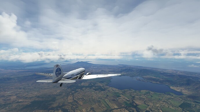
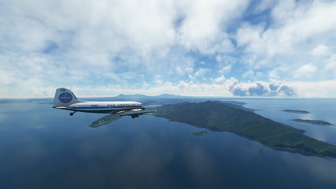
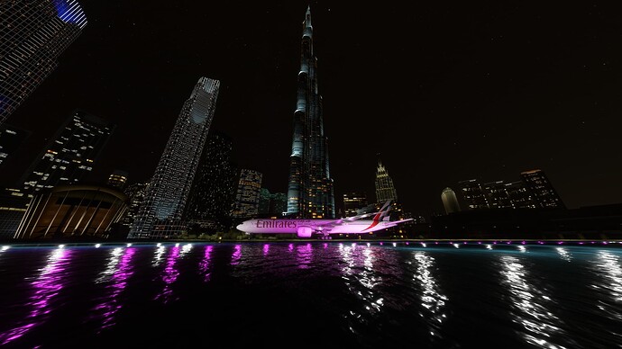
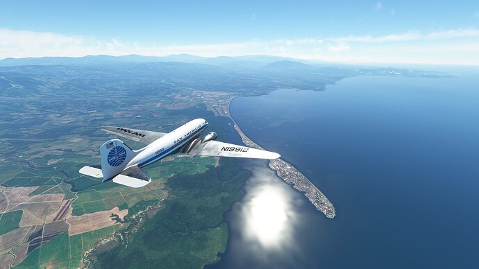
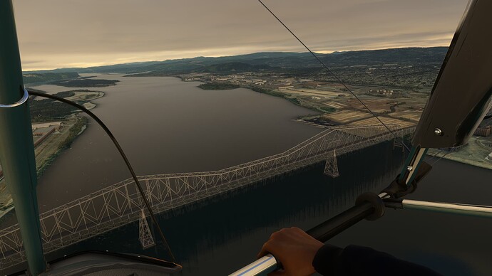
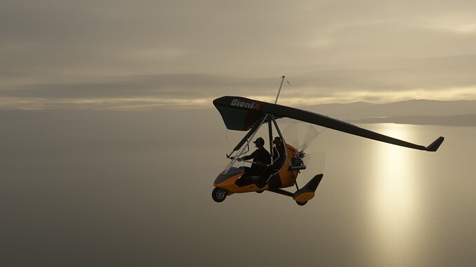
Leg 46 around Pacific in DC-3 in real weather: MSSS ![]() MRLB
MRLB
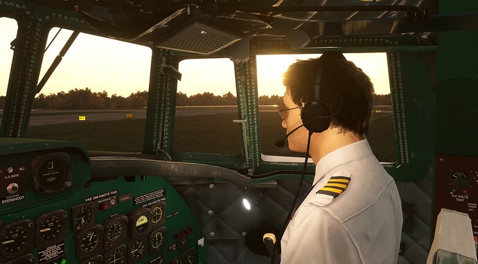
I experienced quite strong weather change at departure. I checked METAR at San Salvador and it was 23 hours old. I started engines and at that time there was little wind 344@3. I finished runup and ATC announced wind 022@19. I checked METAR again and there was new one published. Luckily it was still fine for rwy 33. Just had to use 70% rudder on takeoff.
Scattered clouds most of the flight, so I flew manually avoiding clouds. And had to descend 40nm before I planned to, so that I avoid clouds. Luckily there were only few clouds at the destination and landing was smooth. I was maybe just a bit low for quite long runway.
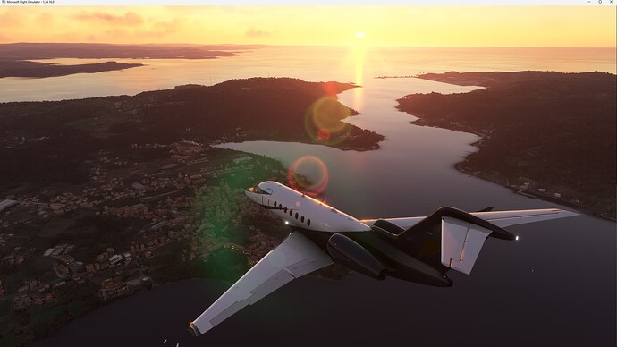
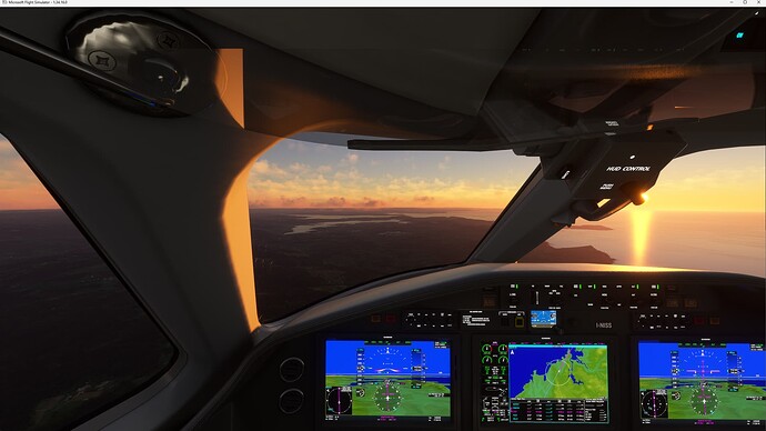
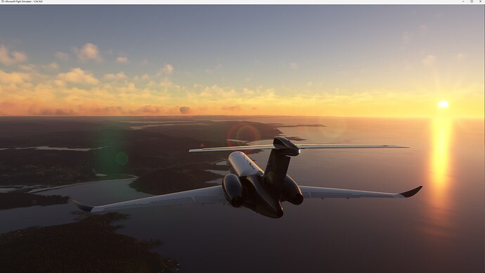
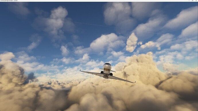
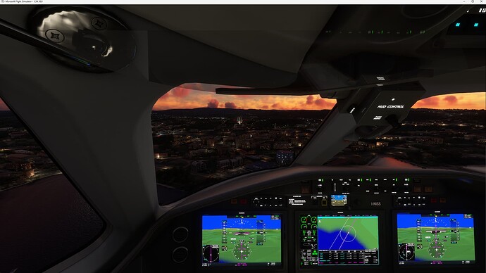
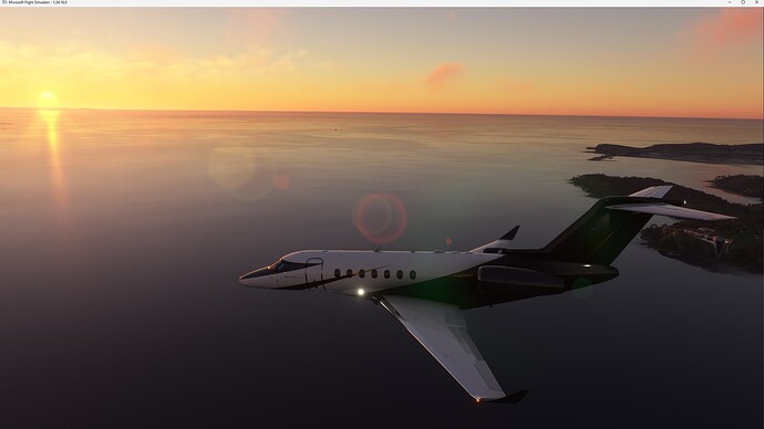
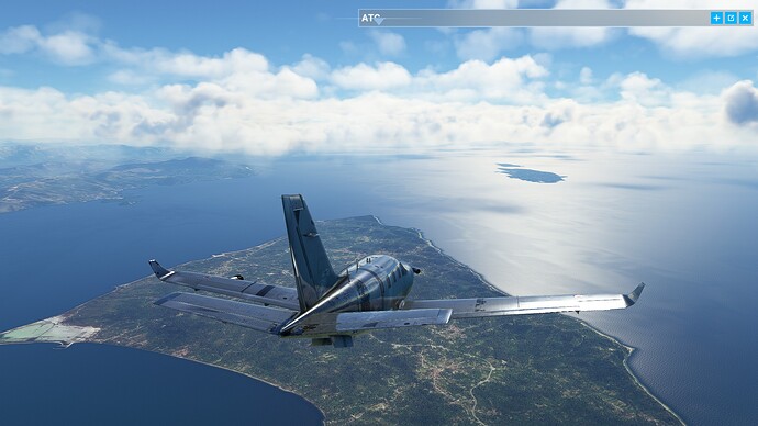
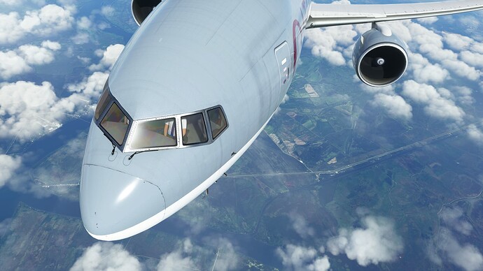
TBM 930 from Italy ( LIBN) to Greece ( LGPZ), about 160 nm
Huge problems with crashing MSFS whenever I load a saved flight, so I just start off with a new flight (and default fuel + payload)
Pictures
Been flying mostly over areas with CAVOK so happy to see some clouds now the fall is in Europe. Especially with this G3000 equipped machine.
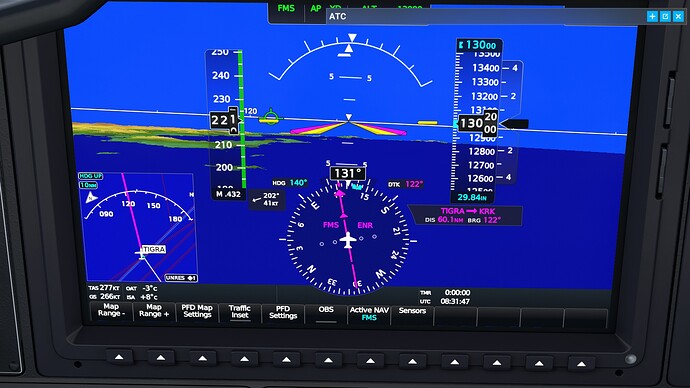
That is some wind here, 41 kts.
The plan is fly around the islands of Greece for a bit, before returning to Geneva to finally get this rusty box a nice paint job
“Generic” once again ignoring ATC, what is this about:
The views don’t dissapoint:
Arrived safe and sound:
thats cool lol
Highlights are the beginning(take off)
4:20
5:30
6:30
8:40
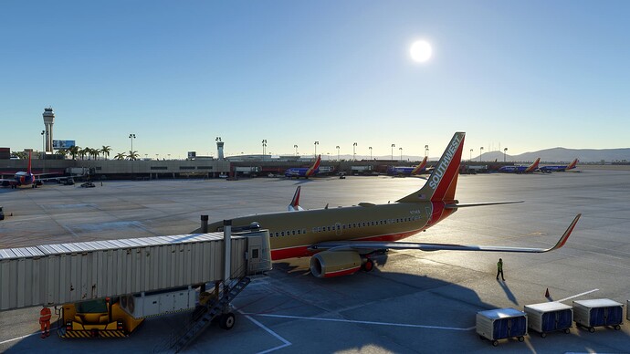
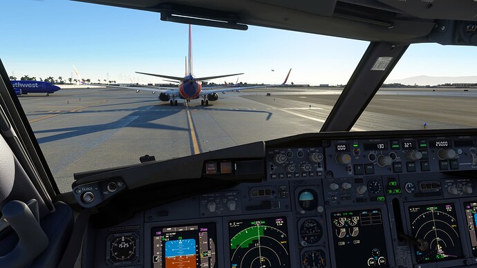
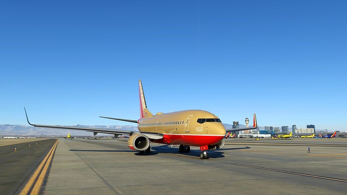
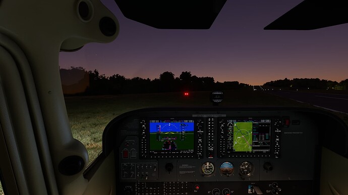
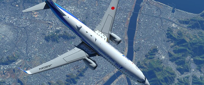
SF50 Vision jet jump from Santa Ana to Henderson Executive. Vegas, baby!
I started New Guinea challenge bush trip in WB-Sim C172 in real weather: AYWK ![]() TBE
TBE ![]() AYHQ
AYHQ
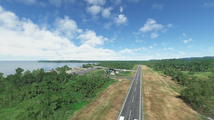
First 2 legs were supposed to be easy. However, it was not easy to identify grass runway. At Timbunke airport there is a road next to runway. I aligned with the light green that I thought was the runway. But that was actually road. And Hauna airstrip was similar experience. There was light green strip that I thought was runway. However, there were tall trees at both ends and the strip is quite short (1478ft). And there was gap in trees leading towards darker grass.
Let’s see what surprises will be next at higher altitudes. Already now in that heat and humidity C172 was lazy to climb. Lazier than I got used to in Europe.
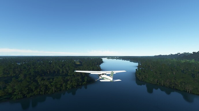
I chose green livery for this trip. Very smart, when I crash in all those green forests, rescue team will find me very easily ![]()
To get used to procedures and flying conditions - still recovering from SU-13 - on my new addition, the L-1049 Super Constellation, I did a quick circuit at Heathrow. All went well - with a system and model learning curve, of course. Promising model, though I read there are two more upgrades planned for it. Good. Landings are messy and don’t need to be.
W24 is one cool little addon. KLYH is fine but needs some smoothing out of the tarmac. I think ‘Pilot’s’ did these but not positive.
Love that screenshots, but please be careful with those square windows!!
Only a problem for the British Comet. Cheers!
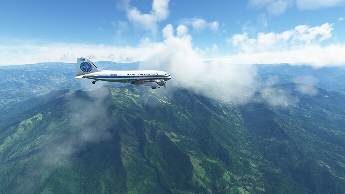
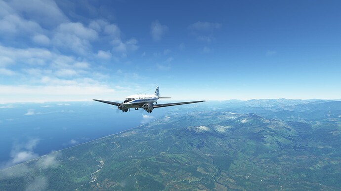
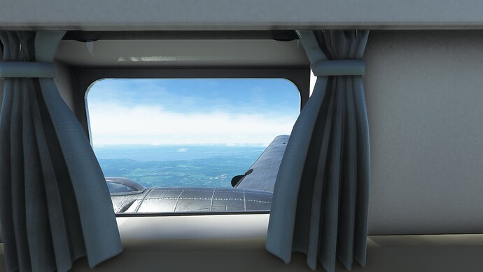
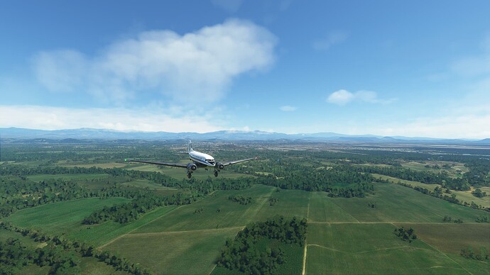
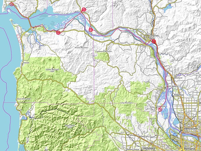
I continued in my tour around Pacific in DC-3 in real weather: MRLB ![]() MPDA
MPDA
Weather was pretty nice. Only a bit turbulent on the descend.
As I reached cruise altitude and switching fuel tanks, I accidentally shut off right engine. So I had to restart it.
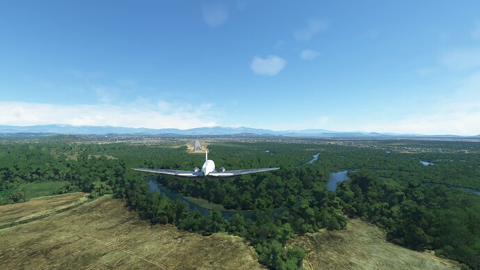
Landing at Enrique Malek airport was strange. The runway 04 was tilted to the right. So when I touched down, I was not sure if I touched both wheel, or there was something wrong with my right gear. But in the end it was nothing wrong with DC-3, the problem was with the runway.


