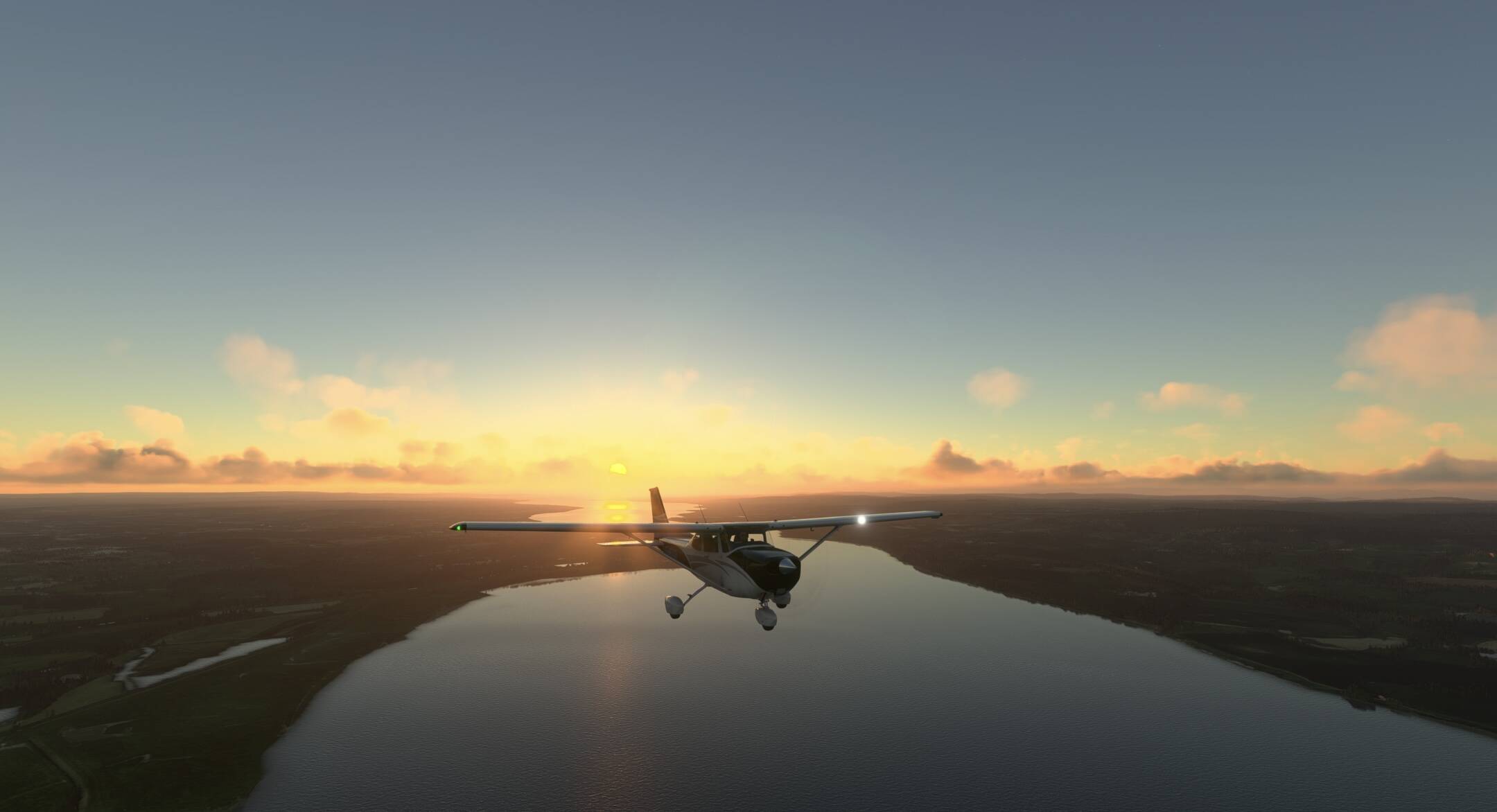
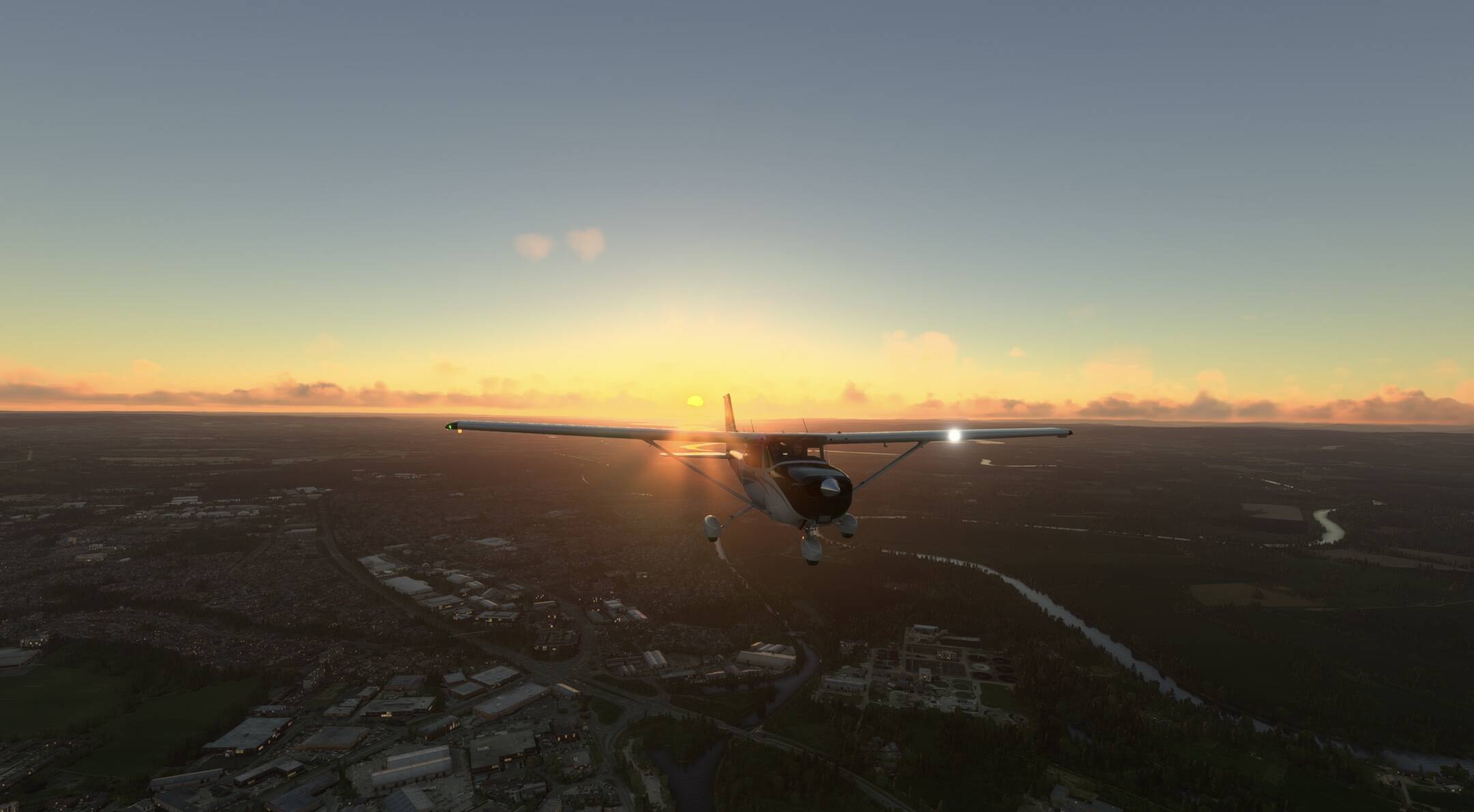

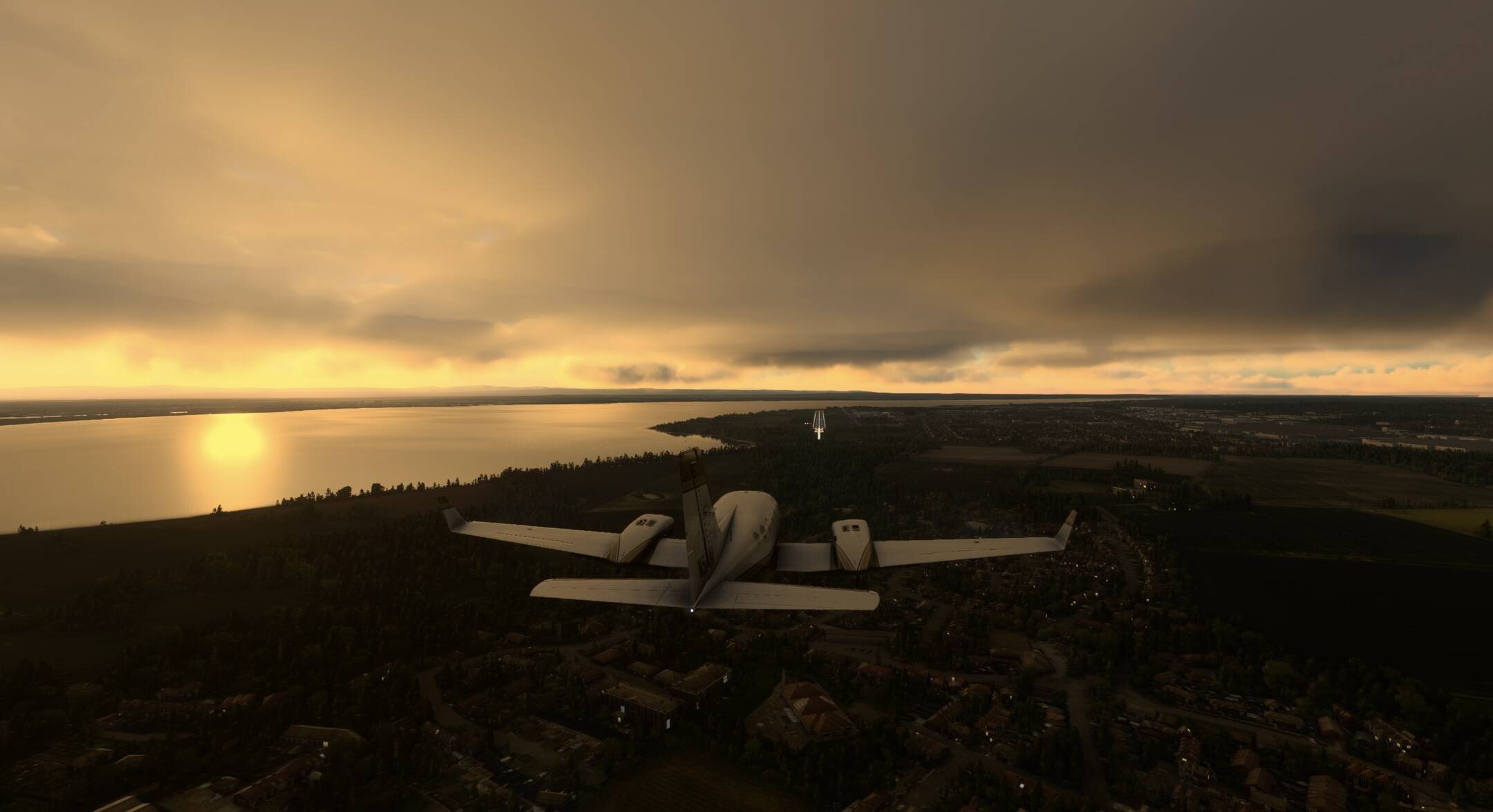
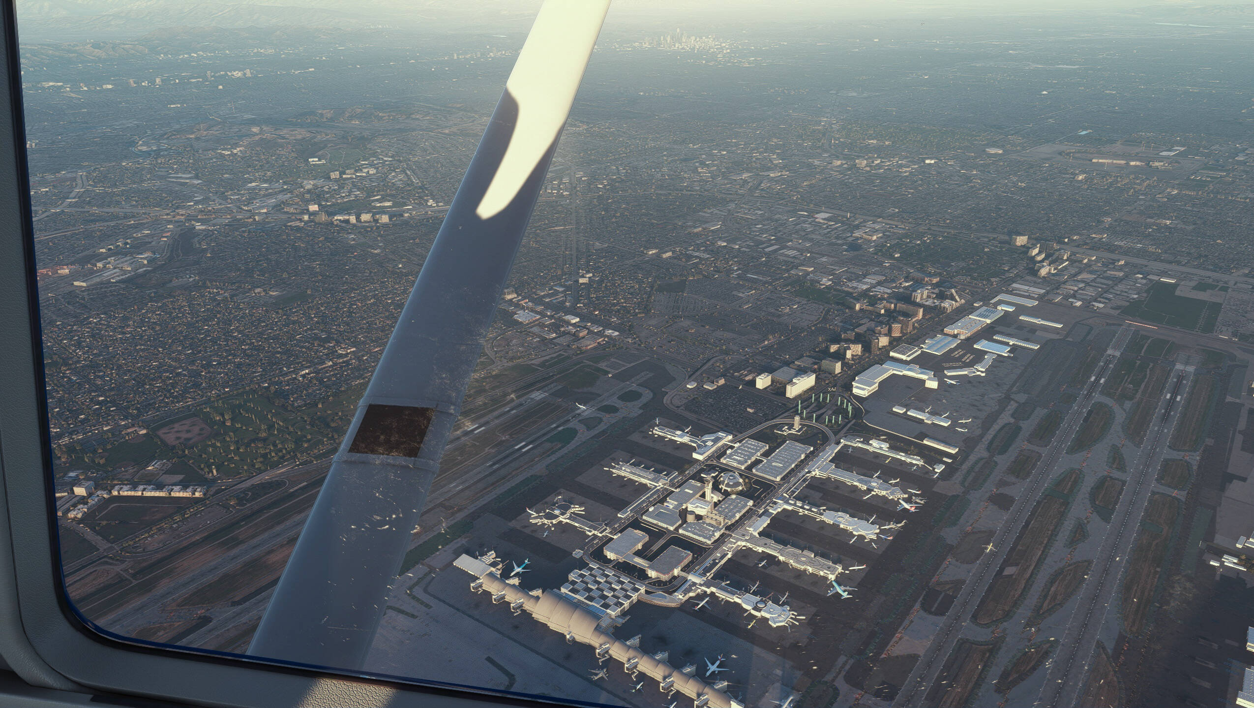
Cardiff to Gloucester in the steam gauge C172, crosswind landing and tricky taxing due to wind
10 Likes
Nice. Very, very nice.
This has been on my list to do for a while but not got round to it, very good job.
3 Likes
Having had the Florida Keys come up in a non-FS-related context, I decided to fly the length of the Keys from the Bay Harbor Islands to the fabled Key West.
This I did, departing Miami International Airport (KMIA) in my H125 and flying the length of the Keys to Key West (during which flight I discovered that the H125 autopilot is in fact a notopilot - sadface emoji).
I was running SimEFB’s moving map to keep me a little aware of where I was - you might think I couldn’t get lost following the line of the Florida Keys, but I assure you I could - and so on arriving at Key West I was a little surprised to see on the map that this was not in fact as far as I could go. There are several Keys to the west of West, ending at the Marquesas Keys some 22 miles further on. I flew on and landed at what I judged to be the Marquesas Keys westernmost point:

Done! Except…
It turns out that a little less than fifty miles further on to the west of the Marquesas Keys there is another little cluster of elevated seabed known as the Dry Tortugas. Presumably so called because they were the inspiration for Prohibition.
I looked at the map and thought, OK, I’ve started so I’ll finish.
There was nothing of interest at the Marquesas Keys and I was expecting nothing else of the Dry Tortugas.
So imagine my surprise when I saw this:
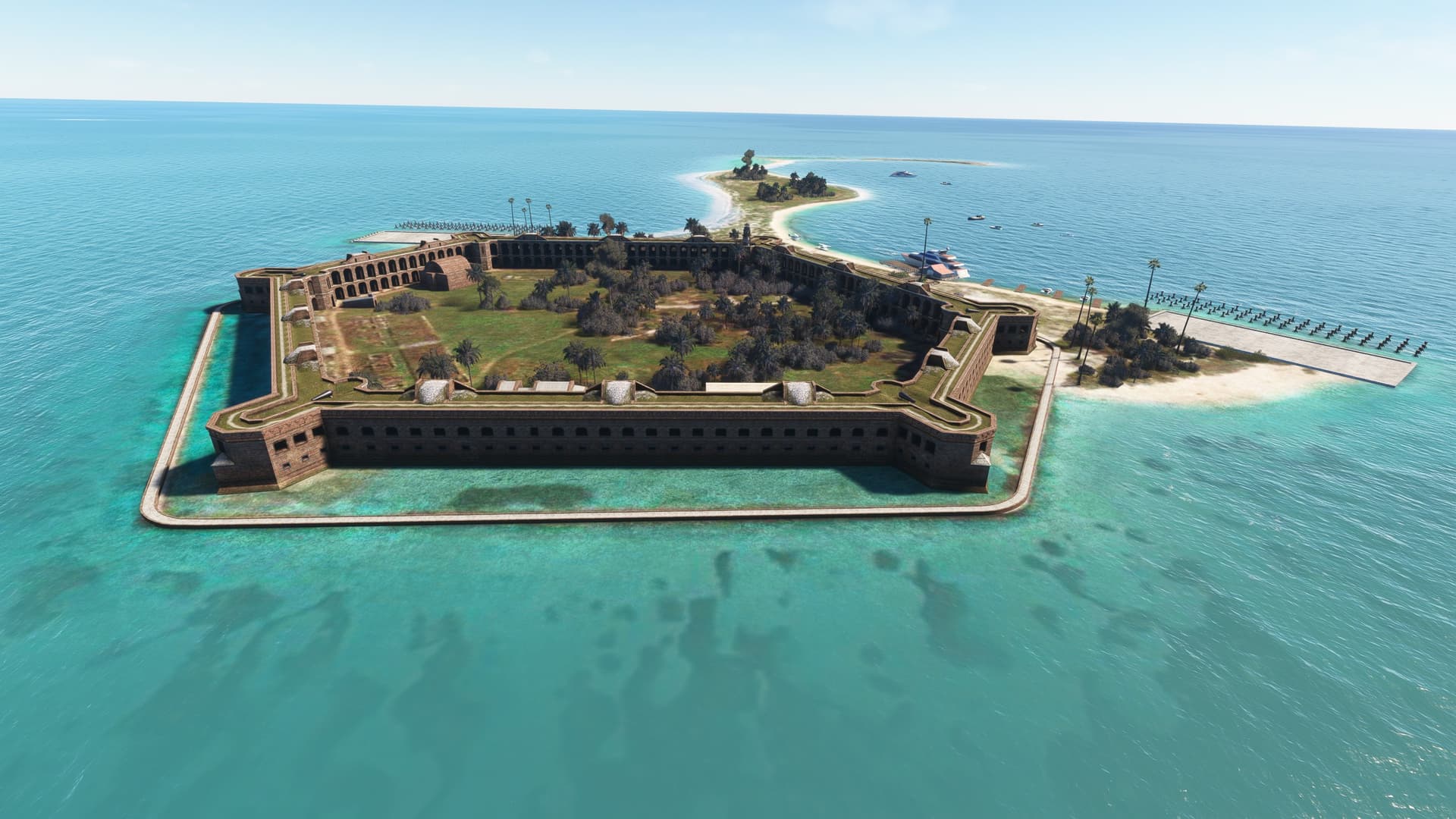
This is Fort Jefferson, built over thirty years from 1845-76 and never fully completed. Still, it served its two main purposes, to protect the Dry Tortugas as a U.S. harbo(u)r and to prevent anyone else using it as a base to threaten the U.S coastline.
Interesting as it is, however, it isn’t the furthest west you can go in the Dry Tortugas. This, give or take a grain or two of sand, is:
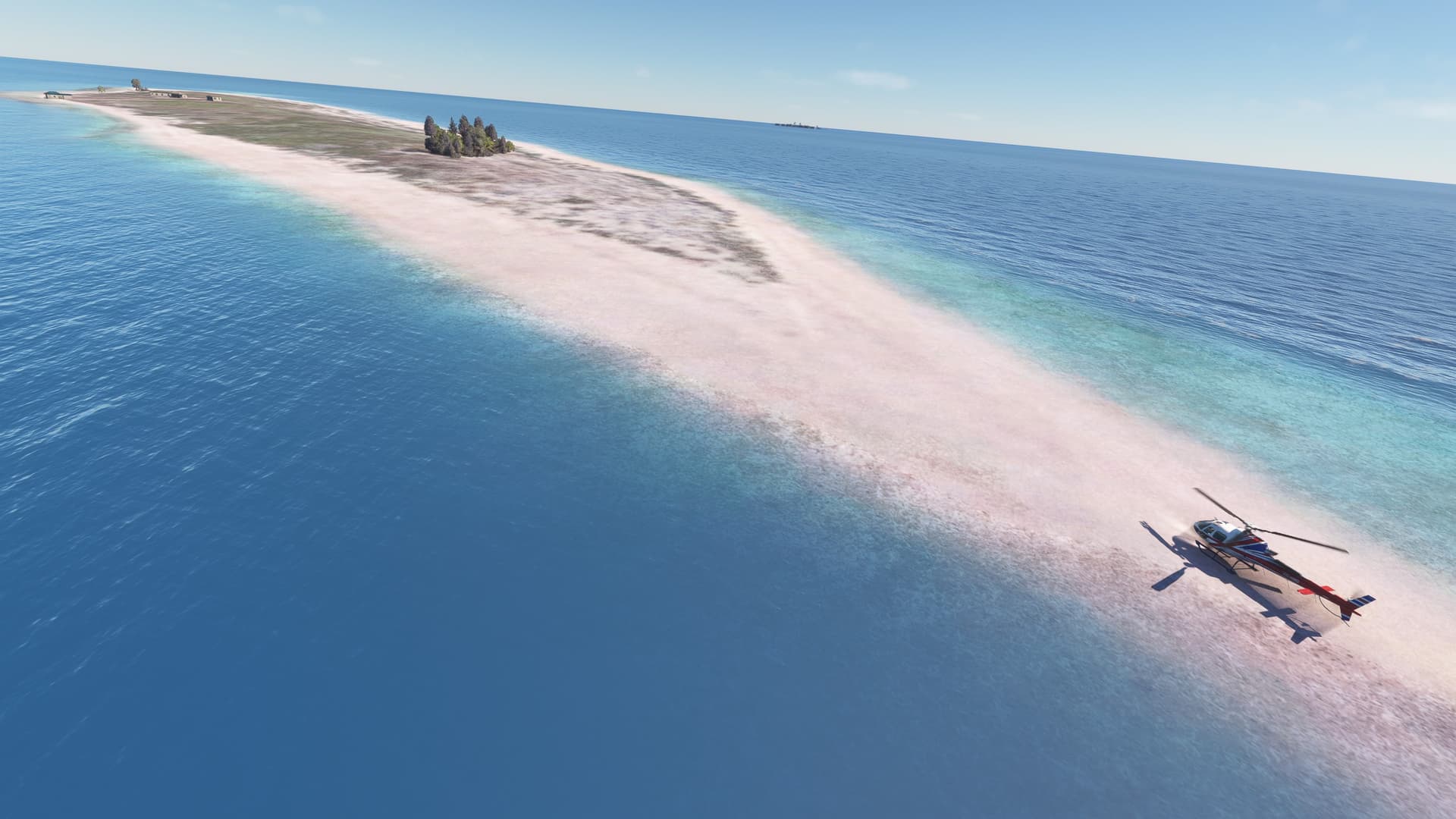
Happily, I was unable to find anything on the map further west than the Dry Tortugas and so headed back east to make a final landing at Key West(ish) International Airport (KEYW). Hey, I finally figured out a way to shut down the H125 after landing. Not necessarily the way, but a way certainly:

11 Likes


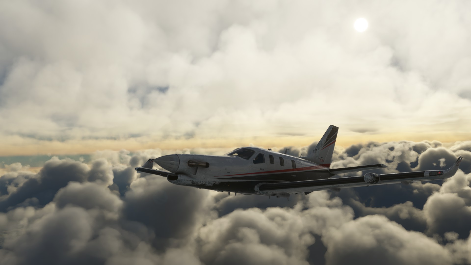
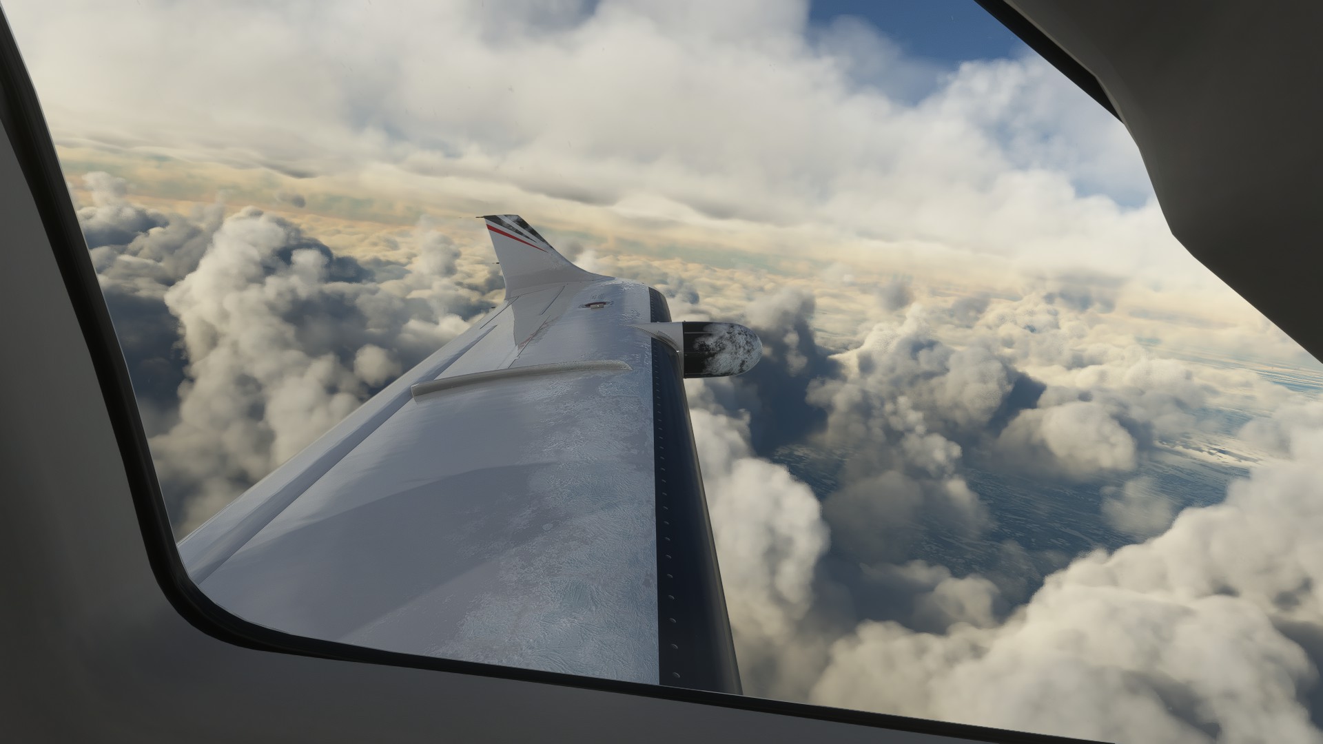
“Exit Icing Conditions Soonest.”
Departing Goose Bay, the precip was pretty bad up until about 9,000’.
11 Likes

Here’s the shot that crashed my XBox:

I’m seeing a number of examples of good PG in recent shots here. PG currently looks bad on my system for some reason. I hope it works itself out because that’s one of the main reasons I enjoy the sim.
6 Likes
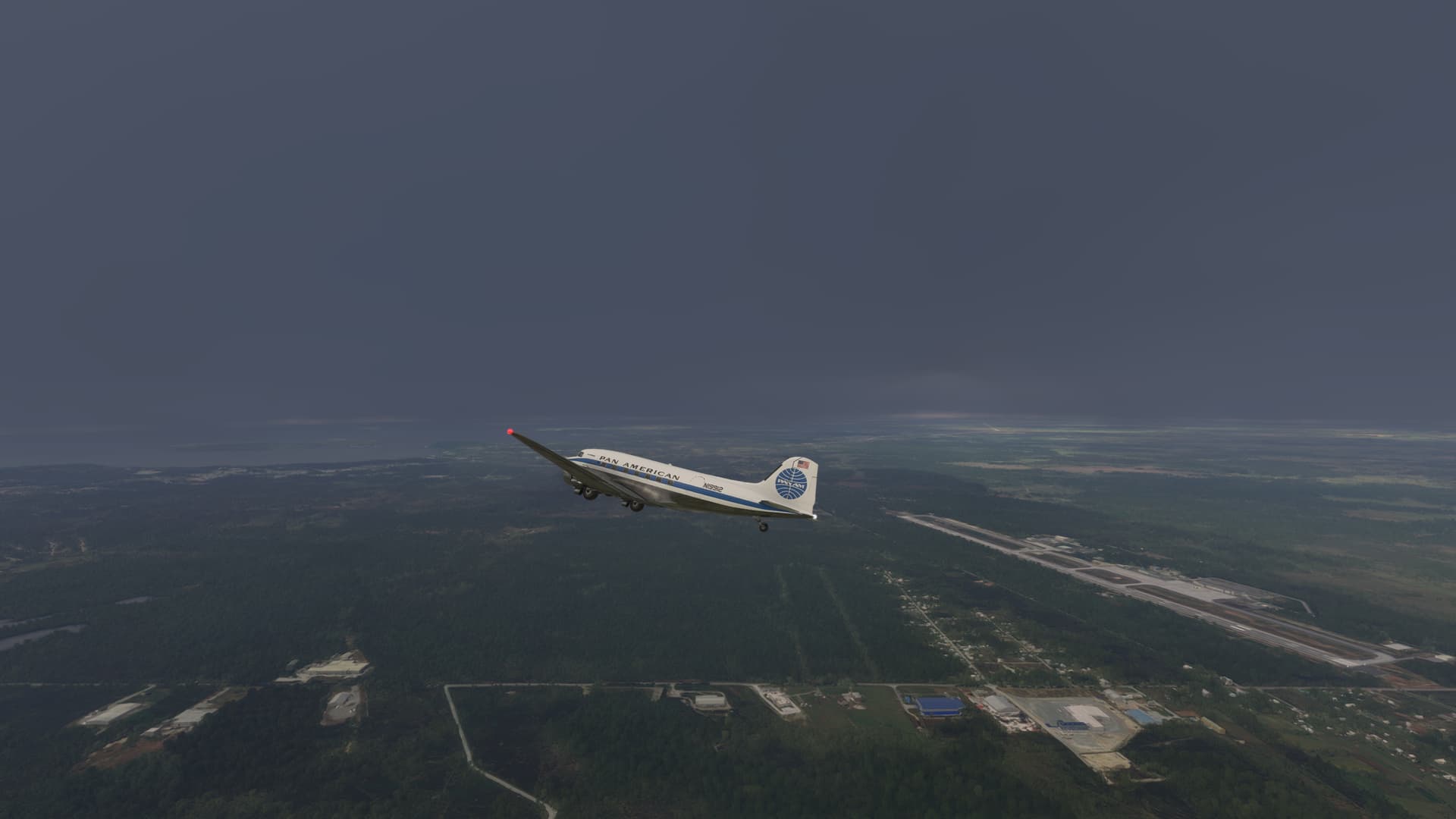
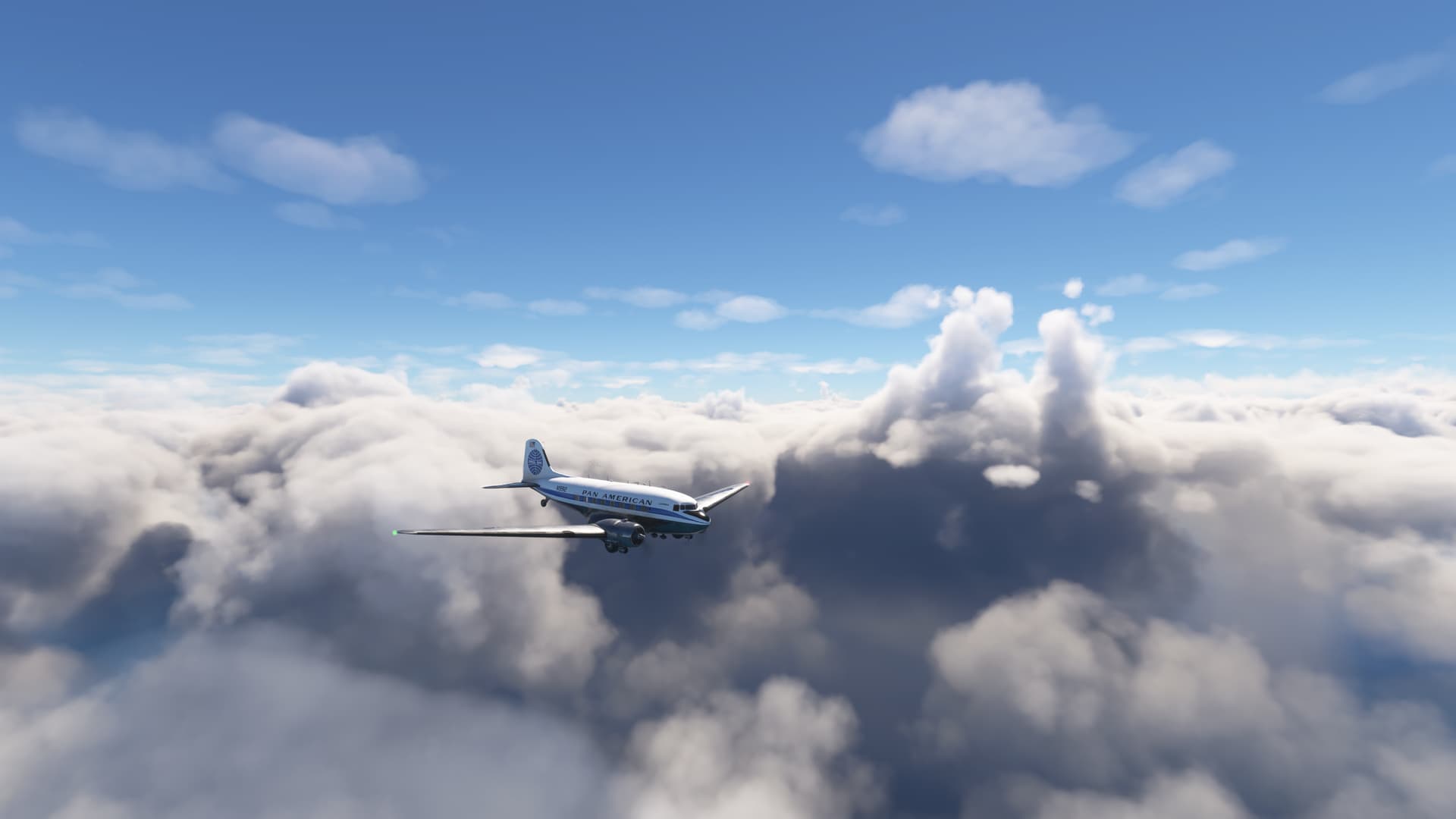
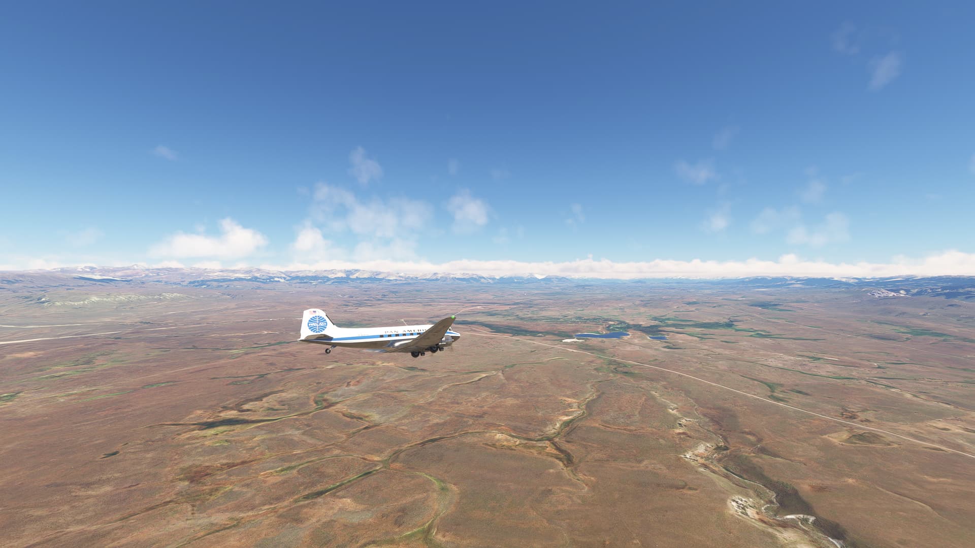
I continued my Pacific tour in DC-3 in real weather: SCTE ![]() SCBA
SCBA
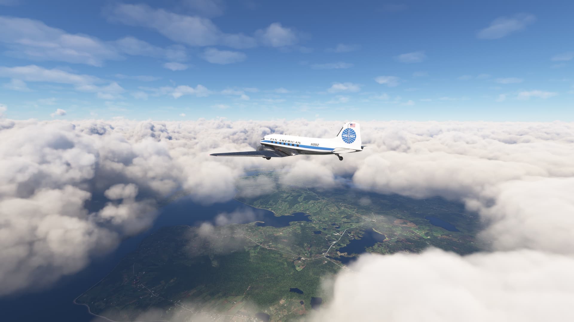
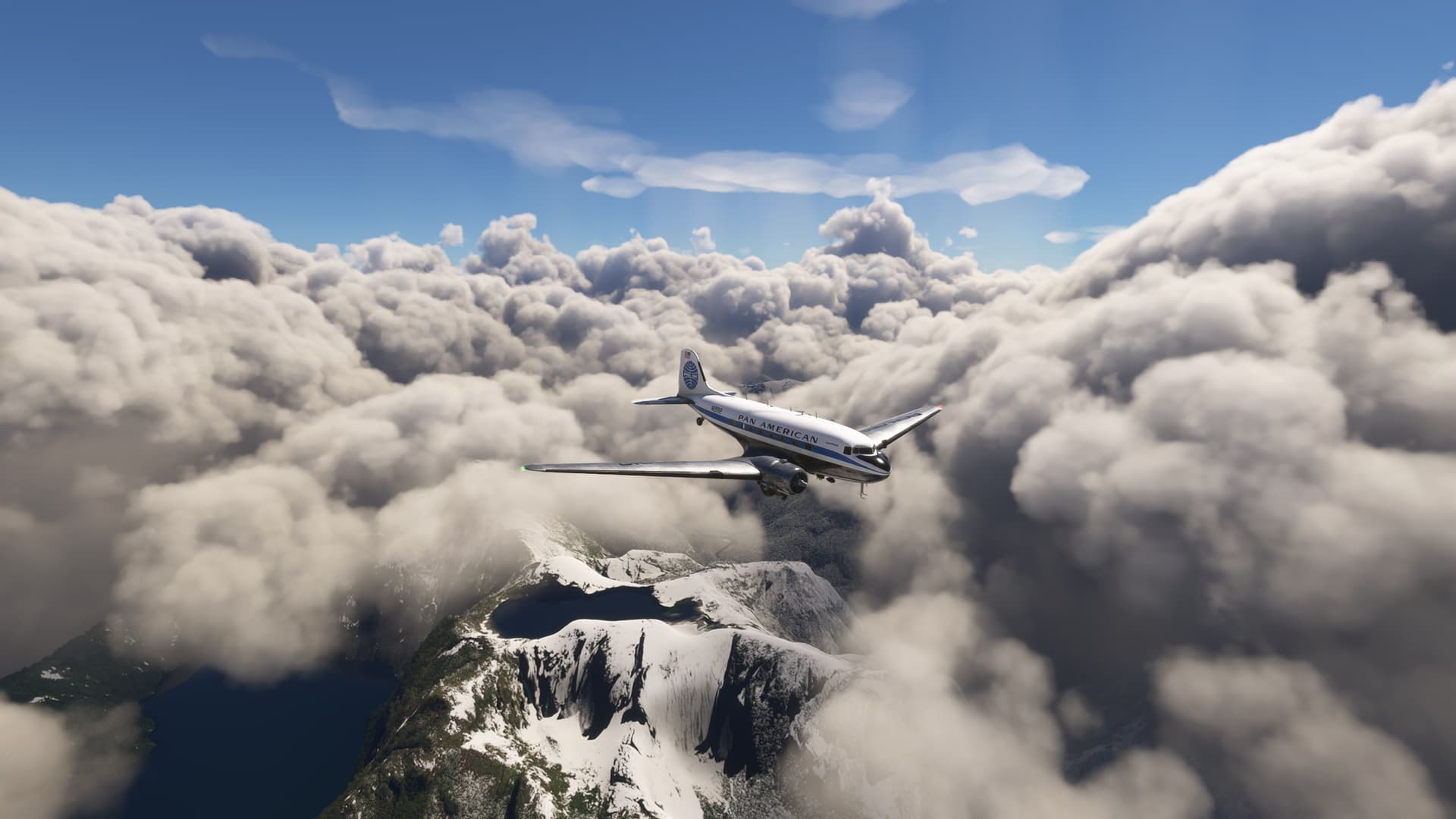
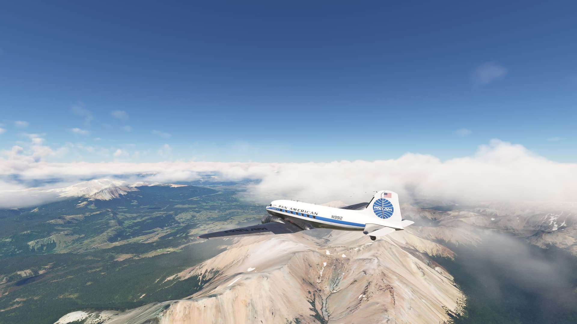
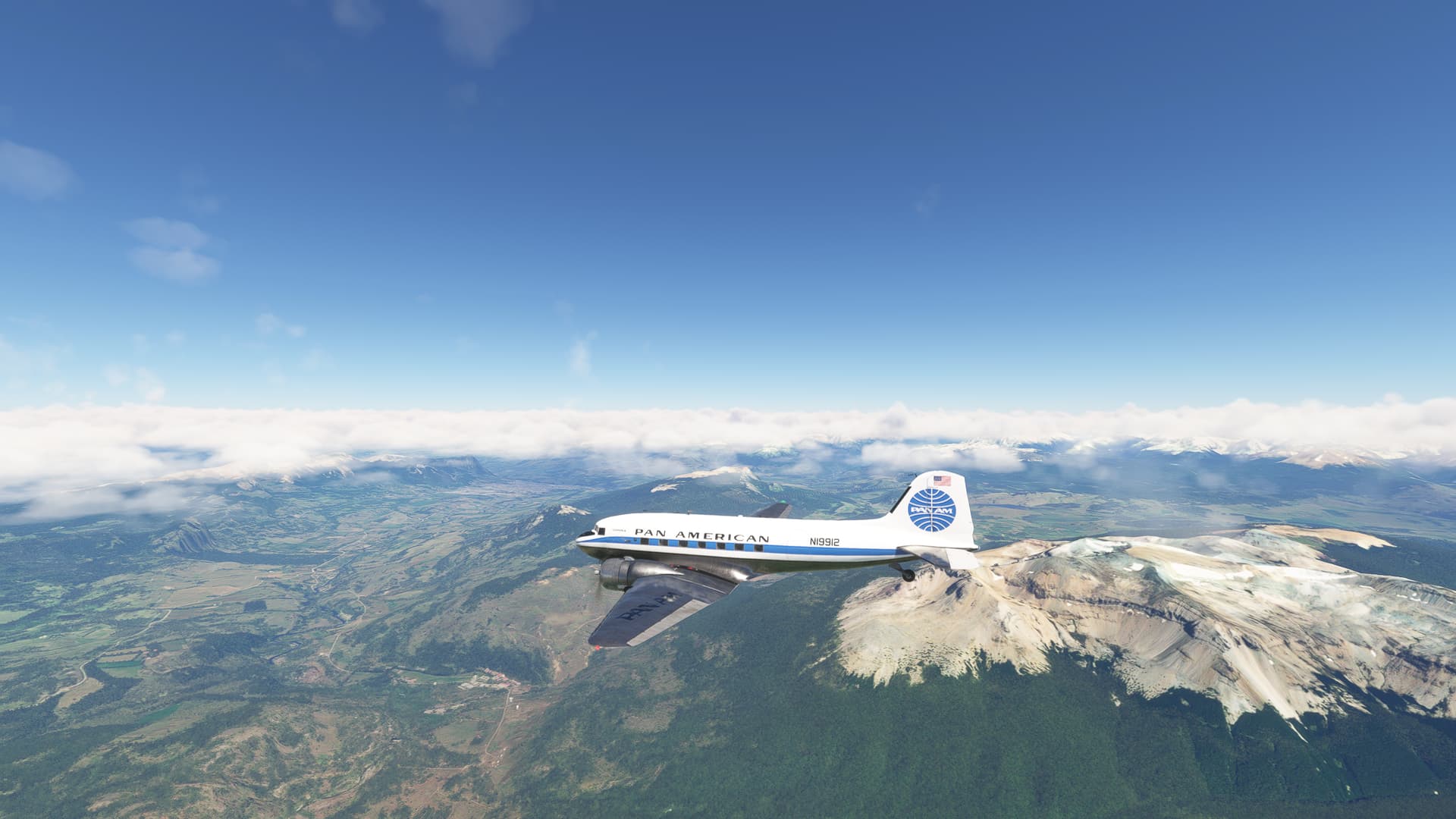
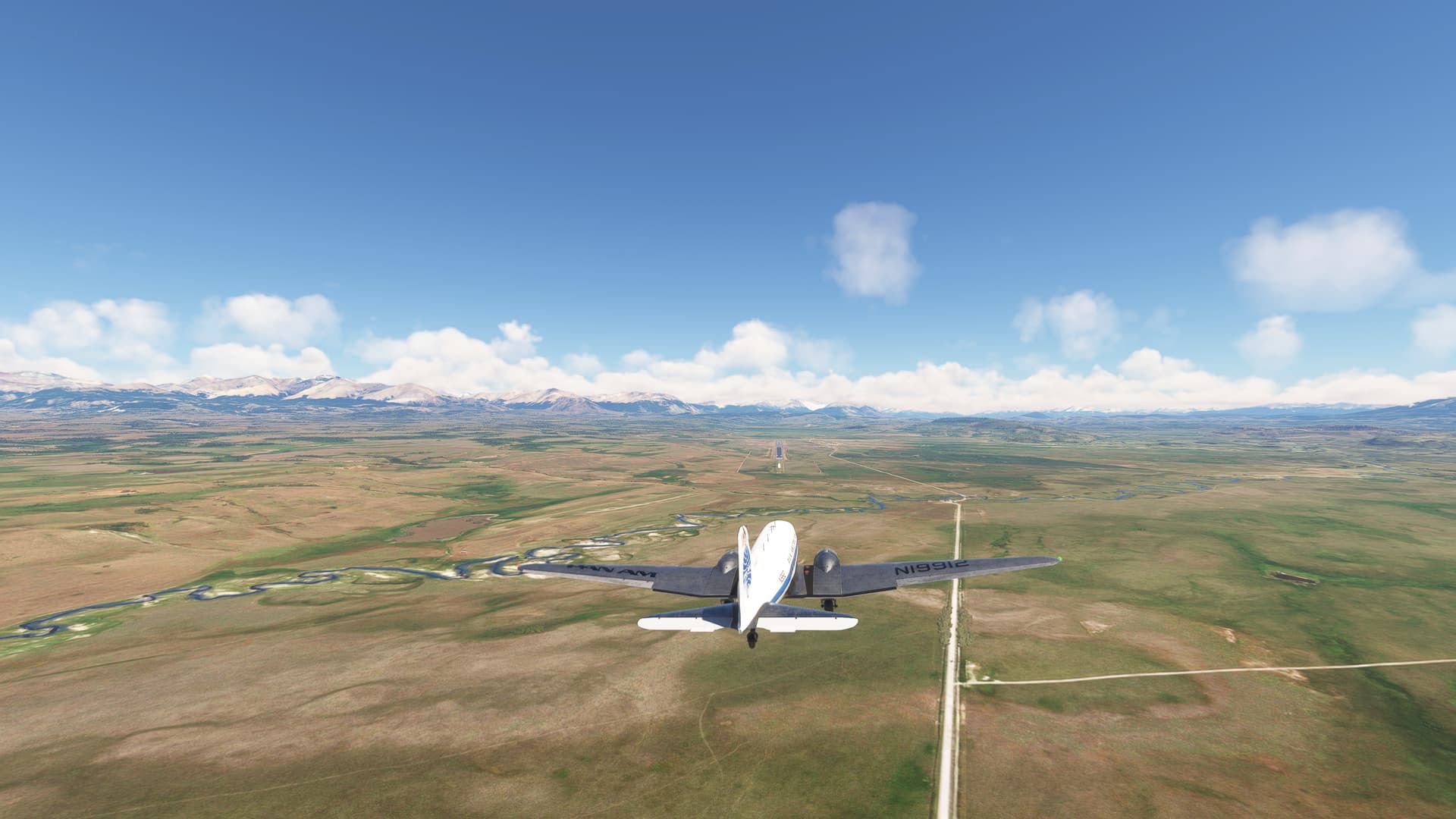
Today it was clear IFR flight. There was overcast in Puerto Montt and cloud cover almost all way to Balmaceda. So I departed rw 35 turned 180° towards VOR TEN. Soon I got over the clouds. However, after reaching TEN the cloud cover was at higher altitude, because of mountains that I had to cross. Then big part of the route was in clouds, strong winds, and icing conditions. But luckily not unmanageable. I just had to keep de-icers and carb heat on and sometimes took over from autopilot. Good thing was that VORs on my route had good range and I has signal all the way.
At the destination it was clear sky. So I received vectors for visual approach rw 27 with wind 291@24. Pretty strong headwind, but luckily no gusts, so I could have steady approach and smooth landing.

9 Likes
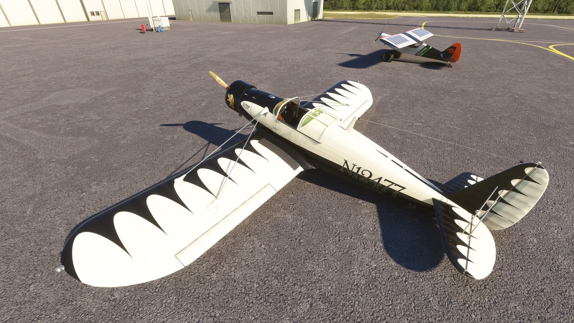
After seeing the Pasped Skylark parked at pretty much every airport I’ve landed at since - having upgraded to a more powerful computer - I allowed MSFS to display aircraft at airfields, I thought I’d better take it for a flight. Perhaps then it would stop nagging me.
I enjoyed the flight: the aircraft is extremely stable, as manoeuvrable as I need it to be, and although the visibility on take-off and landing is an extreme example of taildragger blindness, I managed to take off and land without (quite) going off the runway.
But note the open canopy. I fly in VR, and can’t sit up enough to see out of the blessed thing in level flight without sticking my head through said canopy. Opening it solves the problem, but also means that I shall never ever ever fly the Pasped Skylark in the rain.
5 Likes
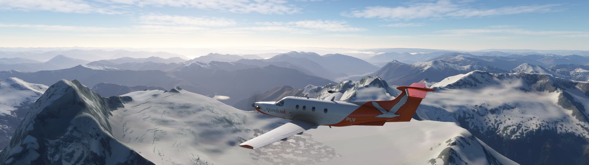
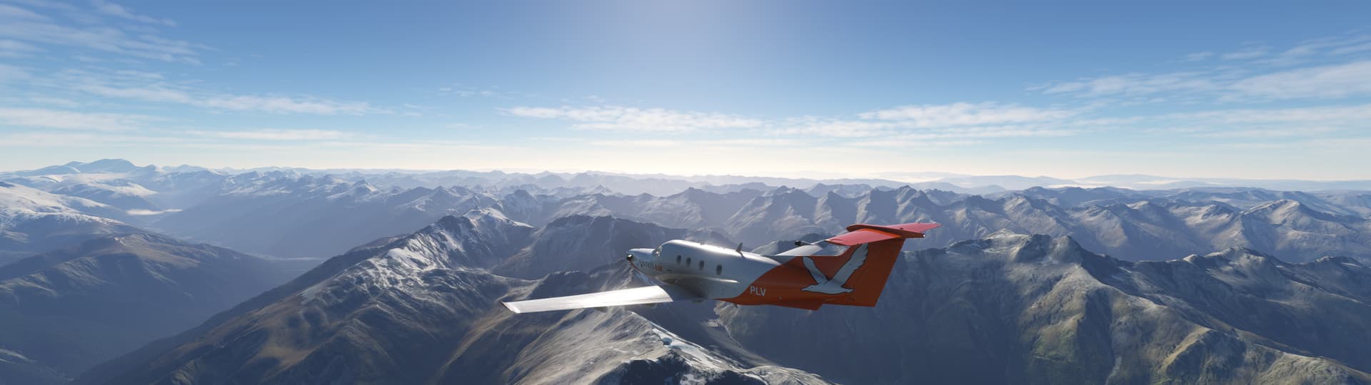
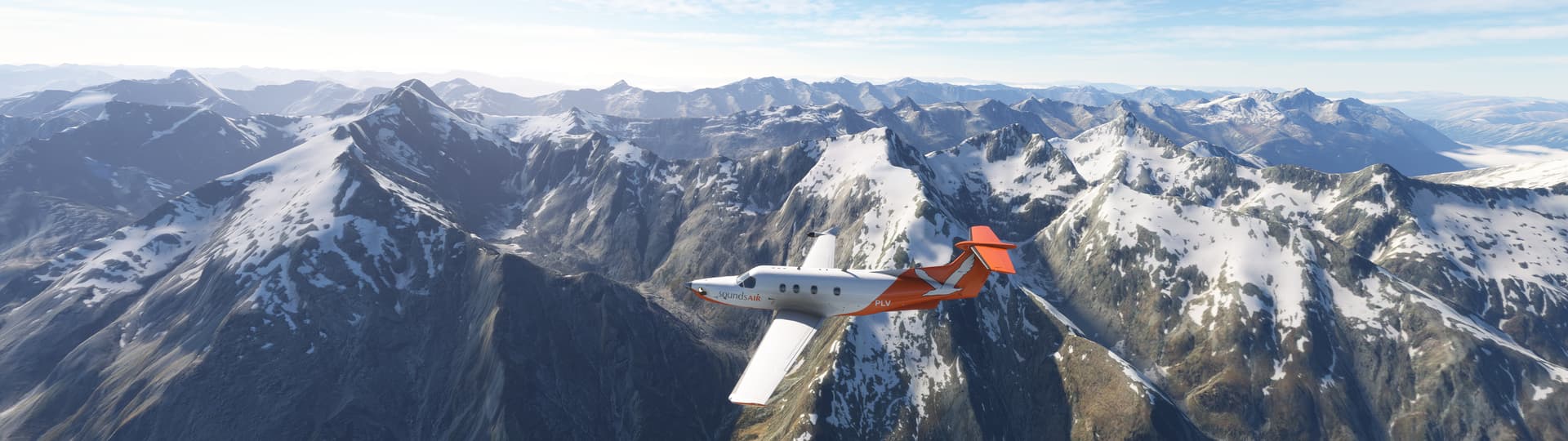
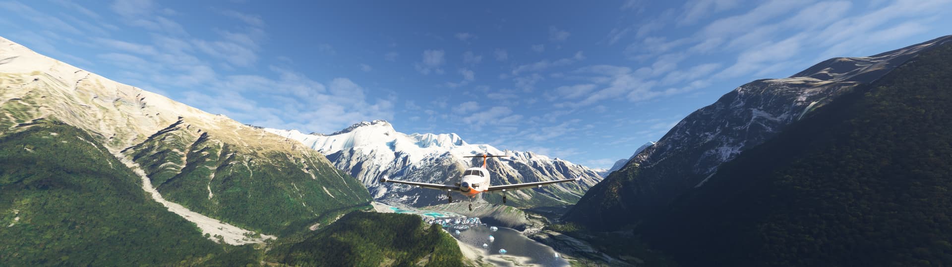
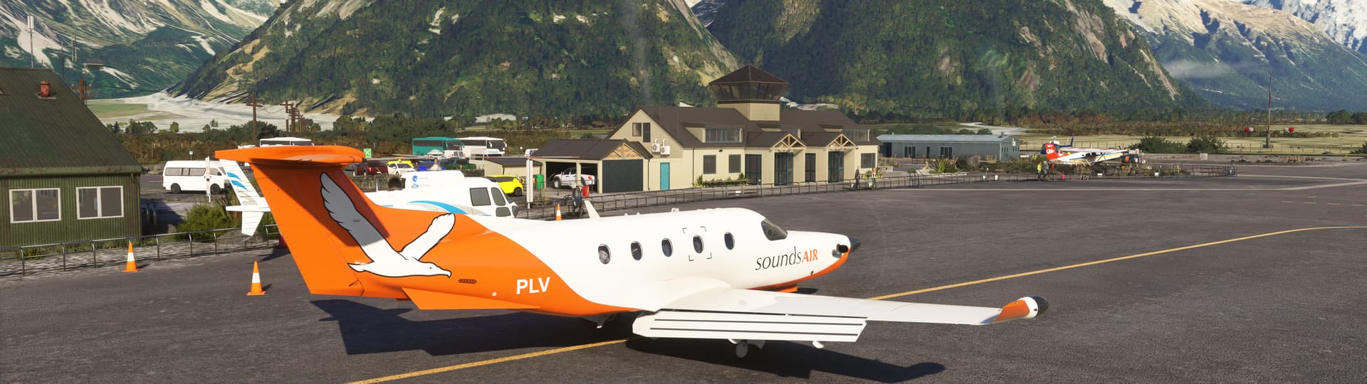
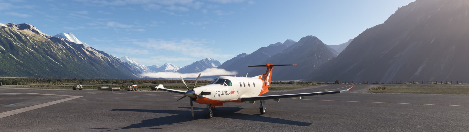
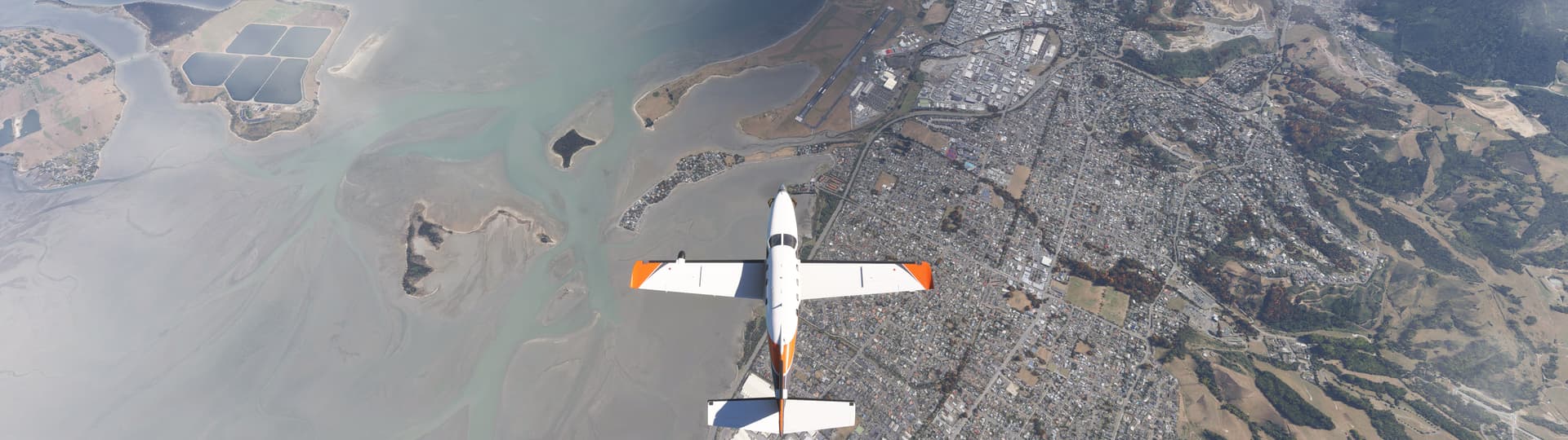
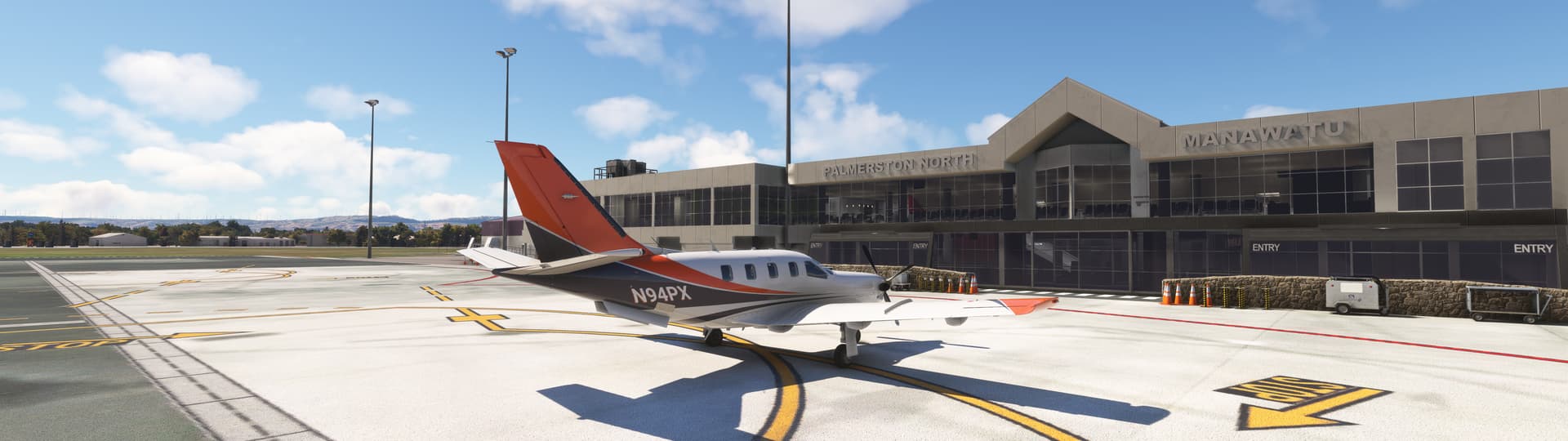
New Zealand South Island to North Island: Taking off from Christchurch (NZCH)

heading north
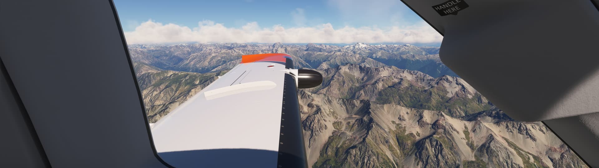

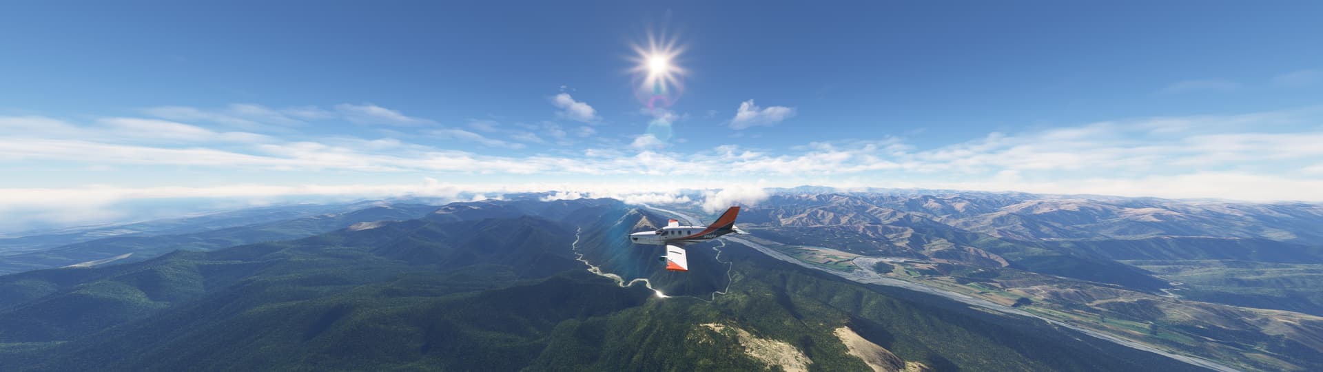
flying over Nelson (NZNS)
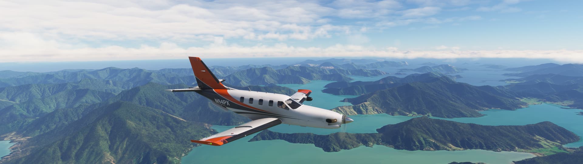
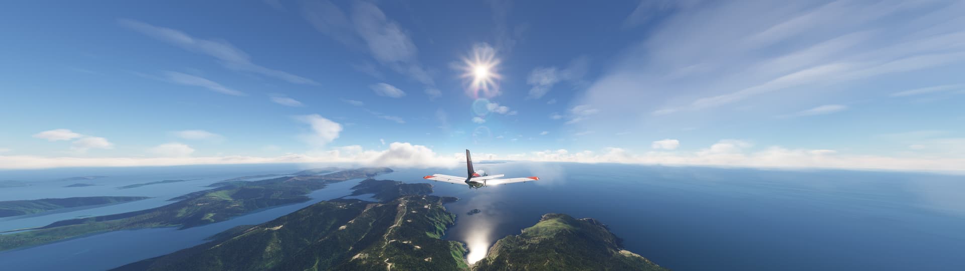
and Wellington (NZWN)

making a safe landing at North Palmerston (NZPM)
12 Likes

Today i did this. With DC of DC Designs. ![]()
![]()
1 Like


12 Likes
Yesterday I finished the second leg of my “delivery flight” for Fokker 28 Mk. 1000 ZS-MYD from Amsterdam all the way to Johannesburg. I’ll write that trip up when I finish the whole route.
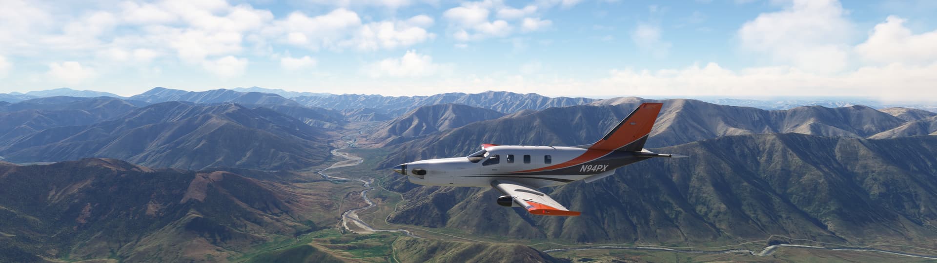
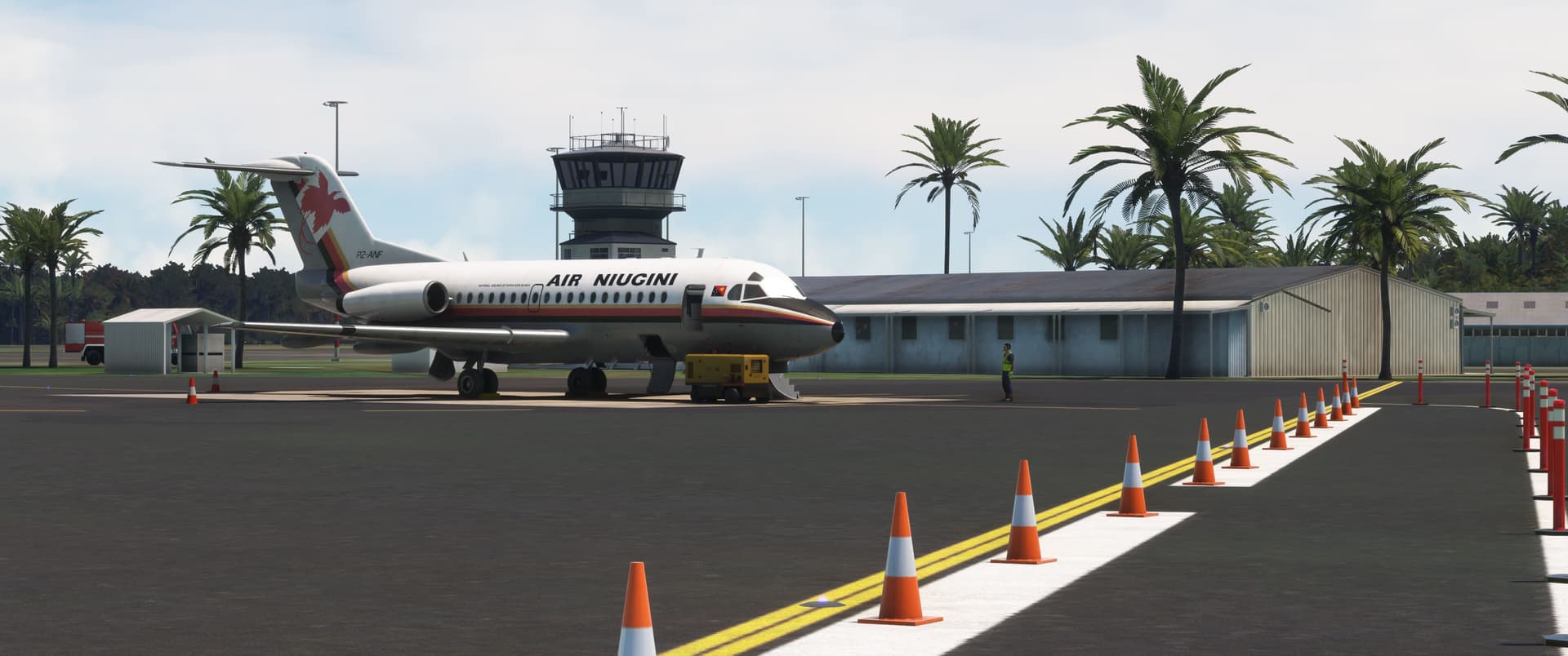
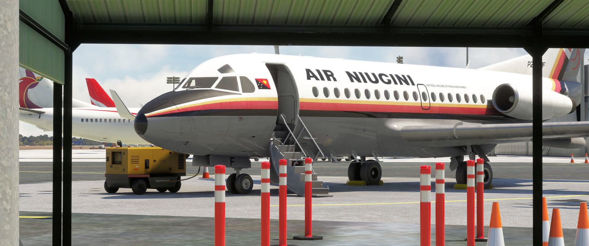
Today I looked to fly somewhere I’d never been before, and I found that place in scenic and rugged Papua New Guinea! After perusing available textures, scenery, and timetables, I settled on Fokker 28 Mk. 1000 P2-ANF and Air Niugini’s Flight 153 from the 1979 timetable, a two-leg segment between Madang (AYMD) and Port Moresby (AYPY) via Lae (AYNZ). In '79, ANF would have been only a few months into her tenure with Air Niugini, having arrived from Transair Canada in February. Scheduled departure was 1135 with arrival at Port Moresby at 1320. The weather along the route was typical for December in PNG, with broken cumulous and scattered heavy rain showers. I elected to forego MSFS ATC as, even with recent improvements, I find it less than accurate and more trouble than it’s worth.
Thanks to foxybr for the texture, and to Mountainair for all three upgraded airports. All are available at flightsim.to.
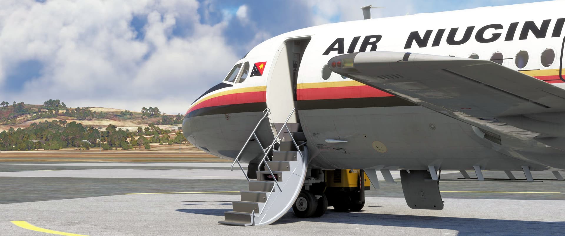
Here’s ANF standing at Madang, the capital of Madang Province and the largest city on PNG’s north coast. Air Niugini began operations in November 1973 as the national flag carrier. In that first year, the airline’s four Fokker 27s and twelve DC-3s carried 350,000 passengers, 85,000 more than forecast. Since then, Air Niugini has operated various types from the A300 to the 737 and the Dash 8, but as a child of the 1980s, it’s the Fokker 28s with the bird of paradise on the tail that I associate with this fine little carrier!
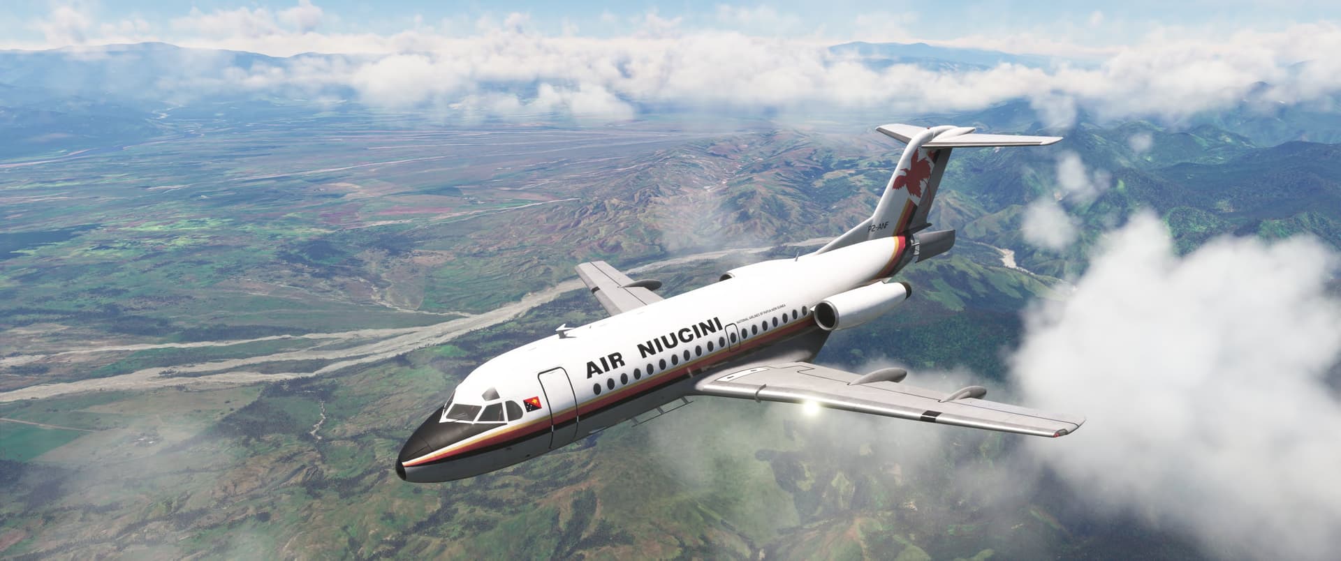
Lae, PNG’s second largest city and industrial center, lies at the mouth of the Markham River on the country’s east coast. Following airway H401 from Madang requires a rapid descent once past the central range of the New Guinea Highlands. Thanks to a convenient cloud clearing, I was able to maneuver overhead and south of the field and fly a visual approach to Runway 27. Here I am appreciating the Fokker’s brilliant speedbrake!
Planning a multi-segment flight like this is complicated, especially since I planned on fueling for the entire route at Madang. I turned to the actual F28 manual, crunched the numbers, and elected to use the high-speed, short-range profile: 320 knots/0.725 Mach during climb, cruise at 17,000 feet, and descent. I ended up under-burning on the first leg, but was still under maximum landing weight when I arrived at Lae two minutes ahead of schedule.
After filling the remaining seats, I departed to the west and turned around to rejoin H401 toward Port Moresby. The VORs in PNG are terminal class with a range of only approximately 40 nautical miles. Although I was able to navigate using dead reckoning and pilotage, I’ll finally admit defeat and begin using the GNS from now on!
Port Moresby was reporting low visibility in heavy rain as I started descending, so I sat the passengers and flight attendants early and planned for the ILS approach to Runway 32R. It’s a commonly known aviation fact that airports, and especially final approach fixes, somehow create thunderstorms! I self-vectored to a 15-mile base leg, avoiding the worst of the buildups along the way.
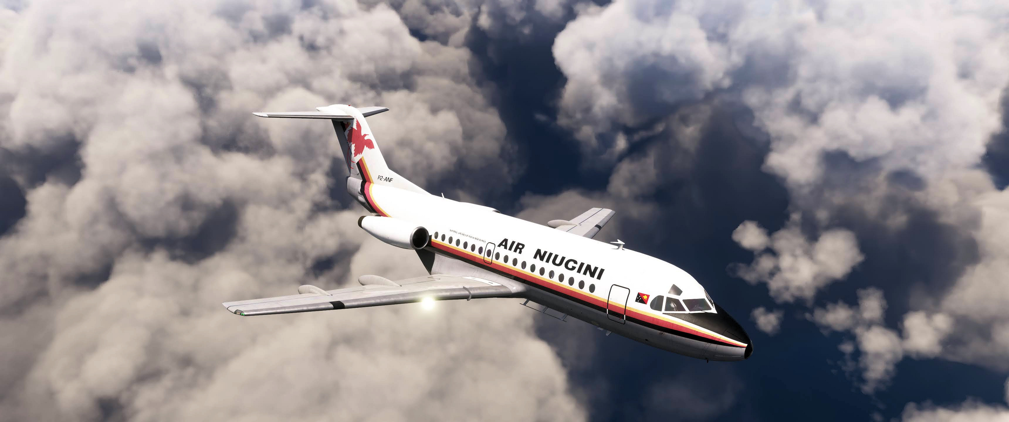
Luckily the rain moved off the field be the time I joined final. Having never tried it, I allowed the autopilot to continue flying the approach. Most autopilots fly like brand new instrument pilots, but besides a little porpoising after glideslope intercept, I wasn’t too put off by this one’s performance!
That’s Lolotoa Island and its beautiful 4-star resort underneath ANF, with Tubusereia and its offshore “stilt village” above the stabilizer.

Thanks for flying with Air Niugini today! (Or “New Jenny” as MSFS pronounces it. I have to find a spelling that works!) I arrived at the gate two minutes ahead of schedule again, pretty descent considering I had to fly nearly 30 air miles past the airport to join the ILS. ANF will be back out again to Madang shortly, but I’m heading out for a late lunch!
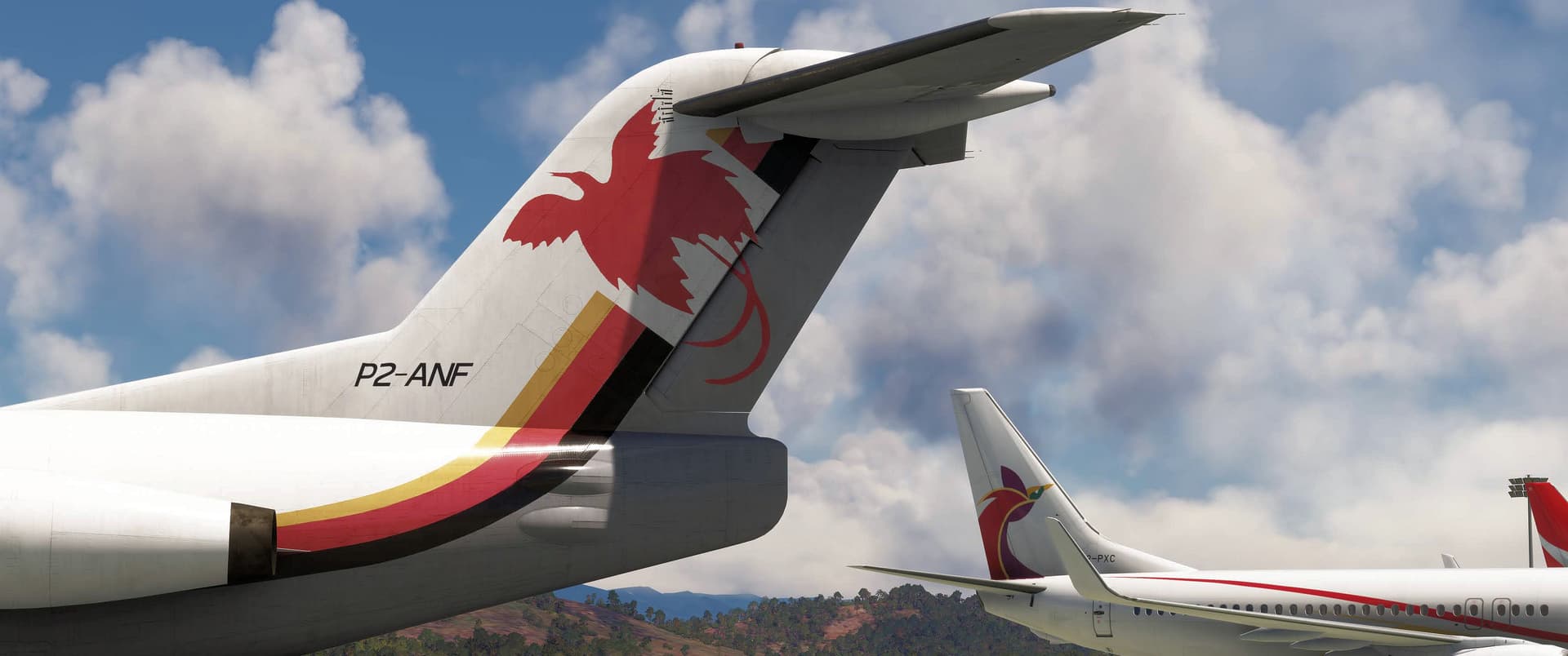
Air Niugini’s old paint scheme is based on the country’s flag. The colors are traditional to the native population and mimic the colors of the flag of Germany, the first European county to colonize PNG. The Southern Cross constellation is accompanied by a bird of paradise.
A tale of two tails! Air Niugini’s newest livery, seen in the background on 737-800 P2-PXC, introduced another stylized bird of paradise and softened the color pallette. It’s almost Eurowhite and too plane for my taste, but what do I know? ![]()
This was a fun outing in a beautiful part of the world! I’m pretty sure I’ll be back again…this time in a suitable bush plane! ![]()
7 Likes