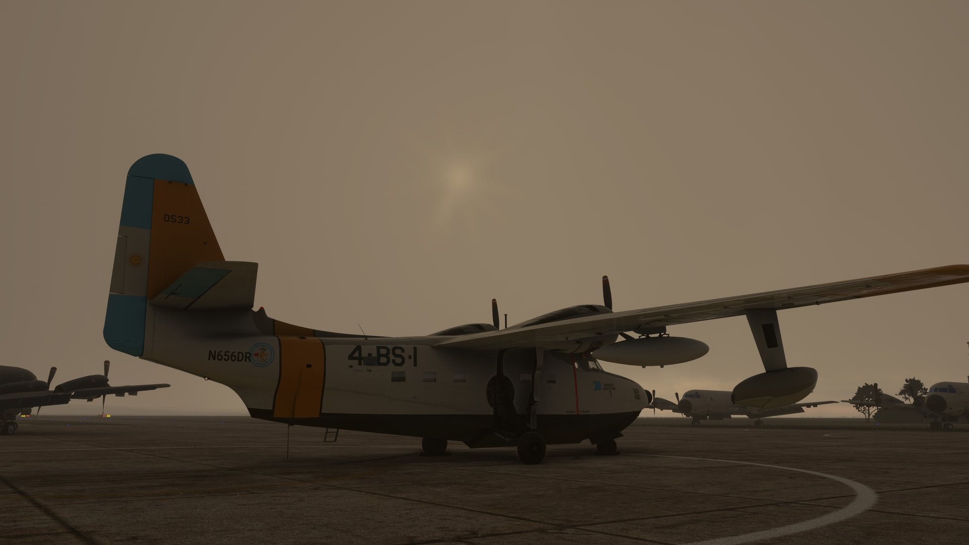
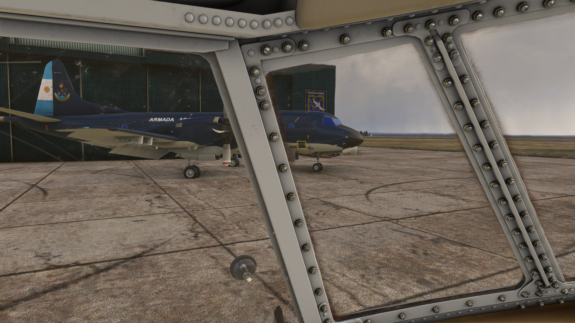
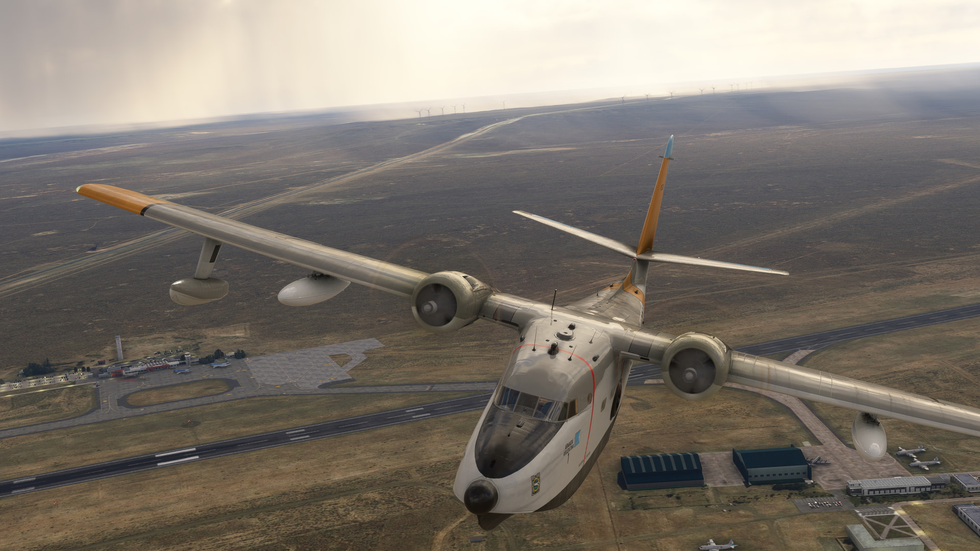
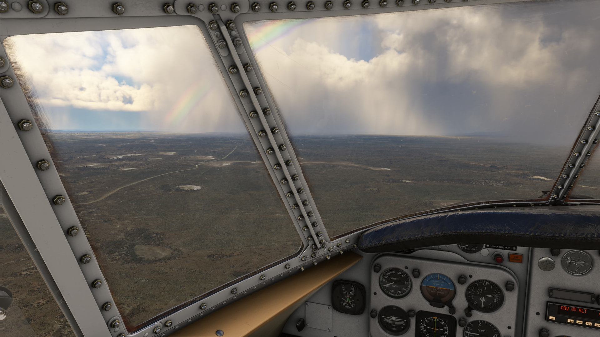
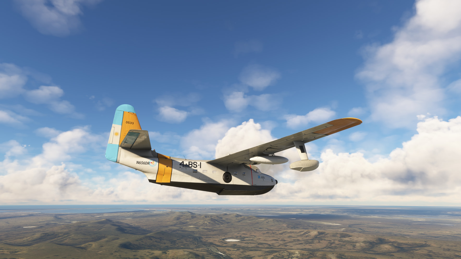
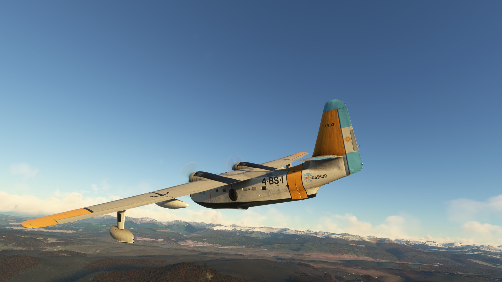
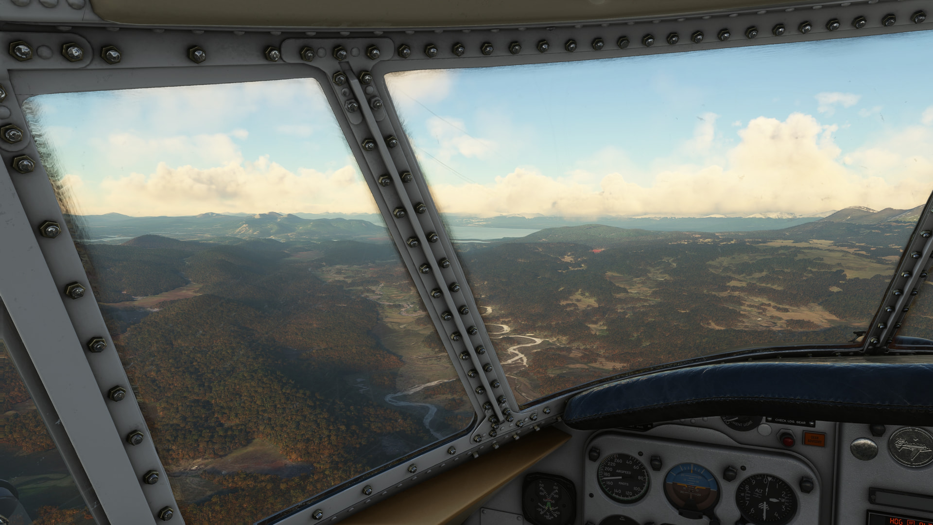
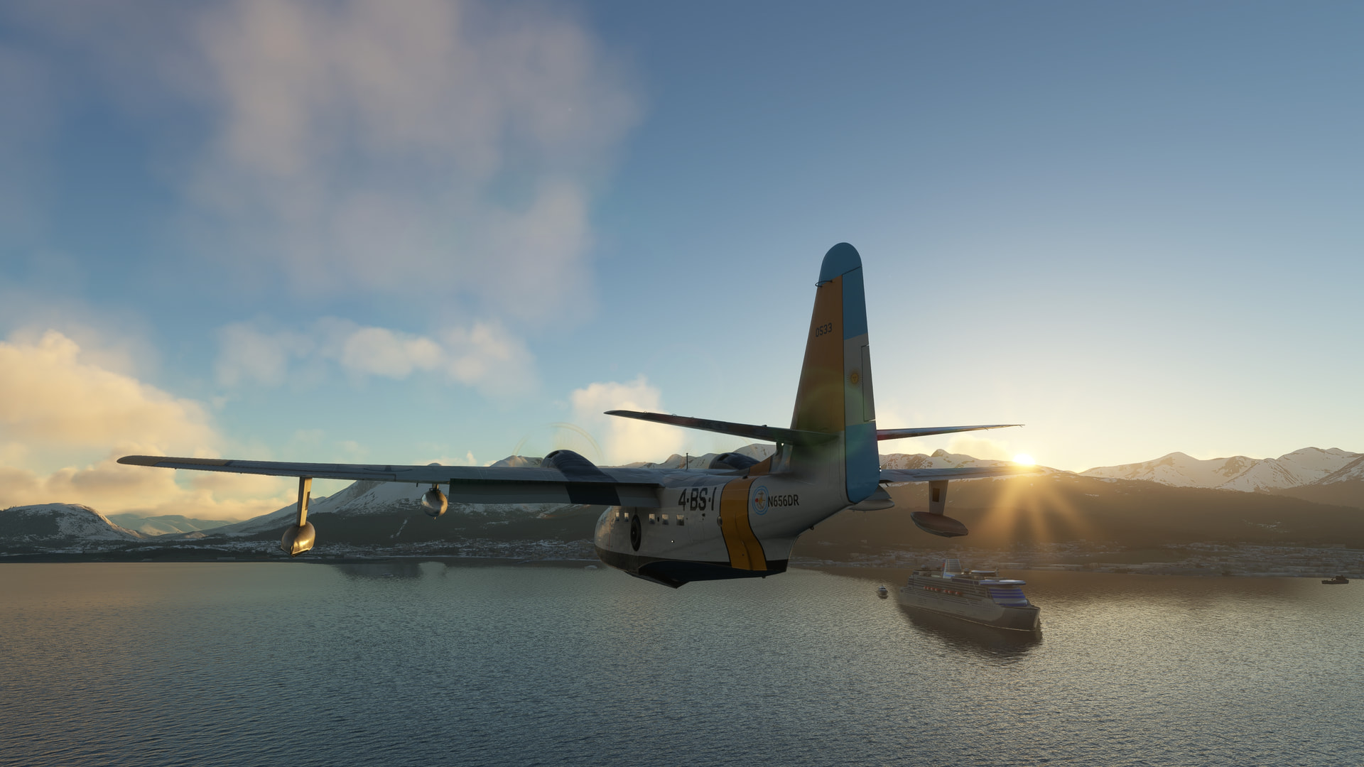
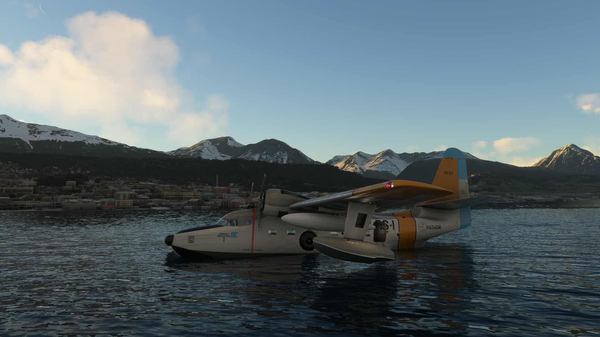
Keeping an eye on those cheeky, sneaky spy vessels 


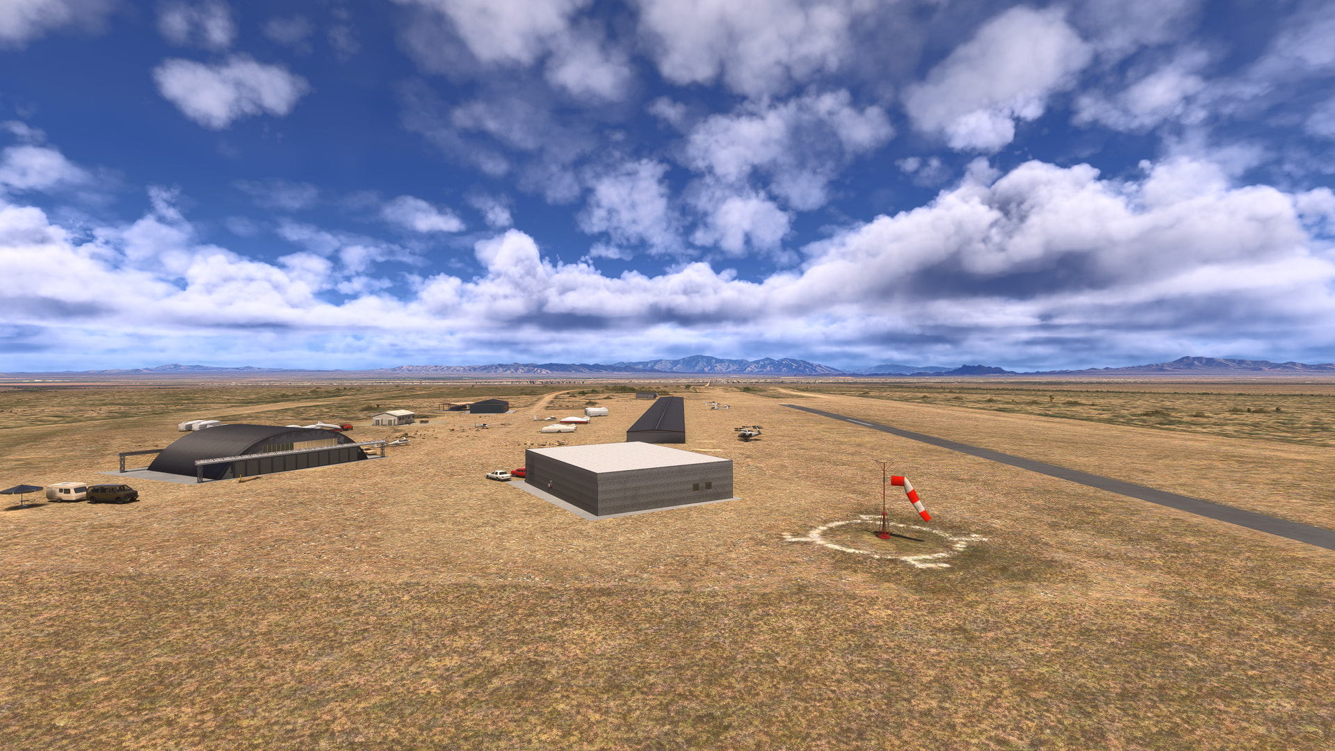
El Tiro (AZ67) to Saguaro Monument (5AZ5), with stops in the West & East sections of WU22 Saguaro National Park.
El Tiro is a glider airport to the northwest of Tucson, so it makes a good starting point for exporing the park. The western section of Saguaro National Park is only ~ 15 NM away to the east:
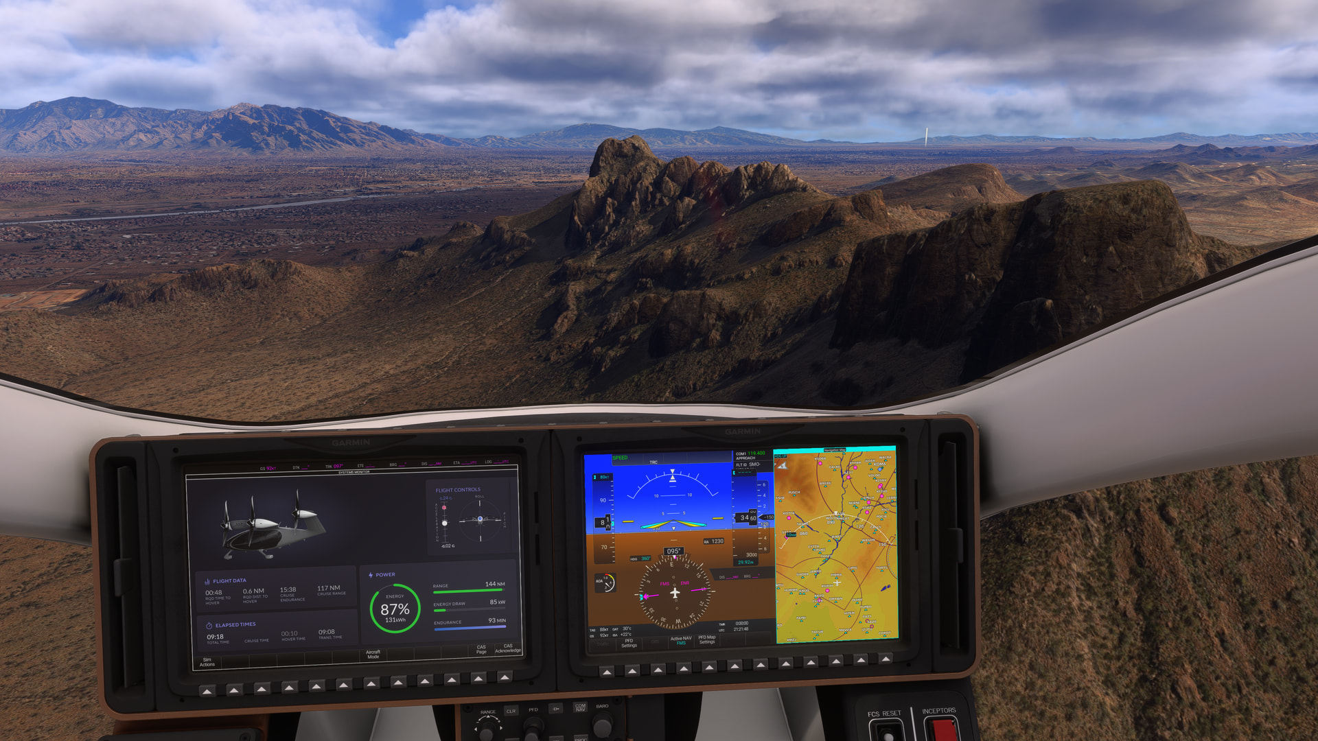
Passing Panther & Stafford peaks on the way to the park:
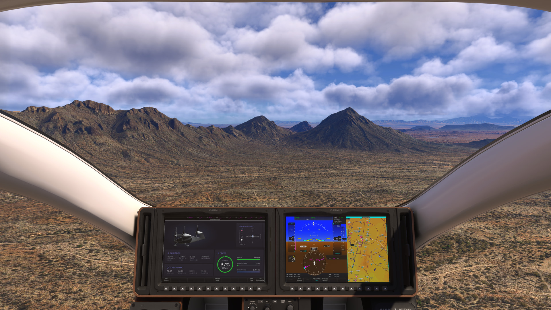
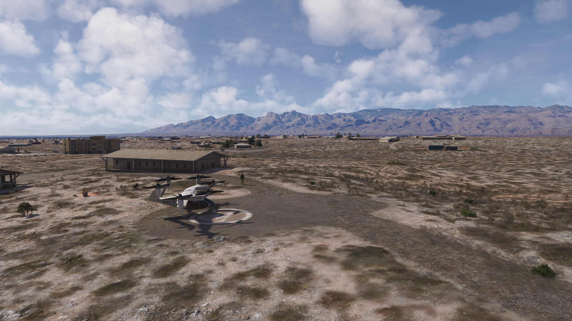
In real life, there are hiking trails from the Signal Hill Parking area on the western edge of the park to various petroglyphs. Obviously none can be seen in the game, but this is a good spot to recharge the Joby’s batteries:

Heading towards the eastern section of the park, we pass the Golden Gate & Bren Mountains:
Once in the park, I follow the ridge and Box Canyon past Tanque Verde Peak up to Helens Dome:
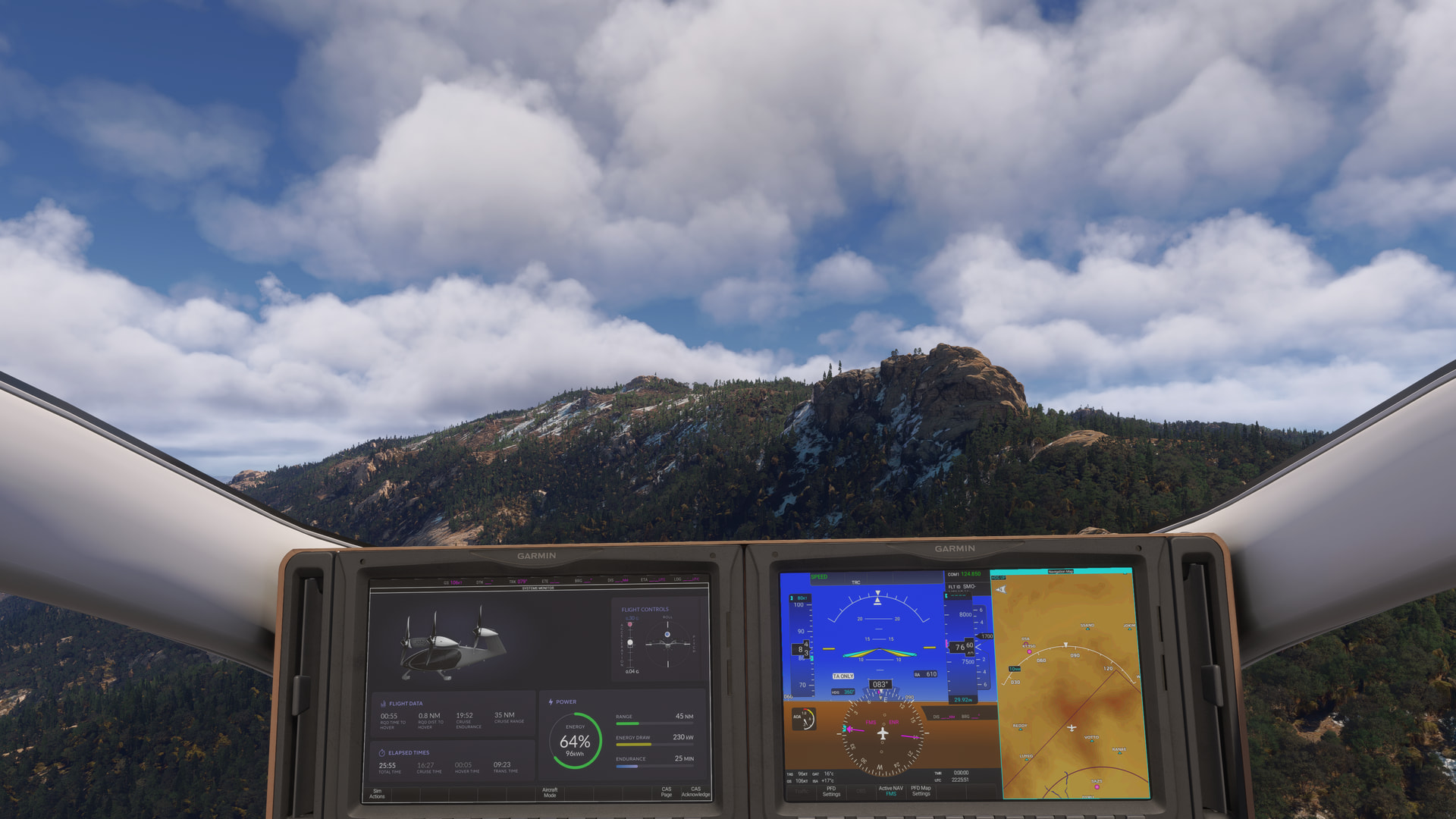
On the other side, I drop down and parked in a small clearing below Duckbill Mountain. In real life this is conifer forest with very little undergrowth:
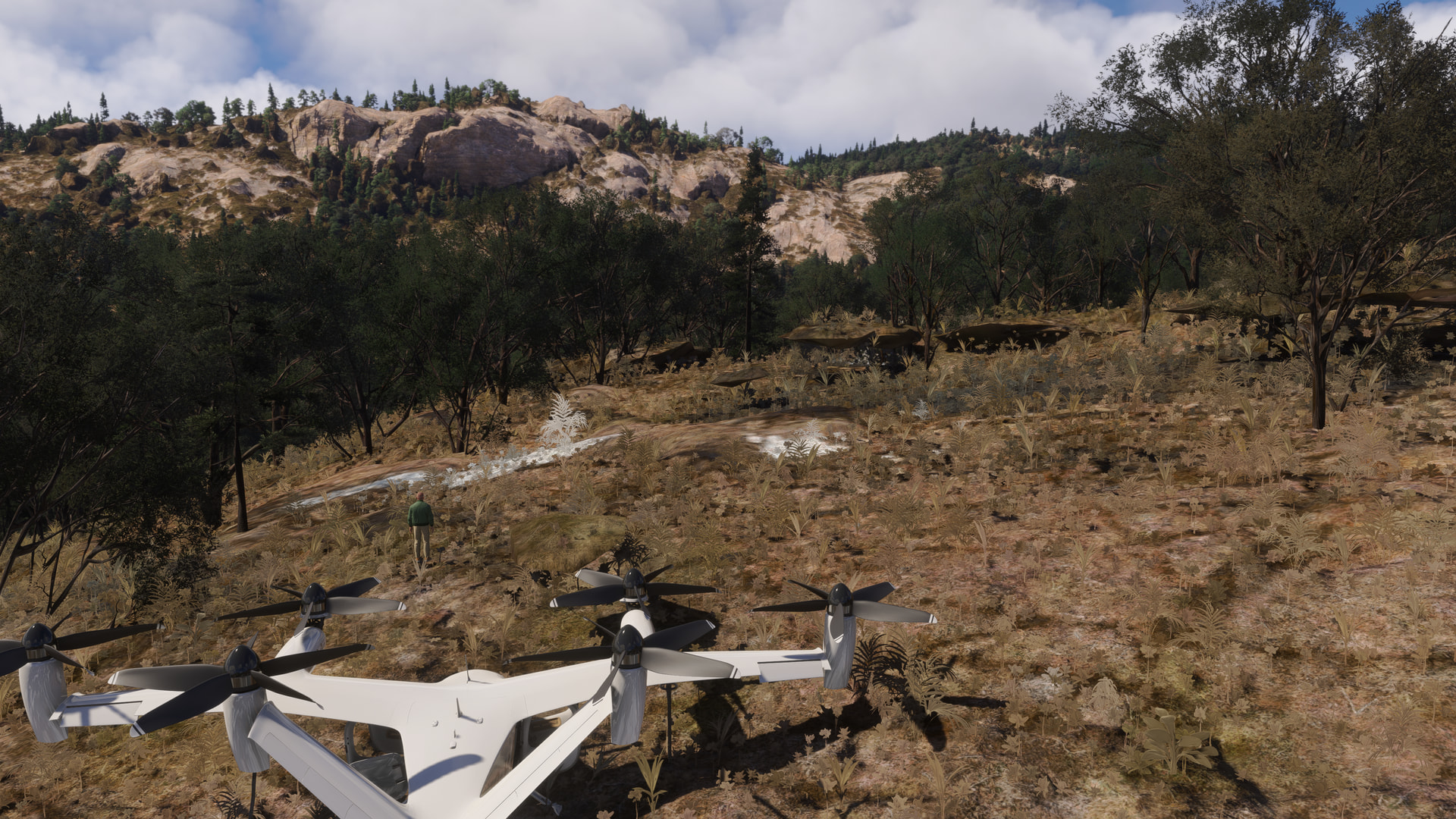
From here, it’s only 8 NM to the top of Rincon Peak:

You can land on the summit and admire the panoramic views of the park and Tucson to the west:
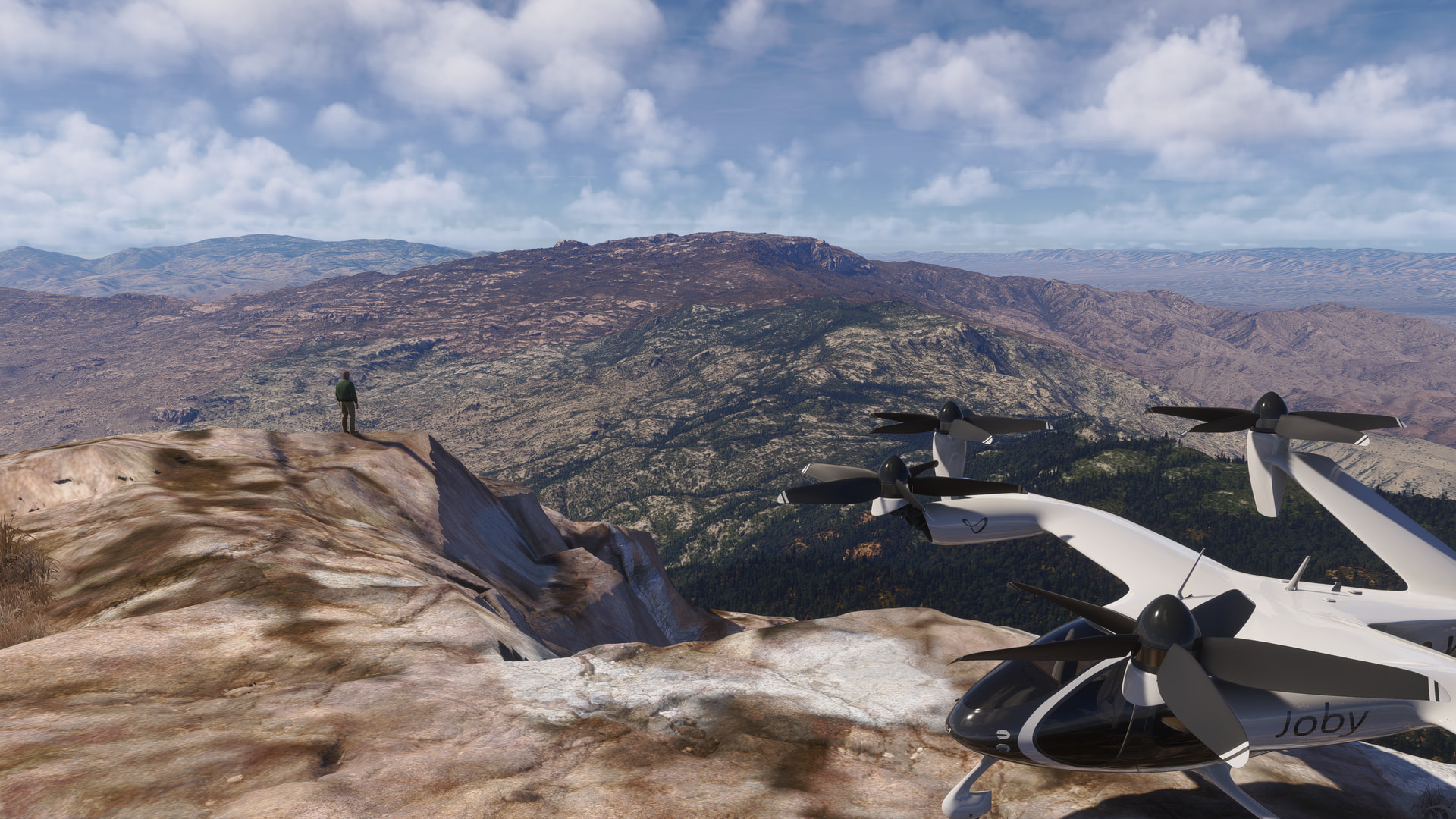
Another 11 NM east is the Javelina Picnic Area & trailhead:
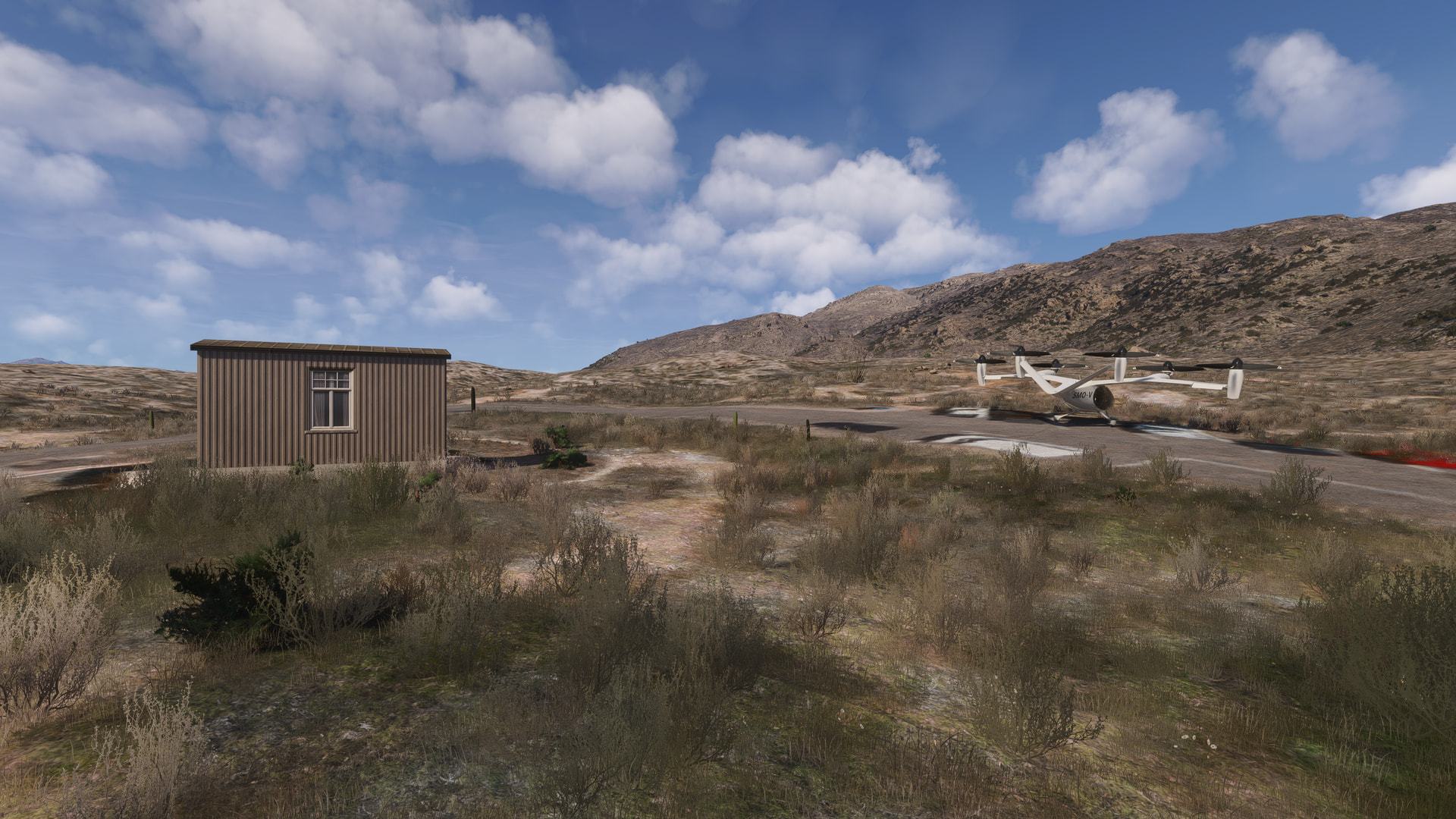
Then its a short 2-minute hop to the helipads at Saguaro Monument Estates.
Unfortunately, there are few Saguaro cacti displayed in this park (I actually saw more down in the desert areas outside the park boundaries). Based on the pictures on the National Park website, in real life the park is full of these cacti, and the vegetation at the lower elevations is far more prolific, green and verdant than the representation in this WU. 
[MSFS 2024 SU6 Beta v1.8.8.0, live weather, BijanStudio Seasons Enhanced 2024 v4.5.0]


Random airline ops
point Salines international (TGPY) to Boa Vista international (SBBV) to Santarem (SBSN) in the carenado DO228 100
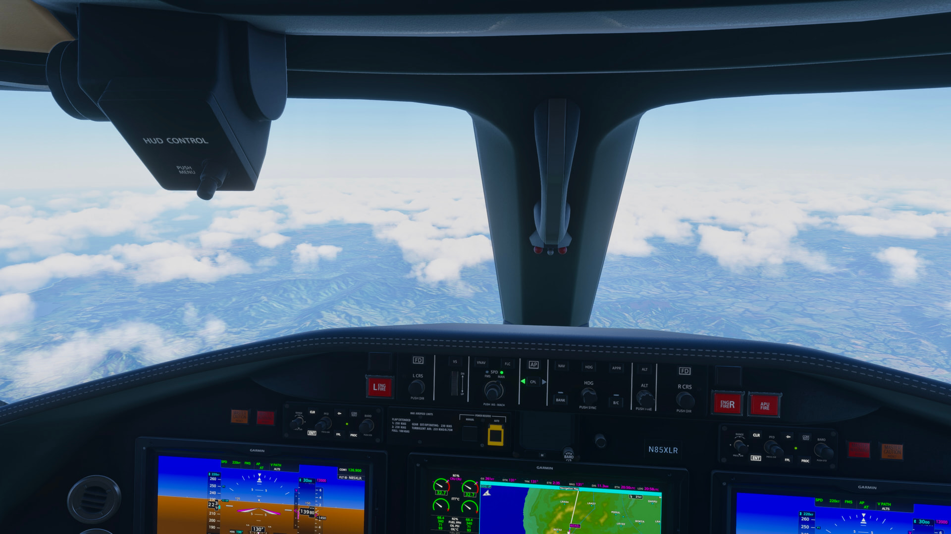
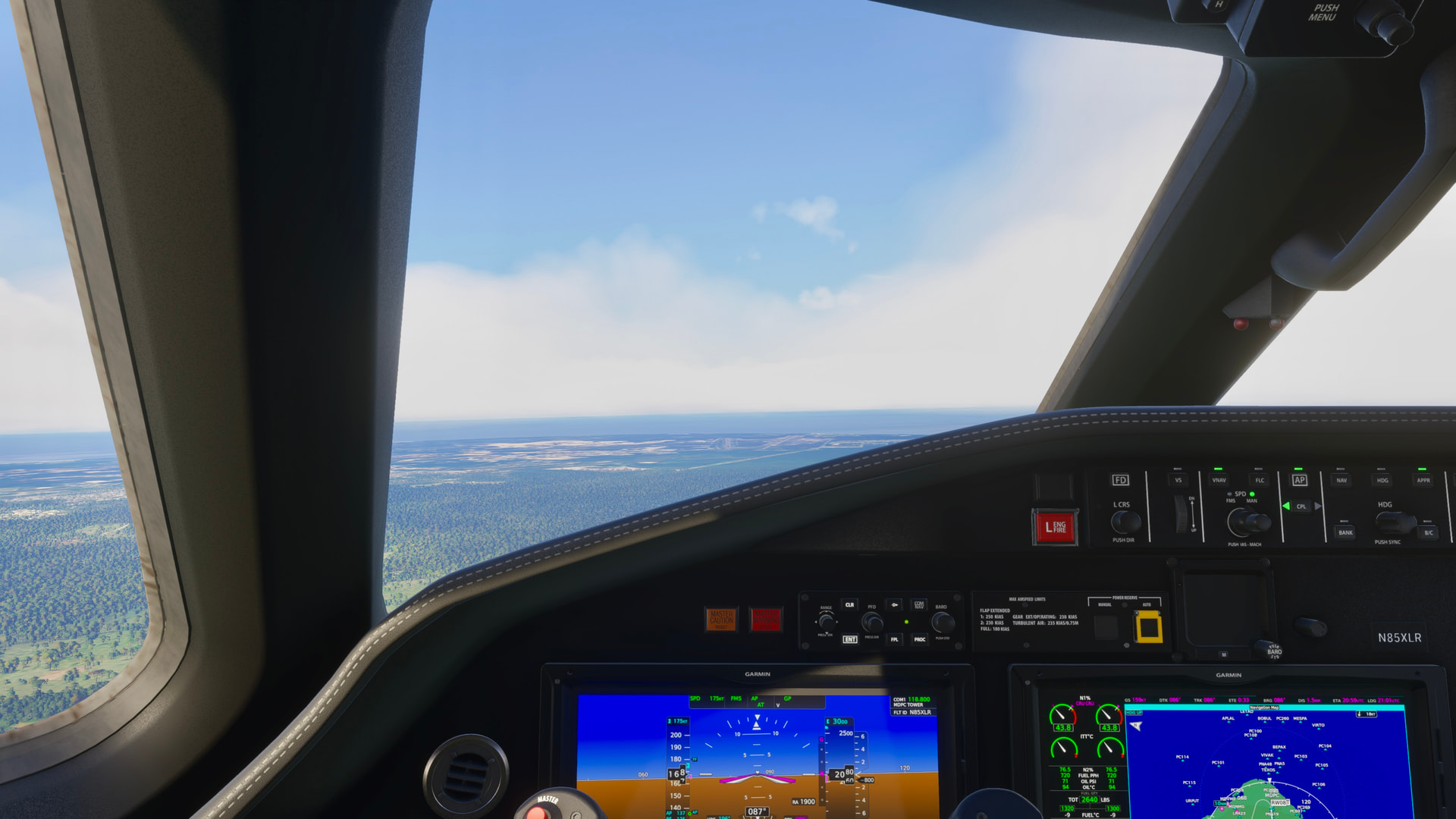
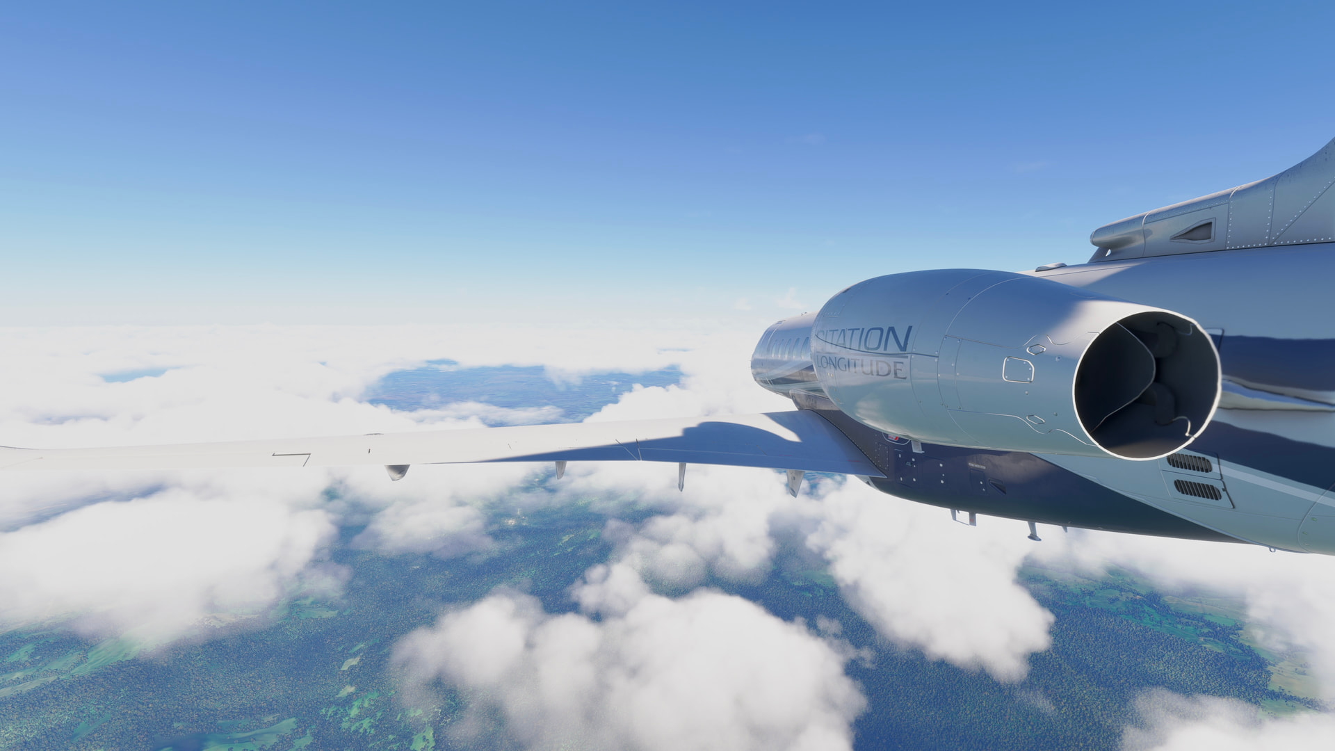
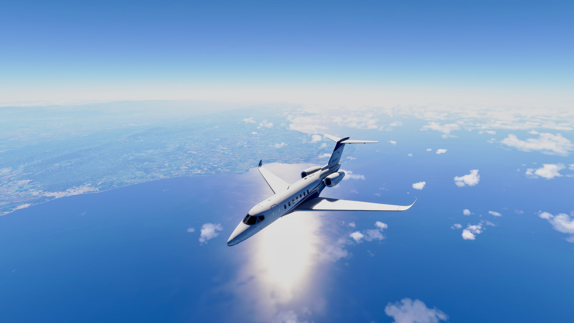
Doing a fun flight tonight in the Longitude, I just took off from KSNA flying to MPDC. I just got back from a vacation in Punta Cana, and thought it would be fun to fly into the airport, so I’m also taking the opportunity to fly the Longitude long-range.
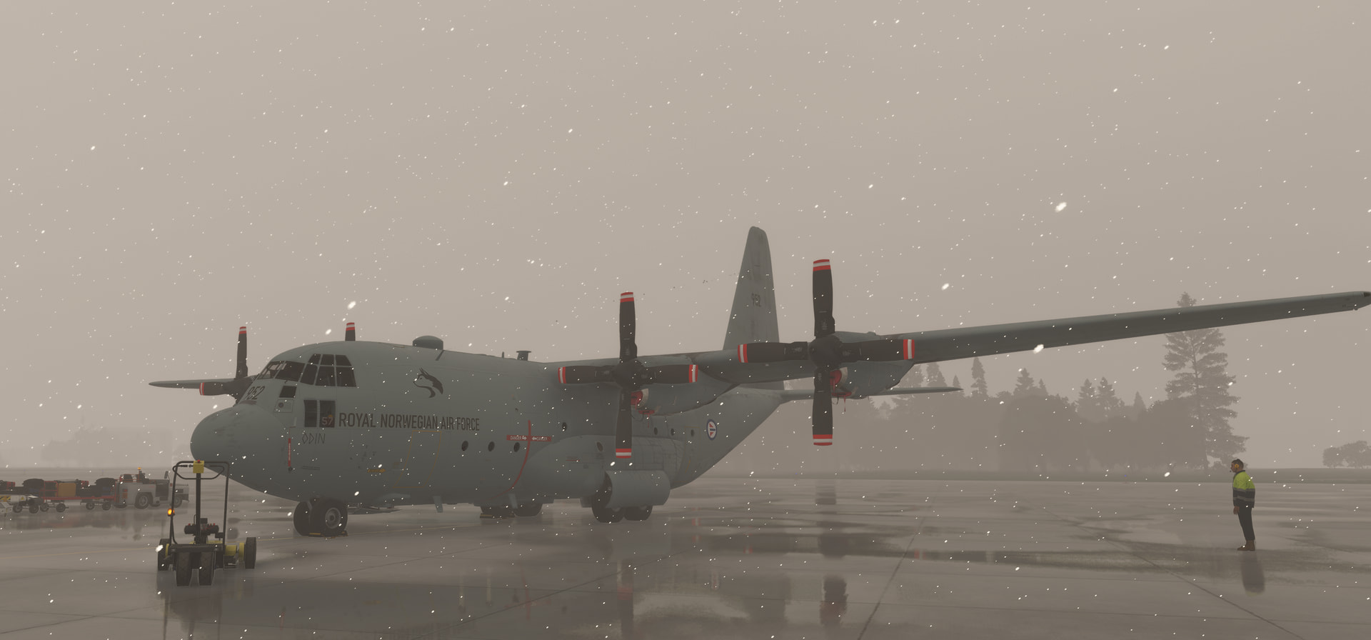
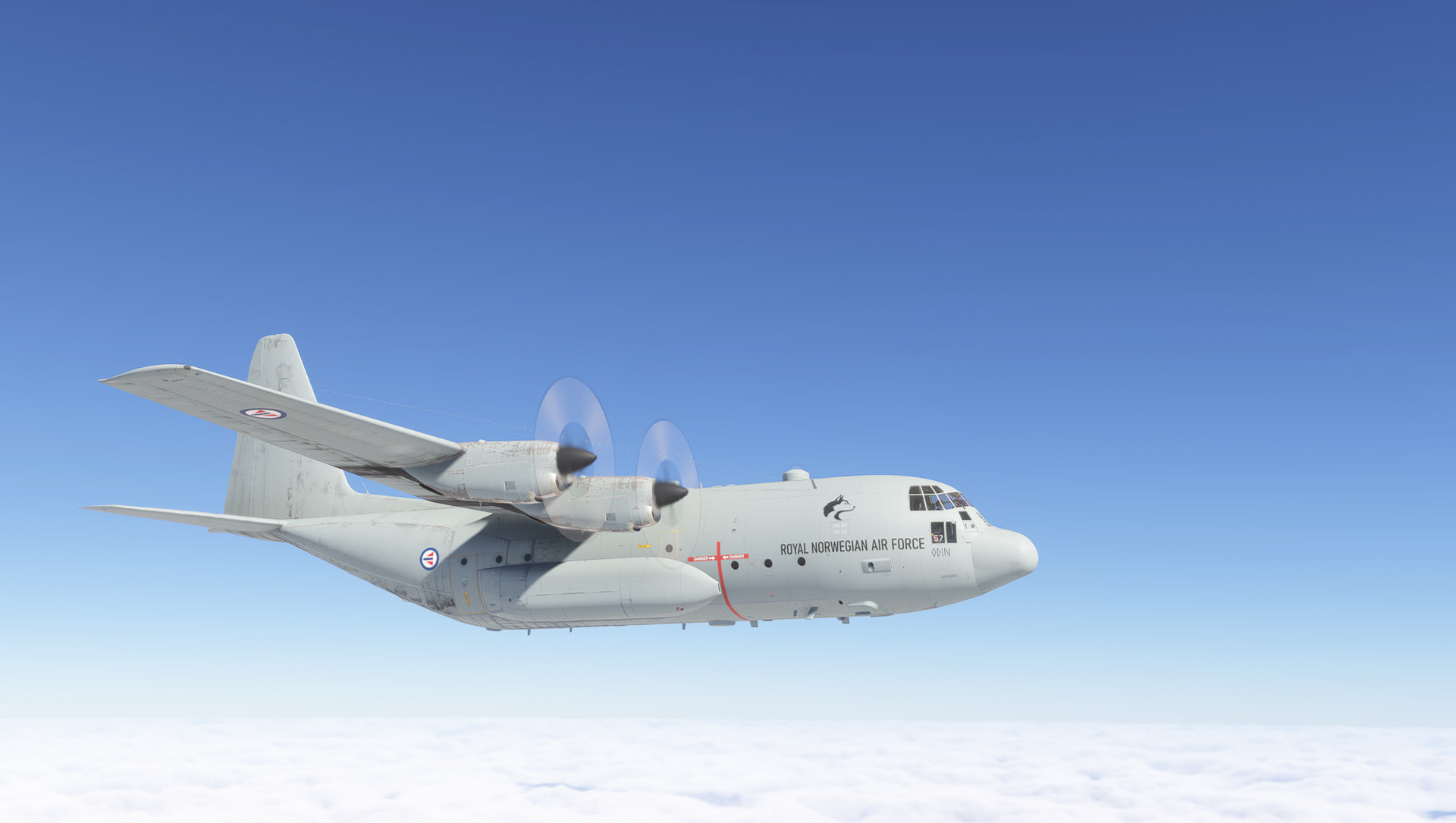


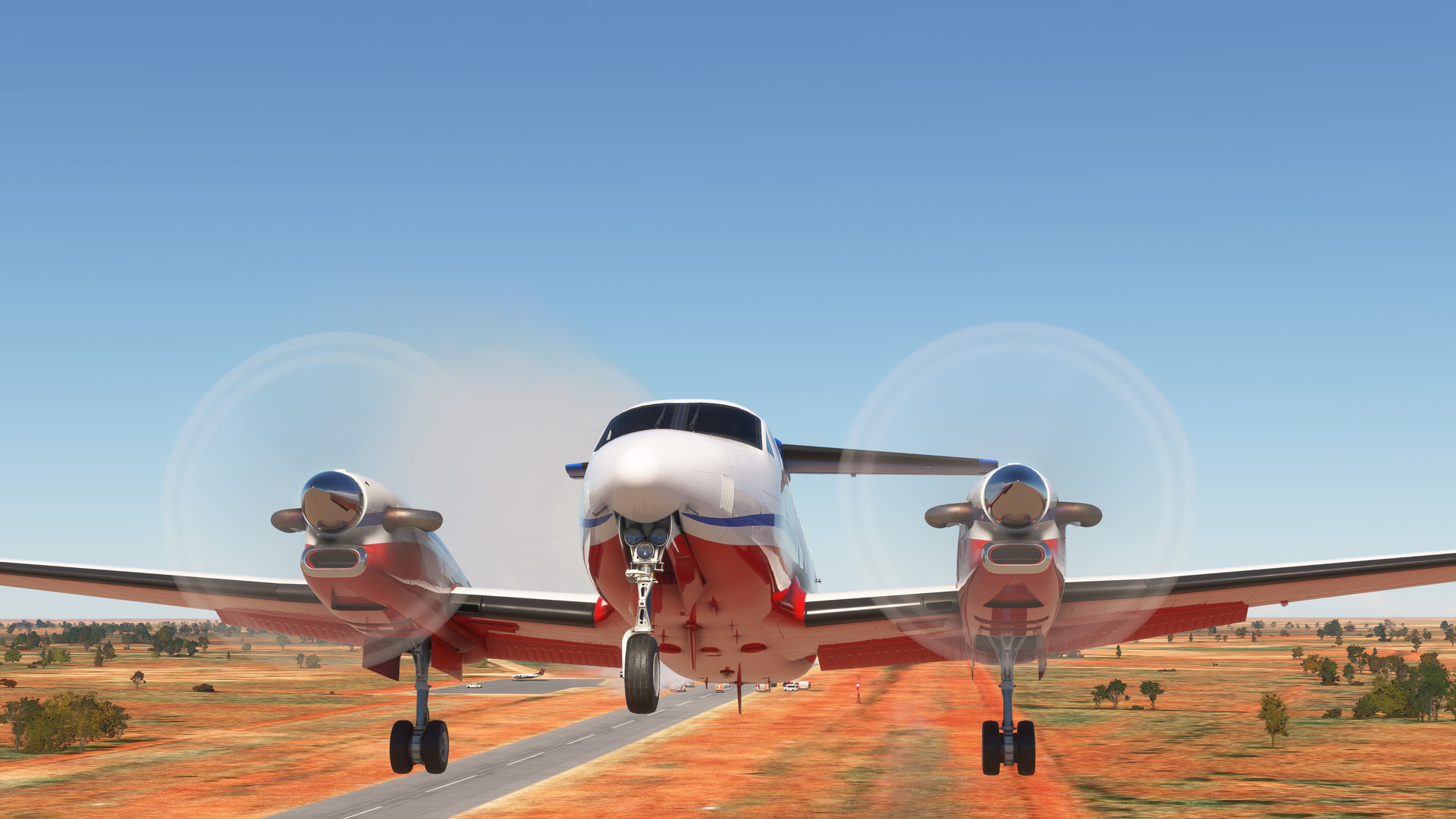
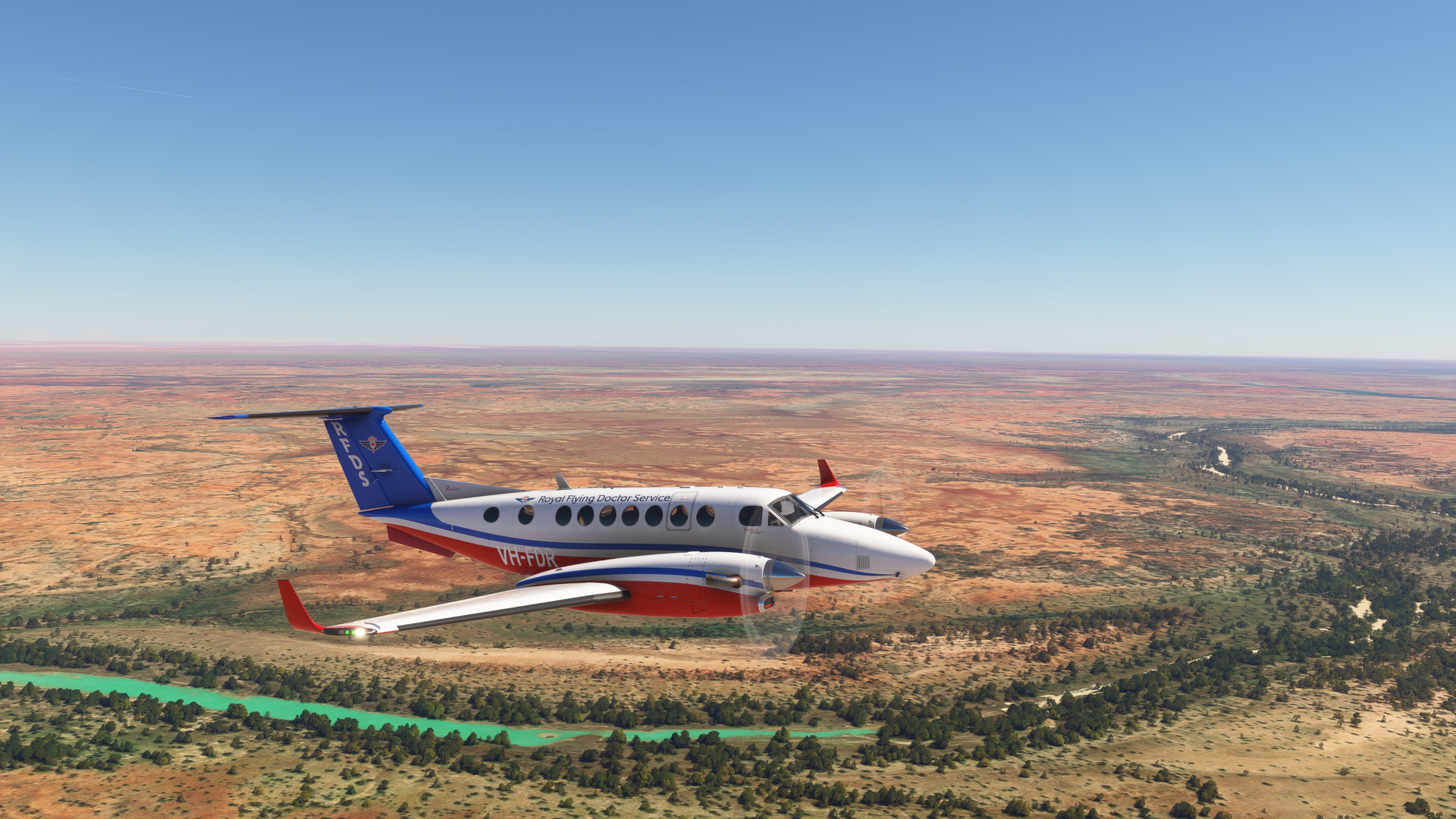
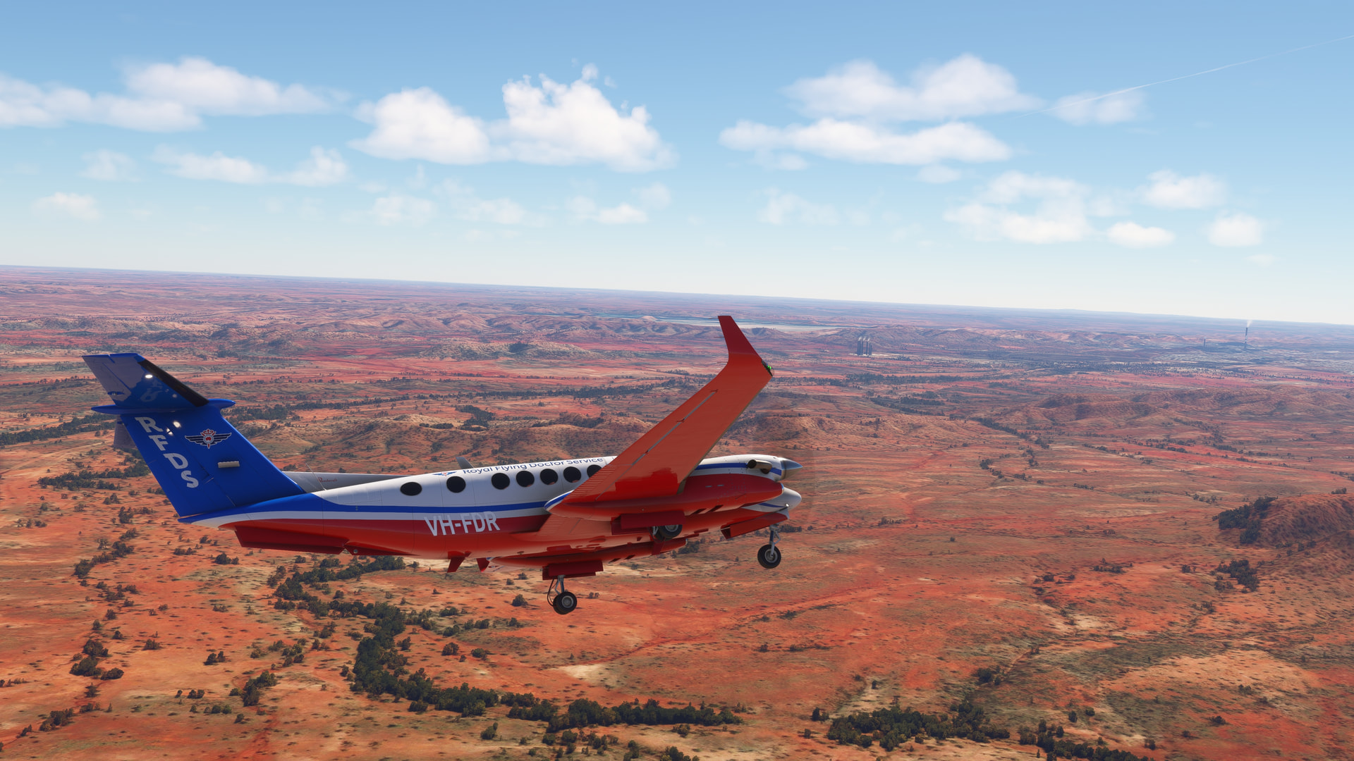
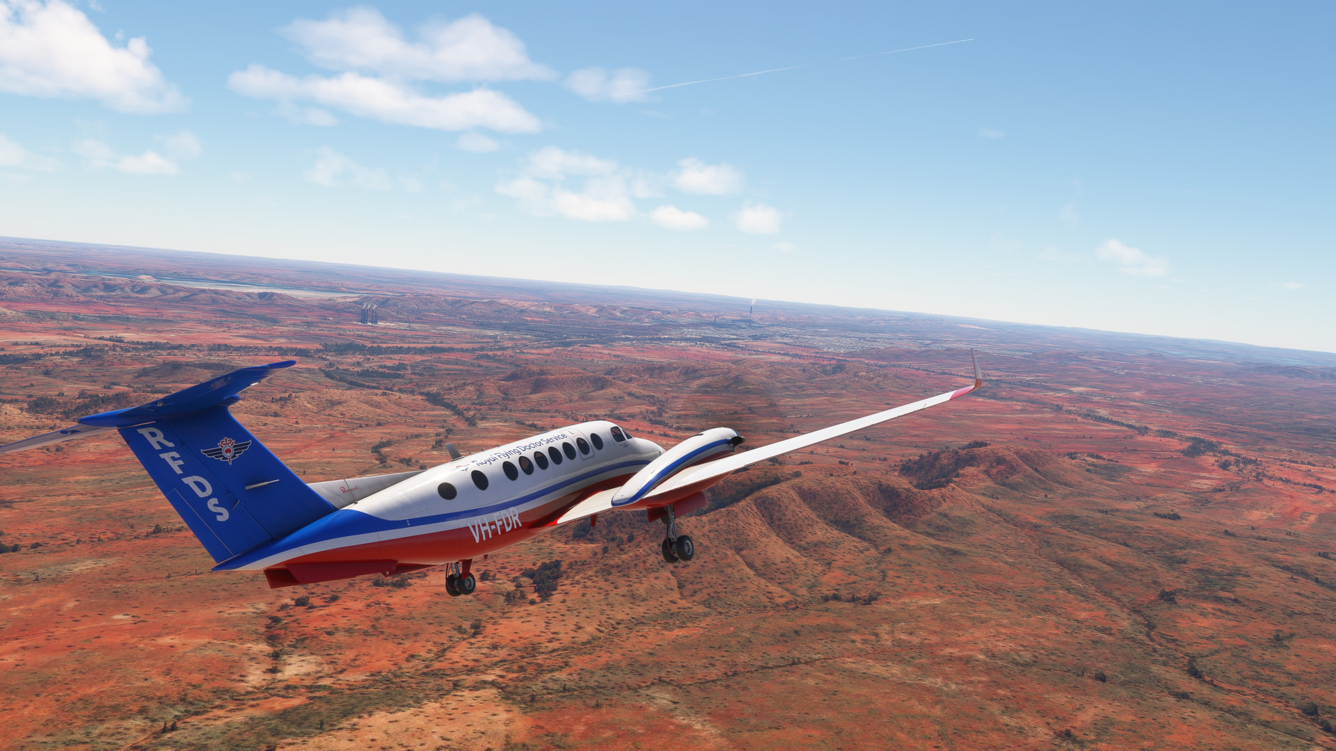
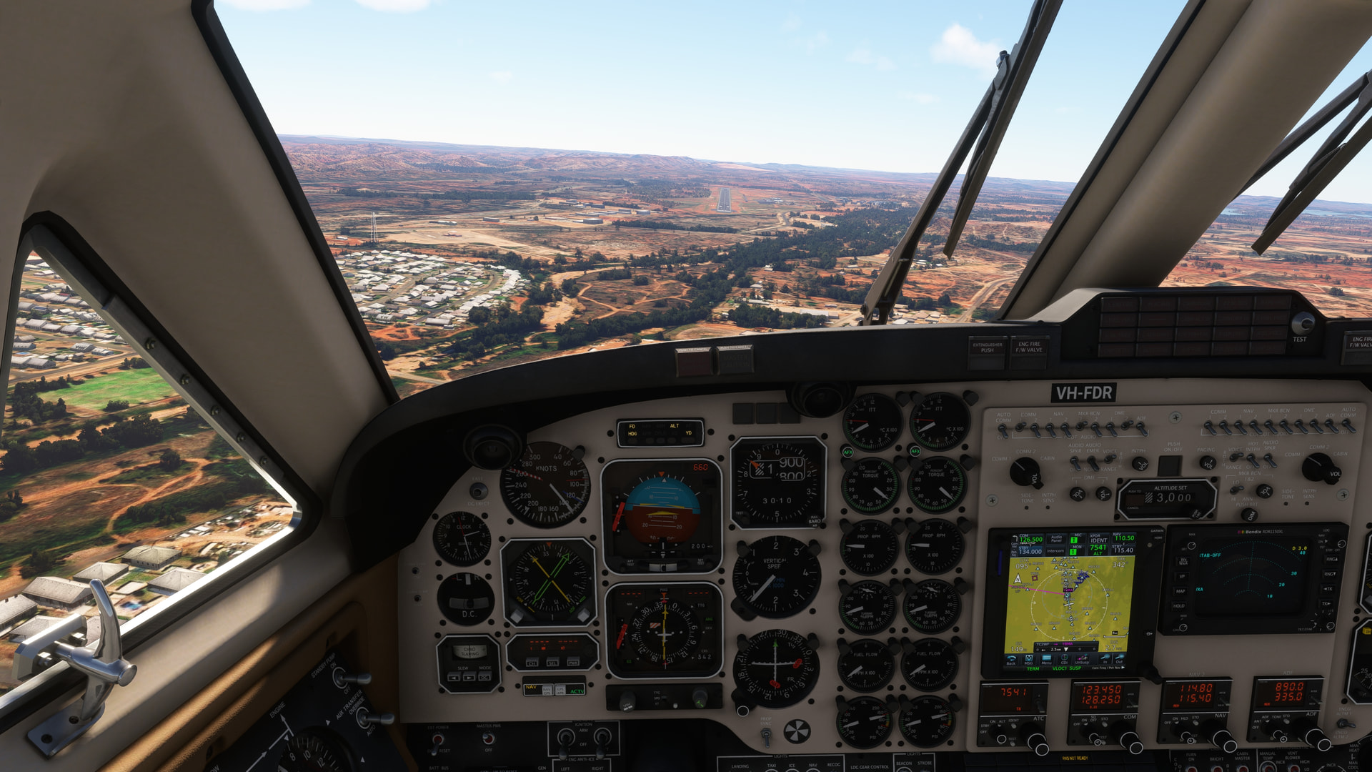
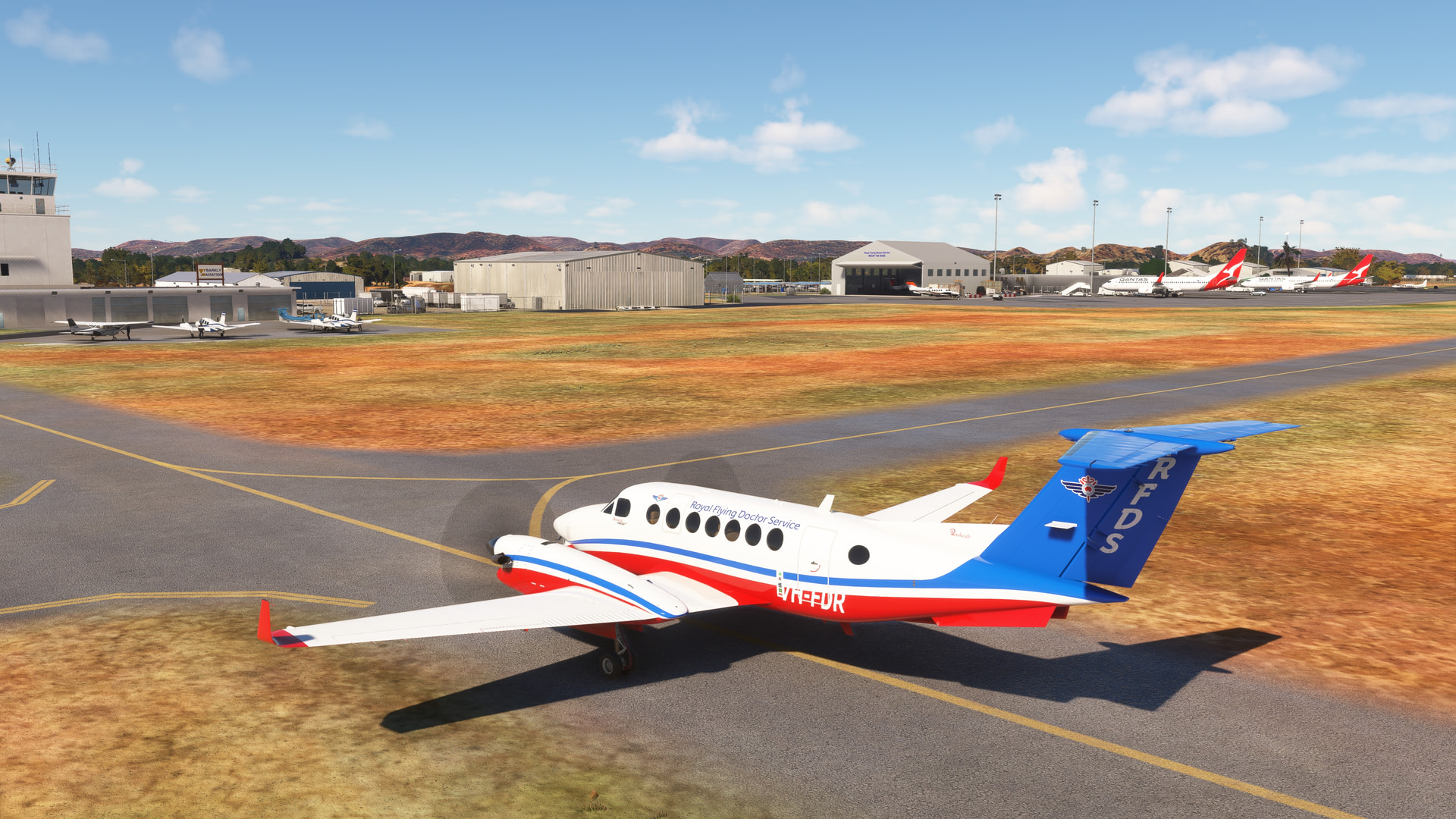
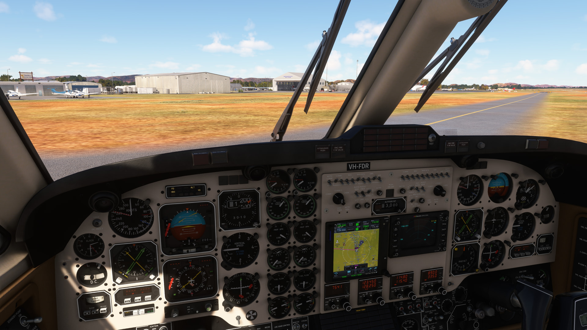
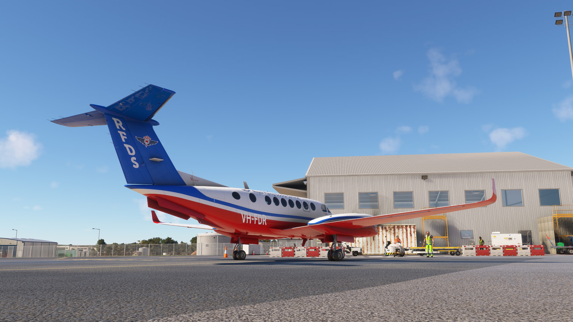
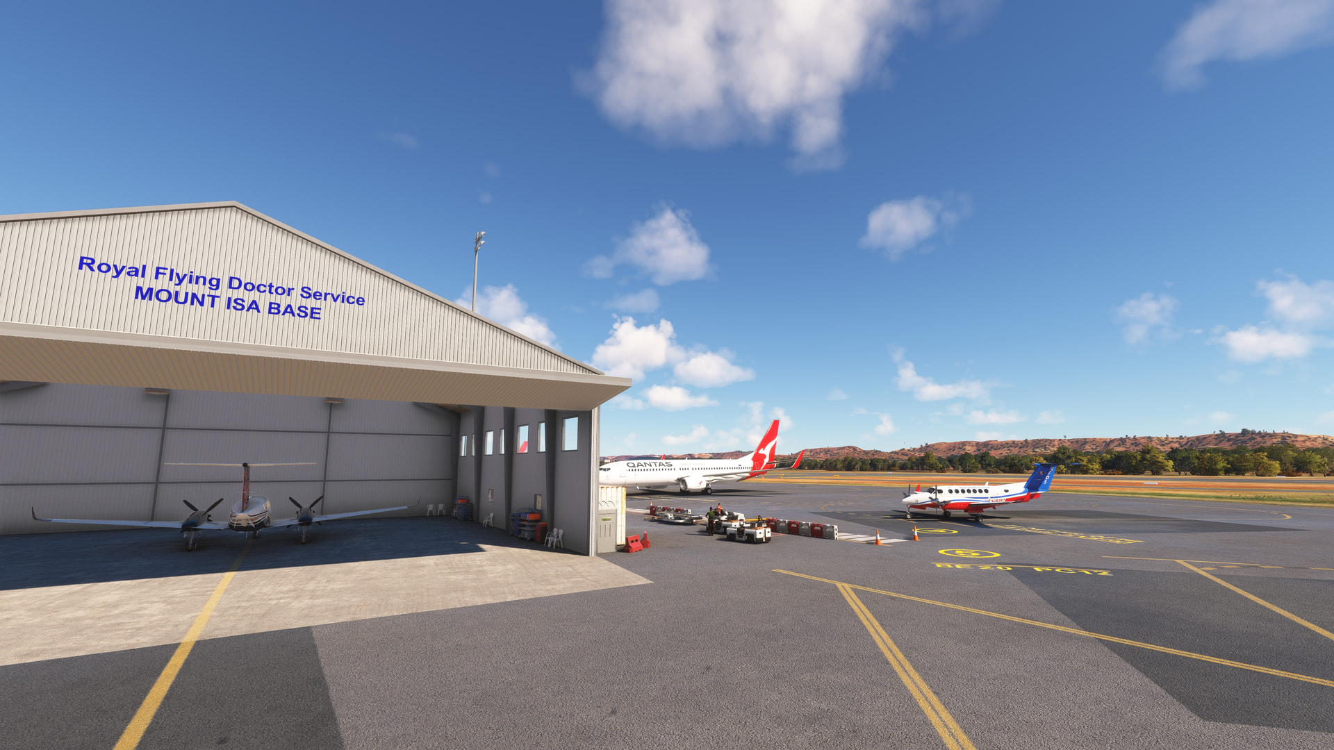
2020, Final leg of Darwin to Mount Isa flight. Patient picked up at Alyuen and we headed to Mount Isa.
This flight let me put all I’ve learned about the Black Square King Air to work. Though still in 2020, the Aussie scenery, default and 3rd party, were immersive. Even Say Intentions kept my flight plan going, through all three legs, giving me that feeling we all knew one another. Austrahlia, Austrahlia, Austrahlia, We love ya! Cheers!

A flight over Canyon de Chelly National Monument (WU22).
Chinle is the logical choice as a starting point for this flight, since it is only a few miles from the park entrance:
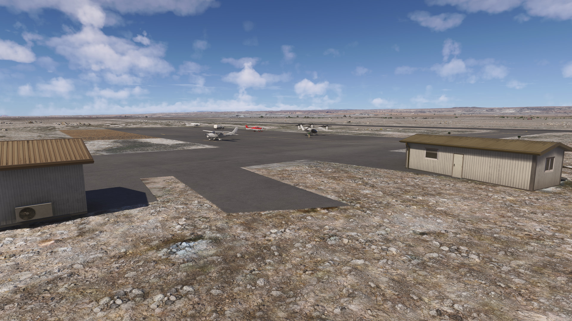
Junction Overlook:
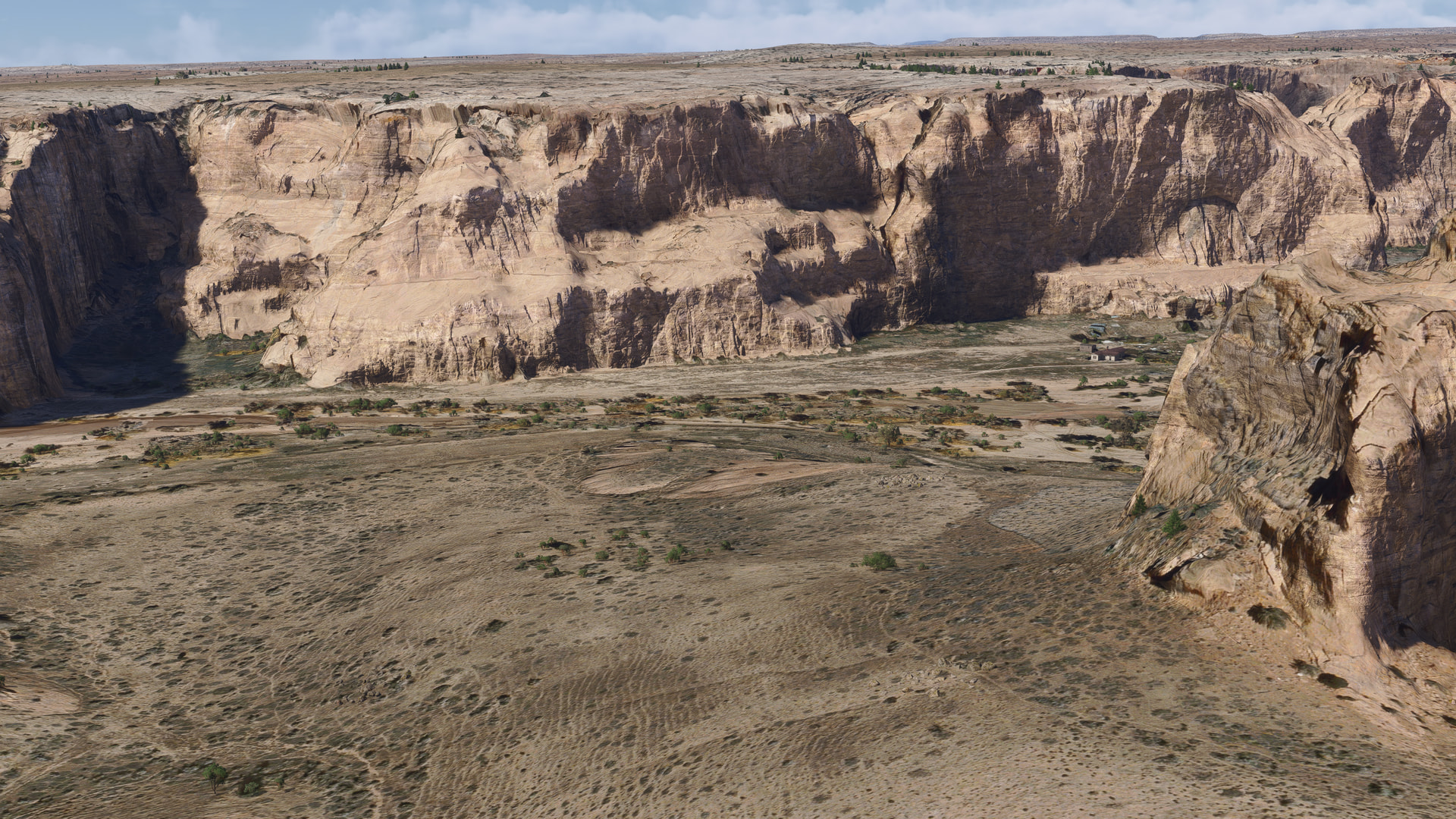
The colors of the rockfaces in the canyon are washed out compared to the rich oranges and reds in real life. The vegetation is much more vibrant in real-life too, with bright greens contrasting with the colors of the rock walls
Spider Rock Overlook (you can land on the top if you are daring!)
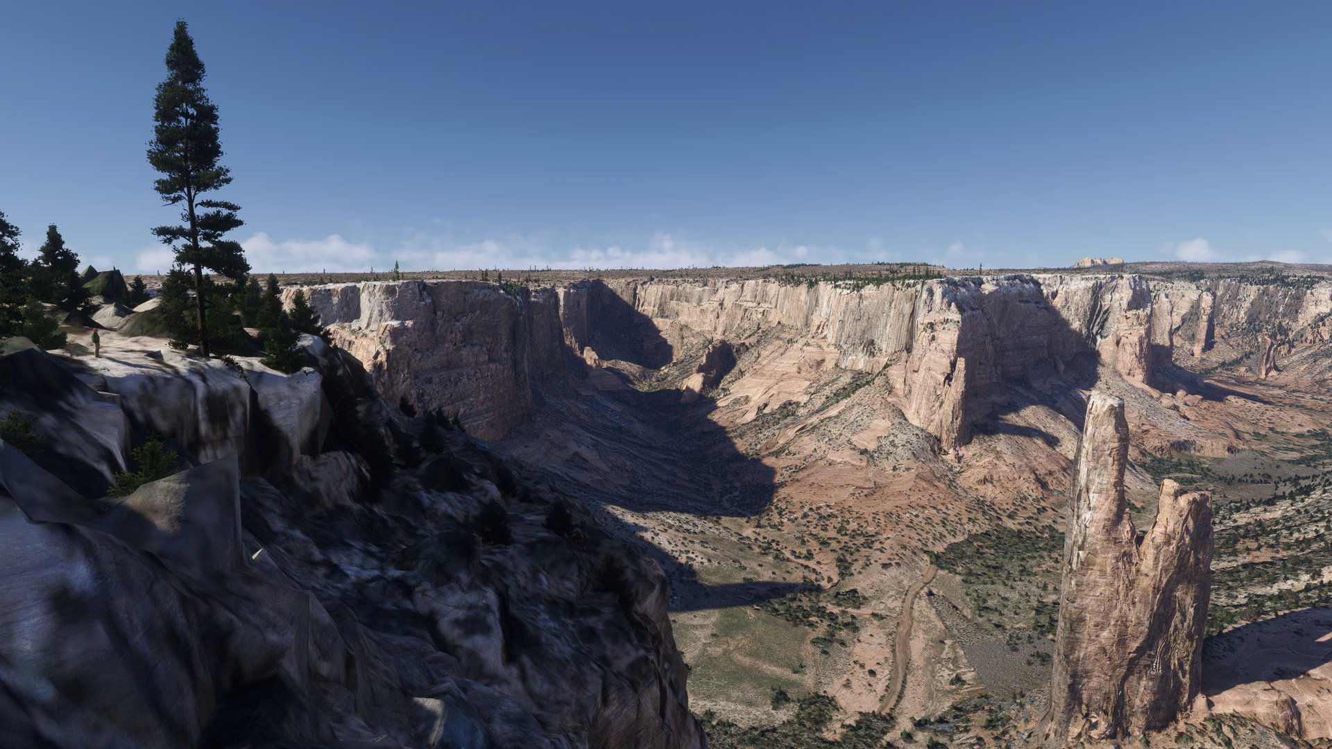
En-route to Sonseat Buttes:

The upper reaches of the south branch of the canyon
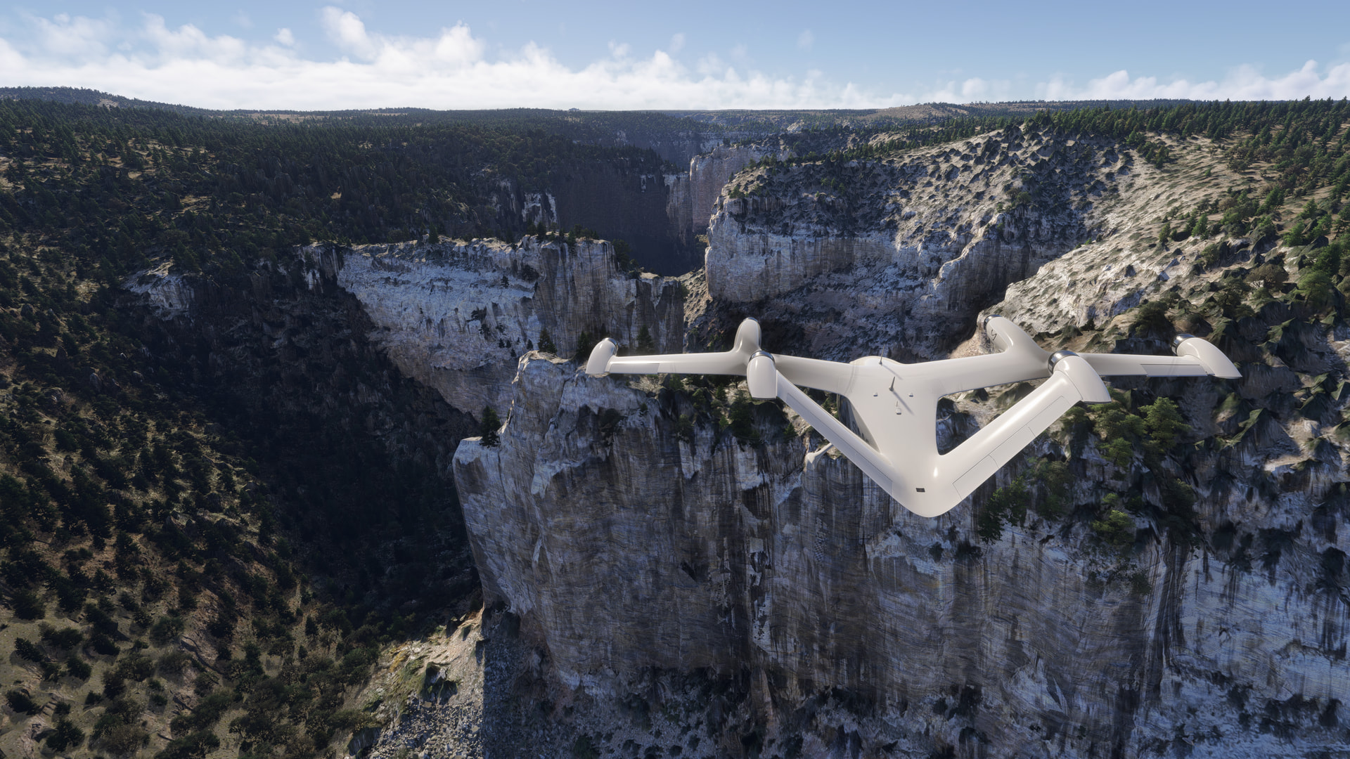
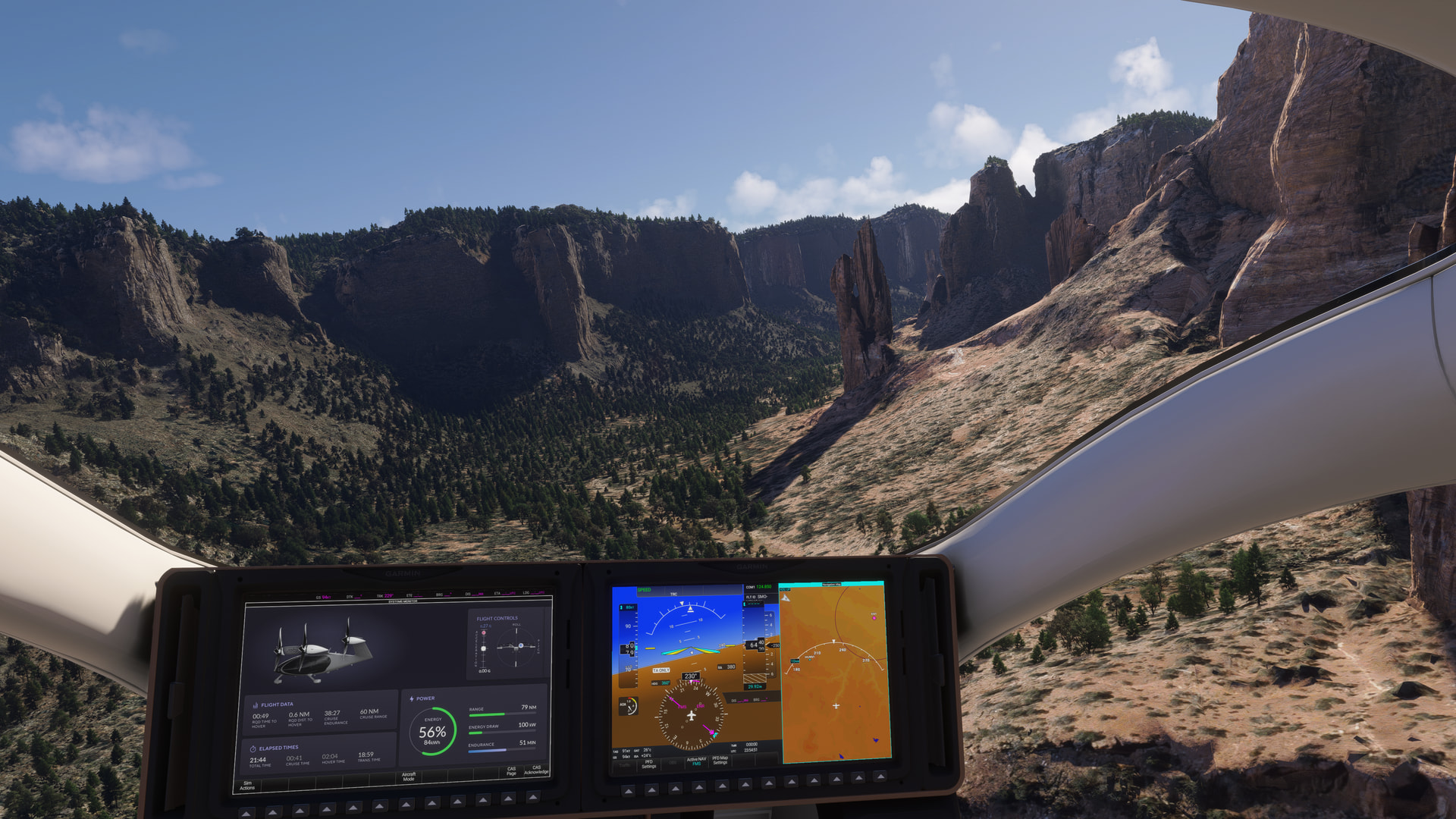
Alta Deeza:

Tsaile Lake:
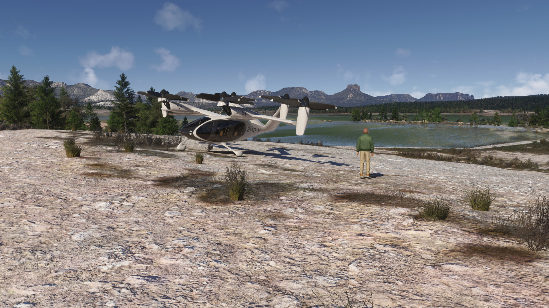
Heading back to the visitor center:
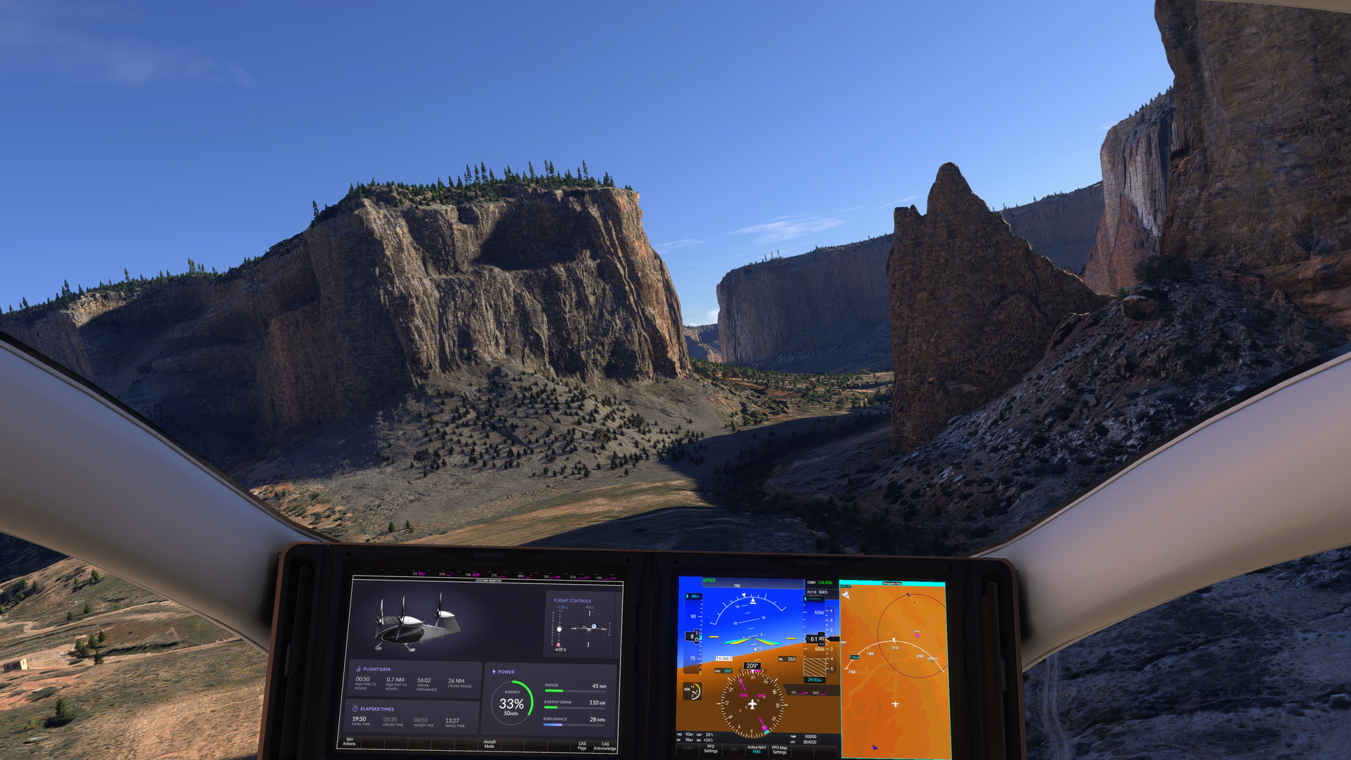
Navajo Fortress. The greyish tinge to the ground and rock faces is present in many places in the canyon:
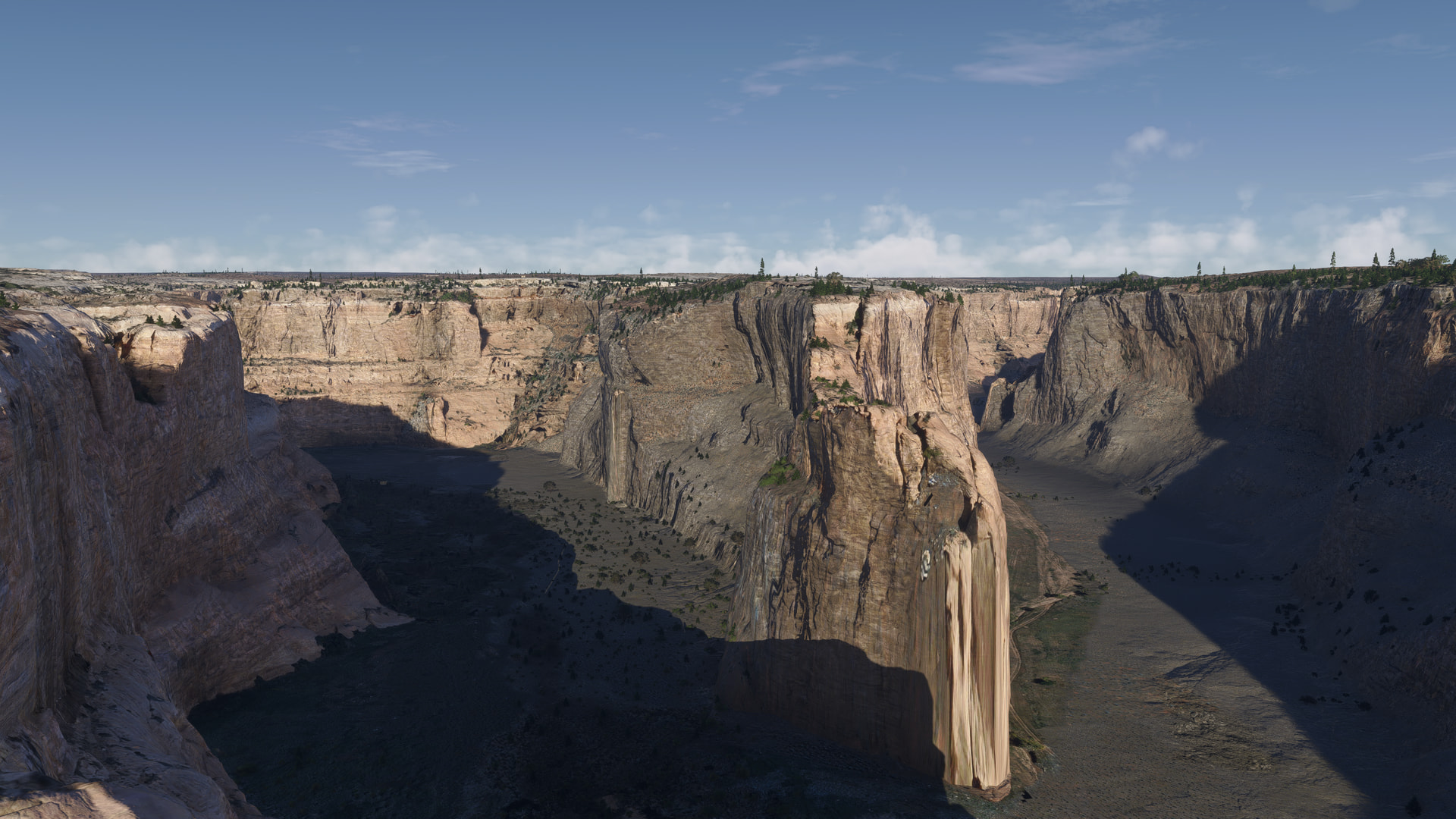
[MSFS 2024, live weather]
Random airline ops
santarem (SBSN) to Santos Dumont (SBRJ) in the carenado DO228

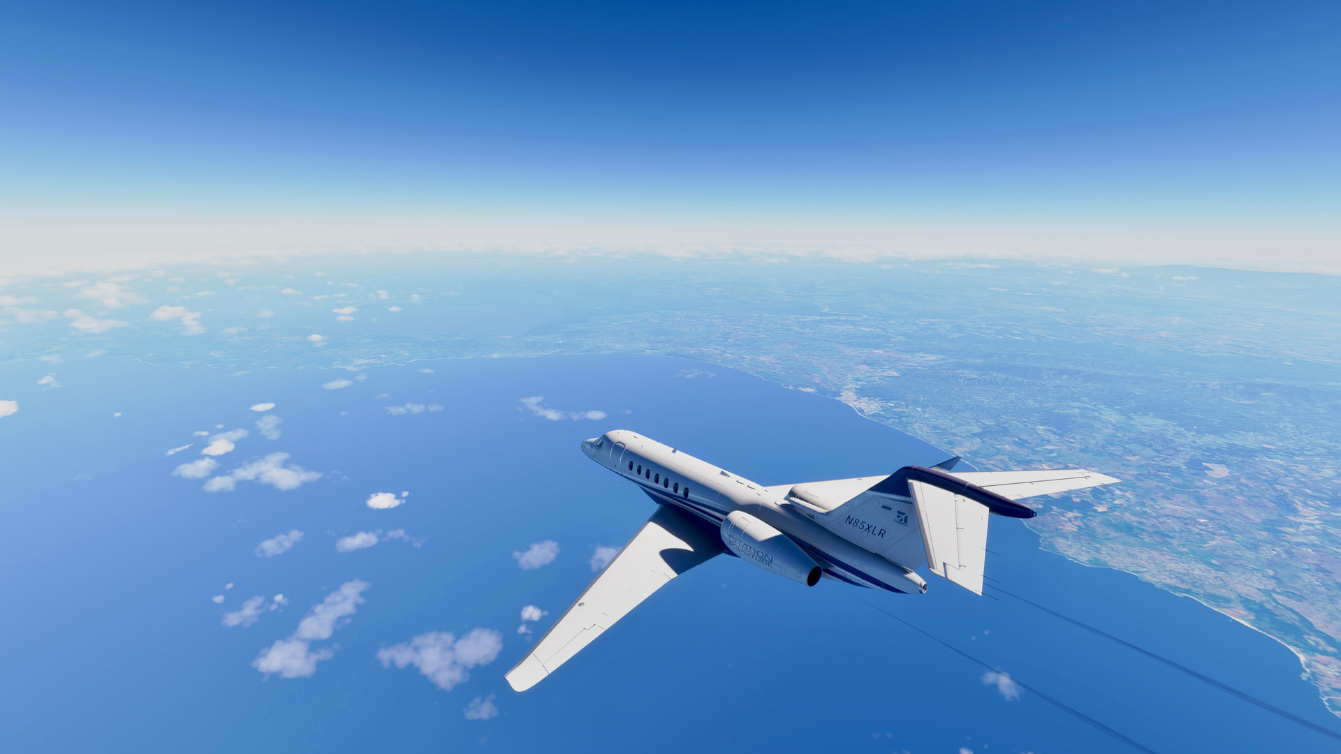


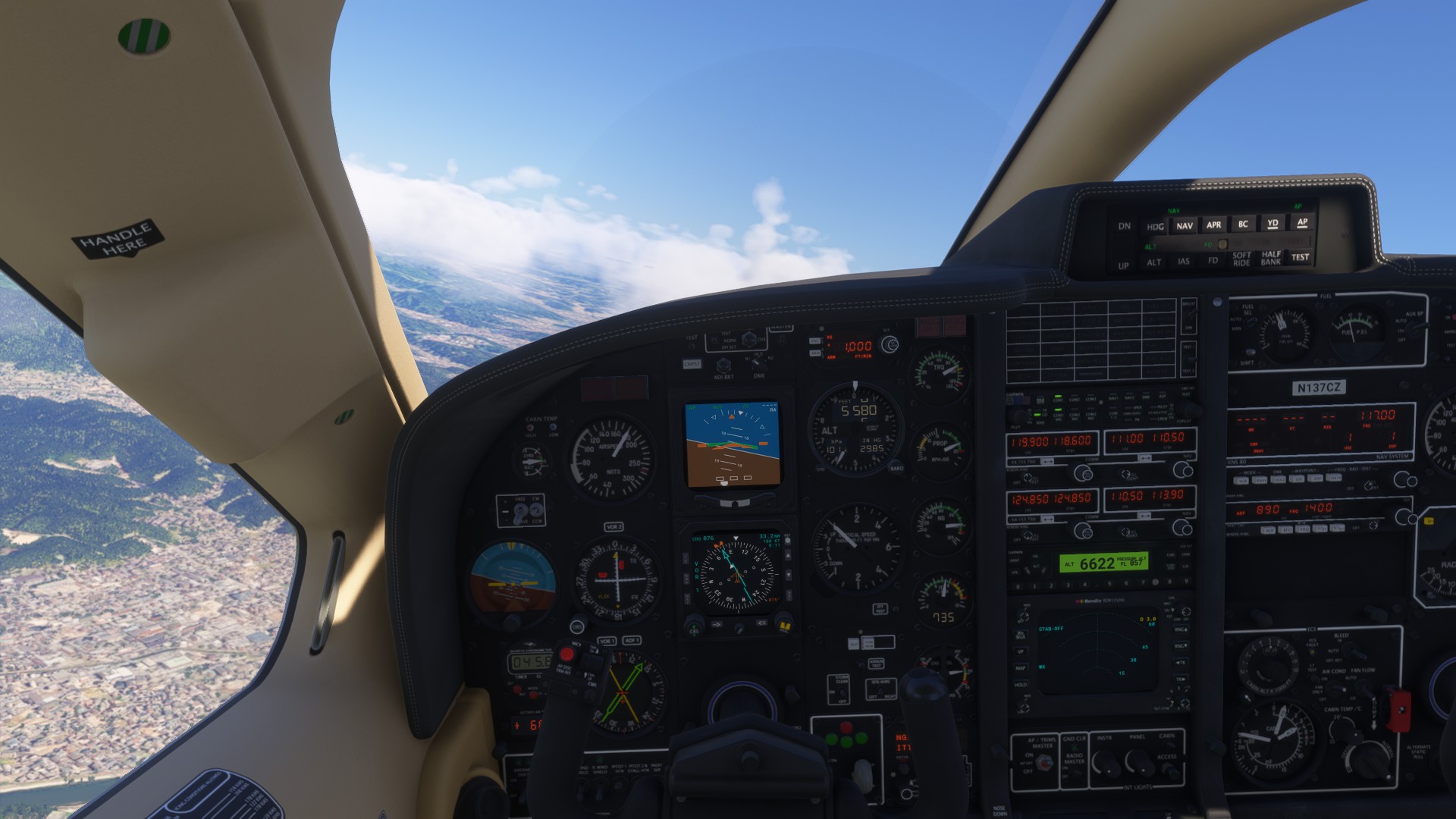
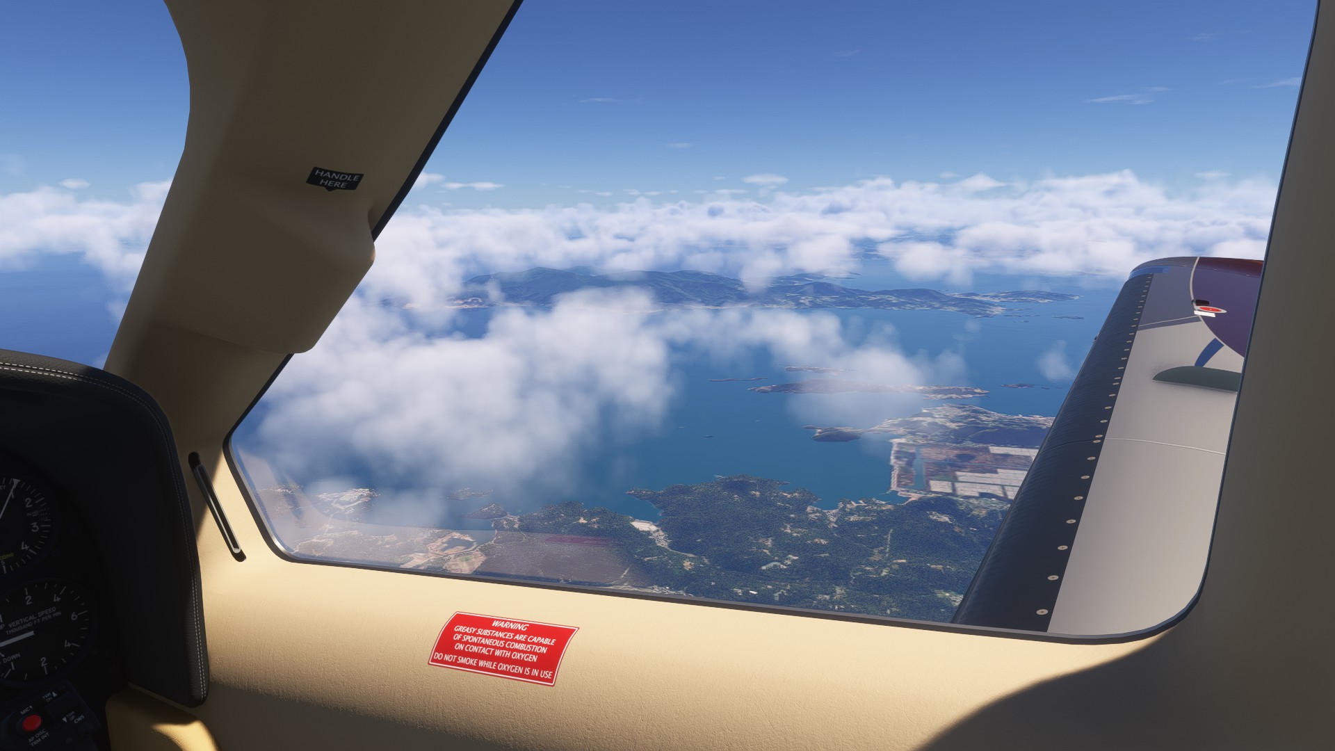
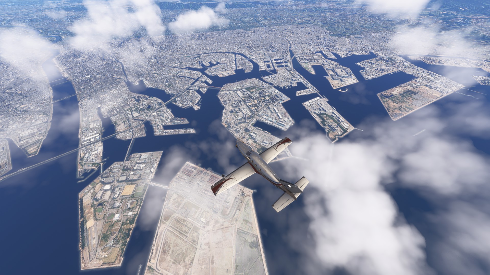
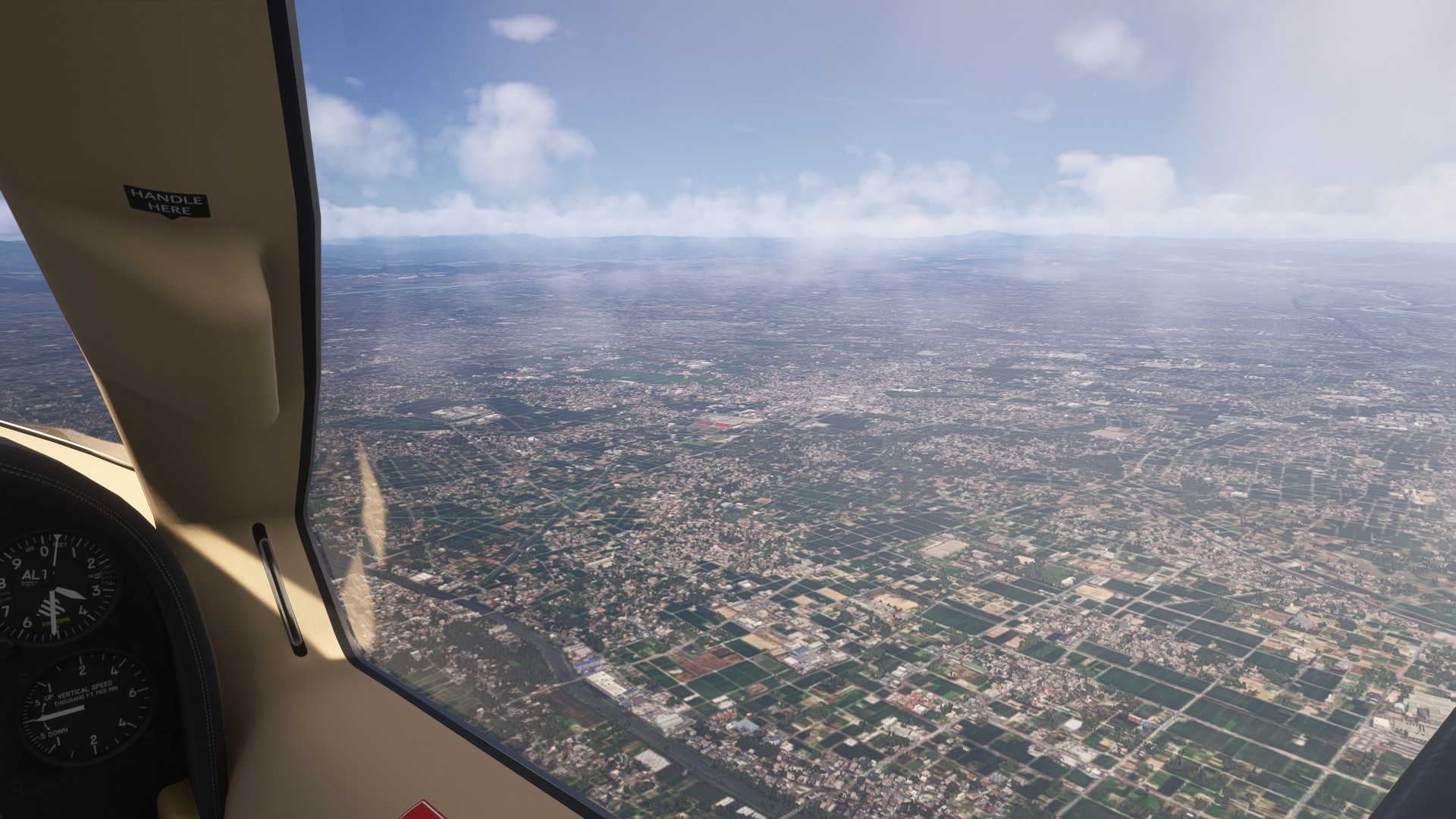
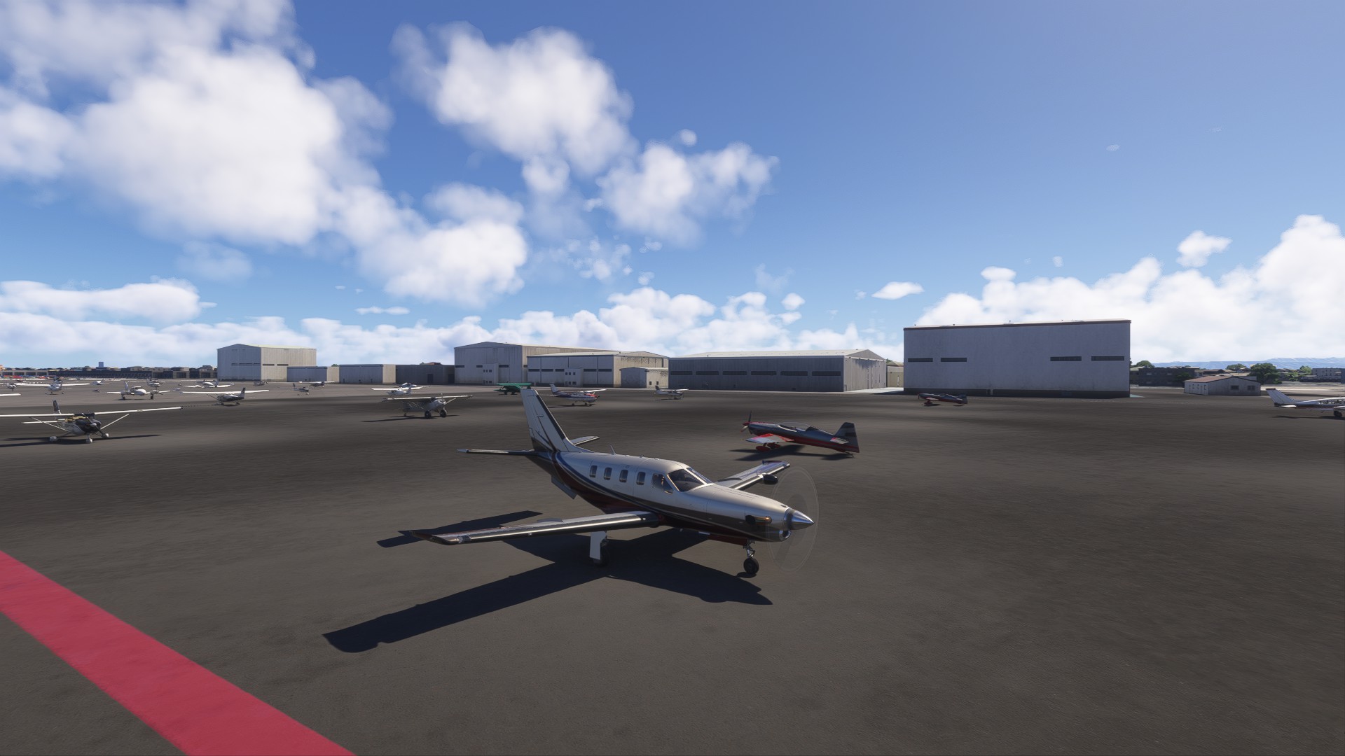
USA tour leg today… Washington/baltimore to Cincinnati.
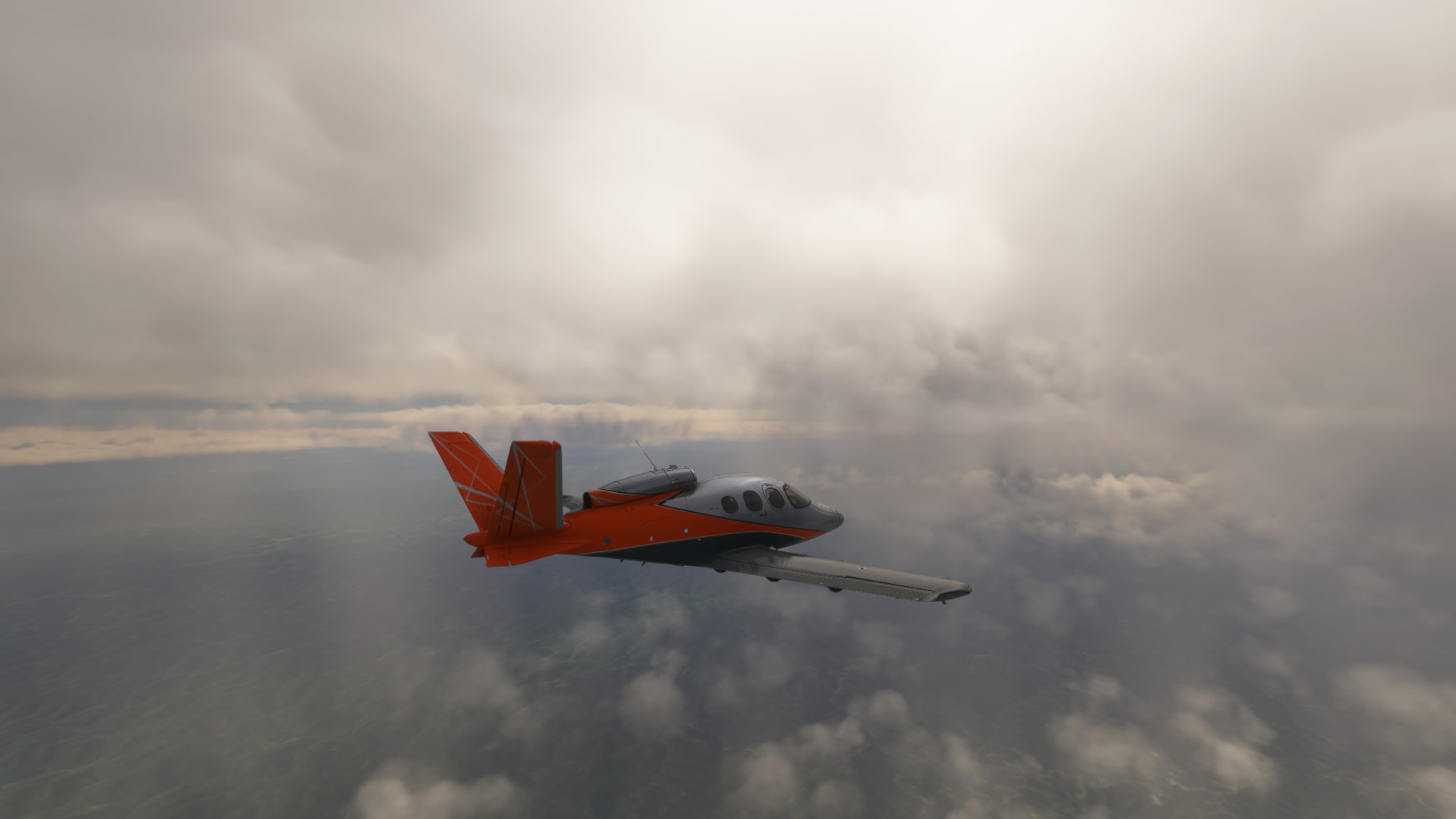
Weather was poor for majority, cloud ceiling above or at my max altitude in the Vision so sat between the cloud bases at 21000, 3 times went through some rough cloud at -10, had no icing but had engine/wing and screen deice on just incase!
Just wondering if you would have done the same in the sim?- sat between the layers? And no doubt the procedure would have been different irl.

Random airline ops
Santos Dumount (SBRJ) to Astor Piazzolla international airport (SAZM in the carenado DO228
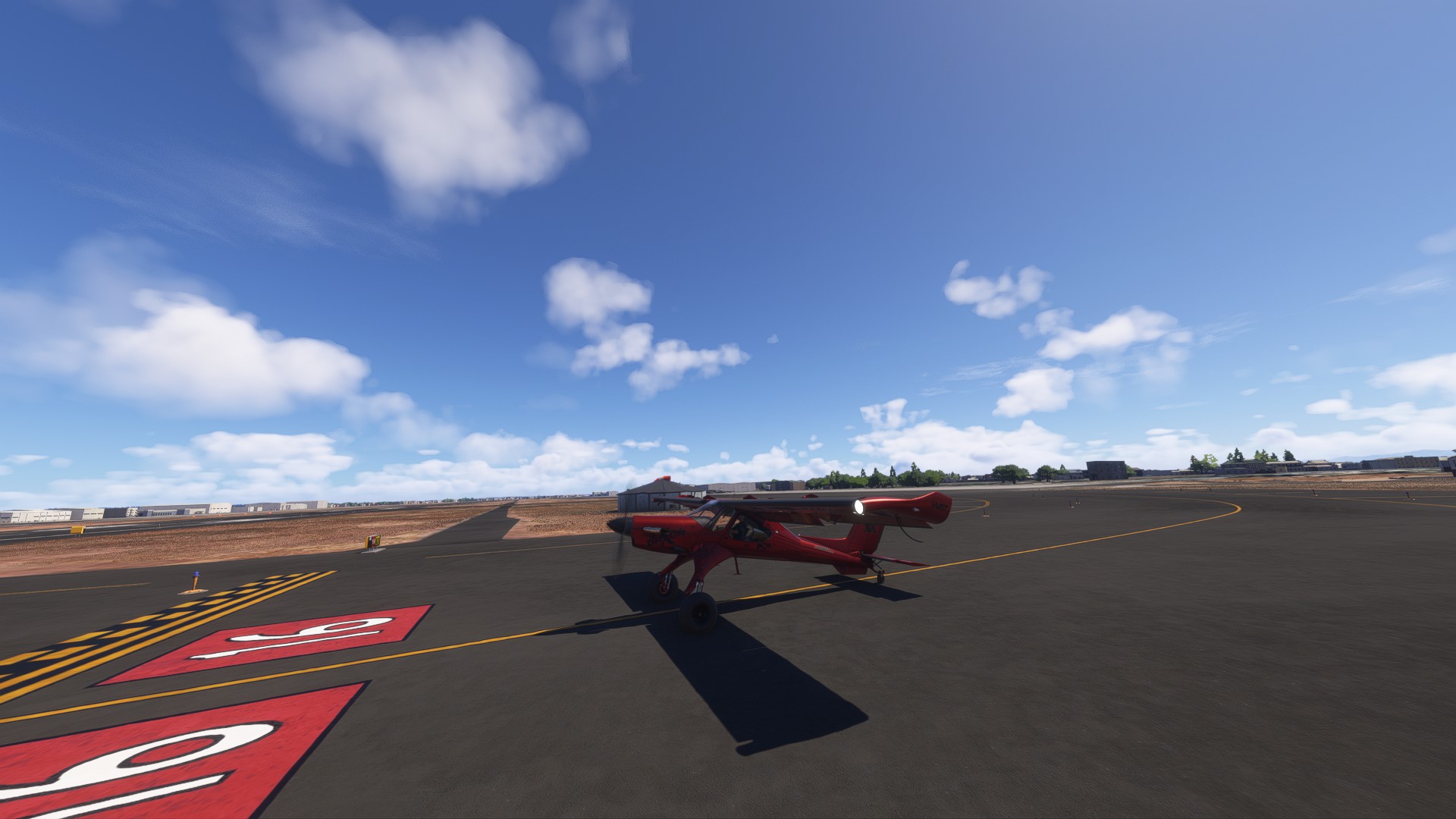
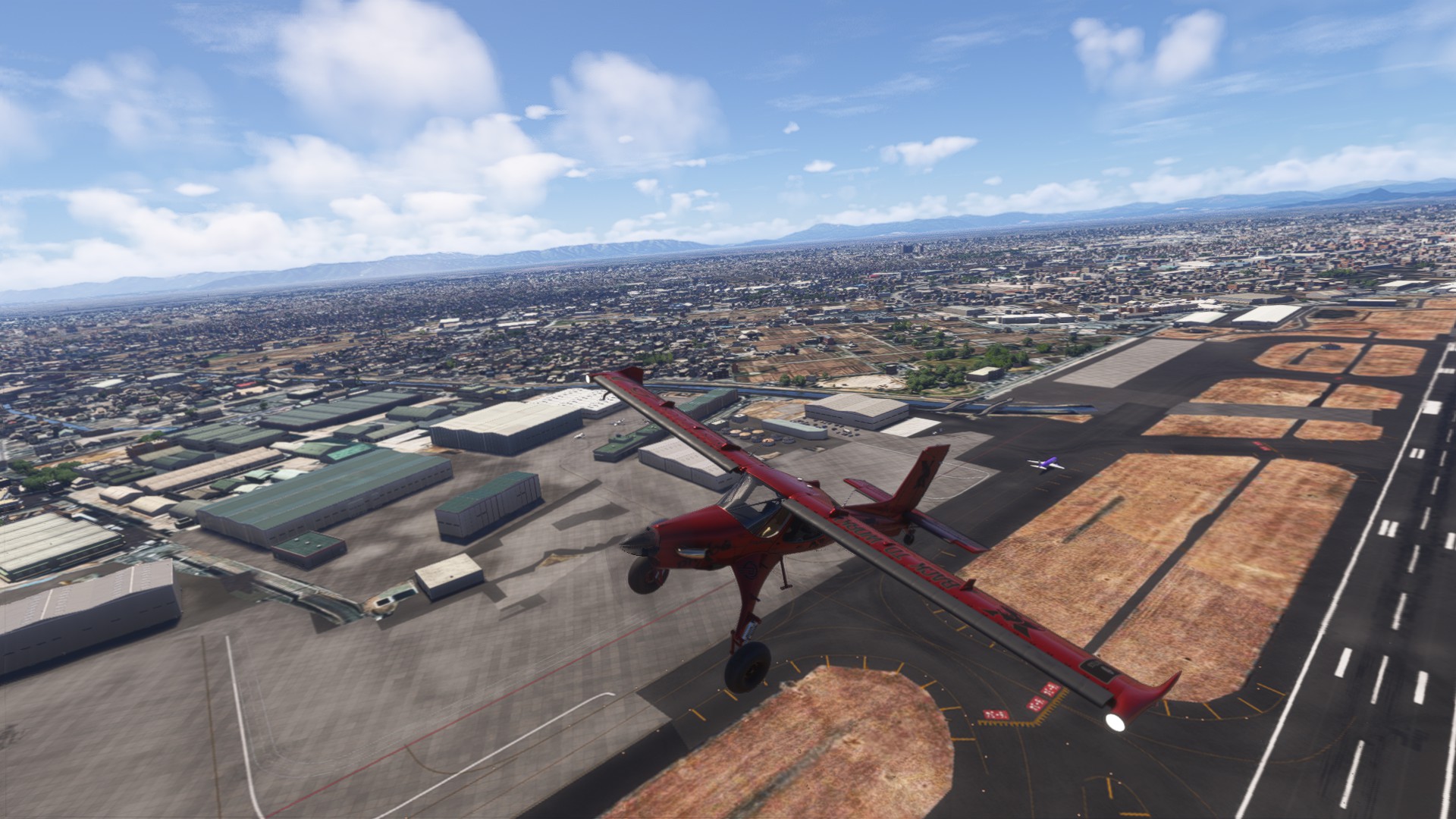
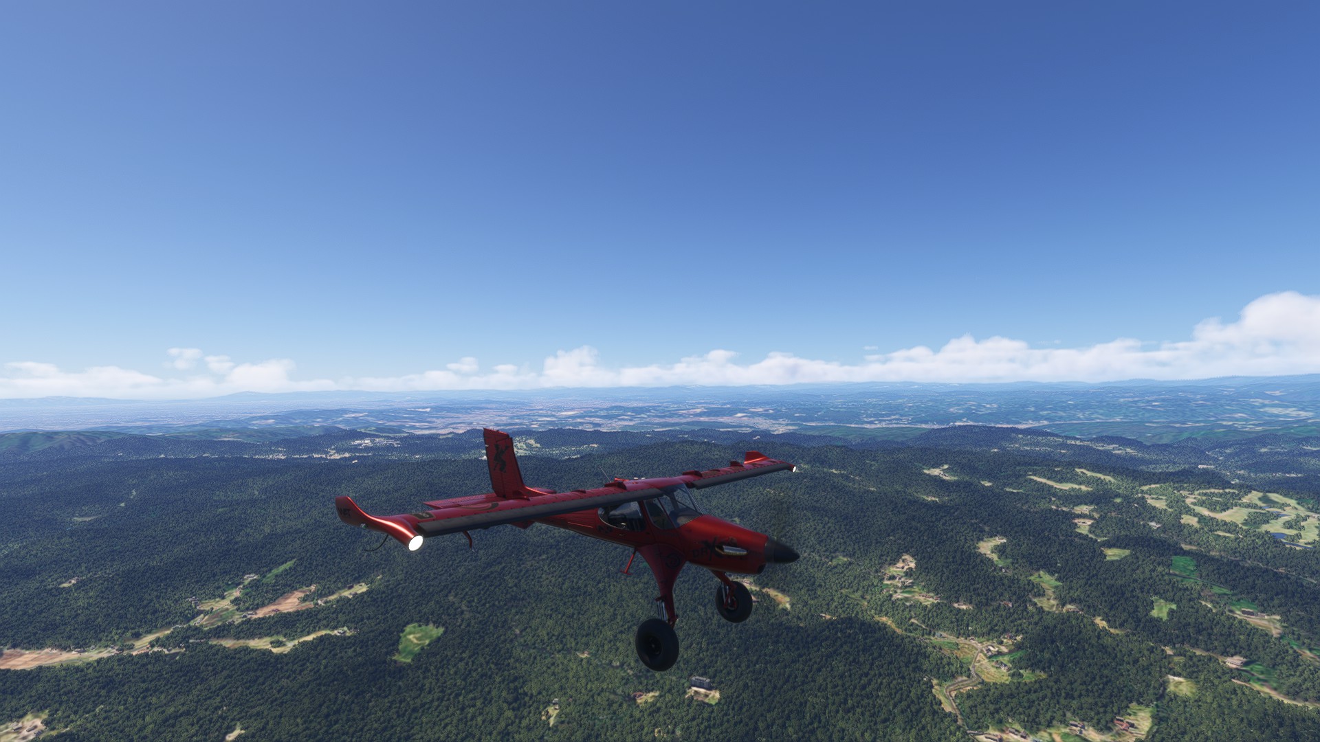
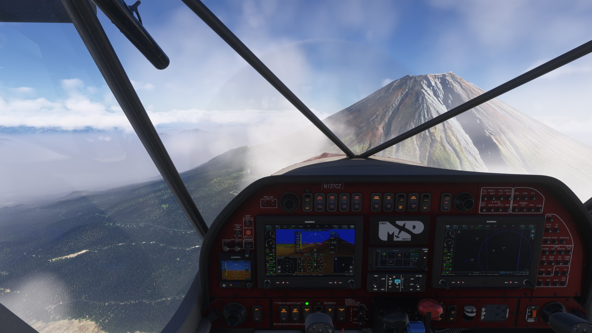
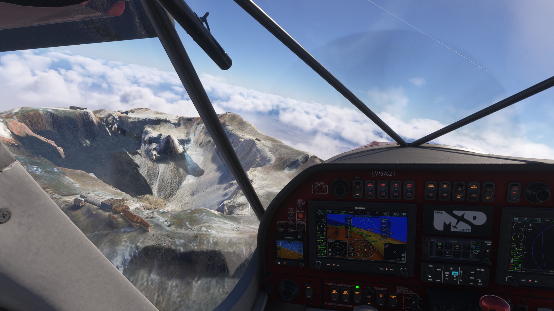
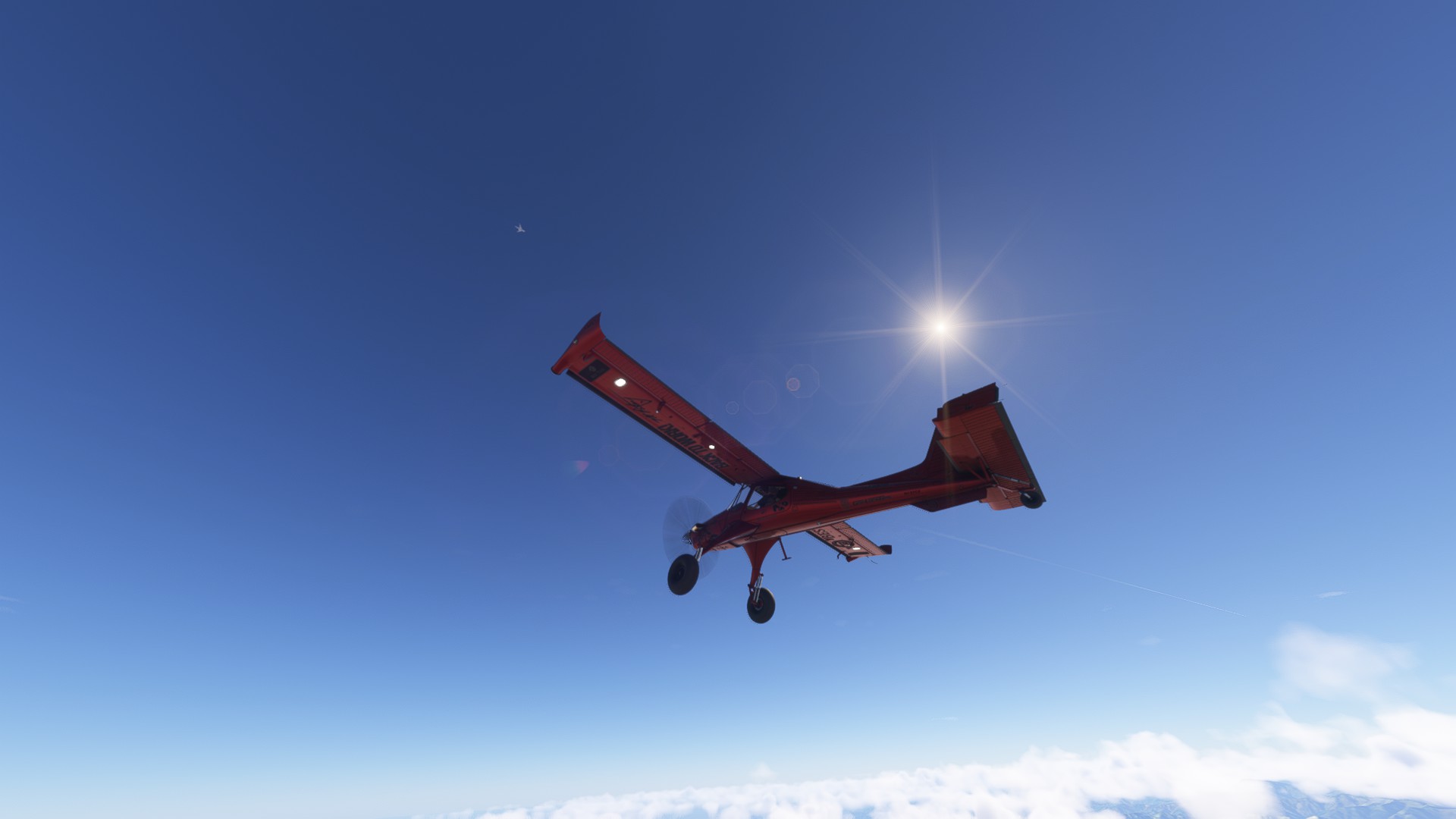
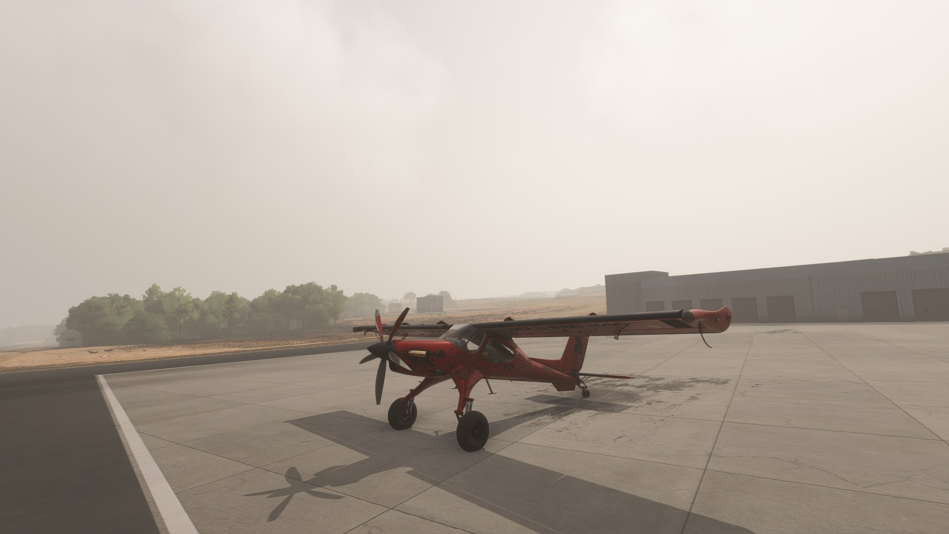
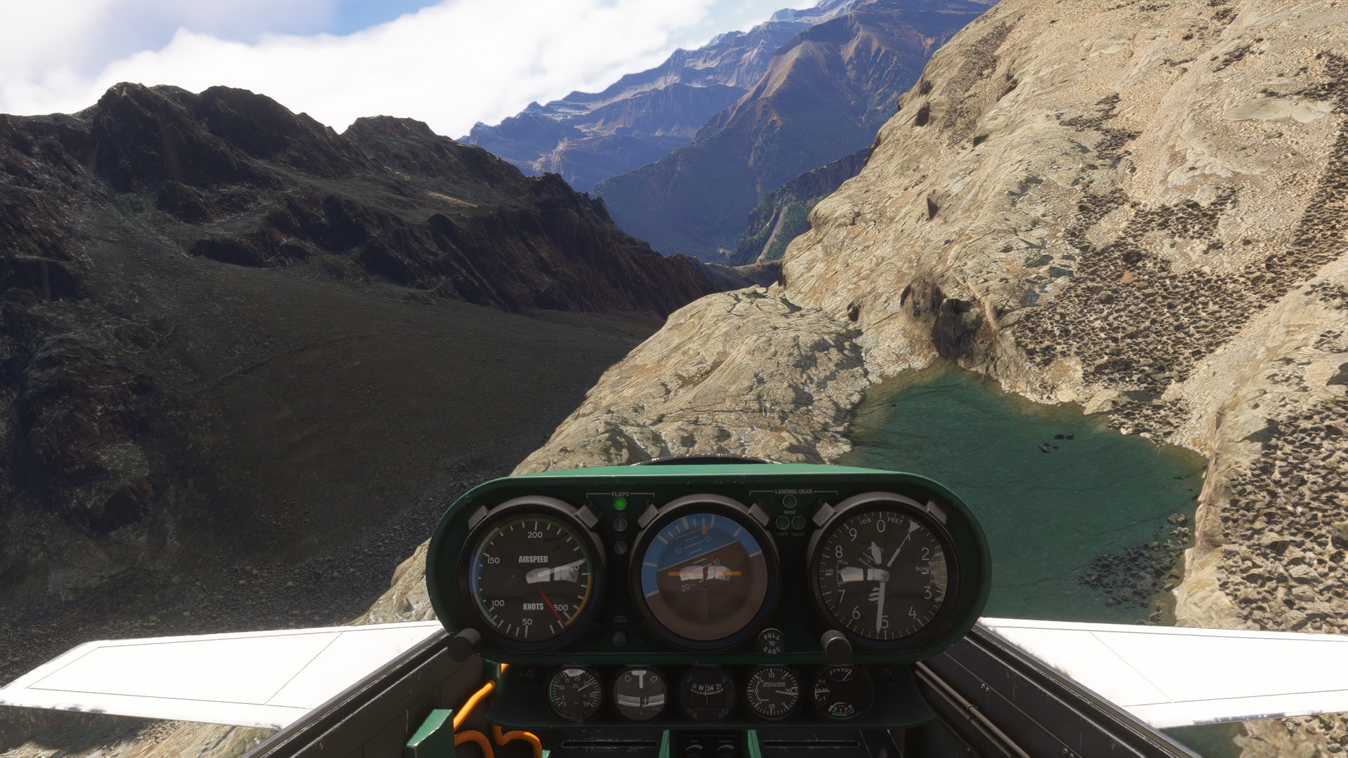
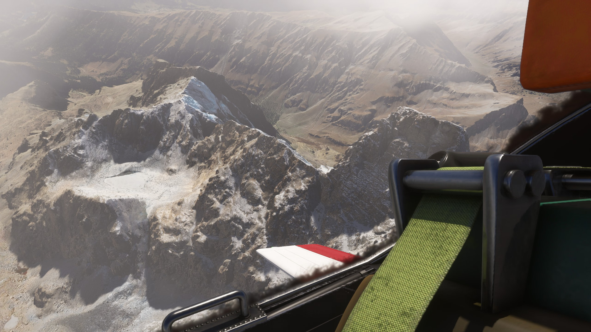
Checking out [Col du Colonel / Passo del Colonnello: 1 hike to discover]
(Col du Colonel / Passo del Colonnello : 1 randonnée à découvrir)
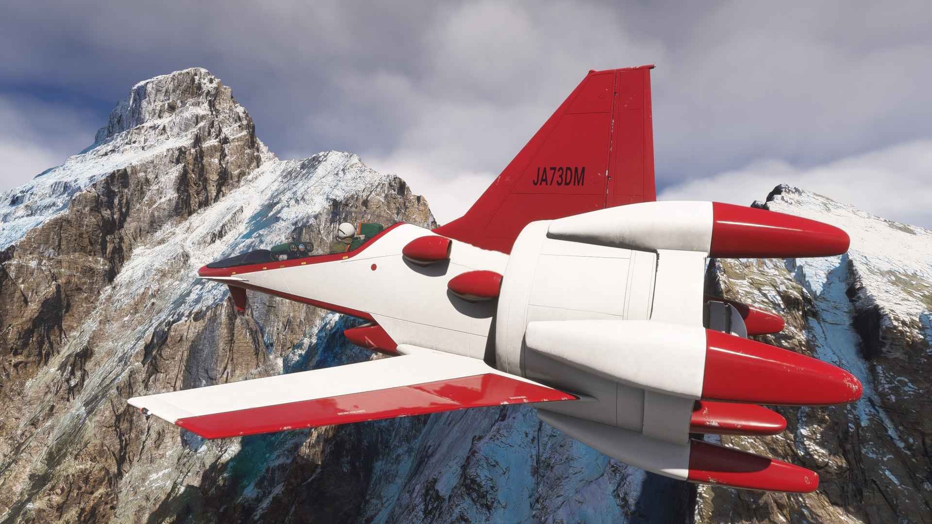
This freebie DMS Fanracer is a great MSFS 2024 alien landscape explorer.
Excellent visibility + uphill grunt + great maneuverability = twisty landscape surfer

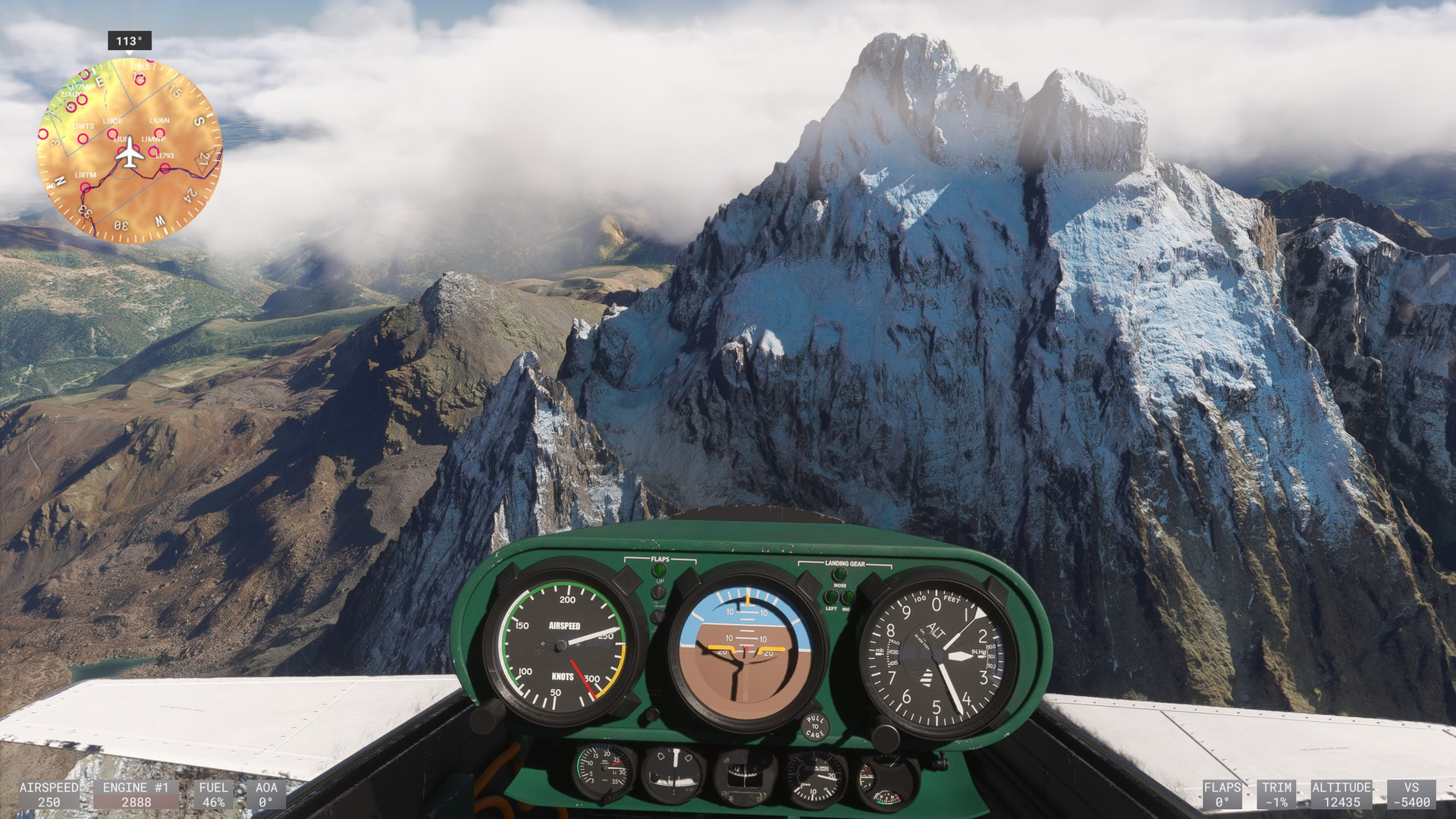
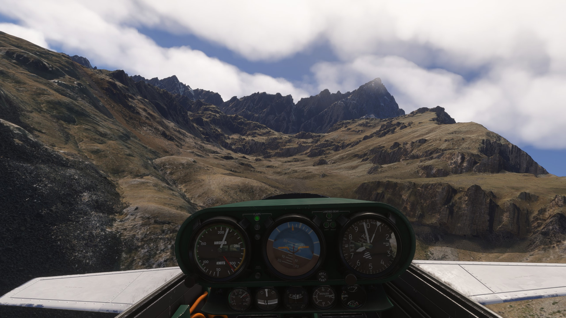
How long has your world tour taken up to now? Route so far etc?
Only asking because iv also done a world tour, using DA62 and TBM for longer legs? Took me a good while and my route map is pretty cool, so always intrigued
That was my 85th leg, starting in California and going east. I also went down into South America then back up and over Greenland, through Europe, down into Africa as far as Victoria Falls in Africa, then across Asia and now getting ready to head north to make my Pacific crossing. I figure I have about 20 legs left. 34,135 NM so far.
Most of the legs have been in the TBM 850, although a few have been in aircraft with similar capabilities, such as the Starship or Turbine Duke. When I’m coming up to something I want to explore in more detail, I’ll hop into a bush plane like the Draco.