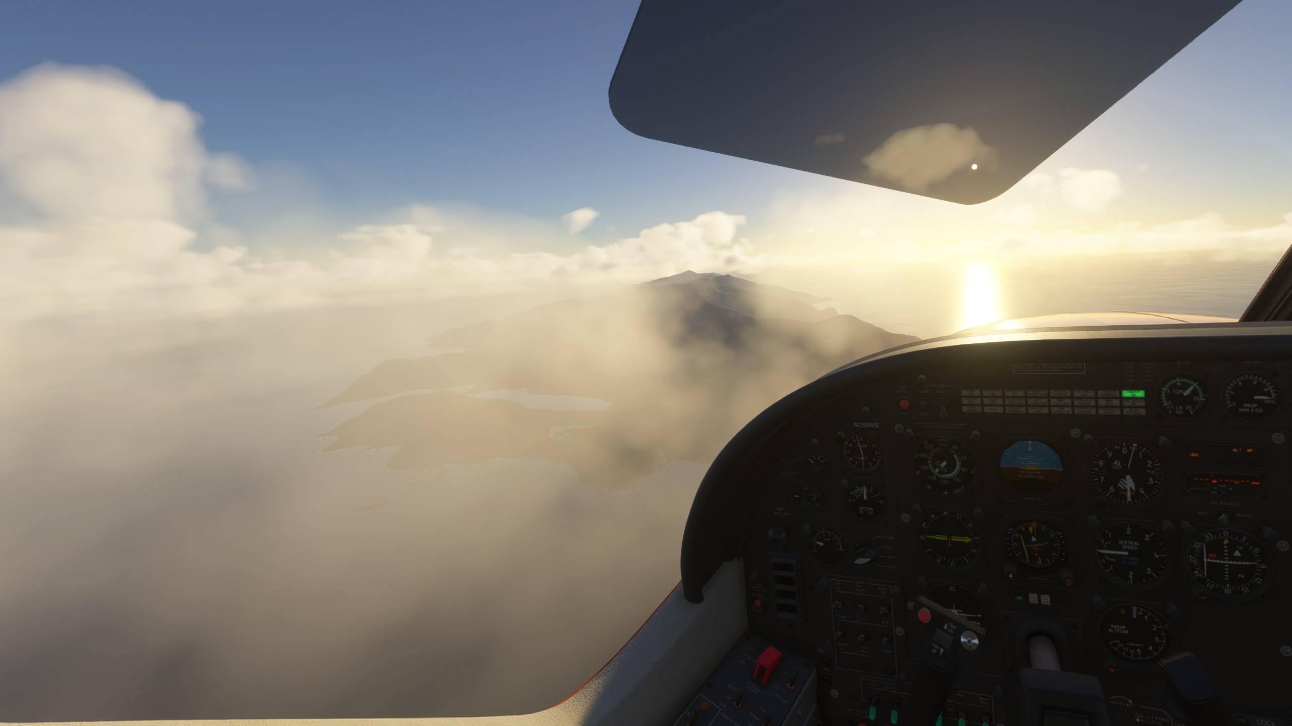
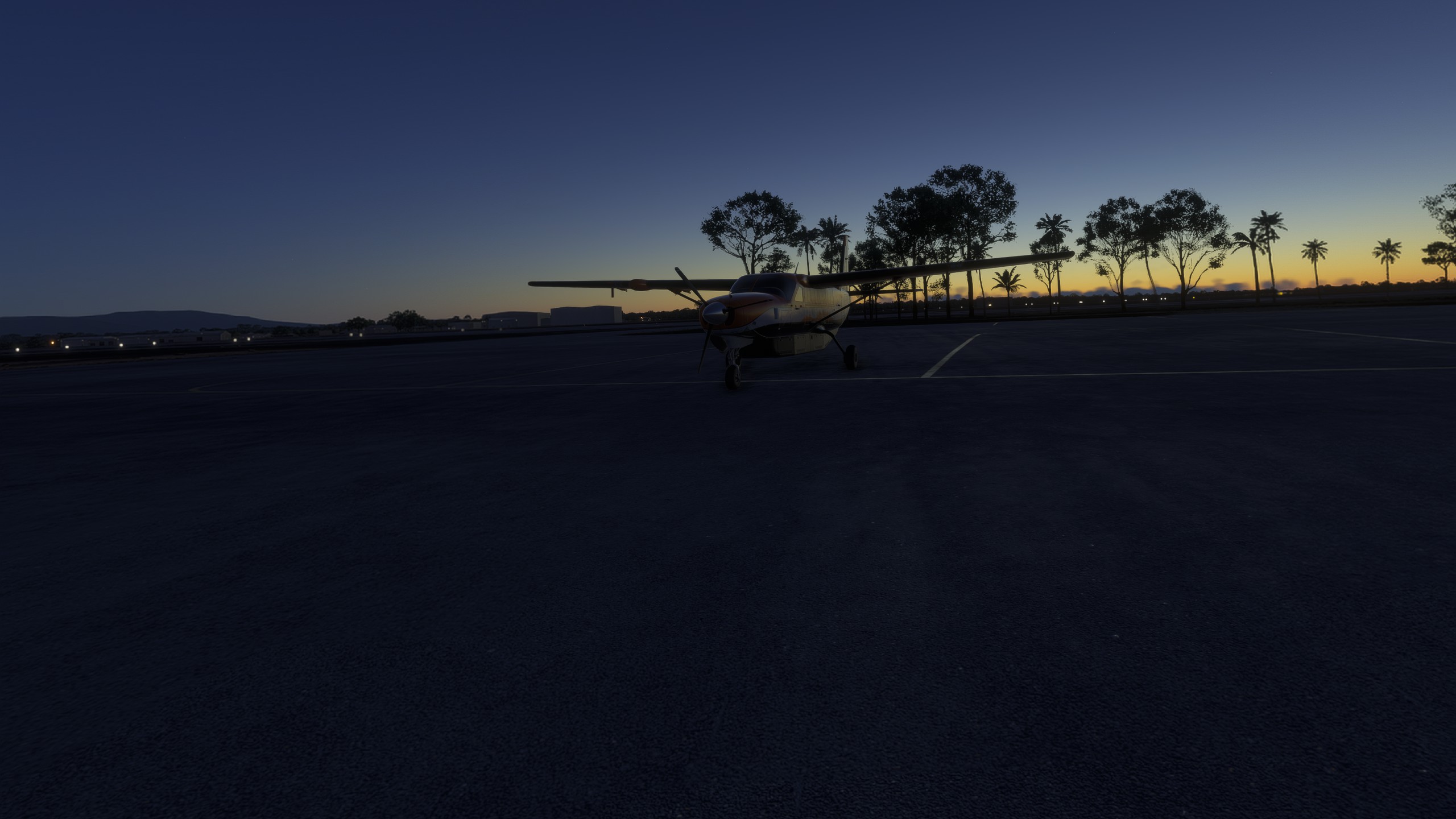
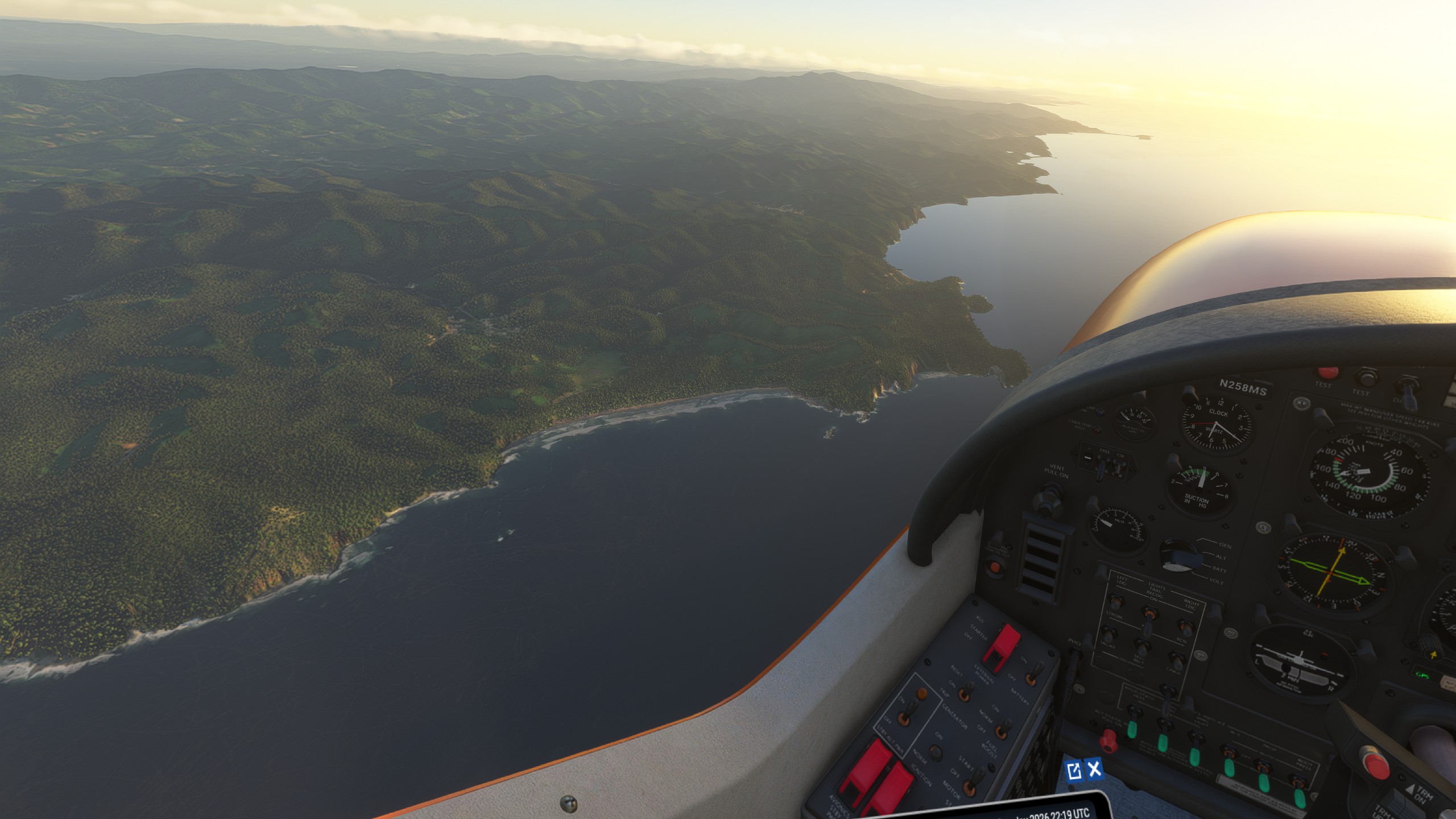
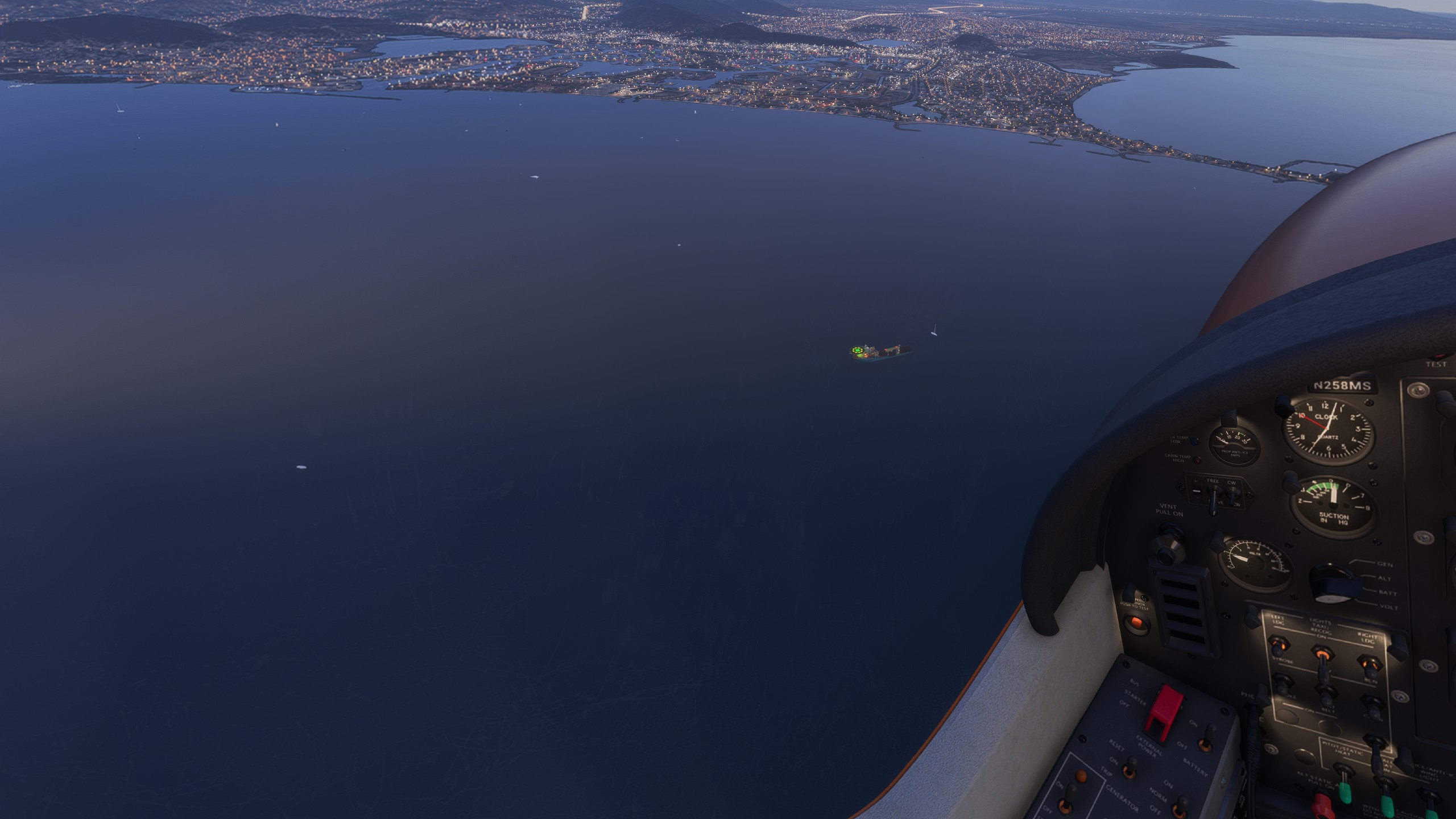
In the Caribbean still. TTPP - SVBC in the bksq C208 in VR.
Thank you , i will defiantly look it up .
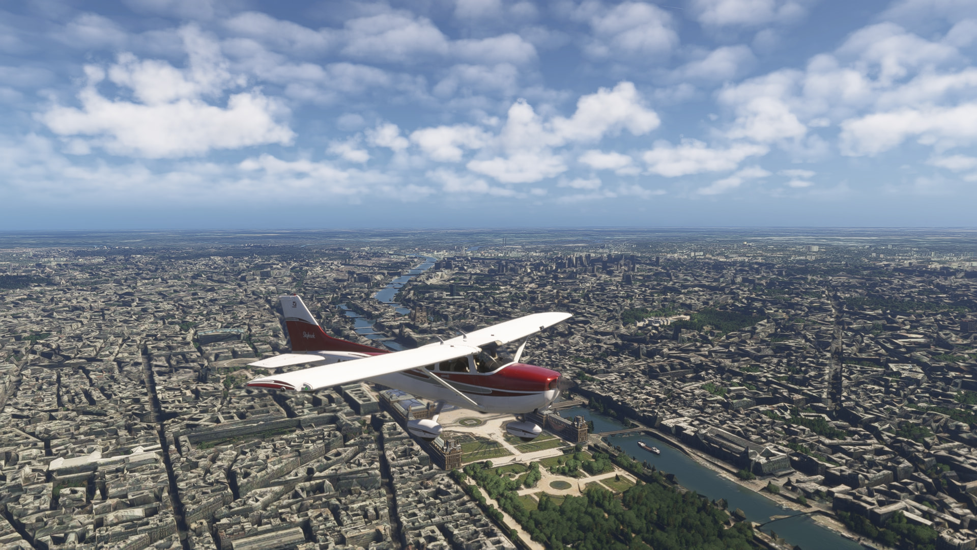

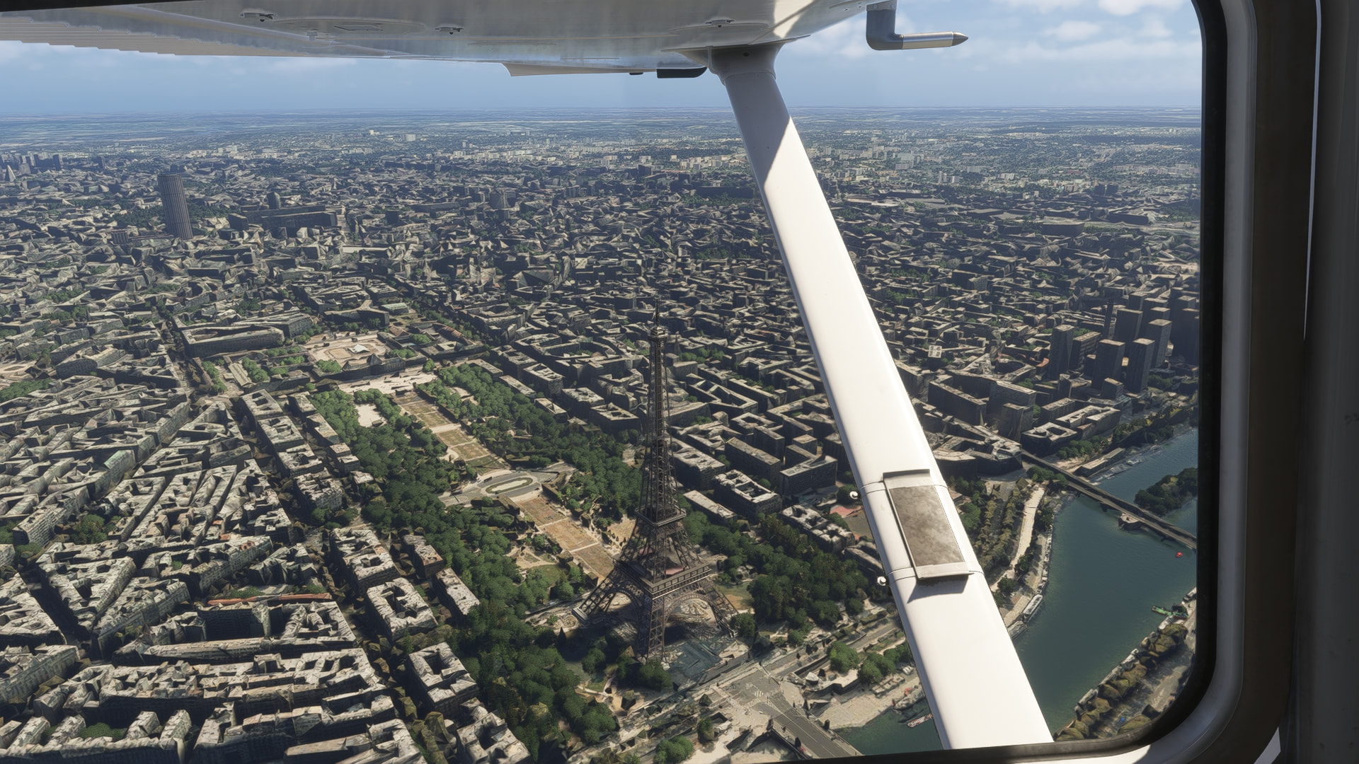
Had a fun time in Washington D.C. Flew a helicopter into restricted airspace (Washington Monument). I wish MSFS 2024, would have F16 fighter jets escort you out or shoot you down…
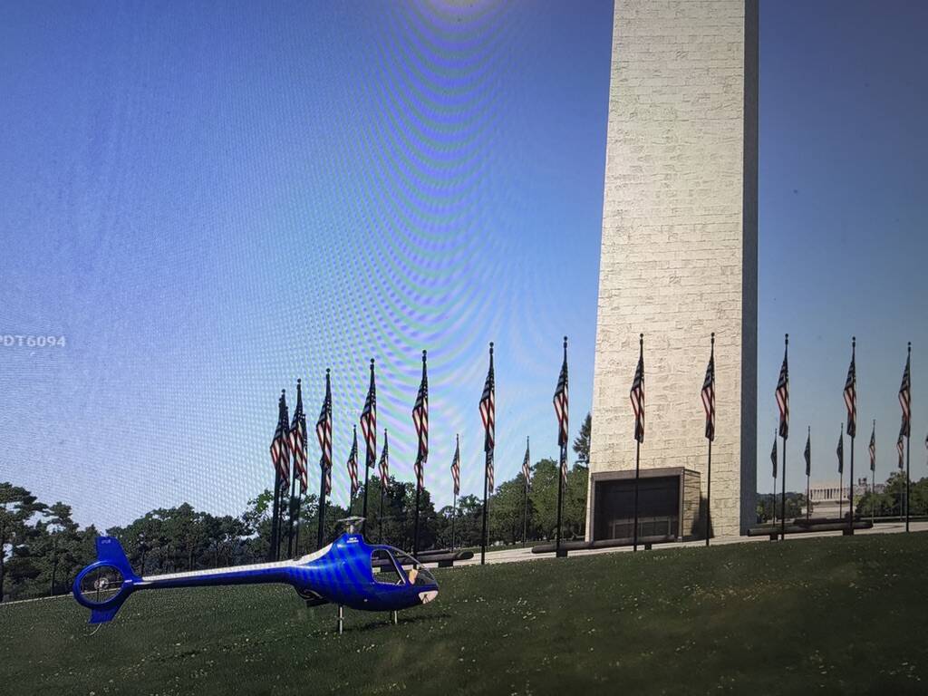
Didn’t realize that heards of cattle and horses grazed on the lawn around the Washington Monument…

I guess they are enjoying it since there is lots of green grass to graze on…
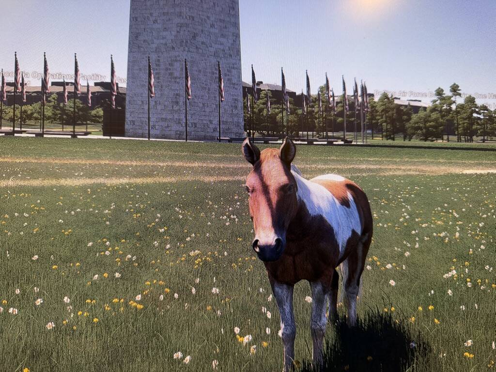
This guy was friendly, didn’t bolt off when I approached him… What was the Asobo AI thinking of when generating this area? Should have been protesters spraying graffiti on the monument and having run ins with the cops… would have been more realistic…
Random airline ops
Lynden Pindling international (MYNN) to Providenciales (MBPV) in the carenado DO228




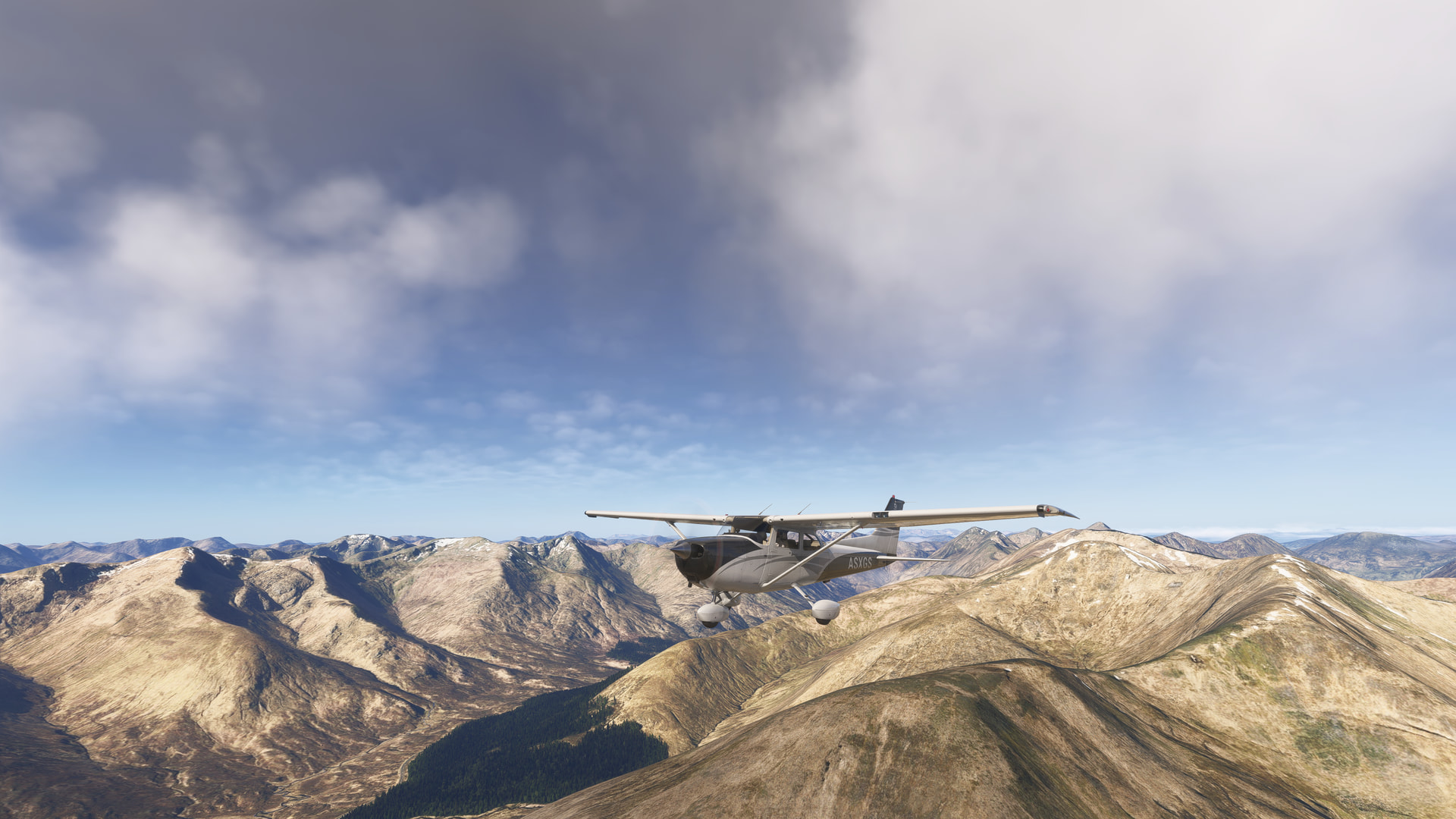
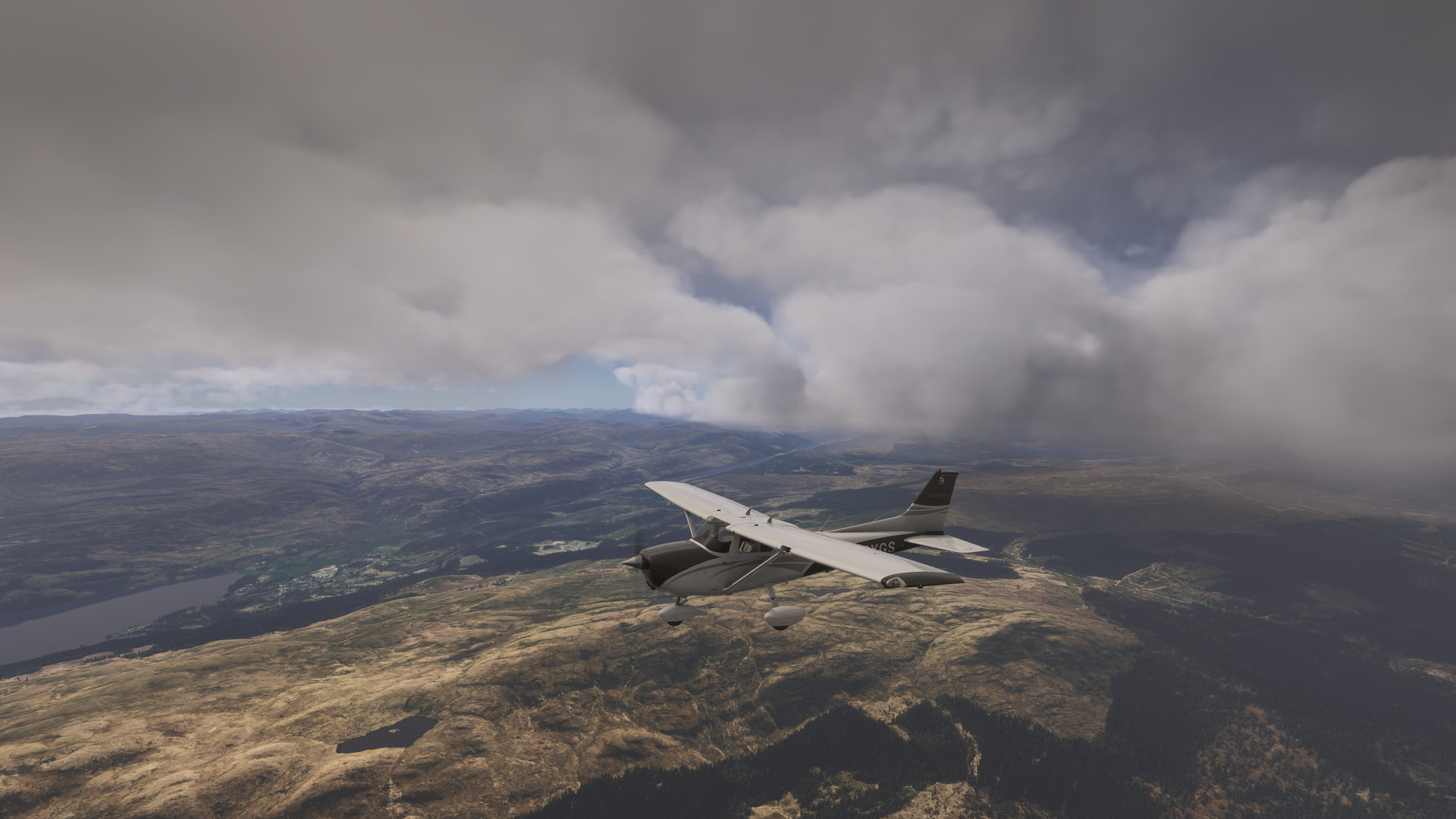
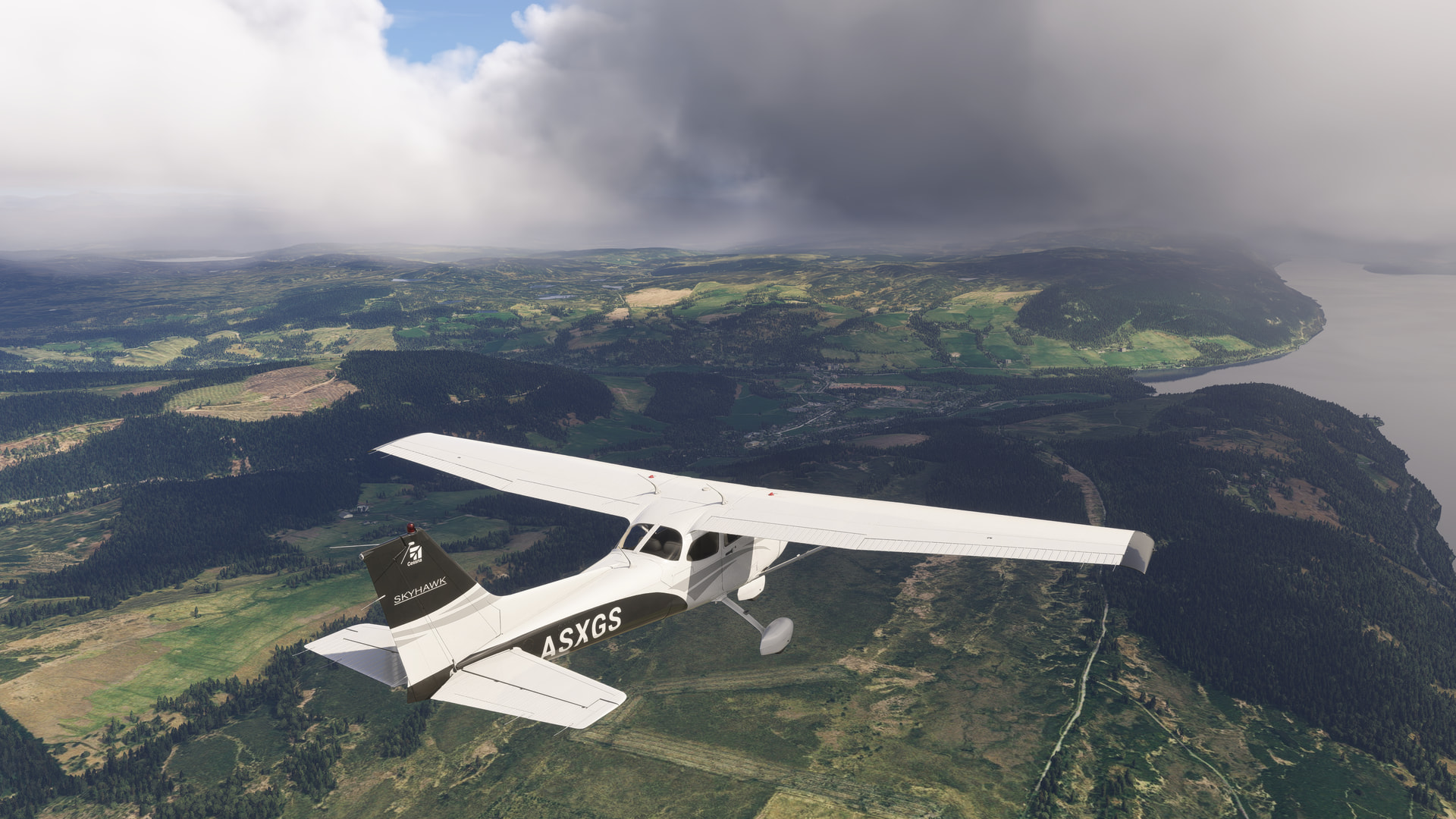
Random airline ops
Took the DO228 from Providenciales (MBVP) to Princess Juliana (TNCM)
Quick question, do you have all the BBD airports? Only I am stuck on the third airport - and I do not have the add on scenery. I have tried to ask BBD for a hint - but no help so far! Any chance you could offer a hint? If you have their airport, it may help me!
Keith
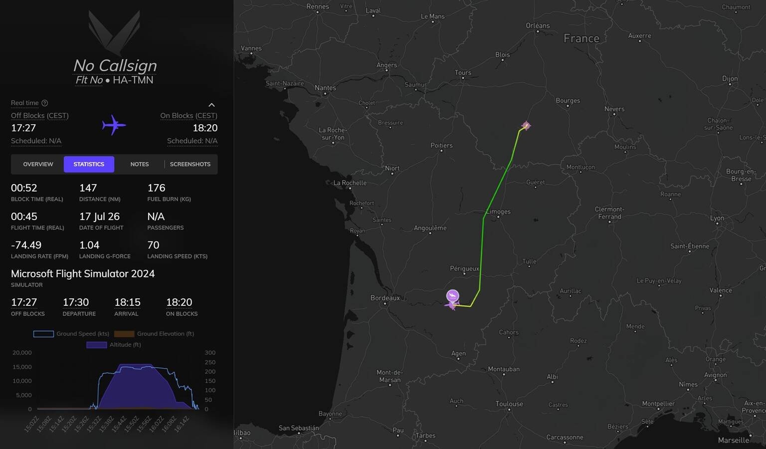
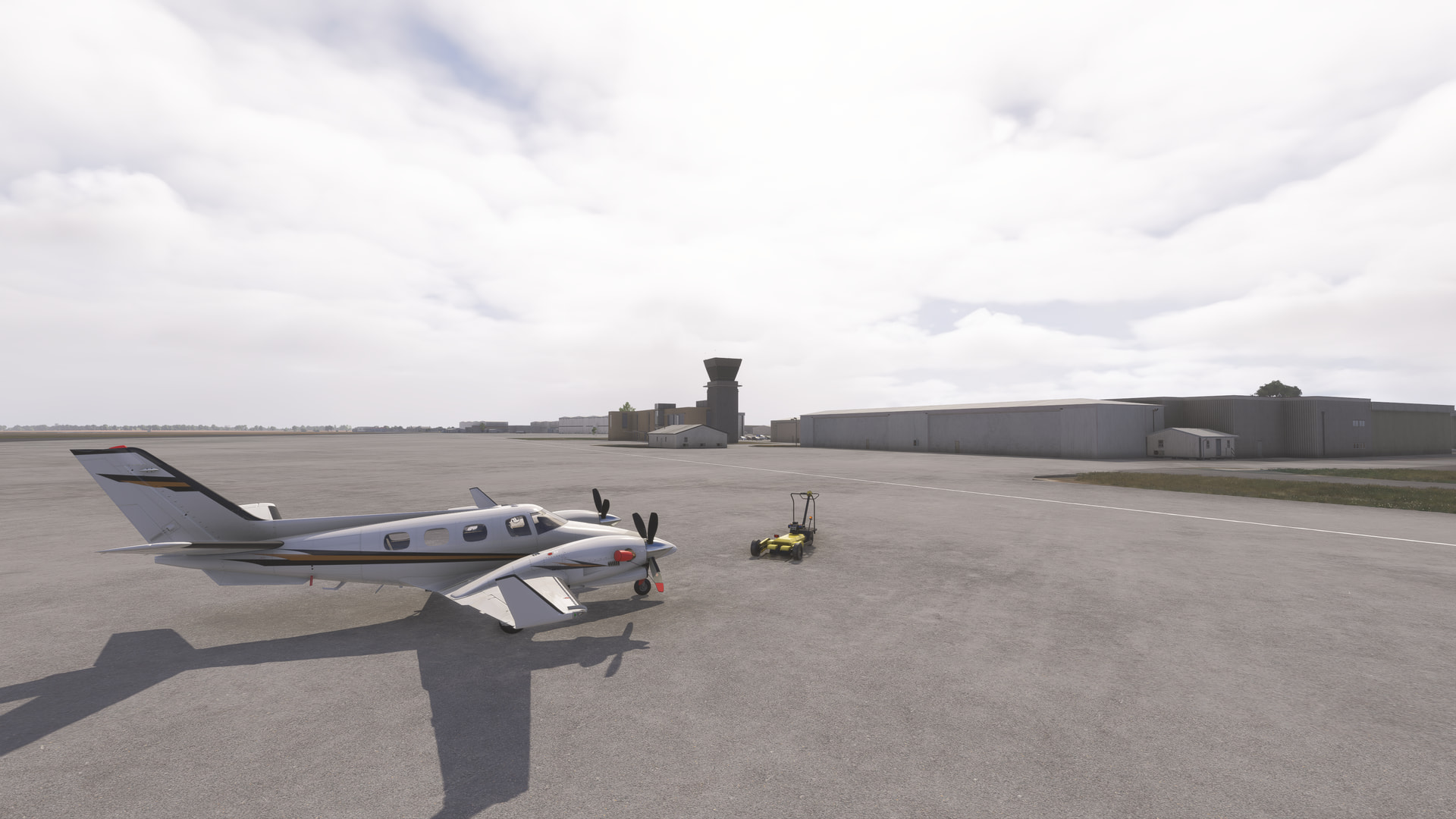
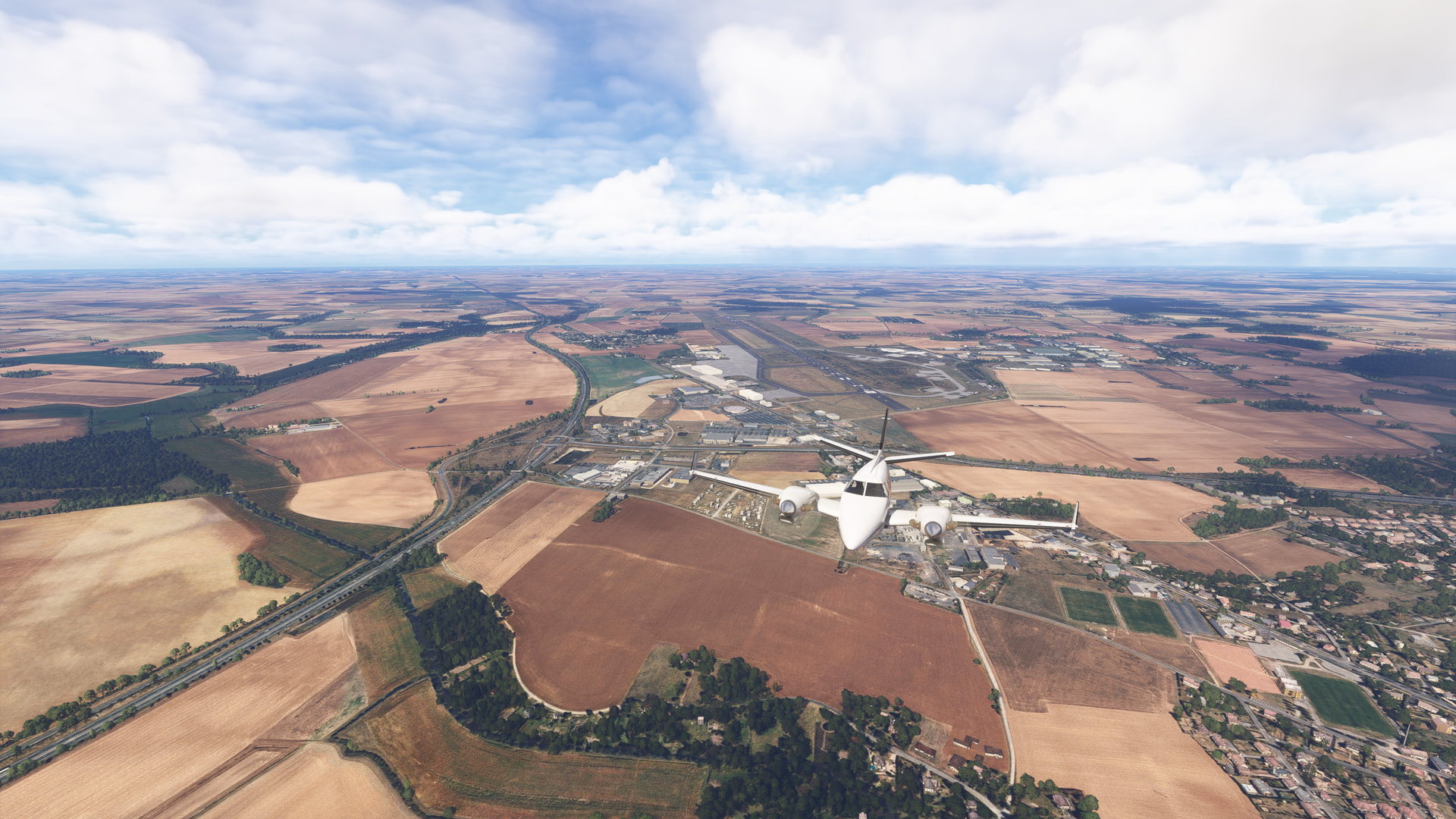


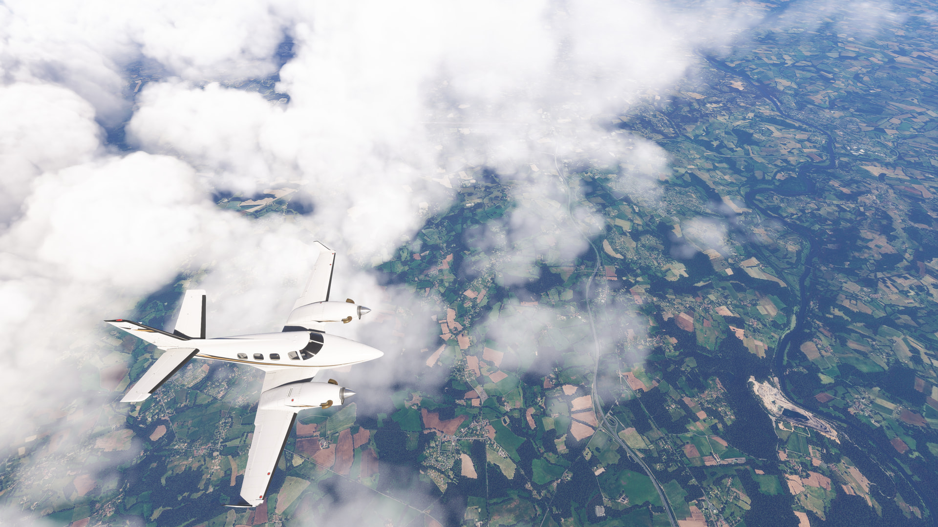
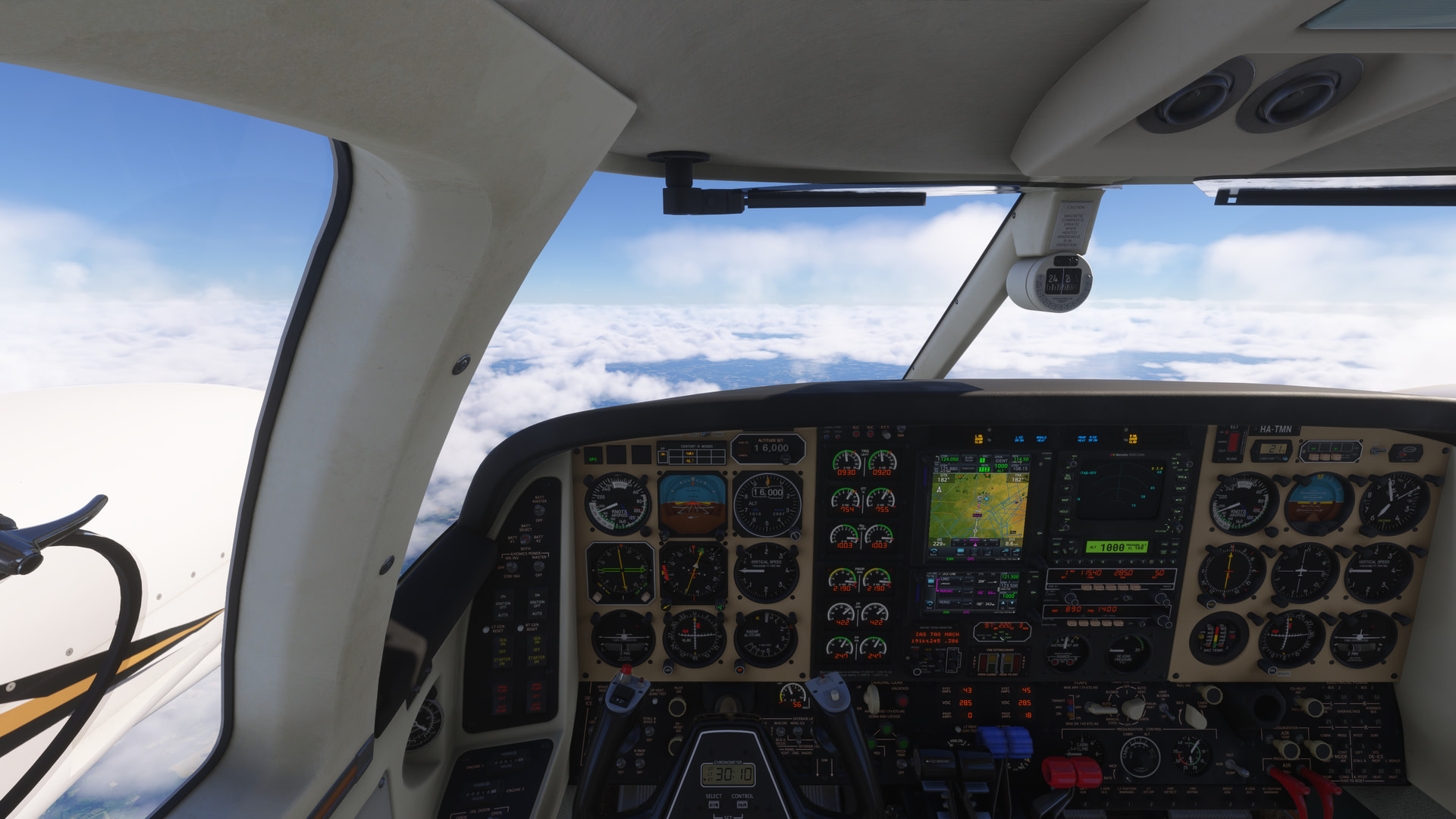
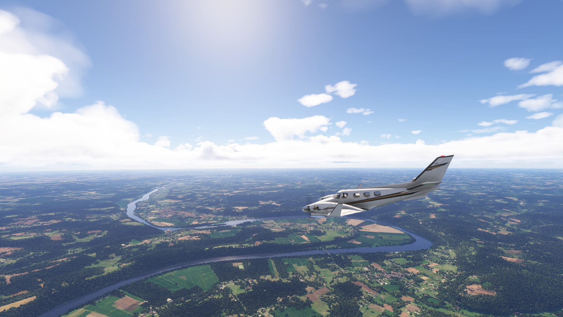
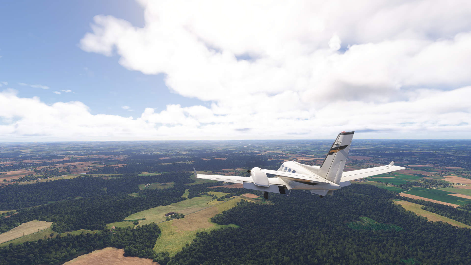
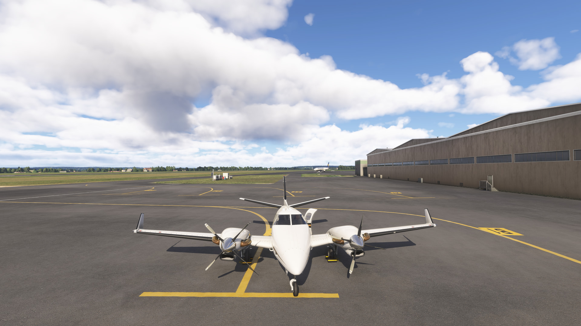
Awesome livery! Hate to be the buff guy though… 
Persimmon Gap Ranch (TA64) to USBP Big Bend Substation (KAFSQ).
This is Part 2 of a trip to check out Big Bend National Park in WU22.
Continuing on from Part 1, we walk down from the US Border Patrol Heliport down to the Panther Junction Visitor Center, which is a nicely modelled POI:
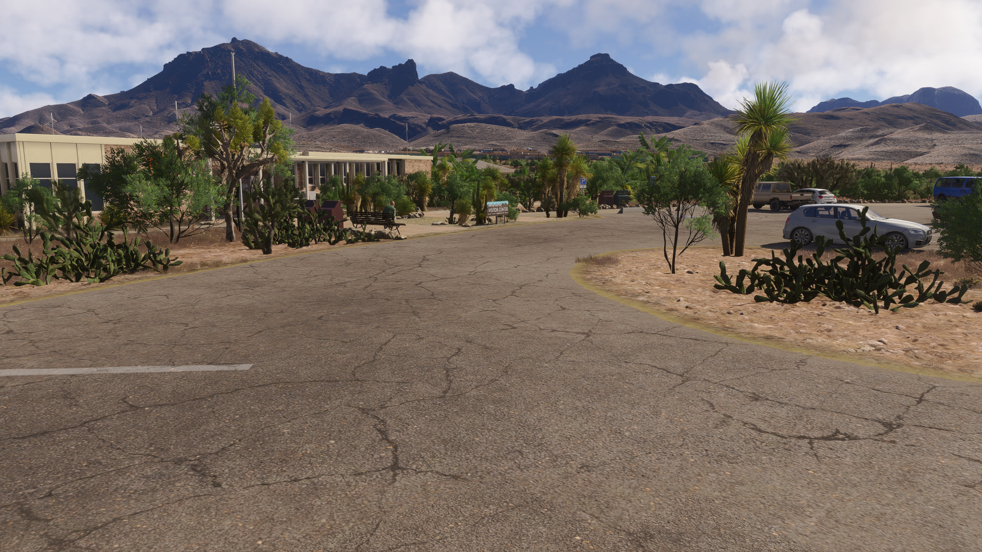
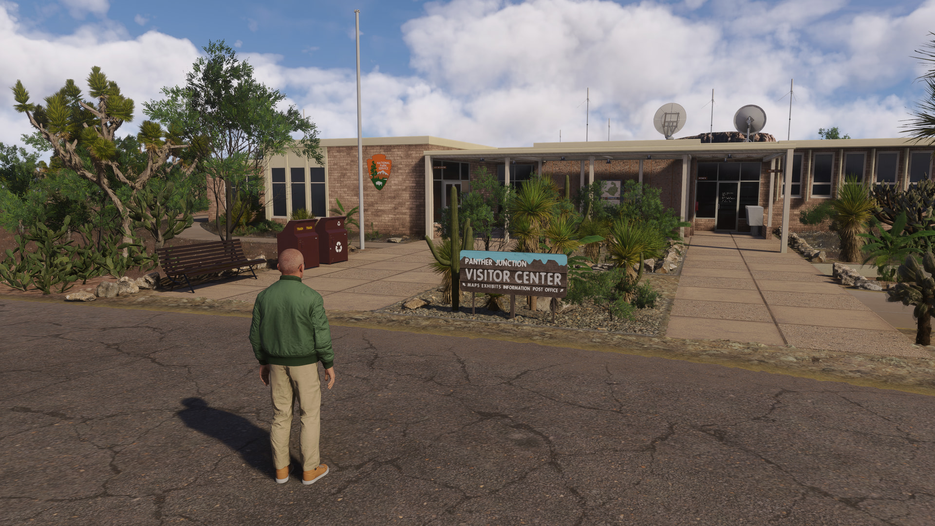
After checking out the information on the bulletin boards…
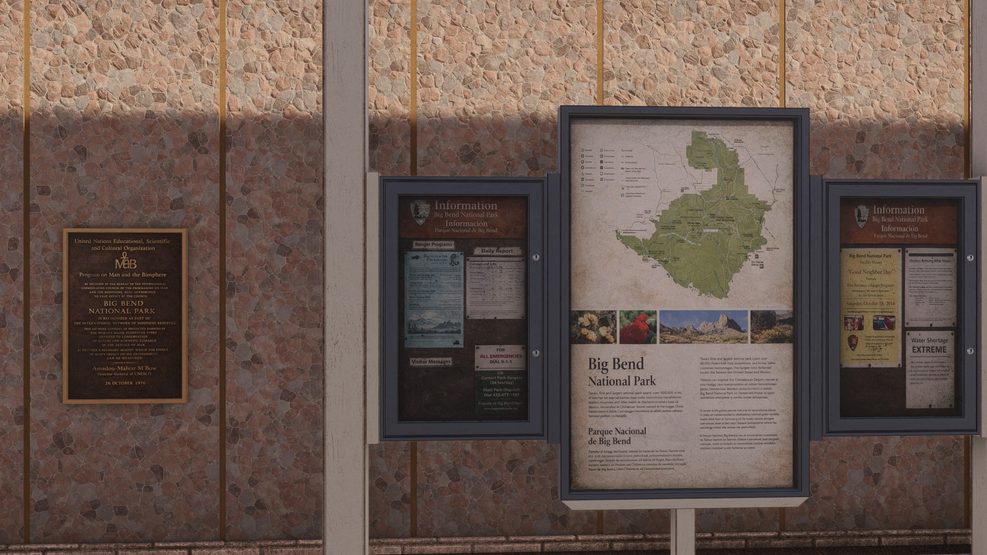
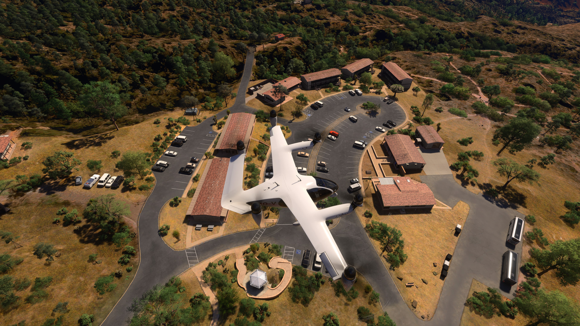
we get back in the air and follow the road to the Chicos Mountain Lodge a short distance away:
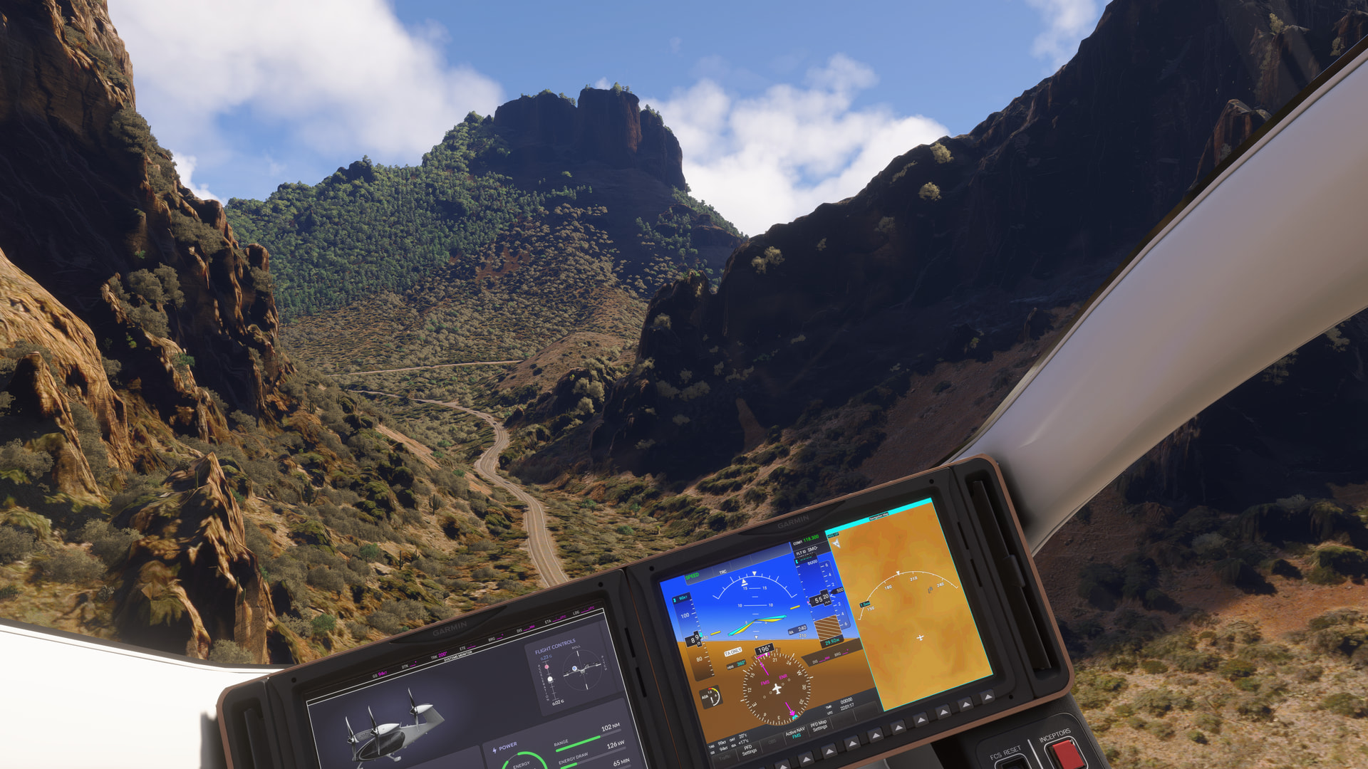
another POI hidden in the mountains. Here, I’m descending to land by the lodge vistor center:
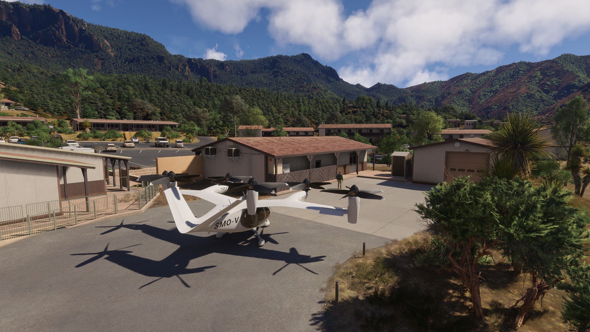
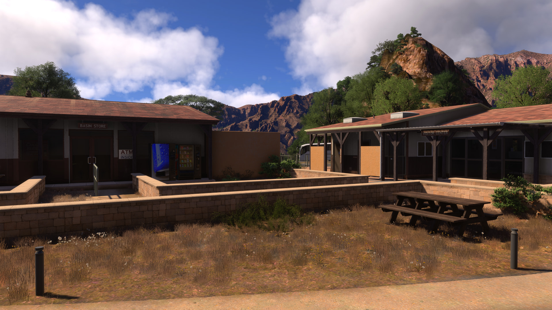
The visitor center and store:
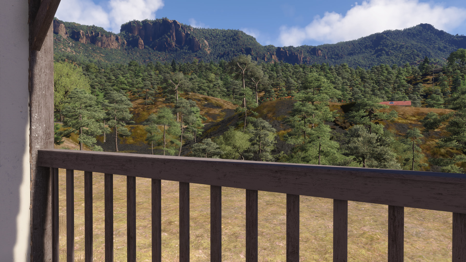
The view from the balcony of one of the guest rooms:
There are quite a number to choose from:

and all have scenic views to enjoy:
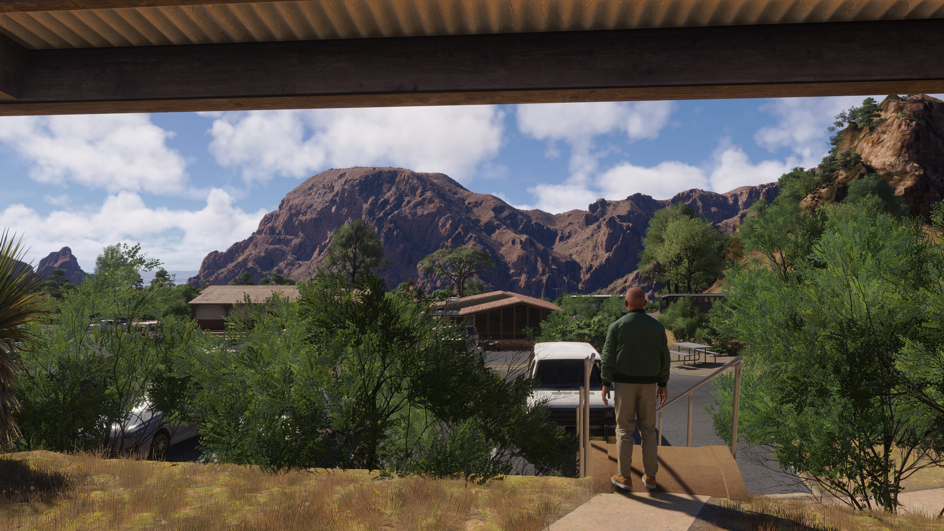
[MSFS 2024 SU6 Beta v1.8.8.0, live weather, BijanStudio Seasons Enhanced 2024 v4.5.0]
Part 3
Leaving the lodge, we’re going to take a long loop around the park. To start, we head over the mountains and down the headwaters of Blue Creek:
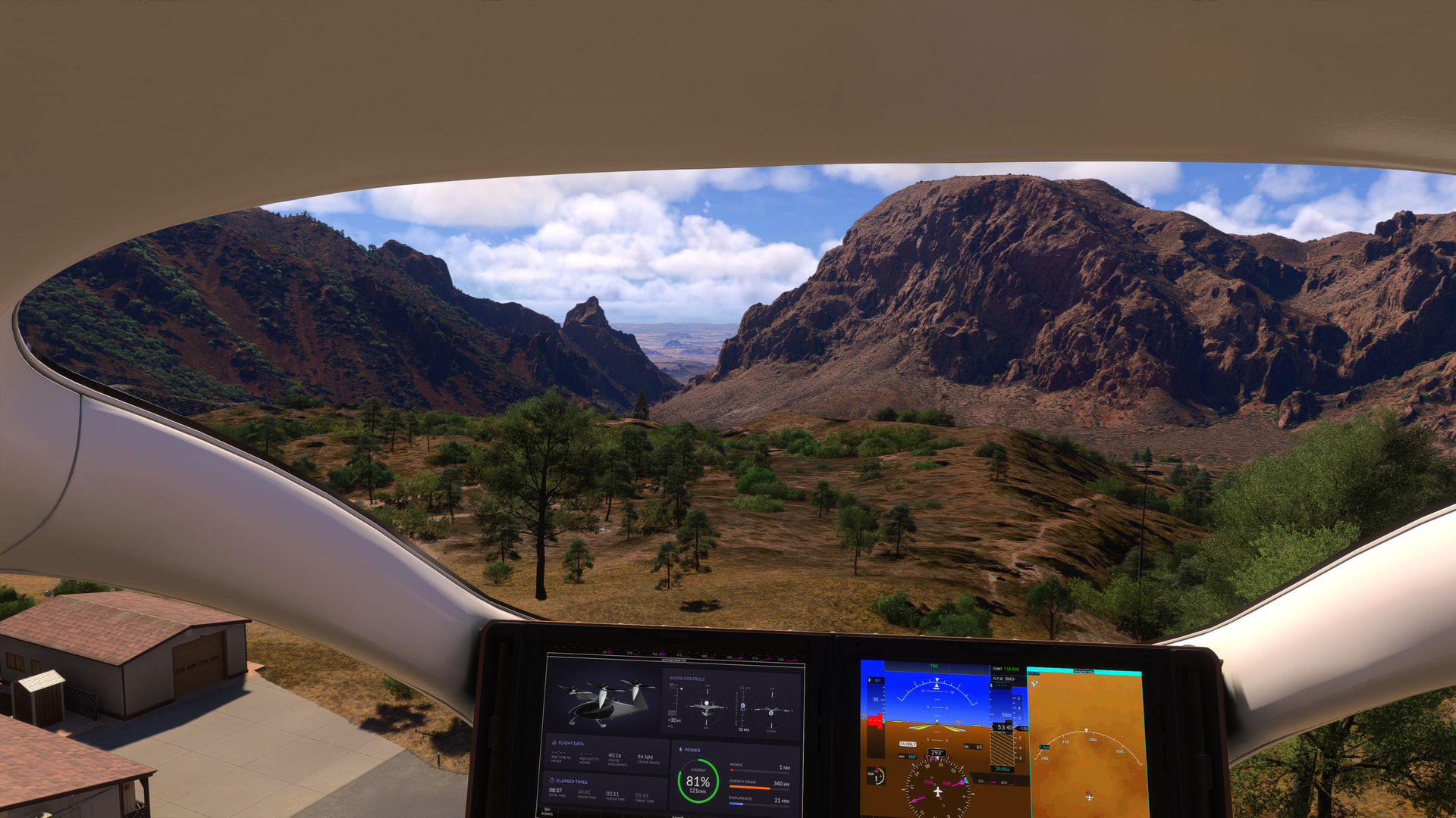
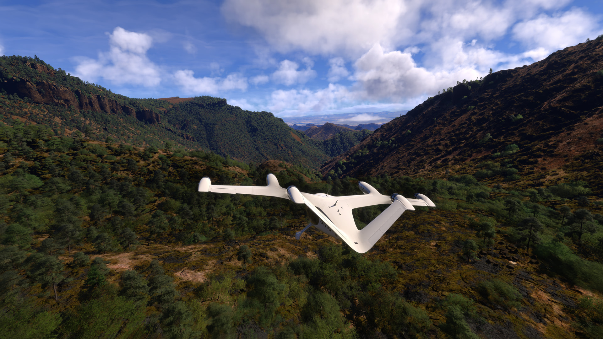
Through the gap in the rocks near Pulliam Peak:
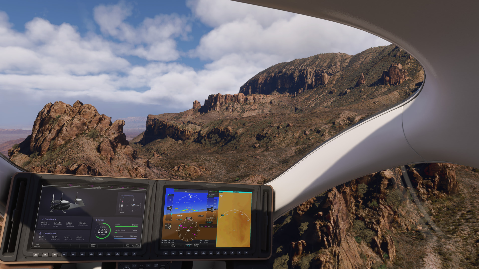
Along the cliff-face:
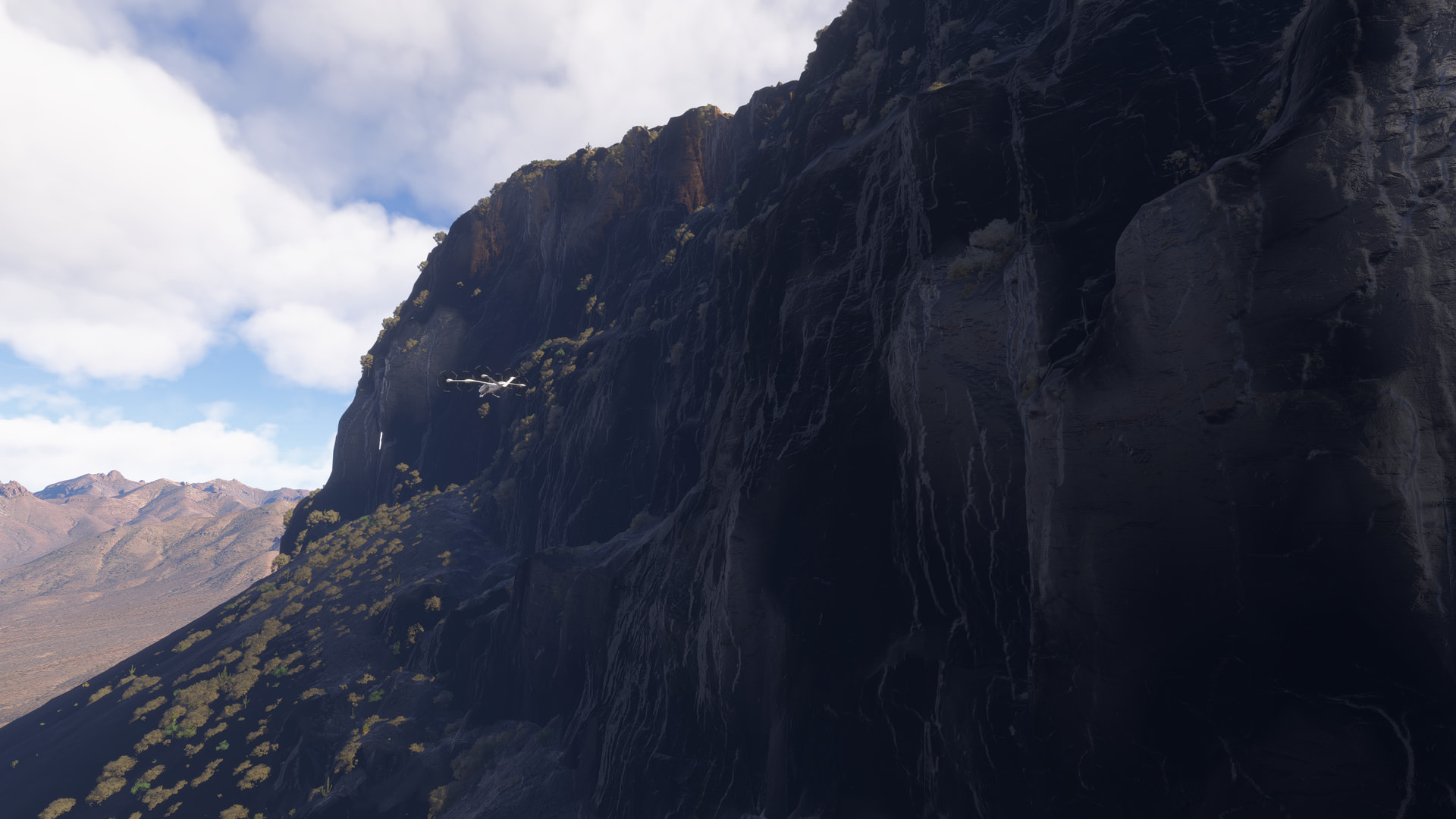
Before turning north and heading for the Painted Gap Hills:
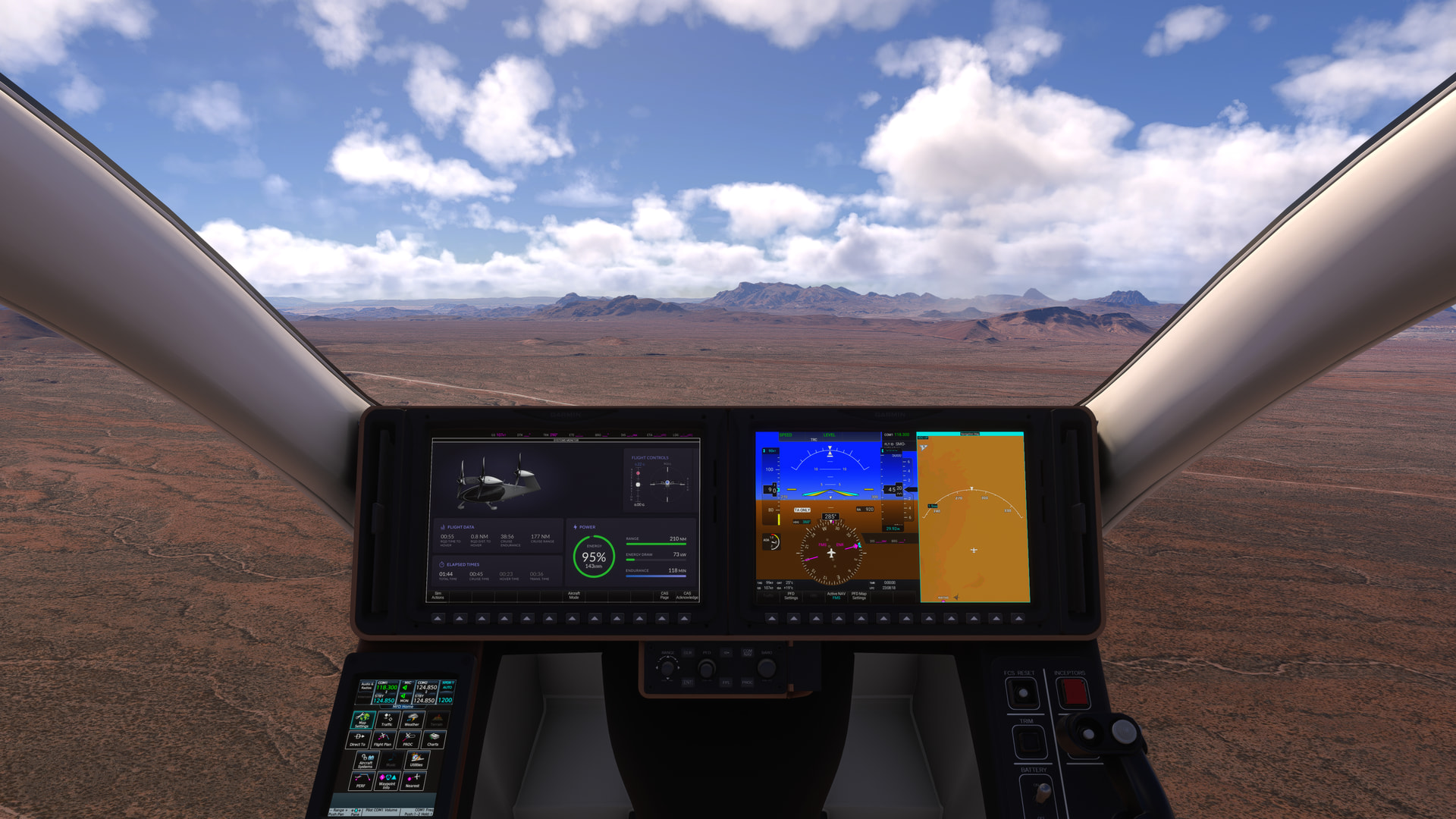
Making a westerly turn over Croton Peak, we aim for Tule Mountain:
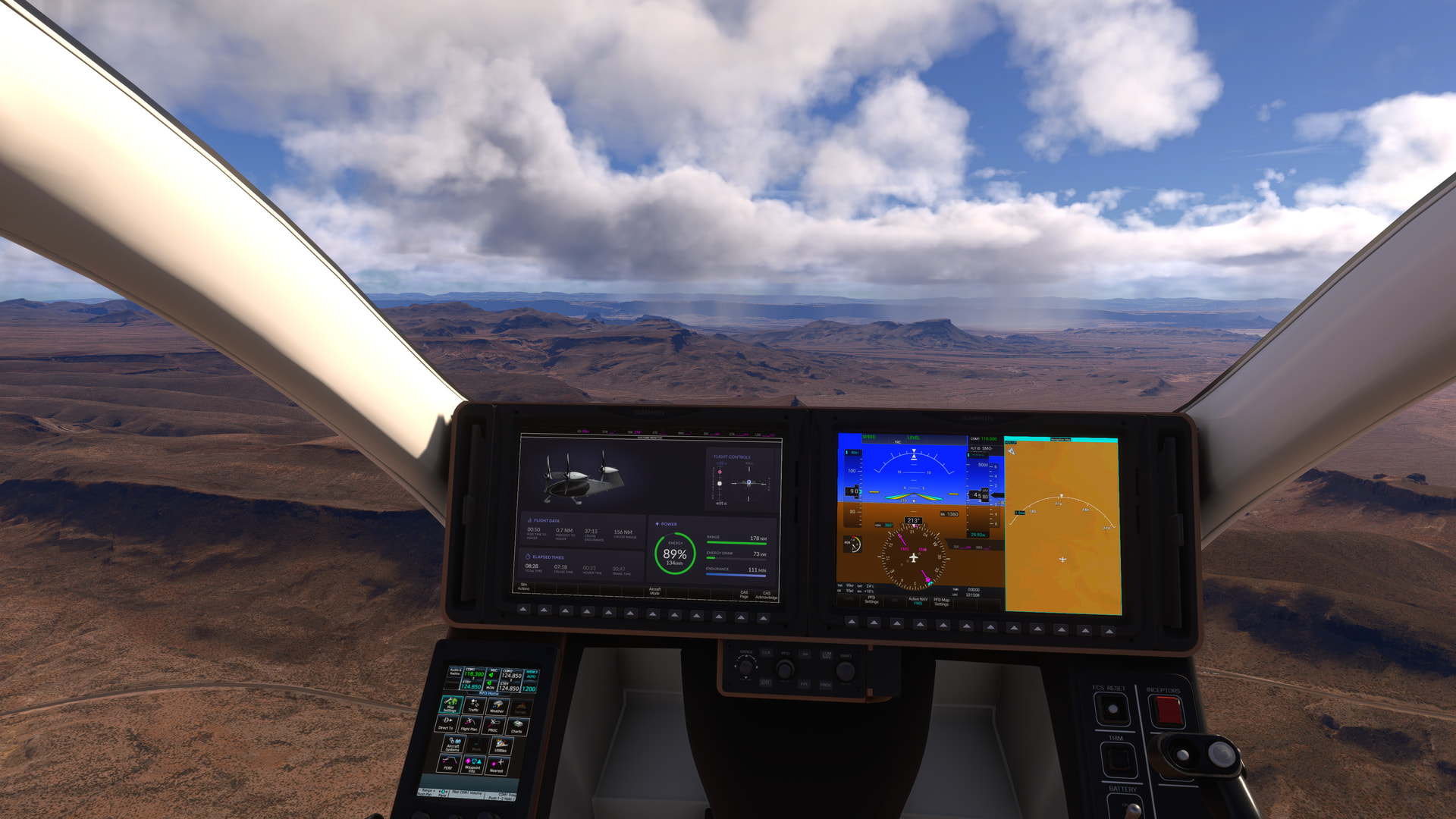
You could land on the top of this mesa, but we’re using it as a waypoint…
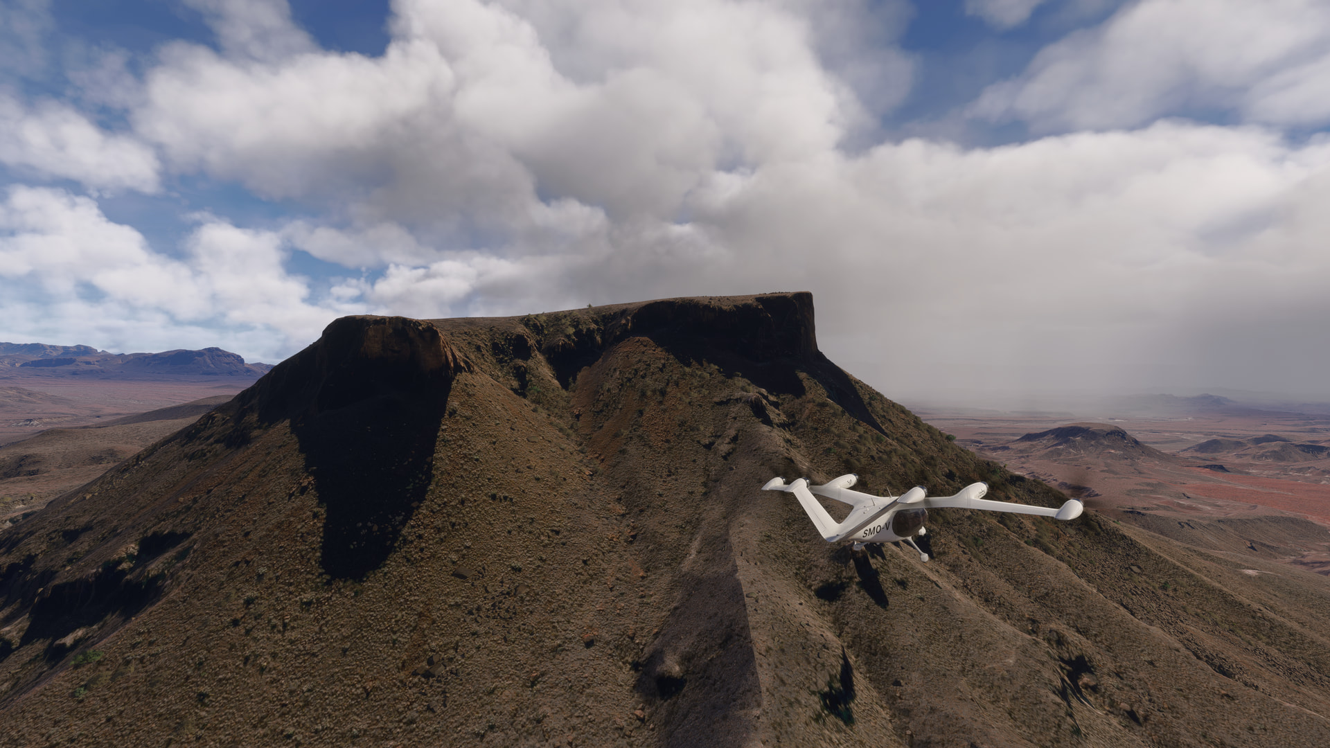
for the turn towards, Kit Mountain, Trap Mountain, and Mule Ears Peaks:
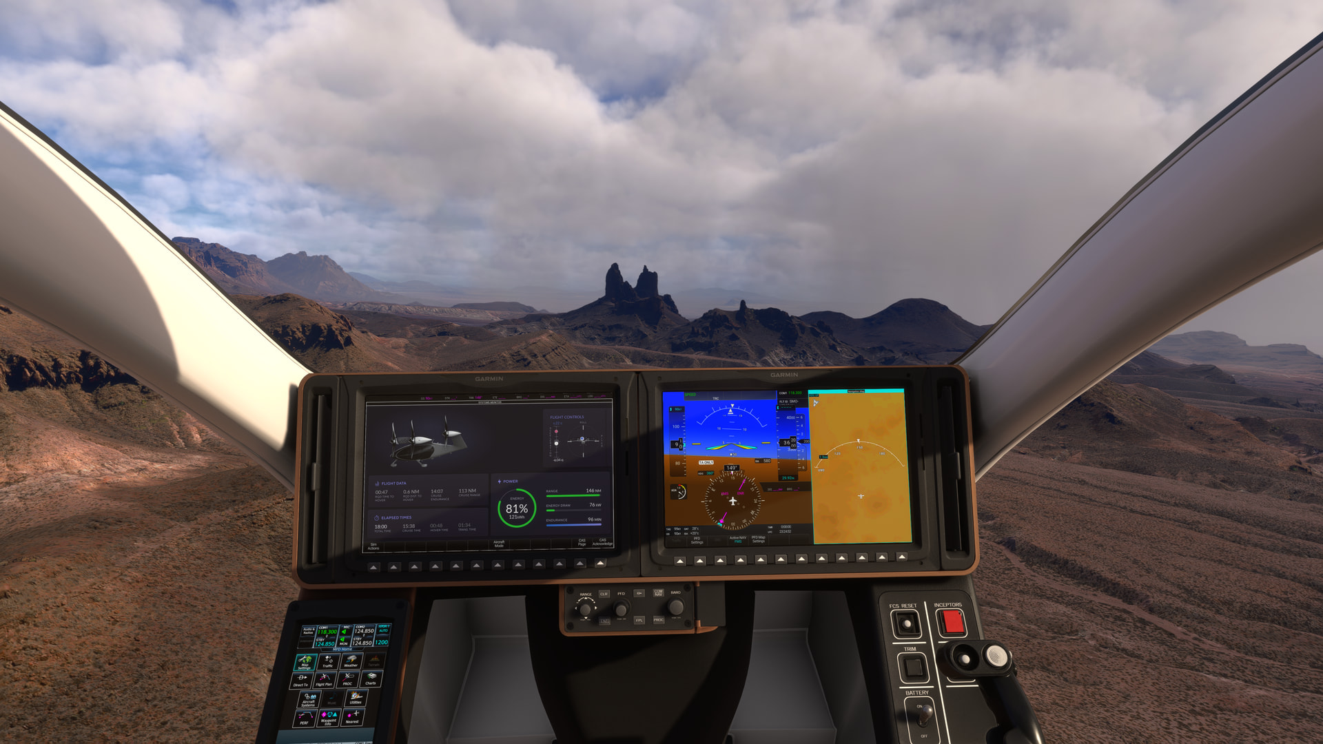

[MSFS 2024 SU6 Beta v1.8.8.0, live weather, BijanStudio Seasons Enhanced 2024 v4.5.0]
Part 4
Mule Ears Peaks are our waypoint to turn east and follow the cliff-face..:
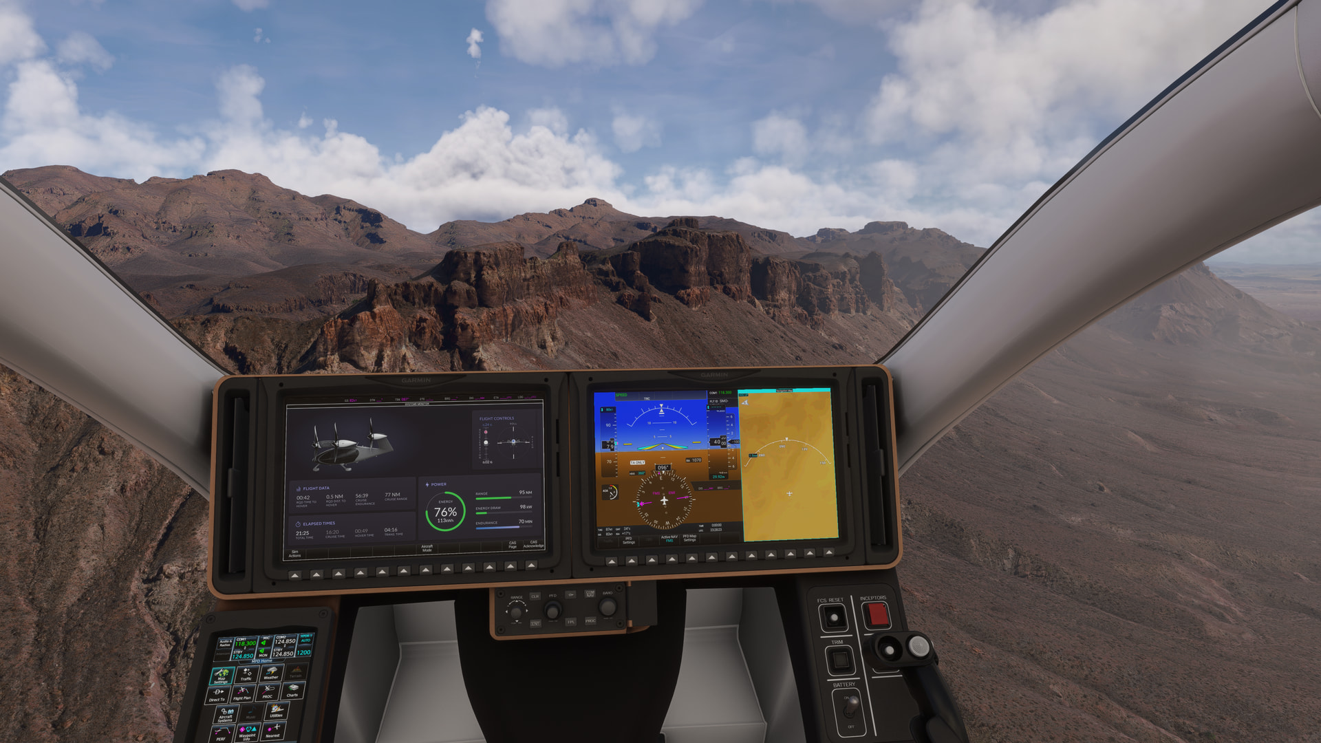
and over the pass at Dominguez Mountain to our next waypoint, Elephant Tusk:

Passing Elephant Tusk:
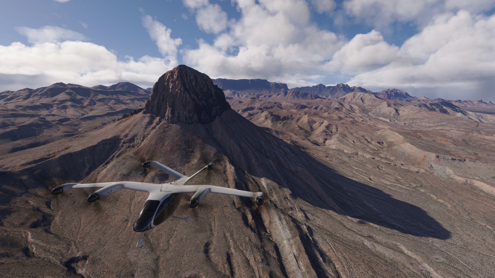
we continue to our waypoint at Cow Heaven, where we turn west to our next waypint at Triangulation Station Mountain.
Hmm - it appears that we’re going to get hit by a summer thunder-shower:
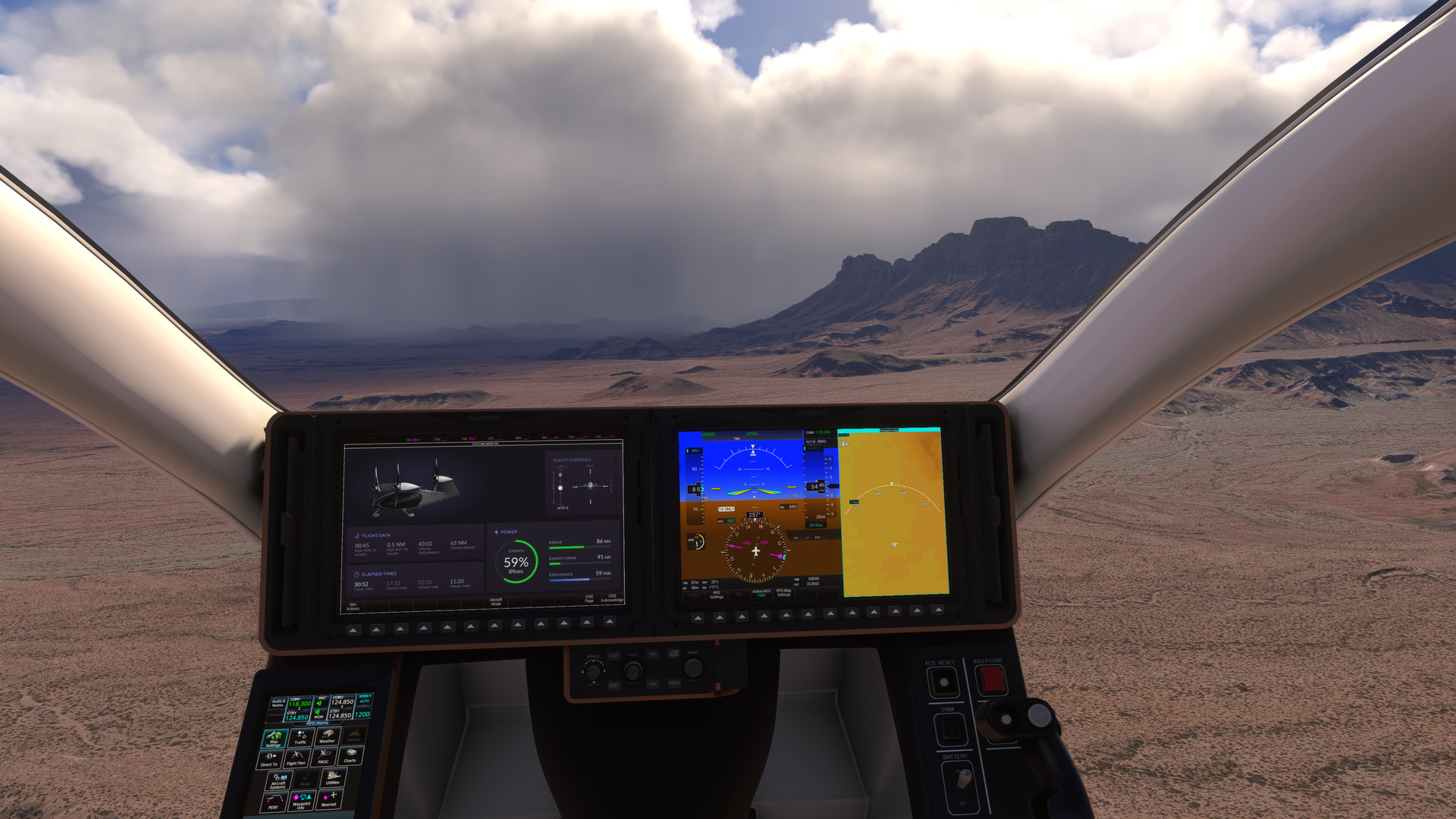
Triangulation Station Mountain:
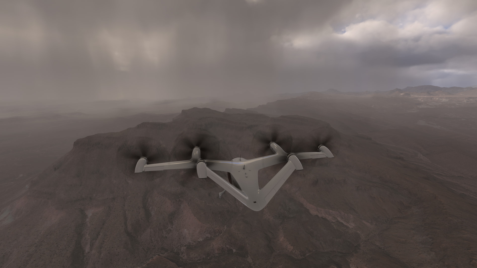
Another turn directs us to Cerro Castellan:
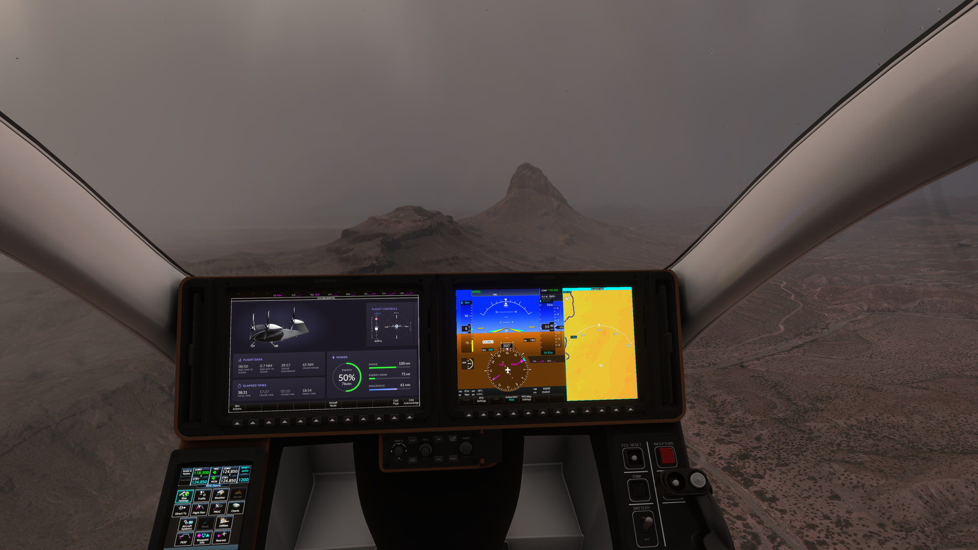
A steep rocky outcrop that is our last waypoint in the park:
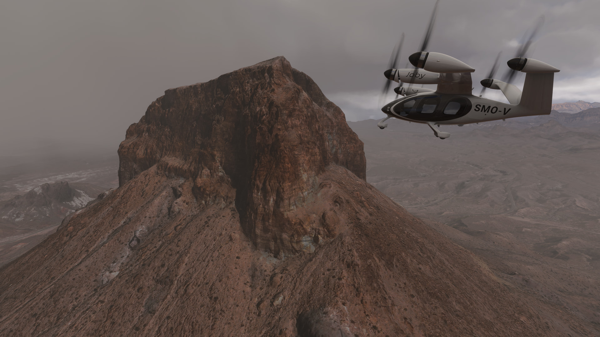
From here we head to our destination at Terlingua (3TE8). The airport is right alongside the road:

For a hover-landing on the runway:
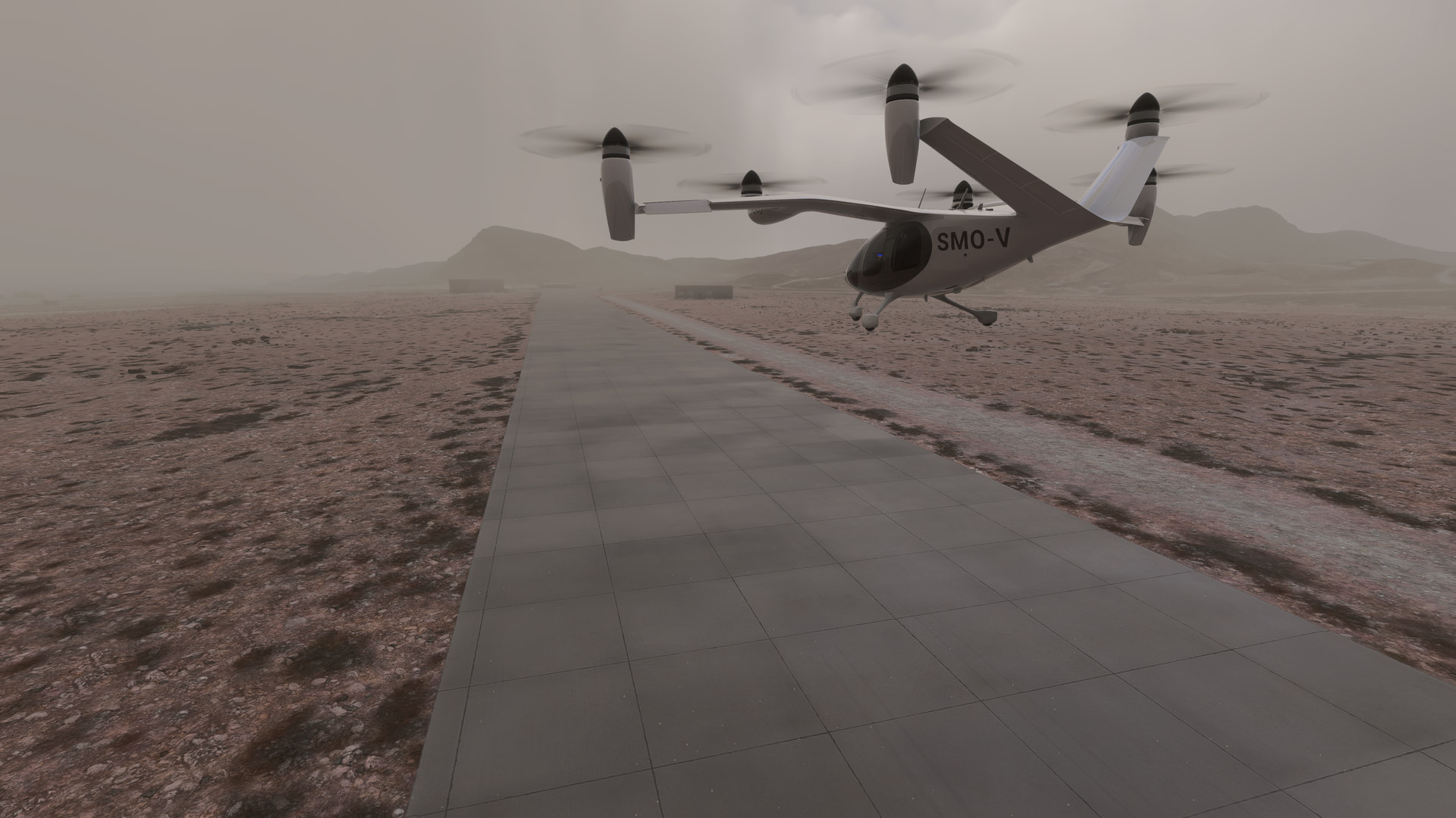
Typical! It’s raining & my ride into town has not showed up! I guess I’ll have to hitchhike there!
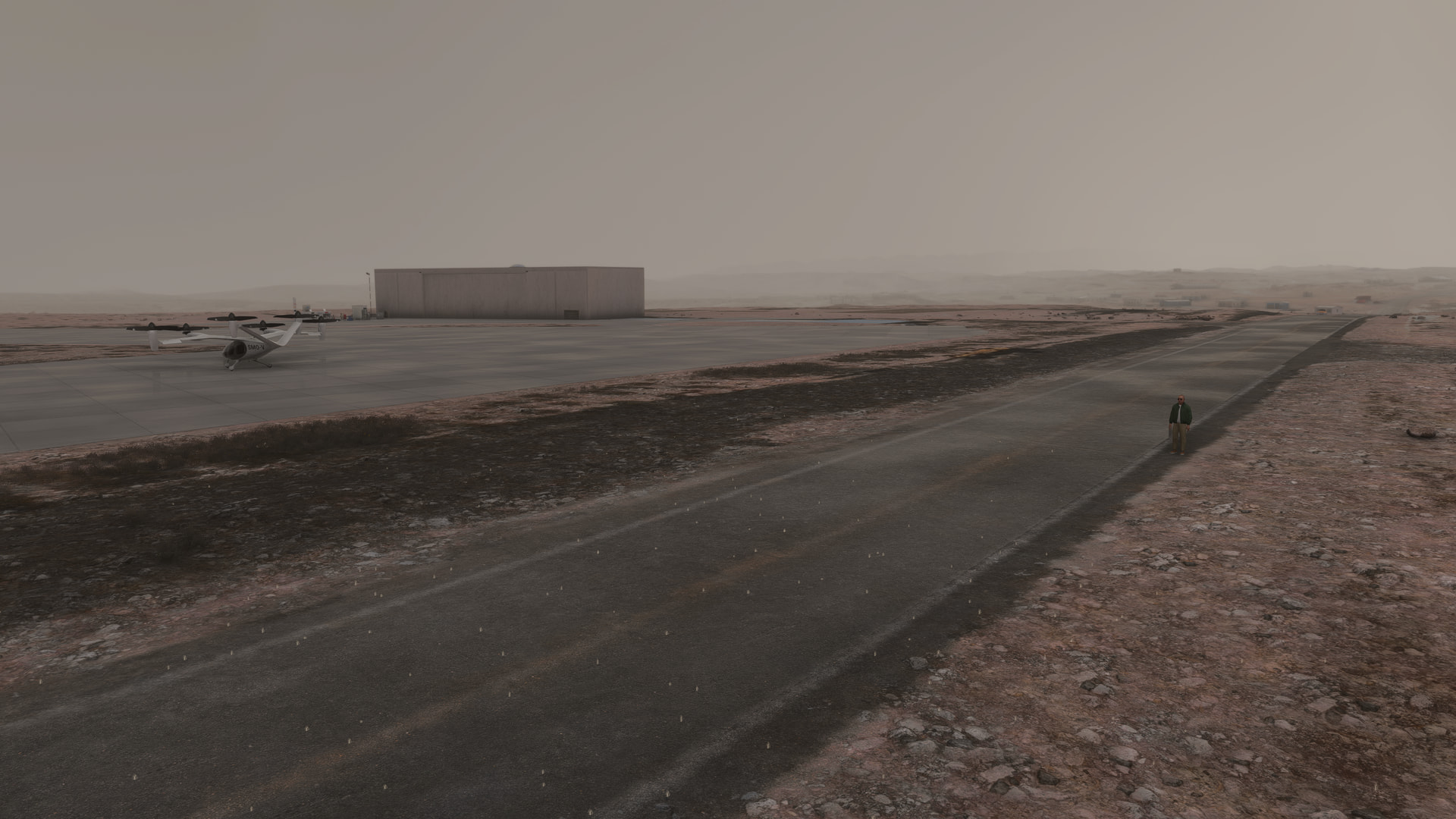
[MSFS 2024 SU6 Beta v1.8.8.0, live weather, BijanStudio Seasons Enhanced 2024 v4.5.0]
some random airline ops today with the carenado Carenado DO228
Princess Juliana (TNCM) to Saba (TNCS) to Princess Juliana (TNCM) to St Barthelemy (TFFJ) to Princess Juliana (TNCM)
The ai traffic is just brutal with so many good ai aircraft that we can’t fly as default aircraft 


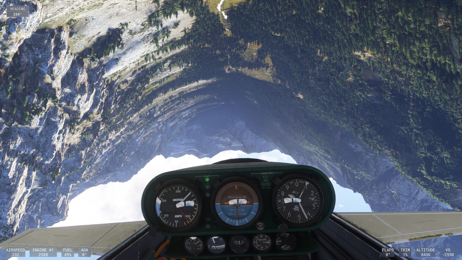
Nahata’ DzIIl (KI215) to Holbrook (P14), via the Petrified Forest National Park (WU22).
Here we are, back in the Joby. We’ve departed from the totally unremarkable & generic heliport at Nahata’ DzIIl (KI215) and are heading into the park. Pilot Rock, seen waaaay in the distance, is our first waypoint:
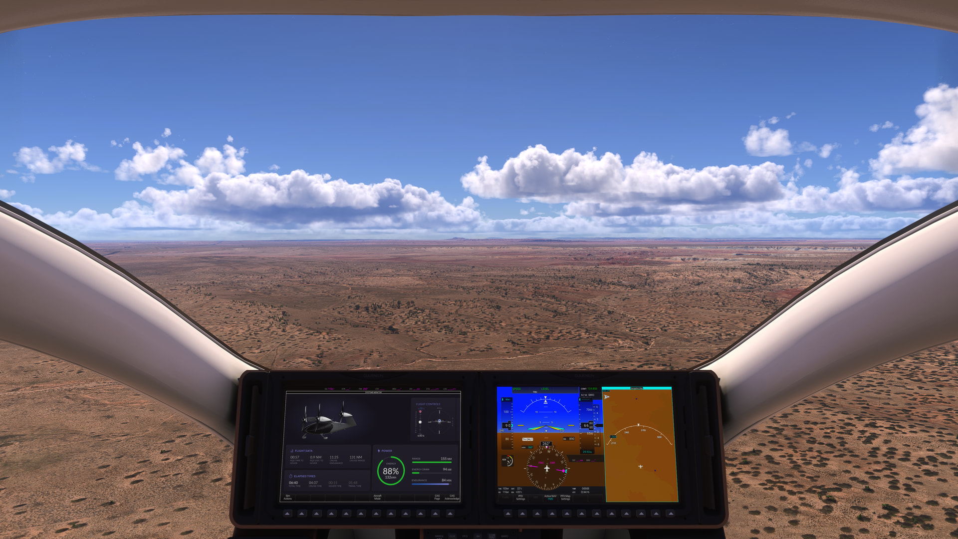
At Pilot Rock we turn to the southeast and head for the Painted Desert Inn POI:
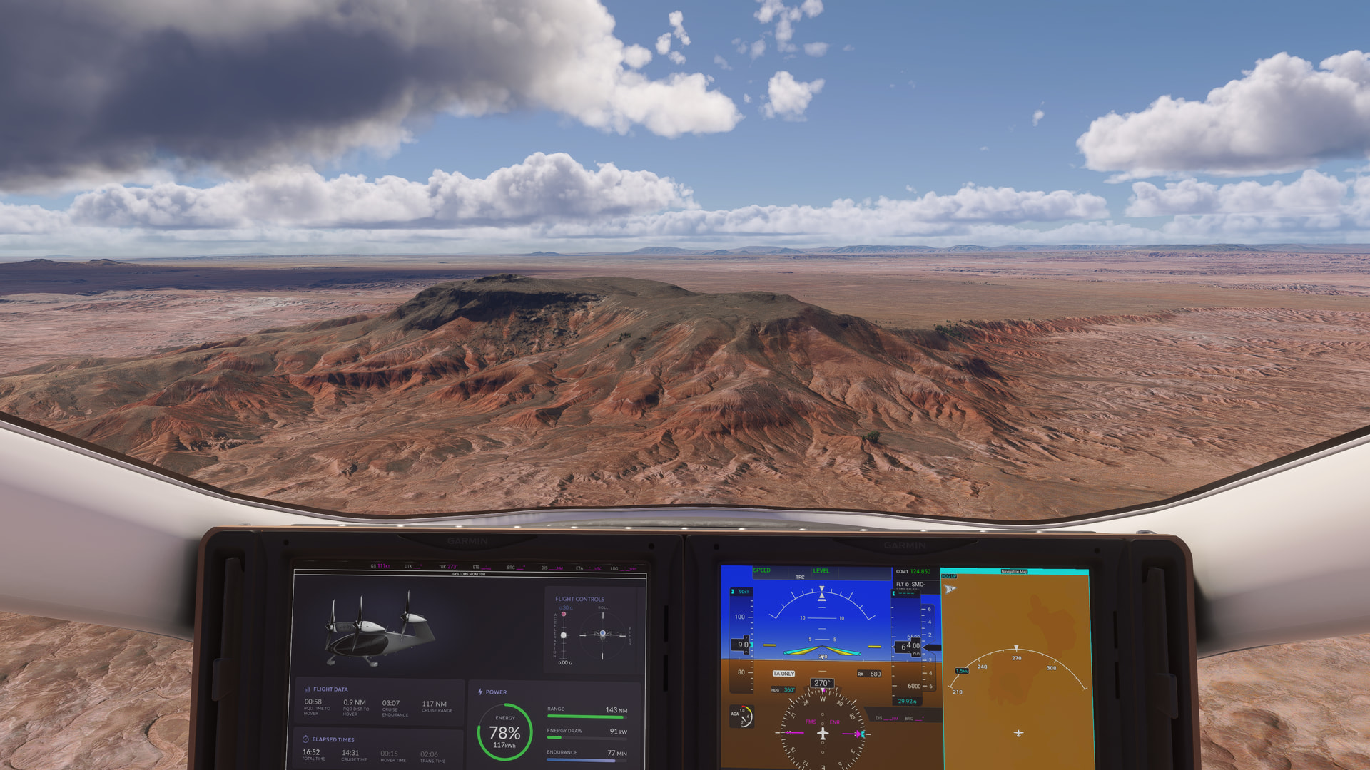
There’s a good spot to land right in front of the inn by the flagpole:
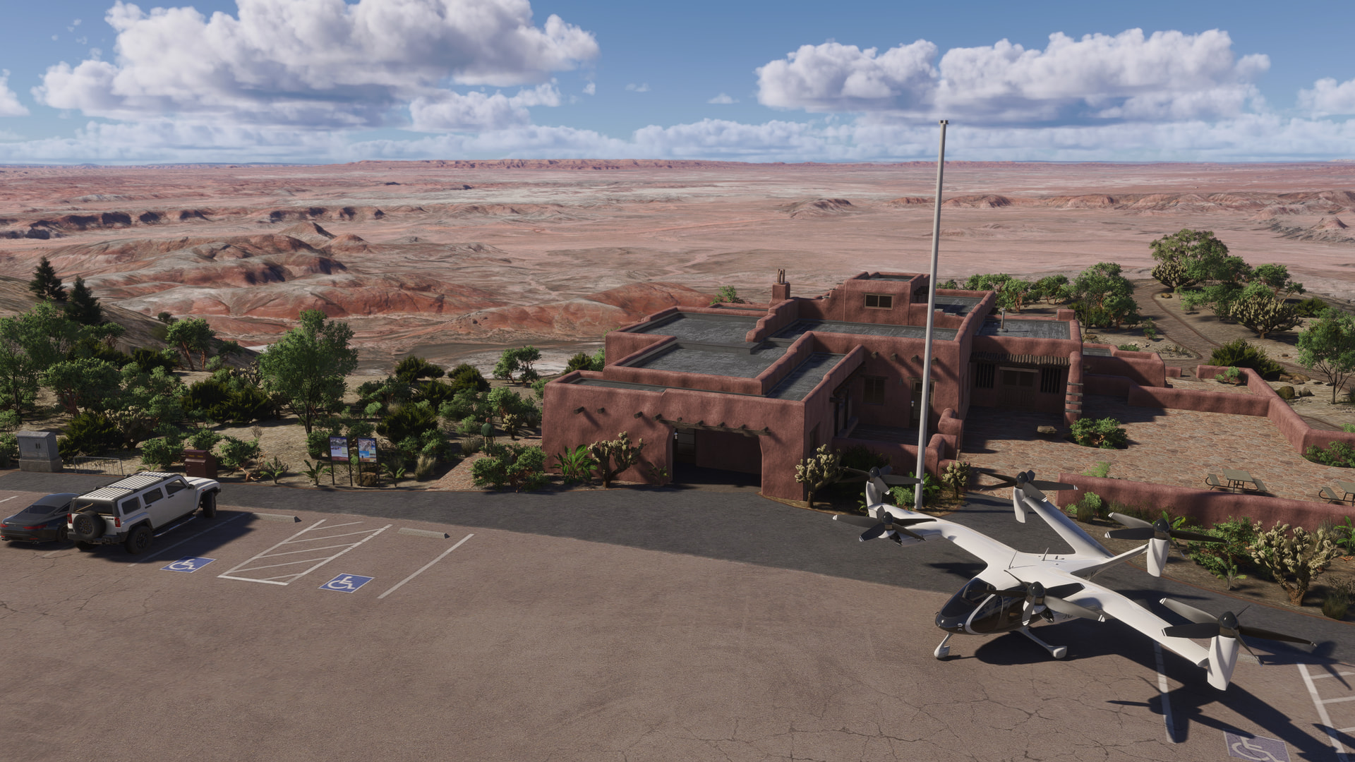
which is a nicely modelled POI set at the edge of a bluff with panoramic views, and surrounded by well-maintained cacti gardens:
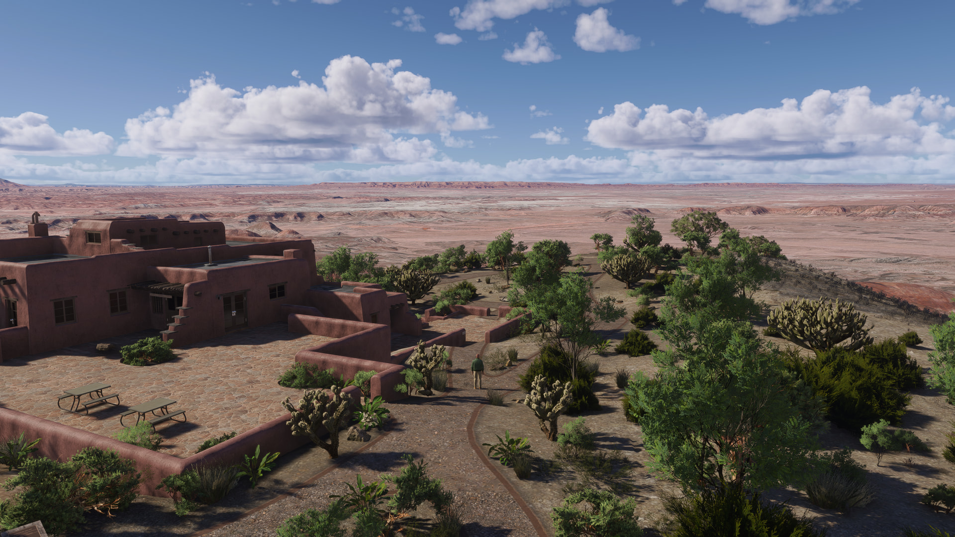
Back in the air, we join up with the main park road (Petrified Forest Road) and head south:

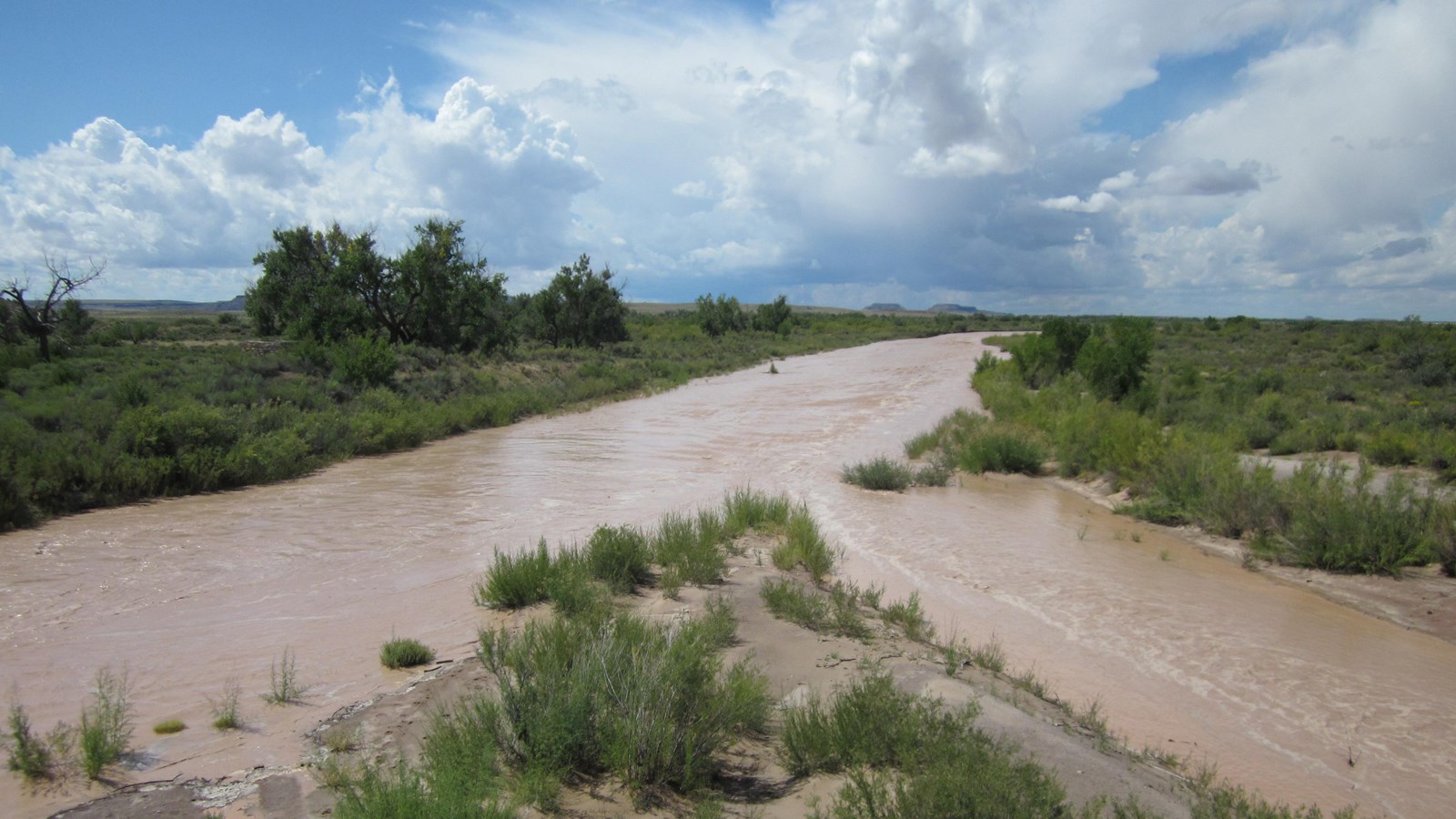
I used the map on the National Park Service Website and stopped off at the various audio pullouts shown on the map (the audio is unfortunately not available on the website). This is at PEFO Audio Tour North Stop 16 and South Stop 17:
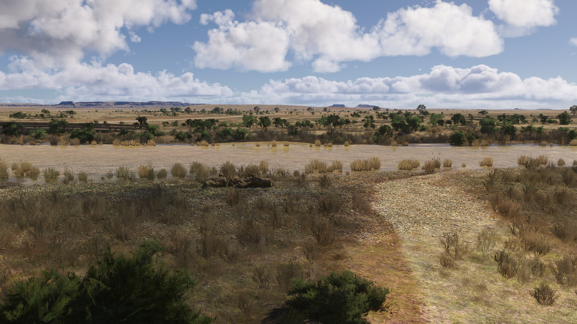
This pic from the Park Service website is what you actually see:
At the “Off the Beaten Path Billings Gap Overlook Route Stop 1” pullout::
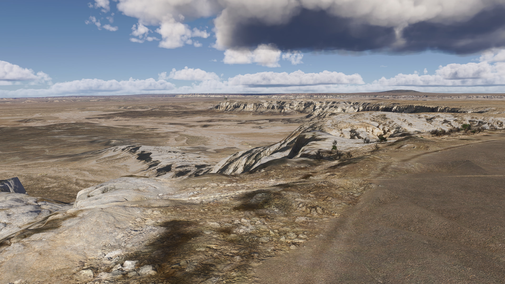
The main visitor center at the south end of the park is just generic buildings:
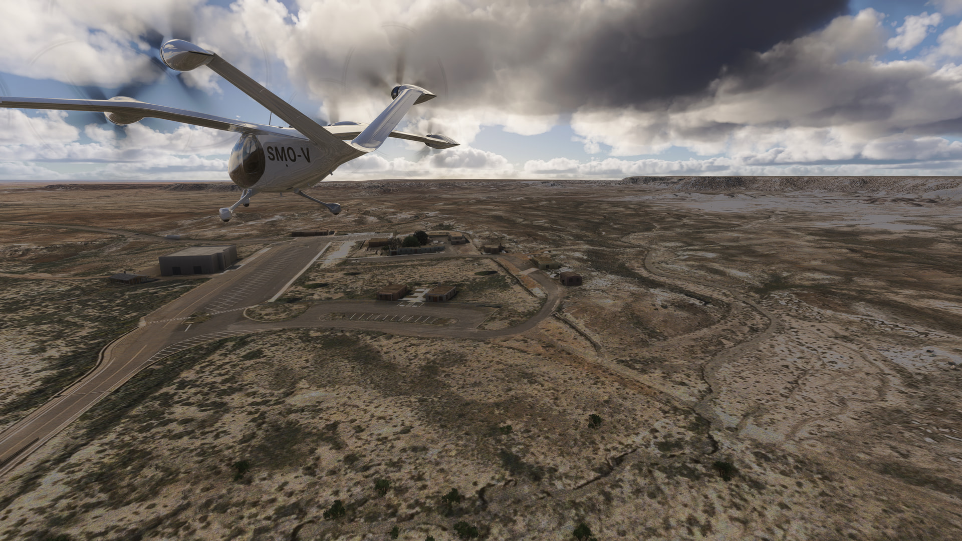
From where I made a bee-line to my destination at Holbrook (P14):
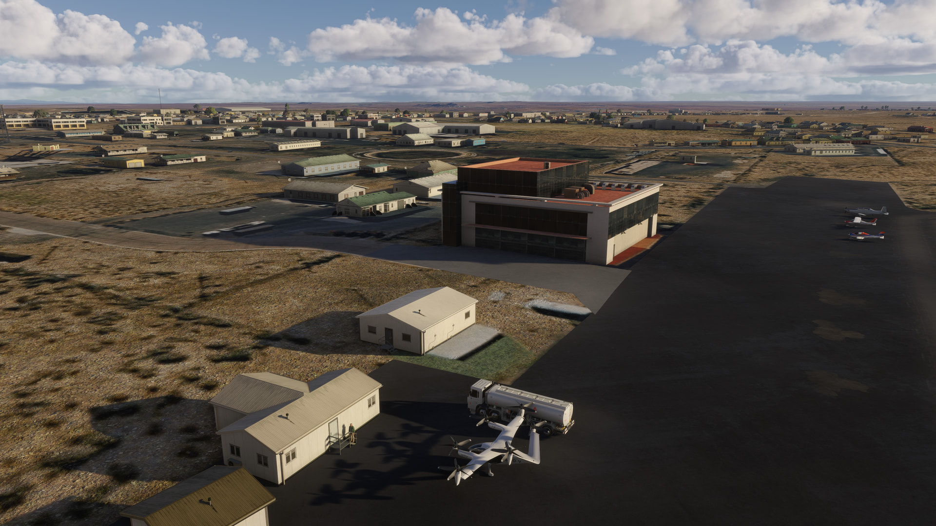
[MSFS 2024 SU6 Beta v1.8.8.0, custom weather theme]
Fitting in some more world tour flying this morning. Nice morning flight from Megara (LGMG) to Mykonos (LGMK).
Leaving the mainland back on my Greek Island travels.
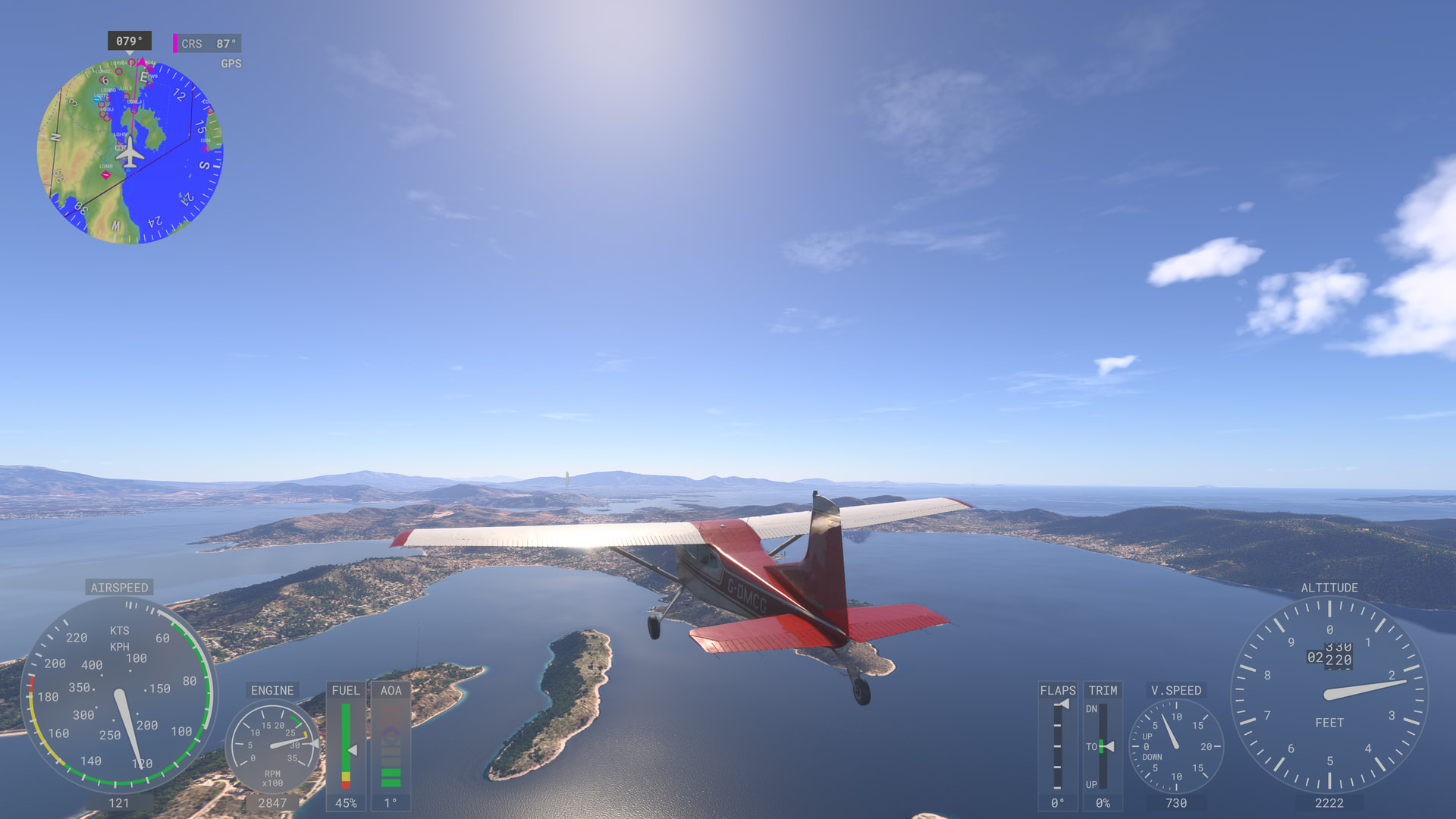
Heading over Athens.
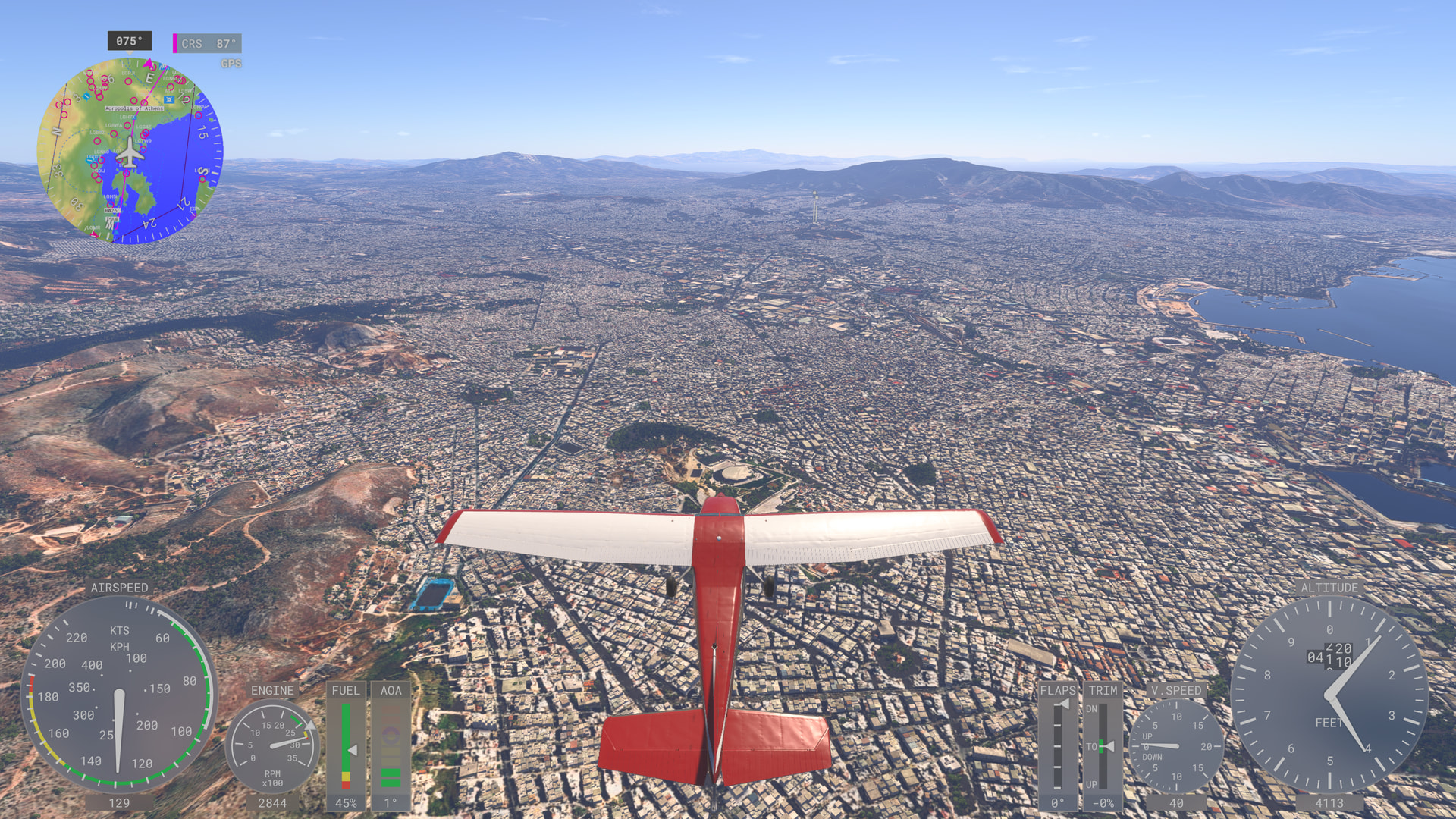
Had to get a glimpse of the acropolis.
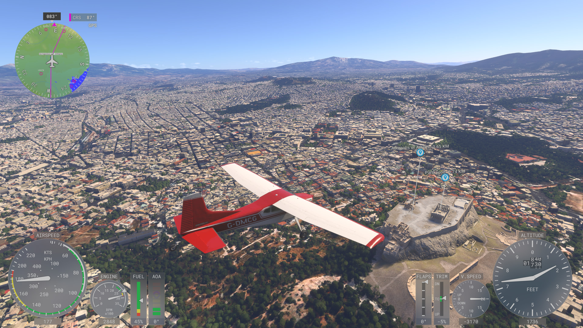
Heading away from Athens now.
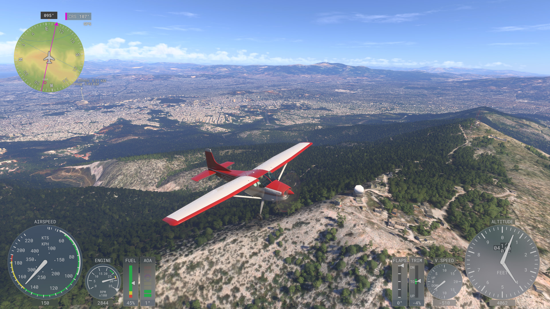
Goodbye Greek mainland!
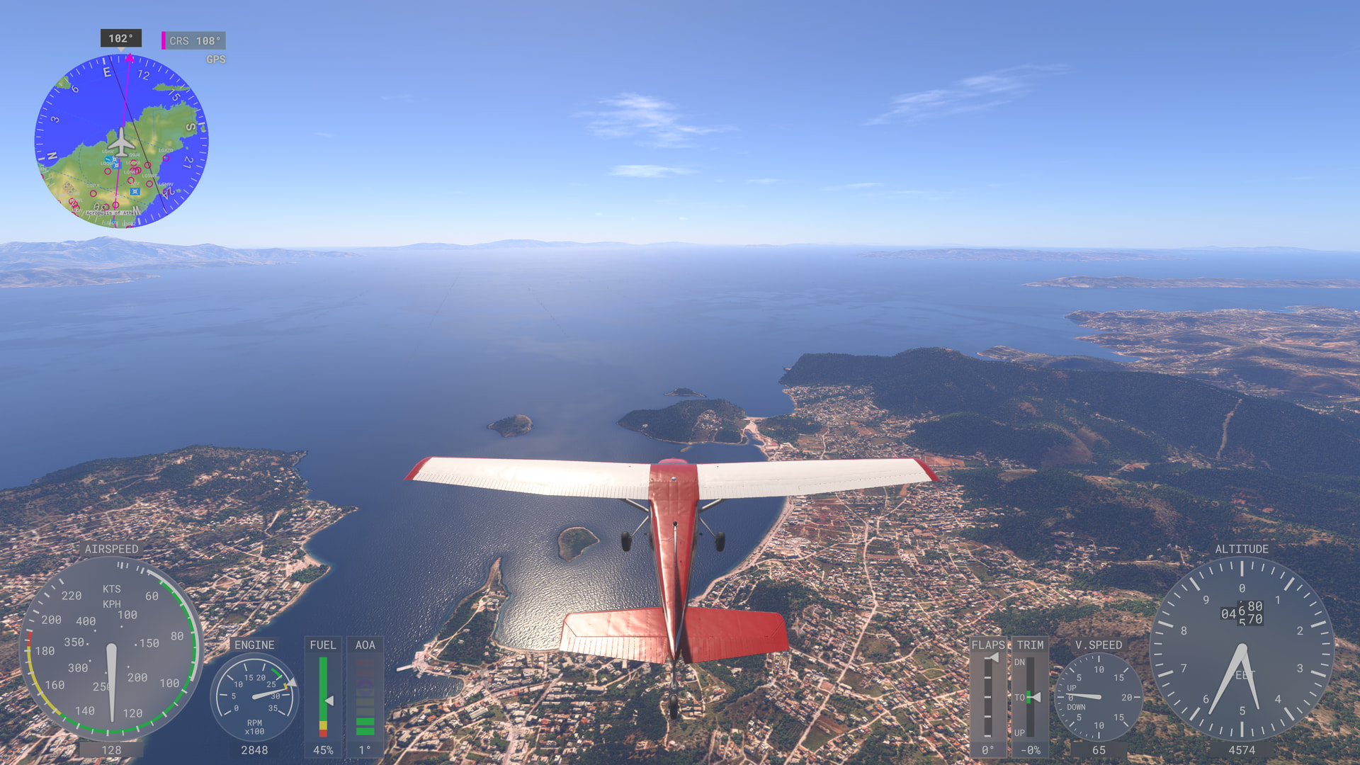
Not a cloud in the sky over the Aegean Sea, perfect!
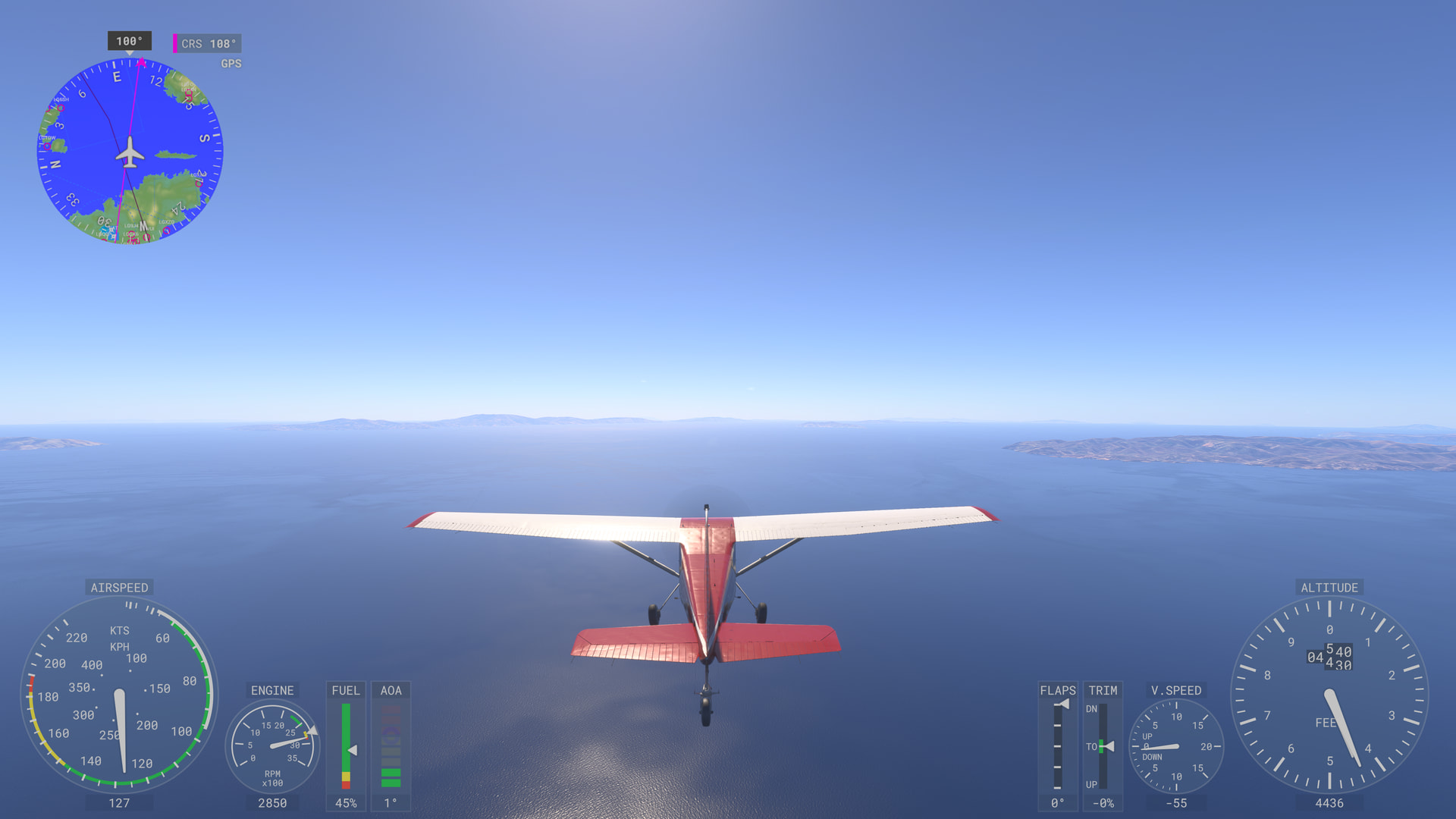
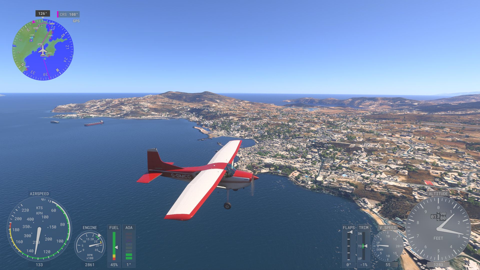
Coming into Mykonos.
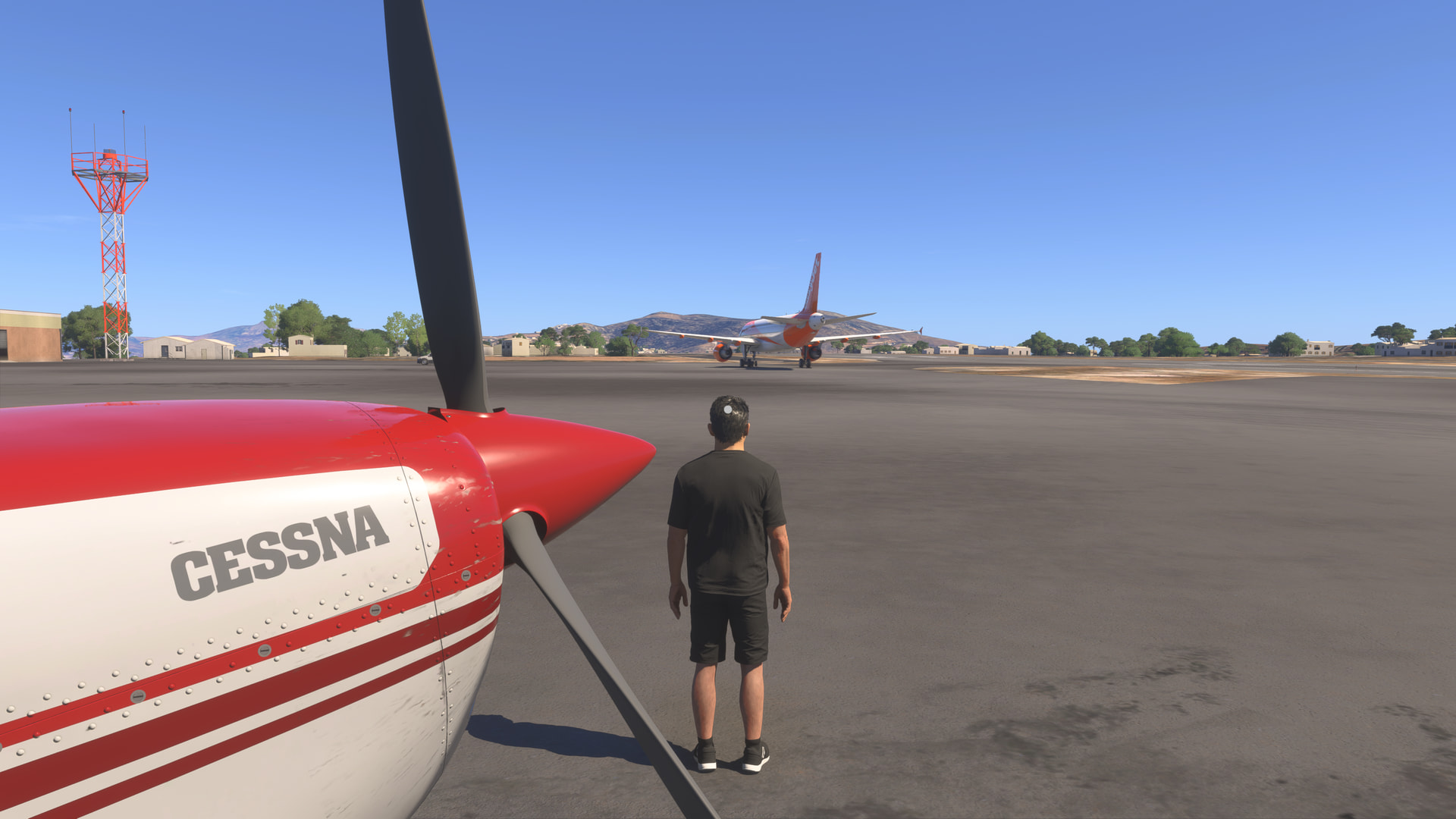
Managed to watch an Easy Jet flight take off just after landing.
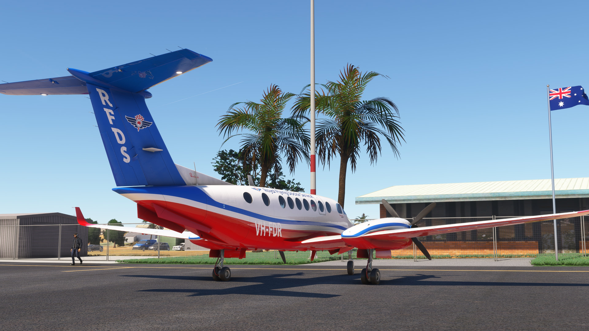
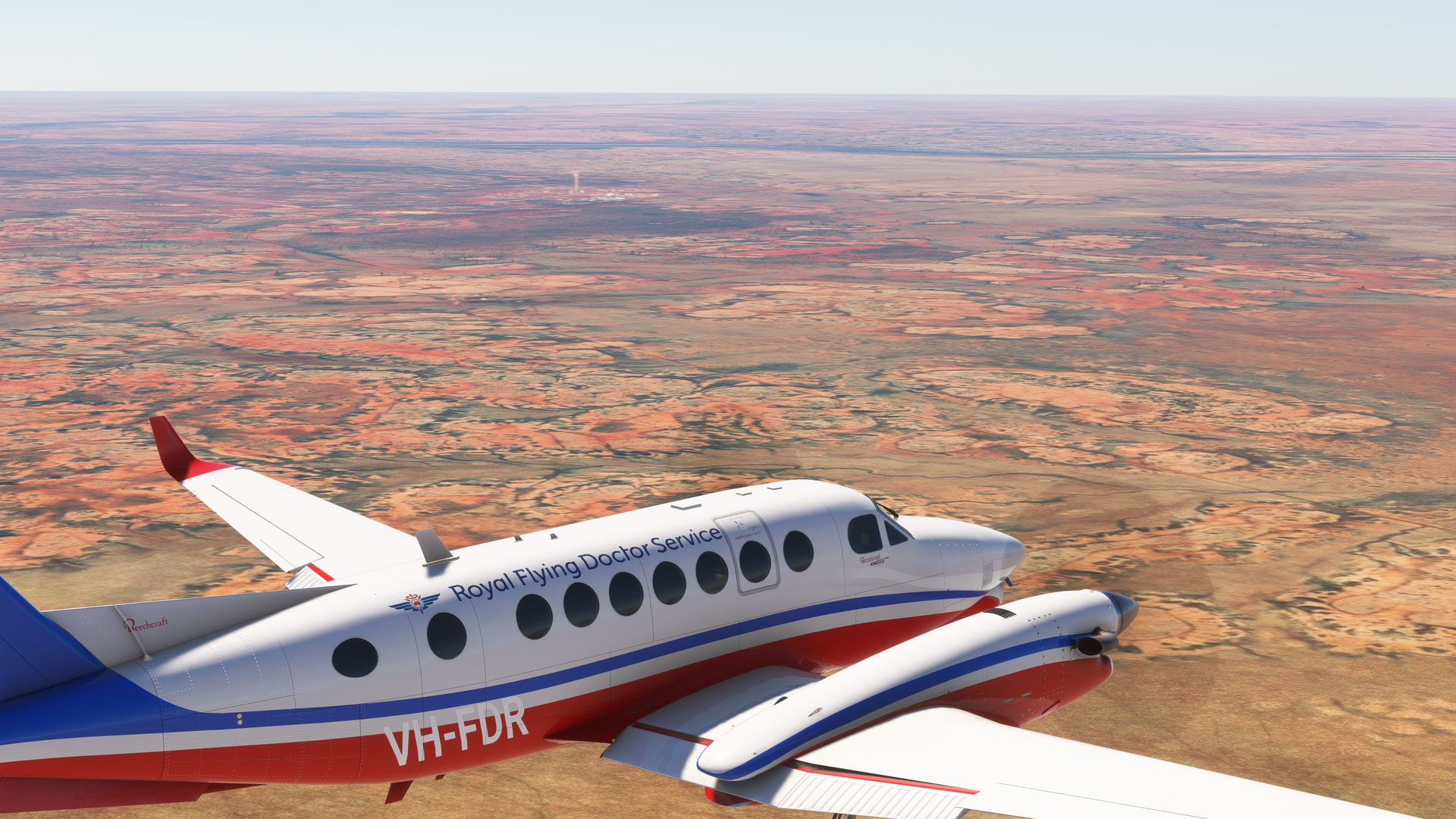
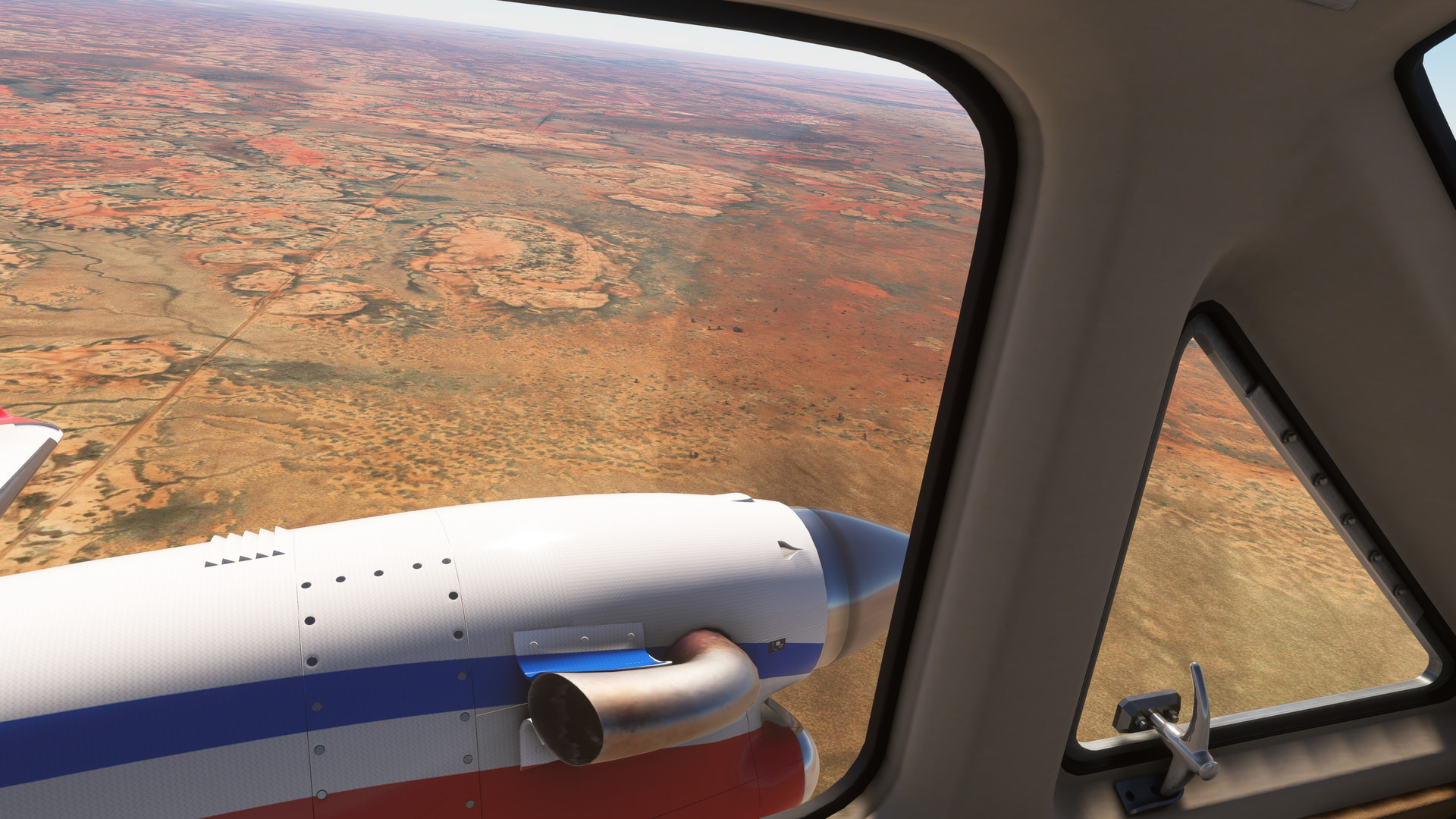
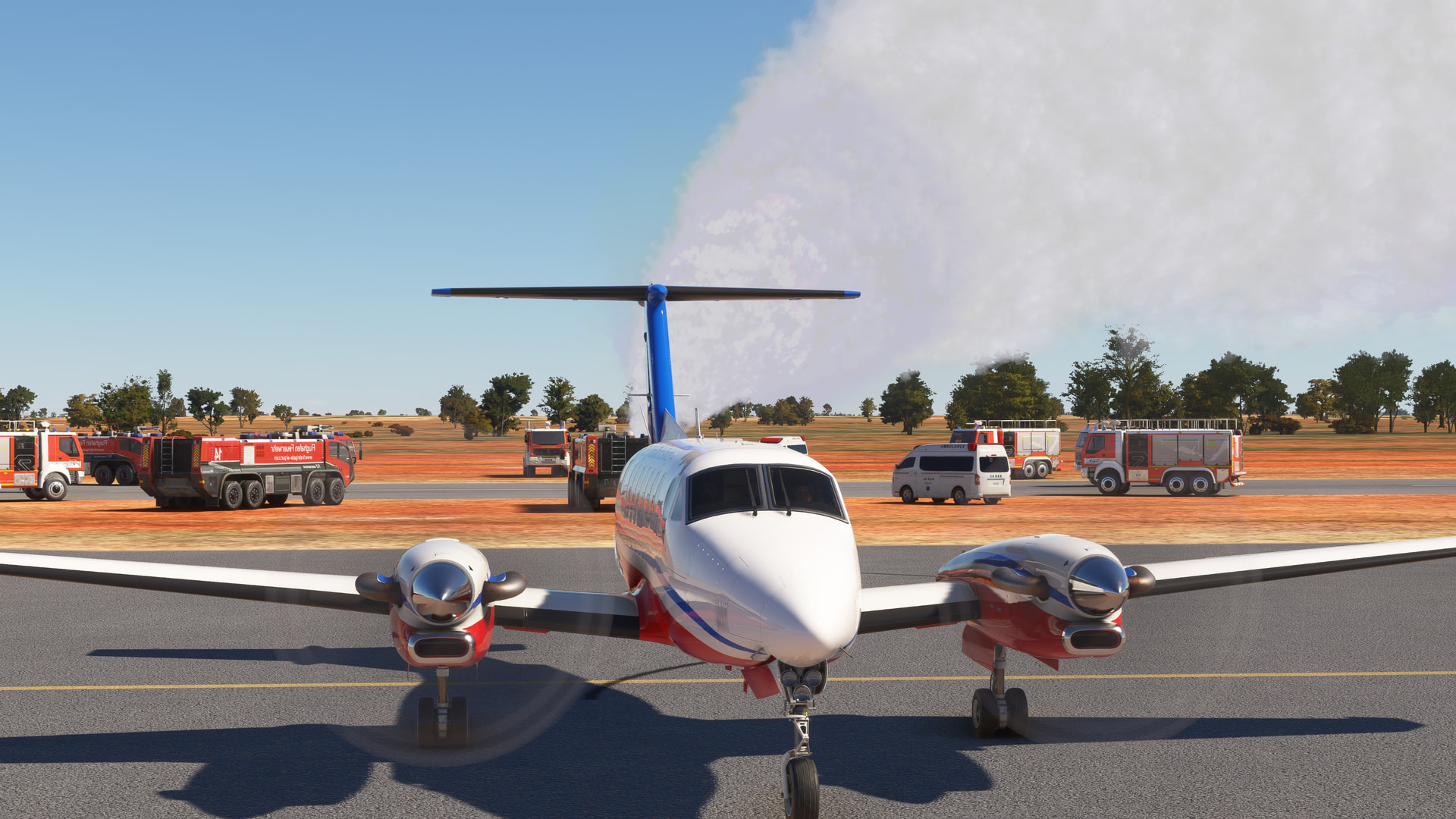
2020, on the way to Mount Isa from Tennant Creek, got a call for an emergency pick up at Alpurruralam. Say intentions heard my message incorrectly and, the moment I landed, I was surrounded by emergency equipment and was set on fire (it thought I was the emergency). Took advantage of the SI addition and made it look like we were part of the response - sheesh. Still, had this not happened, I’d not have a boring default airport to land at. It was also the first time I’ve seen SI’s emergency scenery, so that was cool.


Random airline ops in the DO228-100
Princess Juliana International (TNCM) to Point Salines International (TGPY)