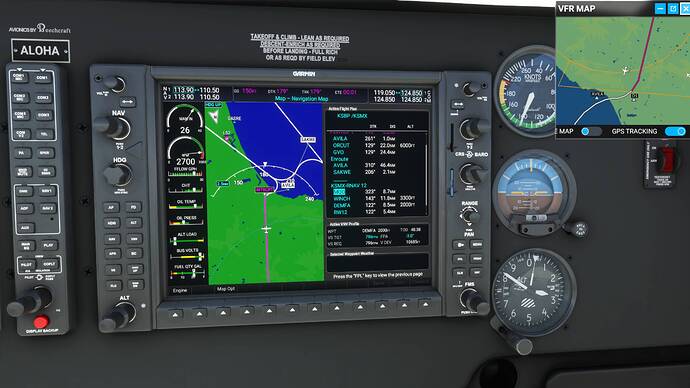
Today I (1) flew the Beech G36 from Santa Maria, Calif. (KSMX) to San Luis Obispo County Rgnl. (KSBP) for an ILS landing on RWY 11 at KSBP without a hitch; and (2) flew back to KSMX for an RNAV approach to RWY 12 and encountered many hitches – truly glitches – in setting up the flight plan, thanks to the G1000 NXi’s inexplicable logic.
First the ILS RWY 11 approach at KSBP. Before taking off, I followed all the steps previously outlined here: switch the CDI from GPS to LOC and set the LOC to the destination runway heading; set the heading bug to the same; check the FPL menu (no problems); go to the PROC menu and select the ILS RWY 11 approach (again no problems with intersections), and load it; and set NAV1 to the LOC frequency. After also setting the AP for my cruise altitude (4,000 for the CREPE intersection; didn’t need to go any higher along this route), I took off. Just prior to CREPE, I began descending to 2,300 ft., 100 ft. below the 2,400-foot altitude prescribed at the final approach fix to be sure of catching the glideslope. The NXi and the AP did catch it, much to my satisfaction.
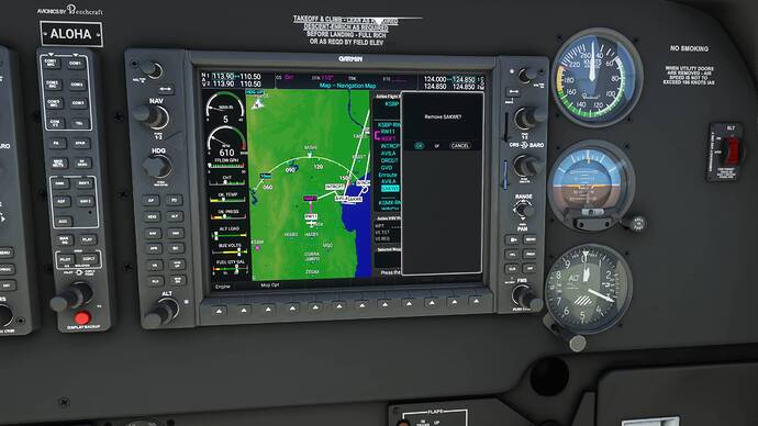
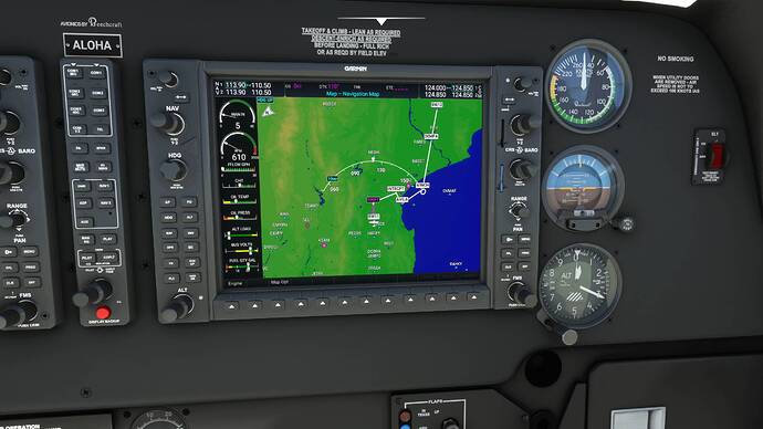
Trying to return from KSBP for an RNAV/LPV approach and landing on RNAV RWY 12 at KSMX was a different story. First the FPL glitches. The following screenshots are worth thousands of words. I had already taken off from KSBP when I took a wider look at the MFD map and saw this:
What the … .? Obviously, this was not the way to Santa Maria. I had to fix this. I started deleting extraneous and literally misleading waypoints, one after the other. SAKWE was the first one to go.
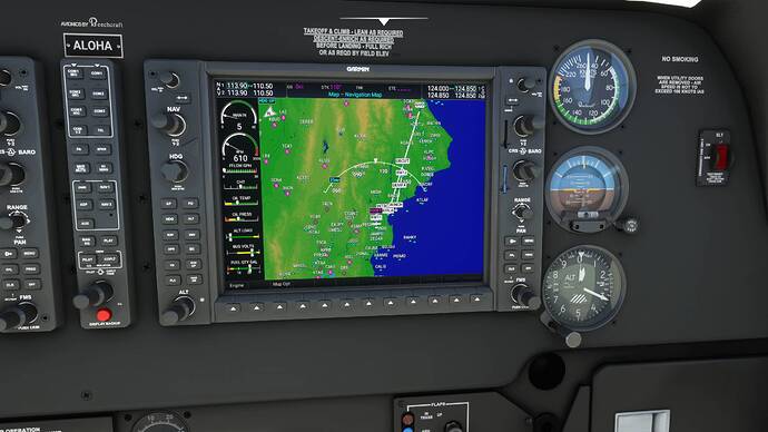
That left me with this:
I was either going to end up in Santa Maria or the Gaviota vicinity, or both. Back to the FLP menu…
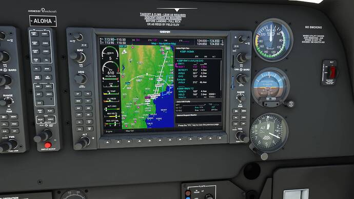
Got rid of GVO
Now I had a reasonably sane FPL for KSMX…
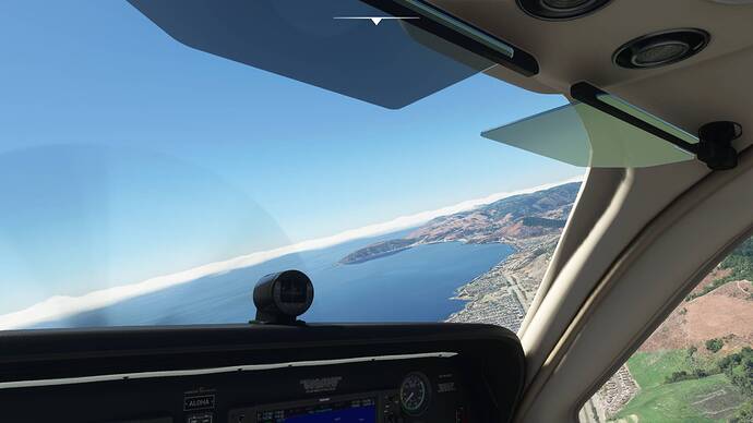
So I took off…
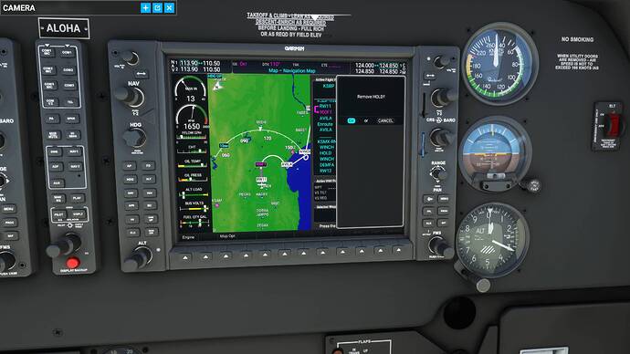
And I soon found myself orbiting offshore of Avila Beach. Because of this HOLD I’d missed …
I went with it for awhile, think it was there so I could gain altitude, but when it looked like I was going to be stuck there, I bailed and started over again. After repeating all the previous steps, I got rid of this last glitch …
And I was finally on my way to KSMX, where, because I didn’t shed enough altitude soon enough, I was too high to catch the VNAV glidepath. I hand flew the G36 to the runway and restarted the flight, determined to get this VNAV-final-approach stuff right, which I did manage, once out of several tries.
My takeaways from today’s adventures and misadventures in sim flying: (1) You have got to check the “small print” in the G1000 NXi’s flight planning before you take off, lest the Garmin throw you a curveball – or two, or three; and (2) like ILS glideslopes, VPATHs are very sensitive. If you’re too high at the VNAV equivalent of an ILS final approach fix (the one with the Maltese cross on the approach plate), you won’t catch the VPATH. Oh, and one other thing: After you reach the correct final-fix flight level, be sure to change the AP altitude setting to the approach minimum to give the autopilot “permission” to follow the glidepath once it captures it.
I expect a lot of people here know all this stuff already. I just wanted to share what I’ve learned.
Good day.
