Thanks for the latest update. Cured the freezing issue I had when turning on to approach.
1 Like
Hi all
Wondering if someone can advise? I’m creating a flight plan in the G1000 NXi but i get no option form ATC to file said flight plan. Is there something i am missing or is it just not able to be done at the present time?
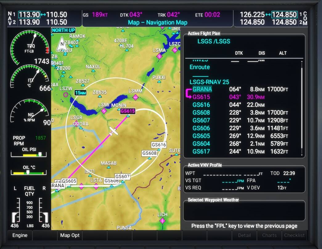
It seems distance on the FPL page doesn’t update with time – is it supposed to?
Note the distance left in the PFD versus the flight plan on the right. The flight plan shows the original distance.

The approach also ended after that waypoint, not sure why. I had to switch to an ILS approach which brought me another 60 nm(!) south to get to the airport.
Edit: After changing to the ILS it didn’t capture the localizer. I tried again to switch to heading mode and intercept it, but it kept going straight ahead despite LOC being green (and AP on). In the end I had to disconnect AP and land manually.
I find it weird that I’ve had these bugs when upgrading (similar with 0.2.0), but have then had everything work the days after… Will try to delete the compiled files etc. – Doesn’t seem there are any?
Thanks. No longer getting CTDs with the NXi so you must have been right on the money with that solution.
Looks like you initiated a Direct To to RIPTU. I don’t know if it is a bug, but the flight plan will suspend when you get there. A better way is to select RIPTU then Menu > Activate Leg. This will allow the unit to sequence to the next waypoint when you get there.
(There is also a SUSP button on the bottom of the PFD that might have worked in your example as well.)
How do you pan the map? In the default G1000 it works as advertised but I can’t get panning to work in the NXi. Is there a different technique or mouse setting I need to enable? I tried searching the thread but nothing comes up for me.
According to the G1000 NXi official manual it is the same as on the G1000: push the joystick (button) and the map pointer appears. I guess this function is inop or we have both the same bug. Perhaps will it be implemented in a next release?? This is very annoying because it’s impossible to show the whole flightplan on the MFD.
Can you Zoom out?
Had to deliver some supplies so I got authorisation from the people in charge to fly a WT NXi equipped Cessna 208B into Sion LSGS via the RNAV (RNP) RWY 25 approach.
The system flew the VADAR arrival and VNAV/APPR all the way down from 17000 ft to the ~3050 ft decision altitude. ![]()


3 Likes
Great news! I will give it another go. Will ILS approaches work this time around? Specifically, when you get to the intersection where NAV1 picks up the LOC signal, will the PFD switch from GPS to LOC (or if not, can you do it manually), and will the autopilot capture the ILS glideslope?
I cant get my system to do ANYTHING but straight direct to’s… WTF am I doing wrong? I try everything the dudes on YouTube do… your gig looks awesome and I want to try, so what gives? 1st I have the the premium and deluxe both installed for some reason?.. is this causing a issue?.. does anyone know?.. I bought the full issue

Premium and Deluxe packages are the additional content (airplanes and airports) that you purchased in addition to the base MSFS 2020 product.
Do you have the free early-access “Working Title G1000 NXi” installed?

yes, I can’t figure this out… I will though…
Of course I can, but it does not replace totally the pan function. If for example the destination airport of a short flightplan is located on the right side beyond the edge of the screen, I can see the entire route but by zooming out but the scale is so reduced that I can’t see any detail. Further I can’t understand why this basic function does not exist since the beginning while it is fully working by the G1000 classic. Anyway, thanks for your help.
1 Like
Nice!
How did you do that? You inspired me to try this approach.
I’ve selected the RNAV25 GRANA approach, but in the flightplan i’ll see only square corners, no arcs. Also waypoint GS616 is bypassed.
Tips?

I’ve figured it out.
Had to manualy remove old navdata form expired Navigraph subscription.
Now the flightplan is correct.
2 Likes
Anyone know how to change the comm channels so they use 0.025 increments?
I thought it was on another MFD page in the original G1000, but I can’t figure it out in the NXi.
Thank you
The G1000 NXi is not a mod, it’s a brand new product built entirely from the ground up.
Map cursor and panning has not yet been implemented.
-Matt | Working Title
1 Like
I just flew the complex RNP runway 13R approach at Palm Springs KPSP, and the NXi tracked the horizontal and vertical profile perfectly. Very pleased and impressed with the NXi
Hi all, I am troubleshooting a conflict where I get the NXi’s PFD but the old MFD display. GTN750 and WTG1000 is not active. Any other known conflicts or mods that can do this?