Around the World in a Kodiak (and a few others)

Evening all!

Very long time flight simmer (All the way back to Sublogic’s FS 2.0 in 1984, far enough back eh?) but first time poster here.

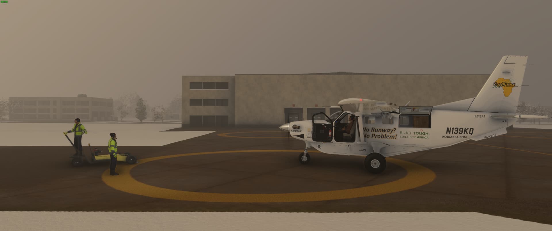
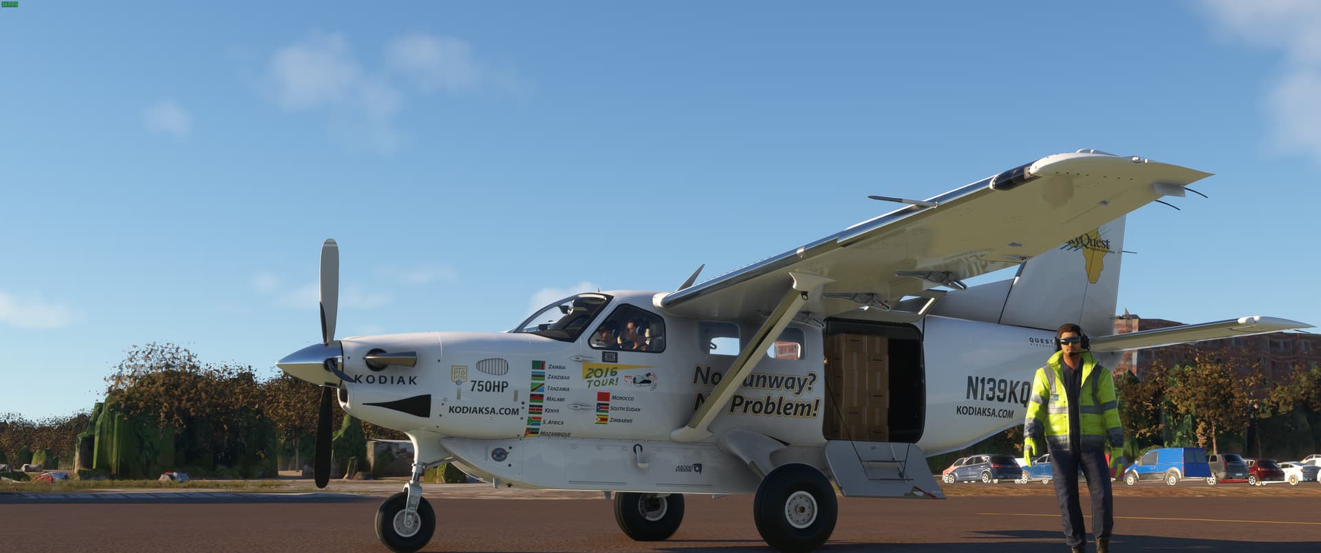
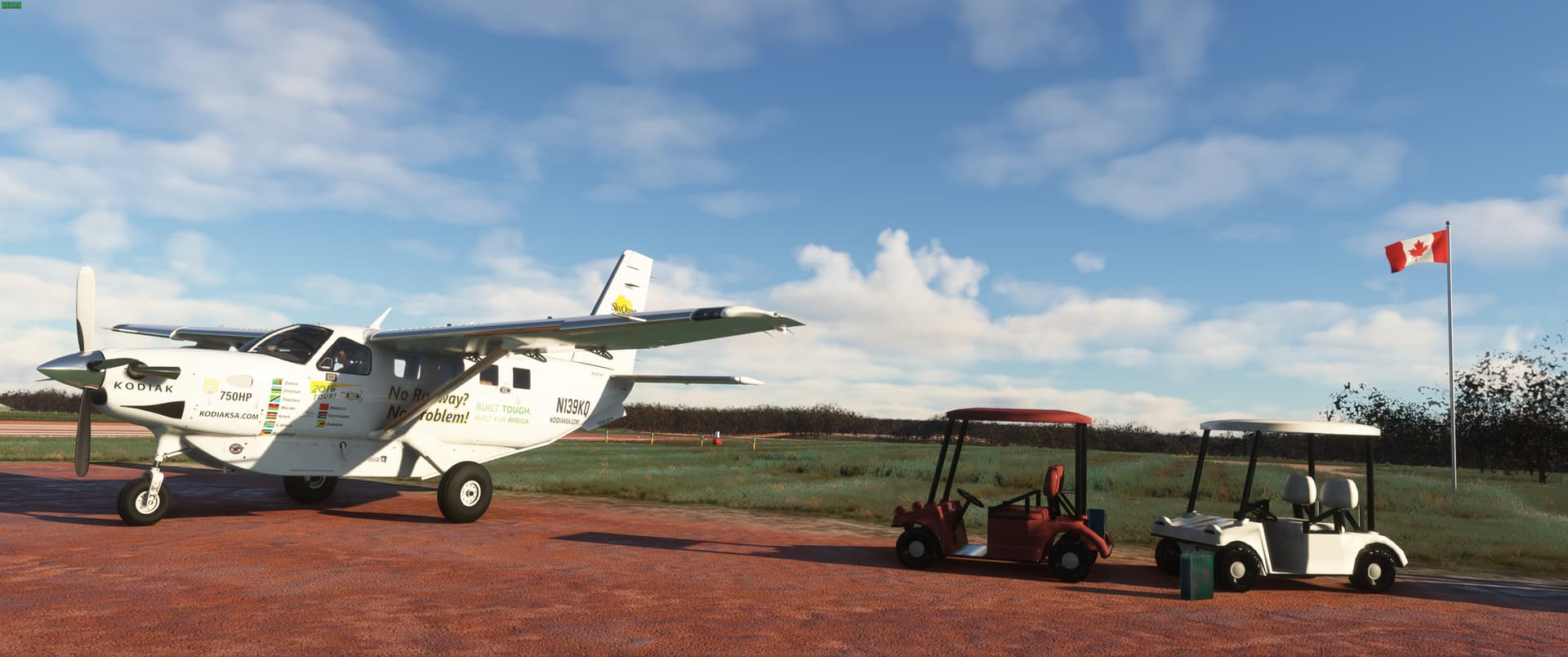
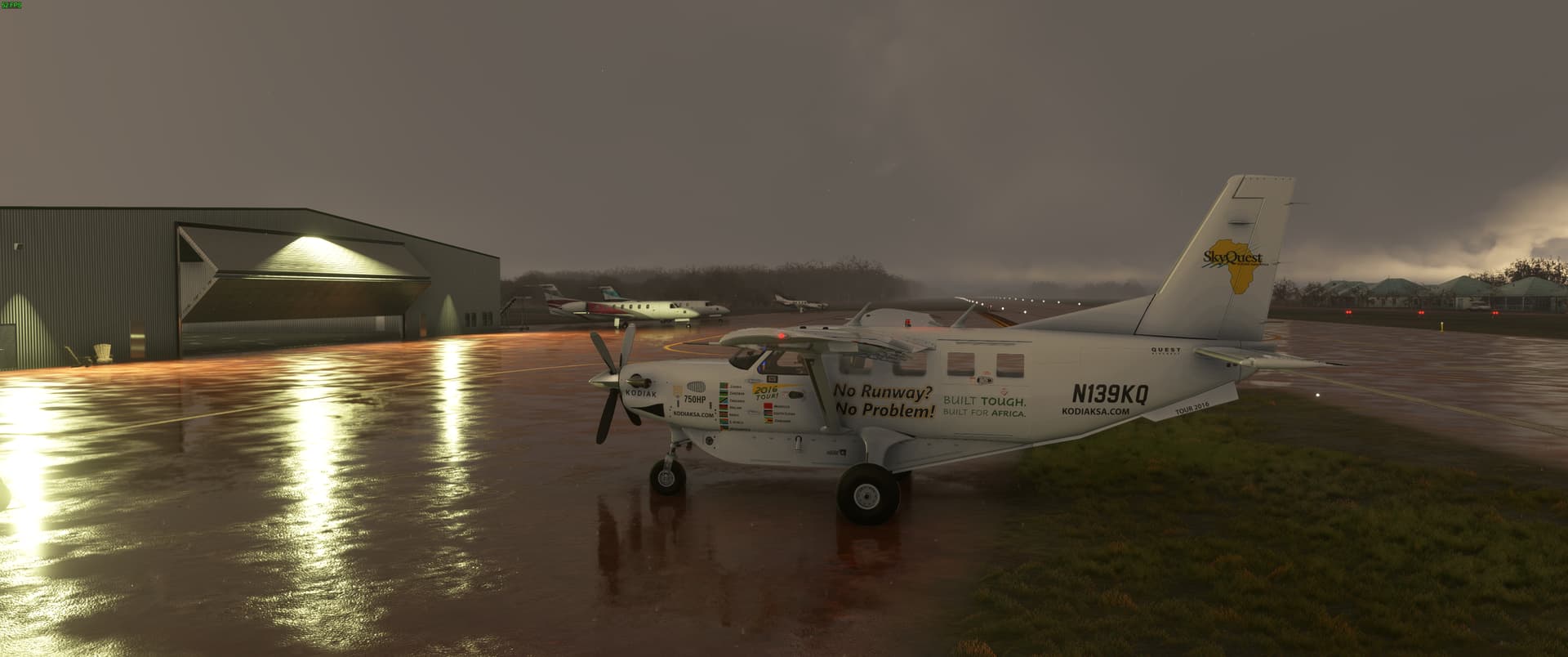
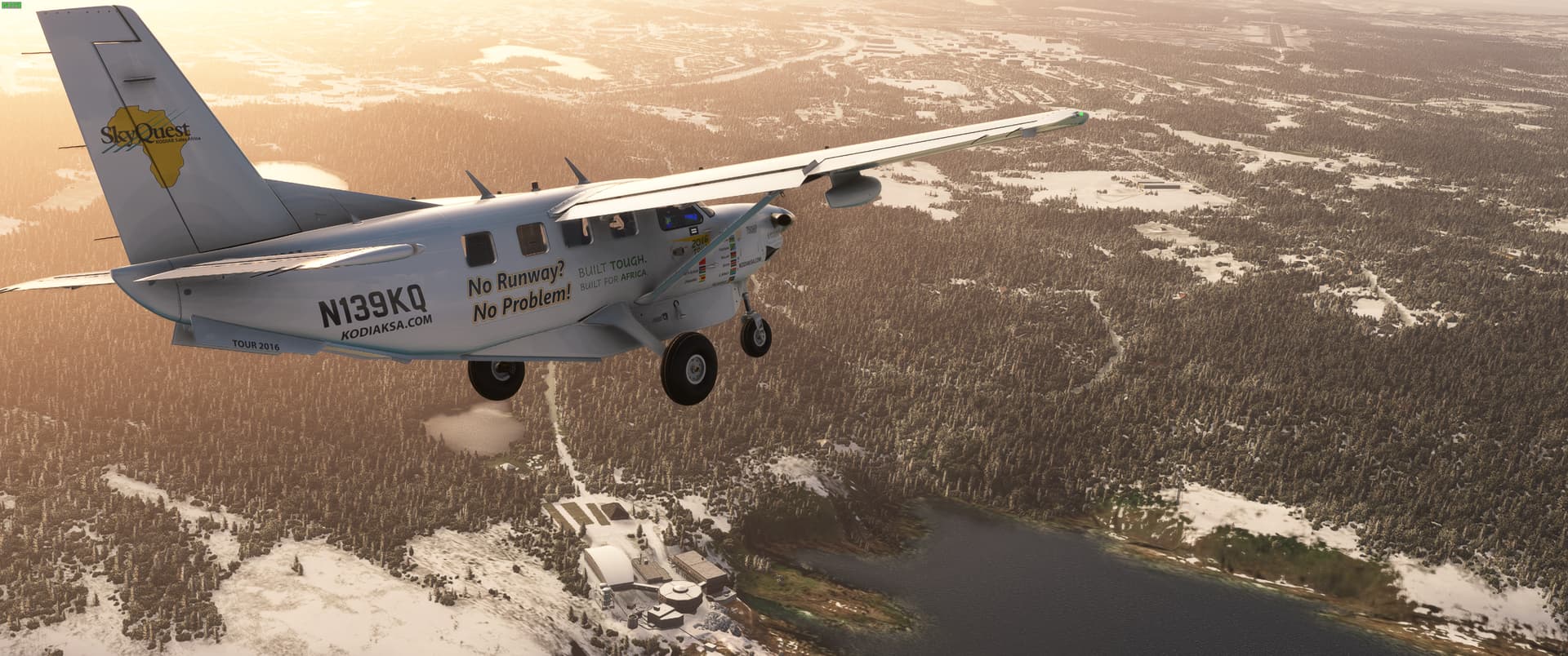
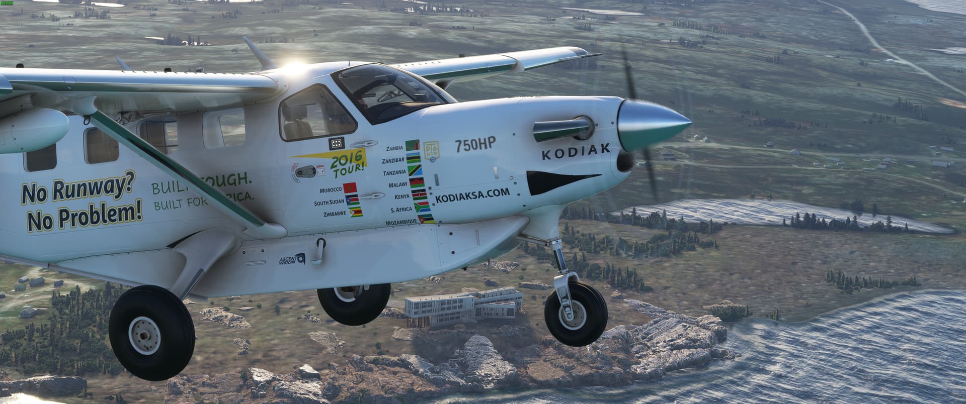
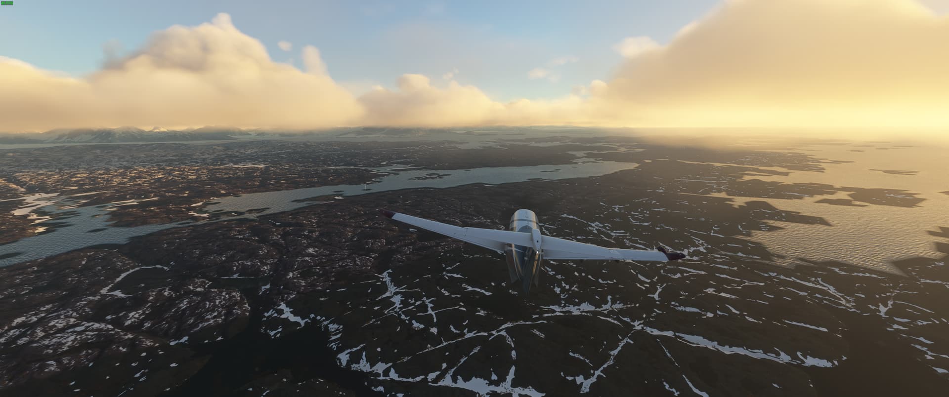
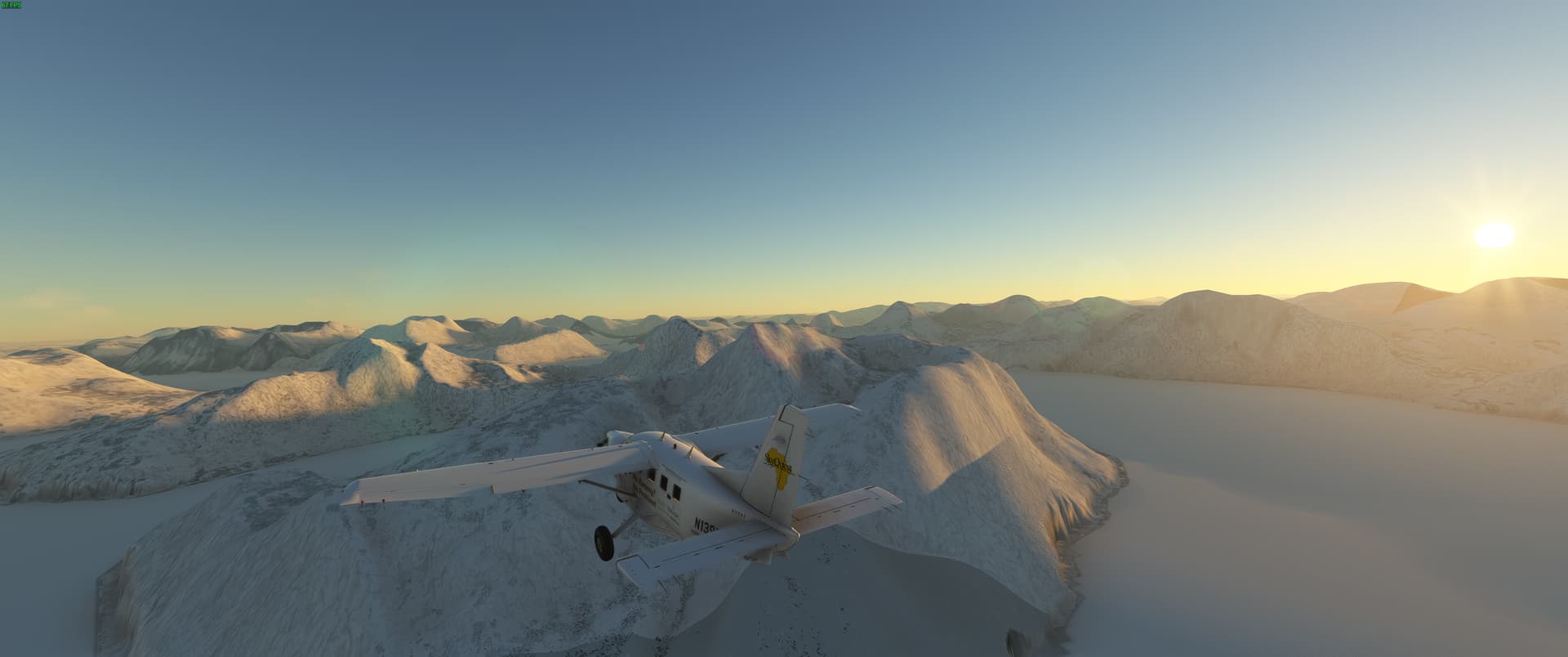
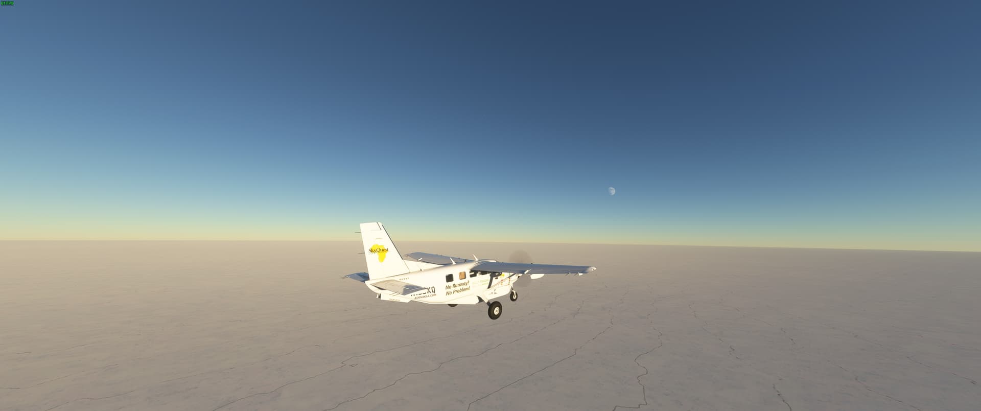
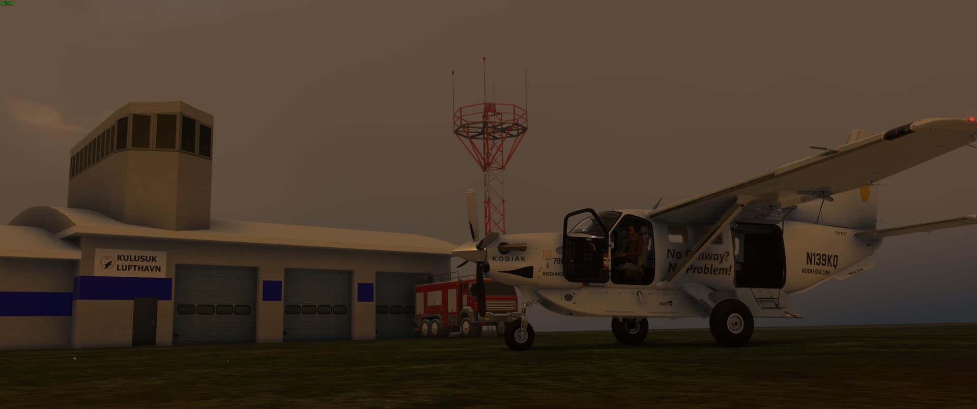
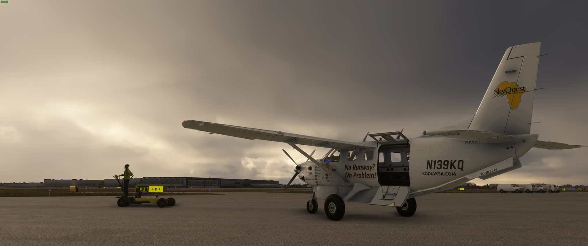
I would like to invite you along with me as I embark on yet another around the world adventure! This time low and slow, primarily in a Kodiak 100 with tundra tires. This air frame was chosen for its exceptional short/unimproved airfield performance, respectable range, high ceiling for navigating mountain ranges, and excellent visibility from the flight deck. As they say, no runway? No problem! Best of all being a turboprop, it sips jet fuel rather than avgas which in many parts of the world is impossible to get, so while not in the sim, it is a little bit more realism and immersion for me.

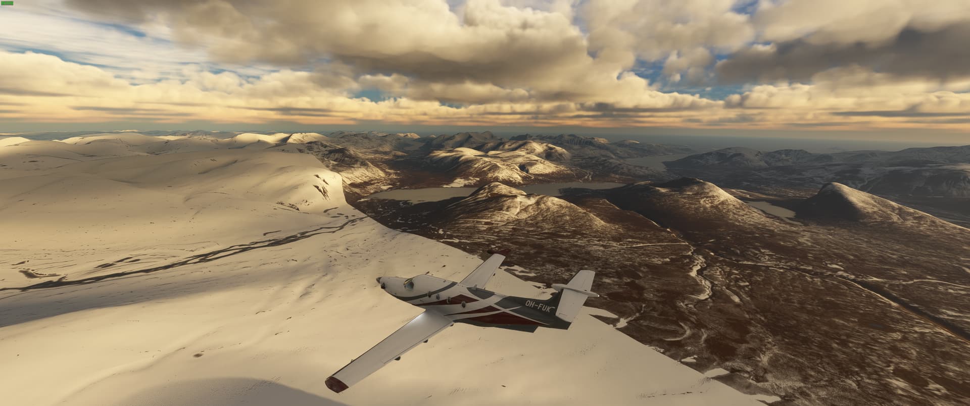
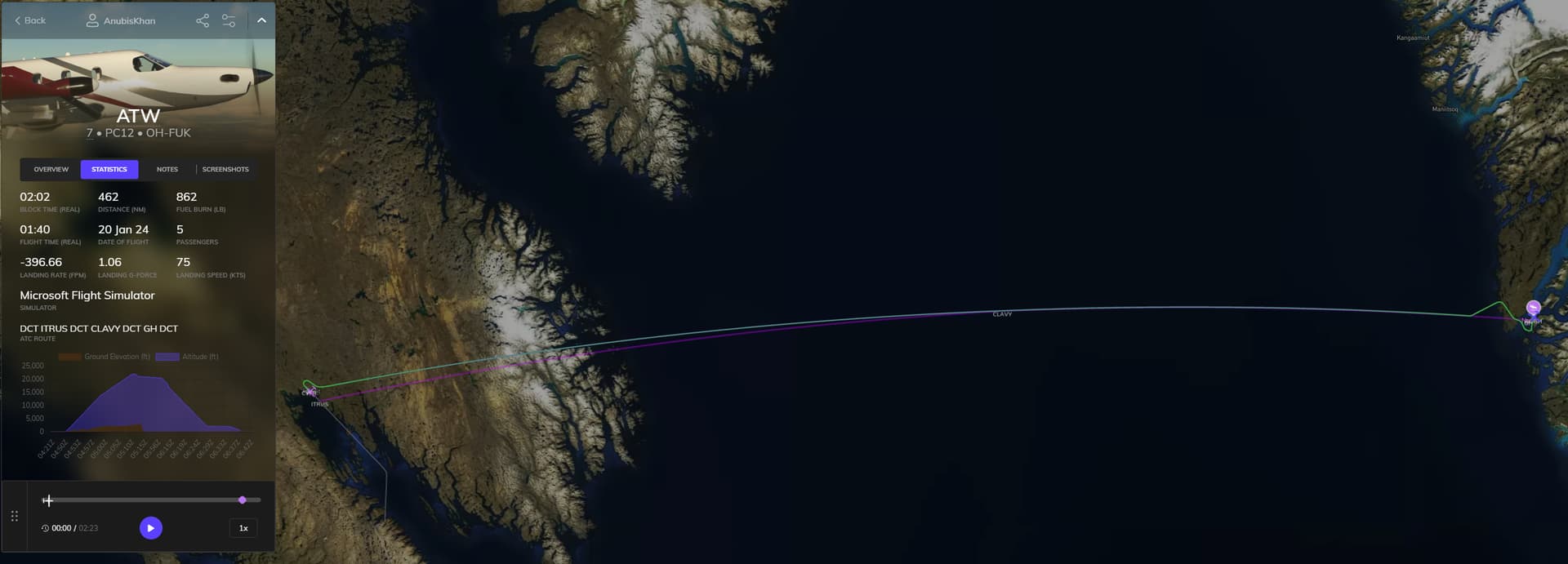
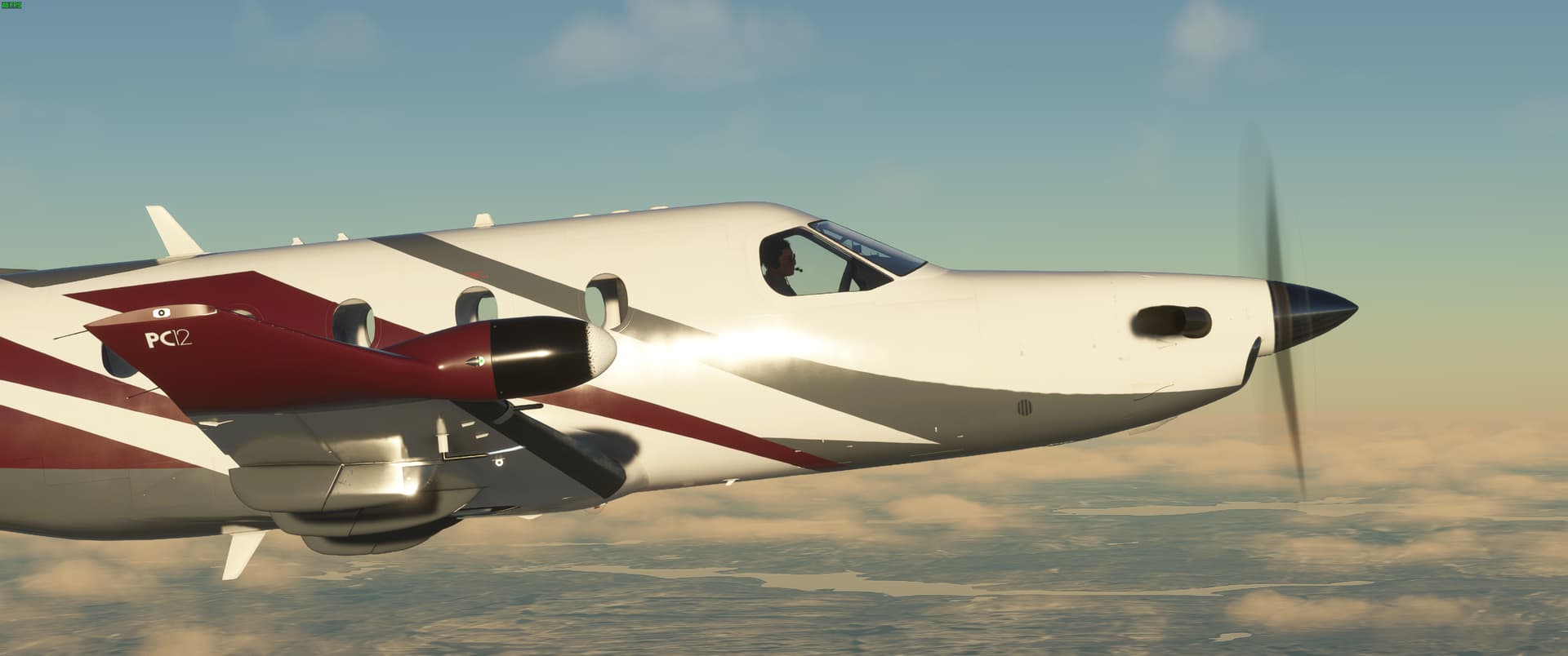
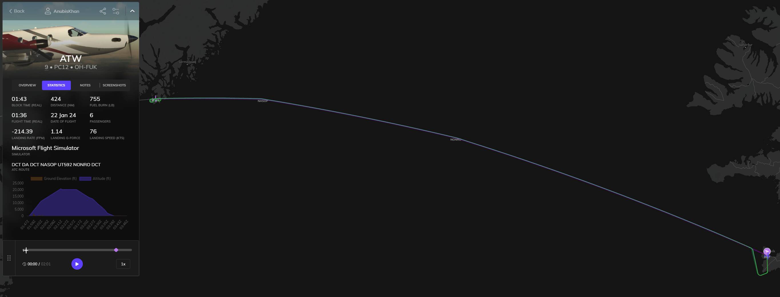
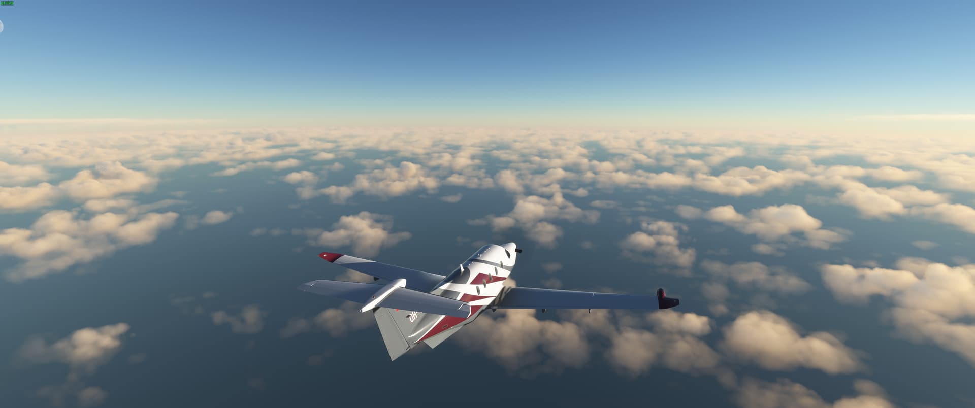
That said I will be using the SimWorks PC-12 for long over-water legs and maybe an ultralight or two for some touristy stuff along the way. Nothing bigger than a single engine turboprop will be used.

Only a few loose rules for this trip:

  1. I will visit every national capitol in the game.

  2. I will use real world weather wherever possible. That said, I am sim flying. Not sim being grounded for weeks due to stubborn weather. So if the weather is just terrible, I will turn it down a notch so I can continue to progress.

  3. No sim acceleration will be used. And if I have a catastrophic outcome, I will refly the leg from the beginning.

All flight planning will be done with a combo of simbrief and LittleNavMap and tweaked to find interesting places, views and airfields along the way.

Now that all the formal business is out of the way lets get this show on the road!

A quick tip of the hat to @EddieSimes for the really good thoughts on approaching around the world trips, and inspiring me to finally learn how to make my own google maps.

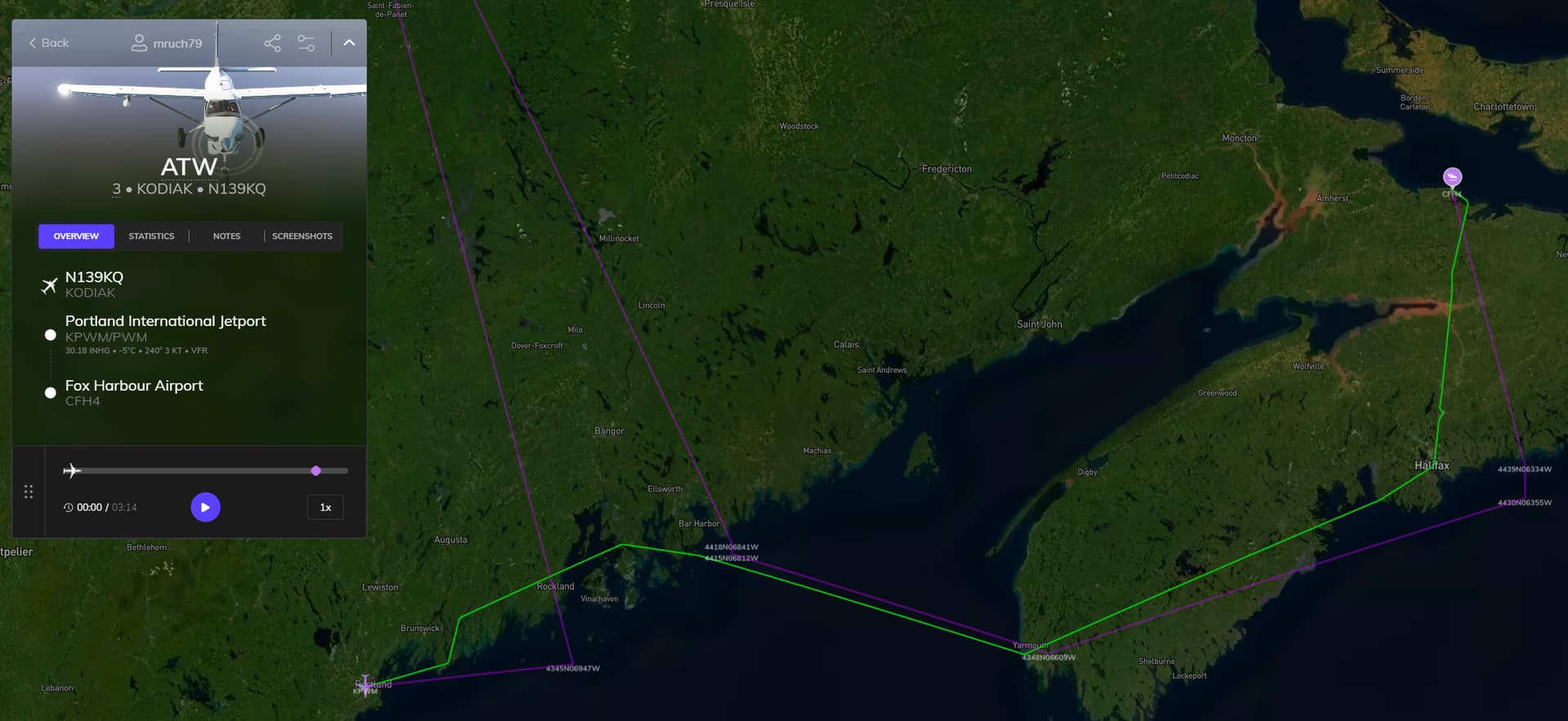
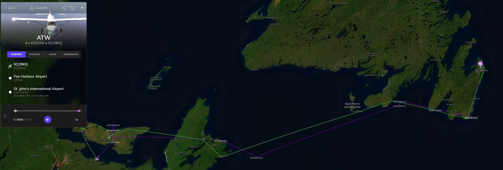
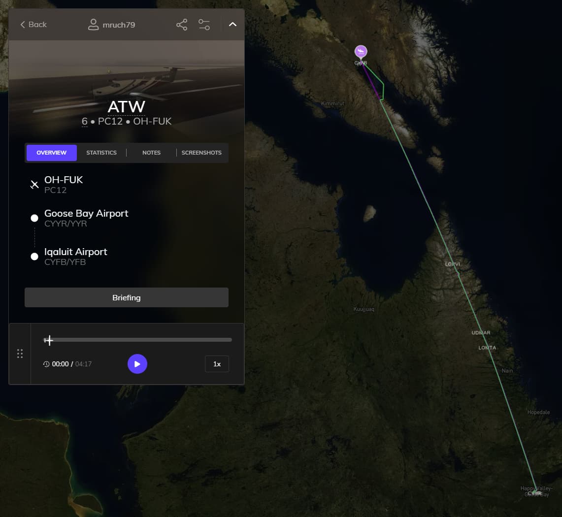
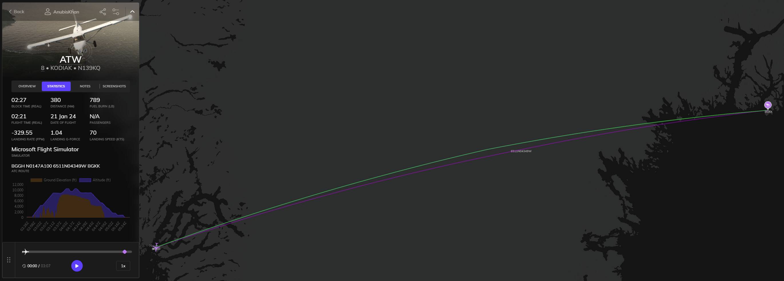
You can follow along with my trip and waypoints here: Around the World in a Kodiak

A quick summary of current progress (updated 1 Mar 2024):

Block Time 122 hr 16 min
Total Flight Time: 114 hr 02 min
Total Distance Flown: 19,174 NM
World Capitals Visited: 57 of 244

Current List of Capitals Visited.
  1. Ottawa, Canada
  2. Saint Pierre, St.Pierre and Miquelon Islands
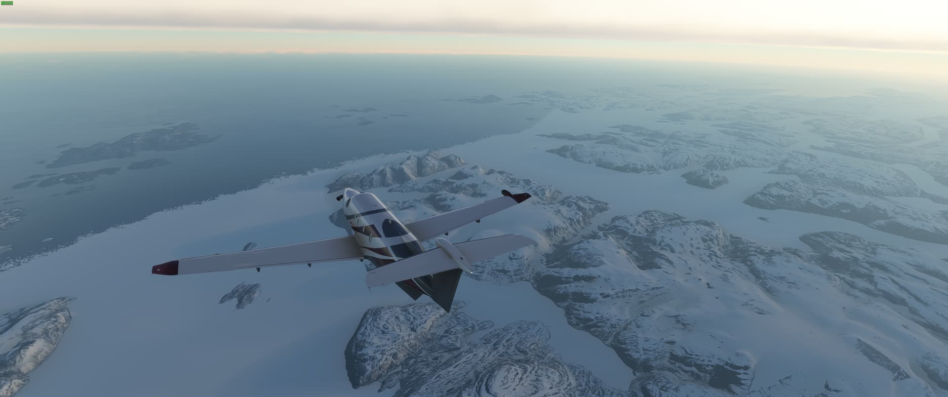
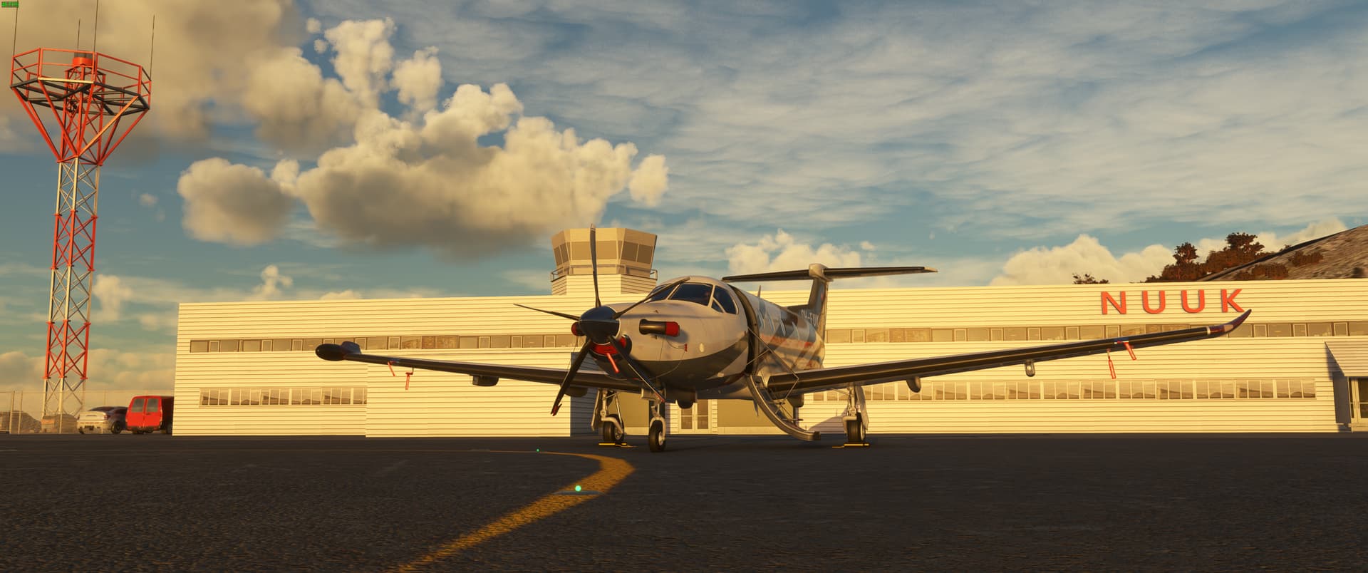
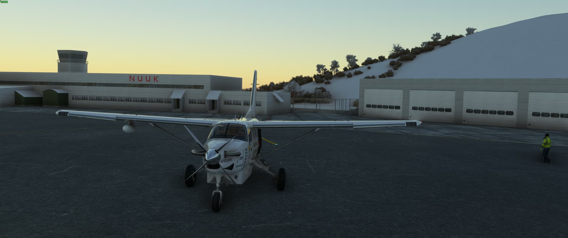
  3. Nuuk, Greenland
  4. Reykjavik, Iceland
  5. Longyearbyen, Svalbard
  6. Torshavn, Faroe Islands
  7. Edinburgh, Scotland
  8. Douglas, Isle of Man
  9. Dublin, Ireland
  10. Cardiff, Wales
  11. London, England
  12. Saint Peter Port, Guernsey
  13. St. Helier, Jersey
  14. Paris, France
  15. Brussels, Belgium
  16. Amsterdam, Netherlands
  17. Luxembourg, Luxembourg
  18. Vaduz, Lichtenstein
  19. Bern, Switzerland
  20. Monaco (City-State)
  21. The Vatican
  22. Rome, Italy
  23. San Marino
  24. Ljubljana, Slovenia
  25. Zagreb, Croatia
  26. Budapest, Hungary
  27. Bratislava, Slovakia
  28. Vienna, Austria
  29. Prague, Czech Republic
  30. Warsaw, Poland
  31. Berlin, Germany.
  32. Copenhagen, Denmark
  33. Oslo, Norway
  34. Stockholm, Sweden
  35. Mariehamn, Aland Islands
  36. Helsinki, Finland
  37. Tallinn, Estonia
  38. Riga, Latvia
  39. Vilnius, Lithuania
  40. Minsk, Belarus
  41. Moscow, Russia
  42. Kiev, Ukraine
  43. Chisinau, Moldova
  44. Budapest, Romania
  45. Sophia, Bulgaria
  46. Belgrade, Serbia
  47. Tirana, Albania
  48. Athens, Greece
  49. Valletta, Malta
  50. Tripoli, Libya
  51. Tunis, Tunisia
  52. Algiers, Algeria
  53. Andorra la Vella, Andorra
  54. Madrid, Spain
  55. Lisbon, Portugal
  56. Gibraltar
  57. Rabat, Morocco

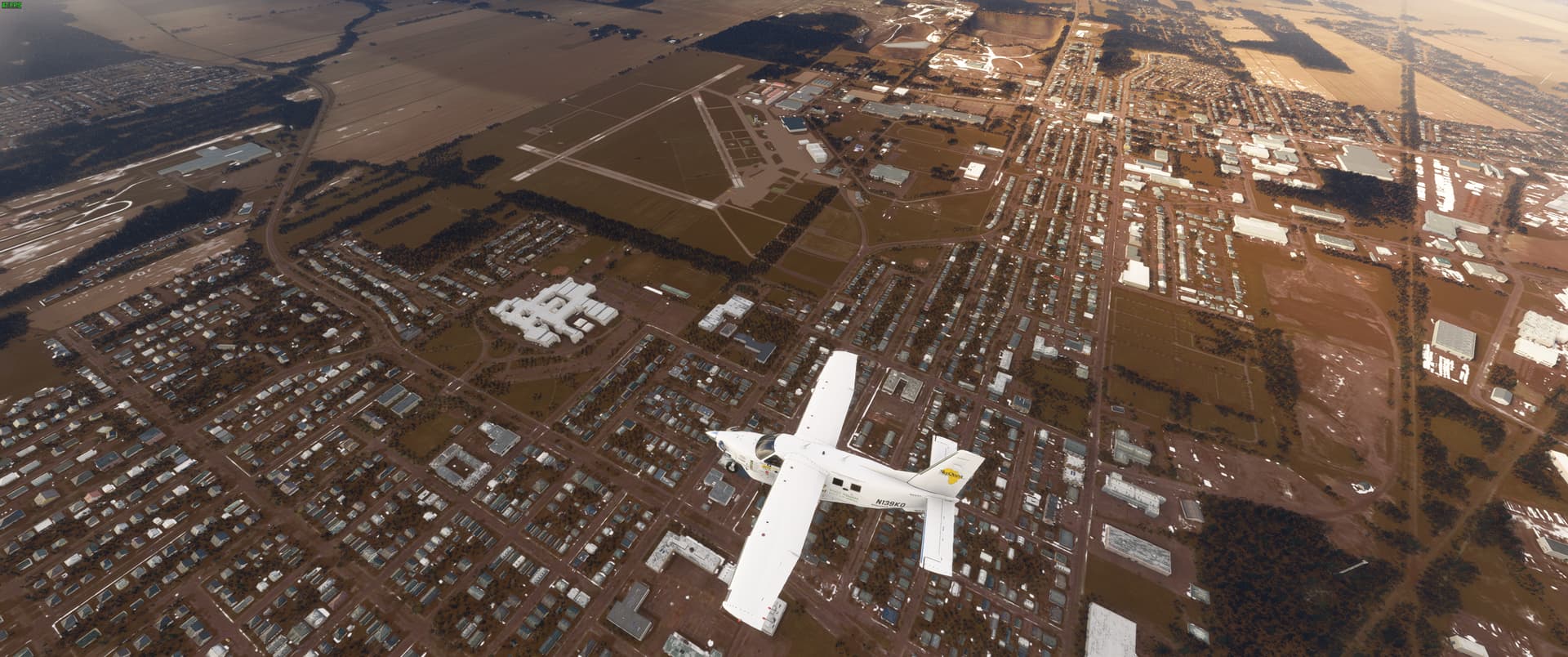
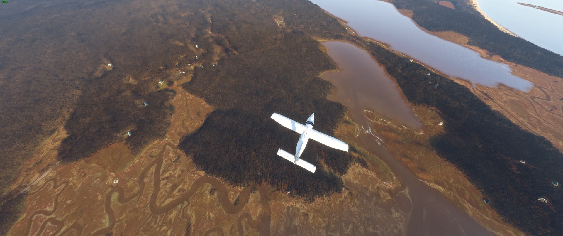
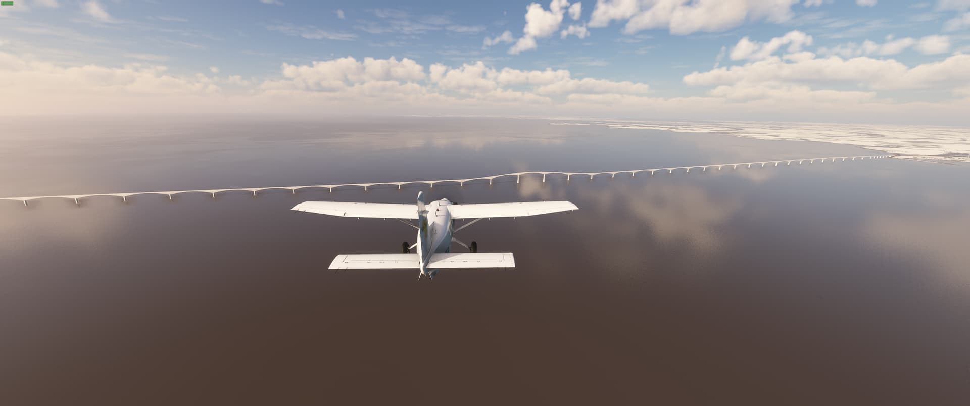
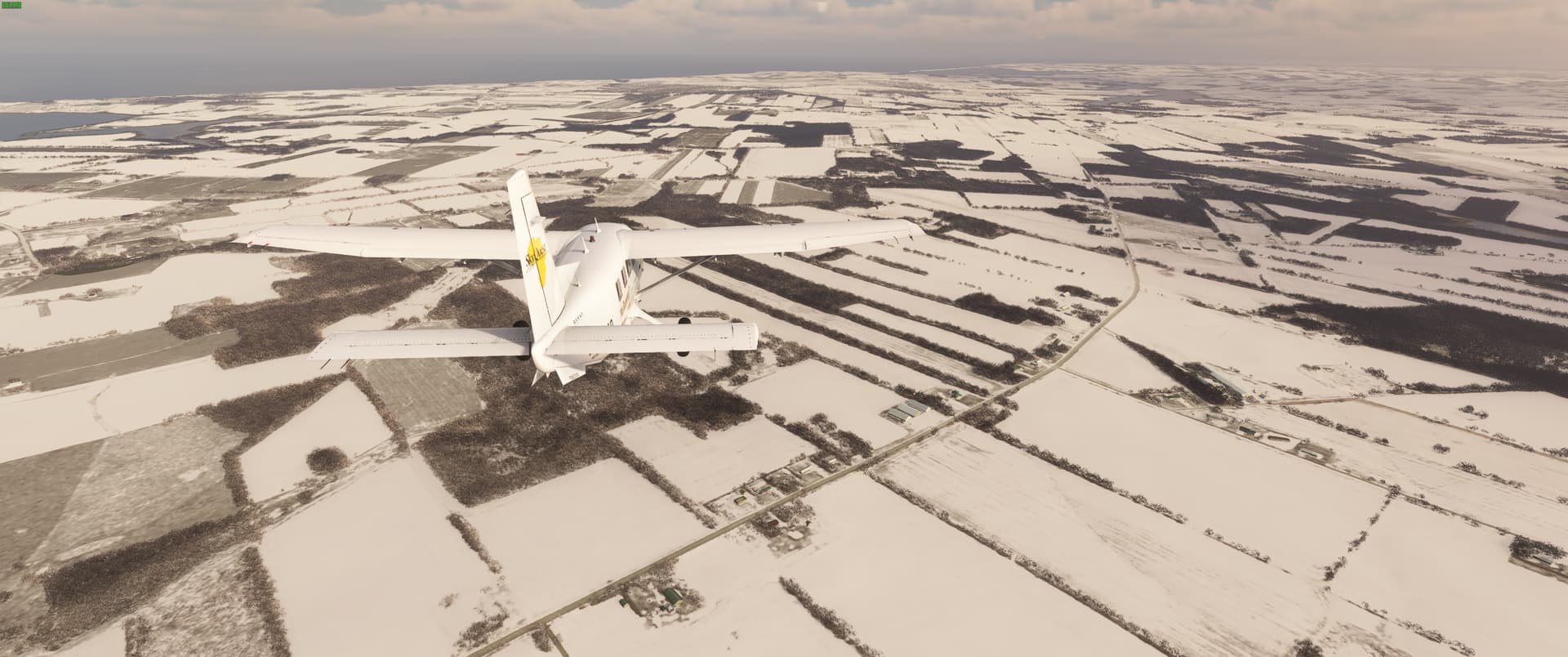
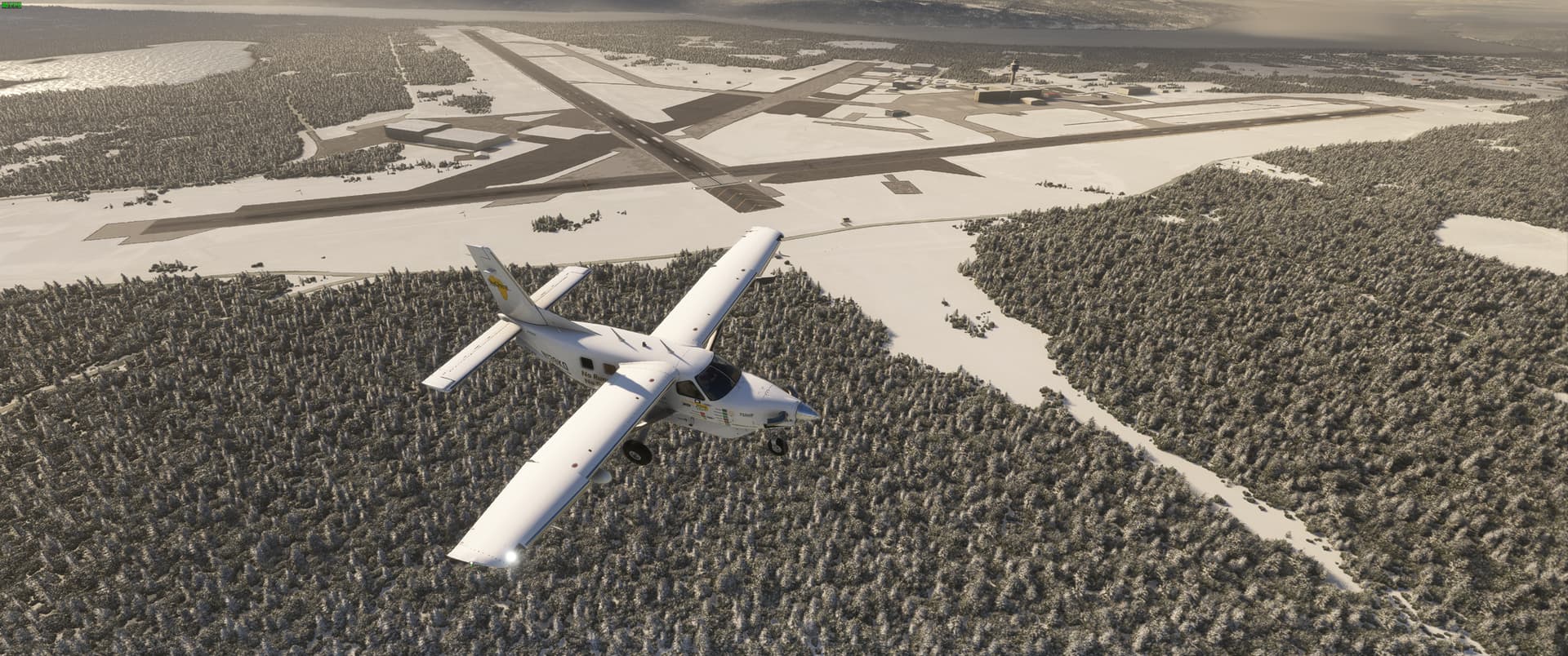
Leg 1 - Departing from home and a very snowy Buffalo (KBUF) destined for Ottawa (CYOW) tracing my way along the southern shore of Lake Ontario at leisurely altitude of 2500 ft.

Leg 1 Flight Path

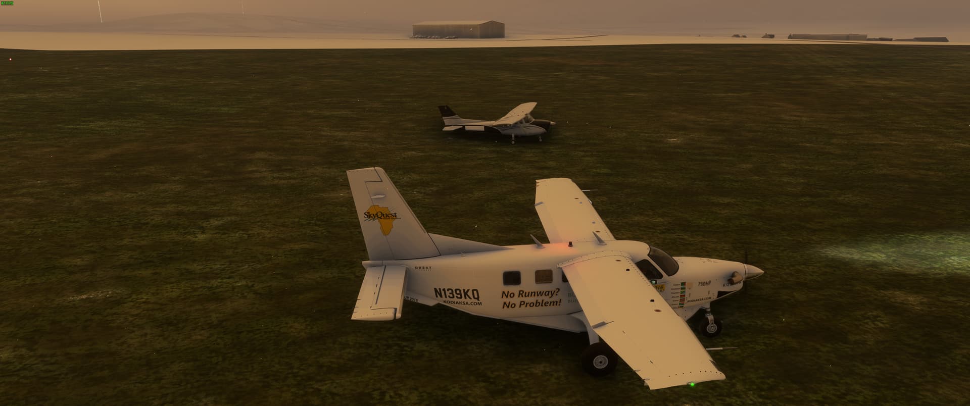
Sitting on the GA ramp at KBUF preparing to depart

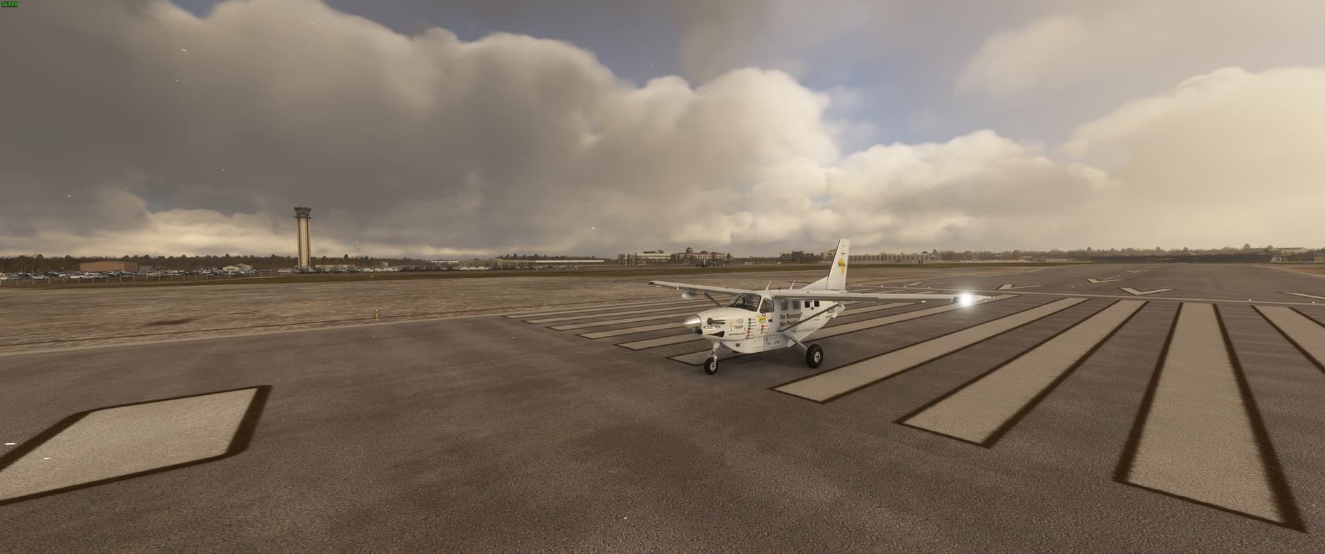
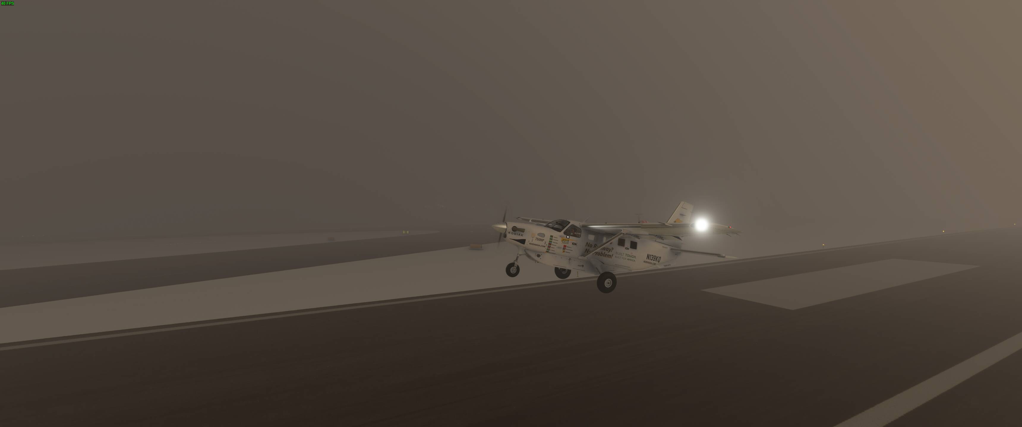
Ready to go on runway 32. It’s going to be a long time before I am home again.

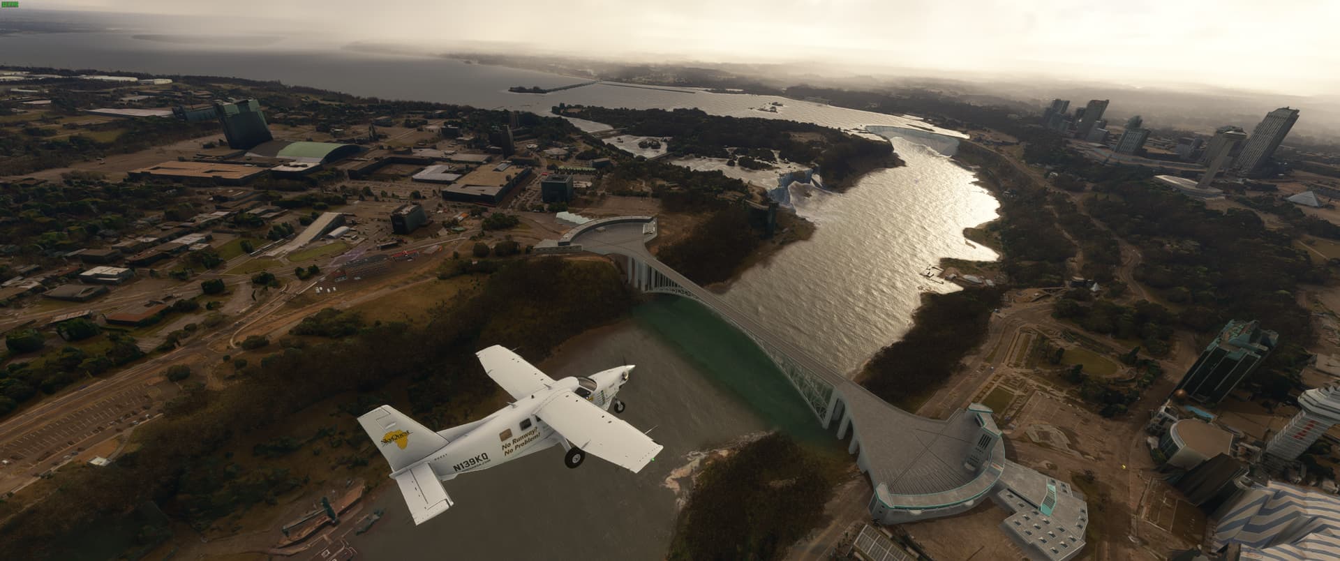
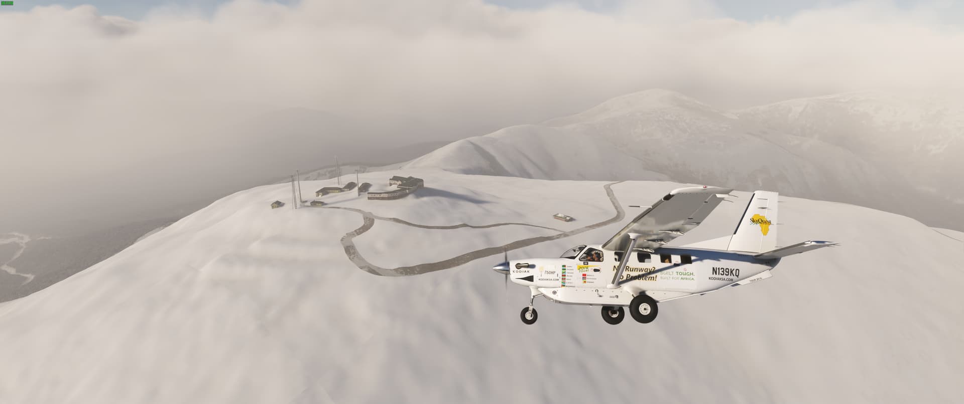
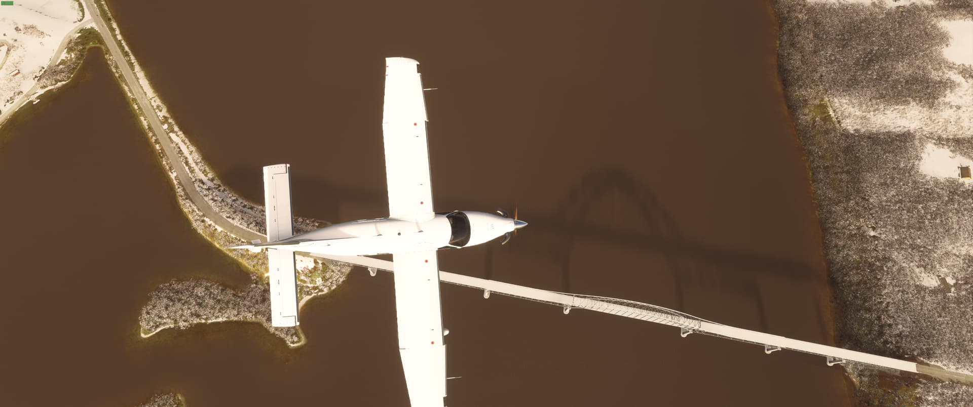
Making a quick circle over Niagara Falls before joining the flight plan route.

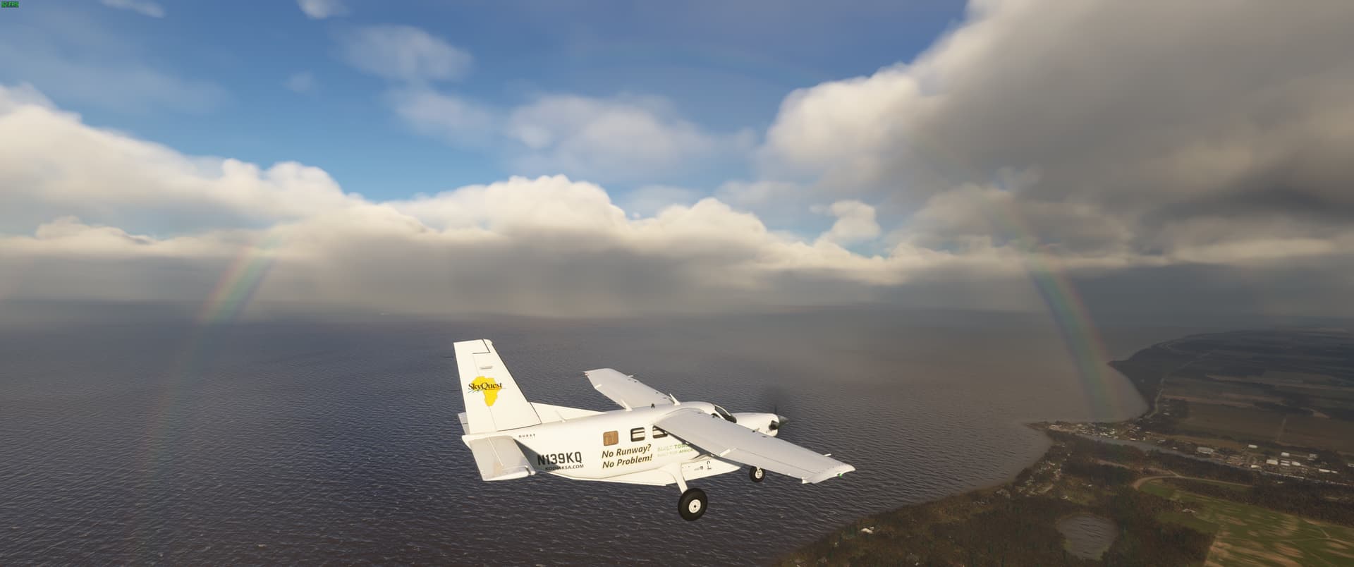
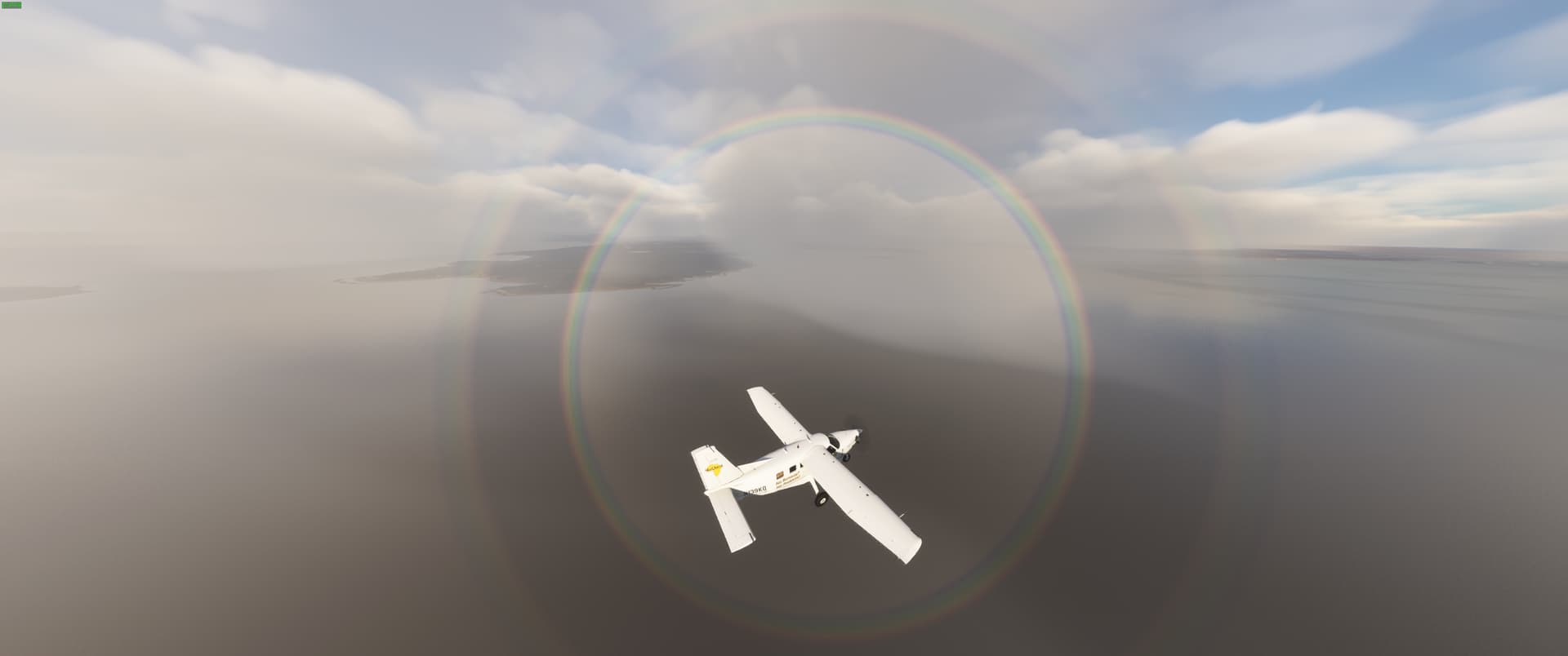
If it is snowing, is it still a rainbow?

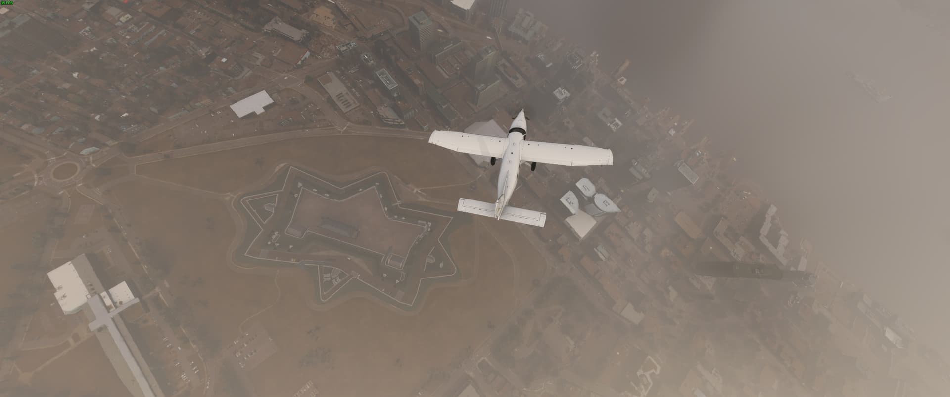
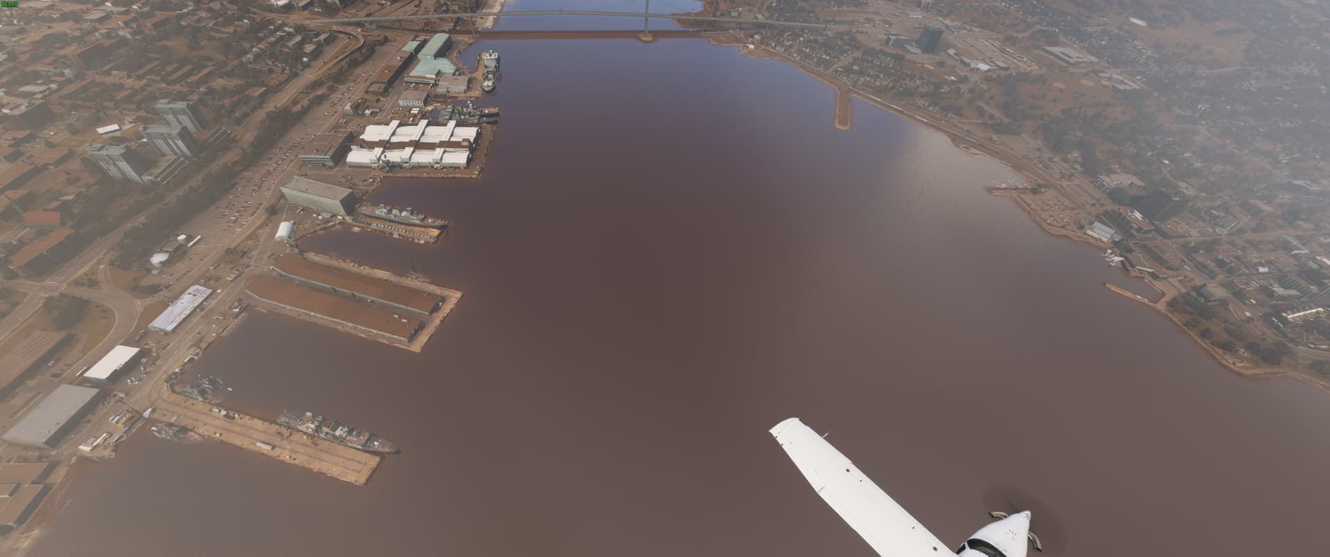
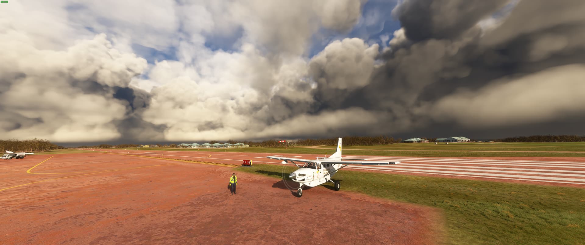
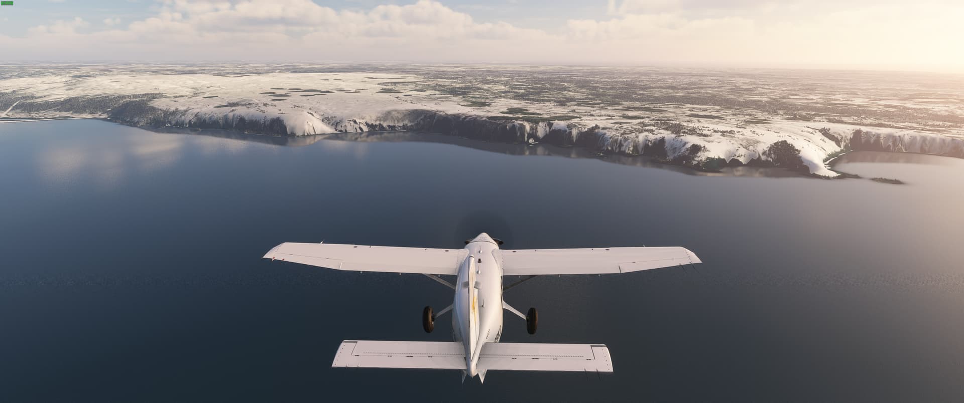
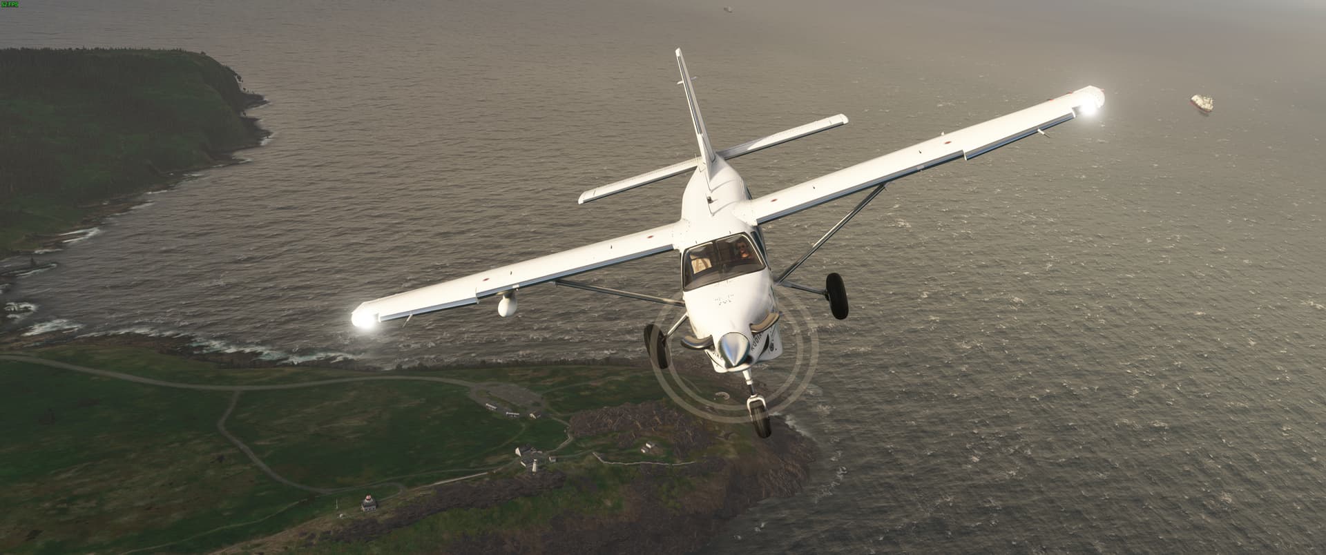
Bad weather certainly makes for some good views!

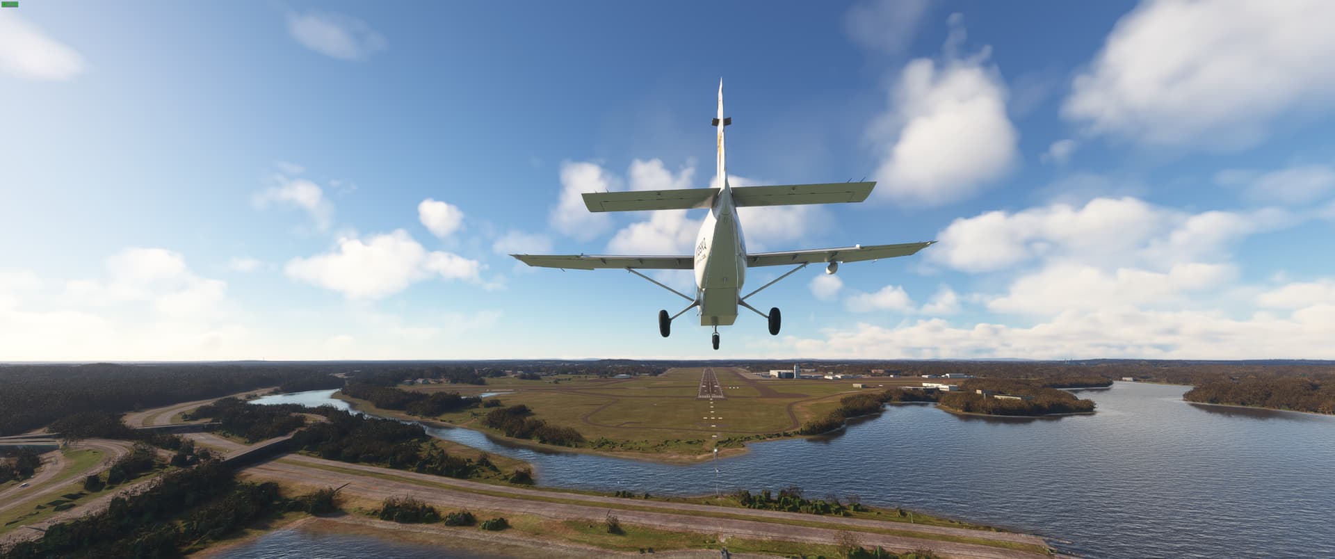
On approach to CYOW in the Soup.

10 Likes

Great plan ! I’ll be watching this topic, thanks for posting !! Love the Kodiak too.

@Pieterbaasje Thanks for the kind words! The kodiak is easily one of the best aircraft I have ever flown too many positives for me to list here everybody should try it out!

Leg 2 - Ottawa, ON (CYOW) - Portland, ME (KPWM)

After a wander around the city looking at the sights and sampling some poutine, got a good nights rest. In the morning made a couple of stops before heading to the airport, picked up a beaver tail and a maple bacon doughnut and some coffee from Timmy Ho’s before getting down to business.

This leg saw me departing again in very poor winter weather with near zero visibility in heavy snow on departure. In the end managing to race ahead of the system as I progressed east to the Maine coastline in preparation for turning northward up into the Canadian Maritimes. This leg took me over Montreal, down over Burlington VT and Montpelier then through the mountains and past Mt Washington…

Leg 2 Flight Path

Getting ready to depart Ottawa in heavy snow. I have supplies and spare parts loaded up in back and in the cargo pod. Including camping gear, hoping to camp out at some remote locations on this trip!

Very poor visibility on departure from runway 32 in Ottawa.

Would have loved a better view of Montreal, but alas have to work with what mother nature gives us!

I really like seeing all the interesting different configurations of airfields there are in the world. The airfield at Saint-Jean-sur-Richelieu certainly qualifies as interesting.

Entering into the mountains in Vermont

Passing By Mount Washington

Ships make good reference points for tuning to final

Finally some good weather on final into Portland International Jetport.

Shutdown and time for a well deserved lobster roll!

4 Likes

Leg 3 - Portland, ME (KPWM) - Fox Harbour, NS (CFH4)

Departed late morning in good weather, heading north along the Maine coast before crossing over the Nova Scotia. Given the coastal terrain almost the entire way, I was able to make the entire flight at a mere 1,500 ft. Maybe not the greatest for fuel efficiency, taking in the scenery from that altitude is unparalleled!

Leg 3 Flight path

The intricate details of an ocean coastline are breathtaking

Overflying Wiscasset Airport

Saw many more ships than aircraft on this leg

Deer Isle Bridge

Grand Cranberry Island

Approaching Nova Scotia

Hello Halifax

The Navy is in Town

Rainbow Rings

Shut down for the night in Fox Harbour. Nice that they had a welcoming committee ready to take me to the course after a day of flying!

4 Likes

This must be satisfying for the developers to see as well, this is exactly what makes this sim so amazing!

I’ll keep following it!

-Bram

1 Like

Yep… And now I want to go watch the navy too… Will fly there tomorrow :slightly_smiling_face: !

1 Like

A really great point! I can’t imagine how it must feel for the developers to see their hard work being used in so many different awesome ways!

Glad to have along for the trip!

1 Like

Leg 4 - Fox Harbour, NS (CFH4) - to St. Johns, NL (CYYT)

Attempted to wait out a major storm before setting out on this leg, was rewarded with some local clearing, but the weather was just too dicey for long overwater legs in the desolate Canadian maritimes. Made the call to adjust to the Rex Heavenly Winter preset to simulate the aftermath of the passing winter storm and got underway.

This lengthy leg was literally all over the map as I criss-crossed Prince Edward Island before crossing over to Cape Breton Island, then onward to the little known French territory of Saint Pierre and Miquelon, then finally on to Newfoundland and Labrador before turning north and finishing up in St, John’s.

Civilization is becoming very sparse this far north, it will be a decently long spell of lonely skies, but it is a really nice break from the congested airways of the US.

Looking forward to trying a Jiggs’ Dinner with Figgy Duff and maybe some toutons before settling down to flight plan the next leg!

Leg 4 Flight Path

The weather was not ideal when I arrived back at the aircraft to start the preflight.

After 30 minutes of waiting I was rewarded with local clearing, but incoming precipitation and 40+ kt sustained winds meant I needed to adjust the weather.

See you next time Fox Harbour. The round was fun and the winds made it a challenge.

Confederation Bridge to PEI

Snow covered fields are just beautiful

Seal Island Bridge

Approaching Newfoundland

Turning Final at St, John’s

3 Likes

So then…2 world capitals…so that means so far you’ve visited the Canadian capital (Ottawa) and…Iceland? (Reykjavik)? Or does Greenland (Nuuk?)

1 Like

Leg 5 - St. John’s (CYYT) - Goose Bay (CYYT)

A beautiful day for flying, right up until arrival at Goose Bay that is, transiting this region in the dead of winter is definitely not for the faint of heart, but the challenge is why I chose to embark on this journey at this time of year.

The scenery is getting more and more spectacular as signs of civilization are becoming very sparse. This is a region of endless trees as far as the eye can see. So there will be much less in the way of photography for the next few legs. But I am sure all of you a can use a break!

The next few legs are going to be very long over some of the most desolate land iin the world and over oceans. So we will be shelving our trusty Kodiak in exchange for a Pilatus PC-12. See you on departure!

Leg Stats:

Block Time 3 hr 50 min
Flight Time: 3 hr 36 min
Total Distance Flown: 558 NM

Leg 5 Flight Path

Climbing out over Cape Spear, the easternmost point in Canada.

A quick flyby of Gander.

I have absolutely no desire to know what happened down there :stuck_out_tongue:

I really wanted to stop for the night at the hotel at the end of the world, the Fogo Island Inn. But when I saw the price for the cheapest room was $4000 a night, I decided to keep on flying.

Trees as far as the eye can see!

Beautiful weather for a landing at Goose Bay

4 Likes

I am counting independent territories and protectorates as well. So number 2 was the touch and go I did at Saint Pierre-Pointe Blanche Airport in on the St.Pierre and Miquelon Islands. St. Pierre is an independent french territorial collectivity. So while not a member of the United Nations, It does indeed have a capital that needed to be visited.

I am using @drinkingguide84 's brilliant Grand Tour Flight Planner to roughly point me in the right direction for an efficient order for visiting them all, as you can tell I am not bee-lining anywhere in a hurry :slight_smile:

2 Likes

Leg 6 - Goose Bay (CYYR) - Iqaluit (CYFB)

Picked up the PC-12 and hit the skies for the longest leg yet. Left the trees behind and really started to get remote. The stark scenery kept this long and straight flight from getting boring.

Time for some rest prior making the hop over to Greenland in the next day or two.

Leg Stats:

Block Time 3 hr 22 min
Flight Time: 3 hr 14 min
Total Distance Flown: 698 NM

Leg 6 Flight Path

The new steed is ready to go

I defy you to find a lower realtime weather Baro pressure than this!

Gorgeous

Definitely don’t see too many 737-200s these days

All tucked in for the long arctic winter night

3 Likes

Leg 7 - Iqaluit (CYFB) - Nuuk (BGGH)

A relatively quick hop over the Davis Straight at a moderate altitude of FL230 to take advantage of those super delicious high latitude winds pushing me along an about 310 kts over the ground, making this trip in under two hours to a not as smooth landing as I would have liked on runway 5 in Nuuk.

Nuuk the capital of Greenland marks the third capital visited so far,

This is the point where, to me, the trip starts to feel real. Leaving mainland North America, not to return for quite a while. I do know that Greenland is a part of North America but it just hits a bit different for me. Have a few surprise destinations in the next few legs that few, if any, people have included in their round the world trips that I have seen. That sort of thing is what makes these adventures so fun for me. Getting way off the beaten path to very seldomly seen portions of the map.

But next up is the trek over the Greenland Ice Shelf. Minimum safe altitude for the transit is only 10,000 feet. That is some serious ice!

Leg Stats:

Block Time 2 hr 02 min
Flight Time: 1 hr 40 min
Total Distance Flown: 462 NM

Leg 7 Flight Path

The trusty steed performing well on the climbout

Seeing the pack ice was a real treat

Without much to look at on this leg I was really enjoying studying the minute details of this aircraft.

Gotta love the high latitude winds!

Hello Greenland

Safely down for the night in Nuuk

5 Likes

How do you like the PC 12 compared to the in game TBM?

Nice pictures again, reading it feels like it’s a real flight that’s going on👍

-Bram

2 Likes

The Simworks PC12 is light years ahead of any default aircraft.

The PC12 has long been my favorite aircraft, as a professional aircraft mechanic, if I ever had more money than I knew what to do with I would purchase one.

It is just that sweet spot of performance and capability for me. Equally comfortable going high and fast as well as low and slow while being able to carry ton of cargo.

I flew countless hours in the Carenado PC12 in FSX, and Simworks surpasses it in every way in MSFS.

That said it definitely is not a beginner aircraft, it is a study level model and requires to be flown by the book. It is a very slippery aircraft and I am still struggling to master landing as you can see by my touchdown speed.

The effort that it takes to learn it really is rewarded in the joy of flying it.

Thanks for the kind words about how I am documenting my trip. It is nice to know that some out there enjoy it. I enjoy the hell out of doing it and how I am going to report my progress gives me something to think about while flying each leg.

Glad to have you along for the ride!

2 Likes

Leg 8 - Nuuk (BGGH) - Kulusuk (BGKK)

Arrived back to the airport early to make the most of the very limited daylight at these high latitudes today. The objective for the day was to cross the Greenland Ice Sheet, It was a unique experience. The ice is so thick, that cruising at 10,000 ft you were barely 1,000 feet over the ice.

It was a very direct route with only the slightest deviation to check out the DYE 3 site. Used for both ice core drilling as well as a site on the Distant Early Warning (DEW Line) during the cold war.

Weather was beautiful out of Nuuk, and over most of the ice, but definitely deteriorated to about a mile visibility in snow on apprach to Kulusuk.

Not much to see, but I was reminded of the words of Buzz Aldrin. “Magnificent Desolation”. No better words describe the Ice Sheet.

Back into the PC12 tomorrow for the transit to Iceland.

Leg Stats:

Block Time 2 hr 27 min
Flight Time: 2 hr 21 min
Total Distance Flown: 380 NM

Leg 8 Flight Path

Loading final supplies before departing

Beautiful scenery on climb out.

Magnificent Desolation

The DYE 3 site

The weather really closed in towards the end of the leg

Wasn’t expecting to see this little guy at far end of the world here. Good luck on your travels.

Made it just before sundown. Time for some food and a rest.

3 Likes

Leg 9 - Kulusuk (BGKK) to Keflavik (BIKF)

Didn’t linger long this morning in Kulusuk. A rare window of great weather opened up for me to make the shortish hop across the water to Iceland in the PC12.

Weather was scattered cloud and moderate tailwinds the entire way so great time was made. Looking forward to a couple of days of exploring Iceland before moving on.

Plenty to see, do and eat here!

Leg Stats:

Block Time 1 hr 43 min
Flight Time: 1 hr 36 min
Total Distance Flown: 424 NM

Leg 9 Flight Path

Climbing out of Kulusuk. See you next time Greenland

Great Flying Weather

Short Final to Runway 01

4 Likes

Good to see the trend that besides flying, your simulation experience seems to include trying out the local cuisine :grin: ! Simulators are magical…

2 Likes

A guy’s gotta eat while flying around the world! :stuck_out_tongue:

I find it gives me a reason to learn a bit more about the places I am visiting in the virtual world!

2 Likes