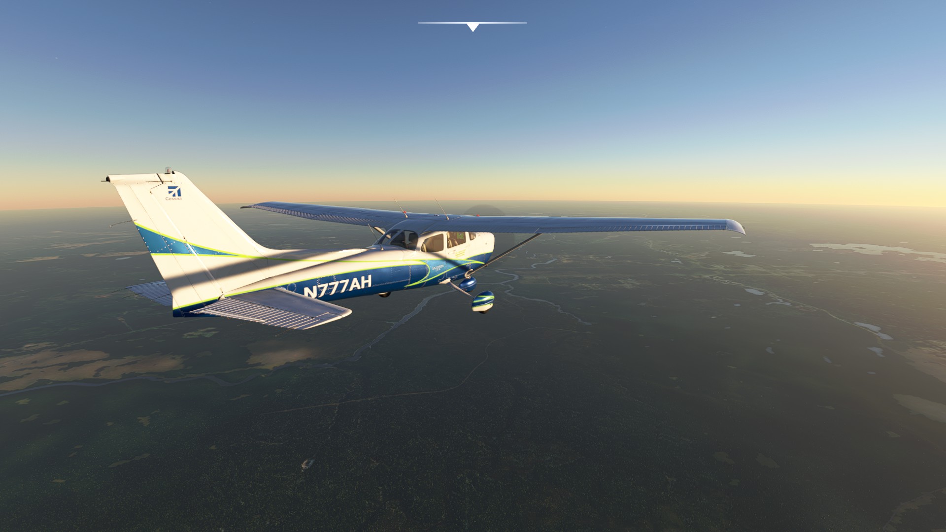
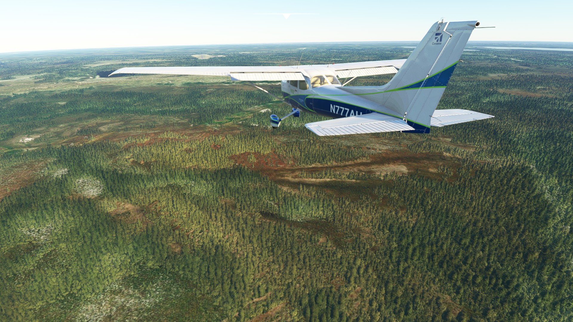
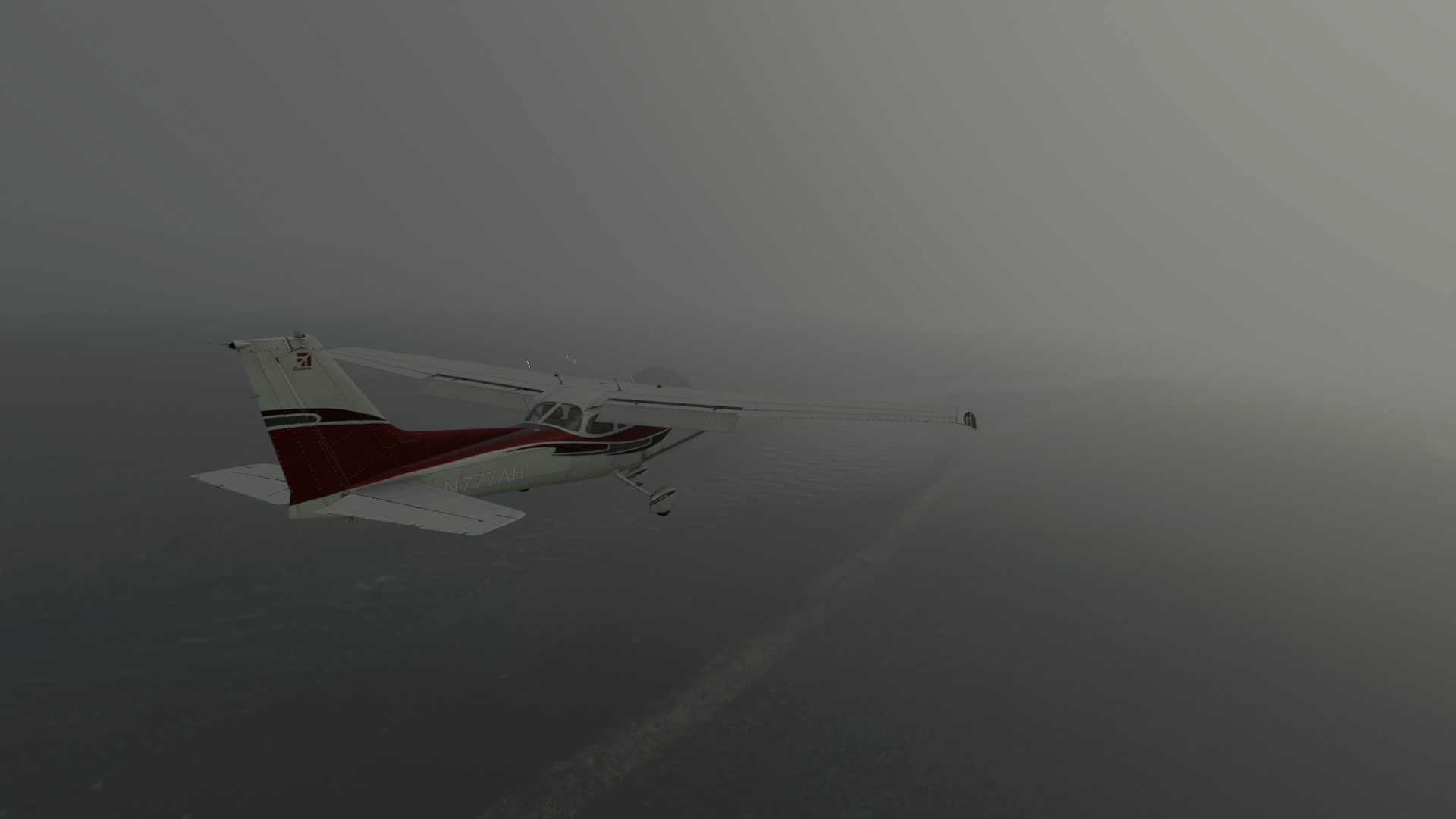
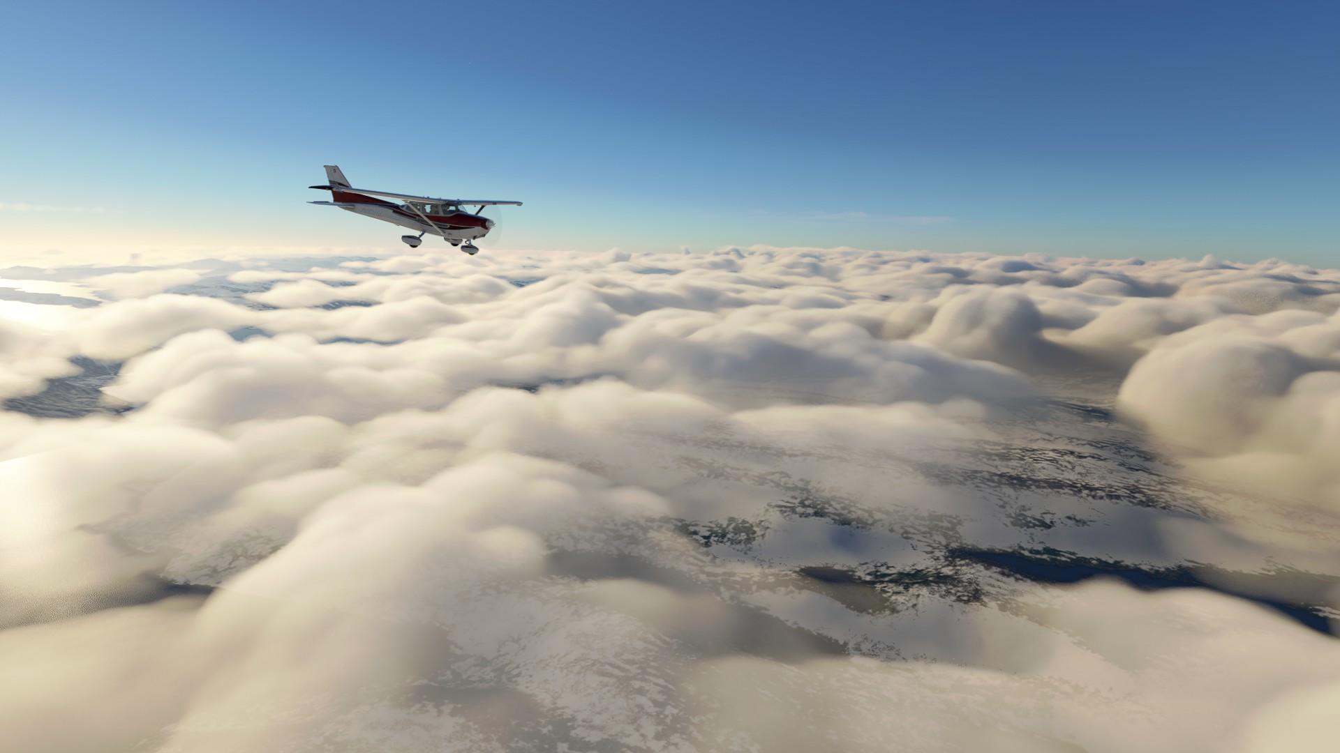
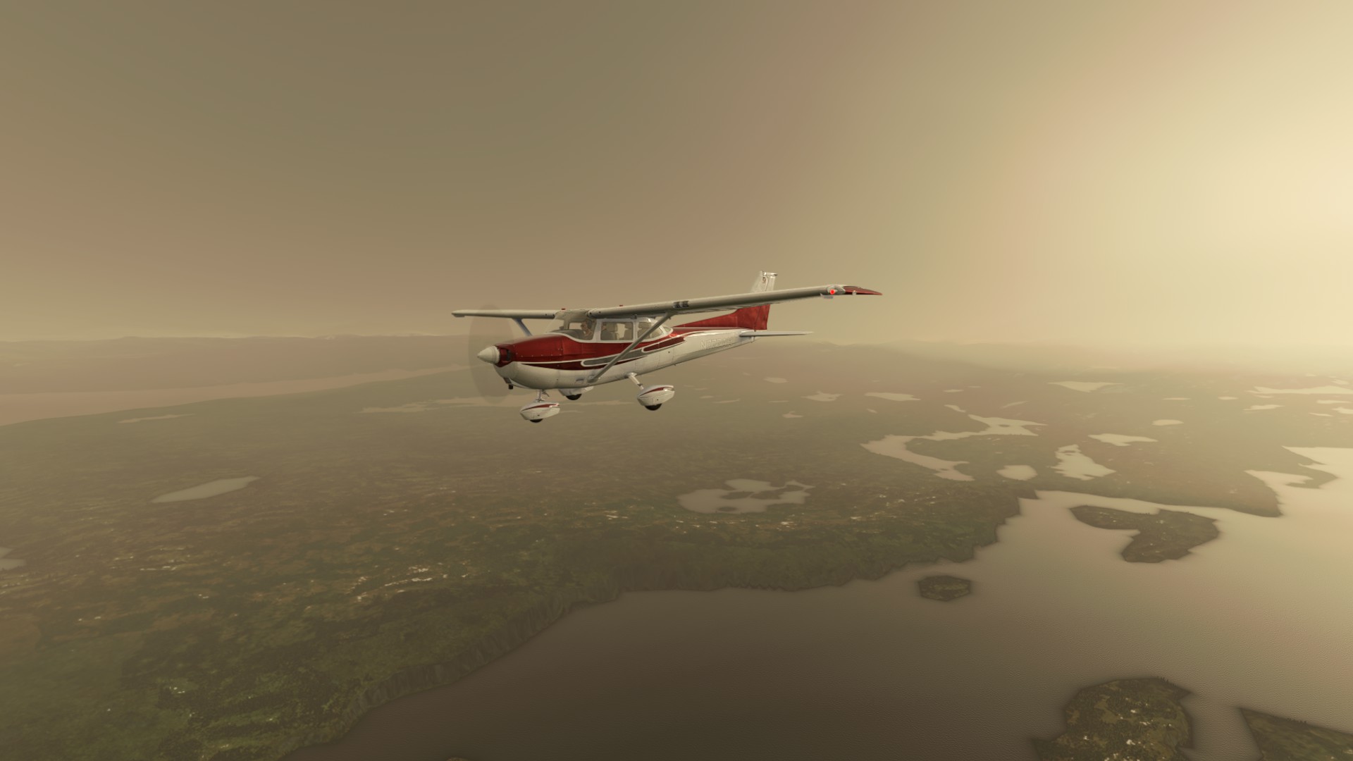
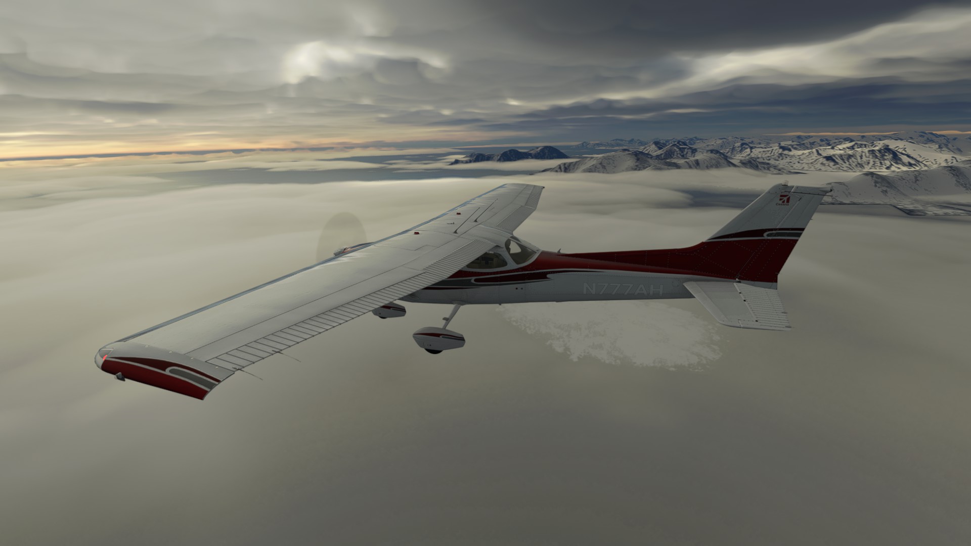
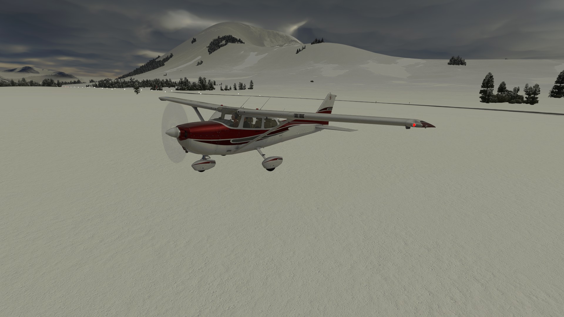
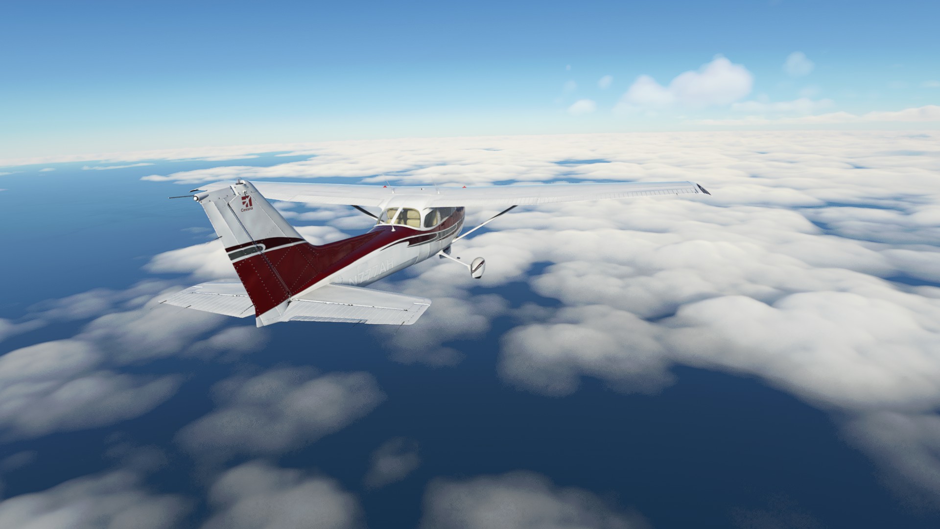
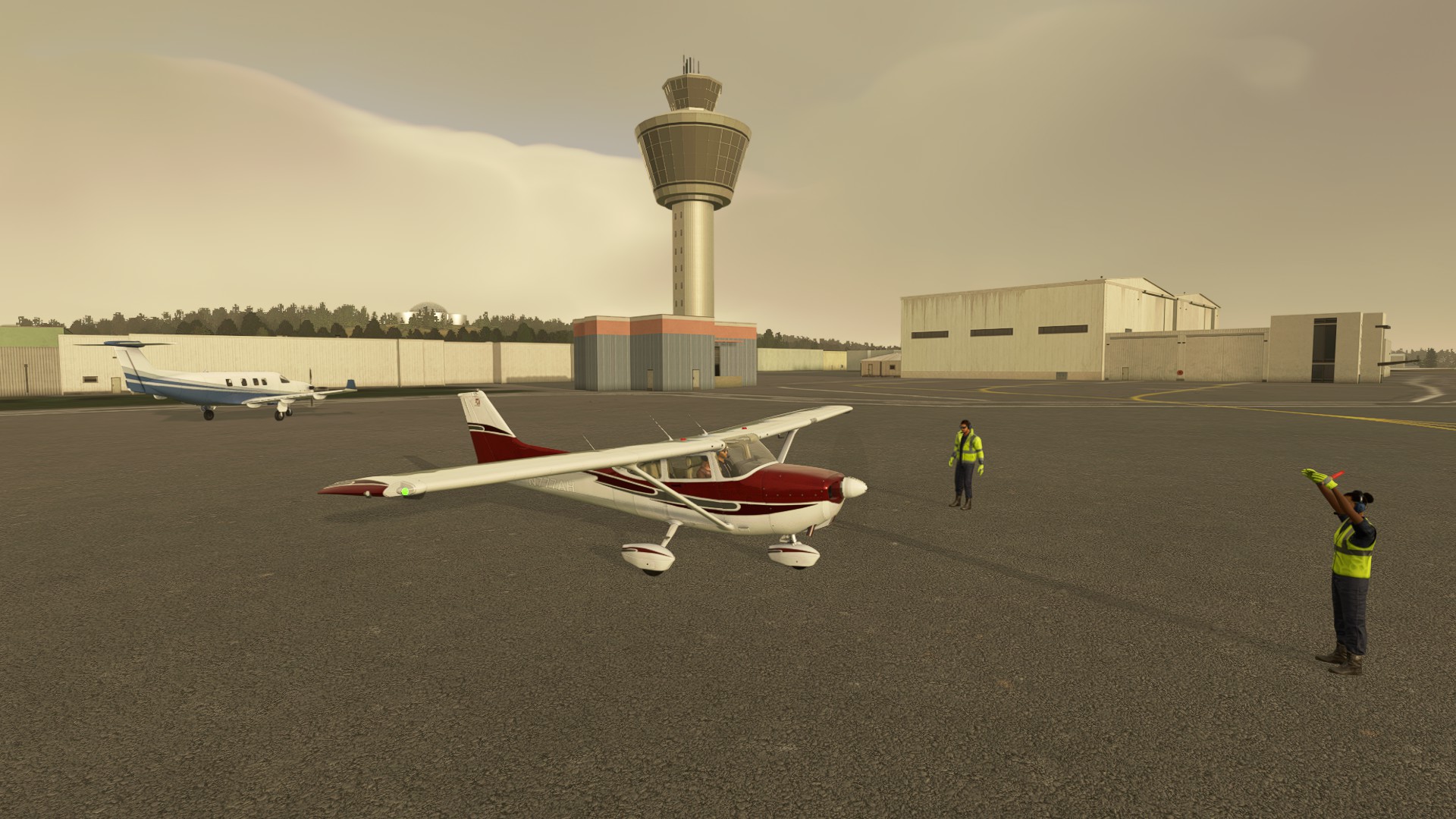
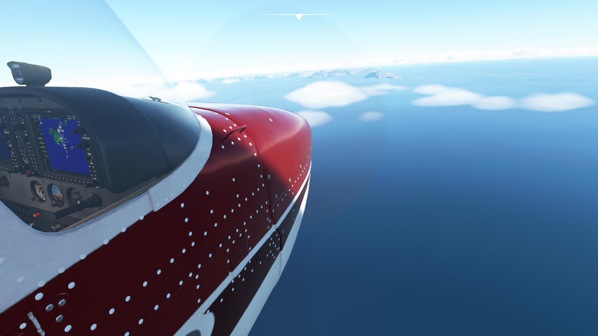
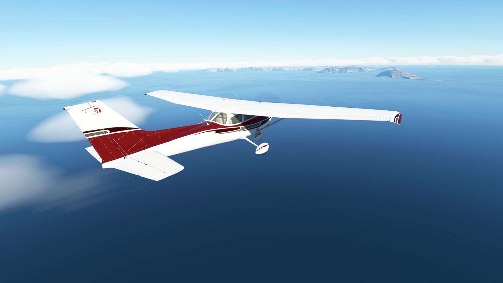
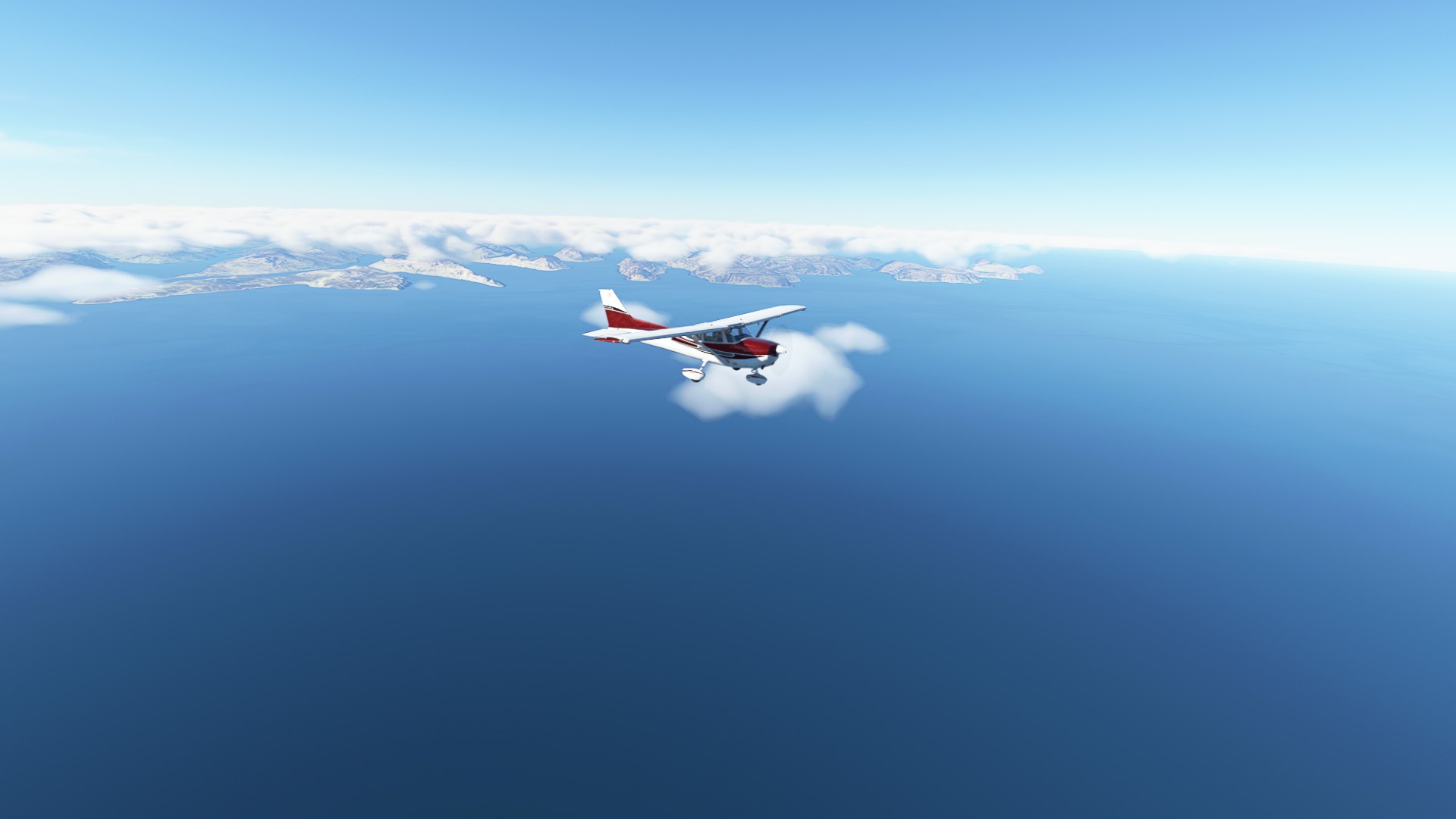
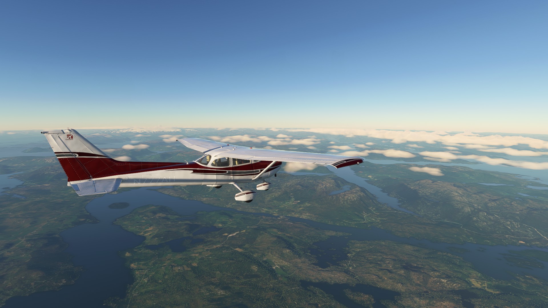
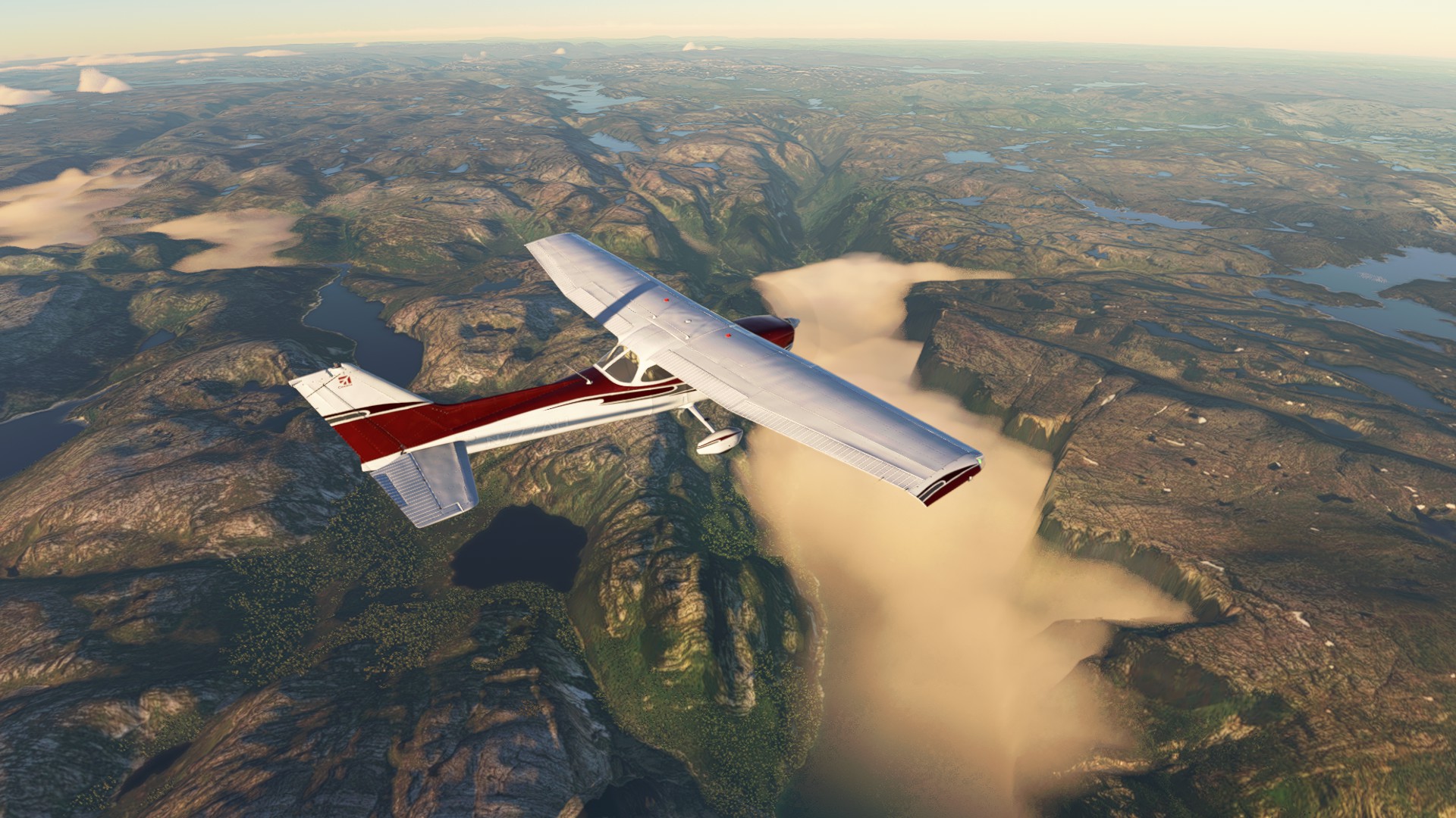
Inspired by actual events. OSM Aviation Academy orders two brand new C172 JT-A Skyhawks (turbo diesel engine) from the Cessna factory in Independence, KS USA and sends four pilots to ferry them over 4,000 nm to the small town of Arendal on the eastern end of Norway.
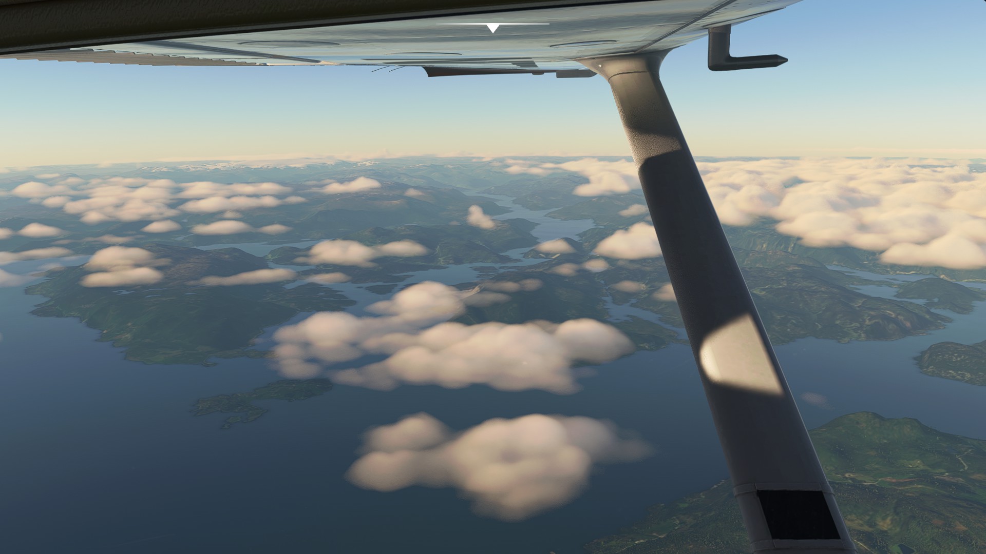
We’ll fly over six countries and fourteen airports. And they’ll even be a little twist towards the end!
This thread will be updated with travel logs and flight plans as we retrace their steps.
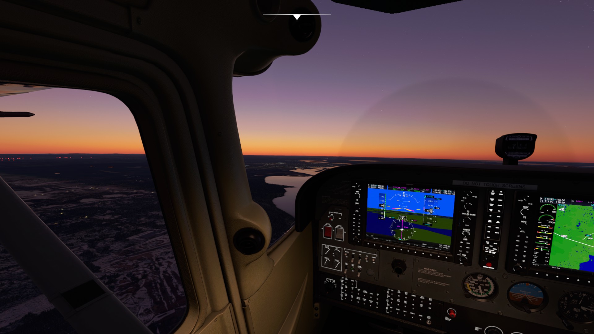
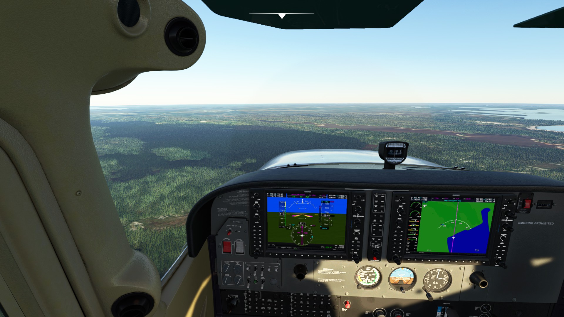
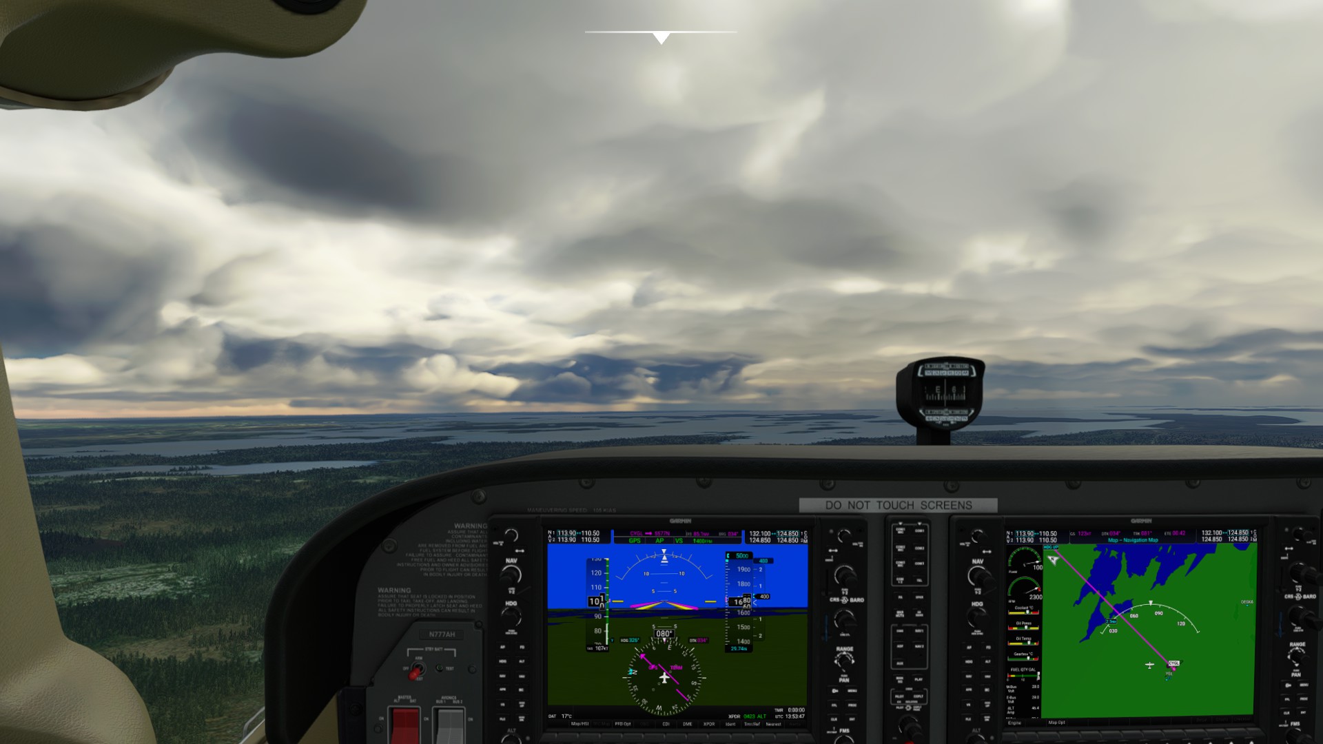
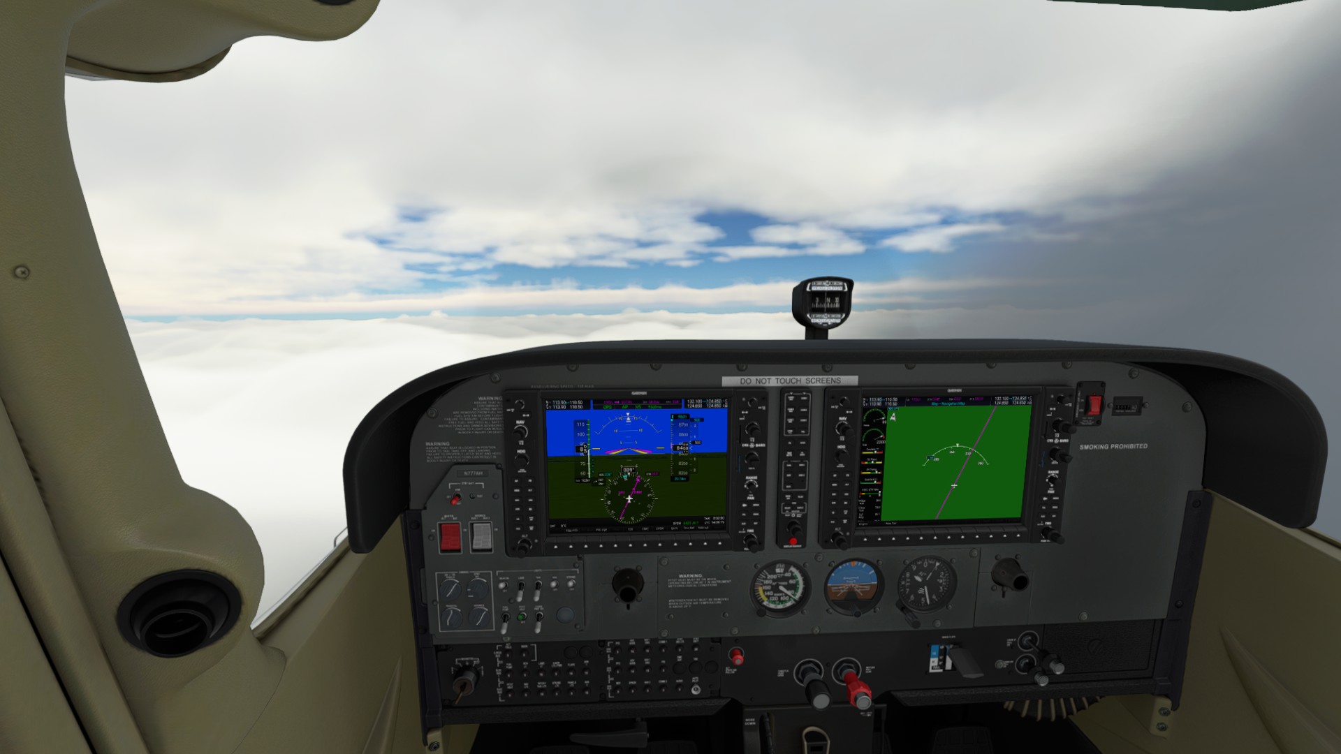
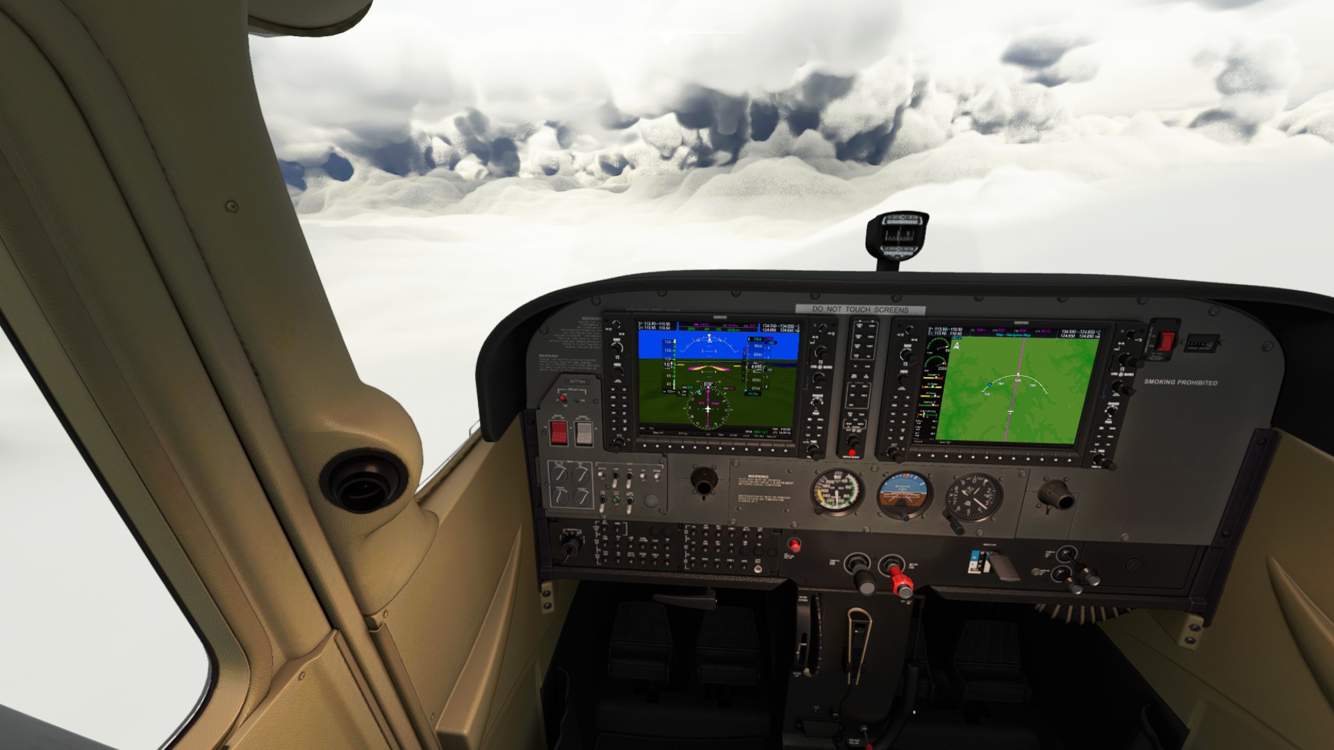
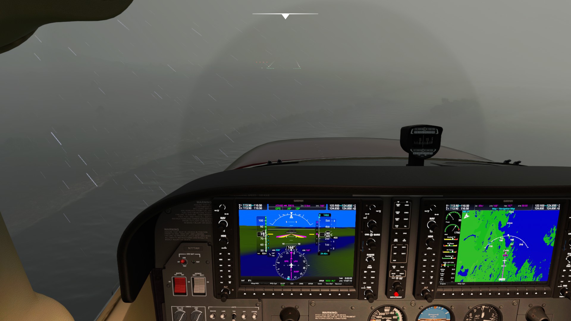
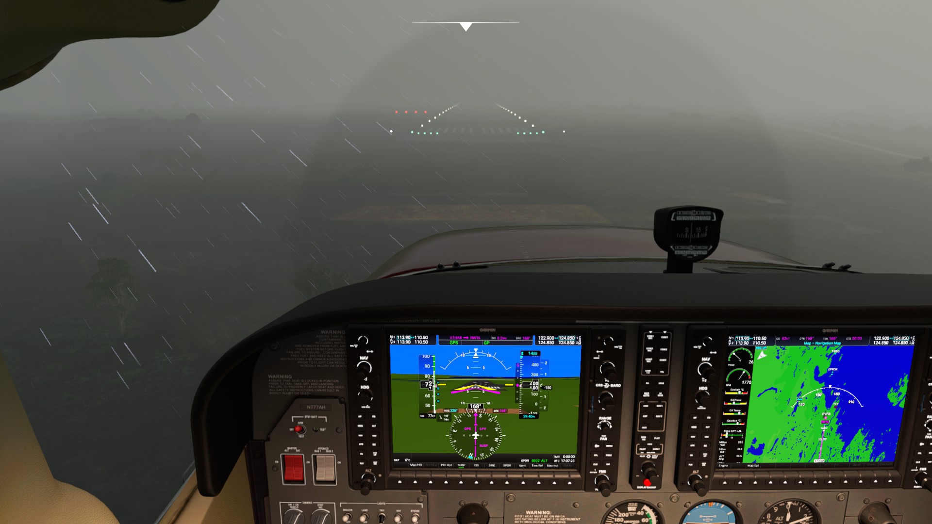
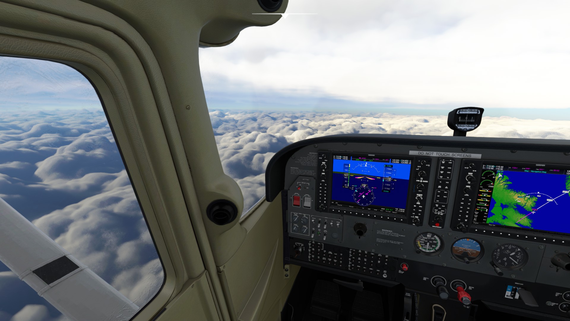
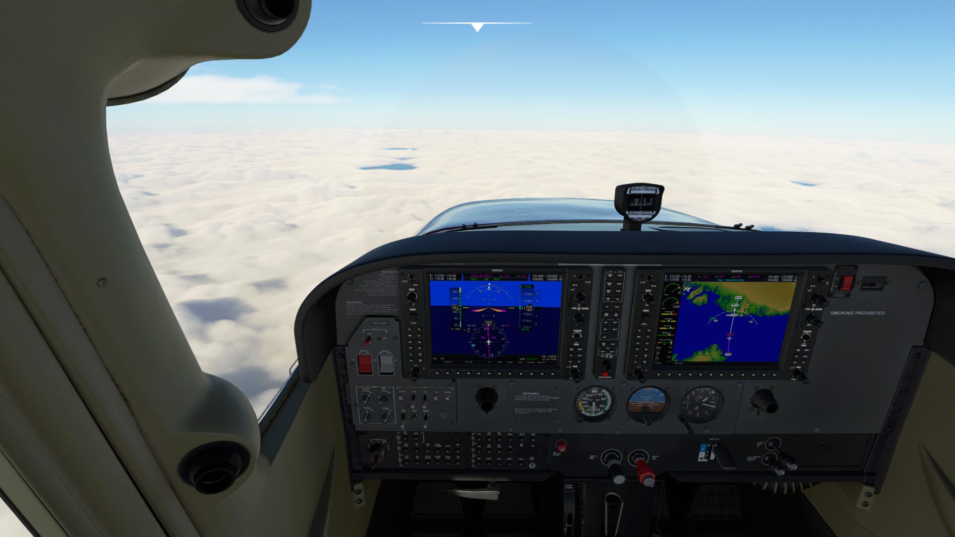
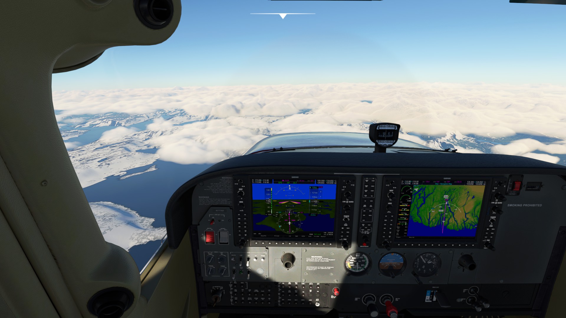
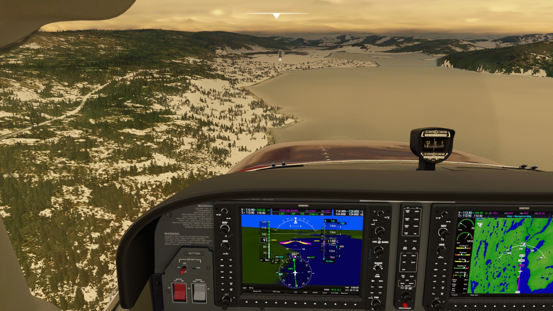
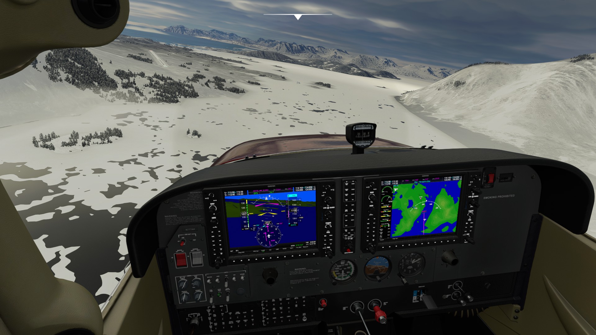
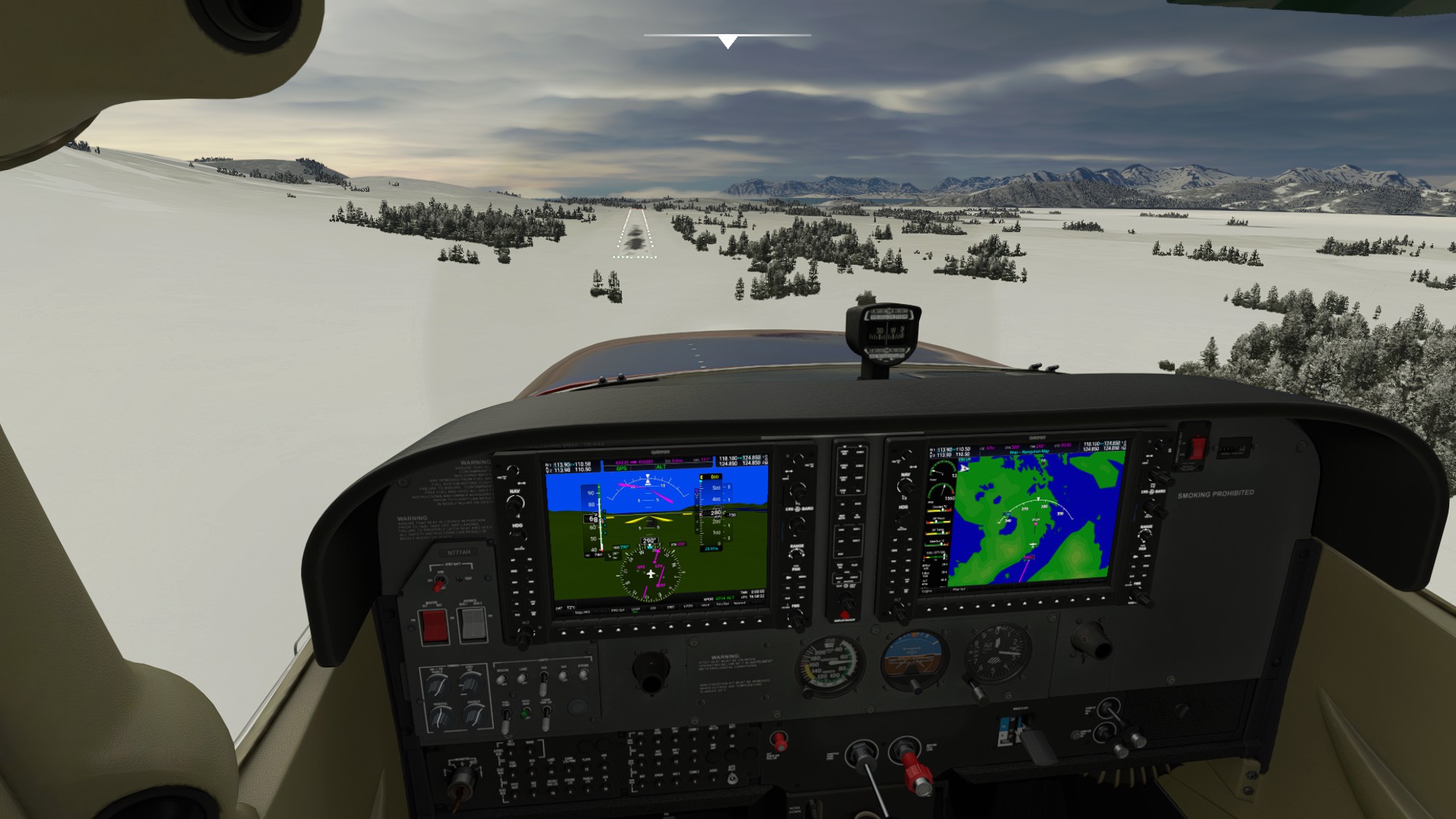
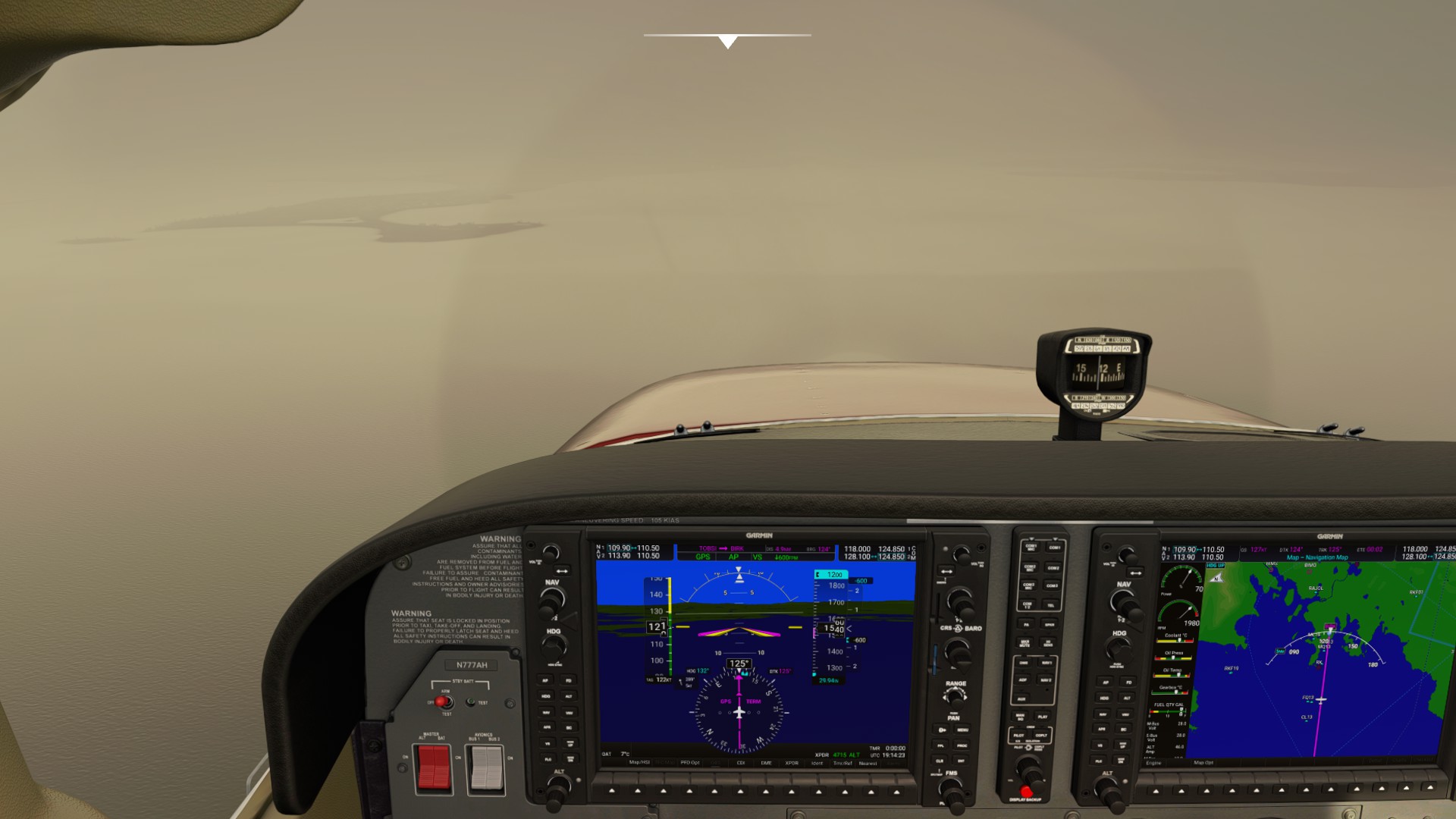
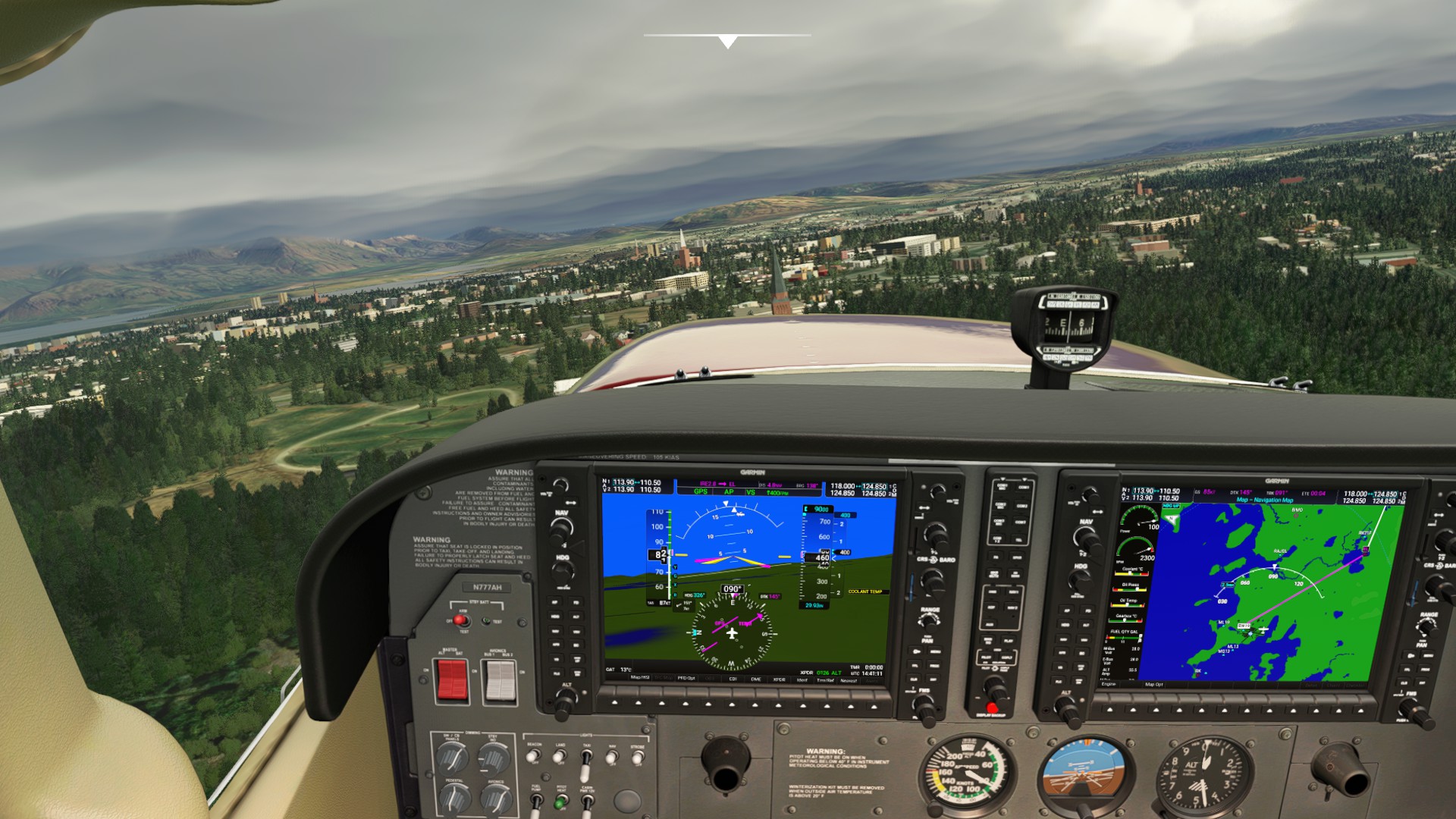
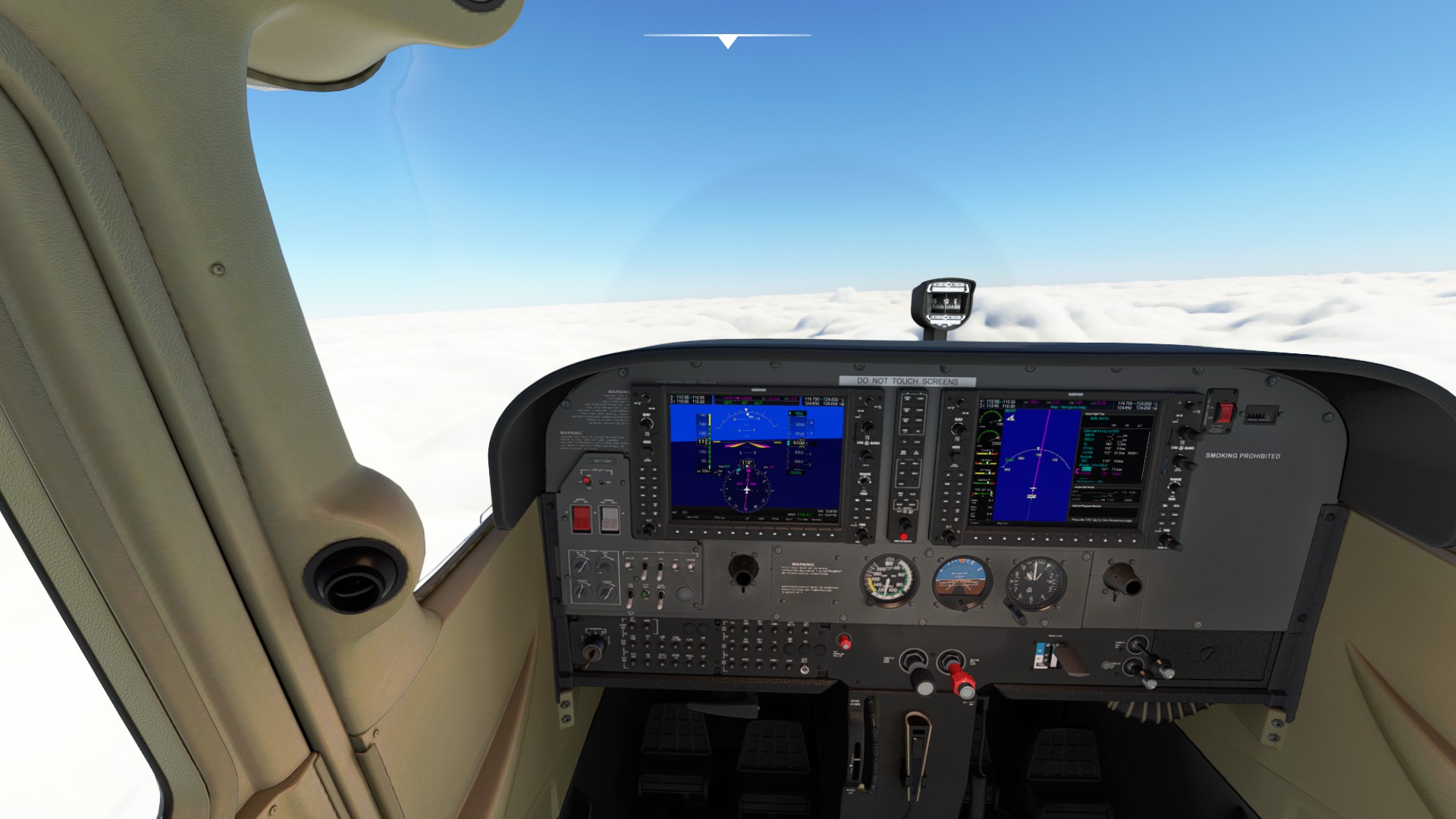
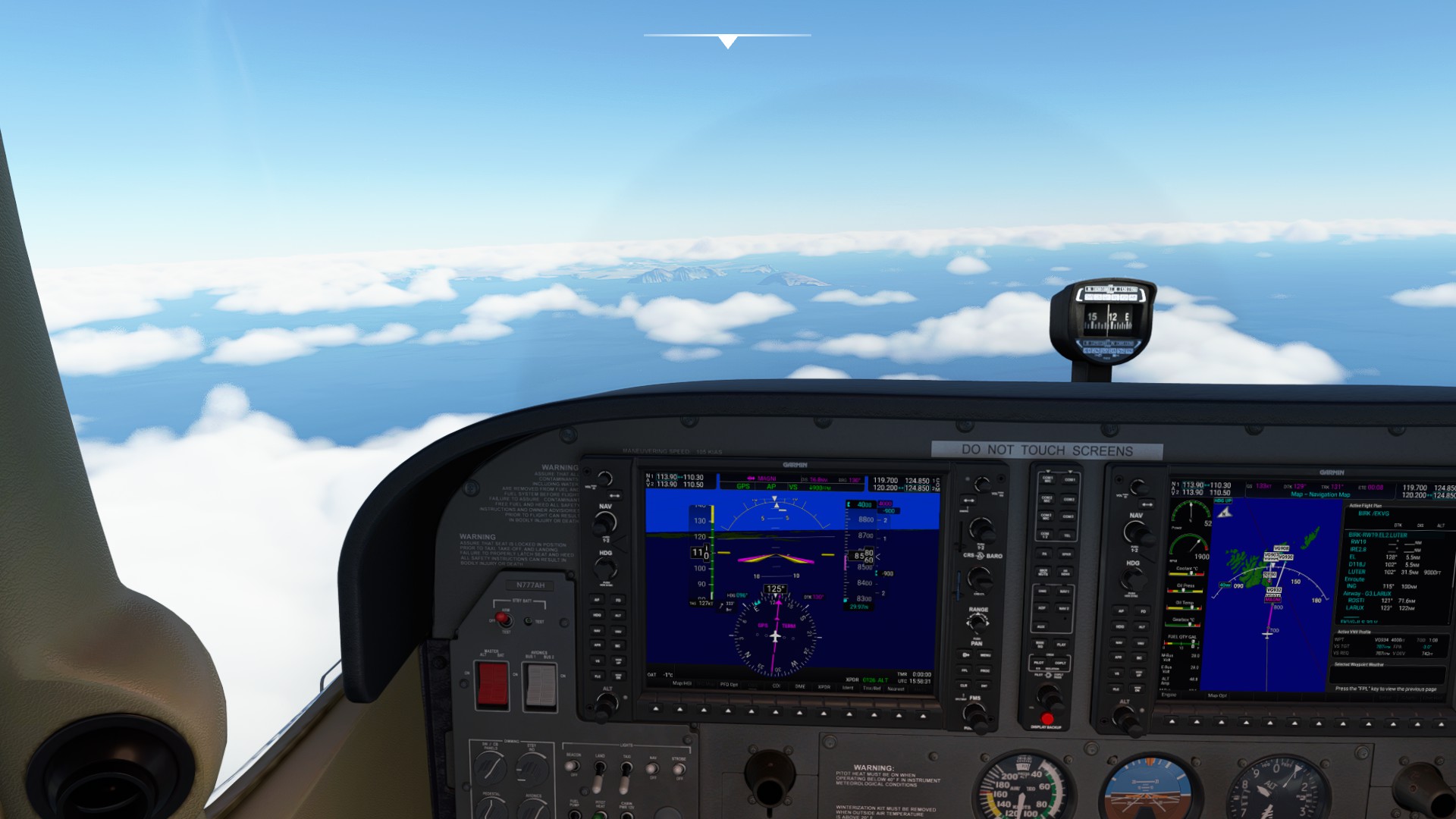
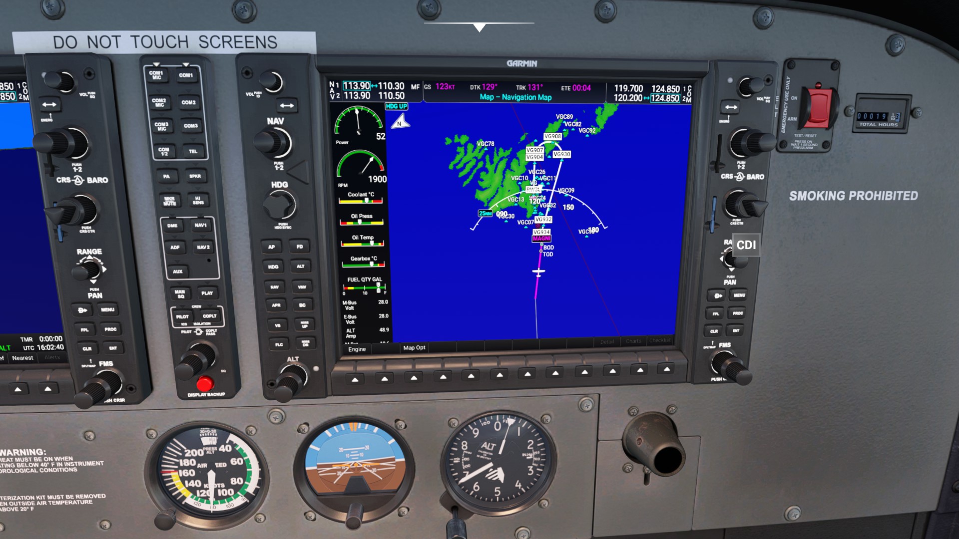
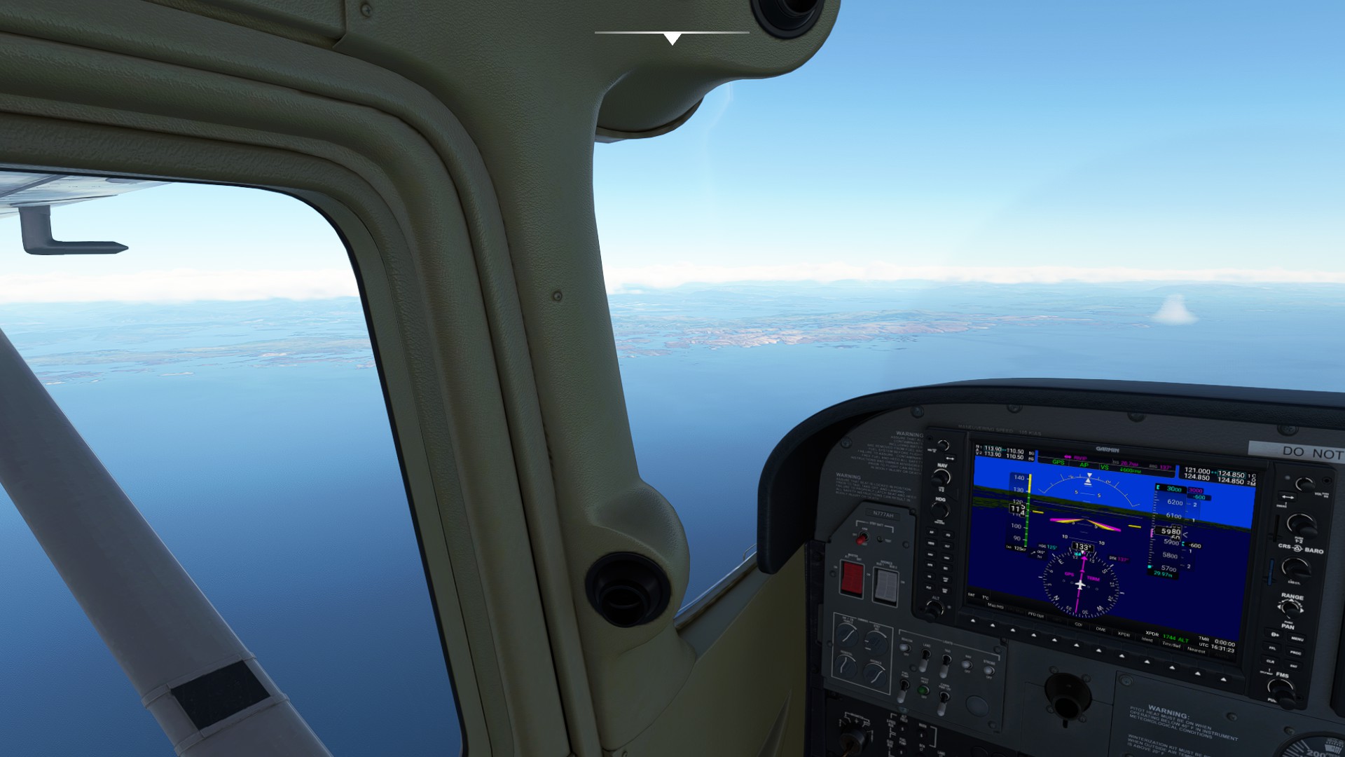
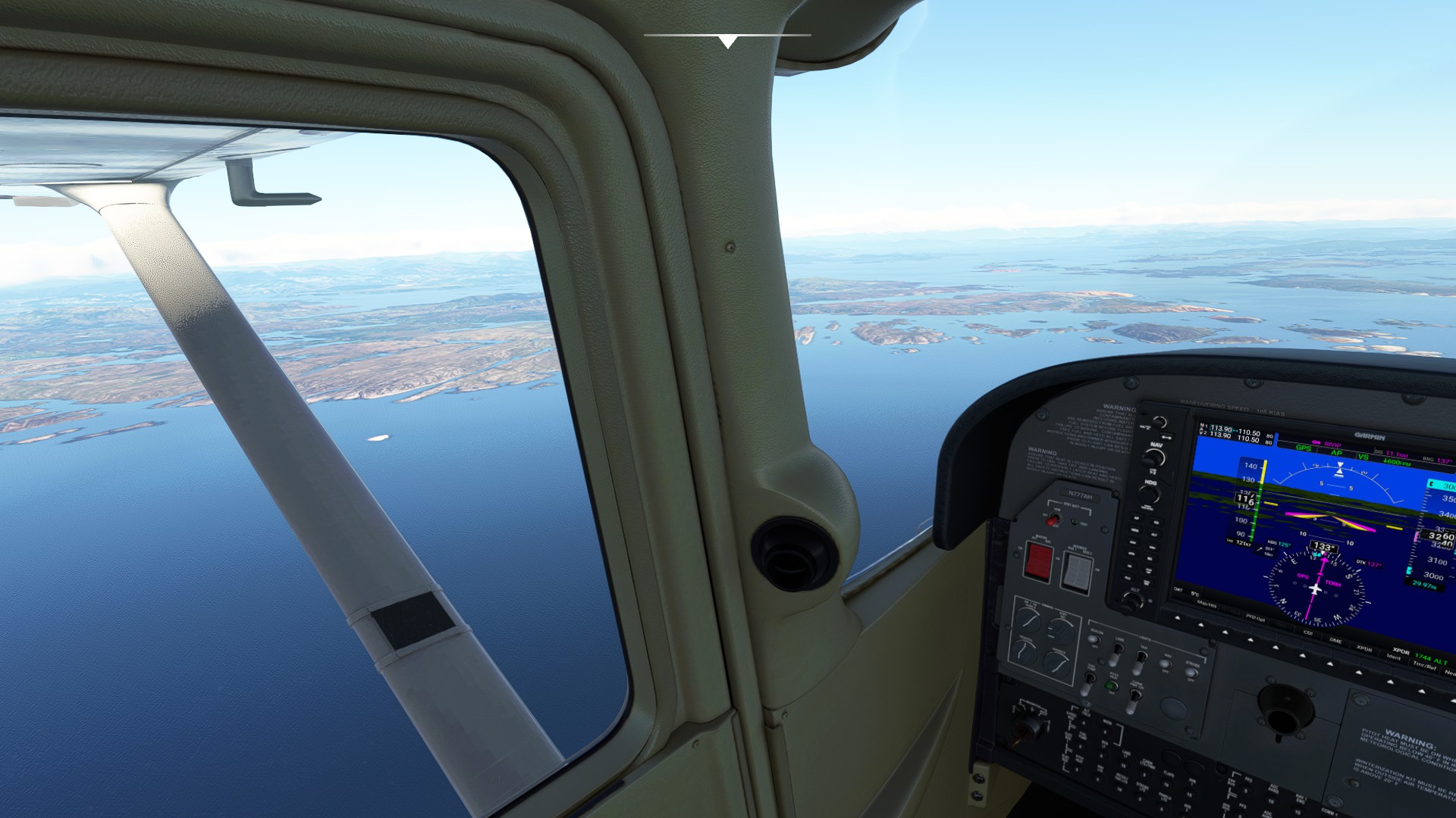
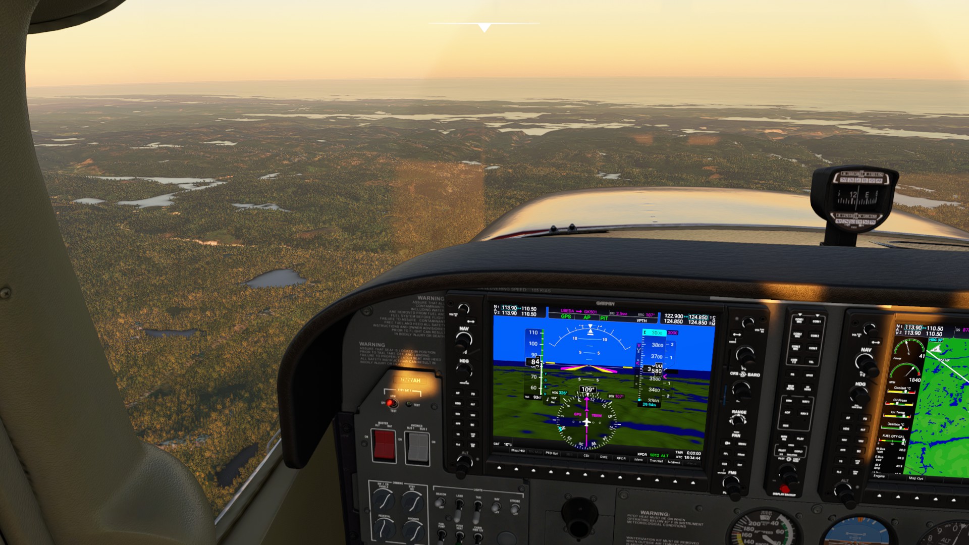
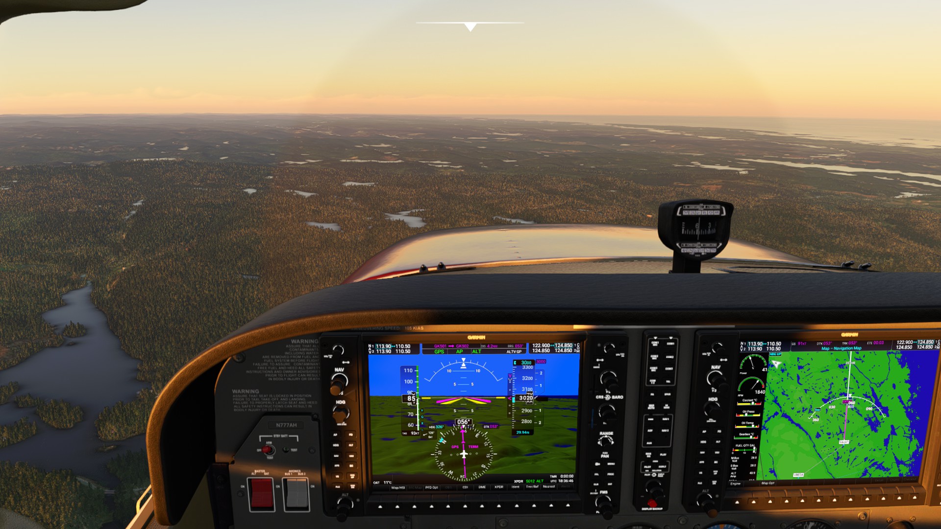
Pre-requisites: You’ll need TommyMxr’s excellent Cessna 172 JT-A Mod and for maximum realism, Working Title’s G1000 NXi available on the Marketplace in-sim.
Pilot’s Notes
Caution on loading the plans into MS Flight Planner - because they’re exported from Little Nav Map as Direct IFR plans, the planner insists on selecting a SID and a STAR as well as an Approach in advance. Unfortunately, if you override any of those (say you select Direct), the waypoints get changed/shuffled. Easiest workaround is to load the plan in LNM and either hand re-create it in MS Flight Planner or load in-cockpit on the Garmin (which is why NXi is a pre-requisite).
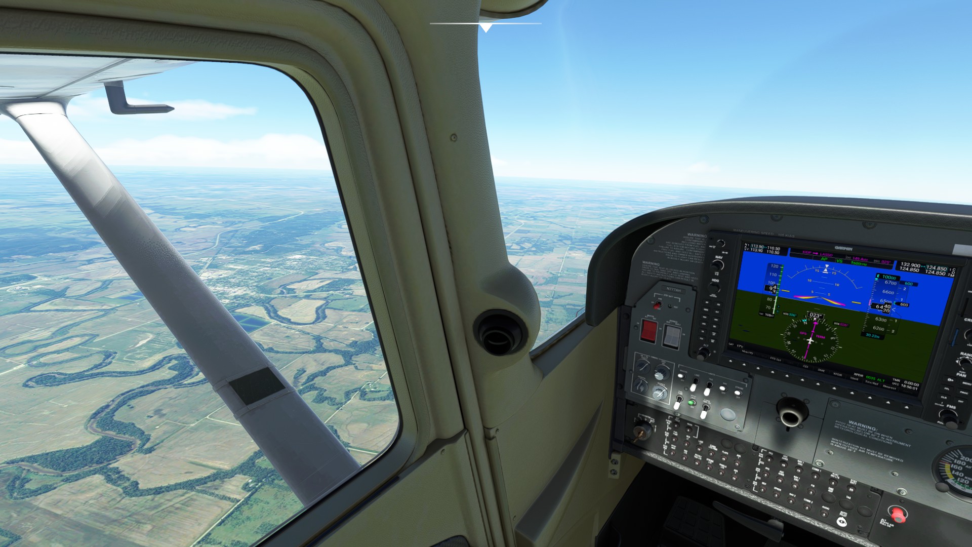
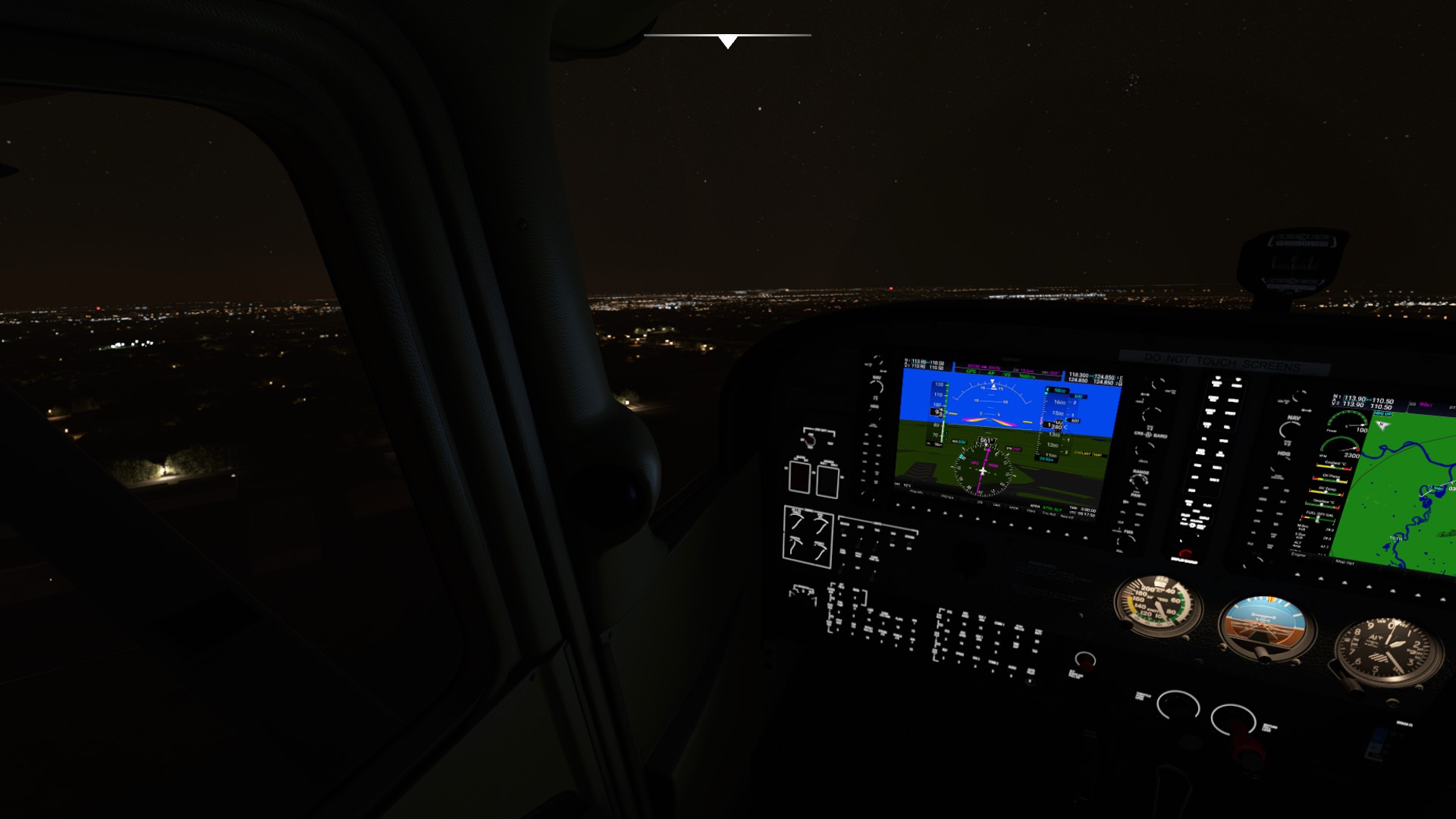
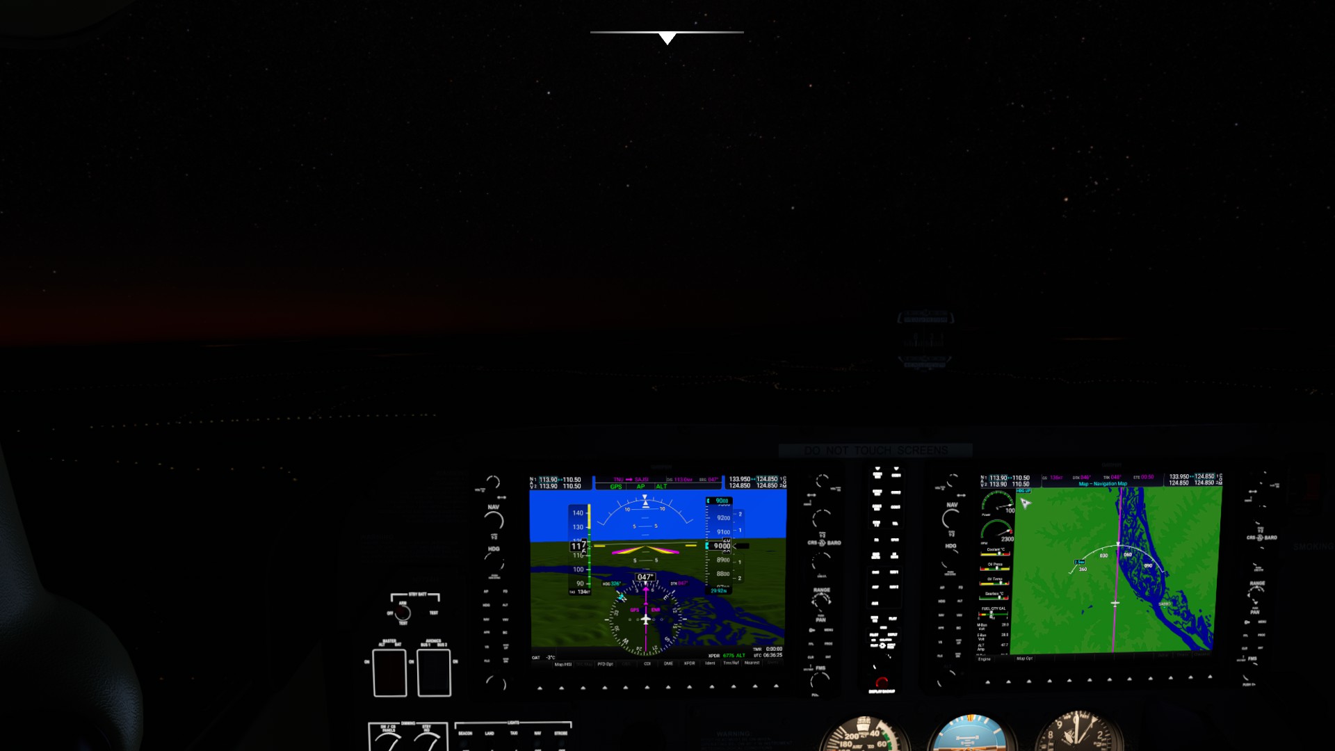
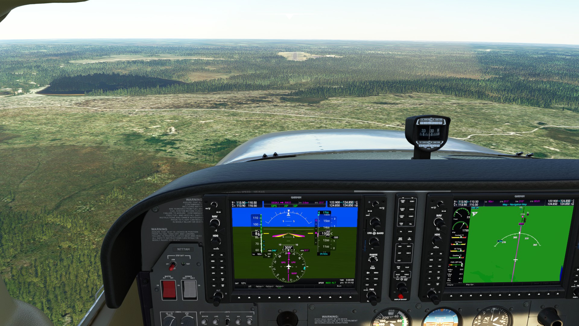
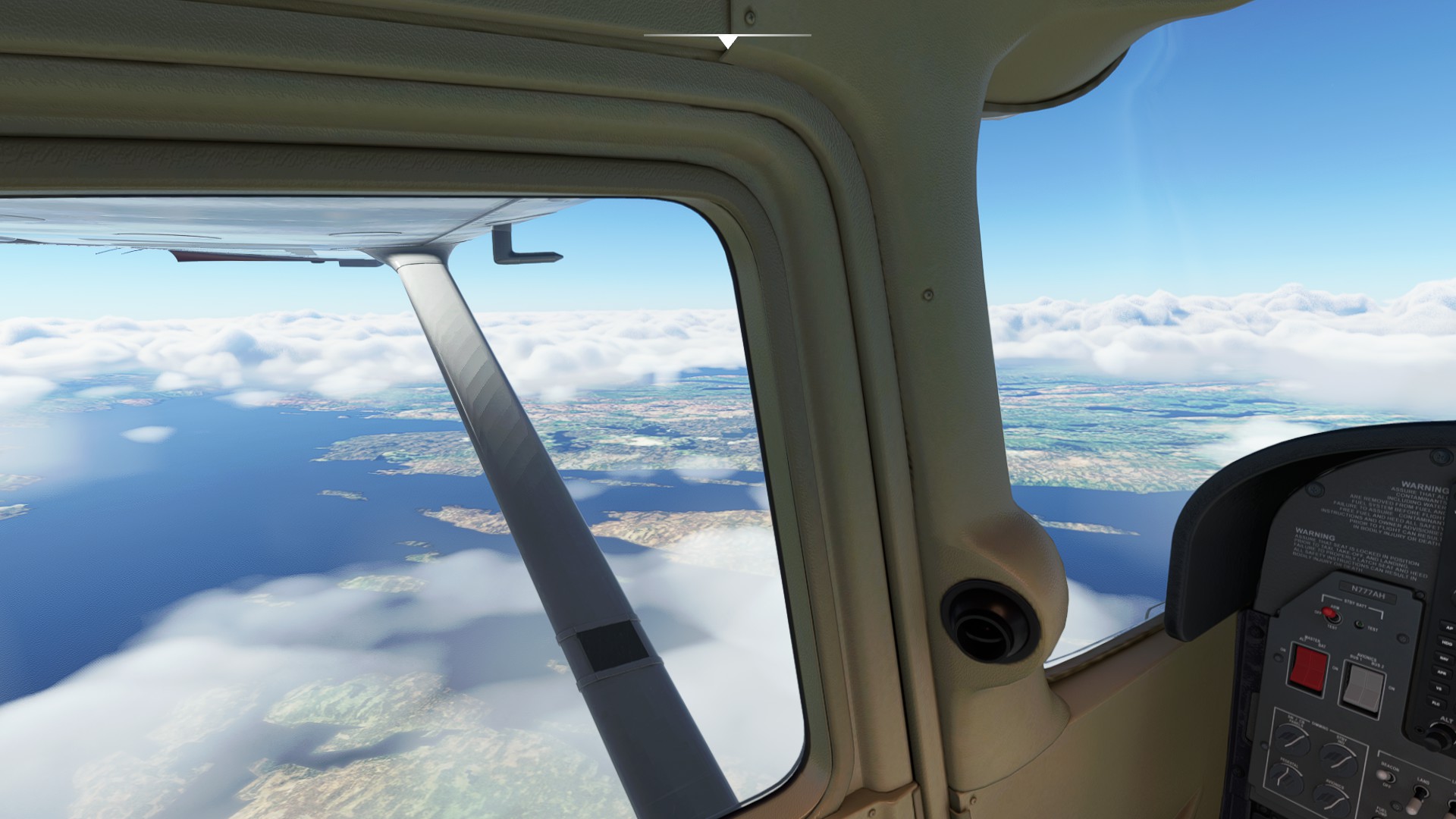
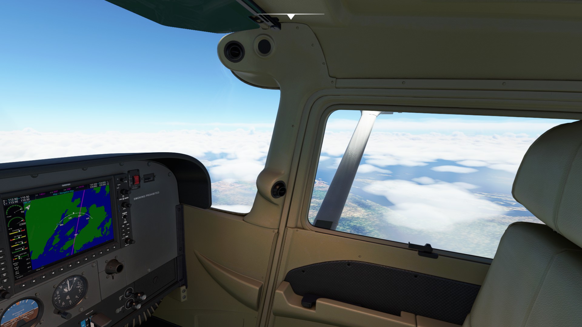
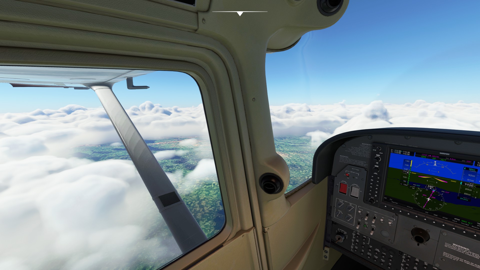
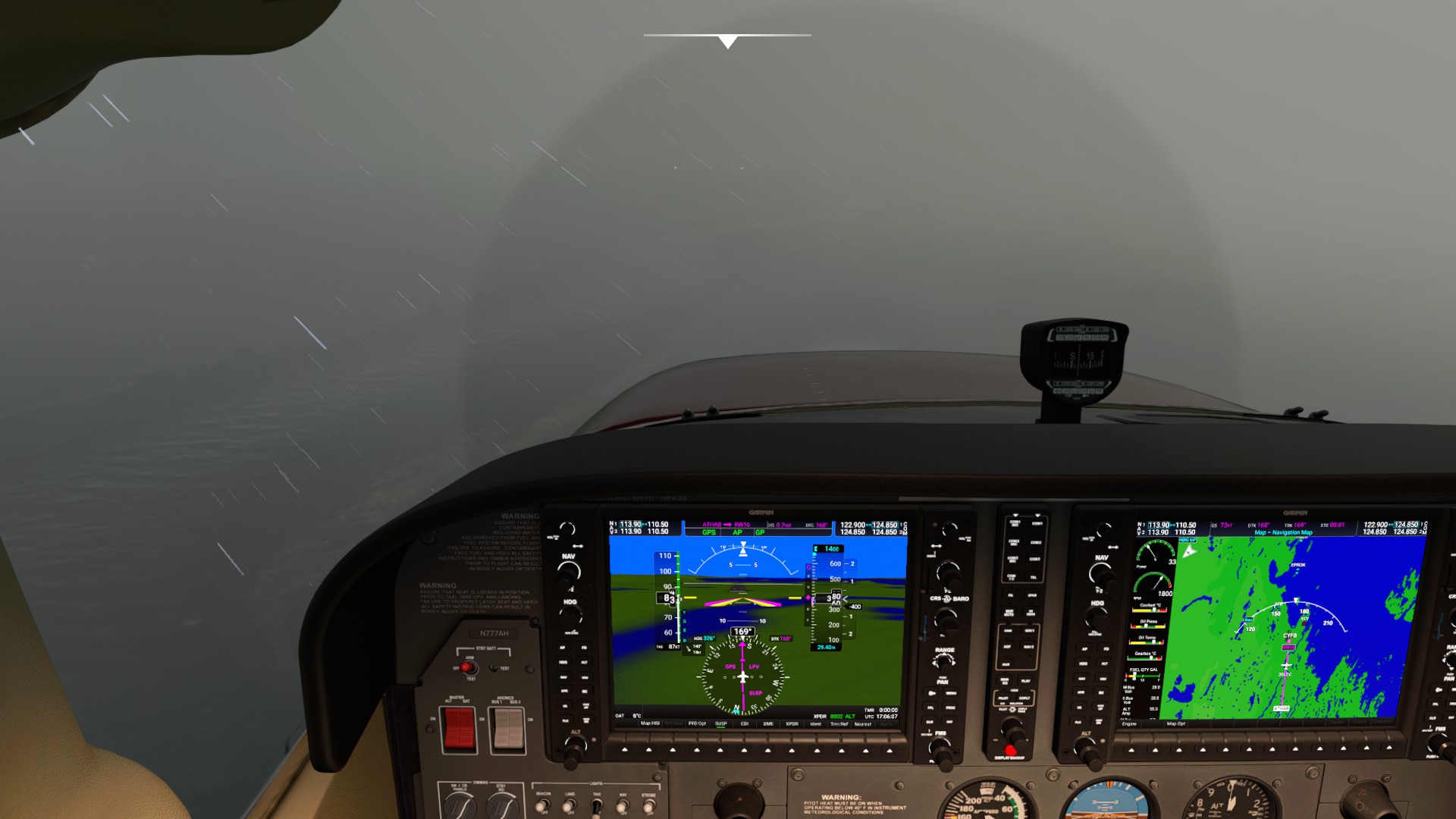
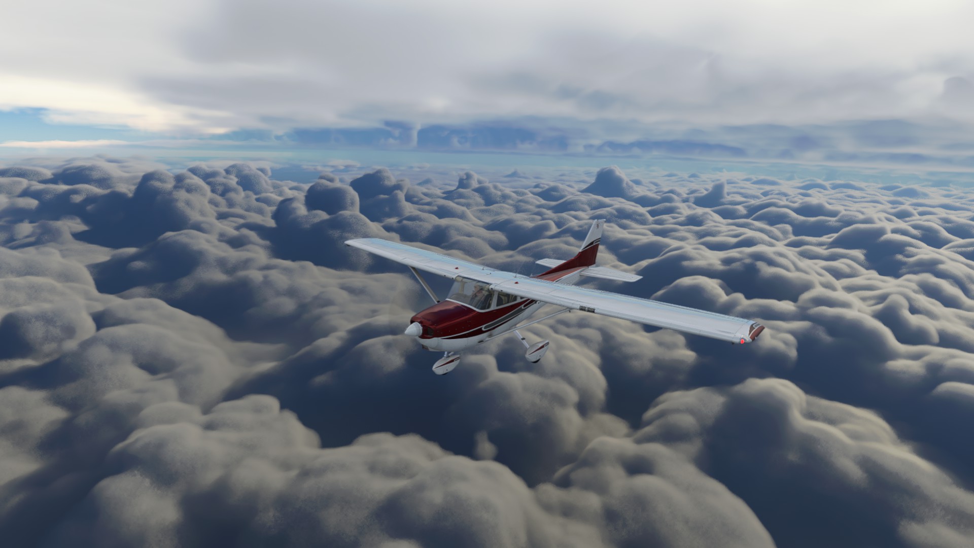
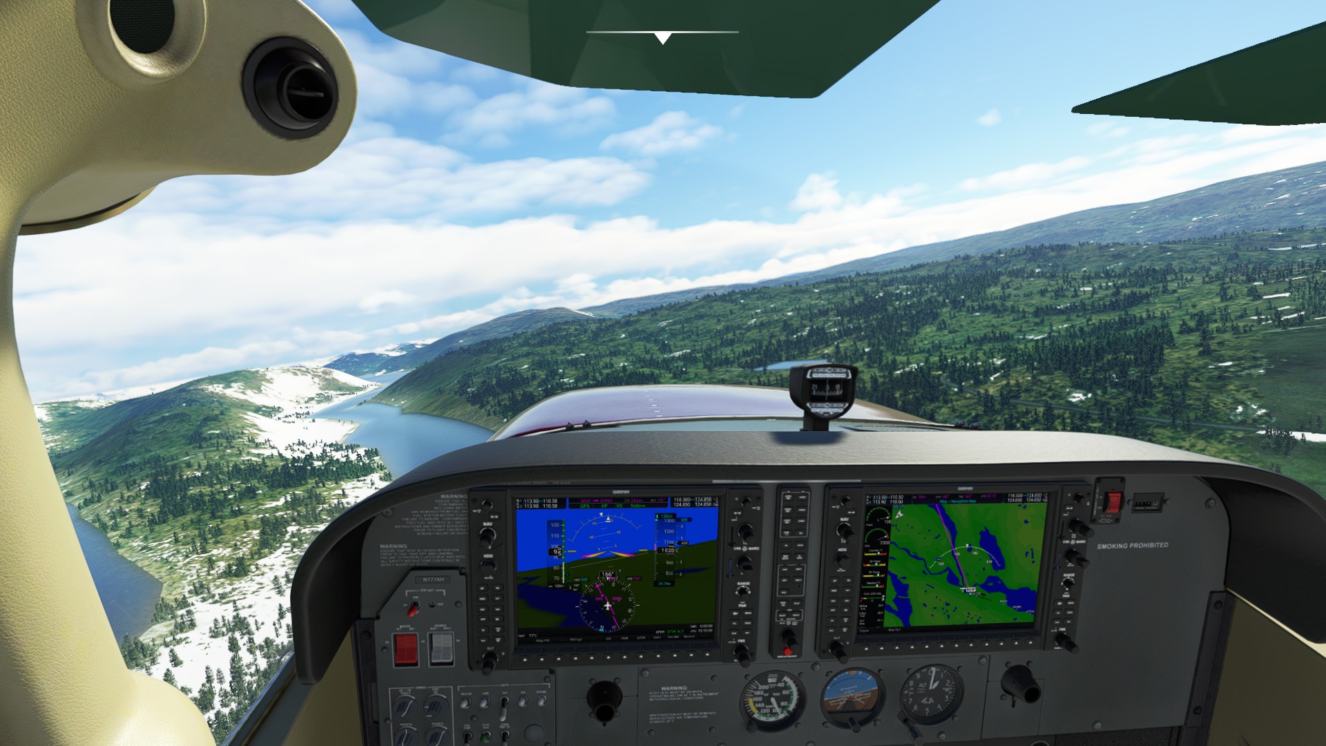
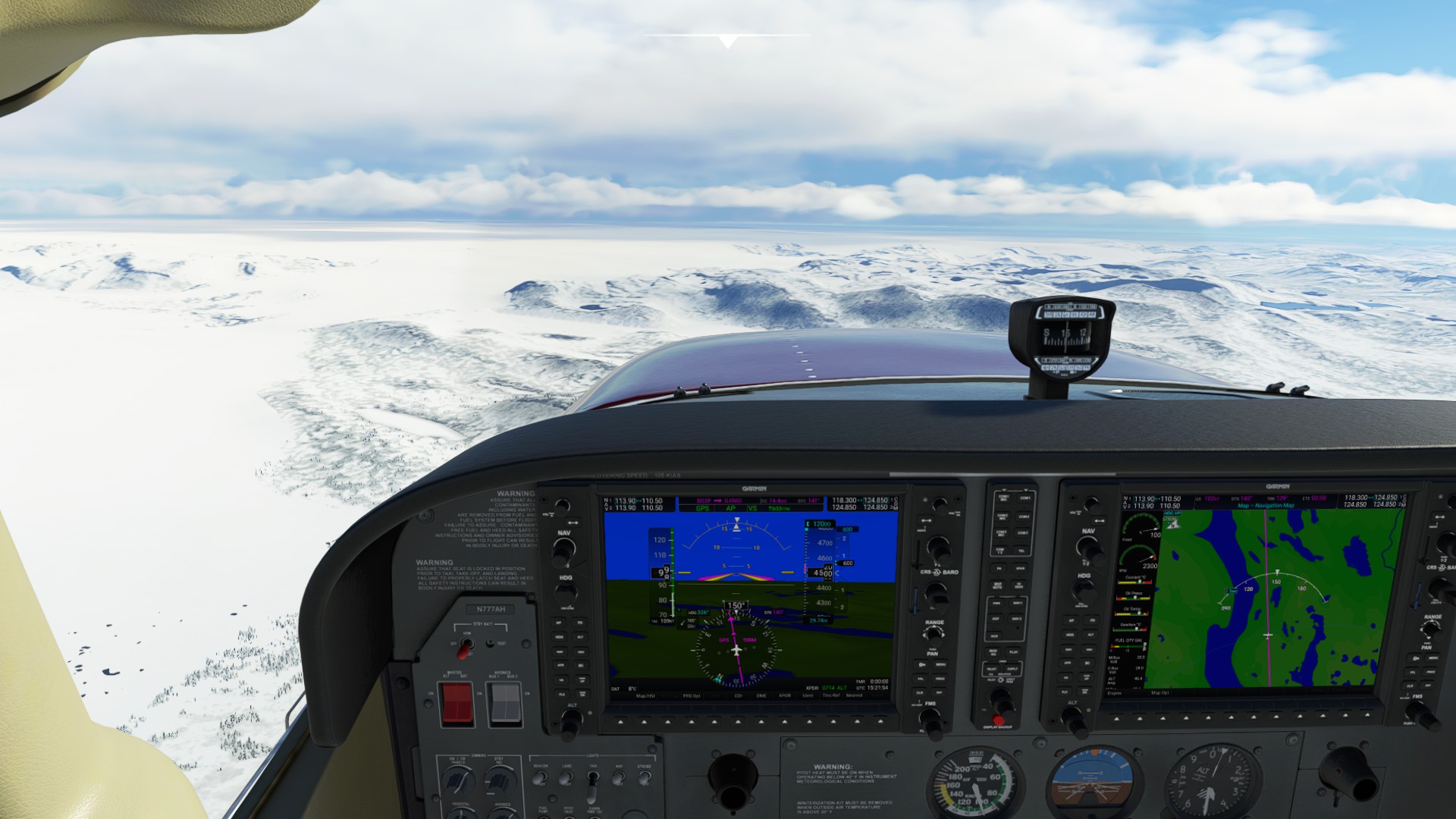
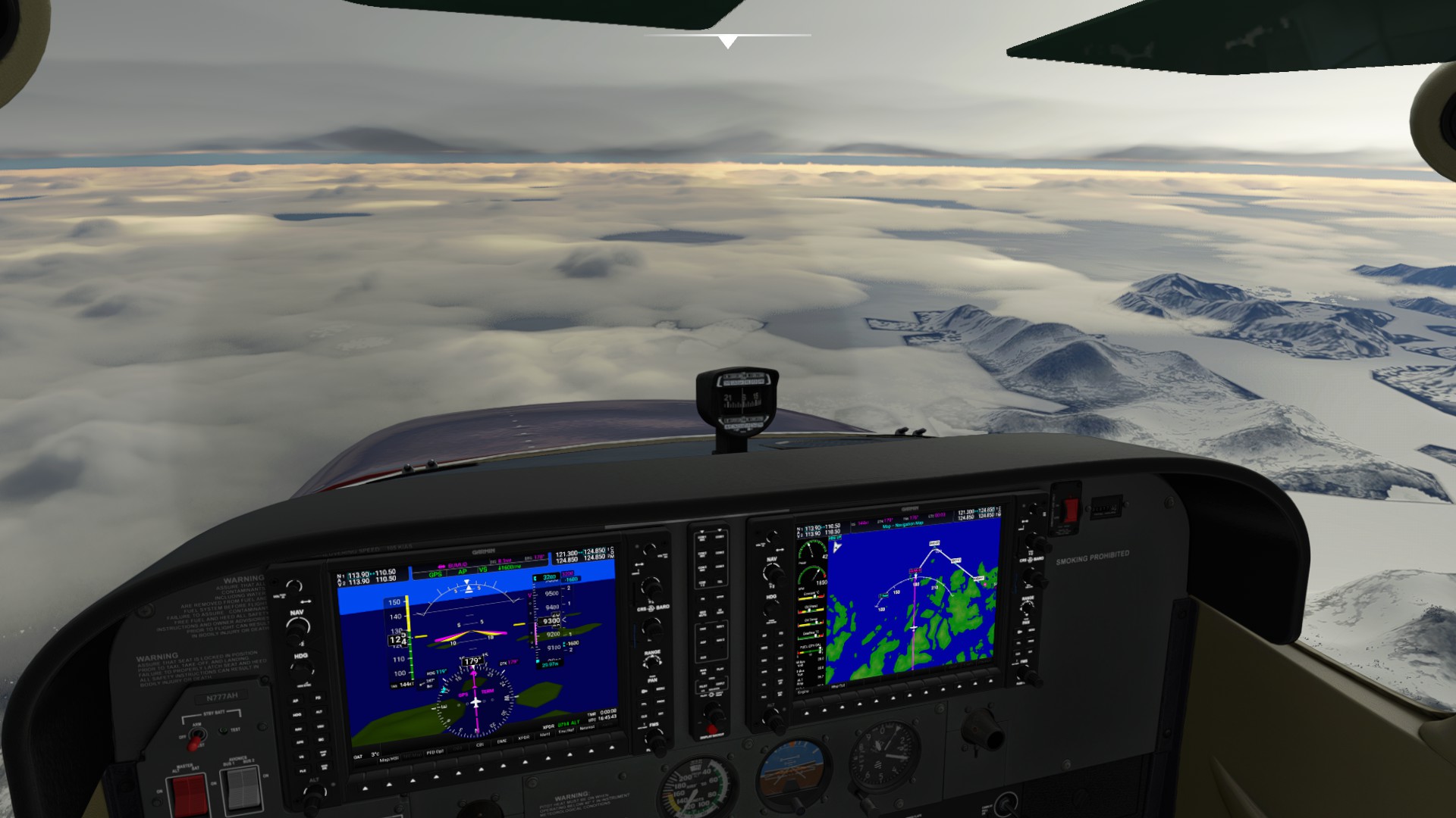
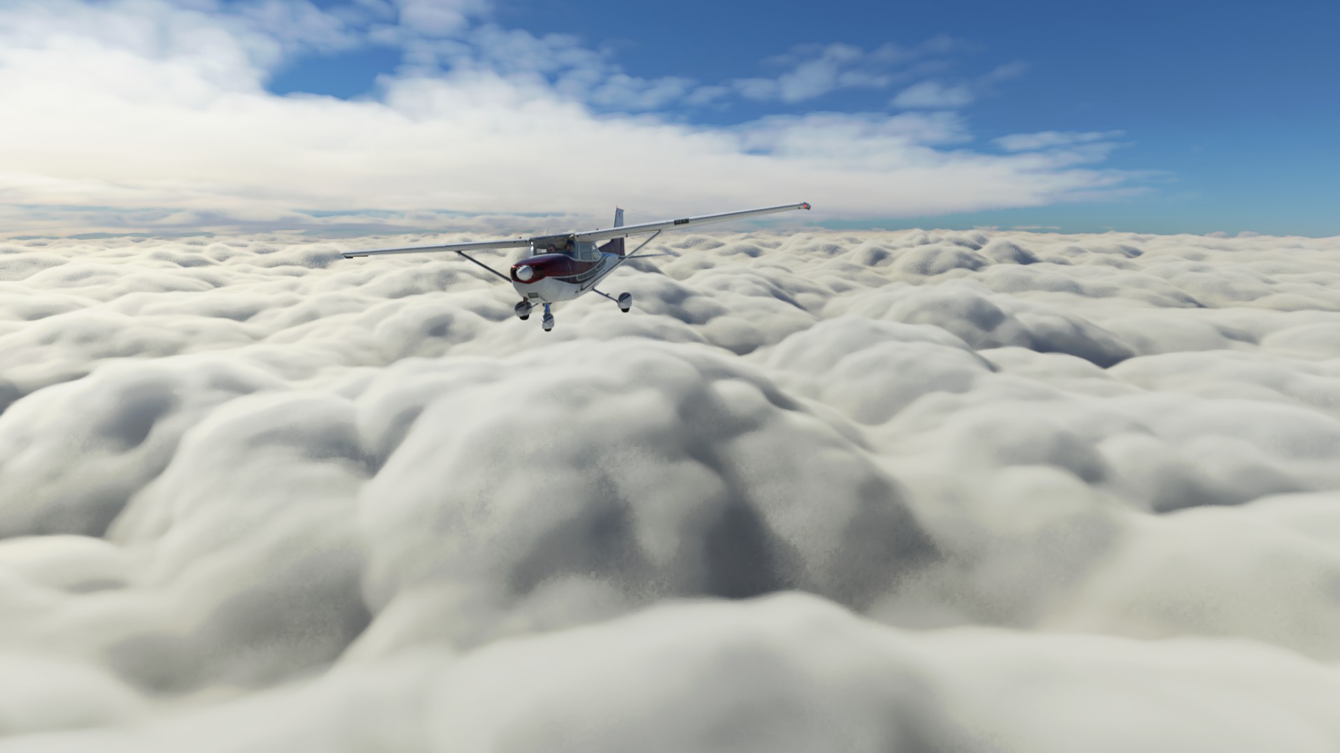
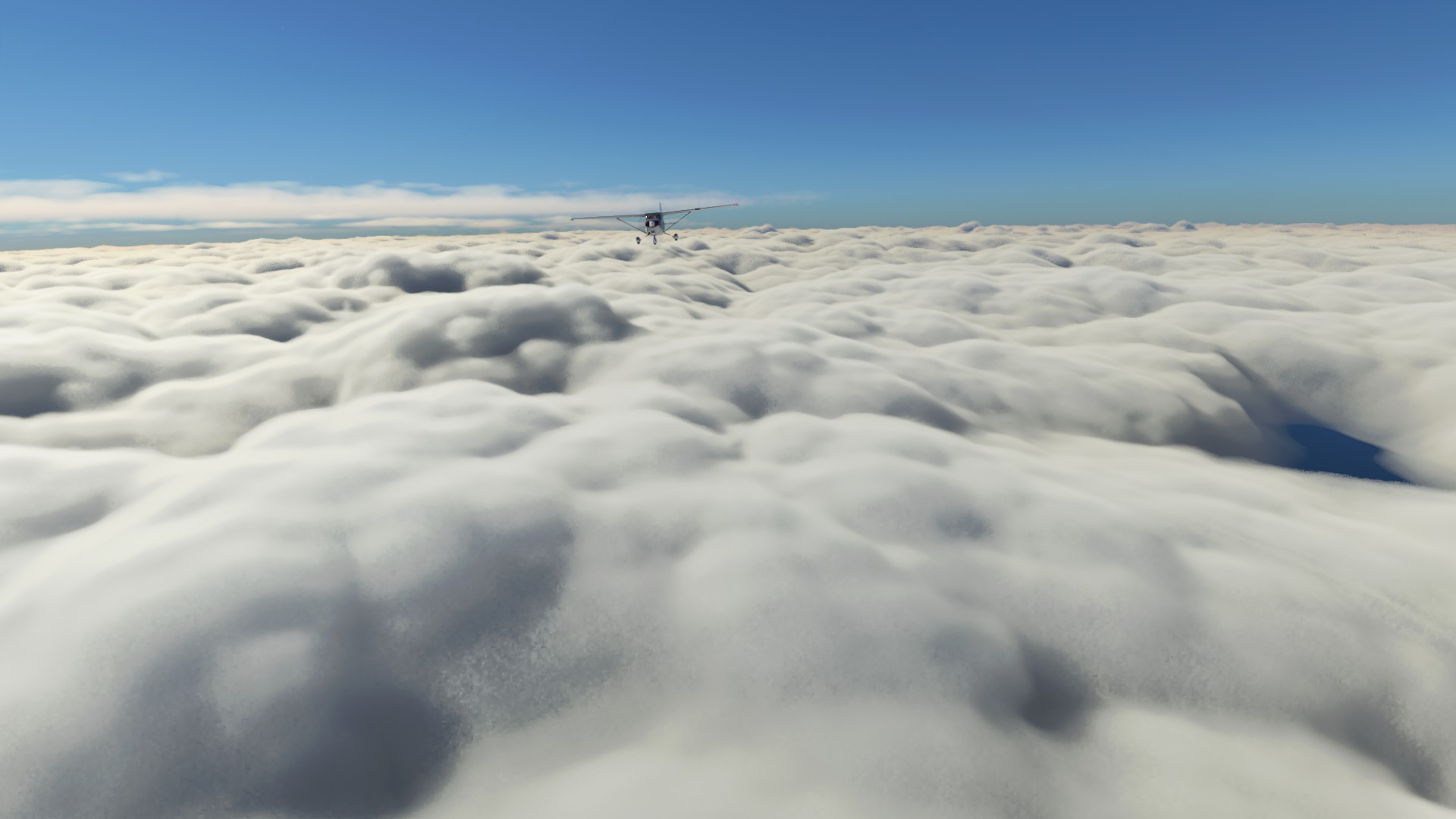
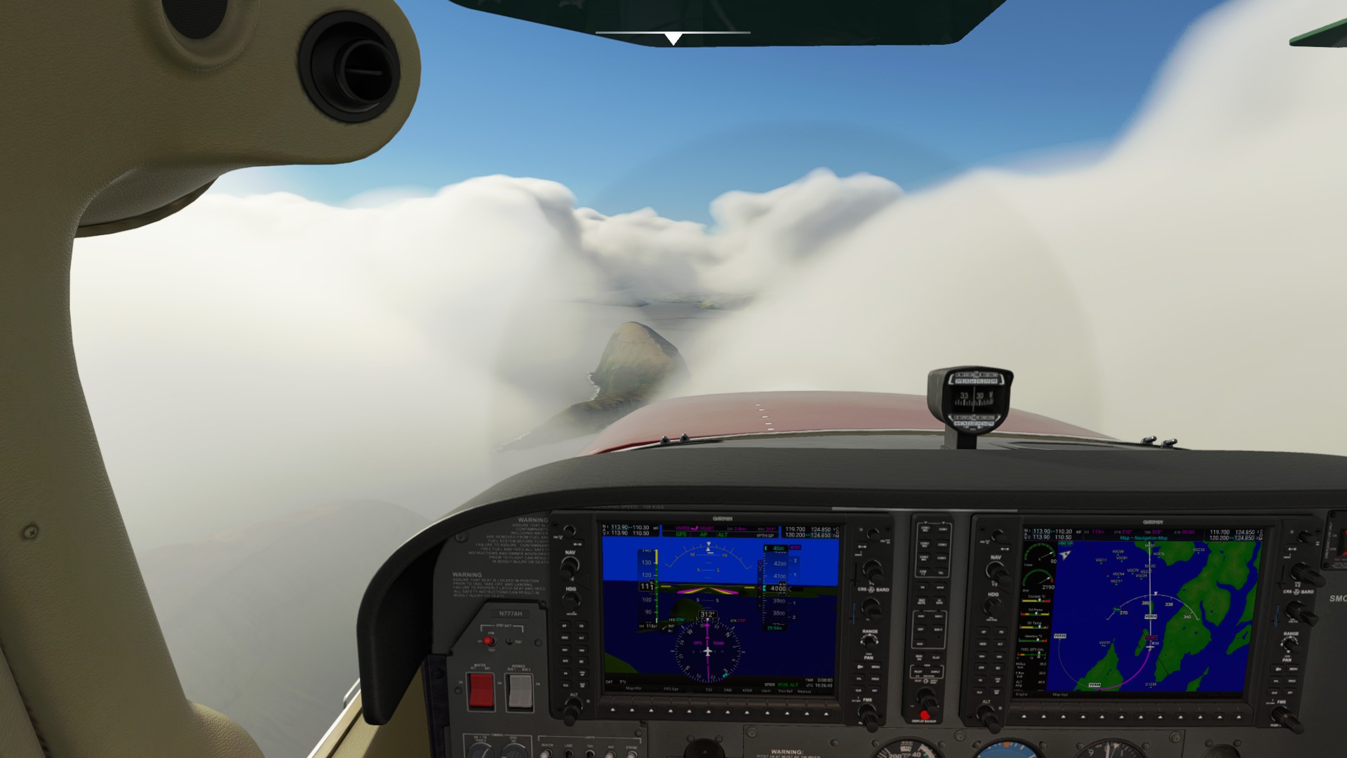
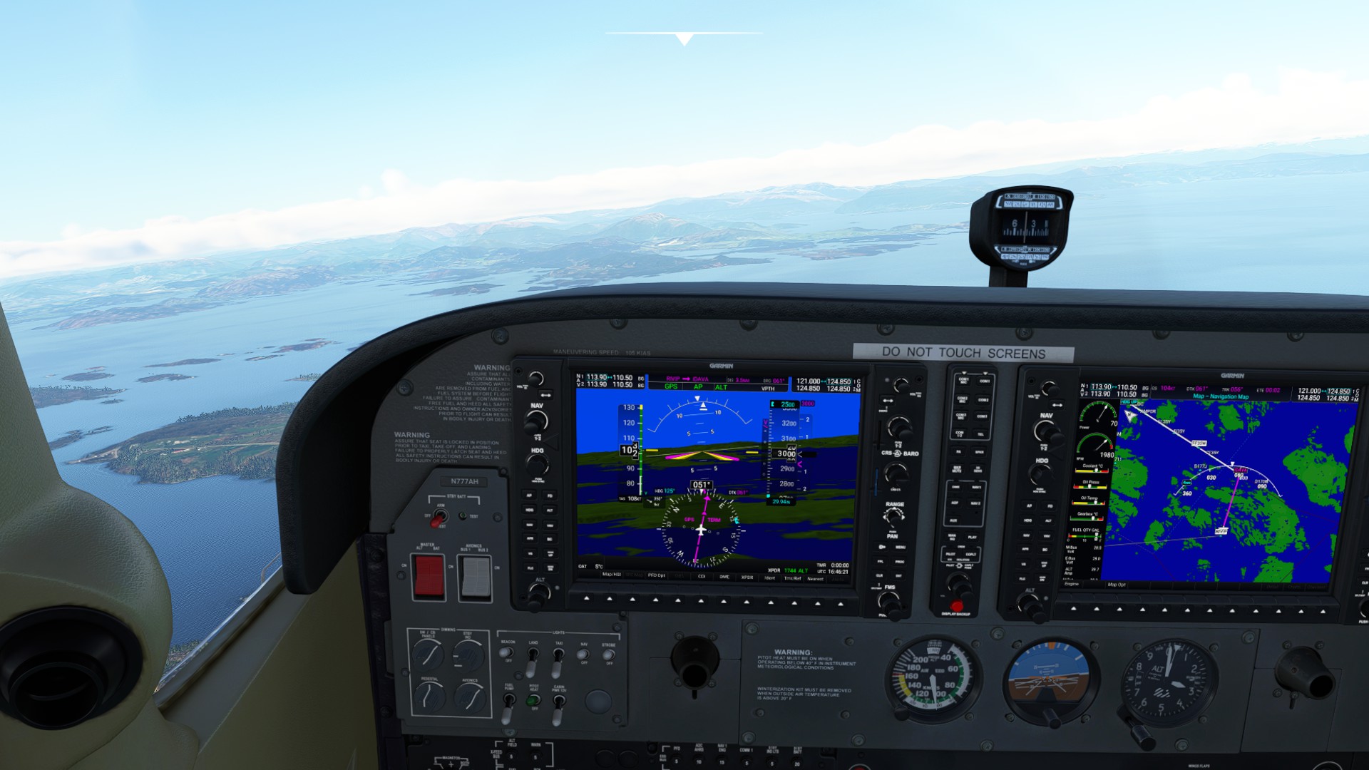
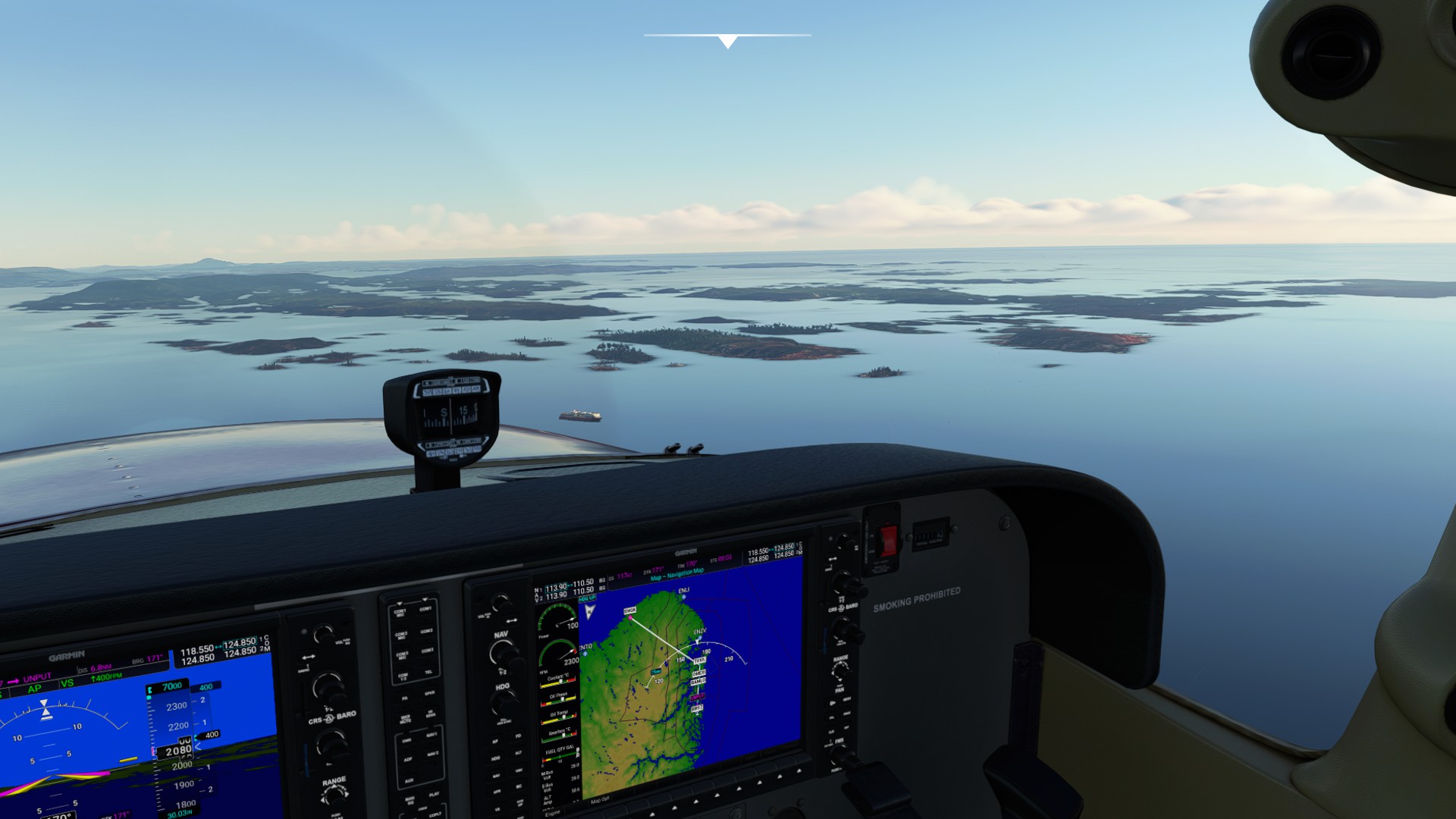
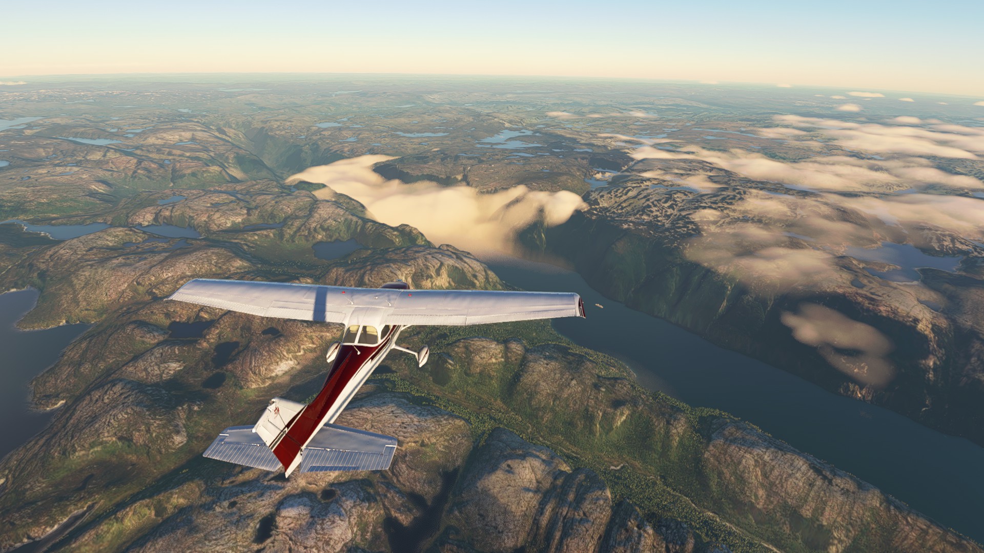
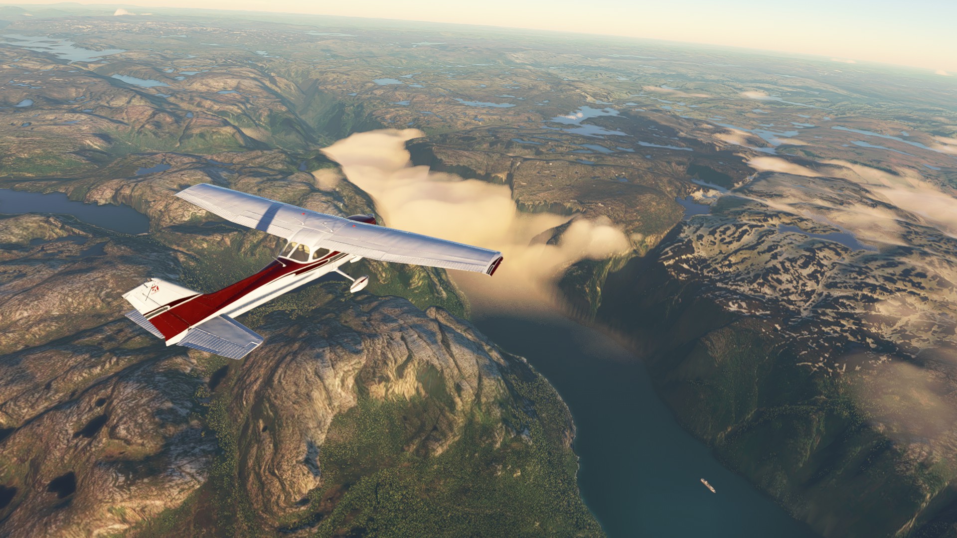
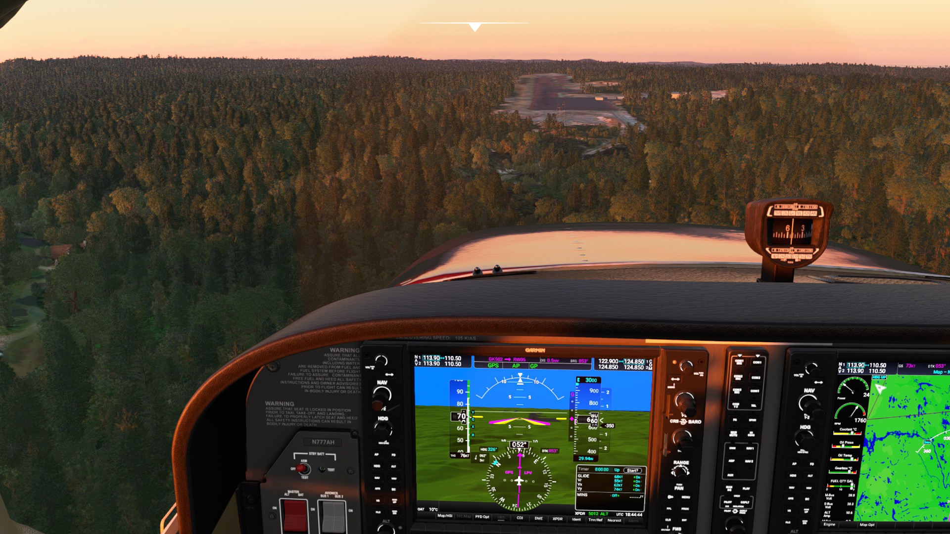
Most plans are at 9,000 MEA. You’ll need to adjust accordingly. Some legs will require going higher - probably around 17,000 which is the practical max altitude for the turbo-diesel. The fuel capacity was not reduced to the usable 45 gals. on the JT-A, but it facilitates making the extended range of the turbo-diesel version possible in-sim; plan on operating at 70 percent torque power which should give you just around 112 KTAS for most cruise operations. You’ll be pushing the limits of long endurance for single engine - or your personal best sitting in a virtual cockpit seat.
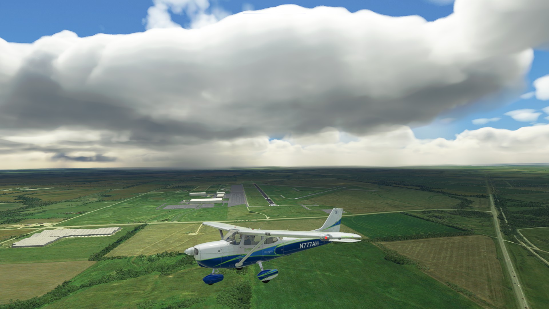
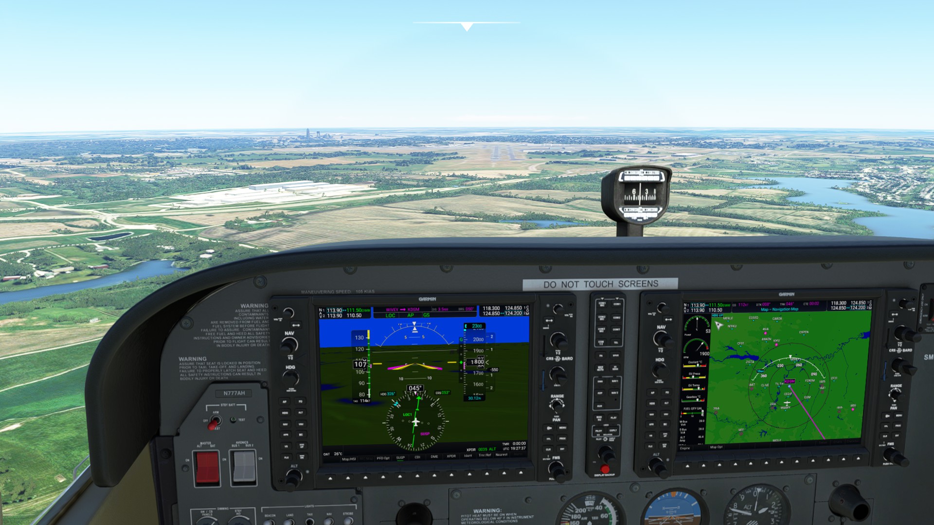
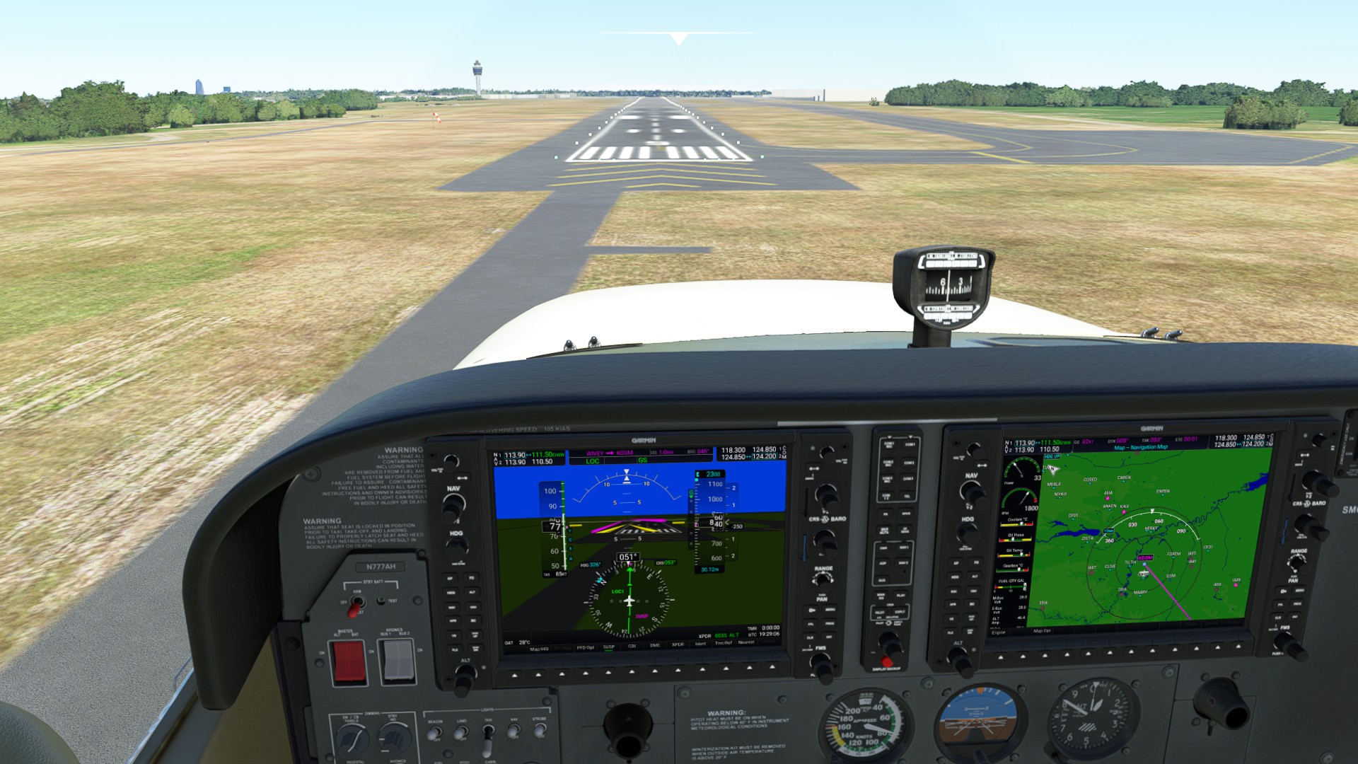
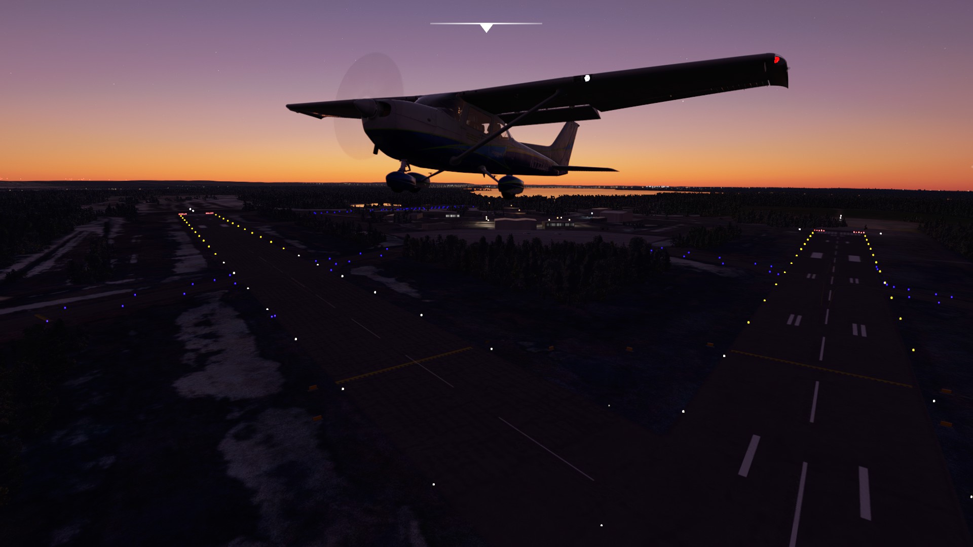
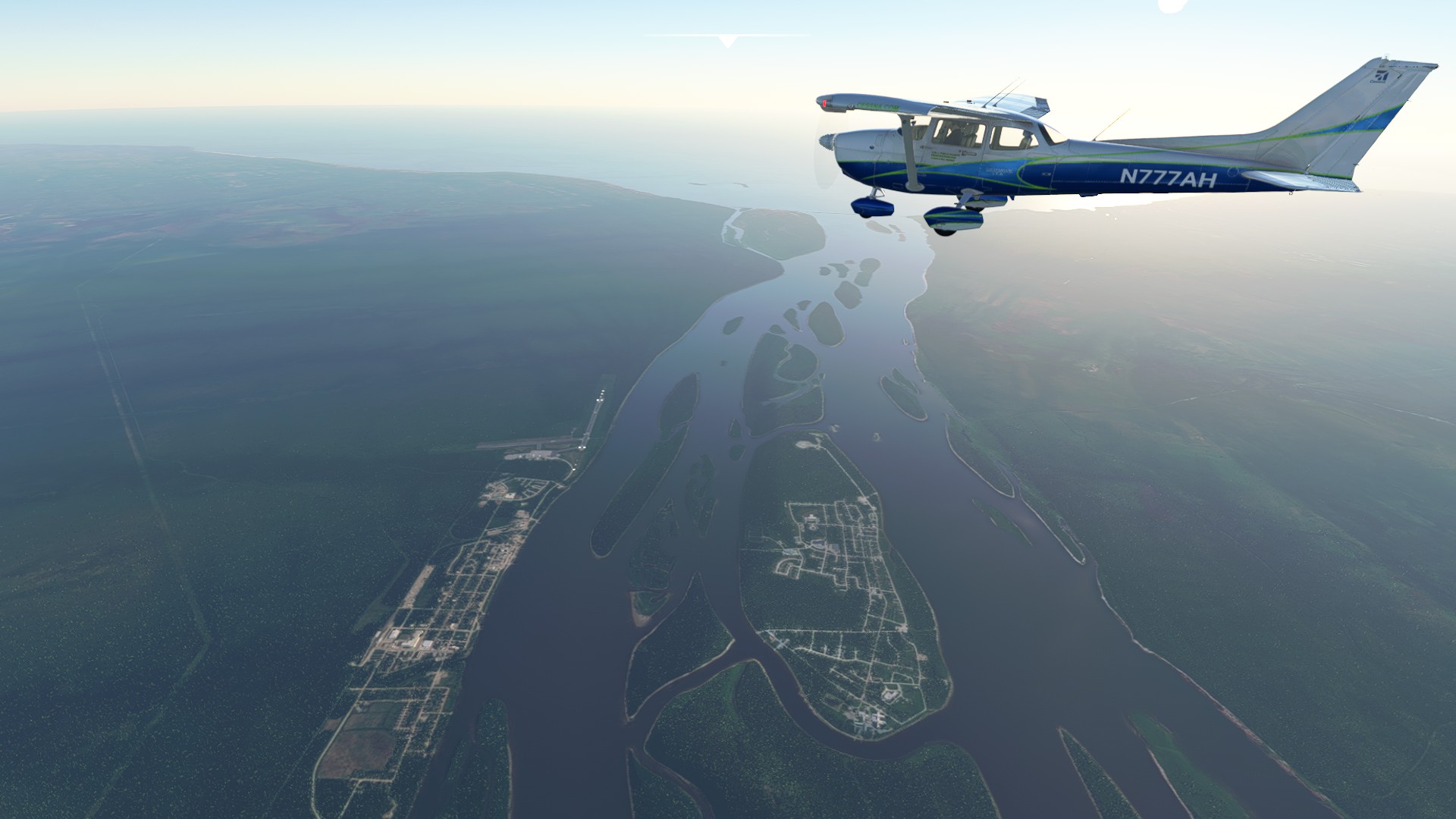
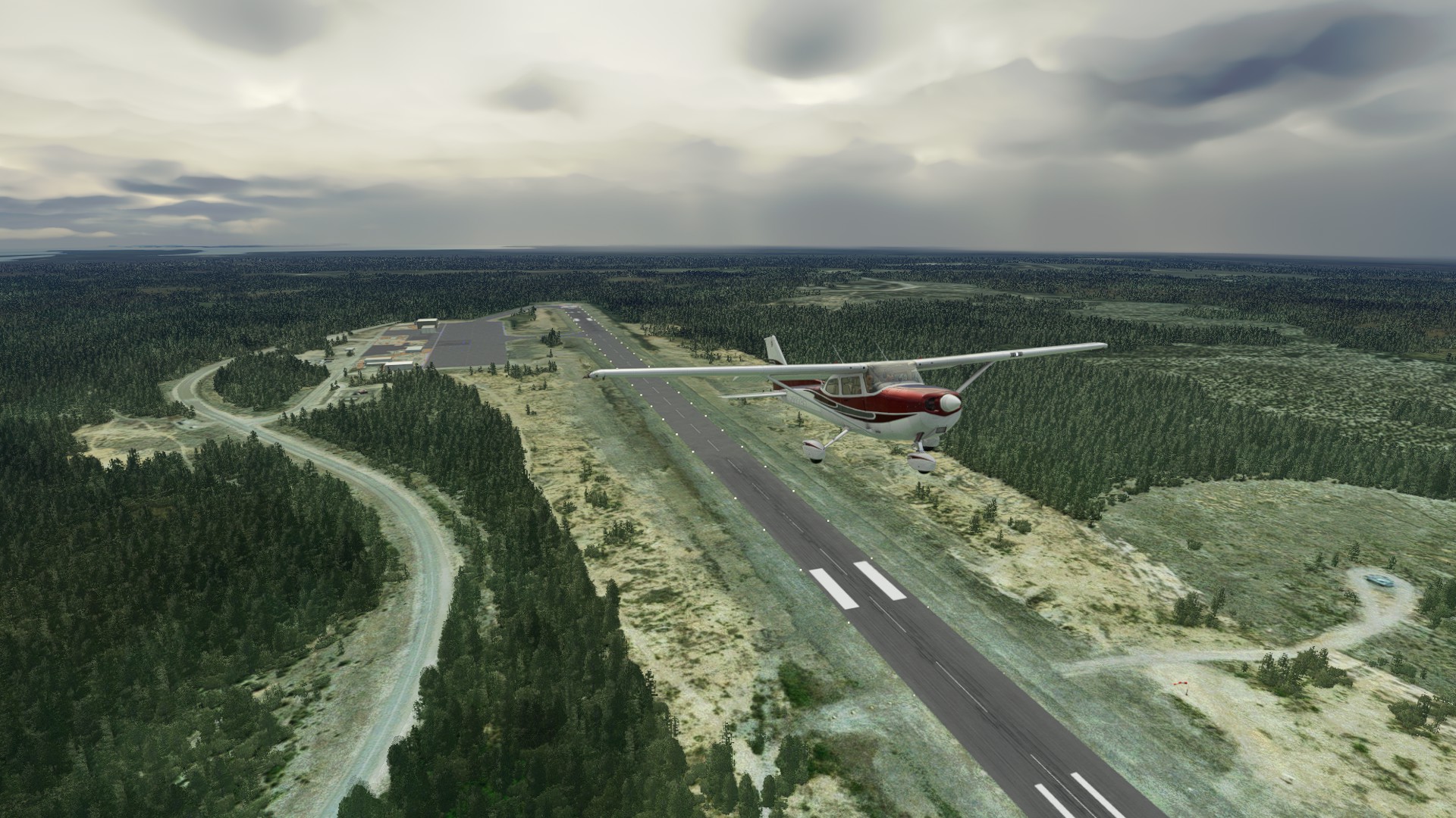
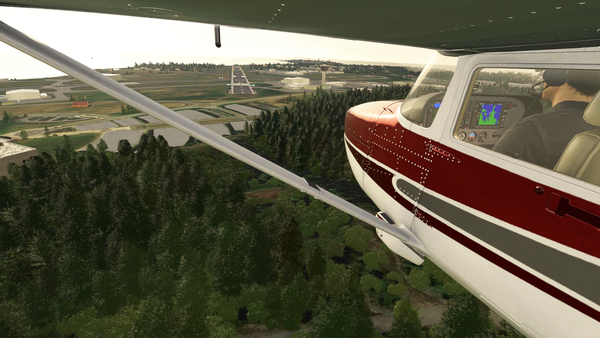
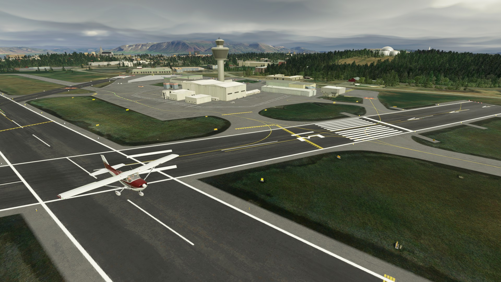
Leg 2: Des Moines International Airport (Des Moines IA USA) to Sault Ste Marie, Canada.
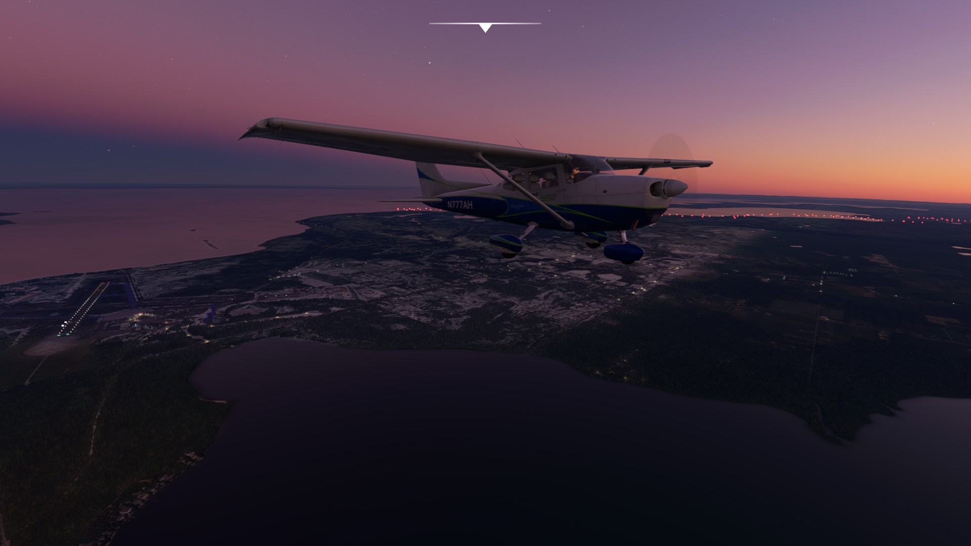
Leg 3: Sault Ste Marie, Canada to La Grande Riviere, Canada.
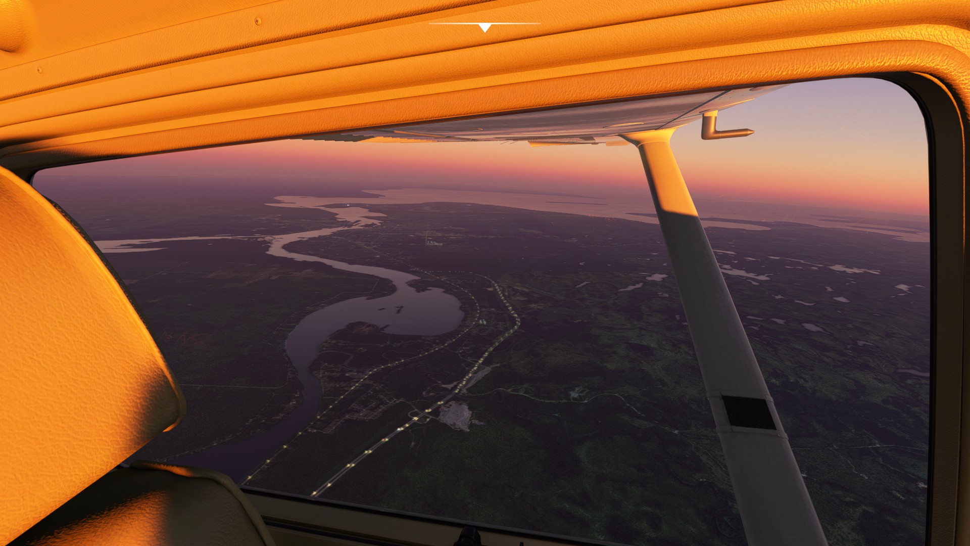
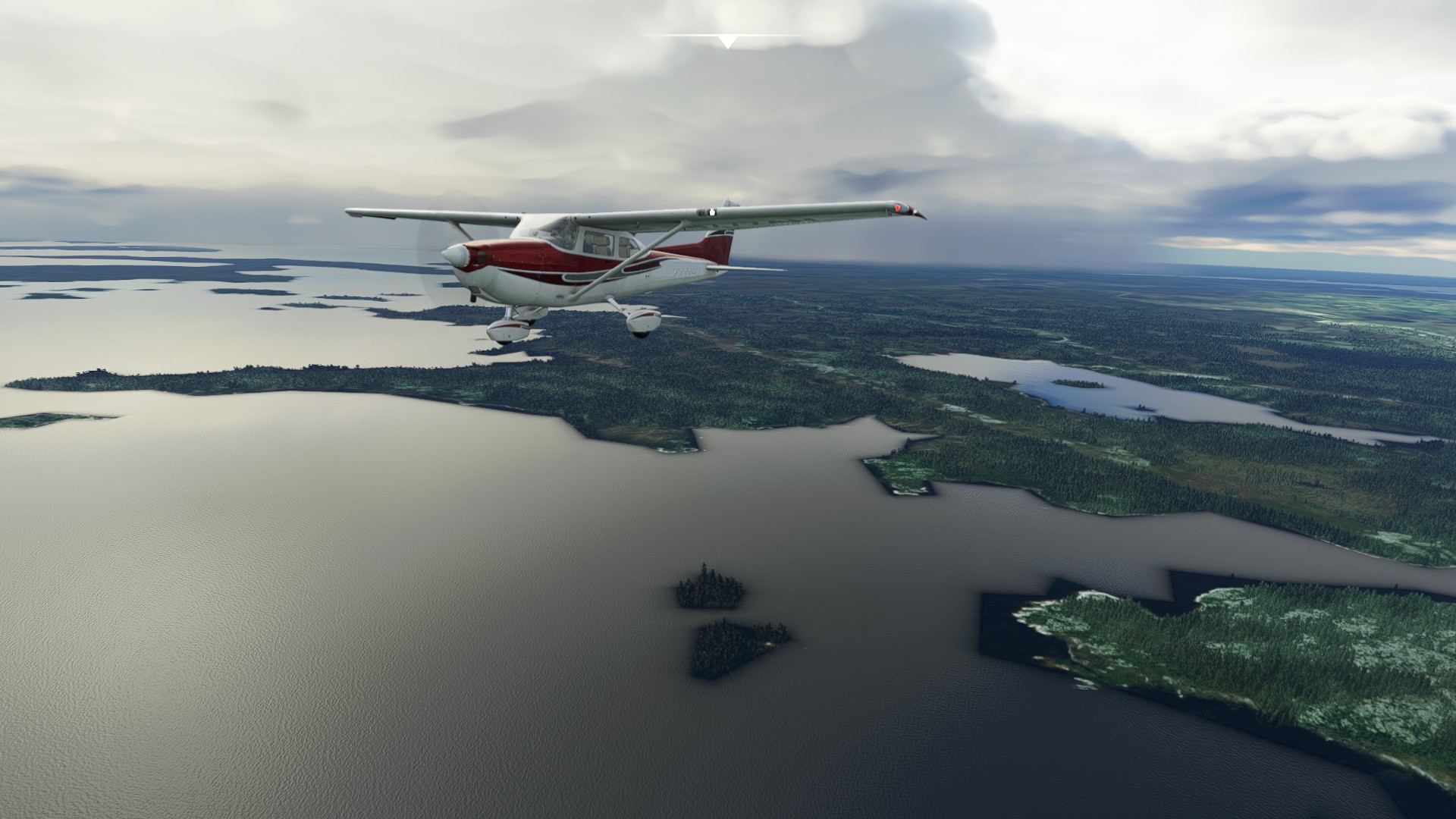
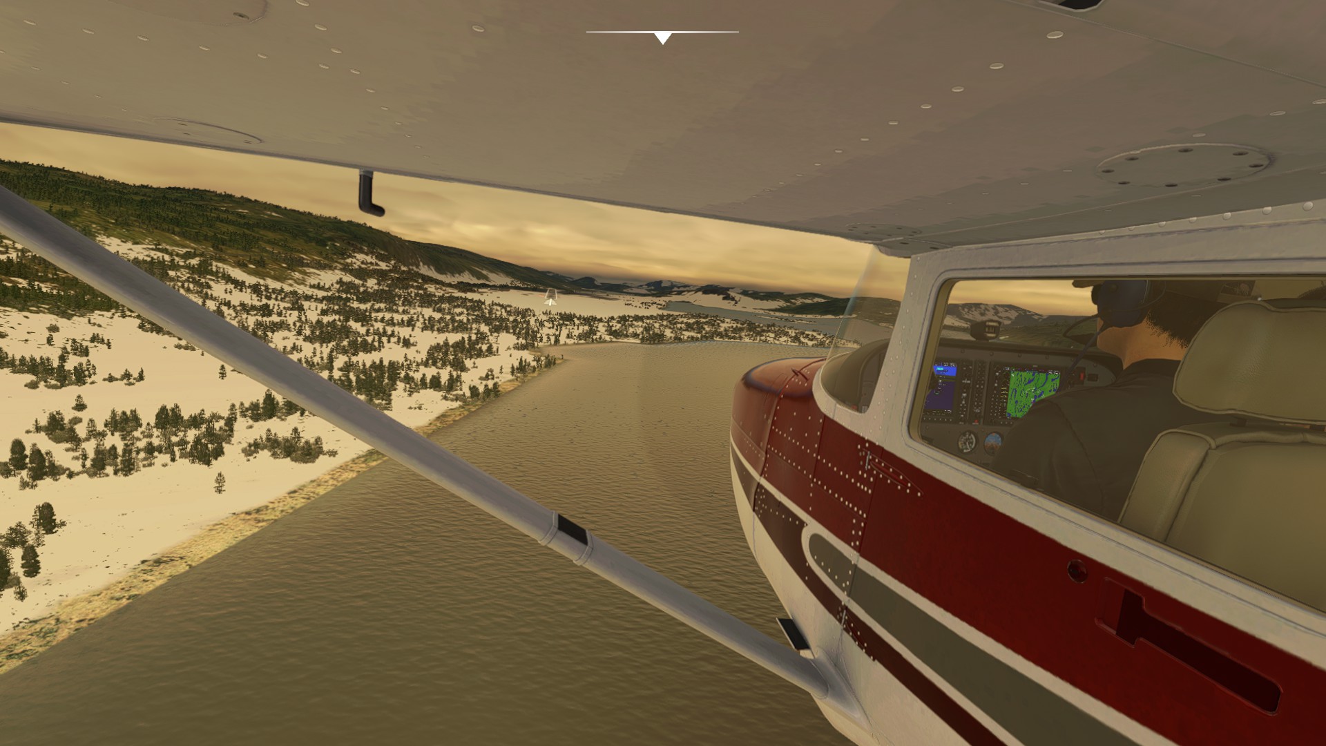
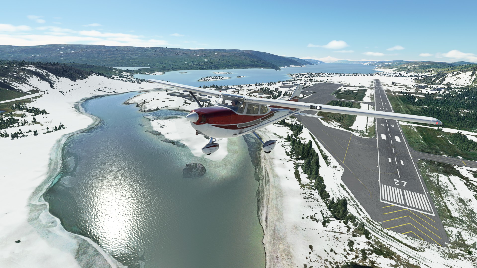
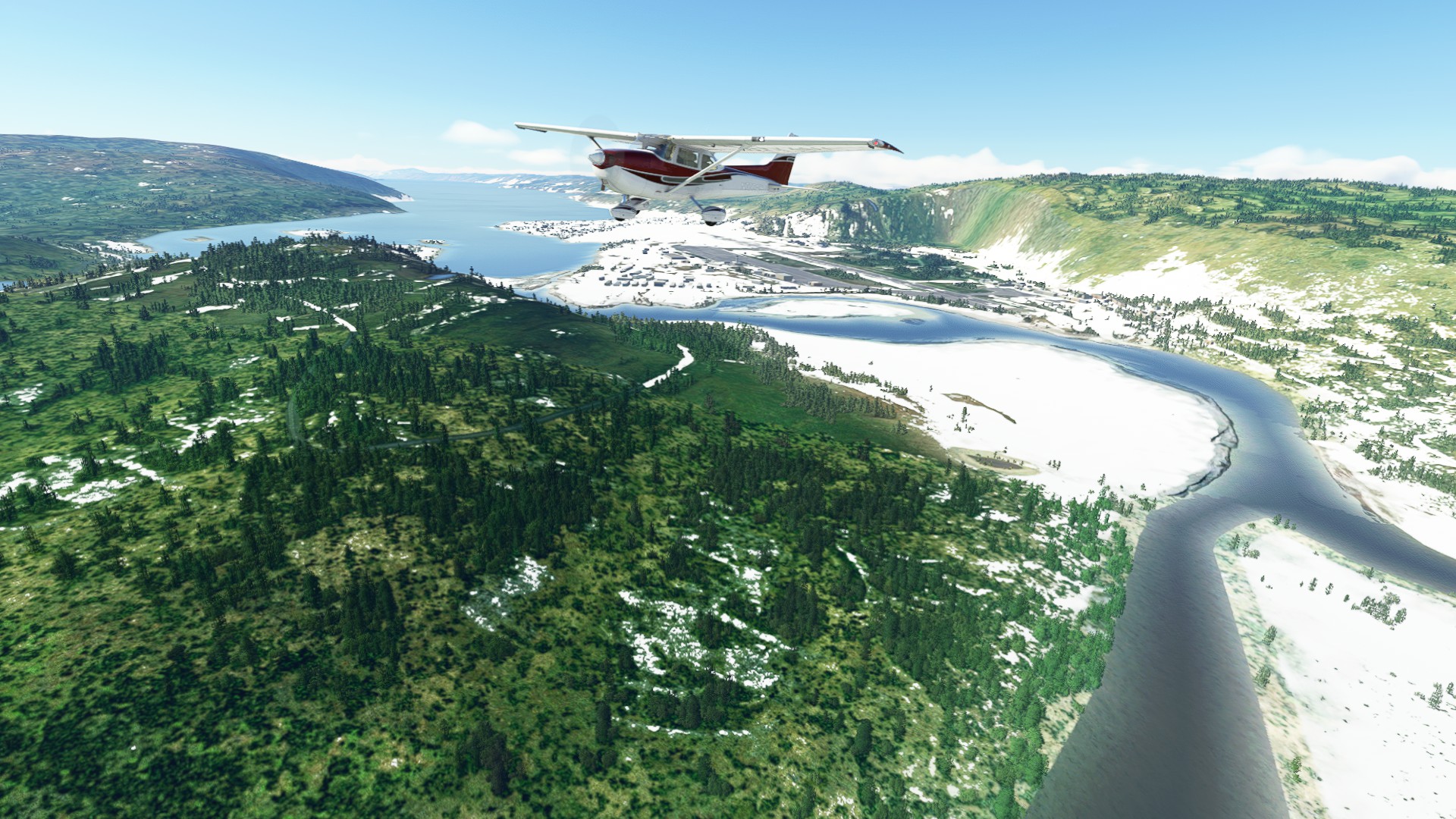
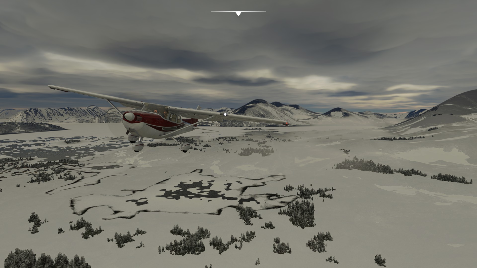
Leg 4: La Grand Riviere, Canada to Kuujjuaq, Canada.
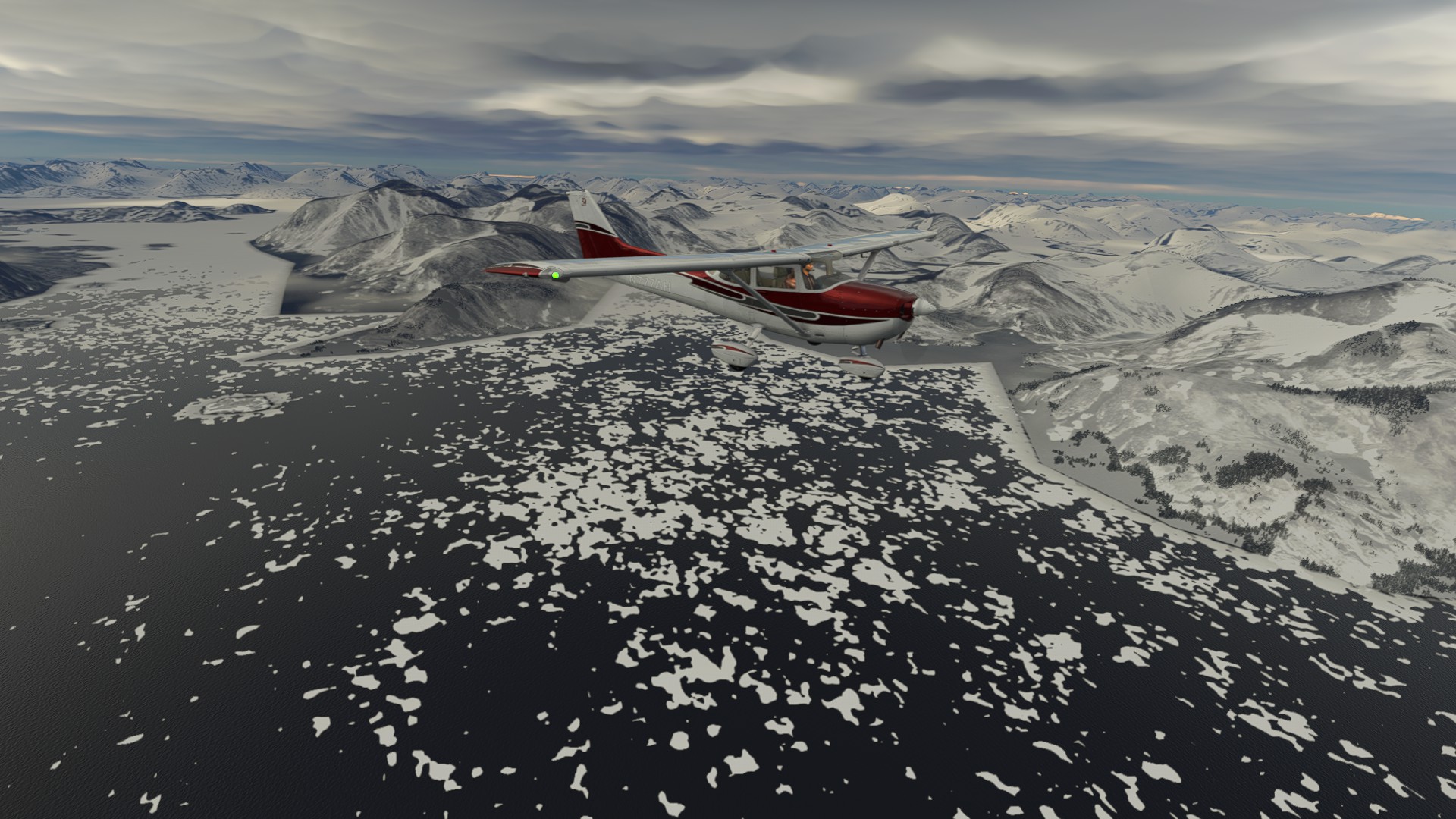
Leg 5: Kuujjuaq, Canada to Iqaluit, Canada.
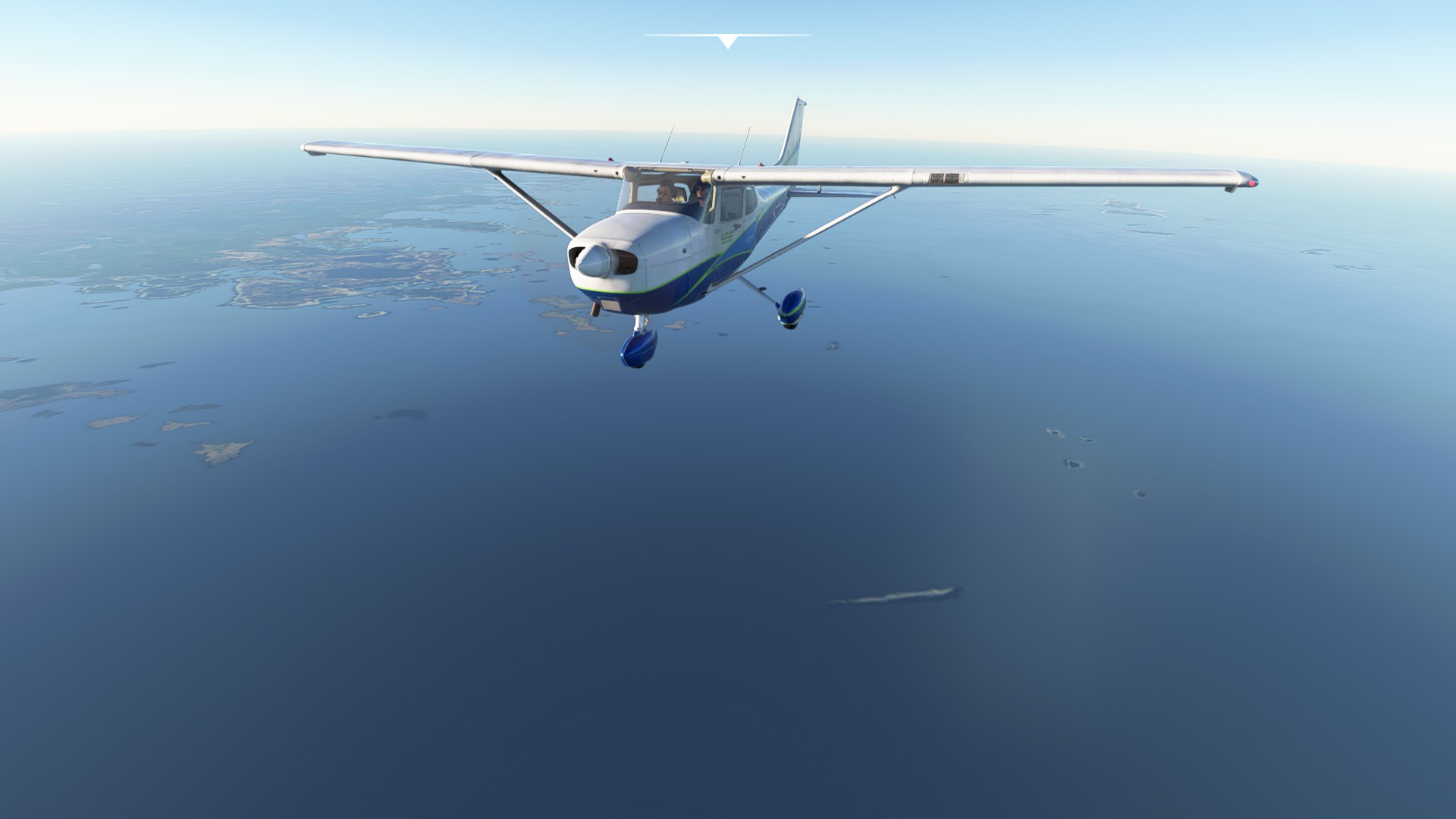
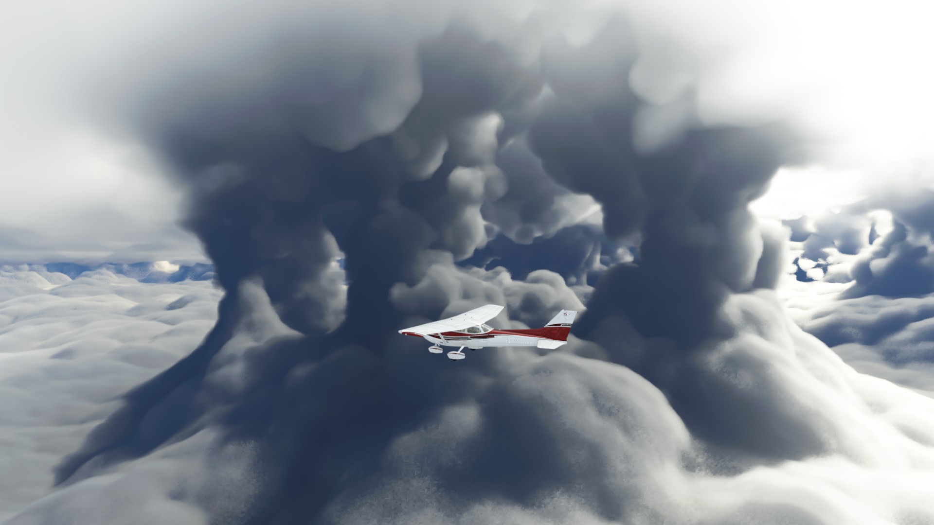
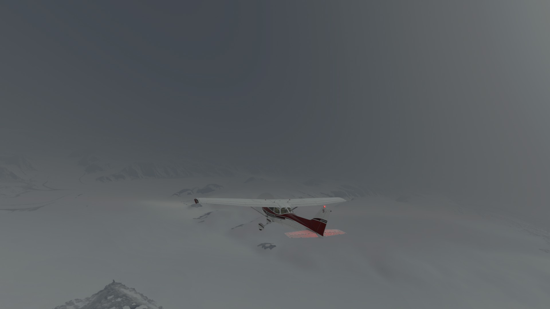
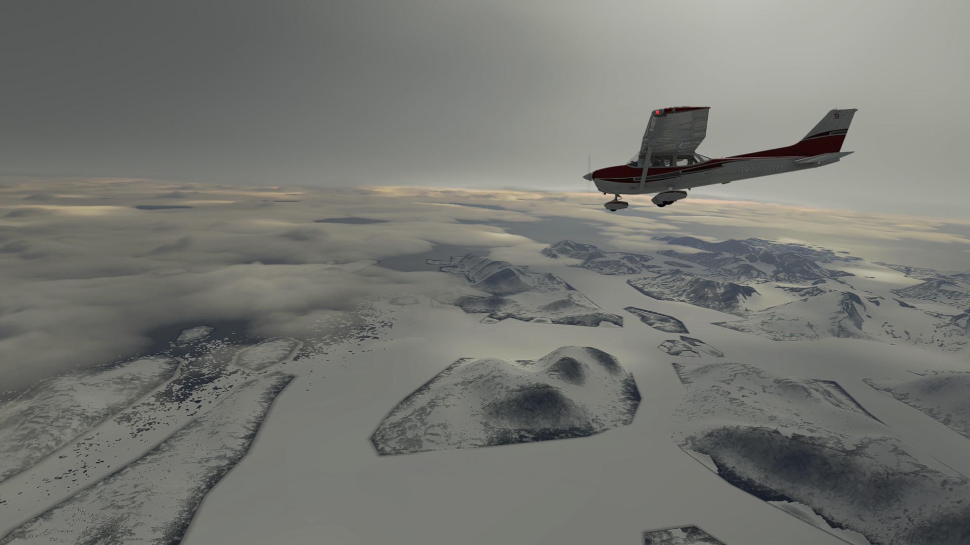
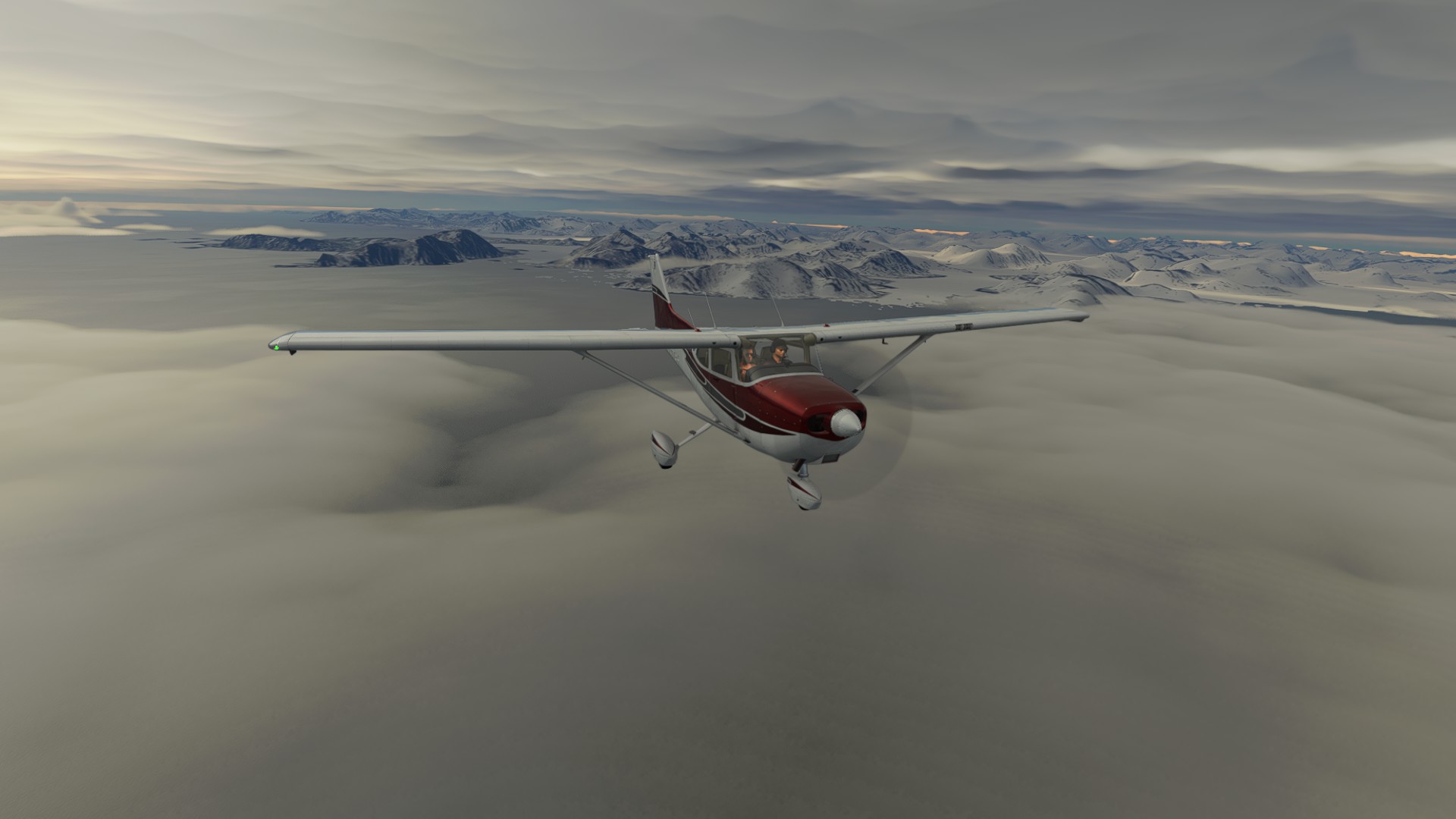
Leg 6: Iqualuit, Canada to Kangerlussuaq, Greenland.
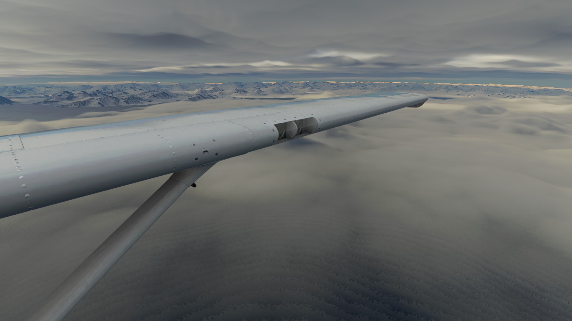
Leg 7: Kangerlussuaq, Greenland to Kulusuk, Greenland.
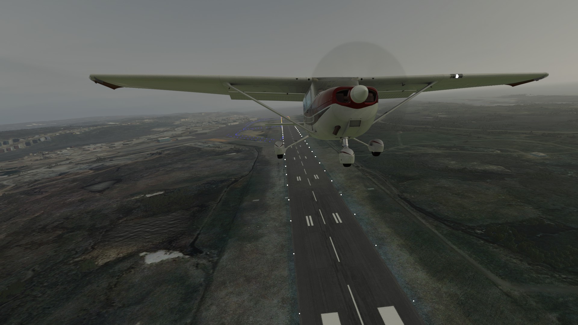
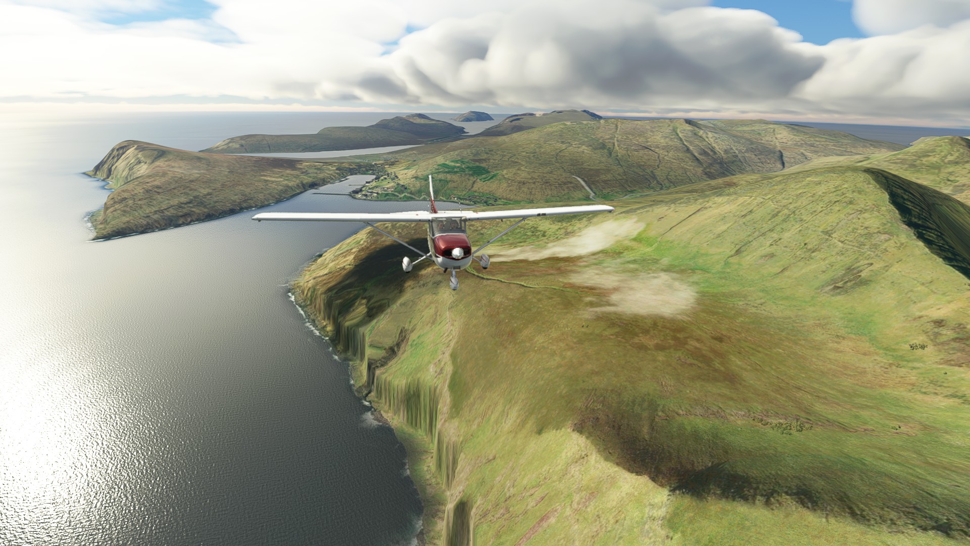
Leg 8: Kulusuk, Greenland to Reykjavik, Iceland.
PLOT TWIST
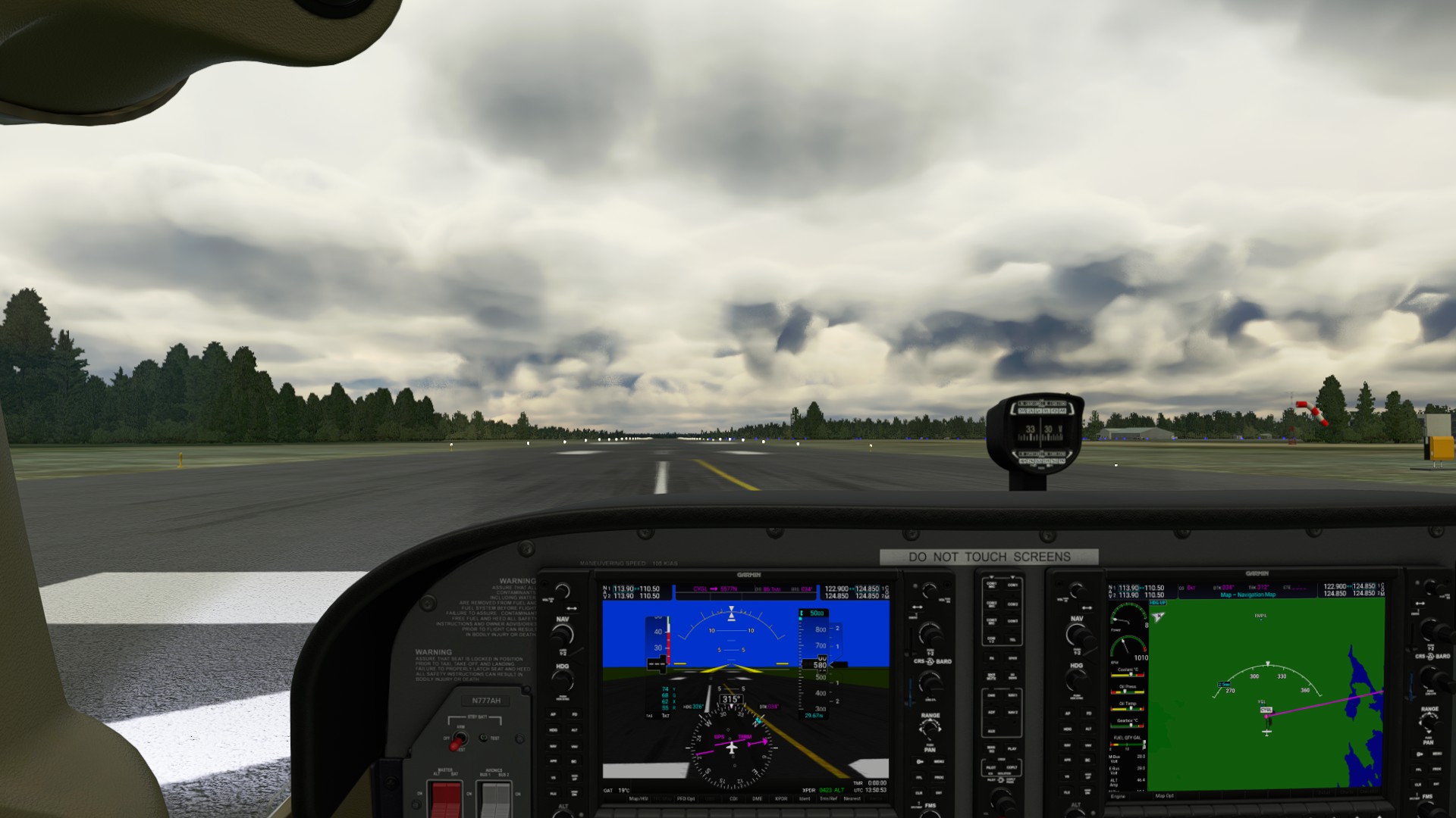
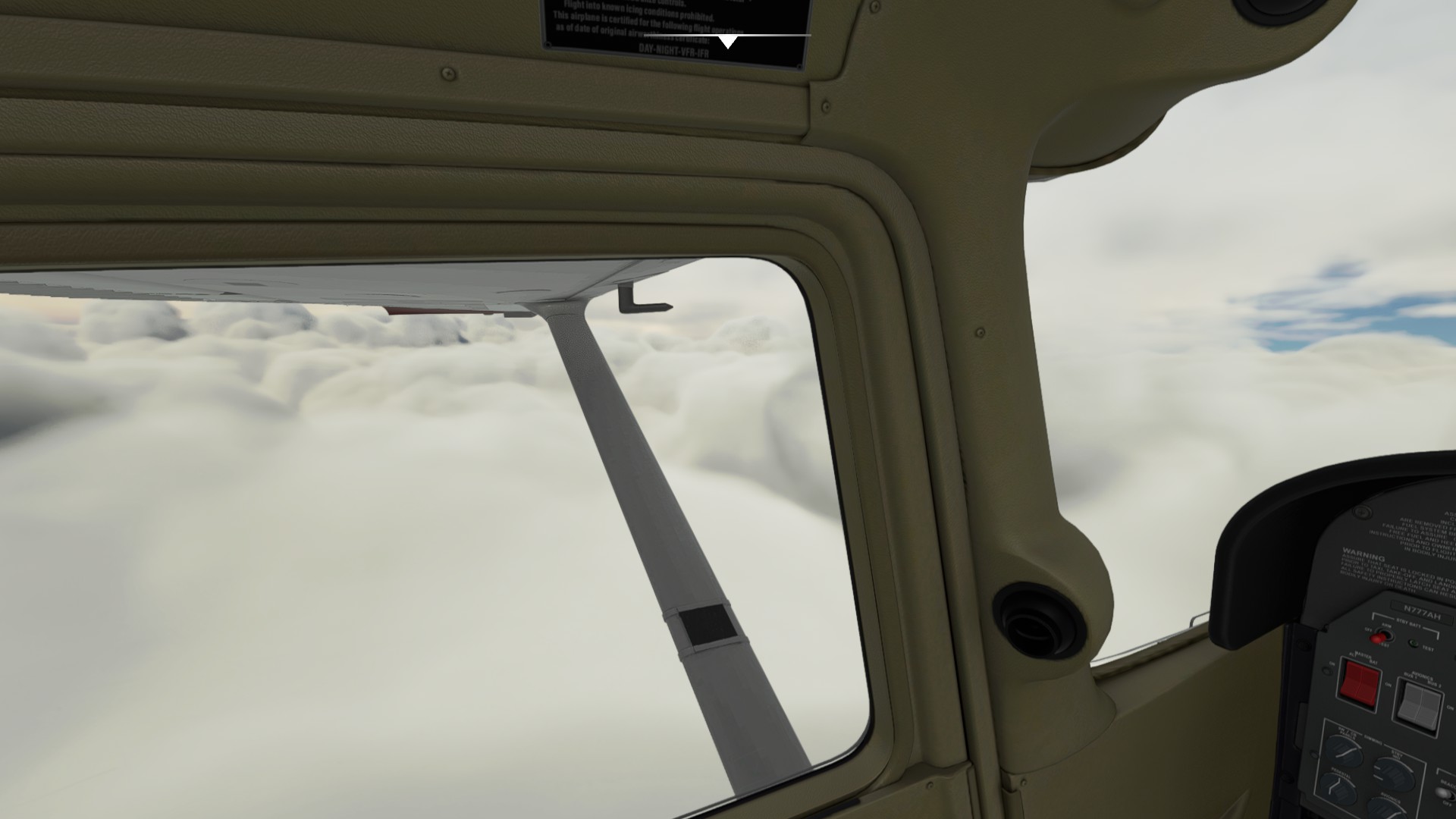
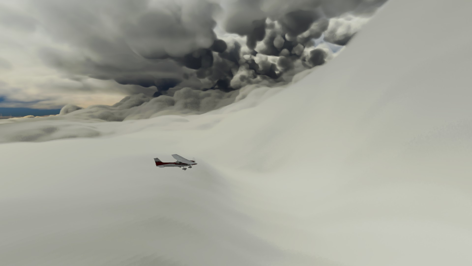
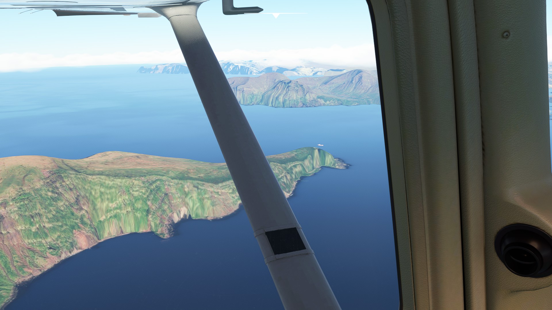
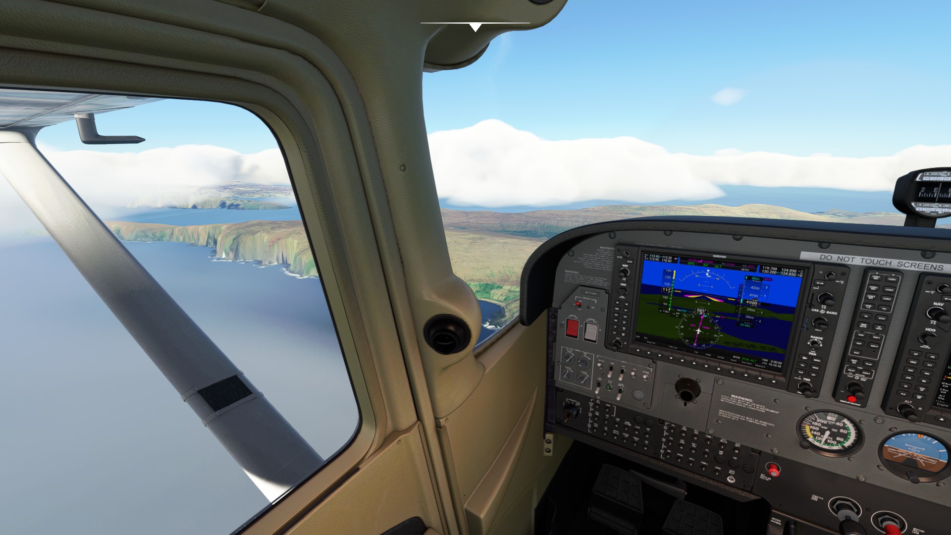
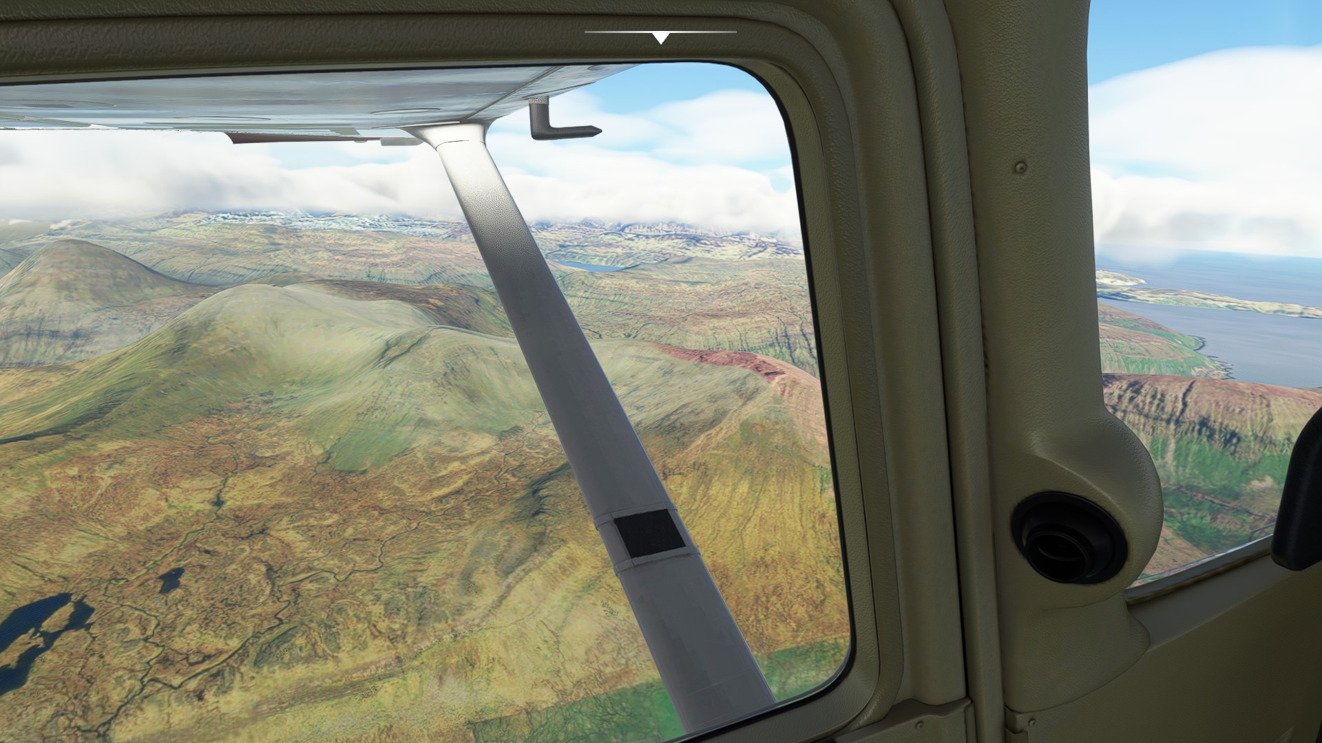
At the time, OSM’s next planned leg of Reykjavik to Vagar (Faroes) was stymied by the mercurial North Atlantic weather. Instead, they had to find a jump-off point from eastern Iceland to push past Faroes and arrive at Sumbergh in the Shetlands instead. Initially they planned on departing Iceland from a southeastern airport called Hornafjordur, but then discovered it’s not an International airport, and therefore invalid for country entry/departure. Another airport further north up the coast called Egilsstadir fit the bill, but that was two hops more than planned.
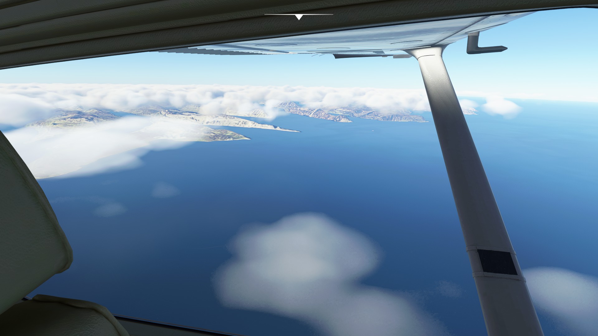
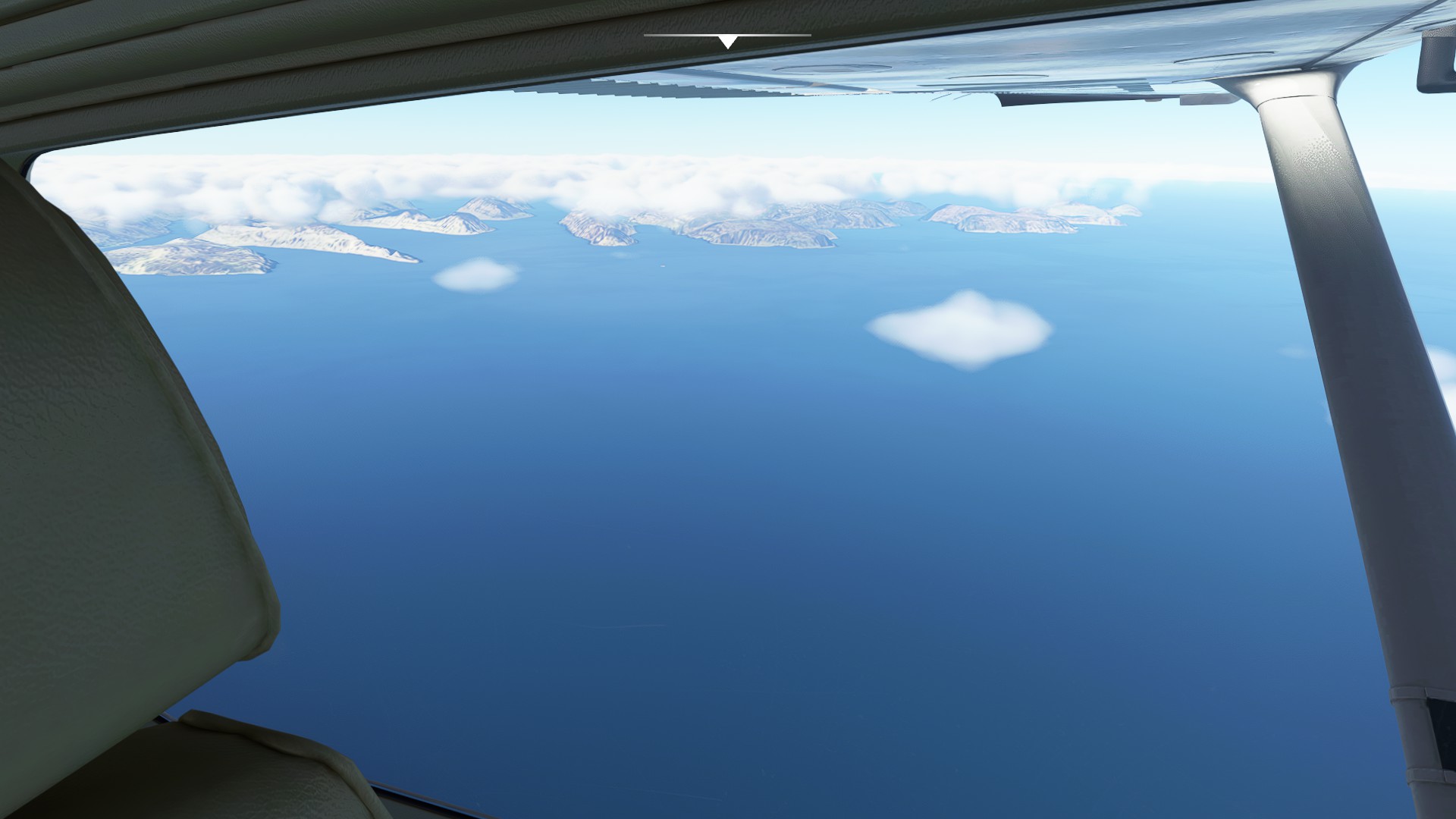
Much like the “Choose Your Own Adventure” novelletes I grew up on - the reader also has a choice now - you can follow the next five hops (9A to 9E - Reykjavik to Arendal) and simulate exactly what the ferry team experienced. The links below point directly to the PLN files (no travel log). Be aware that Egilsstadir to Sumbergh is a very challenging leg - you will be in the seat for a long time.
OR
You can assume the weather cooperated and take on their original flight plan of Iceland to Faroes to Norway (10-12). I’ll be performing the latter, but feel free to choose which plan to fly.
Actual Flight Plan (PLN files only):
Leg 9A: Reykjavik, Iceland to Hornafjordur, Iceland
Delivery_09A_IFR Reykjavik (BIRK) to Hornafjordur (BIHN).pln (2.2 KB)
Leg 9B: Hornafjordur, Iceland to Egilsstadir, Iceland (International POE/POD)
Delivery_09B_IFR Hornafjordur (BIHN) to Egilsstadir (BIEG).pln (1.5 KB)
Leg 9C: Egillstadir, Iceland to Sumbergh, UK
Delivery_09C_IFR Egilsstadir (BIEG) to Sumburgh (EGPB).pln (2.8 KB)
Leg 9D: Sumbergh, UK to Kjevik, Norway
Delivery_09D_IFR Sumburgh (EGPB) to Kjevik (ENCN).pln (2.8 KB)
Leg 9E: Kjevik, Norway to Gullknapp, Norway
Delivery_09E_VFR Kjevik (ENCN) to Gullknapp (ENGK).pln (1.5 KB)
Optimal Flight Plan (travel logs):
Leg 10: Reykjavik, Iceland to Vagar, Denmark.
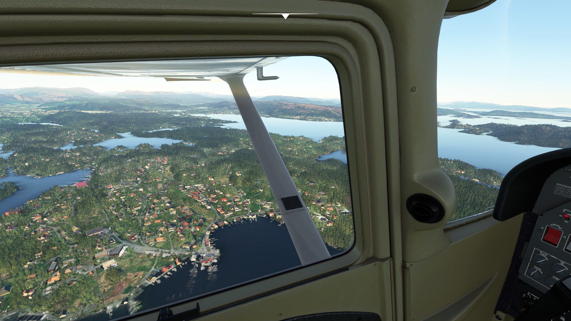
Leg 11: Vagar, Denmark to Flesland, Norway.
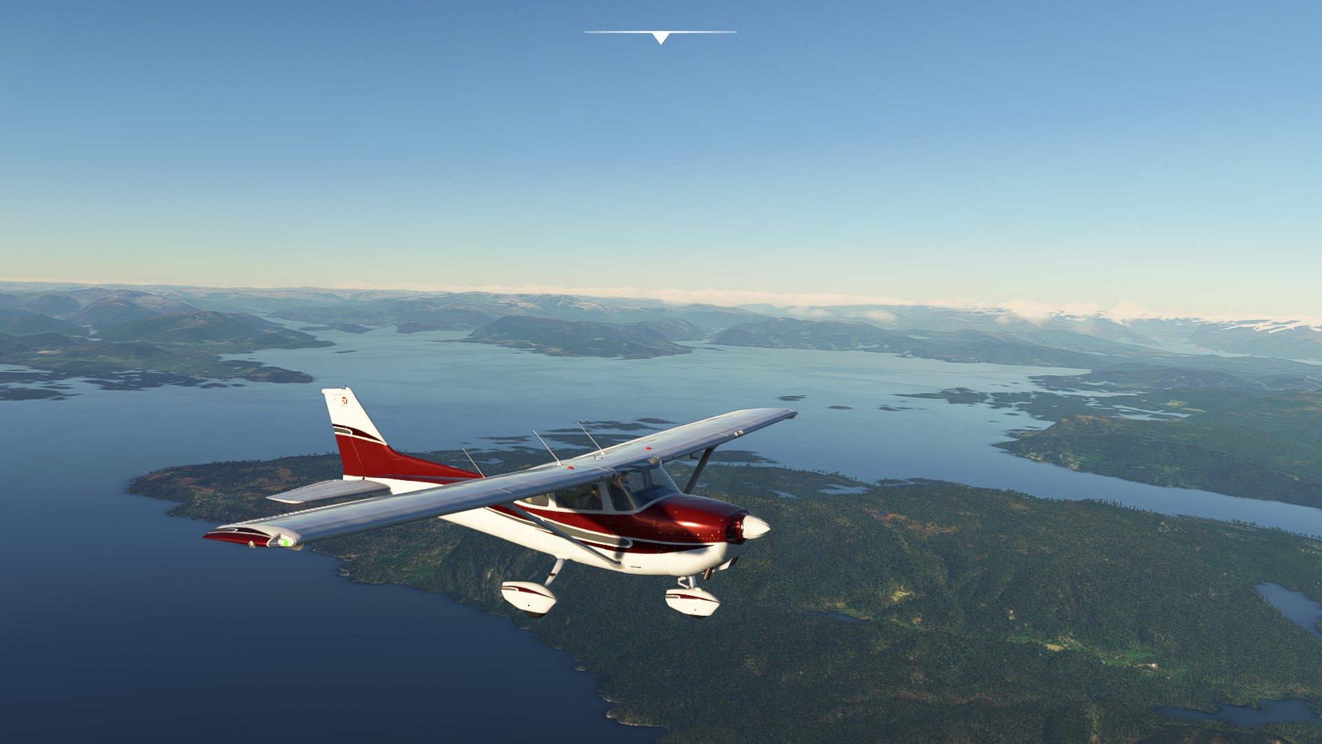
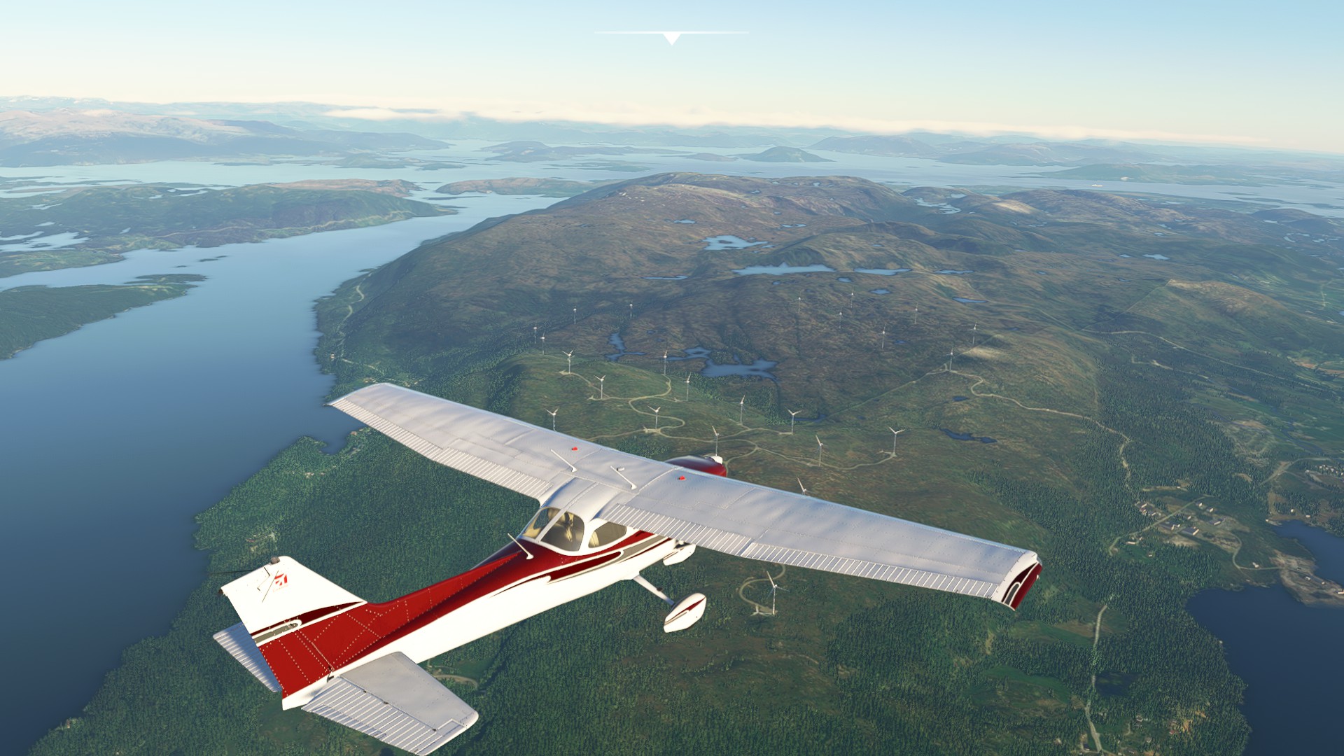
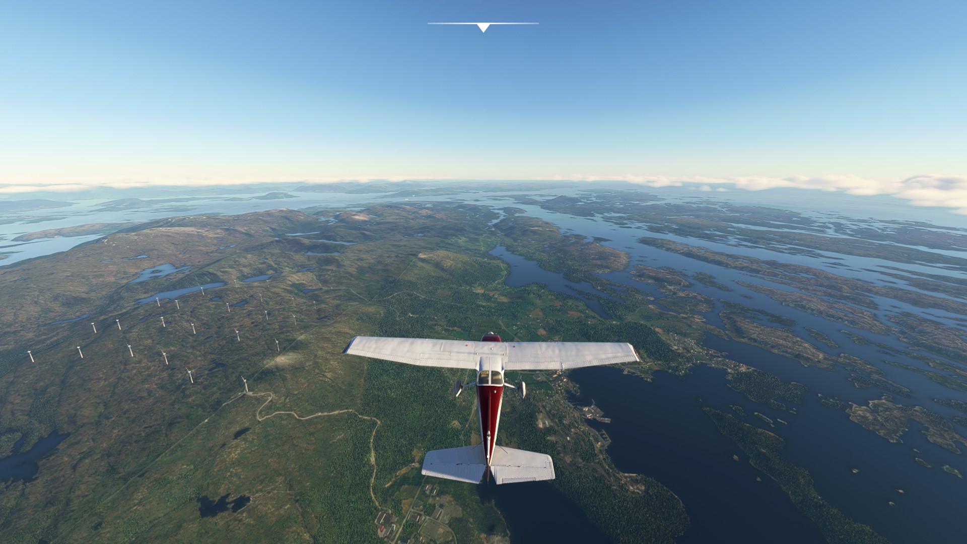
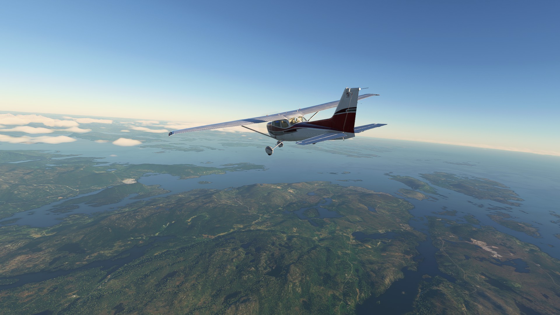
Leg 12: Flesland, Norway to Gullknapp, Norway.
If you read this all the way to the end and flew this mission, I hope you enjoyed it!