Thanks @IcemannPlays
All the ones I tested that worked were in the U.S., so I’ll check out some other regions too, and see if that’s an issue (as well as continuing to check other U.S. airports).
Regards
1 Like
I tried a couple of your routes, and added some intermediate airports, and had mixed results.
Airports I found with METARs: EDDV, EDDB, EHAM, EHRD.
No METARS at: EDAZ, EDXI, EDHA, EDAZ, EDOJ, EDBM, EDVP, EHVE, EHCA, EHNO.
I noticed quite a few of the “NO’s” were glider or listed as smaller airports, although not all of them. But at least some of the airports in that general region do report METARs, but quite a few don’t. I didn’t find a specific reason why those did not report, and I’d have to admit, I’m not familiar with most of the ones that didn’t report them. But it appears that it’s mostly the larger airports that are reporting METARs currently.
Just FYI, I just started adding random airports as points for some of the test sites, without any real criteria for selecting them, other than I added some of the larger ones I do know, just to see what would happen.
Not sure any of this helps identify the issue or not, but it’s definitely a mixed bag.
Regards
@Habu2u2 Perhaps it is just my misunderstanding of how it works. I supposed that METAR information is based upon Airspace, Zones whatever. You know, like a common broadband broadcast of a METAR data on some special frequency. But it looks like it is based upon specific airports capabilities.I did try some bigger airports (countries capitals) and it did work.
Not all airfields broadcast METAR information, especially the small, part time, and unlicenced ones. Mostly just the full time commercial airports and military bases.
In these cases I usually look up the nearest airport that provides met info to get an idea of what is happening in the general area.
Also if you look up the STAR, SID or approach plates for an airfield it will have an ATIS frequency if it provides any met info.
@AviatorDown8227 As a workaround for such airfields I use Little NavMap info. Strangely enough it always has METAR data…
I also use LNM, no idea about the sources they use for met.
Another useful tool is available from the FlightUtilities web site either online or with their downloadable app:
1 Like
You can choose from several sources, but I think by default it uses the official NOAA database.
1 Like
I only started using LNM recently so have not dived deep into its features yet but I just checked on a small airfield that does not broadcast METARs and there was indeed weather info in LNM but it was for the nearest airport that does actually provide met.
@AviatorDown8227 I thought that’s how it should work for G1000 nxi. But it isn’t. Hope to find some info about how it works IRL.
The way it is functioning now is how it works in real life. As on the real unit you will only get a METAR for an airport ICAO and only if it is reporting a METAR. You will not get the next closest reporting METAR.
3 Likes
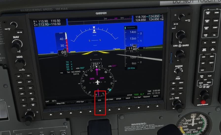
On the 172/nxi has anyone noticed that when you start a VFR/GPS flight from one airport to another such that it loads the plan, and then before takeoff if you immediately delete the plan, then the engine detail on the PFD stops updating. Hitting the red display backup button then shows the engine detail on both pfd/mfd and it will update, but then when you switch it back to normal it stops updating.
Hello,
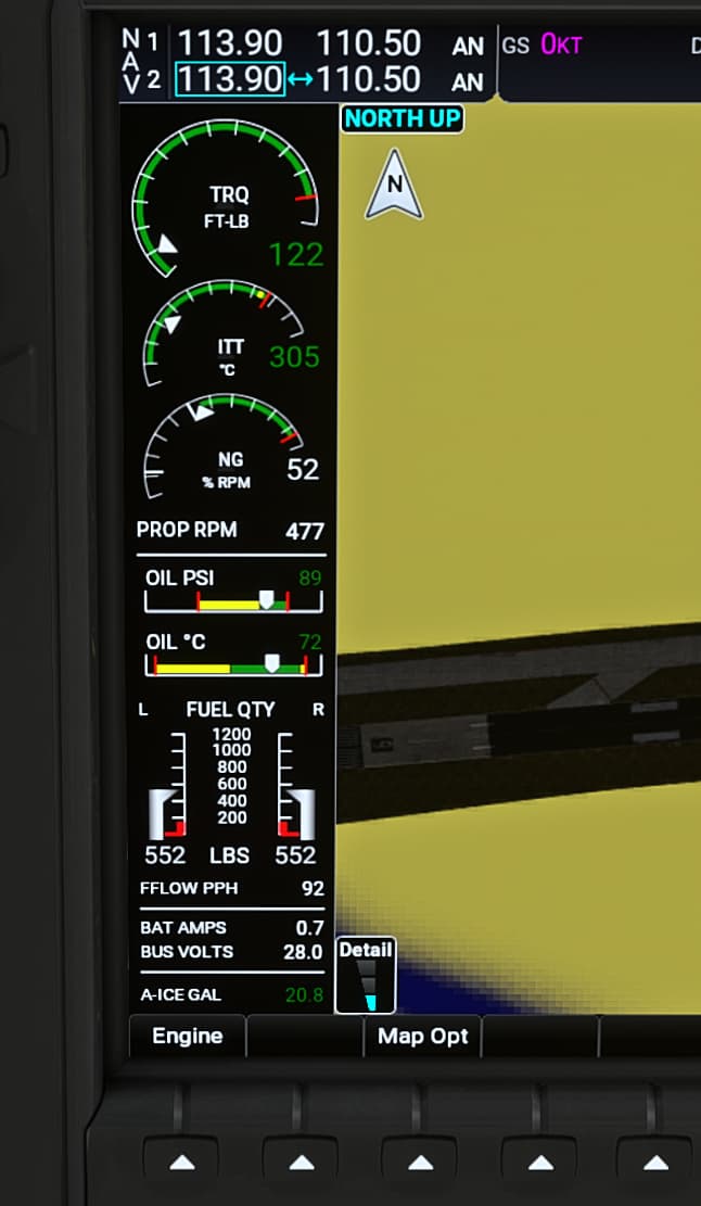
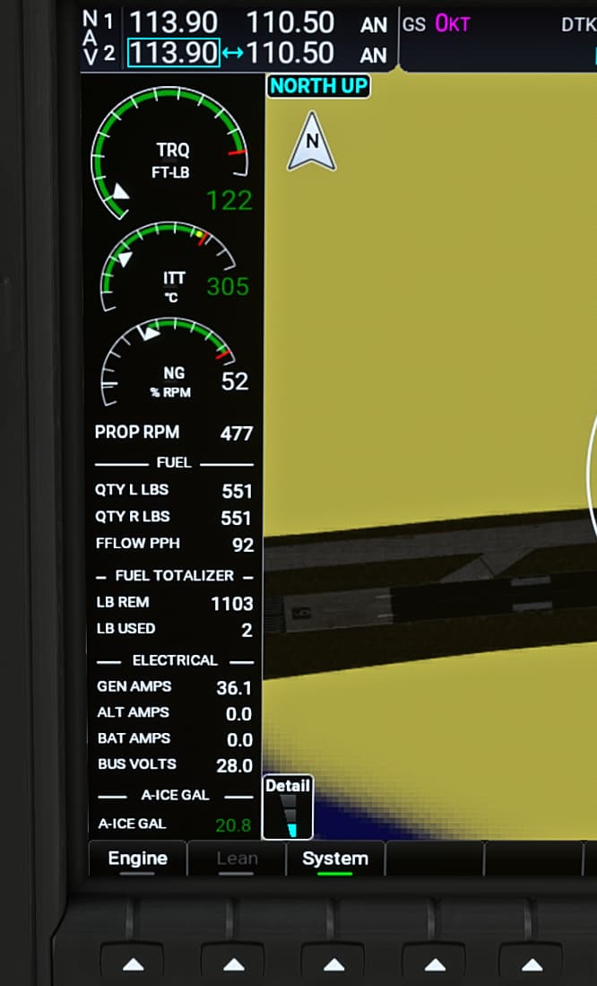
I installed MSFS since few days and I am still getting my bearings. I also installed the G1000NXI throuogh the game Market Place, and all is working fine, except I think the Engine System Page doesn’t work properly.
When I click on the Engine Soft Key, nothing happens where I think it’s supposed to open a full page on the MFD with all engine data.
Experiencing this with all default aircraft using the G1000 and also a Payware one (P2006T)
Is there any extra resource to install?
In my MFD on the left side the display shows the relevant data after pushing the softkey . Tested with the Caravan and 172. I can post a Screenshot tonight
I don’t know honestly, maybe is the game version because I took the Xbox pass included version and not one of the upgraded ones.
I always avoid mods and I try to keep my simulators as much “vanilla” as possible to avoid incurring into compatibility issues.
I tried to check also in options if there is anything related to the instruments, but I couldn’t find anything.
Is not an huge drama in the end, I can still fly it normally and I can get the importan info from the small insert on the right MFD, but it’s just to understand what is wrong!
Aircraft dependent
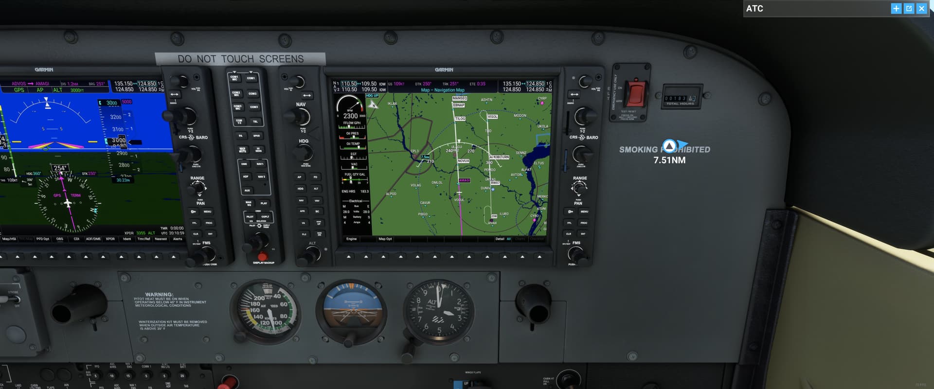
I am a new user and like to fly IFR flight plans with Cessna 172 Garmin. I build the flight plan on the world map page. However, once I go to the aircraft and view flight plan on Garmin, the way point before the approach way point is not linked…not sure what I am doing wrong. Does not happen with all flight IFR plans. Please see flight plan in picture below. Note way point MANSEQ is not connected to way point VISOL. The way I get around this is to activate direct mode to VISOL after passing way point MANSEQ… that works and I am able to capture localizer and glide slop. If I do not activate Direct to my plane will continue to fly straight away from way point VISOL.
Nice job, because that’s what you usually do with a manual sequenced waypoint ![]()
1 Like
Although I have the Garmin 1000 installed, I do not have a Garmin track when I fly the C172. What am I doing wrong?