By design, often a departure procedure is a magenta line on the axis of the runway that ends a few miles from the airport connected to nothing else. After clearance from ATC, it is normal for me to have to direct to the first waypoint on the way to the approach or activate the approach (same as direct to the first leg of the approach) if there are no other waypoints other than the approach. Example KAPC to KSTS Departure MERS 24 Approach RNAV 32 via the SGD transition. These airports are only about 30 miles apart, and the waypoint of the approach SGD is close to KAPC, so when I activate the approach a magenta line is drawn from the DA62X to SGD. If I fly a visual approach, the departure airport, any waypoints in between, and the arrival airport are all connected before I taxi for takeoff.
After I activate the approach and level off at cruise altitude, I lower the ALT bug to the lowest altitude in the flight plan and click both VNV and APR to see the pending GS and VPTH white annunciators in the PFD. When I see pending GS and VPTH, I always subsequently see the green GS capture and only have to manually adjust the throttle, flaps, and landing lights.
I can affirm that in the G1000, altitude restrictions no longer auto-populate using the normal procedure approach entry method. One exception is the CT182T, where they do load. I caught this using the Kodiak, but found that with an empty common directory the problem exists with the C172 G1000. I don’t see where this problem has been reported anywhere else in this forum. This is new with the recent AAU updates. UPDATE: this problem seems to have been resolved with beta version 1.33.6 issued may 30.
This is probably not the place for this but…
KGRM
Devil’s Track Airport . Pine Mountain Trailer Court, Minnesota, United States. Airport . ICAO. KGRM . Latitude. 47.827 47° 49’ 37.19" N. Longitude. -90.38
But it is shown on the north slope of the grand canyon.
Sectional does not show it
Devils Track and KGRM is the old Grand Marais airport, which is no longer extant. The new Grand Marais/Cook County Airport ICAO code is KCKC (though it still uses GRM as the IATA code as CKC is an airport in Ukraine).
My understanding is that when the Blackshark AI encounters an uncharted/unregistered airport, it generally assigns a code consisting of the ICAO region (K for the CONUS), then the next two letters are the first two letters of the nearest town/place name (“GRand canyon”), and the last digit is the first available alpha, based on proximity.
So if there are several uncharted airports in the Grand Canyon area, and you already have airports with KGRA (b, c, d, etc) then it goes to the next available alpha as you radiate away from the place. In this case, a quick search shows that “M” is the 7th available, unused alpha in the KGR_ series.
And to be honest, I wish it wouldn’t do it that way. I know it has to code it as something, but it gives it way too much gravitas for what’s likely an old dirt path that backcountry pilots use and is definitely not in any official nav database. They also often get in the way of airports that receive a new ICAO code.
No longer officially there, but the Blackshark AI correctly picked up the remains! And there is a runway there in the sim, just probably hard to discern it from the surrounding terrain.
If you are not looking to use the NXI in a 3rd party aircraft, no. The marketplace installation is just a package with some lines of code to point 3rd party aircraft to the NXI.
Has anyone figured out how to delete a “directo” waypoint? (not using a FPL, just directo). If I have one set, there is no way to delete it. The Menu button does not have “Cancel directo-to NAV” listed per the Garmin instruction manual.
I had the same problem in the Cirrus this afternoon. I put a flight plan into the World map, it didn’t show up in the GPS in any screen, the flight plan was blank, and it wouldn’t let me enter a flight plan. It also didn’t let me access all the map pages it seemed.
Normally I fly without a flight plan, and I’ve had no issue adding one once I was in the plane and it worked as desired.
I have the Marketplace NXi installed, and I also still have the PMS50 530 installed. I don’t have the Marketplace WT530 installed. I haven’t tried uninstalling the PMS50 yet.
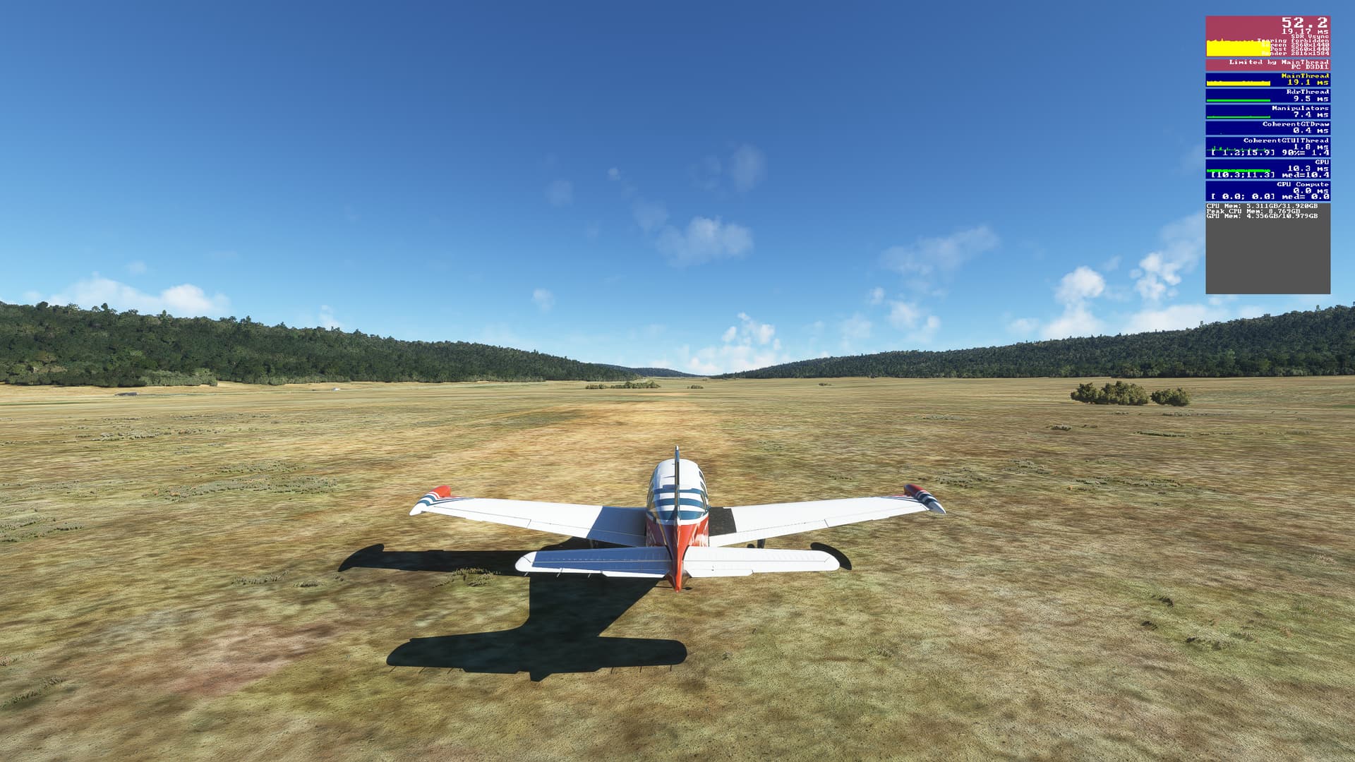
Not sure if plane specific or not, but in the DA62, the g1000 screen goes completely dark once it reaches nighttime. The moment i alter the time back to day, it comes back on.
As well, the approach mode is not arming for my rmav approaches. Maybe its the RNAV type??
I was going to try another plane to see if i can replicate it there, or if its just Da62 specific.
Honestly, I don’t remember. I did get it fixed. I think I deleted the Marketplace NXi and reinstalled it. But, that was a couple of months ago. It’s been right ever since.
The G1000 isn’t capable of doing RNP AR approaches. That’s what is designated on the US approach plates labeled “RNAV (RNP).” It’s a little different in other areas of the world, but I assume that’s what you’re talking about.