I only fly using an online network and it does work so I’m not exactly sure if that is the case but have you tried setting it to Unrestricted? That gives you + / - 9,900 feet information.
1 Like
Thanks for the input! I’ve now tried it on unrestricted with maximum range for several flights where I can see traffic visually; it’s still not showing anything for me but I’ll keep searching for the solution. I don’t have online data turned on, and I have no third party software other than Spad.next, so maybe there’s something else I’m still missing.
Given the user above had online traffic turned on and it worked, maybe you should try that, too.
You can also head over to the WT discord and ask over there if they support AI traffic with ADS-B.
1 Like
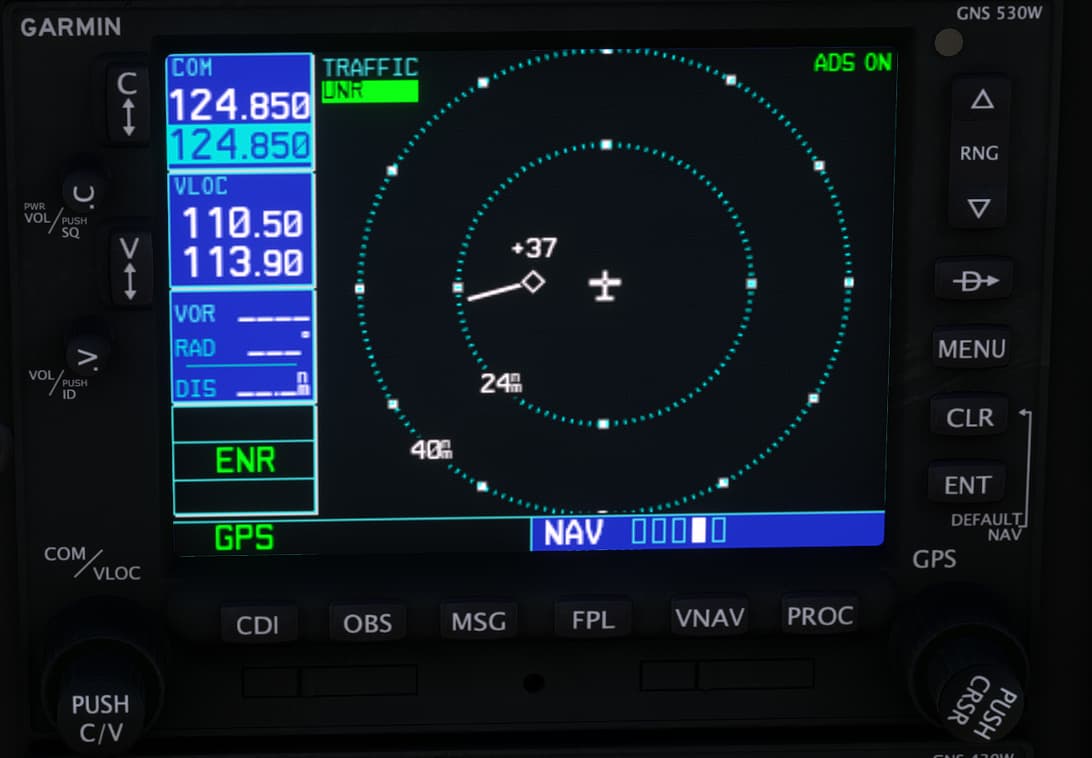
Does anyone know if Map Panning is implemented in the GNS 530?
I’m re-reading the manual and it’s mentioned in Section 3: NAV Pages, but I’m not having any success engaging the mode when pressing the small right knob.
Presently, pointer mode is not implemented.
2 Likes
Hello all. It appears my 3rd party aircraft Just Flight and Carenado are not yet updated to work with the WT GNS 530. I believe I need to uninstall the 530 until they are updated. I have two items in the options that appear to be the WT GNS 430/530. I seem to only be able to uninstall one of them. How can I fully uninstall the Working Title GNS 430/530? I will use them once the 3rd party aircraft are compatible.
Thanks all!
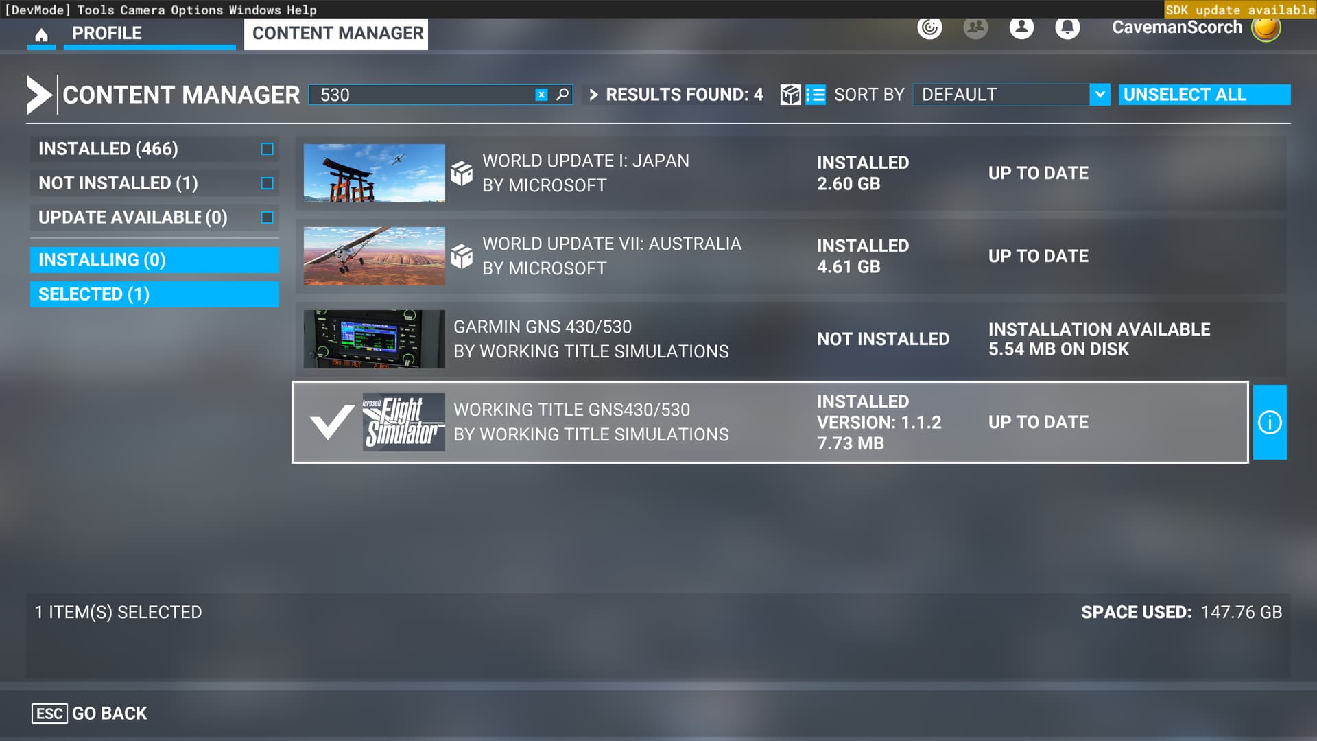
You’re fine as you are. Version 1.1.2 is the official 430/530, it can’t be uninstalled, it’s base code now.
Understood. Thanks.
Lately when using the GNS530 I have inadvertly hit the Direct To button instead of menu. when I do, the direct to page comes up (as it should) but is inop. nothing I do will clear the page.
I’cant either a destination or clear the page.
I can see that the screens behind the Direct To page are changing, but the Direct To page obscures most of the screen.
This time it was the Carenado PA44 Seminole in California, has anyone else had this happen.
Thanks
I have a problem: My terrain map is not showing any color for elevation,it’s black. Any idea?
I’m guessing either you are on the ground, so no terrain info will show, or you are so high above terrain, nothing will show. I think when you are above terrain by a certain amount (I don’t recall the exact number, and it might be different for different avionics), you don’t see terrain info.
1 Like
The terrain map is only relative terrain, not absolute. You will only get colors as you get near enough to the ground to have them be displayed.
2 Likes
I have a problem. In the DHC-4 the frequency wouldn’t update on the display of the 430. But the ATC menu and the dial(when held) would show frequency change as expected. I also can’t find a way to push the flight plan data to the instruments.
I don’t know,
I have same problem as before with filled FPL and during flight. I need do shortcut (DCT to) waypoint and did that without problems, aircraft started follow Direct to waypoint. Problem is that on 430 direct to still points to FPL plan points but all data as ETE, TRCK and other shows correct my selected direct to waypoint. Also name of waypoint isn’t there. I don’t expect this as real device functionality. can you Matt pls give some light to this problem? I’ve reported this already, month ago??? with LHBP arrival as example, also screenshots included.
My post: Garmin GNS430W and GNS530W Issues and Support - #70 by OMICO4146
This is another one of my shameless statements of thankfulness for how great these GNS units are now.
Thank you, again, for your efforts to make this happen!
1 Like
When using the GNS430 in the PMDG DC-6, I get the following issue when the gauge is popped out.

The image is tiled even before I put it onto the External GPS unit. Verified it with a friend.
If someone knows another aircraft that has the 430 can you please let me know so I can test that too?
(Works fine with the 530)
Question re: KBOS ILS RWY 15R with GNS 430.
I’m looking for some input here. I’m trying to understand if this is what is expected or I did something in error.
I was flying the DC-6 with the GNS 430 into KBOS and had been assigned the ILS 15R approach via GDM.
I was too high and too fast and had to declare a missed approach. I used the published missed approach at CELTS (again, so awesome with the WT GNS!). When I was done with the MA, I was assigned ILS 15R via AADMS.
Using the AP, once I reached AADMS, I could see there was no procedural turn and the AP just continued to fly straight on past AADMS on its same course. I had to take command and perform a 180° turn and set the aircraft back on its correct course for final.
My question is, how is this meant to work? Is the expected behavior the AP would complete a turn towards SWIGG without pilot intervention or is the PIC meant to take command of the aircraft, make the turn and re-engage the AP once the turn has been completed?
Or is this a strange/poor choice on the part of ATC to assign an approach from CELTS with a near parallel course to the runway and a 180° turn from AADMS to final?
EDIT: I believe this may be an issue with the GNS 430 and the DC-6’s autopilot. I’m doing some testing with it at KSBP and it blows right by an approach’s course change to the IAF.
However, I’d still like to know how that approach I described above would be flown. Would the AP automatically make that 180° turn?
Hello,
I think that in case you’re after MA procedure, generally ATC intervention is expected like vectors to IAF probably. In this case you have need then do your own turn and set approach for next landing attempt.
In real life you would be vectored to intercept the localiser at an appropriate angle, not be given a direct-to to an IAF that would require a 180 turn. But the in-game ATC doesn’t know how to do that properly.
1 Like
Hi, noob here so I may be doing something wrong. Learning the 530 and the Nearest Airport list does not match the VFR map or SkyVector. I understand that MSFS is not current, but I would have thought the internal map would have been the same. Can some one have a look, thanks.
1 Like