I also hoped for a legit and variable visibility system, but the newly added haze is just lower altitude pools of humidity/air masses, AKA inversion layers.
The sim right now hasn’t got a proper visibility effect to simulate for example: 30 km , 60 km visibility. (Like the photo you shared) The haze layer they added with SU7, if it eventually works the right way without the serious METAR injection problems, is still going to be a specific solution to interpret inversion layers and not large scale/regional visibility layers.
One way to fix this, would be to add 3 distinct visibility layers with variable altitudes-thickness (the same way cloud layers work) and variable visibility values for each visibility layer.
For example , If you are flying during a clear winter day with a distinct inversion haze layer near the ground, the visibility parameters should look something like this :
Layer 1 : Altitude (0-400 meters), Thickness (14%) **where 100% density should be translated as thick fog, minimal visibility conditions.
Layer 2 : Altitude (400-1500 m), Thickness (1%)
Layer 3 : Altitude (1500-20000 m), Thickness (0%)
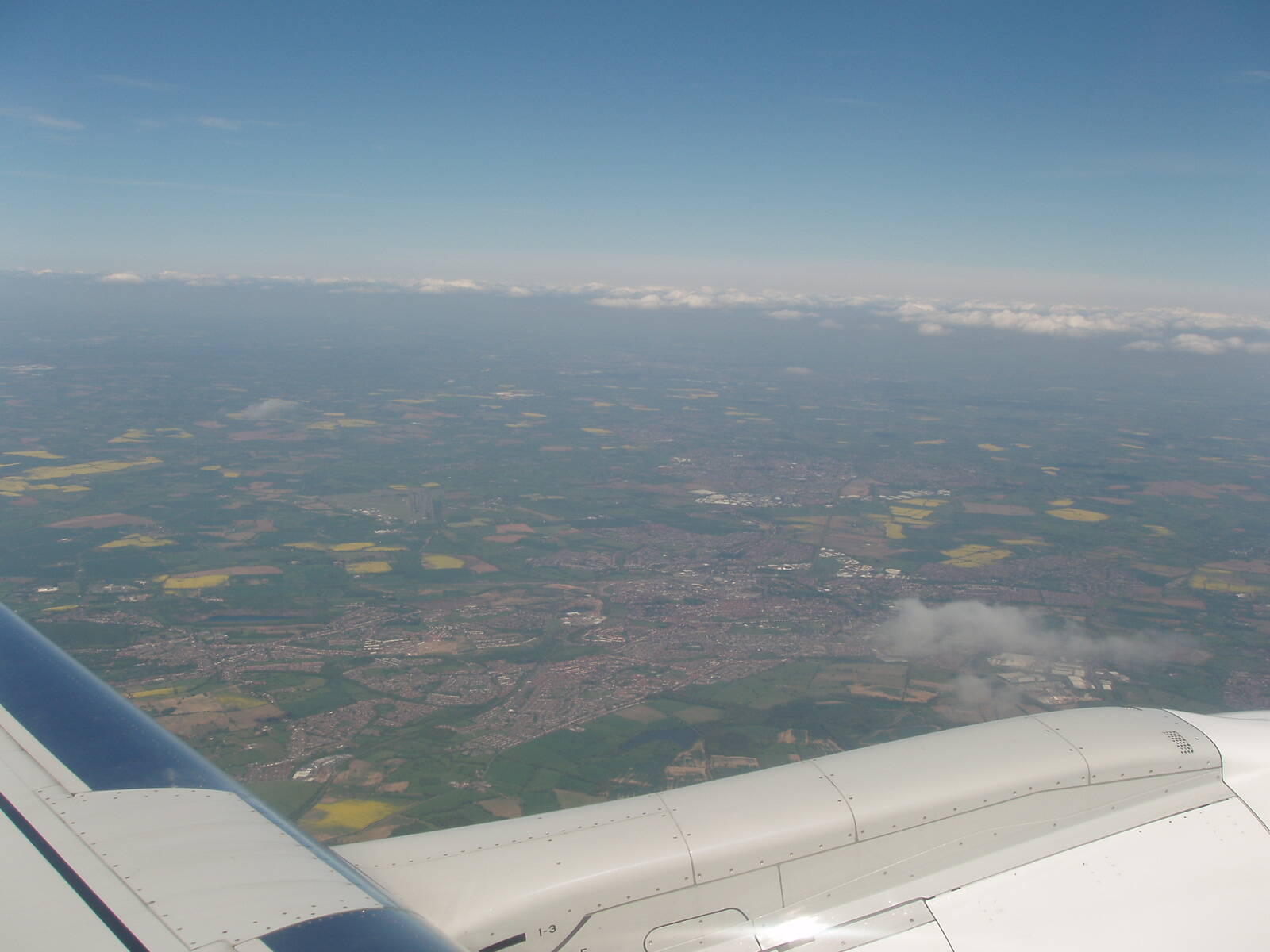
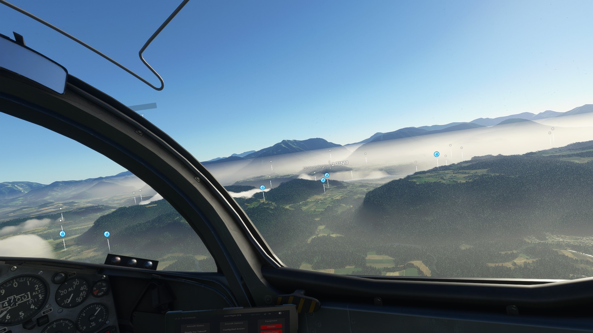
If we wanted to recreate something like the photo you uploaded (a humid yet fair summer day ), it could be translated like this :
Layer 1: Altitude (0-1500 m), Thickness 9%
Layer 2: Altitude (1500 - 4500 m ), Thickness 6%
Layer 3: Altitude (4500 - 9500 m ), Thickness 3%
Thickness percentage should also be translated as Meteoblue visibility data. They have a global map with visibility values (even as a forecast) that could be used in MSFS2020 live weather simulation at least for lower altitude visibility. The 2 upper layers could be configured by layer humidity(they also have the data) or dust/particles/aerosol in the atmosphere. Air quality in general could play a role in configuring the visibility parameters.
0 % could be unlimited visibility ~100-150 km , and all various percentages could be equated with a specific distance value, such as : 5% = 30km , 10% = 15 km , 20 % = 7,5 km etc.
Meteoblue Visibility map
Meteoblue Dust Map
They even have a Surface Inversion Map
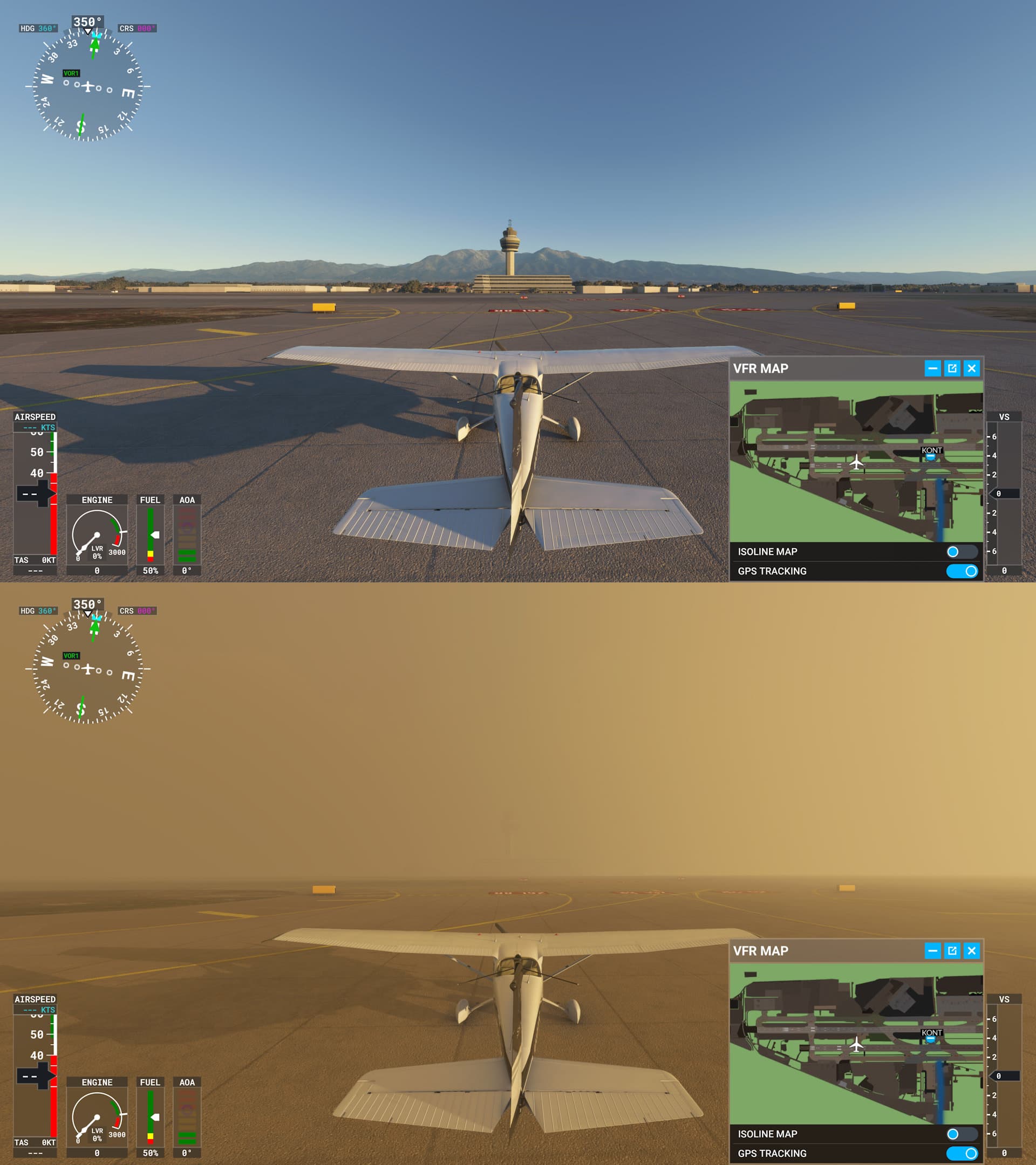
 I just hope this isnt what were supposed to end up with.
