Magnificent work! Thank you so much for this. I did my backcountry taildragger checkout in Idaho, and this should bring back some memories.
Thanks again for the hard work. You’re quite the creative writer. I’m not sure what my wife will think about me taking my girlfriend on the trip instead of her, though..
Hahaha yeah, your wife probably would not be down for that. And I am a full time travel photographer/writer for my occupation, so writing about beautiful places is something I love to do, and since 2020 happened, my travel work has sadly evaporated, so exploring the world and creating these bush trips is keeping me creative and scratching that travel itch. And thanks for letting me know the PayPal link isn’t working. I will fix that now, but this should be the link PayPal.Me
Thanks so much for your support! It will help keep me paying the bills and creating new adventure bush trips!
One small point. It’s a little tough to see which in the description are steerpoints, and which are landmarks between steerpoints. Perhaps in the heading/distance/ETE table you could add the steerpoint description to each line, or just add a number in the description and place the corresponding number in the table. Otherwise, fantastic work!
Thanks so much! Yeah, I thought about making it more detailed, but I went more with the way the bush trips ‘seem’ to have been crafted by the Asobo team, which was kind of vague, and making you rely more on the nav log with the occasional spot on steerpoint. But I do think that I could probably clean it up a bit and maybe adjust the waypoints to be specific to a very noticeable spot on the map. The problem I found was that there just wasn’t many of these spots. Just a lot of mountains and trees! But I will re-visit and try to make them more obvious. Thanks for the feedback!
Your steerpoint selection is fine, with a very nice description on how to get there. I would only suggest that the name of the steerpoint (Camel Back hill, Ski area parking lot, etc) be included in the table, like Asobo have done.
Ah! I see what you are saying. Great point! I will update it now. Great suggestion. Side note, I tried for DAYS to find a way to get them into the on board Nav Log, and it’s just a mess. They did NOT make this easy for us. Haha. Here is hoping they flesh this feature out in the Sim soon, or at least add documentation to the SDK
For me, I don’t think the built-in Navlog is necessary. I read the description, headings, and distances, plot them on ForeFlight, and use ForeFlight Mobile on my iPad to dead reckon/pilotage my way around. No GPS… just basic pilot skill and cunning!
Ah that’s a good way of doing it! I should have that updated file ready in about 10 minutes. I will let you know when to download if you want to replace on your end!
Thanks so much! Please let me know what you think of it if you complete it! Have you landed at Deadwood yet? It’s entertaining! So are some of those river side landing strips.
I have now read a dozen of your blog posts and I’m your newest fan.
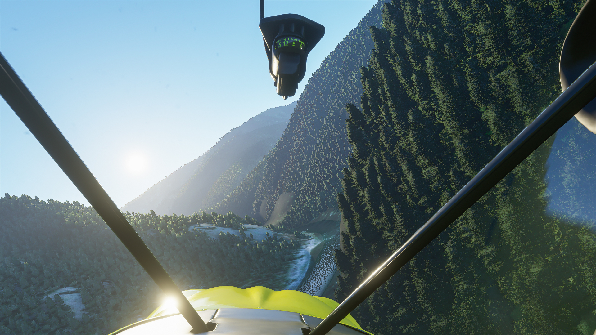
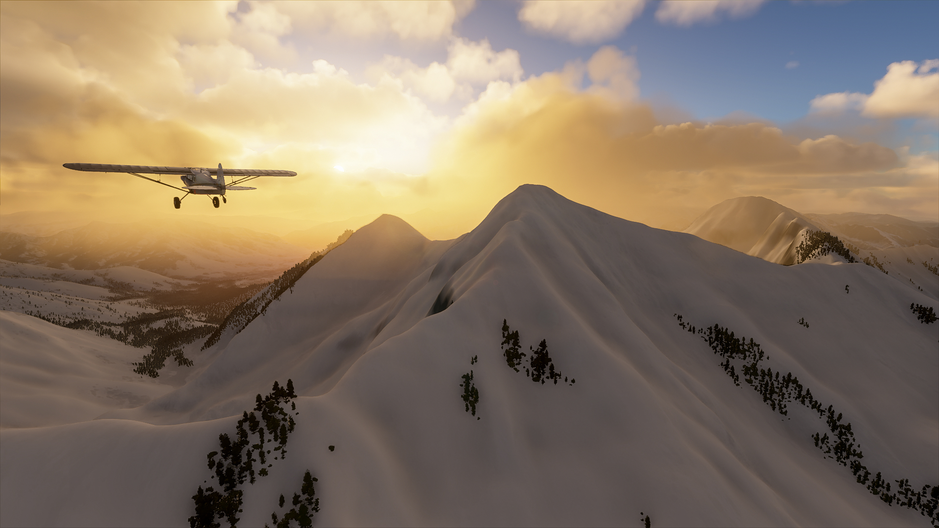
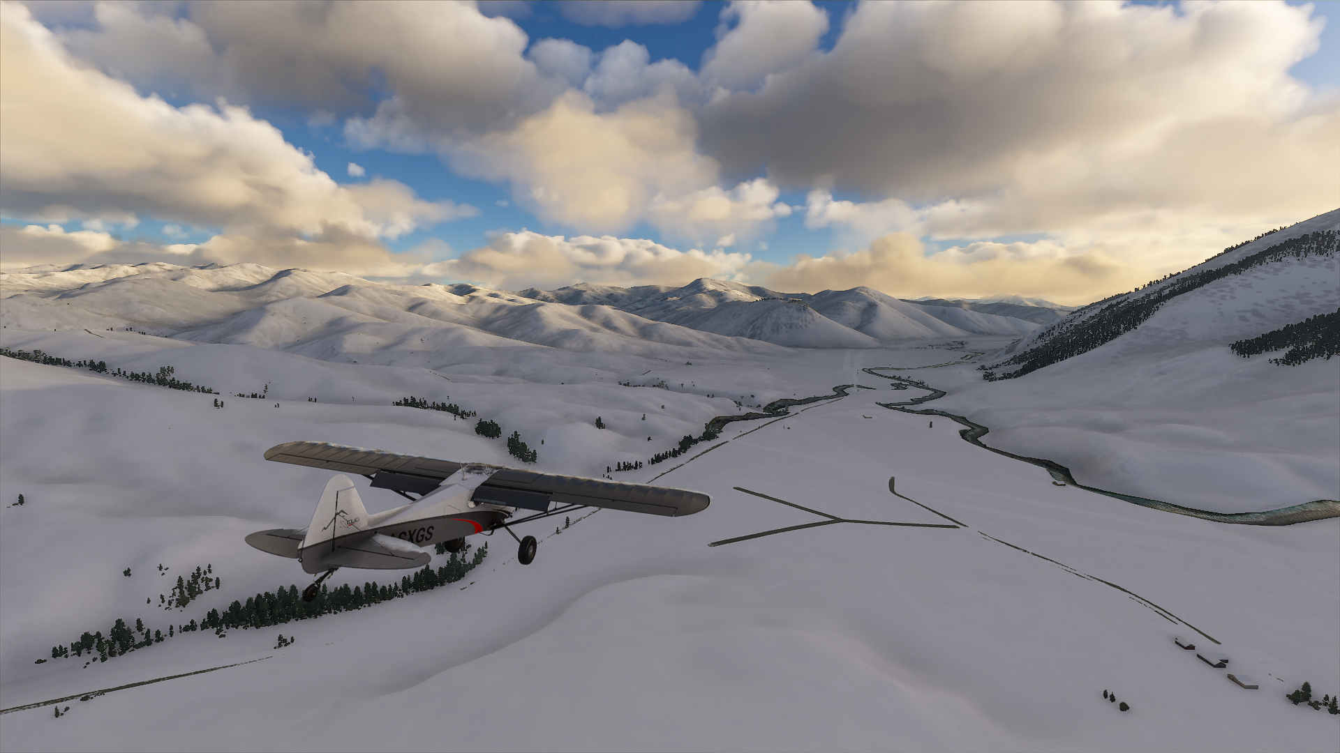
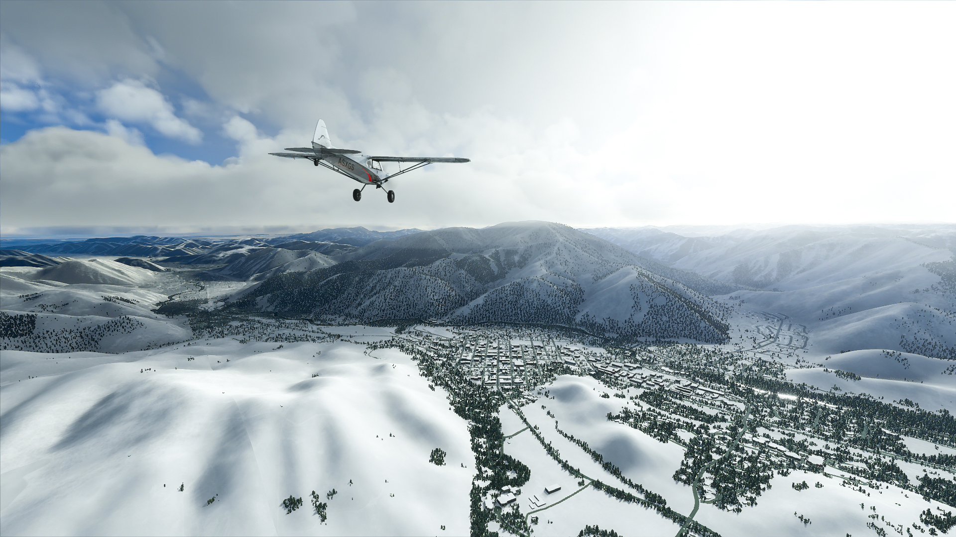
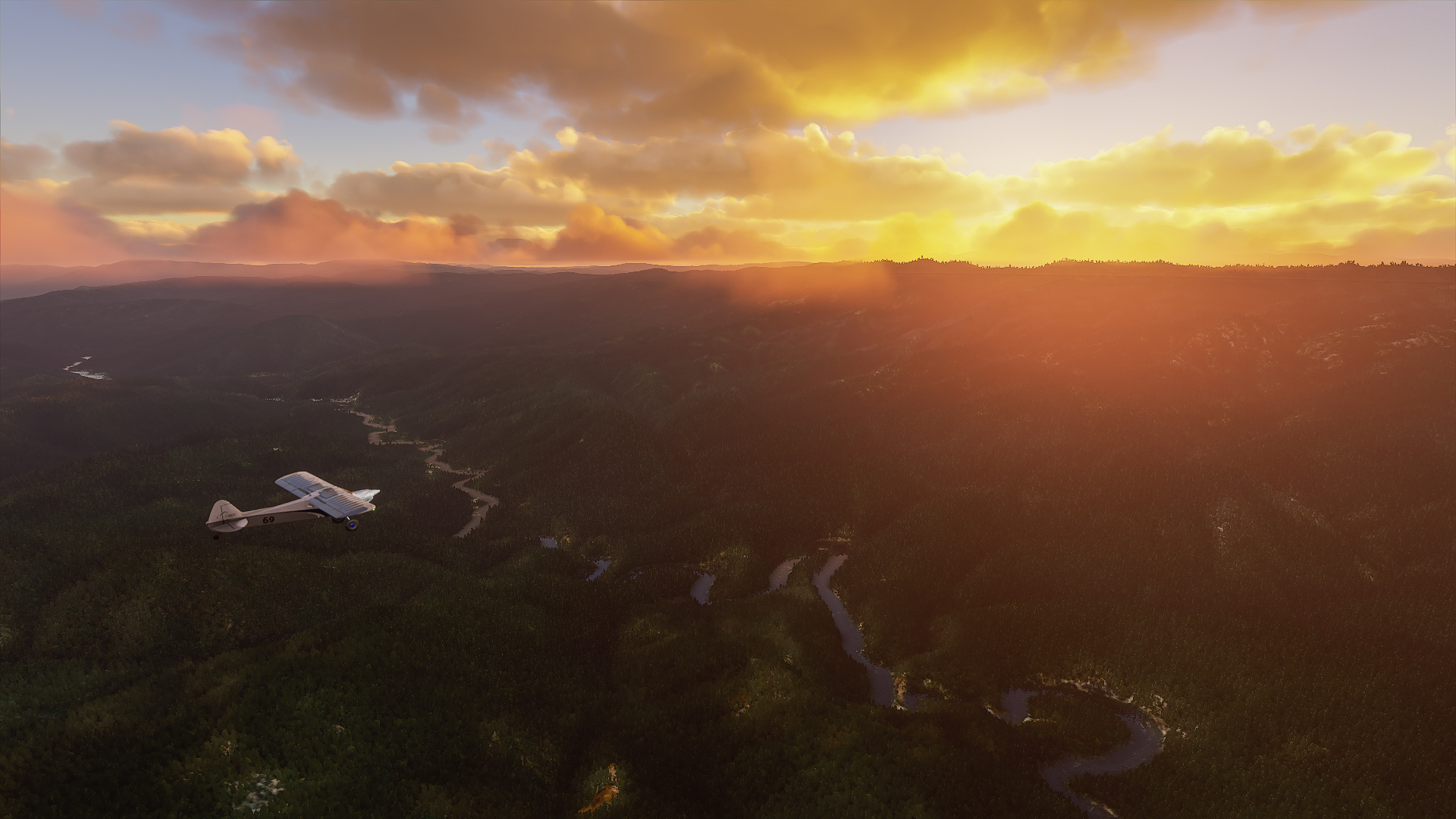
I lived on/off in Ketchum and backpacked and rafted all over Idaho. You included all my favorite spots plus some. I’m going to try the ICON to see how it does. When I was learning to fly the A5 my goal trip was Idaho going lake to lake. Hasn’t happened until now.
You’ve traveled to some of my favorite spots. Your post on Nepal and the photos were beautiful and touching. I’ve been there and Bhutan several times. Amazing people and a special part of the world.
Mongolia (and Mustang) have been on my list. Your images of the Mongolia Huntress are stunning. I’m walking around my place to see where a photo of her will best fit.
Ah, thanks so much man! I love Ketchum. Are you living there now? And yes, I have a couple water landing bush trips in the works using the ICON. It’s such a fun little plane. You fly IRL? I wish I did! I am just a keyboard pilot. And thanks so much for looking through my actual website of travel stories and photos. That Mongolia trip was so amazing, and the eagle huntress (Aigerem) was such an inspiration. Fun fact, that trip last September was the last time I was on a plane IRL. I was supposed to be back there at this very moment to document her competing, but alas, 2020 happened. And let me know which photo from Mongolia you would like. I do love printing, and do it all locally here in Boise!
*Added waypoint descriptions to the Idaho_Bush_Trip_Description.txt file and the blog post step by step descriptions.
*Added landing strip photos in the Google Drive folder under the sub folder ‘Landing Strip Images’ as well as the blog post step by step descriptions.
*Added tables to the Nav Log in Idaho_Bush_Trip_Description.txt
*Replaced Sawtooth to Smiley creek .flt file which was incorrect
*Various typo and general text cleanup
If anyone has downloaded the other package, please delete and replace with this one! Hope some of you started it and are enjoying it so far. I welcome all feedback, good and bad! Thanks!