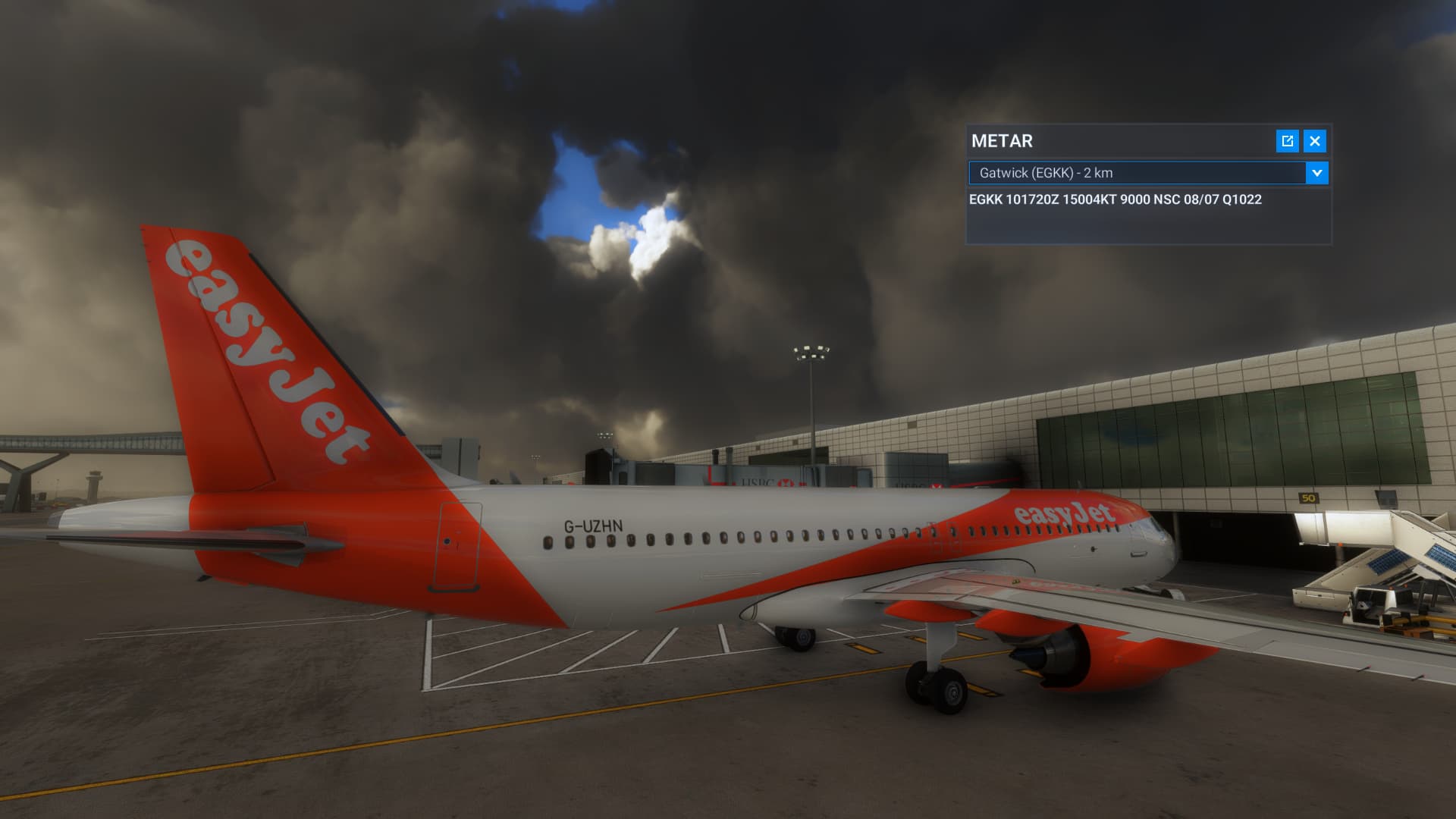
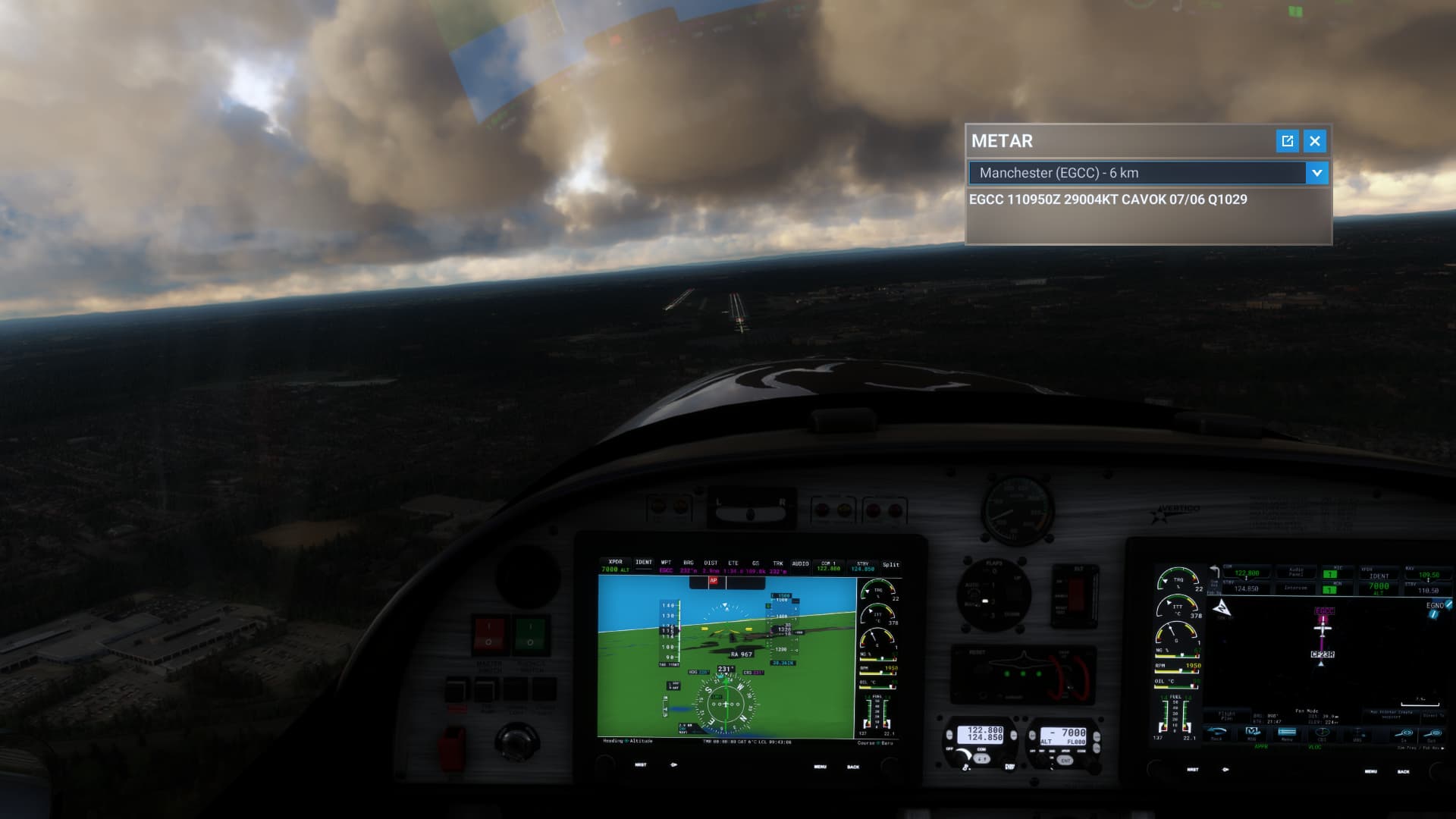
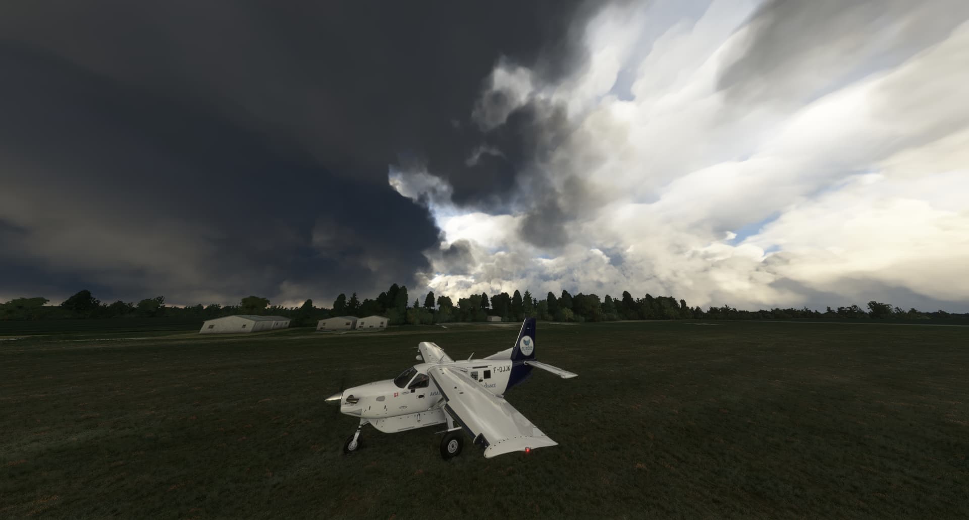
Gatwick now, No significant cloud says the METAR, looks pretty significant to me?
Yet again the new system,
i) looks ugly and not realistic
ii) is not accurate
Therefore doesn’t work and shouldn’t be in the sim.
Yep it’s totally incorrect there at Gatwick.
A report of NSC means no clouds of operational significance (that means cloud below 5,000ft or the highest 25nm min sector altitude) and no cumulonimbus or towering cumulus.
Your screenshot very clearly shows that is not the case here, the weather depiction is just not correct at all in regards to clouds heights, their types and coverage.
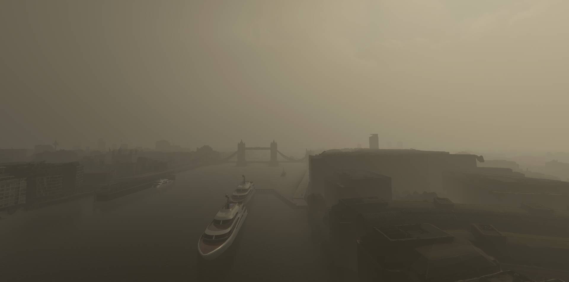
London is looking better this morning, though visibility is wrong. The cloud base should be higher than this as no way can I see 10Nm.

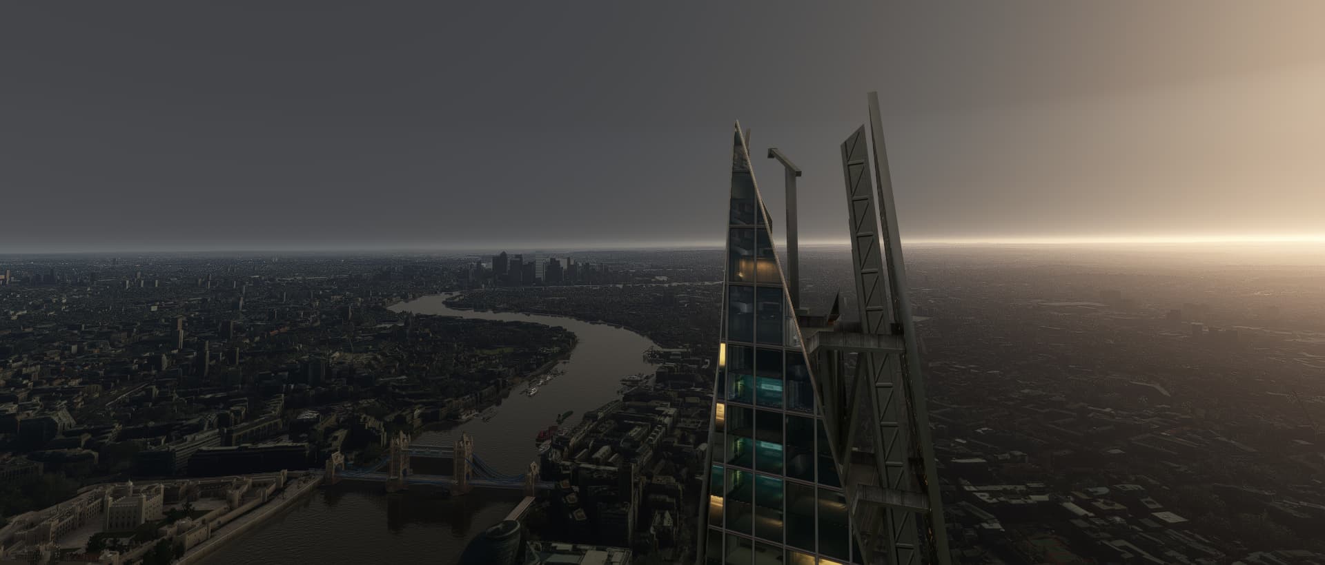
Here’s the view from the Shard, looking East. You can just make out Tower Bridge at the lower left:
Here’s what Windy.com has:
View from nearer the Thames, still looking east:
Here is manually adjusted Overcast weather with cloud base set to exactly 700ft:
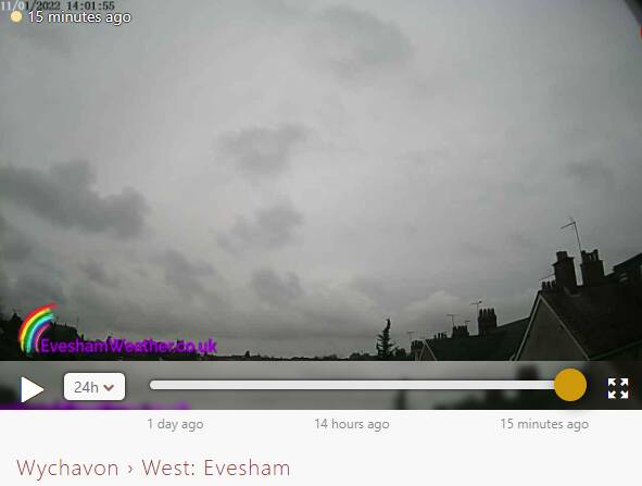
The live view from the Shard indicates the cloud base is much lower in fact, as you cannot see anything later than 2 hours ago.
Yes looks a bit better, probably by chance though.
At least no horrible towering clouds.
Your second photo seems like the classic failed overcast though, where you can see the sky and the towering clouds but they have a sort of then layer of haze below the.
Yes, if I looked in one direction in particular, NE, there was a gap in the clouds. I’ve had a play around with the manual weather to attempt to depict what the webcams are showing, and 700ft is not enough to obscure the view from the top of the Shard, even if you crank the cloud density to maximum. 200ft starts to approach what the webcam shows.
As you suggest, some weather is just not depicted accurately.
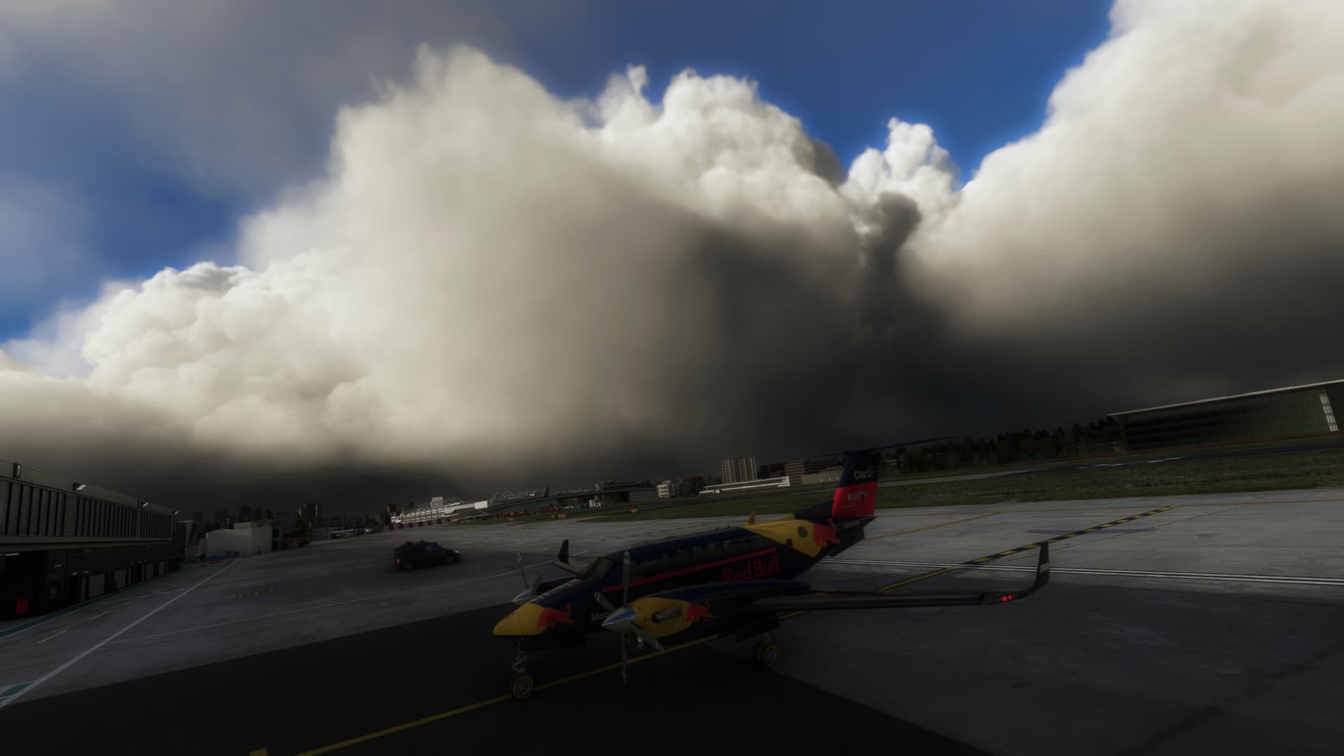
You need to check the top of those clouds, sometimes it looks good from underneath, but the top is the messy CBs
You can see from the webcam you posted there is a layer of higher overcast (which would not be detected by metar because it’s too high), it’s also clear by looking at satellite of that area.
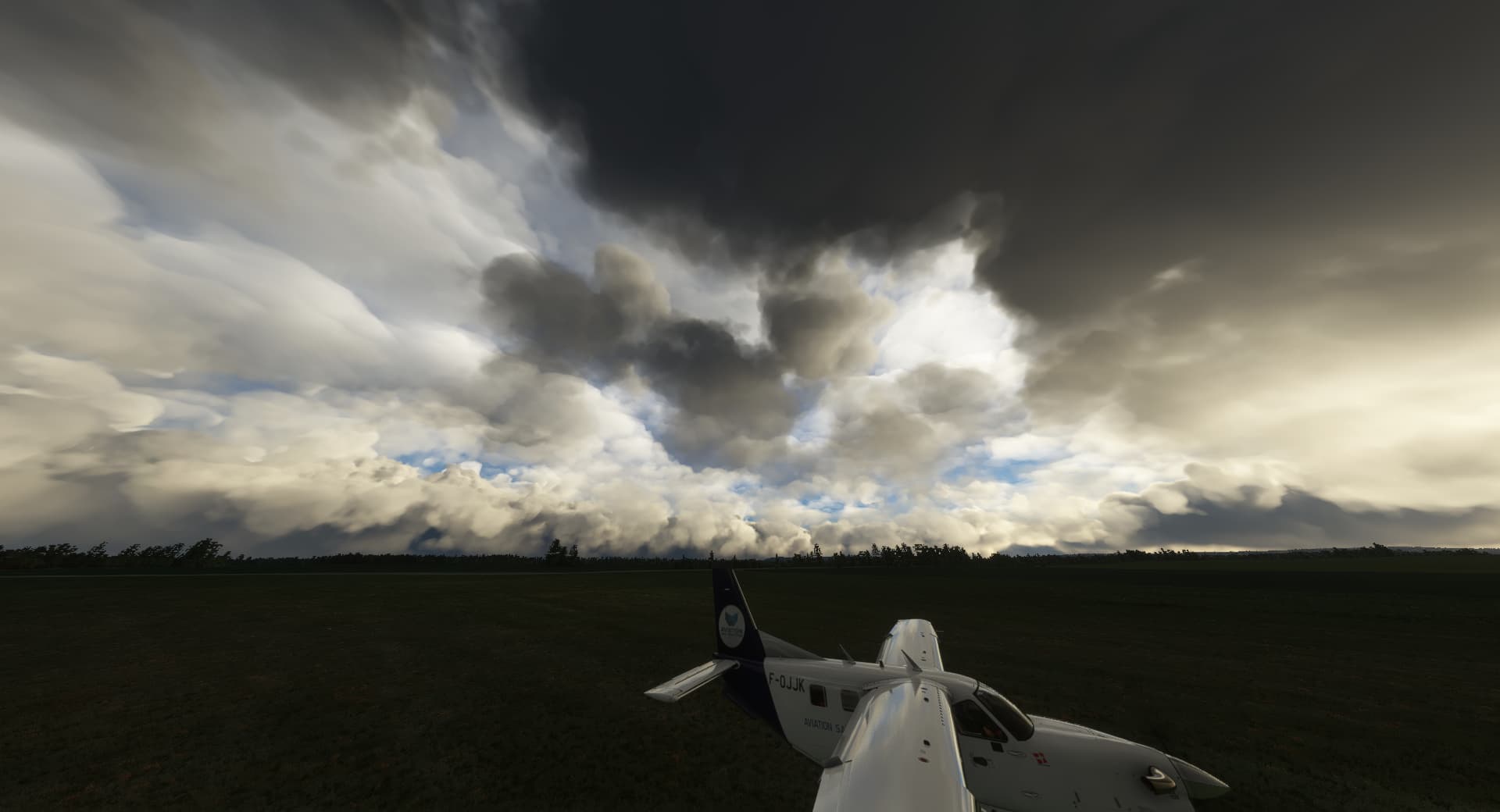
What Andy has posted looks nothing like it should, the types, coverage are not correct and it’s the usual over-convective mess we’re so used to seeing now.
This is the problem with giving too much reliance to METAR to draw a picture of the weather. Whilst the values METAR report are very accurate, there is also a lot of information they simply miss out, especially here in UK where their ceilometer detection typically only goes up to 5,000ft, meaning cloud above that does not get reported.
So now we have meteoblue reporting high cloud cover and a METAR reporting only that lower cloud, what we end up with is some mess of cloud that matches neither.
Kind of funny how people complain now that they are seeing clouds when METAR is reporting none.
That was exactly the issue with the totally METAR based weather engines of the past and it drove me nuts looking outside, seeing a high overcast layer and nothing like that in the sim, because the METAR doesn’t report anything below 5000 feet.
So finally we are nearing a realistic depiction, and people still get this wrong. ![]()
Granted in the example posted it was the wrong type of clouds, but at least there were some as there should have been.
Fun fact … The UK has the most changeble weather in the world.
You obviously have never lived in Atlantic Canada!!!
No I haven’t but the BBC dedicated a whole program explaining how the UK is at the junction of three contesting weather systems plus the gulf stream … they never mentioned Canada once.
the fun fact is that even in Ireland where I live the weather was always exact in the game for me before su7, stop trolling honestly!
How is this trolling? Look it up.
We have about the same thing.
Weather from the southern US often follows up the Atlantic Coast, prevailing westerlies give us all of the mid continent weather and then the arctic cold mass likes to move down.
We also have the gulf stream just offshore as well, but that is a lot warmer here, as it loses a lot of it’s heat before it gets to the UK.
Maybe we should call it a draw? ![]()
Well, of course, we had it tough. ![]()