Live Weather Reports and Discussion

Since the weather comes from a predictive forecast model, and not real-time observations, unless the model foresaw the possibility of fog at a specific time, you will not get fog in the sim. In any case, the way the current weather environment is built, I don’t think fog can be properly created even if the model predicted a 100 percent chance of it.

In fairness though, even the very best forecast models can have a difficult time predicting whether fog will form or not at a given location. At this time of year (early autumn), my local airport often has dense fog that forms around 05:00 local time and burns off around 10:00. It is a very localized phenomena, because the airport sits at the lowest part of a valley, and cold air pools in low spots. Most mornings, the airport might have 100 yard visibility, but if you drive just a mile east or west, the sky is perfectly clear.

The NWS forecast model that is used to generate the official terminal forecast for the airport almost never “sees” the possibility of fog forming. It doesn’t have enough resolution to detect the fact that the airport elevation is 20 feet lower than the surrounding parts of the valley. The forecasters at the local NWS office always have to hand-modify the official TAF forecast to add the prediction of LIFR conditions, based on local knowledge of the area’s microclimate.

Obviously the only way to get 100 percent accurate airport weather is to use real-time METARS instead of a forecast model. Models can do a reasonable job of getting “close” to actual conditions, but the other evident problem with the MSFS weather system is that the server often does not provide the predicted weather for the actual local time and date for a specific location.
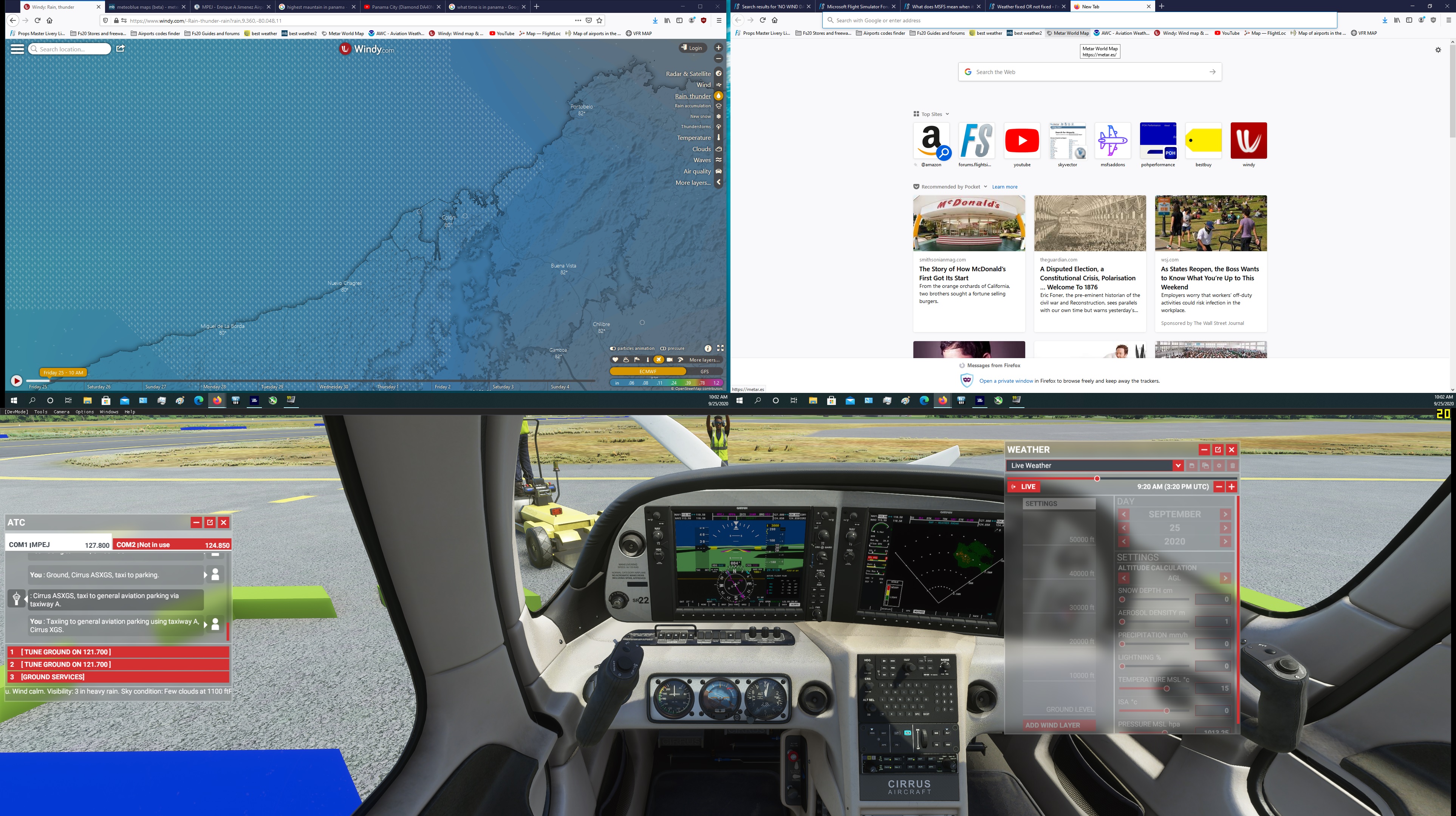
I don’t know,

that MeteoBlue system is perfect but MS/Asobo need have data correctly synchronised in my opinion. If some weather is delayed, then we can have different weather of course.

I am wondering if the sim is misinterpreting the upper wind speed in the model as if it was expressed in km/hr and doing an unnecessary conversion to knots, when the speed was already expressed in knots in the first place? That would possibly account for the fact that upper wind velocities are always too low.

There seems to be a similar conversion error going on with surface winds, in relation to their effect on waves on water bodies. It appears that when manually setting surface wind in the custom weather dialog, much higher values for speed now have to be used to cause waves with whitecaps than in earlier versions of the sim.

So MeteoBlue is the source of truth? What is the best way via online web user experiences should we use to be able to compare what is online against what is in the sim? I’m wondering what data/metadata we should be collecting to fill in our reports to ZenDesk?
I assume, Live, time of day, location (country, city) or Long/Lat? What the sim was showing for the weather vs what the website was declaring was the weather. I’d also assume that there are issues where if you live somewhere you can look outside and see the weather to compare what is going on in the sim.

Acordning to atis is heavy rain

rain lol

And on top of that incorrect time zone

Running the standard version with the latest update, live weather doesn’t work correctly.

I’ll fly to an area with active thunderstorms in the real world. I’ll select Nexrad on the TBM MFD and it displays the rain. I’ll fly through heavy rain as depicted on the MFD, but out the window no rain or storms. On one flight it was just a broken cloud deck, but not what was being depicted in the Nexrad or radar.

Hopefully this will be fixed in the next update.

I will say for certain that winds aloft are very close to what is forecast (if not exactly the same)

The in-sim winds where I’m currently flying, over the southern Irish Sea, have mostly been closely matching what windy com states. As had been noted before, the in-game wind speeds are a little low at runway level, but otherwise, the biggest difference I’d seen while climbing has been an error of maybe 20%, in a location where windy com shows windspeeds varying rapidly over a small displacement. I’ve just got to FL 300, where windy com says 140 kt, but the sim only shows 100kt (increasing slowly), which isn’t as good, though I suspect that actual wind-speed data is going to be sparser at this altitude, so it is entirely possible that Meteoblue and windy com have differing values anyway. Either could be right. Both could be wrong.

And to address a point made earlier, no, there isn’t a conversion error involved anywhere. Flying directly into an 107 kt headwind at 278 KTAS, my groundspeed is 172 kt. A 1 kt difference, probably due to rounding.

As I said in an earlier post, I suspect there may sometimes be an error due to wind speeds being based on AGL instead of ASL - I’ll take a look in another location later.

When it comes to upper winds, there are no “real-time” observations like there are for airport METARS. All upper wind data used in aviation comes from one of several different forecast models, so there is no ultimate truth when it comes to upper wind speed or direction - it is always a prediction.

The Windy app itself can use one of three forecast models for its upper wind display: NAM, ECMWF or GFS. The NAM model is high resolution and created in the US, but only valid for North America. The ECMWF is a mid-range model created in Europe with worldwide coverage, and the GFS is a lower-resolution model created in the US, also with worldwide coverage.

In the Windy app, you can bring up the menu page, select a pressure level for the animated wind display, and switch between GFS, ECMWF or GFS, and see quite a “difference of opinion” regarding the predicted position and orientation of jet streams and the exact wind speed and direction at any given location.

The official aviation upper wind forecasts issued by the US normally are based on the GFS model.

Thanks, HalberQuacky, that makes a lot of sense. I’d not noticed the option to choose between upper-level wind models - the next time I’m looking into what the sim does, I’ll bear that in mind.

This does rather confirm what I’ve written elsewhere - that expecting MSFS to always comply with ‘real weather’ is problematic. And almost certainly just plain impossible, except in broad terms, at larger scales. You can’t model what you don’t know…

As has been mentioned many times in this thread and elsewhere, they should not have called it “live weather.” It isn’t, wasn’t intended to be, and probably never will be. I don’t personally believe that it is impossible though. It would just be way too much work.

I think one poster used the word dynamic as a replacement for “live” - I rather like that one.

The general consensus amongst people watching the various weather threads is that the game’s current problems are on Asobo’s end (implementation), not on meteoblue’s (the model). HalberQuacky covered the model quite well in an earlier post. I have every confidence that meteoblue’s data would compare well to another global forecast model. It is just a matter of getting that model into the game, and whether there is a timing problem, an update/polling problem, or whatever - that is most likely where the hiccup is currently.

I continue to implore Asobo to actually give a detailed explanation about how meteoblue’s data is being implemented at both the server and client level so that players can actually be able to discern what is happening in their own gaming experience.

I think I’ve found a workaround. In order to get live weather working on more than one flight, select clear skies preset when loading in, and then change to live weather once you’re in the cockpit. It seems that somehow after the first flight the live weather setting is overwritten by the clear skies preset, but it gets fixed by choosing any other preset before loading in.

I thought of that and did some quick checks, but couldn’t find a pattern trying to go from km/h to knots, m/s, or mph. And then there are times when the numbers are quite close, so I don’t think it’s that. And I also did tests at locations over the sea, so a ground level/sea level/elevation bug shouldn’t be the problem either.

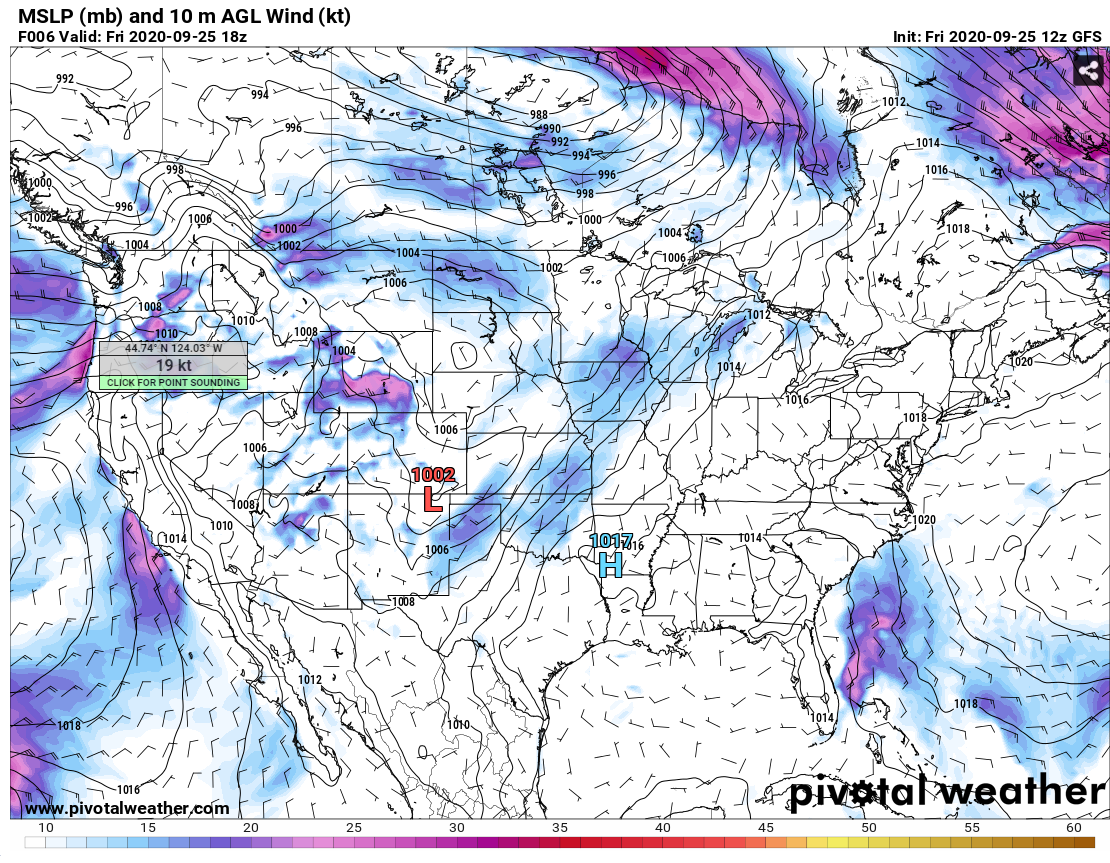
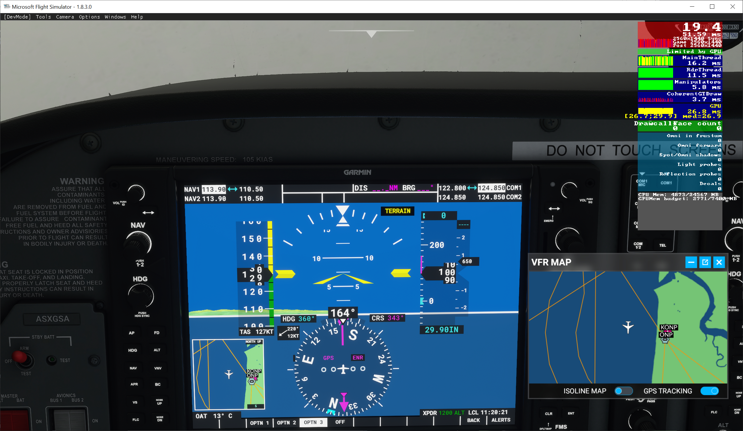
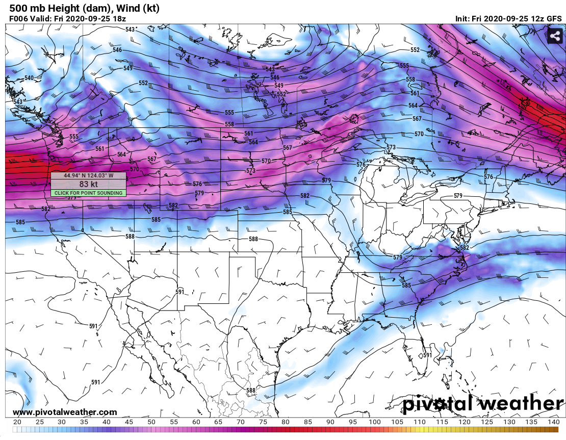
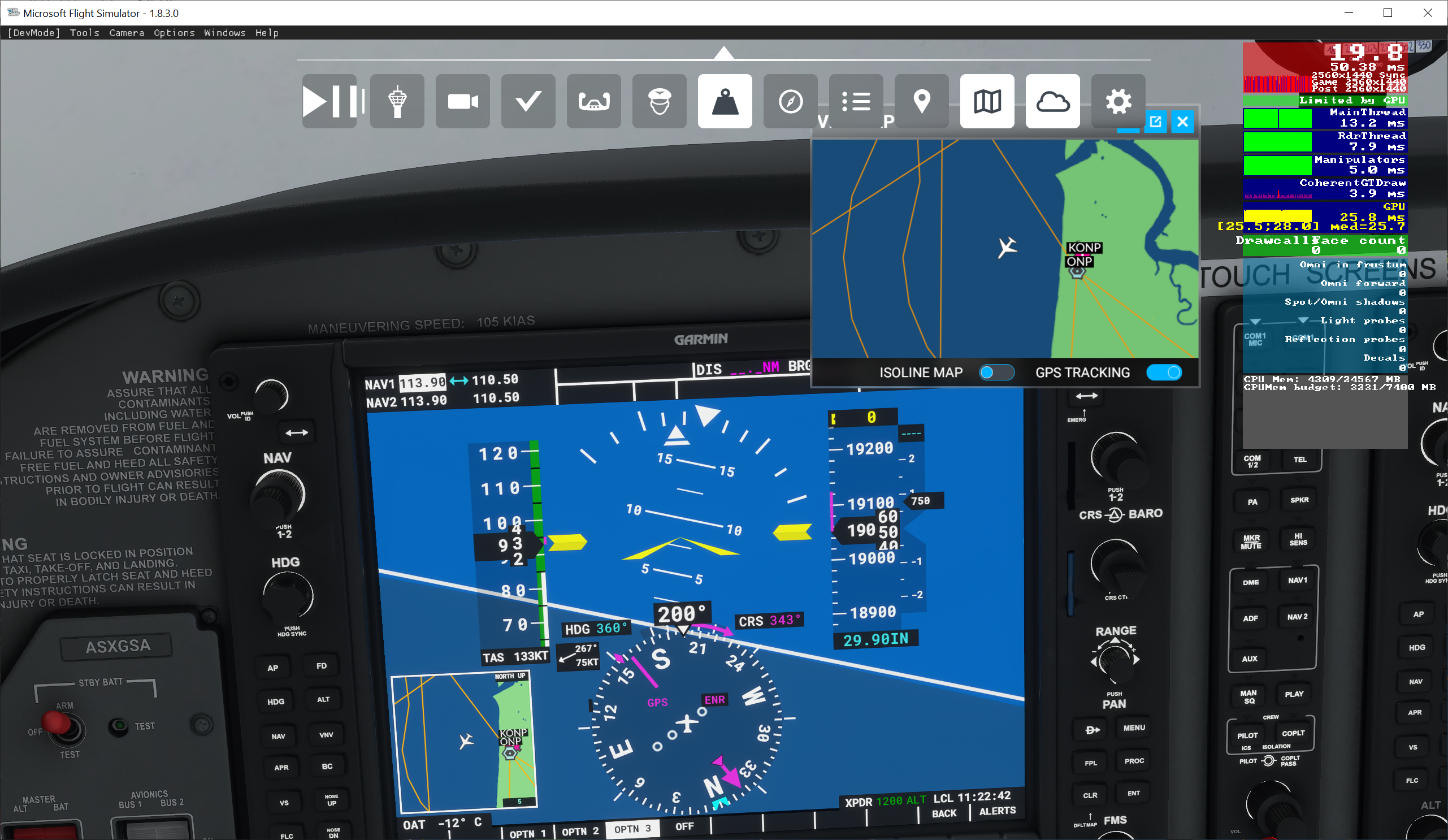
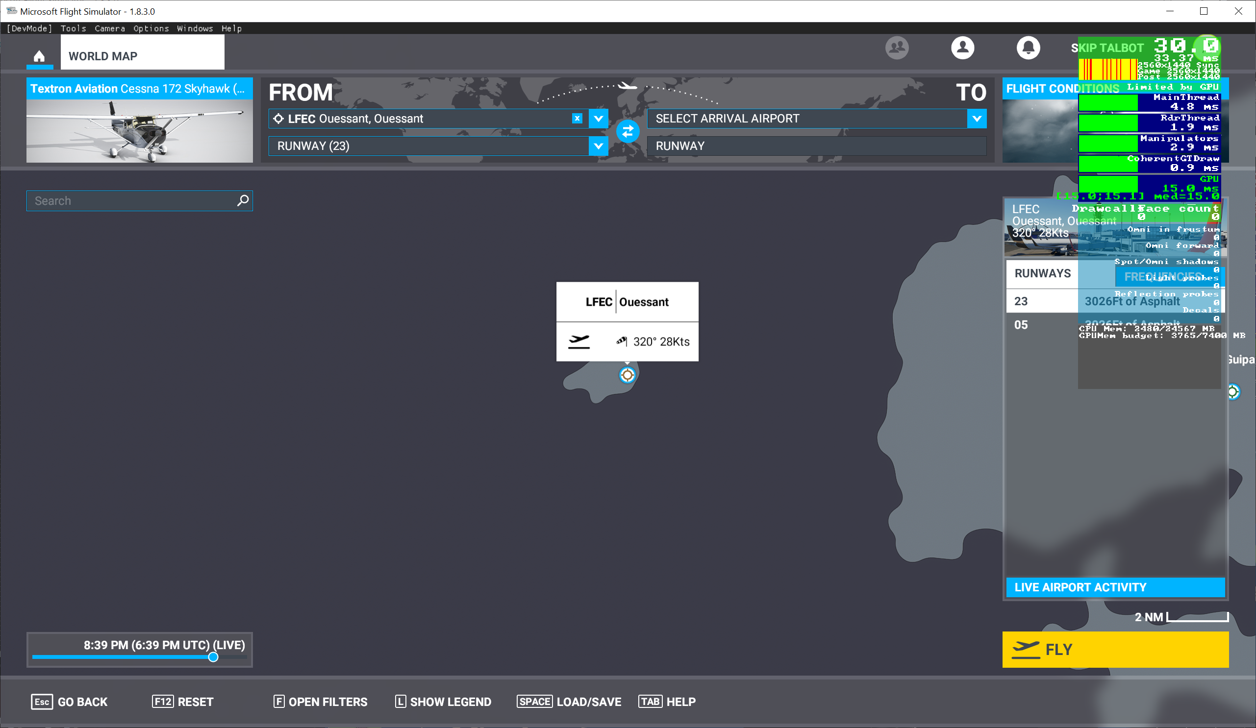
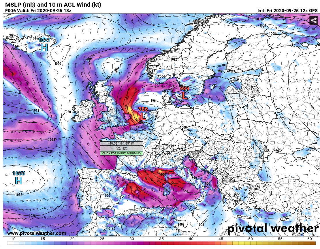
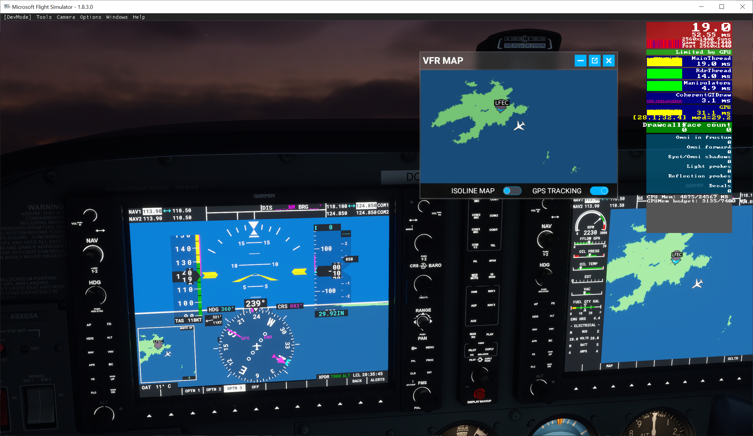
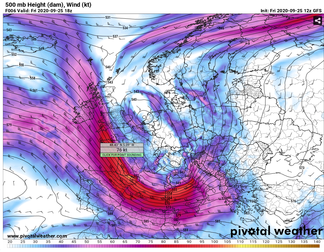
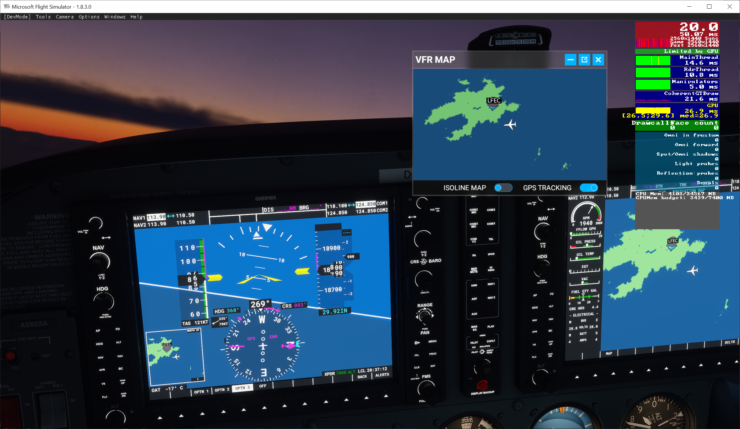
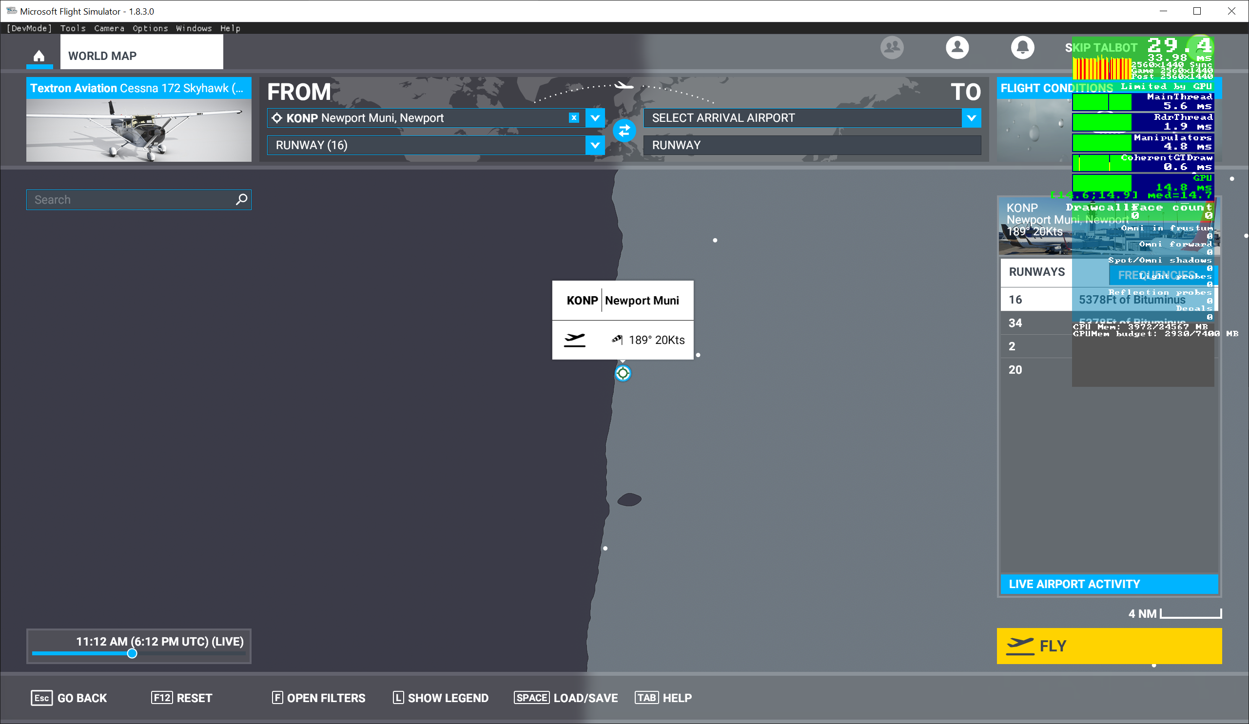
Two more quick tests today in locations where the midlevel jet is kicking. I compared against the 6 hour forecast from the 12z GFS (matching the test of 18z). Tried on the Oregon Coast at KONP and off of northwest Fracne at LFEC. Both featured 500 mb winds at ~80 knots and ~20 knot surface winds per current obs or analysis.

In both locations, the surface winds were way too low in the sim compared to both the GFS and surface obs. I moved the aircraft offshore and elevated it slightly even in case terrain was an issue. At the (approximate) 500 mb pressure level, however, they were remarkably close to the GFS values.

So still no rhyme or reason here that I can find, sometimes the wind speeds are off everywhere, sometimes they work at some heights/places but not others. I suspect multiple issues are going on here, such as old model runs, or intermittent bugs in the game.

Oregon surface winds too low in sim:


Matching at 500 mb:


France surface winds too low in sim:


Matching at 500 mb:


Having done some testing in the tail-end of the jetstream over the Idaho-Montana Rockies, I’ve come to the conclusion that my earlier suspicions regarding height of terrain causing errors in wind speeds (and temperatures) are probably correct, though it’s hard to be definitive, given other possible bugs. The numbers I was getting definitely seemed to err in the direction they would if the sim weather model was treating ground level as ‘sea level’. This may not have been the best place to try it out though, and Tibet (where the terrain is consistently high) might be a better option. If I can reproduce this there, and find a way to objectively demonstrate the problem, it may be possible to submit a proper bug report.

Looking at the current 200 MB chart for the US, the upper Midwest into the Pacific Northwest is about the only place where there are any significant winds to speak of. Over the southwest it’s almost dead calm, and the only real jet max is right over the Oregon/Washington border at the moment. A typical early fall pattern.

Unfortunately the winds over the Himalayas are not much better. At 200 MB, the winds are only between 5 and 30 knots. There is a highly zonal flow farther north over China and Mongolia, with a max of about 100-110 knots.

Yeah, getting the right conditions is clearly key to investigating the weirdness I’m looking into. What I can do though, even without wind, is see whether temperatures are wrong (too high) over high ground, which seemed also to be occurring.

I’ve been using the TBM to investigate, since I’ve not flown the jets enough to be confident in what I’m doing (and most seem to have bugs which may make things difficult). This limits me to 300 MB/9000m/FL300 or thereabouts anyway - at least per specs, though given the known bug in turboprop engine output it seems it will actually go a fair bit higher. Not sure about 200 MB - that’s FL 390, unless I’ve misunderstood (which wouldn’t be impossible - all these different units get confusing).

The altitude for a constant pressure level varies but 200 mb averages about 39,000. The 300 mb chart would be better for the TBM, as that averages about 30,000 feet.

I have noted there is a bug in the “ISA” temperature reading in the TBM. It appears to be showing the difference between the current outside air temperature and the standard ISA temperature at sea level (15C). In an aircraft, ISA deviation should show the difference between the current outside air temperature and the standard ISA temperature at the aircraft’s current pressure altitude, which is
15 - (1.98 x PA) where PA is current pressure altitude in thousands of feet.

I did report that bug to Zendesk.

The other question is where the temperature reading is coming from. In FSX and P3D, simconnect provides two temperature variables that aircraft developers can use to drive flight deck temperature displays. “AMBIENT TEMPERATURE” , which is the actual static outside air temperature, (SAT), or “TRUE AIR TEMPERATURE” (TAT) which shows the temperature rise caused by the air being compressed by the aircraft’s forward motion through the air mass.

TAT will always be higher than SAT, and the difference increases the faster the aircraft flies. It is mainly significant in jet aircraft that average 400+ knot cruise speeds, and all jet aircraft performance calculations are based on TAT, since that is the temperature the aircraft actually “feels”.

But, even a turboprop will create some TAT rise. I wonder if the TBM is using the wrong temperature variable for its display?

I’m quite sure that MeteoBlue’s upper air model will contain the predicted static air temperature for any given altitude and location, and the MSFS weather engine should set the ambient temperature directly to that value. If the atmospheric model of the sim is automatically applying a correction factor to ambient temperature based on the aircraft’s altitude above terrain, that would be a serious error. It would not a be a “bug” in the sense of the kind of programming error that causes CTDs, or avionics shutdowns, but a “logic bug” caused by a flawed understanding on the part of Asobo as to how the atmosphere works.

Now that FSUIPC is available for MSFS, I should be able to use a program called “Monitor FSUIPC Data” made by Ruscool software. This program allows the display of actual in-game simconnect variables in real-time via FSUIPC. John Dowson says that due to the current state of the SDK, the beta version of FSUIPC for MSFS does not show all simconnect variables, and can not control weather, but I am hoping it can at least show the current in-sim values for SAT, TAT, pressure altitude, IAS and MACH. This would be a good way to correlate what the aircraft displays show vs. actual in-game conditions.

I’ll give this a try and report back.

It’s almost like they purposely toned the weather down so as to not scare away the gamers. That’s fine and all, but if that is true then at least allow a “real live weather” or call it a “Real Simulators Weather” option.

The clouds are toned down to a less extent (some are very transparent and IFR doesn’t seem to be attainable easily - and the clouds tend to dissipate as you approach them like cotton candy into your mouth), but yes, especially the WIND and the TURBULENCE. I’m a RW Pilot too, and I’m sure many will agree it’s generally a LOT more bumpy up there (especially small planes) than what the sim is leading us to believe. Sure, there are those beautiful clear, perfectly smooth mornings and even days, but that’s pretty uncommon.

It would really help if we knew what live weather they are bringing into the SIM, so we can go to the proper website (Meteoblue? But what date/time?) and see what the weather is going to be like on our route. Right now, we cannot compare any “live” real world weather maps to the sim, it’s just not matching up.

I’ve called on Asobo to drop the word “live” from their material for a month now.

Yes, it would. Communication from the developer has been ■■■■-poor. We the community still know almost nothing about how weather (and most other things) is implemented in the game. As has been mentioned here a number of times, there is no reason to doubt meteoblue’s supplied model data. There is however reason to doubt Asobo’s implementation of that data.