Well, that’s it. Fantastic! And it’s way more to the South than I was searching for.
1 Like
This leveas #1 #6 #12 #17 (#30) #32 #36 #38 still open. ![]()
2 Likes
Number 12 is in Los Angeles, taken over Bell Gardens and Downey looking east towards the San Bernardino Valley with Mt. San Gorgonio and San Jacinto Peak in the background. Since the image is zoomed in, it’s not that easy to make out specific landmarks, but there are some clearly identifiable buildings, for example, the cluster of white lights at the bottom of the image is the Bell Gardens Sports Center and the larger white flat building at the lower right is the Home Depot in Downey.
2 Likes
I’ve always thought this as well. Good job finding those landmarks!
2 Likes
Me too, but I could never pinpoint the exact location because of the time of day and the zoom. Today I was lucky.
2 Likes

Jokulsarlon, Iceland
4 Likes
Hello,
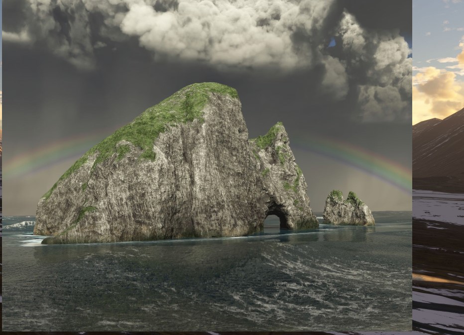
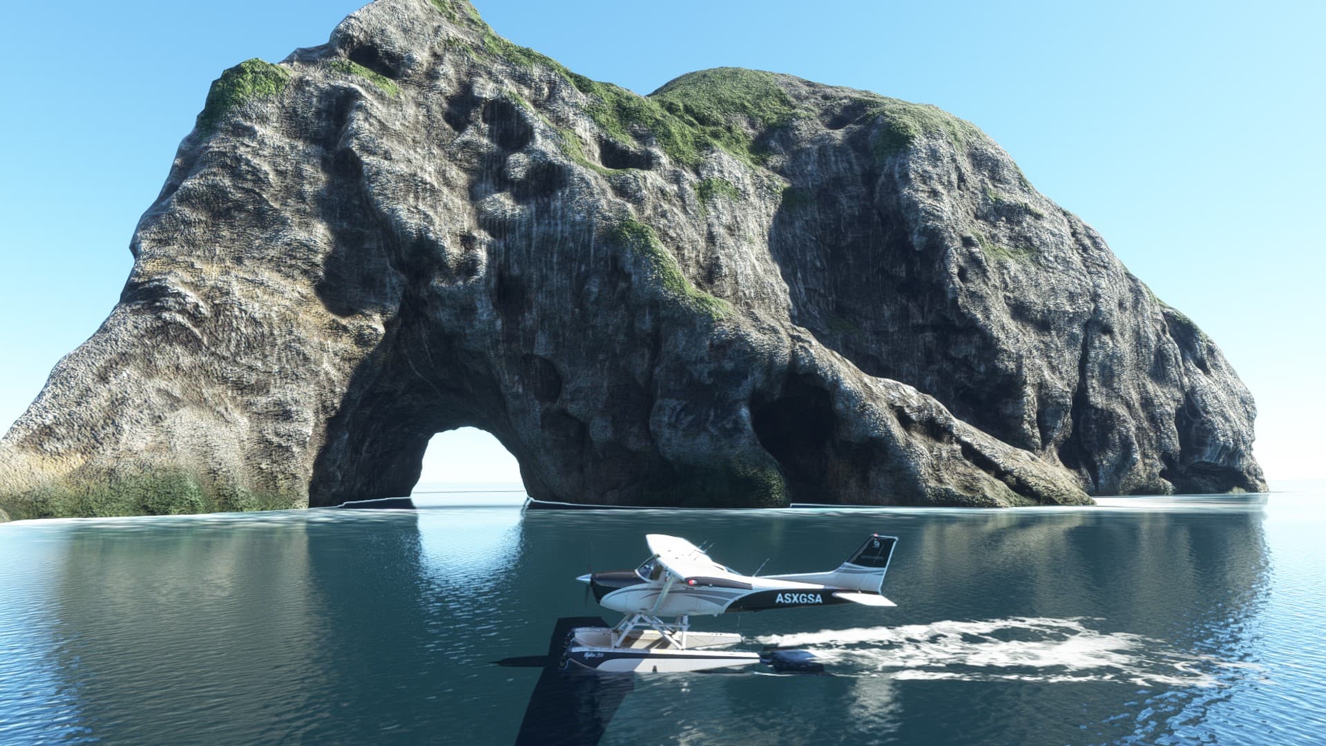
That is Motukokako, Piercy Island in New Zealand.
(Credit goes to @StarThe2nd1589 for that answer!)
1 Like
Ok thanks, I’ll fly over there to see if I see it
1 Like
N316TS thank you
2 Likes
In the current loading screen with the New Zealand info, which airfield is the one shown as one of the bespoke ones?
1 Like
I keep seeing this on the loading screen and have no idea where exactly it is or what its called…anyone know?

2 Likes
Look at the flag ![]()
-Here is a link for you to help you a bit: [GUIDE] Asobo Handcrafted Airports
2 Likes
Try here
4 Likes
I don’t wish to be rude but i probably will be that was No help i already Knew it was new zealand as it said at the top of the page showing the image and i had already looked at the list of airports but if i dont know where it is or what its called then looking at a list of names is not going to help is it?
- NZGS - Gisborne Airport (New Zealand)
- NZMF - Milford Sound Airport (New Zealand)
- NZMJ - Martins Bay Aerodrome (New Zealand)
- NZQE - Gorge River Airstrip (New Zealand)
- NZRO - Rotorua Airport (New Zealand)
- NZTL - Lake Tekapo Airport (New Zealand)
- NZWR - Whangarei Airport (New Zealand)
- NZWS - Westport Airport (New Zealand)
- T004 - Quintin Lodge Airstrip (New Zealand)
still no idea which one it is …yes i could visit every single one but i thought was just a simple question and answer
1 Like
Because it’s so small,I wonder if it might be one of the ‘Airstrip” ones.
1 Like
Did you not see my post?
1 Like