MSFS 2020 & Virtual Tourism: The Flight Simulator I Always Wanted

I’m not a pilot in the real world, nor have I ever been one in the virtual world. I like planes - on a surface level, aesthetically, I guess, but I’m not obsessive about them, and I really couldn’t tell a Cessna from a… well, from another manufacturer. As for virtual piloting… not so much, despite having owned both FSX and XP11 in the past few years. I even gave away my HOTAS a few years back because I just wasn’t using it (nor did I ever fully understand how to use it effectively).

And then MSFS 2020. The visuals grabbed me first - of course they did. I’m easily impressed by shiny things. Then I must have read an article or seen a video in which the A.I. was briefly discussed, along with all the ‘assistance’ being built into the sim to make things easier for those less familiar with the intricacies of virtual piloting. Now I was really very interested. This didn’t sound like it was going to be another XP11…

Long story short: Having no real interest in actually flying a plane (virtually or IRL), but absolutely hooked on that promise of real-world satellite imagery of THE WHOLE ENTIRE WORLD! I put down £109 for the Premium Deluxe Edition and figured, based on what little I knew about the sim’s A.I. assistance, that I’d take my chance this might be ‘it’ - the flight sim I’ve always secretly wanted, and quietly resented never having had.

Four days in, I’m loving it. Seriously. This thing has blown me away with its staggeringly good looks and its accessibility. For once - just once - I got exactly what I paid for. I’ll admit I haven’t actually done much piloting. Which is precisely why I love it. The A.I. flies me anywhere I want to go. In this time of the global pandemic, with all of us more or less indefinitely grounded one way or another, I’m not sure MSFS 2020’s timing could have been any more perfect.

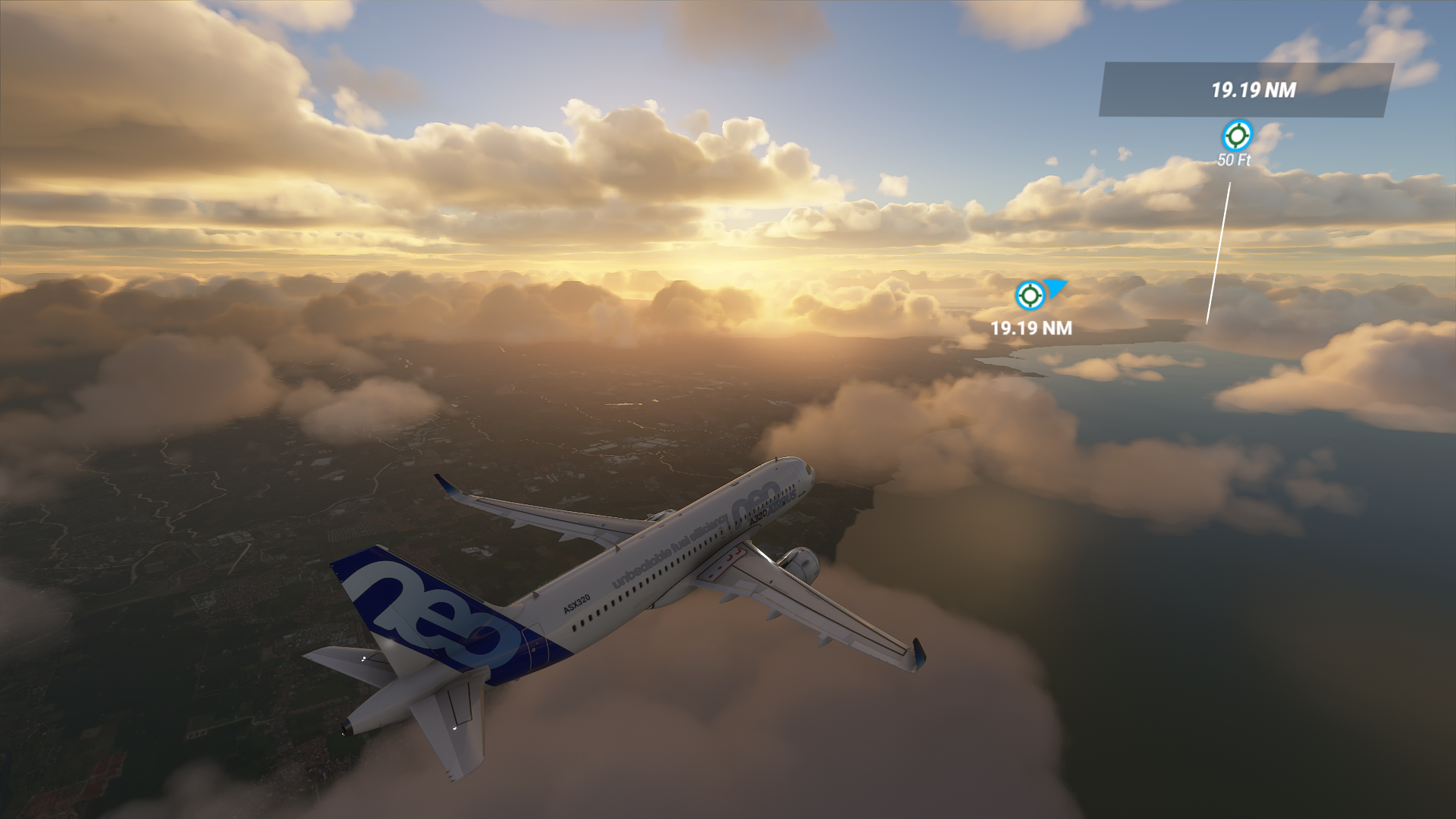
For me, virtual tourism has been a real tonic. Today I’ve been to Zanzibar, The British Indian Ocean Territories (needs better water FX), Honduras, and Haiti (unexpectedly epic and impressive). Over the past four days, I’ve flown the backroads and byways of SE Asia, India and even Northern China. But I didn’t fly myself to any of those places - the A.I. took care of all that. The views have been magnificent (and that really doesn’t do them justice). And the views are only going to get better and better. That makes me happy.

Not sure what the point of all this was, except to say we all come to experiences like this seeking something personal, some individual need or purpose. I respect the virtual pilots - the true experts - and I’ll happily give you all a wave as you speed past in a blur of noise and colour in total control.

Me? I’ll be staring at the impossible beauty of the unbelievable vistas sprawled out across some ocean below, wondering (quite literally) where on Earth I should book a virtual plane ticket to next…?

20 Likes

Aye , it really is awesome, ofc I have always loved low and slow!

2 Likes

im curious. if that’s all you really wanted, were you not aware of google earth pro?

it is full aerial imagery and terrain data for the whole world, plus google street view (actual seamless panoramic photos from street level), plus there’s actually a rudimentary flight simulator built in, points of interest mapped out, links to more information, etc.

installing this monster of a flight sim seems like a long roundabout way to get to what you were interested in.

I’d recommend the bush flying activities, adds a bit of flying and a lot of mountain scenery to enjoy.

Last time I tried the google earth flight sim it couldn’t lay a glove on what MS has delivered. Google earth has always been good to check out a location, but only FS2020 makes you feel like you’re there.

2 Likes

see when i like to “virtual travel” i fire up google maps and get into street view… thats why i brought it up.

i have planned entire real world vacations by looking at a city in street view and finding pubs to check out, etc.

2 Likes

It’s a fair point, but as much as I’ve long been a fan of both Google maps and Bing maps (and have lost many hours staring at the sheer wonder of it all), MSFS 2020 finally offers me the opportunity to experience such imagery in a beautifully rendered 3D world, in real-time, from a pilot’s eye-view - or, in my case, from a passenger’s eye-view.

4 Likes

I’m working on an add-on which will allow you to explore the world Think about a taxi or car you can drive through the virtual cities. It’s an ambitious idea but I think it might work well within this sim.

What’s even cooler is that I’m totally into the geeky flight stuff, although I’m in love with the scenery too. But this thing fits what we both want (or it’s really close.) They’ve built a pretty amazing thing here!

2 Likes

Rudimentary is generous. The “simulator” has more in common with an Etch a Sketch than it does with a flight sim.

When I was learning to fly I was looking for a way to visualize a particular cross country route I was planning. It was just ridiculous how hard it was to get sort of what I wanted.

One of the first things I did was fly that route in FS. It was exactly what I could have used back then. Lots of plane, camera and drone control makes is pretty easy to get a look at whatever is of interest.

I highly recommend MAPS, the map included with Win 10. IMHO it is much better than gmaps and is super helpful for VFR route planning. It is so much more useful and well designed. gmaps looks like it is made of wood relatively.

1 Like

You have spoken from my soul. Thank you very much for this great contribution. One of the most beautiful contributions I have read here.

3 Likes

This speaks to me as well. I didn’t have any irl aviation interest as well (now I do) but I do like traveling a lot. The realistic (well, as realistic as it can be atm) graphics got my attention, but the virtual piloting got me hooked.

I encourage you to try flying the planes yourself as well. Master one plane (such as the Cessna 152 or the 172 with G1000) and go from there. It’ll take you on a whole different level of immersion!

Over the weekend I practiced so much (+/-10 hours, no prior experience) with the 172 (G1000), I’ve slowly disabled piloting assistance, and before the weekend ended I’ve disable most of the navaids (landing and other markers). My first landing (in cockpit view) and hearing the wheels bump on the asphalt was very satisfying!

Now, I just spent a couple more hundred bucks for a bigger monitor and hopefully once they’re in stock a flight stick + throttle combo!

3 Likes

Honestly, virtual tourism gets exponentially more compelling once your learn how to fly and navigate using charts for VFR.

You’ll be in a Cessna with a radio signal telling you the direction to go in, and have to consult a chart to know what visual aids to look for to get to your destination.

It makes you appreciate every detail around you and notice so much more in the landscape. It also gives a lot of context to what you are seeing from the labels on the charts.

2 Likes

I didn;t know about Windows 10 maps until I read that. What an ace program for free, all built in. Come on MS, make it linkable to MSFS and there’s the VFR Map program!

2 Likes

And thank you for your kind words.

I was flying over the Andaman Islands in the Indian Ocean today, staring down at a beautiful turquoise sea, and white palm-fringed beaches, and I thought ‘does it get any better than this?’. Later on, I was flying an approach into Manila at sunset.

Yes, it gets better. And it keeps getting better.

3 Likes

Flying all over the Philippines atm as well, the small, medium, and bigly islands and tons of beaches and volcanoes (oh volcanoes everywhere!) are a joy to watch!

1 Like

I use Google maps / Google Earth to find a POI then i copy / paste the found coordinates in the searchbox from MSFS and doing so, place my aircaft on that POI, insane isn’t it?

1 Like

Yeah it’s awesome. I’ve been doing my own make it up as i go along route. I started in Lands End, UK, headed along to Southampton and Brighton, up to London, then across to Rouen and Paris then down to Marseilles via Bordeaux.

My last leg was Marseilles - Annecy - Mont Blanc so I climbed high (for me, I like giving the tops of trees haircuts with my propeller :smiley: 
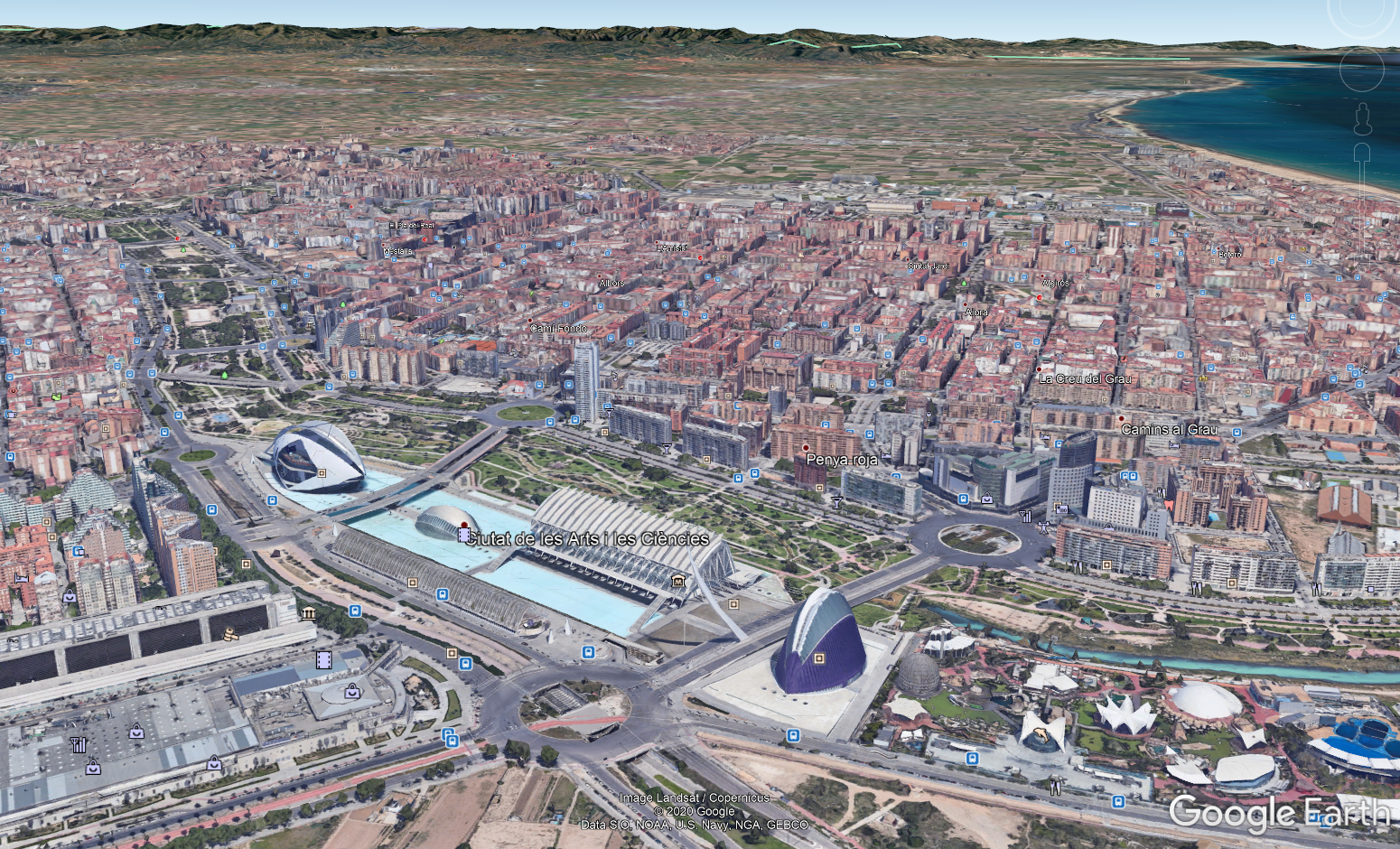
) and it took my breath away.
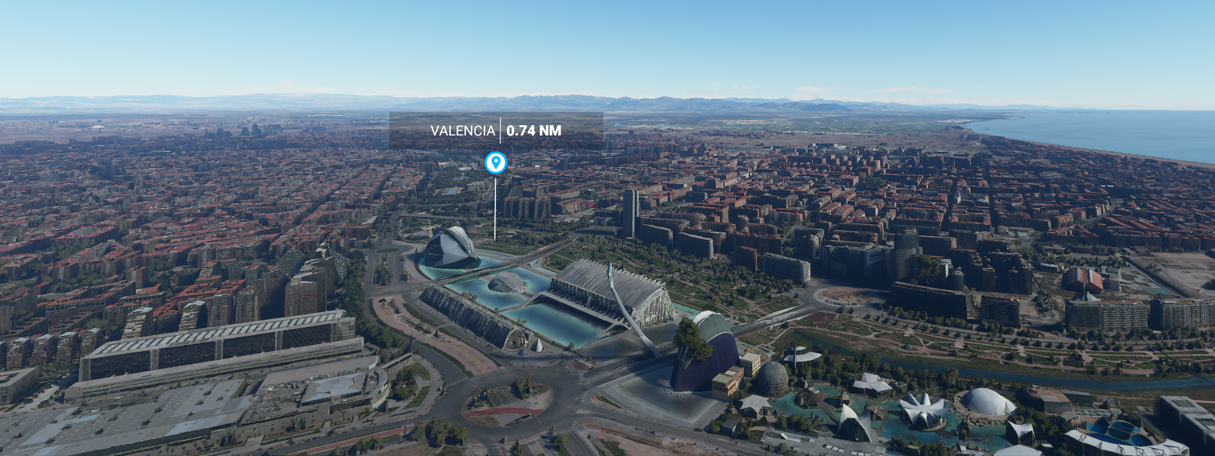
Next will be making my way up to Zurich before heading back south down to Italy.

1 Like

I’m also doing my own world tour in one of the smaller prop planes (SR22). Unlimited fuel set to off (wouldn’t have been much of a challenge otherwise), and airport hopping on a circumnavigation route starting at my nearest main airport (London City). Only a few rules that I’ve set myself, I have to visit every continent in the plane I started with, and must do each leg in sequence (if I crash I have to redo it), full take off and safe (ish) landing. Once I’ve visited an airport in this way I allow myself to fly any plane out of there for a bit of local touring. I’ve just reached Newfoundland having gone up the English coast, into Scotland, across to Iceland, Greenland then Arctic Canada and down. Next I’m heading down the Eastern seaboard to the Caribbean then South America, before heading back up the West coast and across into Russia from Alaska. Australia to New Zealand will be an interesting challenge with the range of the SR22. It gives me a purpose to my simming/gaming rather than just randomly scattering my flights around, and I’ve found as a great by-product, as always, practise improves my skills and I can often land now without bouncing along half the runway !!

2 Likes

Street view is awesome for walking near my destinations and checking out the neighborhood. Super helpful. Makes it easier to know when a cab is going the long way.

Exactly my first impression, too:

The future has arrived!

:wink::+1:t2:

Oh, and be very careful when you start flying for yourself and wondering about „what does that button over there actually do?“, because you might get hooked, and before you know it you‘re already studying actual handbooks and Wikipedia about RNAV, STAR, VOR/DME, FMS, … :joy:

1 Like