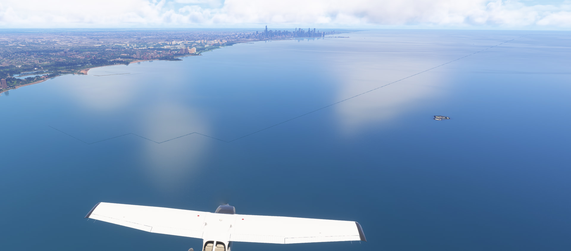
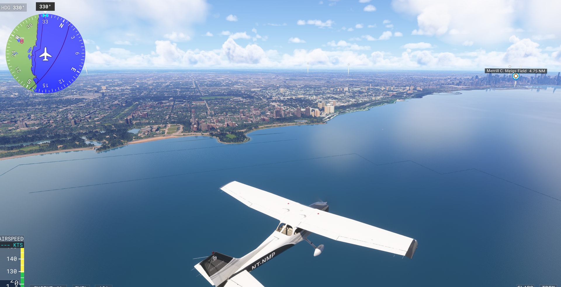
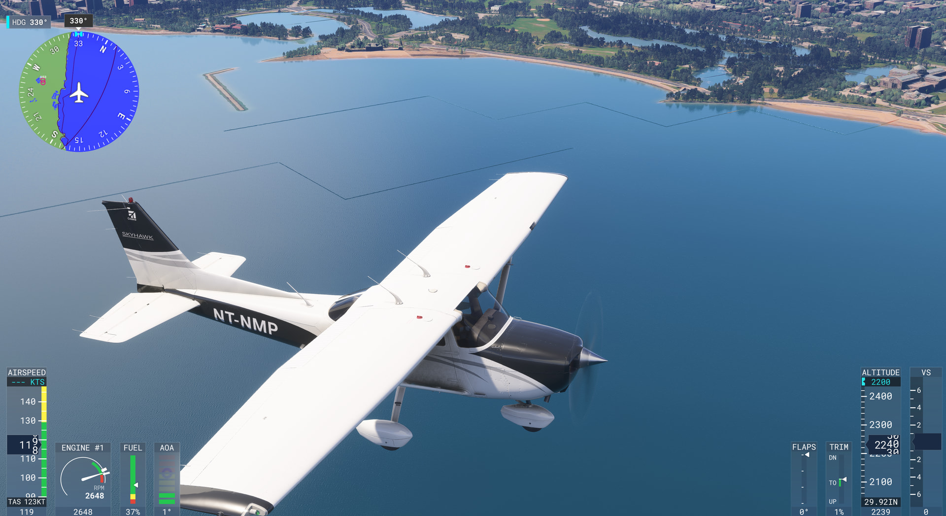
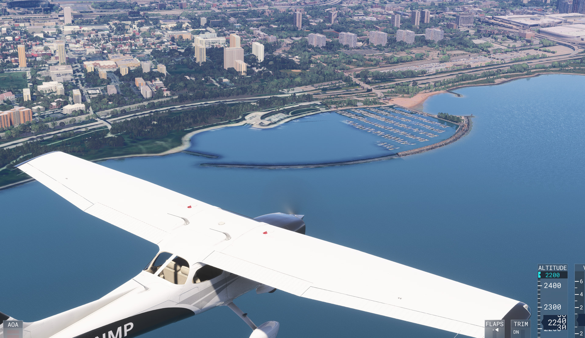
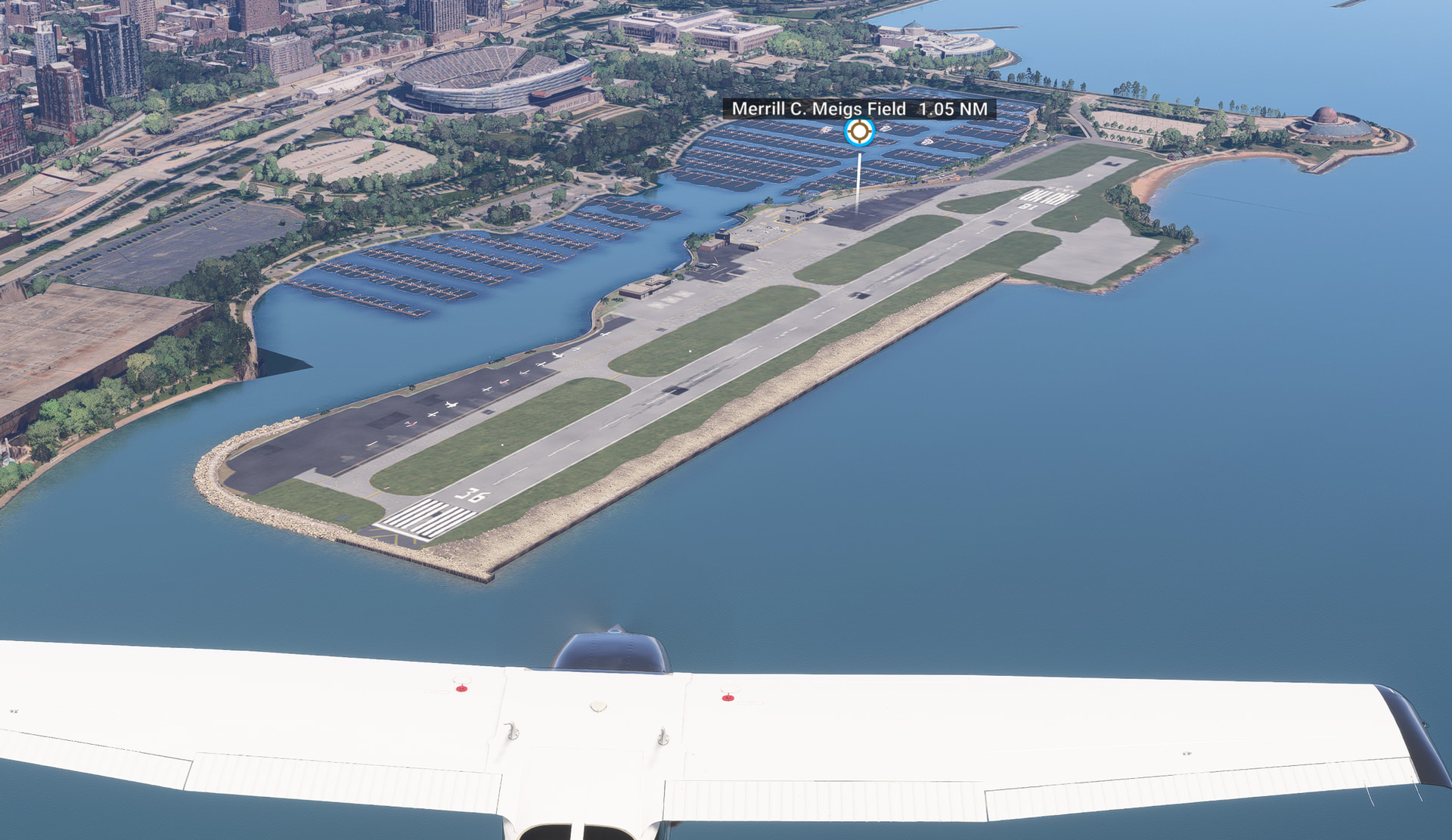
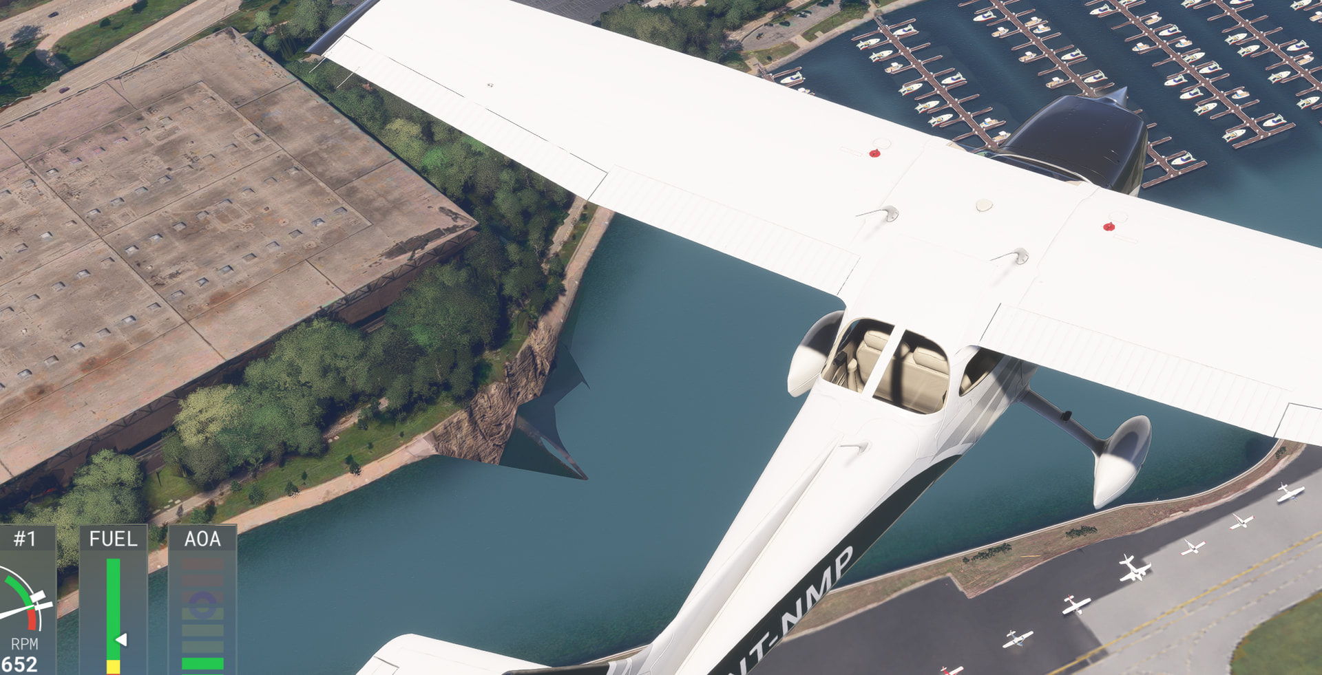
Confirm seeing the same issue, north of Wind Point area.
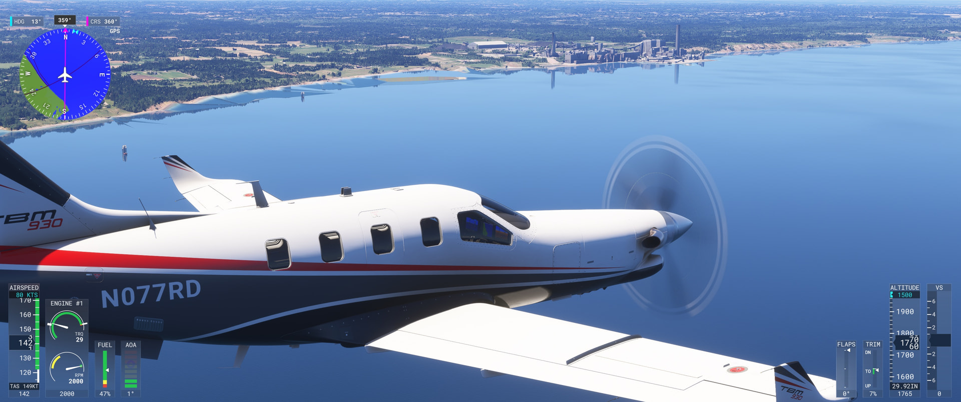
Regards
These lines in the water with Chicago in the background
The City Update is deactivated in My Library on Xbox Marketplace 2024. I can not activate it.
Does anyone has the same Problem?
Have you tried restarting the sim since “buying” the CU?
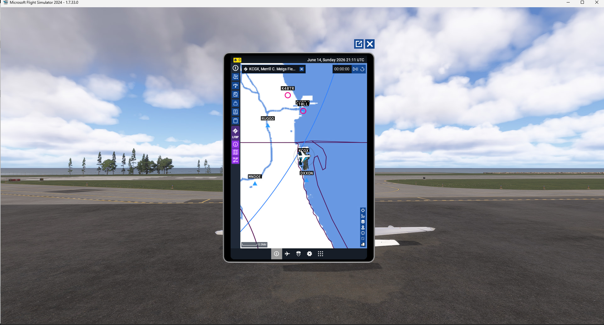
(1) Missing airport Meigs Field in Planner (KCGX- Jorg’s favorite ) 
(2) Milwaukee Mitchel Int Airport - road block
.. You are on 1.7.33; City update runs on 1.7.27 as for the other 15 mio users
planner.microsoft.com does not recognize KCGX
That EFB shows the airport I know; that was not my question.
Whenever you buy or get a free update, always exit the sim and then restart. Things will work then 

You were referring to the online flight planner and you are right, KCGX is not part of the database. Maybe because the online FP does not show closed airport and the EFB FP yes for some closed ones still active in the FS2024 database ?
One can solve KMKE with ini KMKE.
I flew Around MSP / Lake Minnetonka - downtown Minneapolis low and slow (out Hwy 7, over to Molnau Airpark in Waconia, back to KFCM via 212, then back to KMSP via 494. Buildings were very recognizable. Downtown Mpls looks great! Now I need to head from St. Paul down the Mississippi.
Hi! I’m always delighted when new city and world updates come to MSFS. I host livestreamed group flights and, to celebrate City Update 15, we flew 30+ helicopters from Racine to Meigs. Unfortunately, I was constantly beset by performance issues from the northern outskirts of Chicago and I ended up having to quit my own stream, which is heartbreaking for a content creator because it takes a lot of work to set these up!
The problem: gradual degradation in frames as we re-entered TIN territory in northern Chicago; ctrl-shift-windows-b would initially help to reset the graphics; GPU utilisation stuck at 99%; GPU unable to render enough frames for the stream.
Desired state: frame rate is preserved through use of OLOD and TLOD; there is no need to reset graphics en route; GPU remains in my target band of 60 to 80% utilisation; GPU is able to maintain video encoding.
It may be that my situation in CU15 is actually the exacerbation of another problem in multiplayer. I understand other streamers are having issues in recent times - but I haven’t found any useful posts here in the forums yet.
Advice and help is much appreciated.
Today I loaded in and looked at the map where Madison is and I didn’t see the blurry area I saw the other day but there was autogen right next to the airport. I set out from the northernmost airstrip in the Milwaukee PG and went to downtown and then over to Madison and flew around there a bit and then landed at KMSN. It all looked really very good to me. I’m going to go back to Chicago and see if if maybe it is better than the first day I saw it.
I’m really pleased that so many of these areas pass my ‘water tower test’. To me its a sign of good PG when a water tower has clear and independent legs and it looks round from a distance. I despise 5 sided ‘round’ water towers with flat, non see through legs.
See AirRhodessa thread :
and its website dedicated to photogrammetry :
This is a great link, thanks 
Hi,
Thanks for that! Appreciated.
Do you think the area around Rate Field has been skipped in this update as the images are 10 years old.
I’ll ask on the other thread too…
Working Tittle (as creators) has the answers for the FP; when I create a plan in EFB you cannot save on the web because airport is non existing. Please forward to WT 
very exciting surprise & a mega boost to realism for areas I know well. Tho, curious when the imagery was scanned as it’s at least 5 years old. which lends me to ask, when will new 3d data be implemented?
Somebody mentioned that one of the baseball fields still had a name on it that was changed 6 years ago. So you seem to be right, these maps are old and not current.
It was changed 10 years ago. But according to a map of the CU15 update in the link @johnwhite92 shared, that little area around Rate Field was carved out of the larger update.