As soon as you show me your screenshots of clouds in SU6 that I can’t reproduced in SU10  . (Just kidding), but seriously, there has always been transitions at certain hours because it’s not possible for there to not be. Perhaps it was extended over a longer period of time back then, but there was definitely transitions. And I’m not even counting the transitions to the wrong forecast hours or to corrupted data (people who fly in Europe may not have experienced this as much due to the hours it happened)
How about this, explain to me how it’s even possible to go from the final hour of the previous forecast data to the first hour of the new forecast data (which includes live data from Meteoblue btw) without there being a transition (some sort of blending). We’re talking about suddenly jumping to new data that is suddenly 6 or even 12 hours more recent AND contains additional data (live data from Meteoblue). All that smooth flowing weather that you and I both really want only happens within the 6 or 12 hour forecast data, not between sets of forecast data. Going from the final hour of the last set of data to the first hour of the new set of data is really not much different than a sudden METAR change. The reason the weather CAN BE smooth within the forecast data is because the sim knows what the weather is supposed to be in an hour and Meteoblue generated all that data at once using their model, so it smoothly flows from hour to hour within the set of forecast data. That data doesn’t smoothly transition into the next 6 or 12 hour batch of data because that new batch of data was generated 6 or 12 hours later. If the final hour of the last batch of forecast data calls for overcast skies over Los Angeles and hour one of the new batch of forecast data calls for the clouds to actually be 5 miles away instead and it be clear skies over Los Angeles (because things can change in that time), how could MSFS smoothly transition to that? All that it can do is simultaneously fade-out the overcast skies and fade-in the clear skies, like with METAR. They can either do it quickly (more ‘accurate’ data sooner, but jarring) or they can do it slowly (less accurate, but a title less jarring). Either way, it won’t be smoothly flowing like the hours prior.
I made similar bug reports. But it was based on a fundamental misunderstanding of how the system was supposed to work, and of course everything was incredibly buggy back then… Our only data source is the Meteoblue Nowcast map which includes live data from METAR etc and their most up to date model data, while the sim has forecast data that can be 6 or 12 hours old. But your comment itself demonstrates a very important problem. Asobo didn’t properly explain how the system was SUPPOSED to work and thus people kept complaining that the weather didn’t match sources that it wasn’t supposed to match, and Asobo started making changes to try to please the people complaining. This is why it’s very frustrating to see people complaining about the clouds not matching METAR, including people who claim they don’t want METAR to be used… It makes no sense to me.
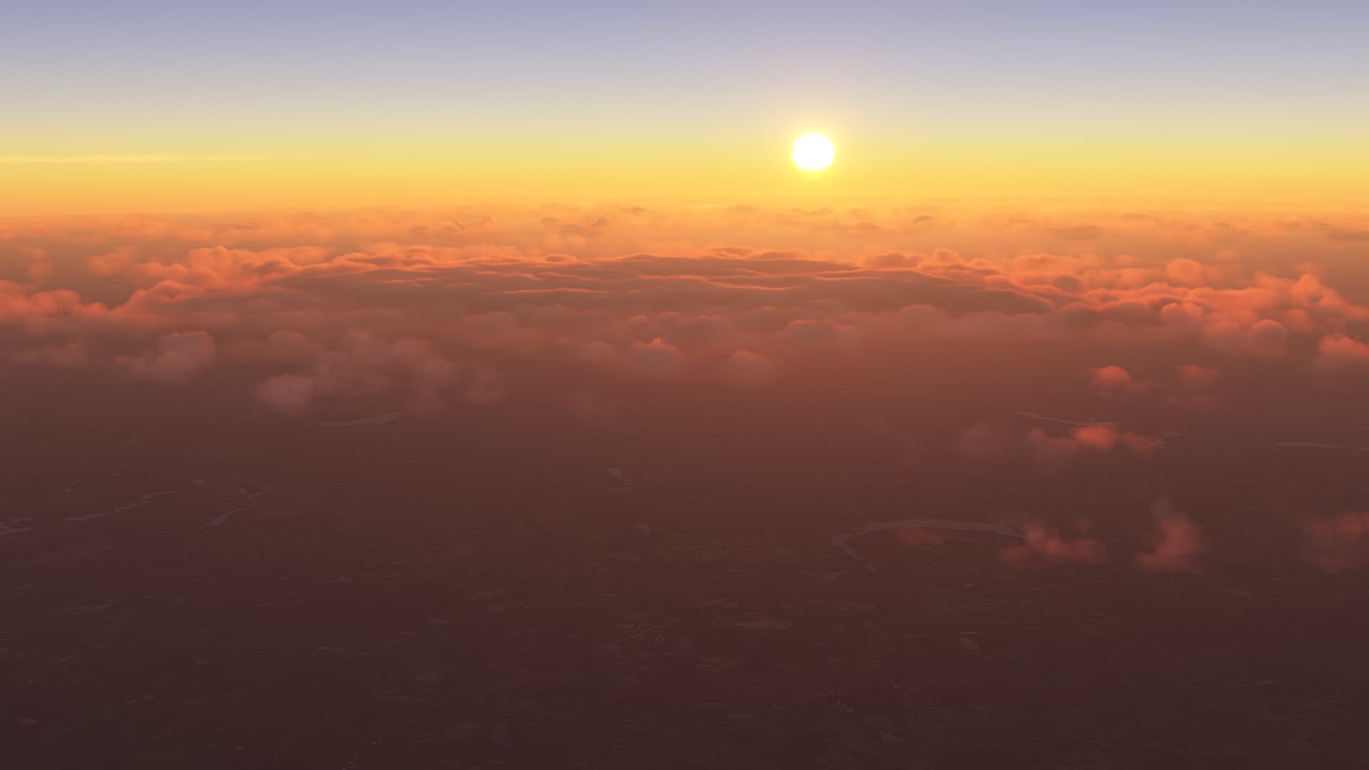
Agreed. The clouds have been consistently downgraded since release… Until SU10. This is the first update where the weather has been significantly upgraded.
If you’re in Europe or only fly during those hours, that could explain why you didn’t see all the bugs before SU7. For quite a while the forecast data was only injected properly during the hours that Europeans were awake. In America, the weather was often bugged out during the day because wrong or corrupted forecast data was being injected while Europeans were sleeping, and Asobo didn’t catch it for a long time because they only tested it during the day (in France).
True story: SU10 is the first time the clouds has ever reliably matched live conditions in Southern California during the day, at least in my tests. Before SU7, incorrect or corrupted forecast data was received for the area. Between SU7 and SU9, the clouds weren’t generated properly. Now Southern California has “proper” forecast data being injected and the cloud generation matches pretty close, with no interference from METAR. It’s to the point where even the microclimates in the mountains are pretty close to accurate. That’s very impressive to me.