trying out some flying iron
oh that puppy sounds sweet starting up. It’s almost a shame to close the canopy
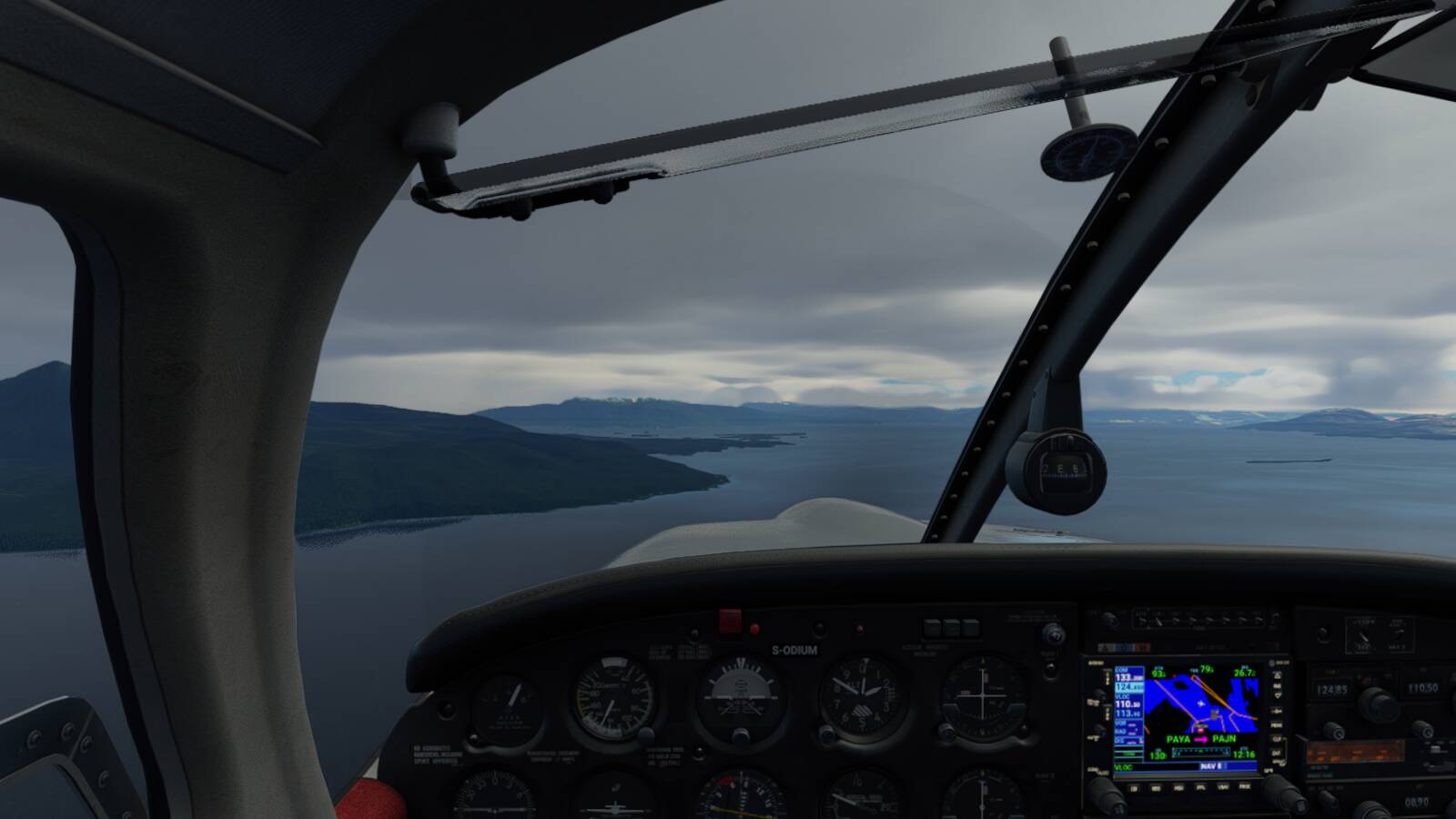
My canopy is opened 97% of the time !! Plus, I fly in VR and love to peak my head outside the cockpit from time to time ![]()
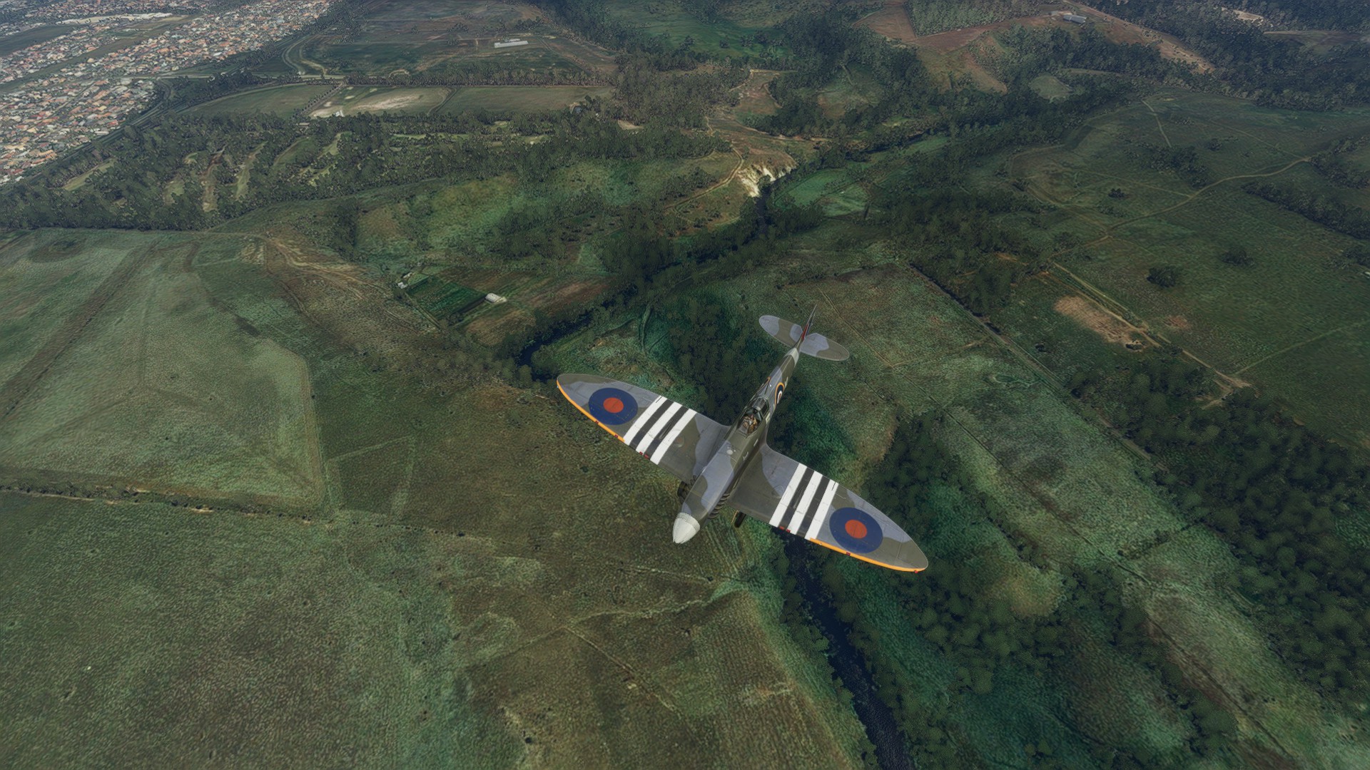
a vid of my first flight around scenic Queenstown, NZ. Just familiarizing with the plane, crashed on landing and should have taken out the high tension power lines while closing the canopy. Or rather they should have taken me out.
This thing is much harder to take off than I expected (yes that is a ‘yip’ edit)
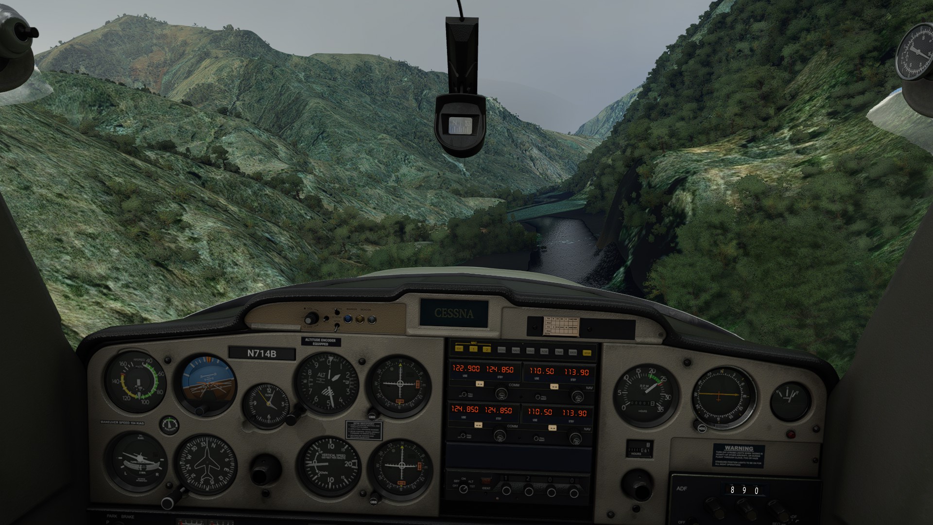
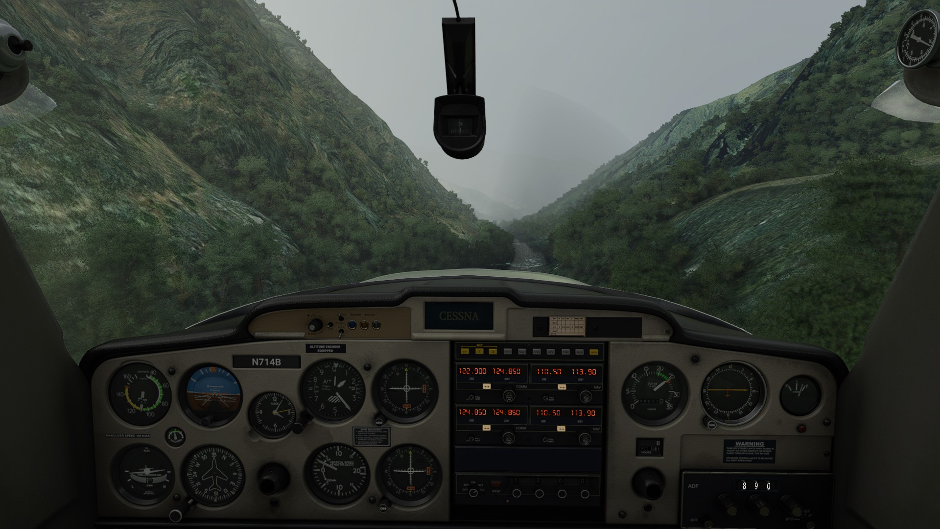
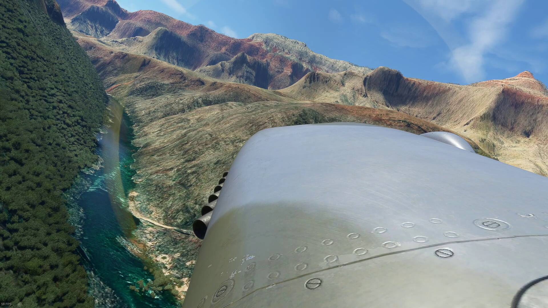
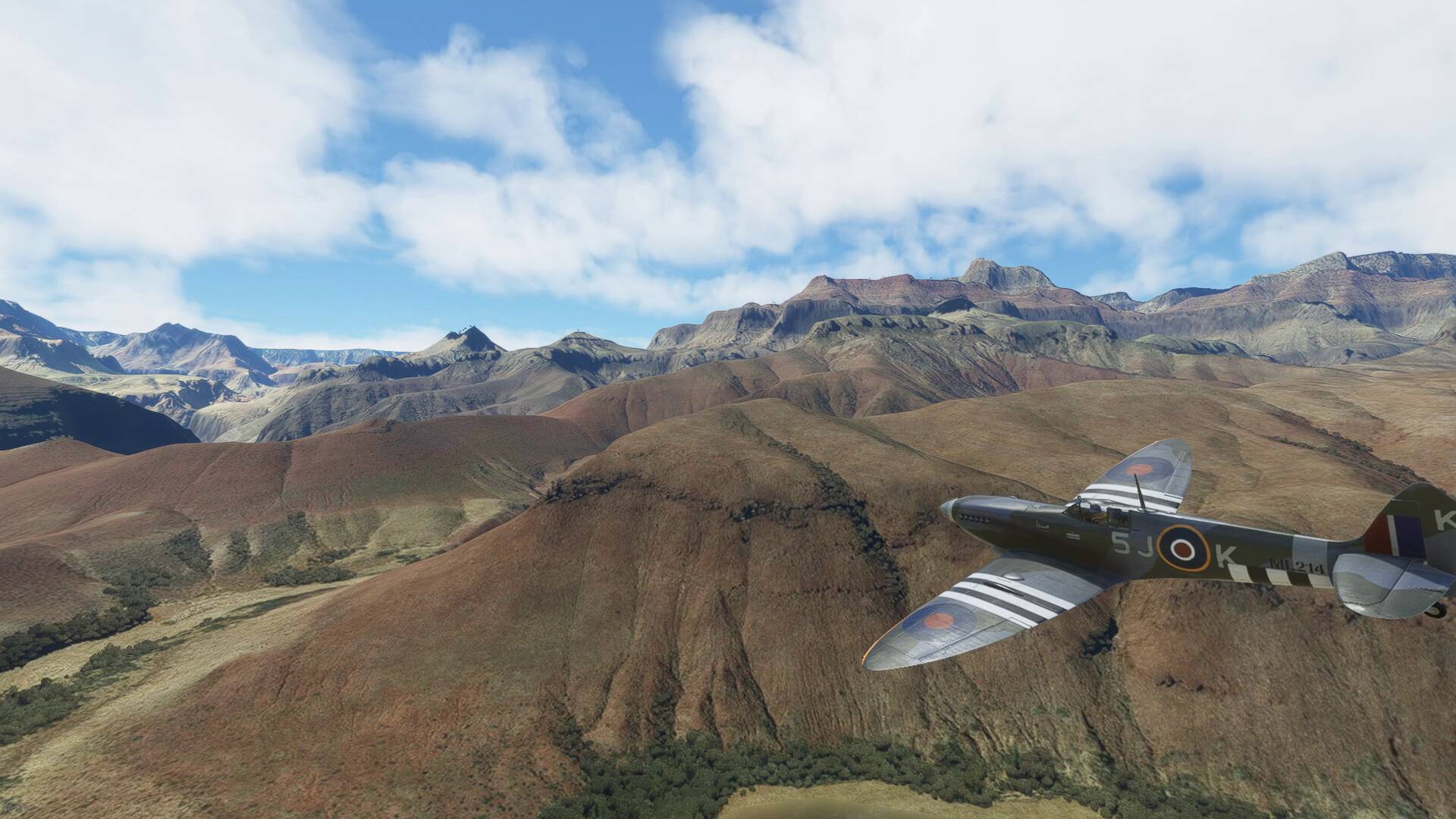
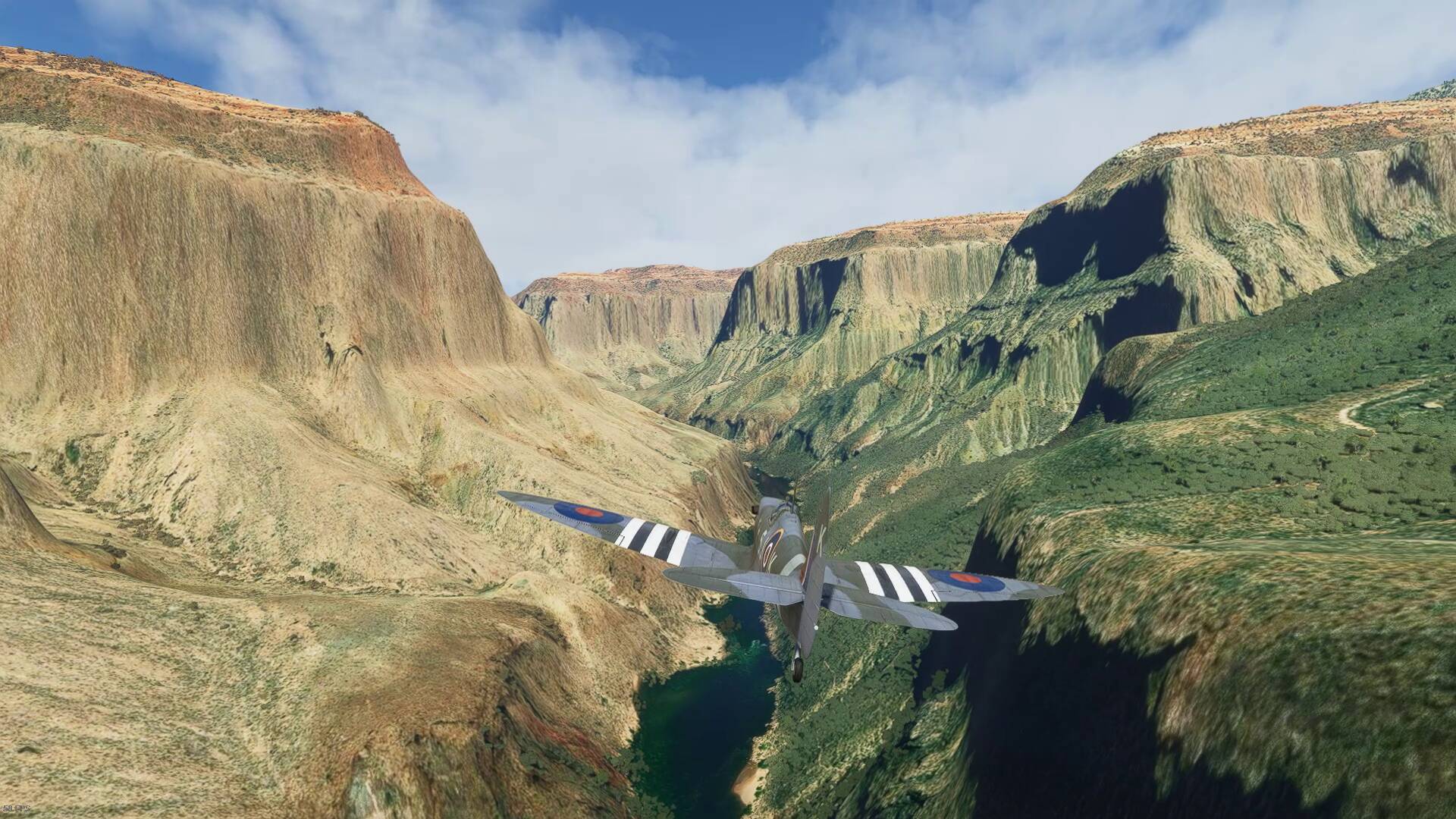
I see a Grand Canyon run in my future
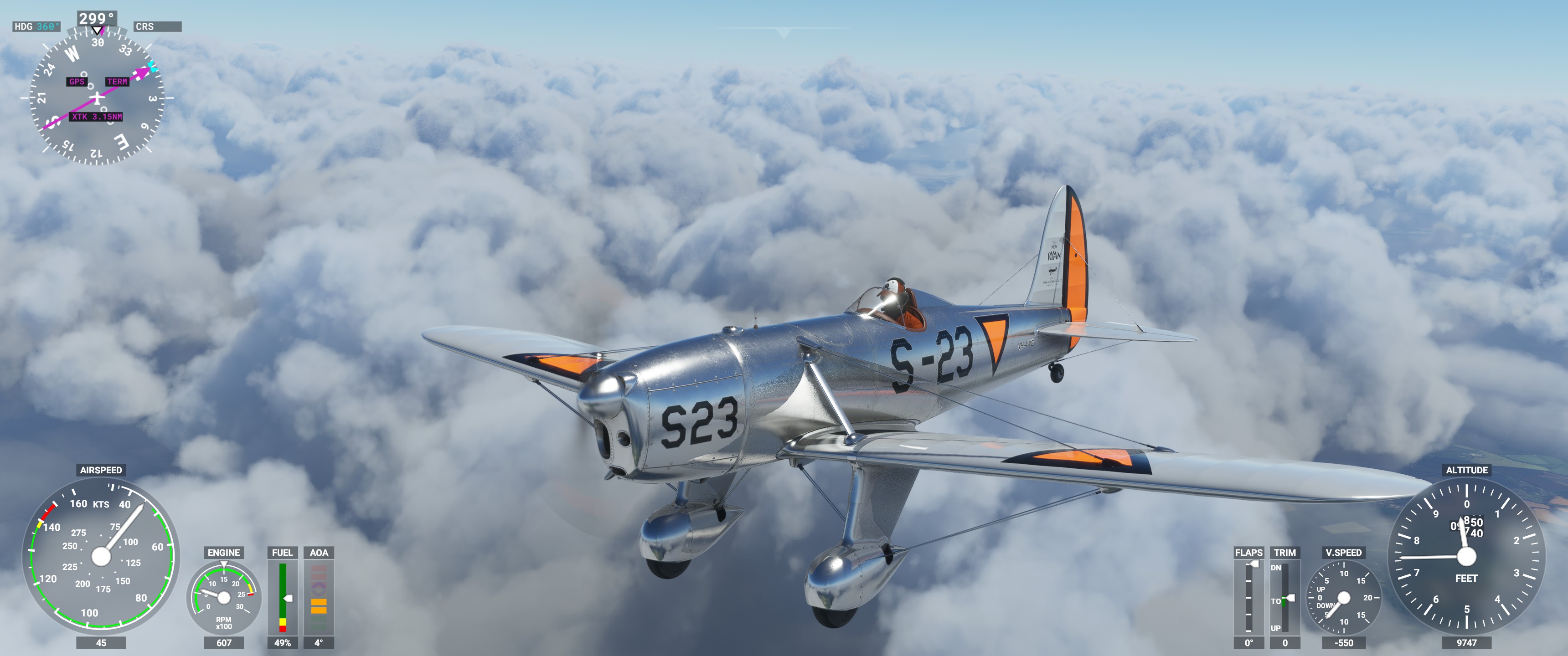
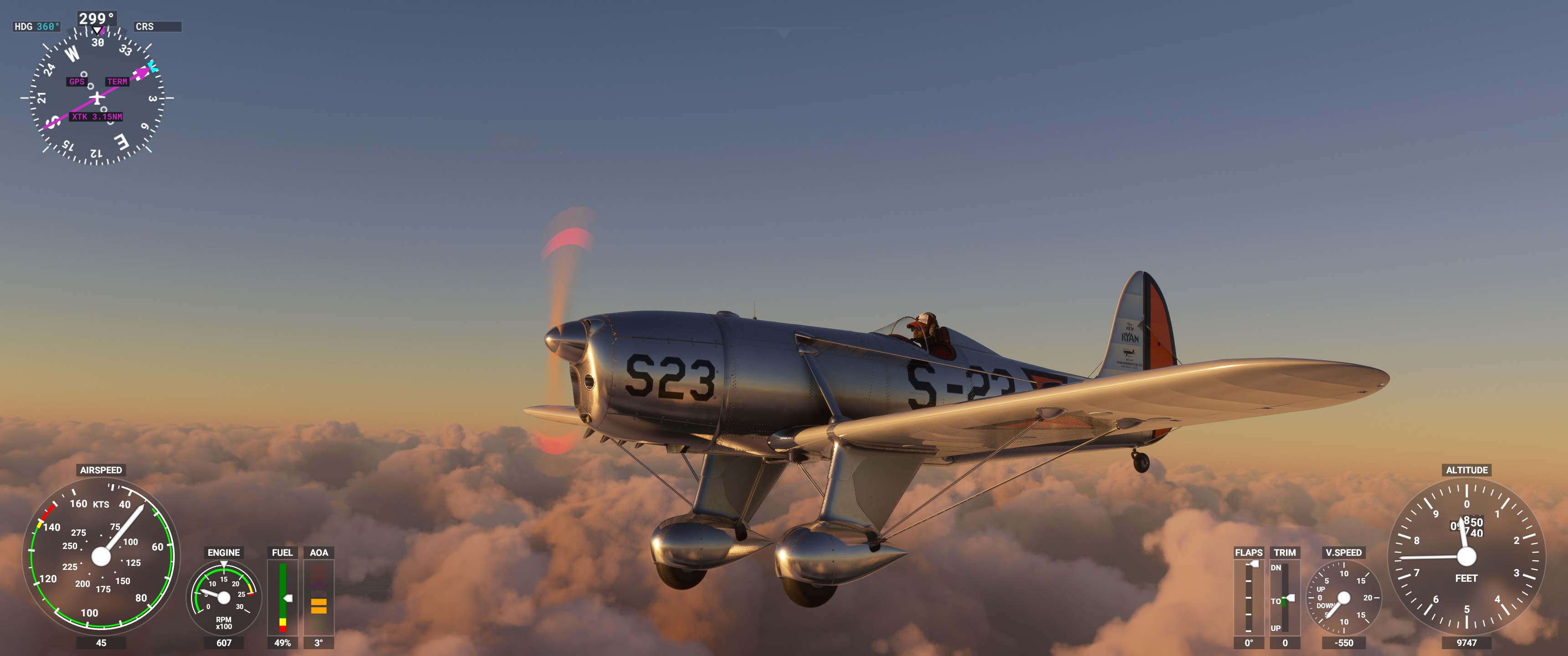
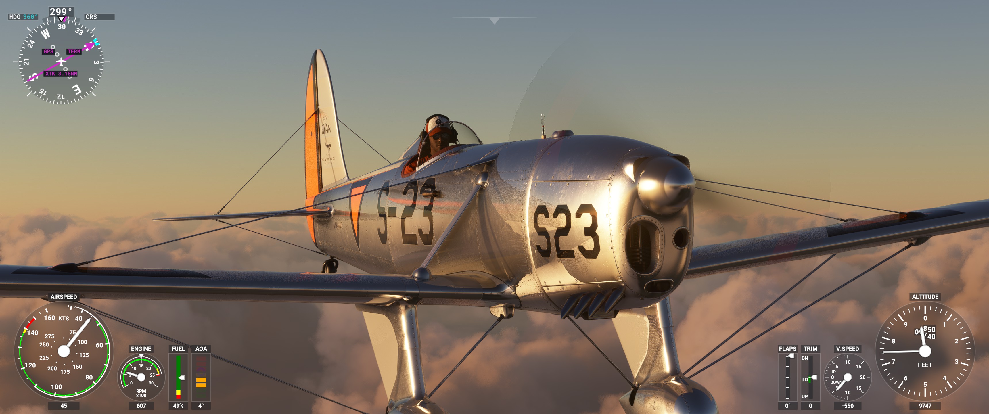
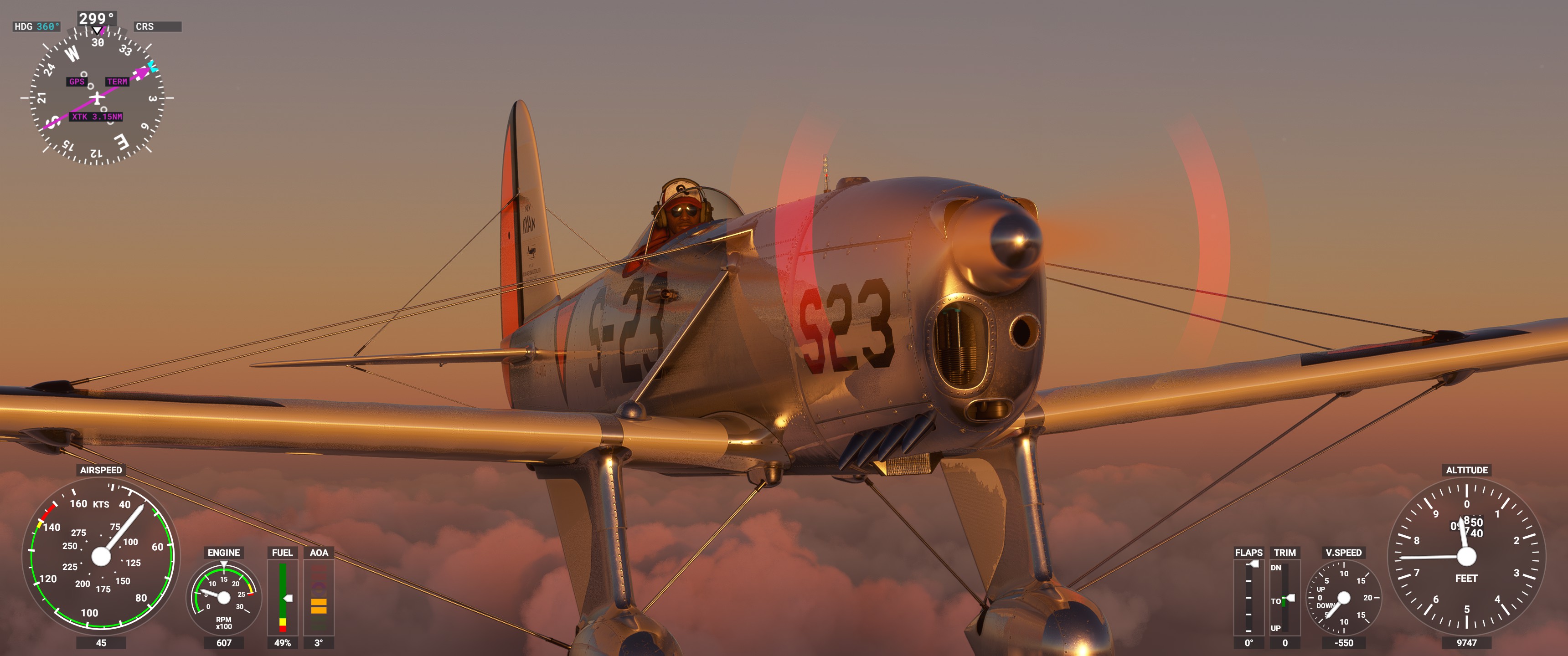
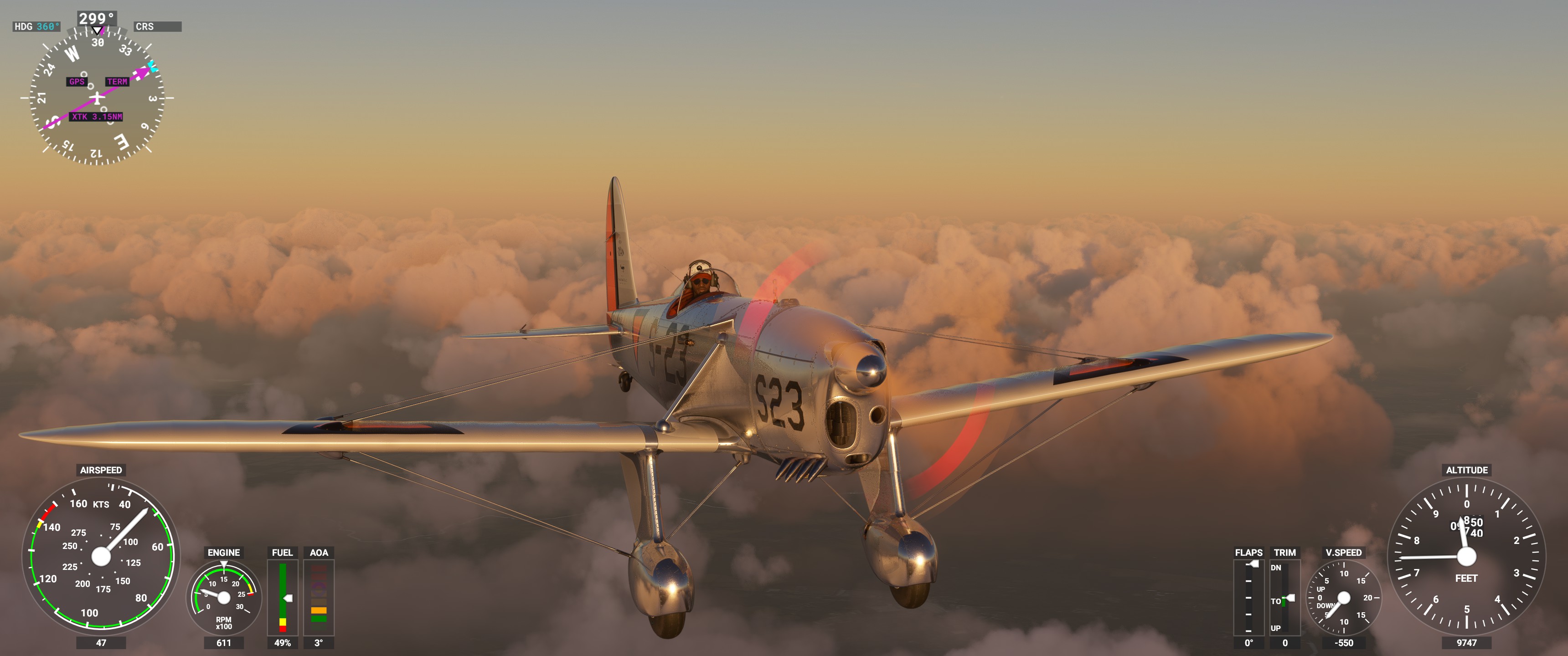
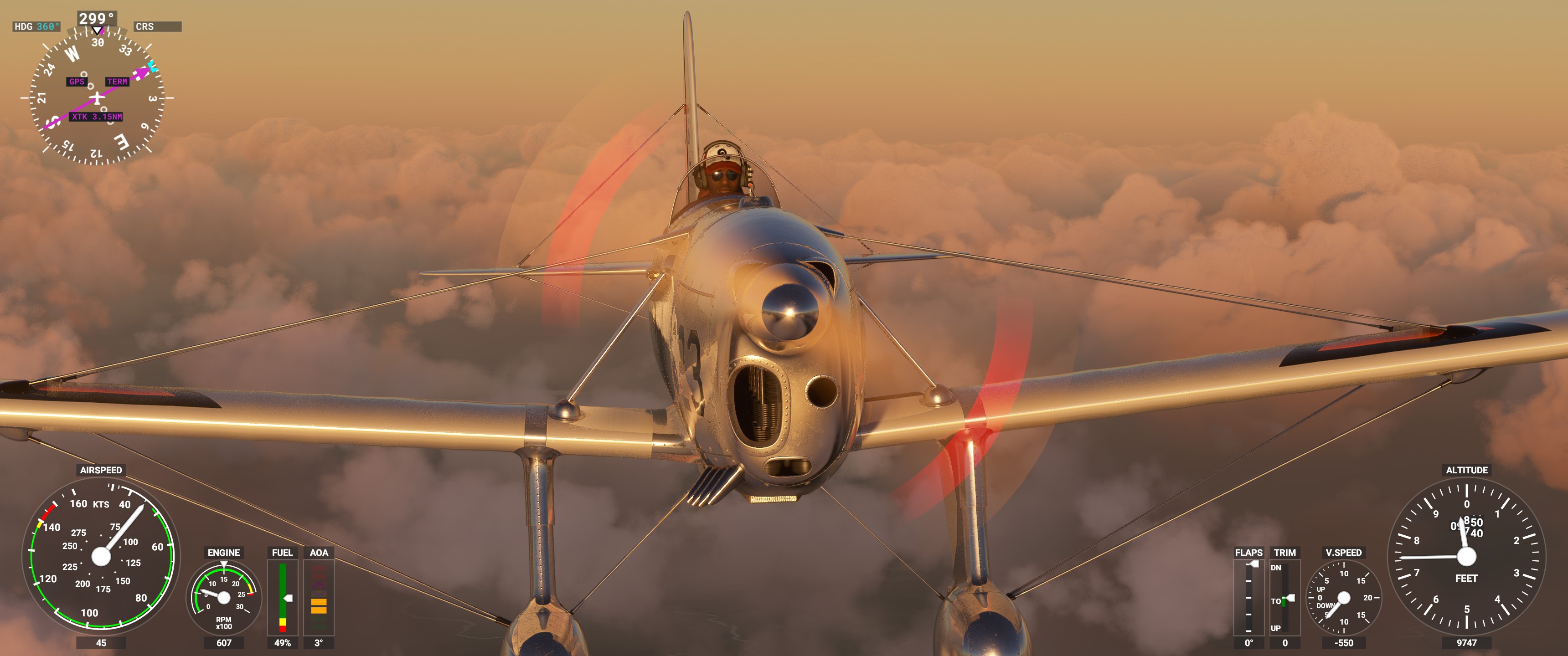
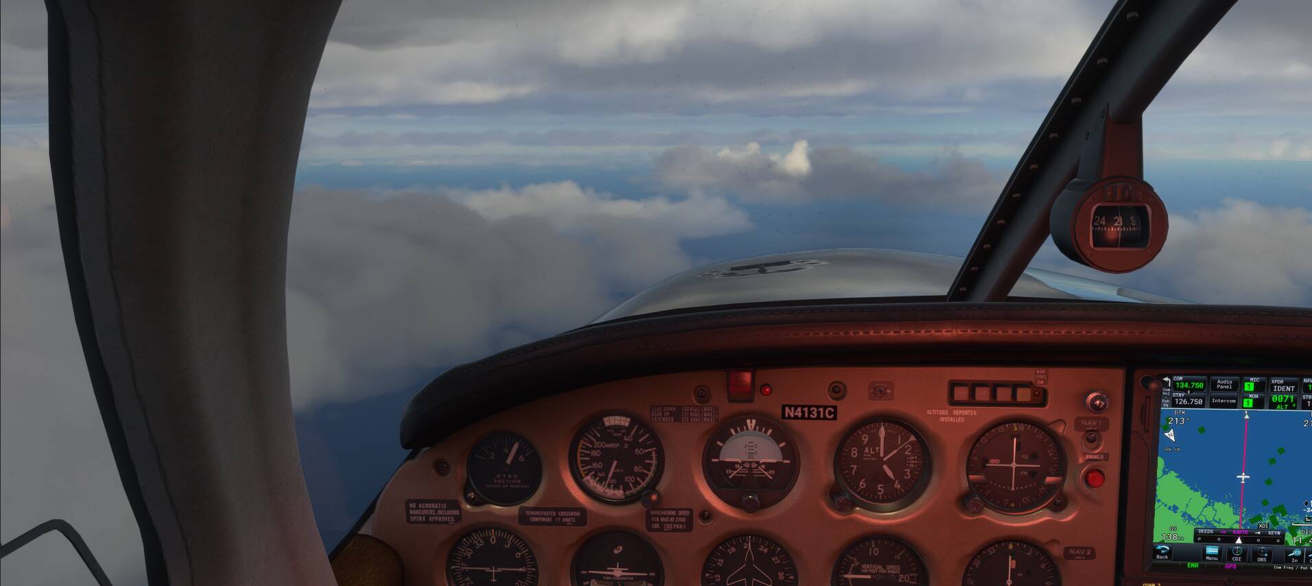
After reading this in a Pilot Magazine Flight Test on the Ryan…
" Later that evening Jean explains that the ST-A is fitted with what he describes as a “salesman’s static”. Basically, the position of the static port is such that it under-reads at the slow end of the speed spectrum (and thus the aircraft seems to stall at a very low speed) but overreads at high speed. Consequently the indicated airspeeds are both slower and faster than they actually are?a salesman’s static indeed!" .
We decided to take the Ryan to a safe altitude and explore it’s Stall characteristics and these Screens were taken seconds before the Port Wing drops away. ( Check Speedo ).
High above the Clouds flying over Wiltshire in the Sad Old Dis United Kingdom.
Just throwing this out there, but I’m totally the type of friend that if you were flying with VR and stood up from your chair, you’d hit your head on a book that I would be holding over your head to mimic you bumping your head on the canopy! lol You’ve got to close that thing man! ha ha
We’re certain that someone on the Forum suggested setting up an electric fan in front of your Monitor to replicate Slipstream and blow Wind in your face.
We’re enjoying the Breeze as i write this. Cool ! (literally).
ps. It’s 9-30 pm and 18 centigrade in the UK.
Never!!! Hahaha ![]()
These are brilliant tips and thanks. I have been stuck on 495 airports and after about 10 short hops thins evening it moved to 497. Looks like i am going to have to turm real weather off as well.
All this explains while after landing at over 900 airports its not recording nearly 50% of them.
Thanks to you @Zathrus63 Now only the Decathlon Acheievment to do
Here are some tips i found for Jack of All Planes
https://forums.flightsimulator.com/t/jack-of-all-planes-achievement/370631
everyone needs a Penny https://www.youtube-nocookie.com/embed/zx4KoZV9fBw
You can Smell that Alpine air,… Nice Movie. Thanks !
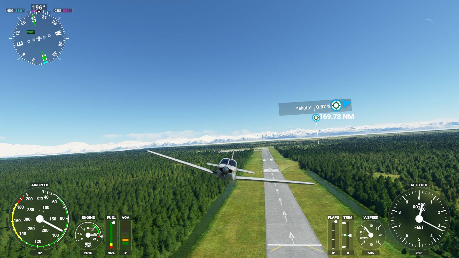
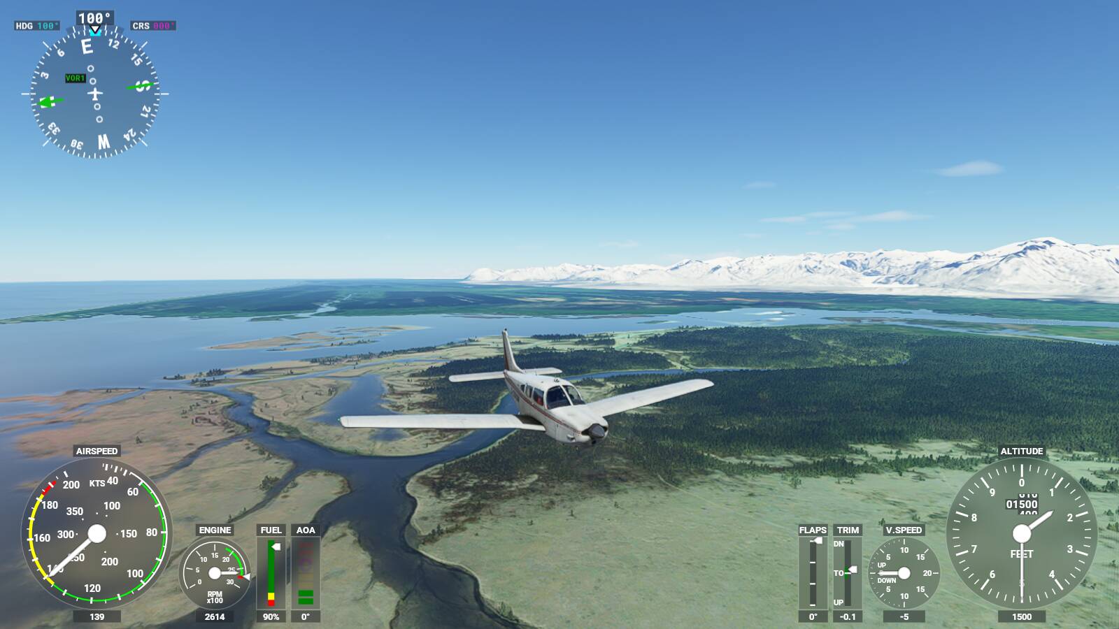
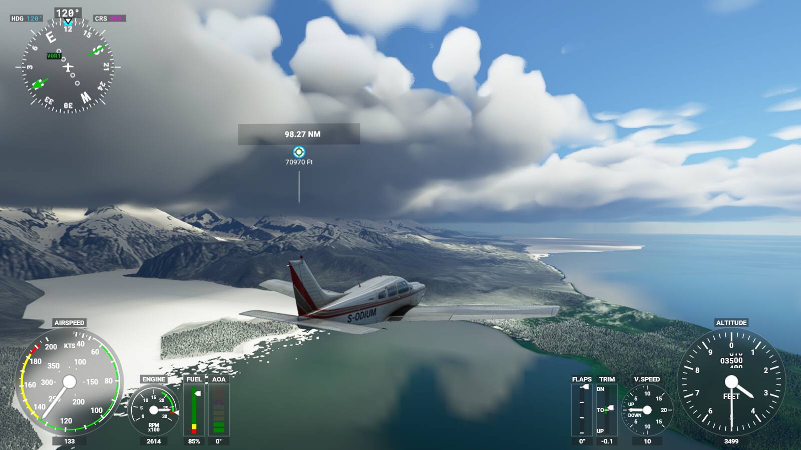
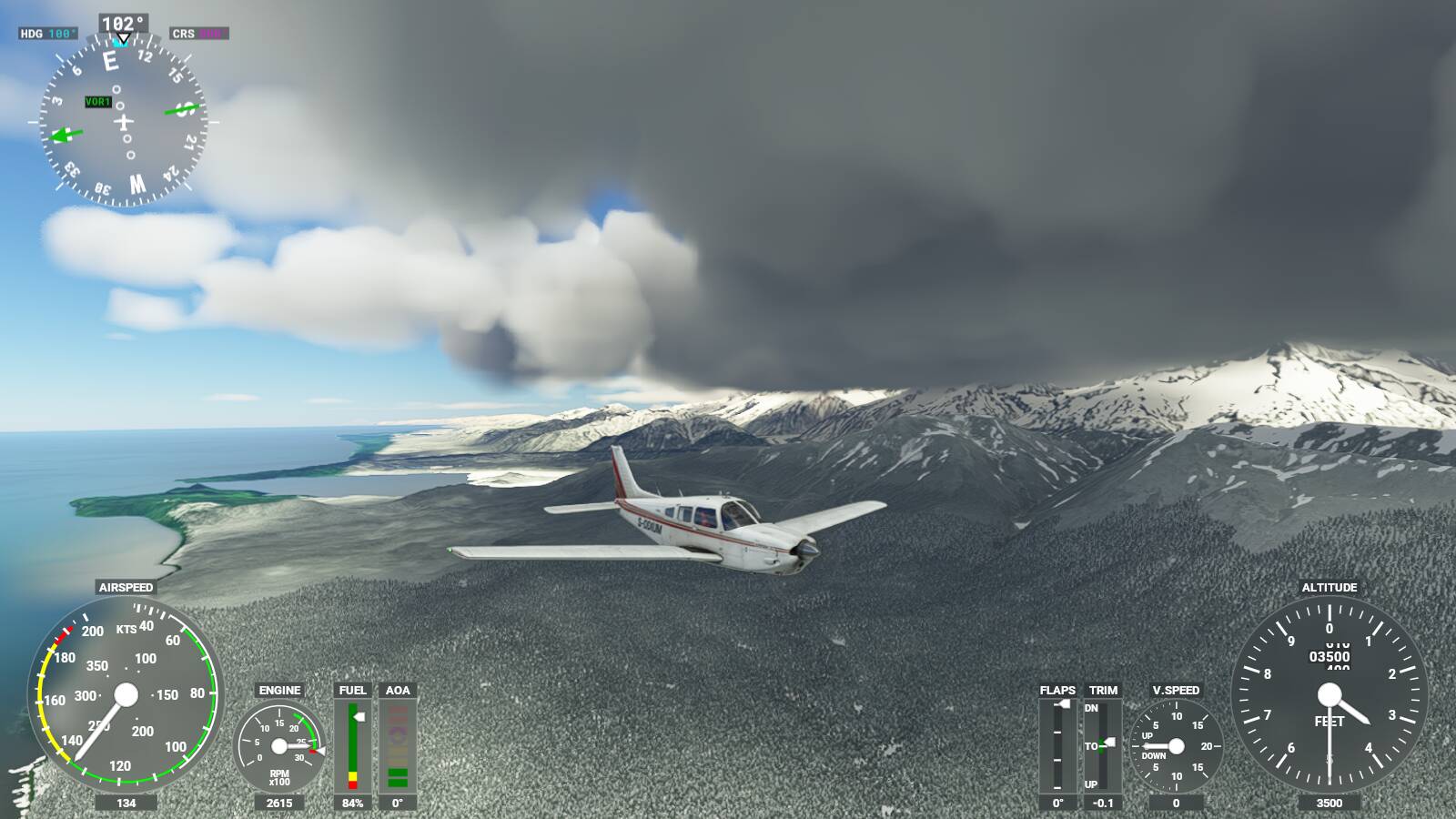
I’m taking a spontaneous trip around the world in the Turbo Arrow. I did a few test flights in and out of my local airport before heading down the eastern seaboard of the US. Currently on my way to the Florida Keys before hopping down to the Caribbean and further into South America. I don’t have a firm plan, just where ever is within range. Not such a good day to go to the Keys, though.
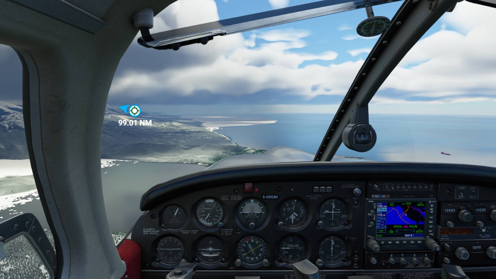
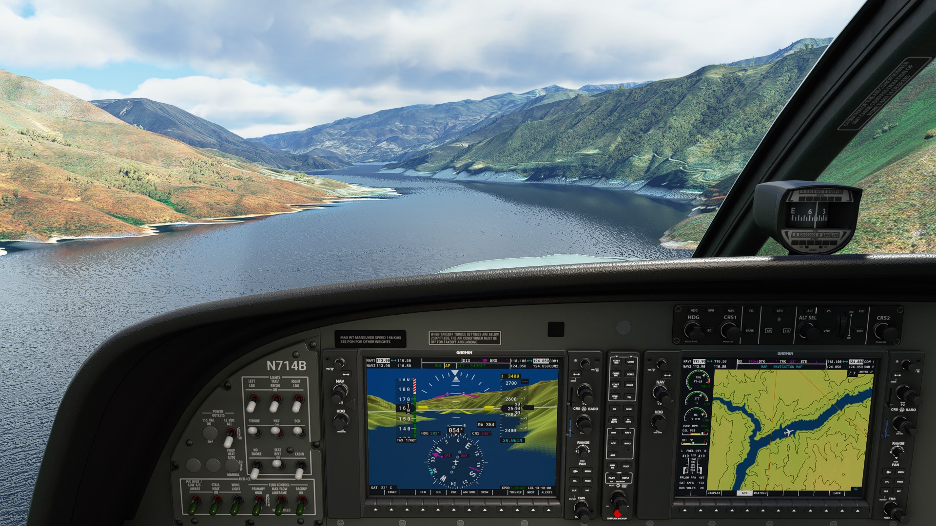
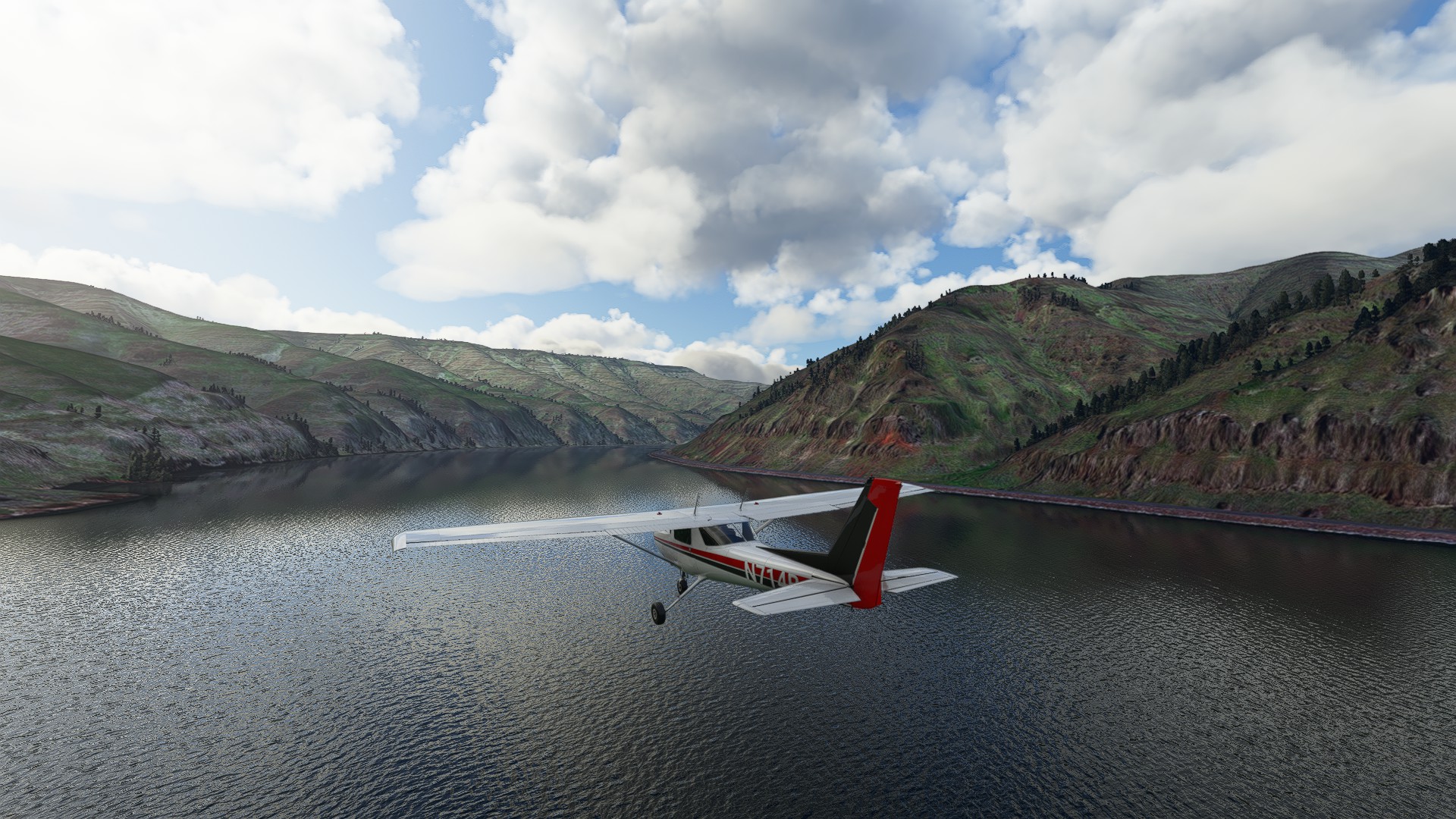
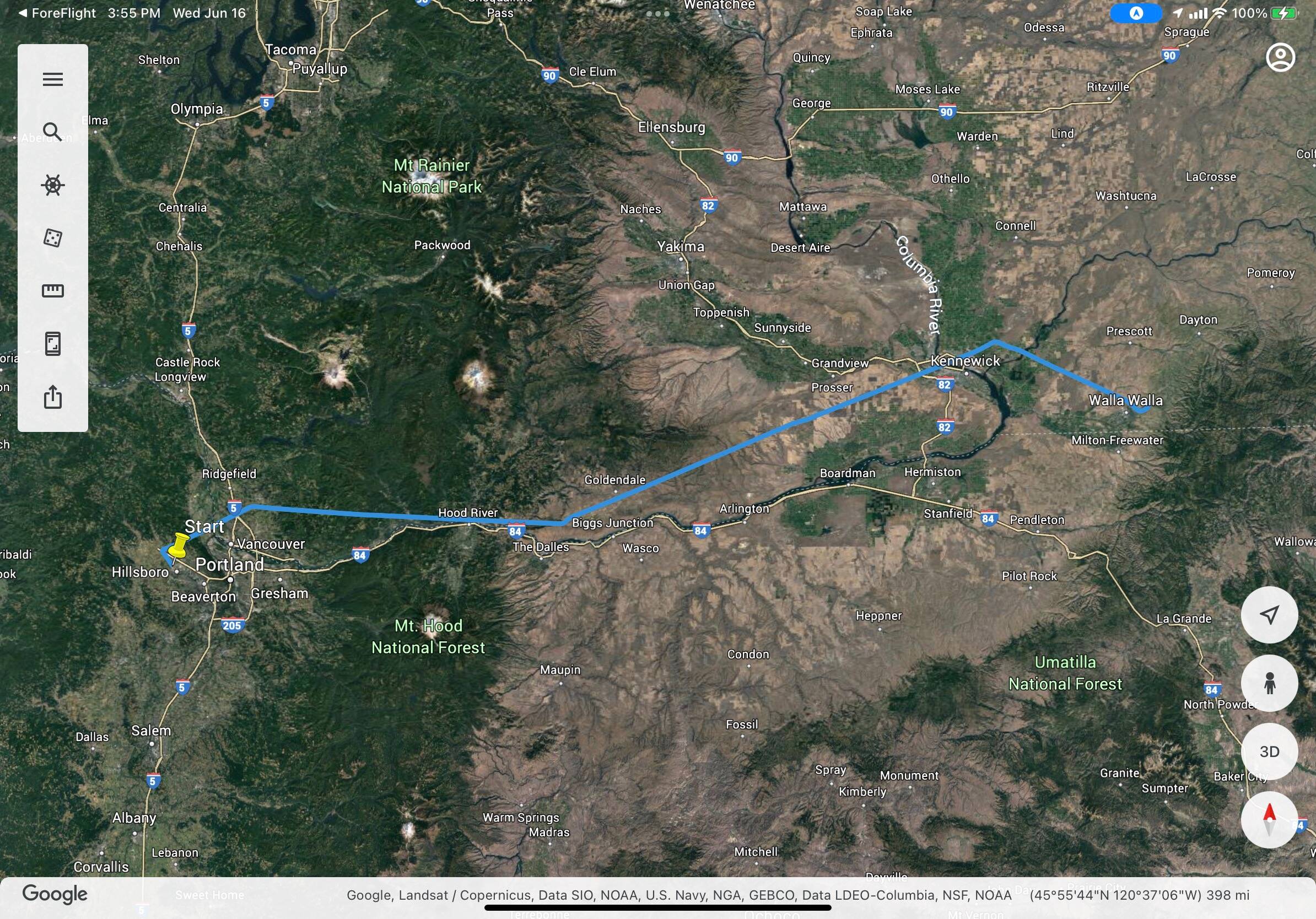
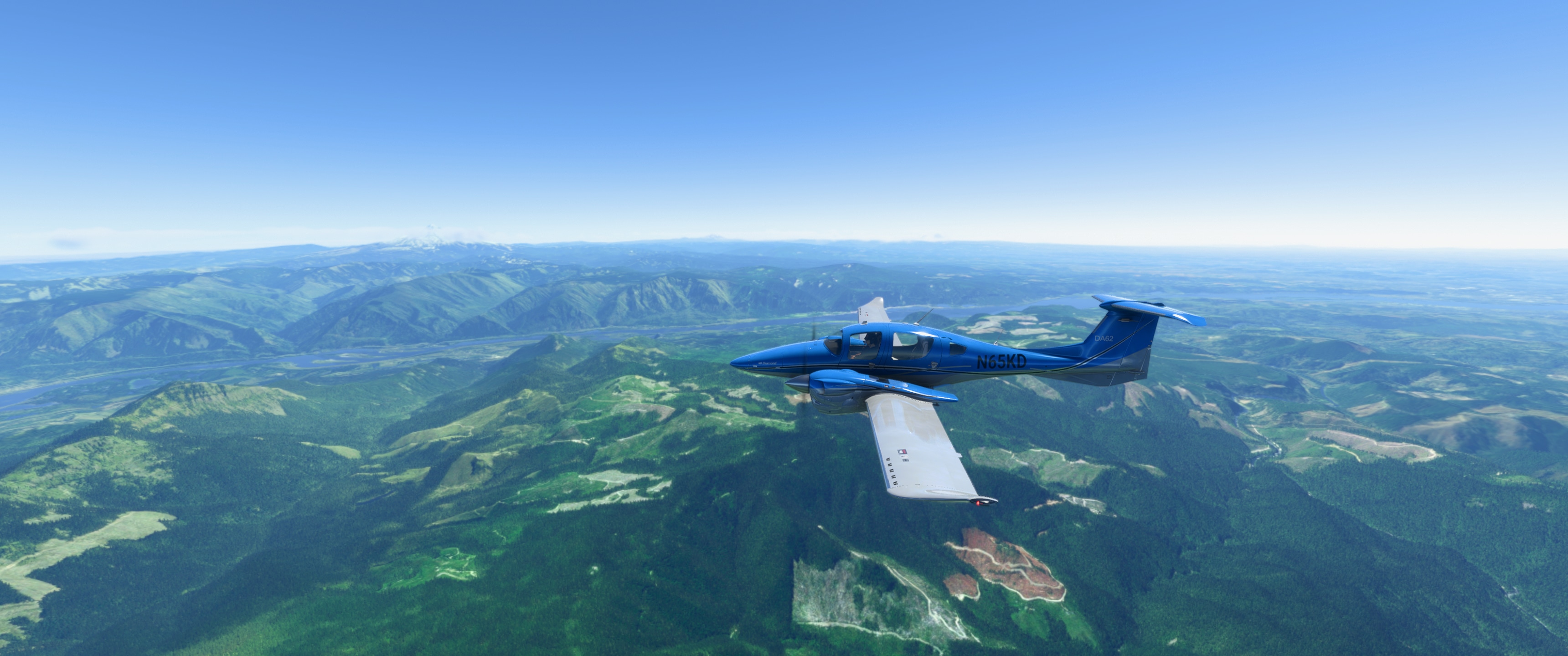
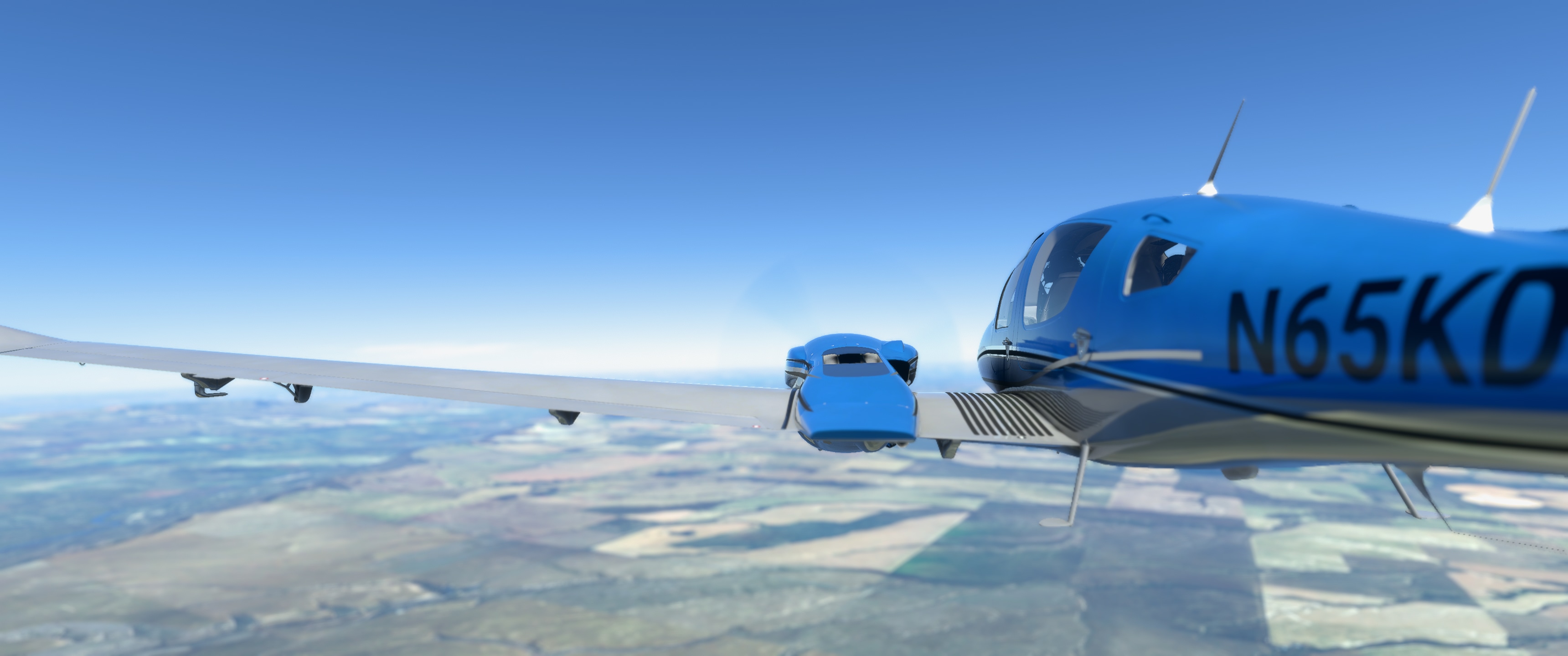
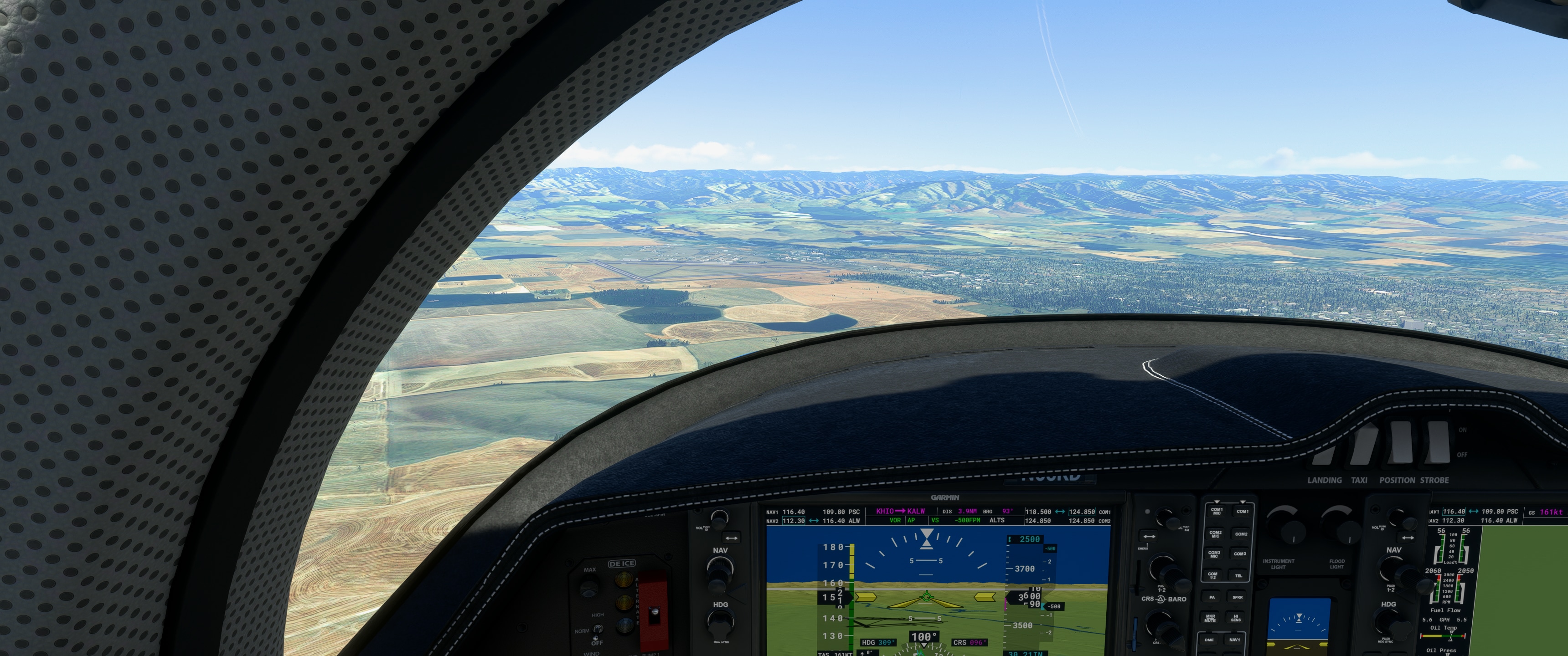
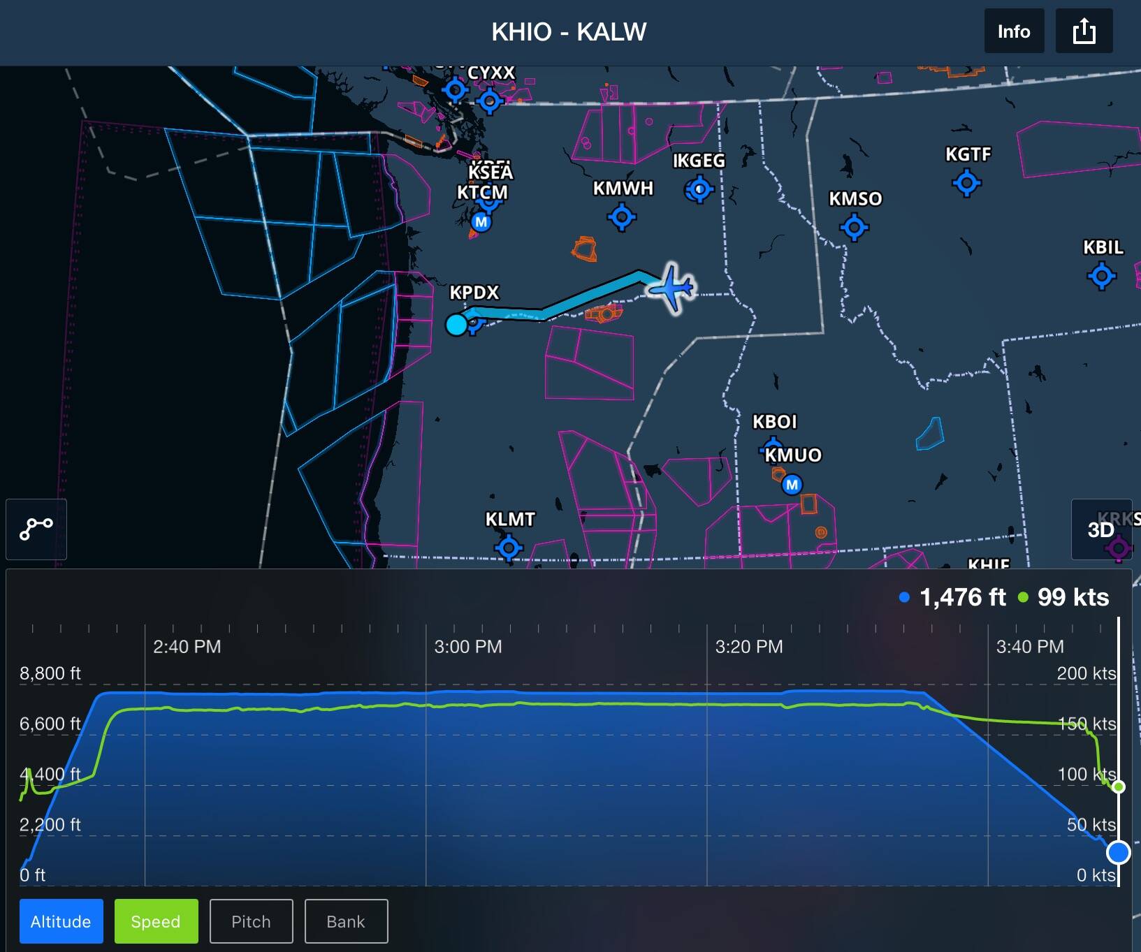
Did another VOR practice, in a plane with modern avionics (DA62 with DA62X mod). Portland-Hillsboro (KHIO) to Walla Walla (KALW), via BTG LTJ PSC.
This is a relatively straightforward route that mostly follows the Columbia River, meaning you have a VFR fallback for navigation if weather is good.
After takeoff going north from Hillsboro I climbed up to 8500 MSL to sail over the KPDX class C airspace going to BTG. On my way I dialed in the frequency for LTJ on NAV2, and set up the heading bugs to help confirm where everything was.
At BTG I switched over to NAV2, centered, and re-activated nav mode; everything went well. But at LTJ, I found that I couldn’t receive the signal from PSC yet – so I looked up the proper course on the VFR sectional and rode the radial out of LTJ until PSC was close enough to come in clear. (It’s important to stay north of the river for this segment, because there’s a large military restricted zone down on the Oregon side!)
Hit PSC and headed down towards ALW, and set in a 500 fpm descent that wasn’t quite enough to reach pattern height, so I sped up the descent a bit toward the end. ![]()
Tower assigned me landing on runway 20 with left pattern, and everything came together pretty well. Parked, and engines off. Another successful navigation! ![]()
Flew the A320 FBW for a test of the CAT3 landing at SEATAC
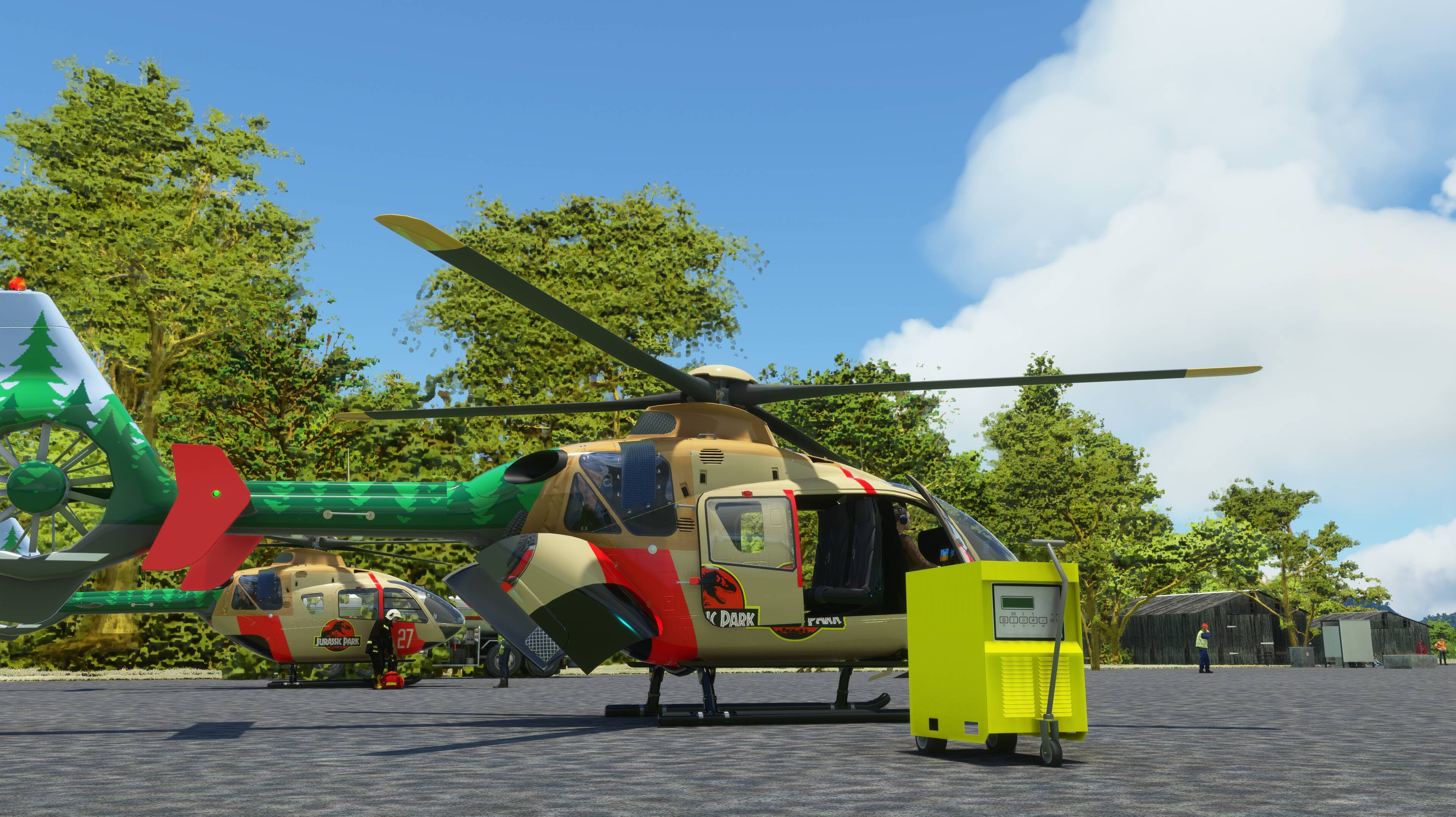
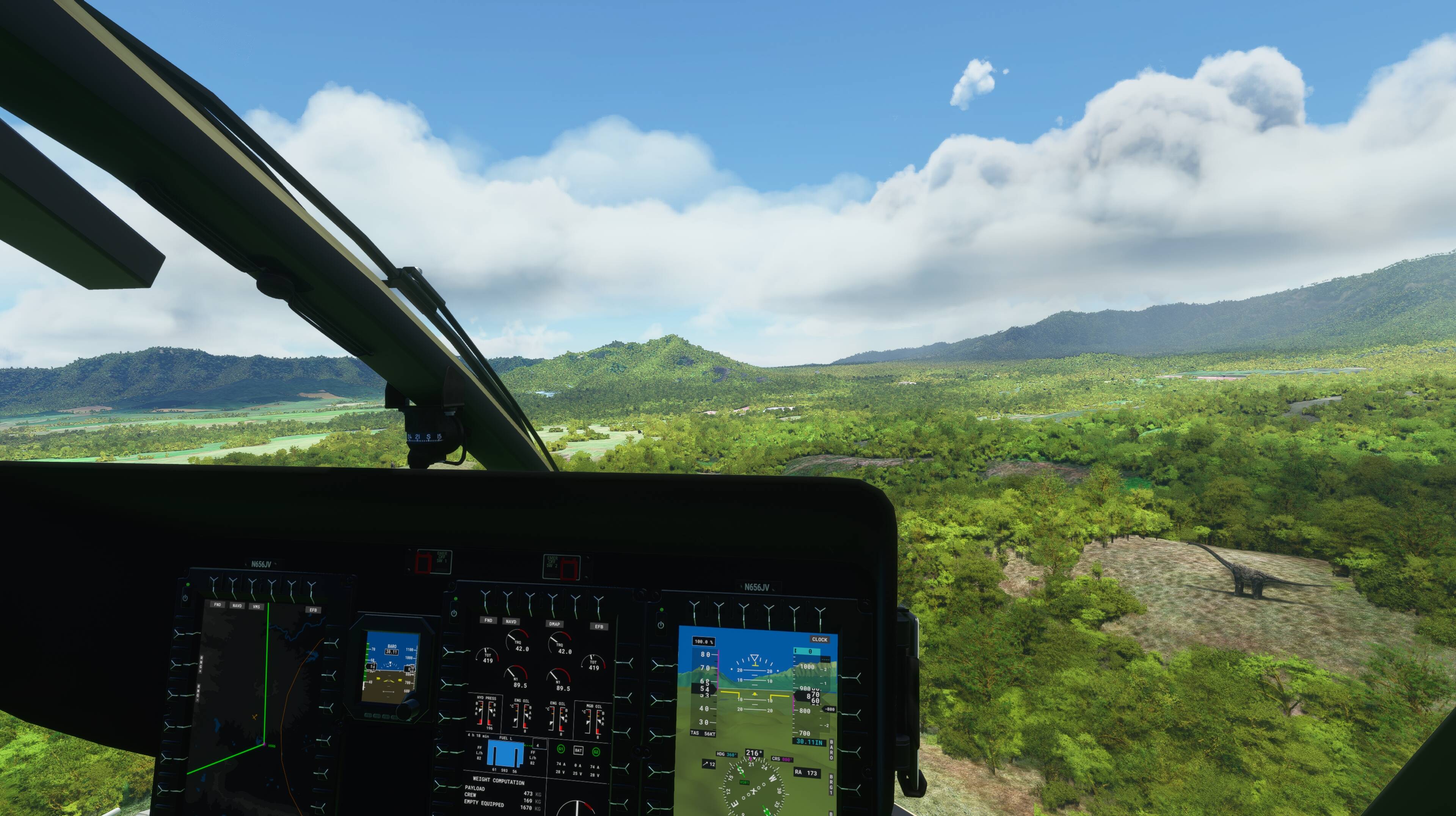
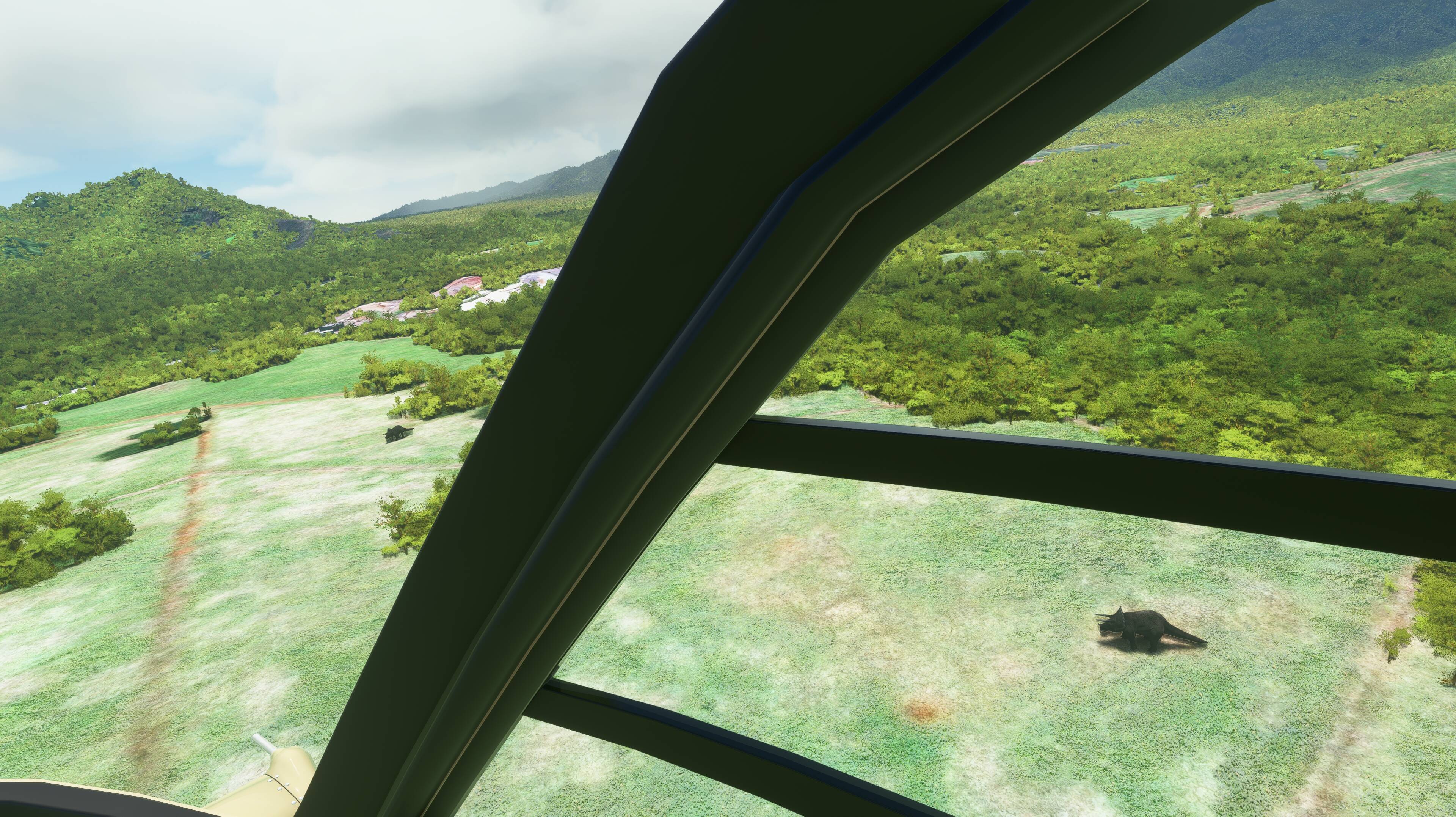
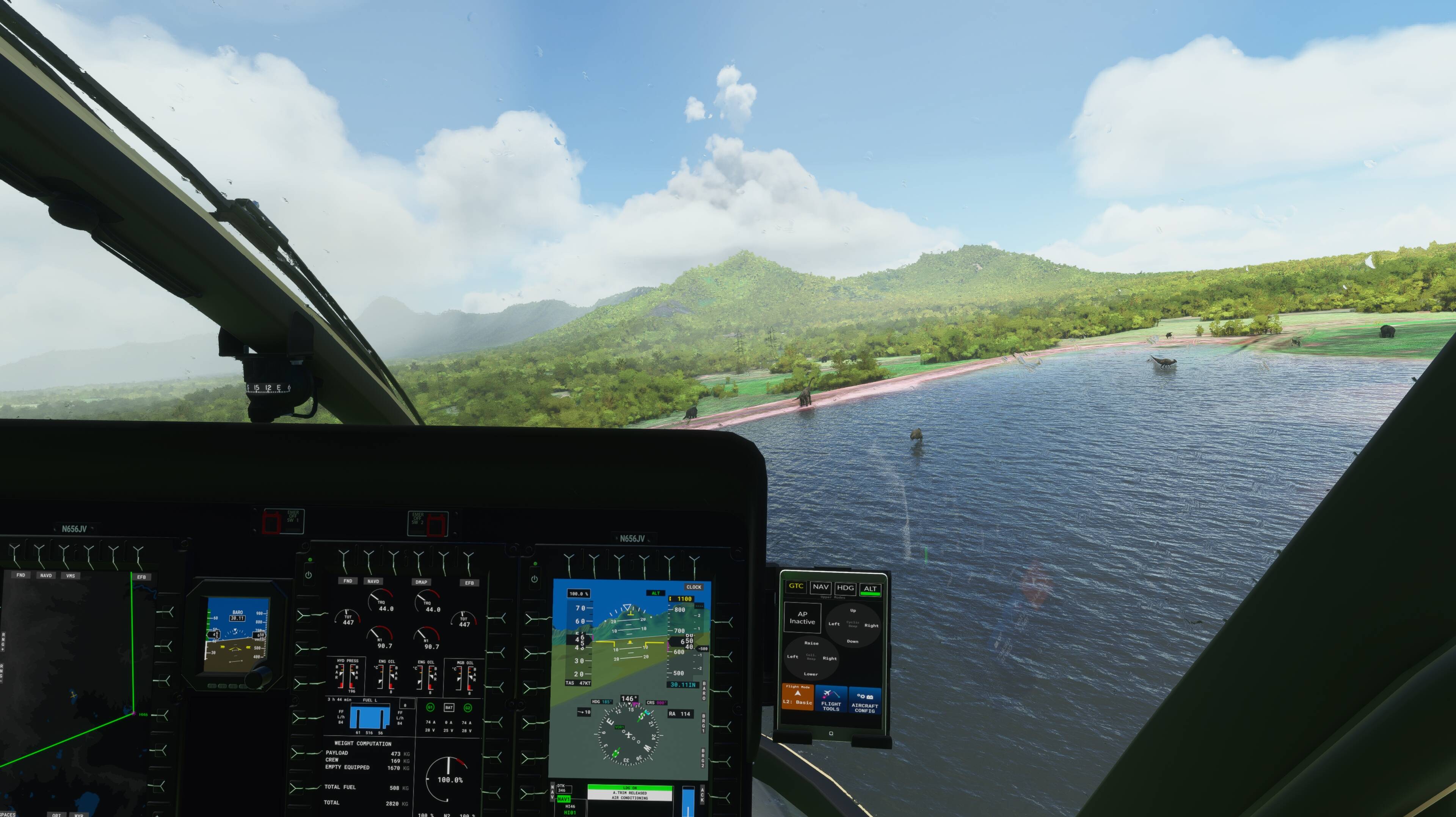
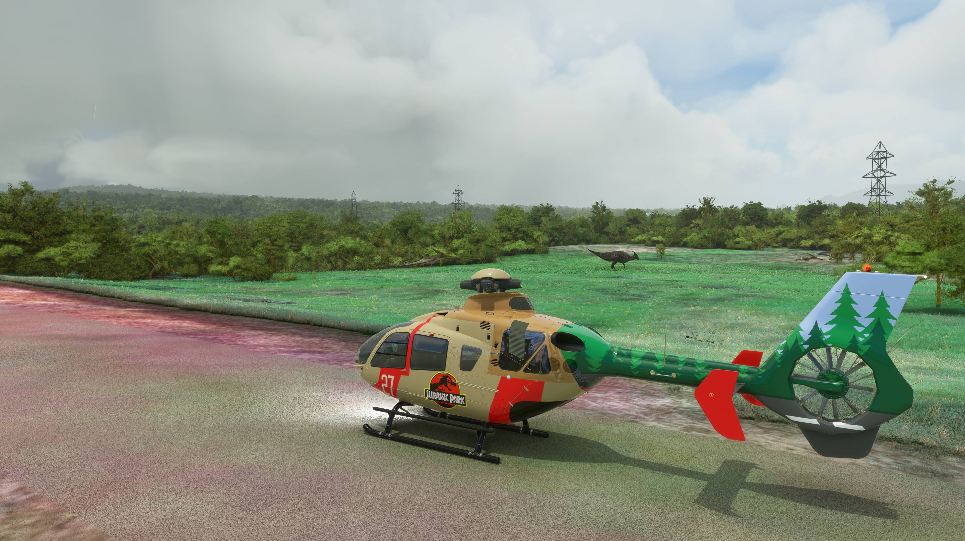
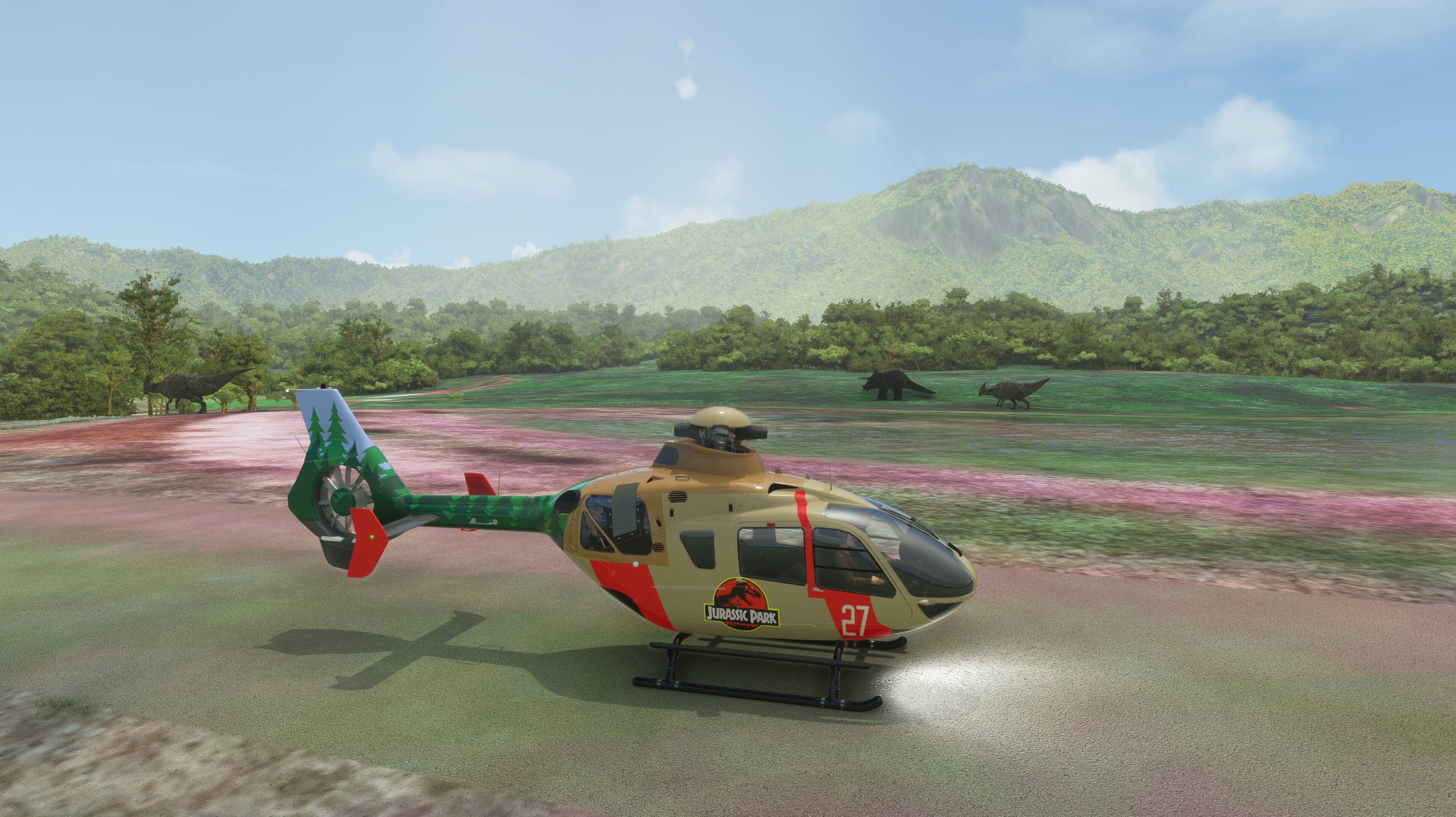
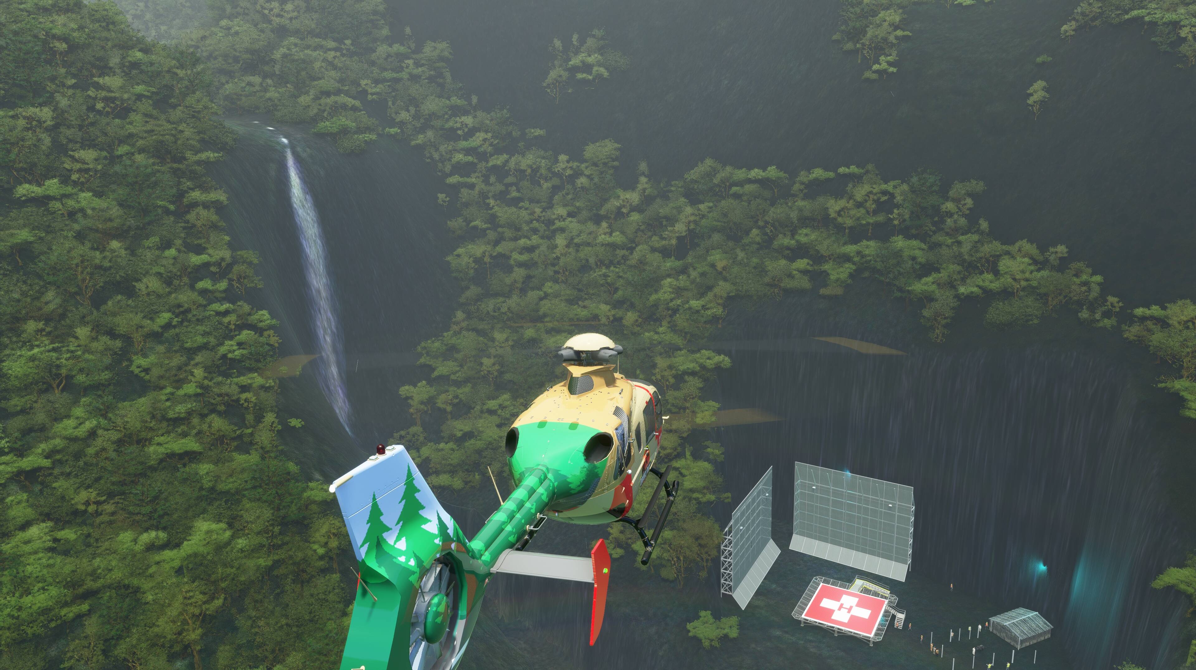
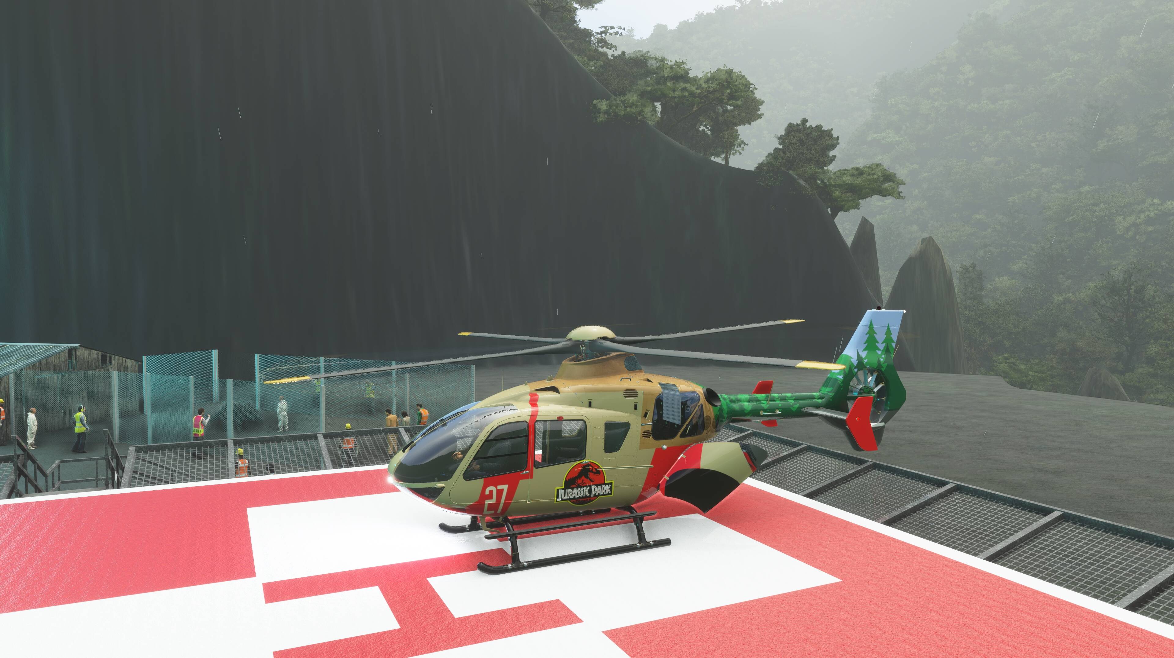
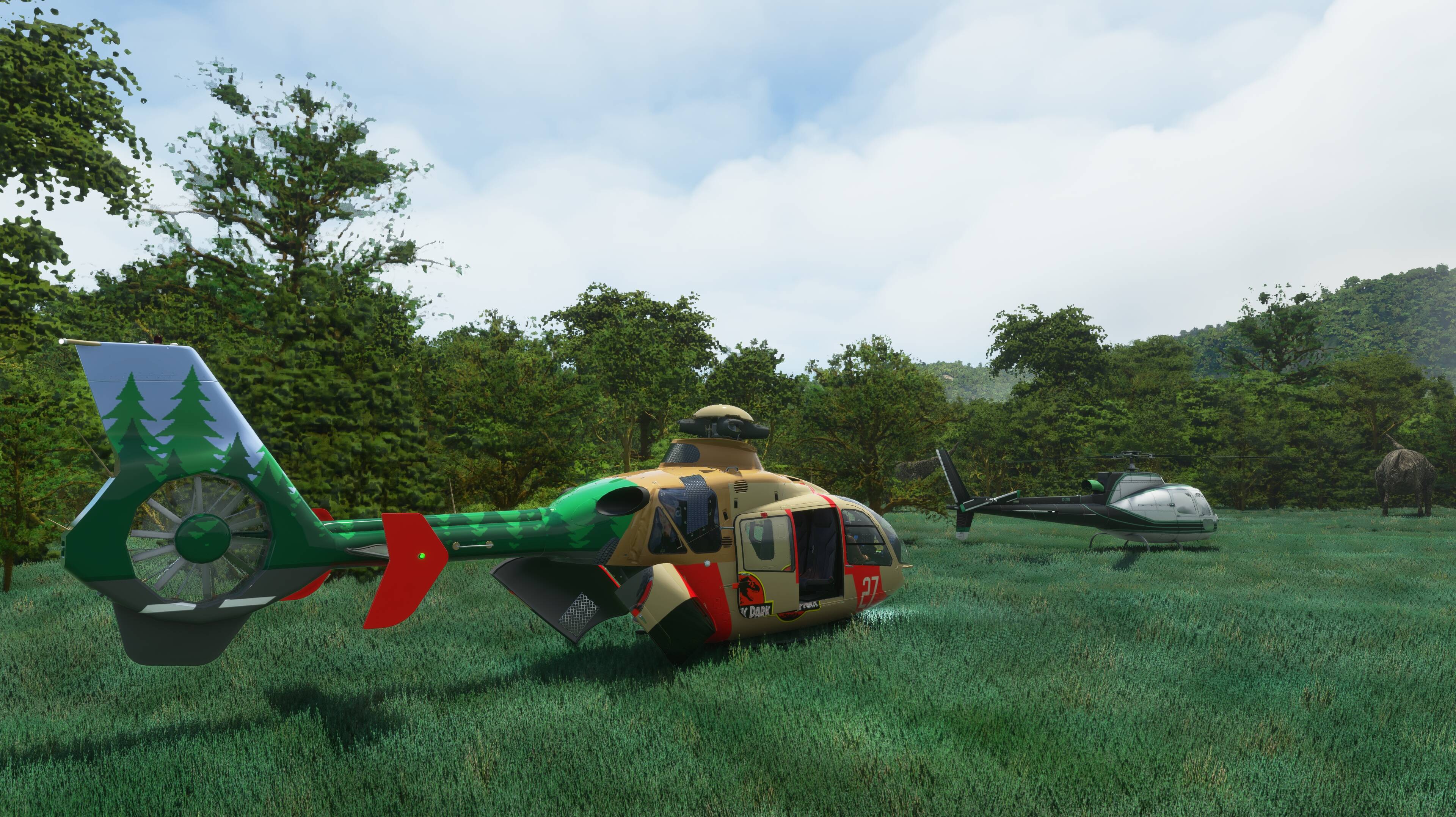
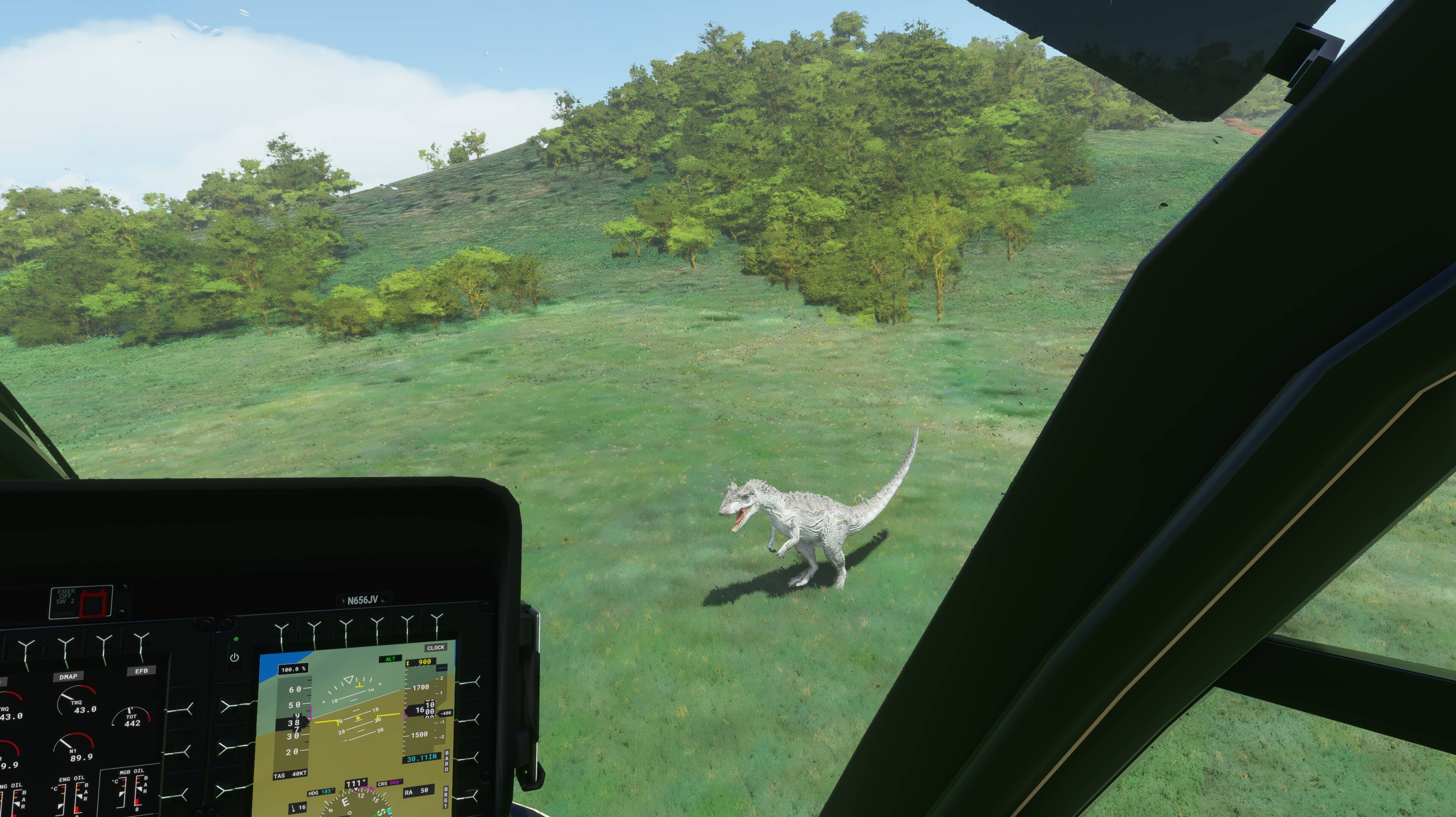
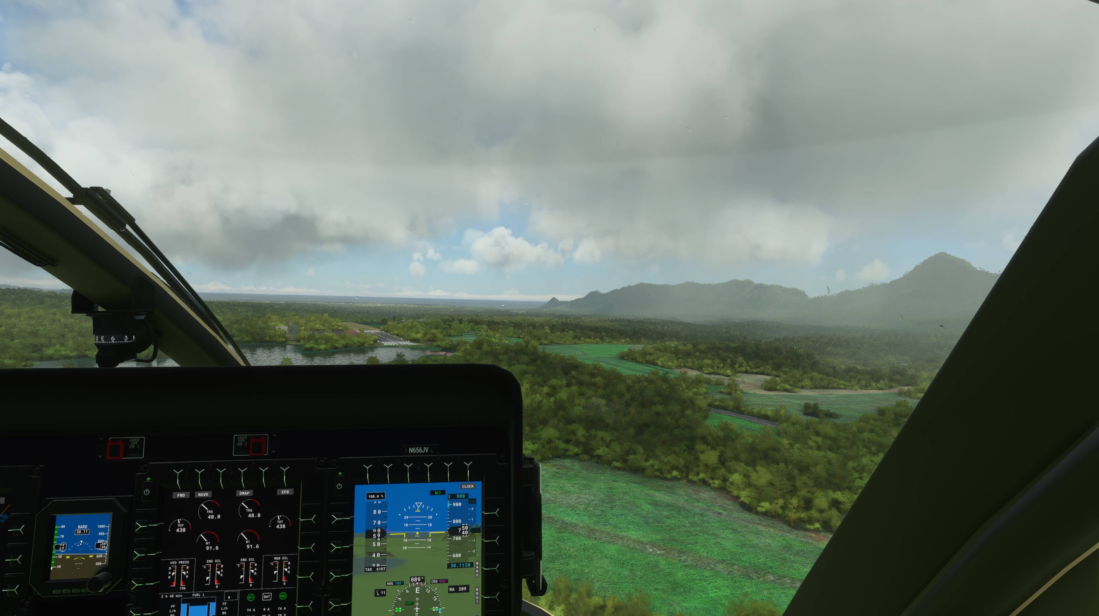
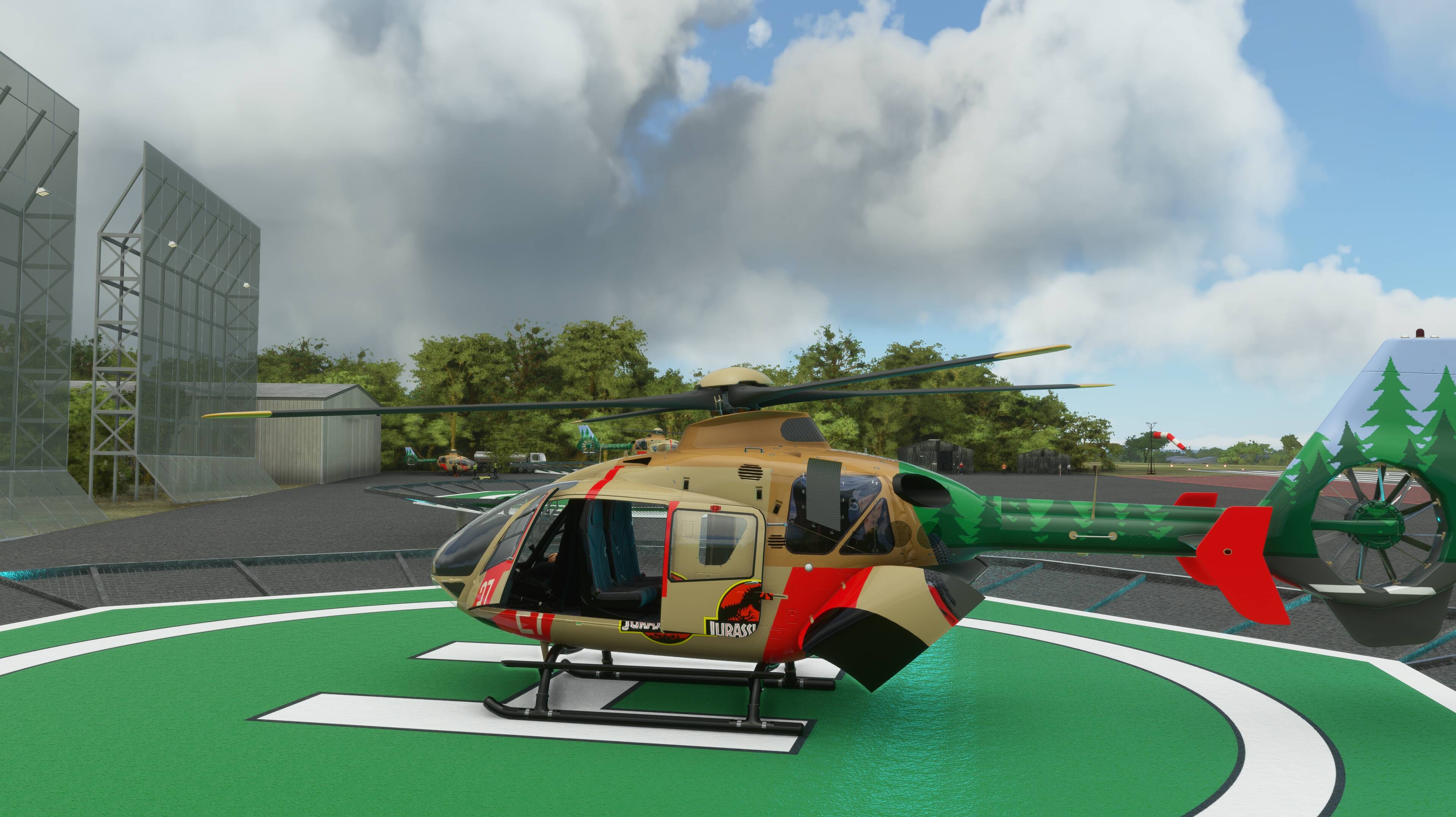
Rotor Sim Pilot used his talents to make us helo folks very happy - Dinos in Kaua’i. and a helipad that shows up on Little Nav Map and the sim. I pooped out and didn’t find a T-Rex. Hope someone can make the buildings and pier for seaplanes and a helo. Fantasy, I’m sure.
My Otto Pilot thanks you!
Would look a helluva lot better with ORBX YBBN, geez I wish they would hurry up lol