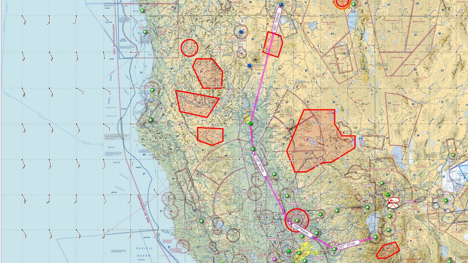
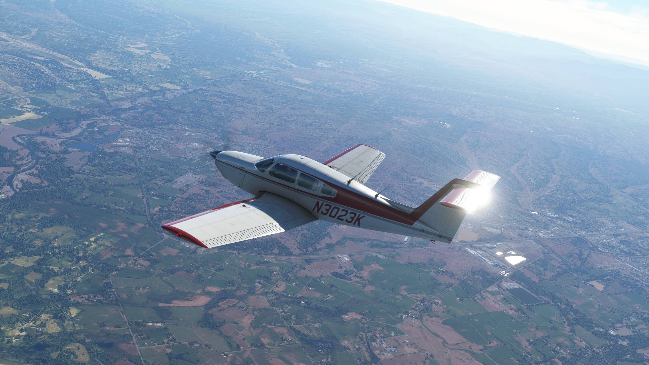
Today I threw an imaginary dart at the Skyvector page and came up with Crater Lake in California. I know nothing about the area but I saw Lake Tahoe wasn’t too far away so I just charted out a quick route down there through the Sacramento Valley.
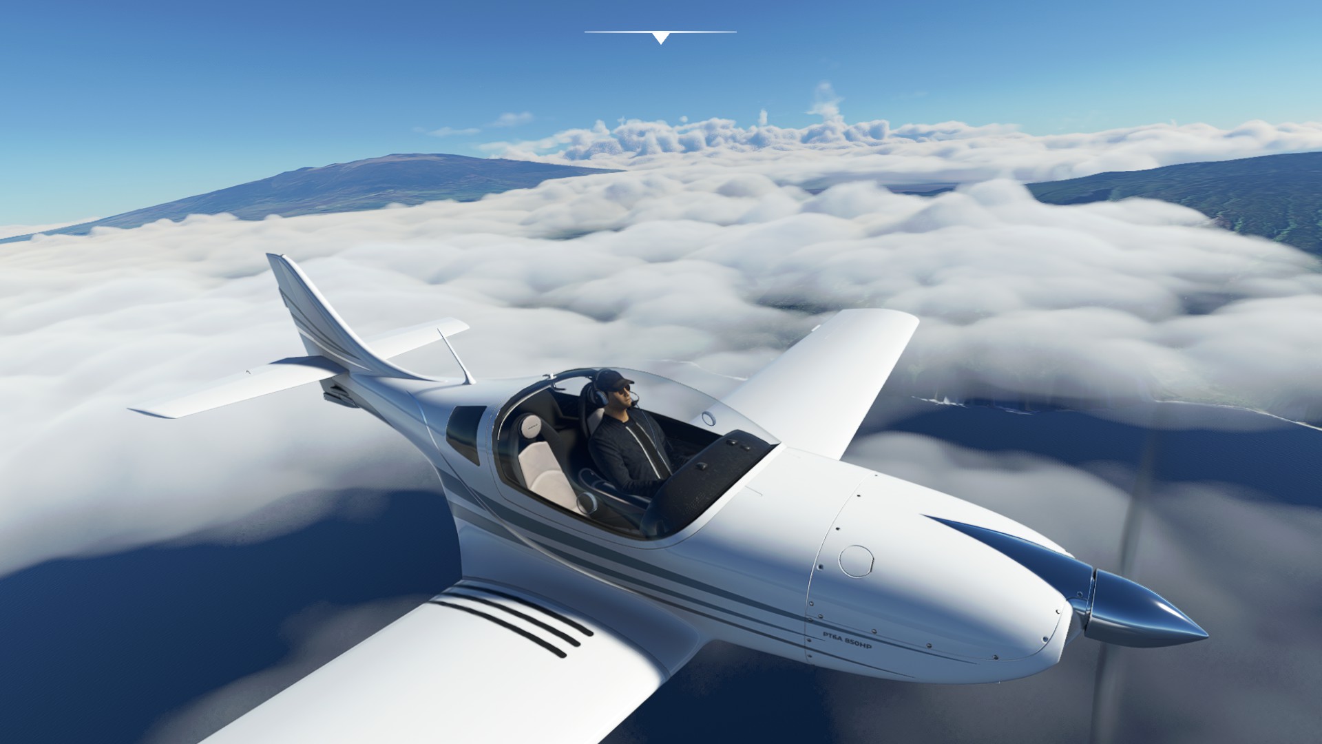
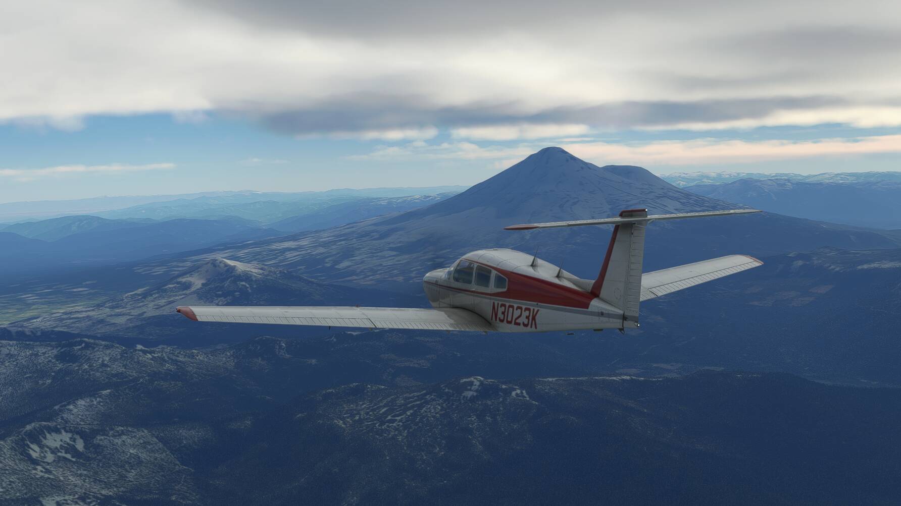
Take off into the late afternoon and it’s a nice view, so I made a slow orbit around the area before heading south. Though I couldn’t pick up my first VOR due to distance and terrain, I had a very obvious landmark to use. Mount Shasta.
It was fairly bumpy in the hills, but once past the mountain and dropping into the valley it smoothed out nicely. It didn’t take too long before the VOR started spitting out morse code, and found myself pleasantly surprised that I wasn’t too far off course. I just trimmed her out and kicked back to watch the world go by.
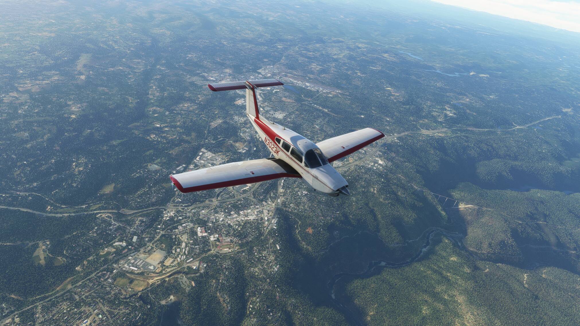
Once I turned east before getting to Sacramento, we’re back climbing into the hills…and the bumps, not nearly as bad as the start of the flight, but having to keep an eye on my VSI.
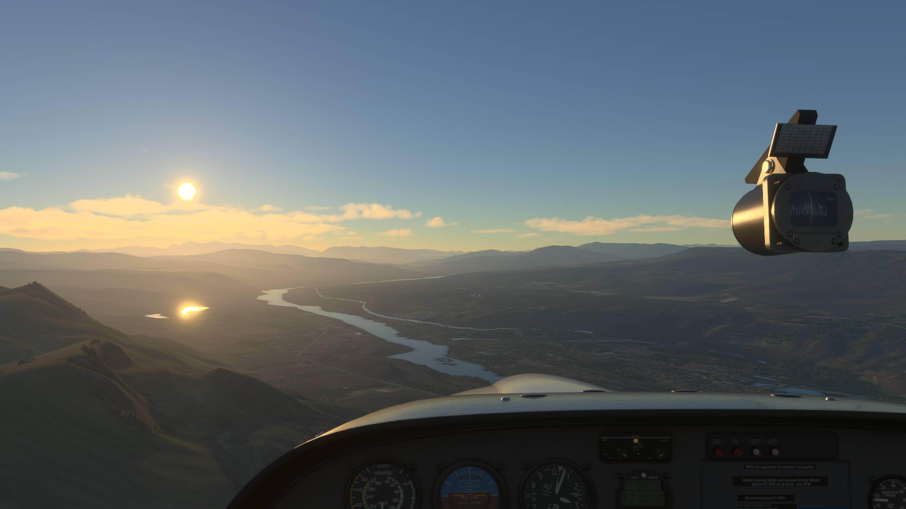
Caught a quick glimpse of an interesting hill-top community and a bridge over a ravine…nothing too special, it just hit me right.
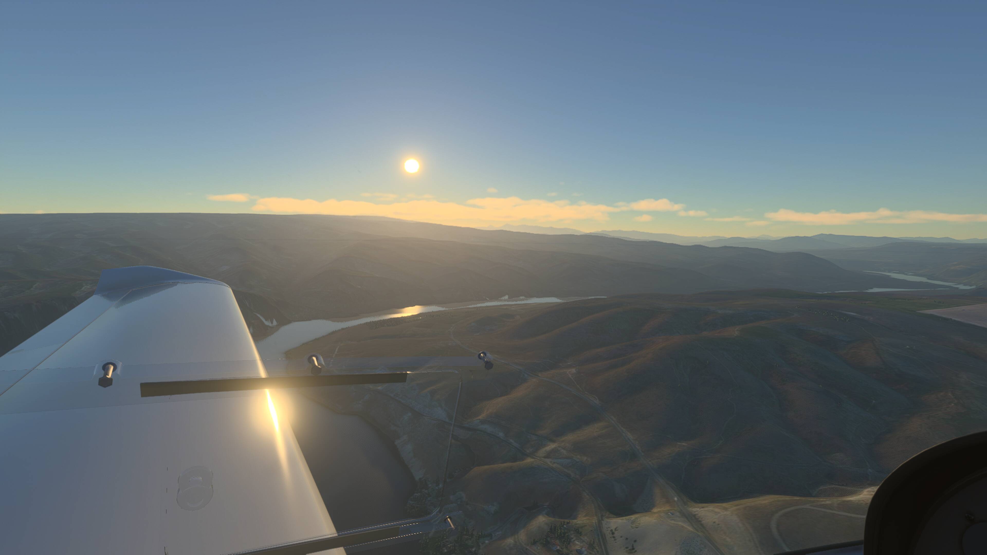
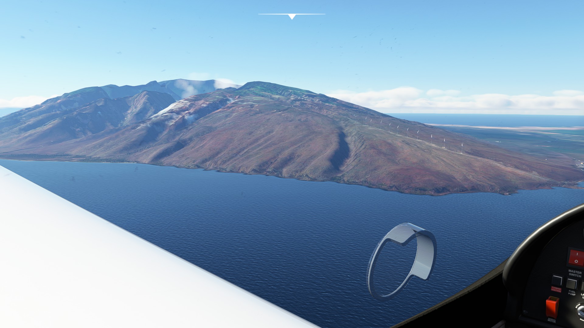
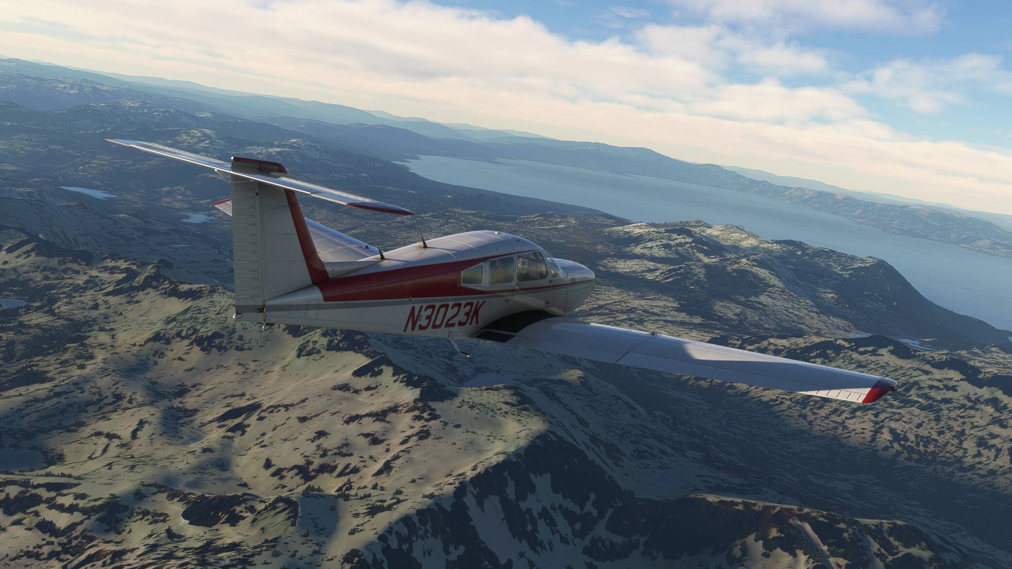
Another 10 minutes or so, I finally see Lake Tahoe sitting amongst the surrounding mountains.
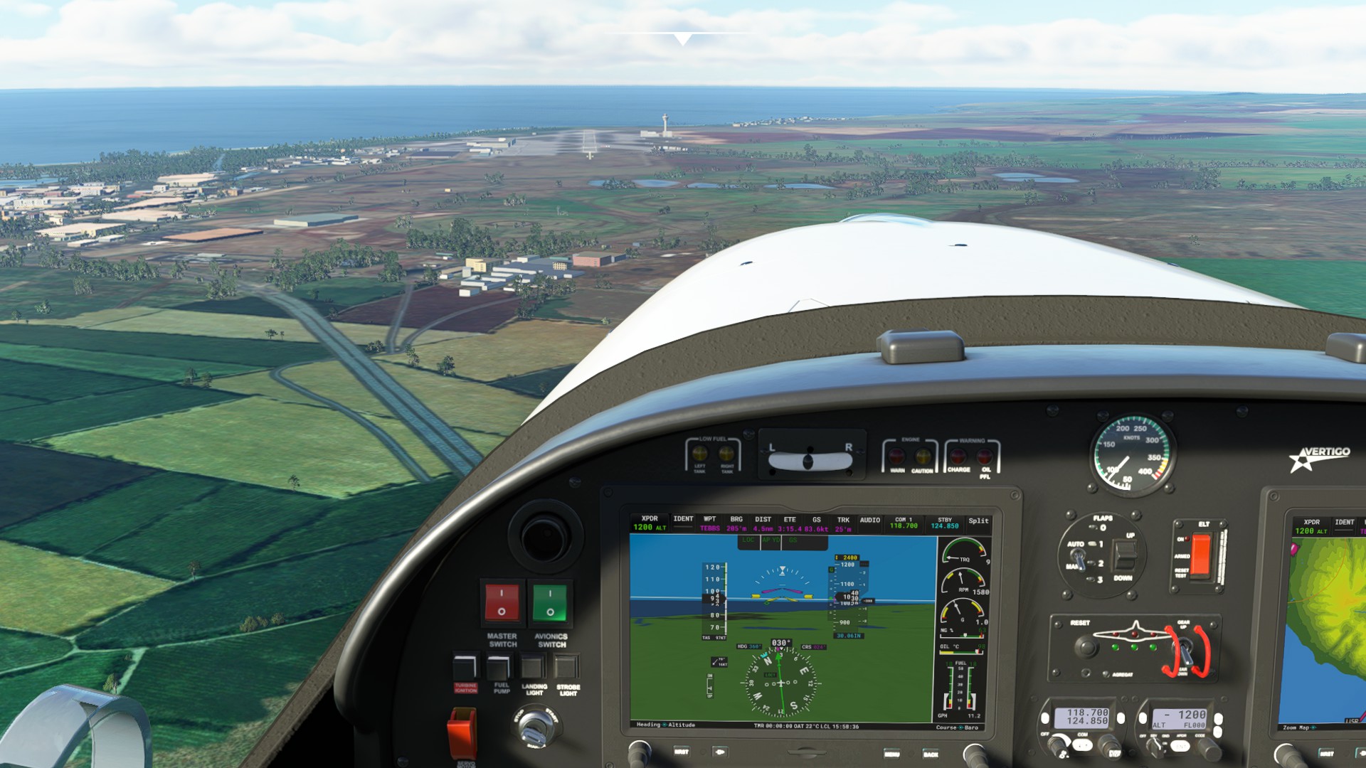
Was able to pick out the airfield off to my right as I crested the mountains, and with no other traffic visable and nobody on common, I just made a couple orbits out over the water to bleed off a bit of altitude and speed. One more check for traffic and took a straight in approach.
Yeah, it felt a a bit gusty and I was getting some slight oscillations…and yep, I definitely scooped it, but everything is intact.
After a rough day, it was a great way to wind down for a couple hours. 

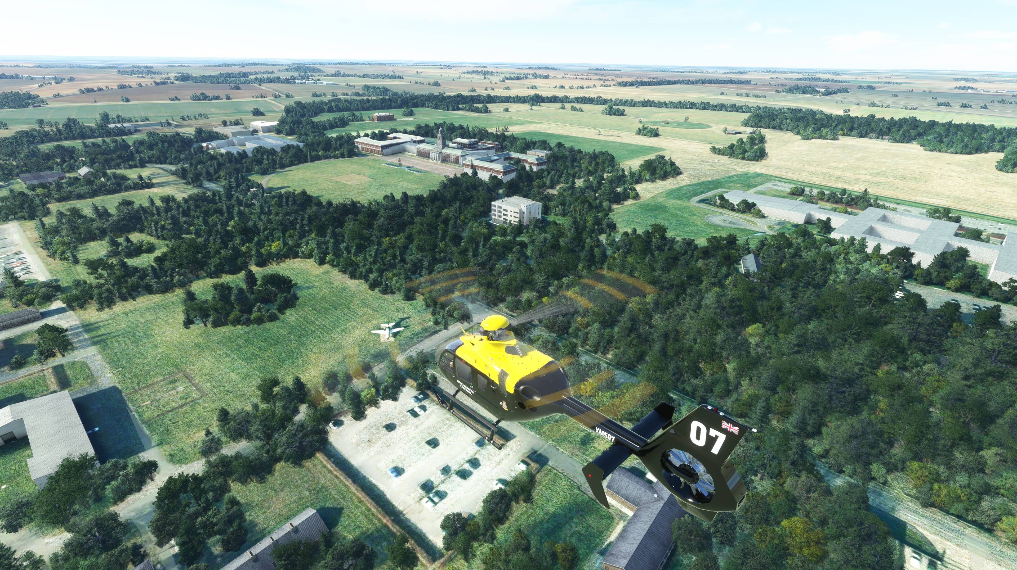


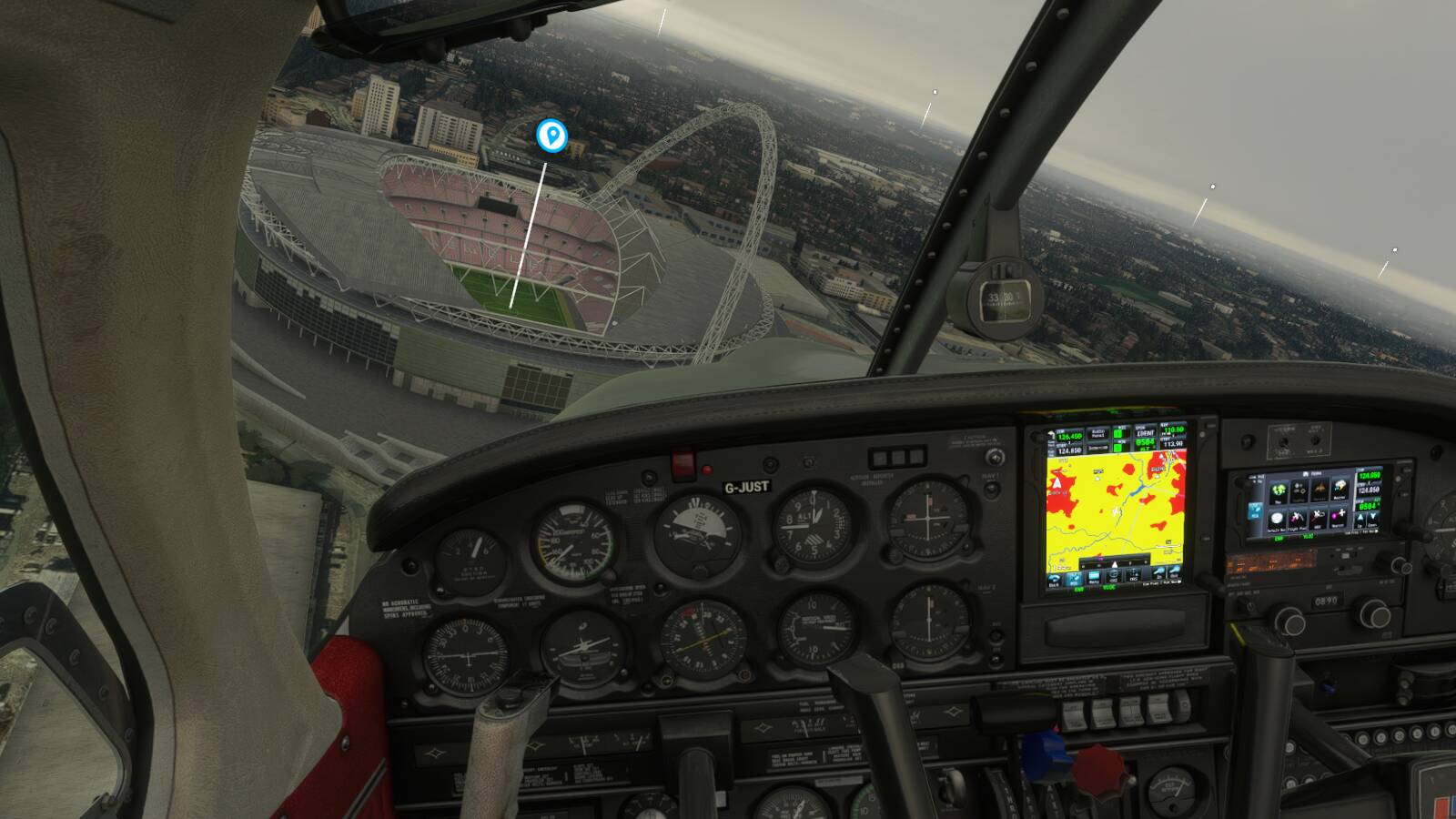
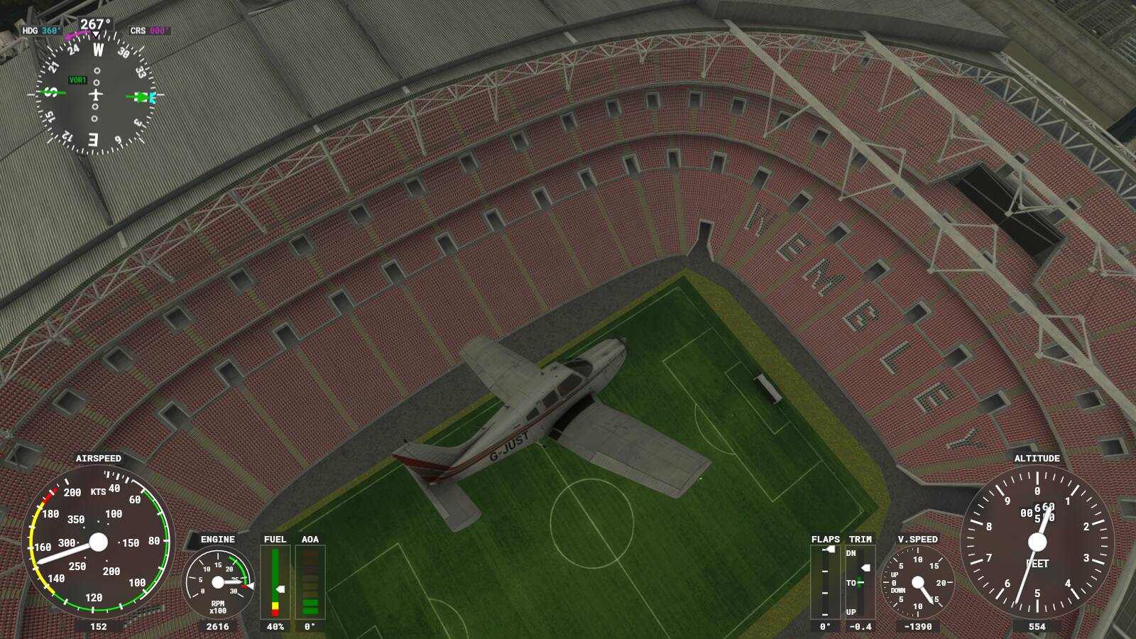
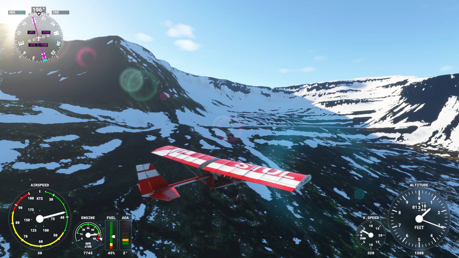
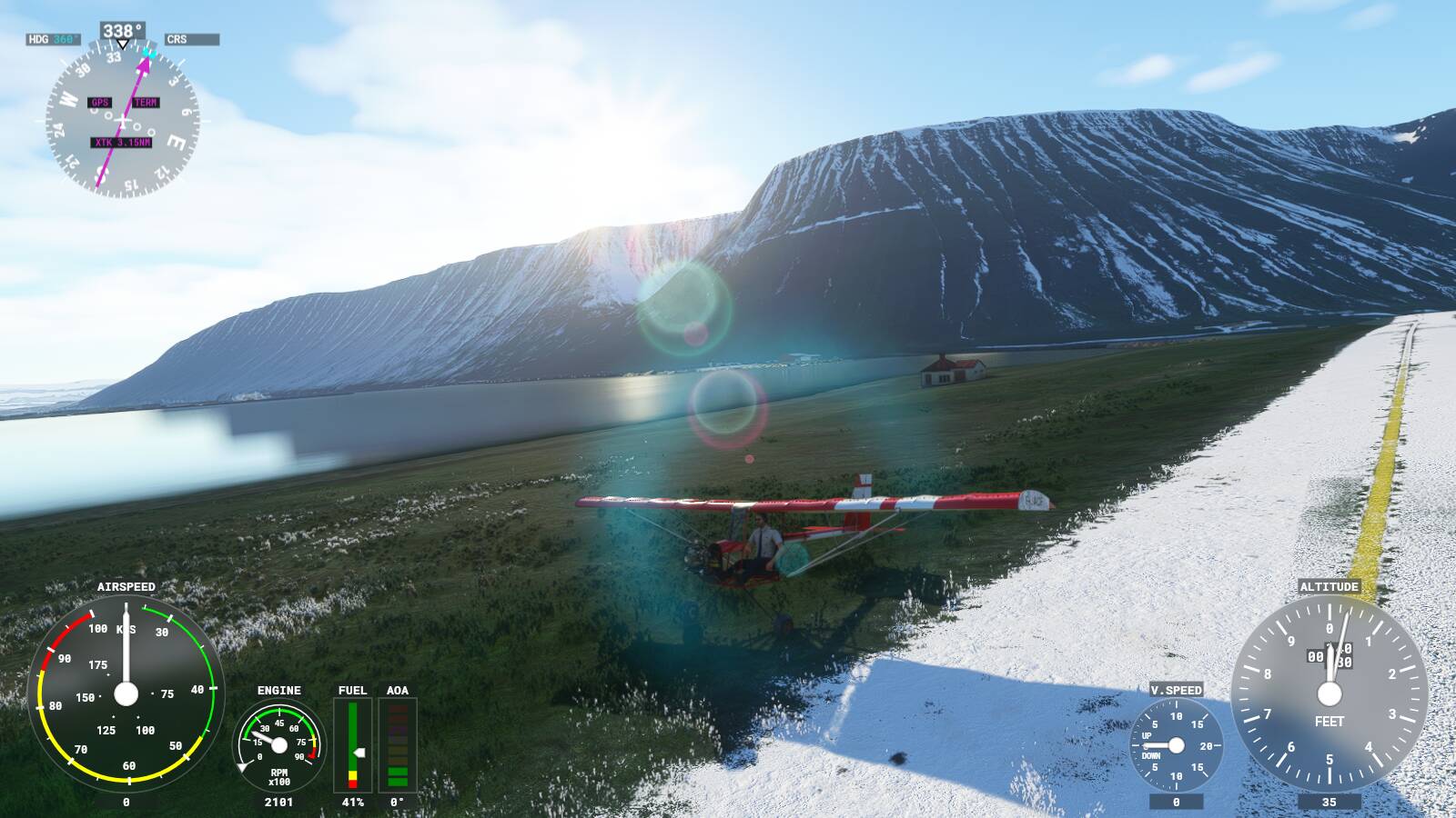
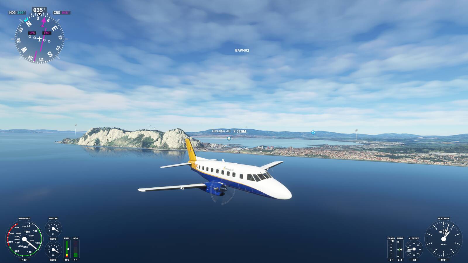
 After London I went ultralighting around Isafjordur, and then took a hop in the EMB-110 Bandeirante from Gibraltar to Malaga.