After the first leg from post #2641 my journey continues. I flew my second VFR flight from Nelson (NZNS) to Westport (NZWS) via Motueka (NZMK).
This time the Live Weather was good, so I departed RWY 20 at Nelson in the early morning. It was a very short hop to Motueka to refill my pretty much depleted tanks with some fuel. At Motueka the Jet A-1 was much cheaper than at the big airport but it had a little surprise for me ready. ![]()
Afterwards with 200 gallons extra onboard I flew to Farewell Spit the most northern part of the South Island and then direct to Westport along the shoreline.
Takeoff RWY 20 at NZNS:
A tight right crosswind leg over the Waimea Inlet to fly the traffic pattern east of Rabbit Island and join the Bay Departure 1500ft or below:
Short final RWY 20 at NZMK. Note the high trees on the approach end and you can also see the tire marks of the periodical drag racing on the airport:
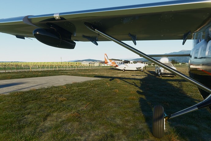
The Jet A-1 fuel station was blocked by these guys, both wouldn’t move so I had to park and refill on the grass:
Such a cozy spot at Skydive Abel Tasman in Motueka:
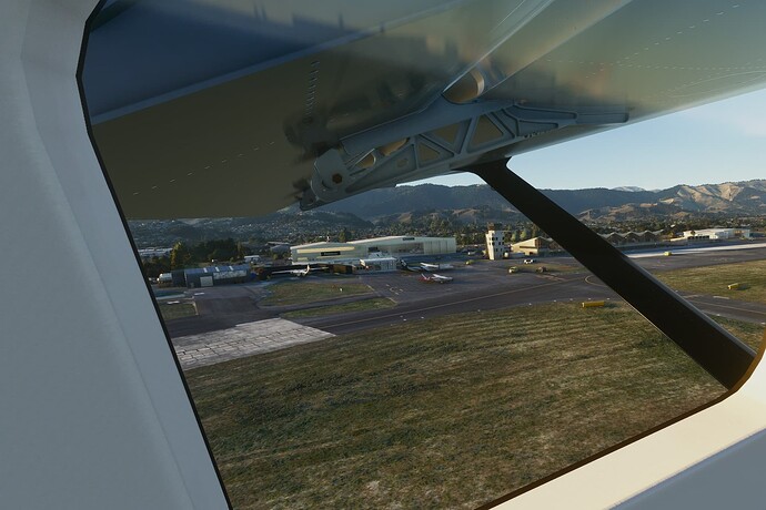
Departing NZMK, on the left right under the flap you can see the Nelson Aviation College:
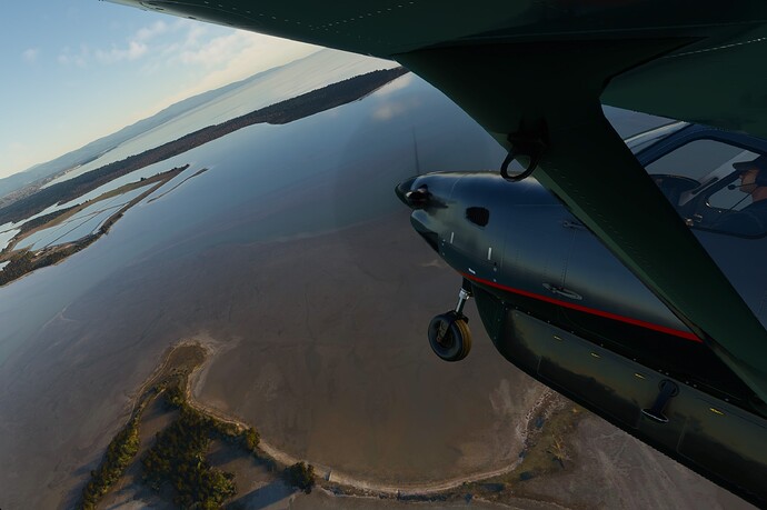
Leaving Farewell Spit behind:
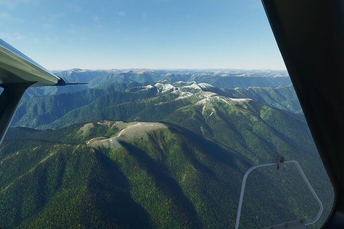
The mountains getting higher on the way south. Also note this nice plateau, would be perfect for some STOL action:
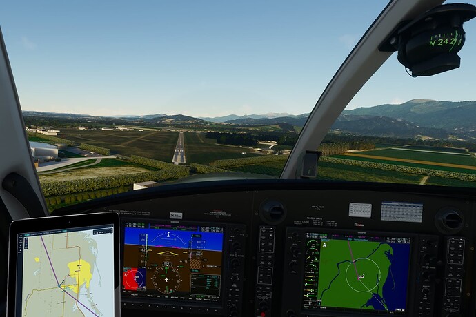
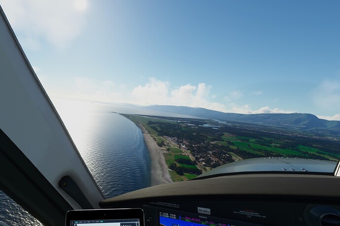
Turning final RWY 04 at NZWS:
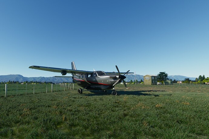
Parked the Kodaik on the grass area behind the fuel facility according to the aerodrome operational data sheet:
Note: All pictures come directly from the VR-Headset. They are only trimmed but no post processing is added. Sometimes the edges look a bit blurry, that’s because of the Fixed Foveated Rendering option of the OpenXR Toolkit and isn’t visible in the headset.
I’m not a real pilot and all my knowledge I learned by myself, but I try my best to follow all real procedures as well as possible. So, if you have tips or found some errors in my flights or procedures please let me know so I can get better.
