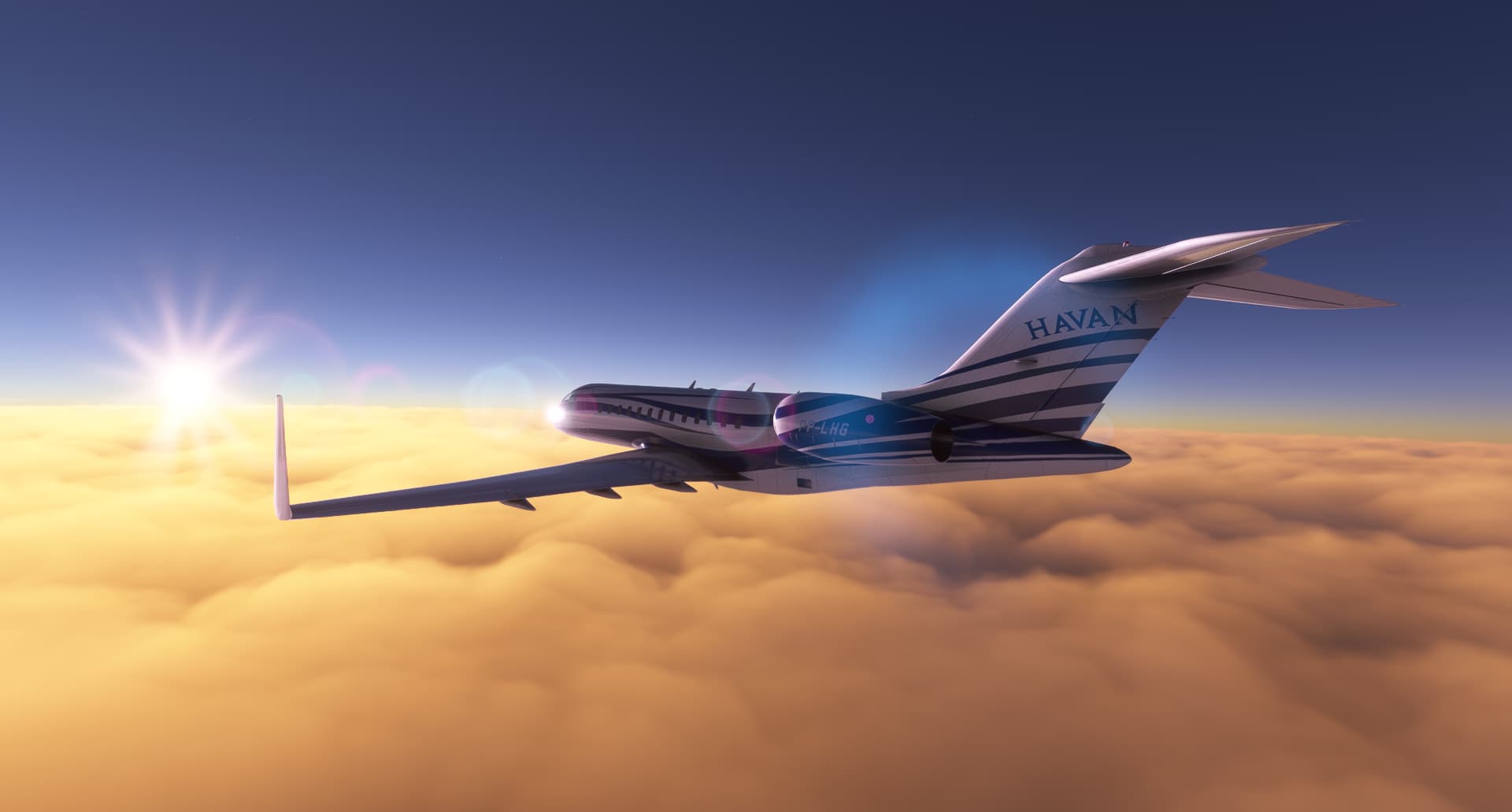
A proud moment for me yesterday…I completed an 11.6hr flight from Quito (SEQU) to Berlin (EDDB). This thing sips fuel.

13 Likes


Cool looking aircraft!
What is it?
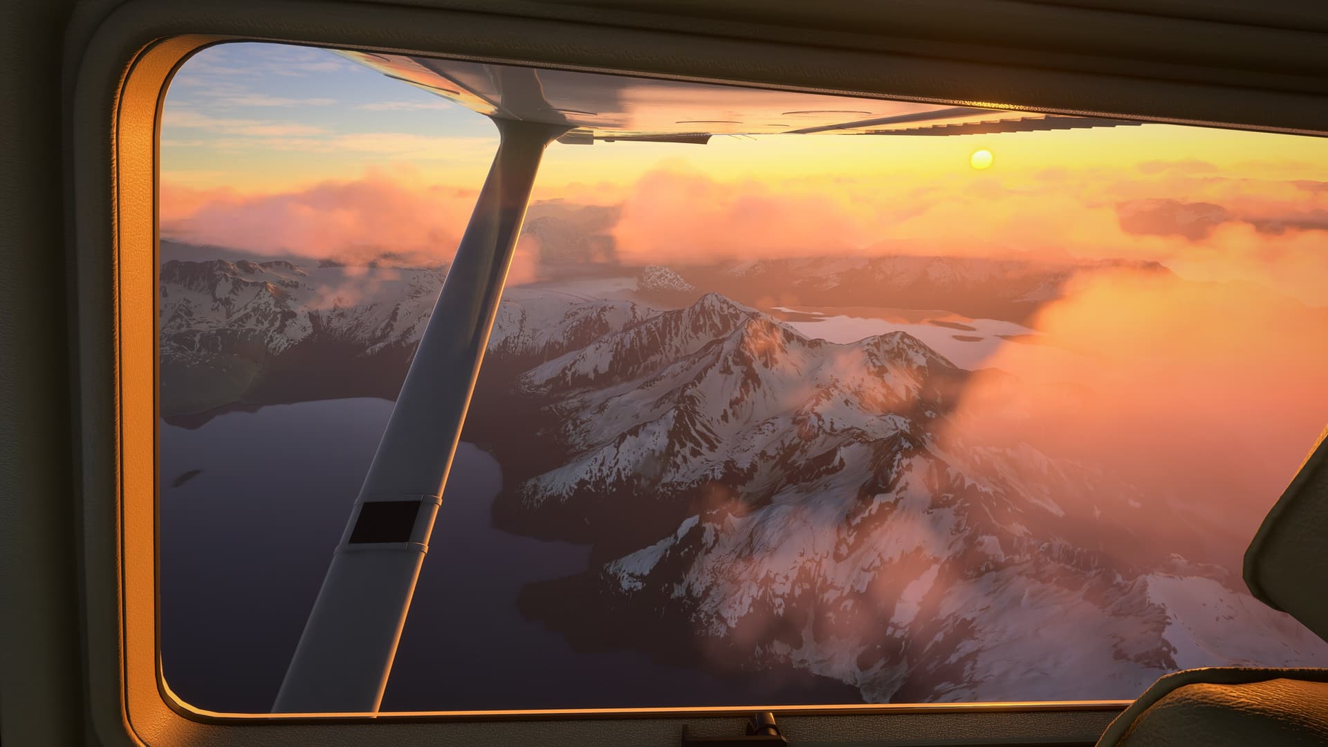
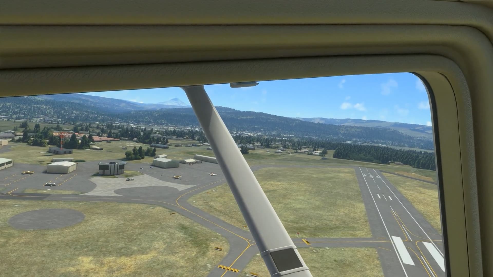
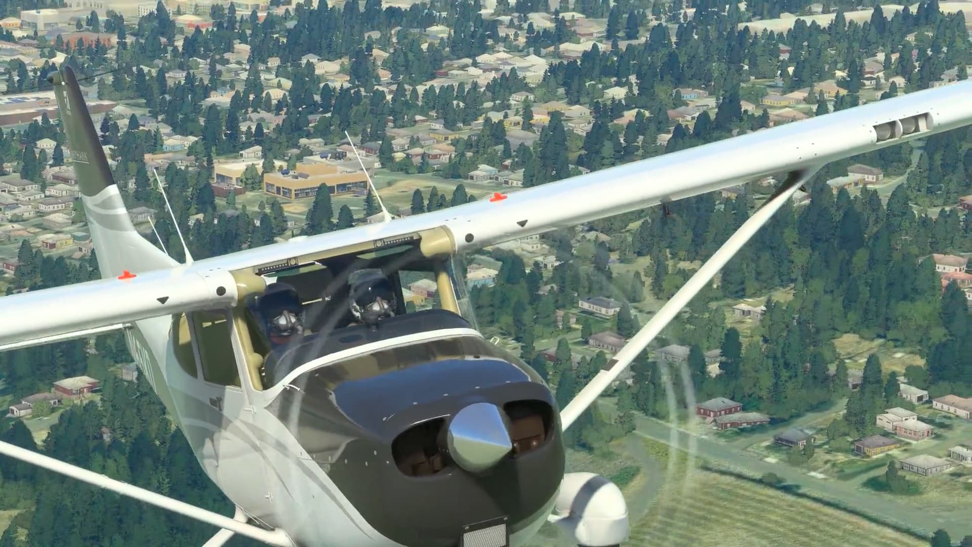
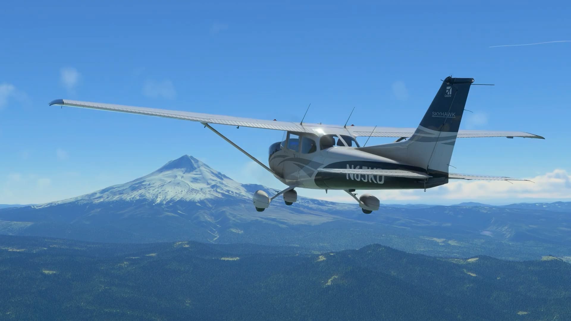
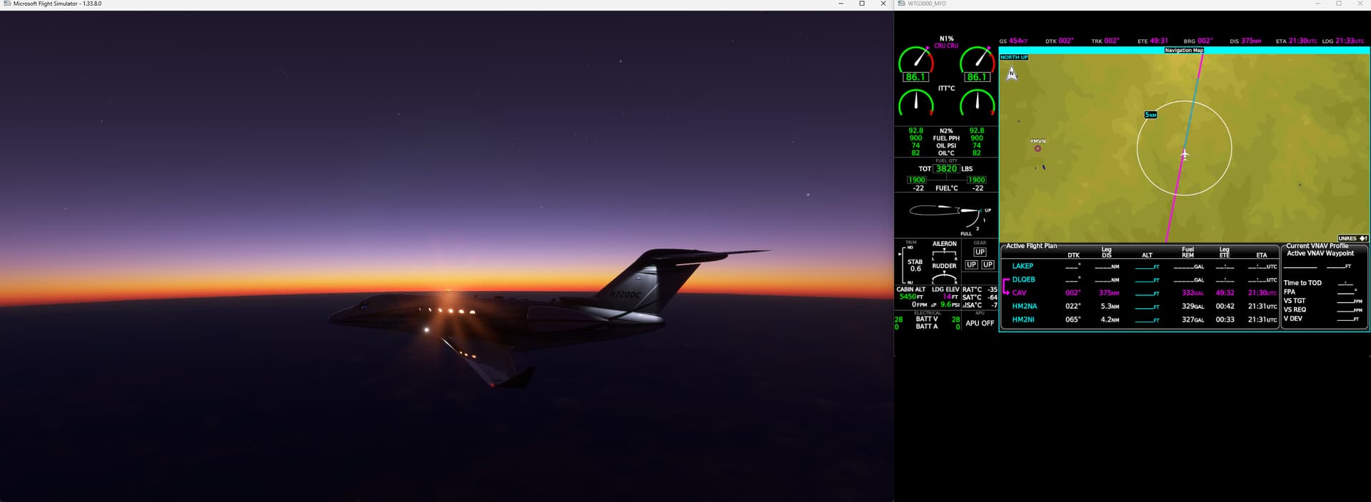
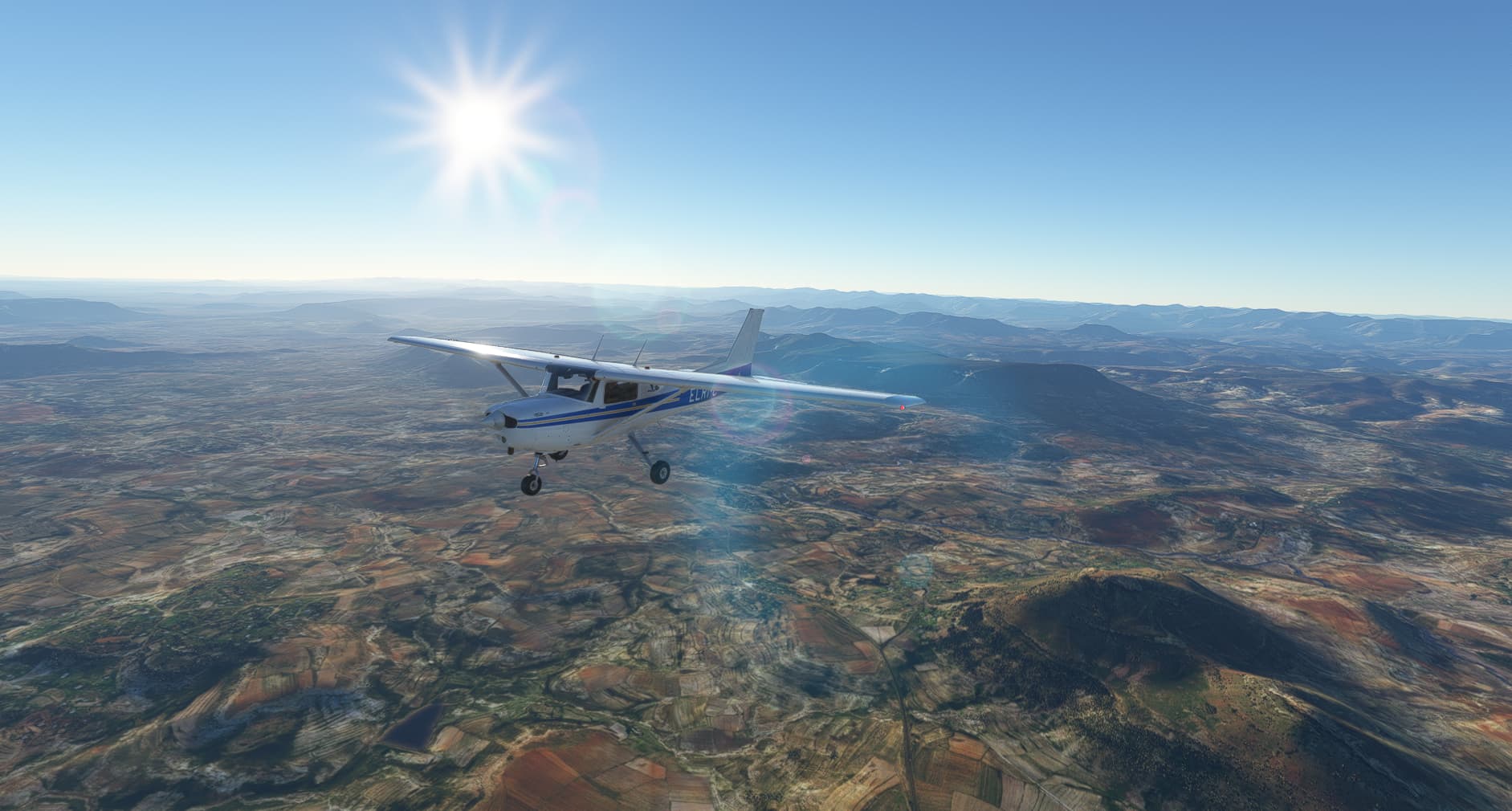
Quick test run on AAU2, Cessna 172 from KDLS (The Dalles / Columbia Gorge Regional) on the Columbia River up to Mt Hood. This was mostly to confirm stuff still worked for VFR flight, so just climbing up towards the mountain, fiddling a little with the autopilot and on manual.
I forgot to change my pilot avatars back to civvies from jet pilots earlier ![]()
Mt Hood partway through the journey… pretty straightforward, just climbing at Vy until I reach the peak ![]()
If you look closely you can see the green/yellow/red blob of the mountain peak on the PFD’s mini-map, which is showing relative terrain. ![]()
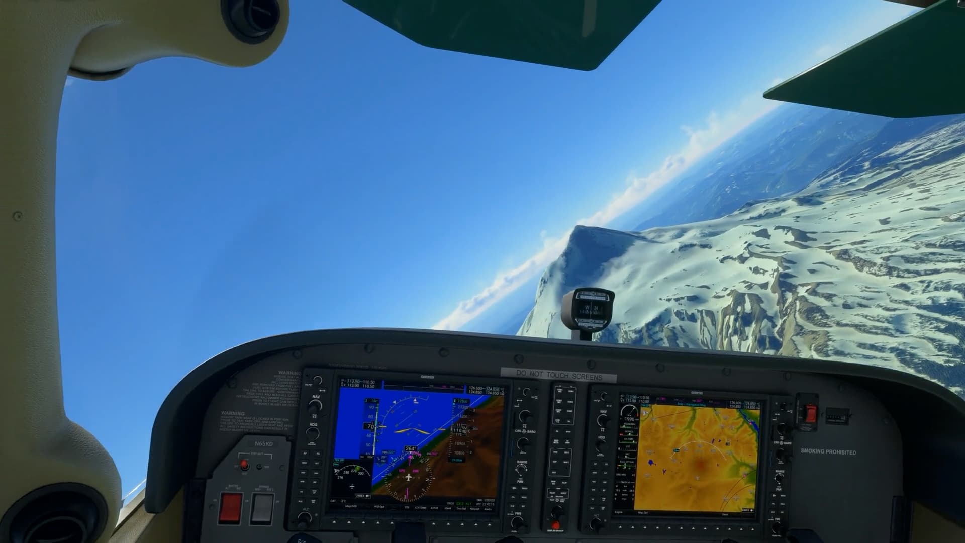
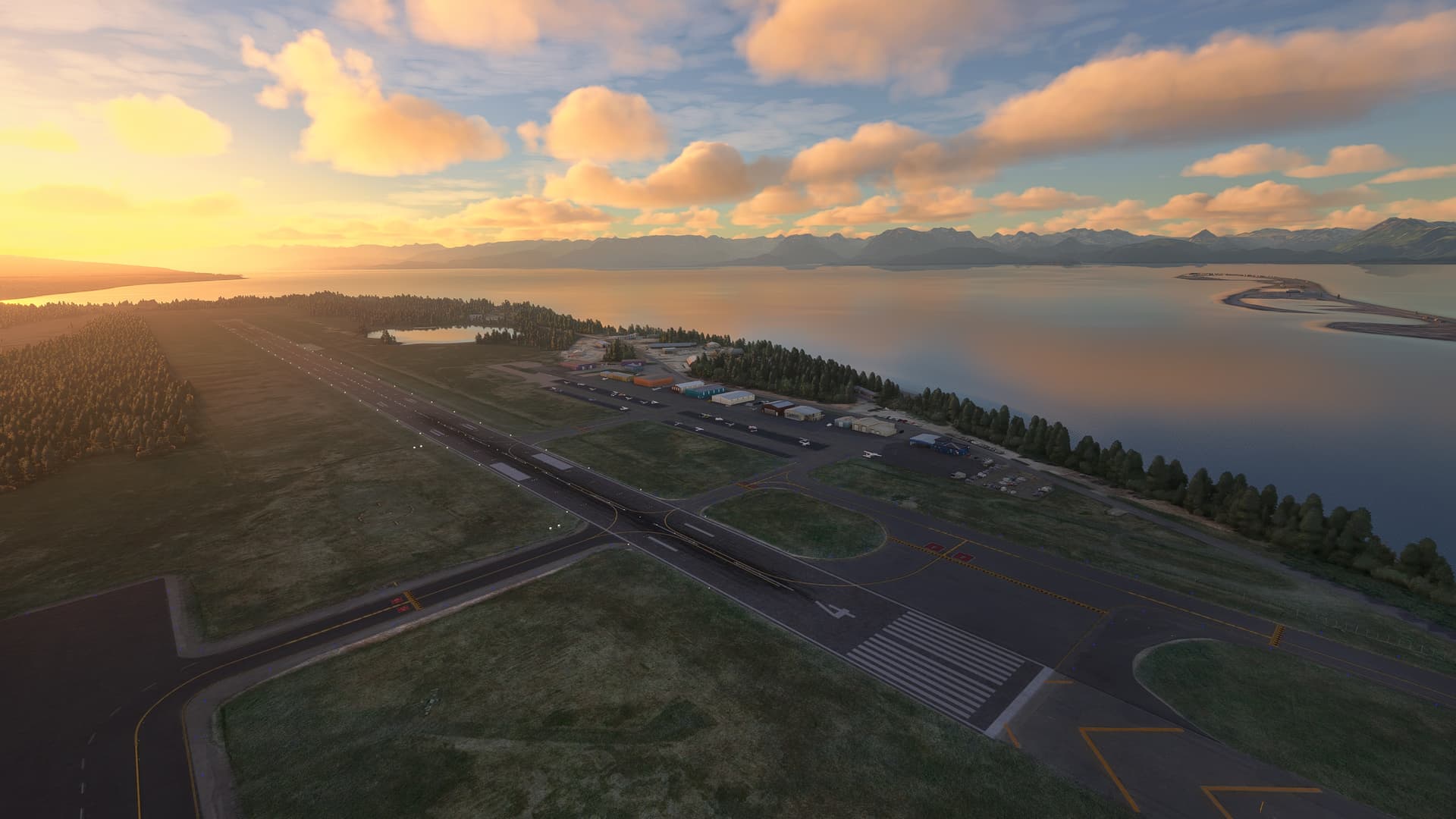
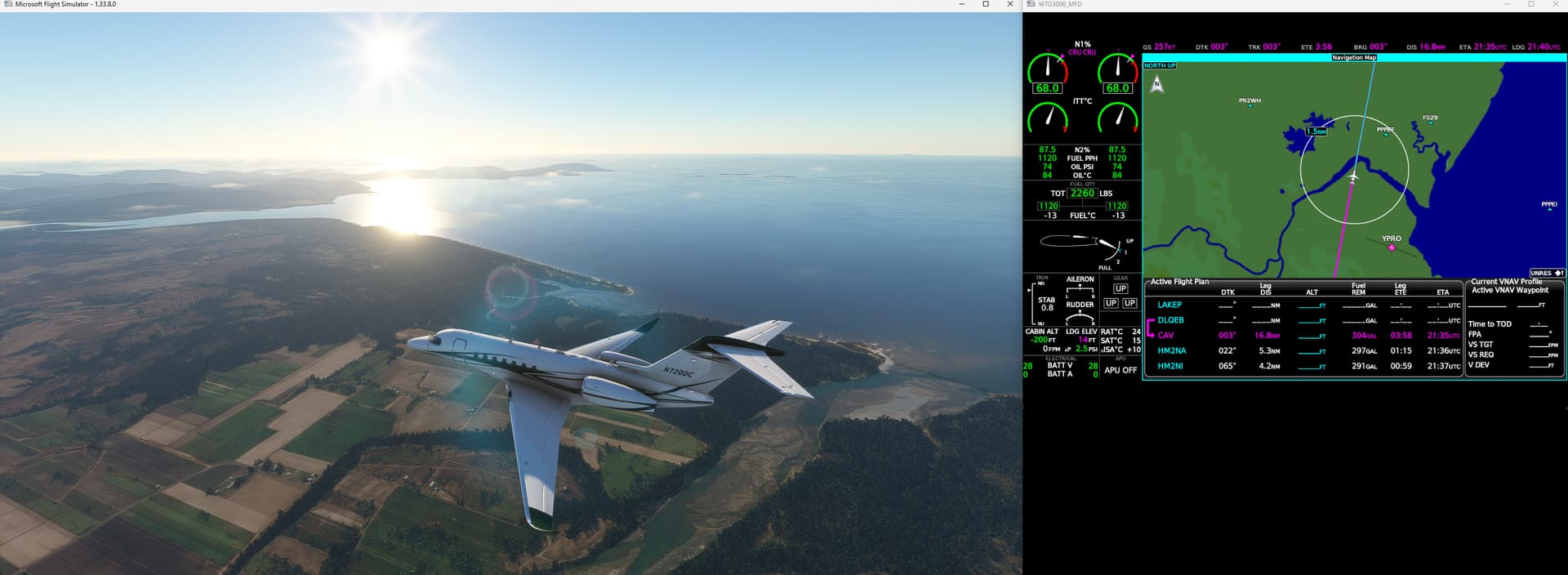
Didn’t have time to turn around back to a proper landing strip so just did some silly bad maneuvers around the mountain peak until I smashed into something ![]() Close-up the mountain is a little uggy looking, hopefully MSFS2024 will fix that.
Close-up the mountain is a little uggy looking, hopefully MSFS2024 will fix that. ![]()


13 Likes
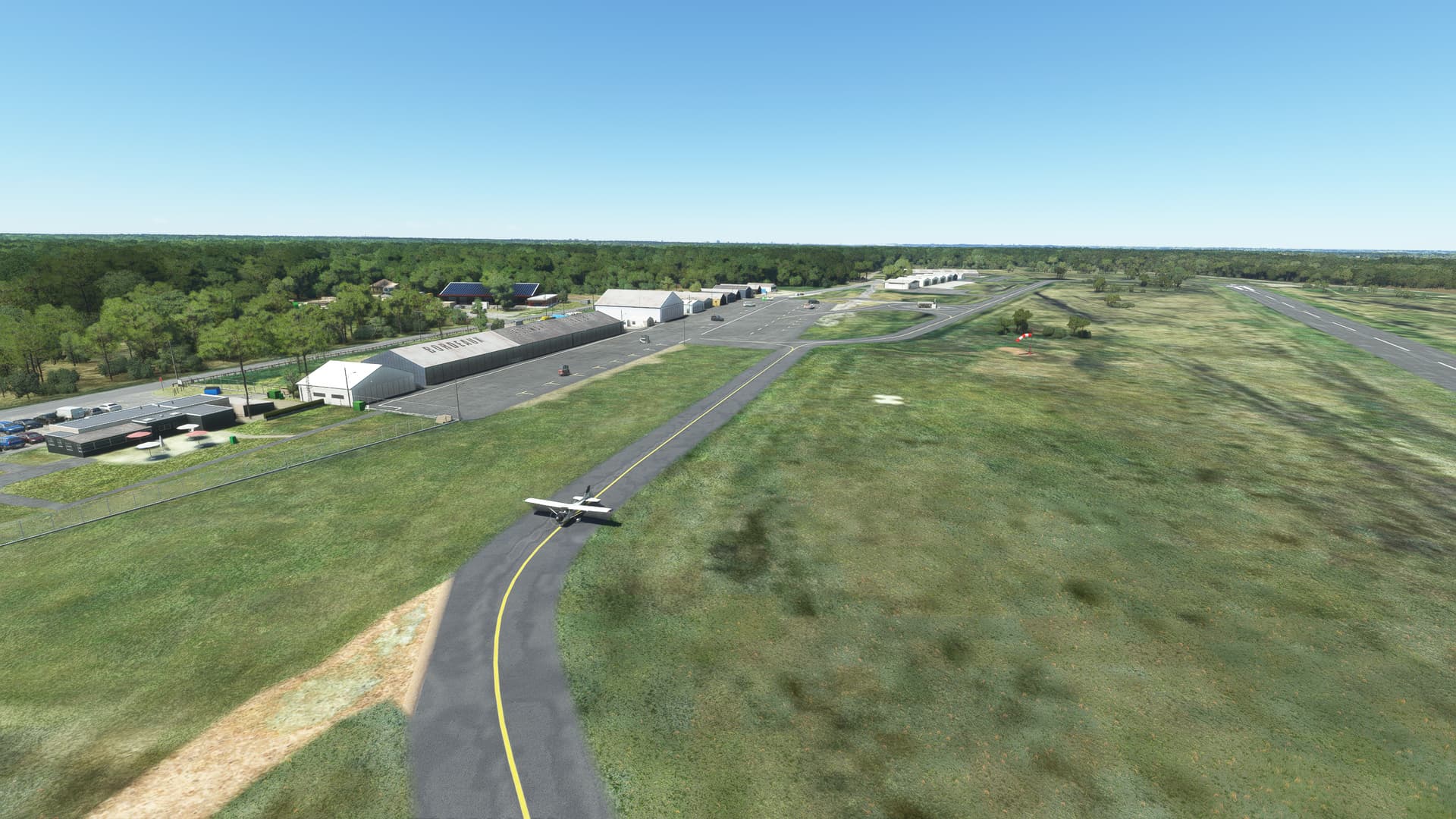
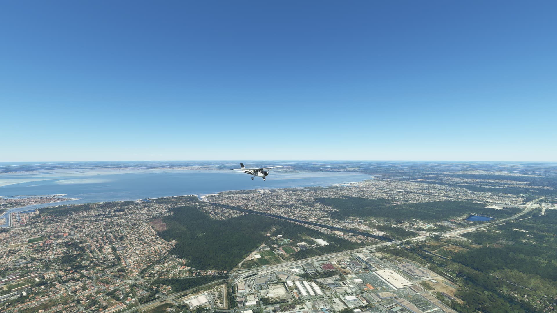
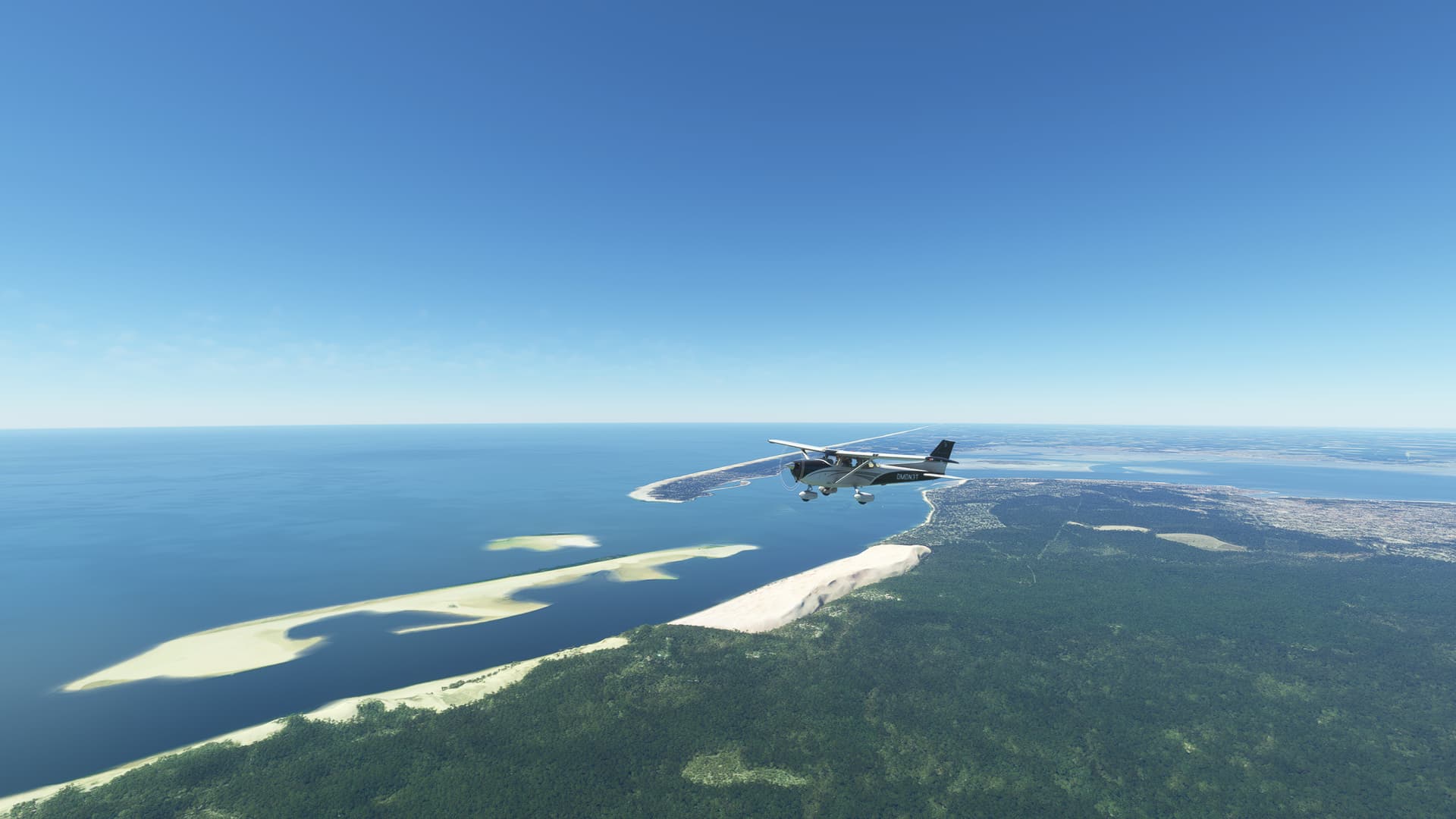
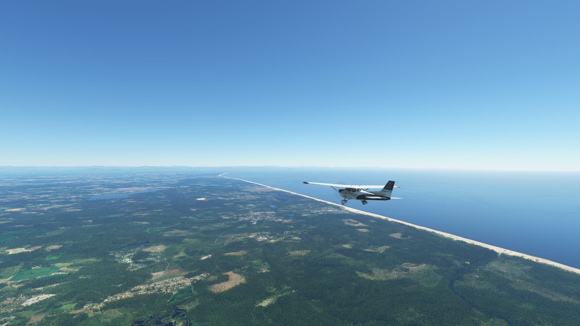
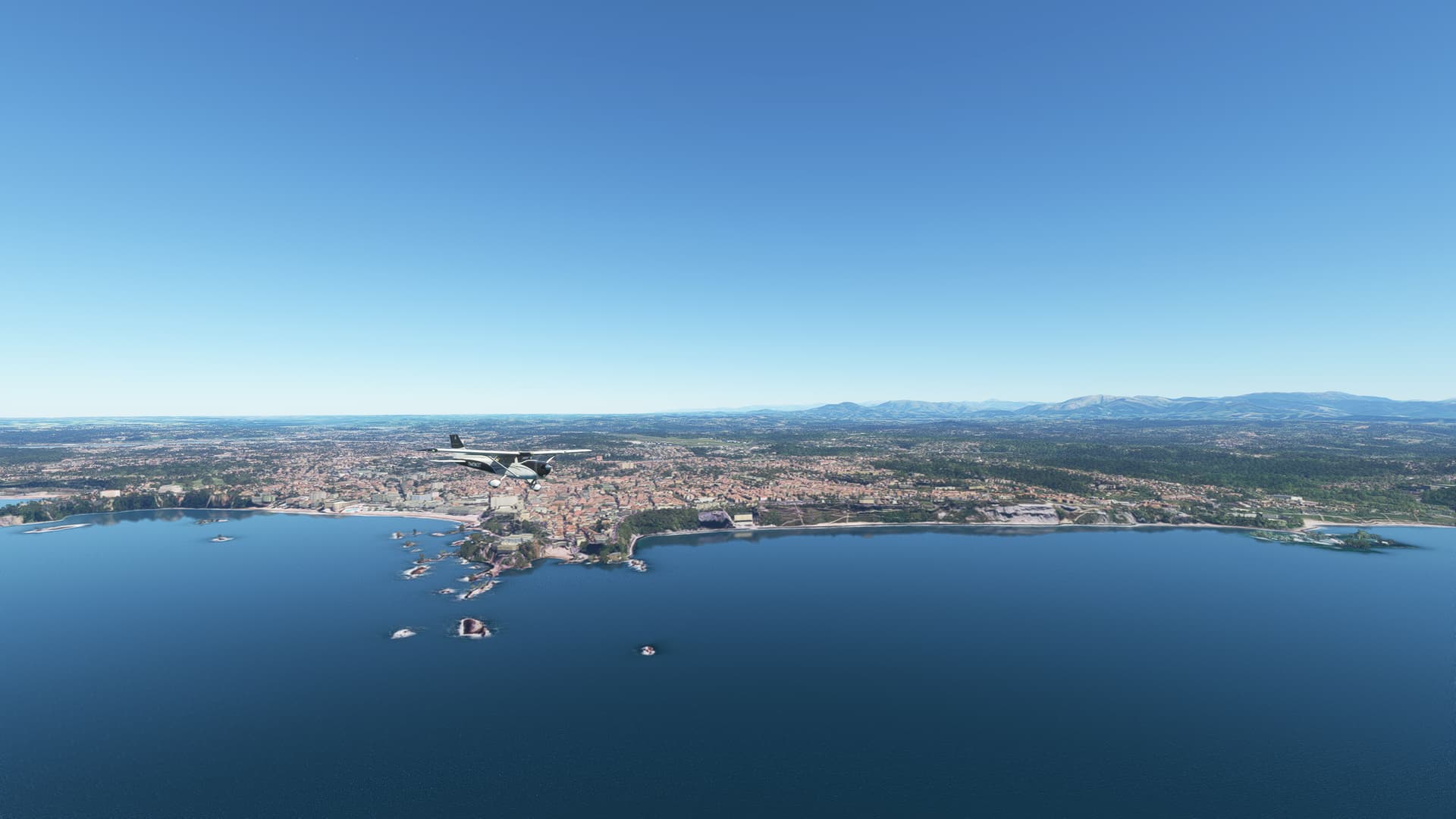
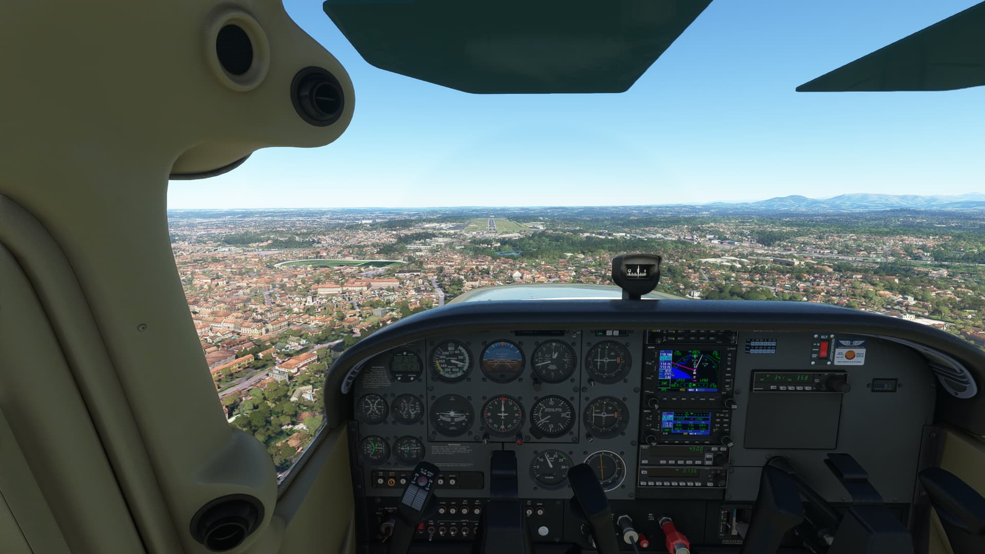
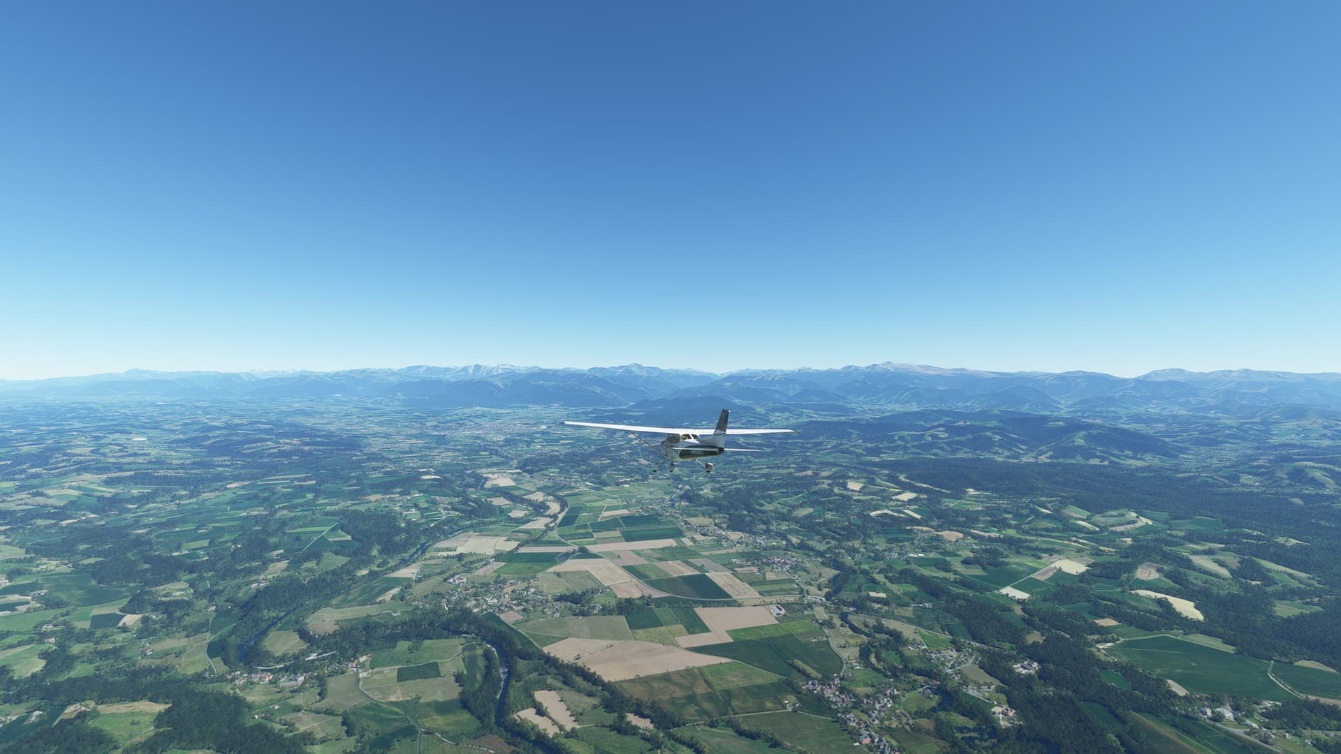
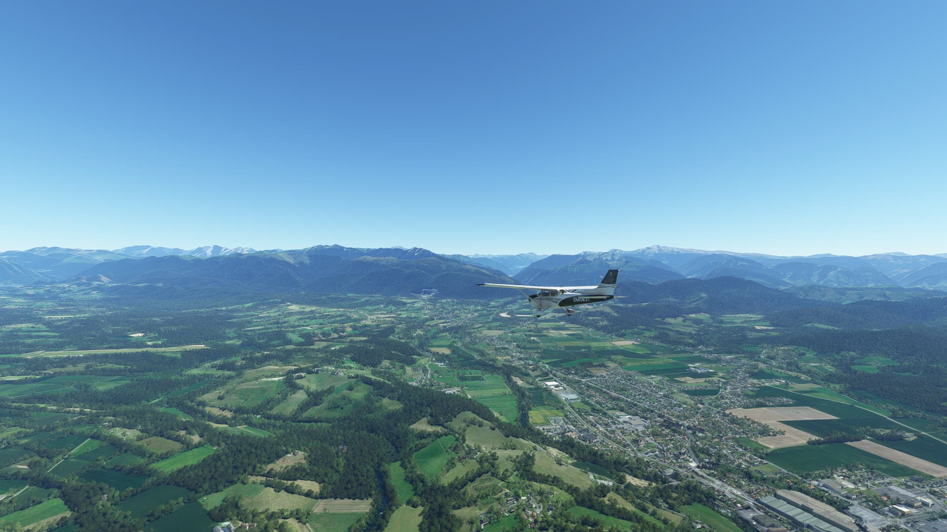
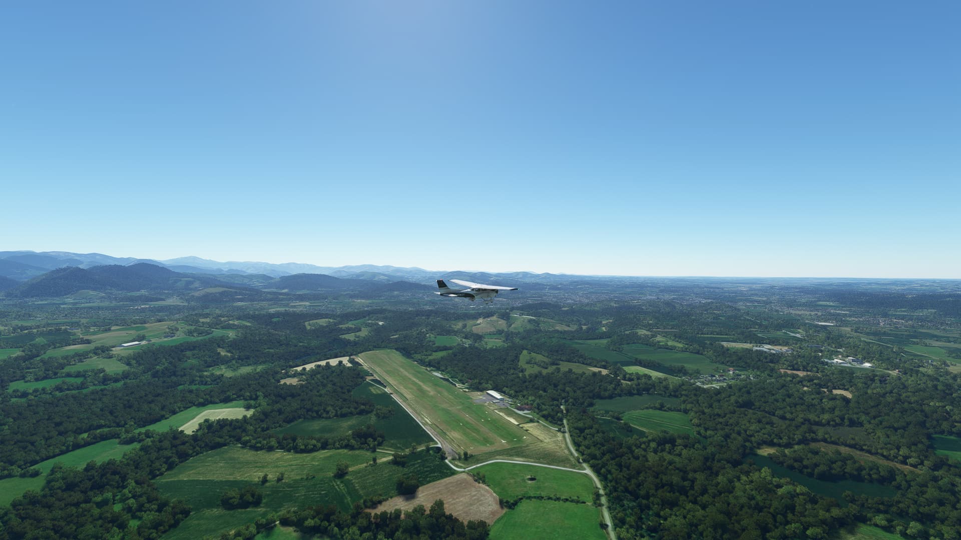
First 4 legs of the France bush-trip in WB-Sim C172 in real weather. LFCS ![]() LFCH
LFCH ![]() LFCZ
LFCZ ![]() LFBZ
LFBZ ![]() LFCO
LFCO
The sky was clear today, but it was hot summer day and lot of thermals. It was a bit challenge to keep C172 straight and level. At least navigation was easy. At first follow highway, then the coast and at last, follow river.

12 Likes
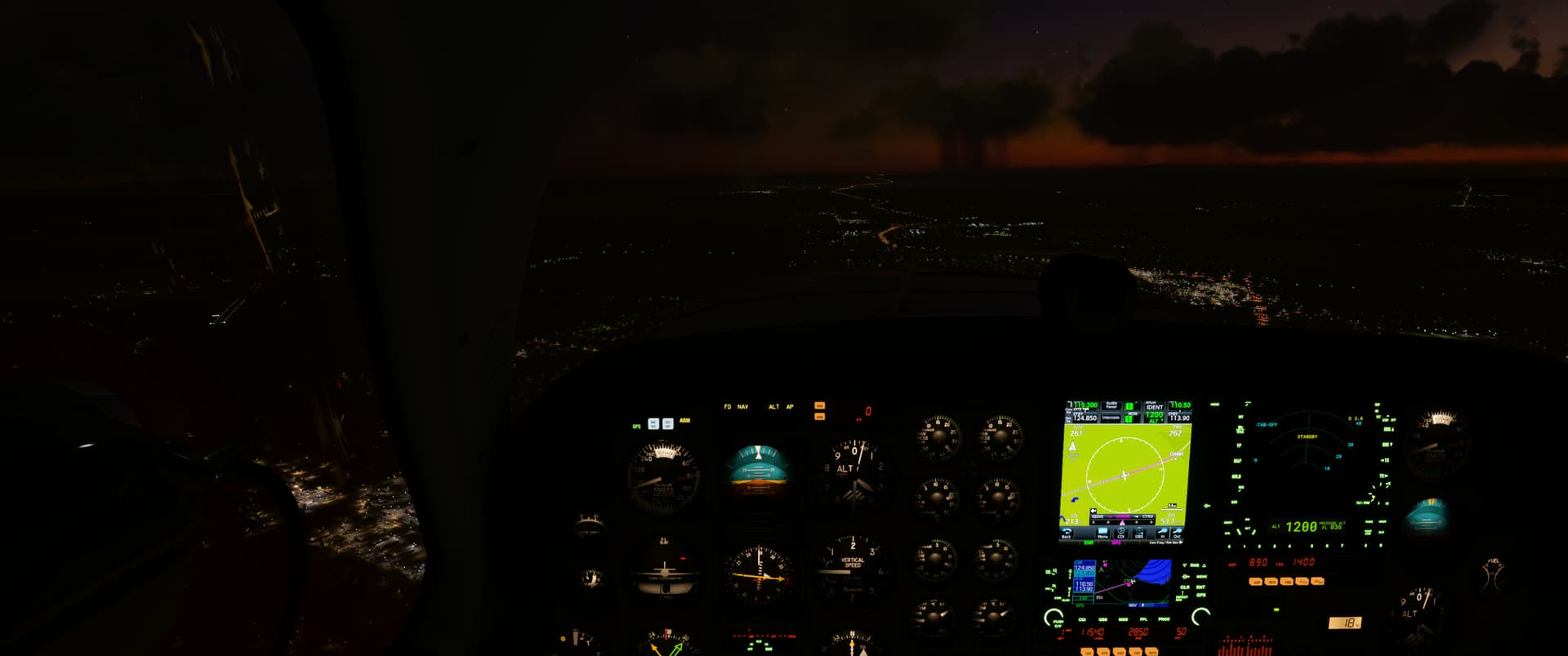
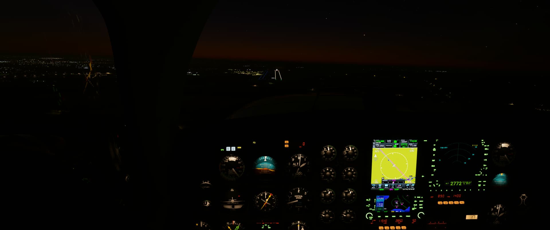
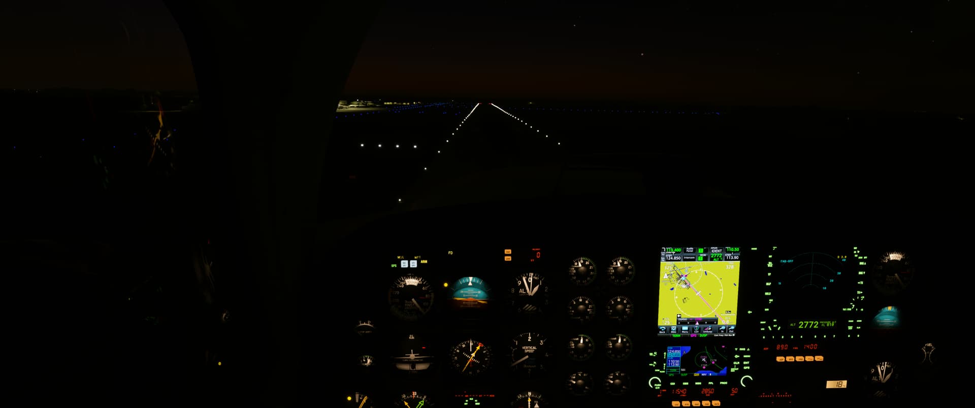
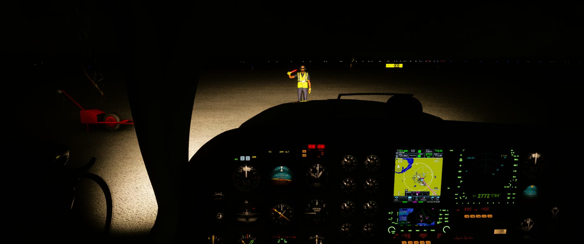
Living the ATP life this morning. Just a quick connector flight from KDSM to KMSP ![]() Not enough time to cleanse myself in the waters of Lake Minnetonka.
Not enough time to cleanse myself in the waters of Lake Minnetonka. ![]() Still a lot to learn on the Neo. Odd letting the computer do all the work. Flare still a struggle but I can get it down and leave it in good enough condition to make its next leg.
Still a lot to learn on the Neo. Odd letting the computer do all the work. Flare still a struggle but I can get it down and leave it in good enough condition to make its next leg. ![]()
9 Likes


8 Likes
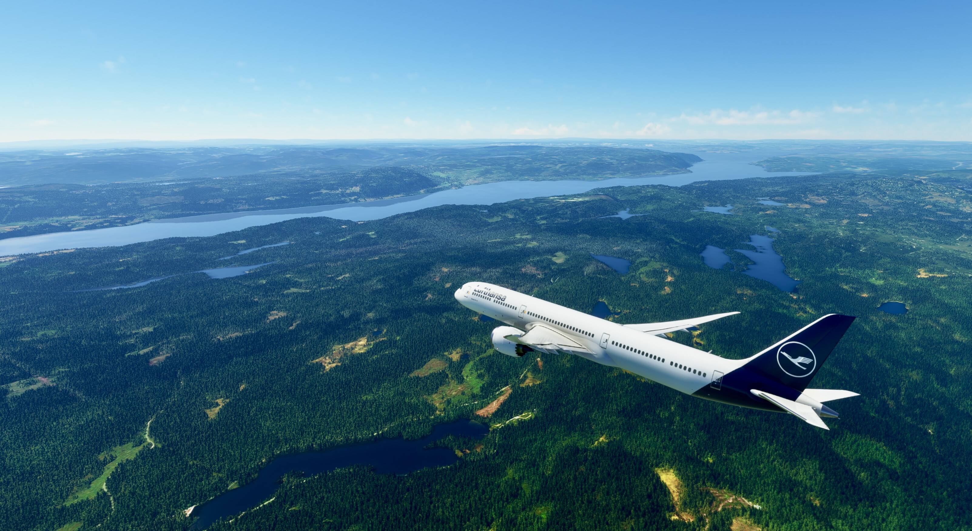
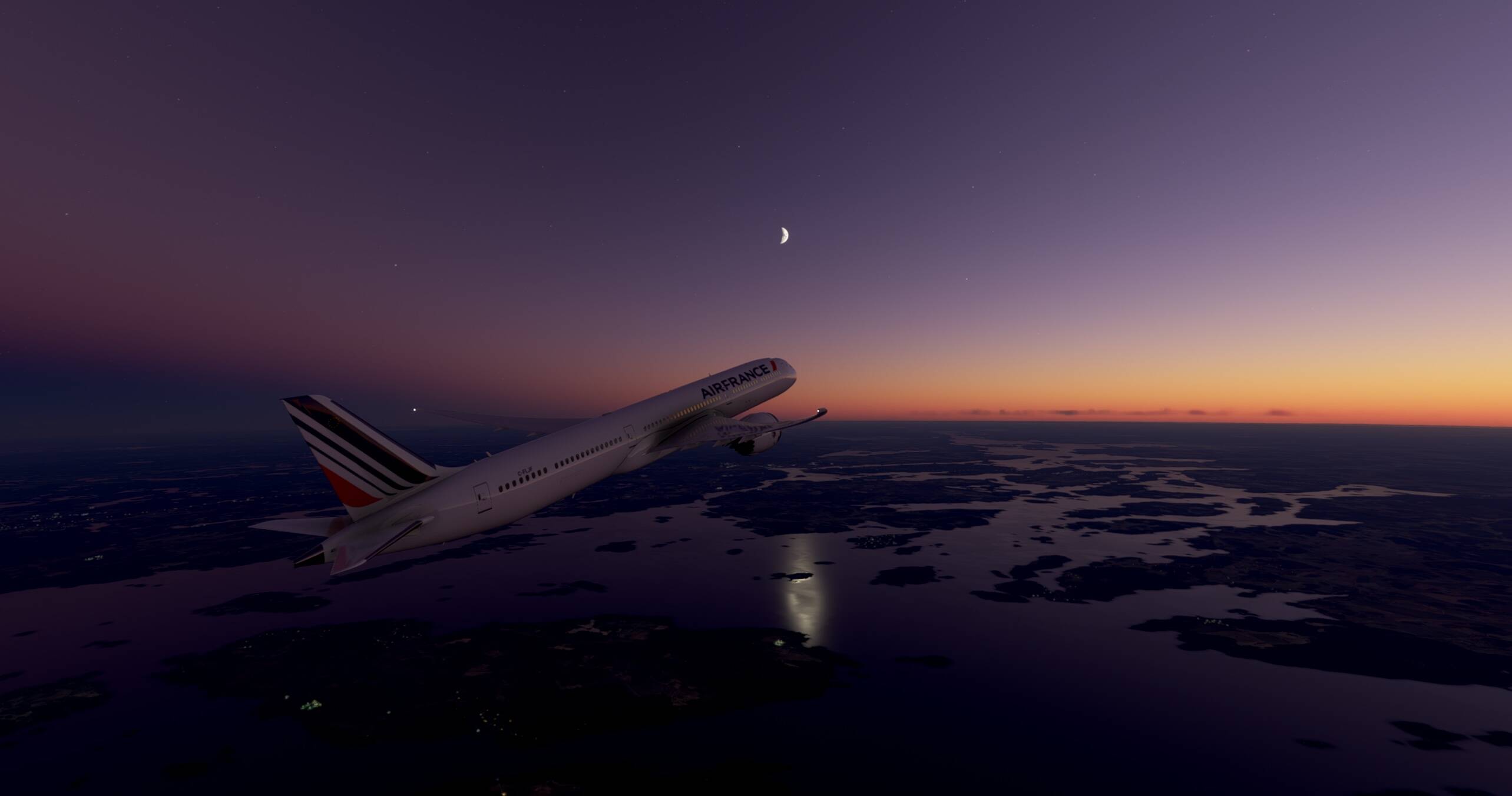
Flew the newly enhanced 787 from Malmo Sweden to Oslo.
A few kinks but overall, a much improved aircraft.
8 Likes
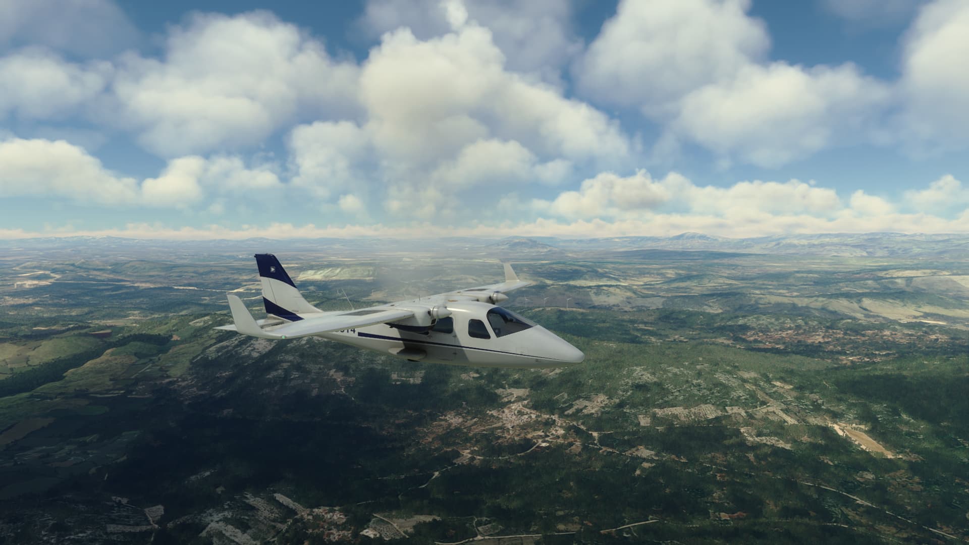
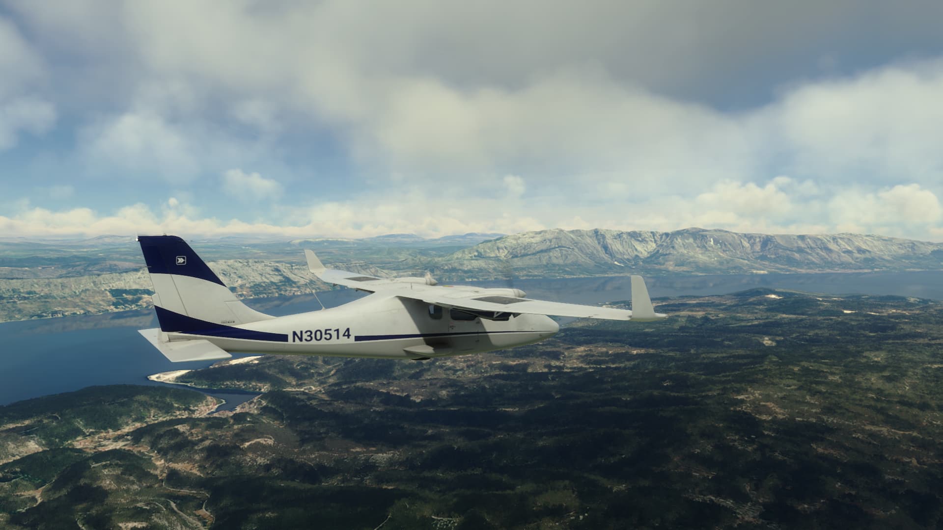
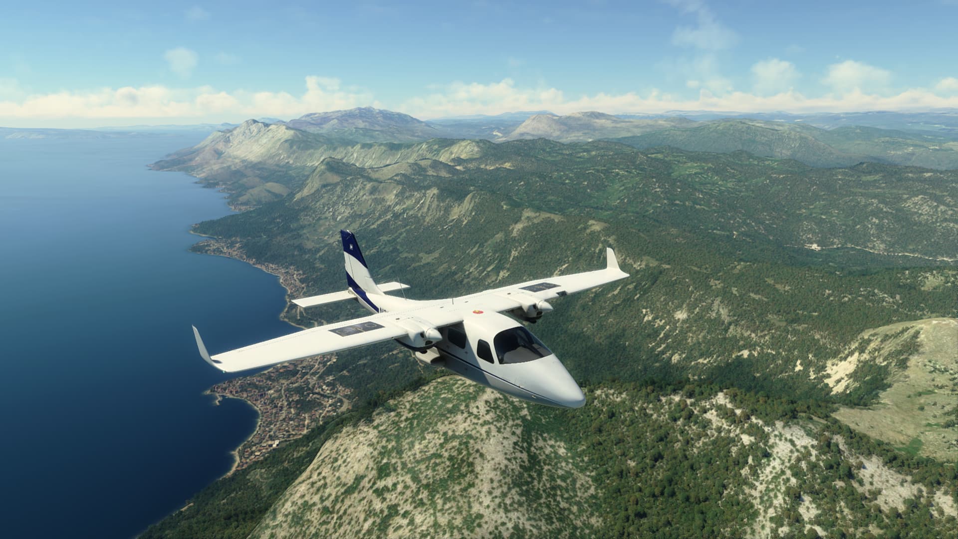
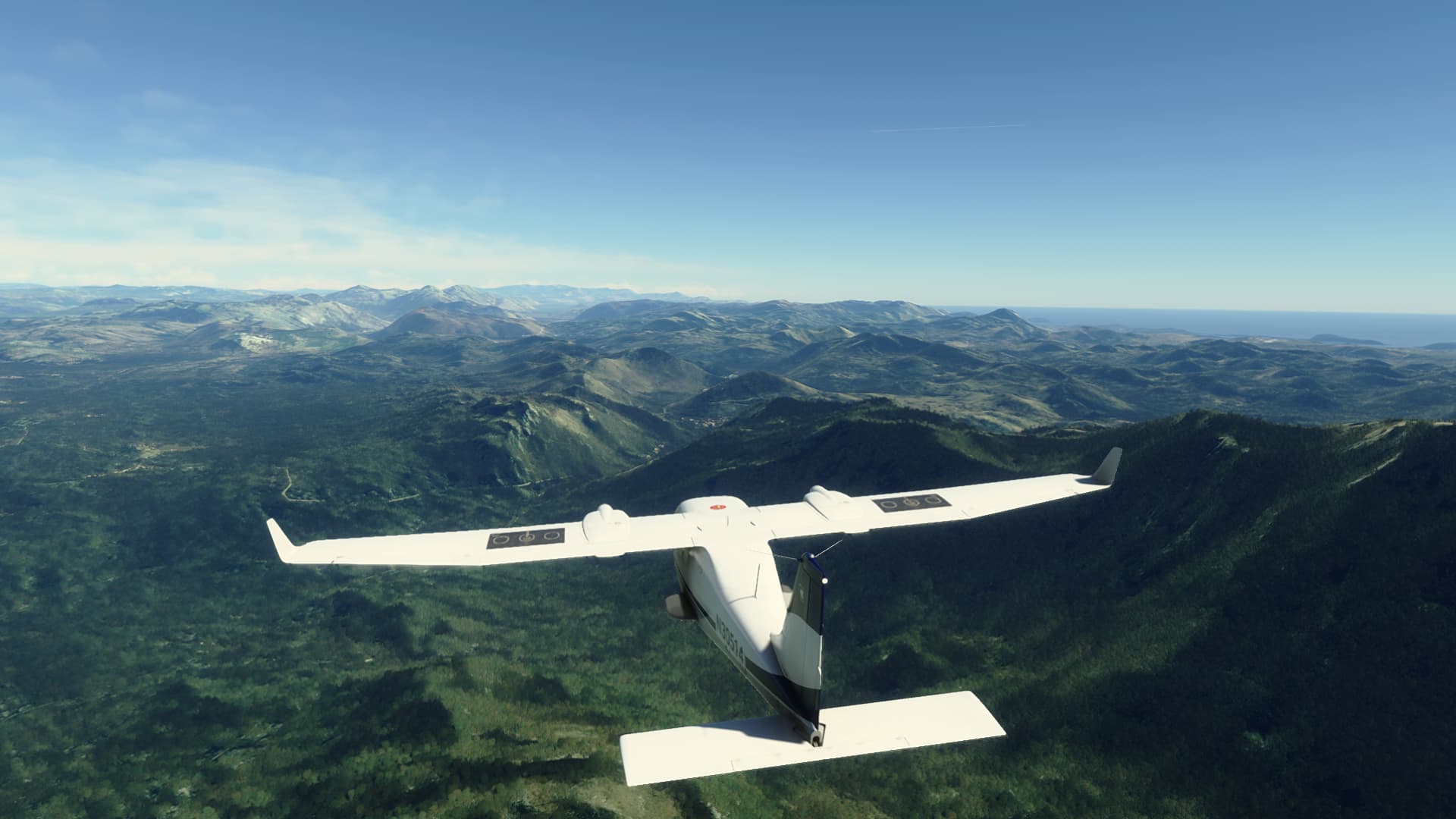
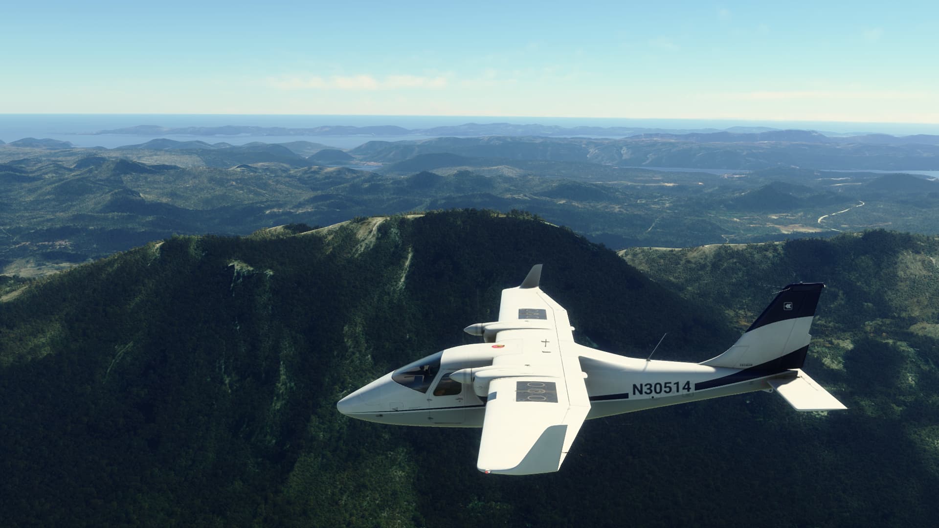
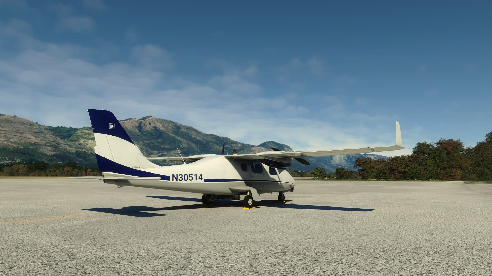
FSS Tecnam P2006t
1 Like
I’ll have to try it.
Thanks!
1 Like
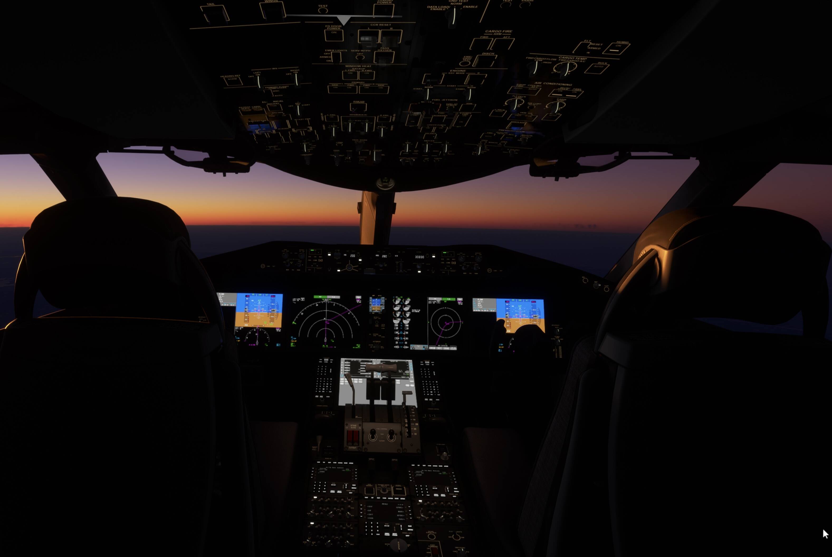
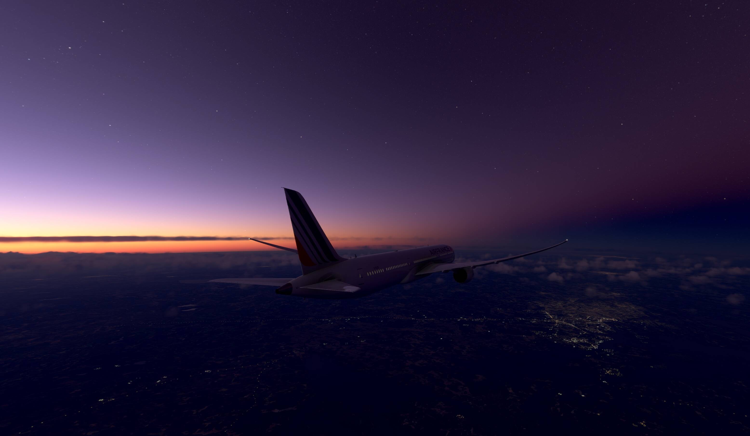
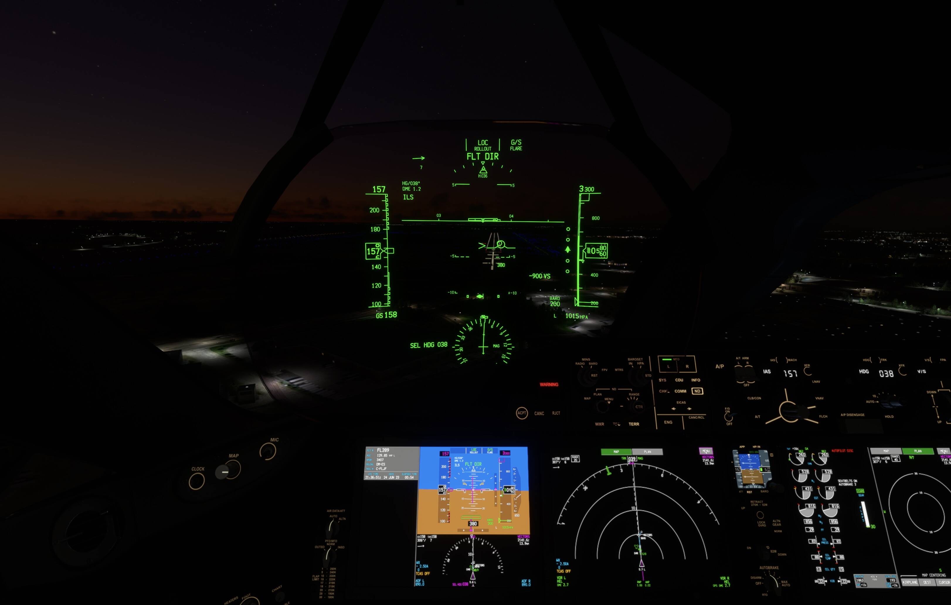
Night flight from Stockholm to Helsinki.
Beautiful flight aboard the 787
Flying over Turku
Landing in Helsinki
10 Likes
I’ve started a Epic flight in the JPLogistics C152.
I’m flying from Tongaa, S. Africa to Morocco. My journey started a bit late, from King Shaka Int’l (FALE)
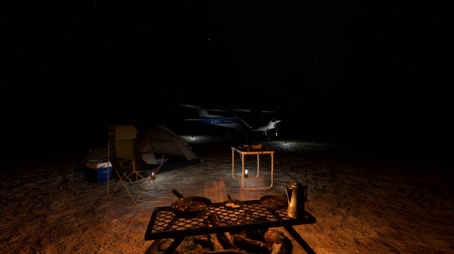
where after 2.5hrs I had to make a landing at Matekane Airstrip (FXME) on a small mountain top terrace in Ha Nahana to top up the tank. Due to rapidly fading light I decided to make camp for the night.
Now whilst I’m admiring the spectacular view of the Milky Way, I’m trying to decide whether tomorrow to head into Botswana or Namibia?
Such a pity that there’s no ambient sounds!
10 Likes
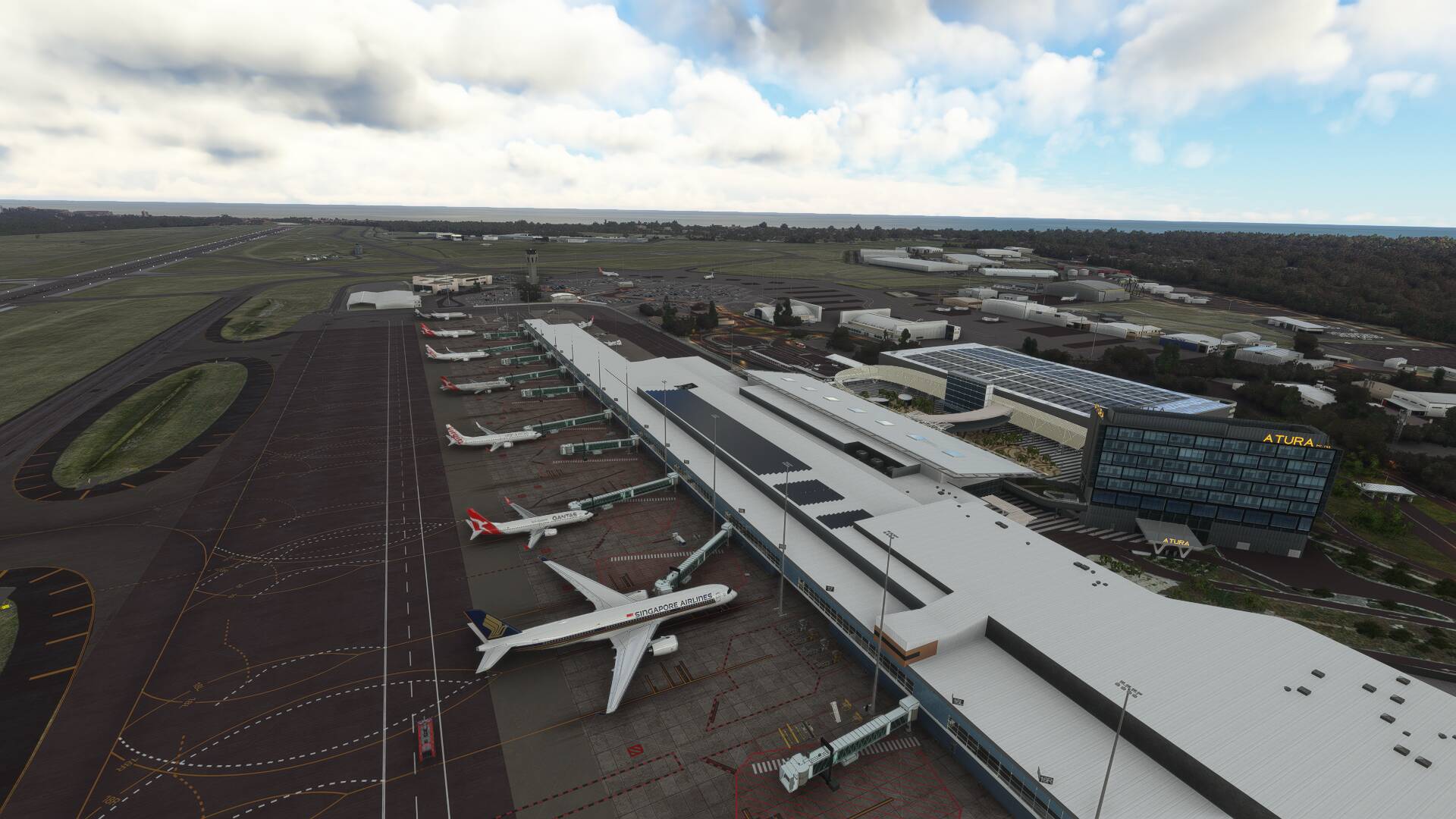
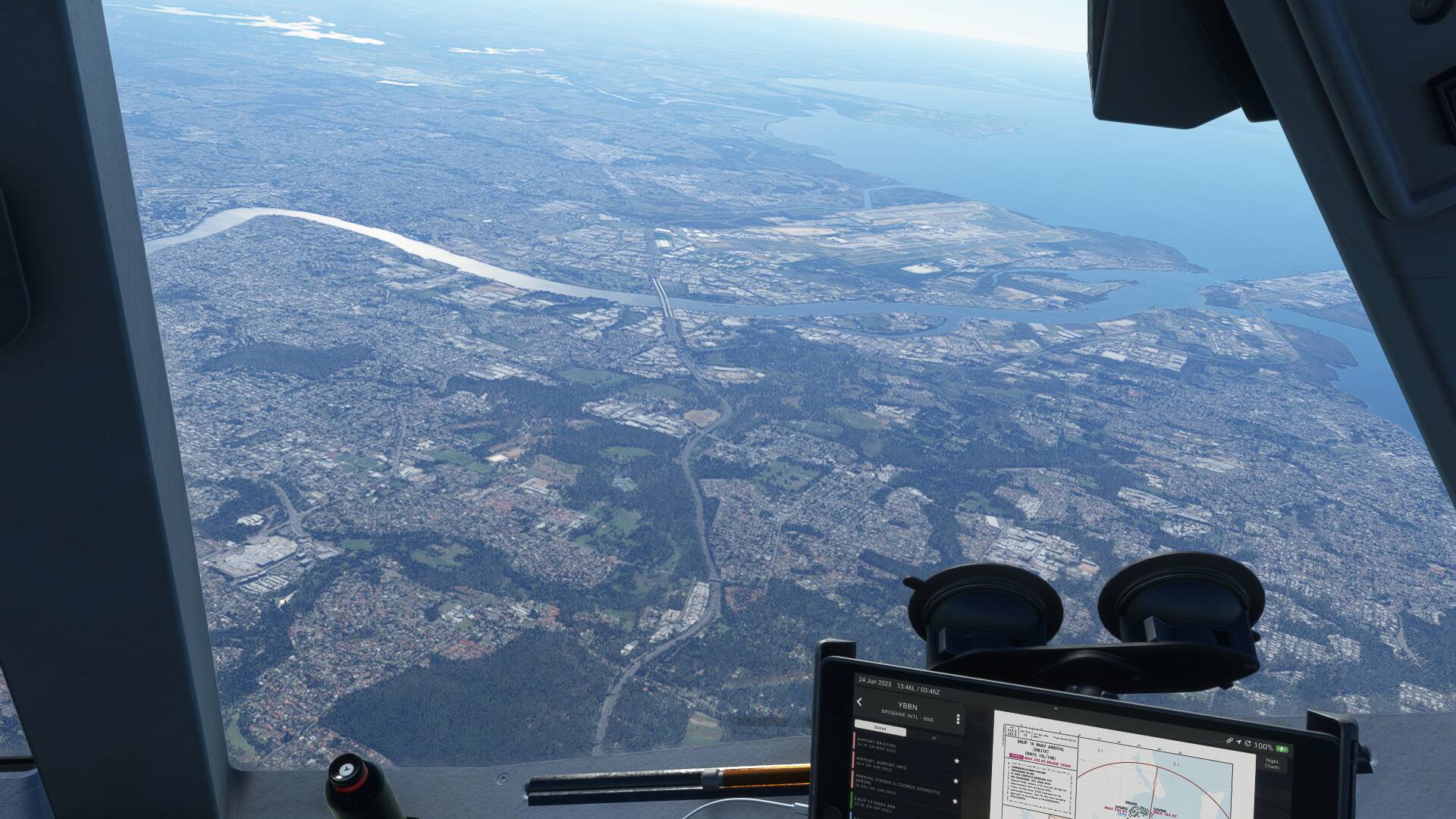
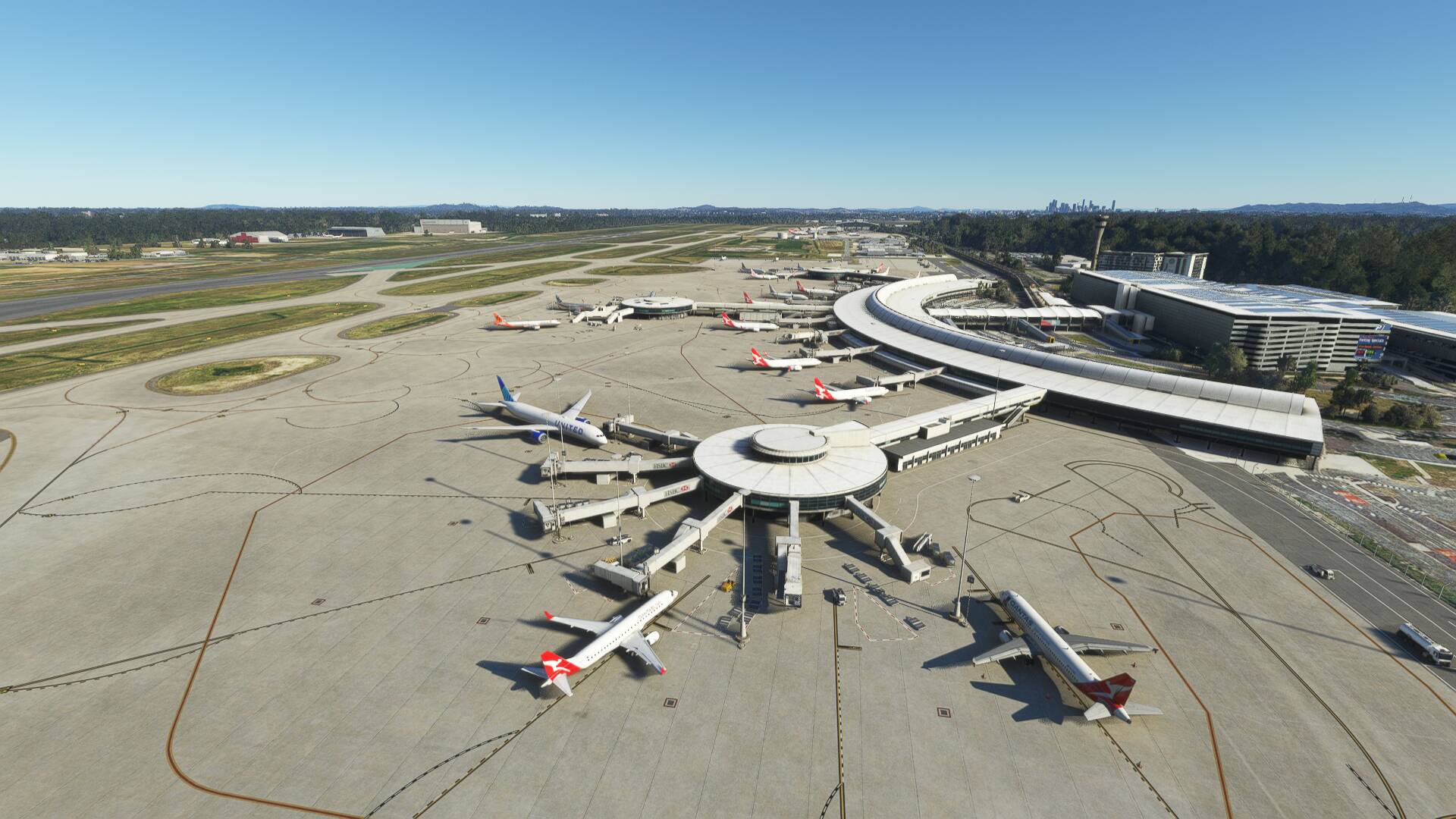
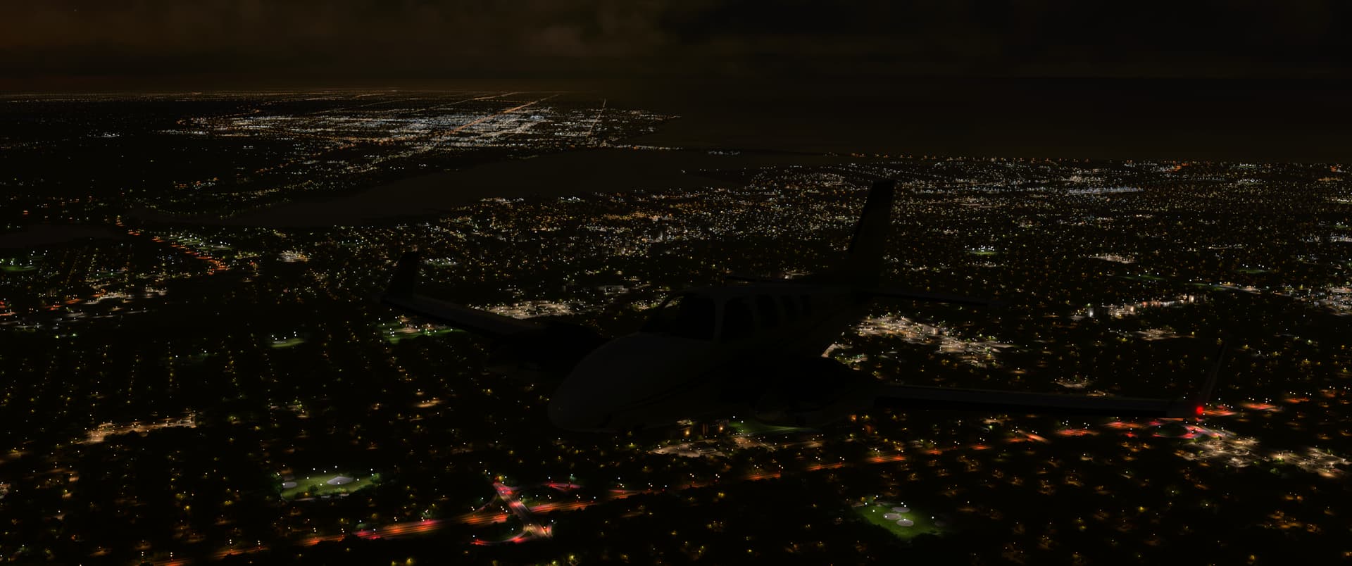
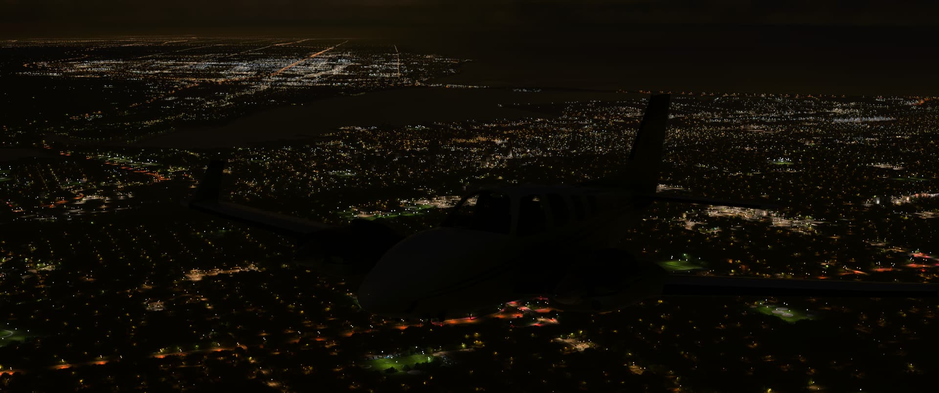
I’m the morning I had a great flight from YPAD Adelaide to YBBN Brisbane in the Fenix. There’s a free mod that dries out all of the flooded salt lakes so they look realistic at last.

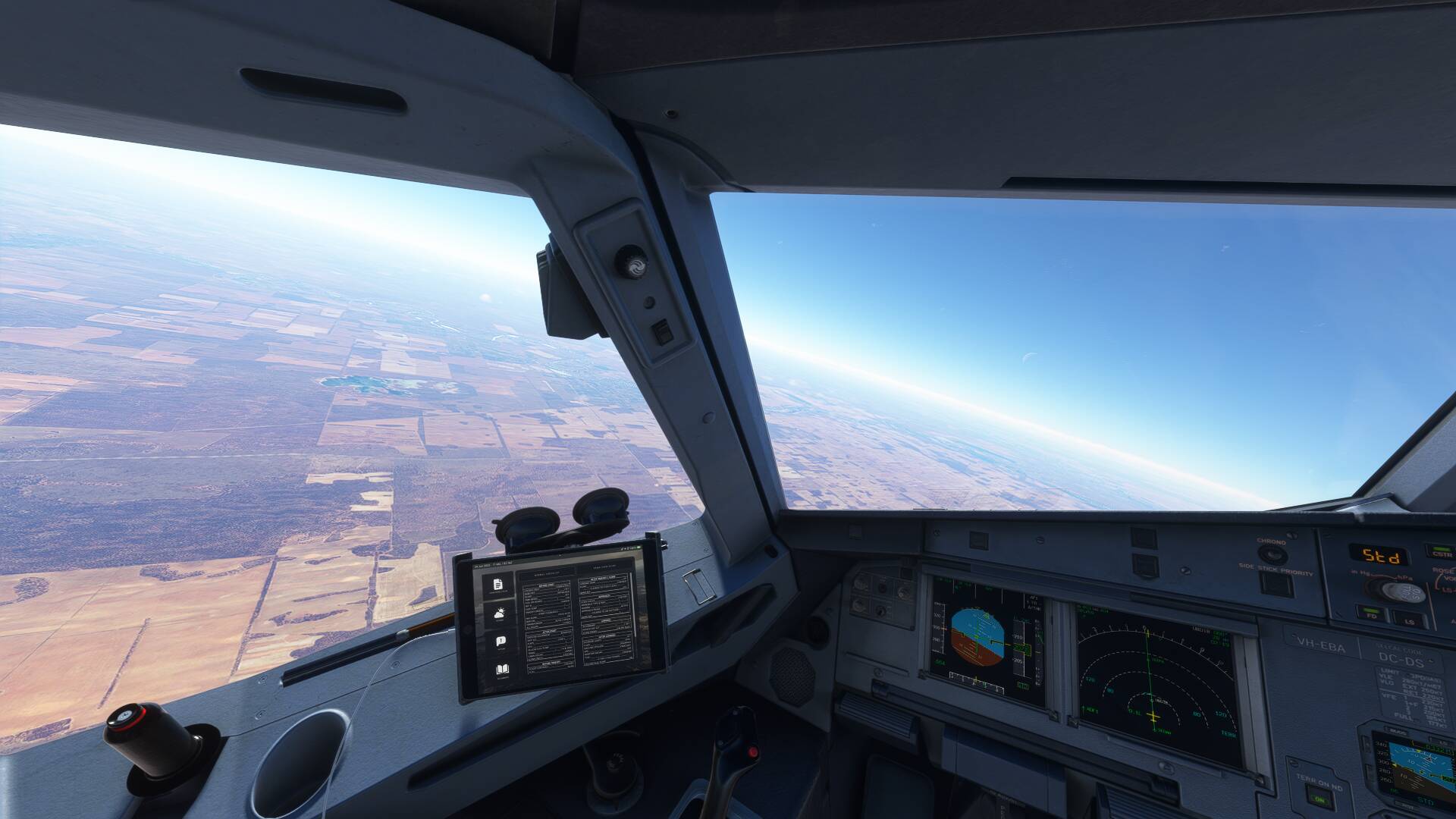
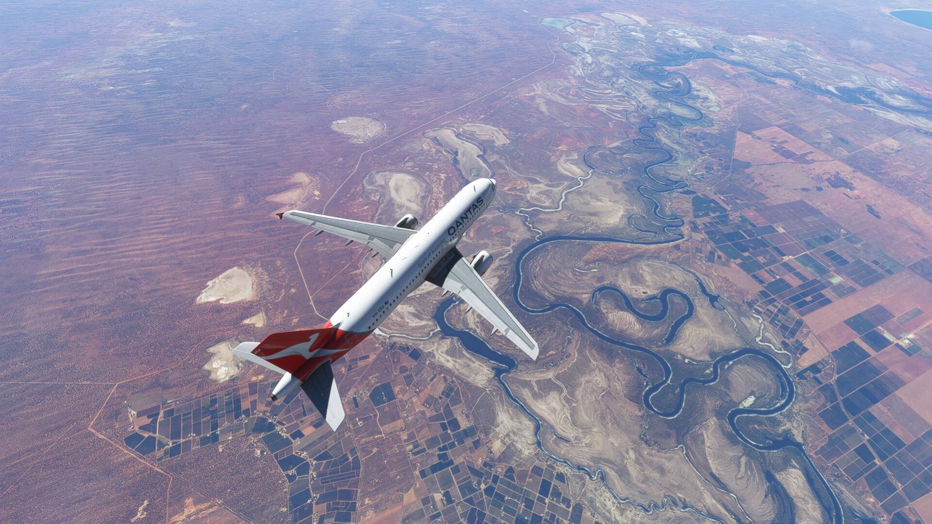
130kt cross wind at cruise level made quite the crab angle.
The evening turned into hours of fiddling and trying to fix problems and make stuff work on my PC, kind of why I went the xbox route before, because I just want it to work without all of the hassle. I didn’t get any more flying in.
You may notice the lack of ground services on this flight, I certainly did. I eventually tracked this down to a broken freeware mod, one among hundreds. Along the way I also decided to buy GSX Pro which looks good but after several hours of effort no joy for me. Between the installer and the application I’ve not dealt with such a buggy mess for a long time, so next I’ll be finding out how good their tech support is. Hopefully I don’t end up regretting this one.
11 Likes

Flew a delta flight on the latin A320 214 from Key West Florida to Atlanta because oddly enough I haven’t really flown that much around the Atlanta area, however I had to use the a320 because they don’t have a released a220 yet
3 Likes
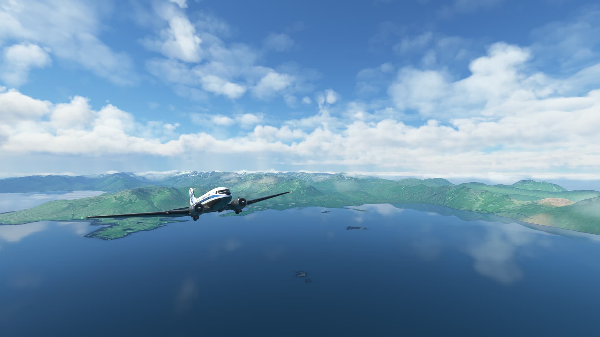
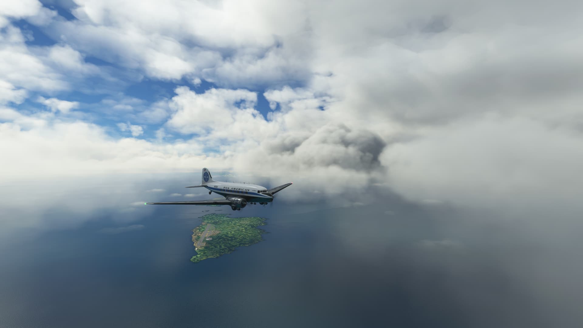
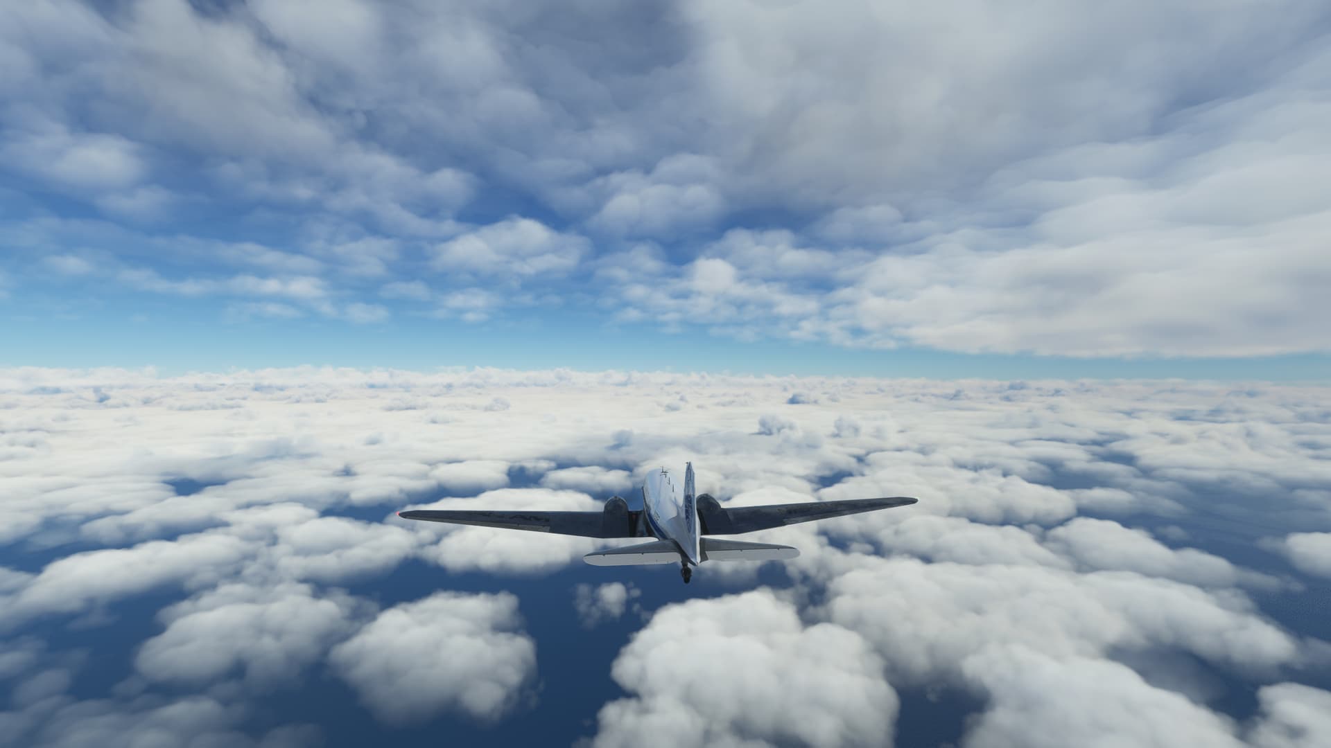
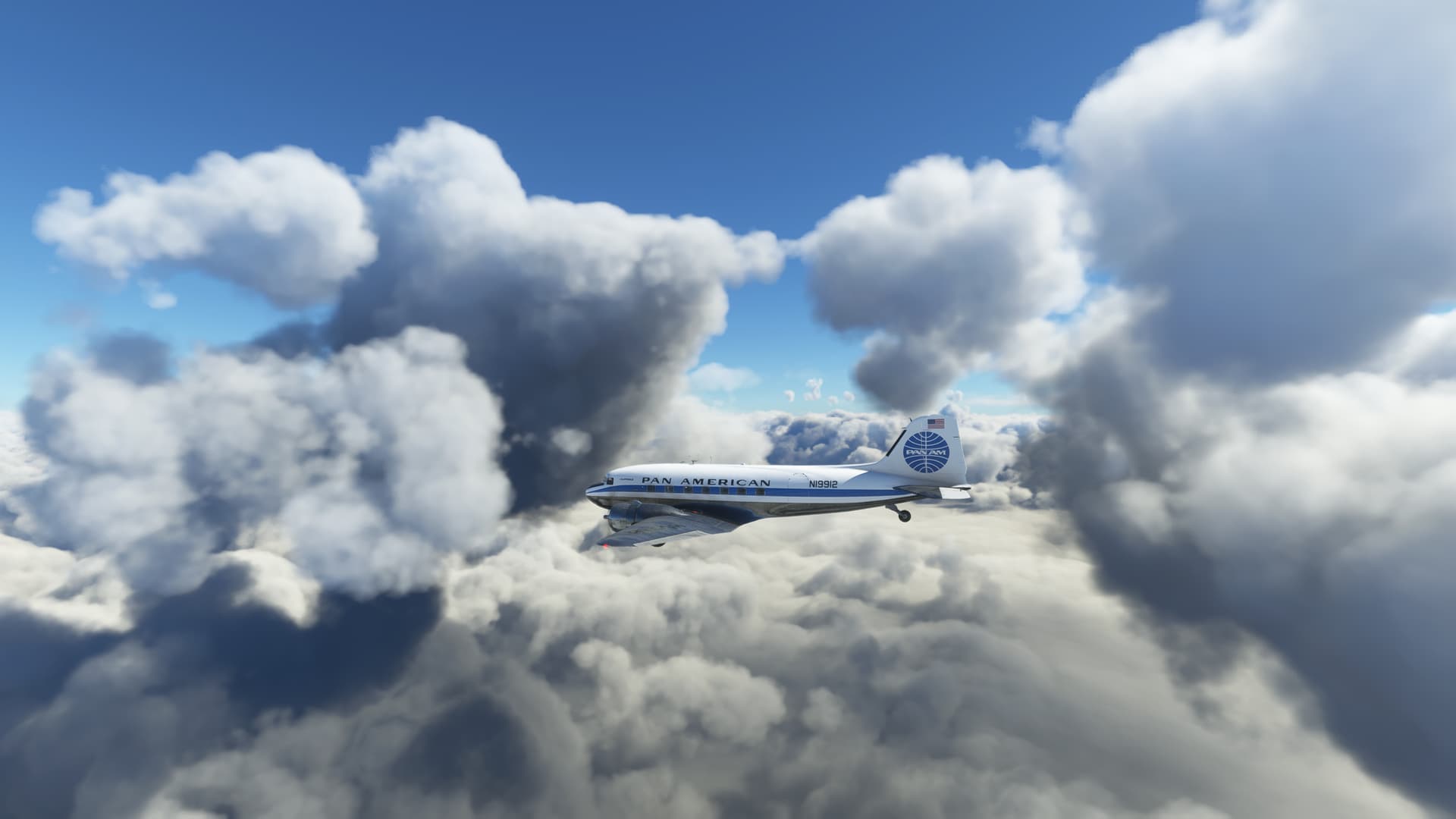
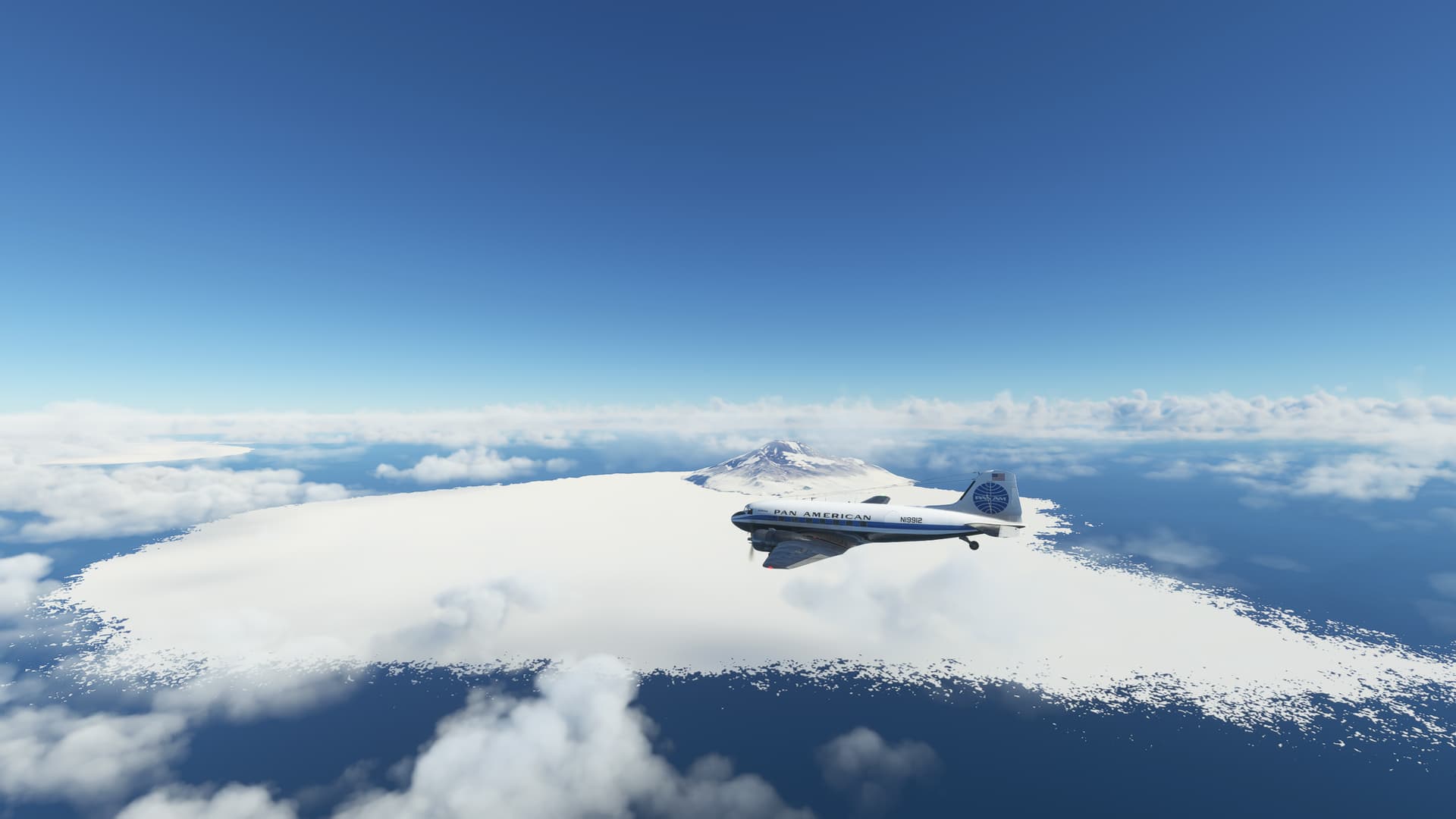
After not so successful last leg with not enough fuel I got stuck on small island (Attu Island) for 2 weeks with bad weather. Today I found small window with nice weather so I did leg 23 in DC-3 around Pacific ocean: PAAT ![]() PADK
PADK
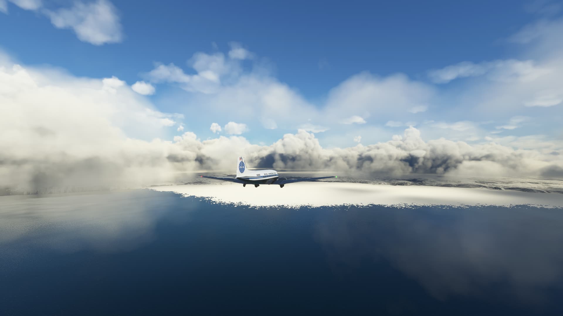
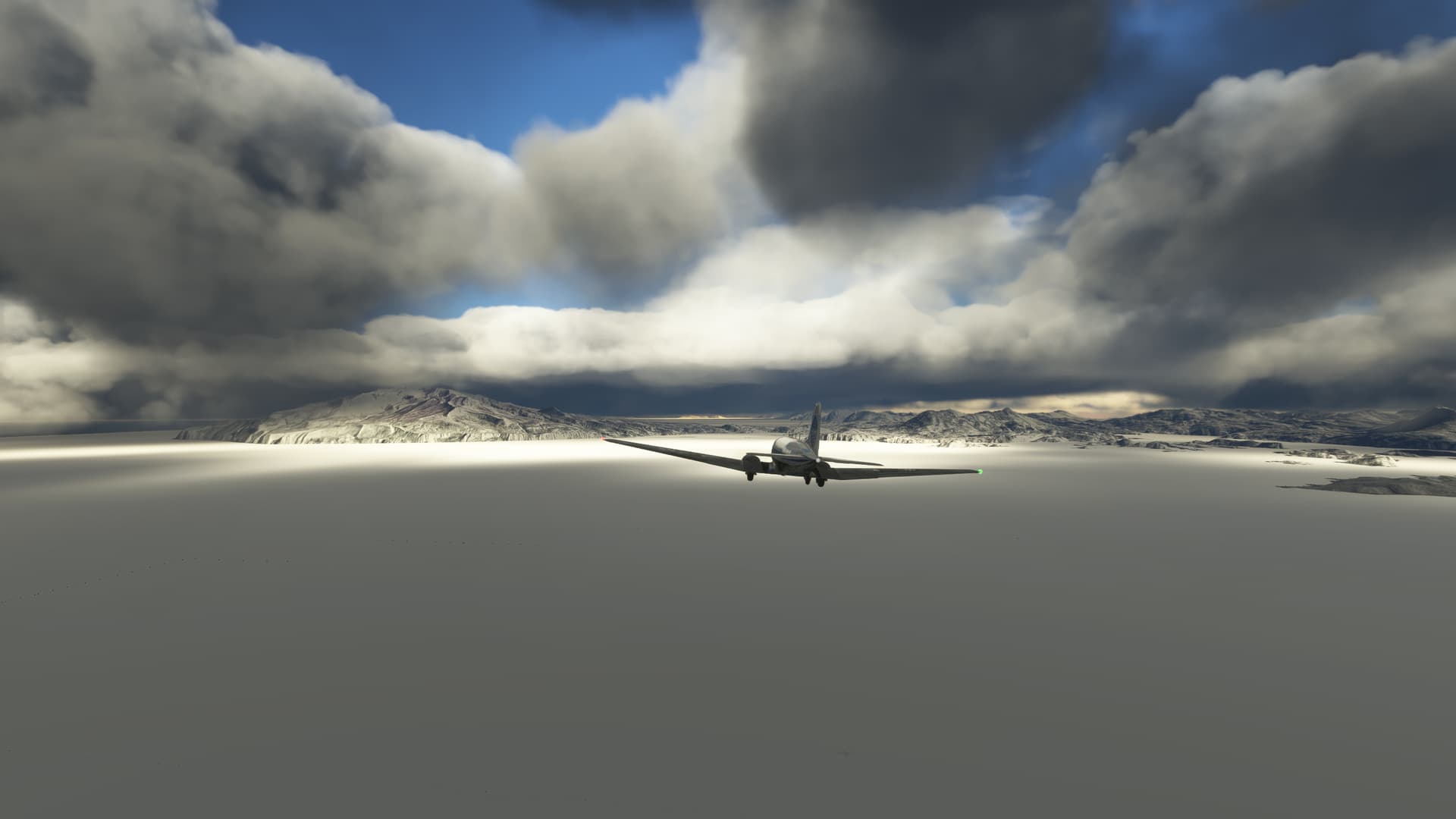
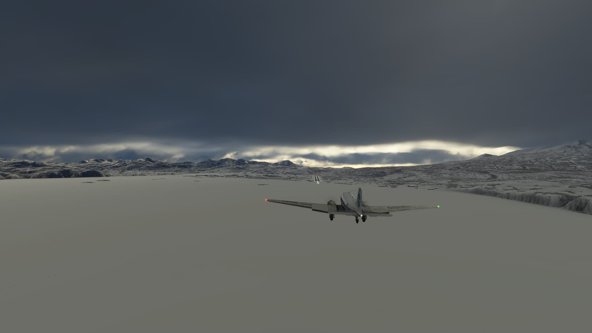
There was nice weather at departure, there was supposed to be ok weather at destination, but not in between. So I filed for IFR plan. Although, I planned only part of the flight IFR. The destination approach required DME for missed approach and I don’t have DME in DC-3. So I did first part of the flight using VOR navigation. Then clouds broke and I could see some islands as navigation cues. It was good, because I lost signal of VOR. Well, there was island and I couldn’t match it to anything in the map. I thought I was lost. But then I realized it was much smaller island with iceberg around. And I found out I was exactly at the place, where I was expecting to be. I cancelled by IFR and continued VFR. But the destination airport reported 2000ft sealing overcast. So I had to get bellow that before reaching destination.
There was some icing on the way. But windshield deicer worked well.
Also in the previous leg I crossed the day time zone. I flew from Japan time zone (UTC+9) to Hawaii-Aleutian DST (UTC-9). I returned 1 day in the time. But in this leg I returned one day even geographically, because I crossed antimeridian. That marks half of my trip, I guess.


11 Likes
After a couple of beers, and my mind made up, I hit the sleeping bag for an early night.
Whilst I was drifting off to sleep thinking about the journey ahead of me it suddenly hit me..
Here I am camping on top of a mountain is South Africa, and the night sky is all wrong!
It’s the night sky of the Northern Hemisphere. Above my head is Polaris (Northern Star), and Ursa Major (the Great Bear). with that I dozed off!
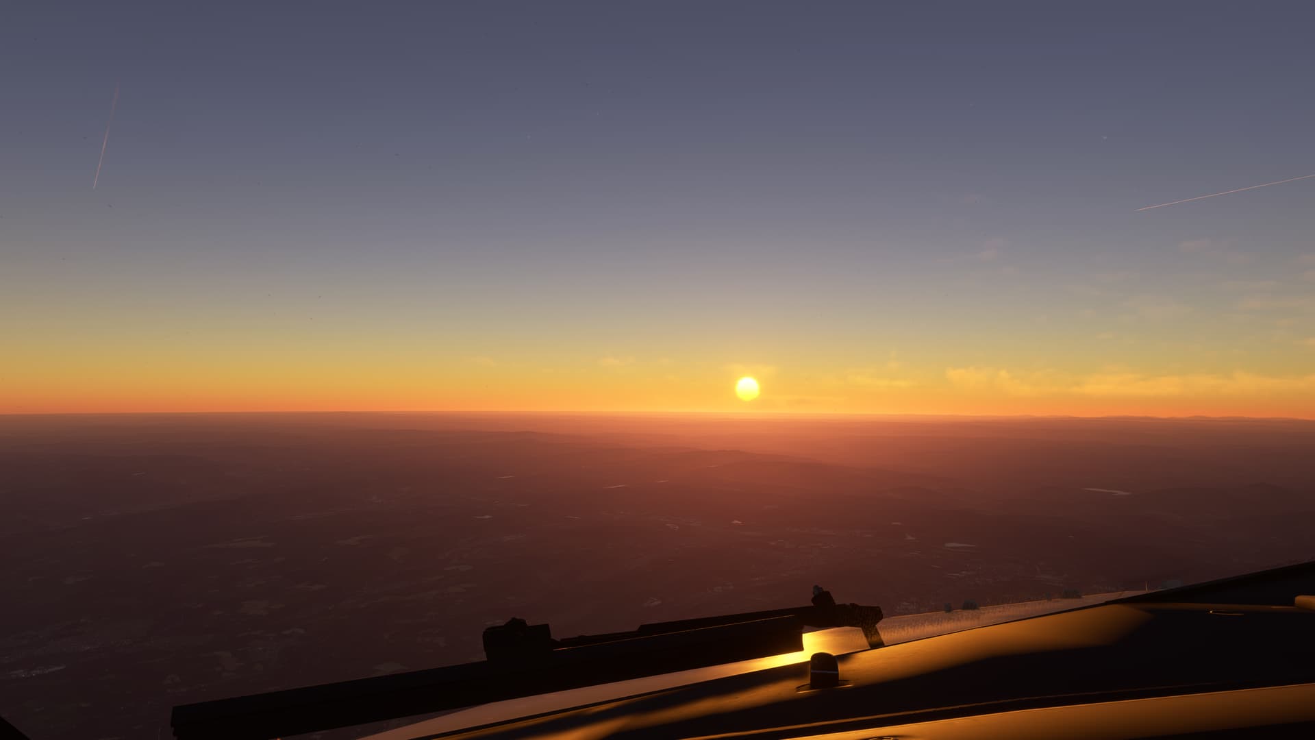
I wakened early at 5:30am (local time) to a beautiful sunrise. After a coffee and last nights leftovers for breakfast, I checked the plane over, packed and stowed all my gear into the plane, started the engine, set my course, and at 7am I hit the skies, and started my 415mile journey to Upington (FAUP) on route to Namibia.
10 Likes