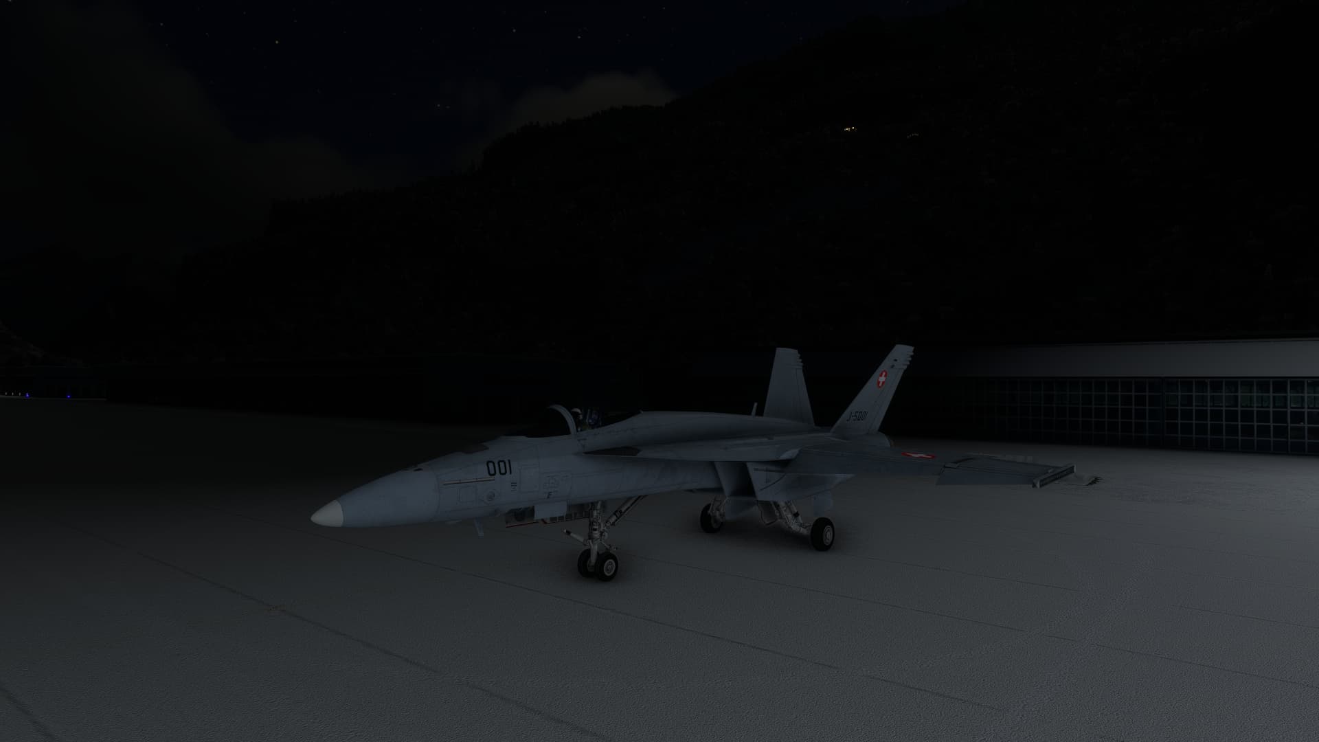
Fort MacKay and Athabasca River, Alberta, Canada last evening - real-time, real-weather

6 Likes

What scenery for Bloem is that? I flew there with the default, and it was not so nice?
Felix Airport To Nnamdi Azikiwe in the Fokker F28 4000 late last night
1 Like

9 Likes


18 Likes
Nnamdi Azikiwe To Maya Maya in the Fokker F28 4000
1 Like
It’s payware and I think it was Caelus Aerial, though I’m not in front of my rig so I’m not 100% sure
1 Like
Thanks. Yes it is Caelus Aerial. Many thanks.
Haha… good point!
A post was split to a new topic: Can’t Find Sim Download Link
Congratulations on your rudder pedals. Yes, it will take some time to get used to it. But then it’s not possible to go back.
Also I use now twist to look left-right. Just a tip.


Flew to Crater Lake in Oregon. The product of a massive volcanic eruption 7000 years ago, it’s pretty big and very deep.

On approach it doesn’t look all that big but once you’re over it …
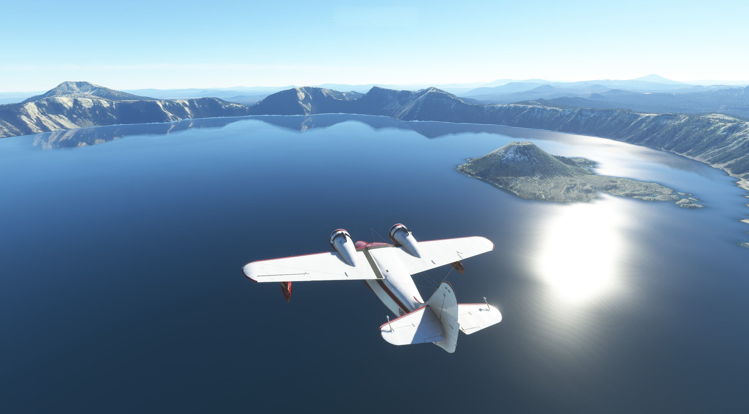
… it seems a little bigger.
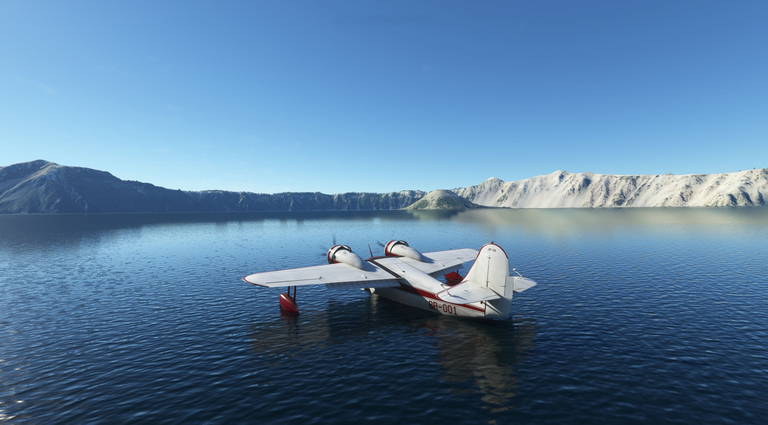
Landing was a slightly nervous experience because the surface is pretty calm and judging my height above water was basically guesswork. Hey, if I recall correctly from the DC3 they did actually have radar altimeters in the 1930s! Why did nobody tell Grumman?
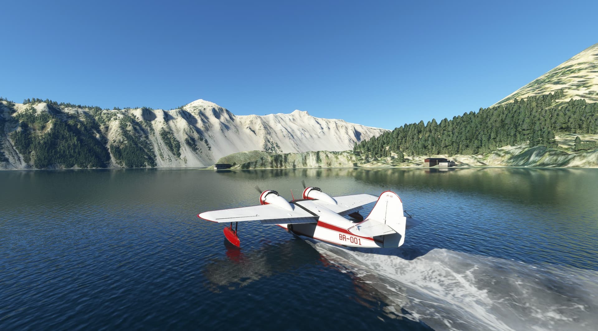
The buildings in this shot are boathouses IRL, located on the lake’s Wizard Island - you can see the slipways in Bing Maps. Apparently there are boat trips on the lake during the summer. What I couldn’t see, either in the sim or in Bing maps, was how people get down from the car park on the other side of the crater rim to the cove where they pick up their lake ride.
The lake is five miles by six so finding enough water for take-off wasn’t too difficult. Just remember that you also need some distance for the climb-out over the crater rim. It varies in height, but it’s always at least a bit high, so pick your direction wisely and leave yourself room to climb over it.
11 Likes
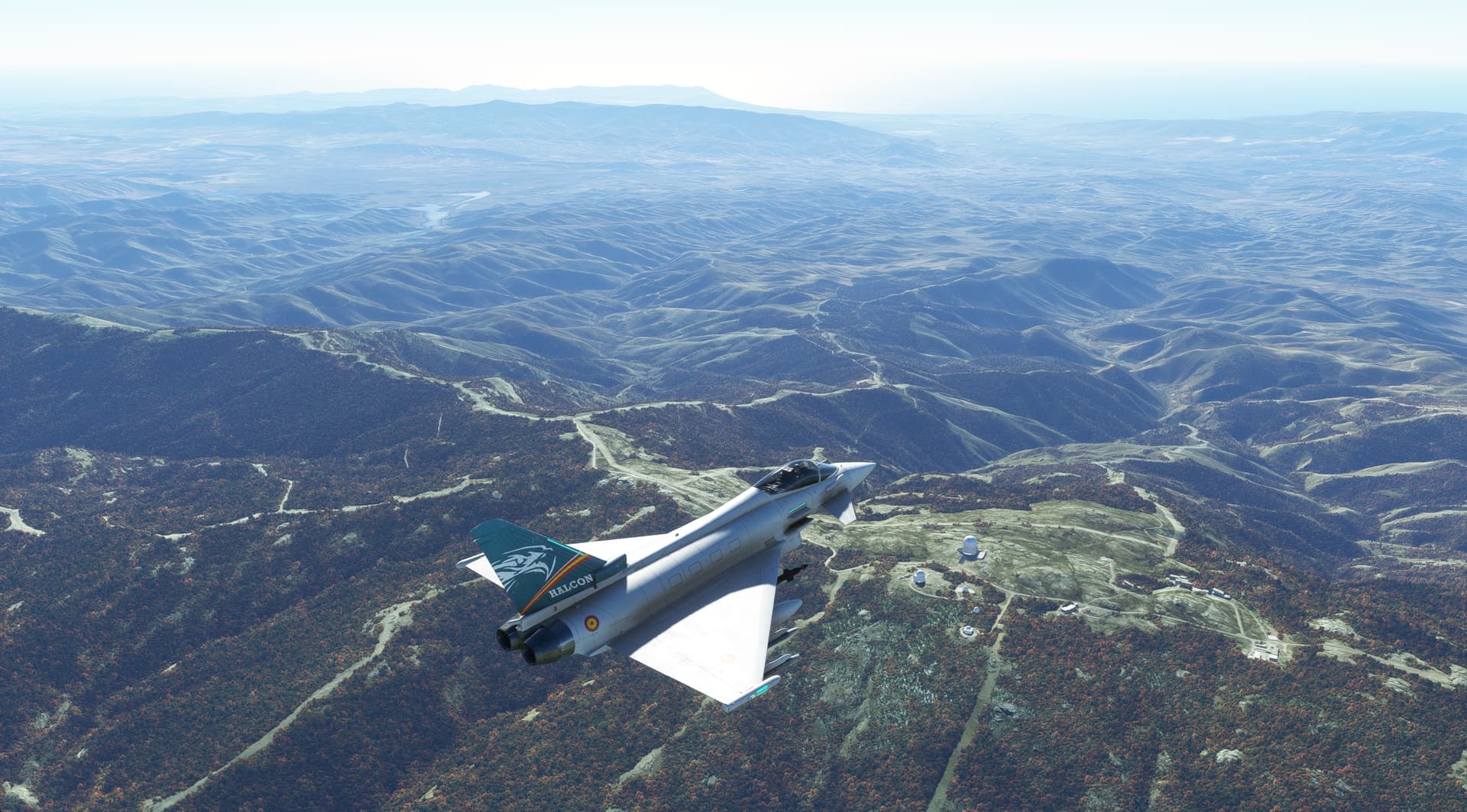
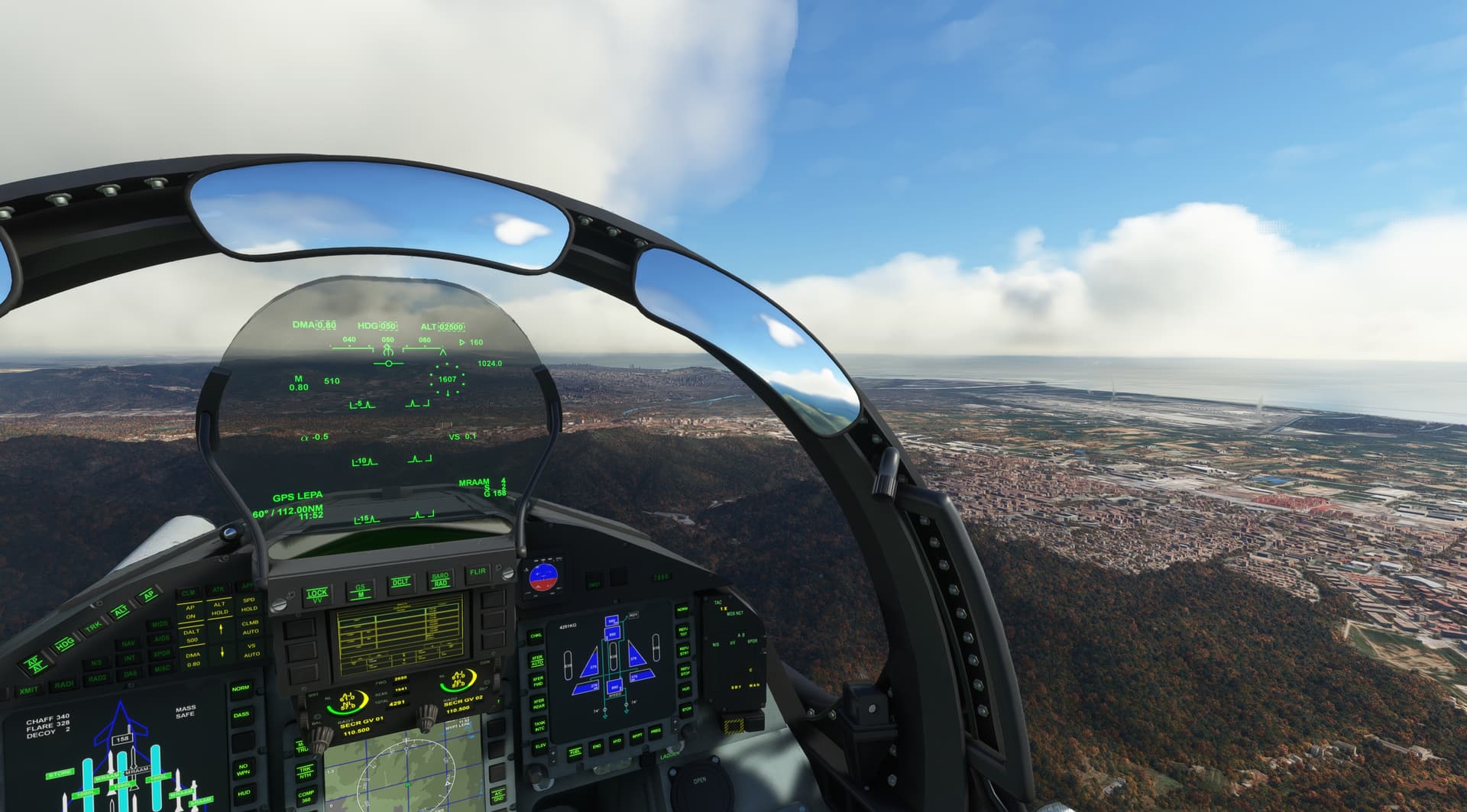
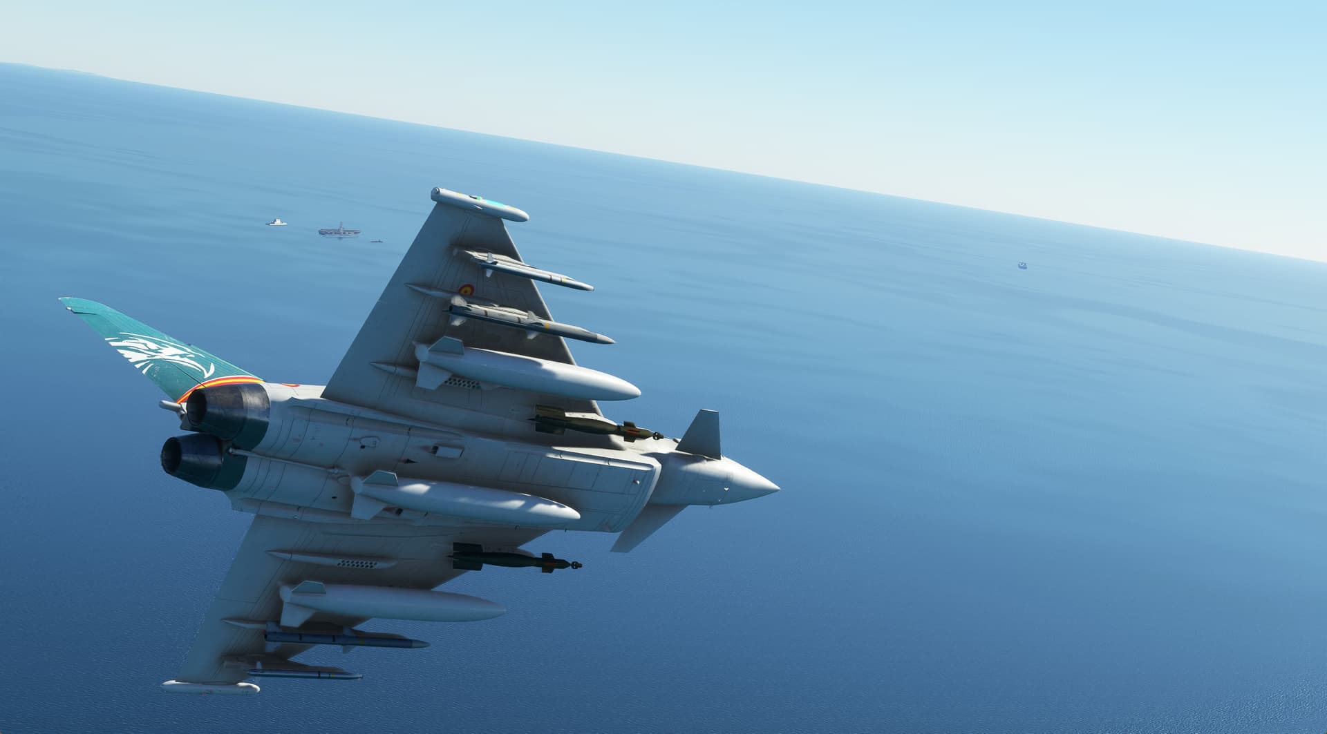
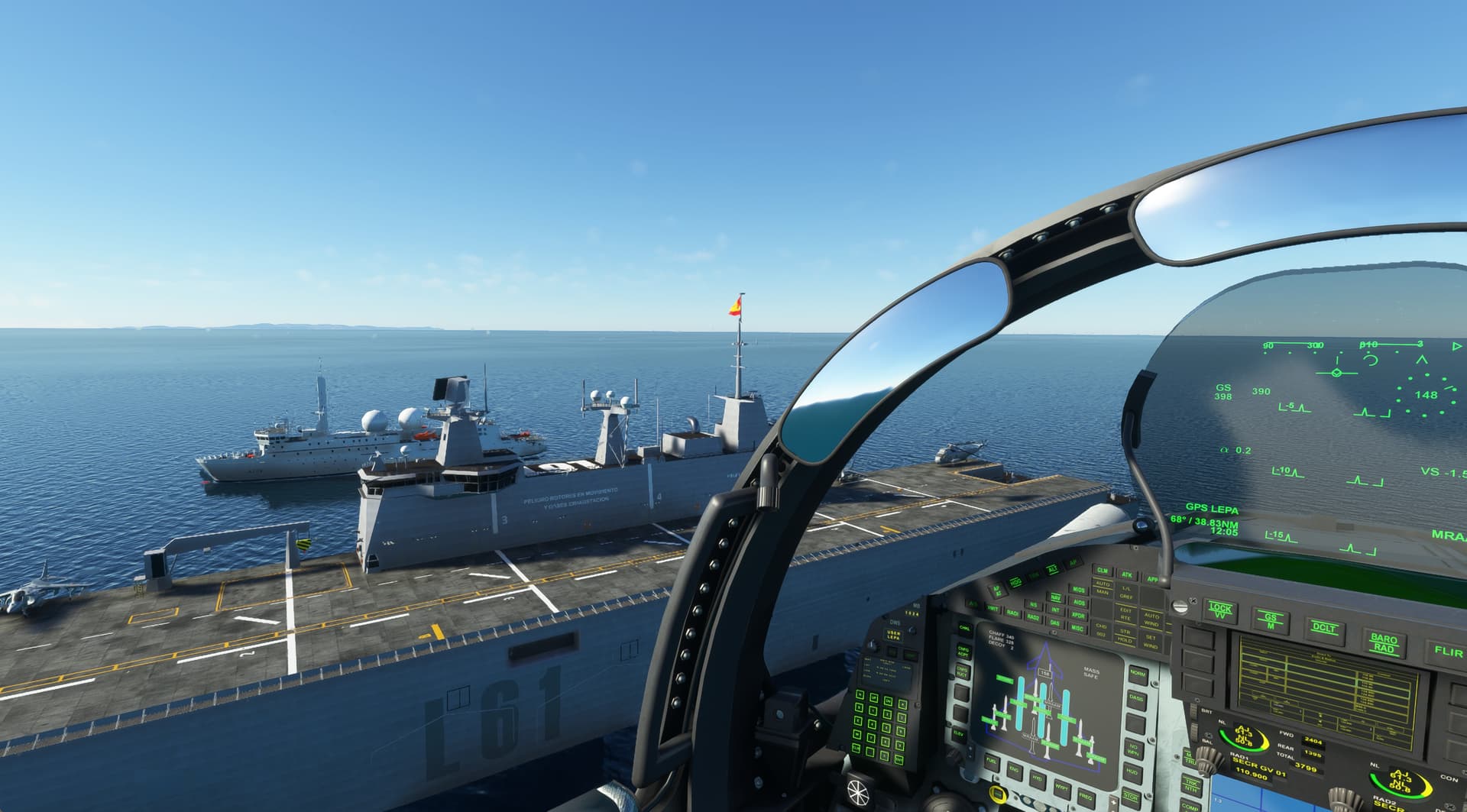
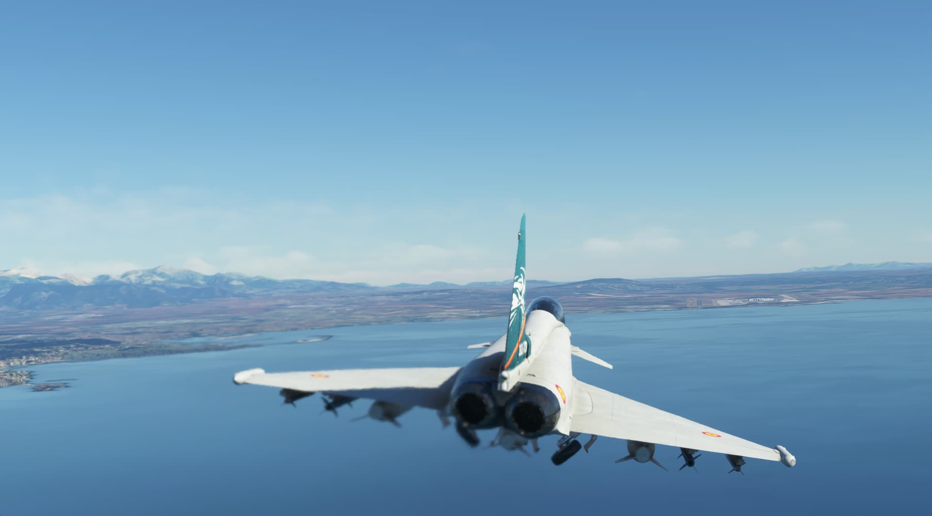
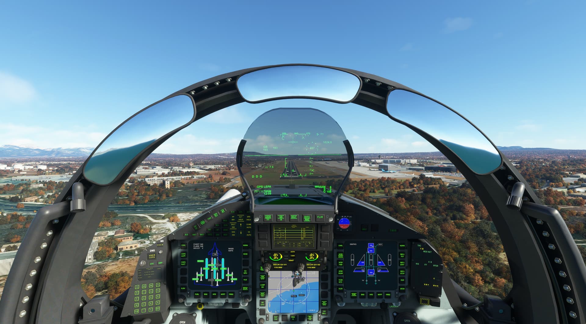
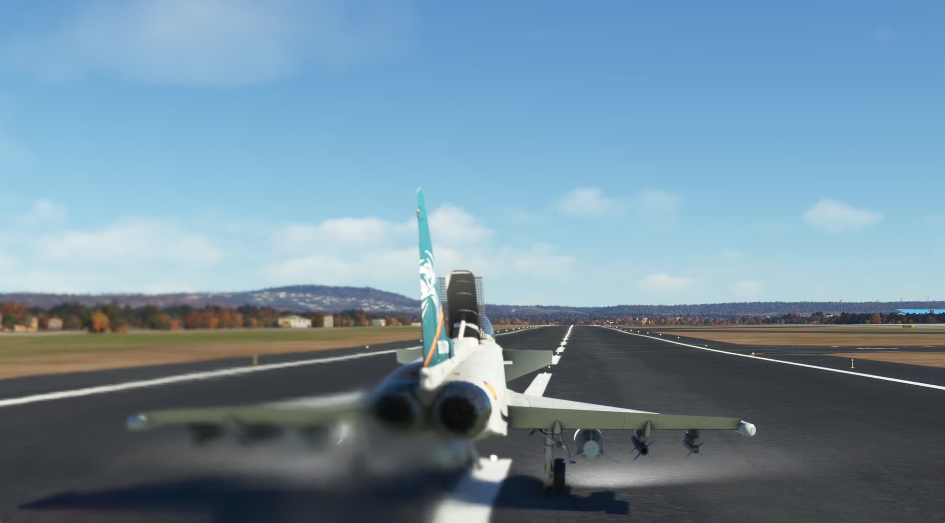
CJ updated the Typhoon the other week, even a few more Spanish liveries. Ole! Also enjoyed some of the scenery of SE Spain. Armilla AB to Son Sant Joan (Palma de Mallorca).
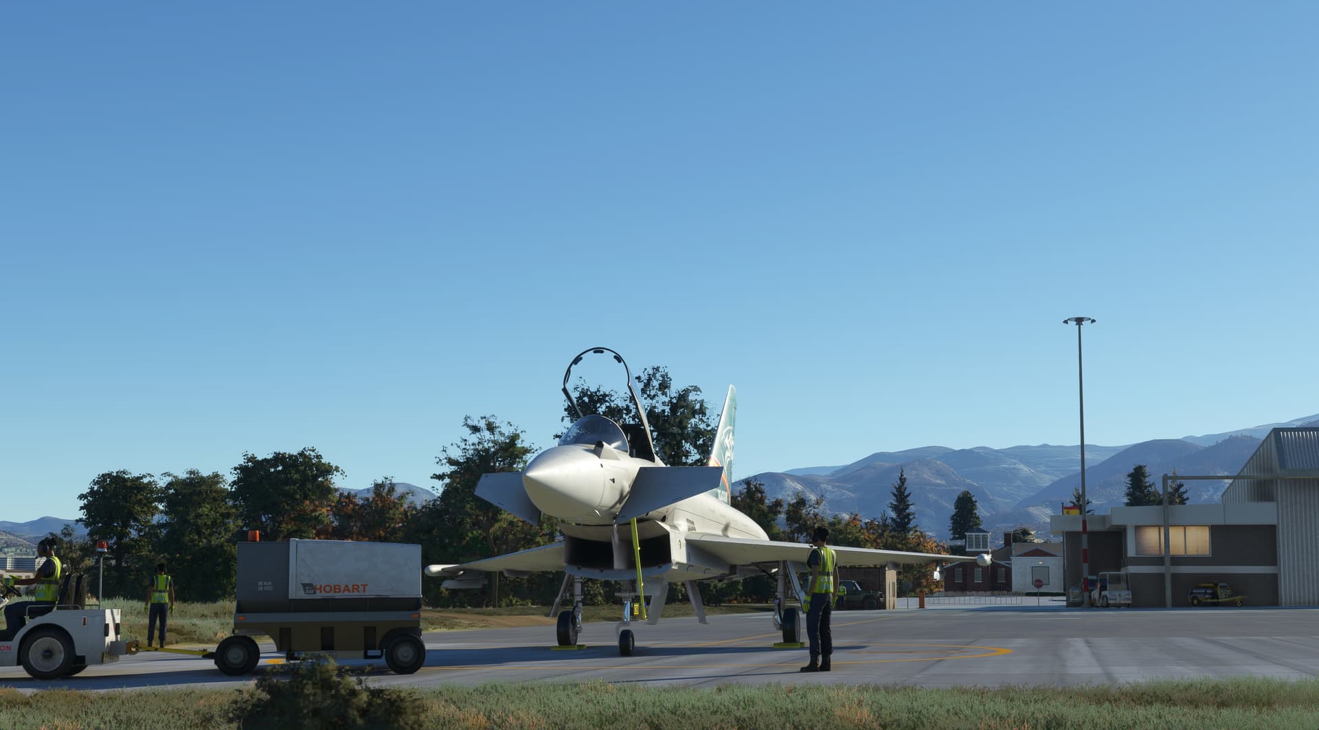
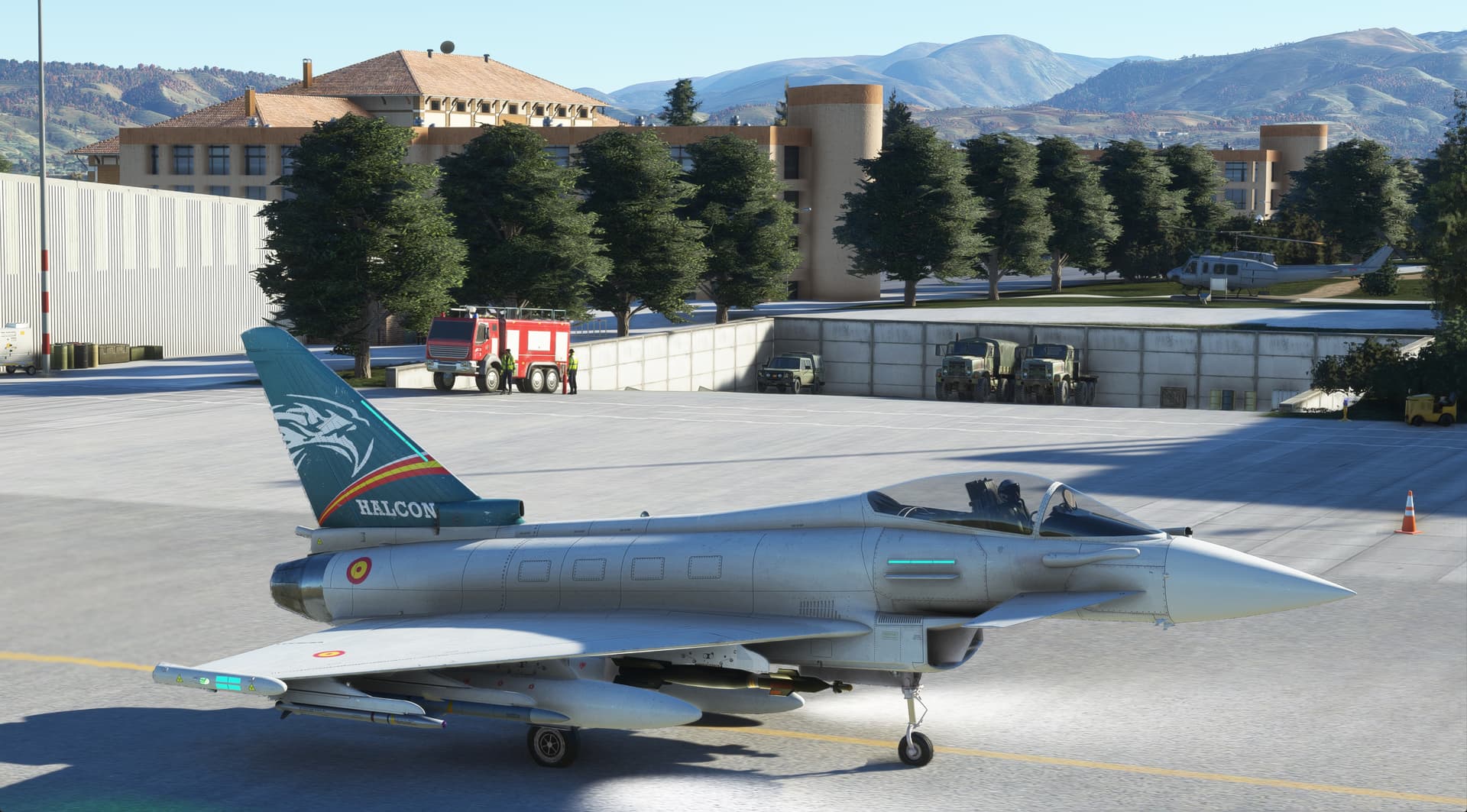
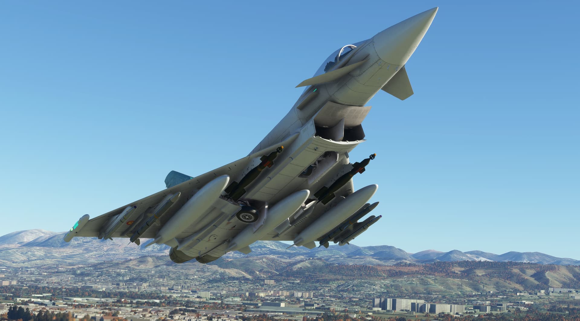
7 Likes
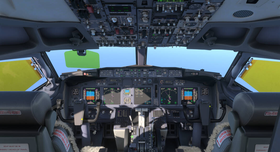
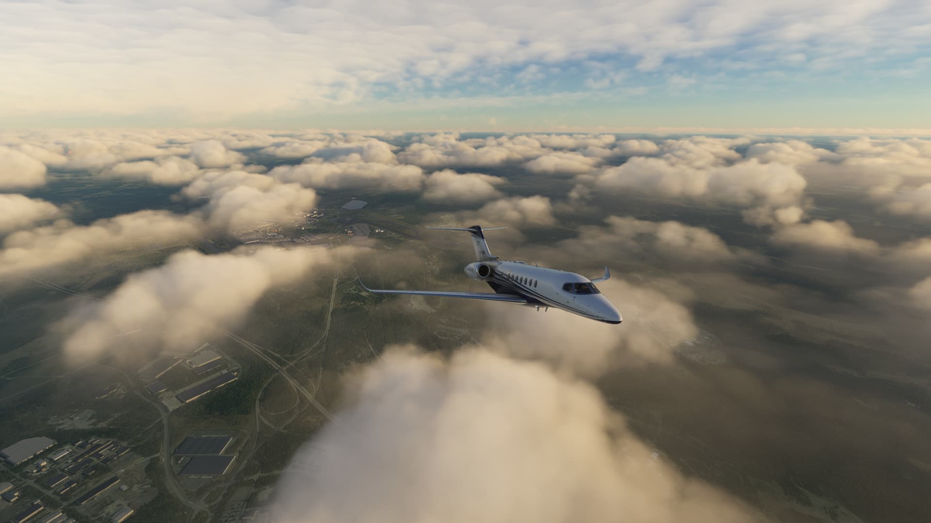
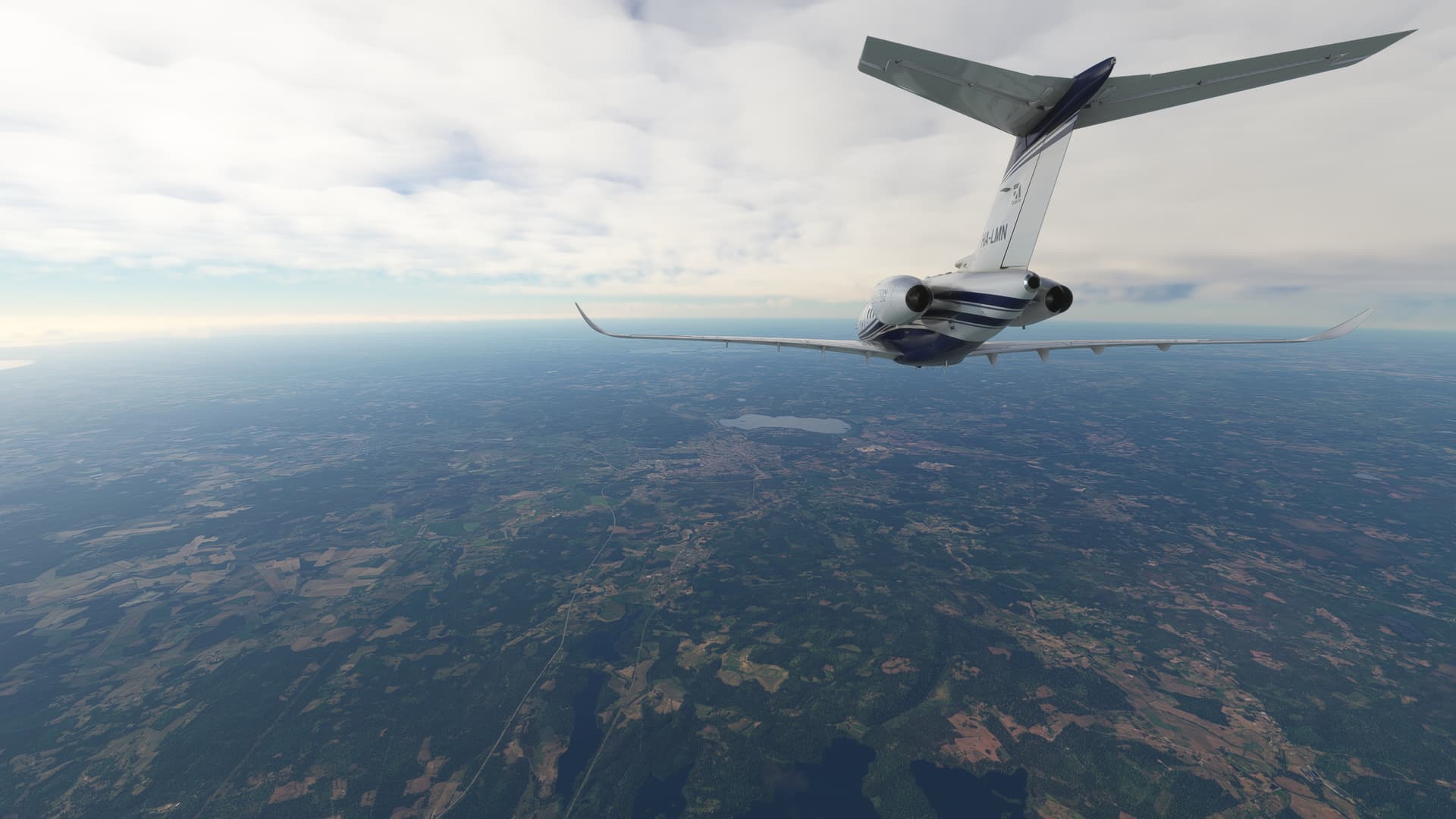
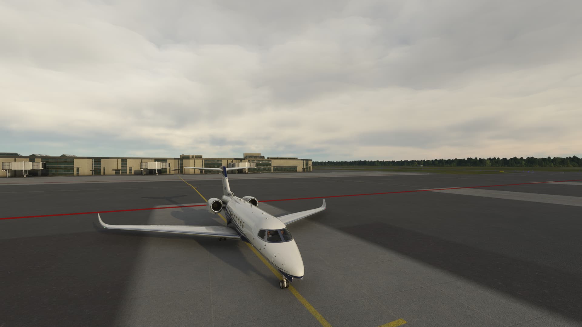
Flew my first proper route using the rudder pedals from Stockholm Arlanda (ESSA) to Malmö Sturup (ESMS)
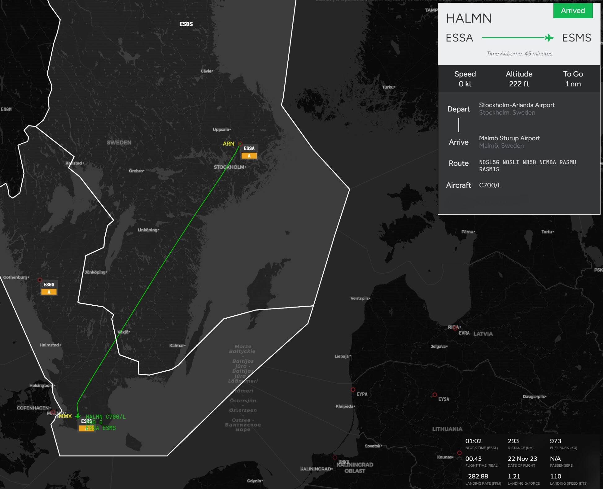
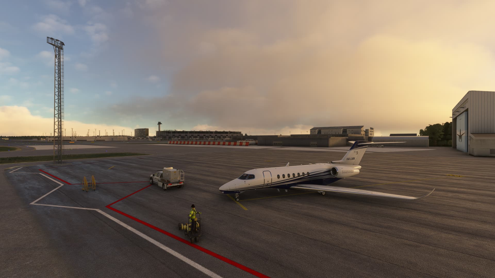
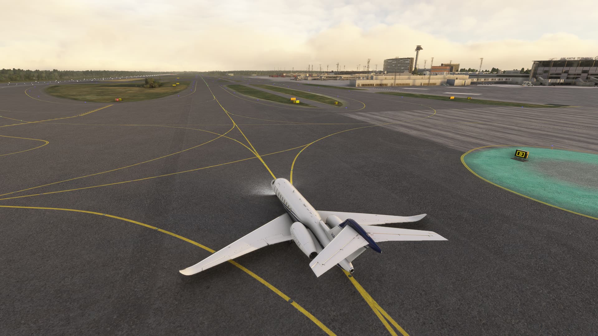

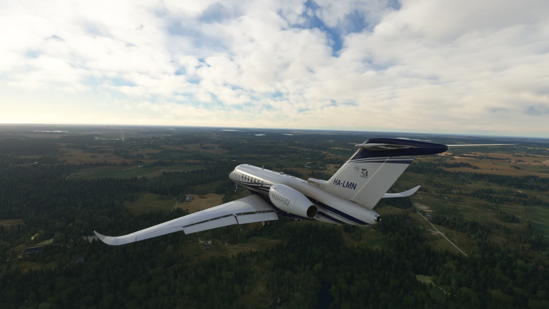
I might need to either calibrate the pedals so that it would send smaller indications or train a lot more with it, because my inputs seem drastically huge. I completely ruined my landing when I tried to use it to better align with the runway.
Full video later here:
- Malmö Sturup (ESMS) full flight vatsim bad landing Citation Longitude")
8 Likes
The Longitude is terrible in crosswinds especially. Unrealistic behavior. There is a mod for the C700 where the rudder movements are limited, but I am not using it due to other problems. I am rather limiting it in the joystick settings.
I normally remove the cross-wind (if I can) before landing. On Vatsim if you are you using real weather it is not an option.
1 Like
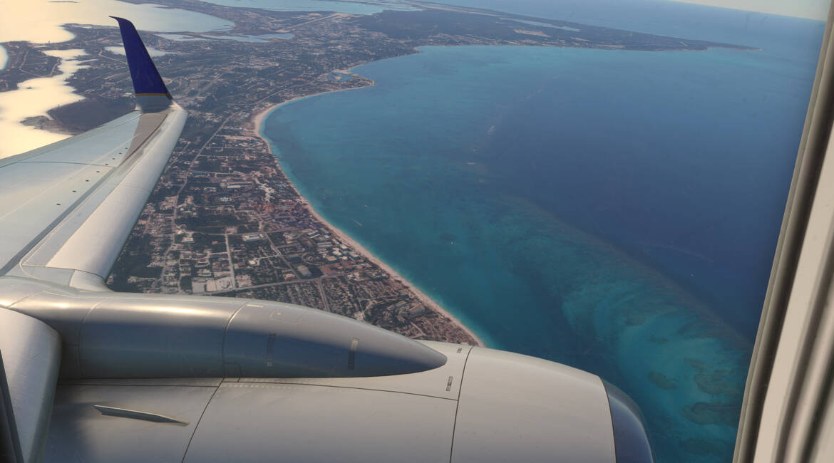
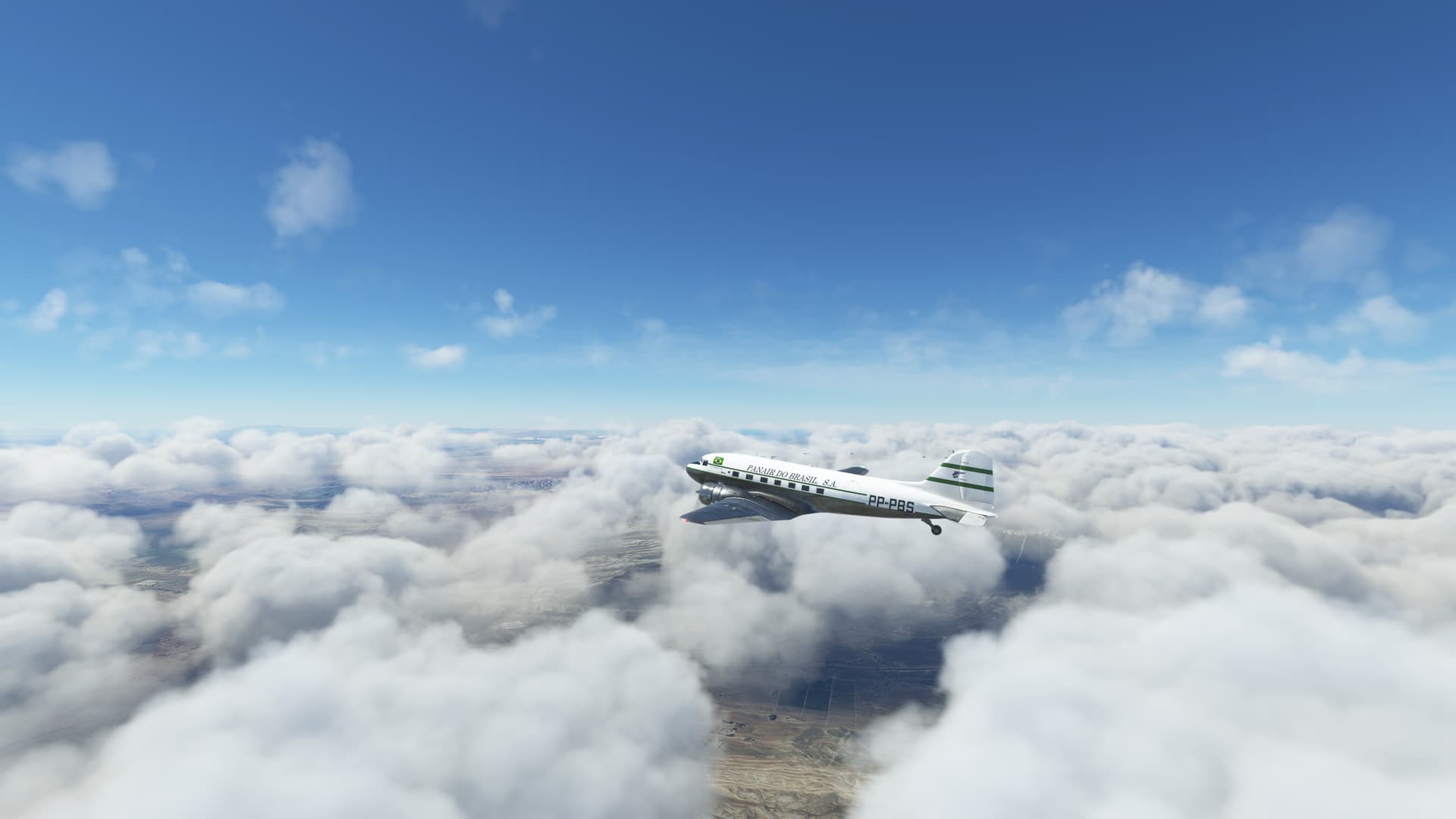
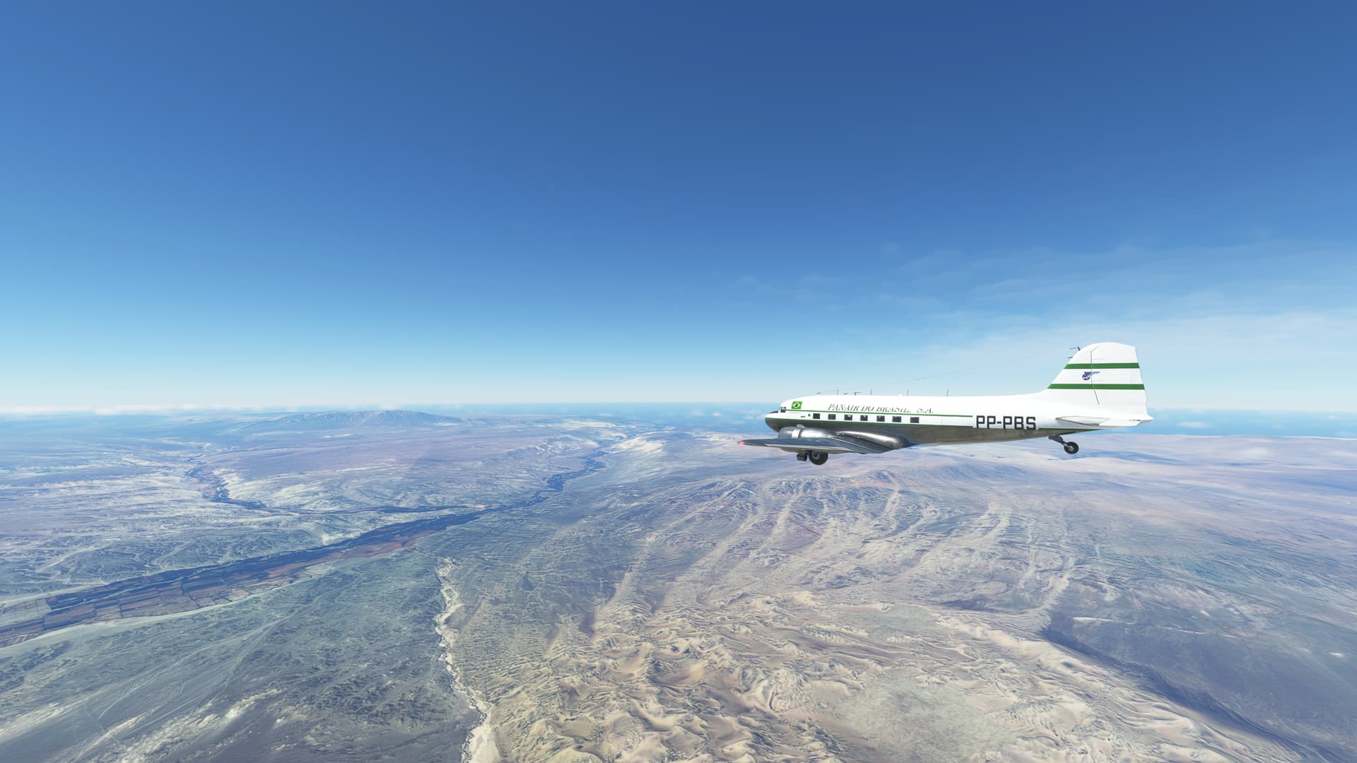
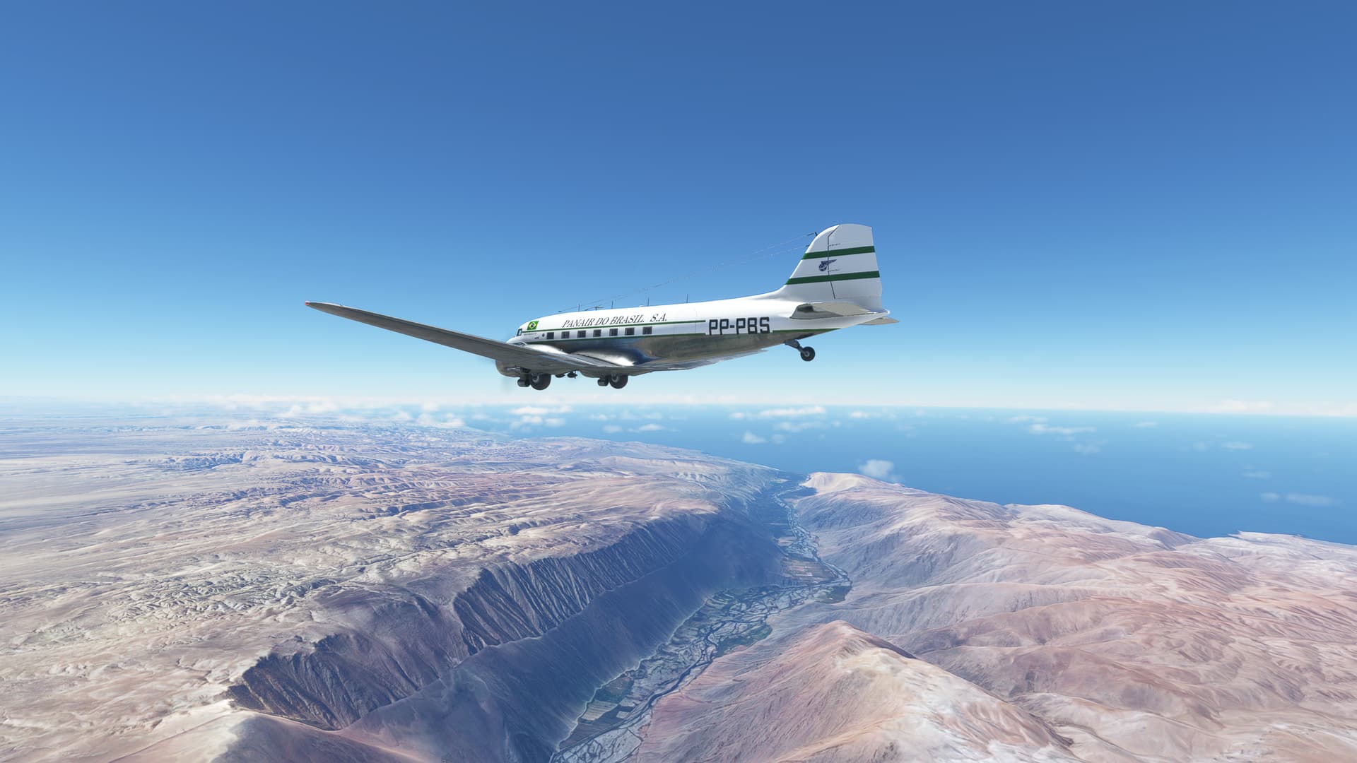
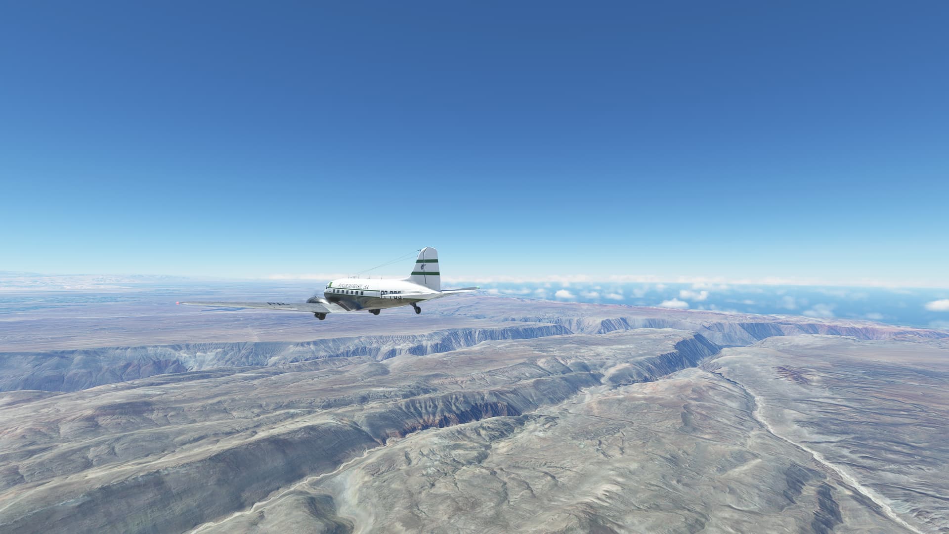
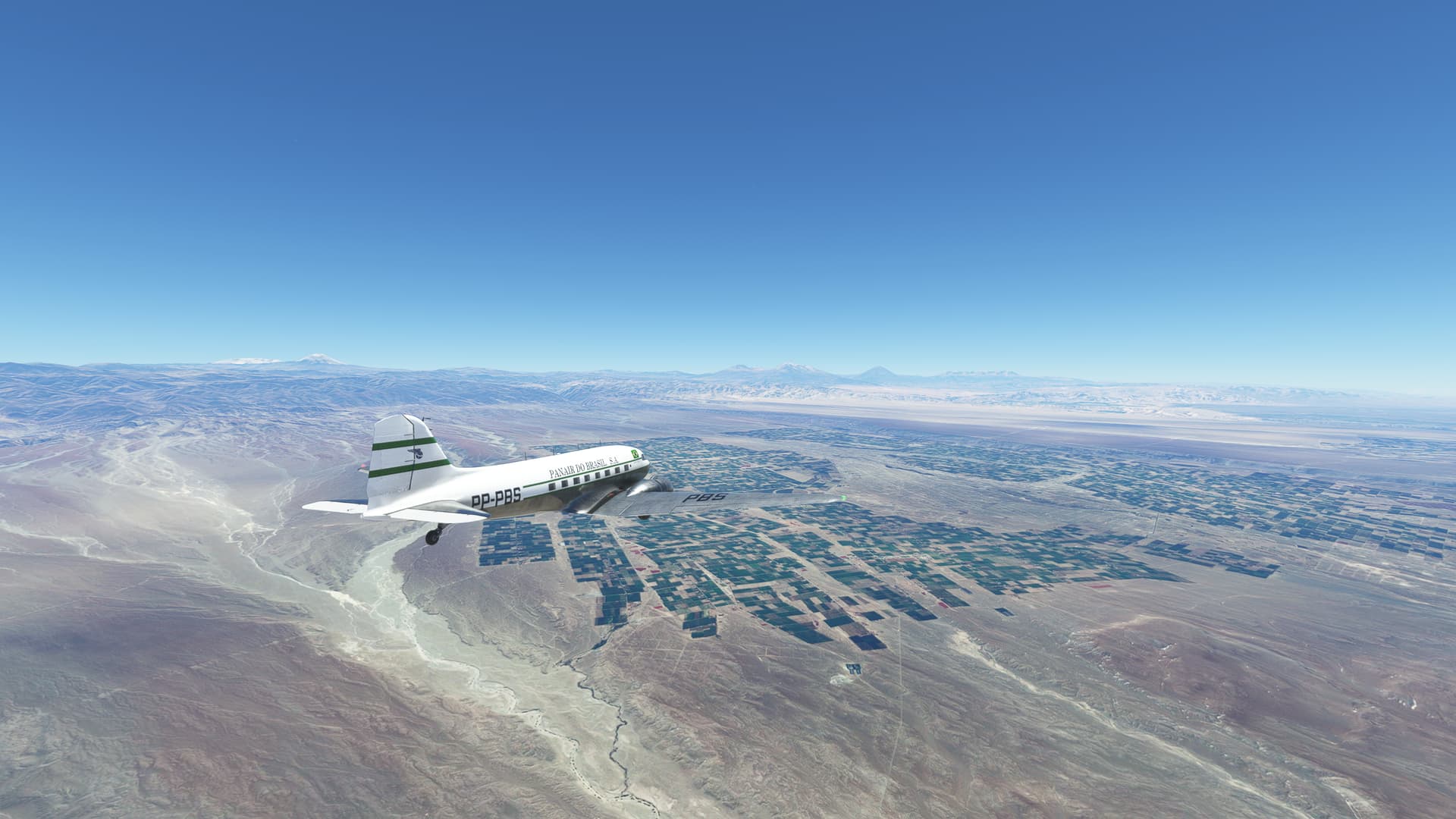
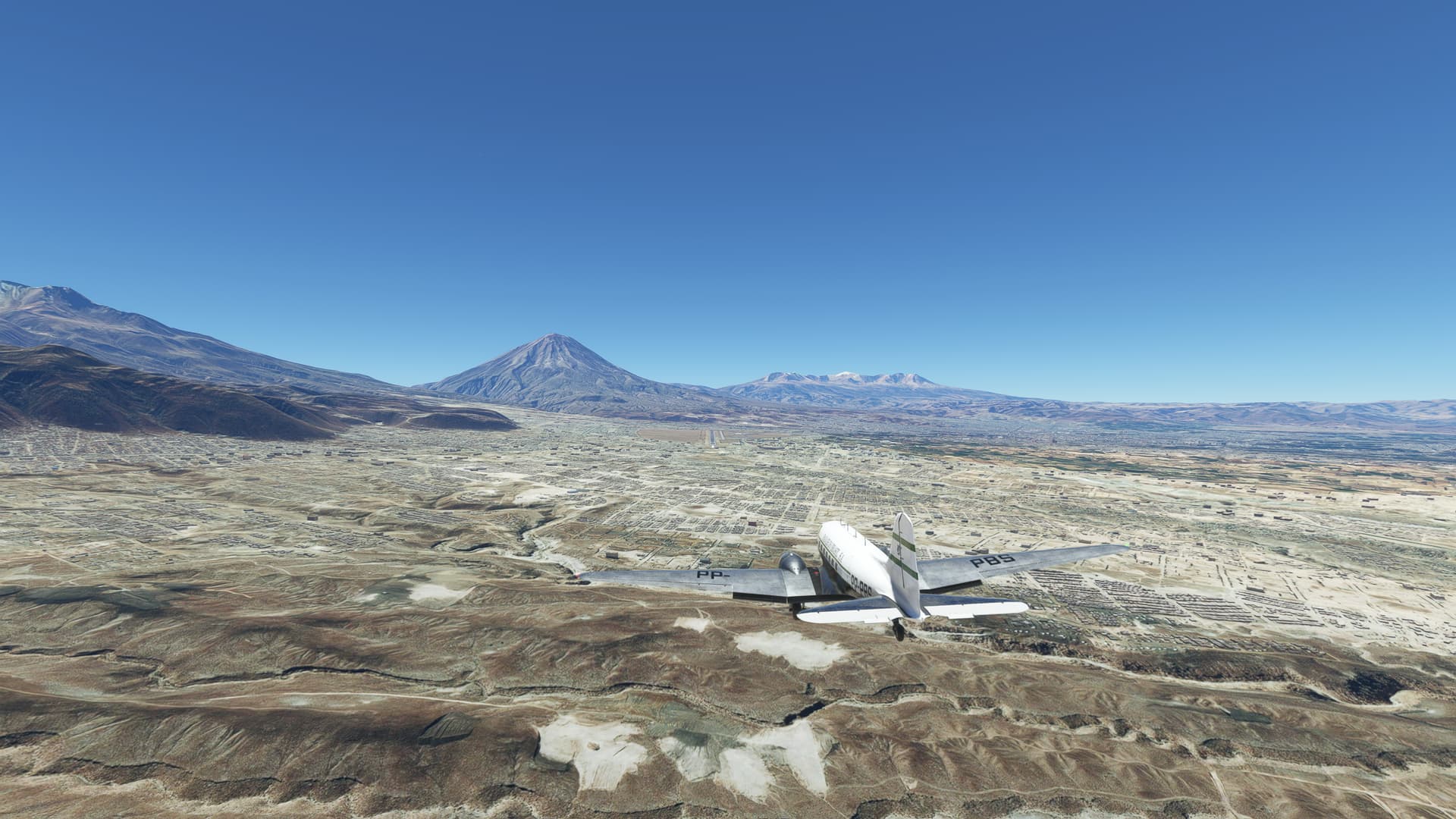
I continued my Pacific tour in DC-3 in real weather: SPSO ![]() SPQU
SPQU
There was overcast at Pisco, so I planned IFR departure. When I got out of clouds, ATC told me to climb to 17000ft. In DC-3? Yeah, sure. So I cancelled IFR and continued VFR. Anyway, it was clear sky ahead and soon got out of VOR range. It was interesting flying over lot of canyons.
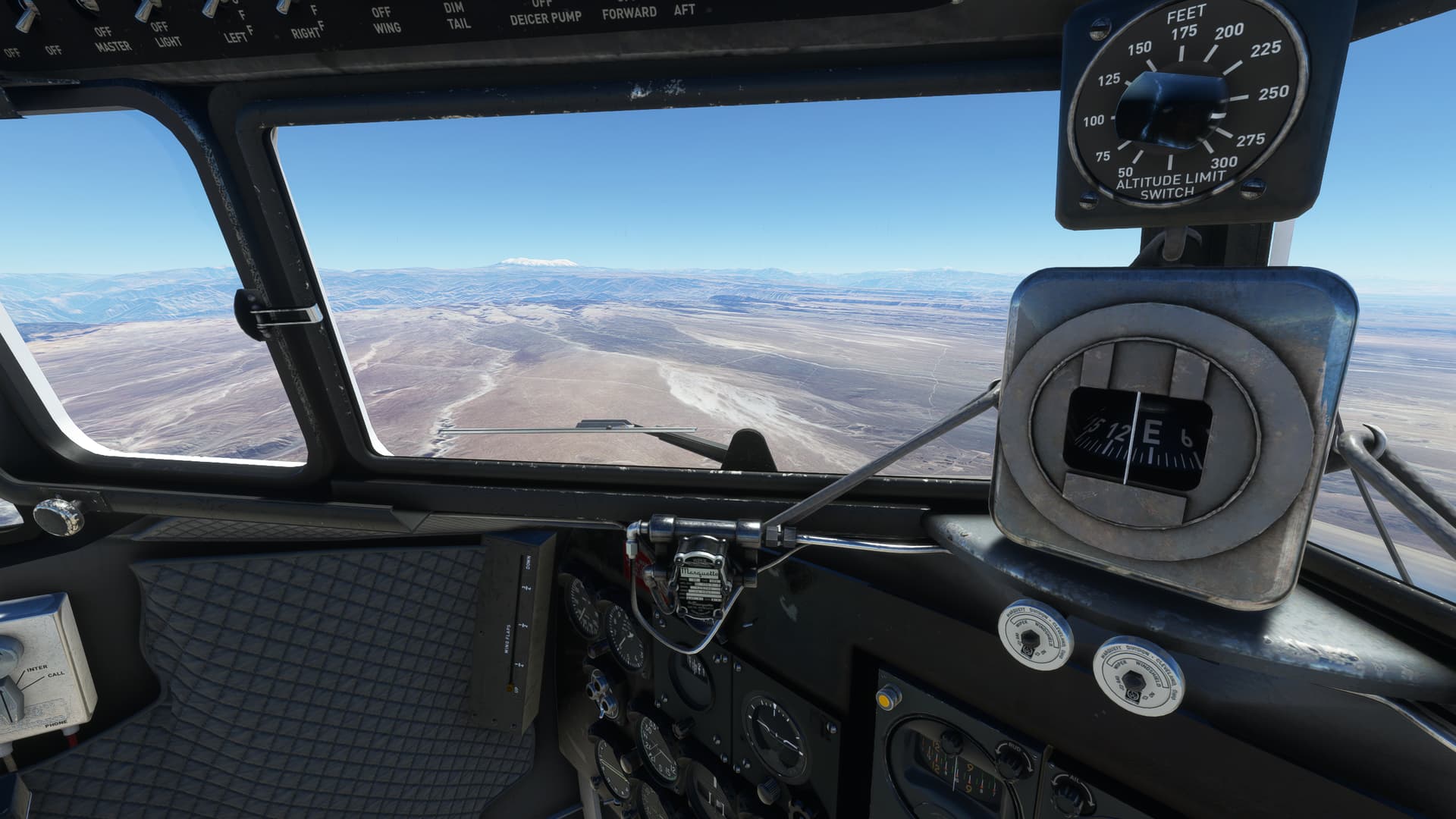
Destination airport was at 8000ft with only 1 direction runway. Unfortunately, there was 6kn tailwind, so I had to do as slow approach as possible.


9 Likes