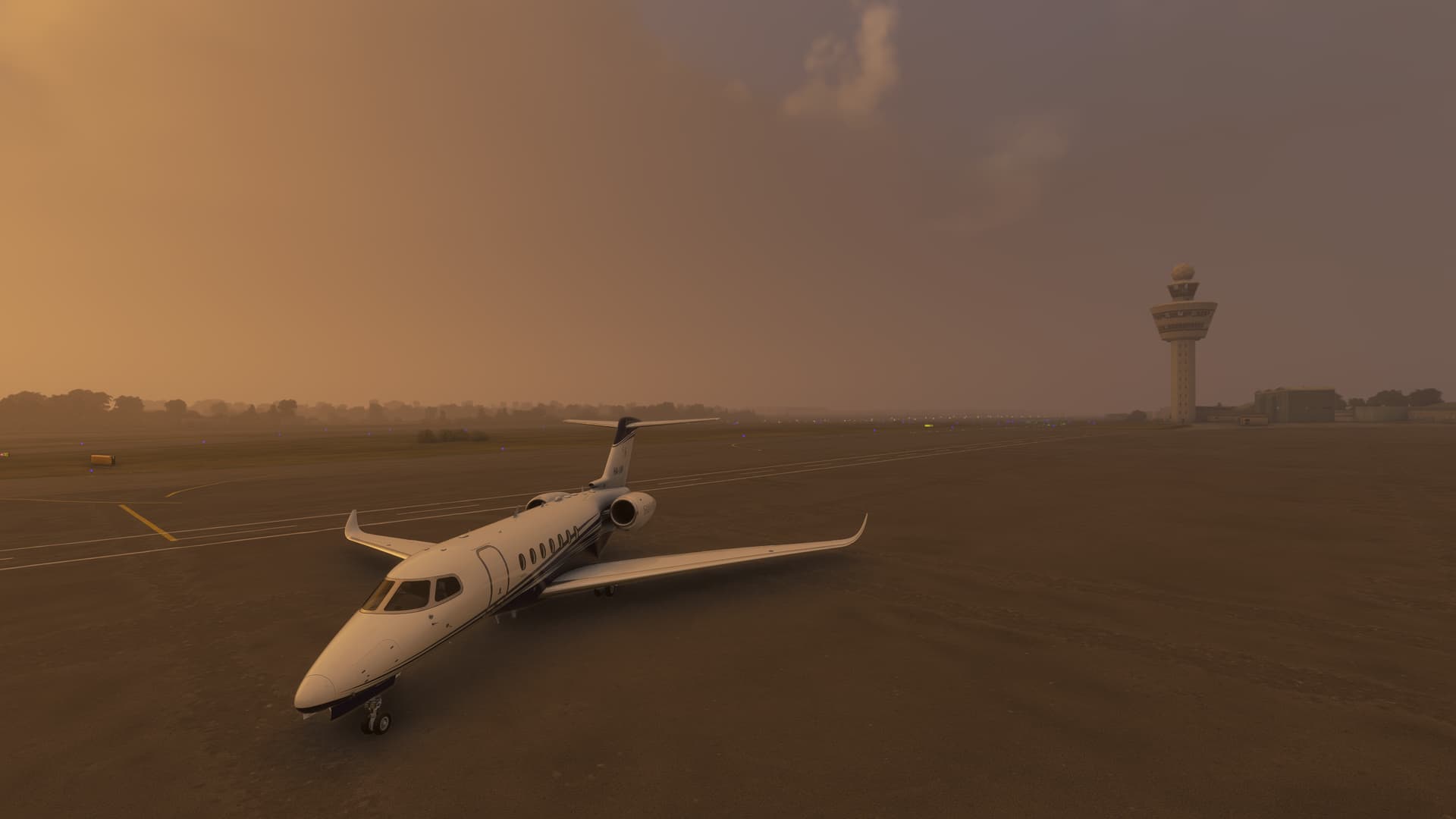
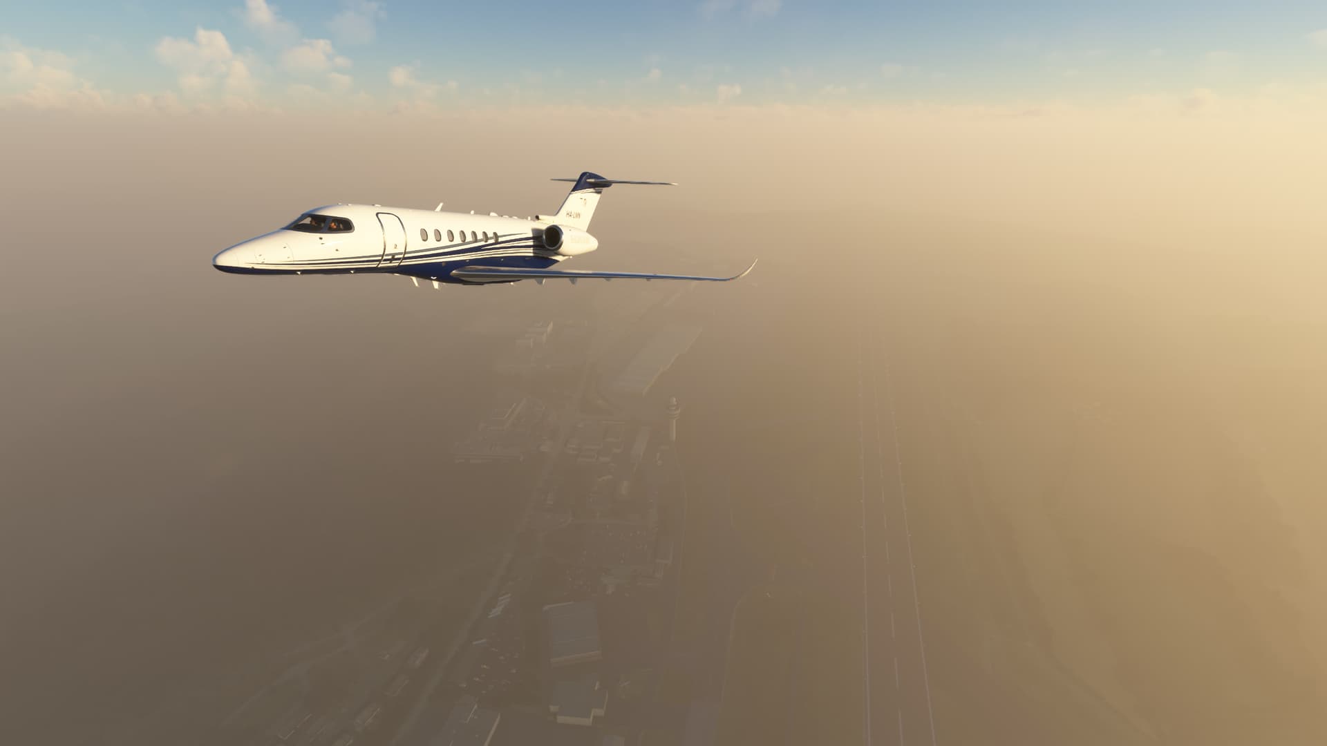
A foggy morning over Northern Morocco - real-weather, real-time
3 Likes
Check out the manual in the file. Some good links. Prepare to lose hours to these routes!
1 Like


Taking a break from business jets I did another night of St Barth to Saba runs, 5 total in a non-stop cycle of landing, ‘unloading’ and taking back off again. Nailed Saba Runway 12 and Barth Runway 10 5 times each in the Islander, in spite of the MP chaos ‘scenery’ constantly in view there. I start and end at Juliana ‘home base’, which makes the last landing seem comical.
2 Likes
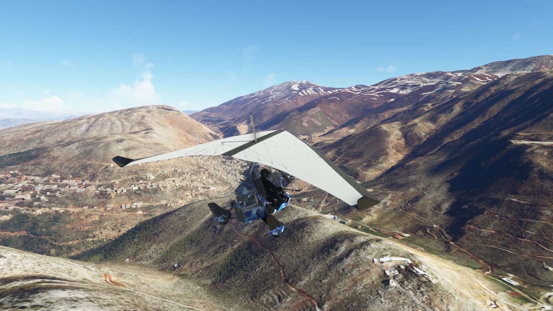
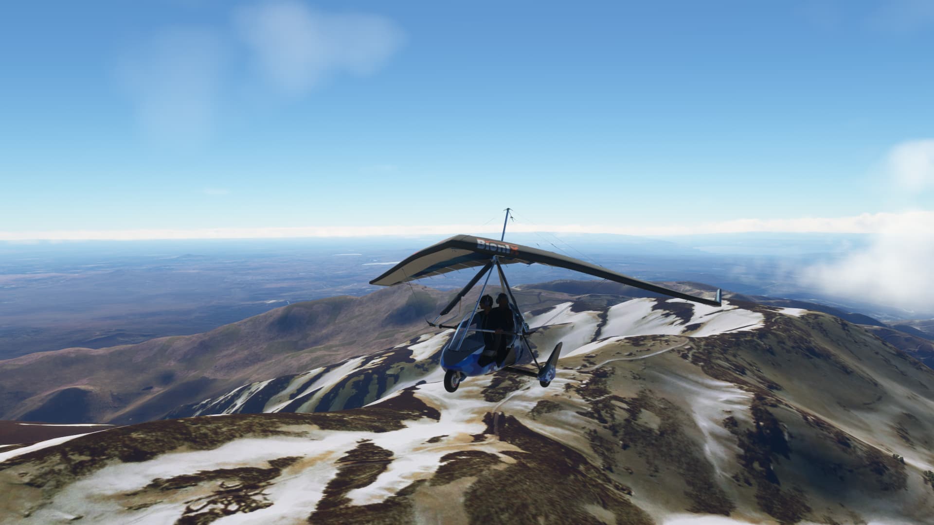
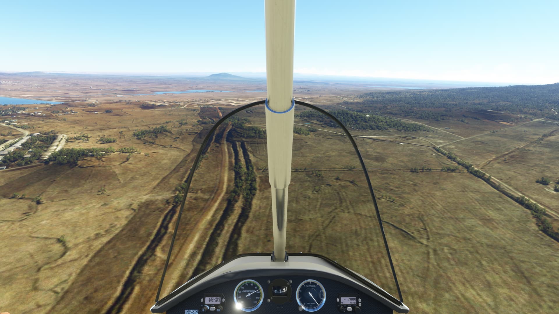
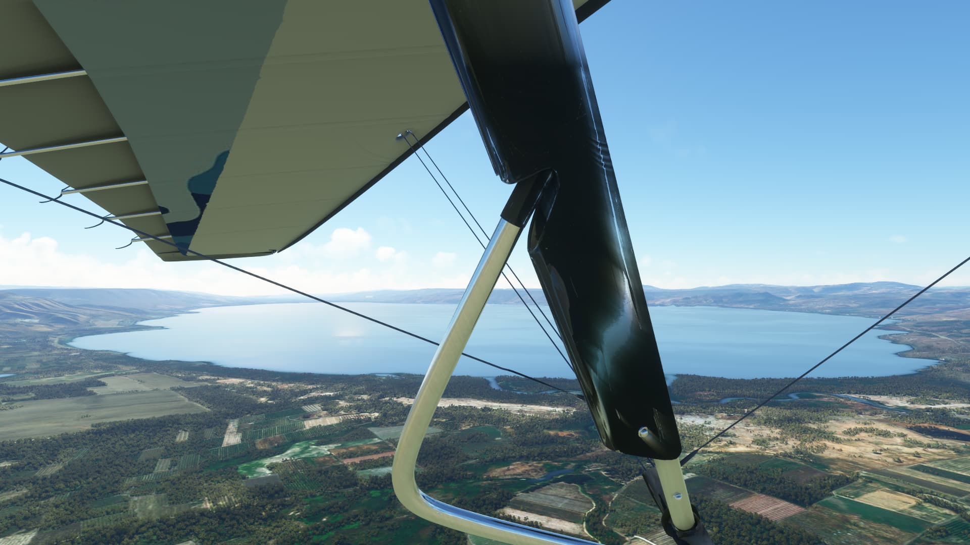
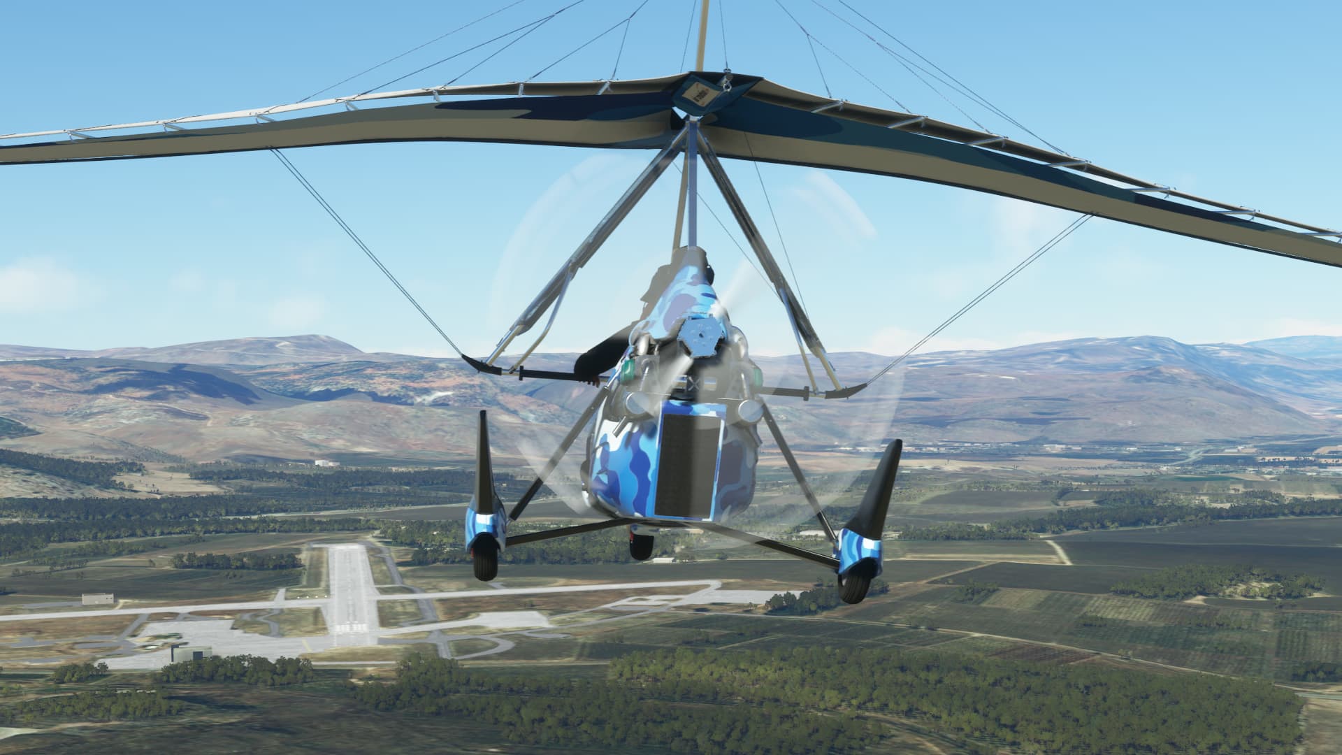
Flight in difficult wind conditions to Mount Hermon, the highest permanently manned UN position in the world, known as “Hermon Hotel”
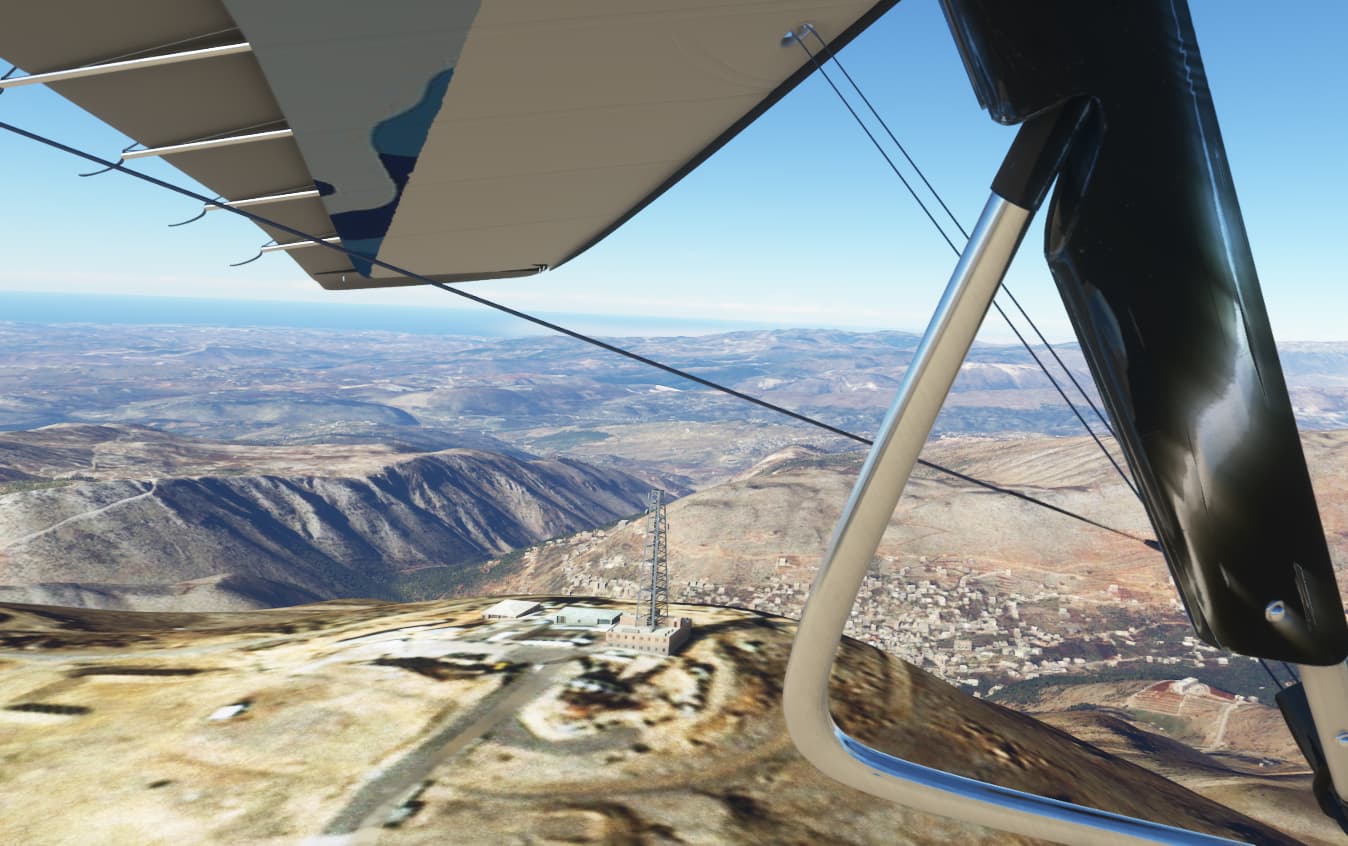
“Hermon South”: view to Lebanon
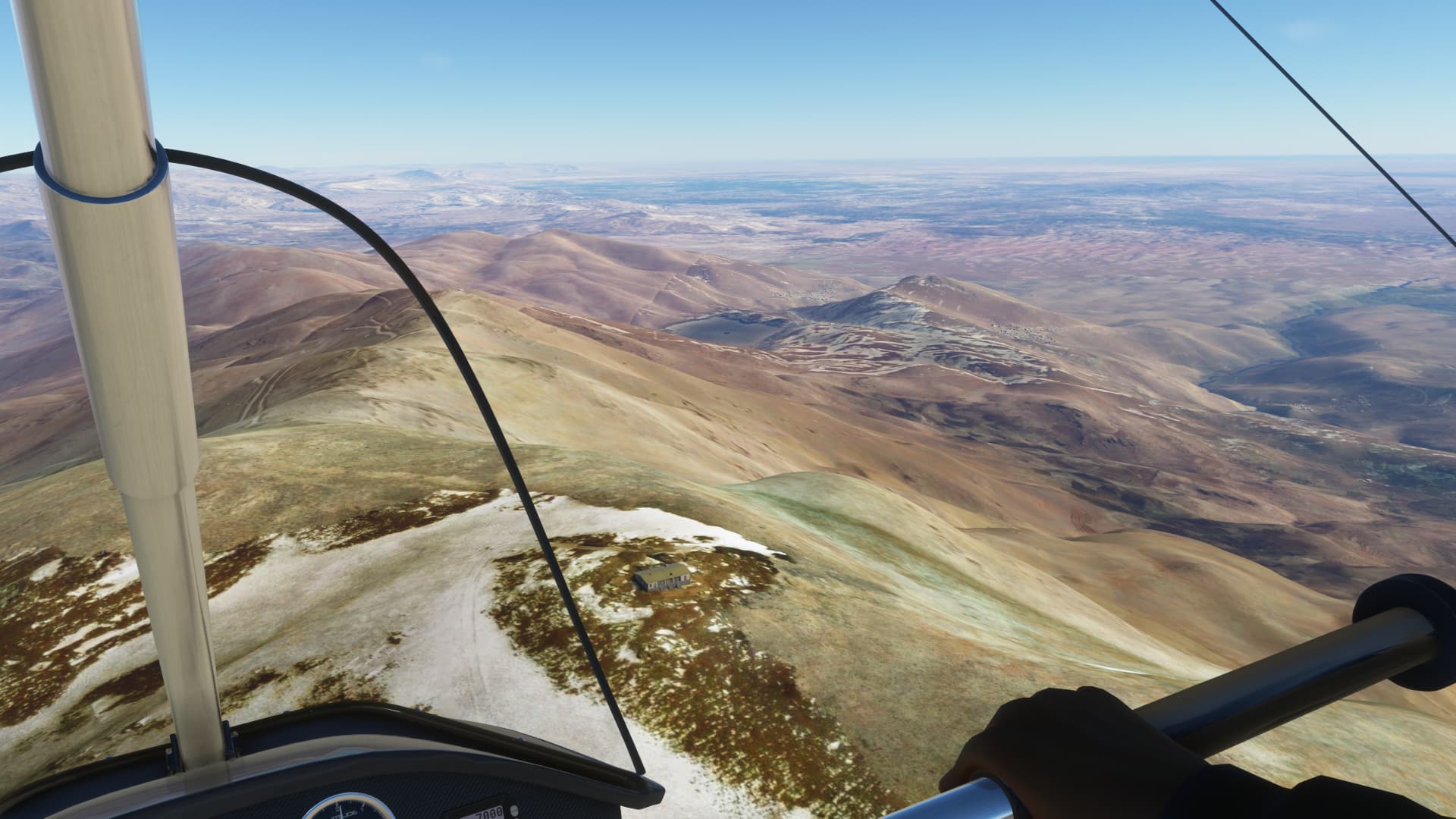
At the summit of Mount Hermon: view to Syria
View to Israel
Border installations between Israel and Syria
On the way to Sea of Galilee
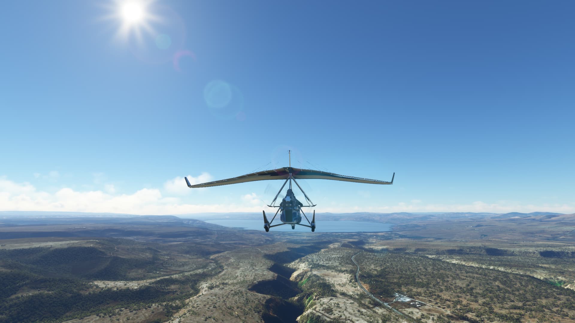
Sea of Galilee
Approach to Rosh Pina with the last drop of fuel
6 Likes
Not a Black Friday purchase: I’ve actually had Orbx’s LA helipad sets for a few weeks now but have just got round to putting them to use:
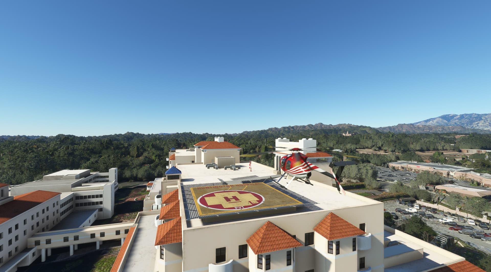
I can see me spending a fair amount of time in LA over the next few weeks*, till I master landing a helicopter. I may actually learn to find my way around the place.
And a strange place it is. Where else would you find a racing circuit built for the sole purpose of racing two Toyotas?

*And by ‘few weeks’ I mean ‘many months’
6 Likes
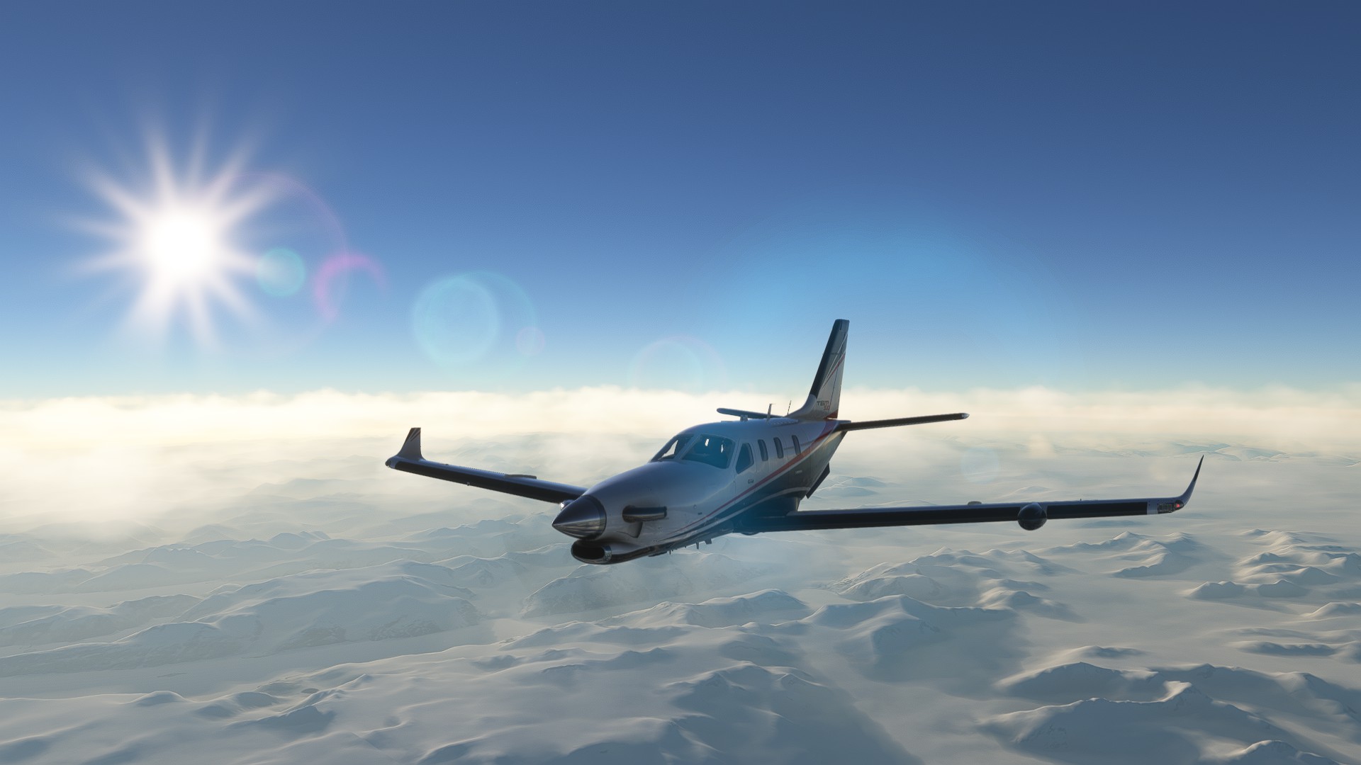
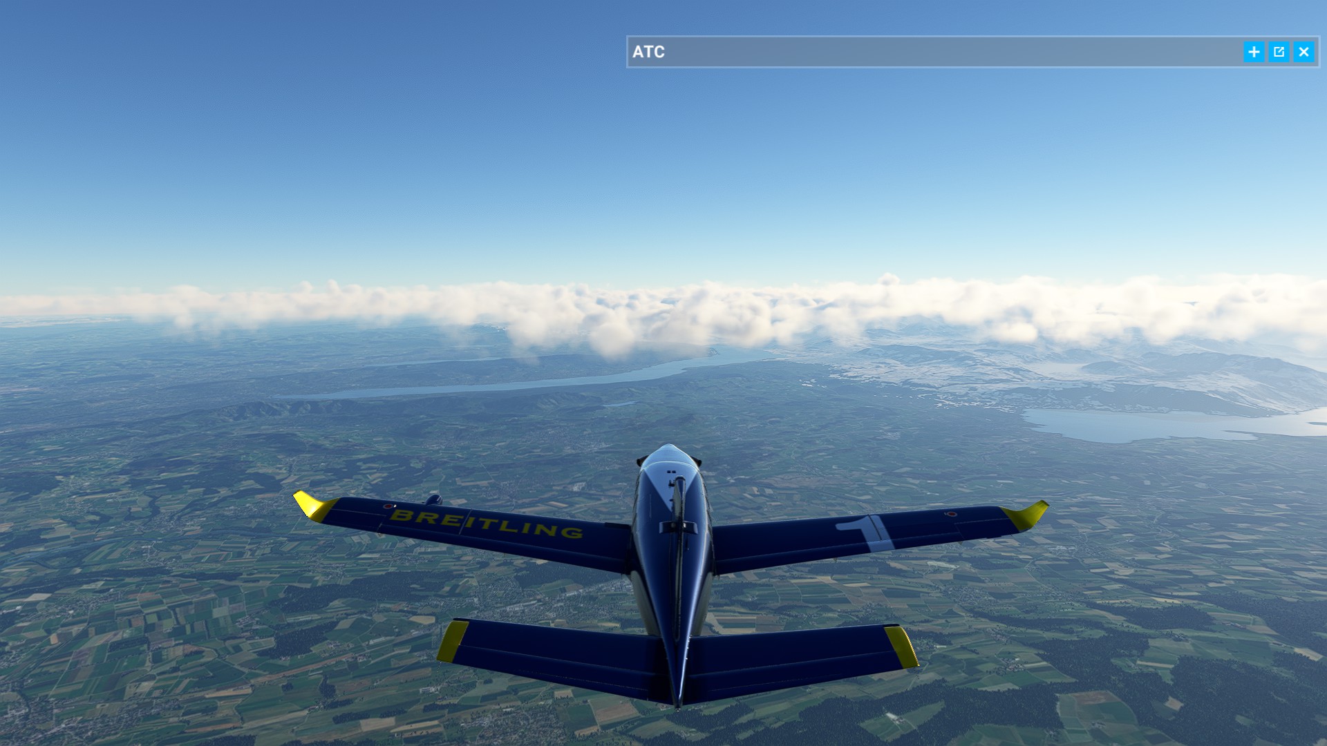
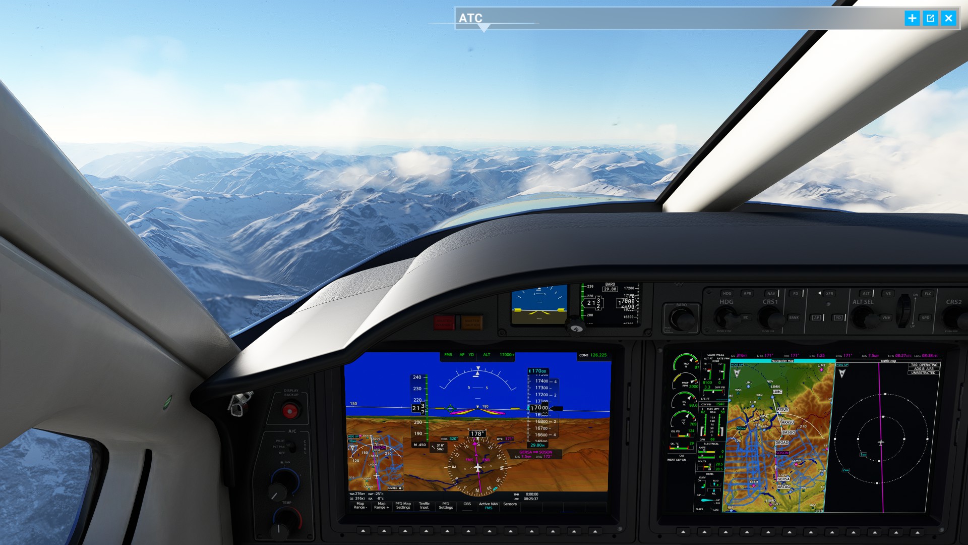
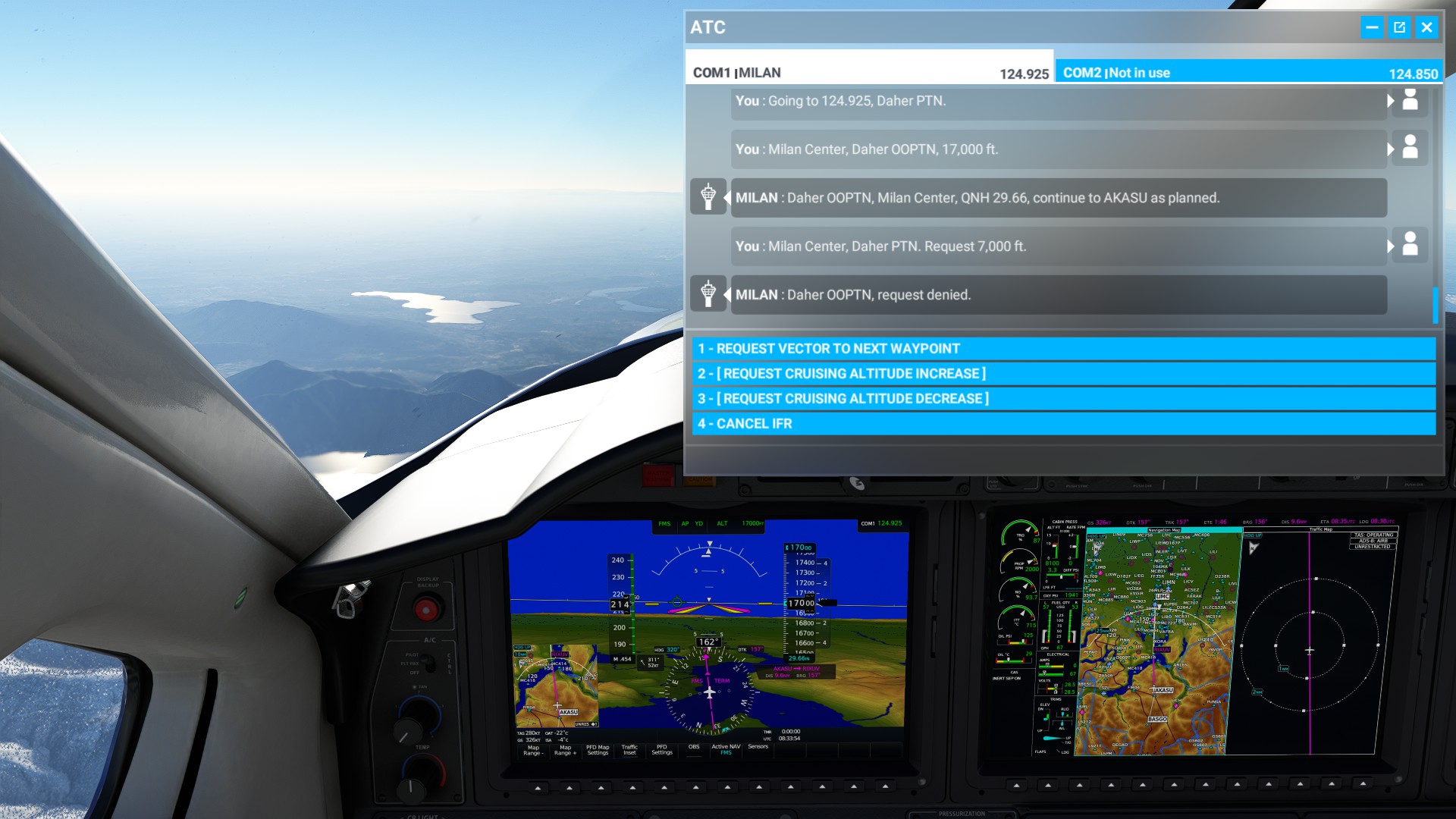
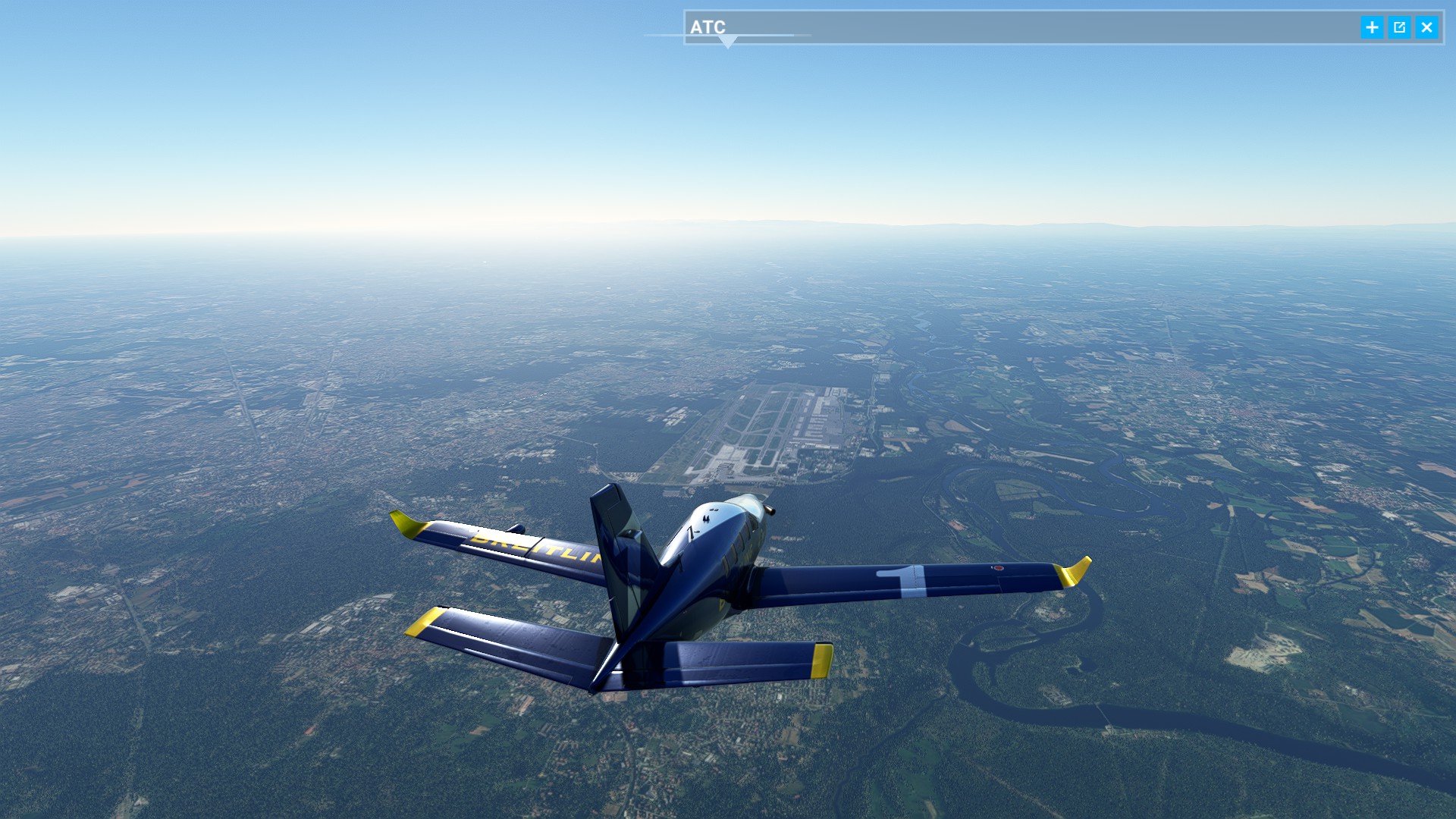
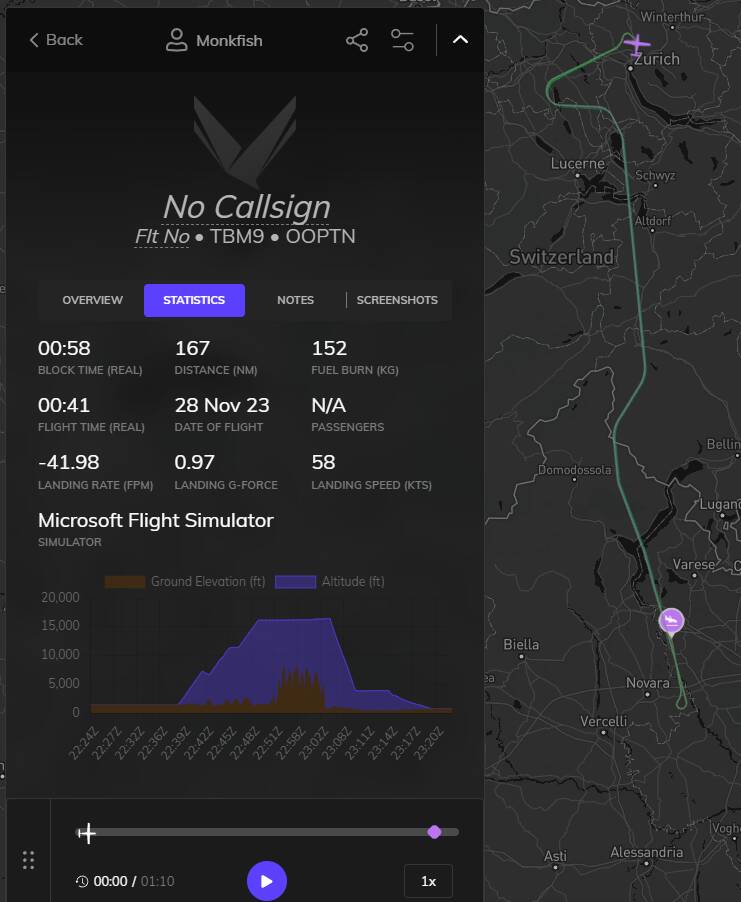
Pretending I didn’t have a fatal crash with 5 people yesterday, and trying again to go from Zurich ( LSZH) to Milano ( LIMC) in the TBM.
Luckily the weather is better, let’s hope this increases our survival rate ![]()
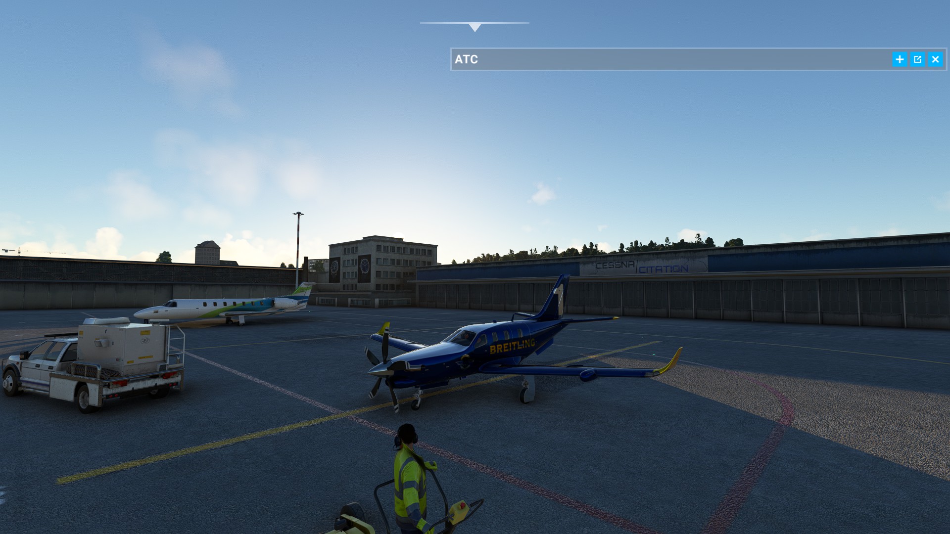
Photo book
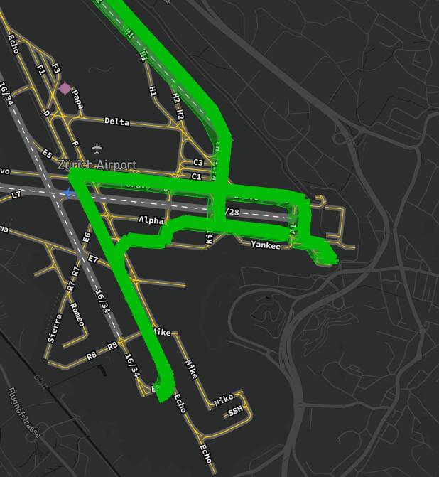
After half a year of incorrect taxi’ing in Zurich I made it safely up in the air, but will I make it over the Alps?!
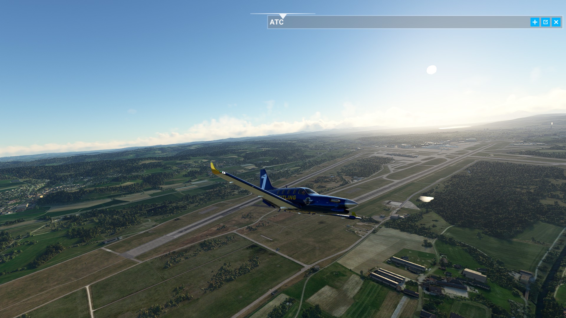
There they are
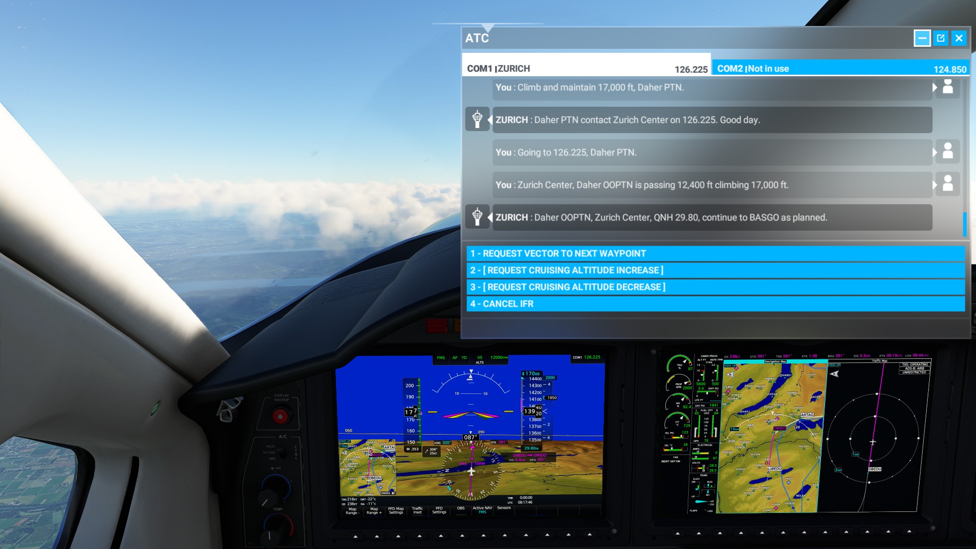
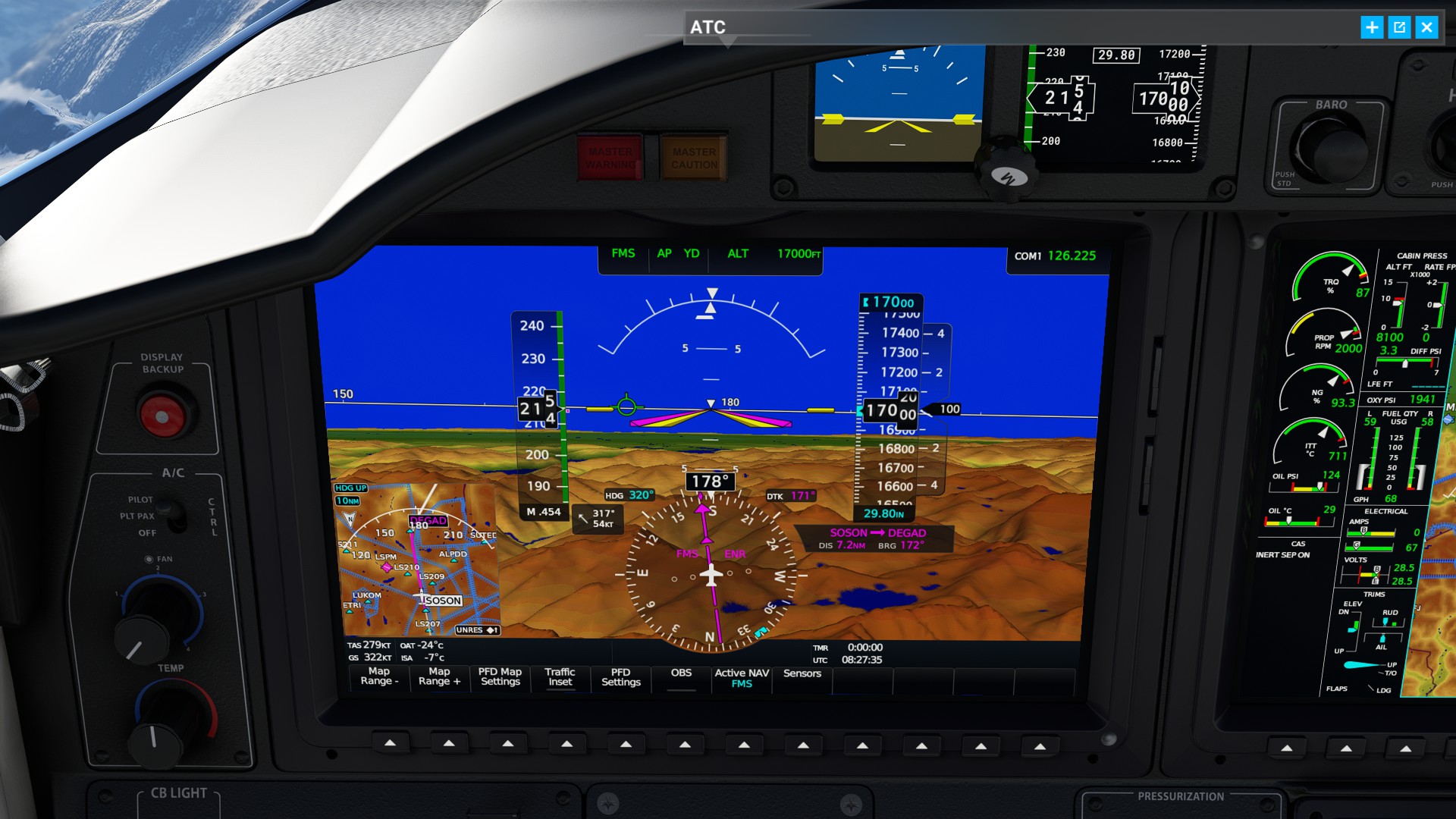
ATC sending me up and down again, so I asked a climb myself.
Look at that
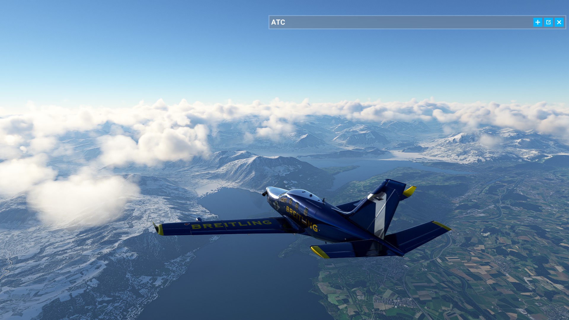
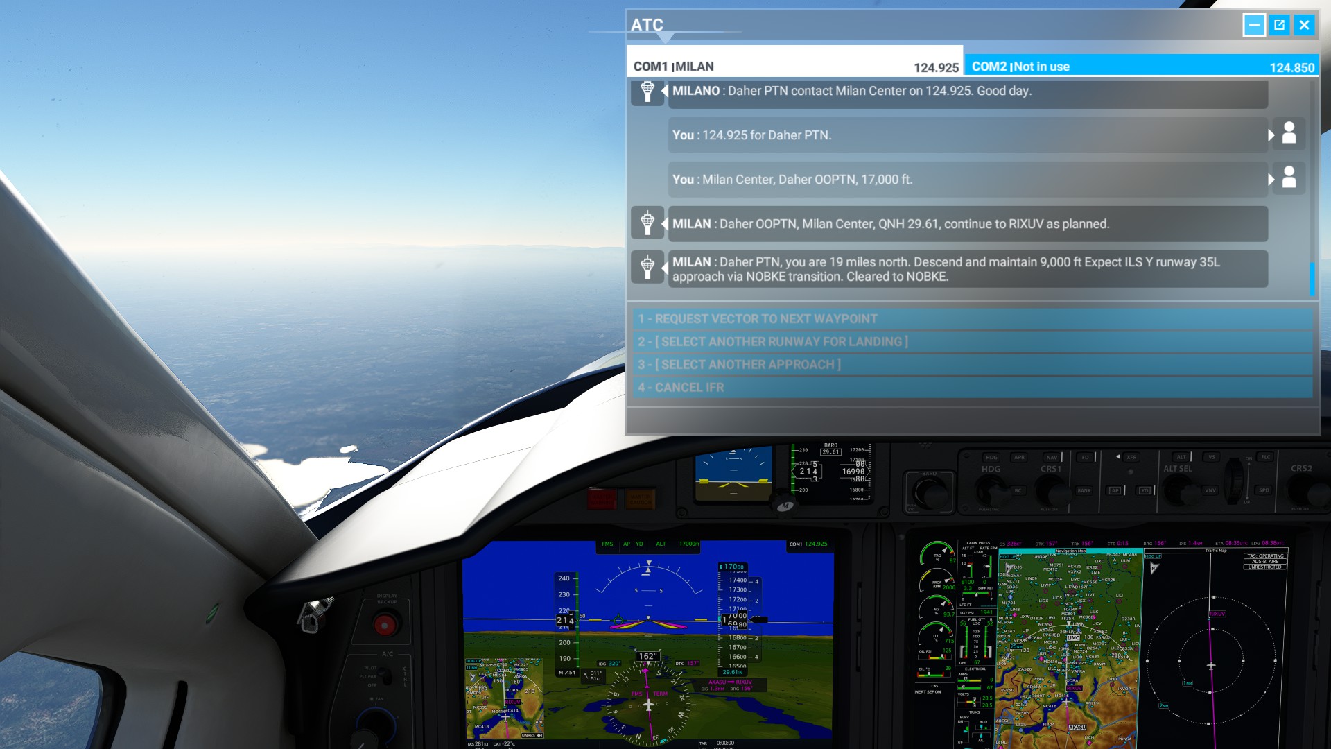
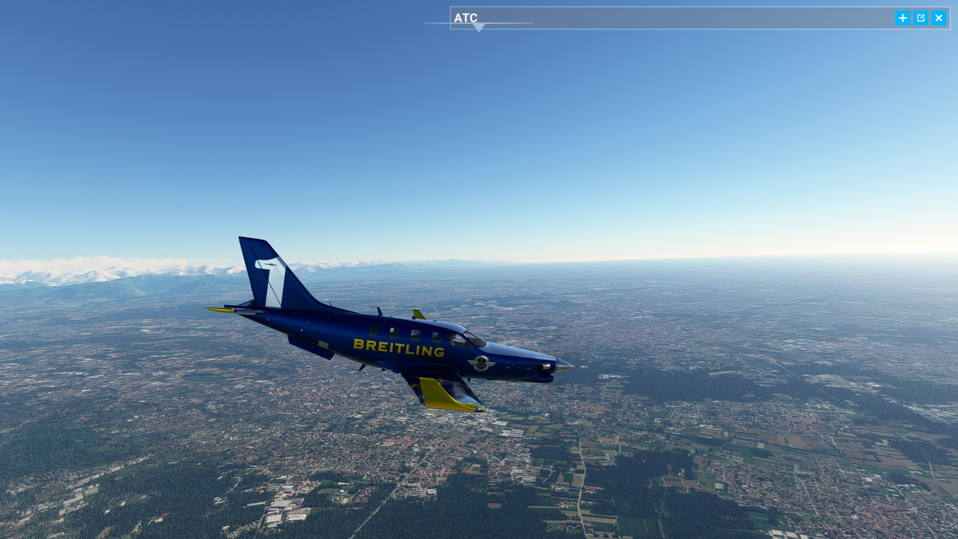
Not a BIG fan of these clouds hiding some mountains, but let’s trust the displays and ATC - flight planning and preparation? What do you MEAN?
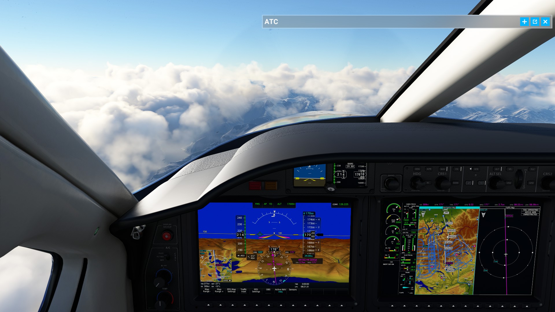
Looking good, the 10 000 ft from ATC may have not been enough ![]()
Nice winds from behind-ish
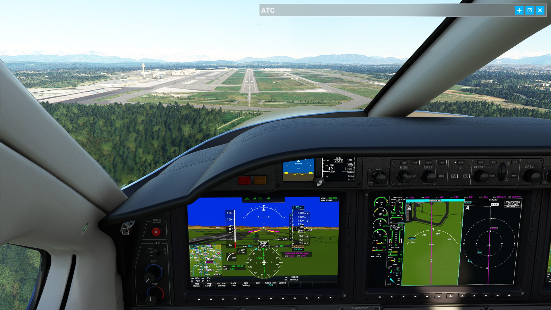
Airfield!
I remember when I was here, no GPS hand-flying the TK9 through the Alps, good times
“Oh, I’m still high, let’s ask a descend” - “DENIED” ![]()
Two minutes later: 4000 ft !!!
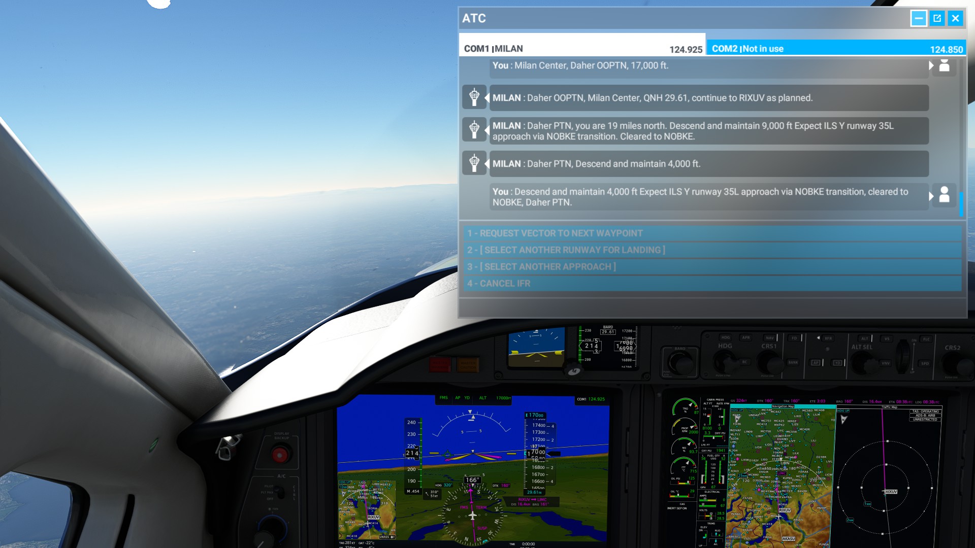
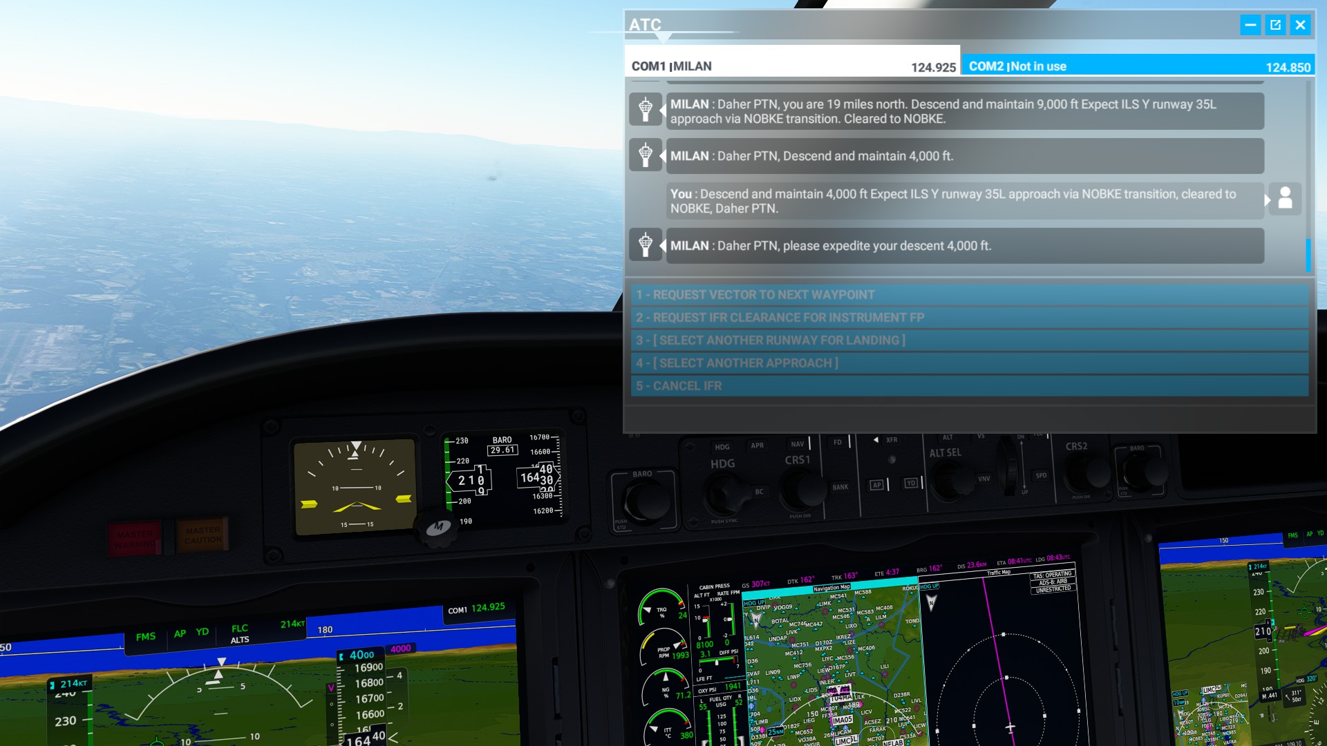
Can you believe these people from ATC!!! Can I descend: NOOOOO, but expedite your descend!!!
Well hello there
Expedite is expedite

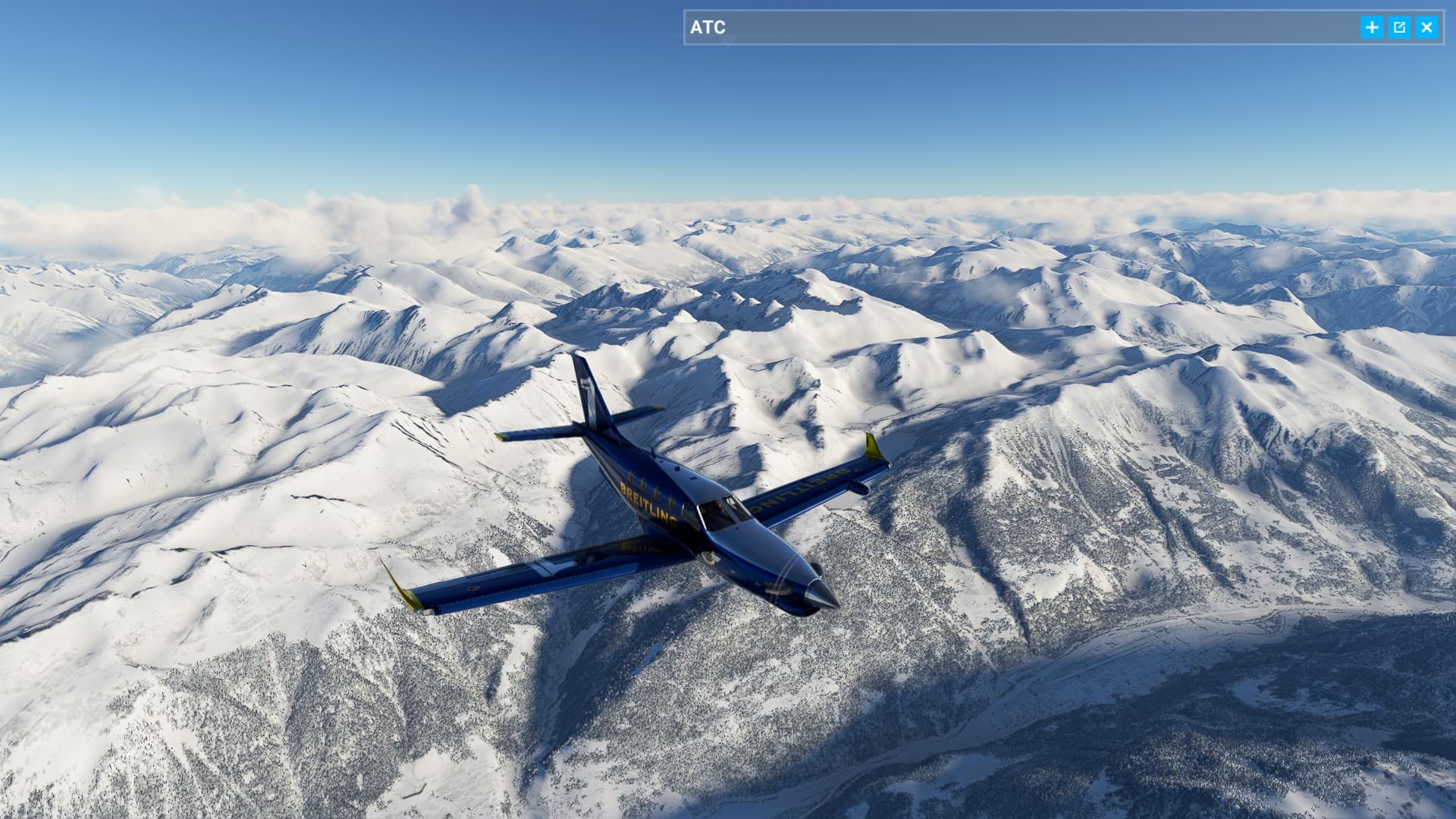
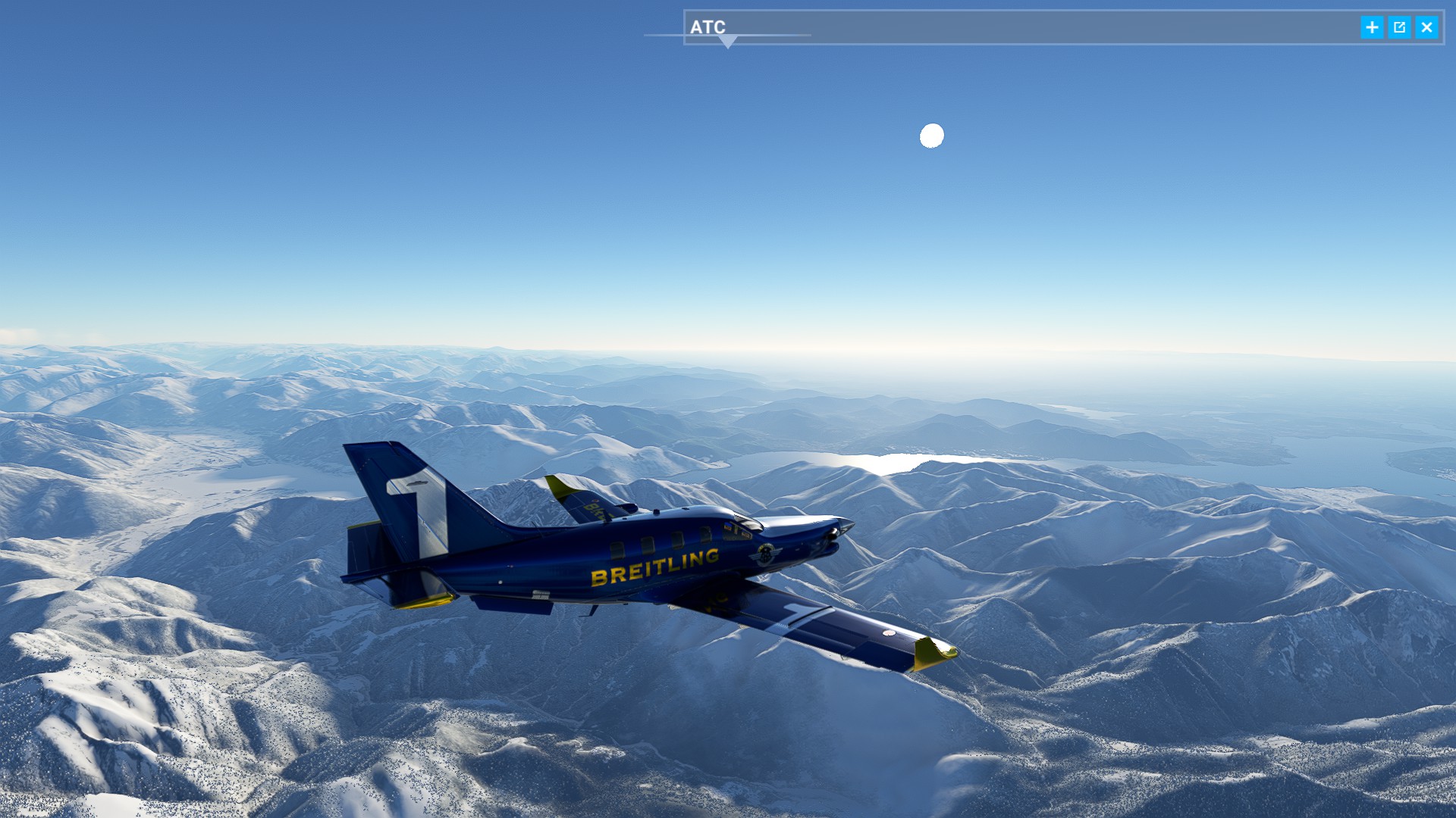
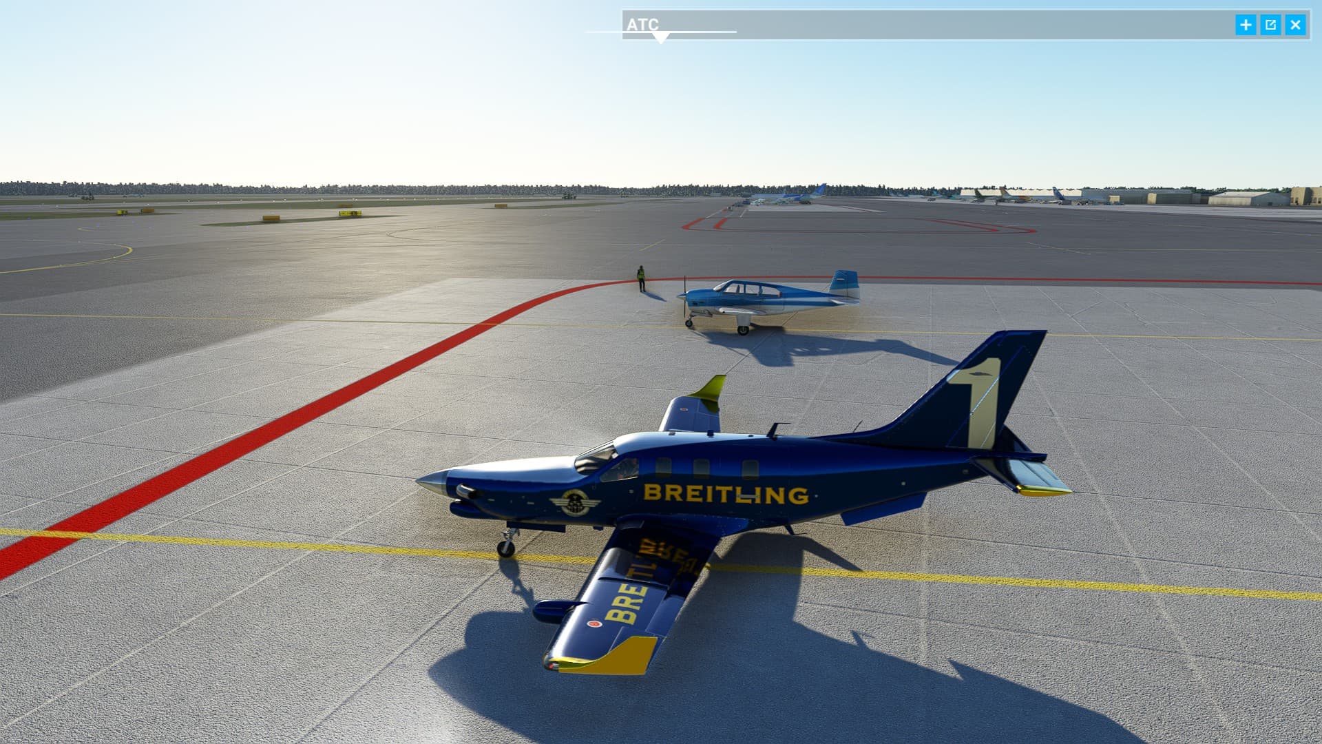
Zurich - Milan taxi service, with one engine hopping over the alps, why not.
And so, we live again!
6 Likes

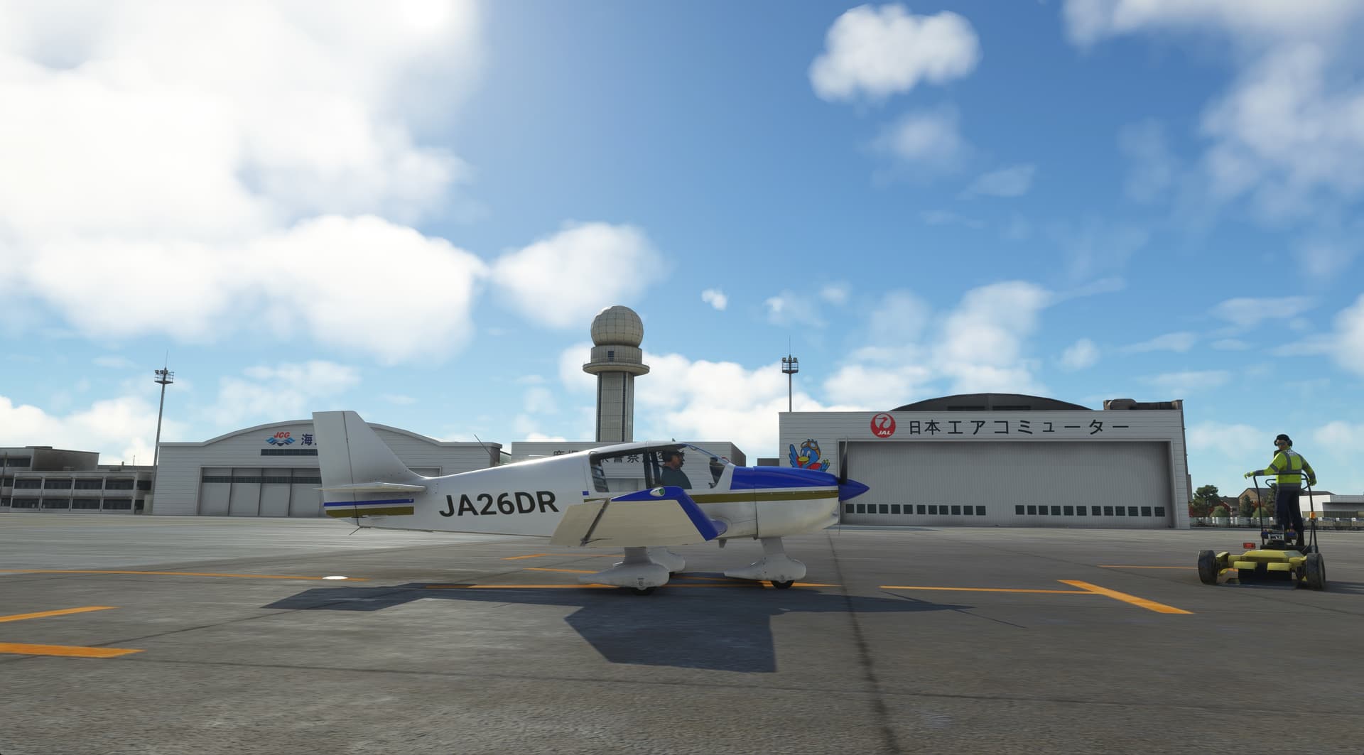
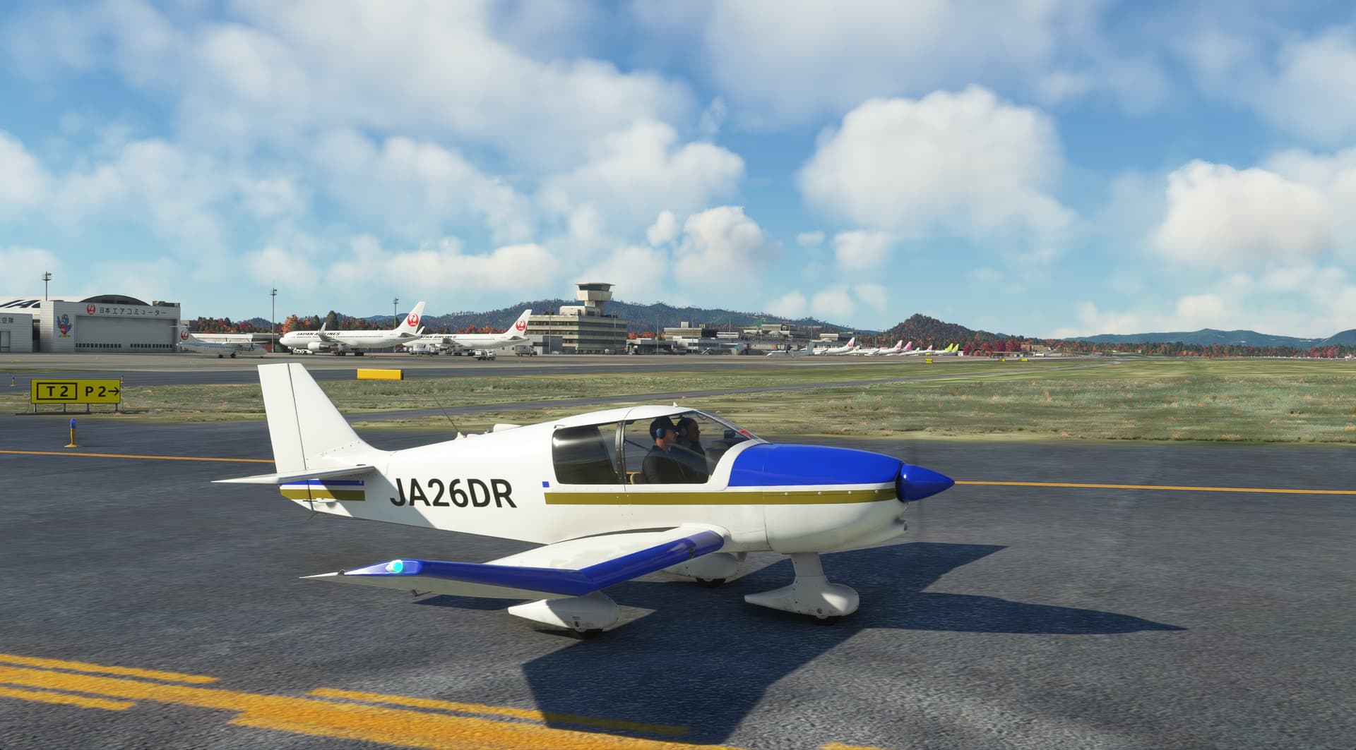
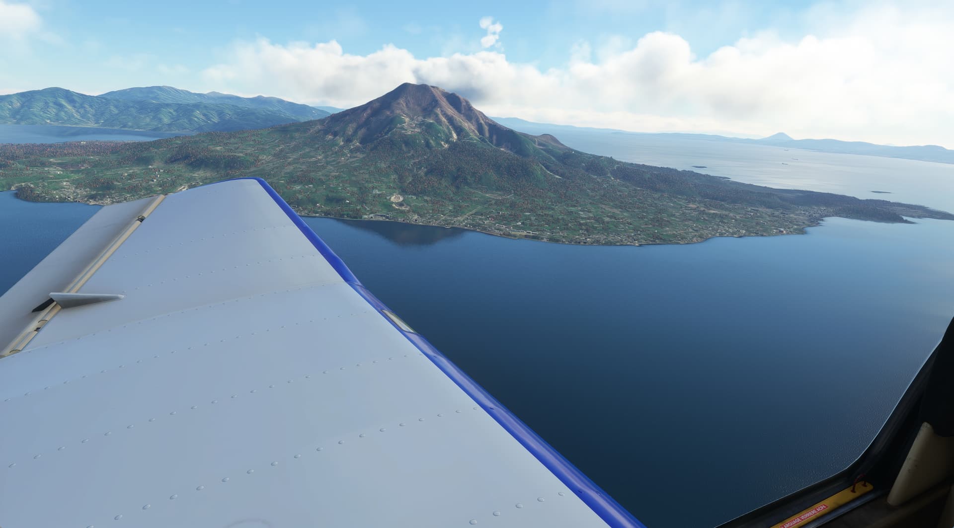
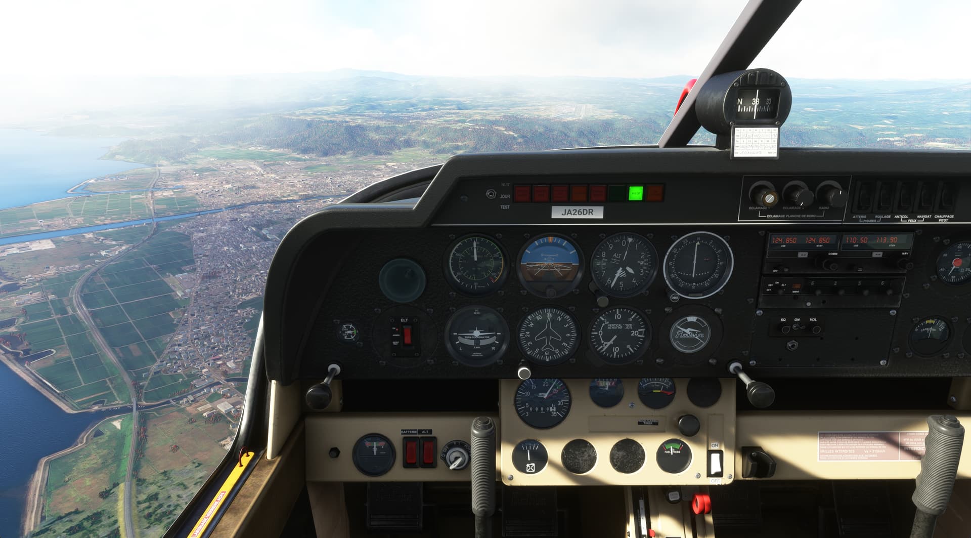
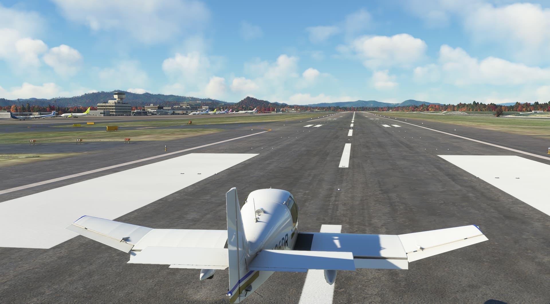
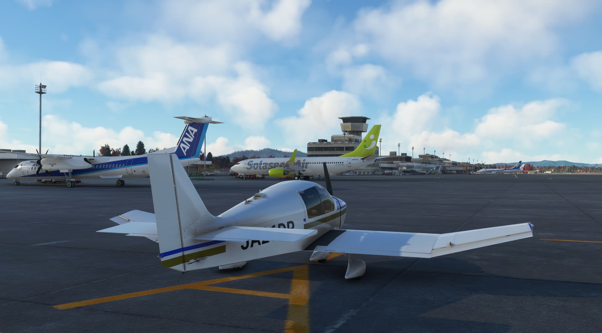
Another in the ‘Sim-plane-I’ve-not-yet-flown-since-I-started-three-years-ago’ series’. This time I took the Robin DR400 around Kagoshima Bay. Left Kagoshima International doing a circuit to Kanoya and back to Kagoshima. Nice flight. Good ground handling.


7 Likes
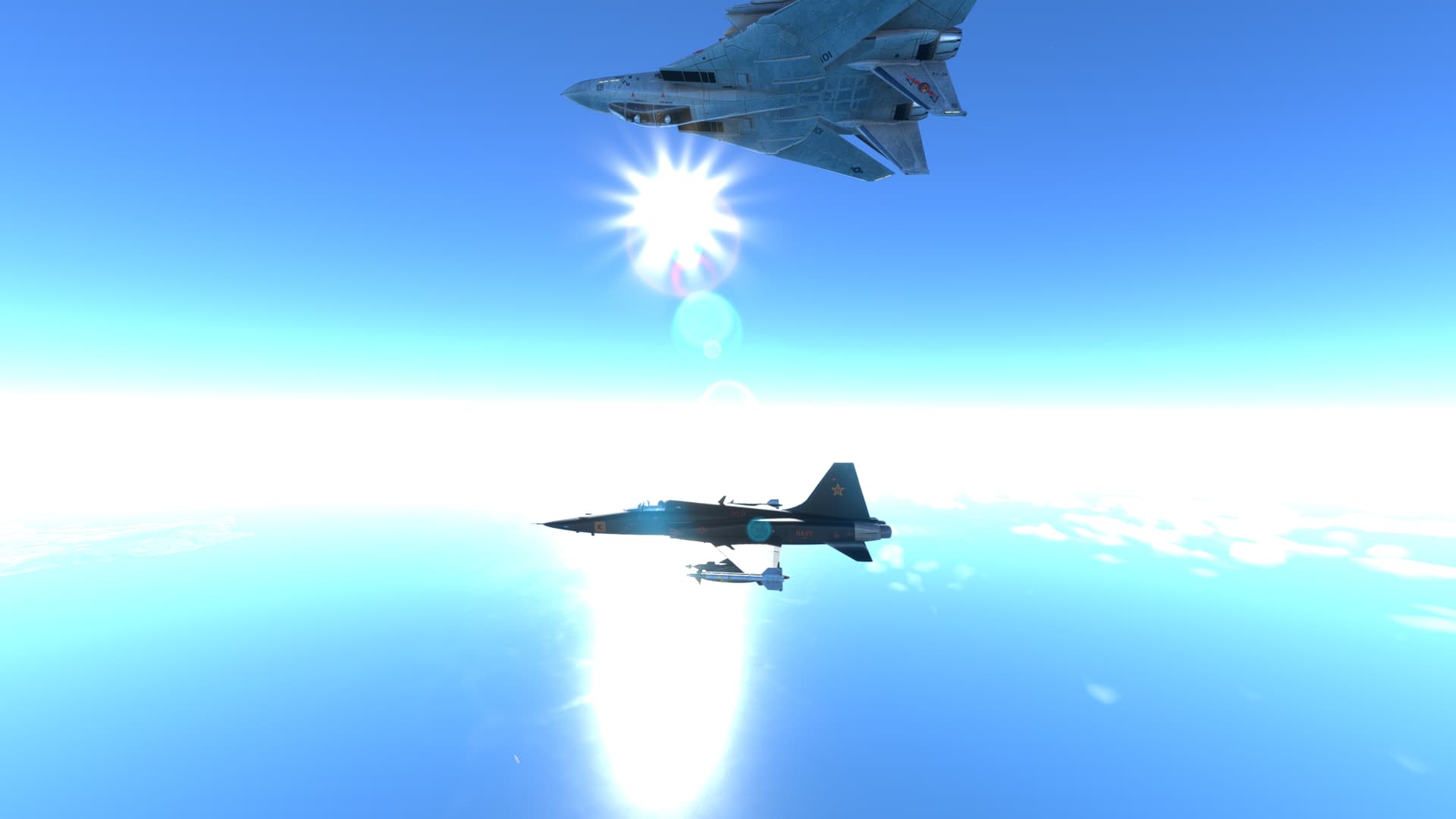
Now, if you could do it like Topper Harley…
1 Like
“Just lost a wing…”
“…there goes the other.” ![]()
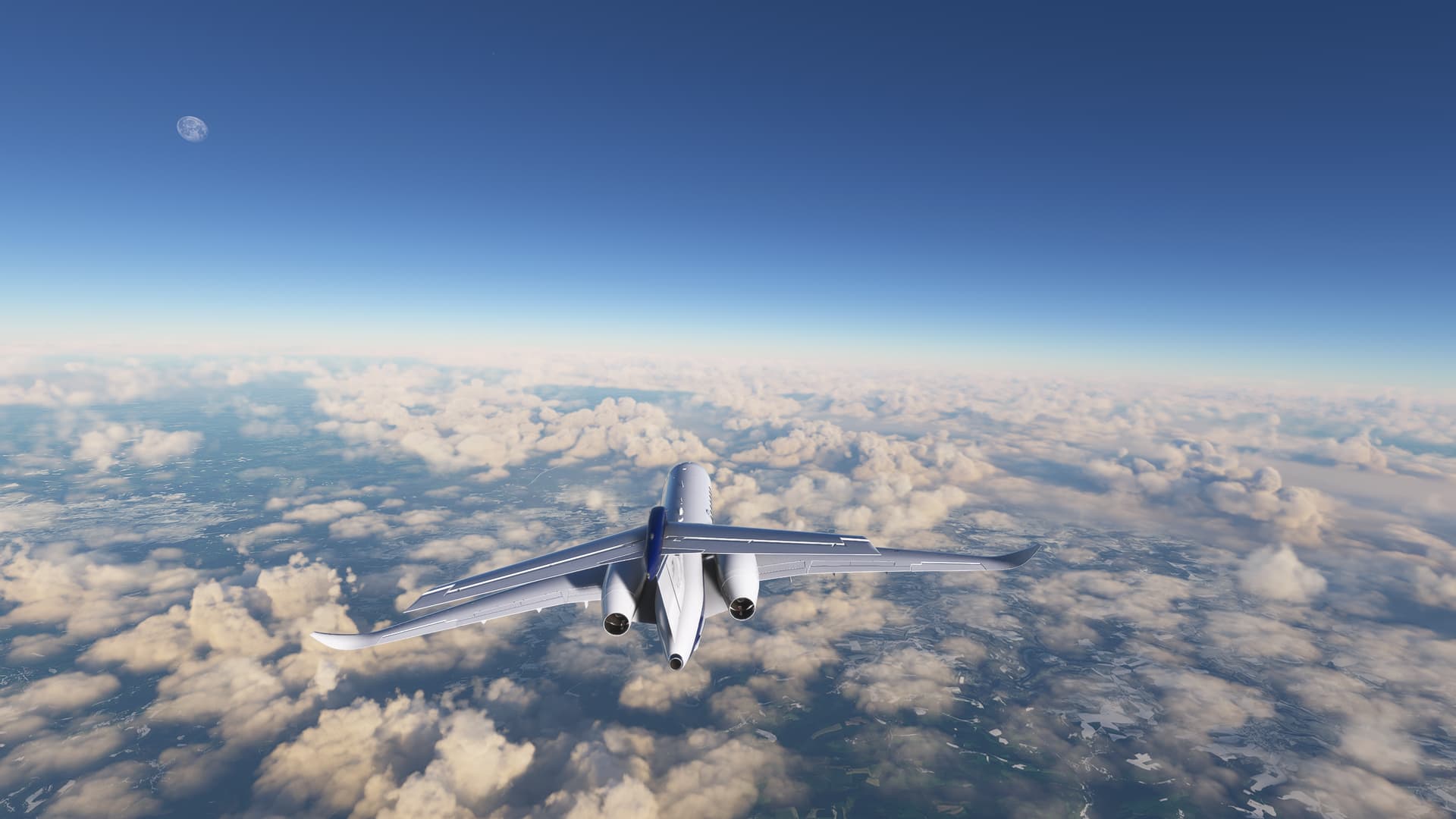
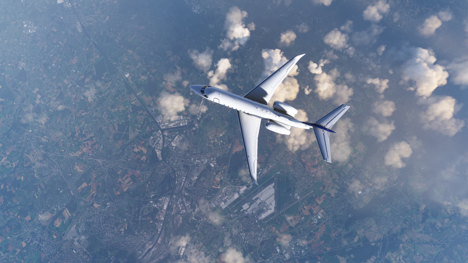
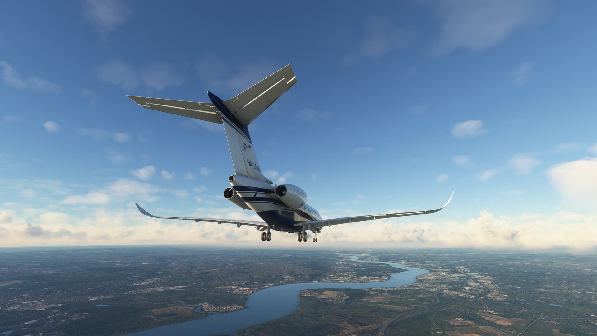
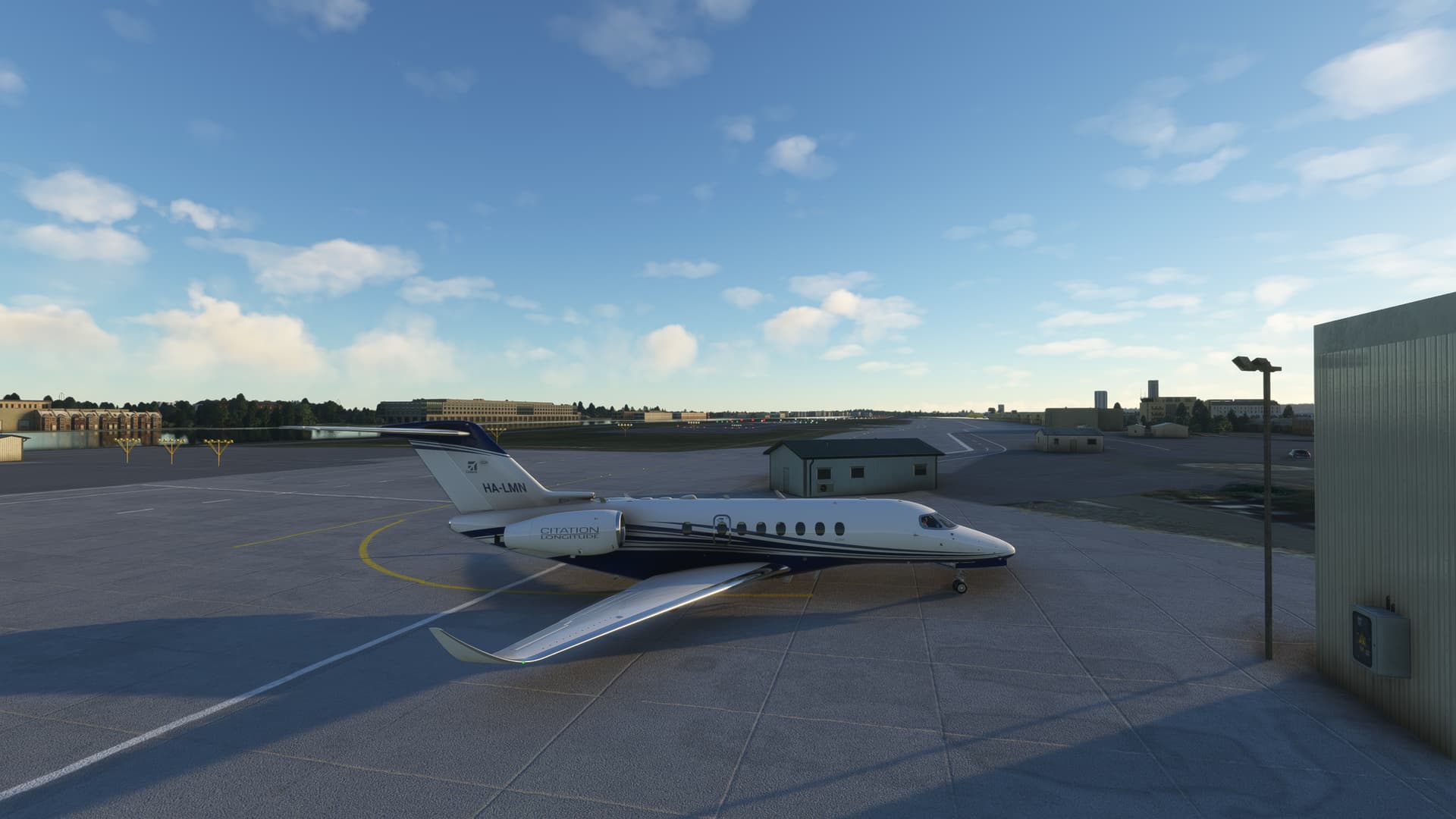
Took the Longitude from Luxembourg Findel (ELLX) to London City (EGLC):
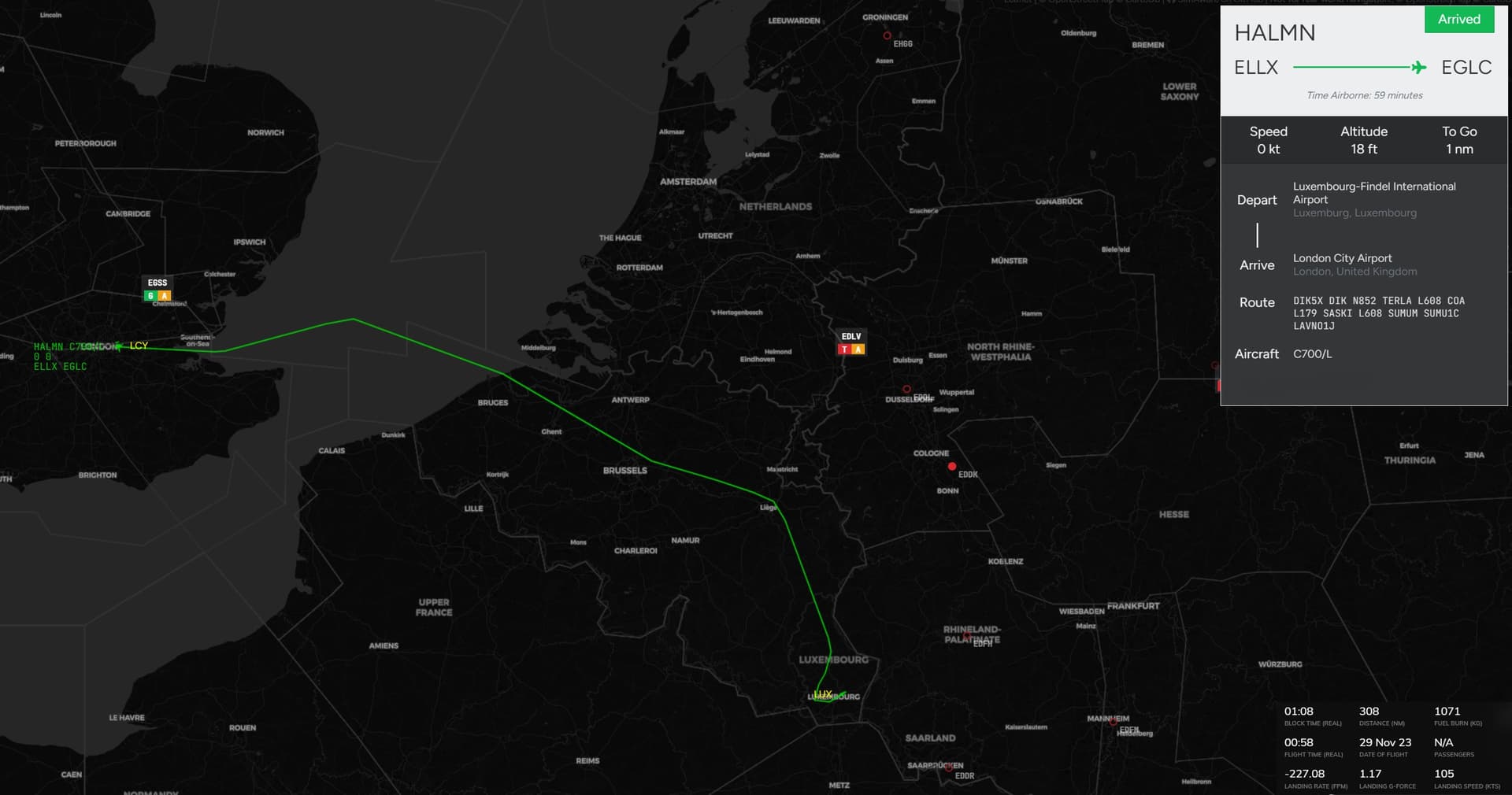
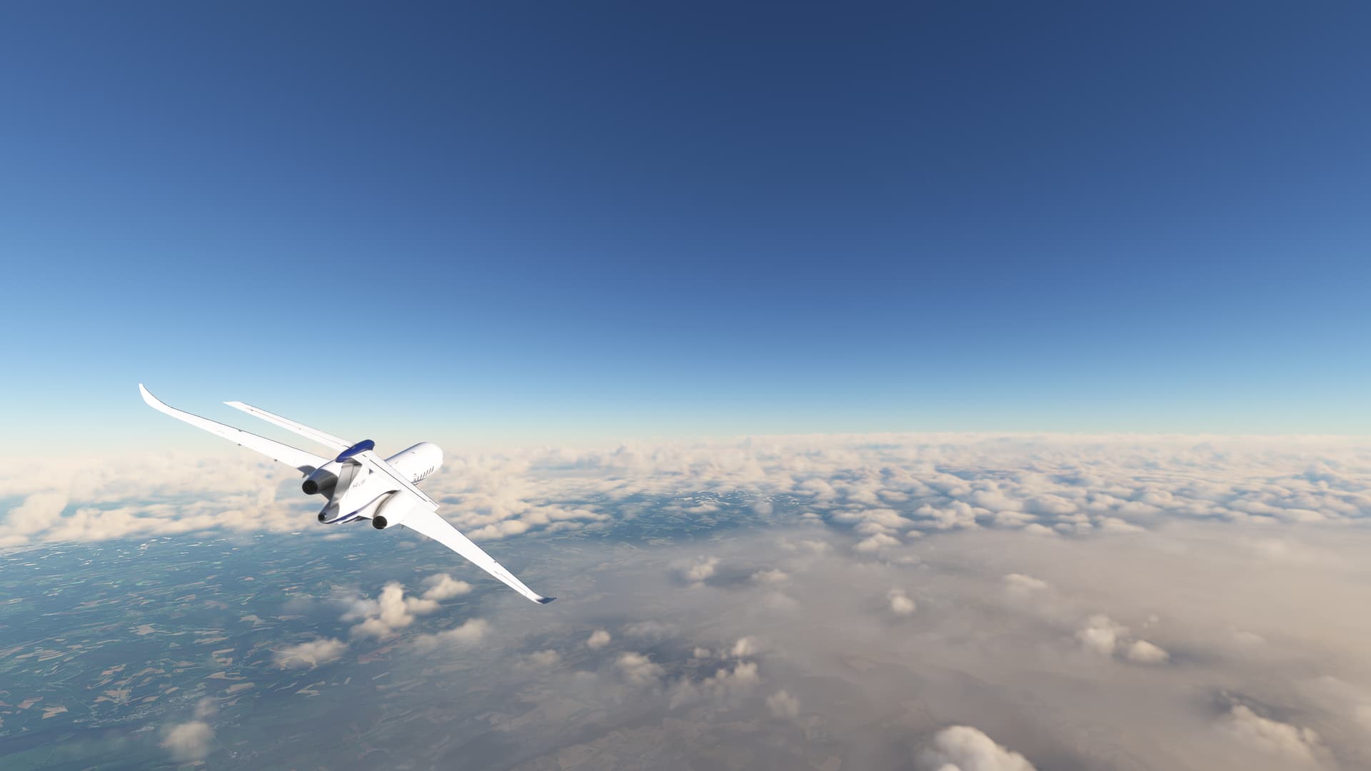
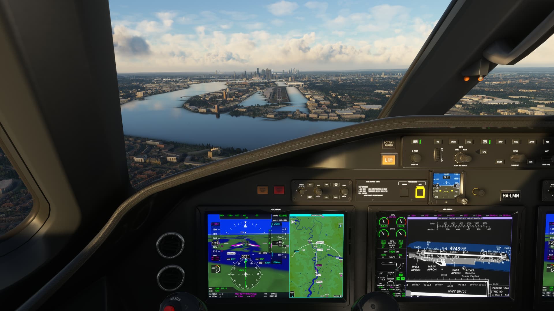
I wanted to try my new rudder settings on a proper flight using the Longitude and though there was just no ATC online, I had a nice flight. Didn’t much need to use the rudders in flight or even at landing, but I do get better at taxiing with it. However I had to learn that they do not work while I try to move the camera with the mouse..
Full video later here:
 - London City (EGLC) full flight vatsim unicom C700 Citation Longitude")
5 Likes
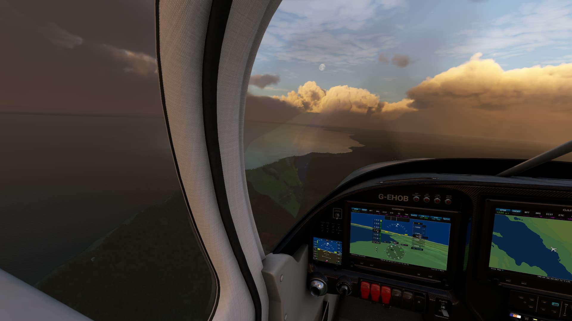
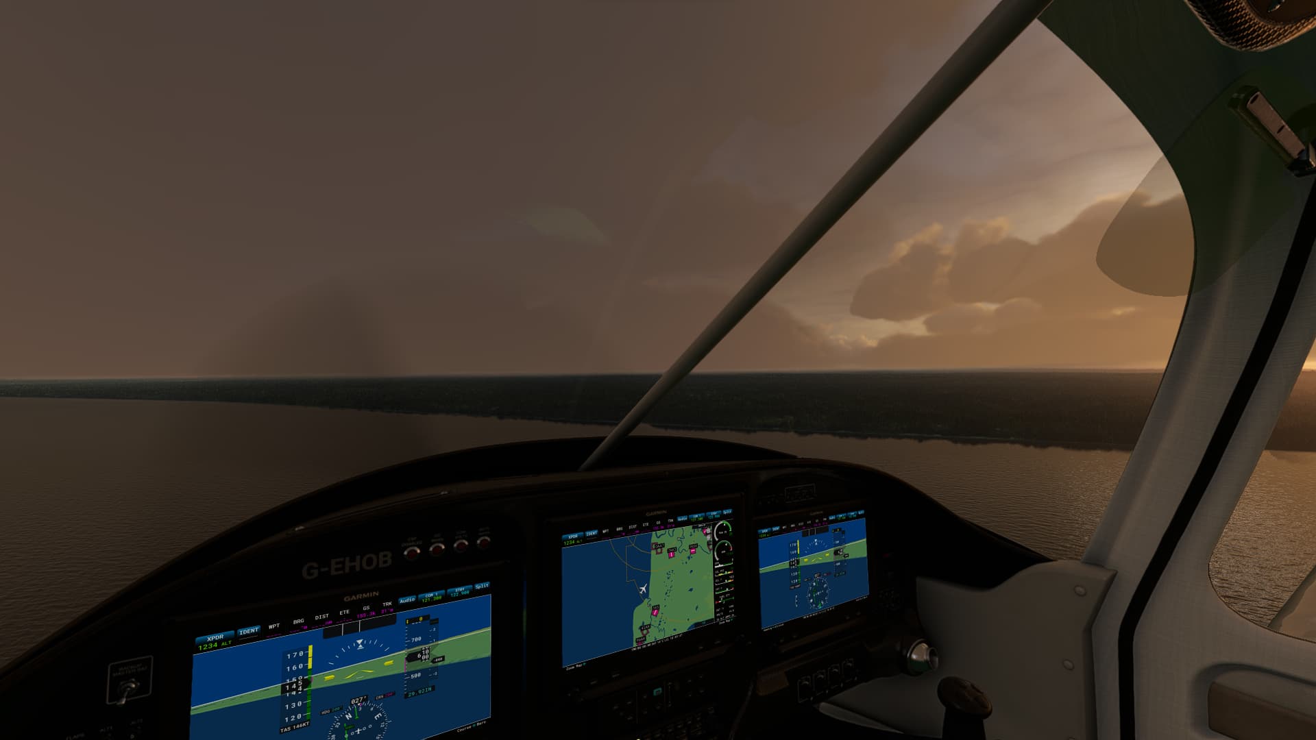
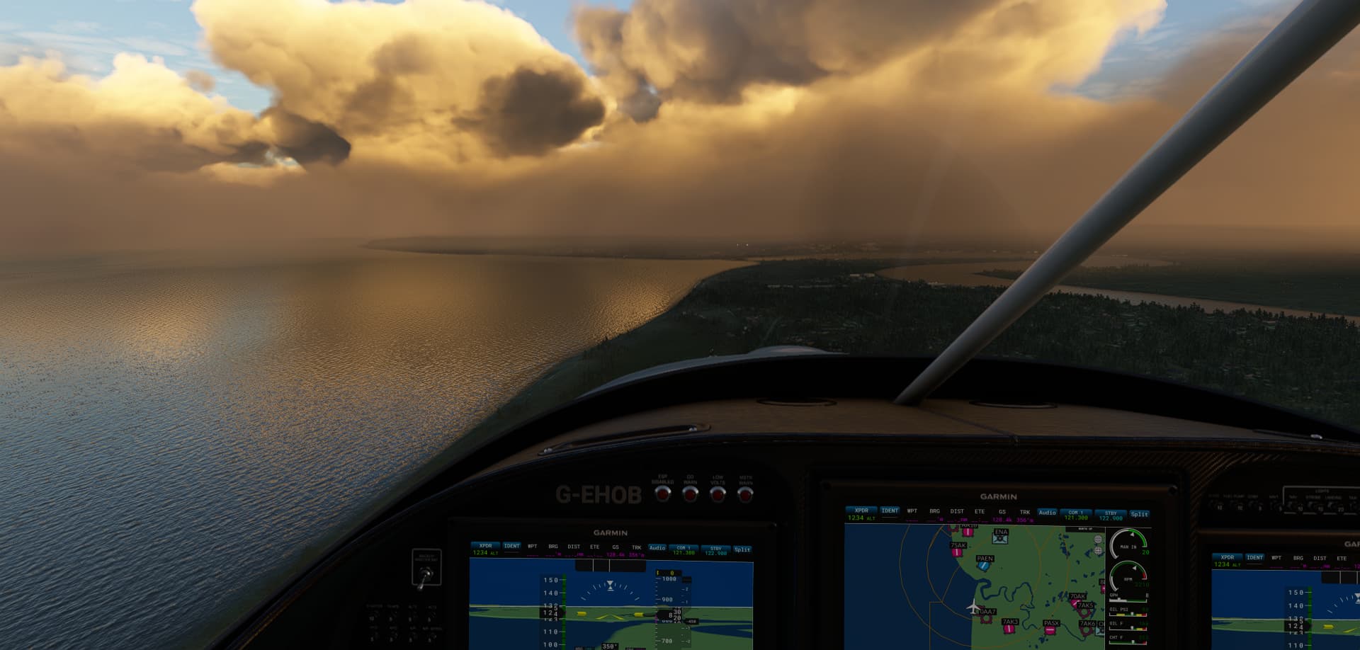
Took the SWS Vans RV10 on a flight across parts of Southern Alaska, trying out the new Navigraph sectional charts. Took off from Seward PAWD, along the coast till I spotted an interesting glaciar, and followed it West, then cut North West towards a lake.
On my way across Tustumena Lake, I was even able to make out the cabins the charts said would be there. ![]()
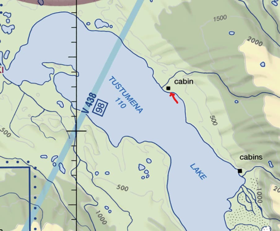
Copyright © 2023 Navigraph / Jeppesen
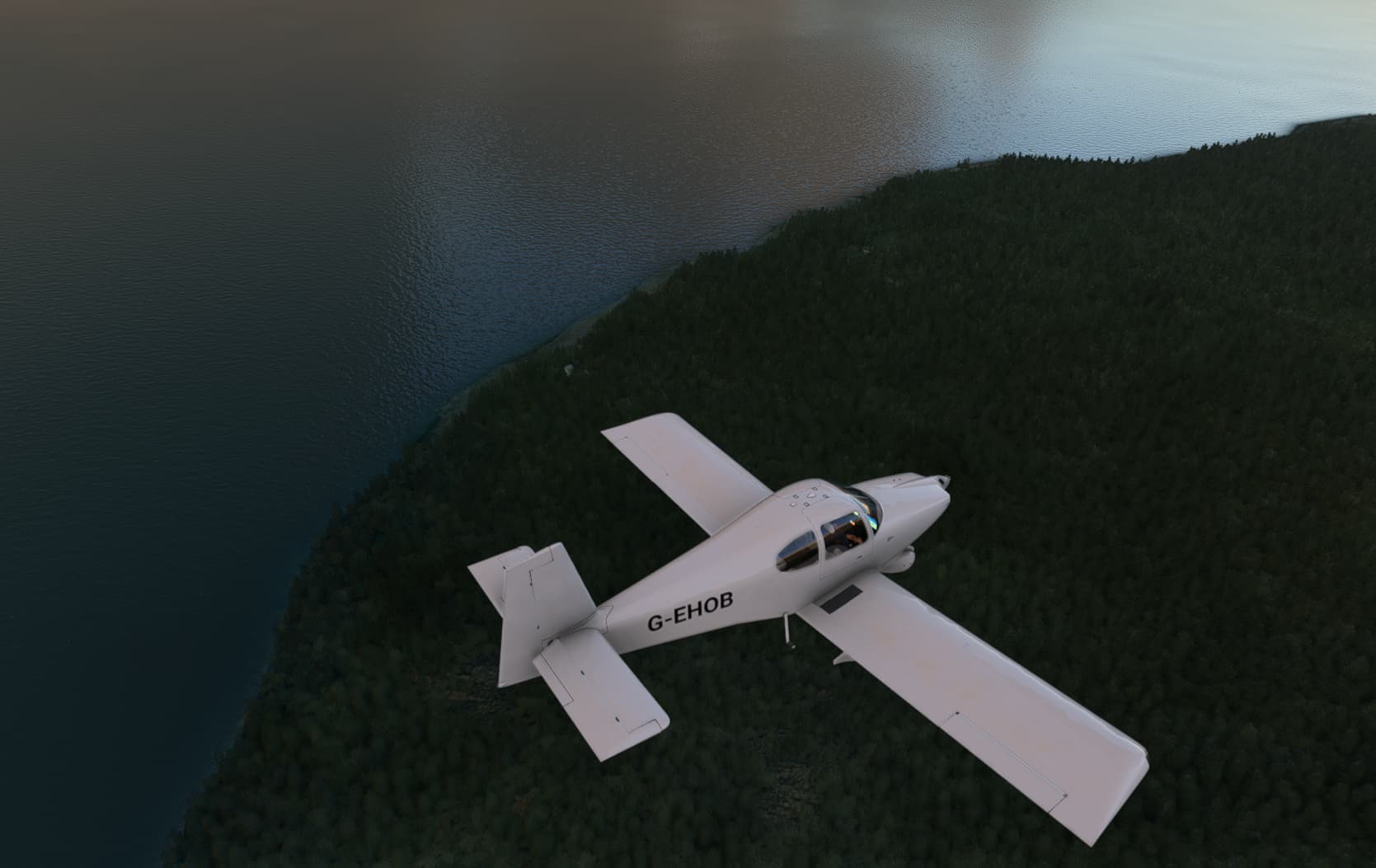
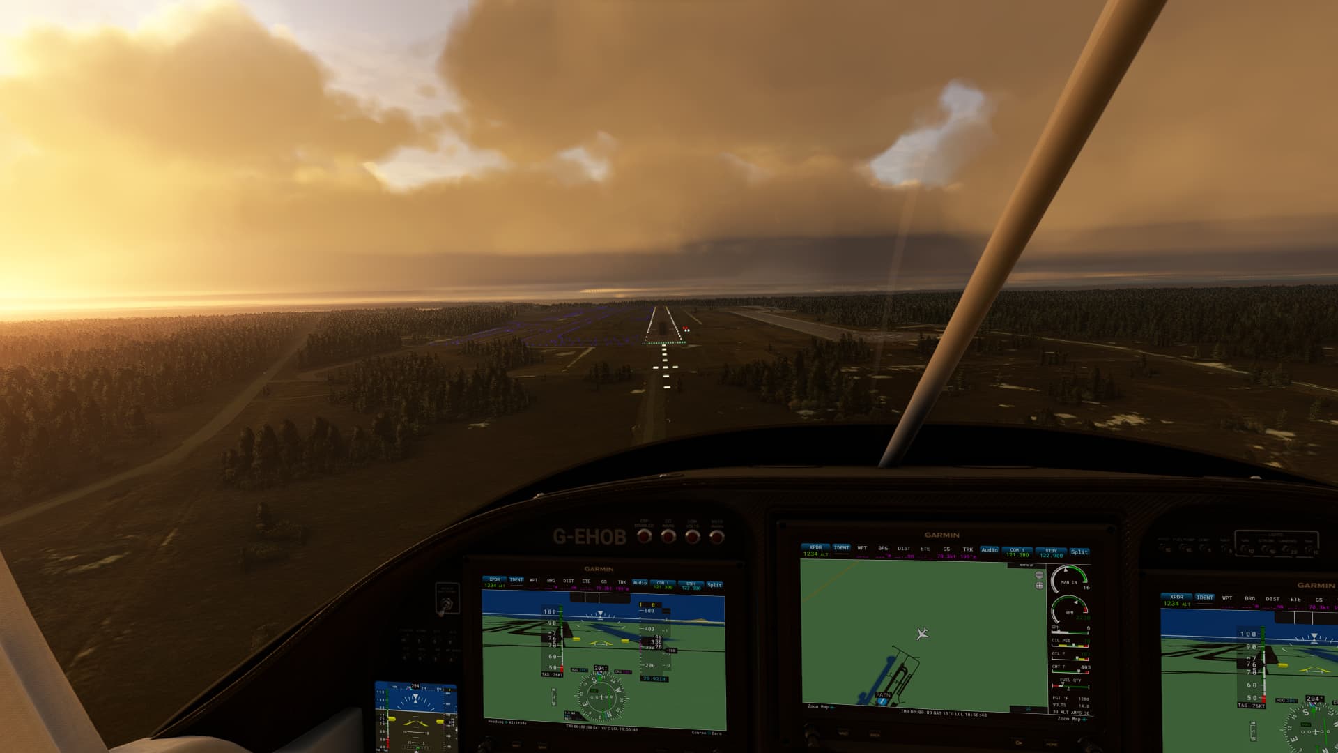
Hugged the Easterm coast of the lake while continuing to head North West, to arrive at Kenai Municipal PAEN.

4 Likes
you should try Vatsim!
It is the very best ATC!
Real pilots and real controller!
No computer voice which ruins your descend