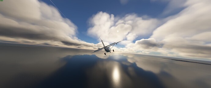
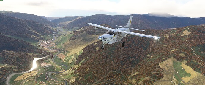
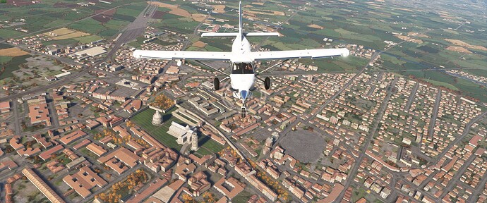
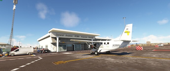
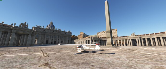
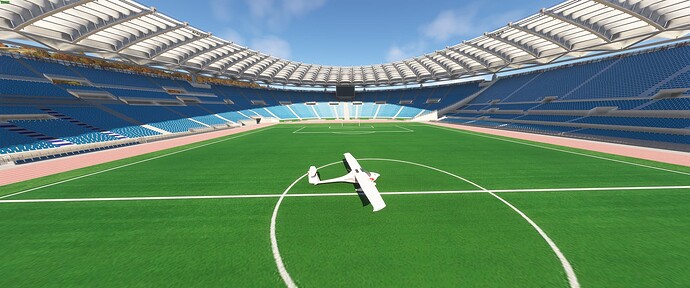
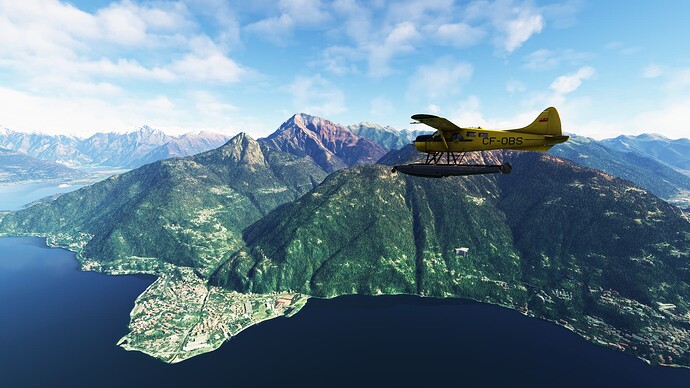
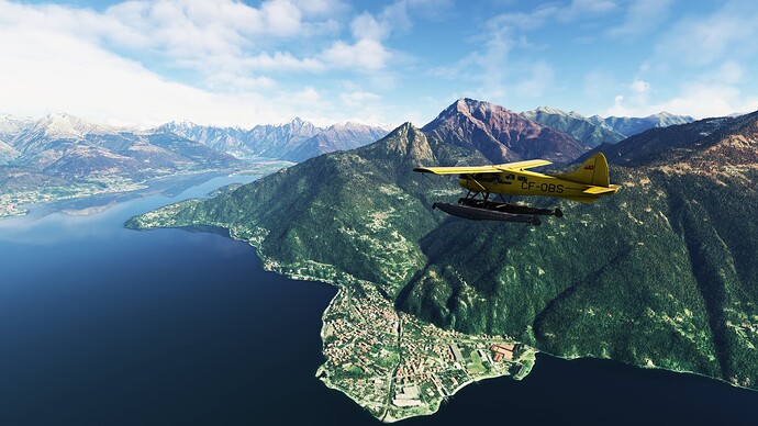
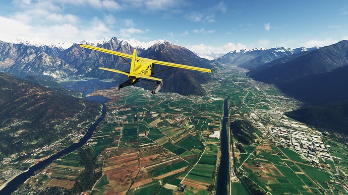
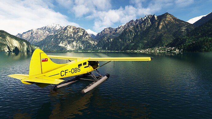
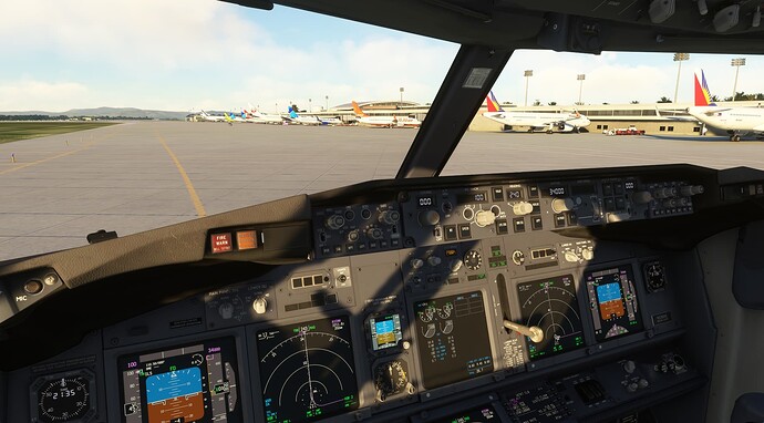
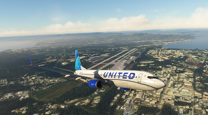
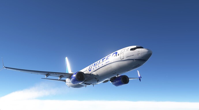
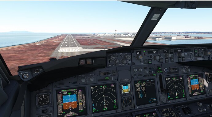
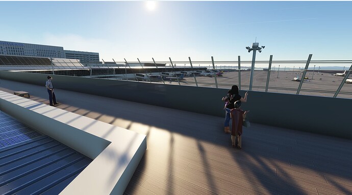
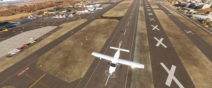
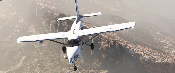
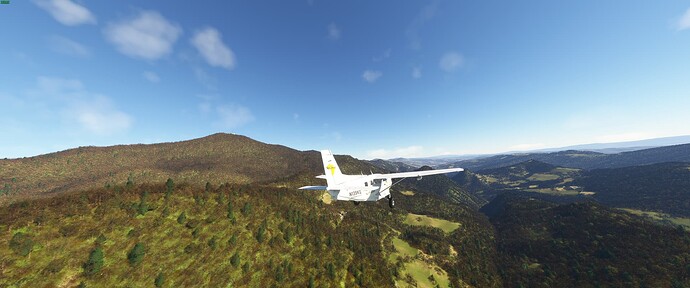
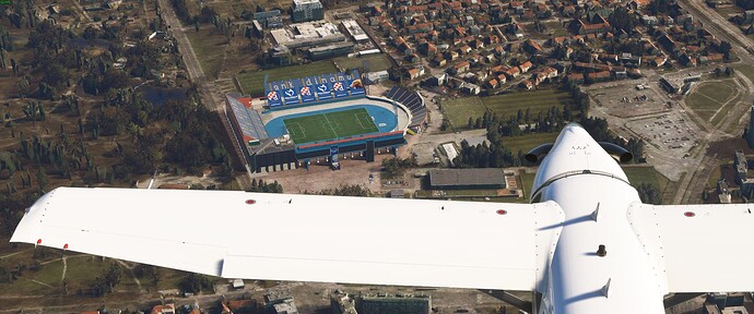
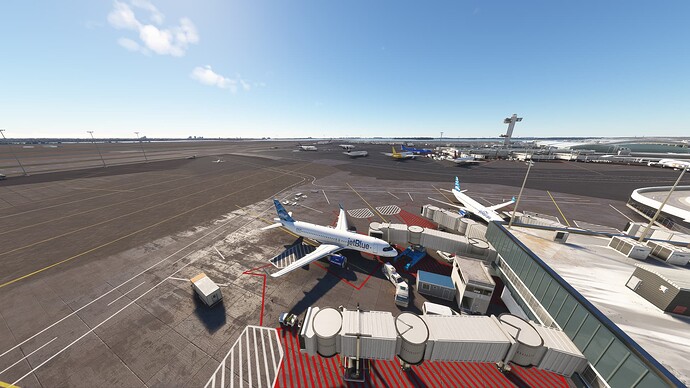
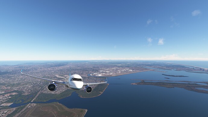
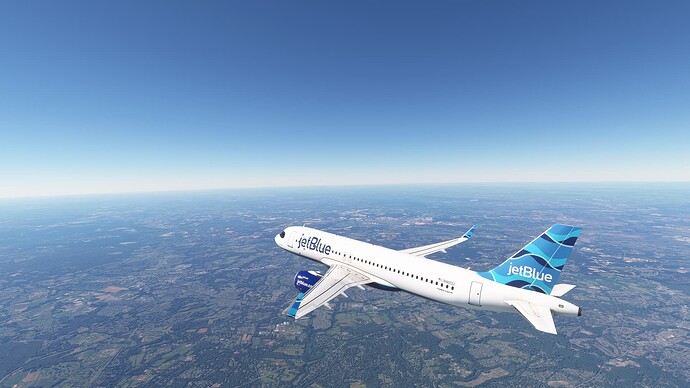
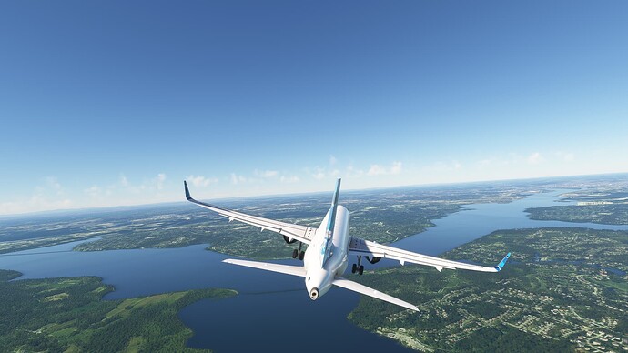
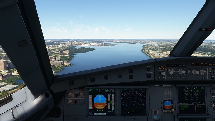
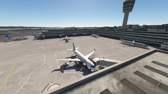
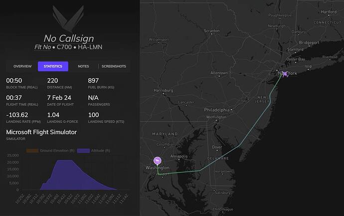
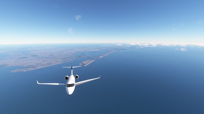
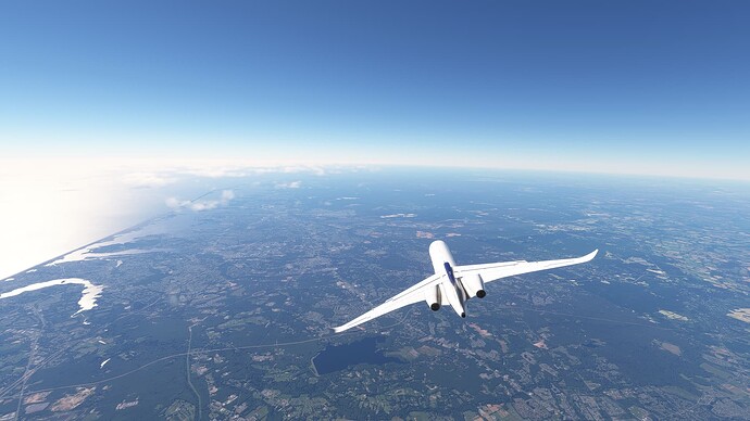
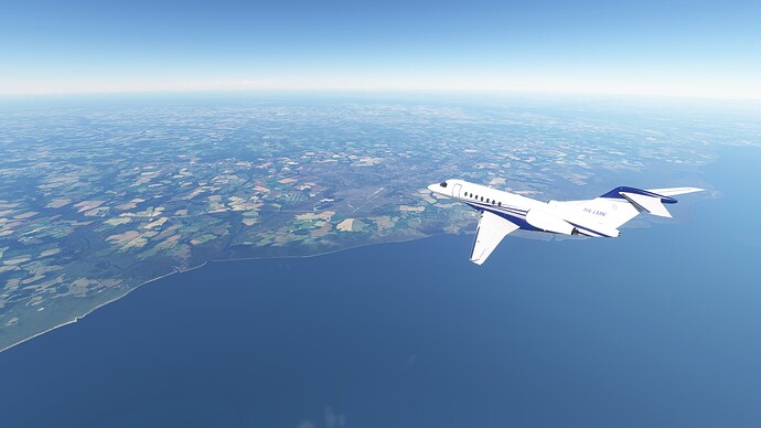
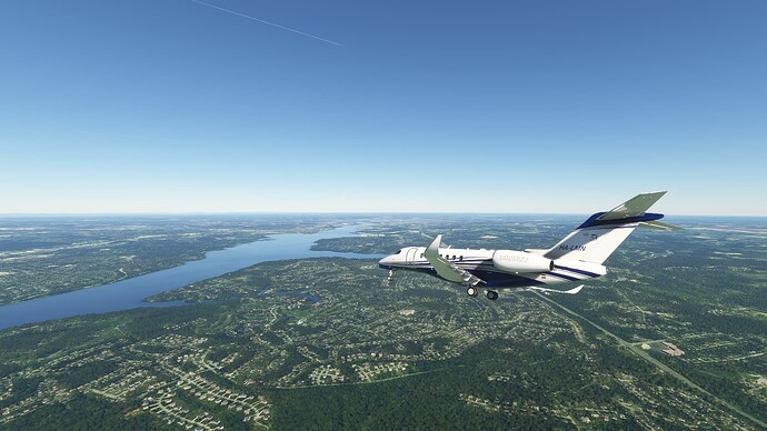
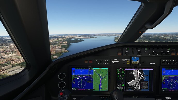
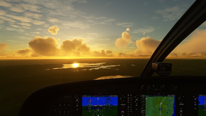
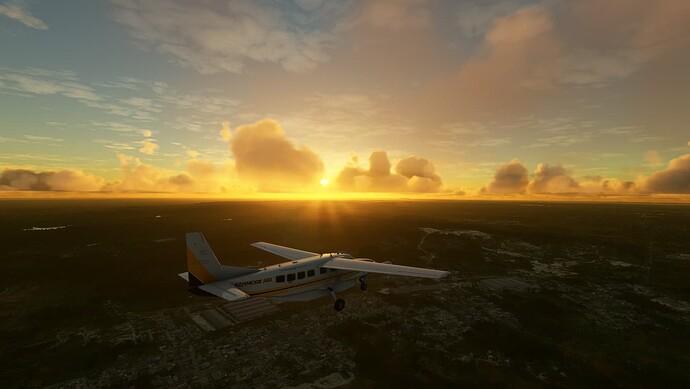
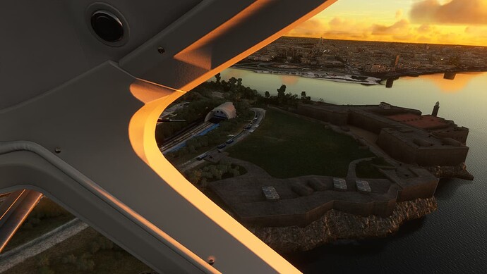
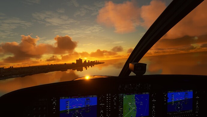
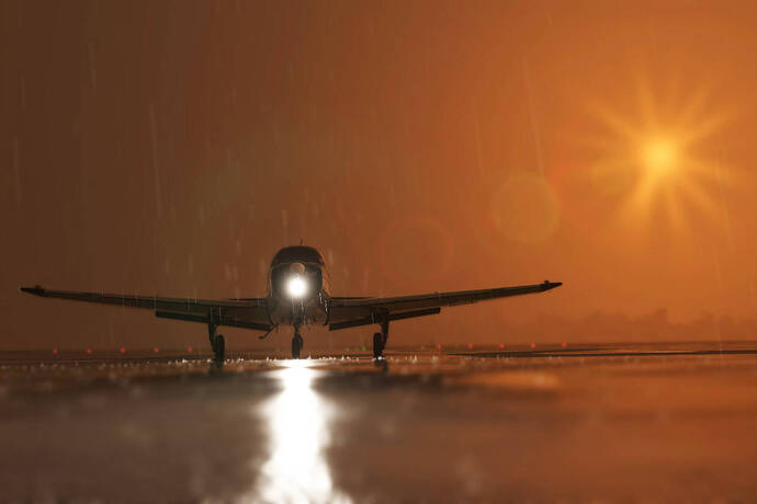
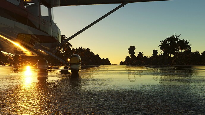
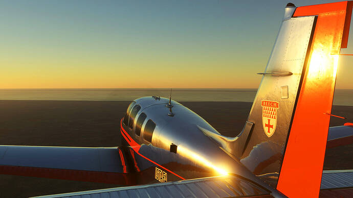
Flew from Nice to Rome afterwards sightseeing got out of hand once again.
PABR to PAOM in the dash 7
Tried, for the third time, to complete the Carribean Bush trip. Unfortunately, the sim always hangs during Leg 5 of the Carribean Haiti & Dominion Republic Bush Flight just before waypoint #9 (Laguna Bavaro):
Looks like I’ll never be able to complete it. For now, I’ll go back to free-flight. Hopefully, I’ll not have any issues there. ![]()
Every time i jump off airliners (and i should do it more often) i remeber why I was so amazed and impressed by the sim. Truly a remarkable experience
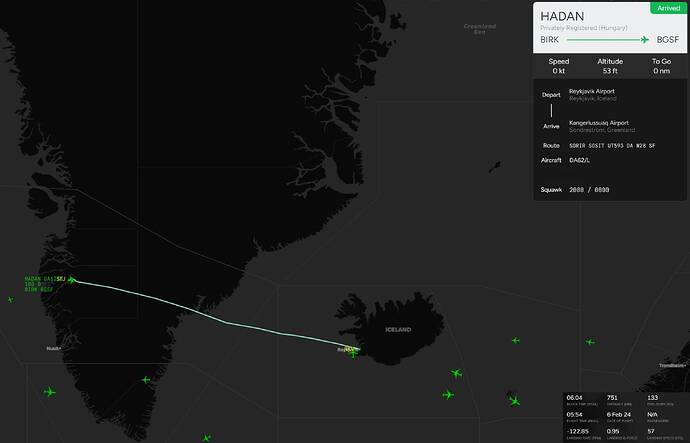
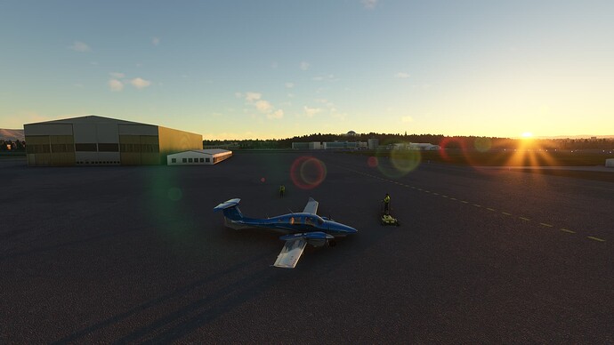
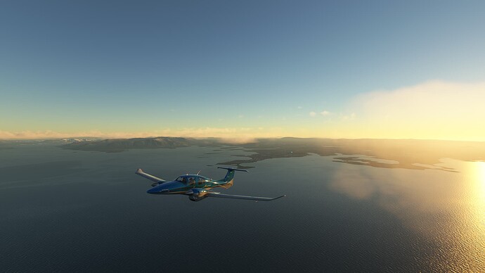
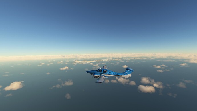
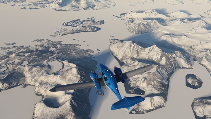
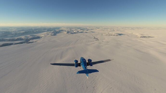
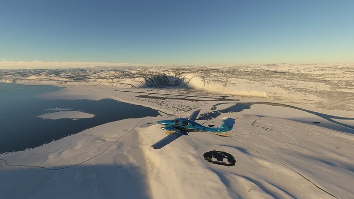
I’ve been wanting to do this for a while, but couldn’t find the time to do it, however today I managed to do the fifth leg of the Micke Lang DA62 ferry flight from Reykjavík (BIRK) to Kangerlussuaq (BGSF):
Full video:
PAOM to PABE in the dash 7
Pottered around St. Kitts & Nevis for a while:
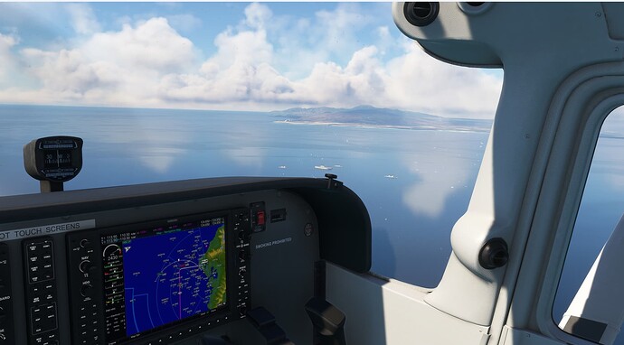
Then started the Cuban Bush Trip:
Leaving Antonia Maceo Intl (MUCU):
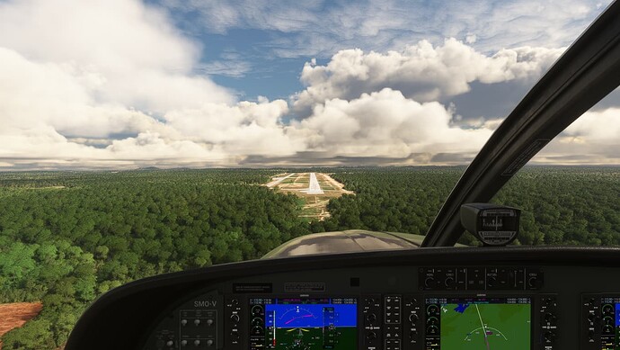
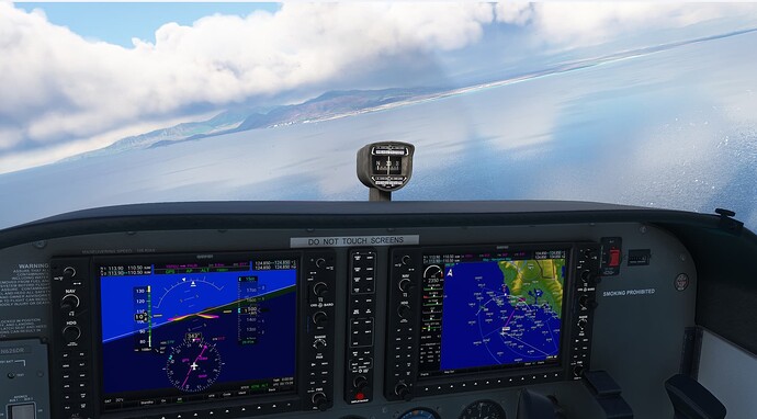
En route to Frank Pais (MUHG:)
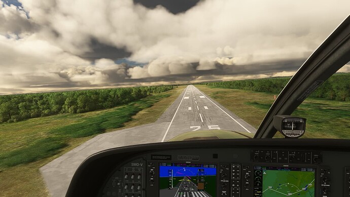
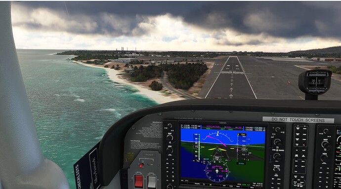
Arrival at MUHG:
I’ve found the way the Bush Trips change all my assistance settings incredibly frustrating, so much so that I paused the flight, searched the forums, and found this thread that describes how to stop this.
So, No more annoying HUD in exterior views from now on!:
Arrival at Maximo Gomez Intl. (MUCA), end of Leg 3:
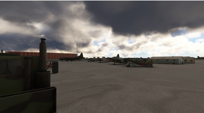
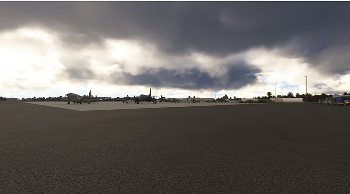
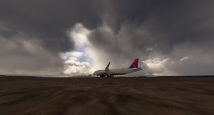
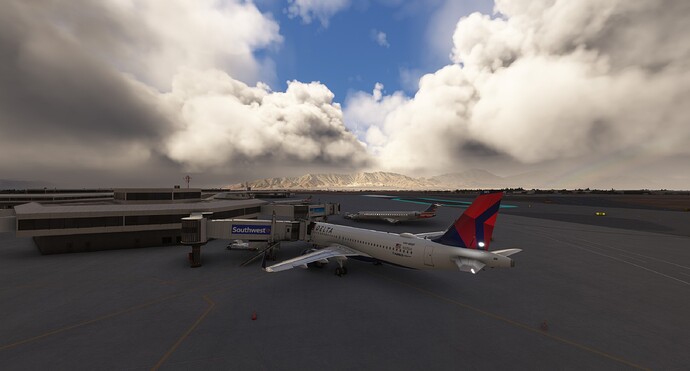
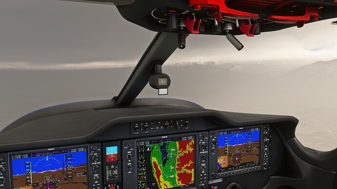
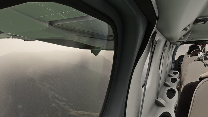
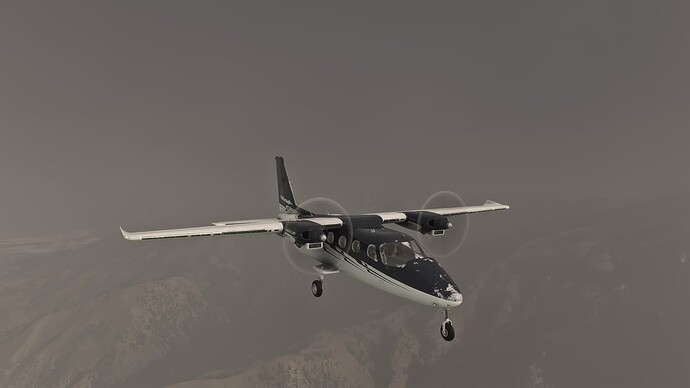
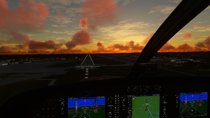
I did a flight earlier tonight from KSFO to KELP (El Paso) . The weather was a bit mediocre at El Paso, but through a gap in the clouds the sun was shining on the mountains.
From Iceland to Ireland we go, doing the weekly flight solo style as per usual. Checking out one of the two new planes I bought a week ago. I admit things got a little screwy but I got things worked out.
Flew PABE to PAVD in the dash 7
Completed the Cuban Bush Trip.
Left Maximo Gomez Intl. (MUCA), heading for Abel Santamaria (MUSC).
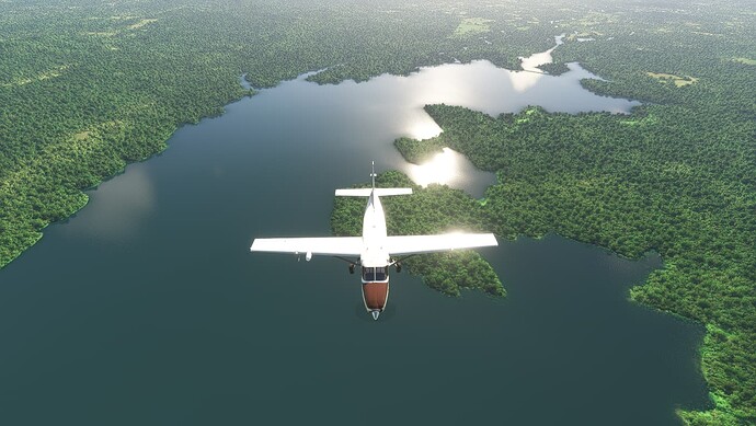
One flies over mostly agricultural land, with a few lakes & forest areas to break the monotony:
Over the coast range:
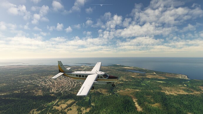
Back on the coast, heading north to Jaime Gonzalez (MUCF):
The next leg takes us to Colon (MUCO).
Let’s hope I make it before the sun sets:
Yup! And there’s still enough time to do some quick sightseeing over Havana:
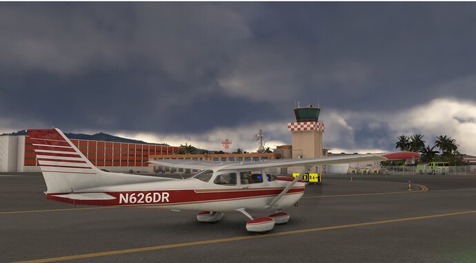
End of the road:
[Edit - removed some pics. Got carried away & had more than 10! ![]() ]
]
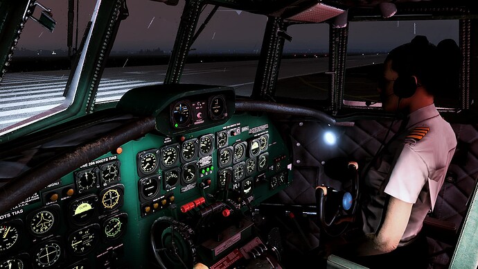
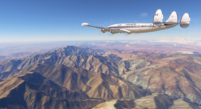
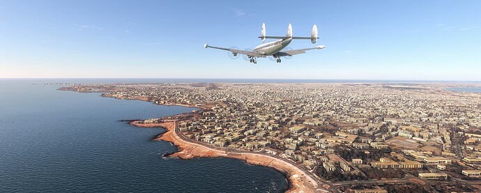
Paris-Dakar (not the rally raid)
Early morning, ready to leave a rainy Paris Orly
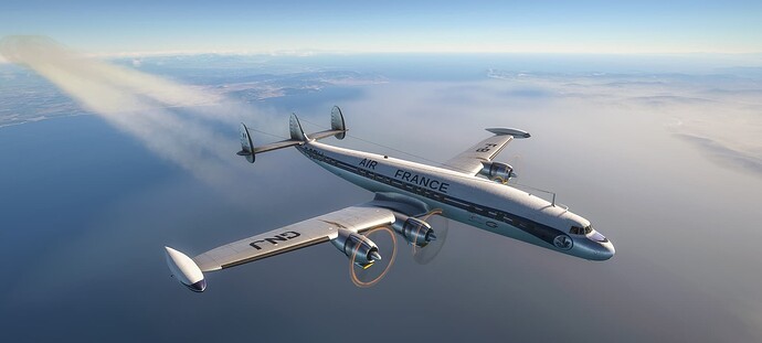
Europe---->Africa
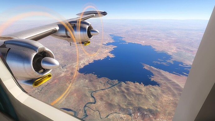
Al Massira Lake
Atlas Mountains
Finally, landing at Dakar
That was the longest leg of the scheduled passenger service from Paris to Abidjan operated by Air France, with stopovers at Dakar and Monrovia.
