Europe is next to finish off the heavy hitter areas for Xbox.
Seems like they’re scouring DEMs directly from govt agencies so I can see how Europe would be hard to negotiate. In the US, you only have to pay and stay at certain hotel brands to get favors.
The Bing team has said they have had flights out collecting new aerials. US is probably the most complete and readily available. I would imagine it is going in phases.
Flight to get new terrain data
Integration into the platform
Fine tuning and building airports ect.
One can be started on another area once completed. That does not mean they are not working on other regions.
Why is it so hard to understand that things can be worked on in parallel. It is not work on this till it is 100% done and then move on.
On a 2-3 month cycle they are already gathering data for the next region. My guess would be the UK.
Alot probably has to do with weather. Clear skies allows for better data.
I could have said the same about your OP, but I opted to be kind.
It means that Japan has always been neglected in terms of details in all flight simulators, and even third-party add-on developers have always released fewer products to improve Japan compared to most other major countries.
If anything, Asobo/Microsoft have been remarkably less US Centric than any previous sims by releasing a detailed Japan first.
On a 2-3 month cycle they are already gathering data for the next region. My guess would be the UK.
Alot probably has to do with weather. Clear skies allows for better data.
Whats the issue here, I mean they could have left the world as is and it still would be the most impressive stock world map we have ever seen in a sim. They’ve acquired new data for the USA and so they are excited to expand on it, I’m excited to see it. I’m sure we will see improvements elsewhere in time, we’ve just had an amazing improvement to Japan.
Japan is smaller and it was the first, likely chosen as a refinement of processes for larger scale areas. That and as others have said it has been neglected largely in past sims.
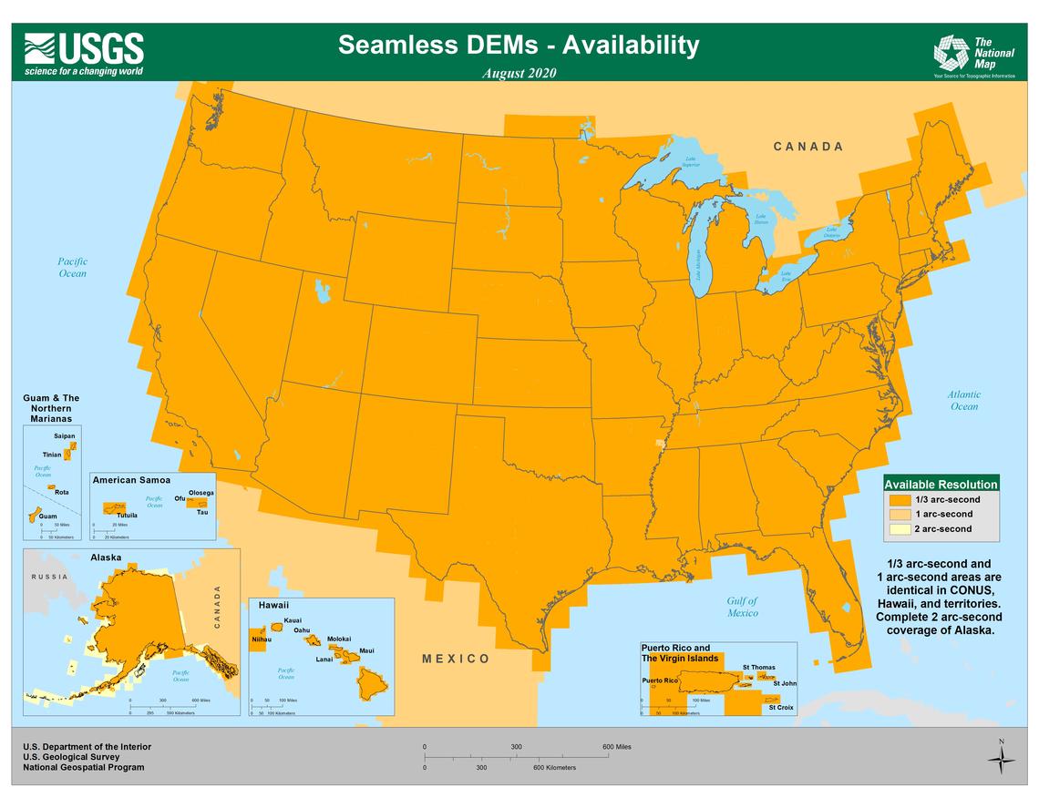
Probably another thing that helps with the US data integration is that they should have a fairly good starting platform from the USGS. I would imagine that this helps to reduce the amount of overhead work they need to perform and allows them to focus on areas that need higher details and quality. Can’t guarantee that they are using this data source, but it is a publicly available source that is free to access so if I was building a 3D model I would start here…
Another consideration is summer. Likely we will see after the next world update (I mean whatever comes next in line from the US, likely they have already done aerials on the next region after the US) something in the southern hemisphere so they can get mostly clean aerials without snow.
This is key in my options as having some terrain covered in snow while adjacent is not is big issue.
Summer generally allows for better weather as well.
@lolilol1975, a lot of this was discussed in the Live Developer Q&A this week. Especially around the 52 minute mark. The Bing Maps team is working with companies like Planet.com, and they know what data is scheduled to come out in the future, and at what resolution. Where it makes sense to update, they will. The US has tons of aerial mapping survey aircraft flying grid patterns every day. Getting ultra high-resolution data for the US was probably the easiest of all the places you mentioned. There will be many more areas to come on a 2-3 month rolling basis.