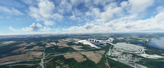
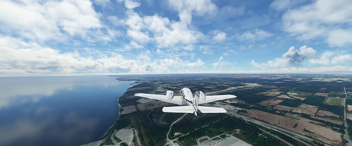
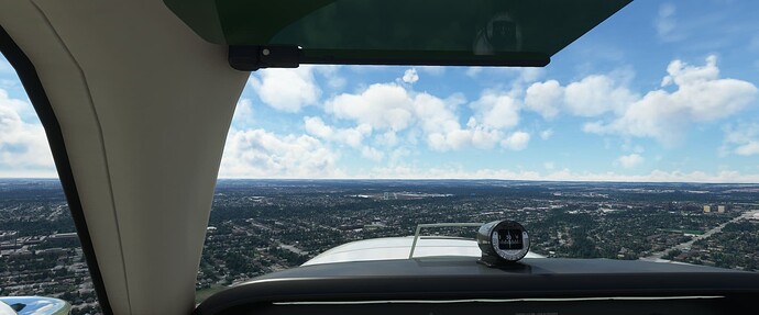
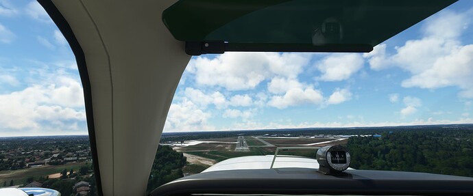
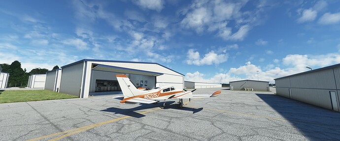
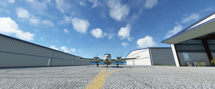
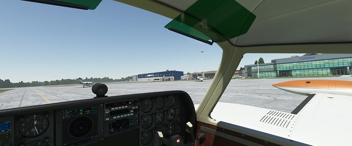
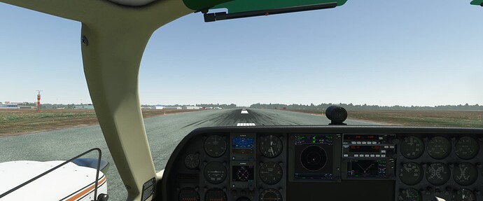
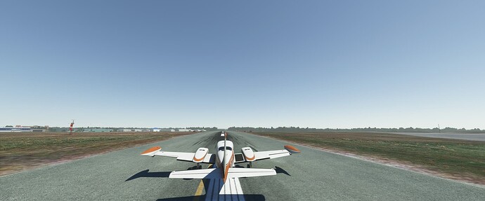
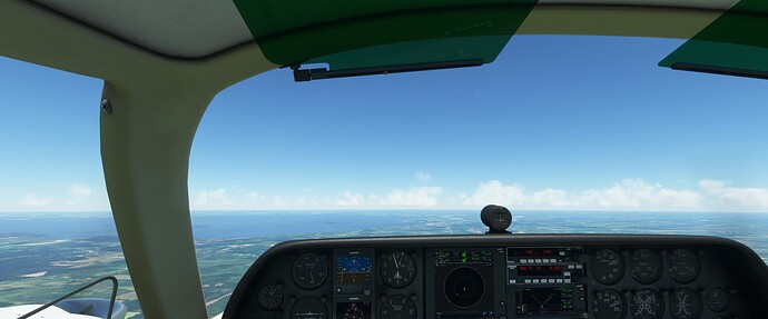
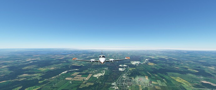
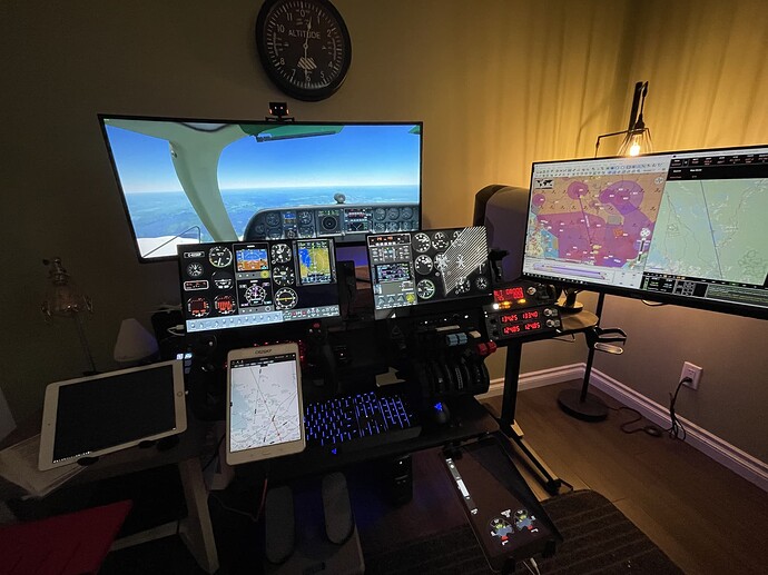
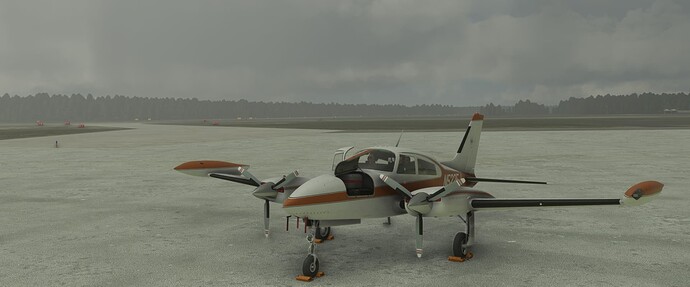
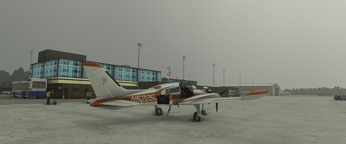
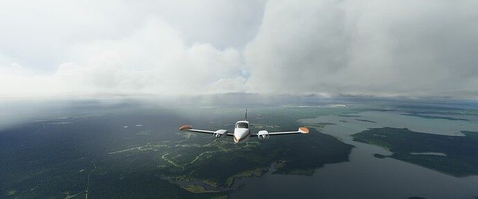
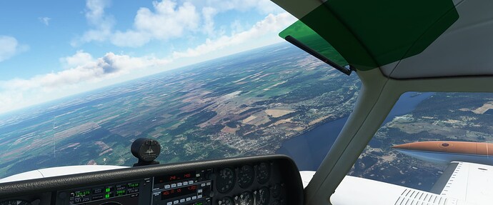
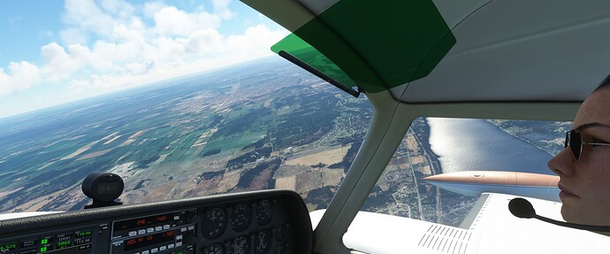
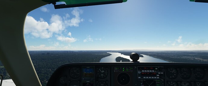
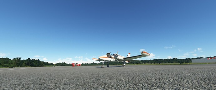
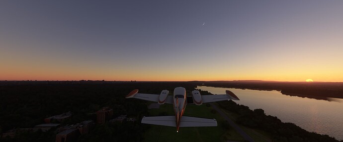
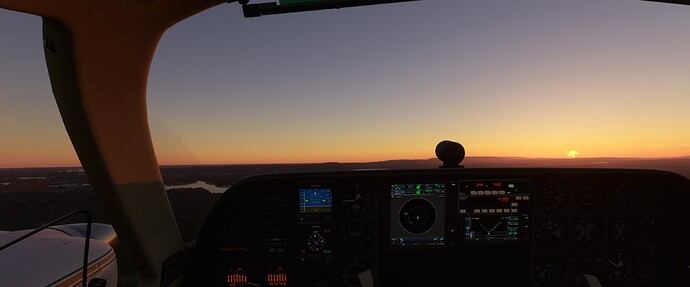
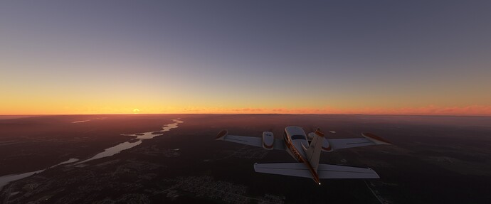
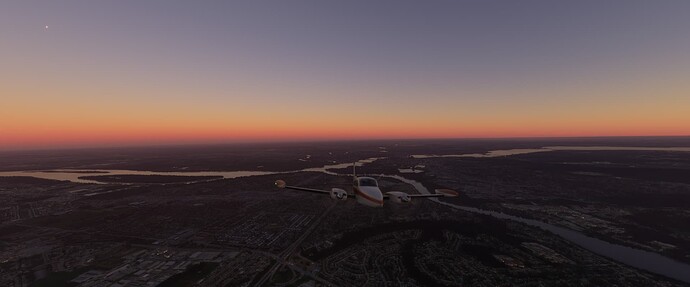
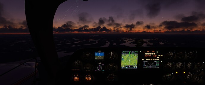
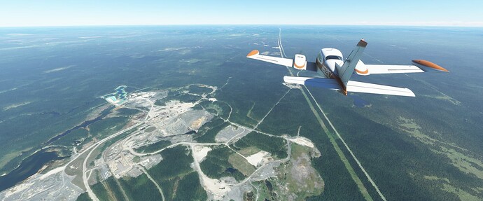
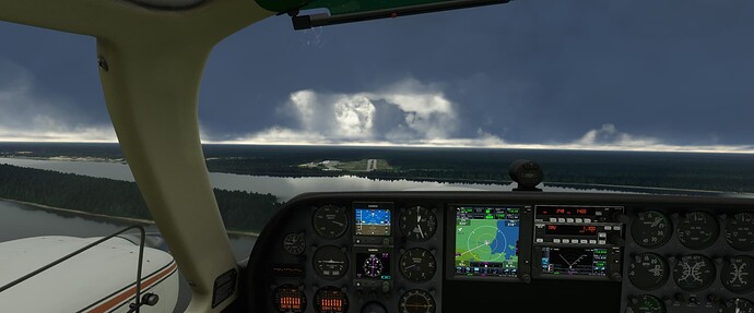
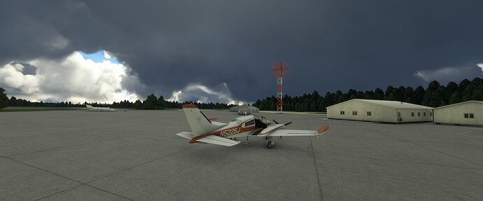
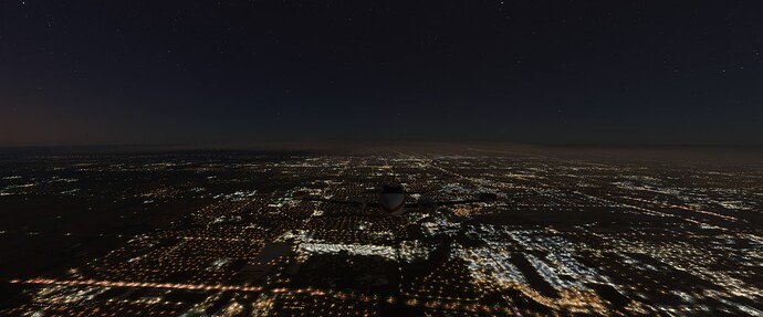
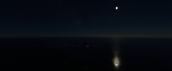
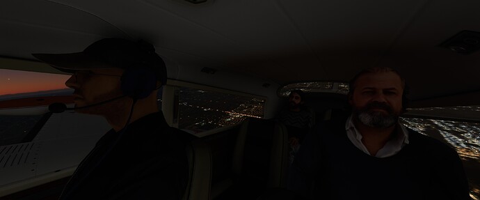
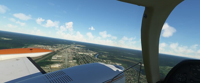
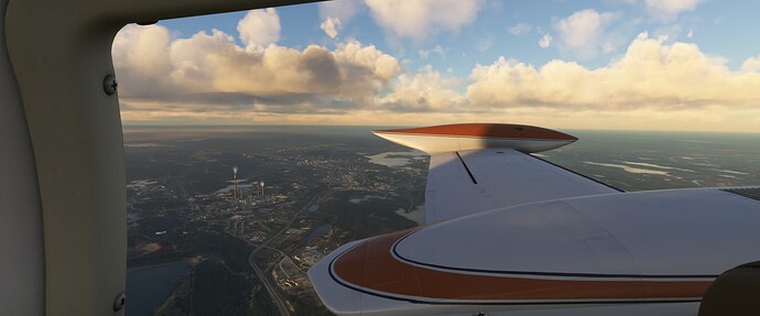
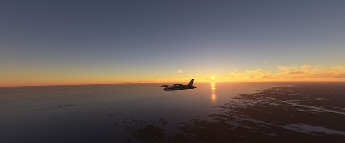
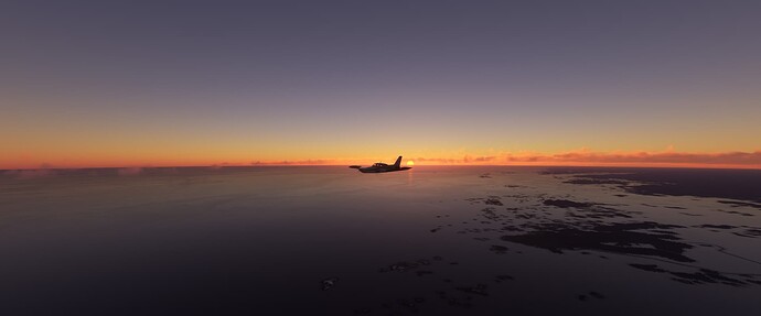
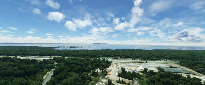
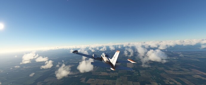
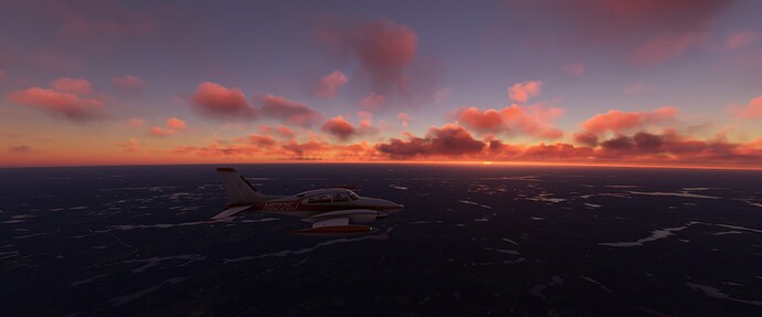
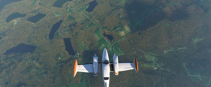
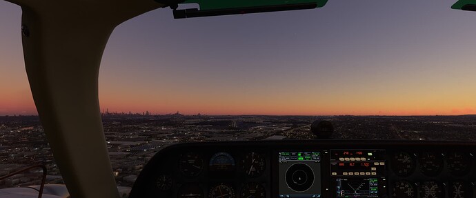
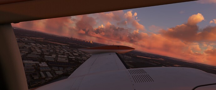
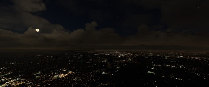
Another week of flying the corporate routes comes to an end, which means a weekend of exploring in the C310R!
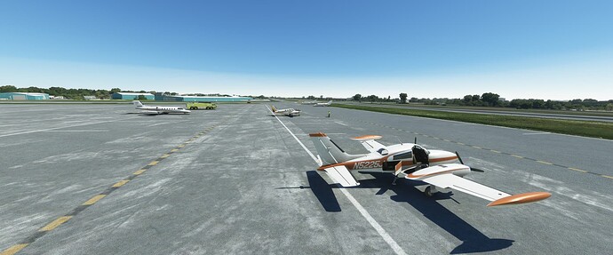
This weekend we headed out to Thunder Bay Ontario (CYQT). This part of the Province was a big part of my childhood so I try and get back every once in awhile (including a trip last year). This weekend, decided to check out those same sites in the sim and see how they are portrayed.
Unfortunately, not very well, but hopefully a Canadian World Update will fix that someday!
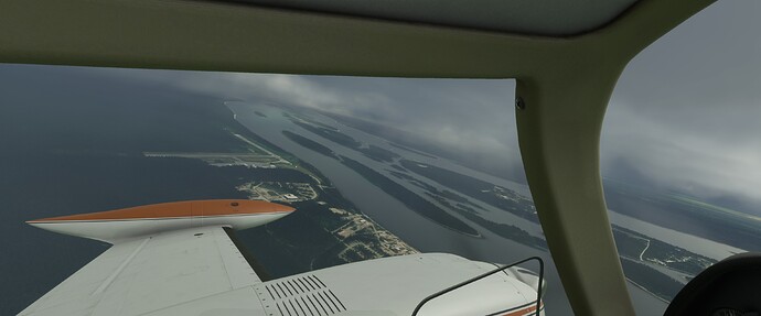
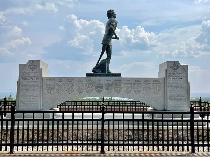
First stop after landing was heading East down the Trans Canada (Highway 11/17) to see if the Terry Fox Memorial was there. Sadly, it looks to be “under construction”.
I remember as a kid travelling back and forth for hockey tournaments, the memorial being right on the side of the highway. Today it has been moved back to provide ample parking, a visitor center and removing the need to spring across the highway if you were coming from the opposite direction.
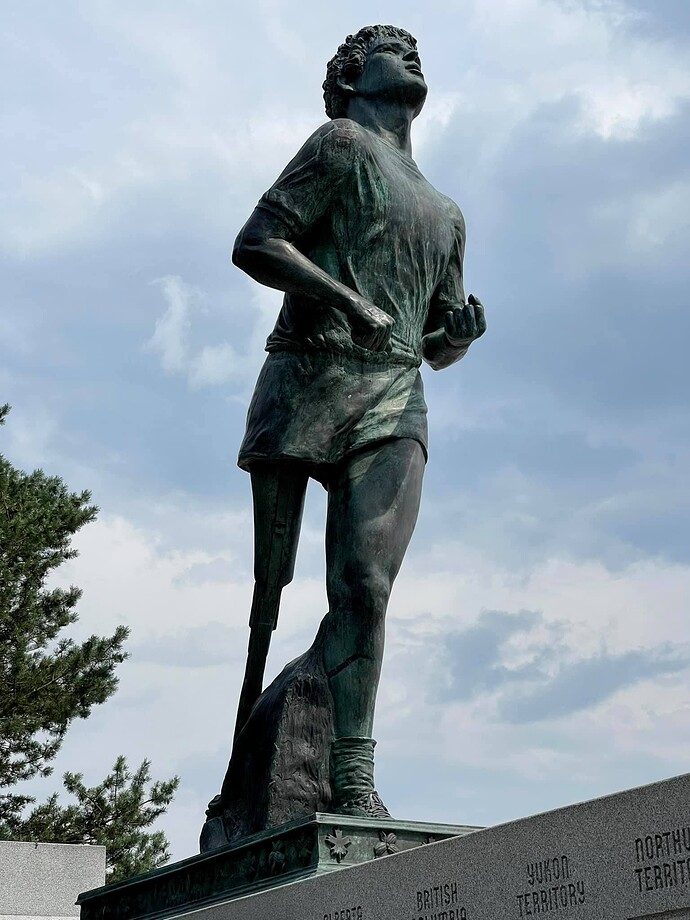
Here is what it looks like today from my trip last year,
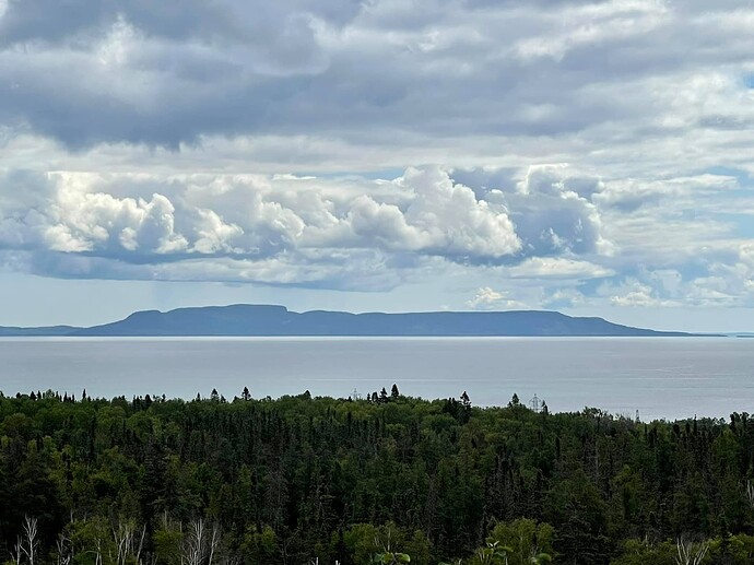
Off in the distance, you can see the Sleeping Giant.
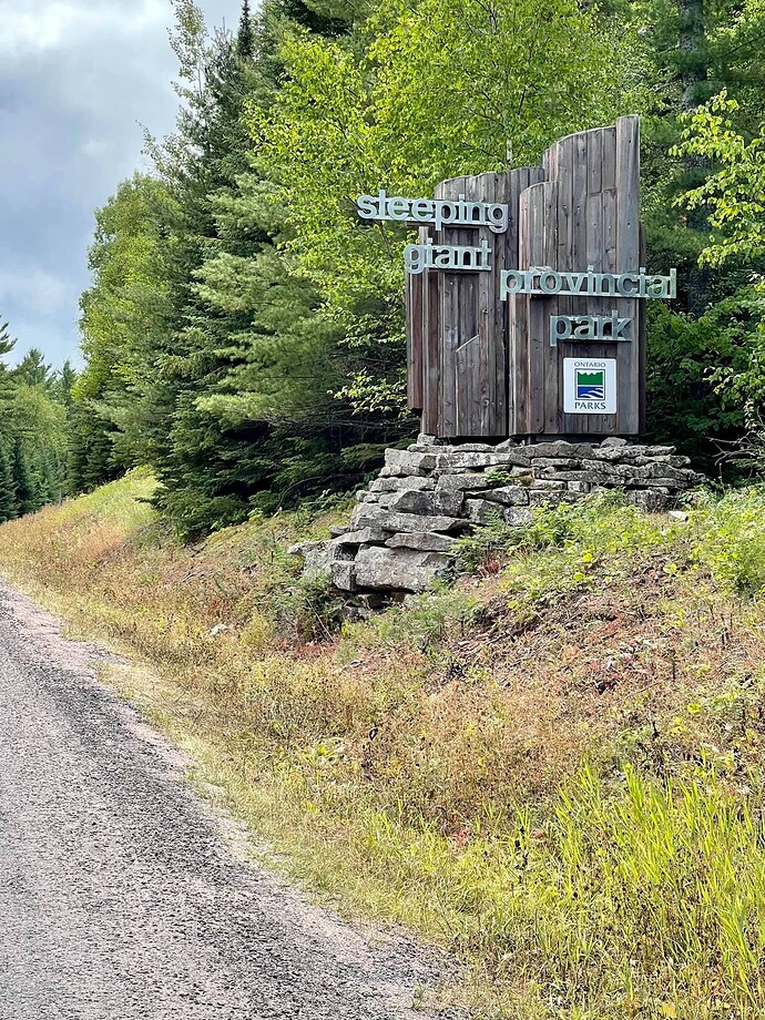
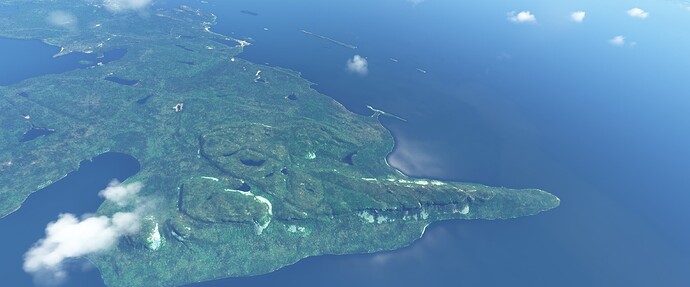
Sleeping Giant Provincial Park is a 244 square kilometer (94mi) park located on the Sibley Peninsula and projects into Lake Superior.
The Sleeping Giant itself, is a series of mesas formed by the erosion of thick, basaltic sills which resembles a giant lying on its back. One Ojibway legend claims the giant as Nanabijou who turned to stone when the secret location of a rich silver mine now known as Silver Islet was disclosed to the white men.
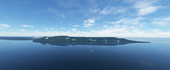
The Sleeping Giant from the Terry Fox Memorial site in the sim,
And how it looks today,
And a little closer look in the sim,
I’d say it’s pretty well represented!
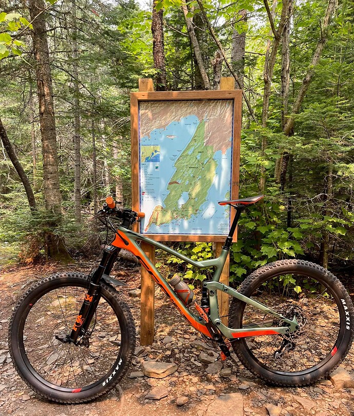
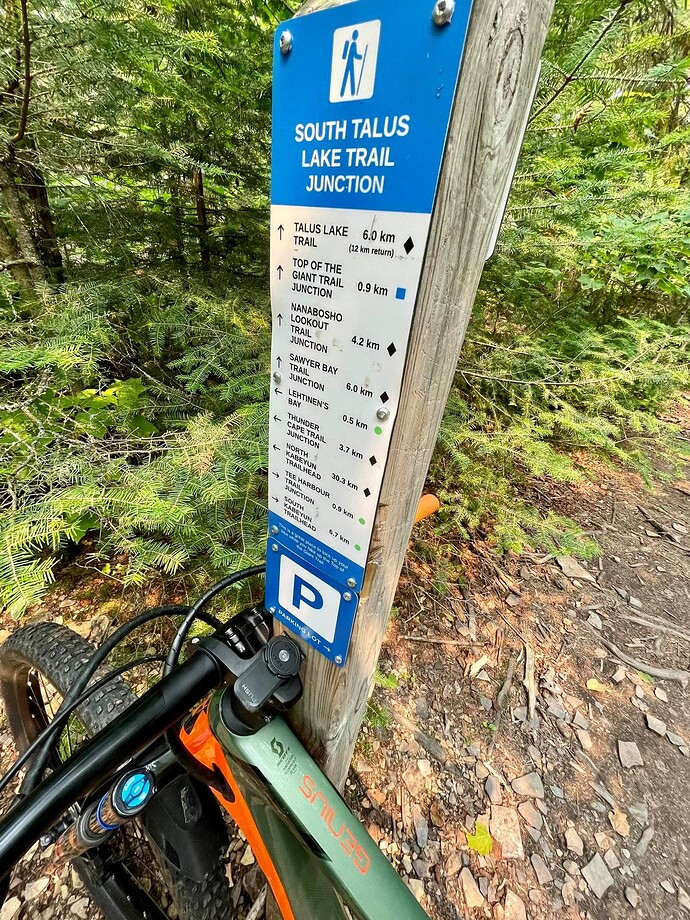
It was neat to get an aerial shot as last year I mountain biked from the Provincial Park to the base of the Giant, and then hiked to the top of the chest.
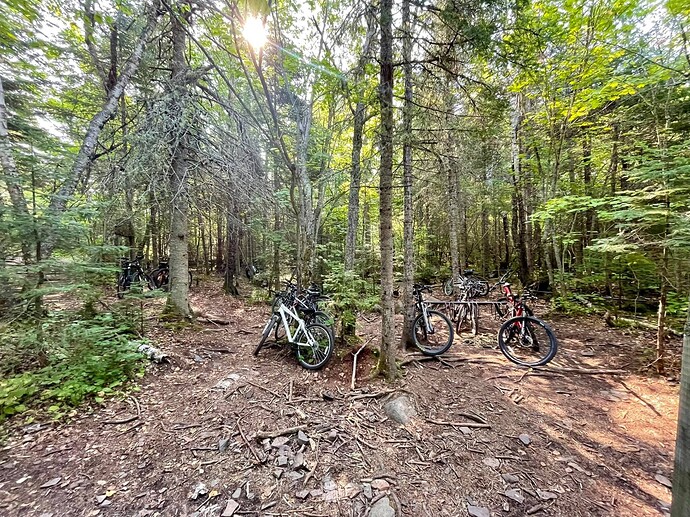
It was pretty neat, at the trailhead they had a place to lock up your bikes.
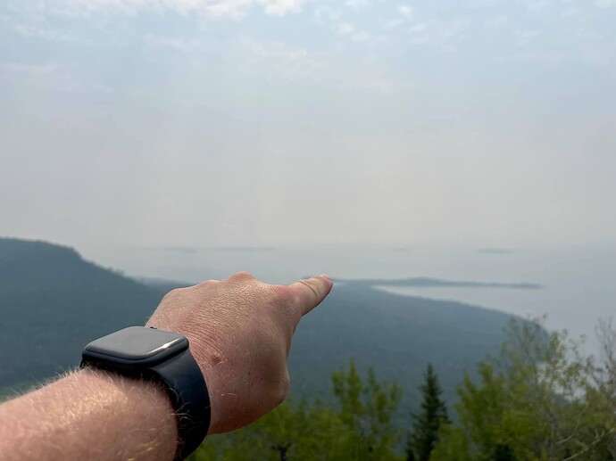
The view from partway up!
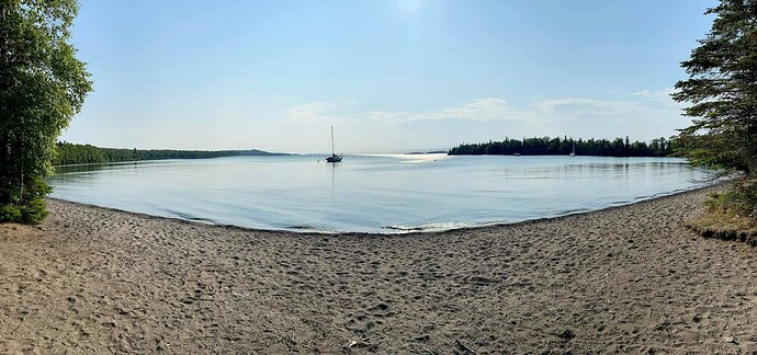
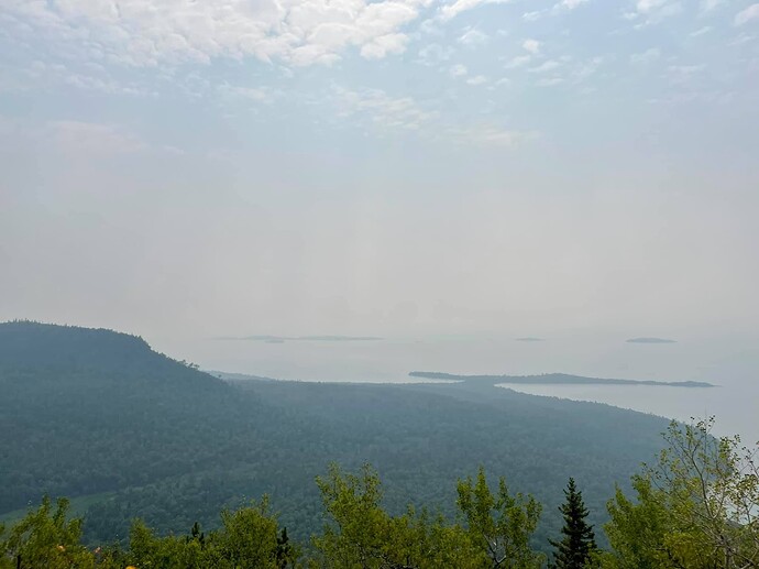
That little spec of land to the left of my finger is where the photo of the bay with the parked sailboats was taken, and that was only part of the ride in.
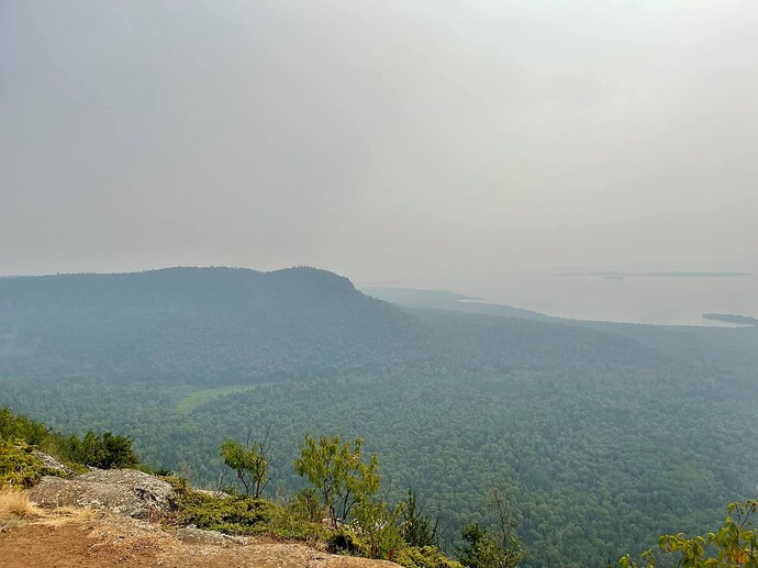
View from the top!
And here is what it looks like from the top in the sim.
Total time in and out was about 7 hours.
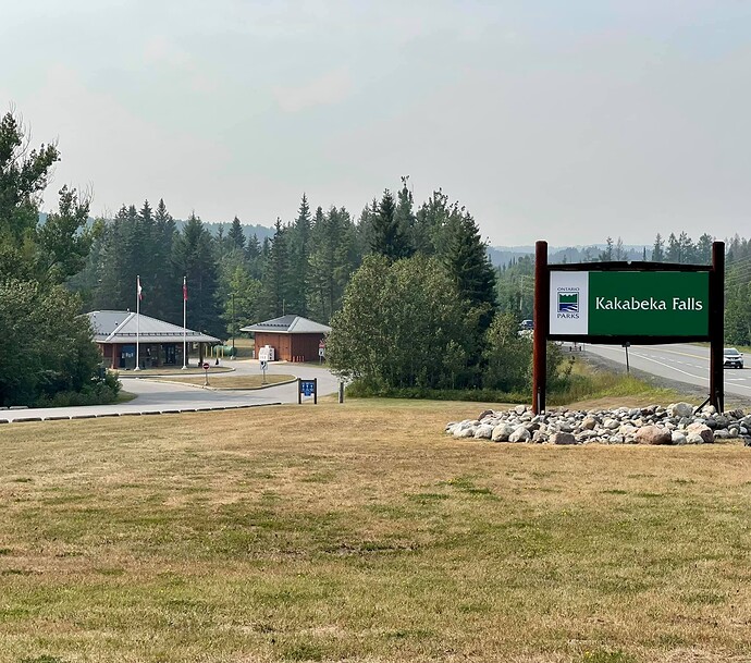
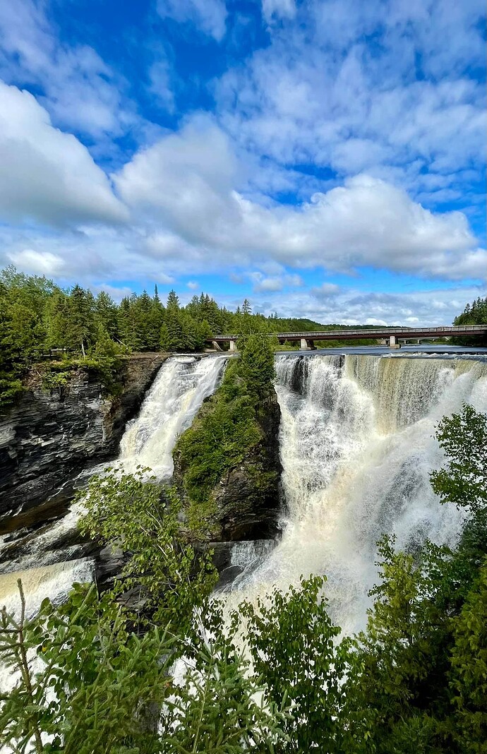
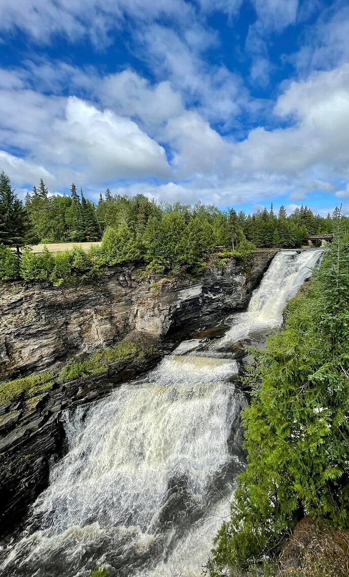
The next stop was Kakabeka Falls. As a kid, I spent allot of summers camping at this park as well.
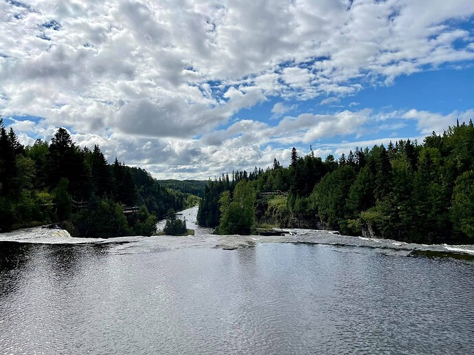
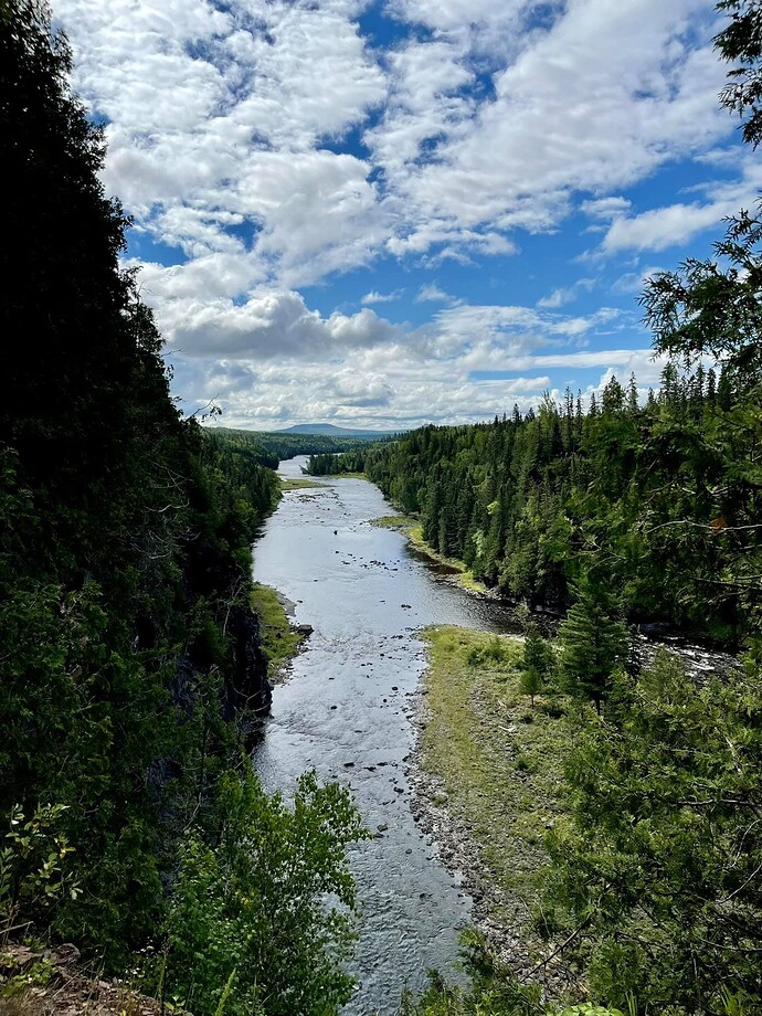
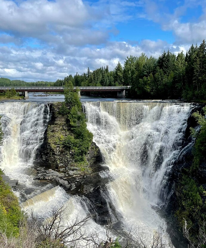
The falls are part of the Kaminiqtiquia River with a drop of 40m, cascading into a gorge carved out of the Precambrian Shield by meltwater following the last glacial maximum. Due to its size and ease of access it has become known as “The Niagara of the North”.
The name Kakabeka comes from the Ojibe word gakaabikaa “waterfall over a cliff”.
The Legend of Green Mantle:
The legend is about an Ojibe chief who upon hearing news of an imminent attack from the Sioux tribe instructs his daughter, Princess Green Mantle, to devise a plan to protect her people. She enters the Sioux camp along the Kaministiquia river, and pretending to be lost, she bargains with them to spare her life if she will bring them to her fathers camp.
Placed at the head of the canoe, she instead leads herself and the Sioux warriors over the falls to their deaths. Sparing her tribe from the attack.
The legend claims that one can see Green Mantle when looking into the mist of the falls.
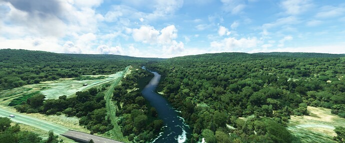
Unfortunately, the falls are not captured in the sim at this point.
But this is what they look like today,
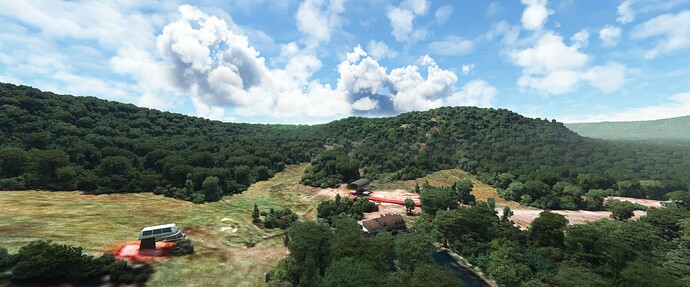
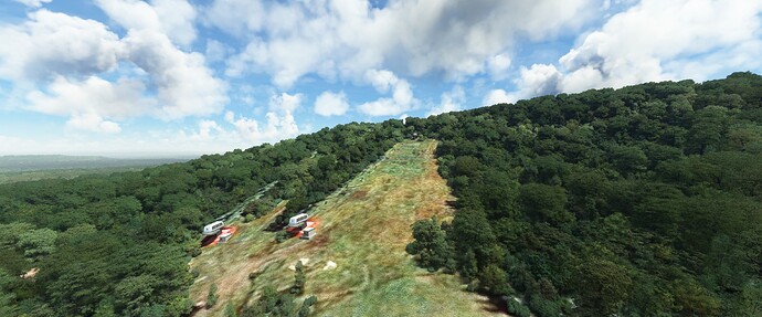
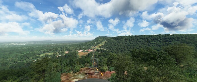
The last stop on the tour was to “Big Thunder”. I remember as a kid going here to ski and being in awe of the Bug Thunder Ski Jumping centre. It was a regular site for the FIS Nordic Ski Jumping World Cup as well as hosting the World Champions, twice.
Unfortunately, it closed in 1996 but is still modeled in the sim!
Unfortunately, I don’t have any childhood photos from the hill, they were destroyed in a flood.
Back in the C310R tomorrow to head for home base (CYKZ) before starting another week of charters!
