Thanks for the links @CasualClick, I clearly need to hang out in this sub forum more often. Your journeys are great to witness vicariously!
Leg Two
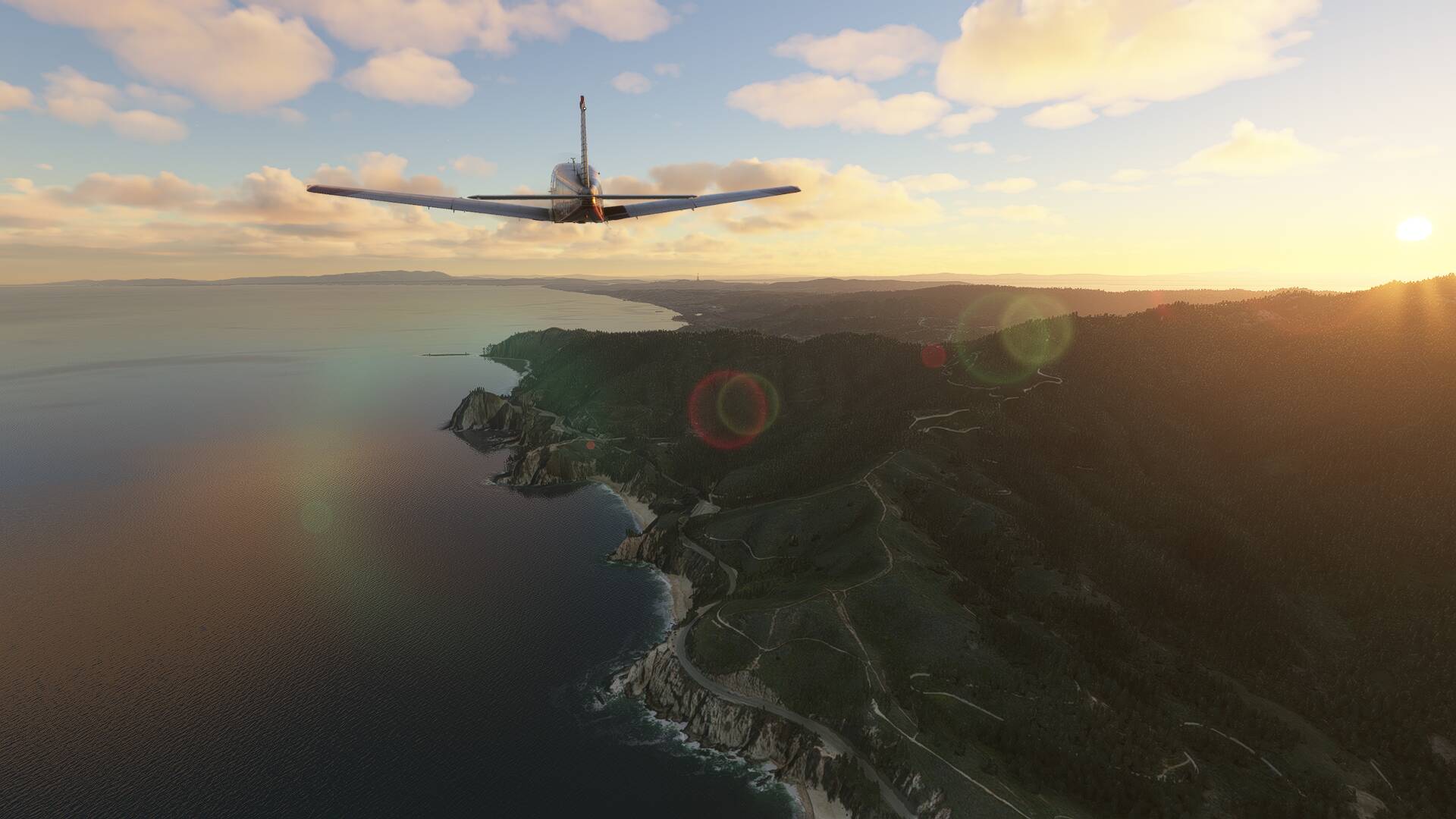
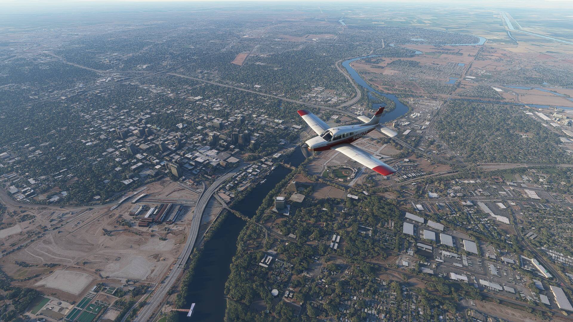
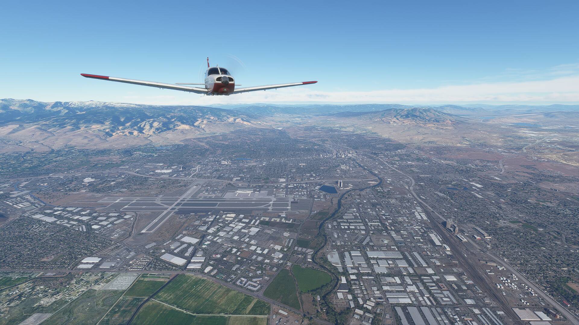
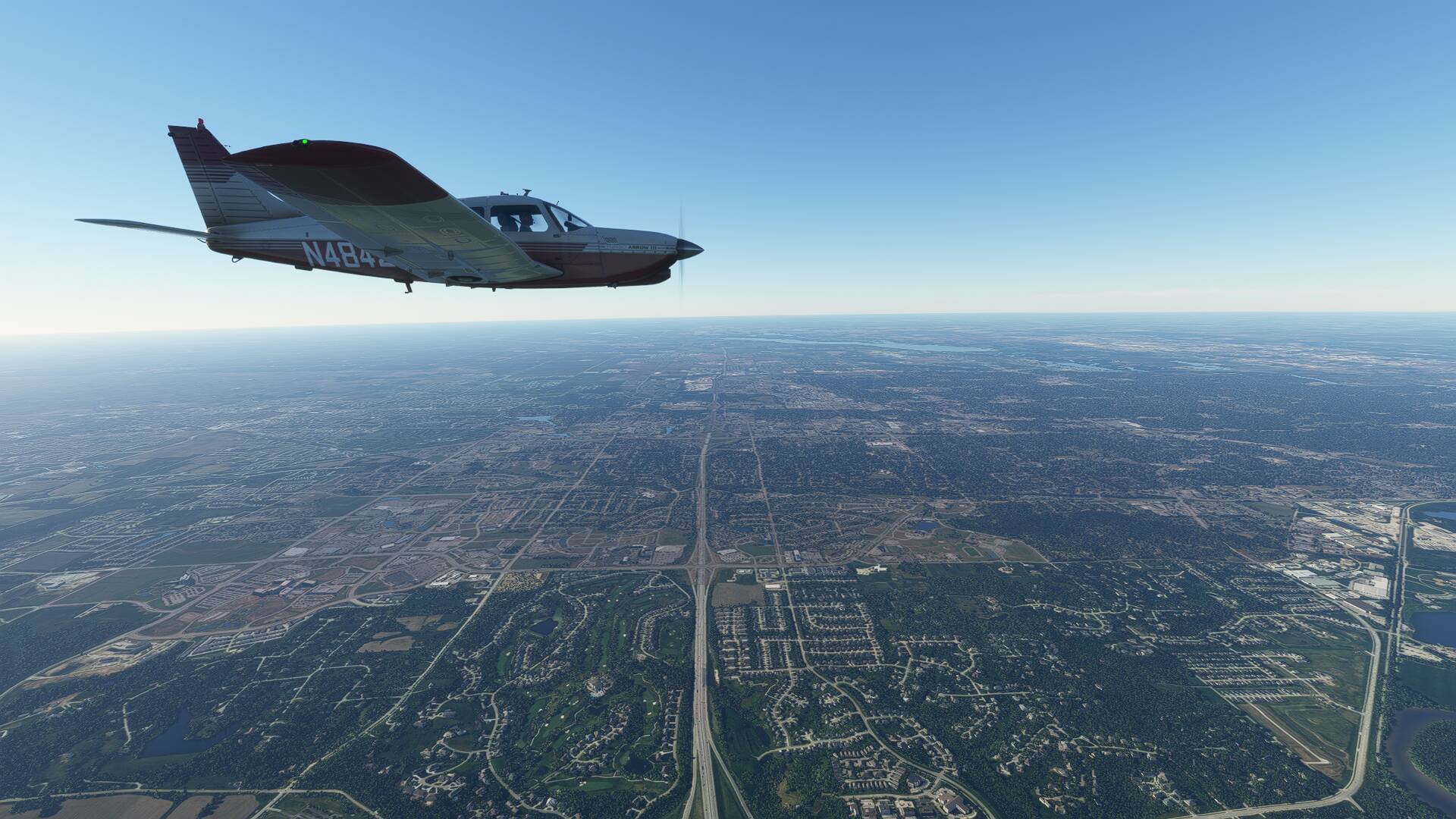
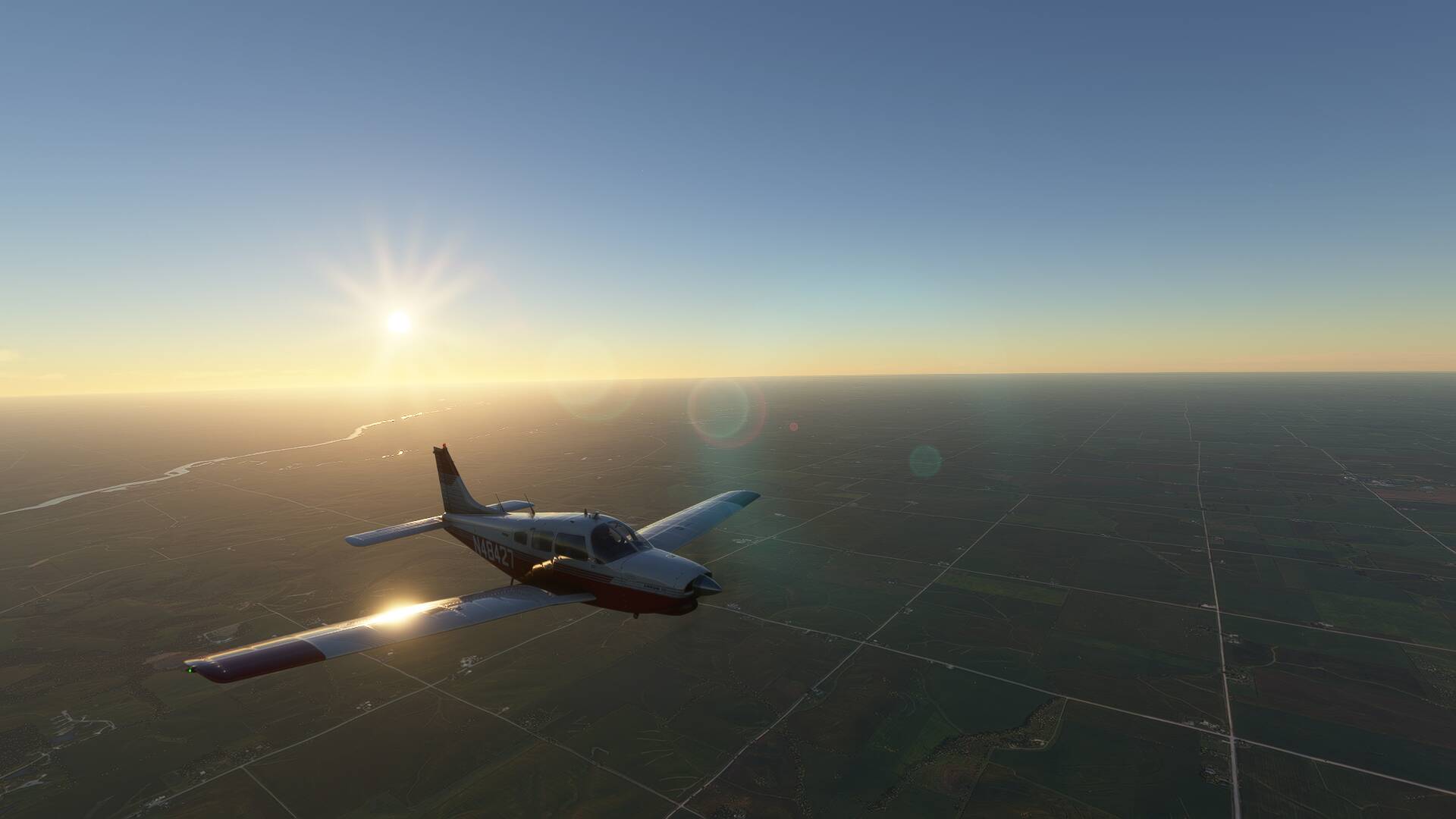
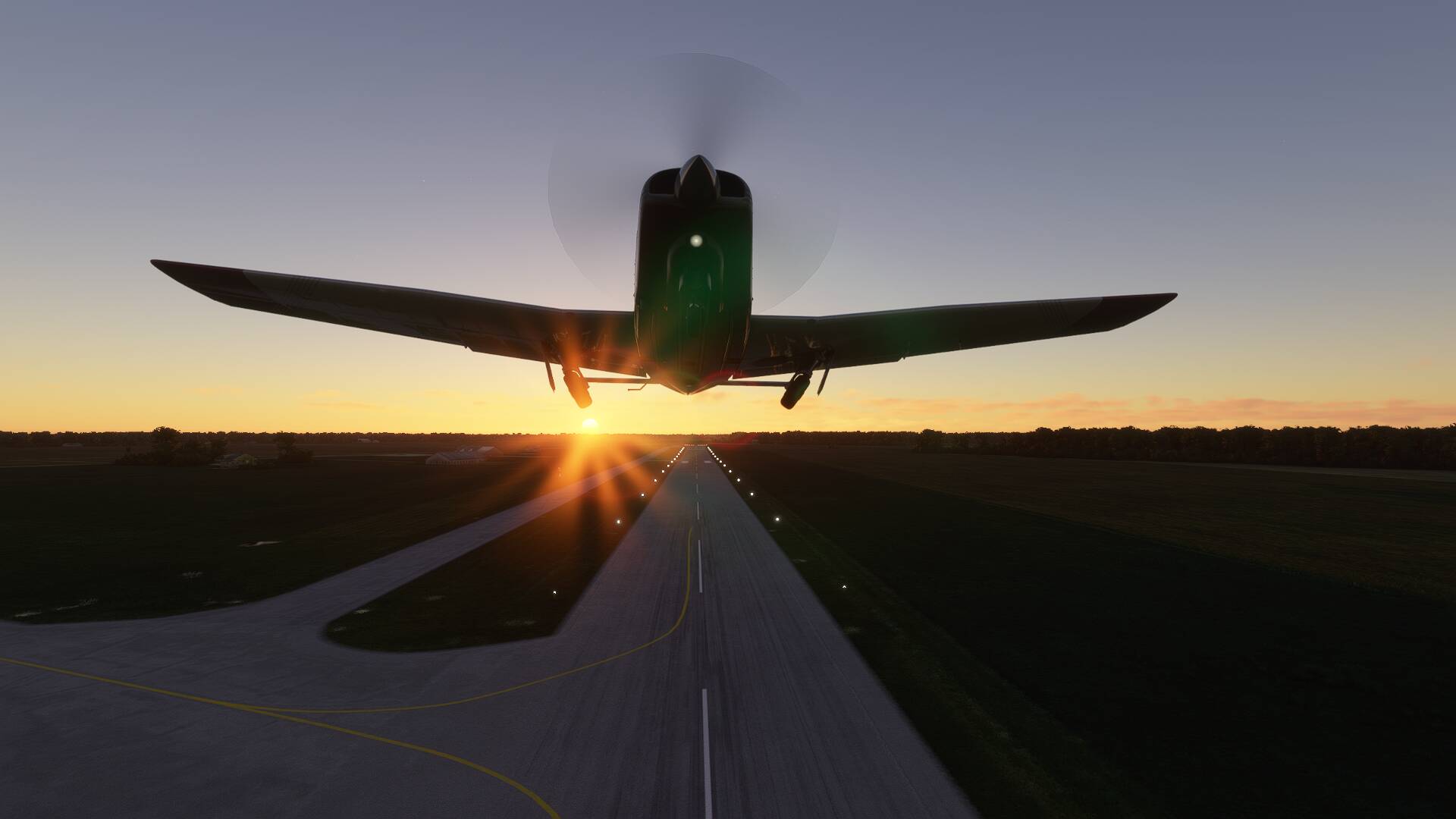
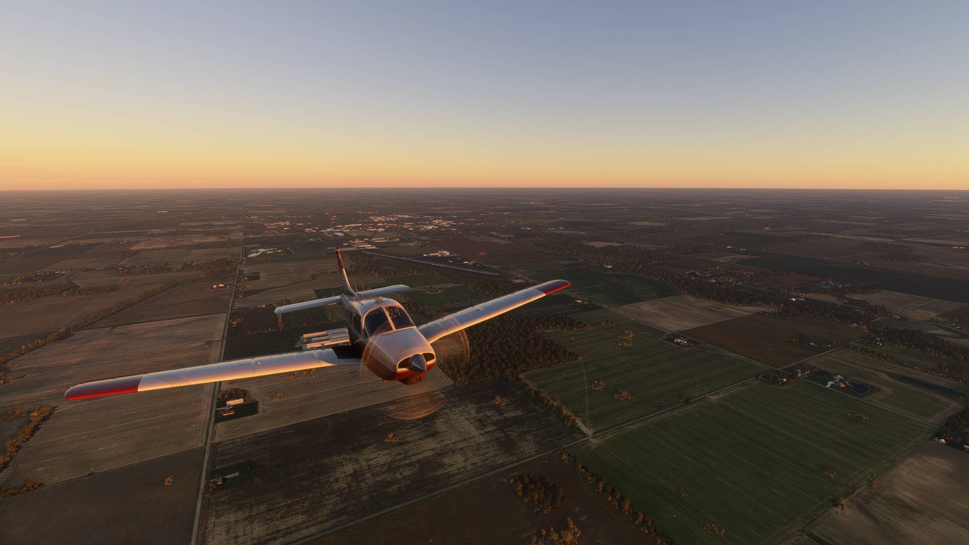
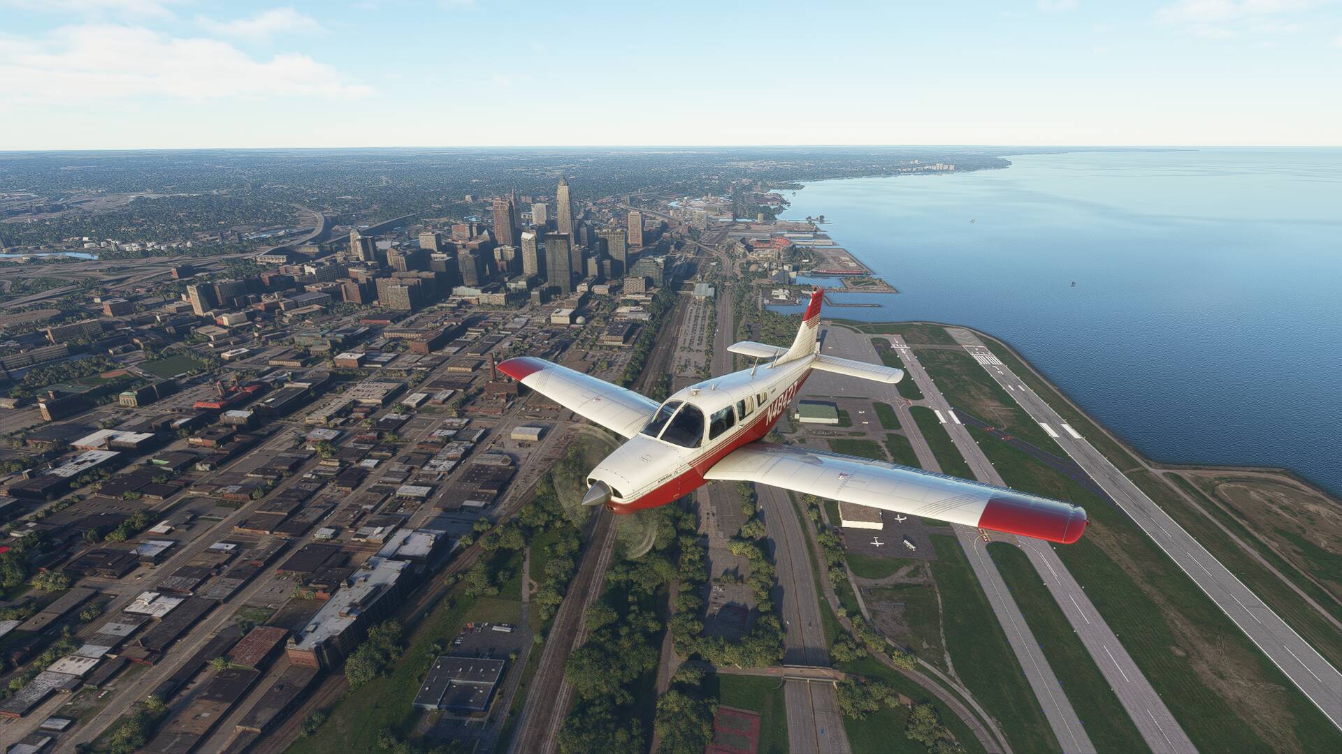
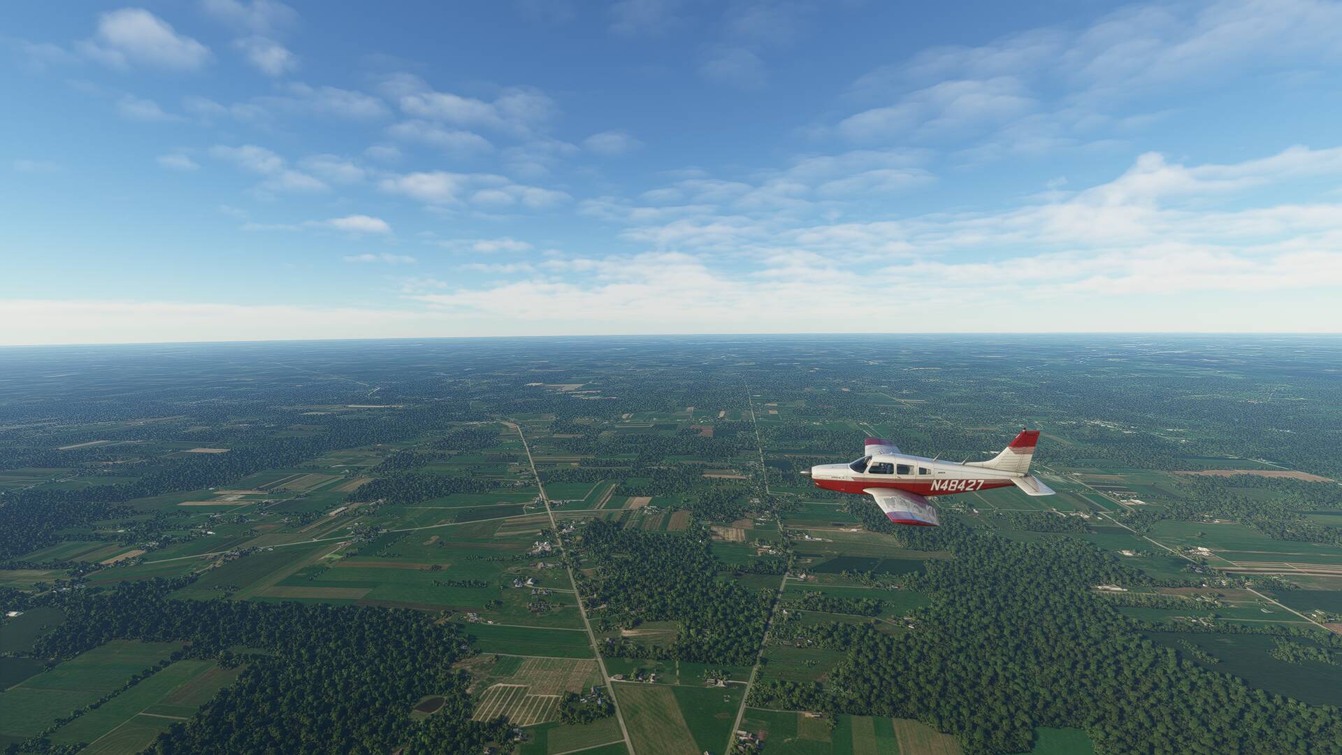
After a fuel tank top up, quick sandwich and caffeine hit at the airfield café, I was ready to jump back into the Arrow for Leg 2 of the transcontinental adventure. A light northerly breeze was favoring runway 34 as the active, so being careful to lean the engine for the high density altitude, I started up and backtracked the parallel taxiway to line up full length takeoff. Fortunately the turbocharged IO360 was capable of providing 42" of MAP, even up at 4200 ft AMSL, and soon enough I was pulling back on the yoke, airborne once again.
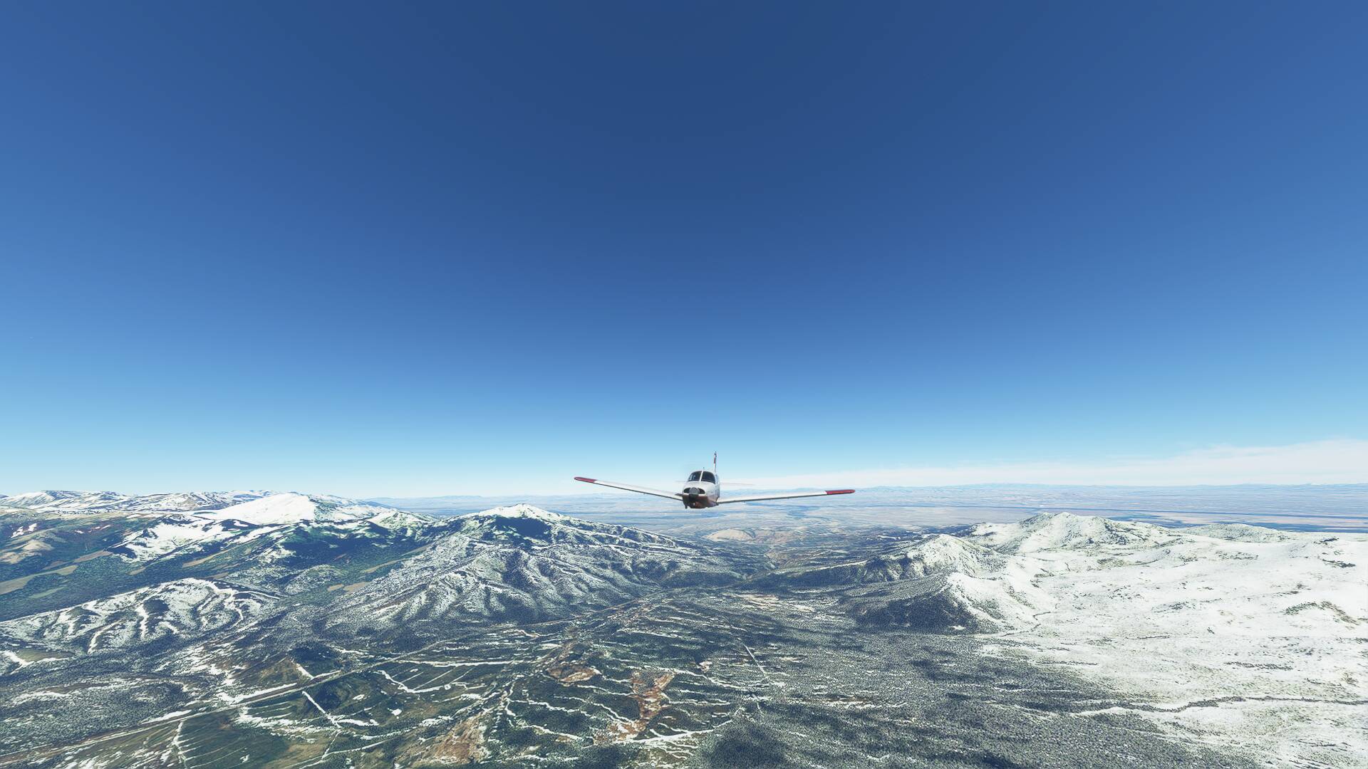
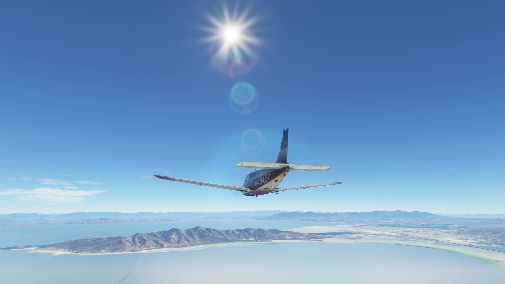
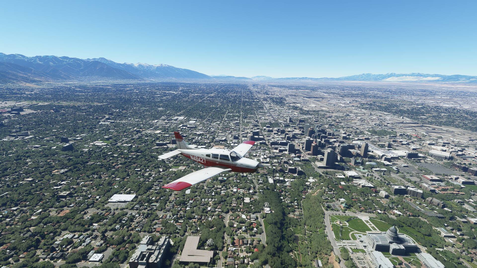
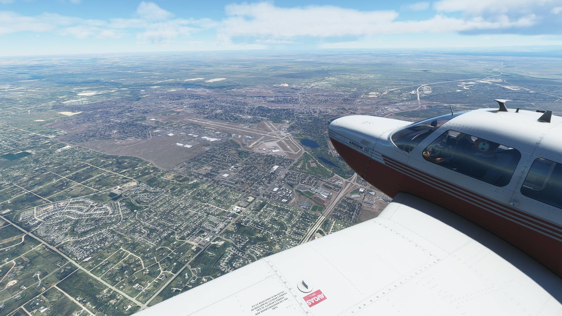
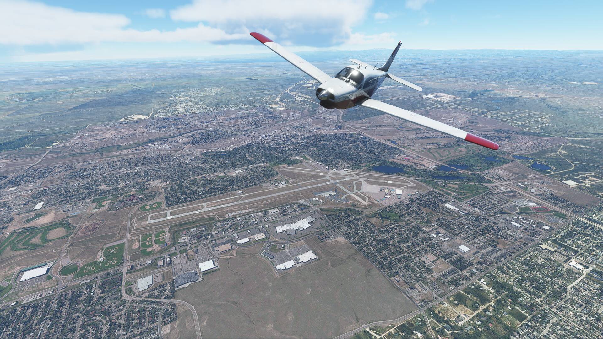
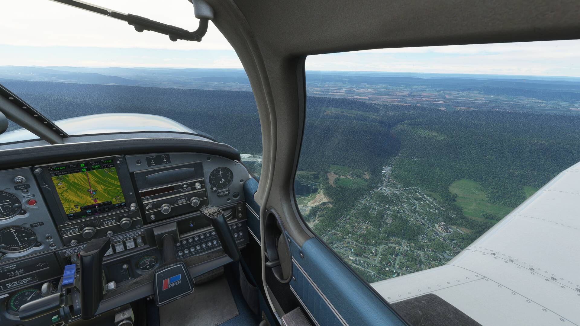
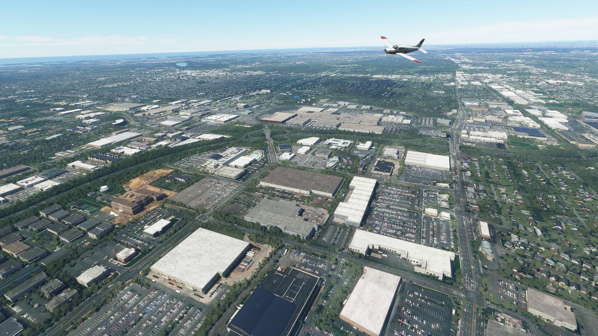
For the visual departure, I maintained the centreline whilst retracting gear and takeoff flap, then rolled left 180 degrees to continue climbing southbound towards the middle of Salt Lake City. High terrain immediately east of the airport prevents an on track departure, so the quick detour south provided great views, and the higher I climbed, continued to reveal the sheer scale of the metropolitan area.
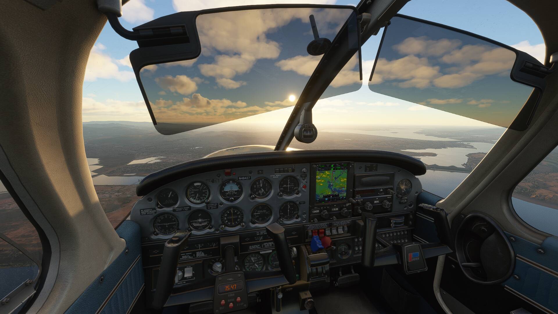
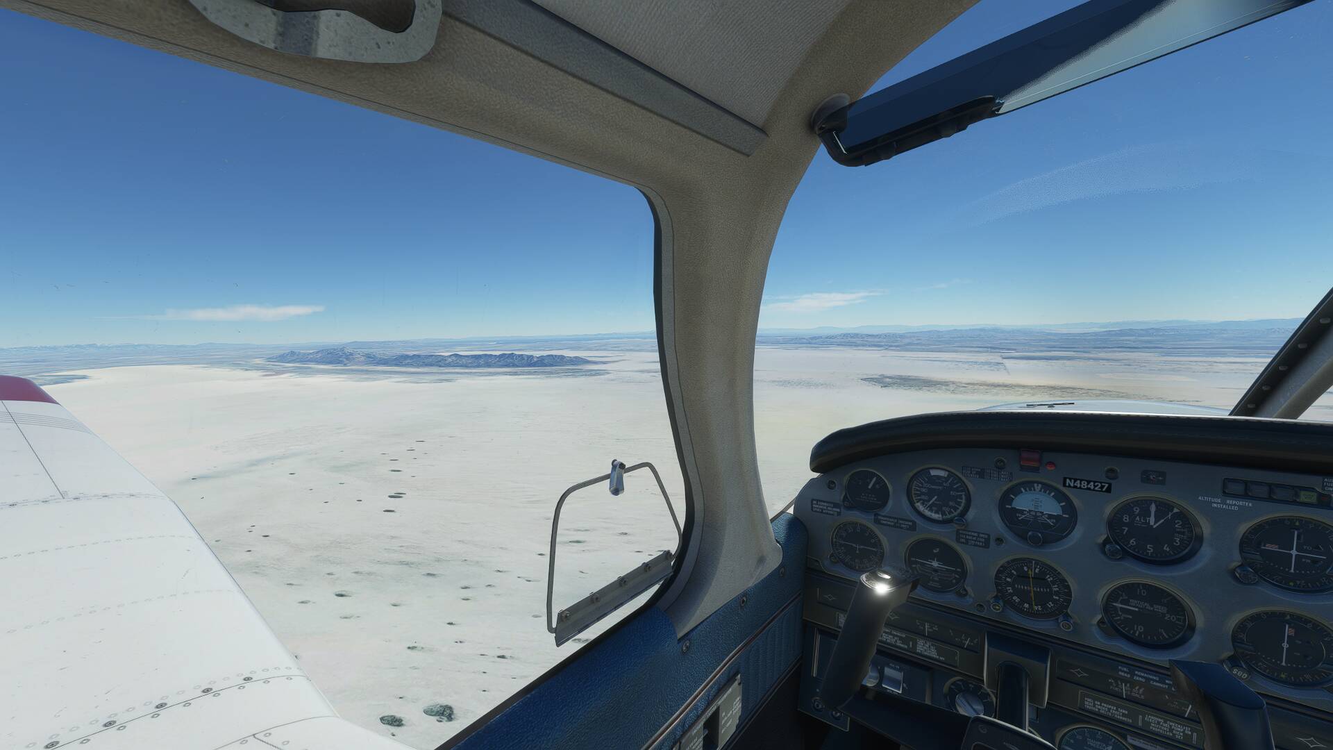
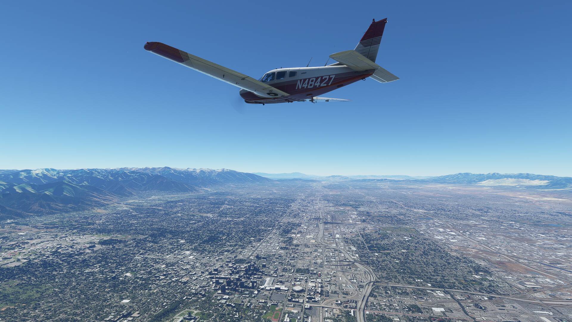
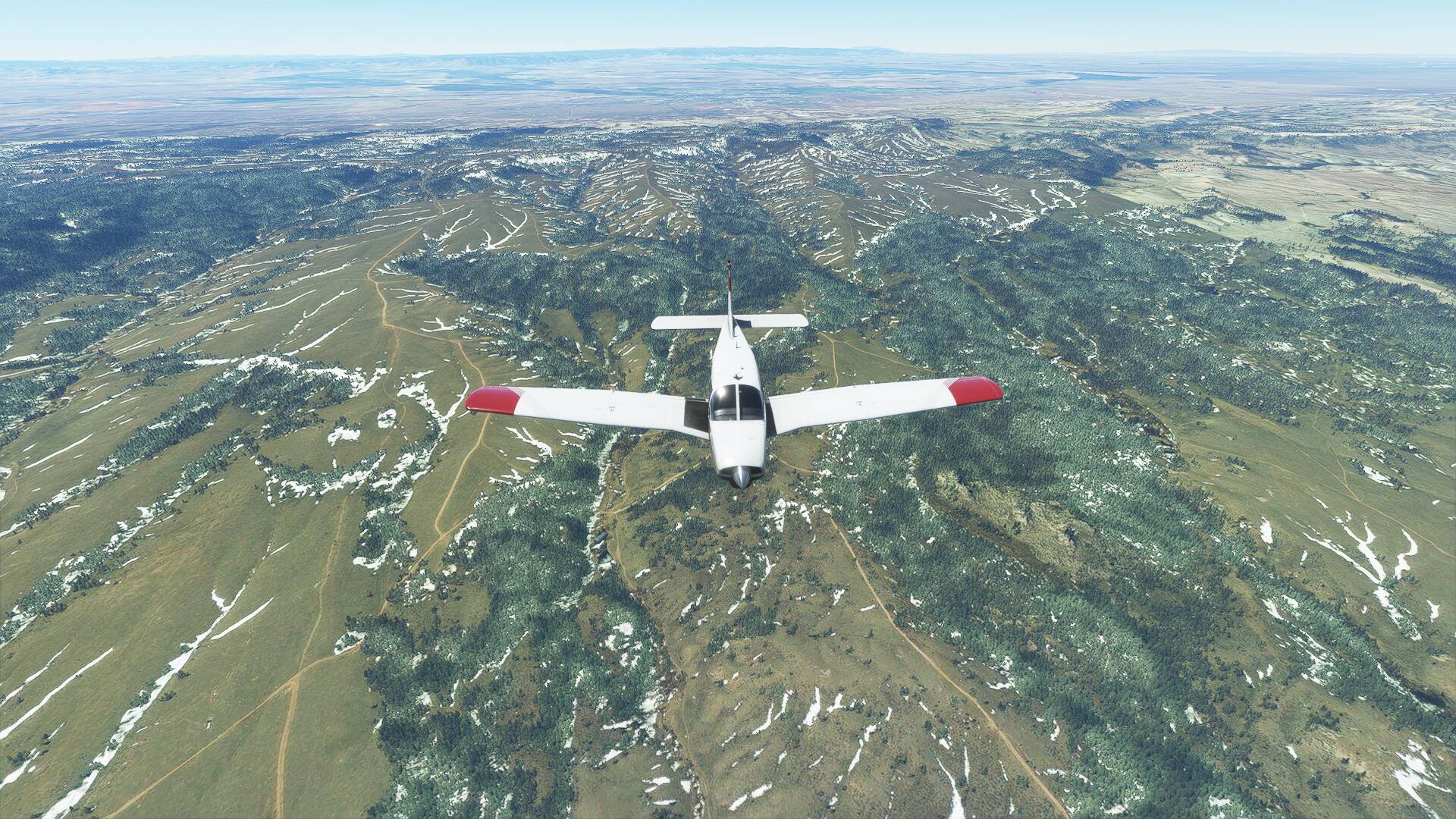
Passing 7000 feet AMSL, I turned up Parleys Canyon initially following the I80 interstate once again as it left the city. Once clear of the hills and able to sight the horizon again, I made a left cut towards the Echo Reservoir, then reintercepted my flight plan track of 058 track towards the OCS VOR/DME on 116.0.
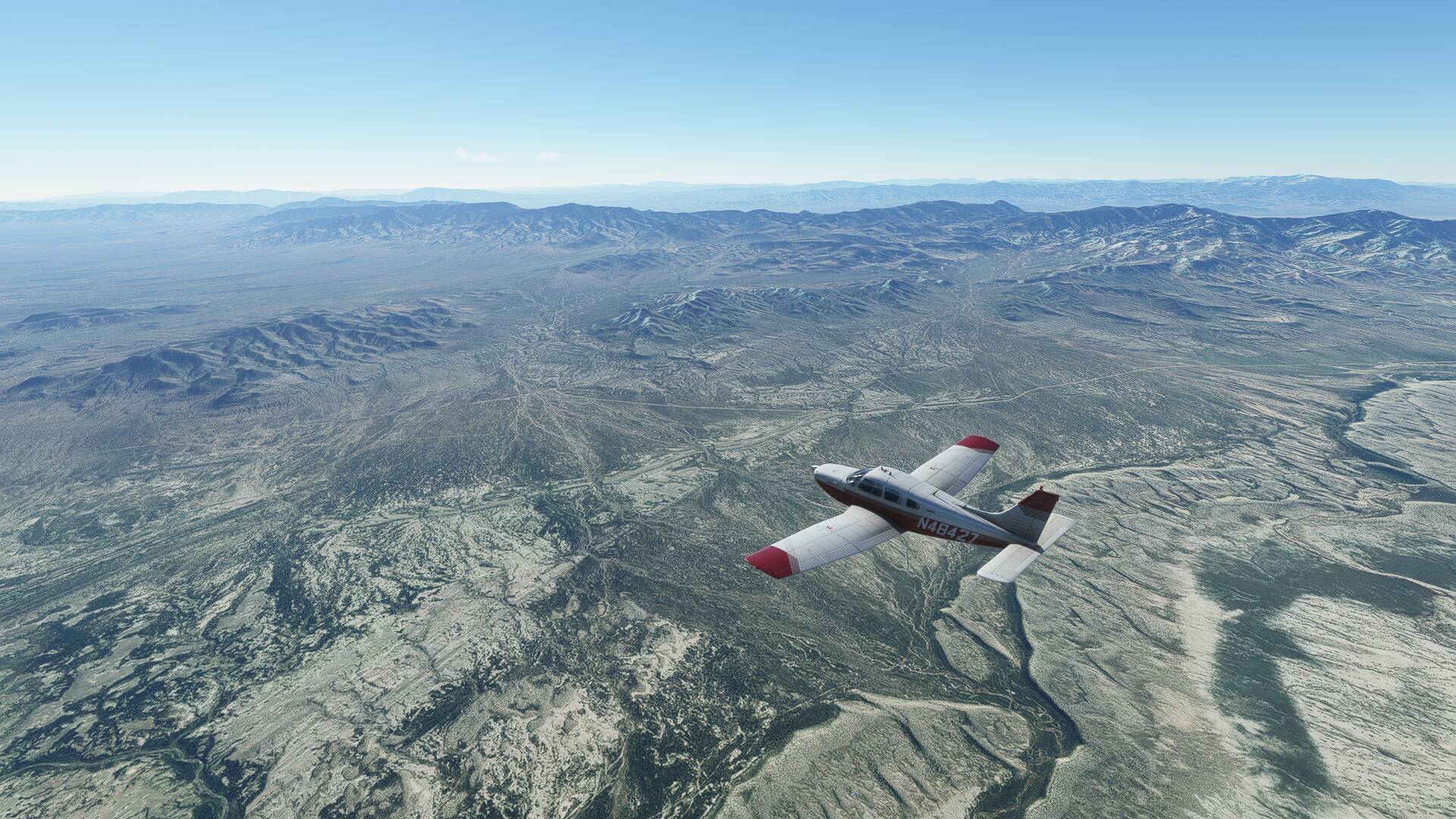
The flat plateau below me was around 7000 feet AMSL, so leveling at 10,000 feet on the altimeter, I was only around 3000 feet AGL for the next 130 miles.
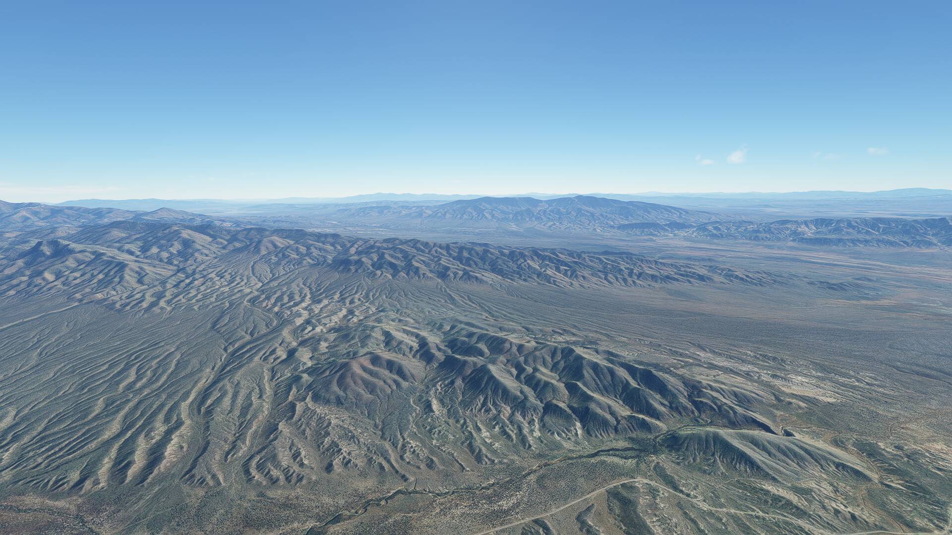
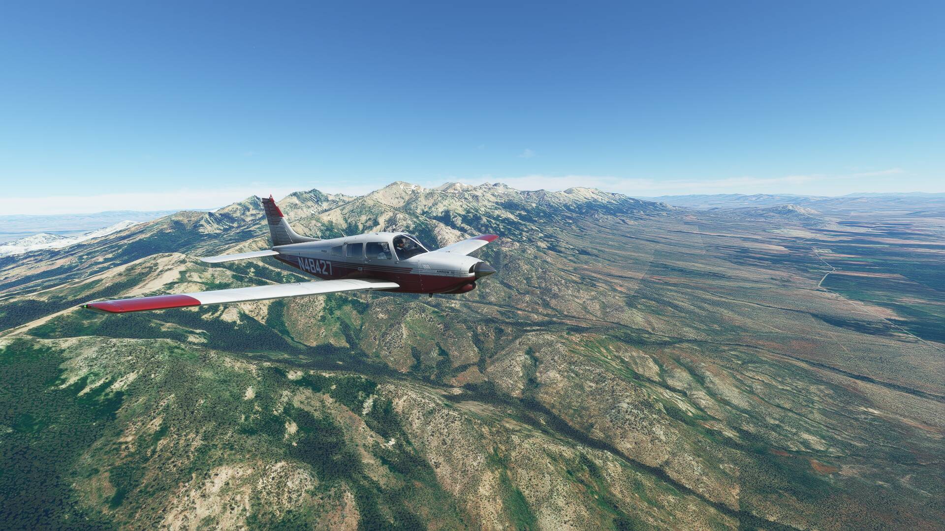
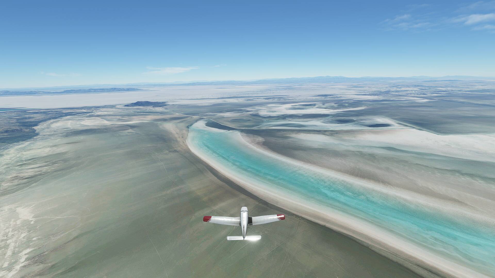
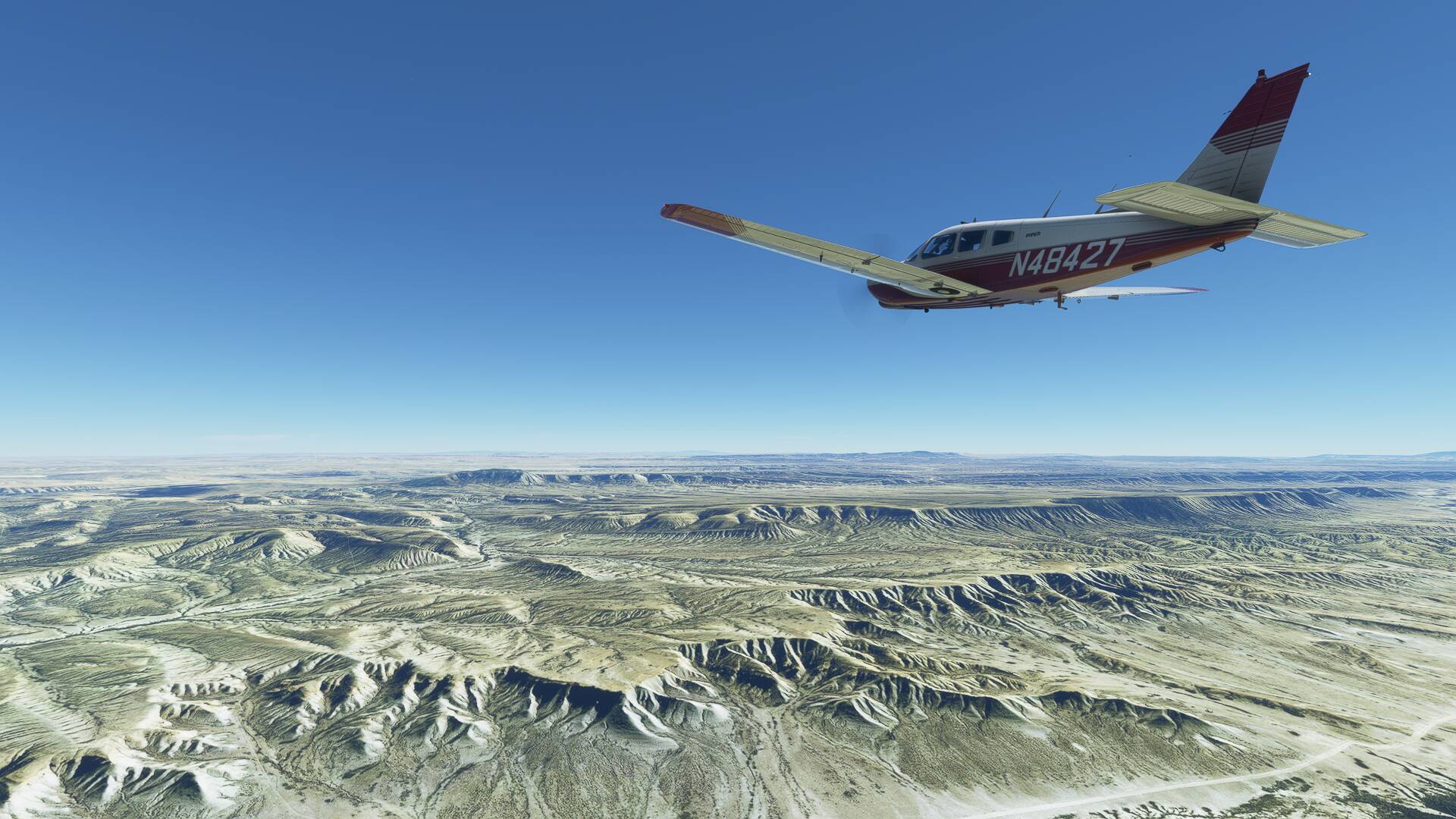
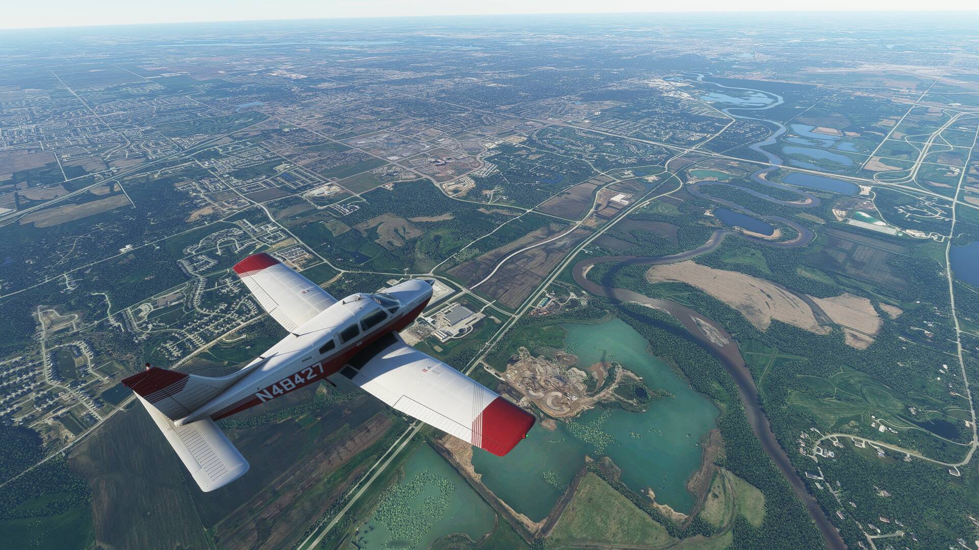
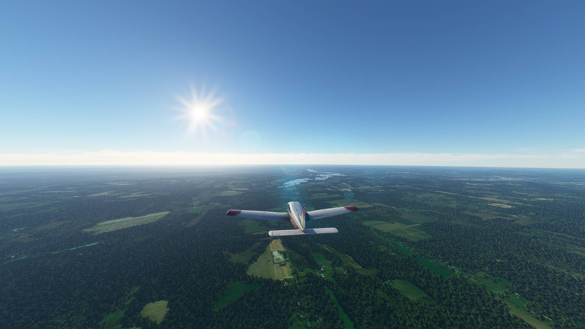
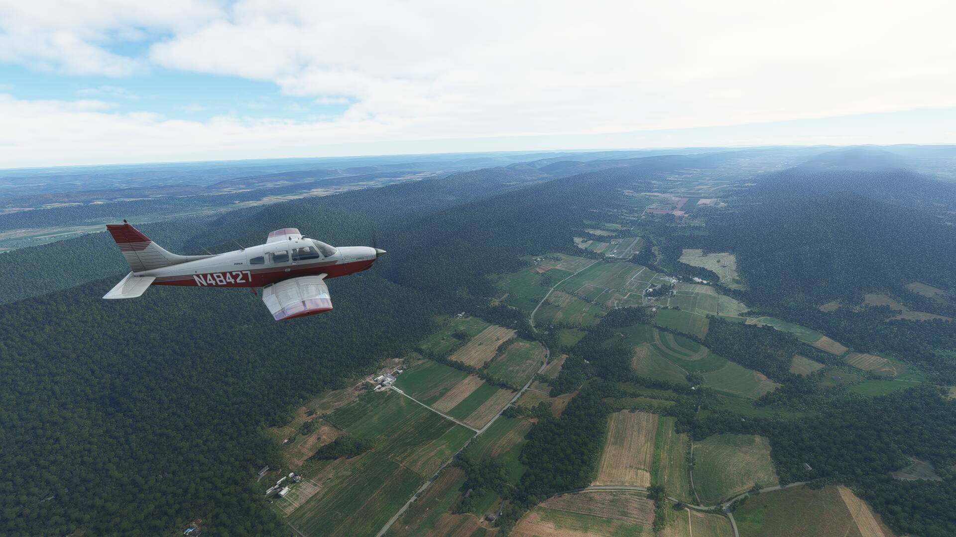
As I flew along, I criss crossed several enclaves of lush green irrigated farmland scattered throughout the desert valleys, before reaching the small township of Lynman. Shortly thereafter, any trace of greenery disappeared for good as the desert sands took hold again creating a rather stark boundary between the two landscapes.
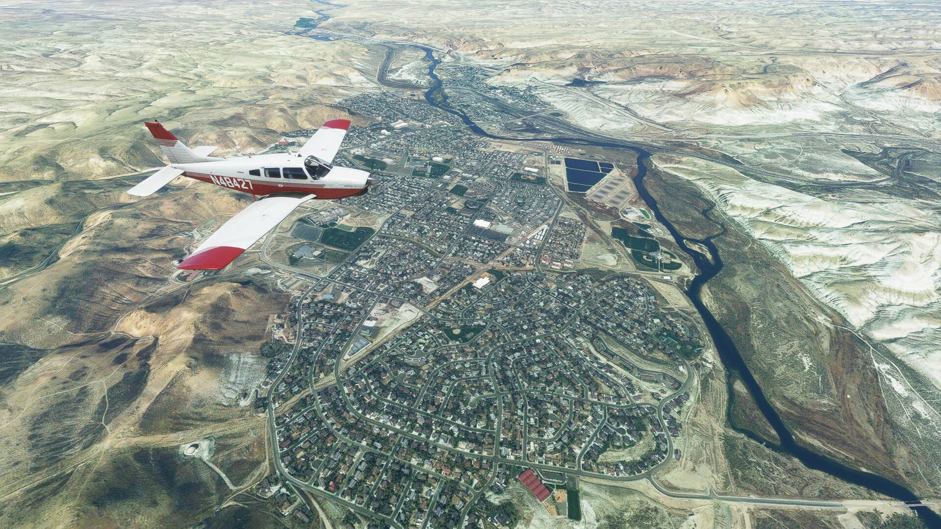
Clear skies and great visibility showed nothing but desert sands for the next hour, until the twin townships of Green River and Rock Springs came into view, nestled among dramatic canyon walls carved out by the Green River.
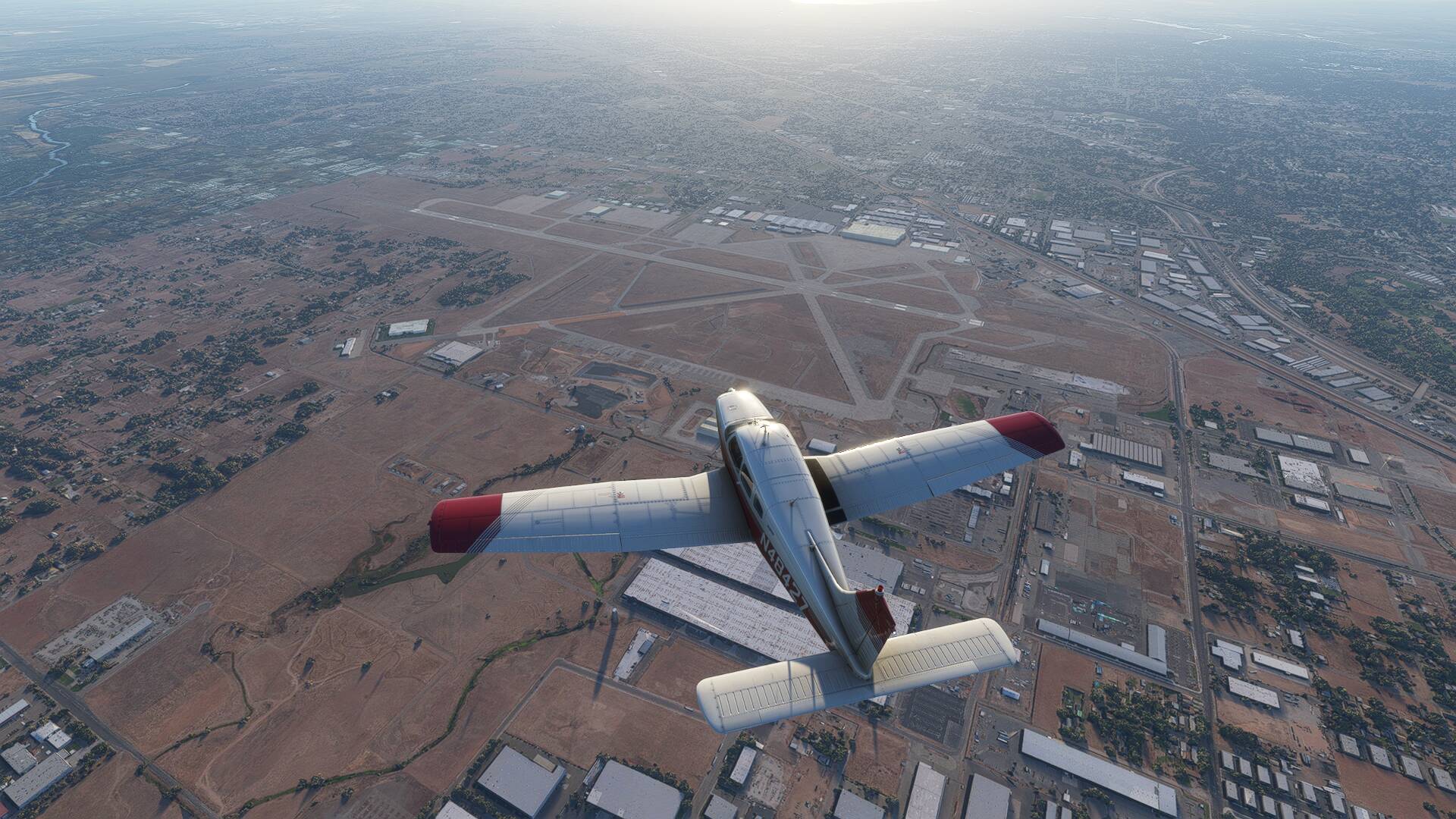
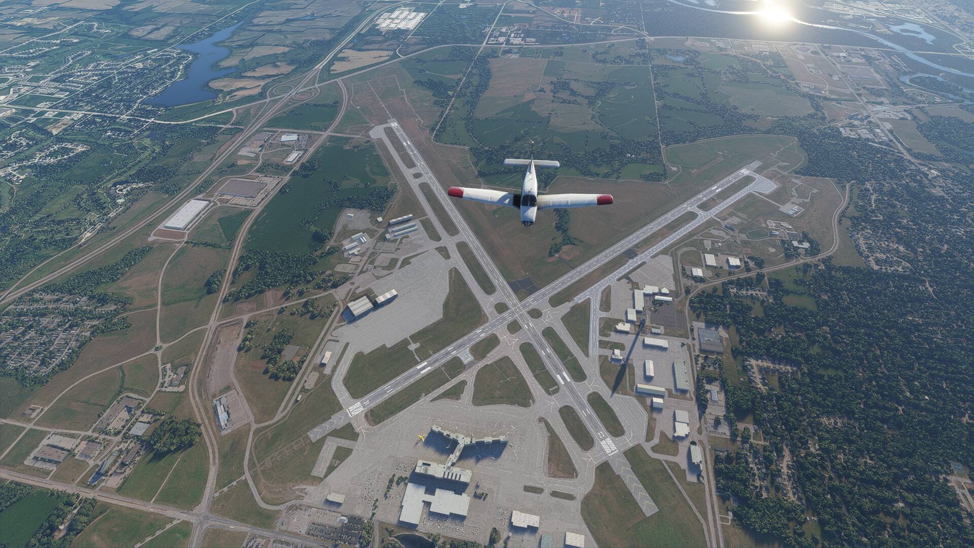
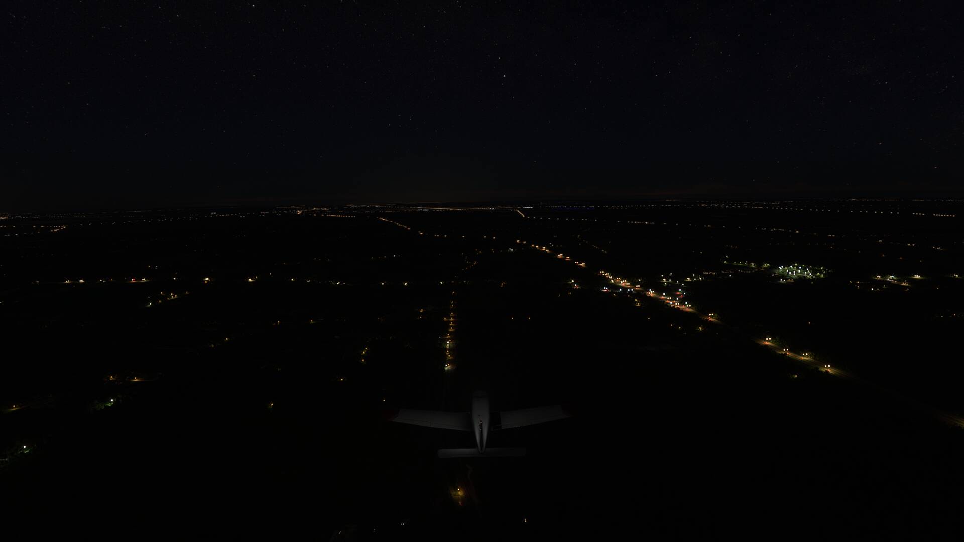
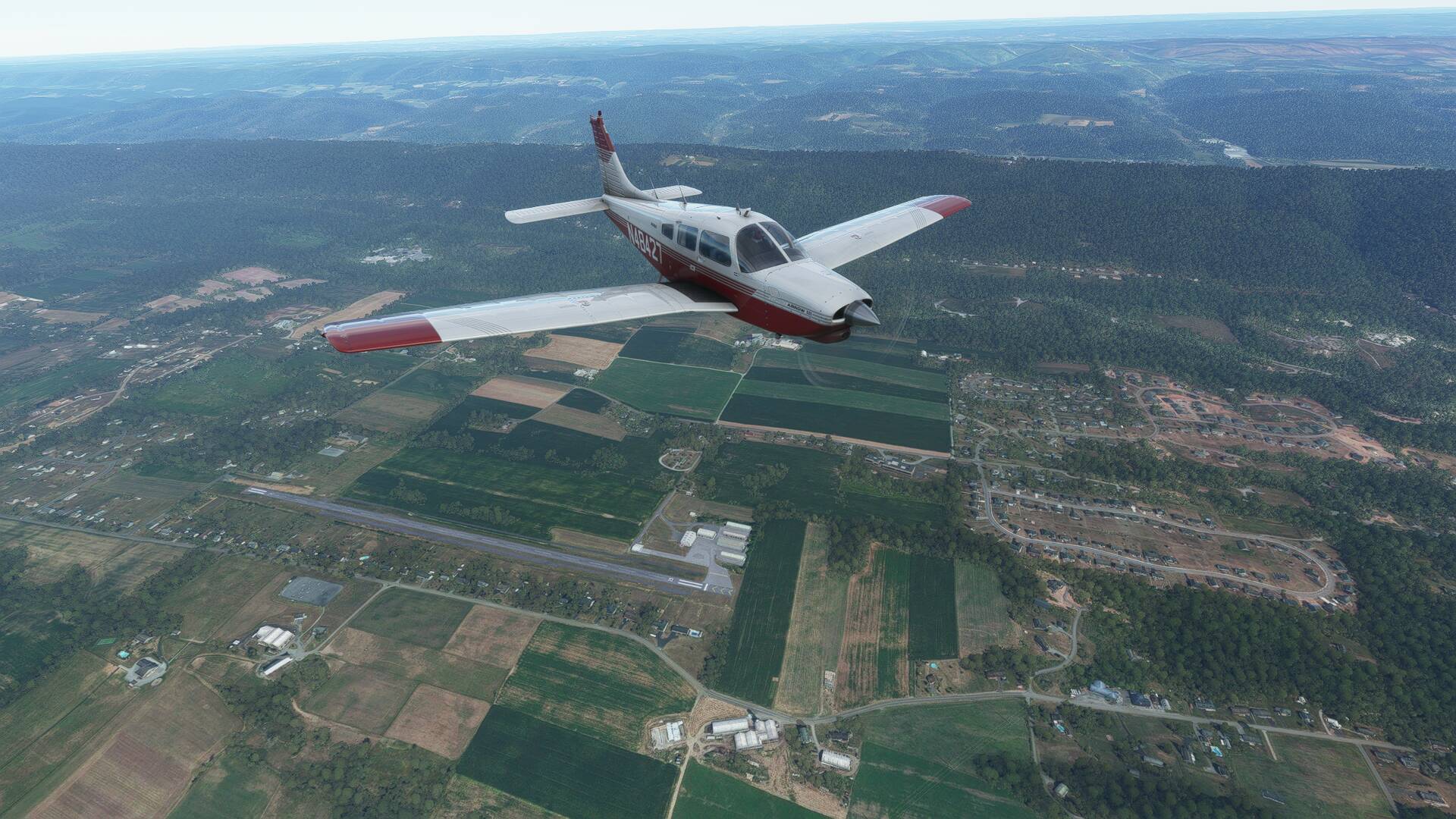
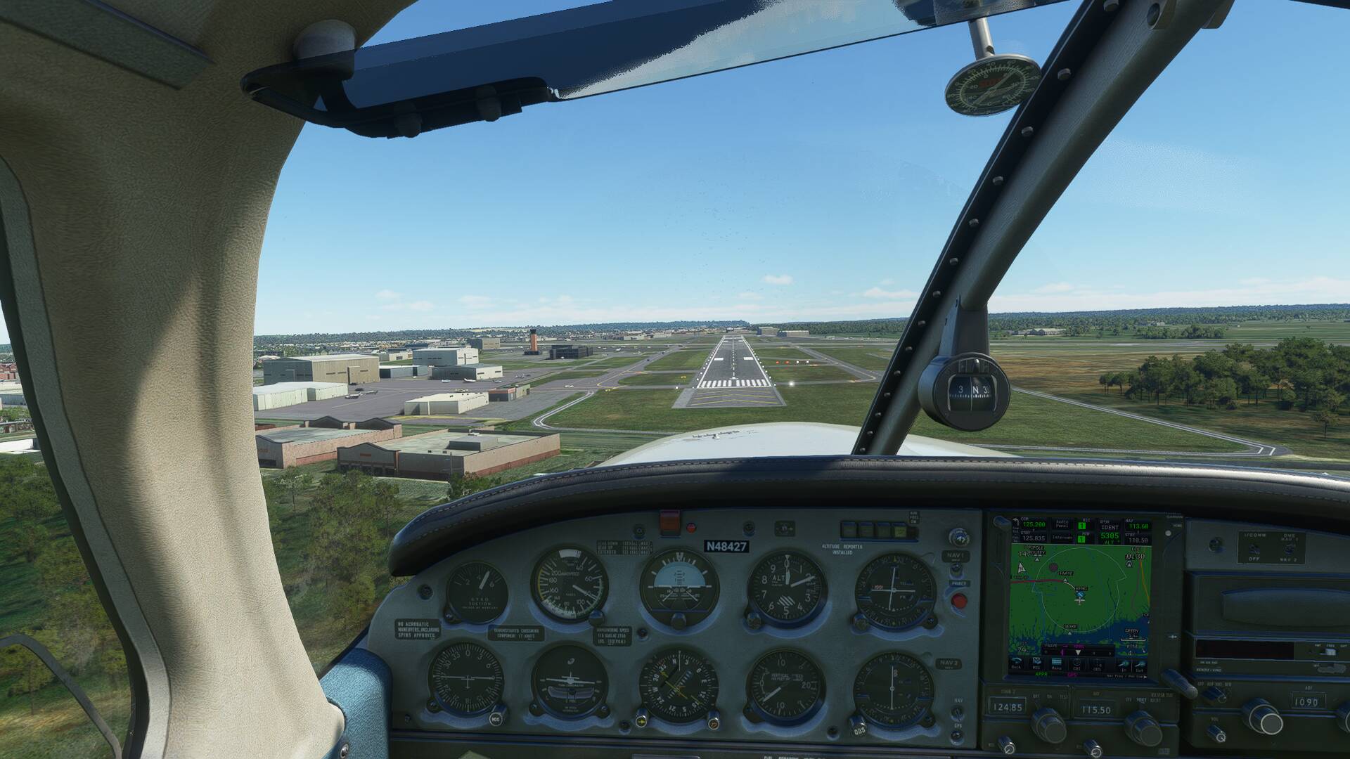
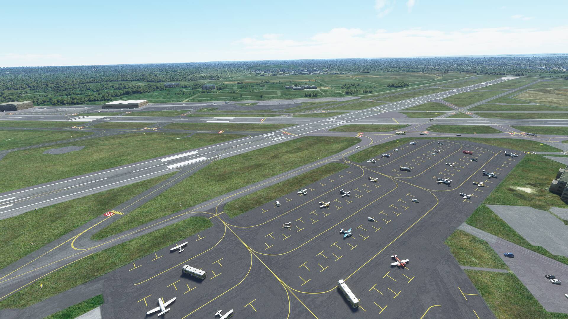
I elected to make a full stop into KRKS (Southwest Wyoming Regional Airport), in order to break up the seat time for the remainder of the planned leg. Light winds and a quiet traffic pattern allowed me to follow the main road out of Rock Springs, then turn left to align with runway 03.
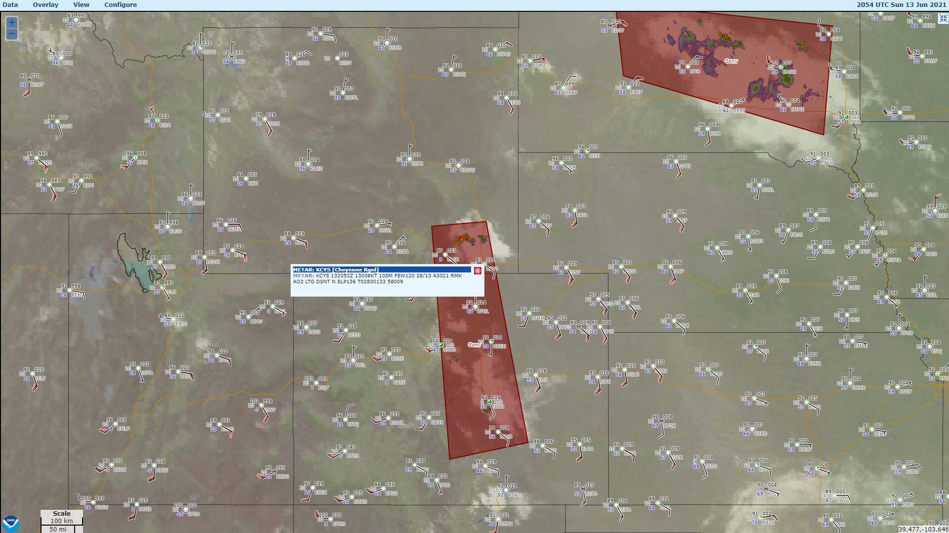
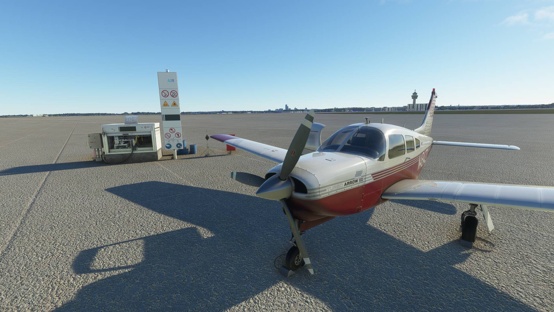
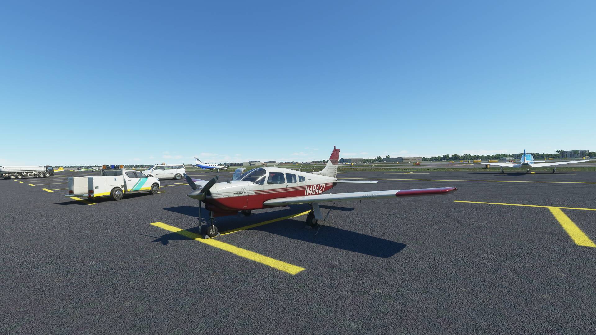
Upon touch down, I rolled ahead to vacate the runway left into the GA apron, and shut down at the fuel tank for a top up of motion lotion. Thunderstorms with tops above FL410 were reported north of Cheyenne, the next stop on the route, and whilst they were not preventing passage to the east at this stage- they can be unpredictable in nature and worth planning conservatively around.
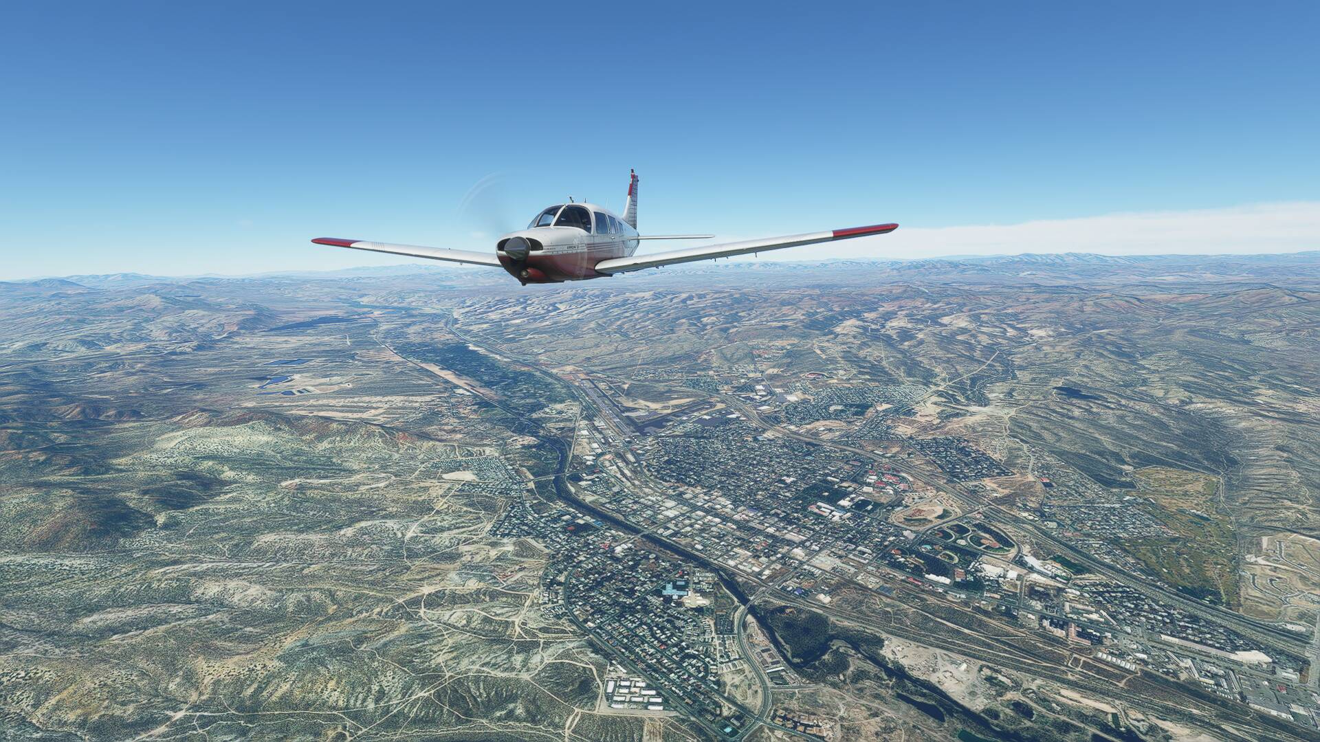
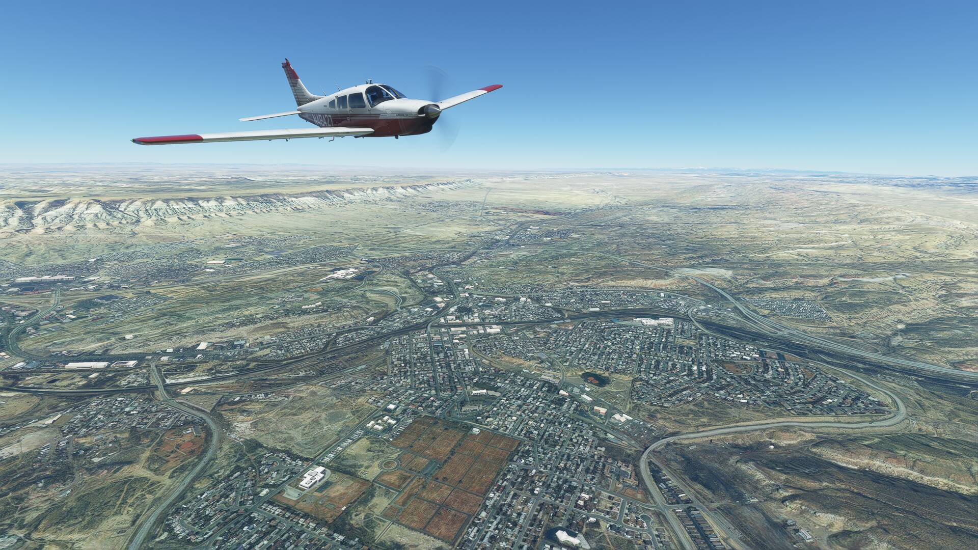
Once the engine was running again, I taxied to depart from the longer main vector, runway 09, as the field elevation of 6765 feet AMSL was the highest I’d be operating from on the entire coast to coast traverse.
A noticeably longer takeoff roll followed, with the air molecules required to get the Arrows wing flying in much shorter supply here compared to the down at sea level.
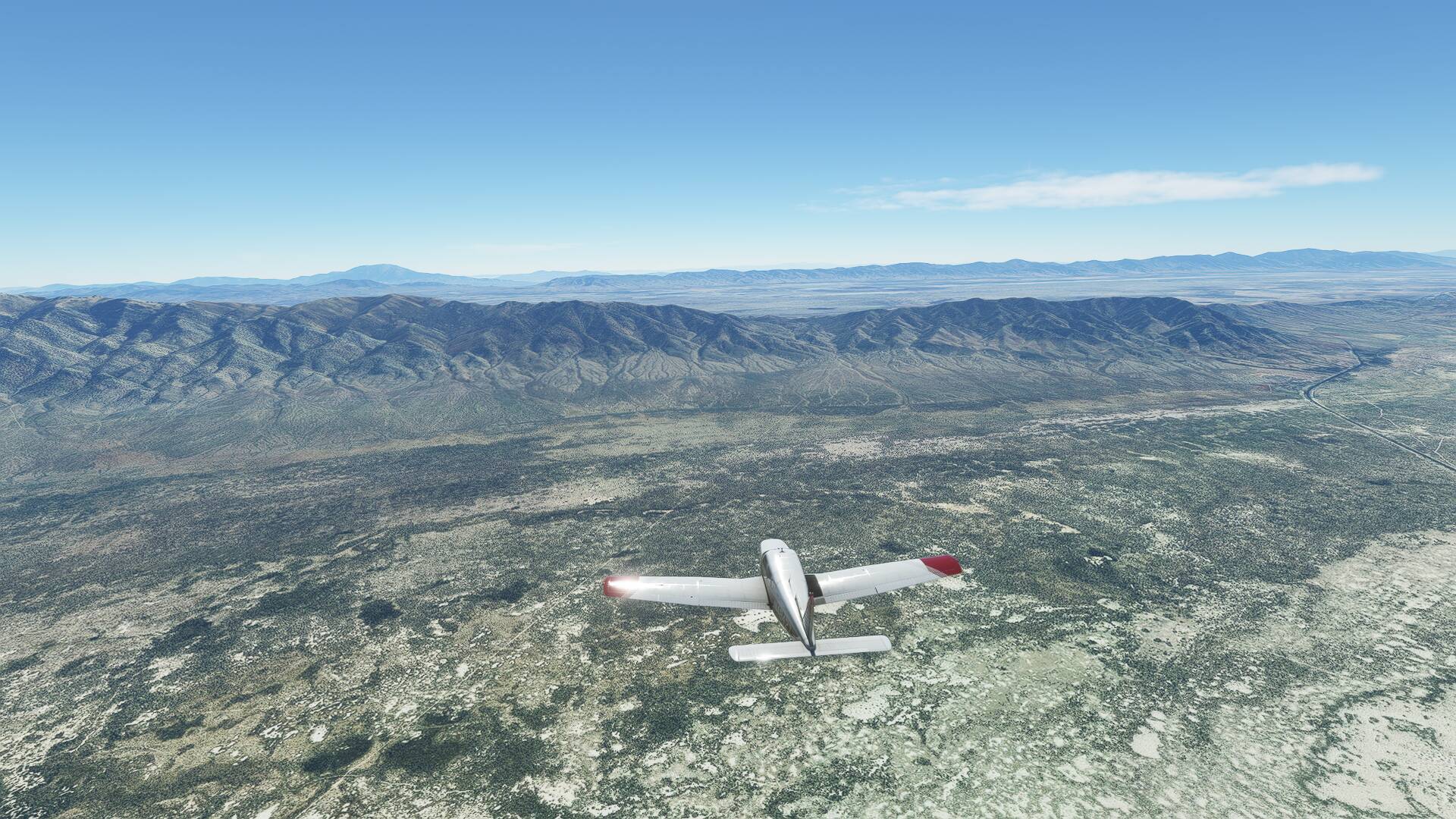
High terrain between KRKS, and the next mail route stop, Cheyenne required a climb to 12,000 feet AMSL for safe passage. I learned that interestingly, Part 91 general operating rules in the States permit continuous unpressurised flight without any supplemental oxygen between 10,000 & 12,000 feet, with supplemental O2 only required above 12k.
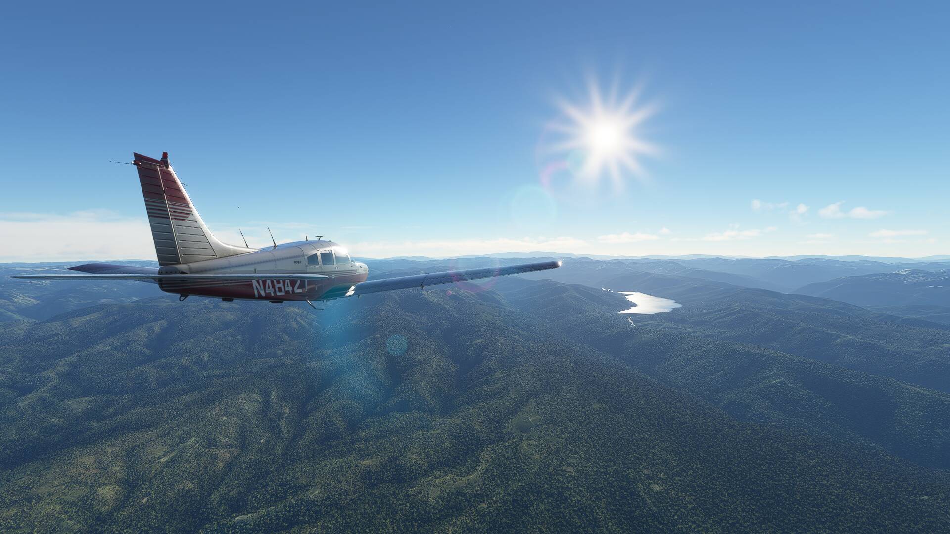
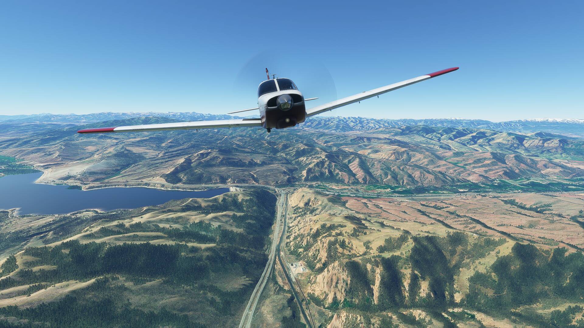
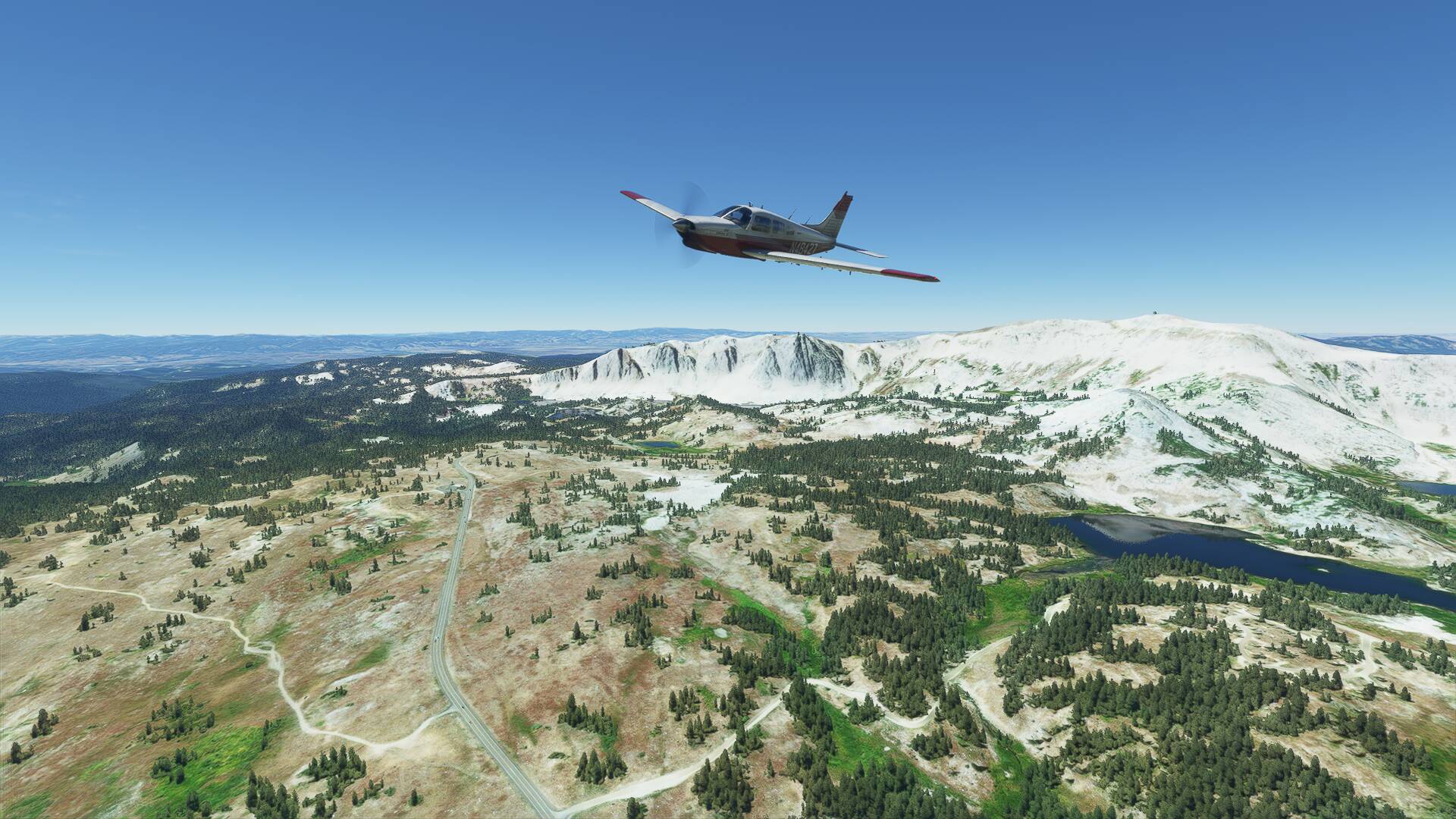
The snow capped Medicine Bow Mountain, within the creatively named Snowy Mountain Range lied directly on track, and has previously proven to be perilous to aviators. In 1955, a United Airlines DC4 crashed into its summit whilst flying VFR at 10,000 feet. Investigators theorised that an incorrect altimeter setting was to blame, and due to the hard to access location of the crash site, parts of the aircraft remain there to this day.
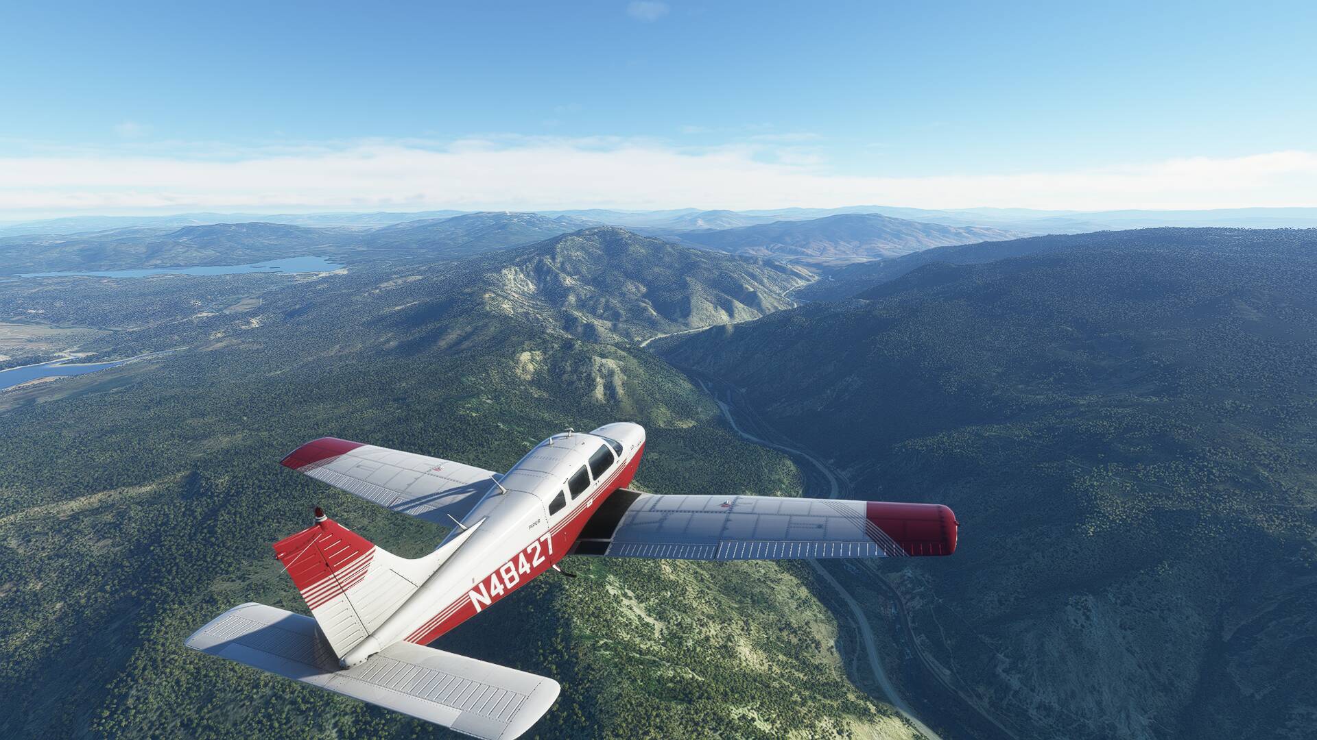
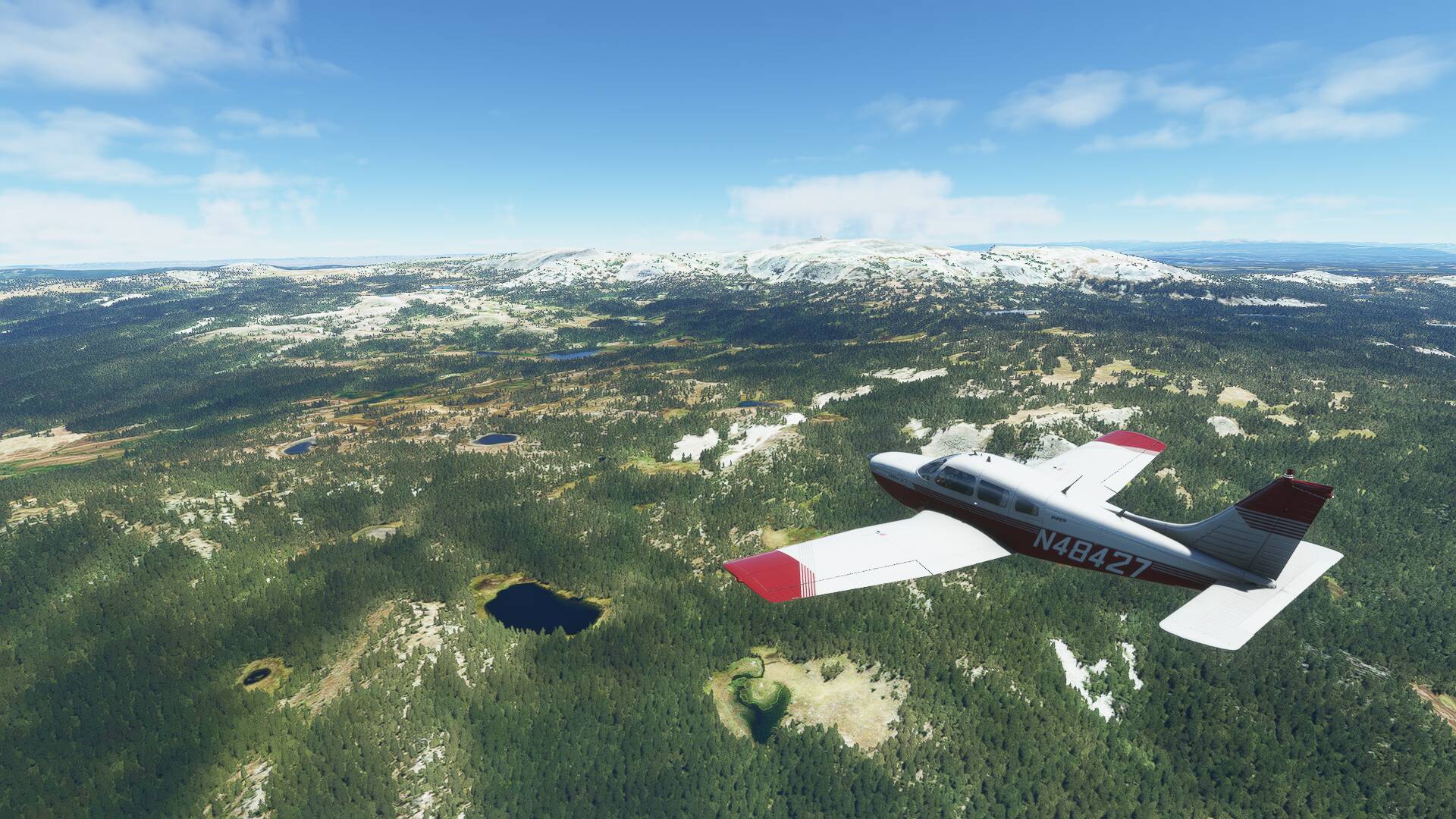
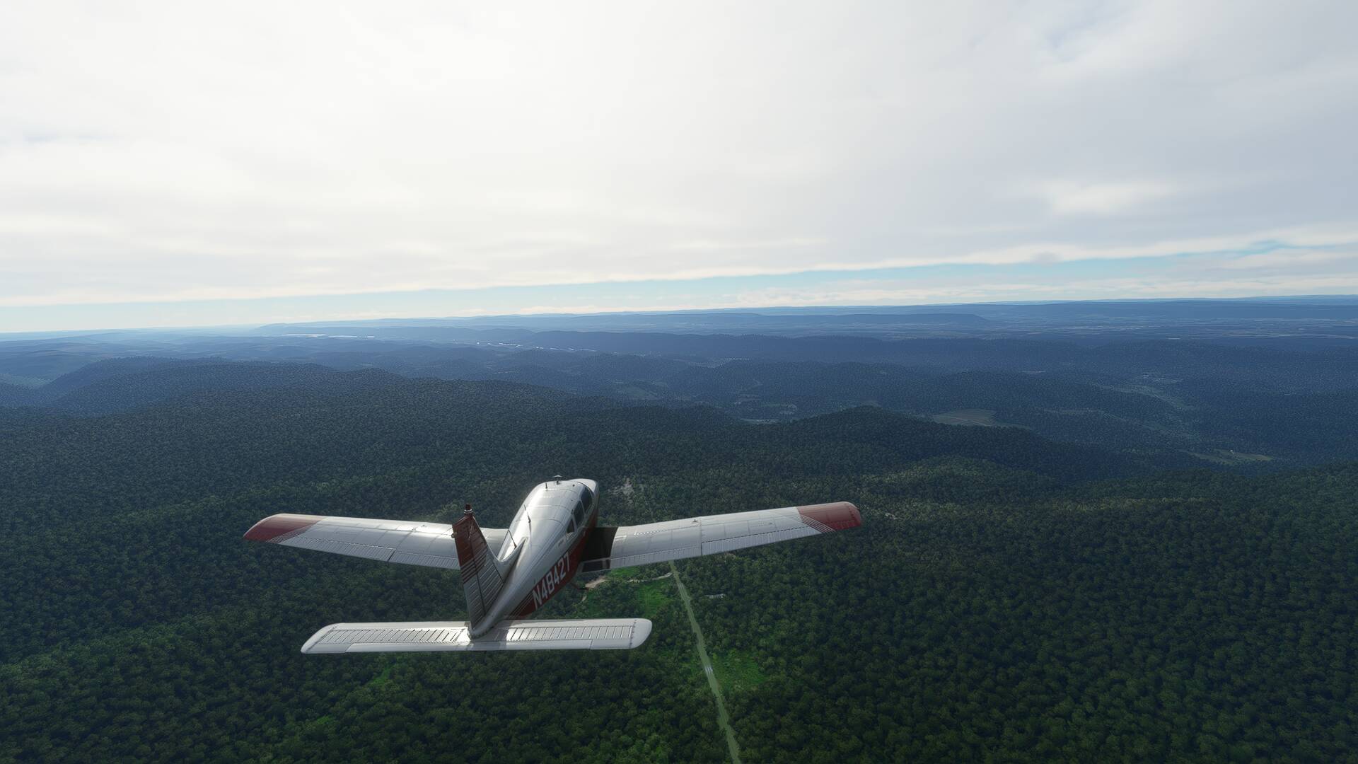
As I approached said mountain, I flicked the autopilot into HDG mode and steered my bug left, then right to weave around the forest clad topography, before re establishing the 082 track towards CYS VORTAC.
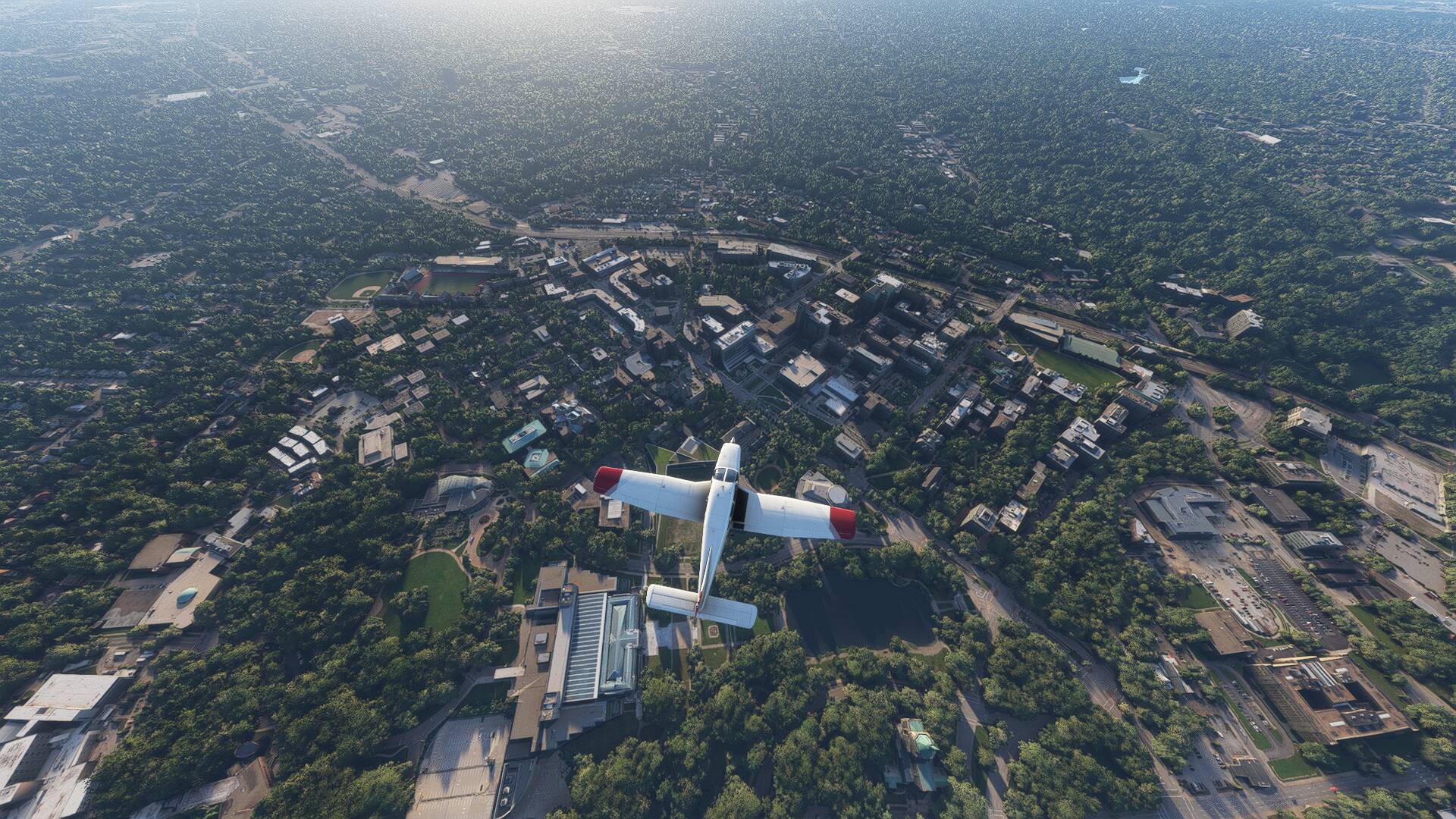
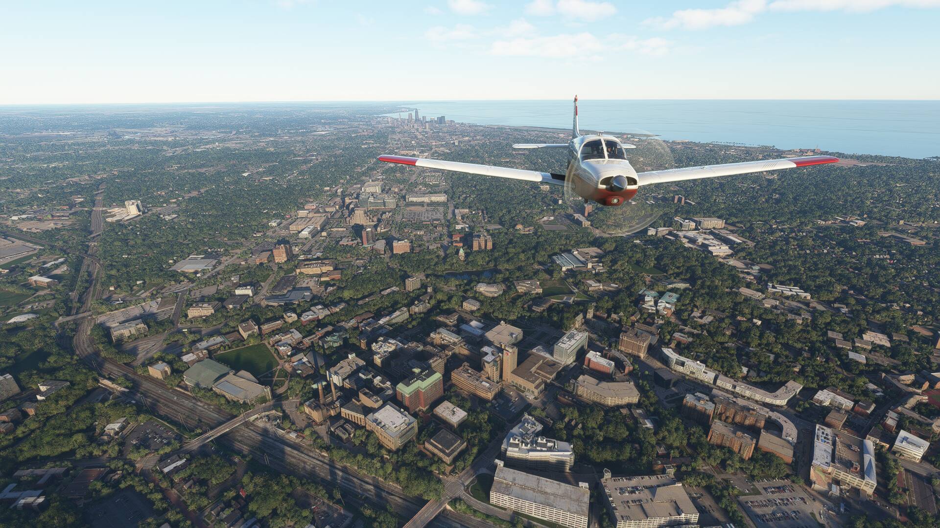
At the base of the mountain range sits the city of Laramie, home to the University of Wyoming. The I80 runs through Laramie, connecting it to nearby Cheyenne, the state capital and largest city in the state.
Cheyenne was established in the 1860’s as a railroad settlement, growing rapidly in size earning it the nickname the Magic City of the Plains. The airport was constructed in the 1920’s to serve the east-west air mail route, and grew itself to become the primary location B-17 bombers were fit out and dispatched from during World War II. Wikipedia tells me that the rear gun turret on the B-17’s are named the Cheyenne owing to the fact they were designed and built here!
These days the airport is a joint civil-military field, with scheduled United and American feeder services connecting the area’s 100,000 residents to Denver and Dallas. KCYS also functions as a high altitude airliner test site for Boeing and Embraer with the 787 and 737 Max models both tested here.
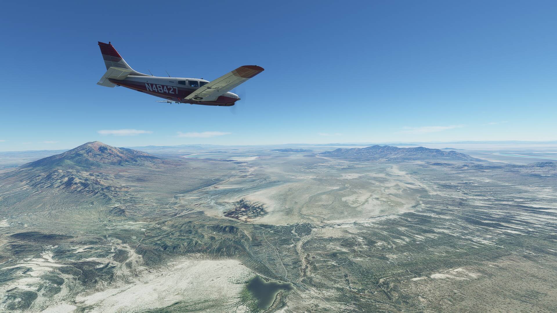
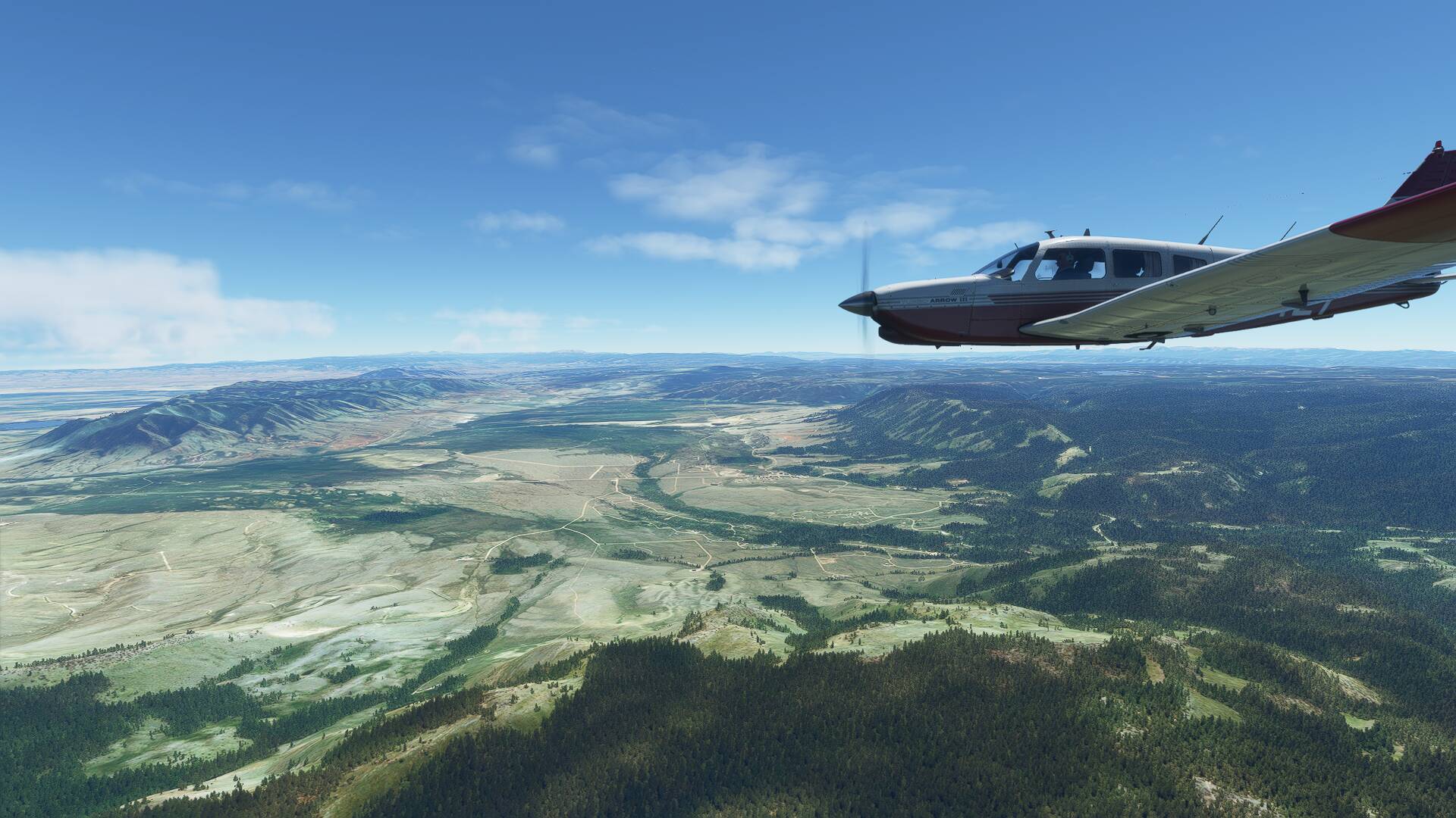
A slight heading change onto 078 magnetic was required overhead the beacon, which would track us towards North Platte. This section of the route saw us crossing from the Mountain time zone to the Central time zone, as well as flying across the state border into Nebraska.
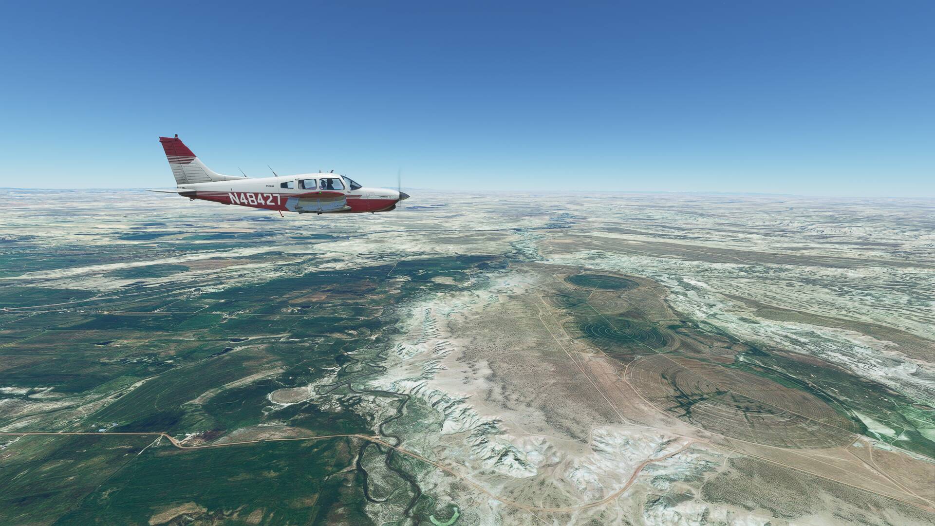
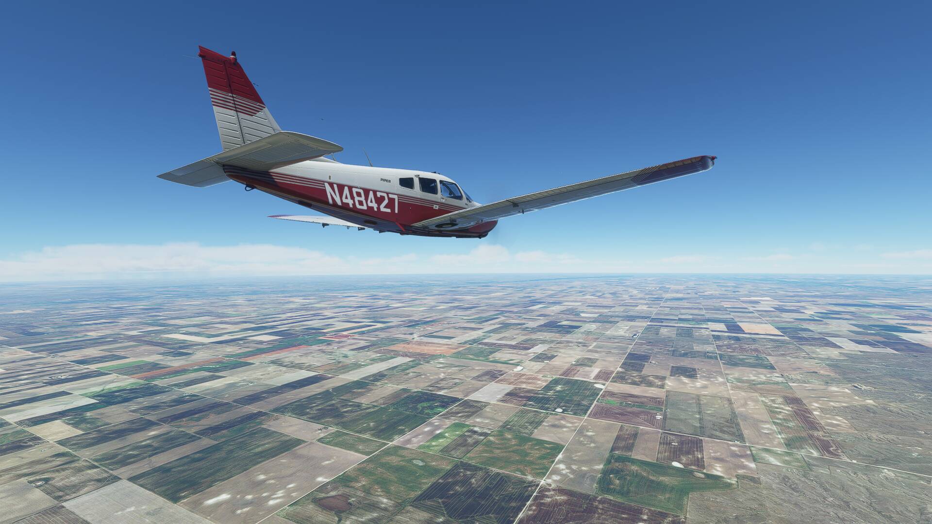
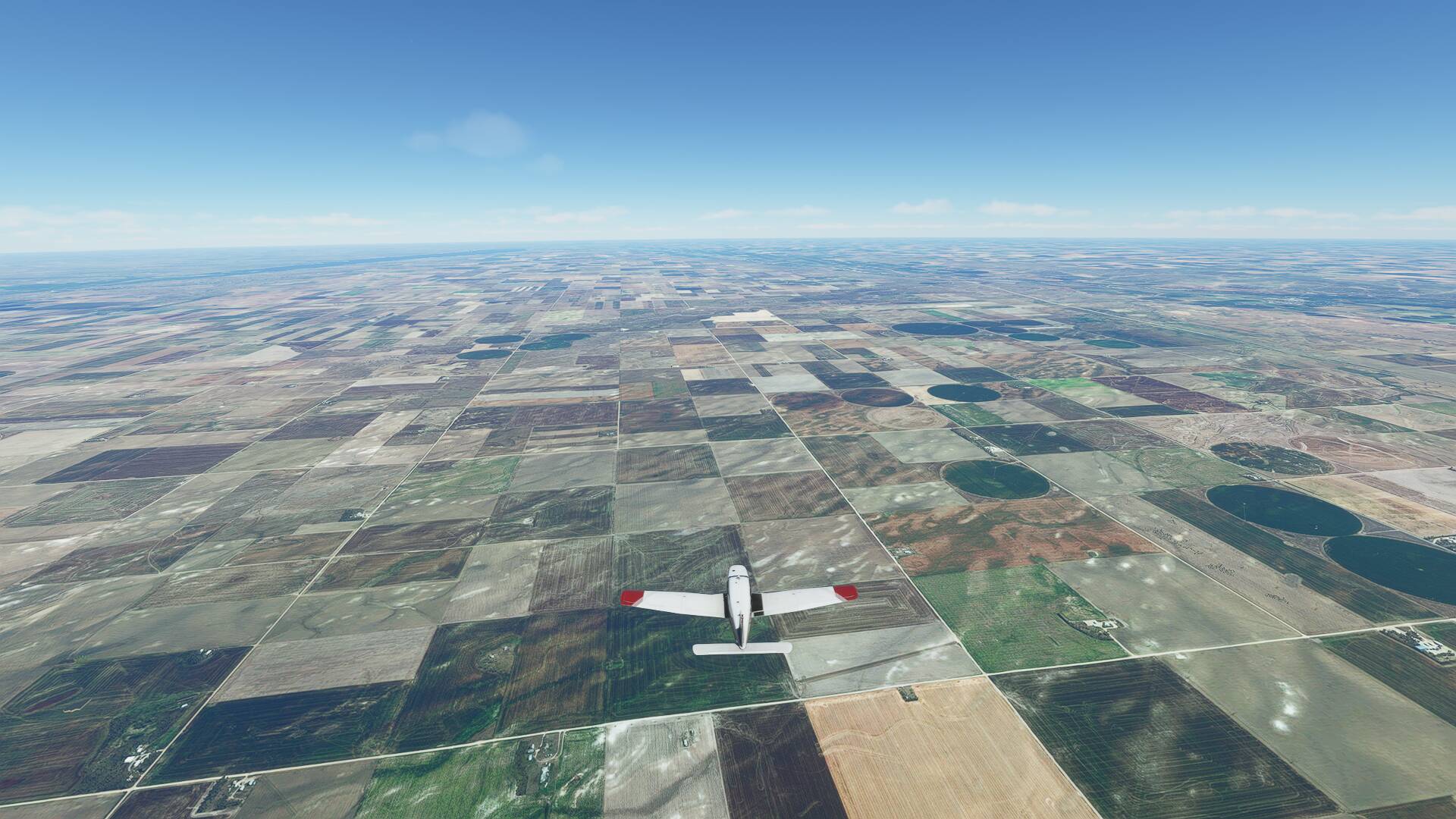
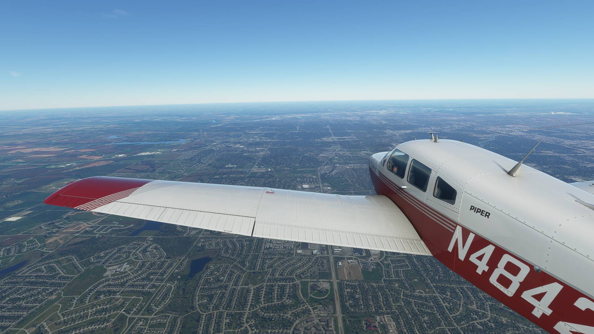
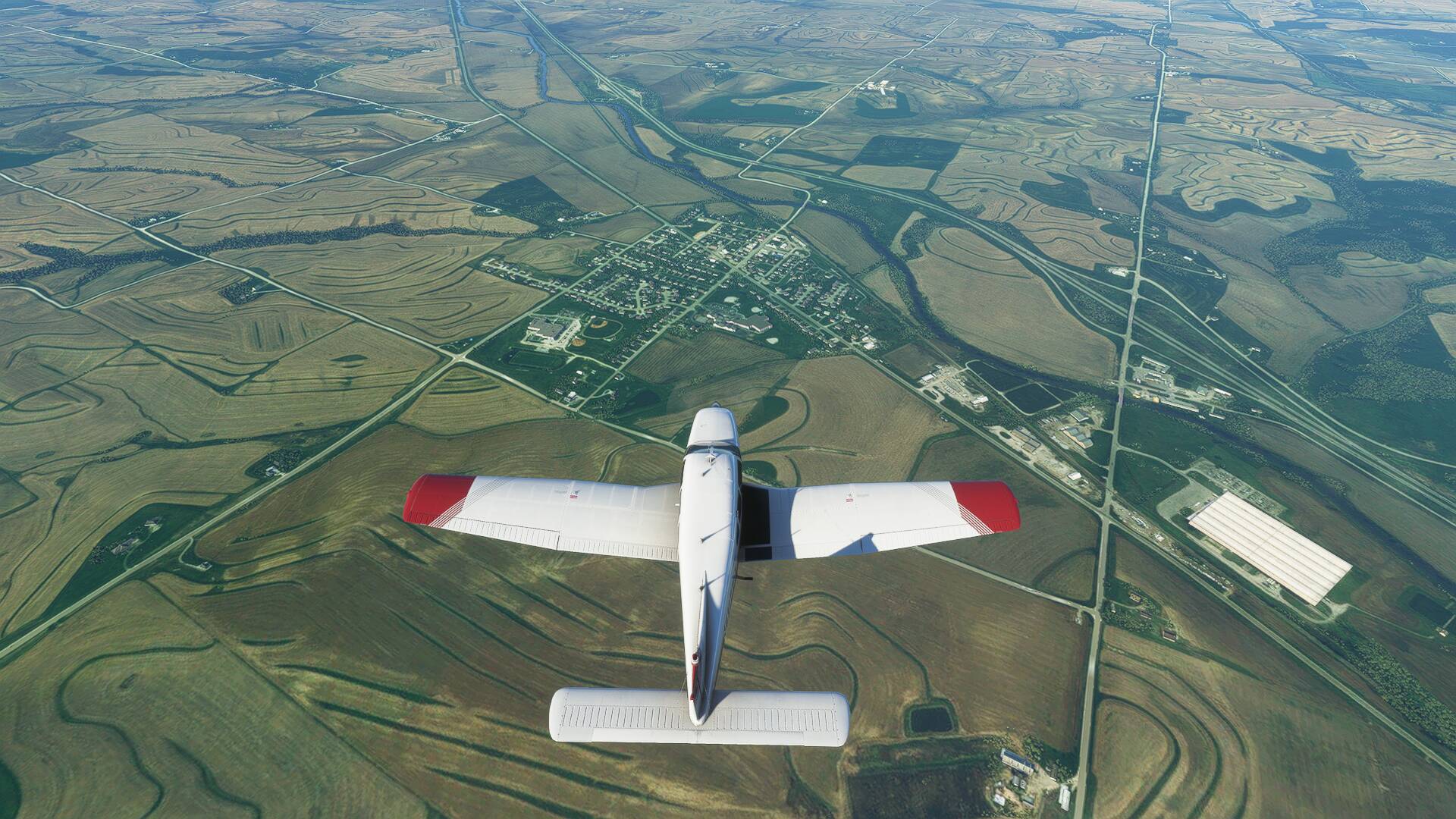
My knowledge of the state is pretty low, mainly based of references to corn from Penny on the Big Bang Theory. Leaving the city, the surrounding countryside revealed a patchwork of irrigated agricultural fields, neatly aligned within a giant grid system, aligned with the four points of the compass.
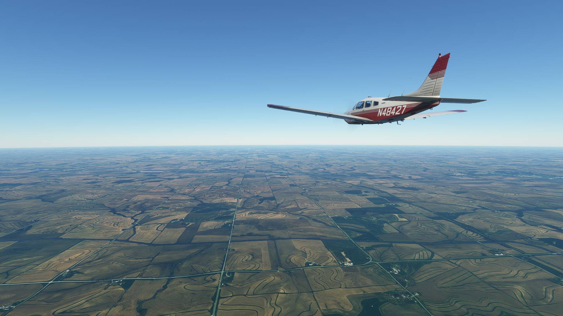
The terrain level below the flight path descended considerably from the high plateaus of Wyoming, enabling me to drop my cruise level down to 8000 feet in search of favourable wind conditions.
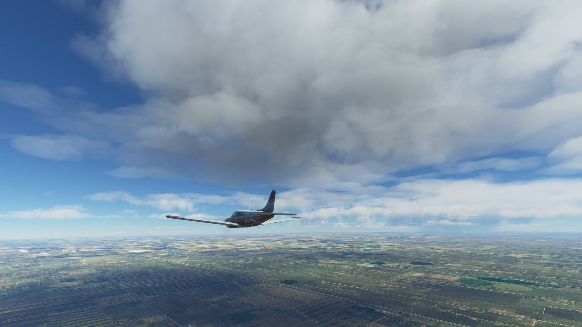
The large thunderstorm cell mentioned earlier was clearly visible off to the left of our route, with big rain bands streaming from its base and the occasional lighting bolt flashing out to my peripheries for a short time after departing Cheyenne.
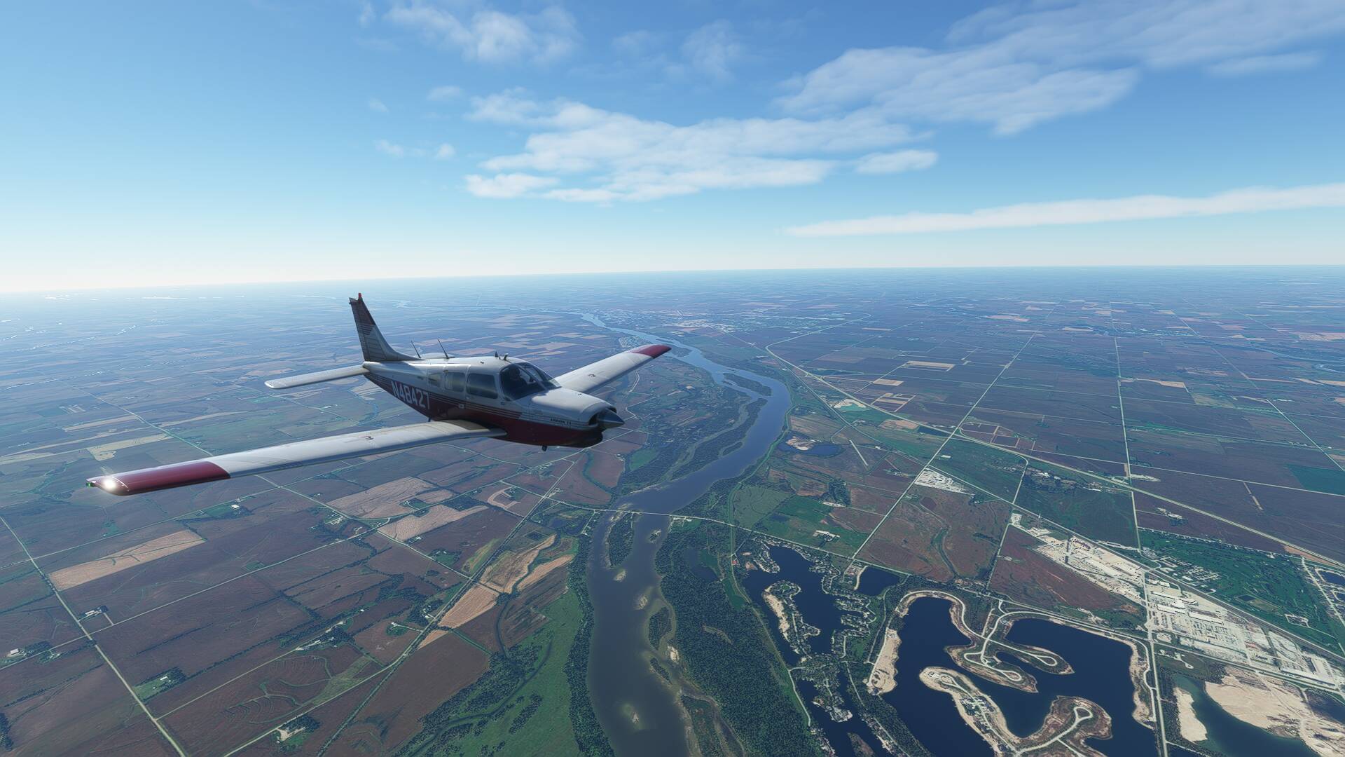
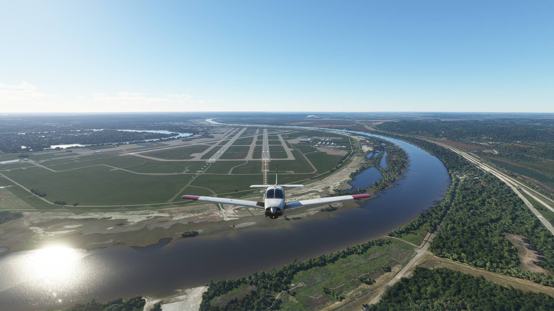
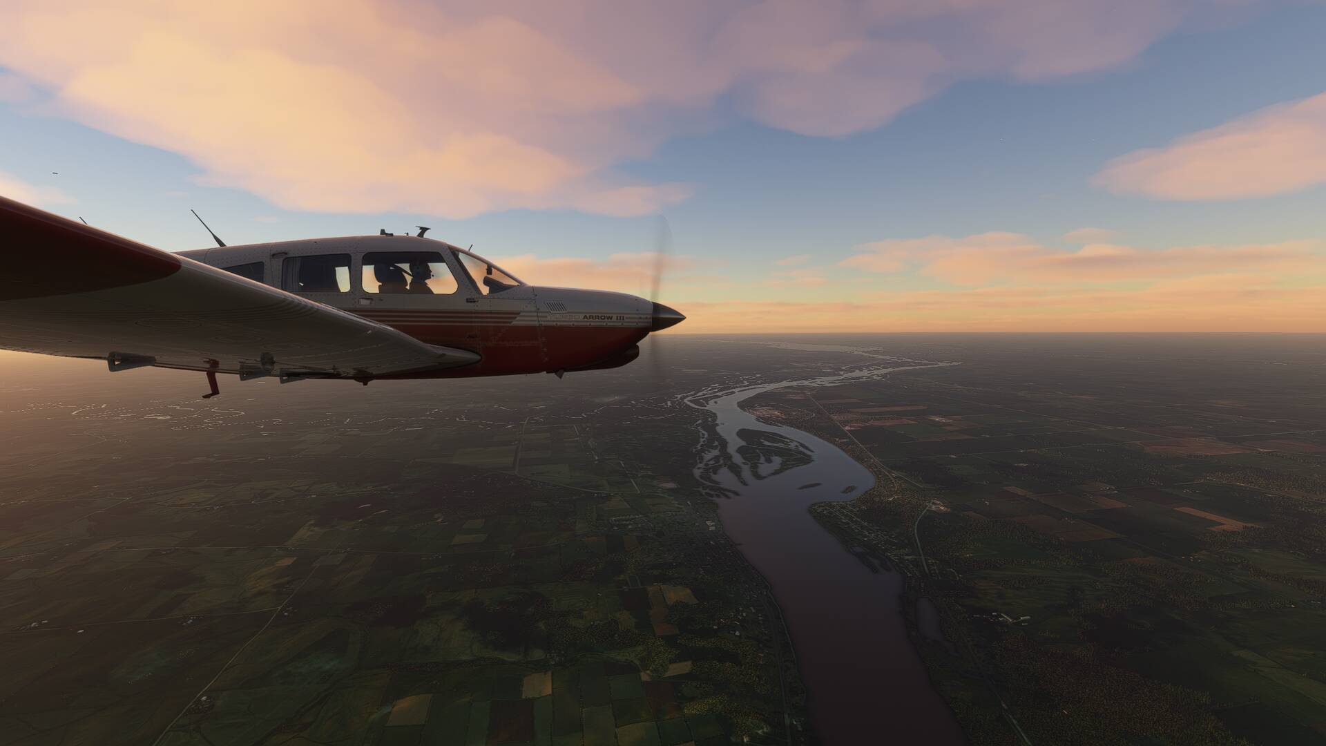
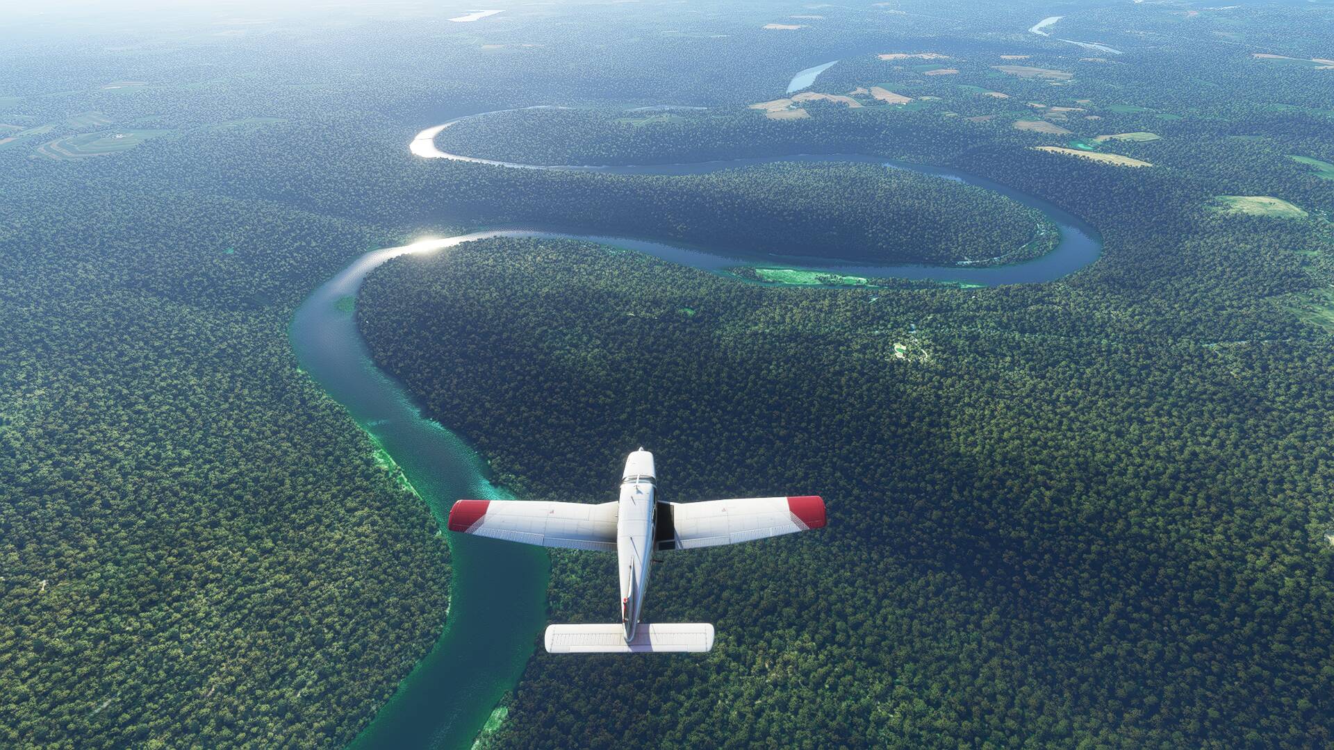
Blue skies were ahead on the horizon though, and soon enough I was back in the clear overhead the South Platte River, following its course towards the town of North Platte, where a parallel watercourse merges with it to form the larger Platte River. The town is famously home to worlds largest rail depot- The Bailey Yard, which was visible under our right wing upon arrival overhead.
The final destination of Omaha was what I set my heading to next, Nebraska’s largest city with some 975,000 residents. Interestingly, it does not hold the title of state capital, which belongs to nearby Lincoln, a little to the south west of my route.
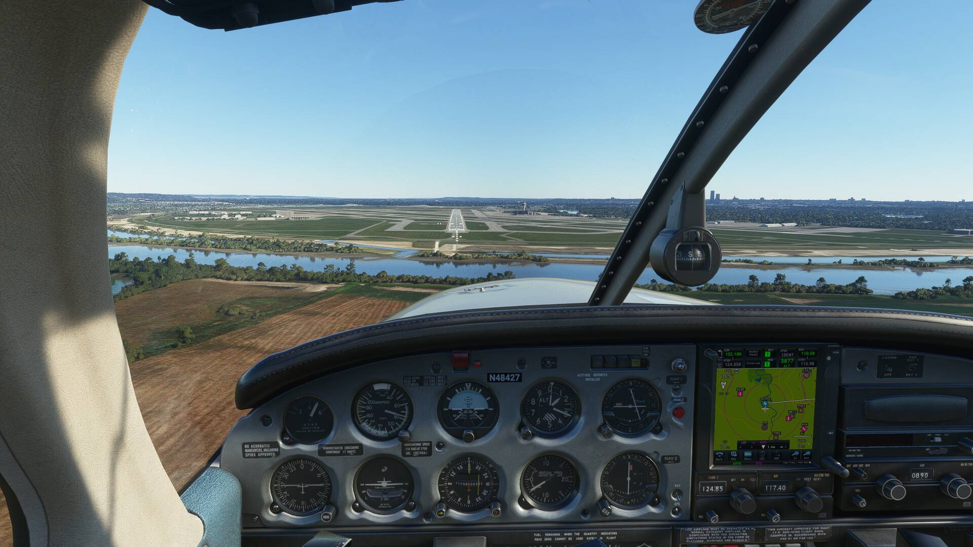
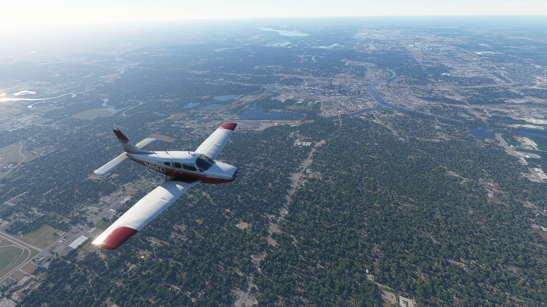
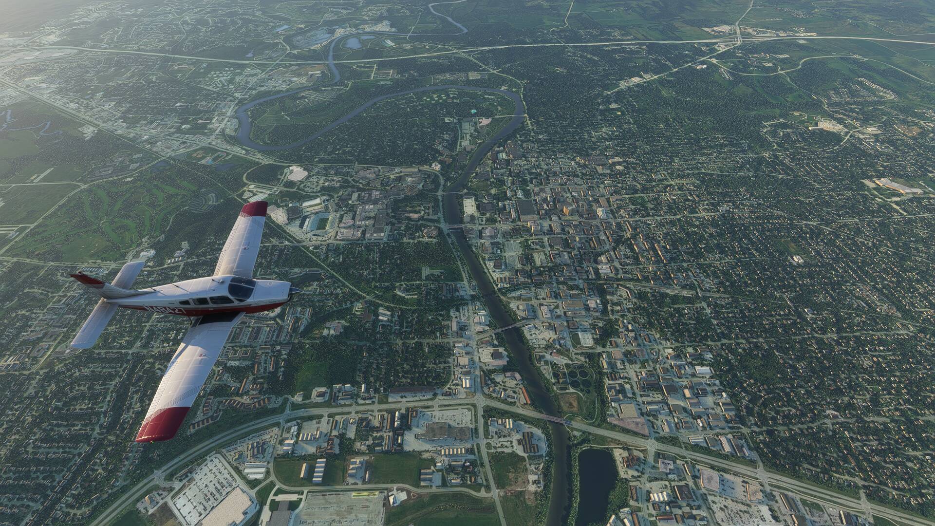
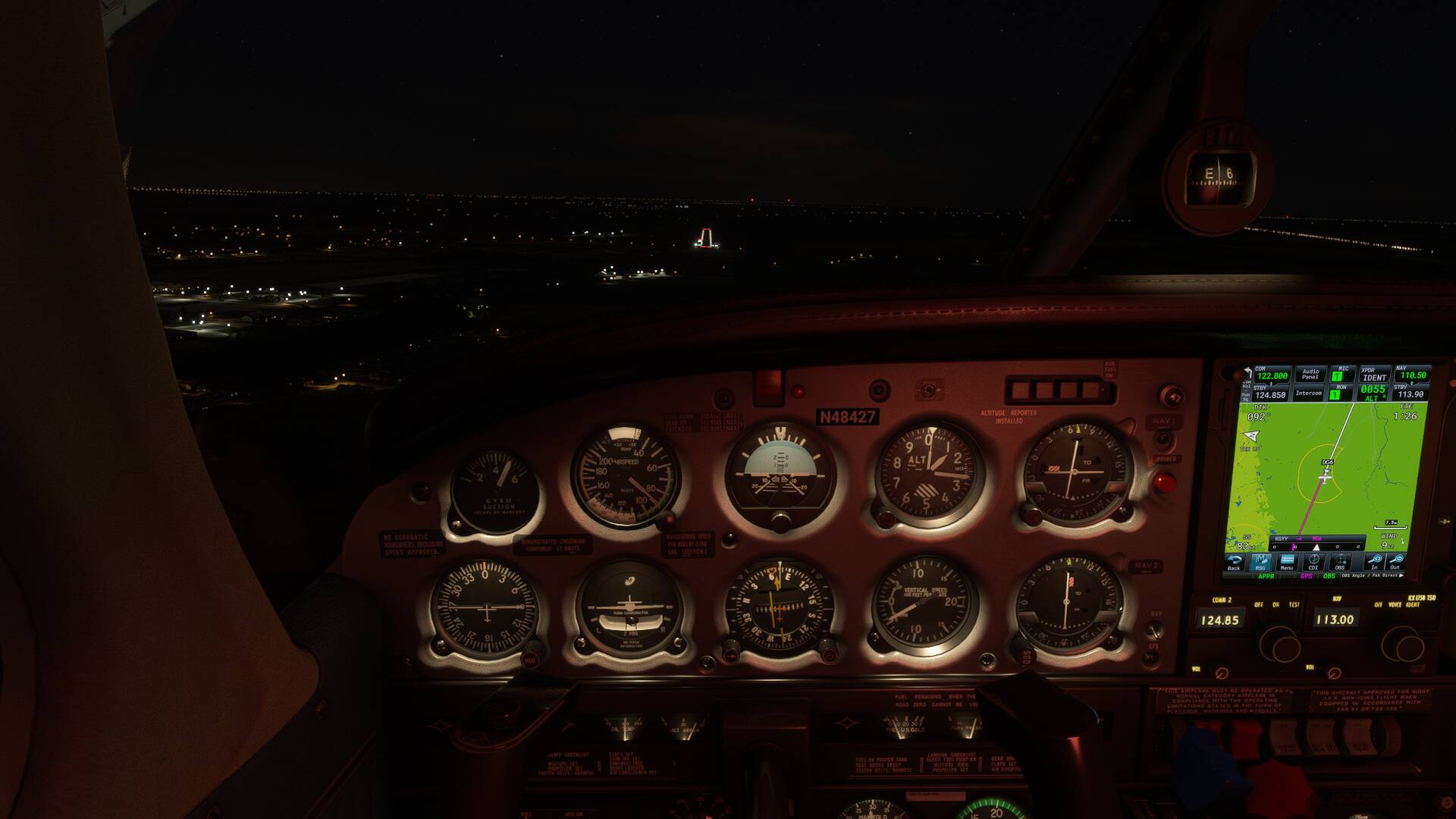
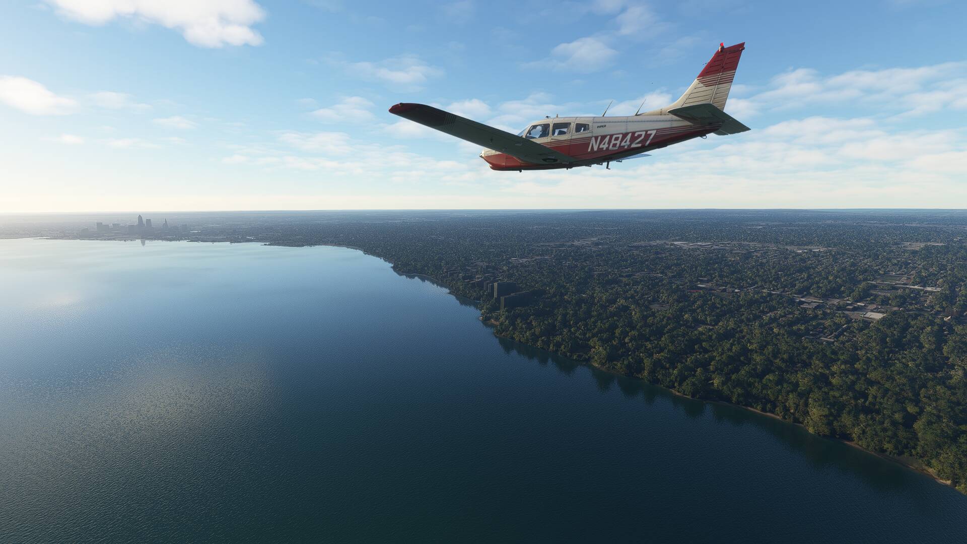
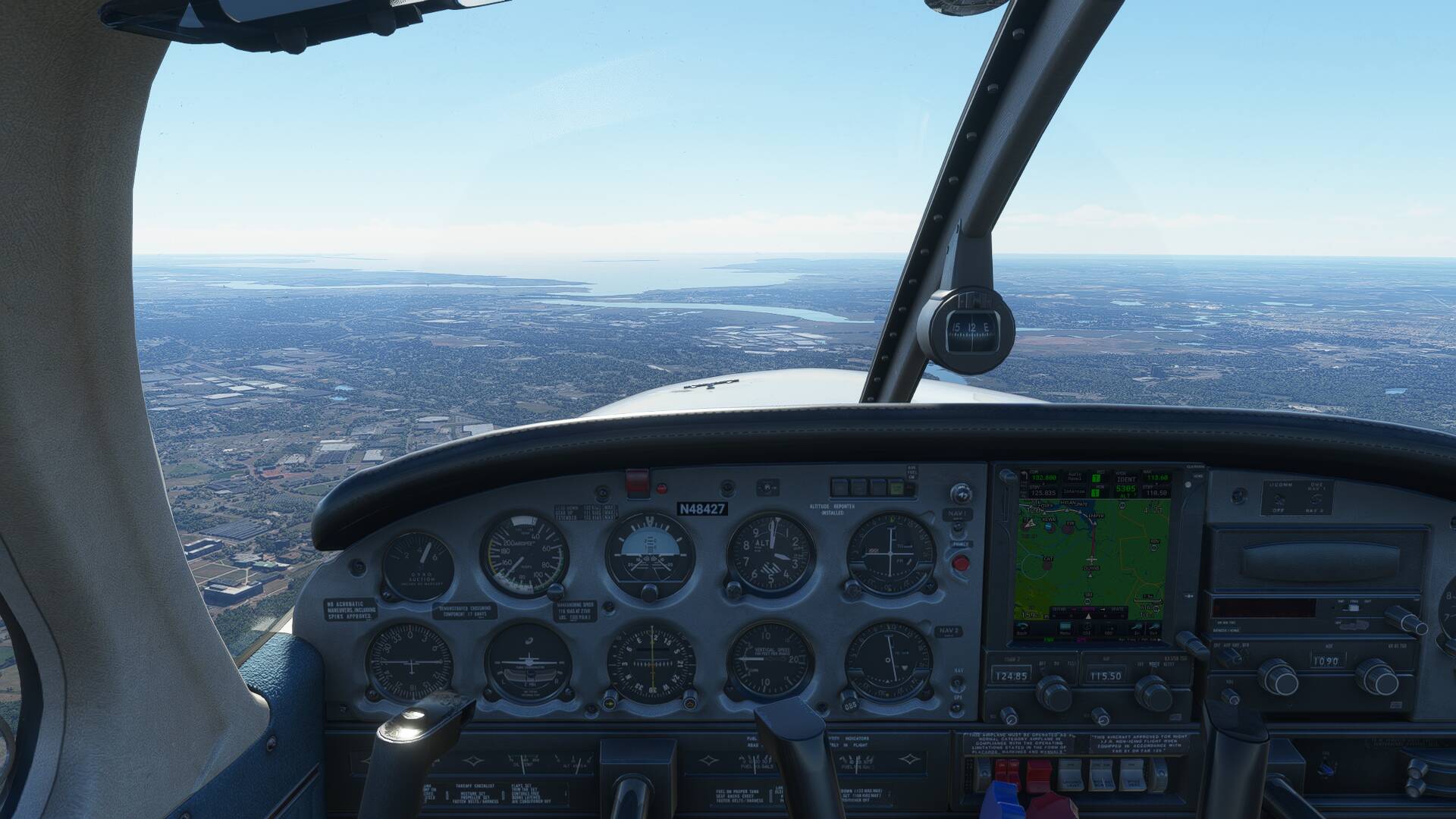
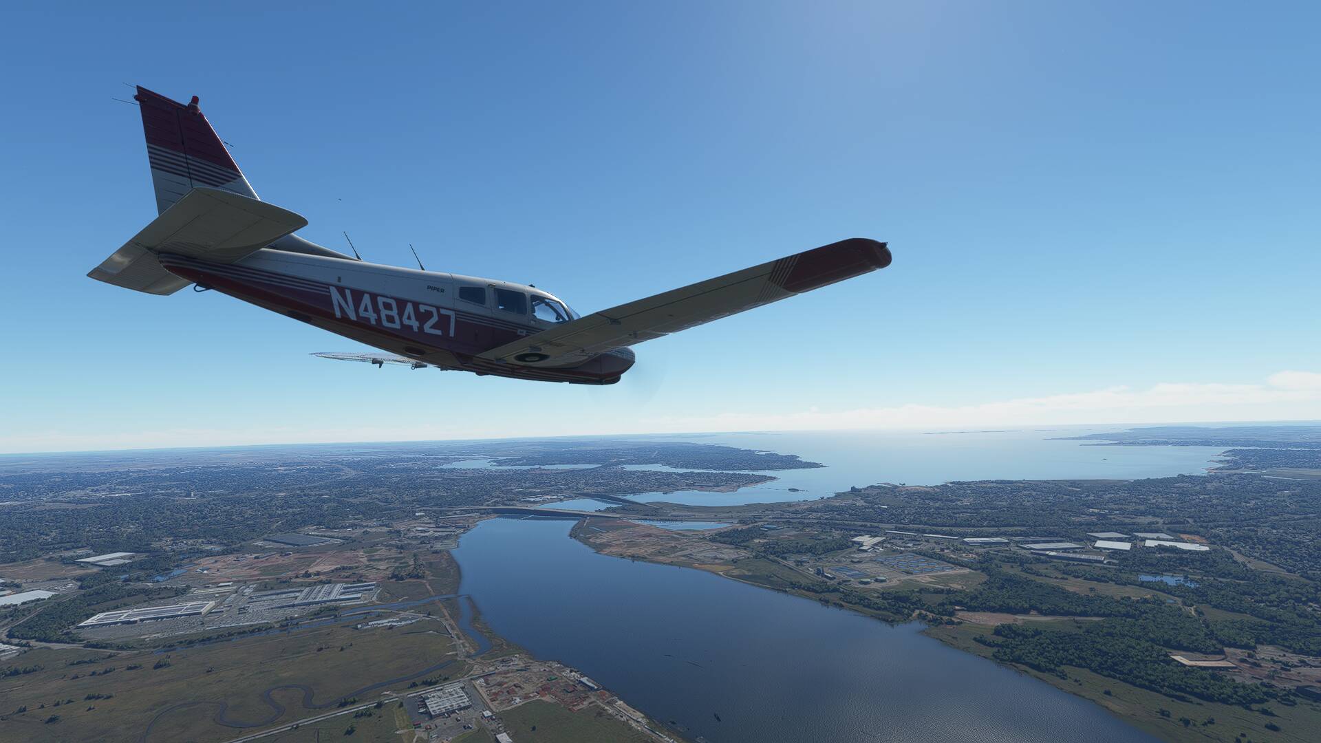
I was happy to finally see the sprawl of Omaha’s outer suburbs come into view as again, I crossed the Platte River and commenced my descent towards KOMA.
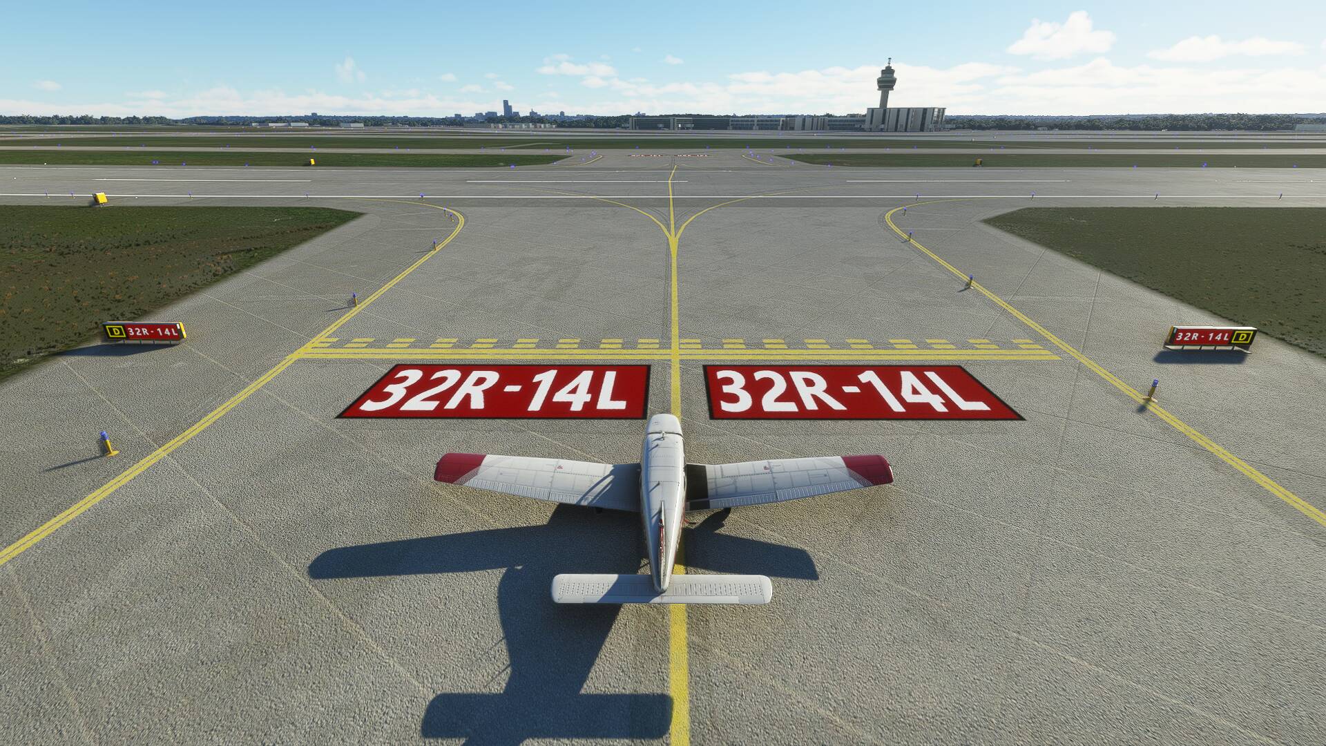
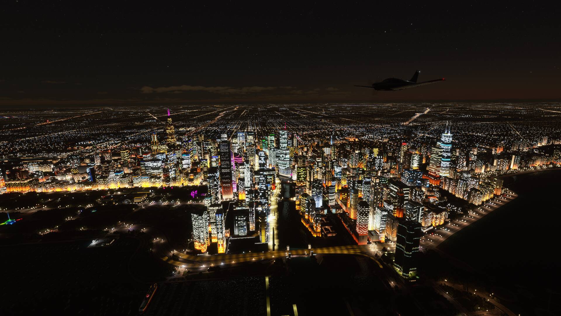
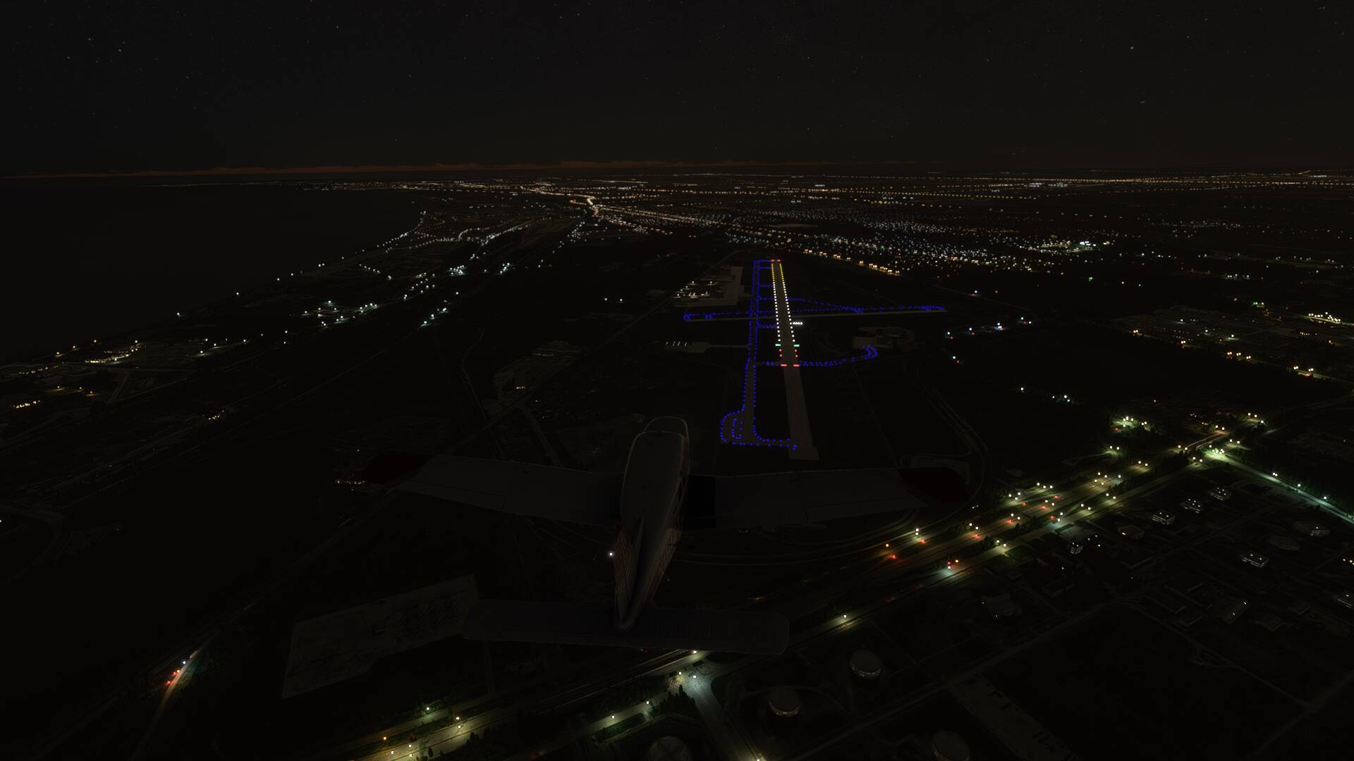
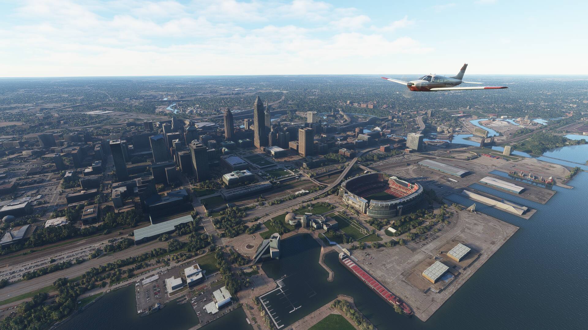
The tower instructed me to join a left hand downwind for runway 18, allowing for great views of downtown Omaha and the Missouri River in the early evening light as I made my overhead join. Touch down went to plan, and after a short ground roll, I vacated the runway via the high speed taxiway to my left, crossed runway 32 and came to a halt on the GA apron at 6.32pm local time.
Total flight time: 8 hours 15 minutes
Total distance: 1301 nm