I have been flying virtually since 2020 and posted about it since 2021. Even ran an “art blog” on Instagram for a year… which was a big mistake when I think about it now. I stopped enjoying the sim (yes, even if I accrued more than 900 hours in it) and tried to somehow both rekindle the old fire AND turn it into clout on a social media platform - or even here, in the forum. Some may know my old threads with a great idea, a drive to post stuff and a complete burnout after a few days or weeks, never achieving the “goal”. Well, I can’t promise that it will be different here, but for the first time in a long while I am enjoying myself in MSFS and I found the old interest of just sharing interesting locations with interested people. After a lot of work on my personality and a complete social media blackout for more than half a year I think I finally found my old love for this sim again.
Therefore: Please enjoy some shots of my flights and some small bits of informations I looked up. Let’s just have some fun together!
ToC / Reference Guide:
Route A: London → Sofia (11 Legs)
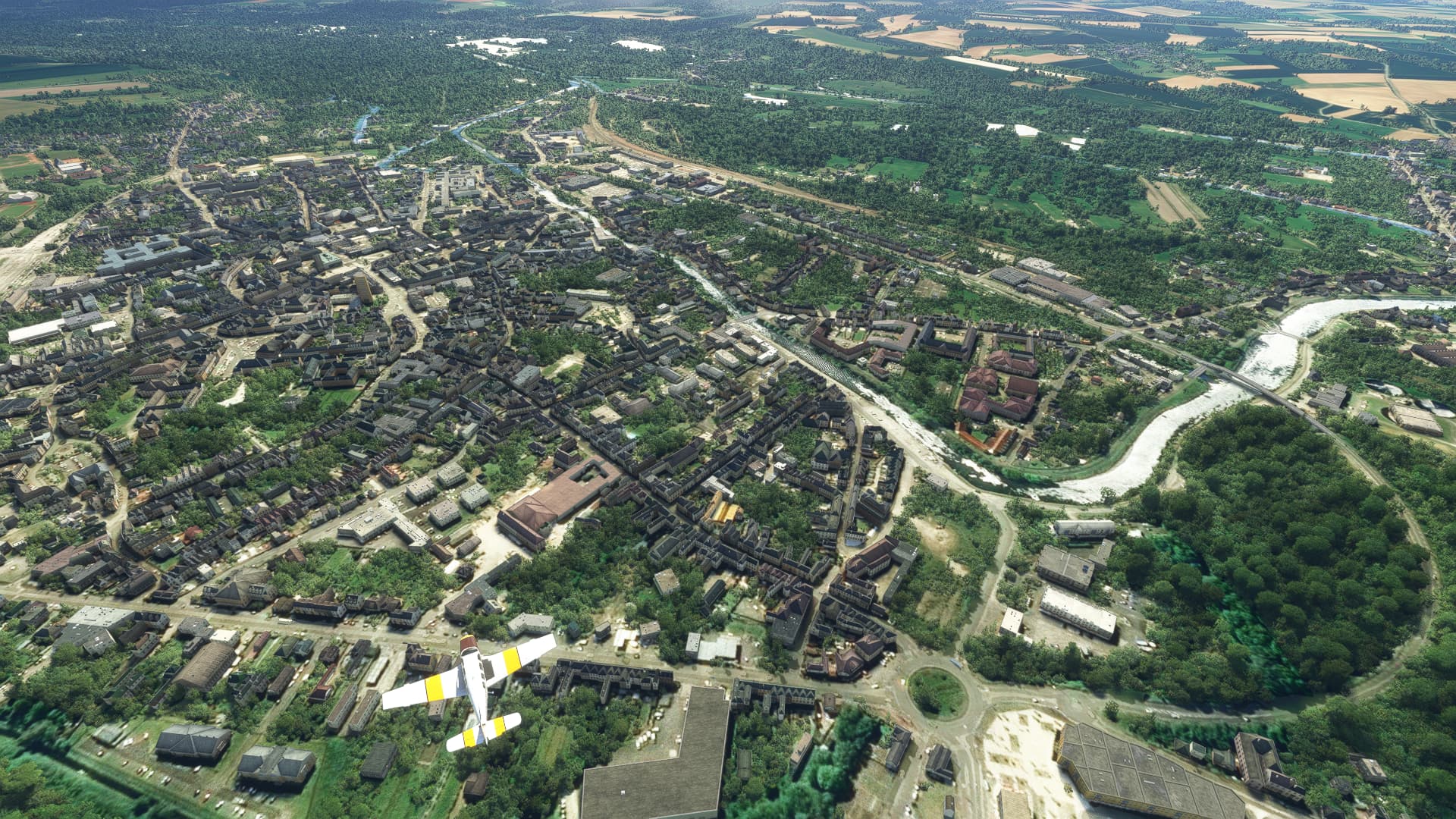
001: London City (EGLC) → Paris-Plage (LFAT).
002: Paris-Plage (LFAT) → Paris-Orly (LFPO).
003: Paris-Orly (LFPO) → Challanges (LFGF).
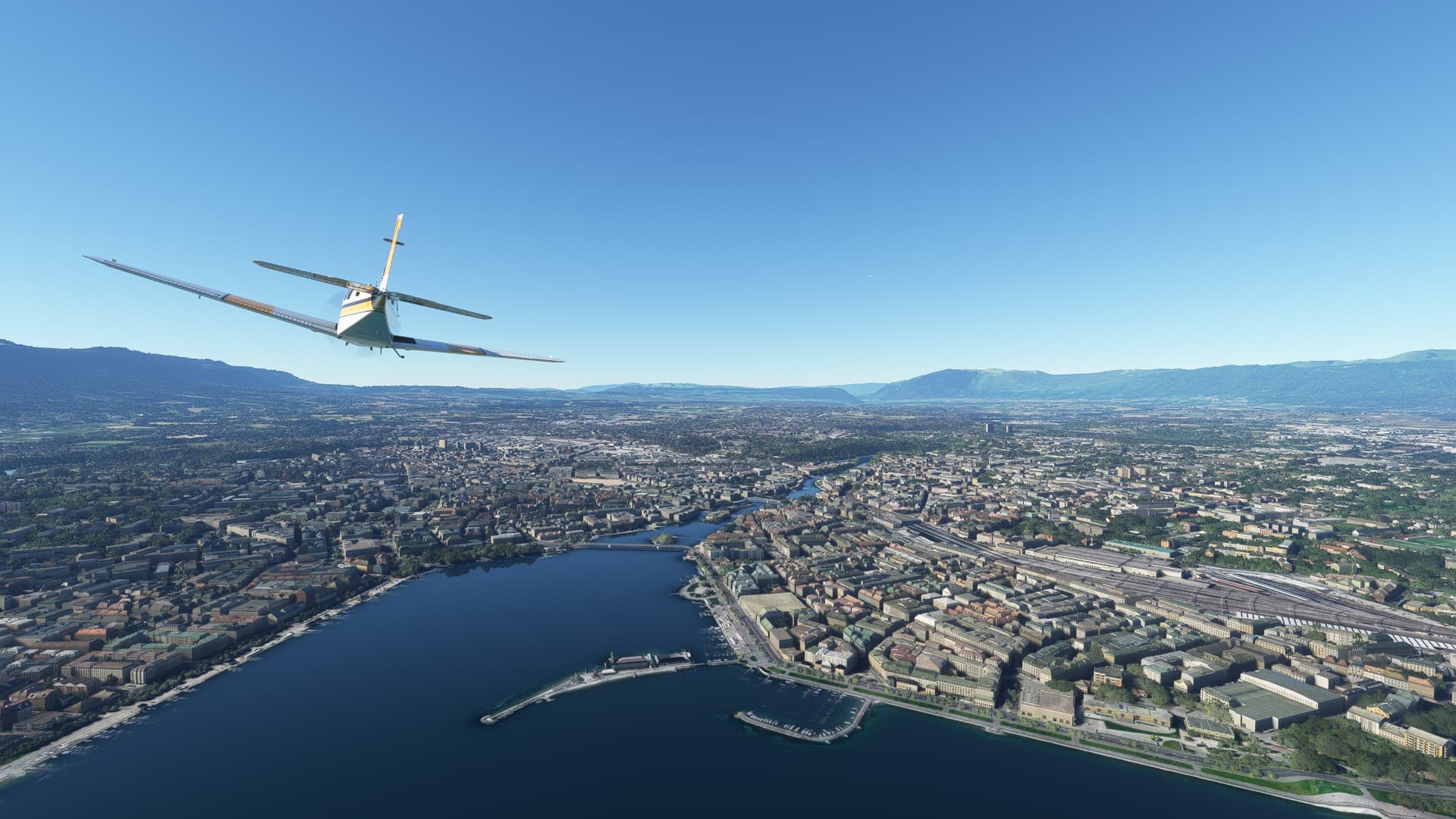
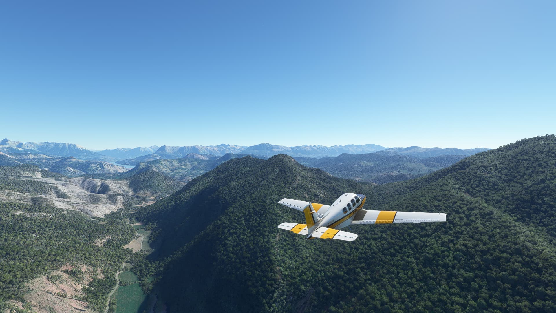
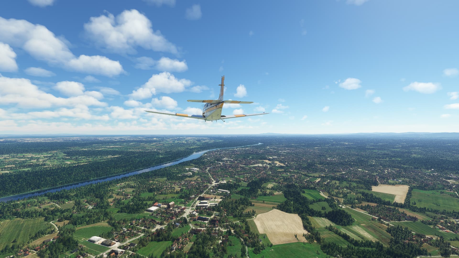
004: Challanges (LFGF) → Geneve (LSGG).
005: Geneve (LSGG) → Tallard (LFNA).
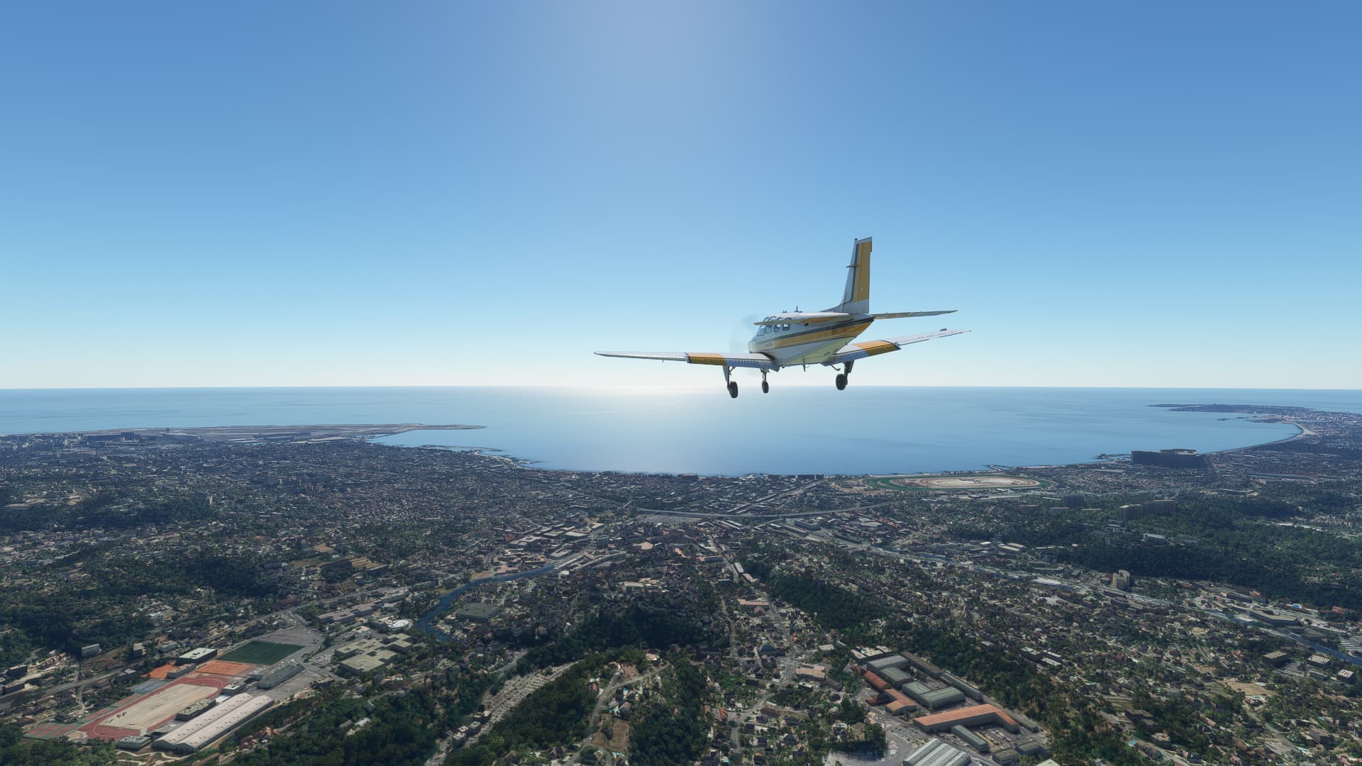
006: Tallard (LFNA) → Nice (LFMN).
007: Nice (LFMN) → Parma (LIMP).
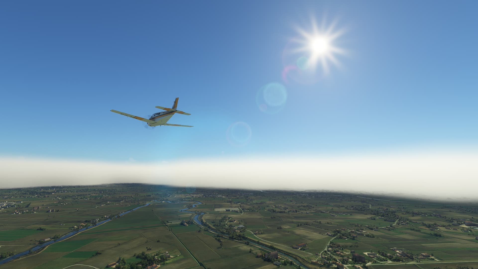
008: Parma (LIMP) → Portorož (LJPZ).
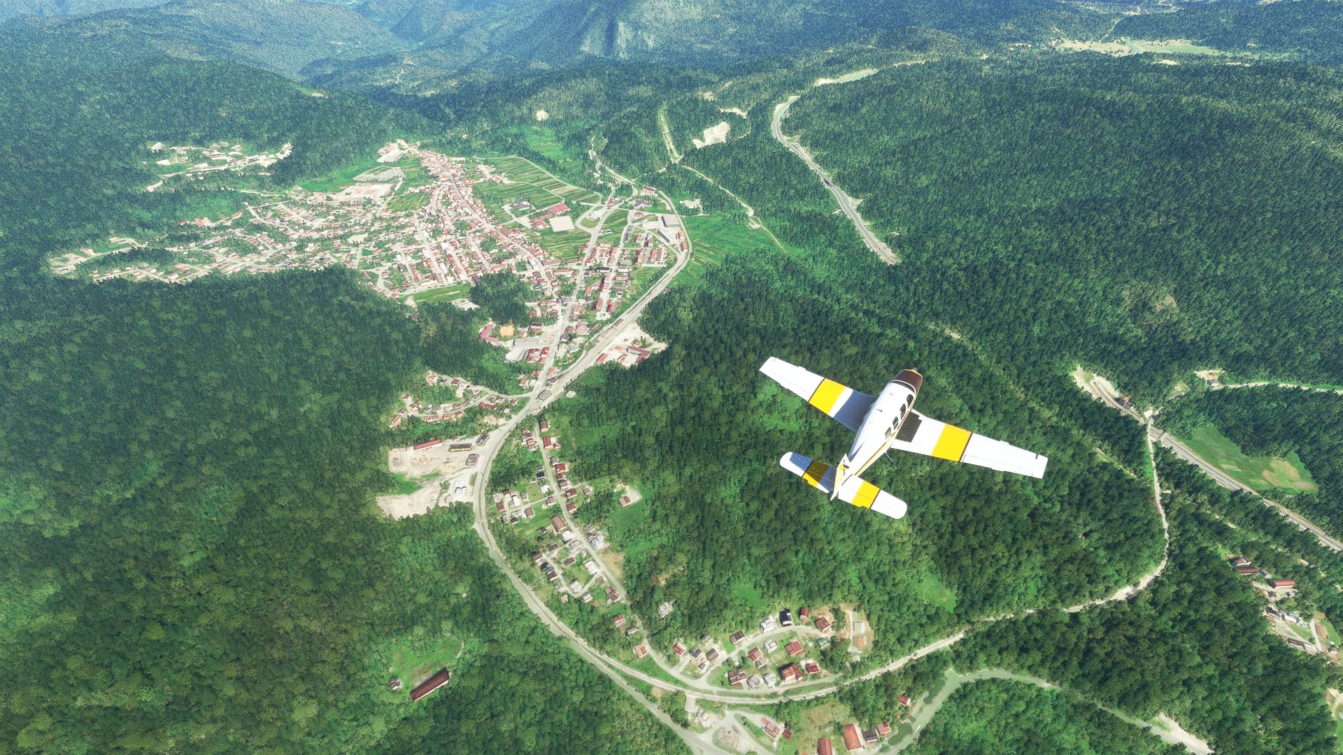
009: Portorož (LJPZ) → Prijedor (LQPD).
010: Prijedor (LQPD) → Belgrade (LYBE).
011: Belgrade (LYBE) → Kumaritsa (LB20).
001: London City (EGLC) → Paris-Plage (LFAT).
POI’s:
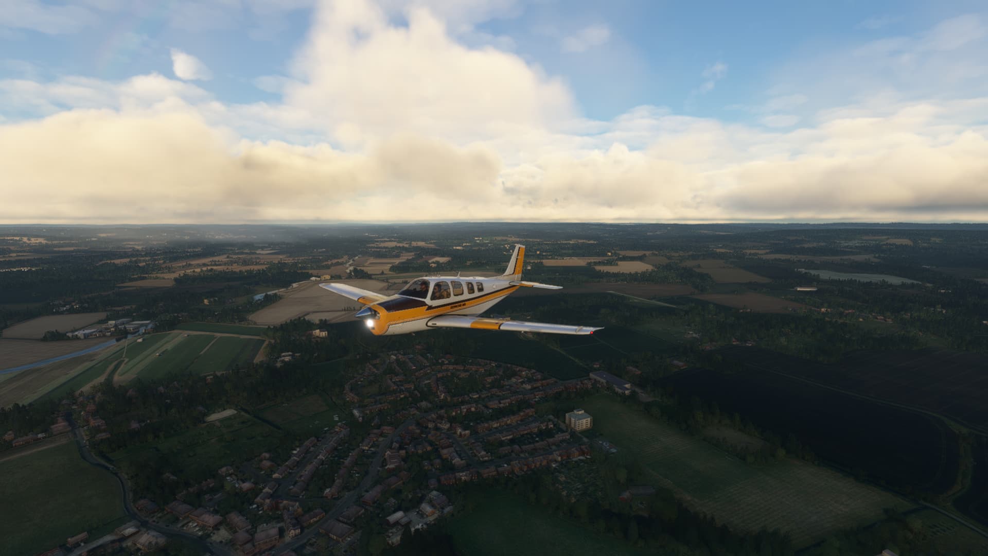
The village of East Peckham in Kent: It was here that I finally felt again like in the old times when I started out as a fresh-baked sim pilot in MSFS 2020.
Sunrise over the fields southwest of Tenderton. Felt cozy, not much to say about it.
Leaving the UK near Lydd on the Channel Coast. Mark - I didn’t install any World Updates due to not wanting to fill half of my 1 TB drive with a single game. It is still beautiful, even after three years!
Boulogne-sur-Mer: Originally I didn’t intend to cross the Channel and wanted to end this flight in Lydd. My background playlist was too relaxing so I just continued onwards without thinking.
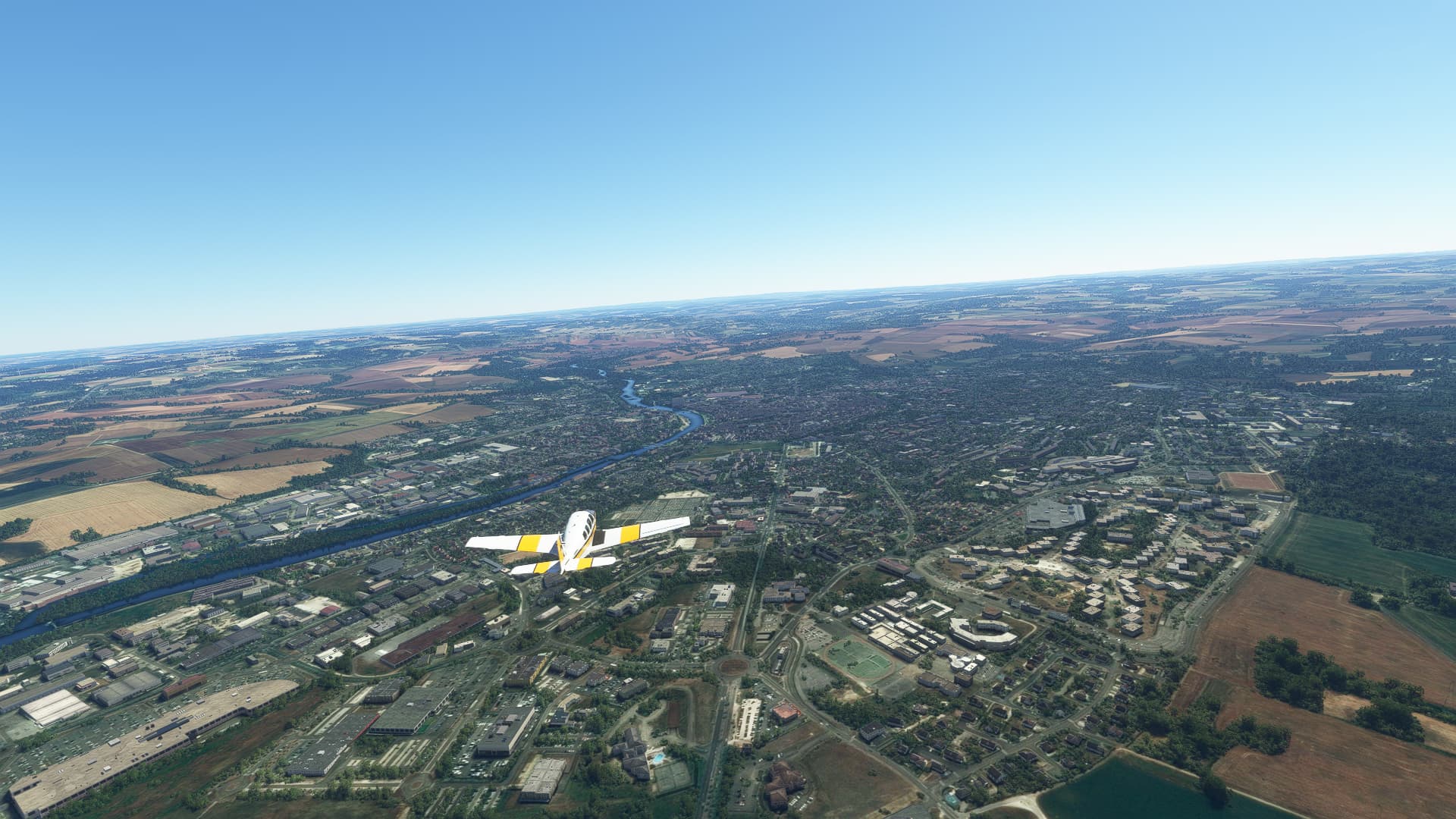
Approaching Paris-Piaget Airport. This looks way more badass than it actually was. A nice smooth landing on a concrete runway! A nice change to my usual landing strips.
Small fact:
Did you know that the first speeding ticket in English history was issued in East Peckham (1)? Walter Arnold was caught at a breakneck speed of 8 mph by a bicycle cop and fined for exceeding the official speed limits of 2 mph.
002: Paris-Plage (LFAT) → Paris-Orly (LFPO).
POI’s:
While it sounds a bit weird I can assure you that the “Paris” in our departure airport’s name has not much to do with the French capital, which I picked as today’s destination! Therefore we flew from Paris to Paris, taking about 42 minutes and crossing most of Northern France, starting with this small village called Merlimont.
I try to play a bit with different camera angles to see if I might get some interesting experimental shots - like this diagonal one of Abbeville on the Somme Estuary.
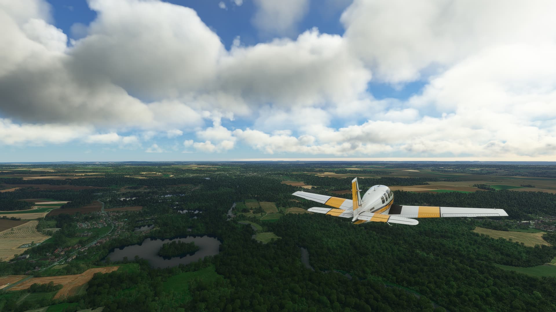
I really liked this little lake with a small island inside of it so I took a shot. The village to the left is called Saint-Félix.
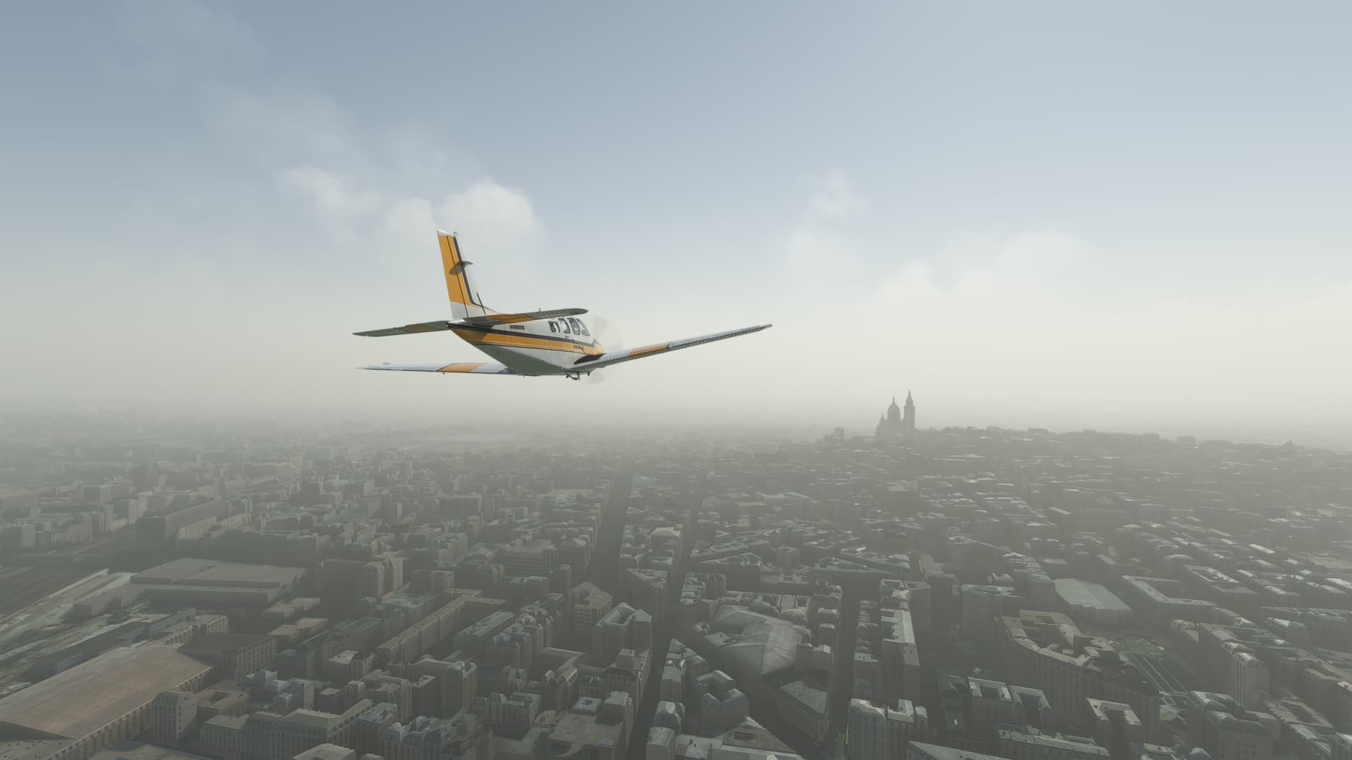
Somehow Paris is always covered in fog when I go there and somehow this always leads to atmospheric shots like this one of Sacré-Cœur de Montmartre. Although it made my approach to Orly a bit shaky since I couldn’t see the runway that well.
Small fact:
Did you know that the Basilica Sacré-Cœur de Montmartre (lit. “Basilica of the Holy Heart in Montmartre”) is not a true “basilica”? While a “basilica” refers most of the time to the iconic Roman public hall that was used as a base for most Western church layouts, the word “basilica” in Sacré-Cœur’s name comes from the title of “basilica minor”, a clerical title for a church of especially high rank.
Paris-Orly (LFPO) → Challanges (LFGF).
POI’s:
Camera angles are a nice thing to play with - doesn’t it seem as if the plane is still climbing? Anyways, this (first) shot was taken not long after leaving Paris near Montereau-Fault-Yonne (lit. “Montereau at the Yonne Estuary”).
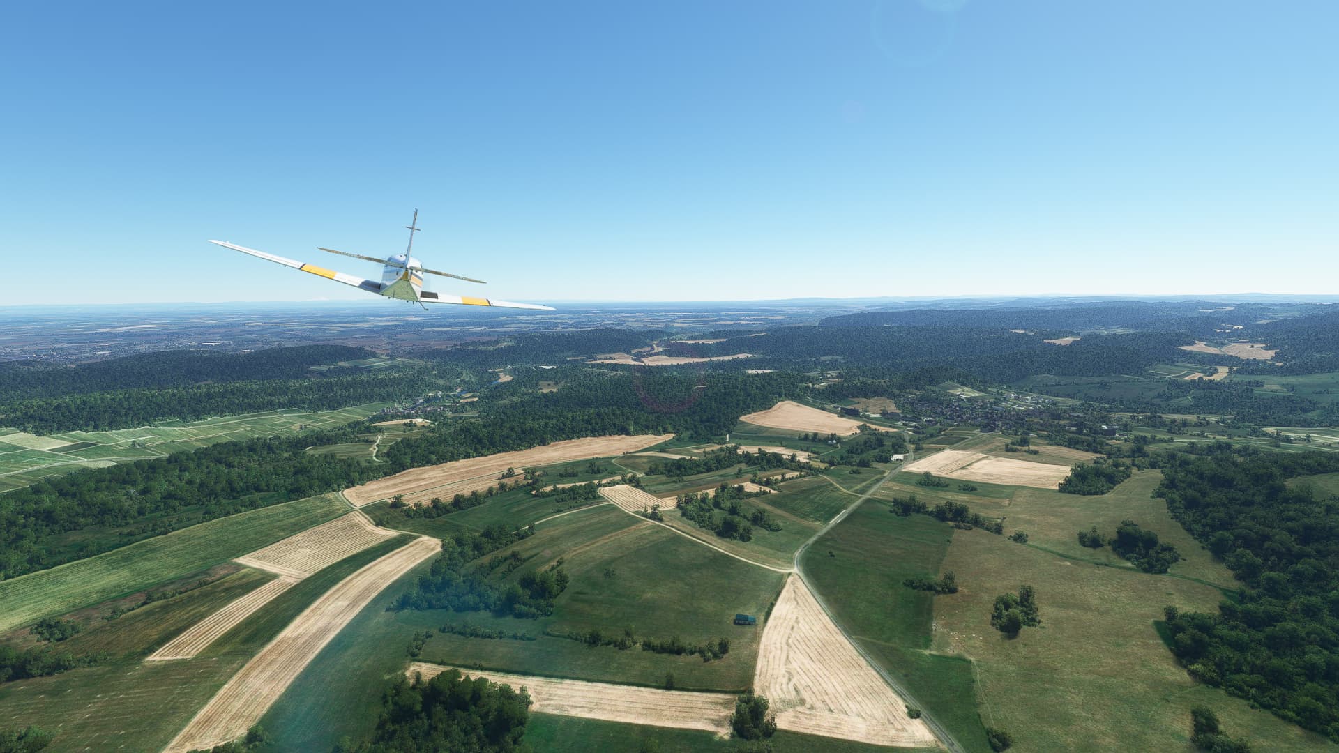
As our trip took us across mostly rural areas in Central France there weren’t a lot of towns or cities to look at, mostly fields and forests. An exception was Auxerre in the Bourgogne-Franche-Comté region of France.
To give you a good impression of the beautiful-yet-uniform terrain we had to cross I took a shot near our destination airfield of Challanges. The small village to the right is called Meloisey and it even has its own Wikipedia page, stating that it is home to a 12th century church!
Small fact:
Did you know that Montereau-Fault-Yonne played an infamous part in the 15th century civil war between the Armagnac and Burgundian factions in France? John the Fearless, Duke of Burgundy was lured under the pretense of a parlay onto the local Seine bridge, where the companions of the French king literally stabbed him in the back.
Great pics. Loving the factoids! Keep 'em coming!
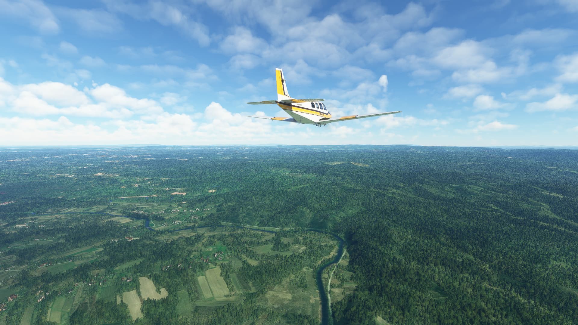
I find myself in my Bonanza more than any other plane in my hanger. It’s definitely one of the most relaxing planes to fly.
Thank you!
I can totally understand loving the Bonanza! It was one of the first planes I learned to fly and in which I made my first multi-leg trip from Germany all the way to India (although I had to learn the hard way that you have to switch fuel tanks in some planes…)
004: Challanges (LFGF) → Geneve (LSGG).
POI’s:
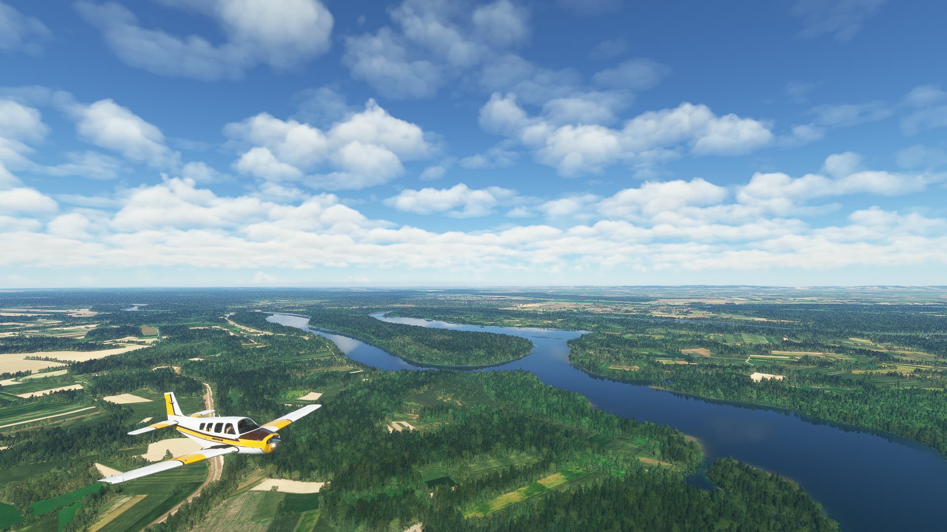
Unfortunately this was a pretty short flight as I was constantly struggling with my headtracking gear. Despite this it was still a nice little trip, starting Eastern France with the crossing of both Saône and Doubs Rivers.
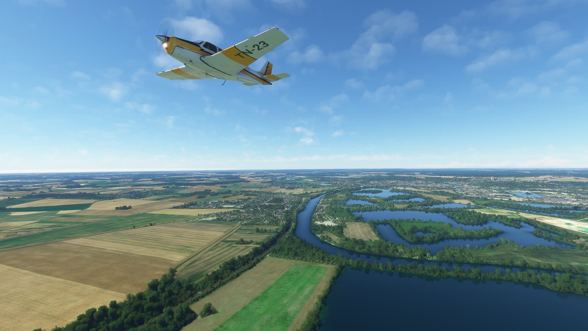
Closing in on the Alps and already within the Jura Mountains I found this beautiful lake near Doucier, which is called the “Lac de Chalain”.
Sometimes random discoveries can be the most impressive! I was struggling (again) with my headtracker and wiggled it loose from its frozen position and what did I see? The valley commune of Hauts de Bienne, nestled within the Jura Mountains!
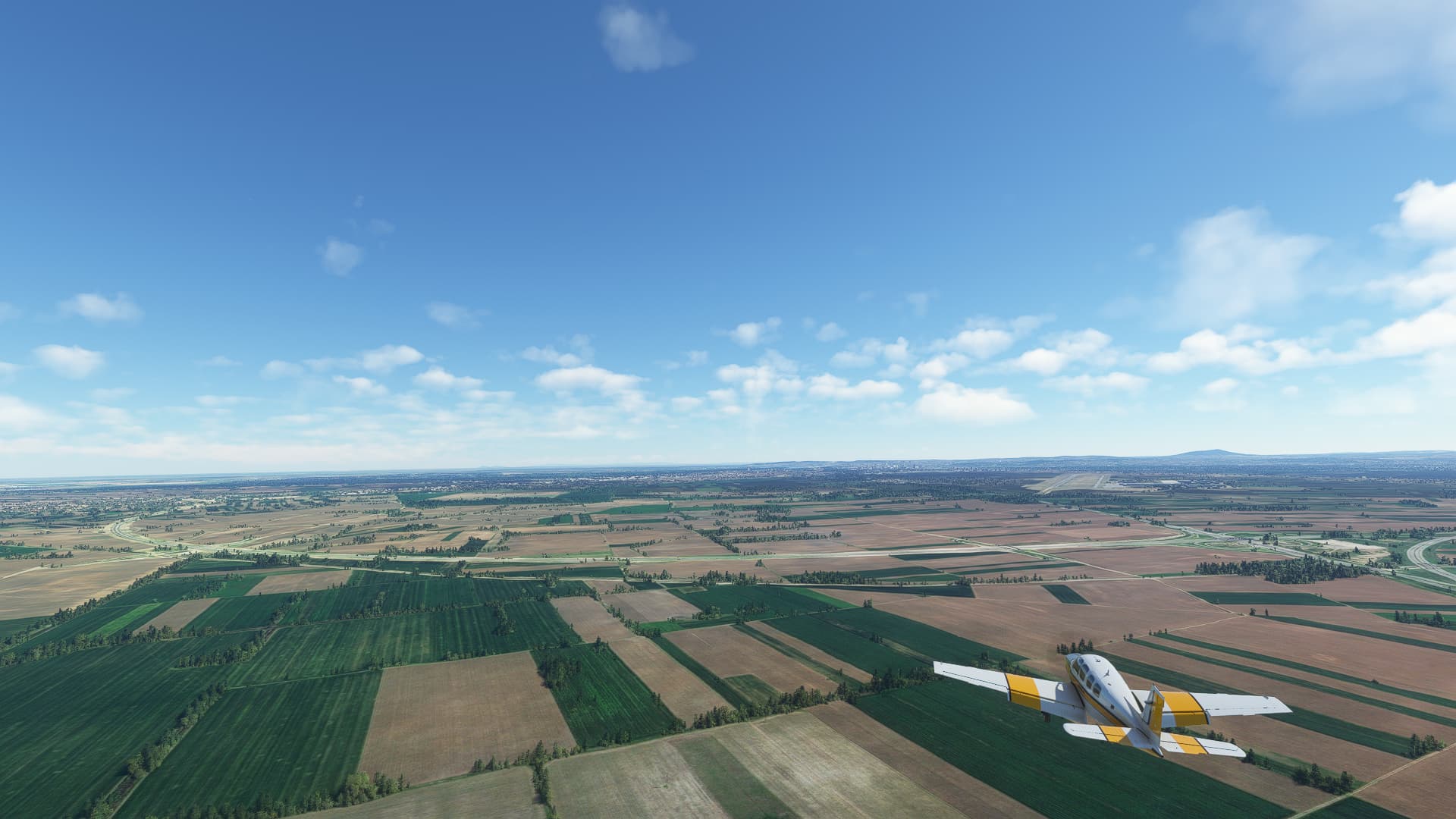
Deciding to cut this flight short I turned in above Lake Geneva, crossed the city of Genf / Geneve / Geneva in its entirety and landed at the busy airport on its western side.
Small fact: Did you know that a burned-down absinthe factory led to an important hydrological discovery near Montarlier? After the distillery burned down in 1901 a great volume of Absinthe entered the Doubs in Montarlier. A few days later the water of Loue River began to taste like anis. After an investigation it was proven that water from the Doubs River seep away near Montarlier and enters the groundwater supply which feeds the spring of Loue River.
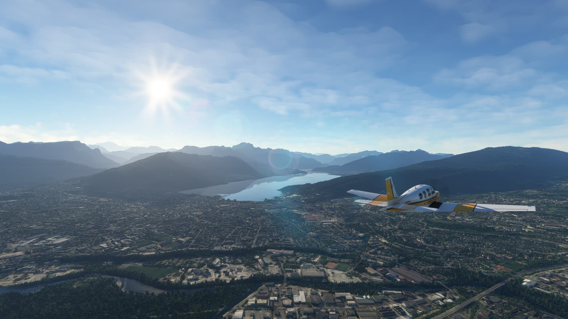
005: Geneve (LSGG) → Tallard (LFNA).
POI’s:
After fixing my technical issues I could continue my trip across France, reentering the country near Geneva and arriving in Annecy as the first major city of this leg.
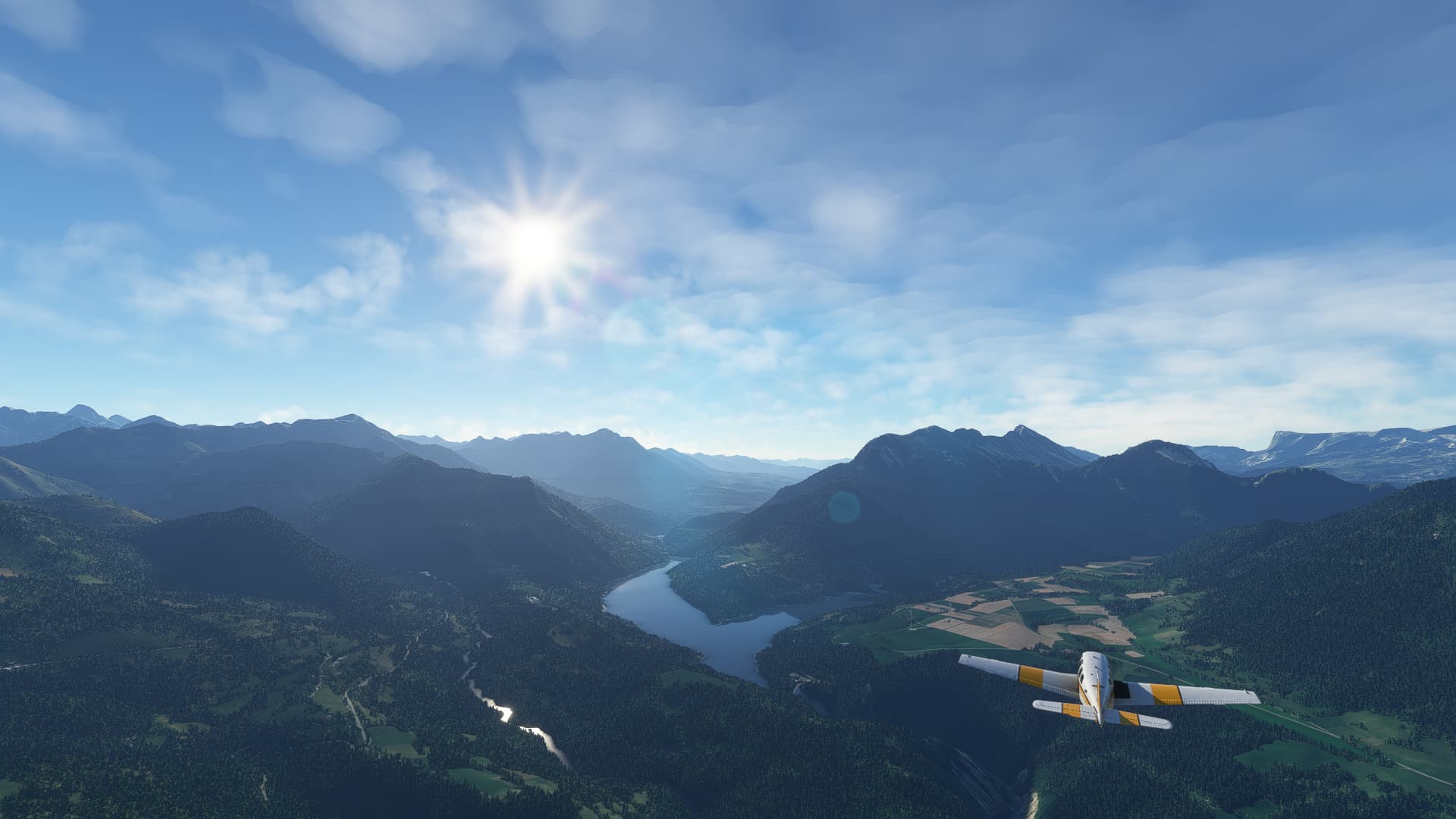
Next up was Grenoble. Due to my unwillingness to circumvent several larger mountain ranges I had to learn how rough the terrain in this part of France truly is. Up and down and up and down…
Leaving the larger cities behind me I crossed the Drac River near Quet-en-Beaumont, where it is dammed into a reservoir, the Lac du Sautet.
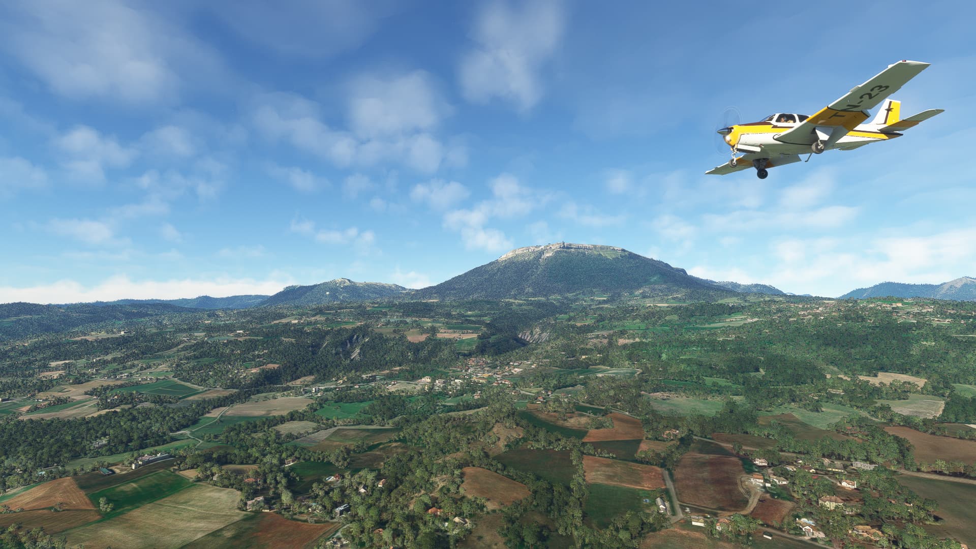
After a lot of aerial mountaineering we arrived in Tallard near the city of Gap with this scenic view of the Pic de Ceuse.
Small fact:
Did you know that Grenoble has some of France’s best preserved forts from the 19th century? After the Franco-Prussian War of 1870/71 multiple forts were constructed to lock down the entire Isere Valley in case of invasion. They were never attacked by hostile forces and are therefore still intact today.
006: Tallard (LFNA) → Nice (LFMN).
POI’s:
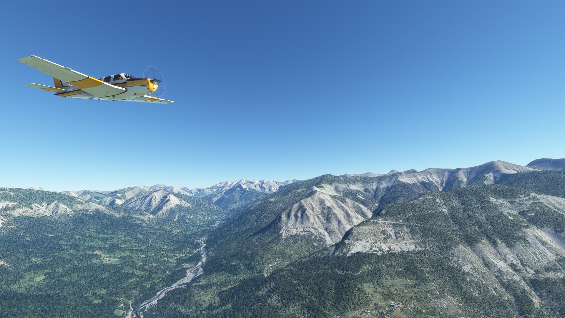
Sometimes it is nice to have roads or railroad tracks or even rivers to use as orientation marks. But sometimes you have to switch things up and fly cross-country, dodging peaks and climbing across mountain ranges to reach your destination. Therefore I went cross-country from Tallard, soon spotting the Lac de Serre-Ponçon in the far distance.
As this region of France is sparsely populated you’ll find many national parks here. For the first part of my southeasterly flight I was skirting the western borders of the Parc national du Mercantour.
After playing around with the free camera I just had to take this shot of the village of Entrevaux, upon which I stumbled completely by accident. My LNM was zoomed so far out that it didn’t even show me any settlements between Gap and Vence.
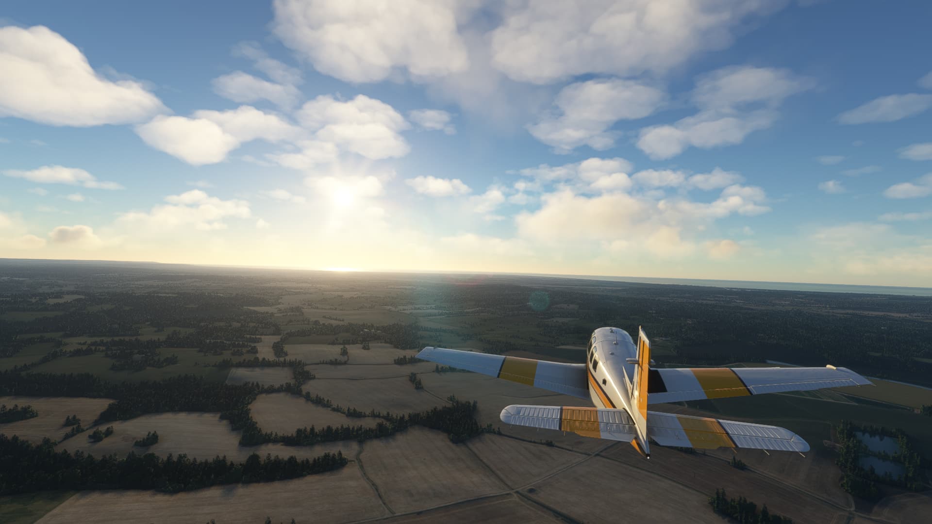
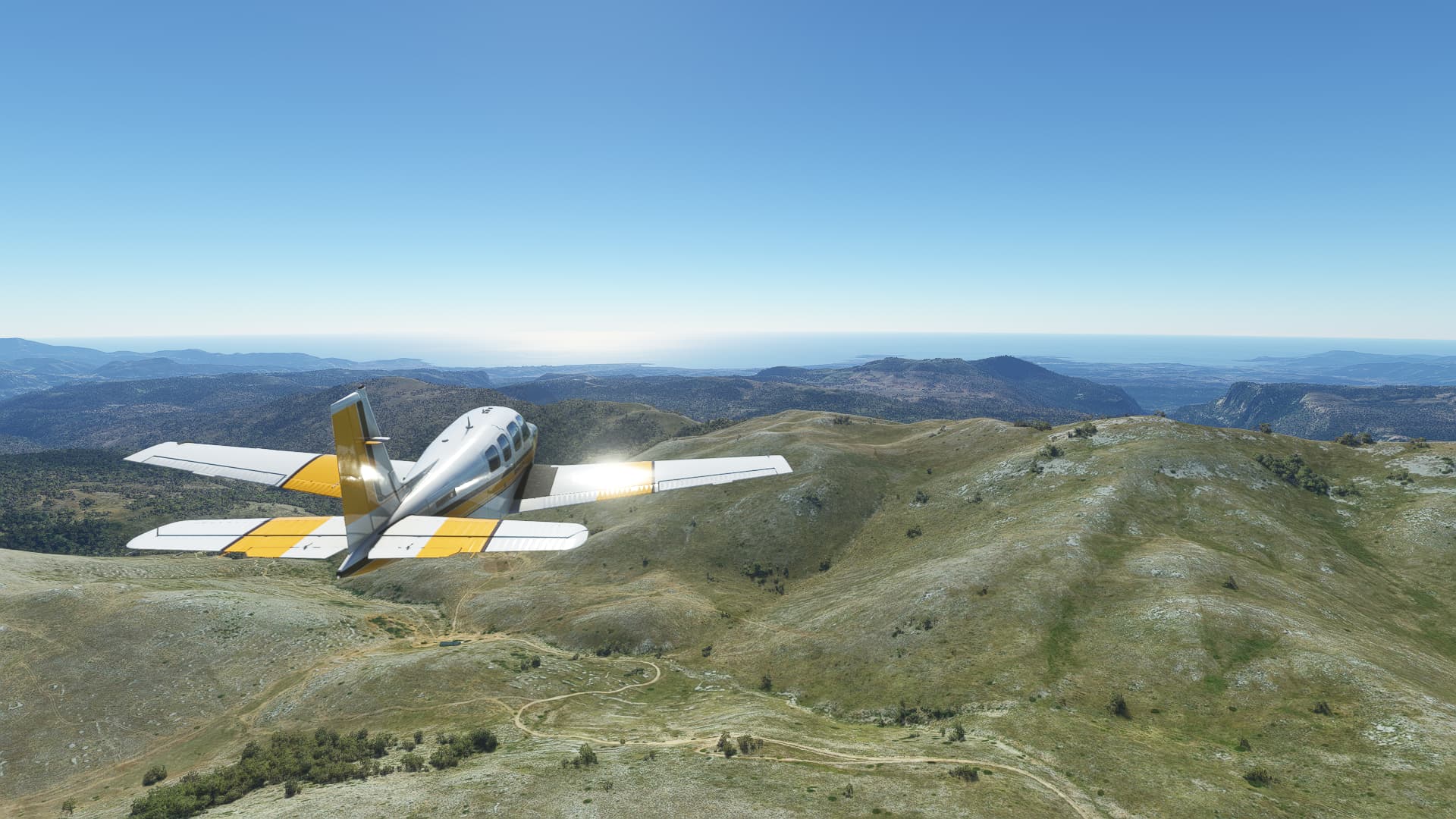
Finally, after crossing the entirety of France and a brief excursion to Switzerland, I found our way back to the sea - although the Mediterranean Sea instead of the English Channel. This one was taken above Le Haut Cheiron.
After descending from about 6500ft and leaving the mountains behind me I prepared to land at Nice, finishing with this scenic shot of the Baie de Anges as seen from Cagnes-sur-Mer.
Short fact:
Did you know that the small mountain village of Entrevaux was once a fairly imporant fortification, defending the southeastern borders of France? A citadel was constructed in 1690 which survived not only a Savoyard siege in the 18th century but also served as a prison camp for German POV’s during the First World War after which it was abandoned. Why here? Because the area around NIce only joined France in 1860 so for the most part of modern history Entrevaux was very close to the borders of the Kingdom / Republic itself.
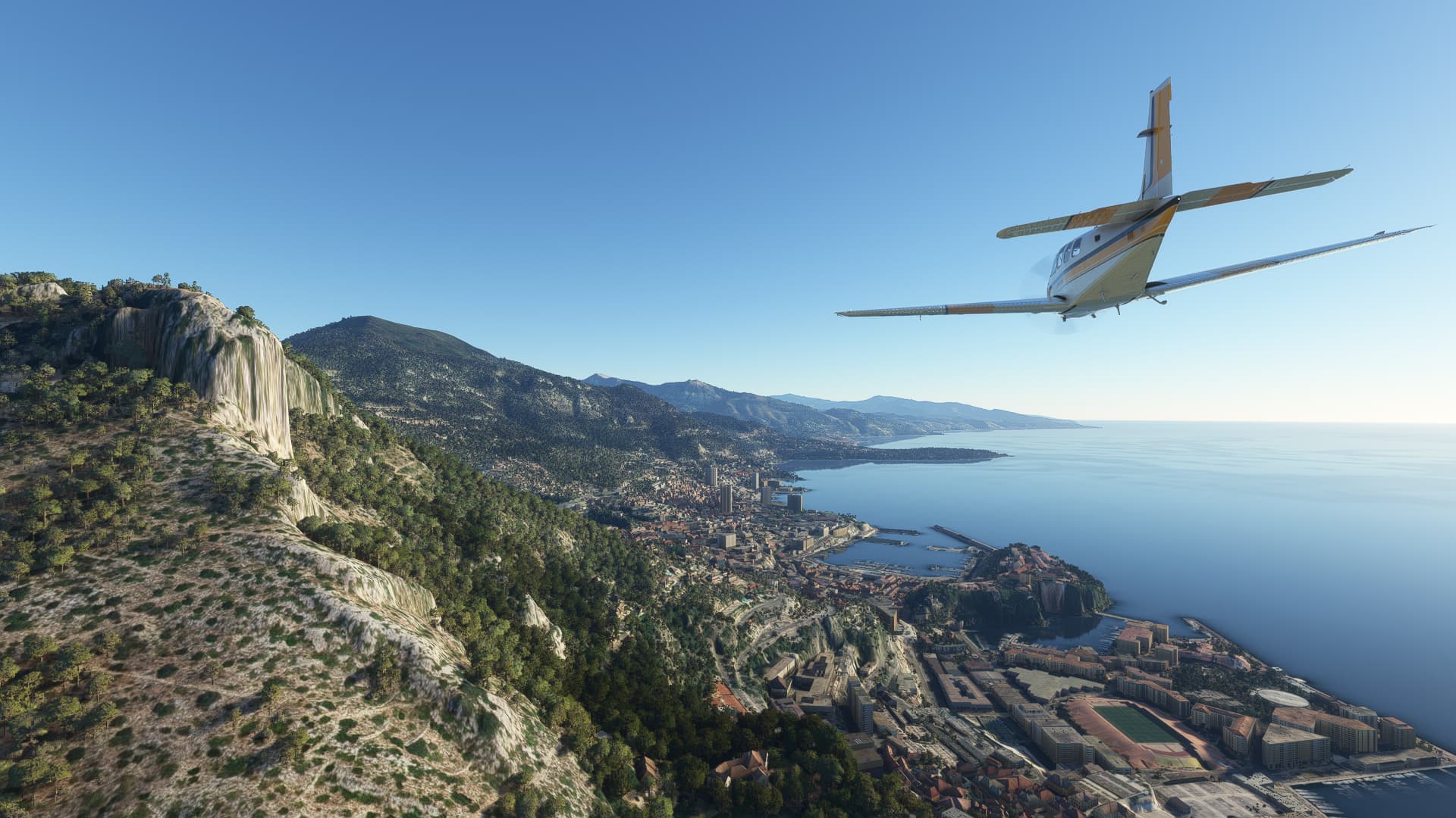
007: Nice (LFMN) → Parma (LIMP).
POI’s:
After such a long time it is finally time to leave France! Following the coastline east I came across the tiny Principality of Monaco, nestled into the seaside mountains.
At Bordighera I spotted two very prominent viaducts of the Autostrada dei Fiori, the “Highway of Flowers”. As the terrain is pretty rugged and hilly many of these bridges are used to cross the larger valleys.
At Albenga I crossed the Centa River while experimenting a bit with different camera angles. I think it turned out quite nicely!
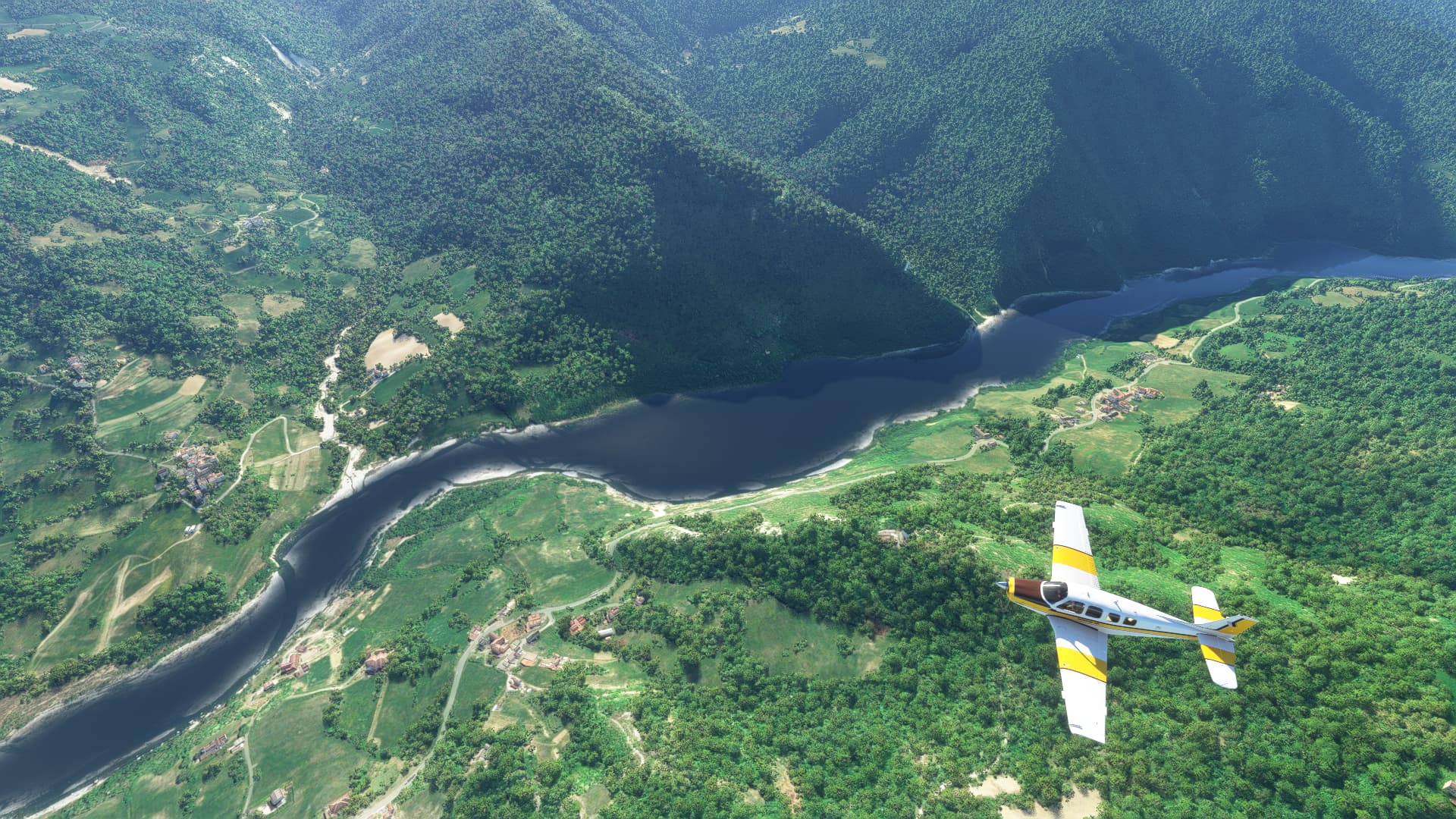
Further north I passed the city of Savona and would soon reach Genoa, which I originally designated as this leg’s destination. As I got there much faster than I thought I continued further inlands, crossing the mountains towards the Padan Plain.
Within the Appenin Mountains I came across the Nure River near Bettola. Not much to tell, just another shot that fitted my mood back then.
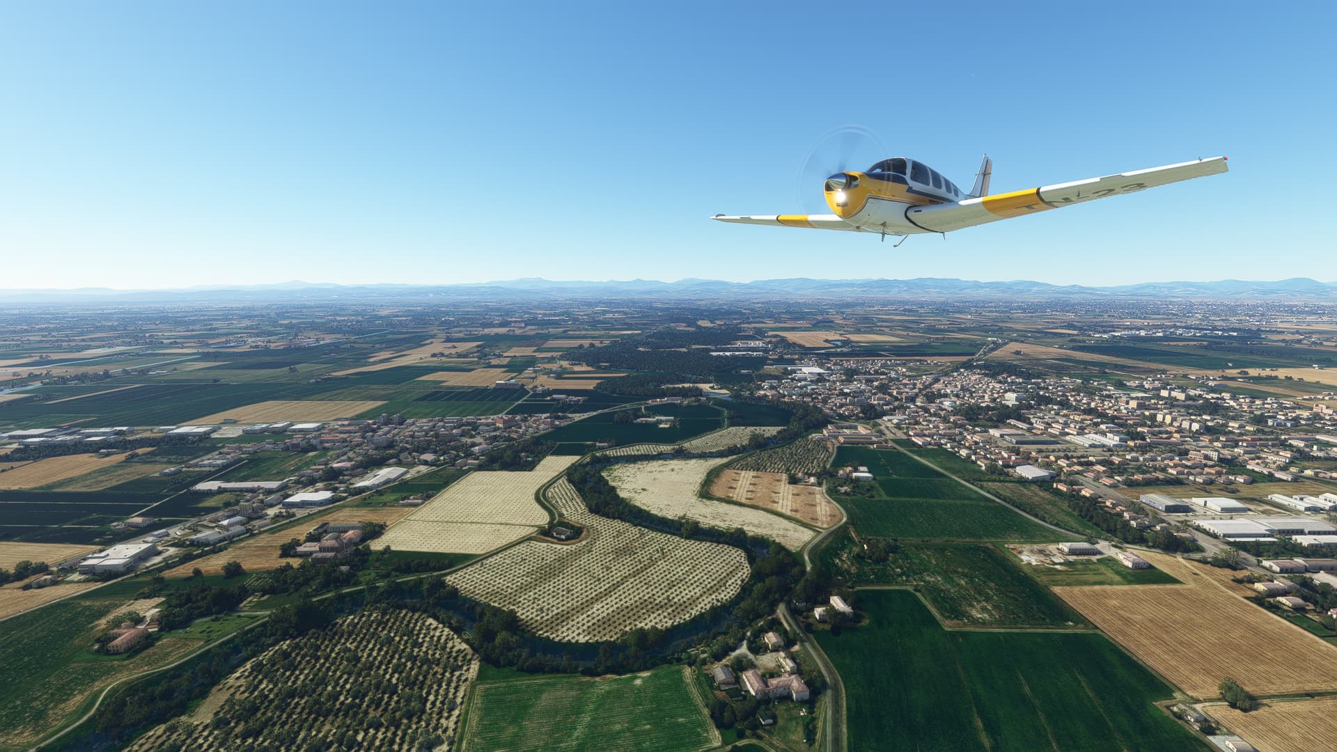
After reaching the Padan Plain I dropped down to a better sightseeing altitude and went for Padua as my new destination airport. This shot was taken shortly before landing while crossing the Taro River at Noceto.
Short Fact:
Did you know that the last known surviving veteran of World War 1 was born in Bettola on Nure River? Lazare Ponticelli was a member of the Italian Army during the war despite spending most of his youth in France. After the war he returned, became a French citizen and was an active resistance member during the Second World War. He died in 2008.
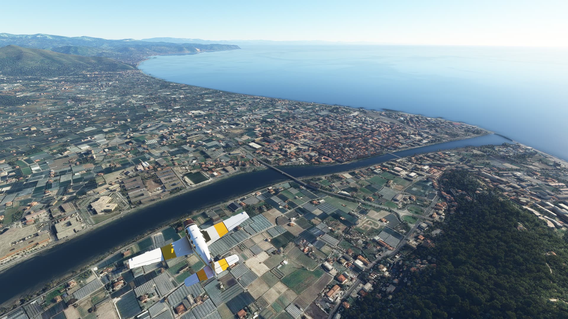
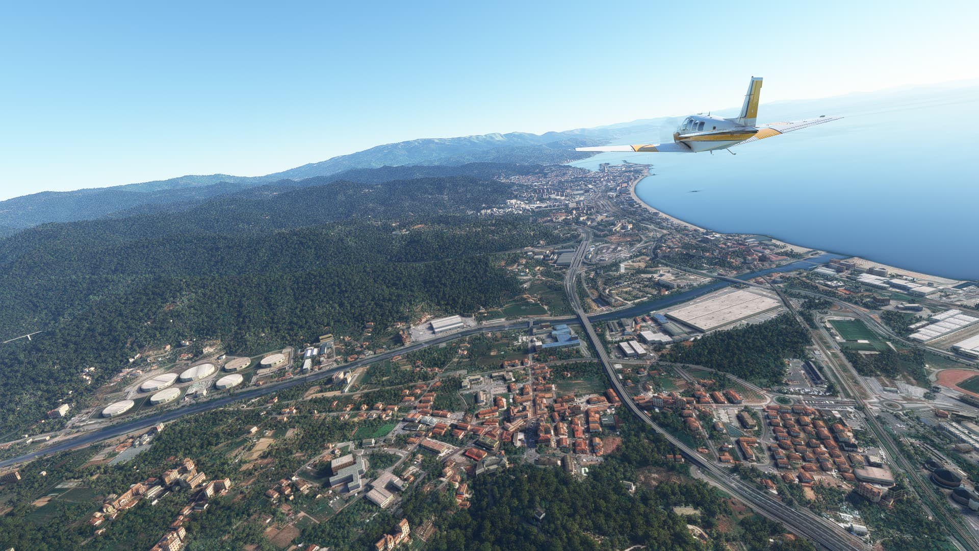
008: Parma (LIMP) → Portorož (LJPZ).
POI’s:
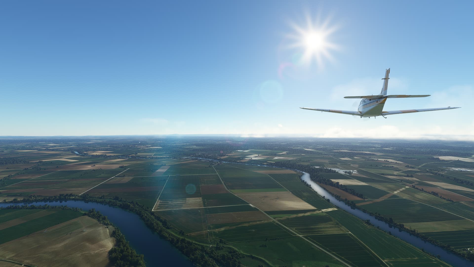
This was simultaneously a very good sightseeing flight and an utter failure flight - you see the reason a bit further down in this post. Well, it started great with clear skies above Sorbolo to the northeast of Parma.
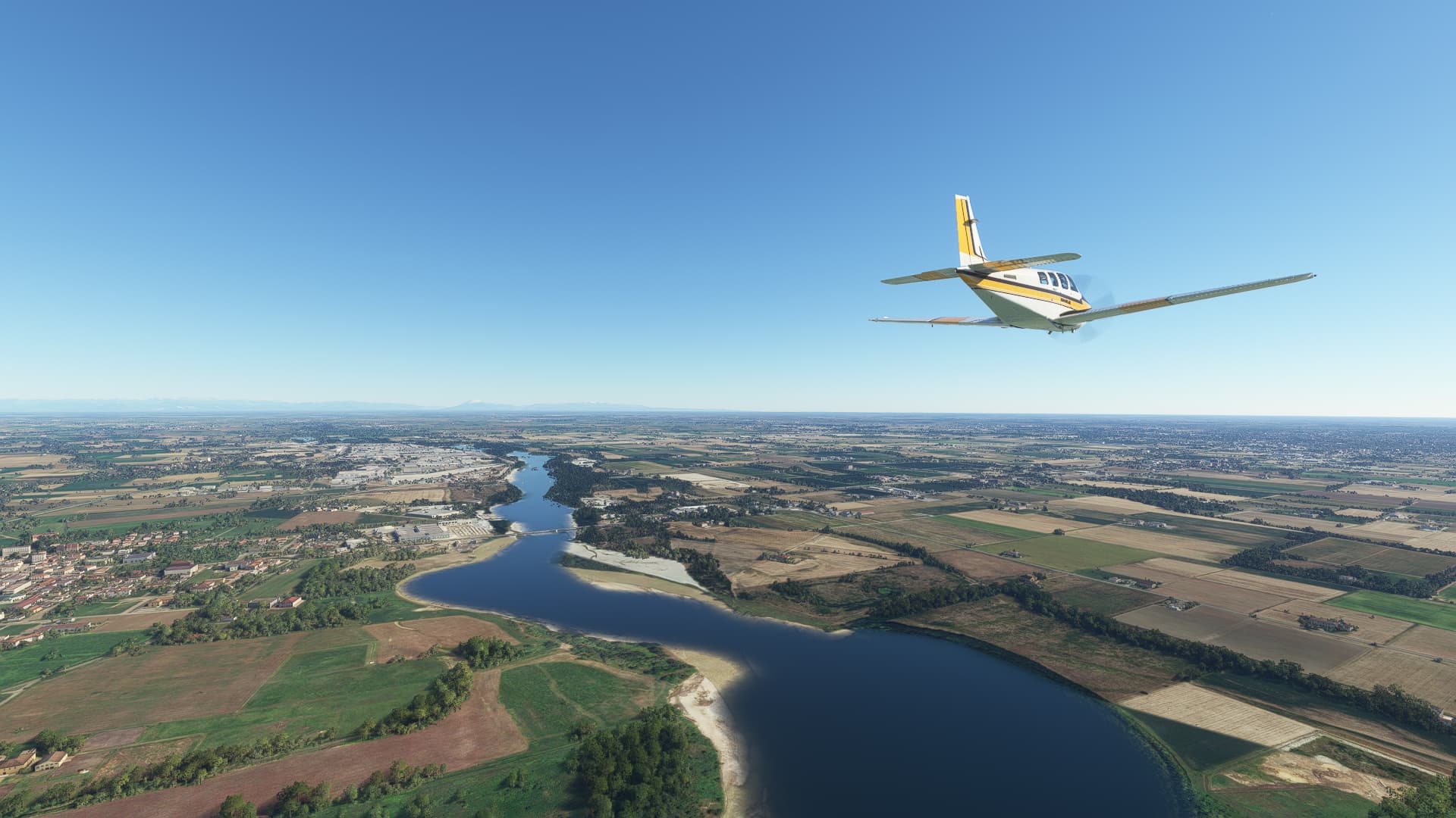
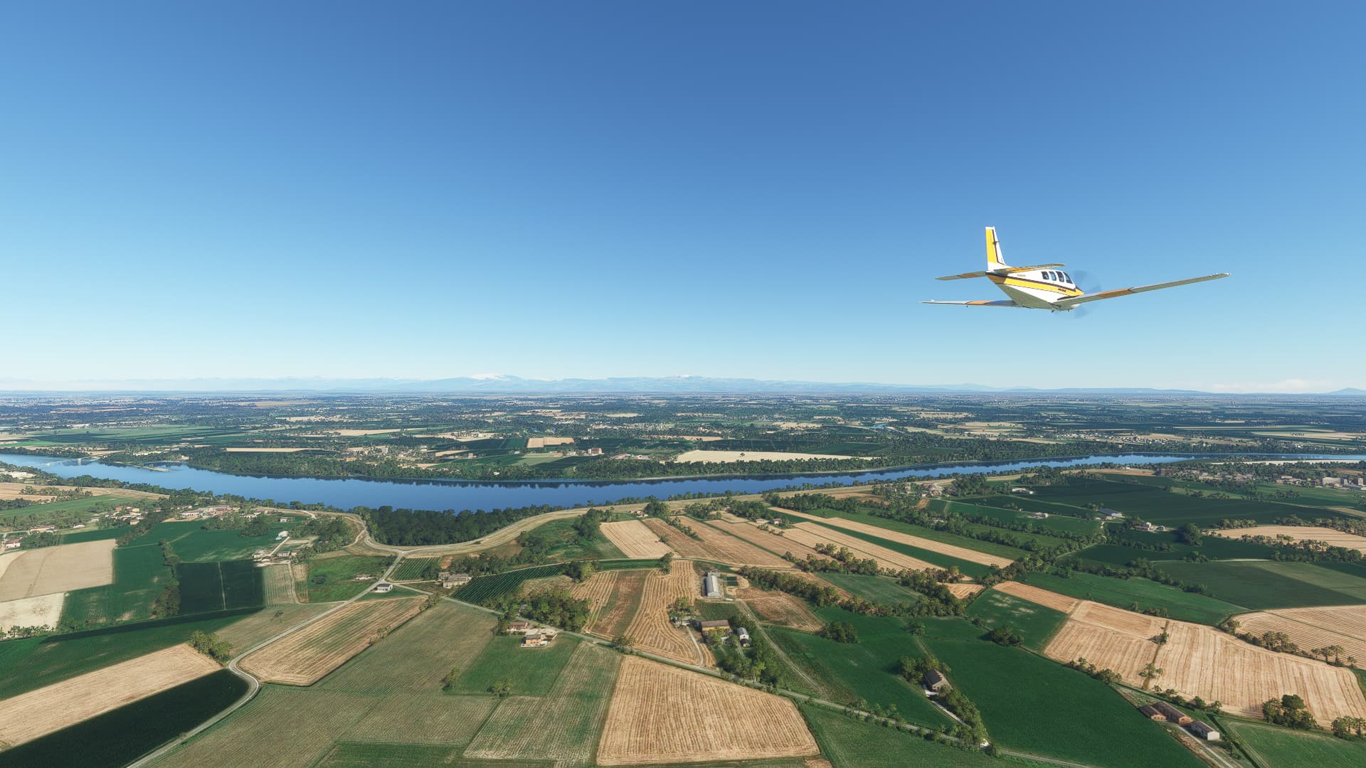
The next major landmark was the Po River which I crossed east of Mantova near Brede. A commonality between most pictures taken on this flight are the ever-present Alps in the distance.
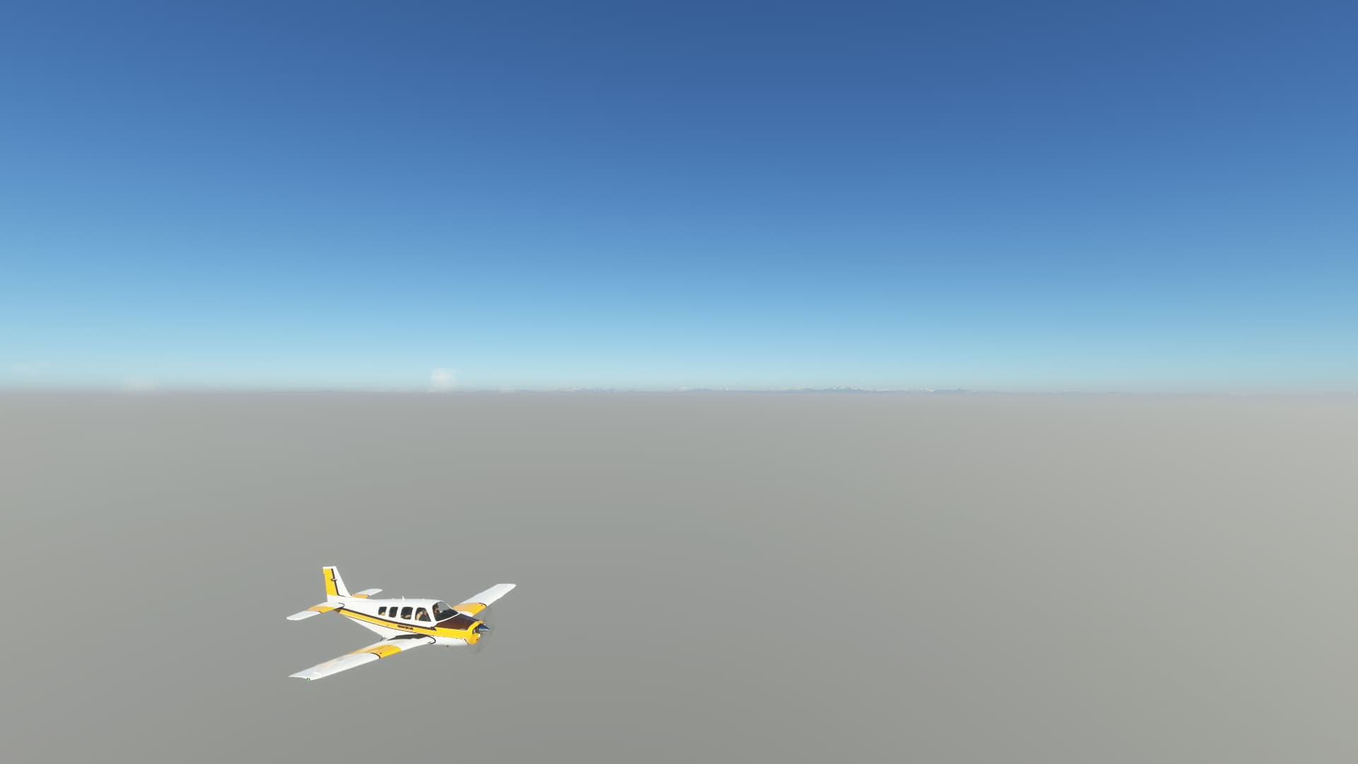
Now you might guess why I call this flight partially an utter failure: Closing in on Padova and the Adriatic Coast a thick fog appeared, here seen from Conselve to the south of Padova.
And there we have it - a most beautiful and breathtaking shot of Venezia, don’t you think? Yes, the main goal of this specific leg, taking a picture of the beautiful city of Venice, was a complete failure due to the fog. But at least we’ve got the Alps way back in the distance…
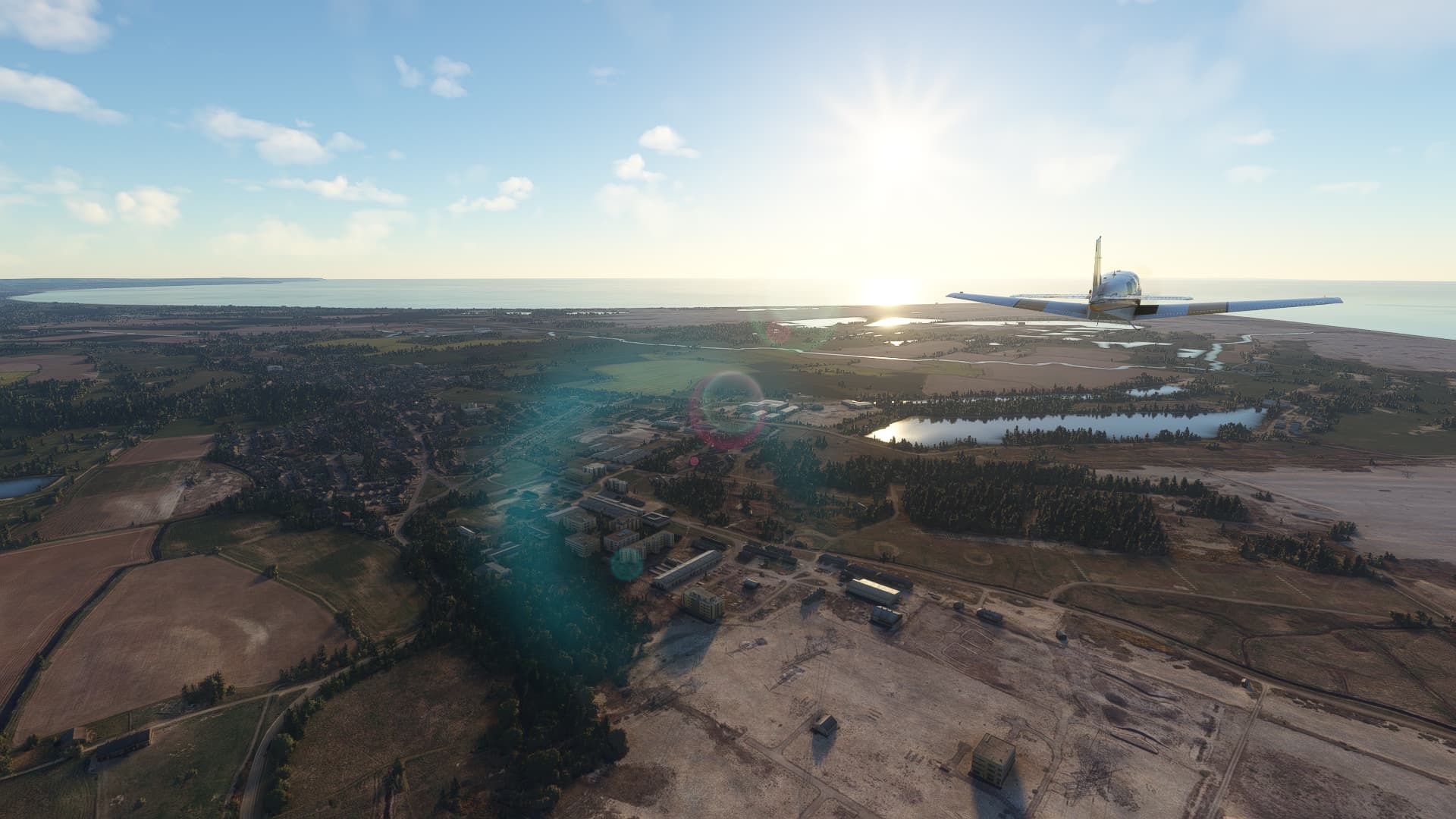
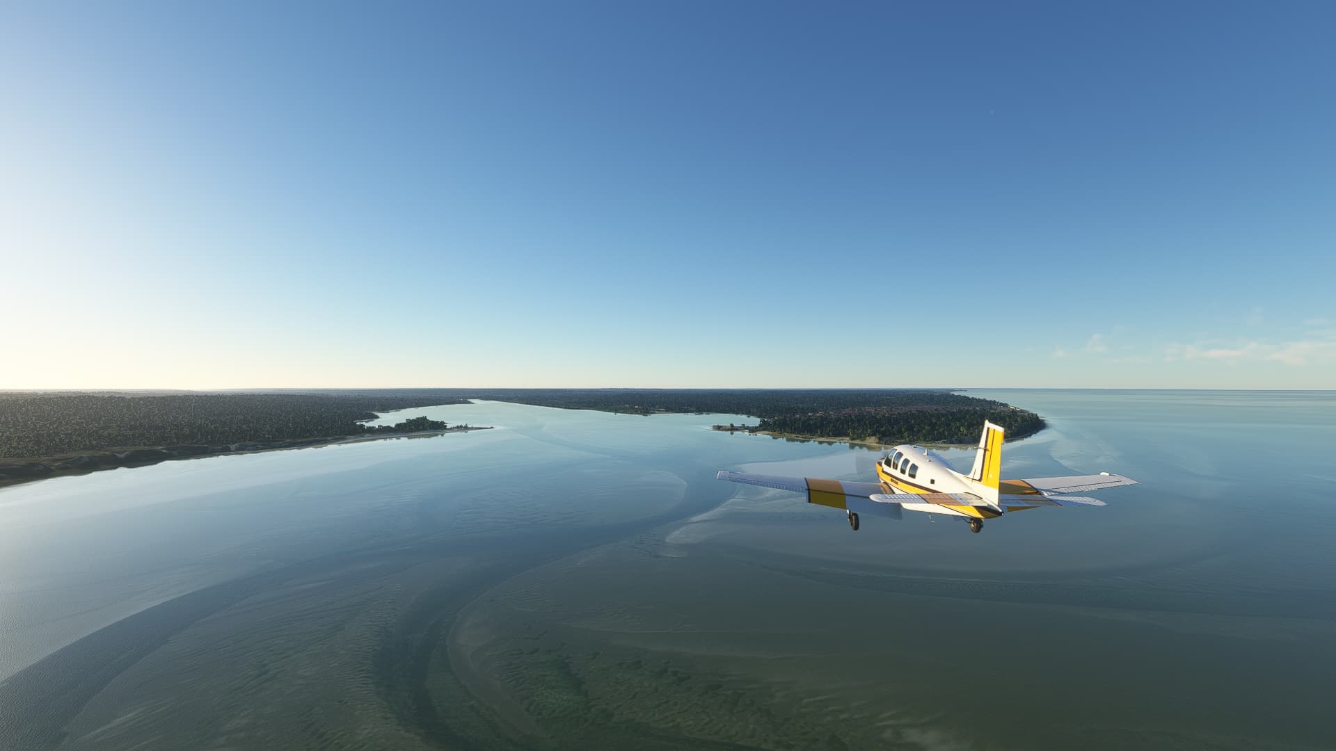
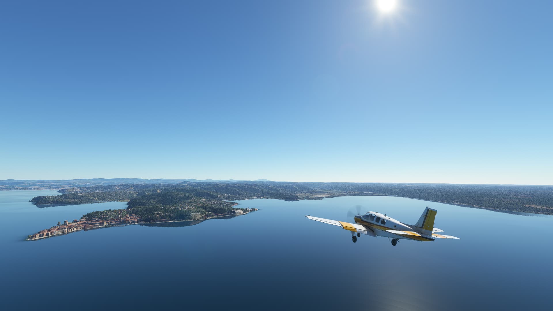
Just to rub it in the fog disappeared as soon as I ccleared the Adriatic Coast of Italy. Once I reached Istria it was completely gone, so I could at least take some nice shots of my approach to Portorož, like this one of Piran.
Entering the bay and passing Portorož itself I landed a few kilometers away from the Croatian border on Portorož Airport.
Small fact:
Did you know that Portorož (as part of the city of Piran) is part of a disputed territory? After the dissolution of Yugoslavia both Slovenia and Croatia claim this part of Istria as their own and even an EU ruling in 2017 could not end the conflict between both countries.
009: Portorož (LJPZ) → Prijedor (LQPD).
POI’s:
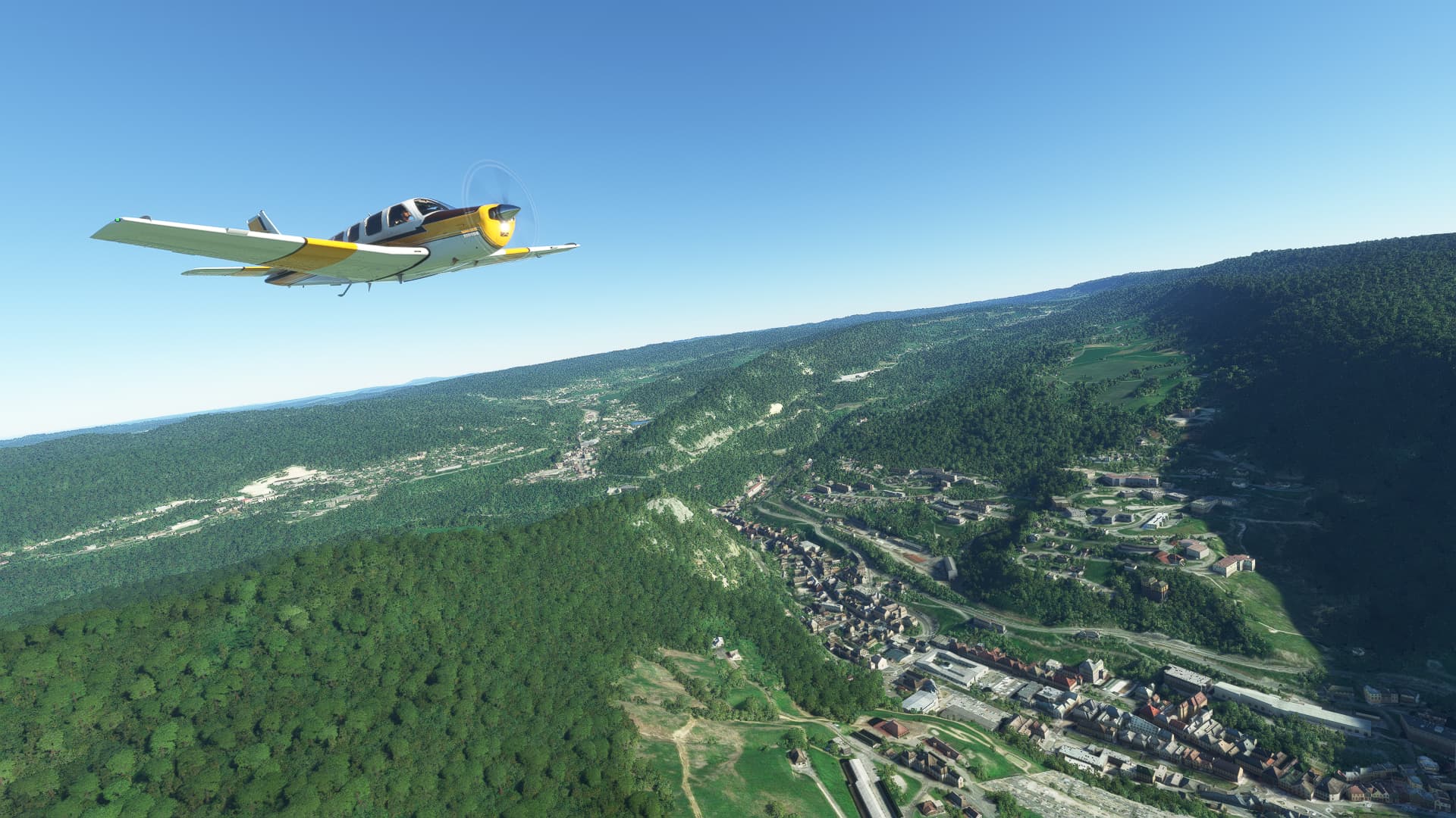
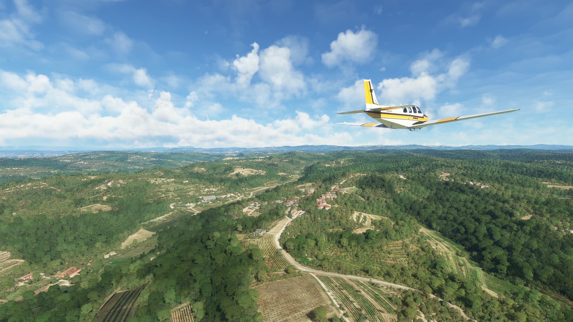
After pausing yesterday for the holiday I am back: With an utterly exhausting flight! It began with a steep climb out of the valley Portorož is located in due to a somewhat “quirky” position of their airport. My first shot was taken soon after, at the village of Momjan.
Mark that I called the flight exhausting, not difficult as it was quite normal except for a 25kn headwind that always shifted with me whenever I adjusted my heading. I started to notice it near the Riječki Zaljev (“Bay of Rijeka”) as I made my way east.
Climbing the next mountain range I came across the town of Delnice, where I began to follow Highway A6 for a while.
After a somewhat bouncy and shaky episode at 5000ft I left the mountains and the strong winds behind me. After dropping down to 2500ft and setting the northern part of Bosnia as my target area I crossed Glina River south of Velika Vranovina.
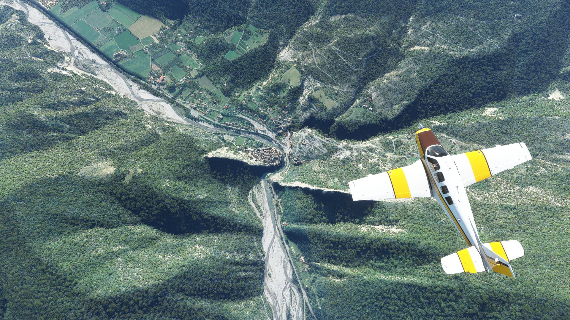
Almost at the Croatian-Bosnian border I passed the villages of Donji Javoranj and Sundaci with Una River - the border river - in my sights.
At last, I began my approach to the airfield at Prijedor, taking a last scenic shot of the town in front of me.
Small fact:
Did you know that the Una River is famous for it’s unique chalk formations? They form beautiful waterfalls and challenging rapids, turning most of the river into a paradise for wild water rafting adventures.
010: Prijedor (LQPD) → Belgrade (LYBE).
POI’s:
This isn’t just a picture of the Careva Gora woodlands, it is also symbolic for the first third of this leg: A lot of forests, some smaller hill ranges and very few settlements at all.
Here I crossed the Bosna River between Podnovlje in the north and Majevac in the south.
This large city to the right is Brčko. It is located on the southern bank of Sava River which serves as a border between Croatia and Bosnia-Herzegowina.
I did not leave Bosnia-Herzegowina at Brčko, but continued east towards the Serbian border, which I crossed at the Drina River near Balatun.
Passing Dobanovci I began my approach to Belgrade Airport.
Small fact:
Did you know that Brčko is the district capital of the Brčko District, which is an autonomous region between the autonomous Republic Srpska and the Federation of Bosnia and Herzegowina, the two main parts of Bosnia-Herzegowina. It belongs to both parts but is controlled by none, instead it is a special area under international protection. The district is therefore headed by both a locally elected mayor and an international advisor who wields extensive executive powers.
011: Belgrade (LYBE) → Kumaritsa (LB20).
POI’s:
Yesterday I did not fly over Belgrade as there weren’t any airfields on the eastern side of the city. Today I saw it at least in the distance as I crossed the Sava River south of the Serbian capital near Ostružnica.
What followed was a nice and calm flight across the Serbian countryside. A lot of fields, small rivers as well as a few villages here and there. This shot was taken just outside of Lanovo while approaching the Velika Morava River.
After following roughly the course of Highway A1 I diverted east near Niš to make my way towards the Bulgarian border. Directly below me you can see the village of Čamurlija.
I reached the border near Dimitrovgrad while crossing the valley of the Nišava River.
Entering the plateau on which the Bulgarian capital is located on I passed the town of Slivnitsa before landing at Kumaritsa Airfield northwest of Sofia itself.
Small fact:
Did you know that Emperor Constantine the Great was born in modern-day Niš? Back then it was called Naissus and served as one of the most important permanent military encampments of the Roman Empire on the Balkans. The later Emperor Constantius III. was born in Naissus, too.
Information: As I am currently moving to another city I had to cut the first route short and end it in Sofia. Don’t worry, I will continue flying and posting as soon as I settled into my new flat and job. I should be back in November!