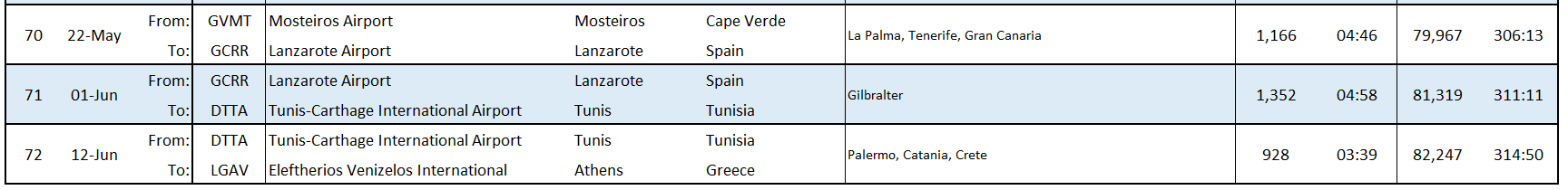
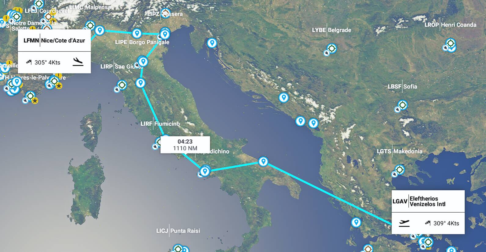
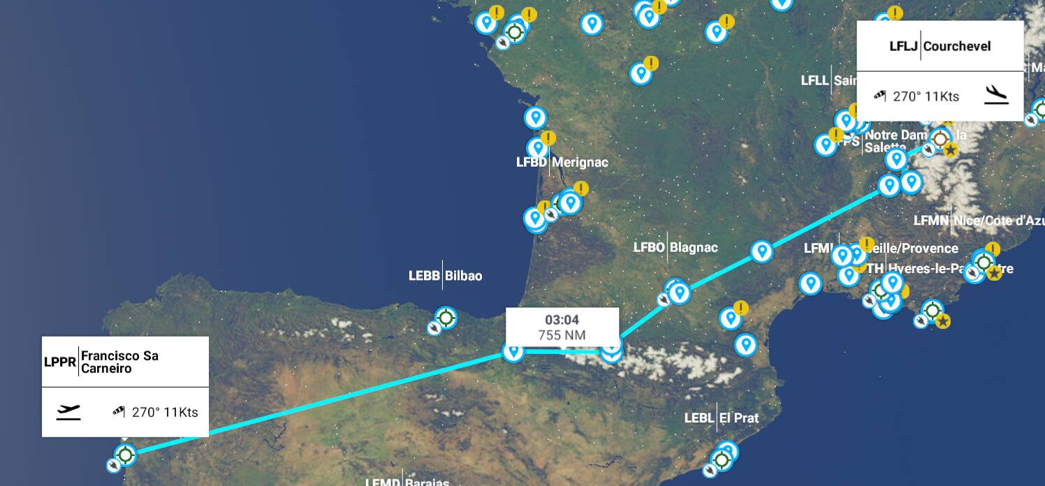
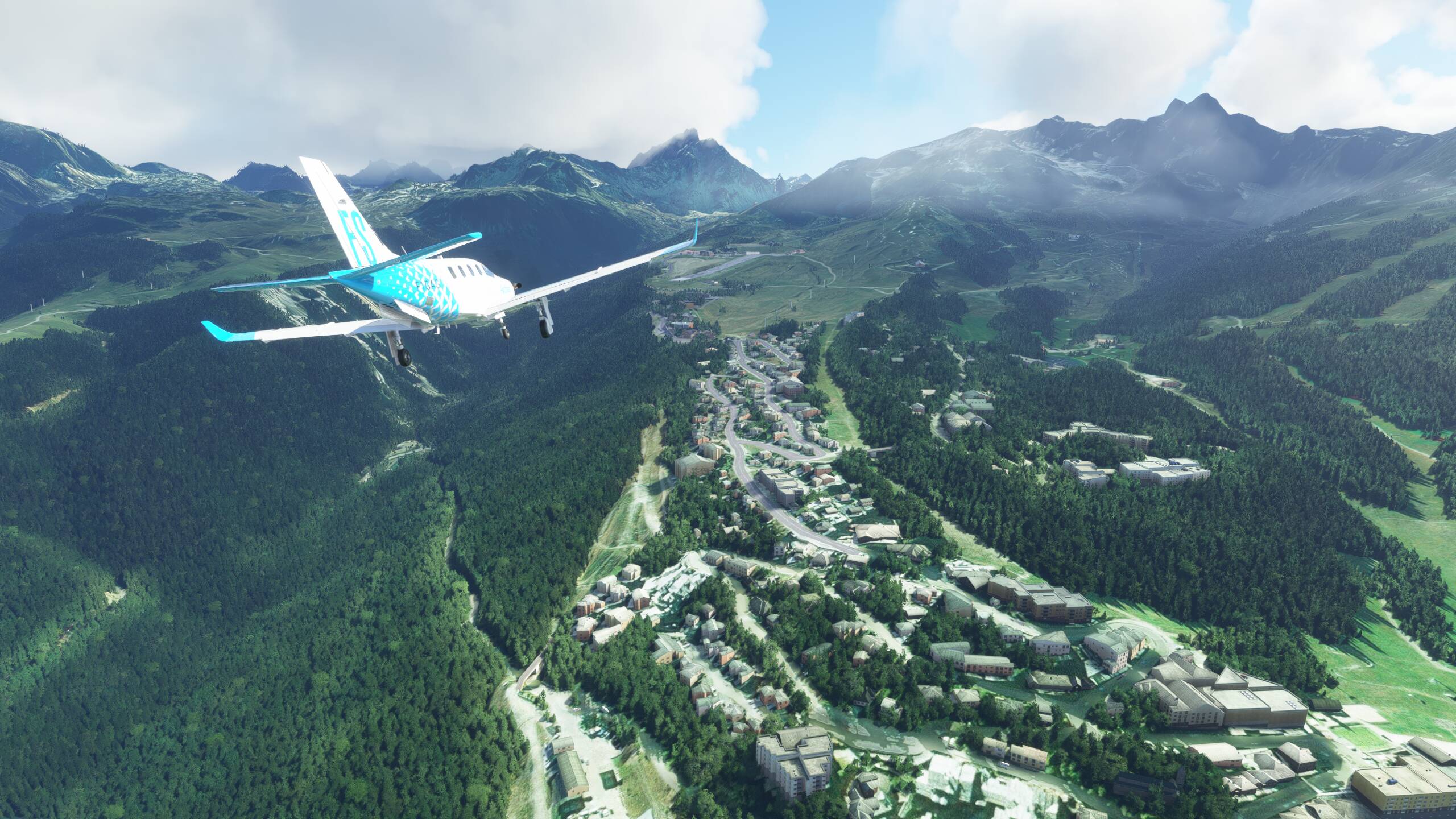
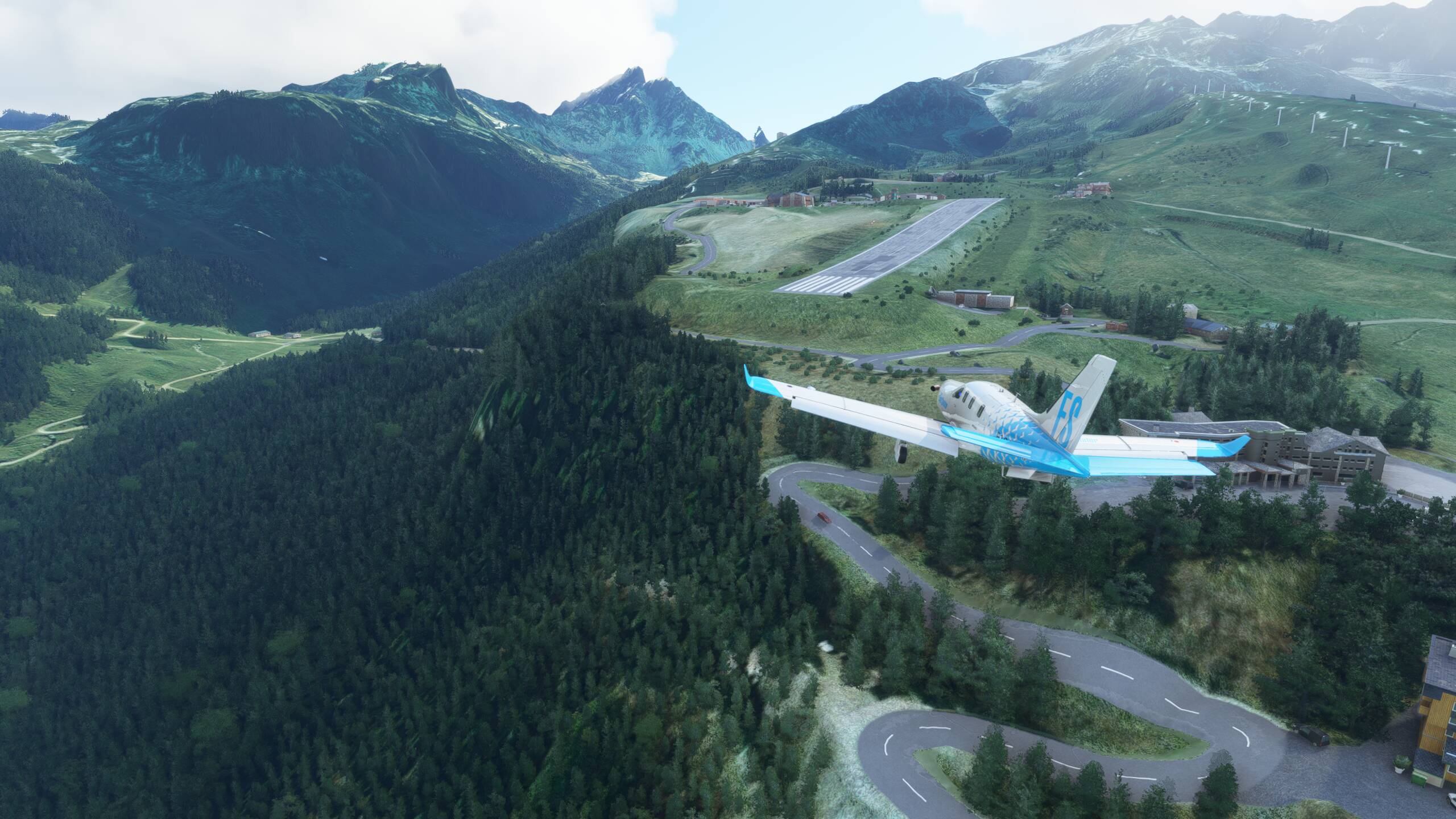
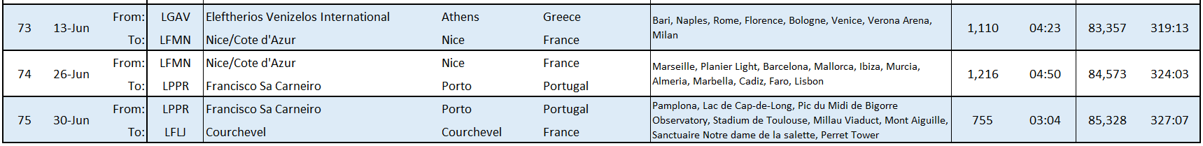
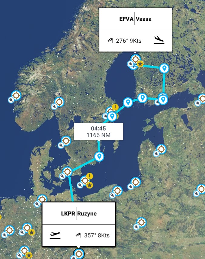
Leg 76 - Courchevel, France (LFLJ Courchevel) to Prague, Czech Republic (LKPR Ruzyne)
This leg: 635Nm, 2:43 flying time
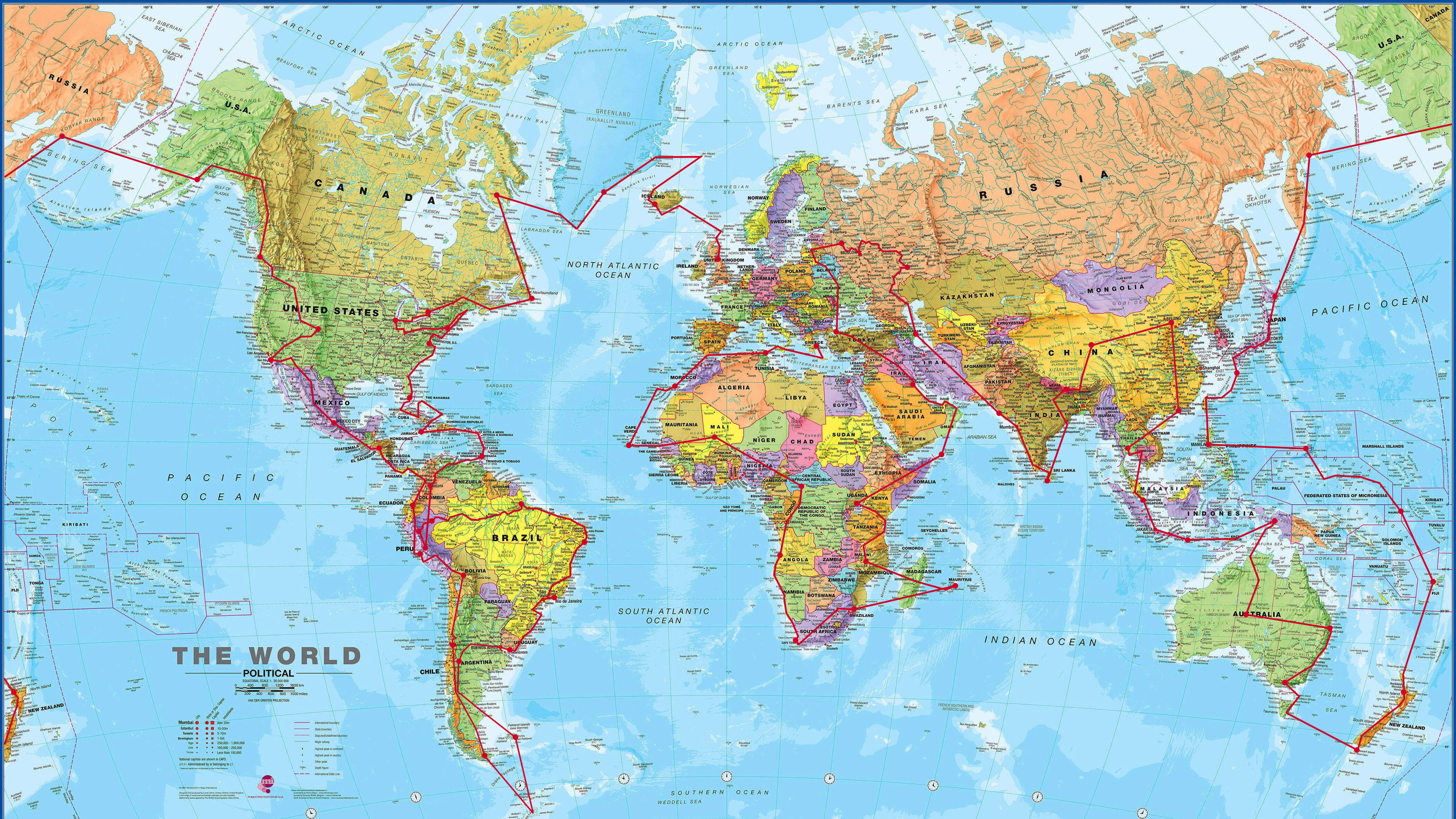
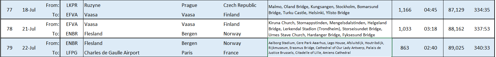
Total so far: 85,963Nm, 329:50 flying time
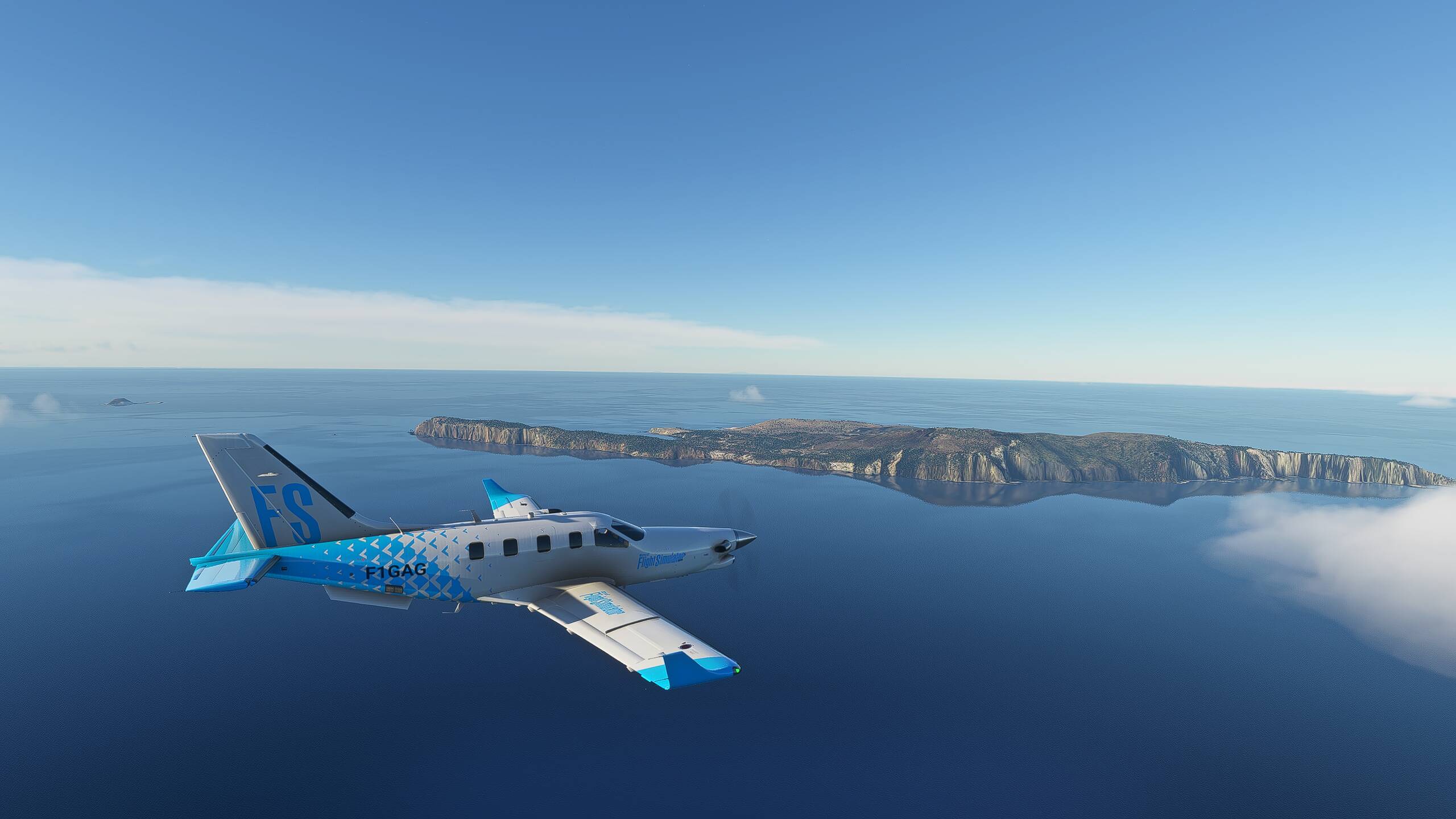
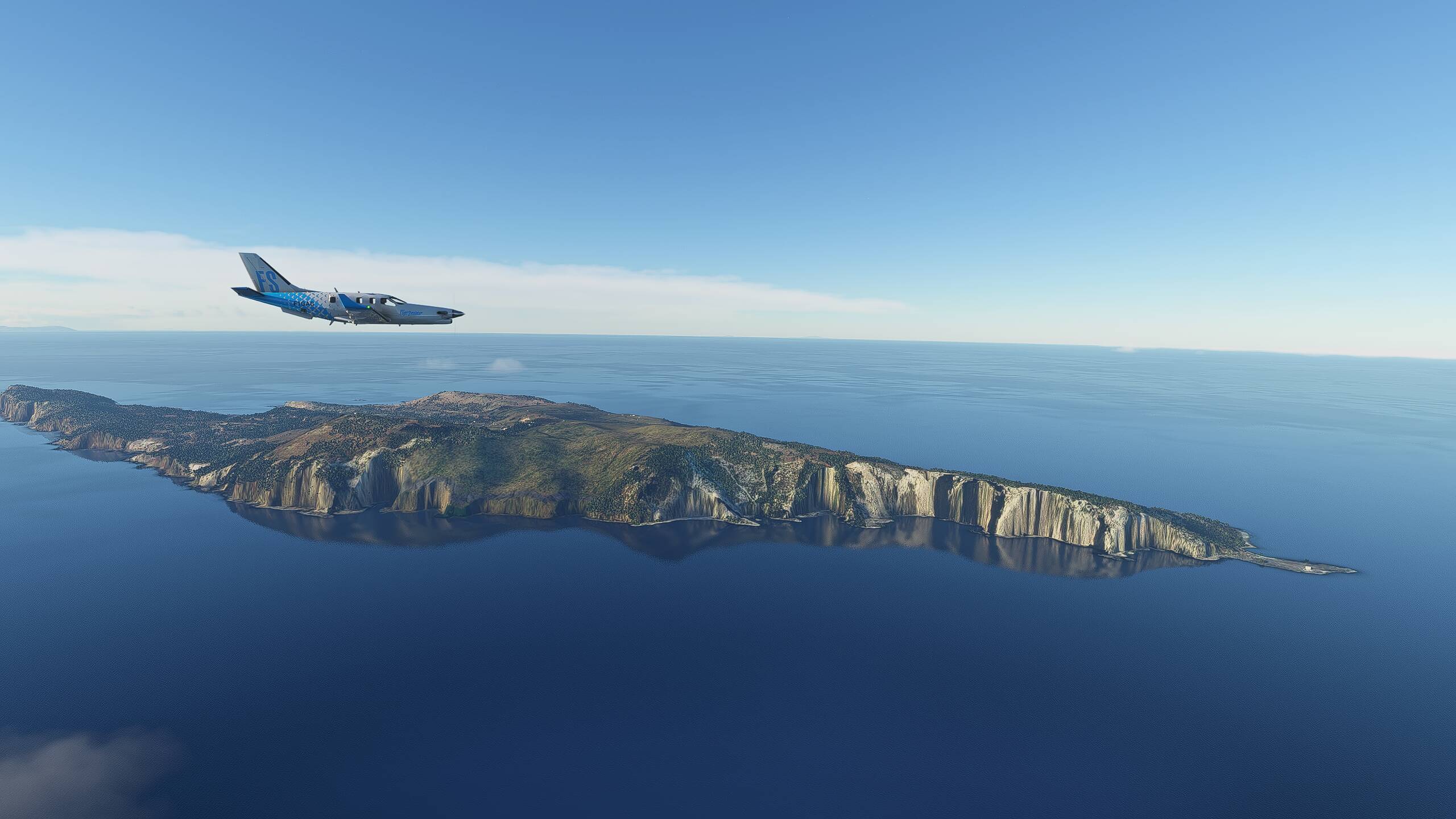
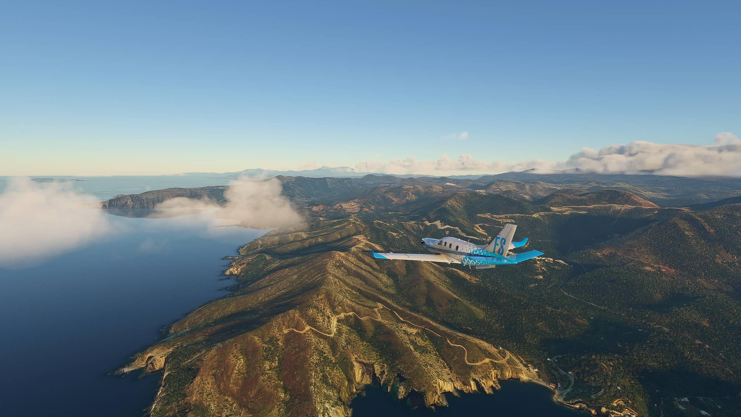
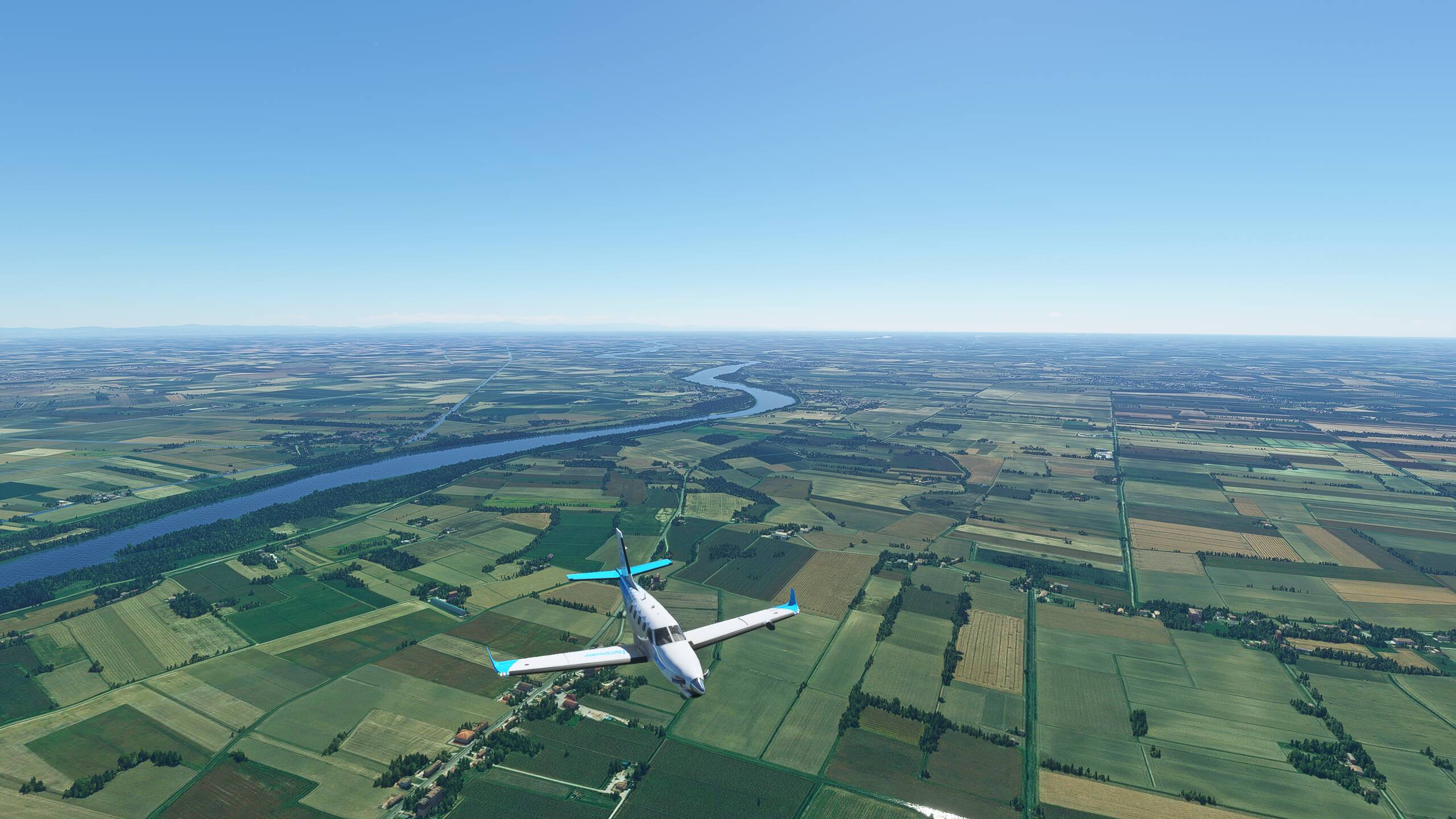
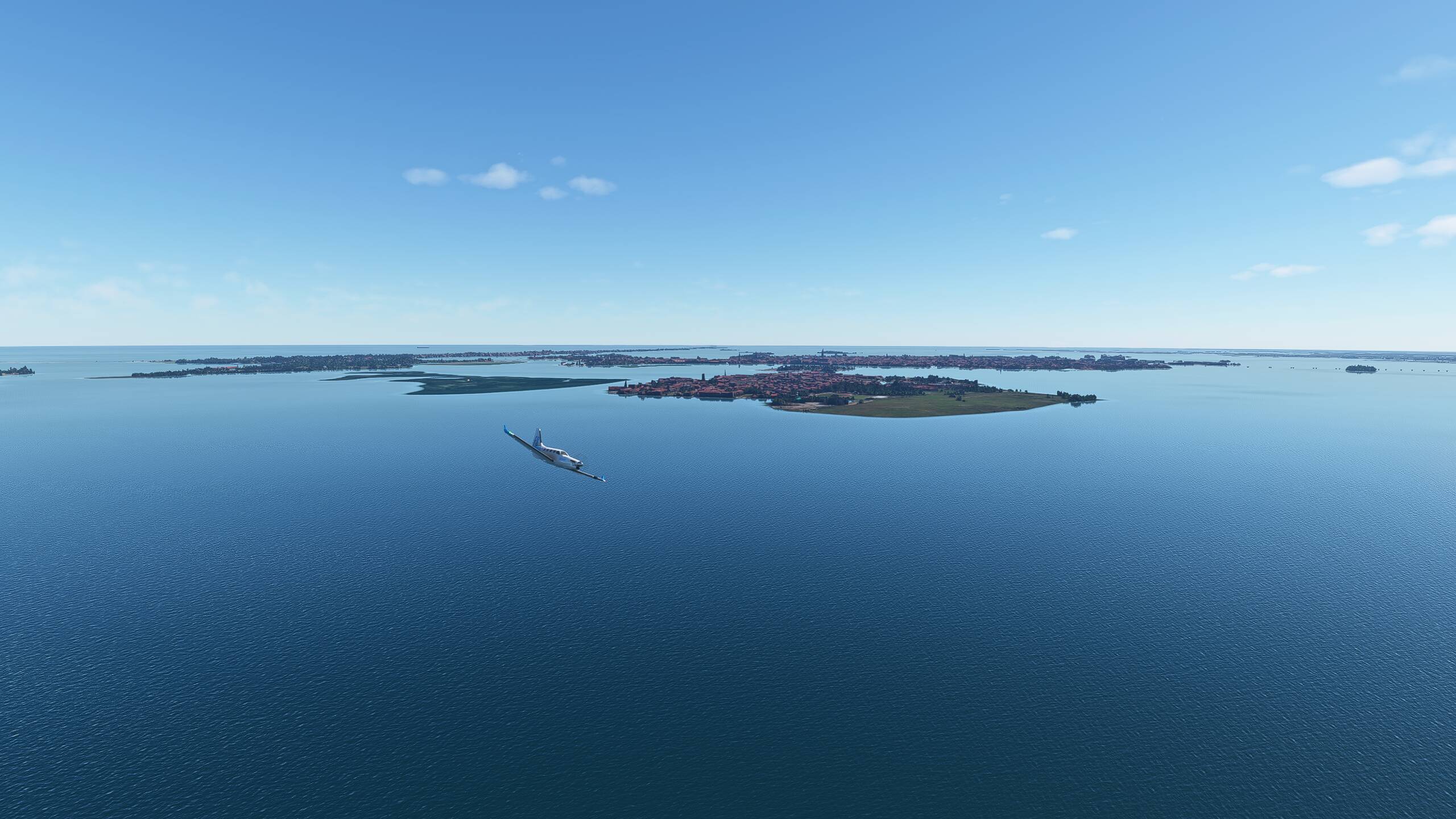
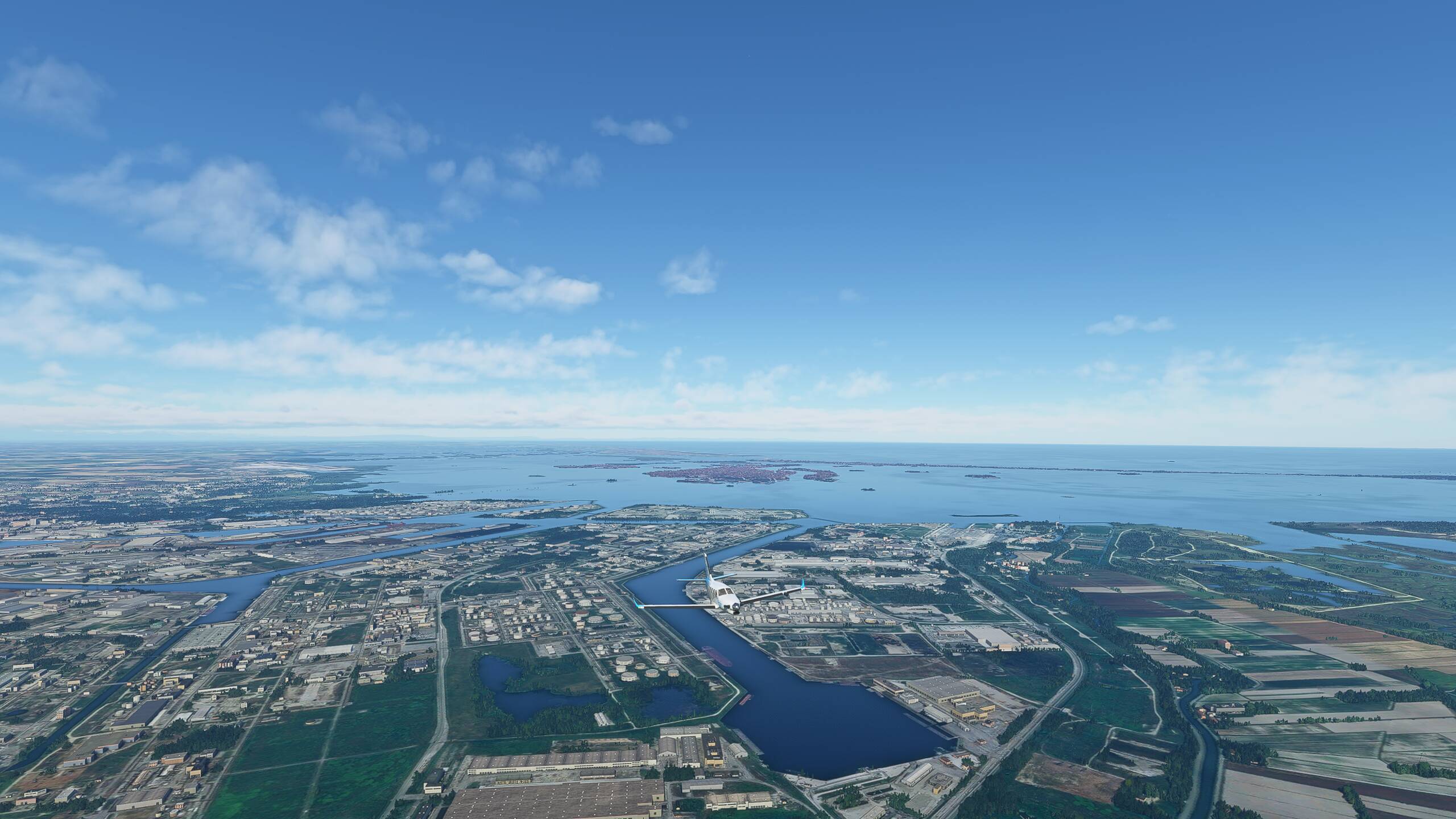
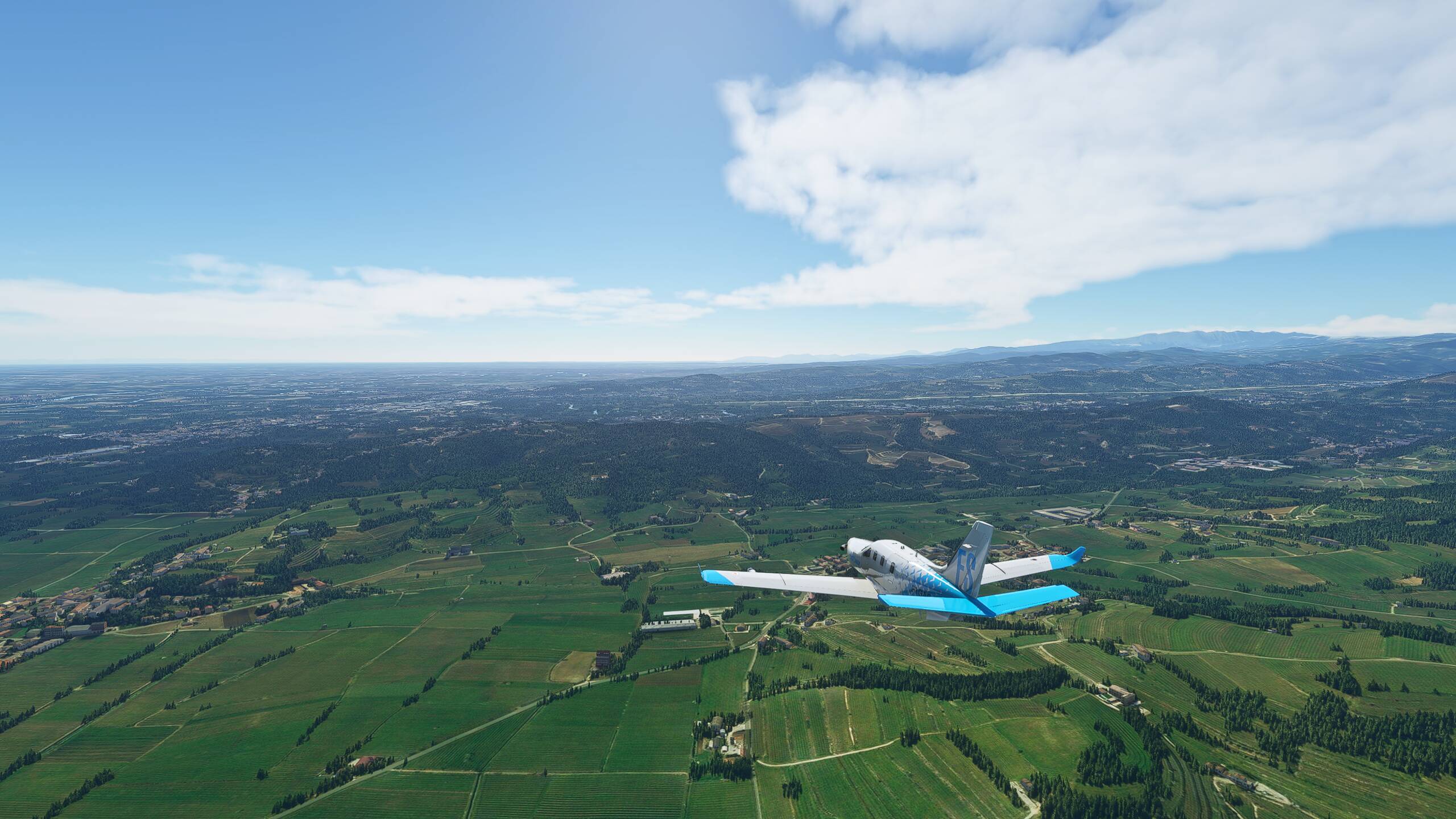
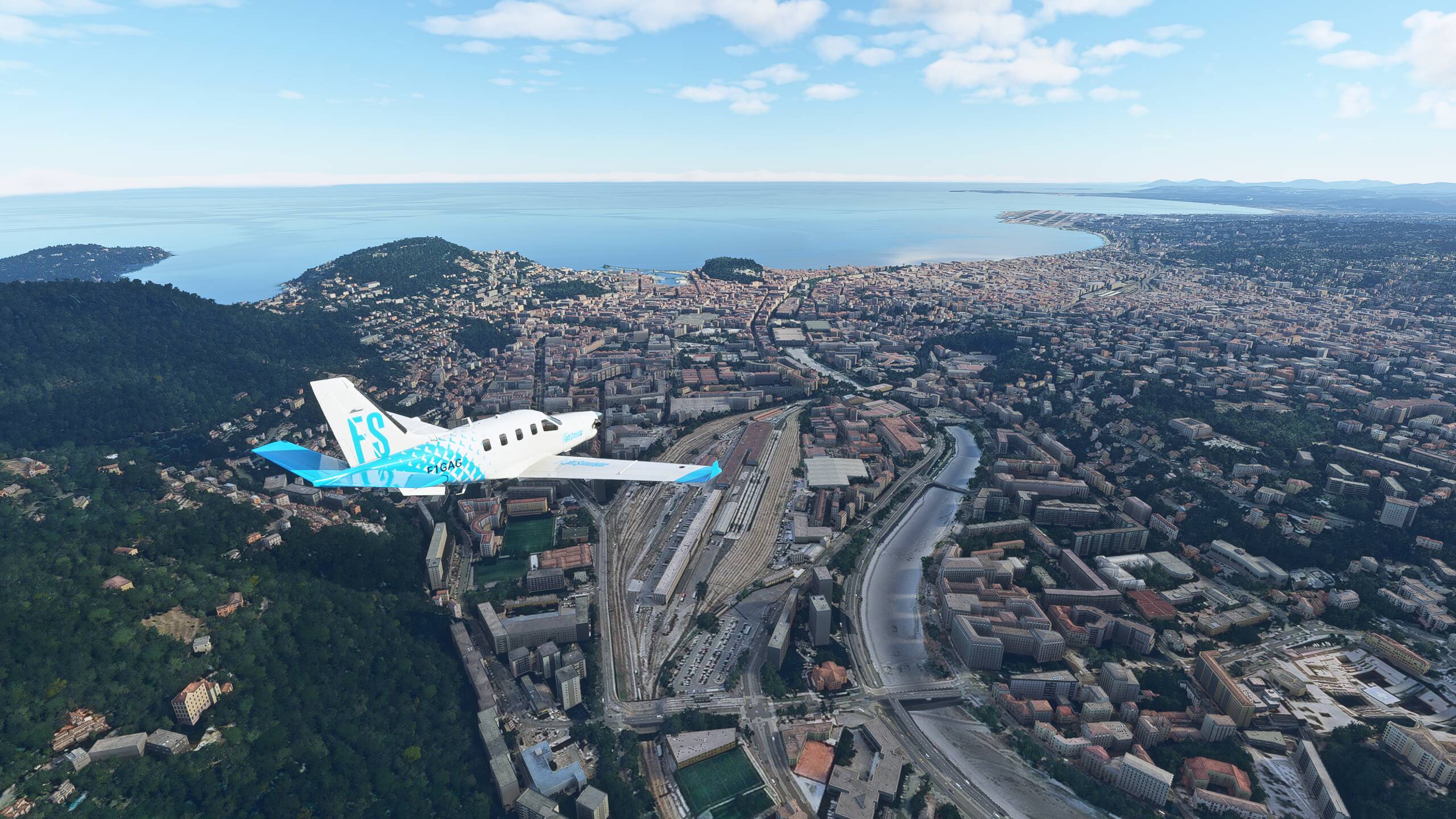
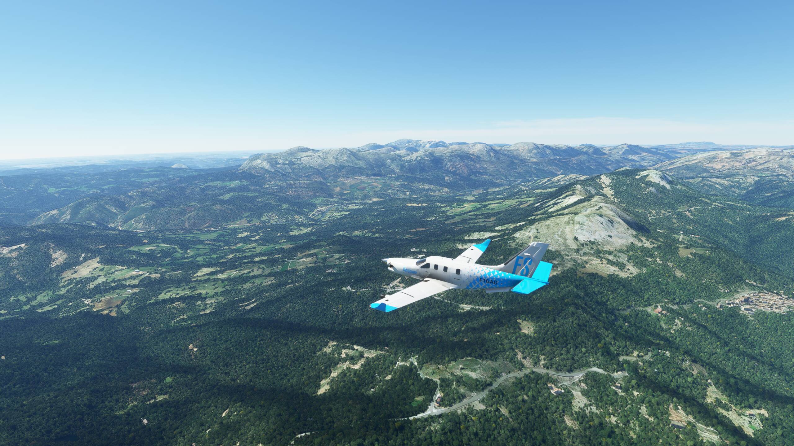
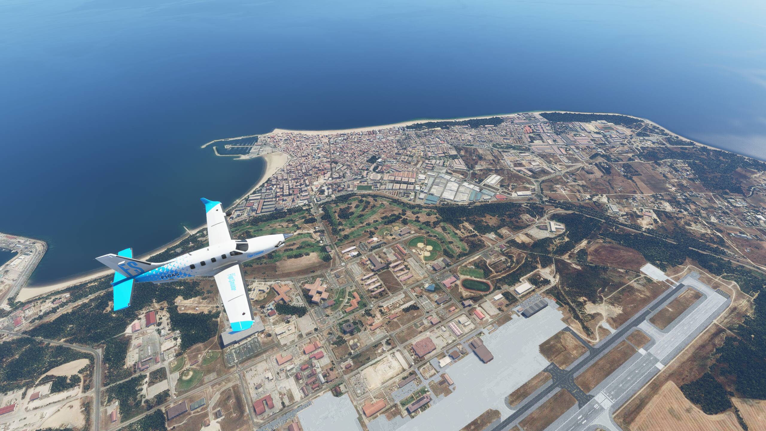
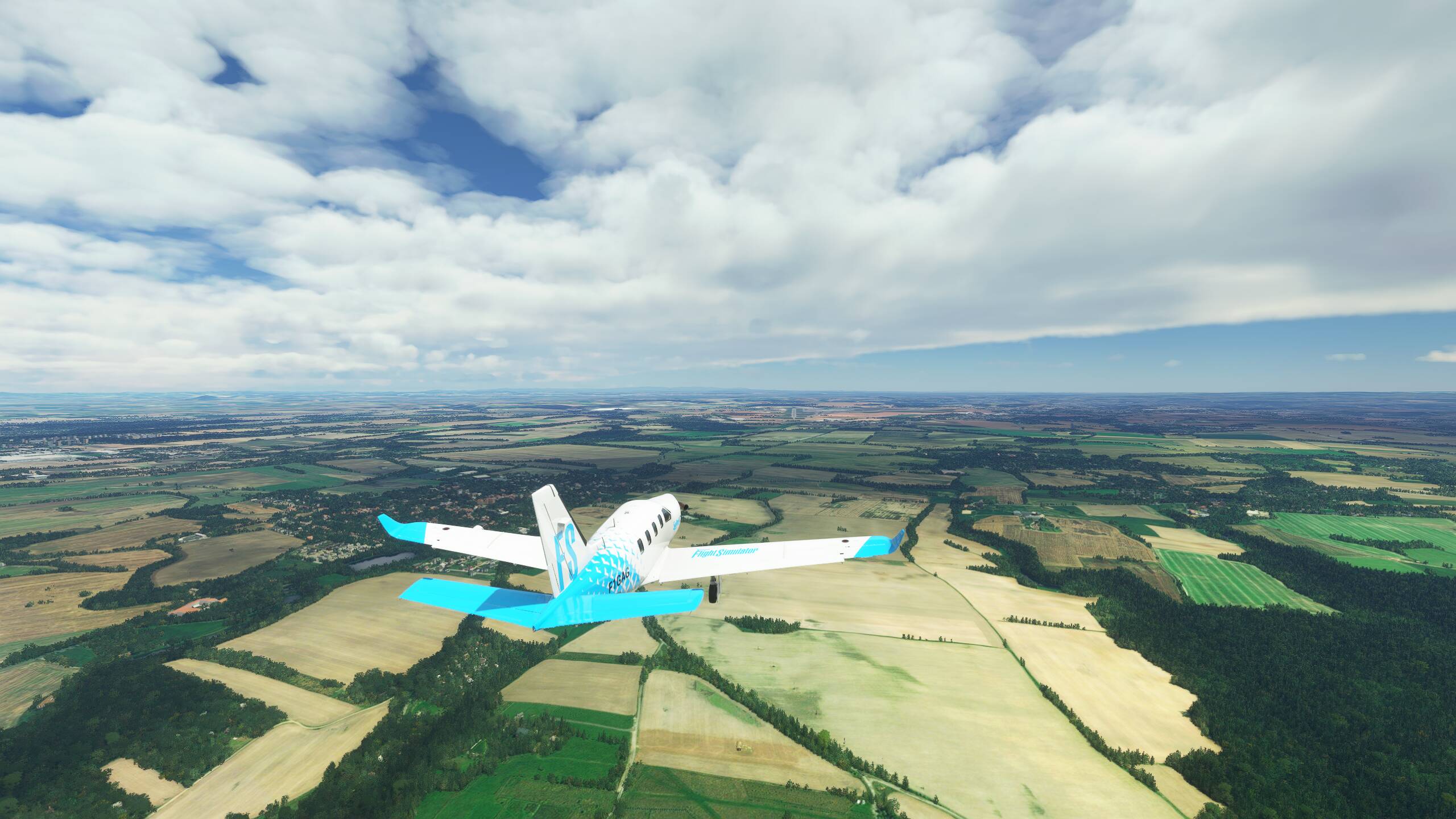
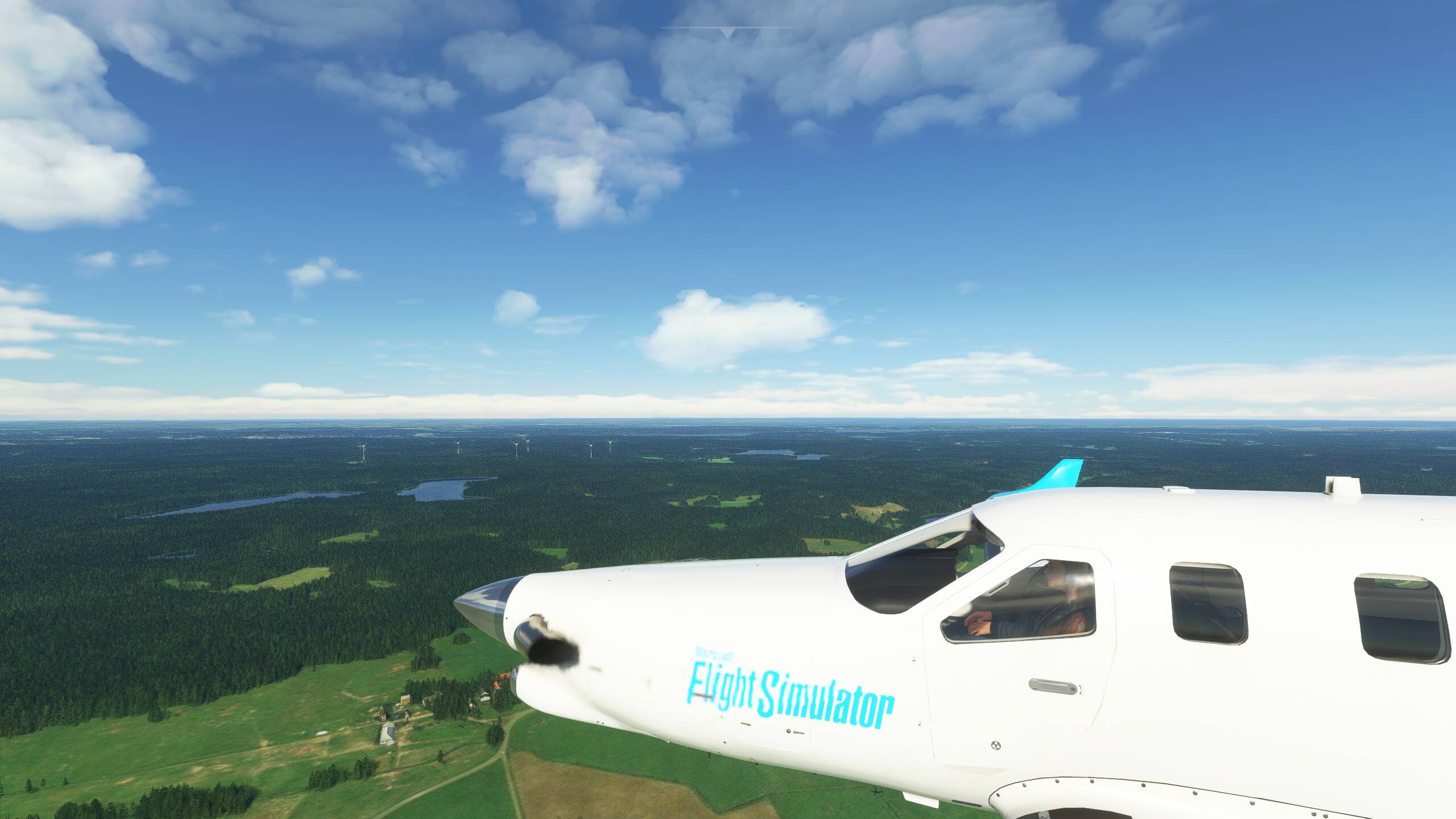
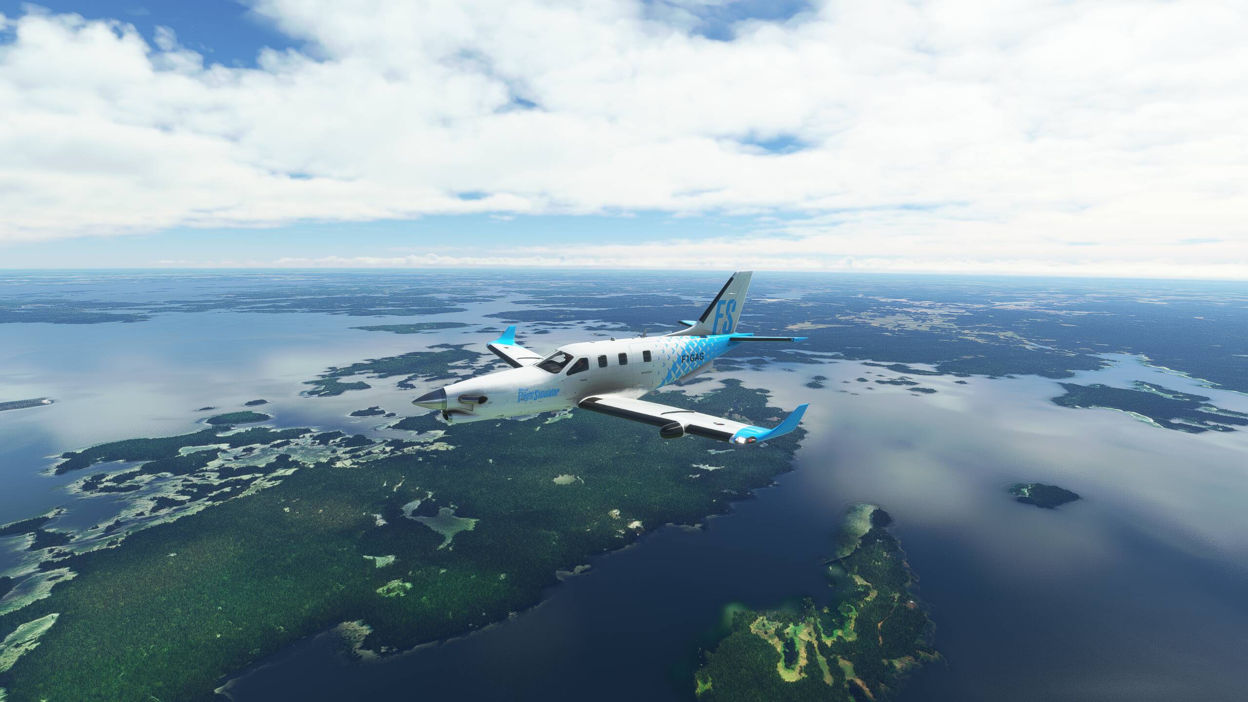
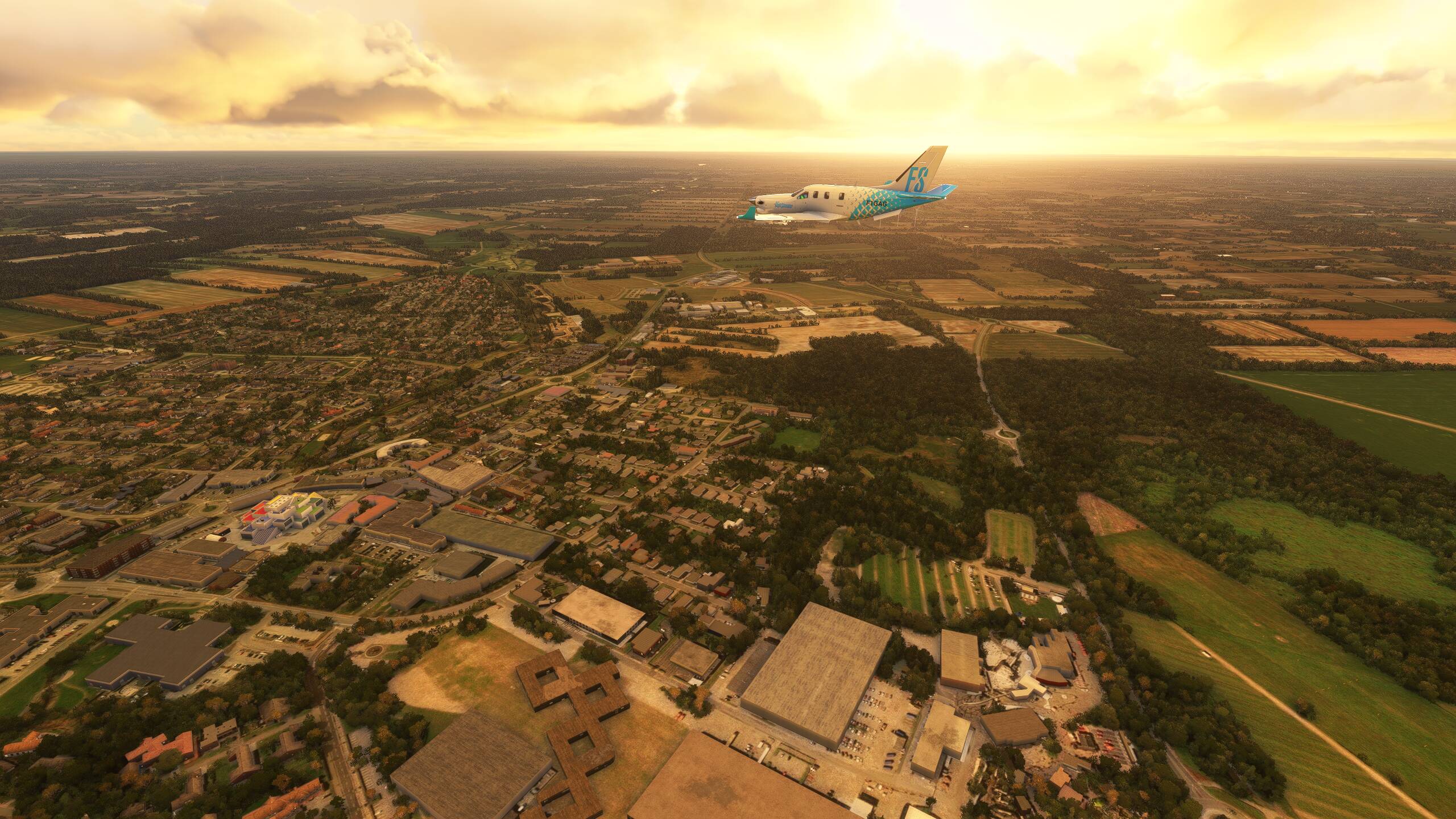
Today we are sight-seeing across Central Europe, heading North initially to Geneva, and then cutting across East, all the way to Prague and Ruzyne Airport. On the way, we’re going to fly by a few sights. First is the Arc-Et-Senans, then on to Chateau du Haut-Koenigsbourg before we head to Strasbourg, Neuschwanstein Castle and finally Hohensalzburg Fortress before heading North East to Prague.
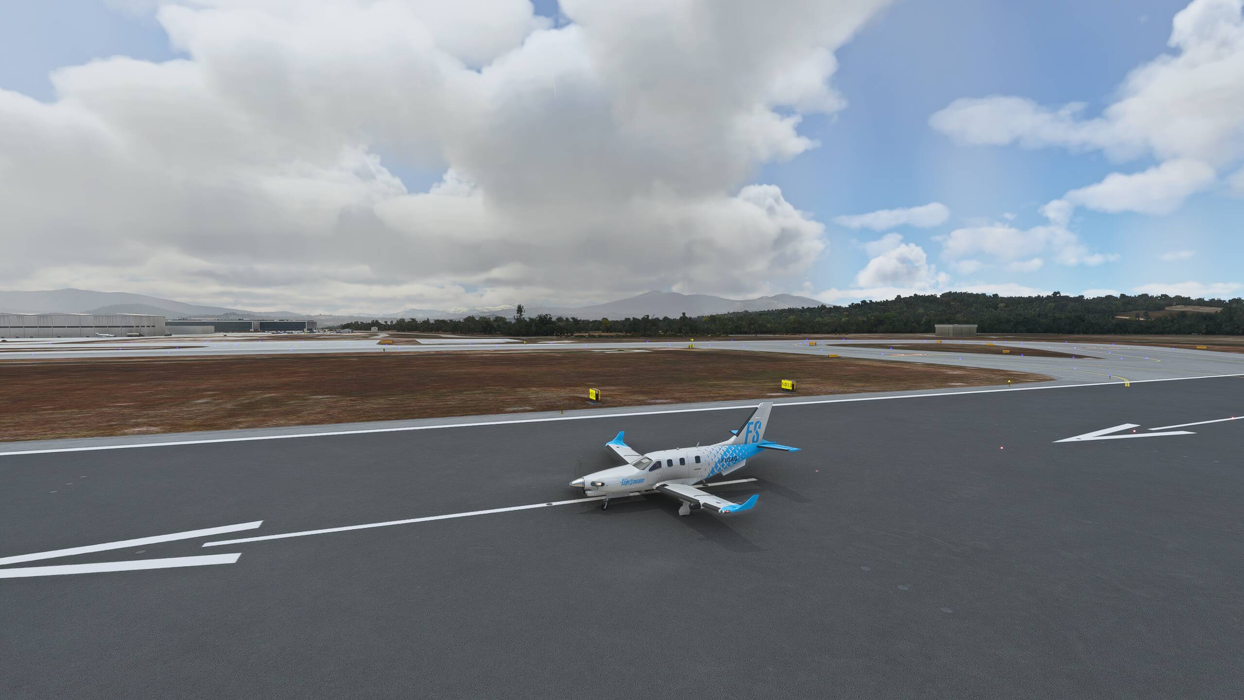
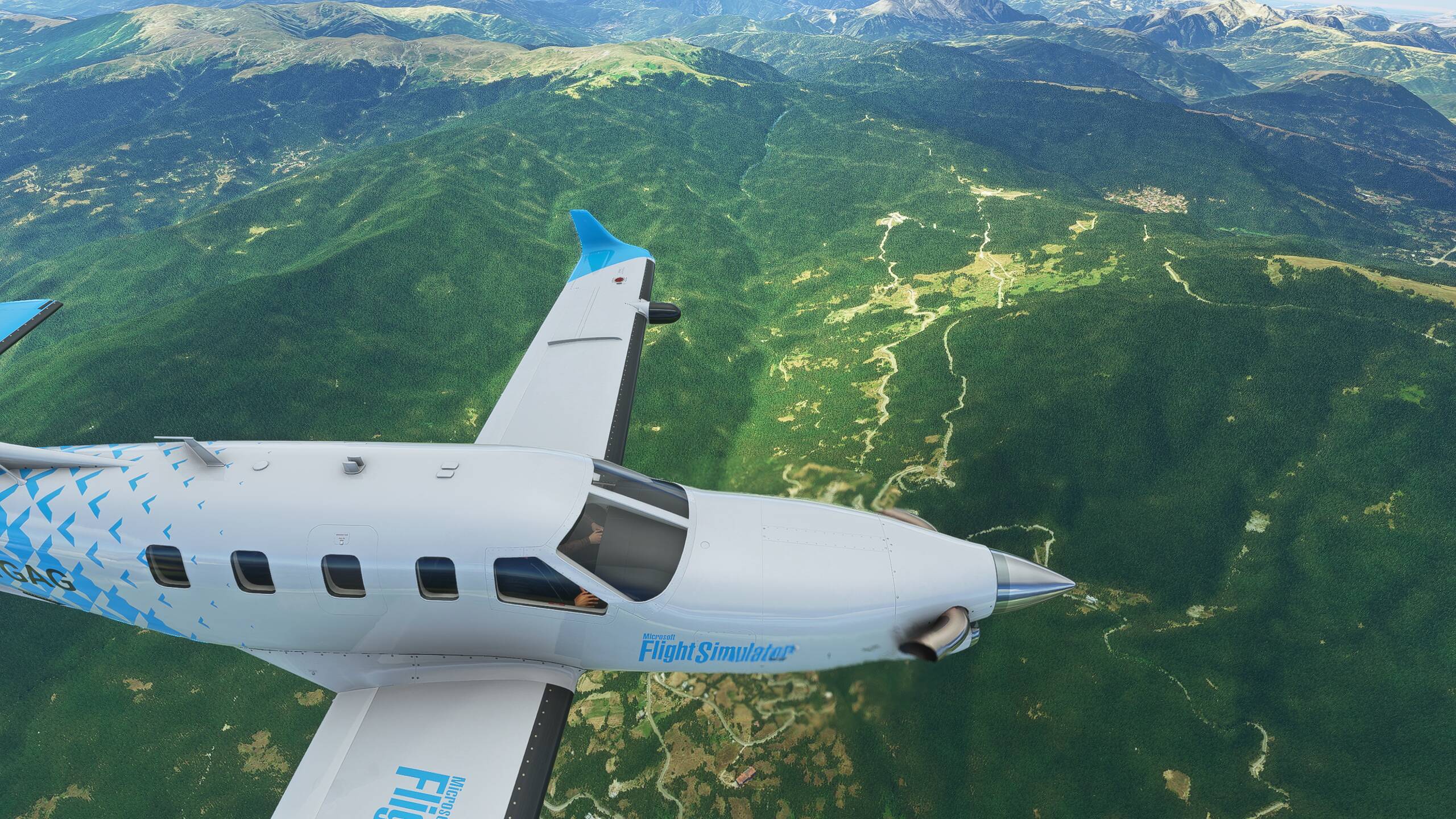
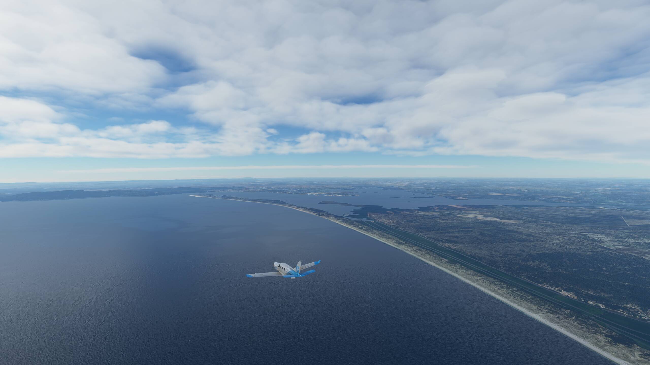
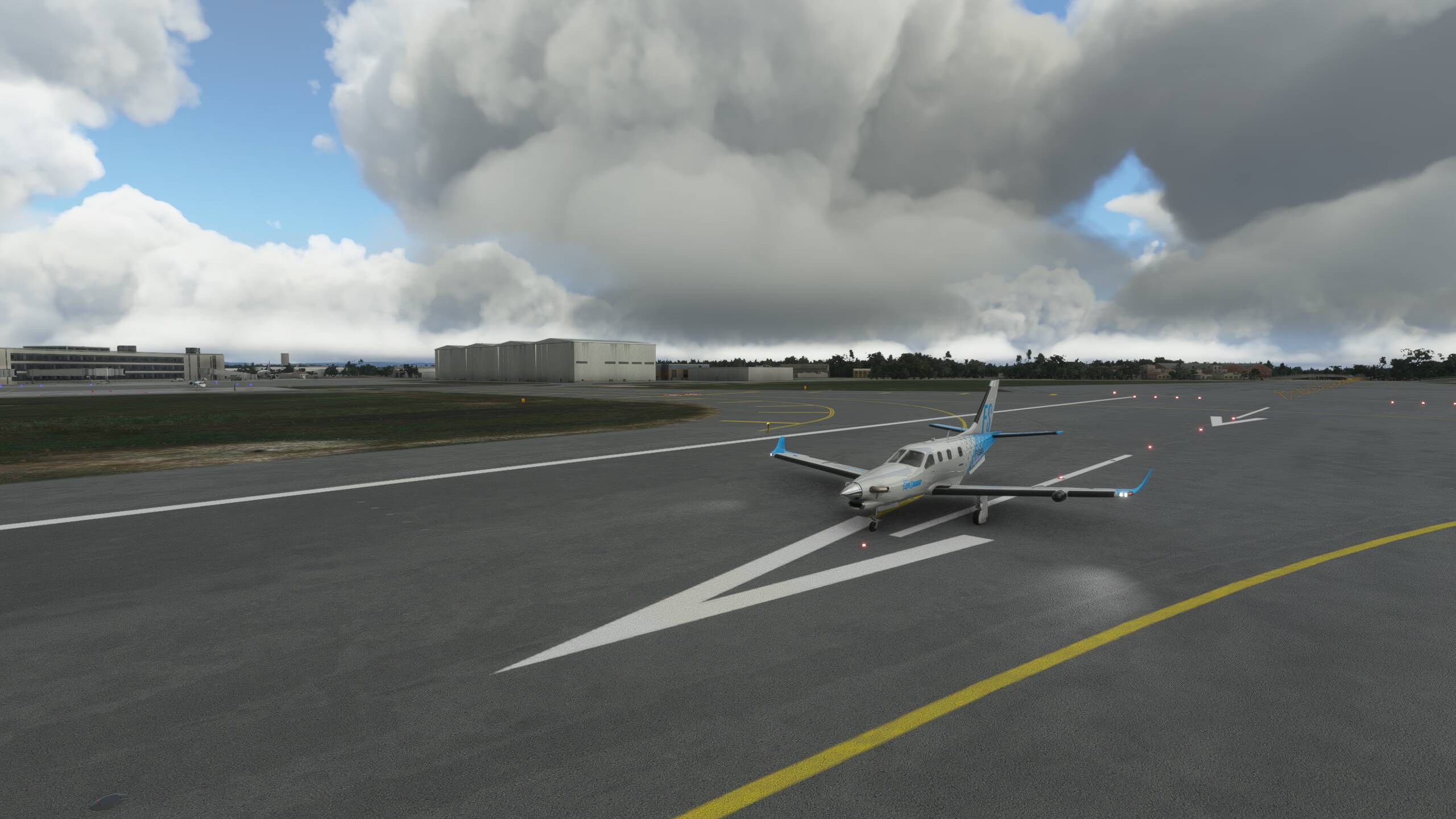
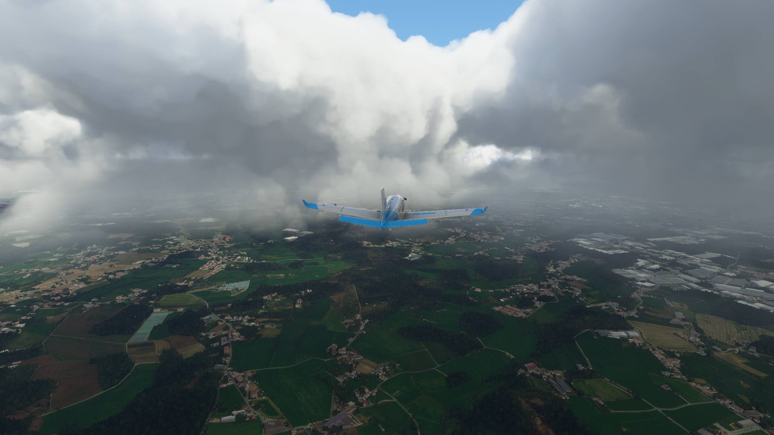
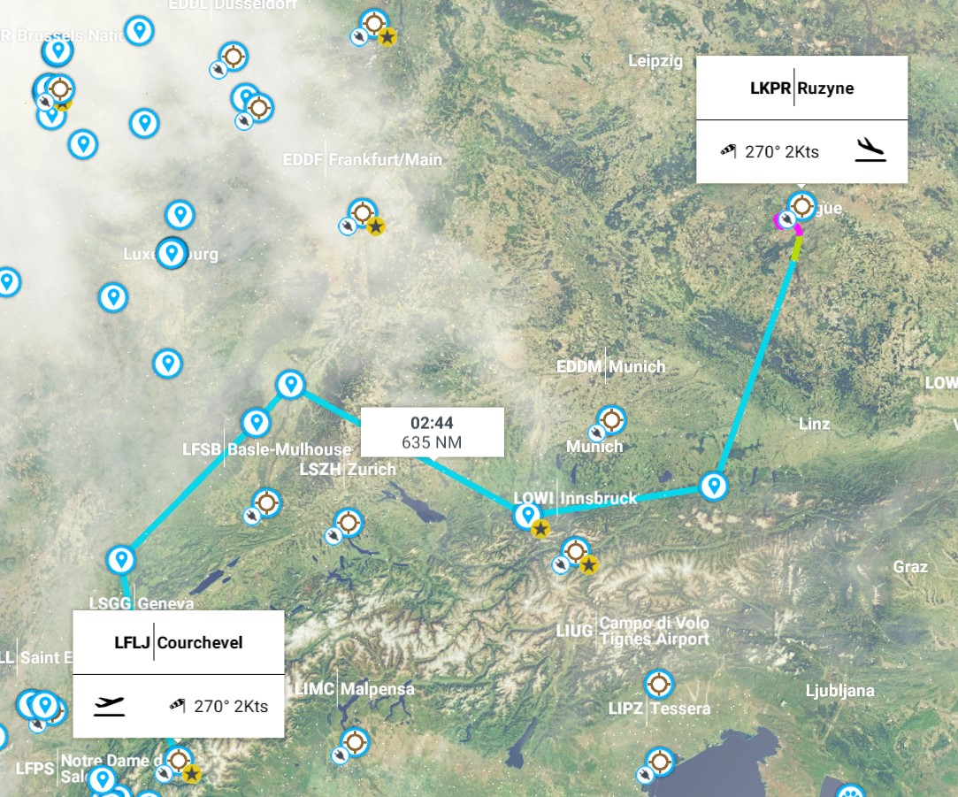
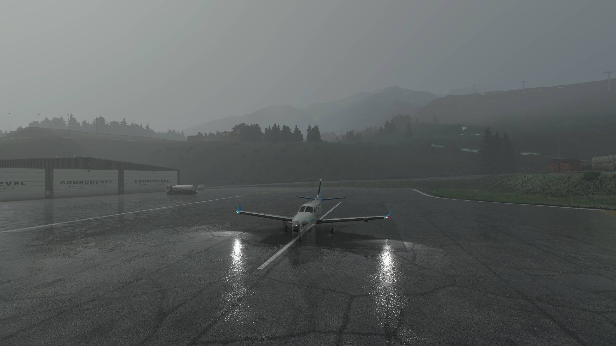
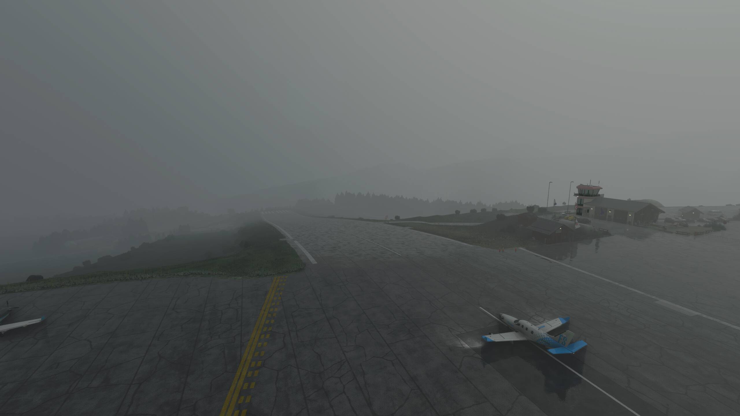
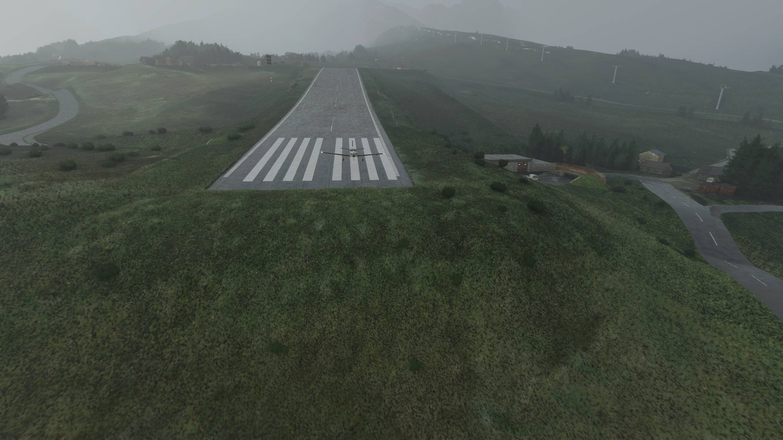
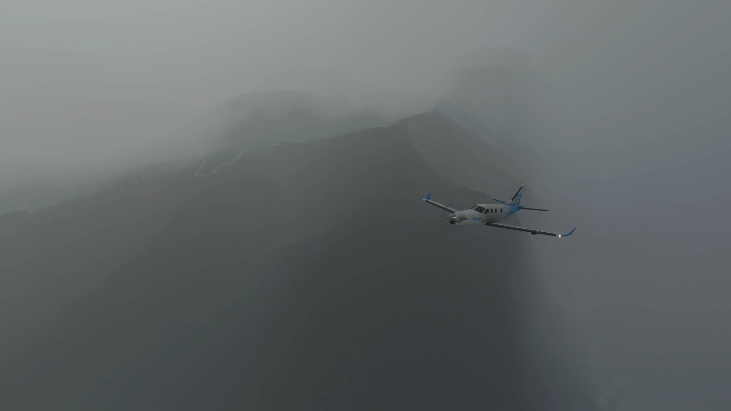
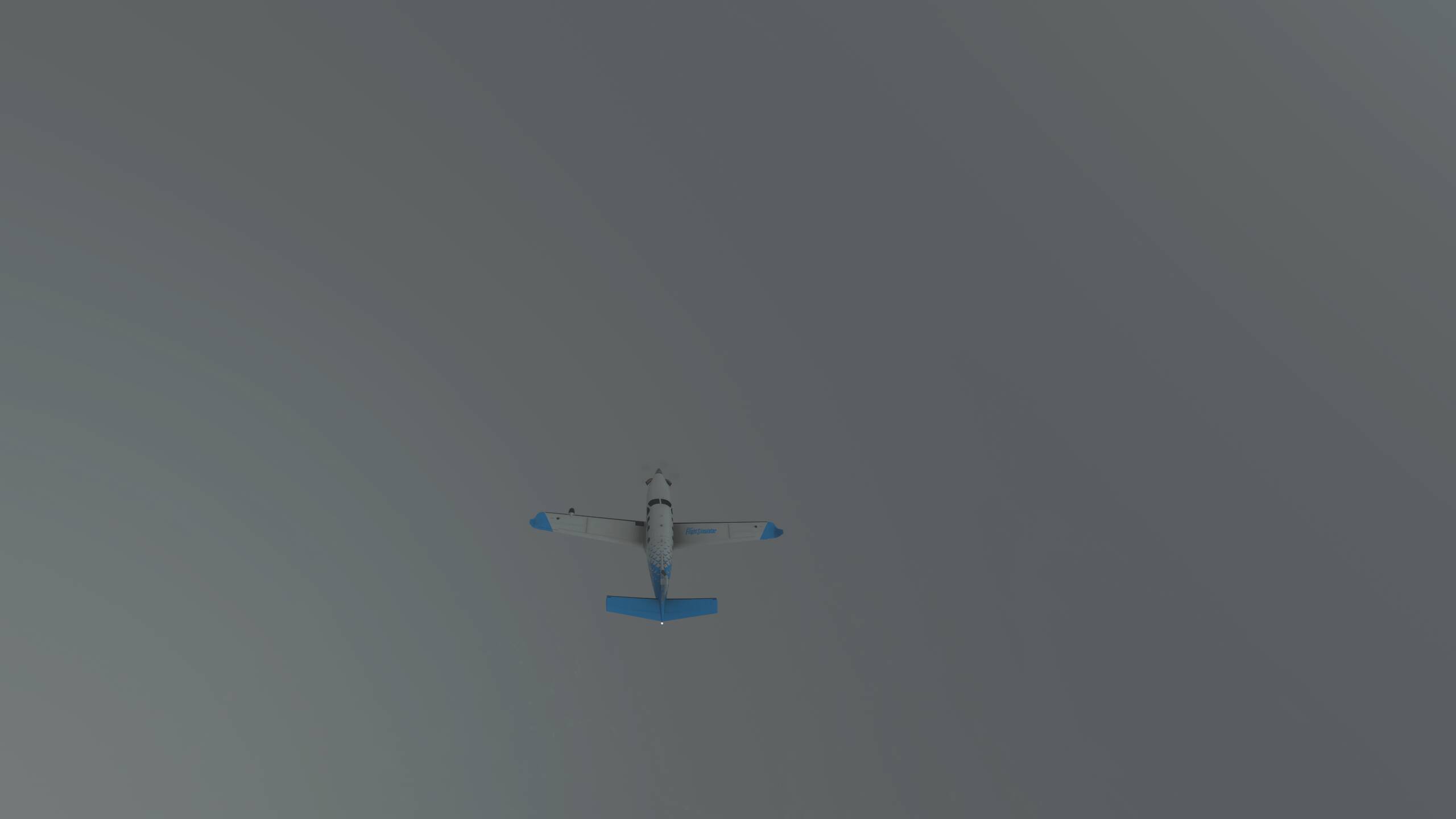
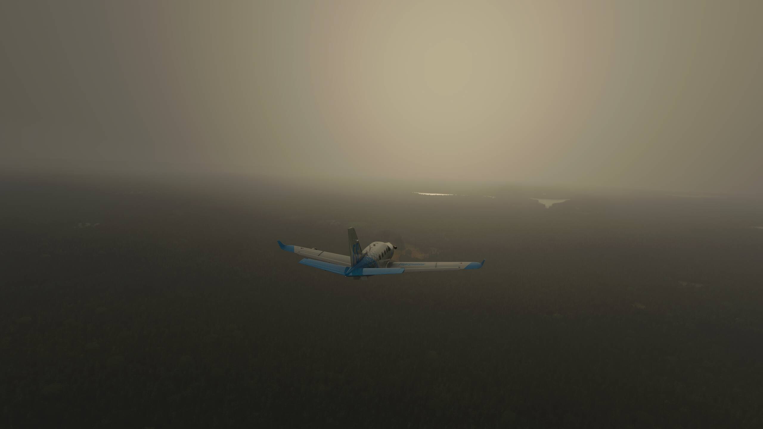
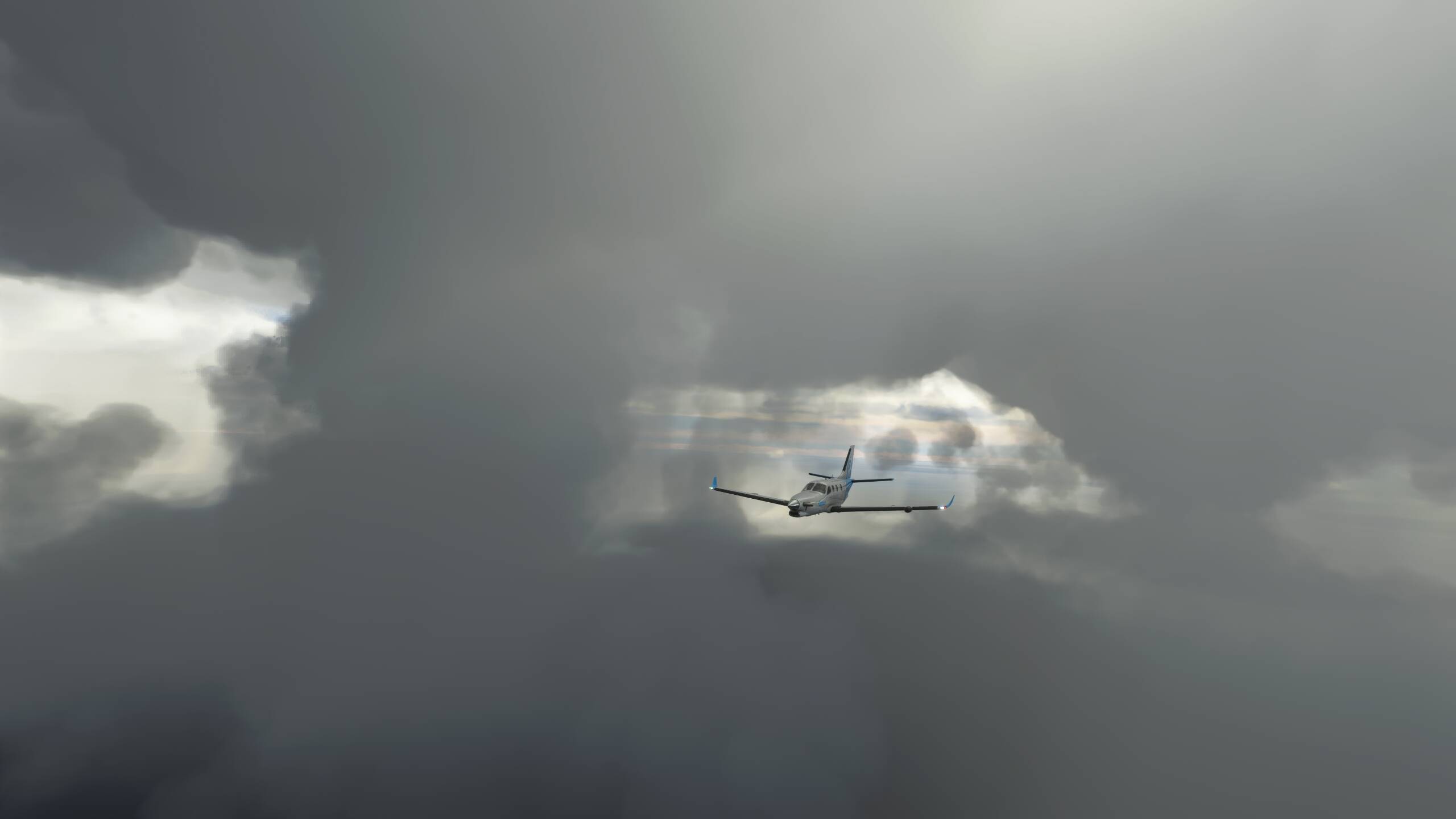
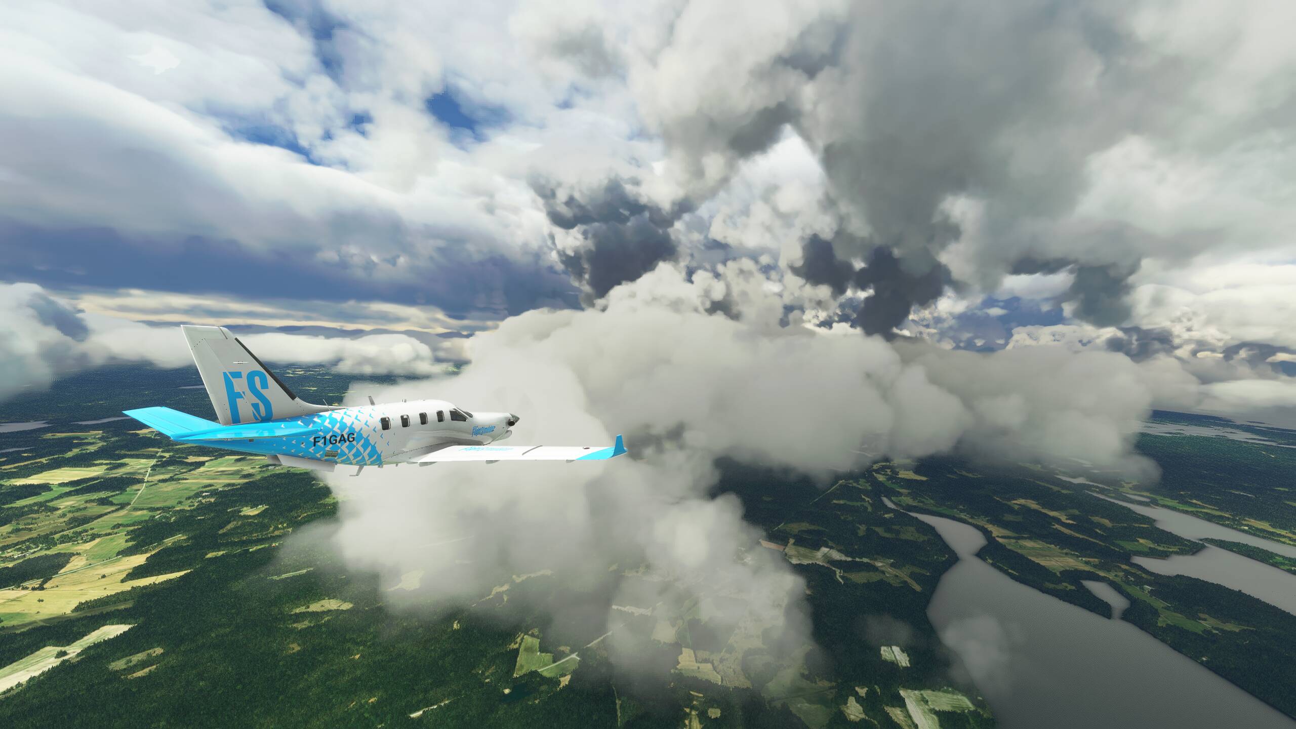
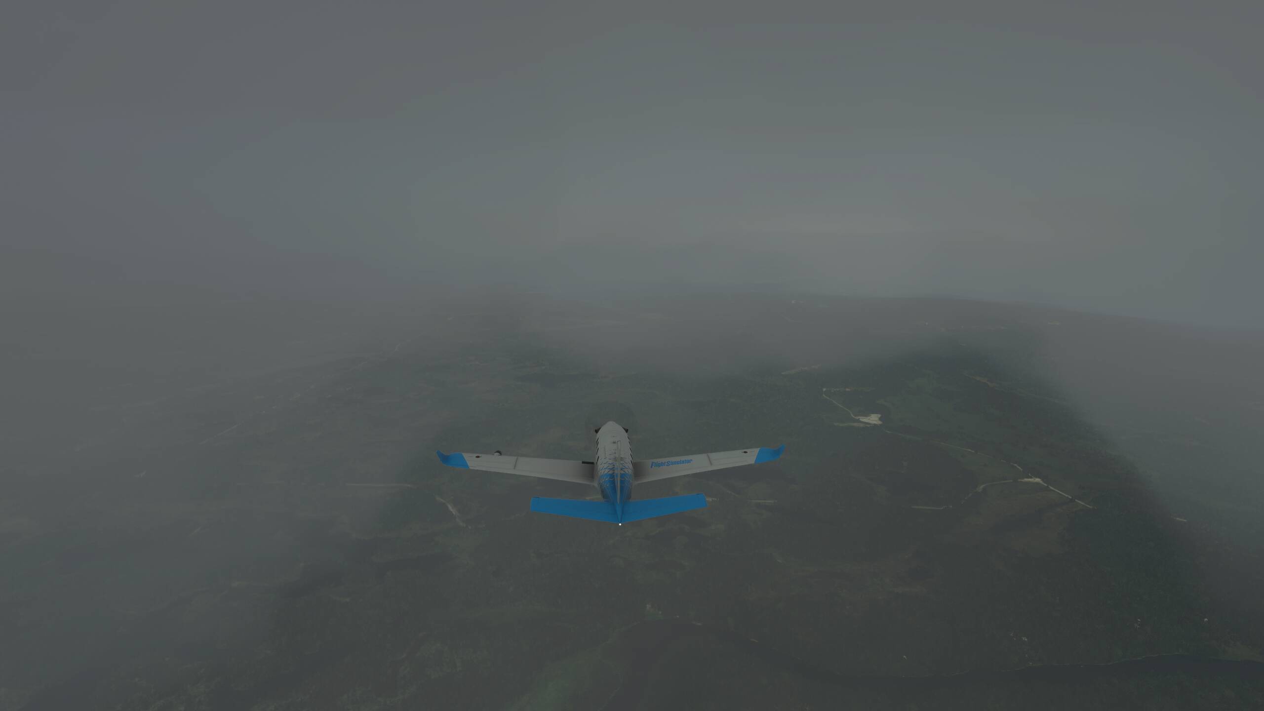
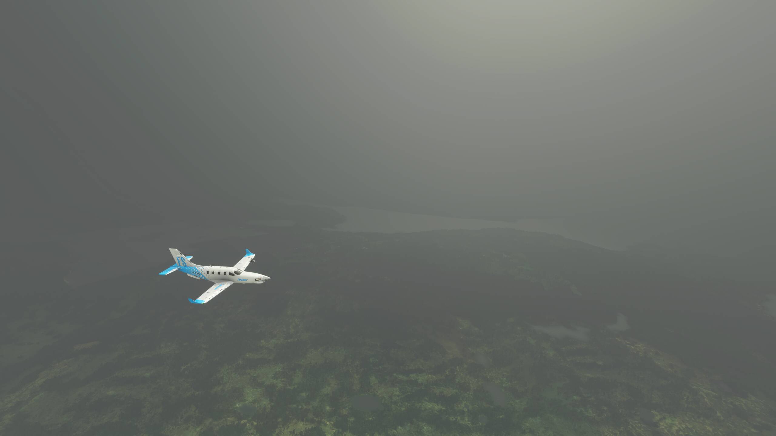
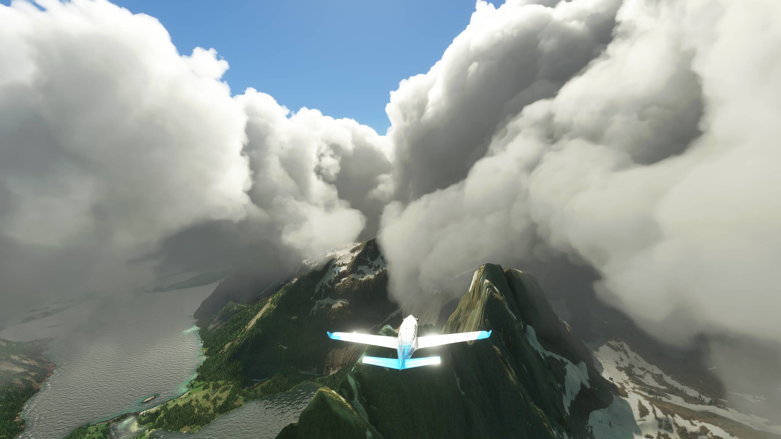
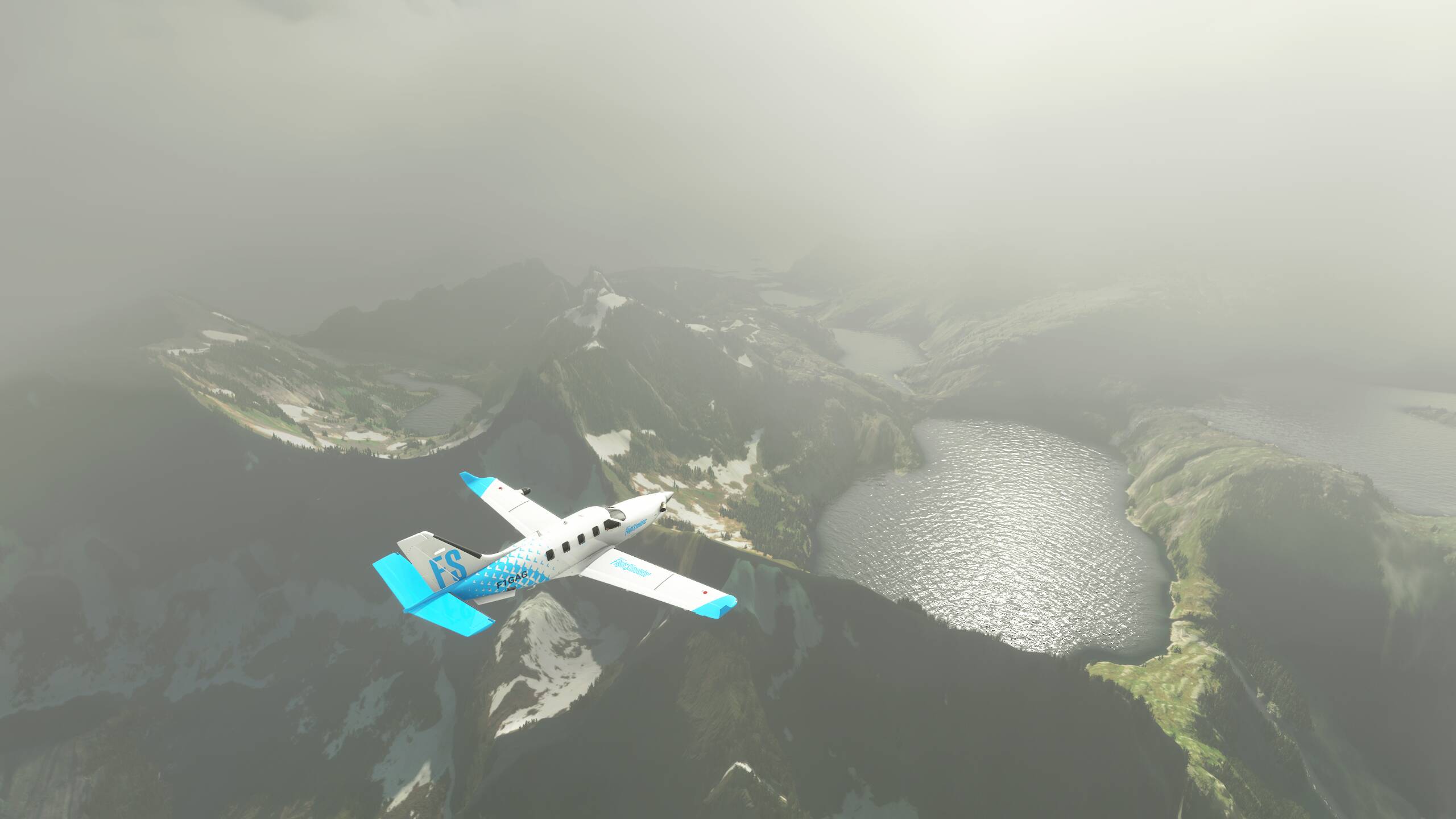
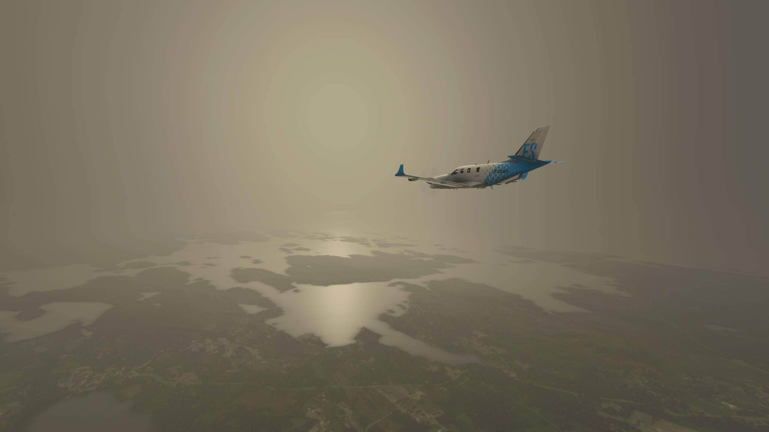
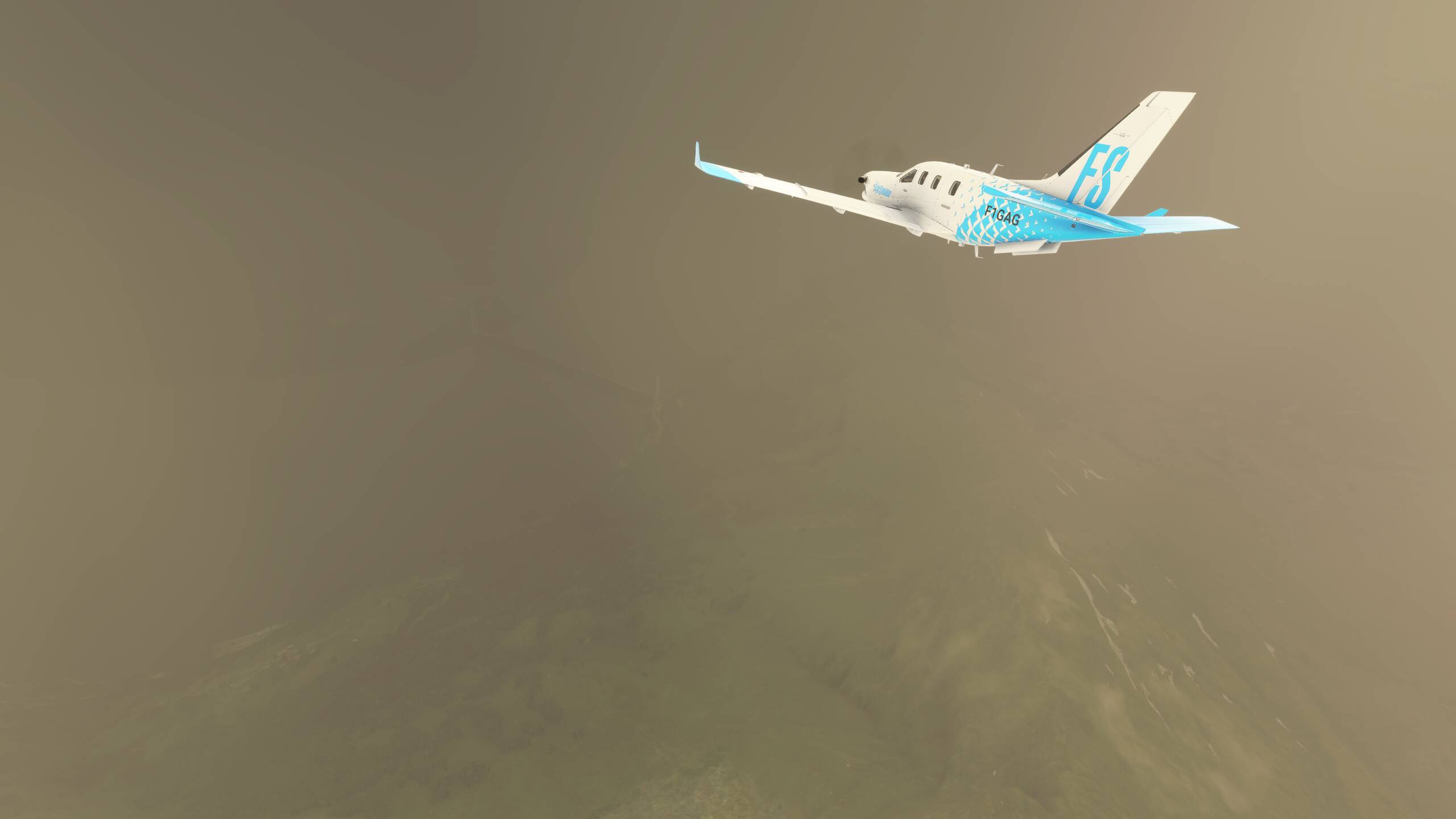
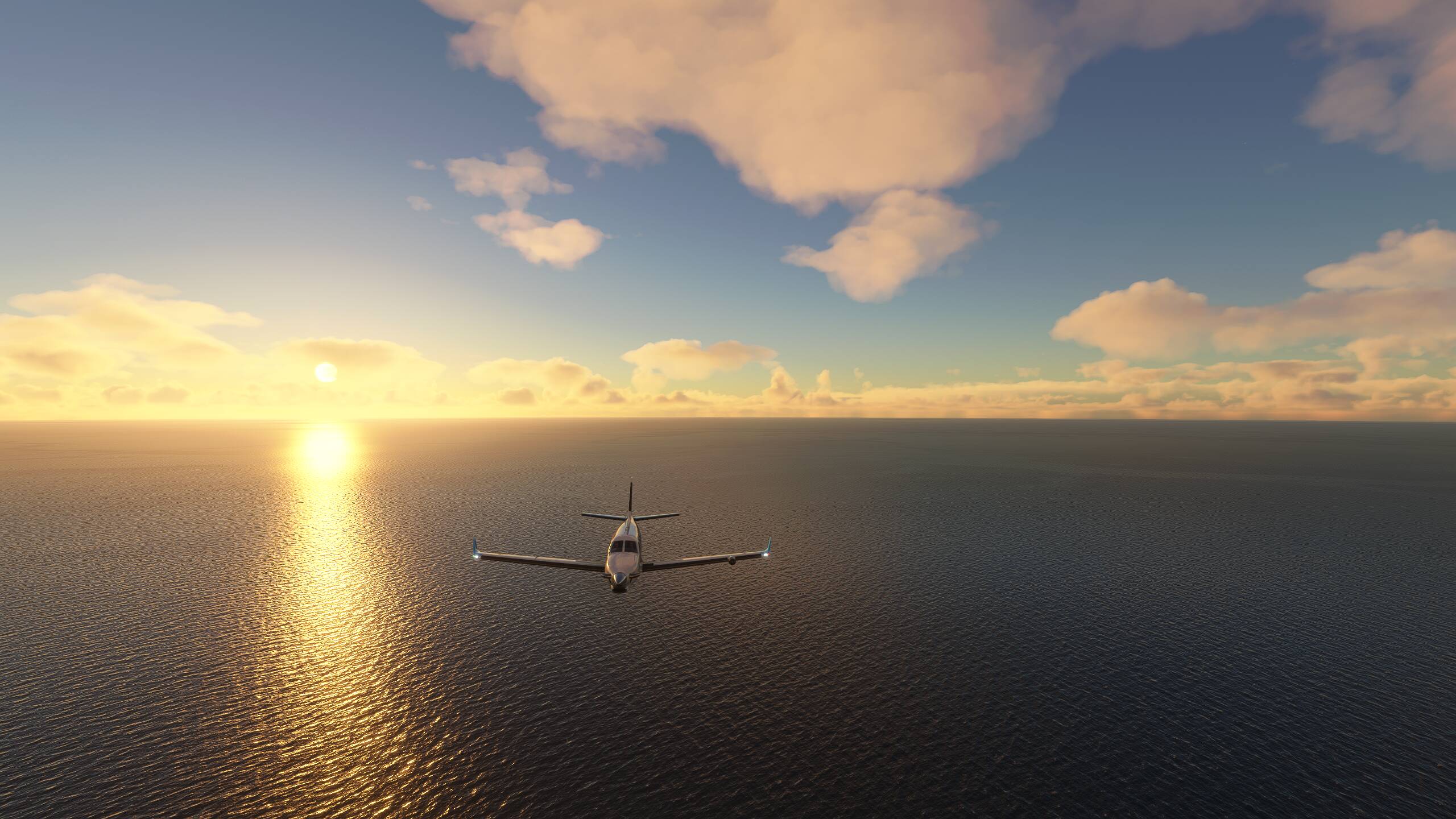
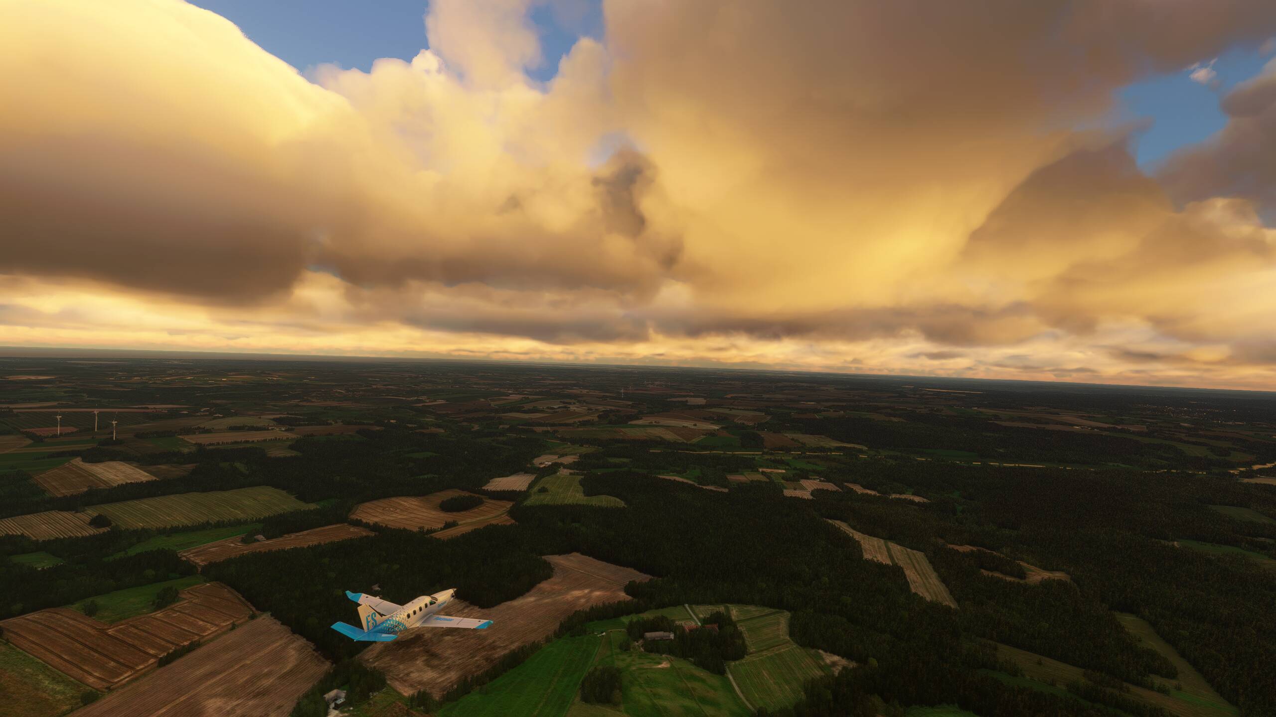
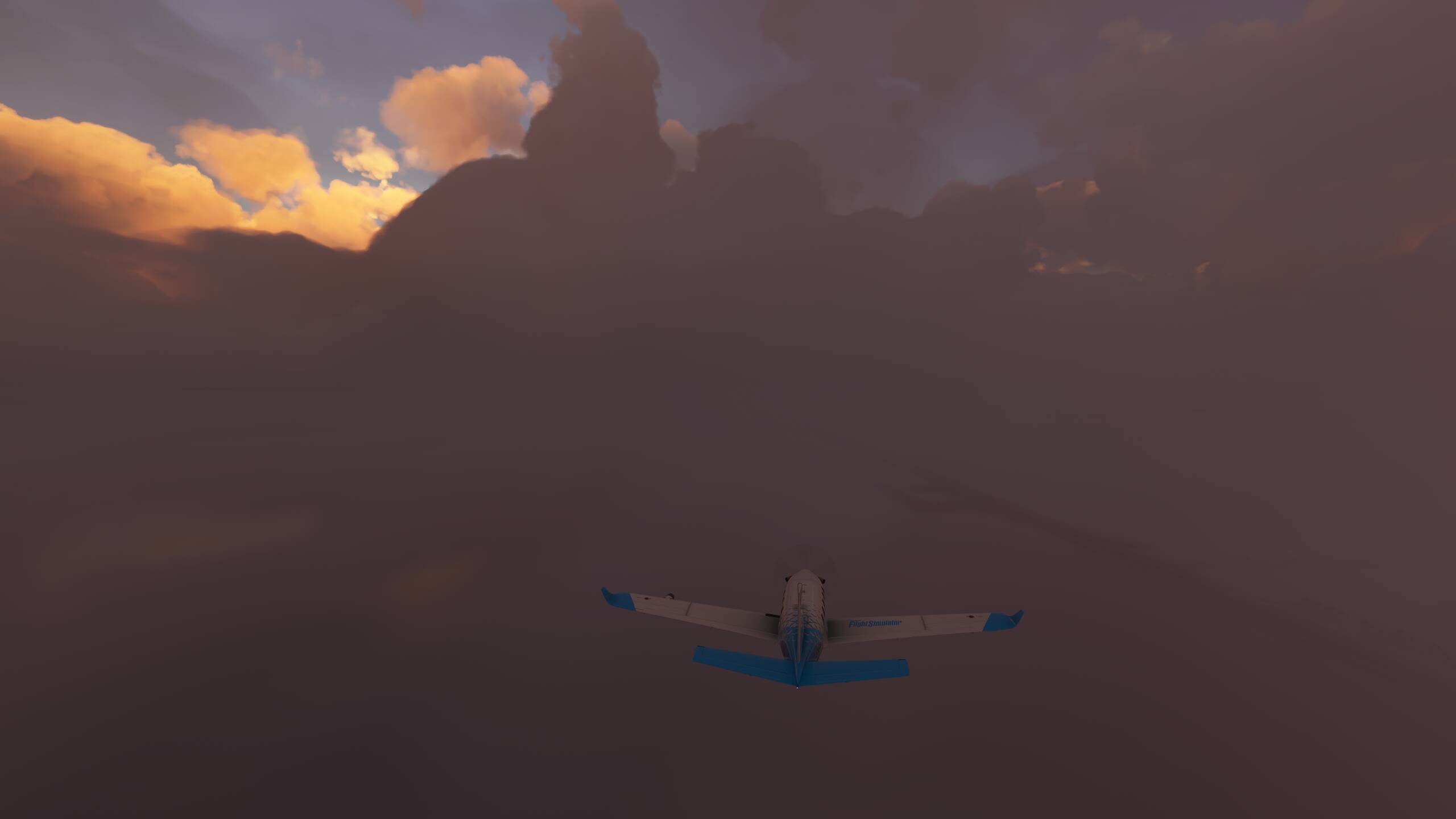
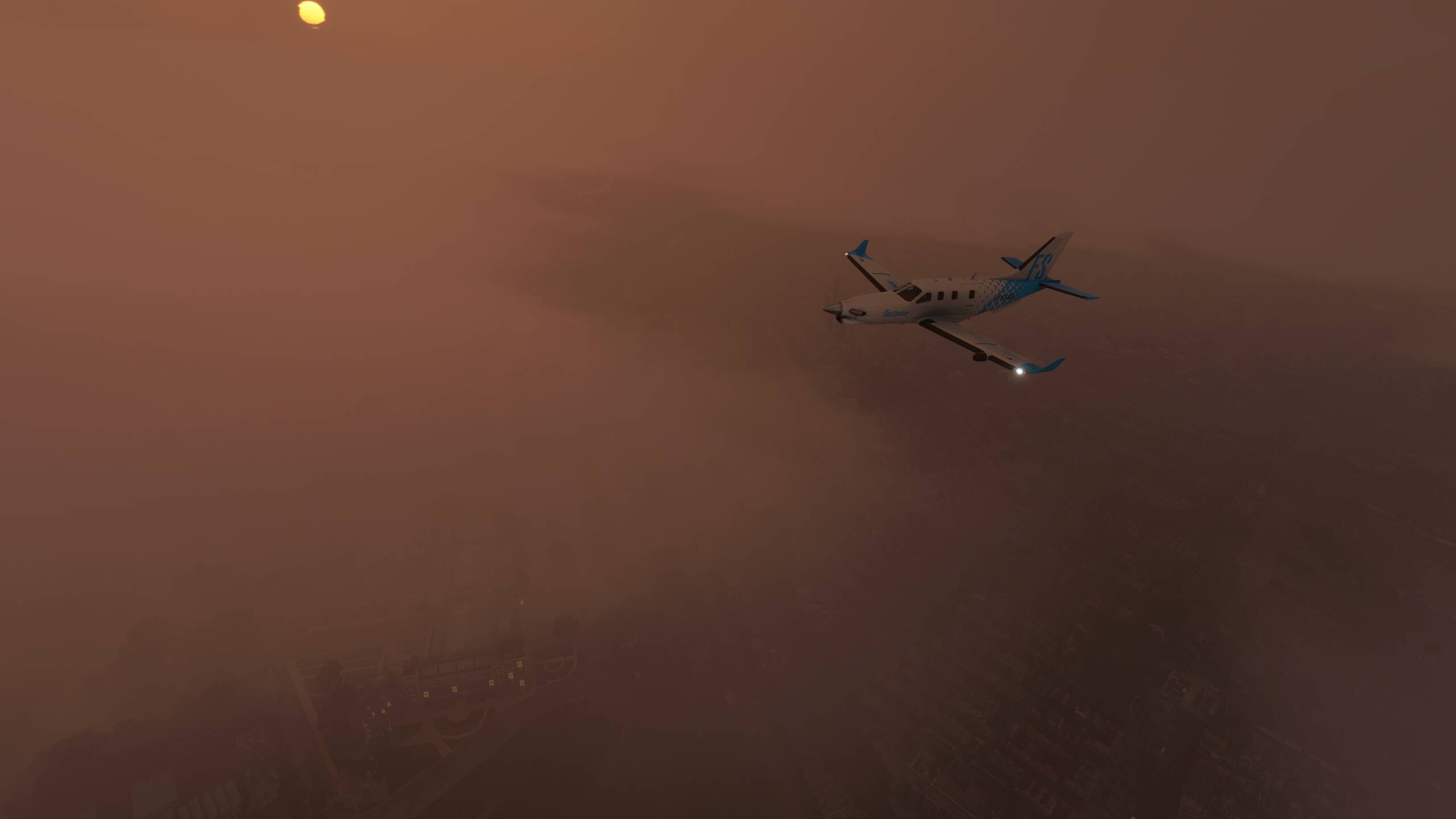
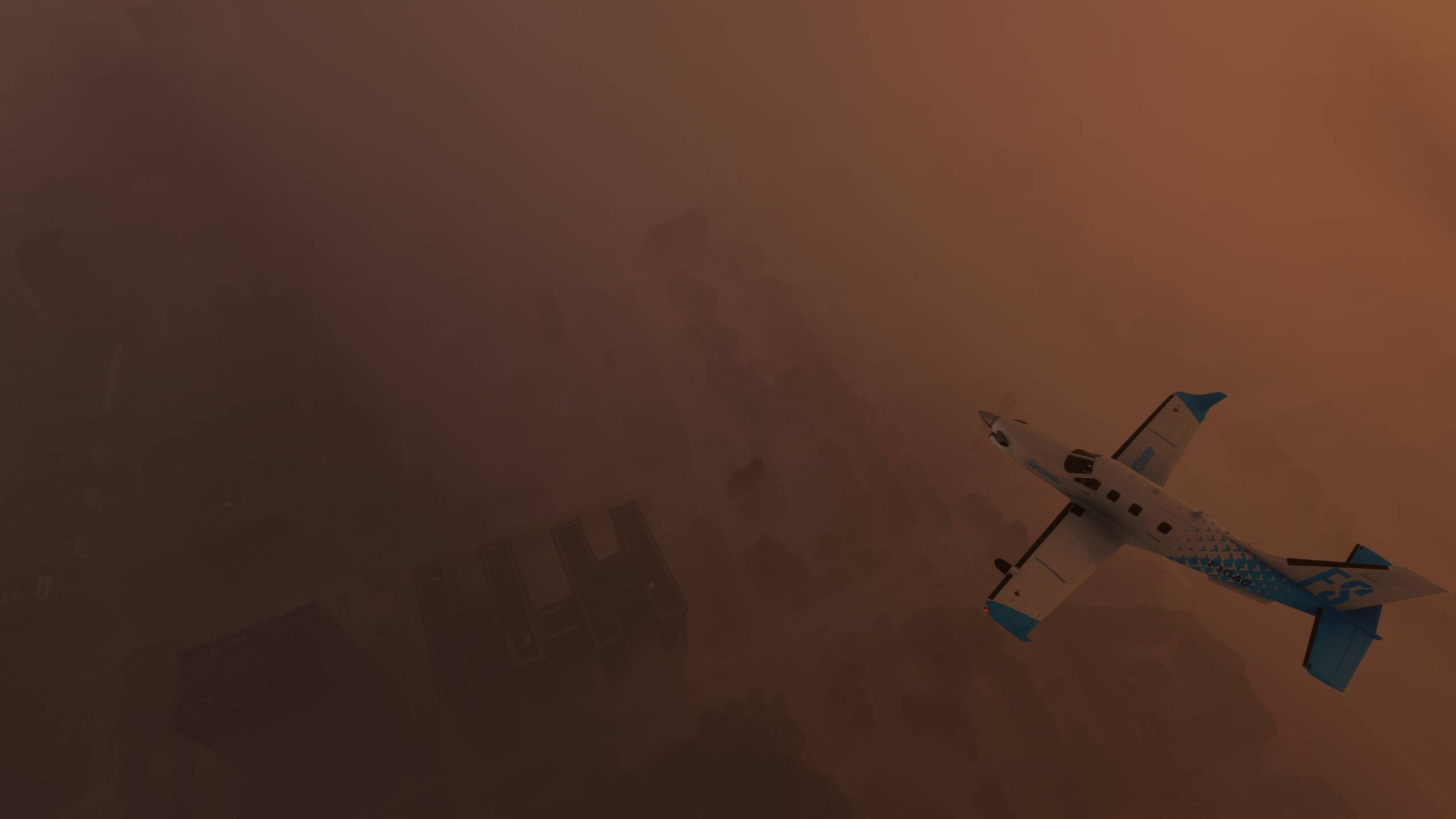
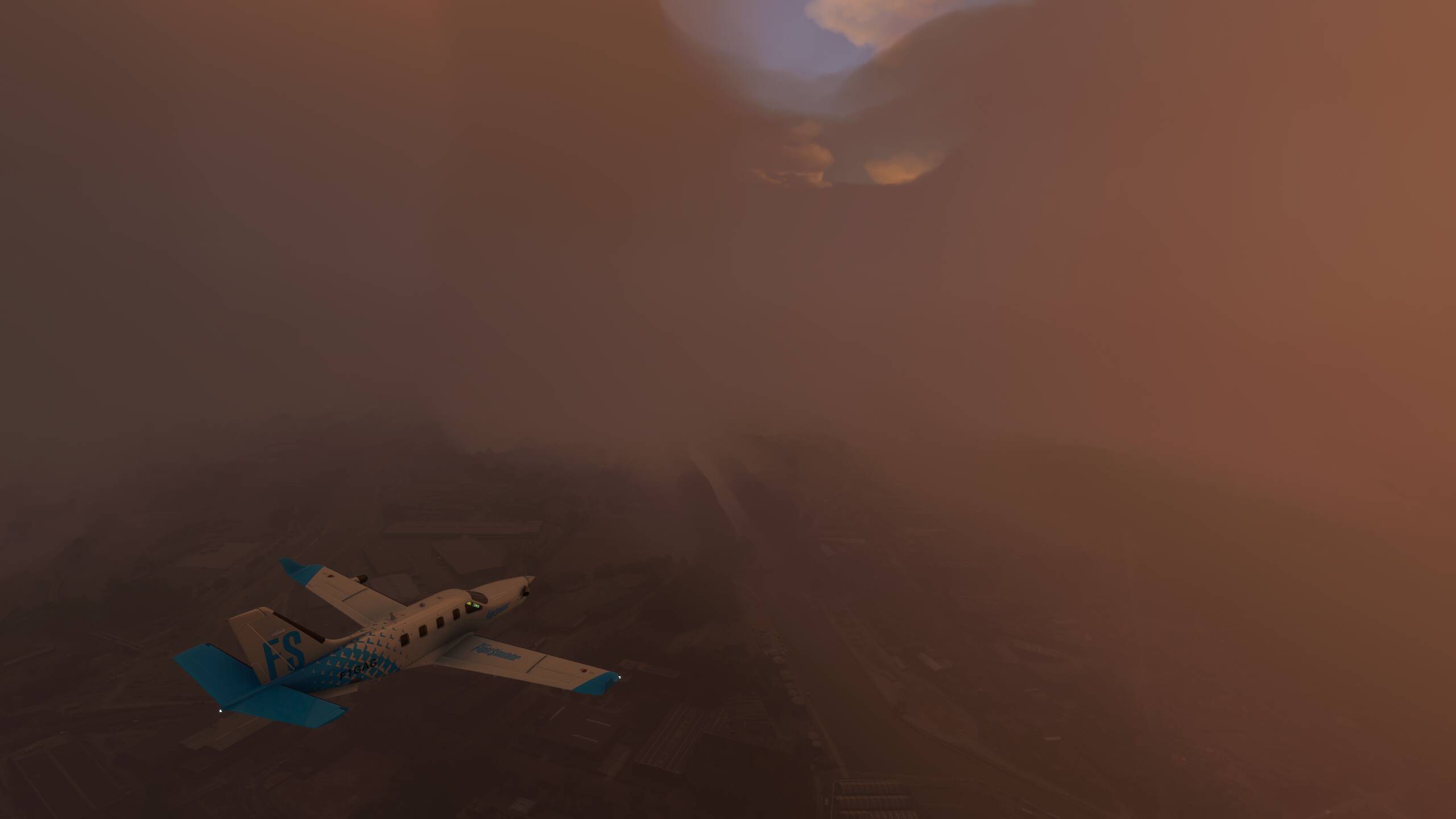
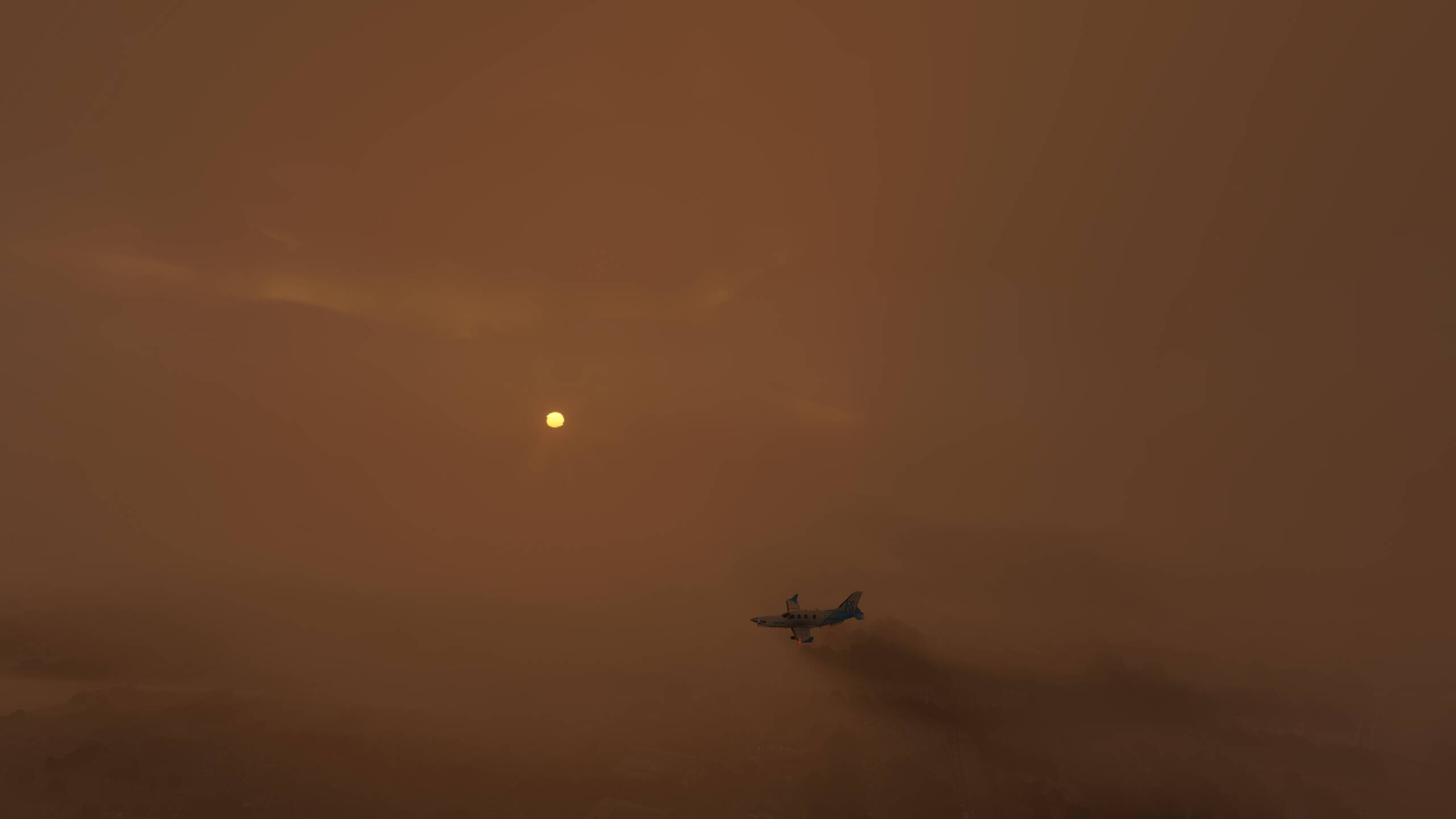
Unfortunately, the weather in Courchevel today is best described as “foul”
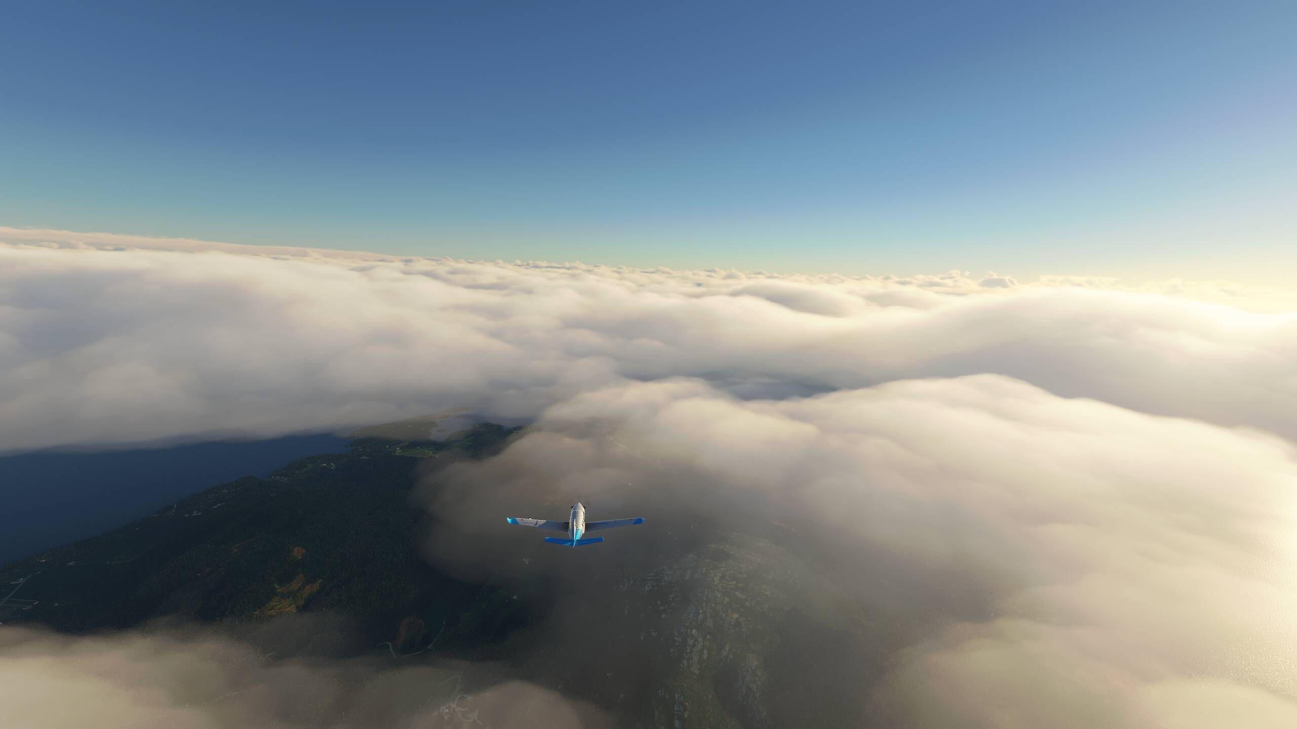
Well, if the weather doesn’t improve, we won’t be seeing too many of the sights we’ve picked out!
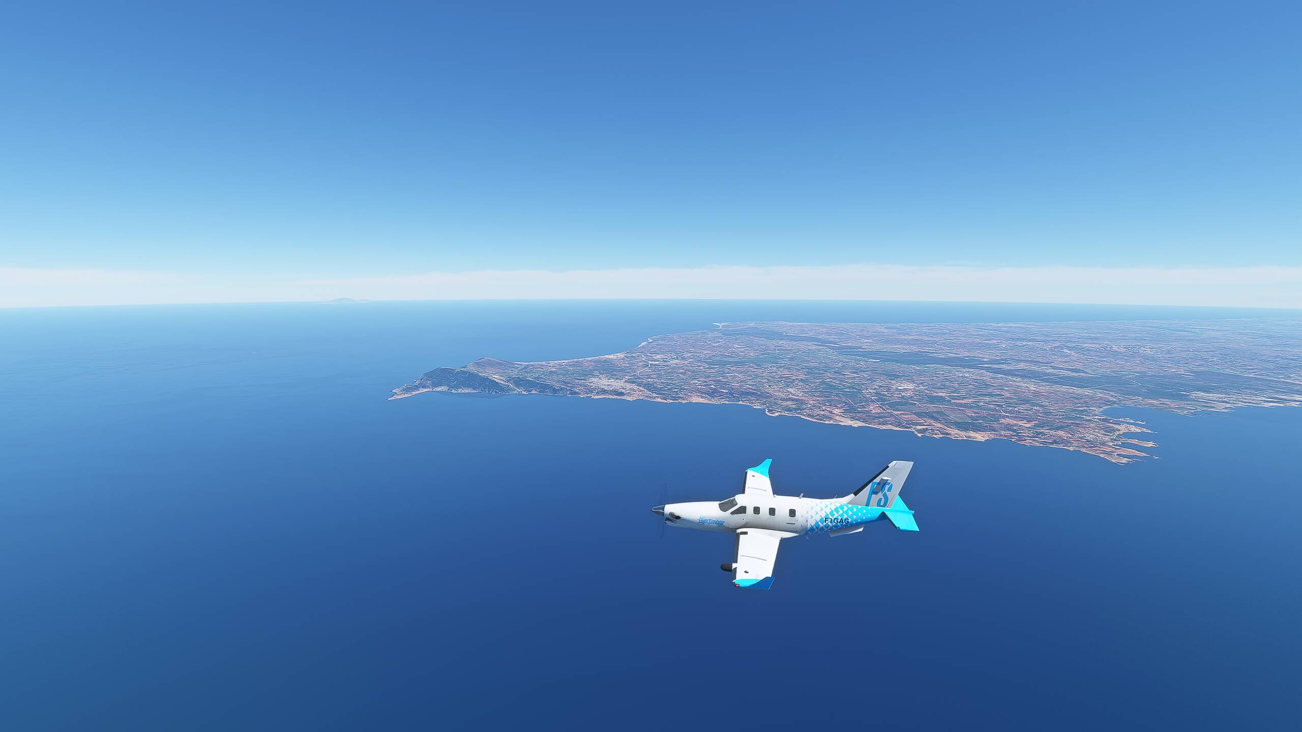
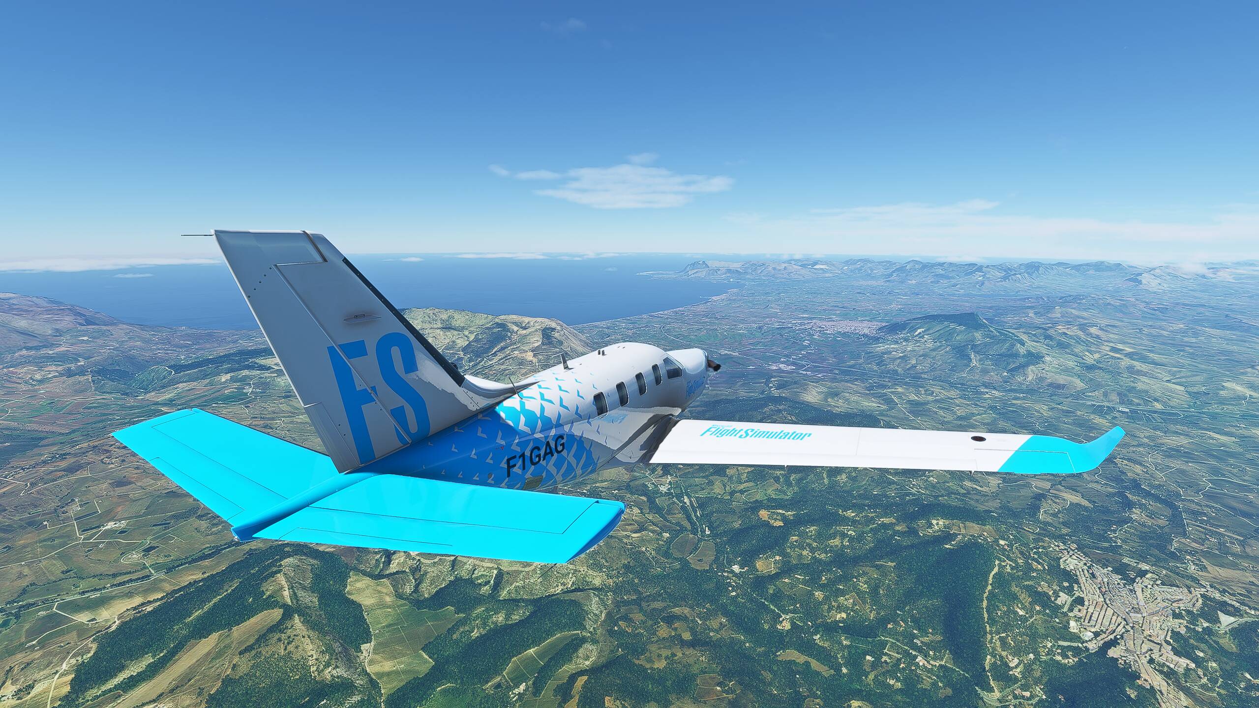
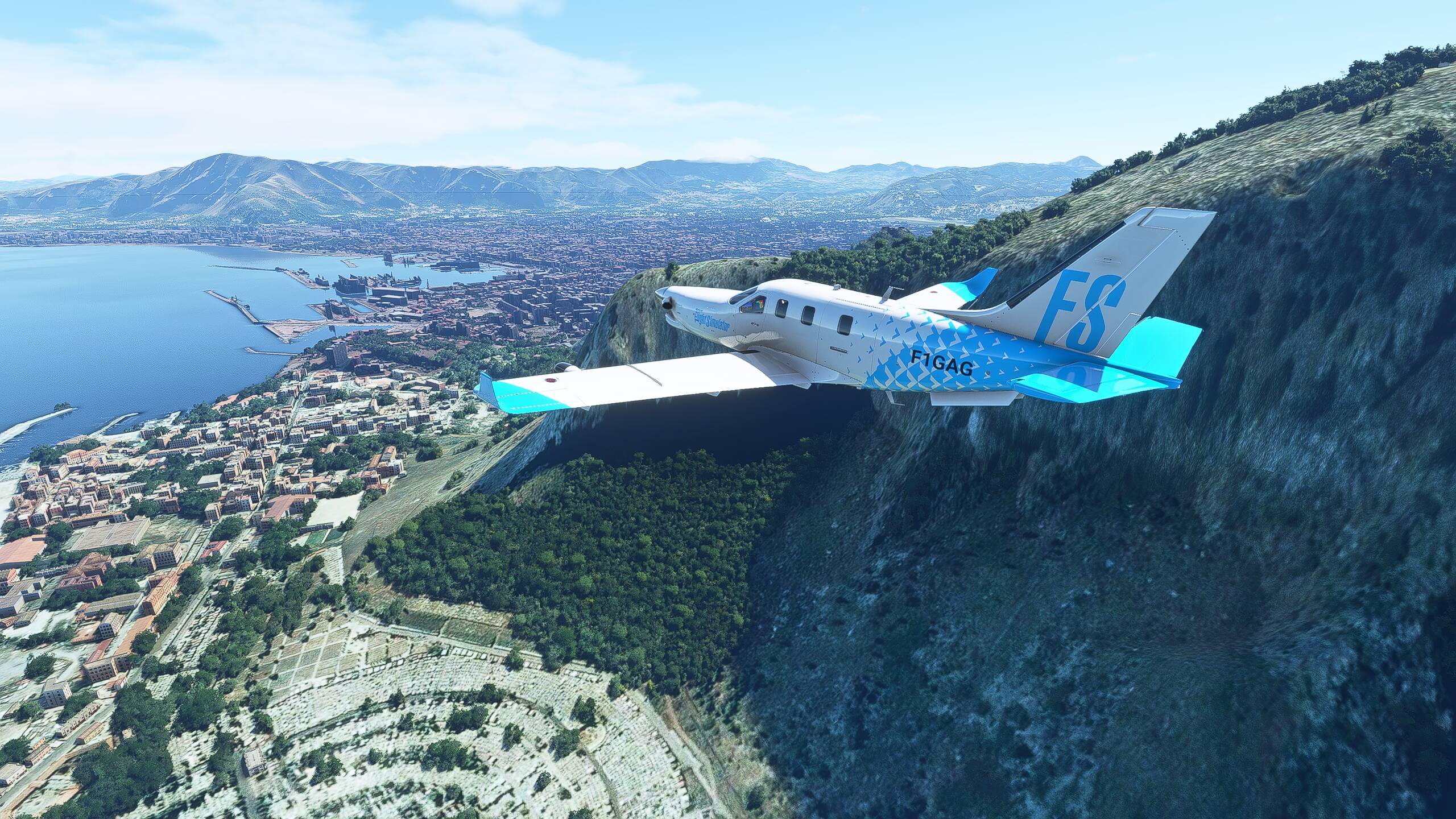
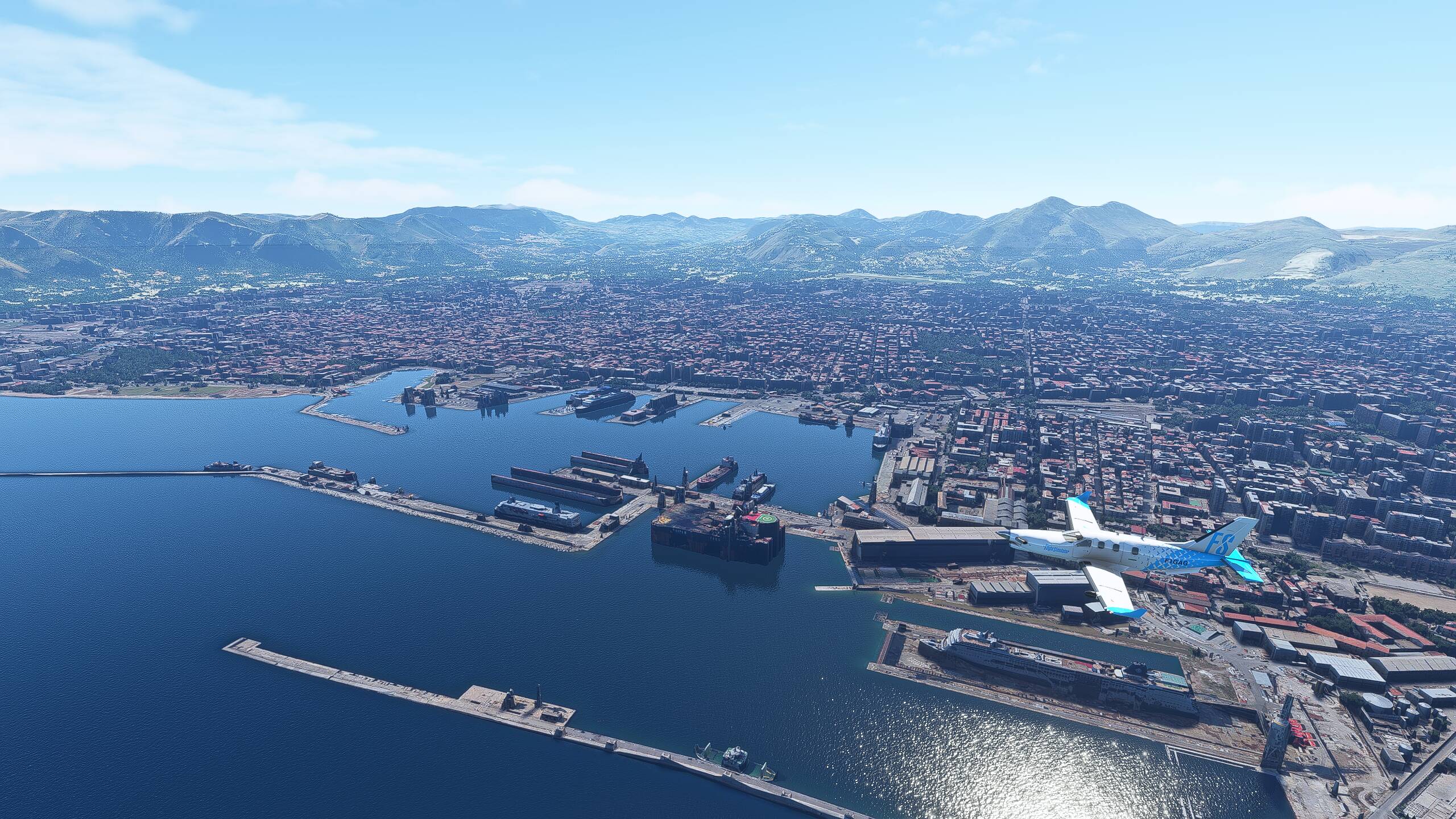
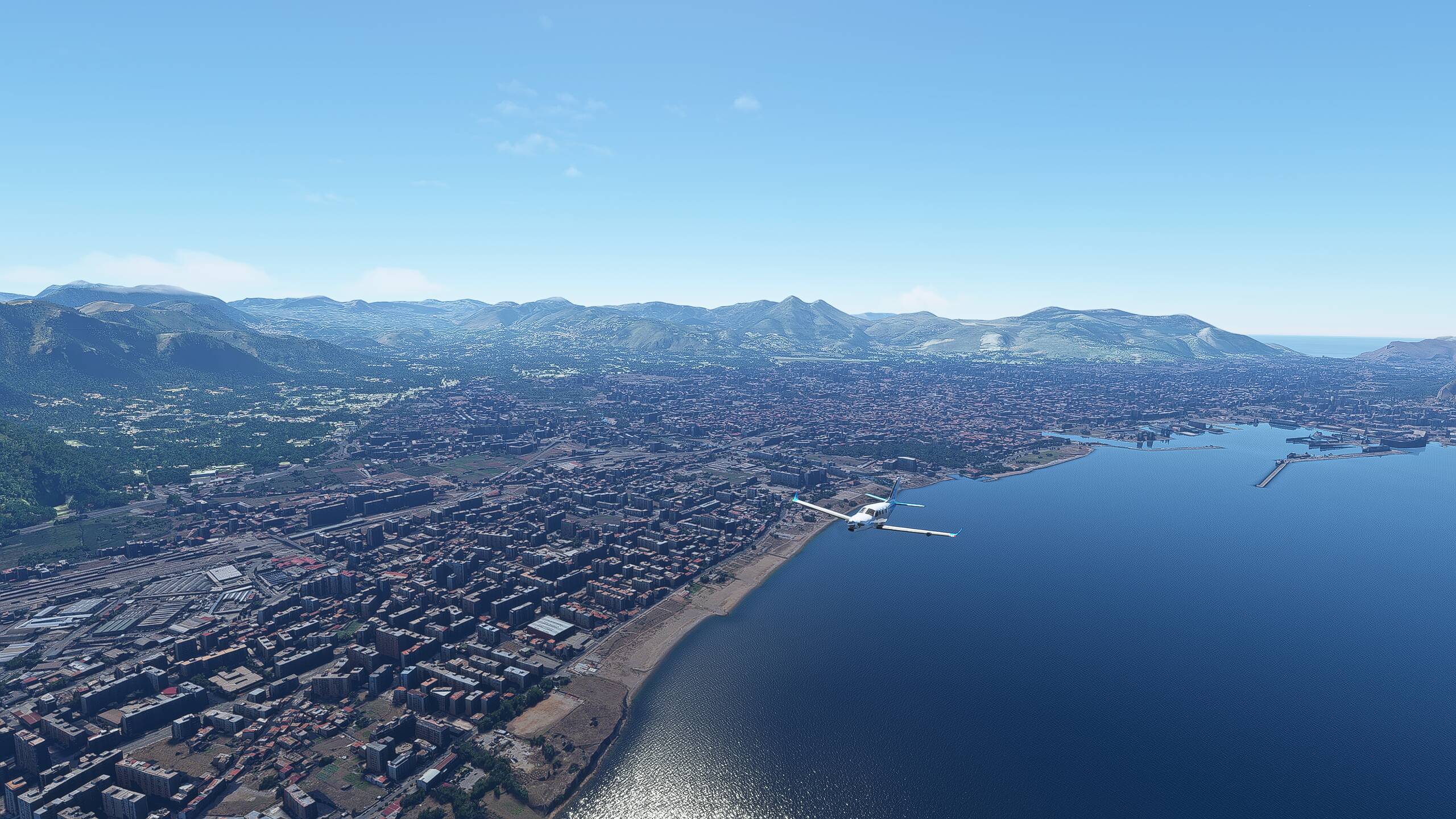
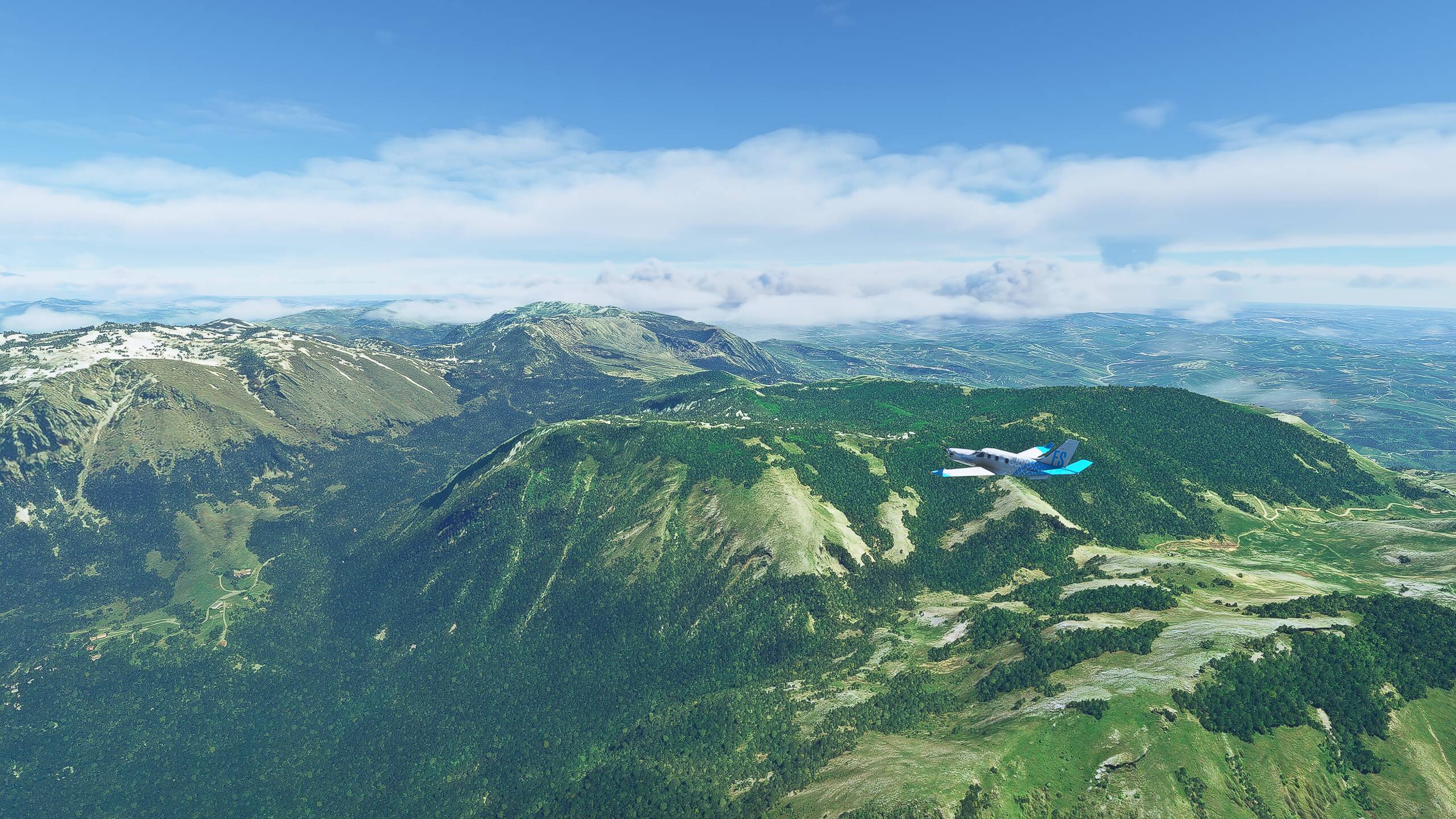
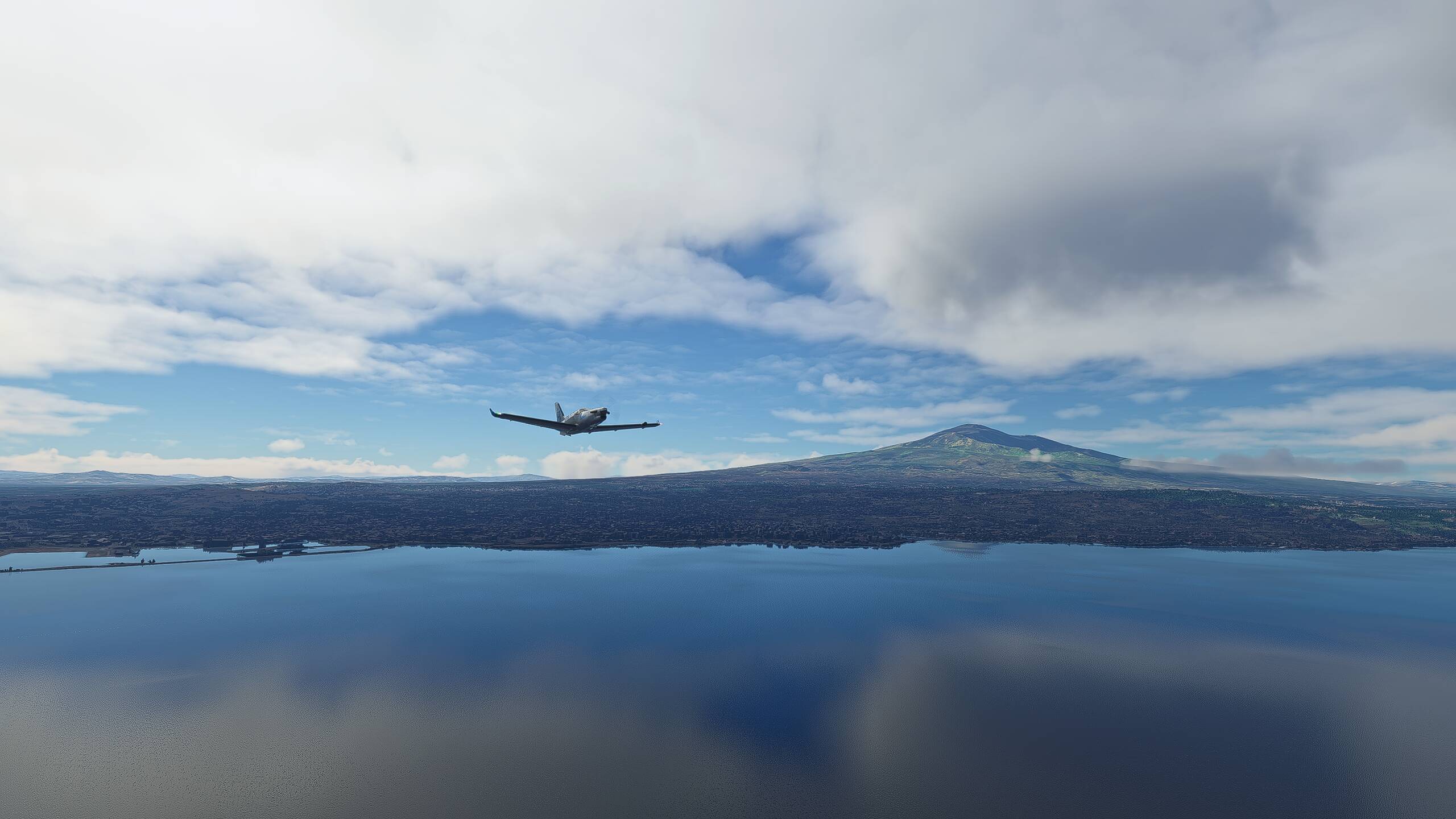
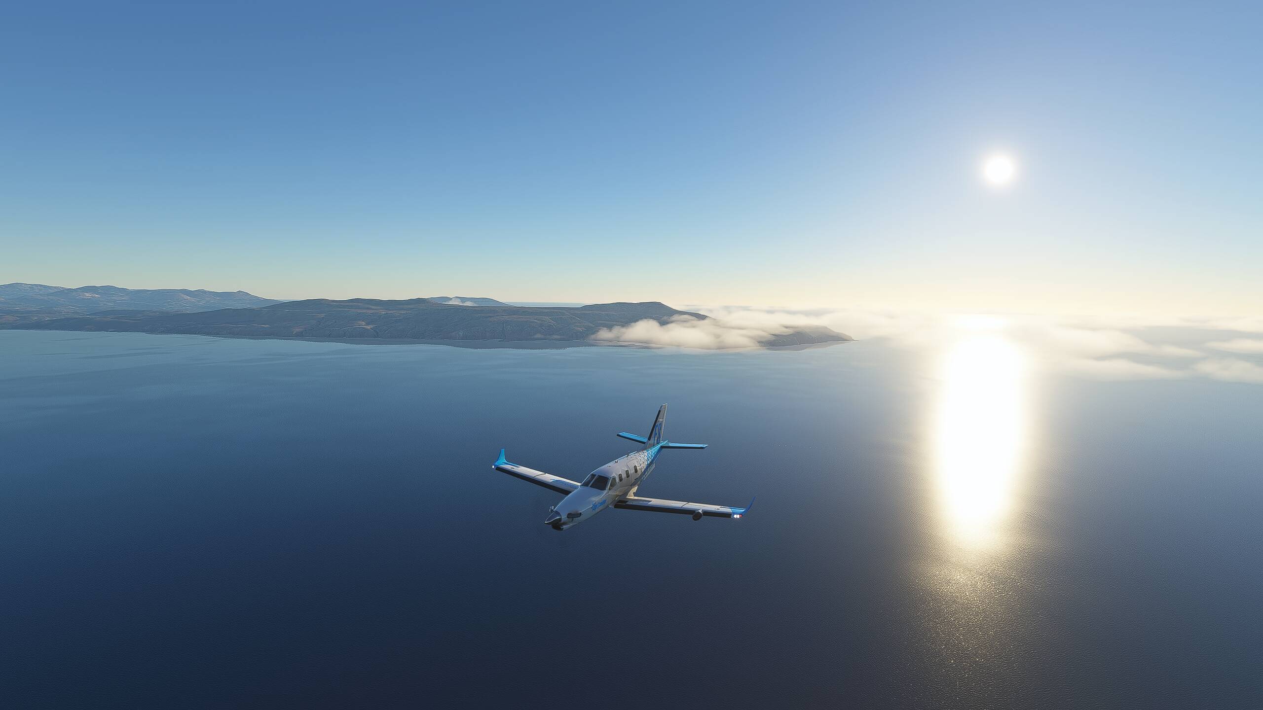
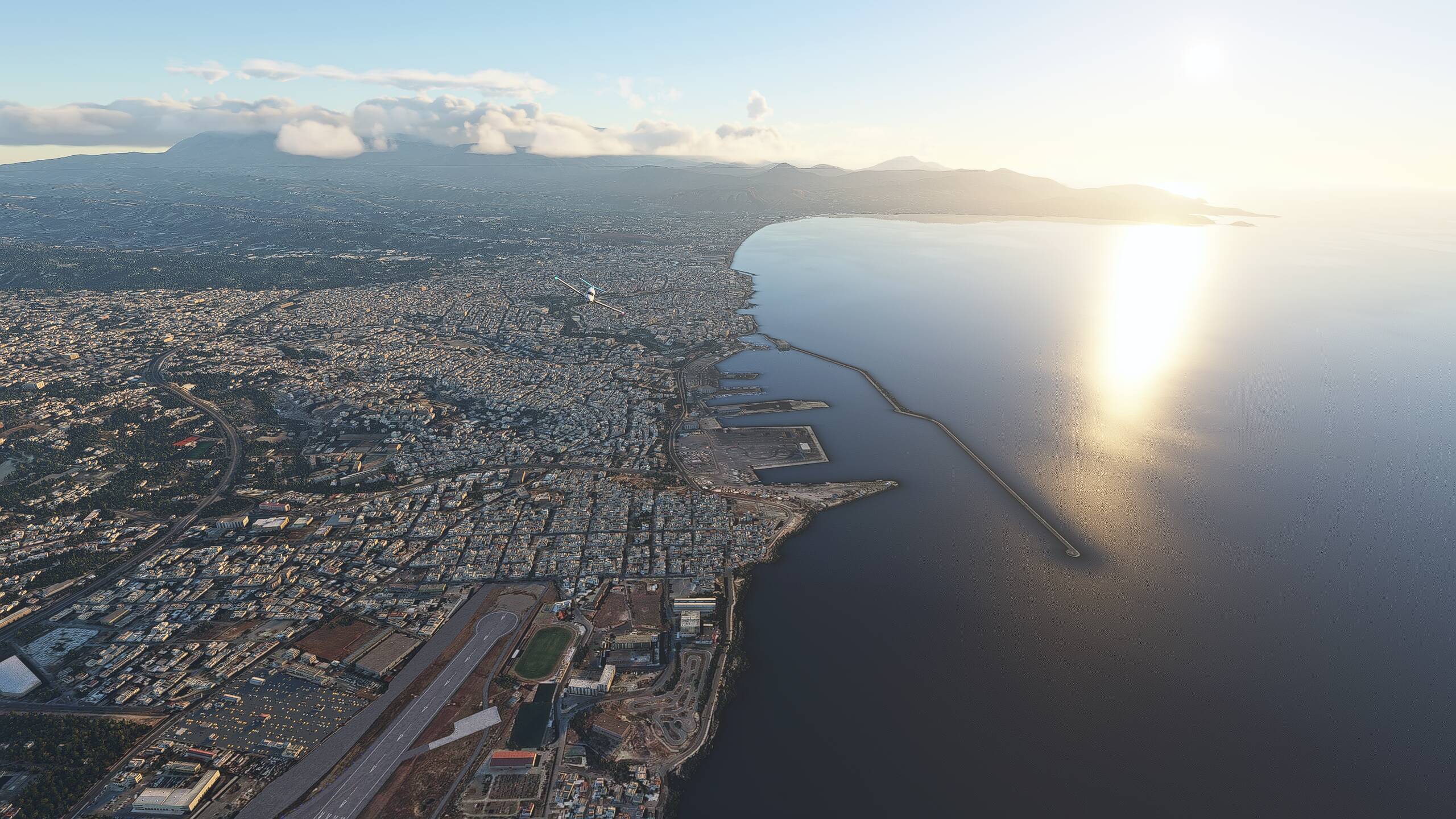
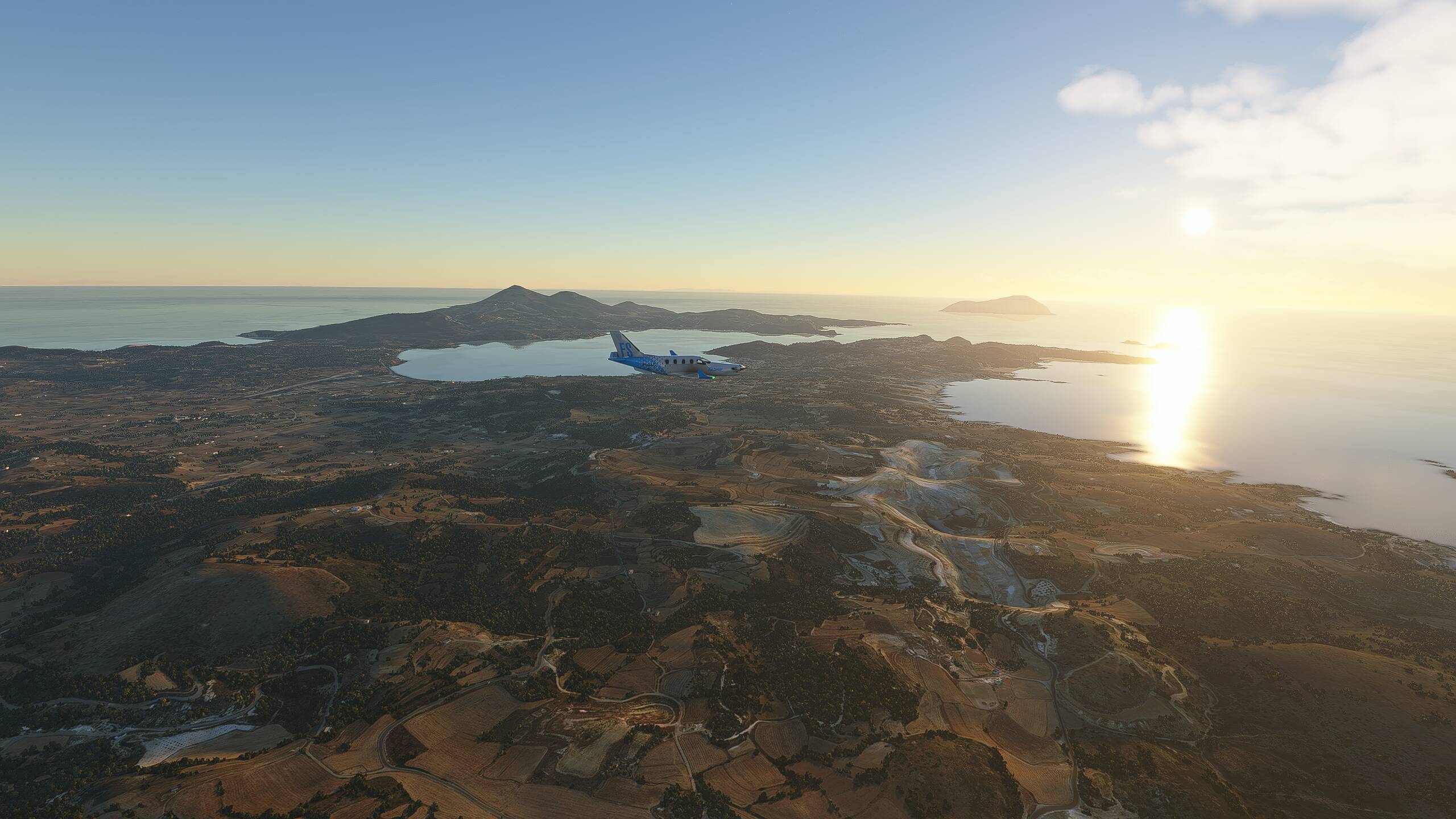
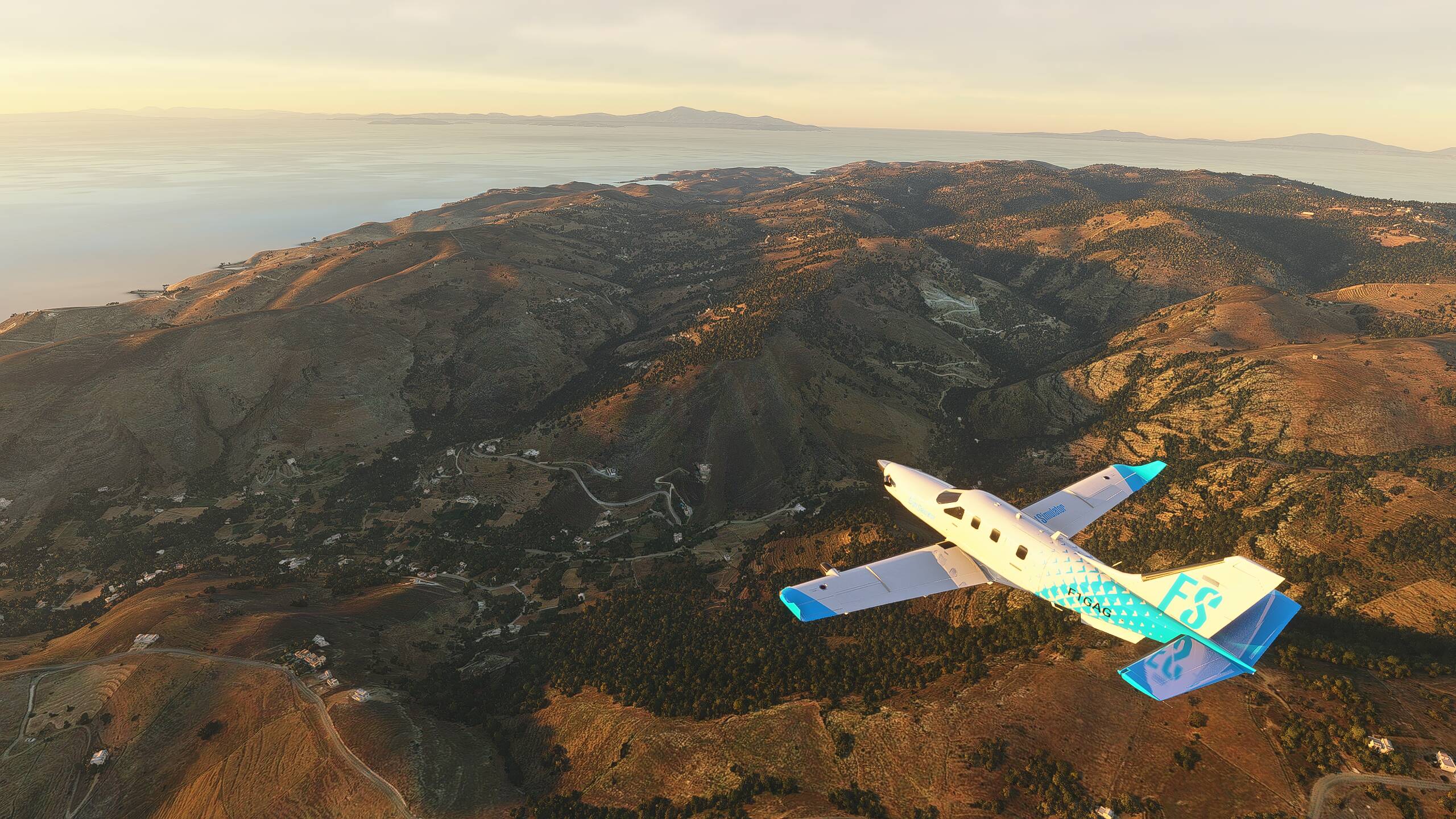
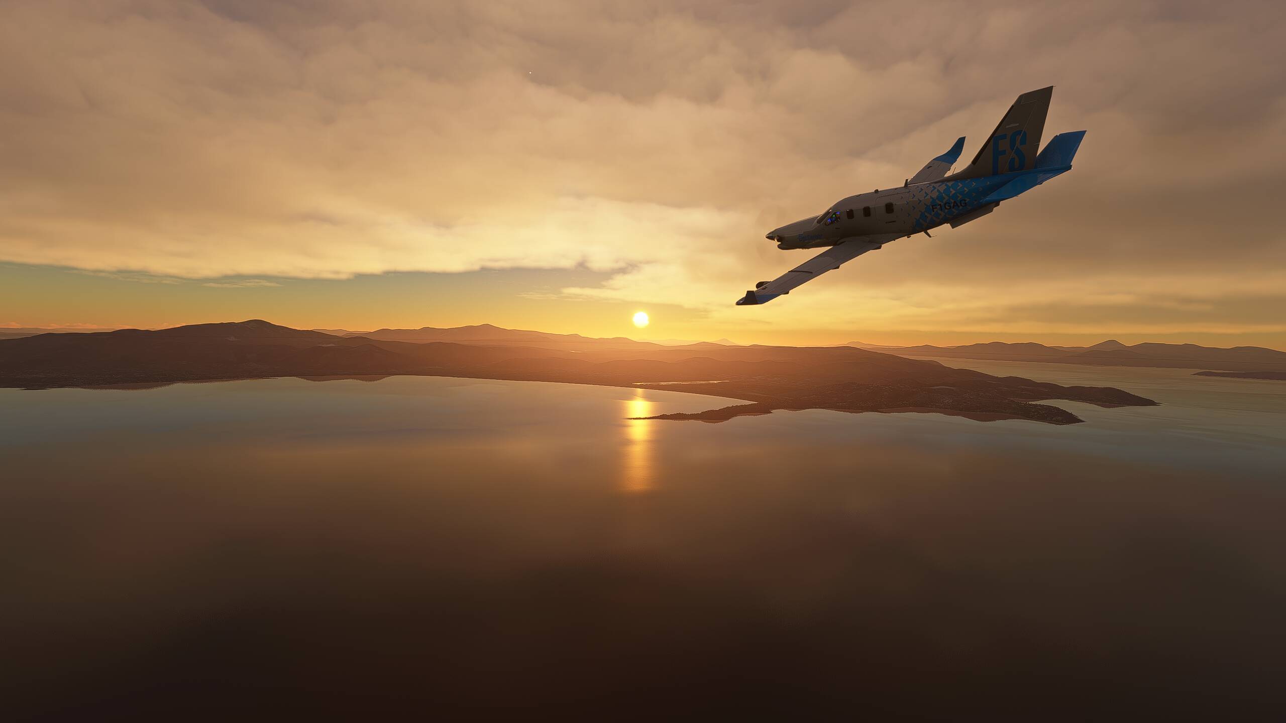
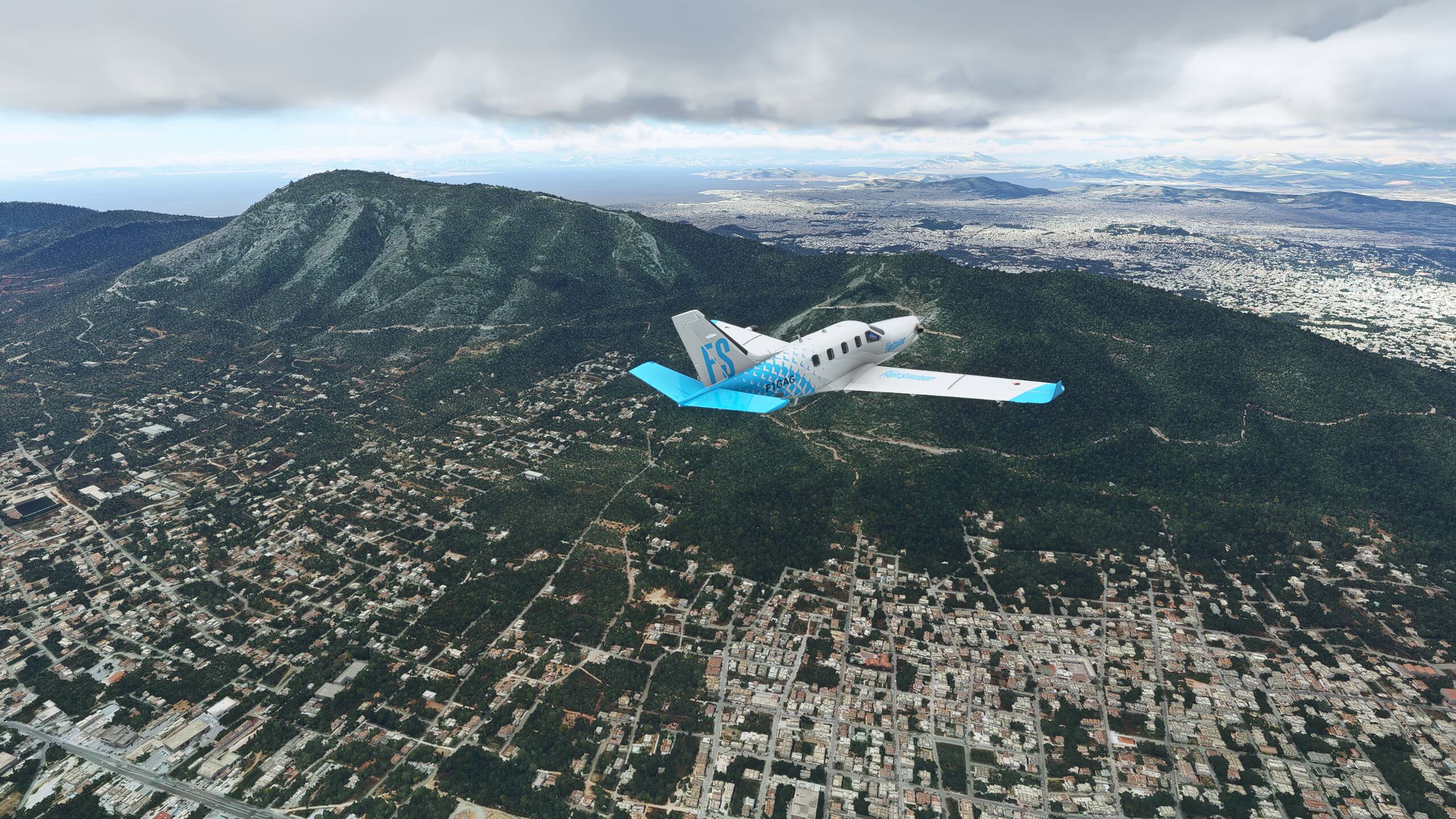
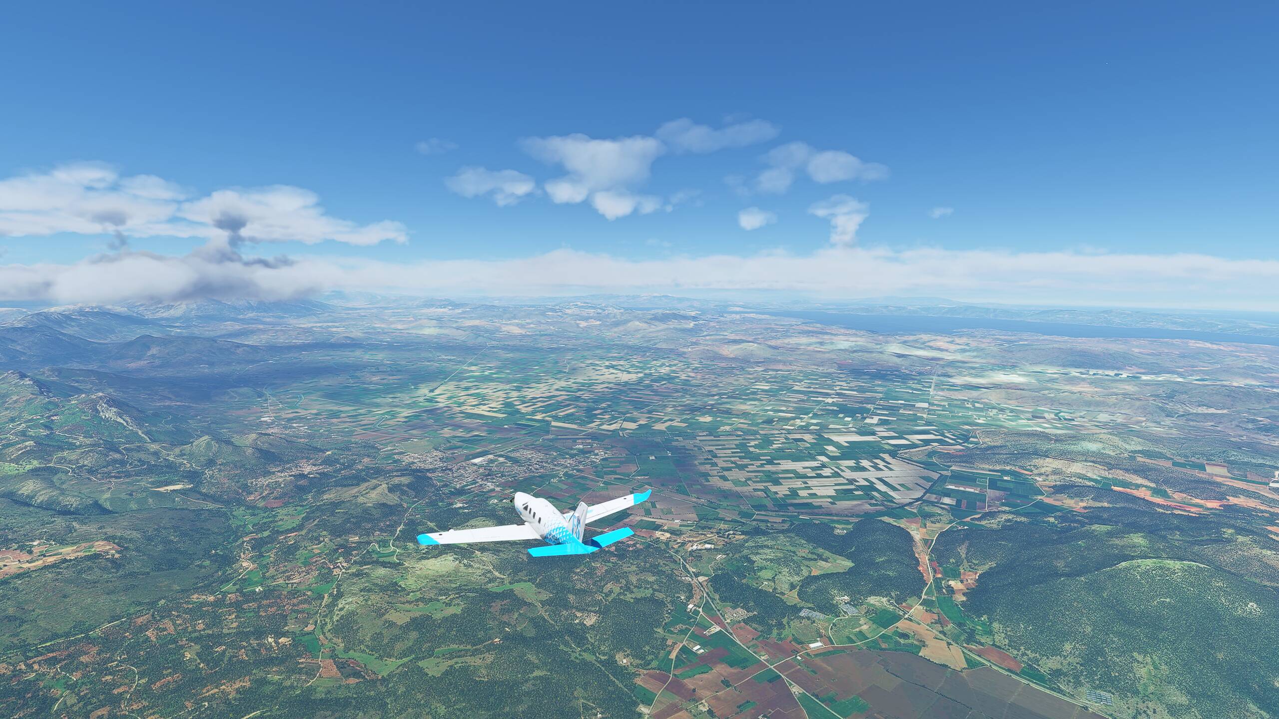
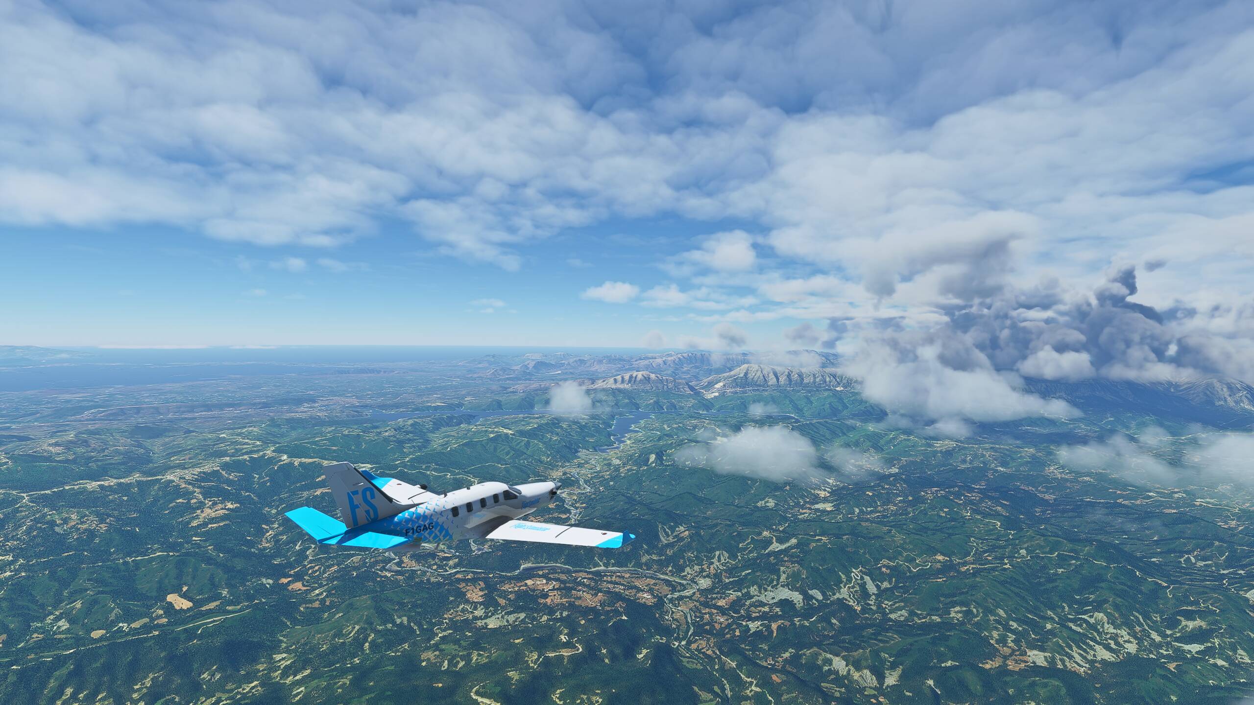
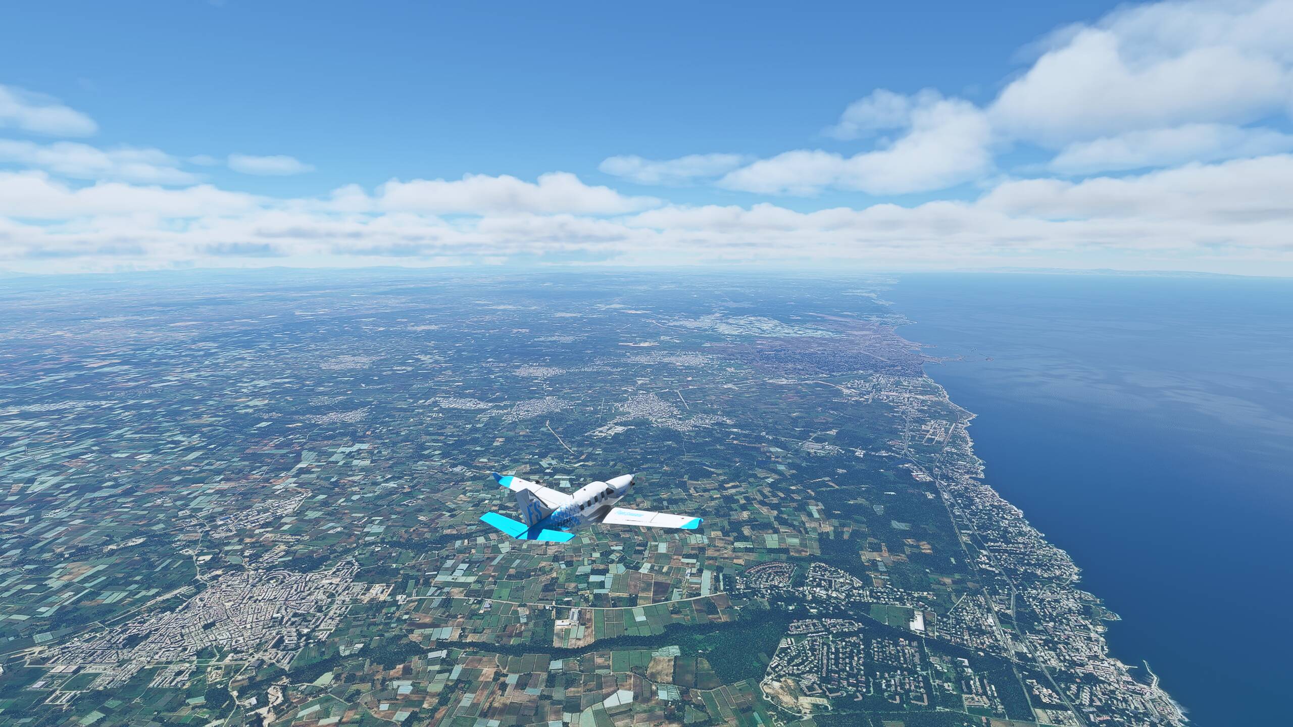
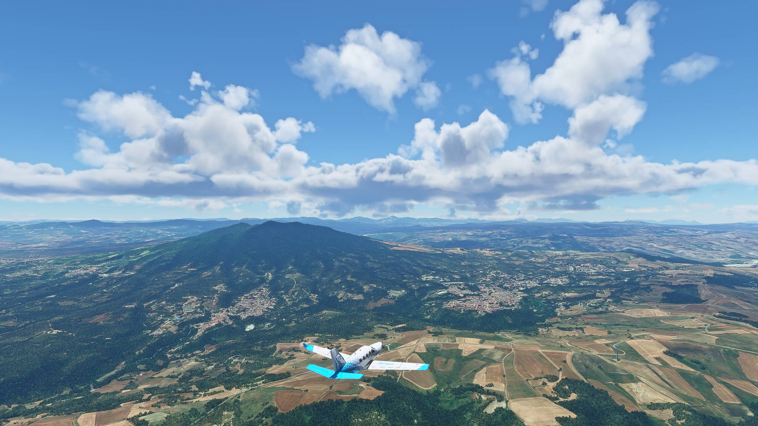
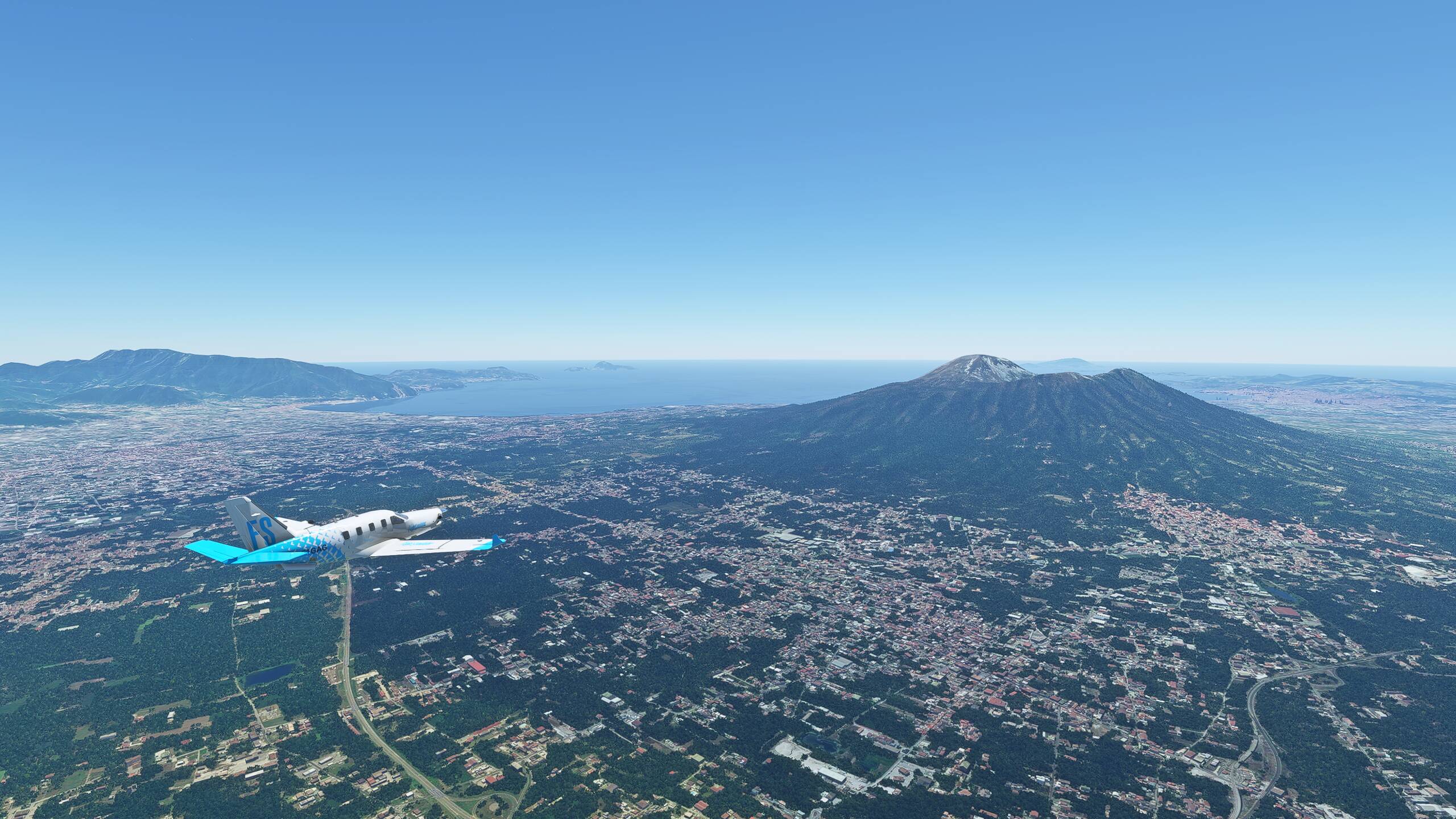
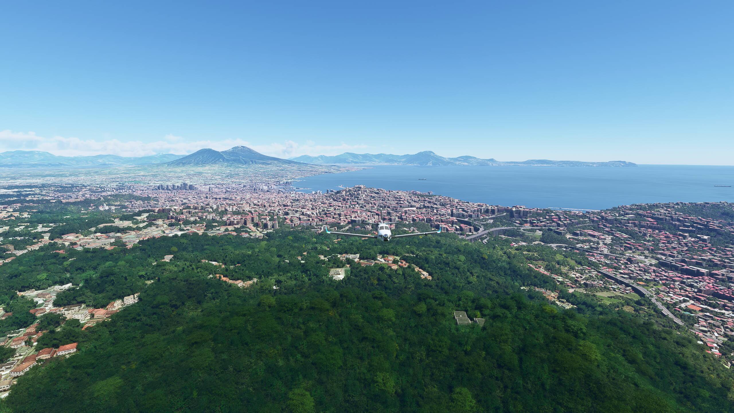
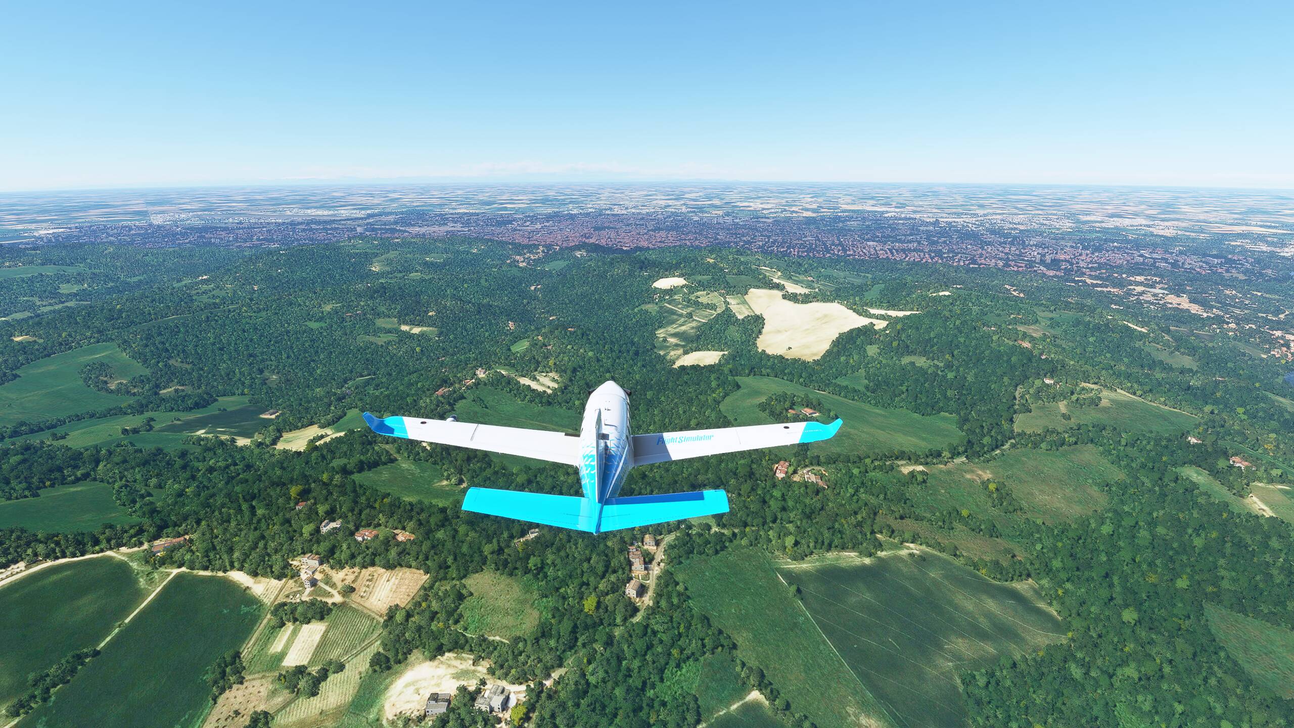
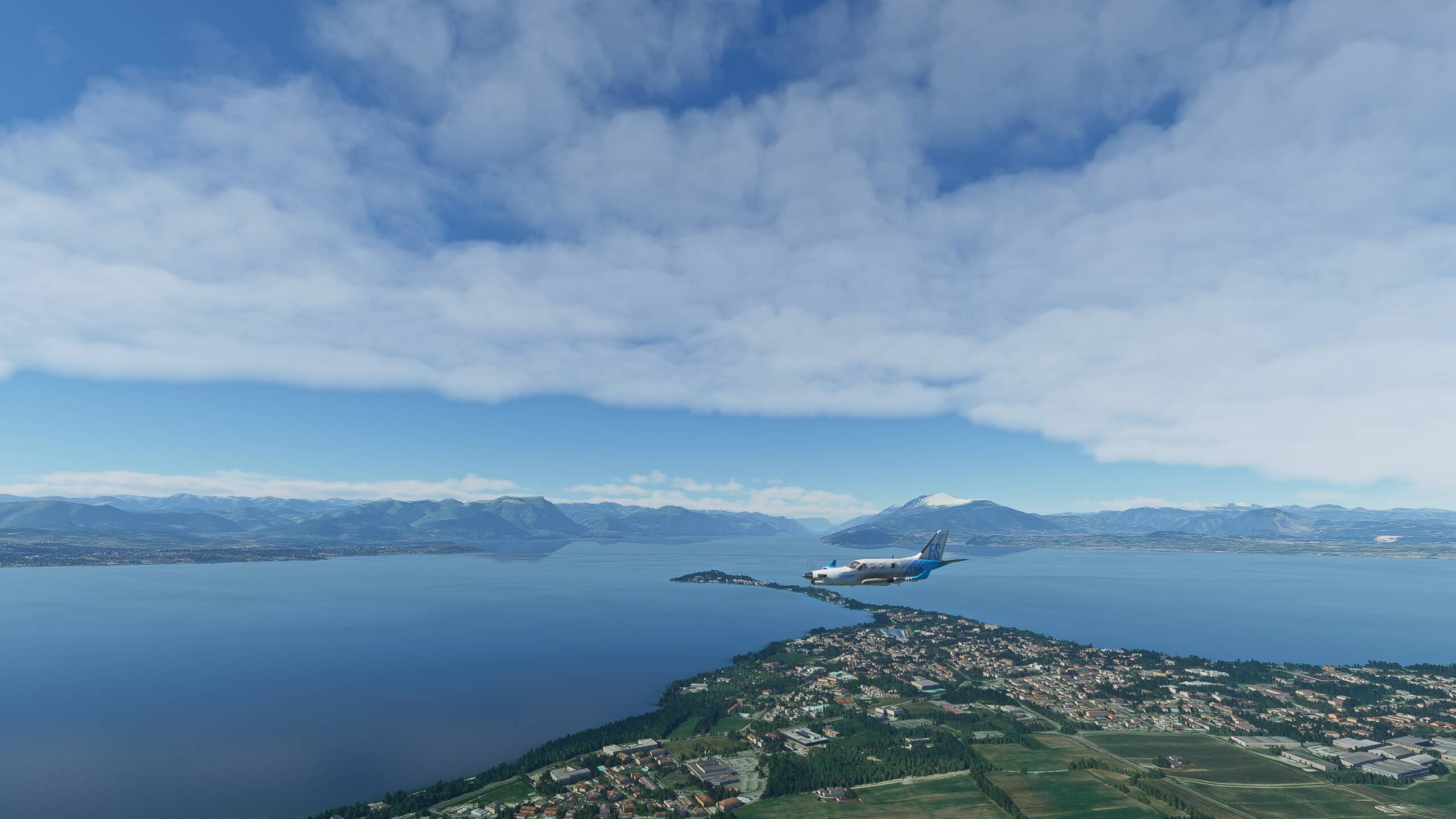
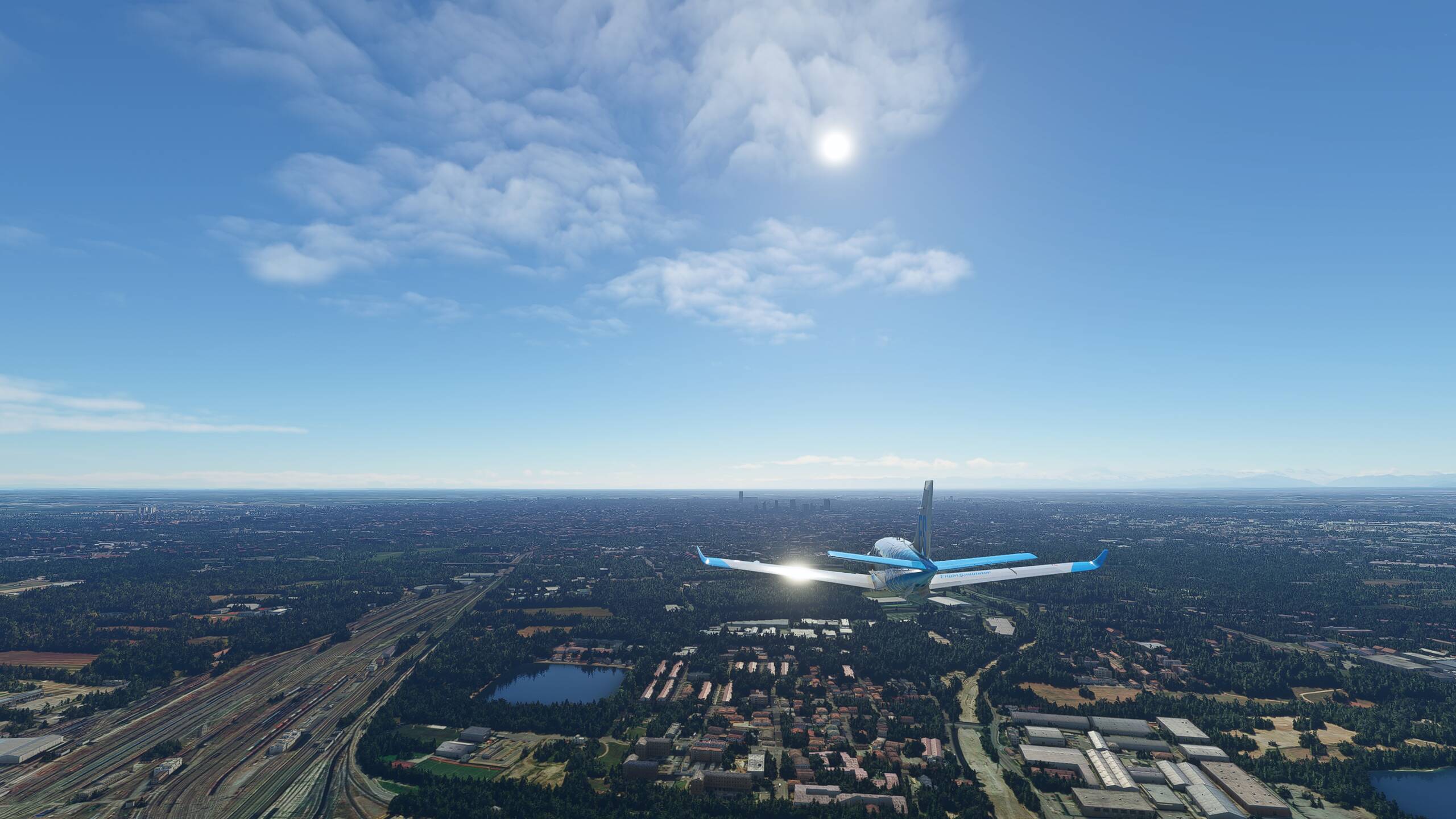
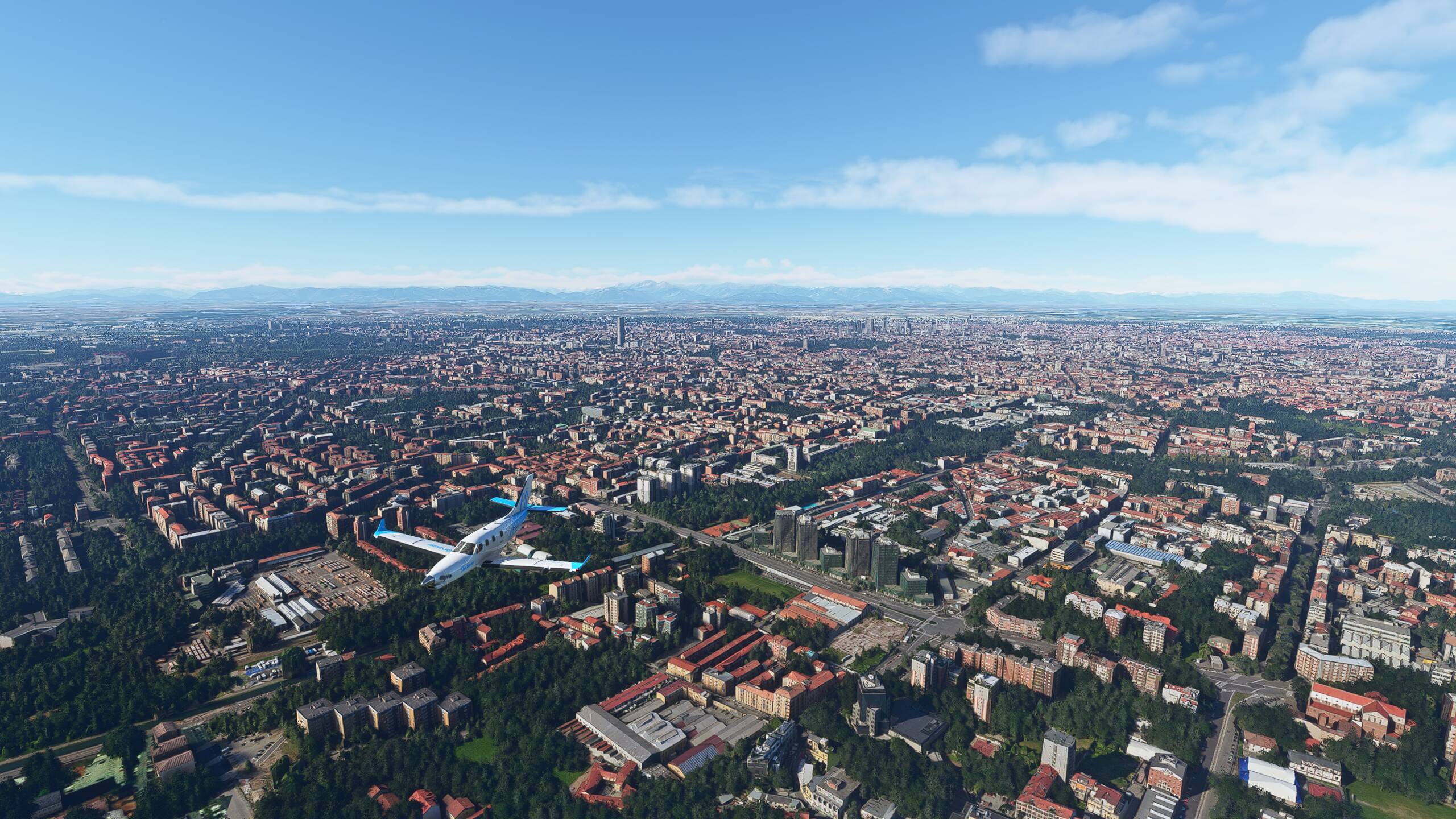
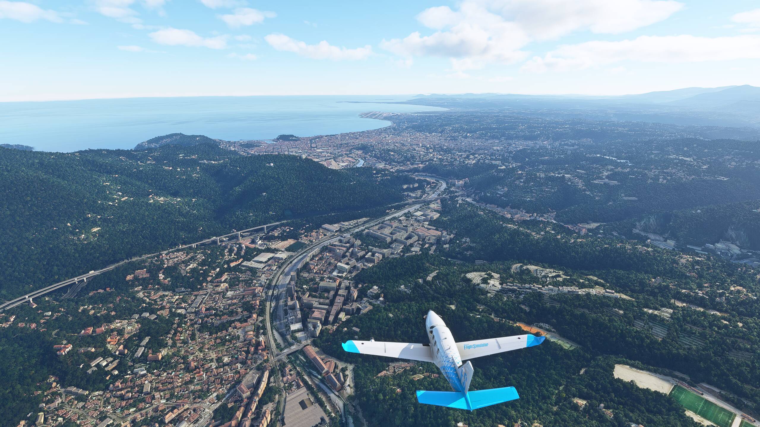
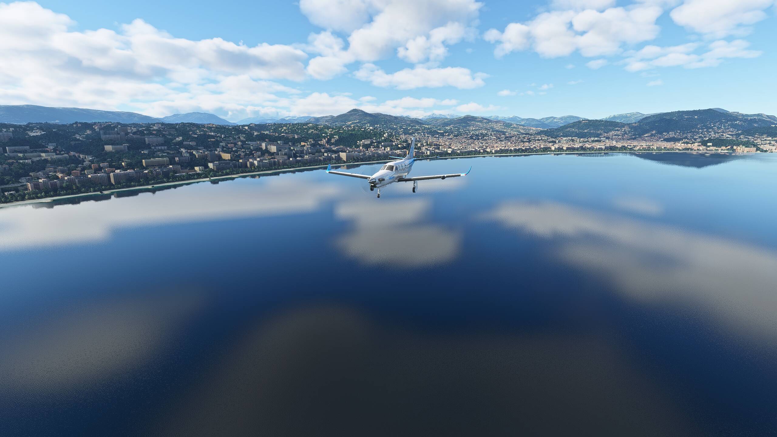
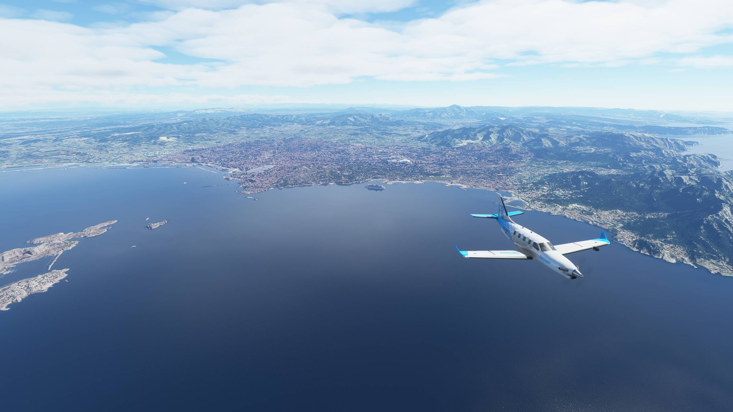
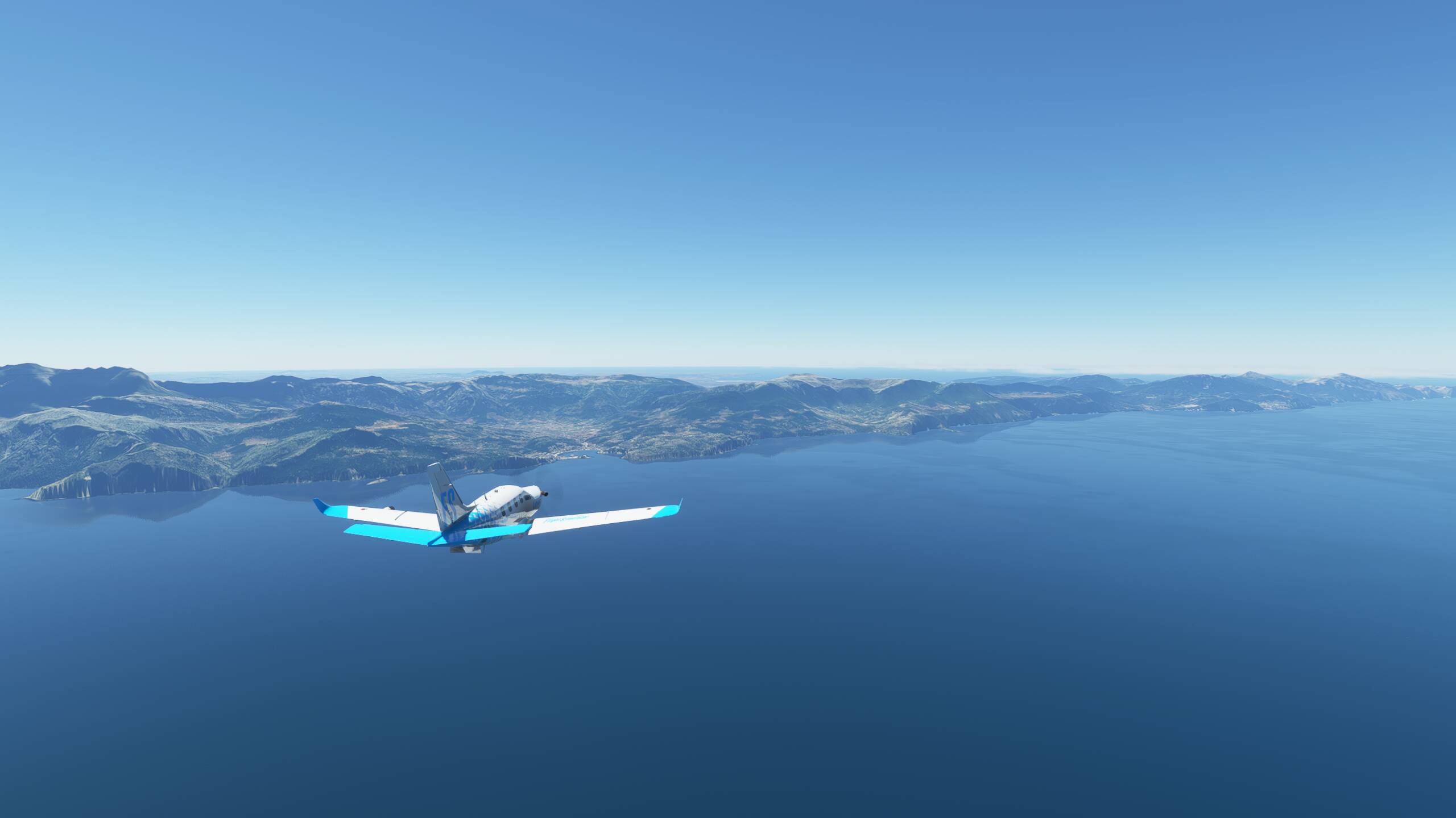
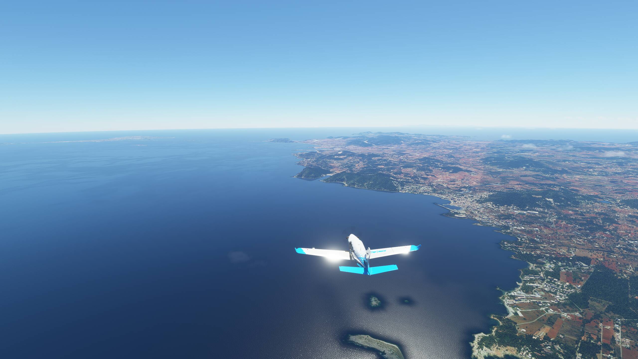
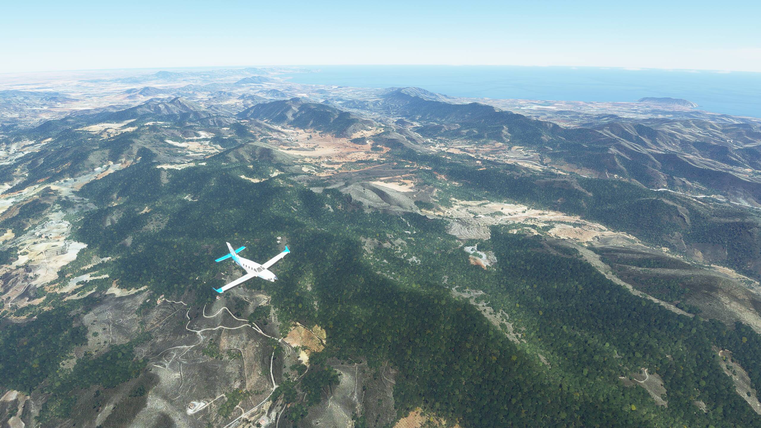
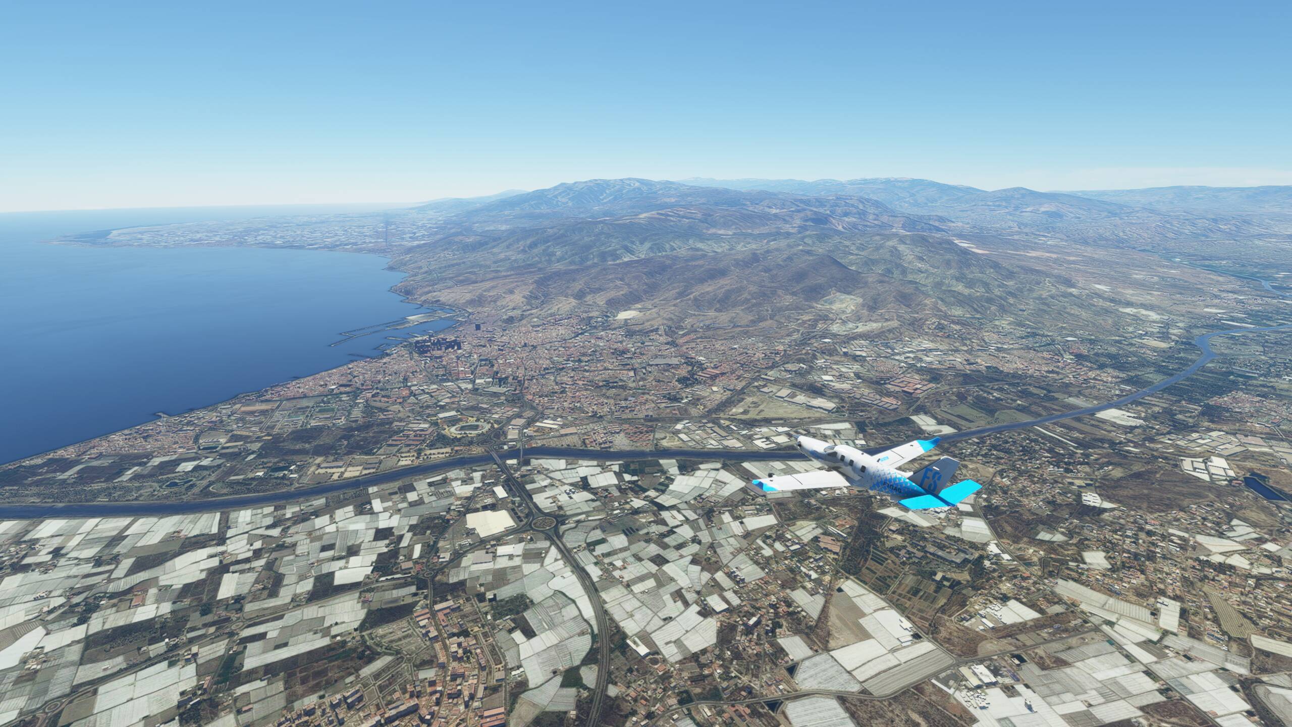
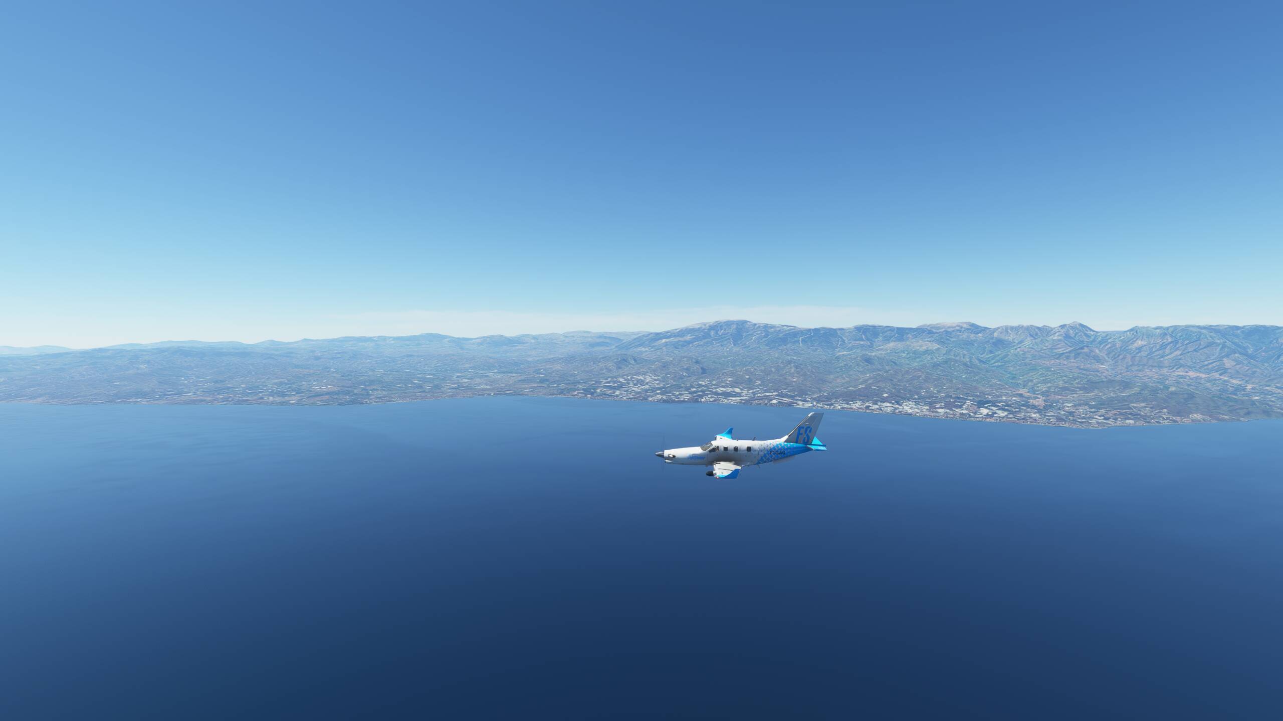
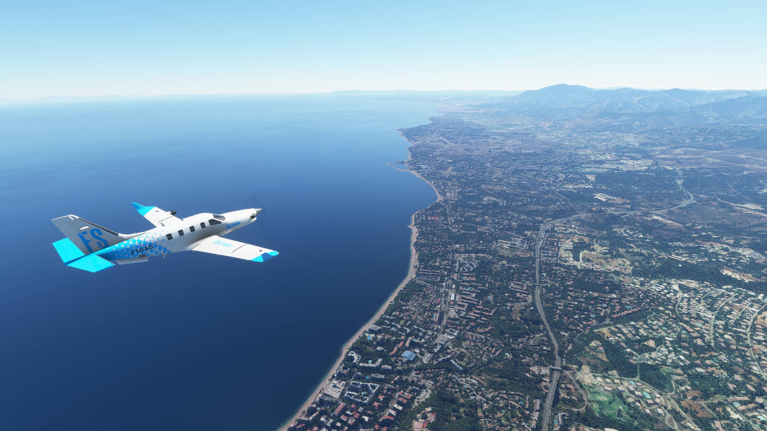
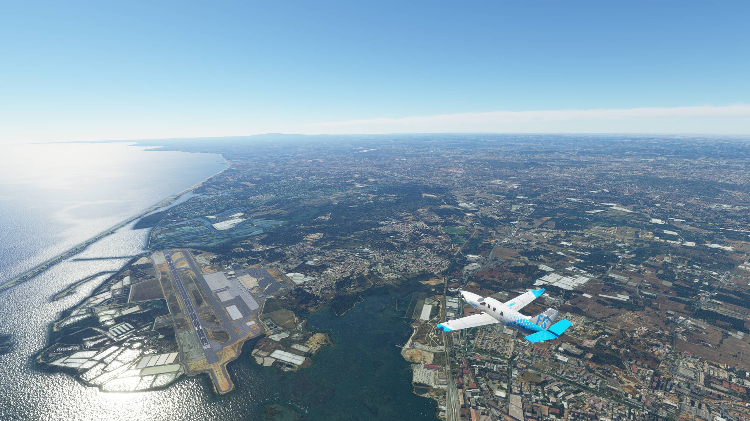
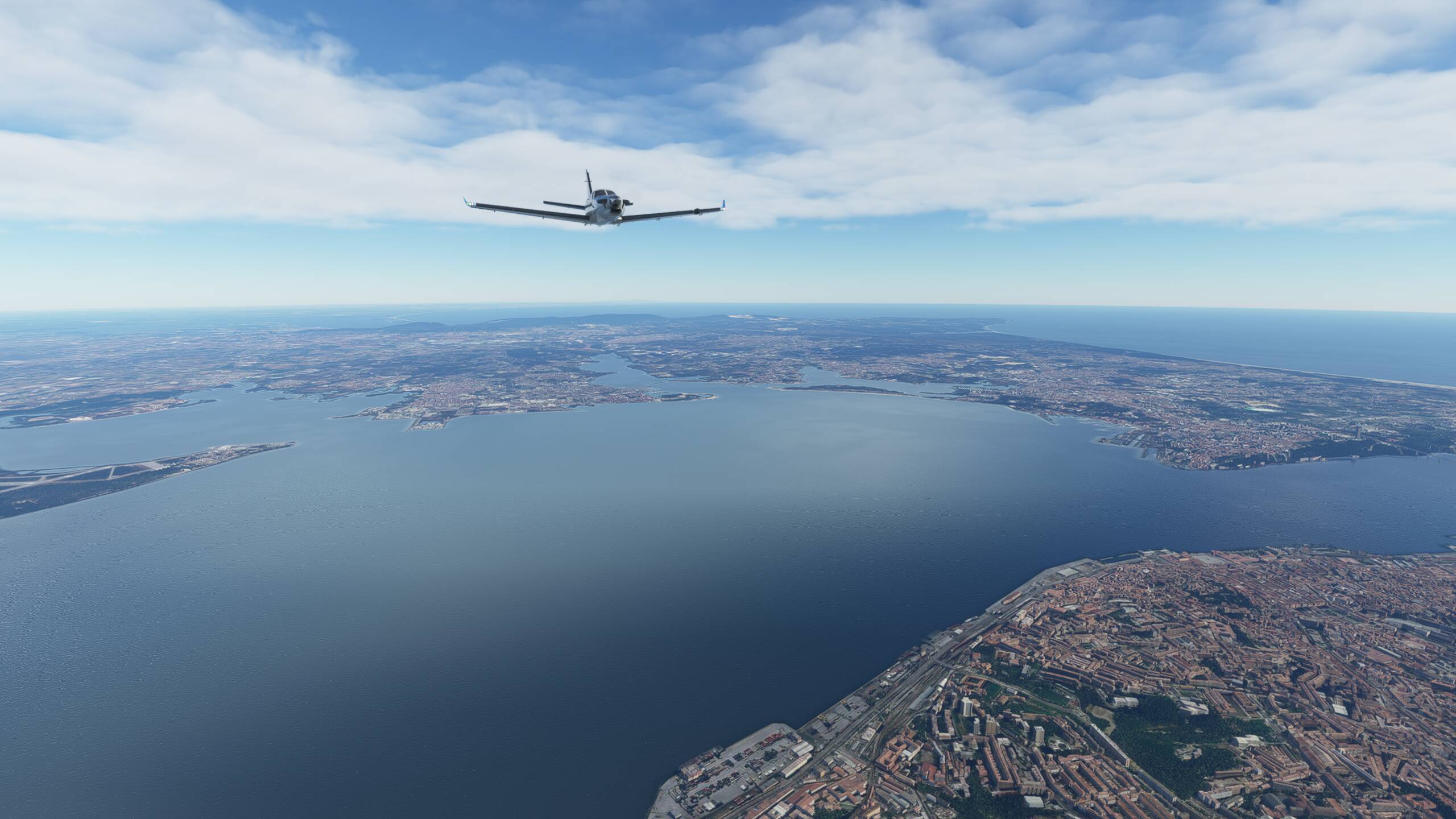
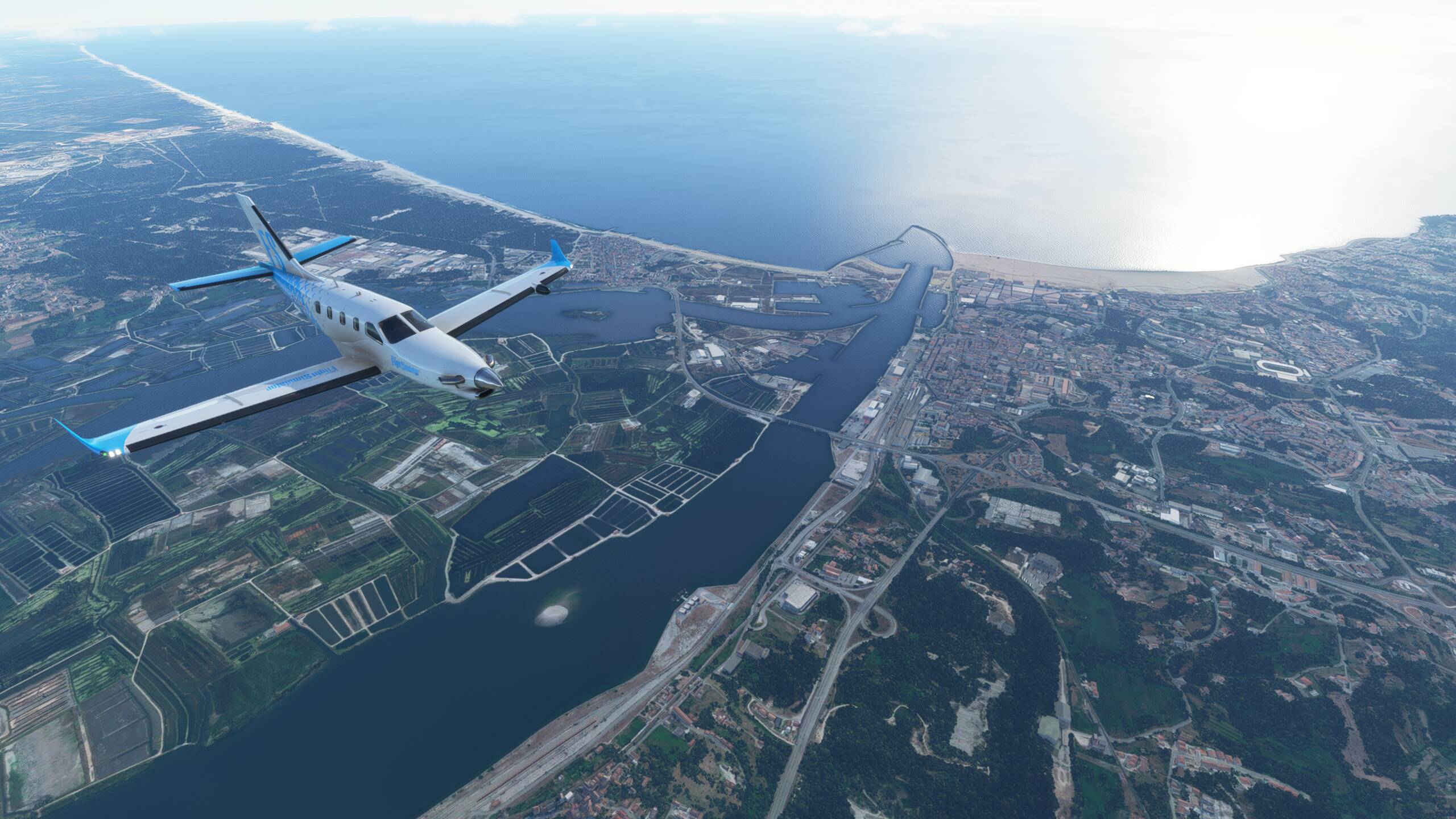
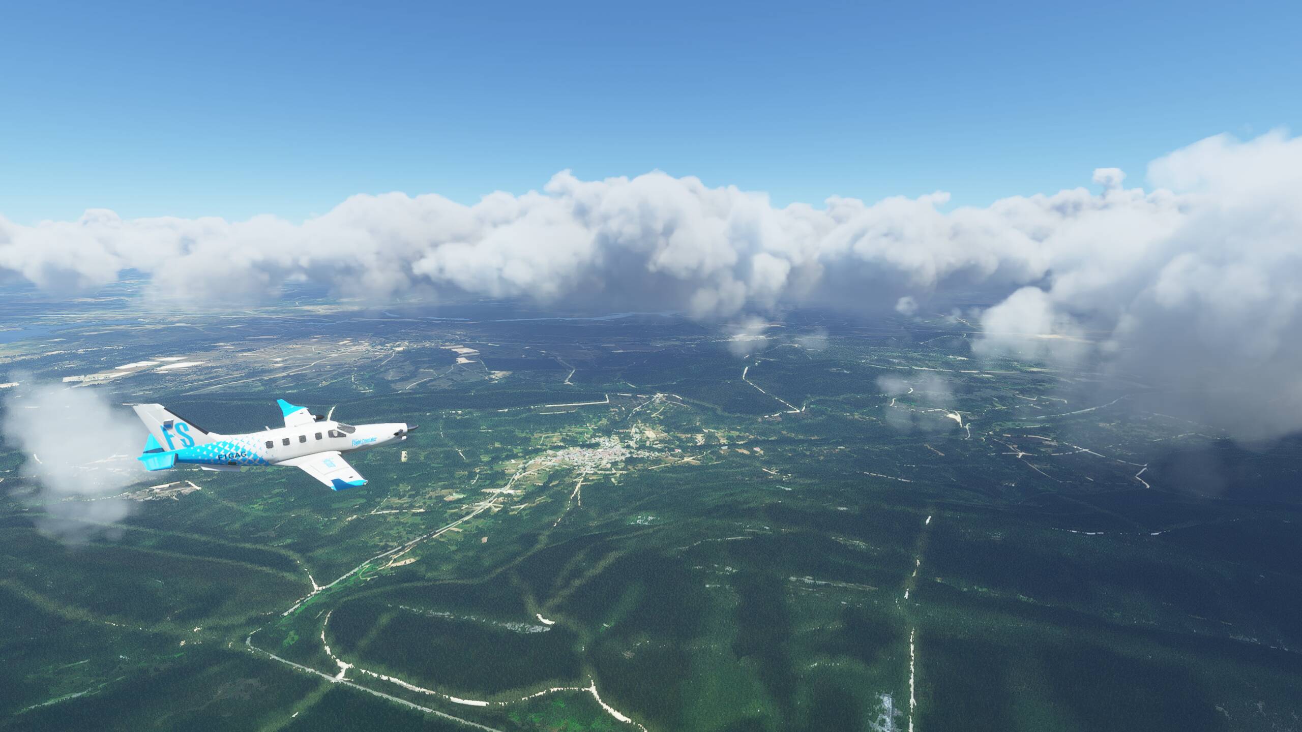
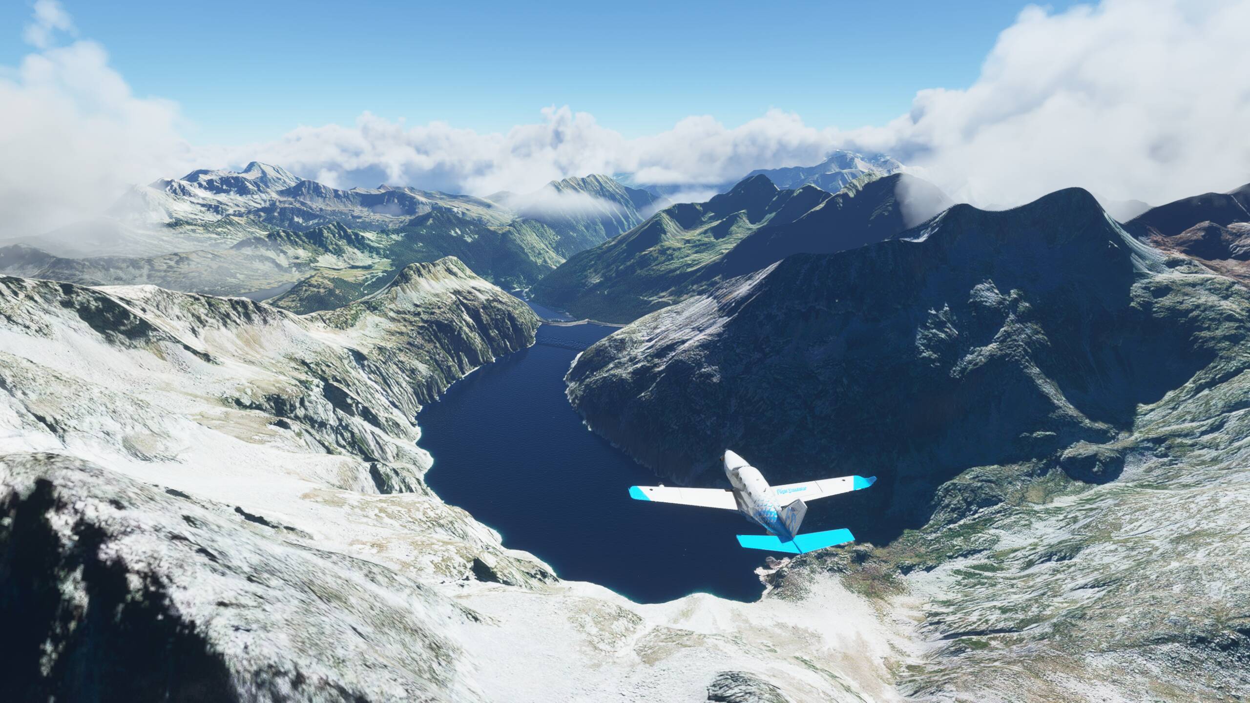
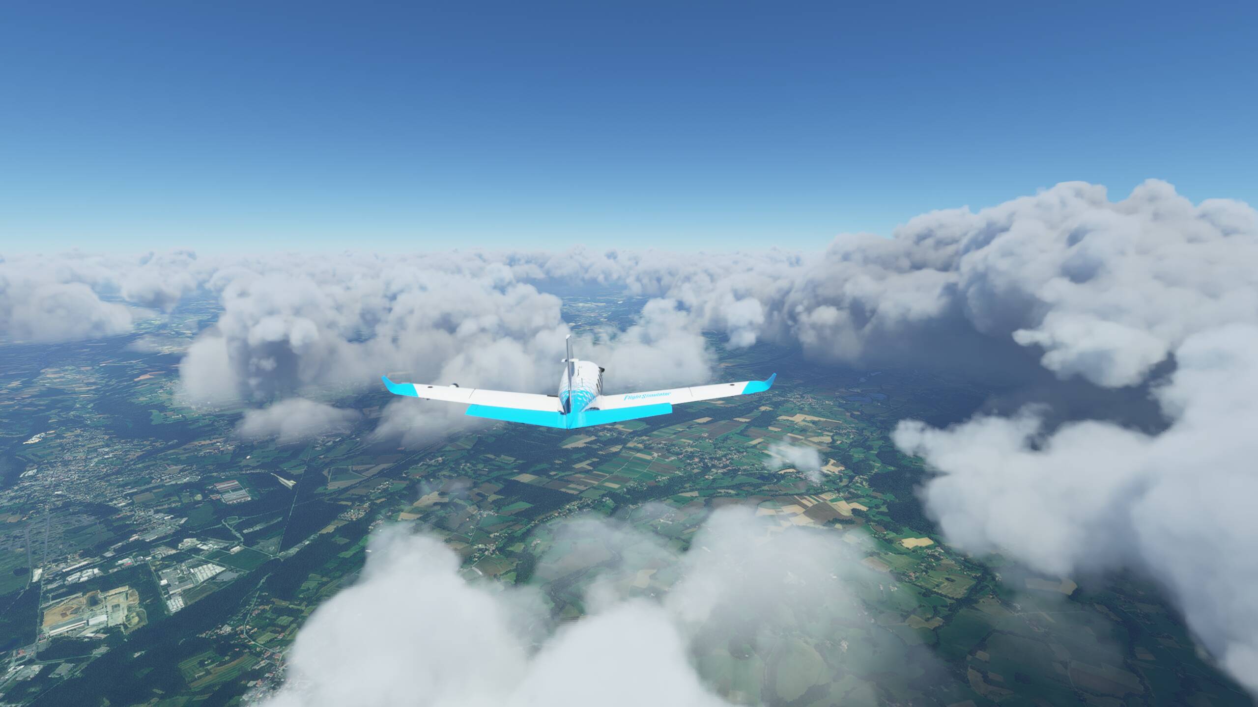
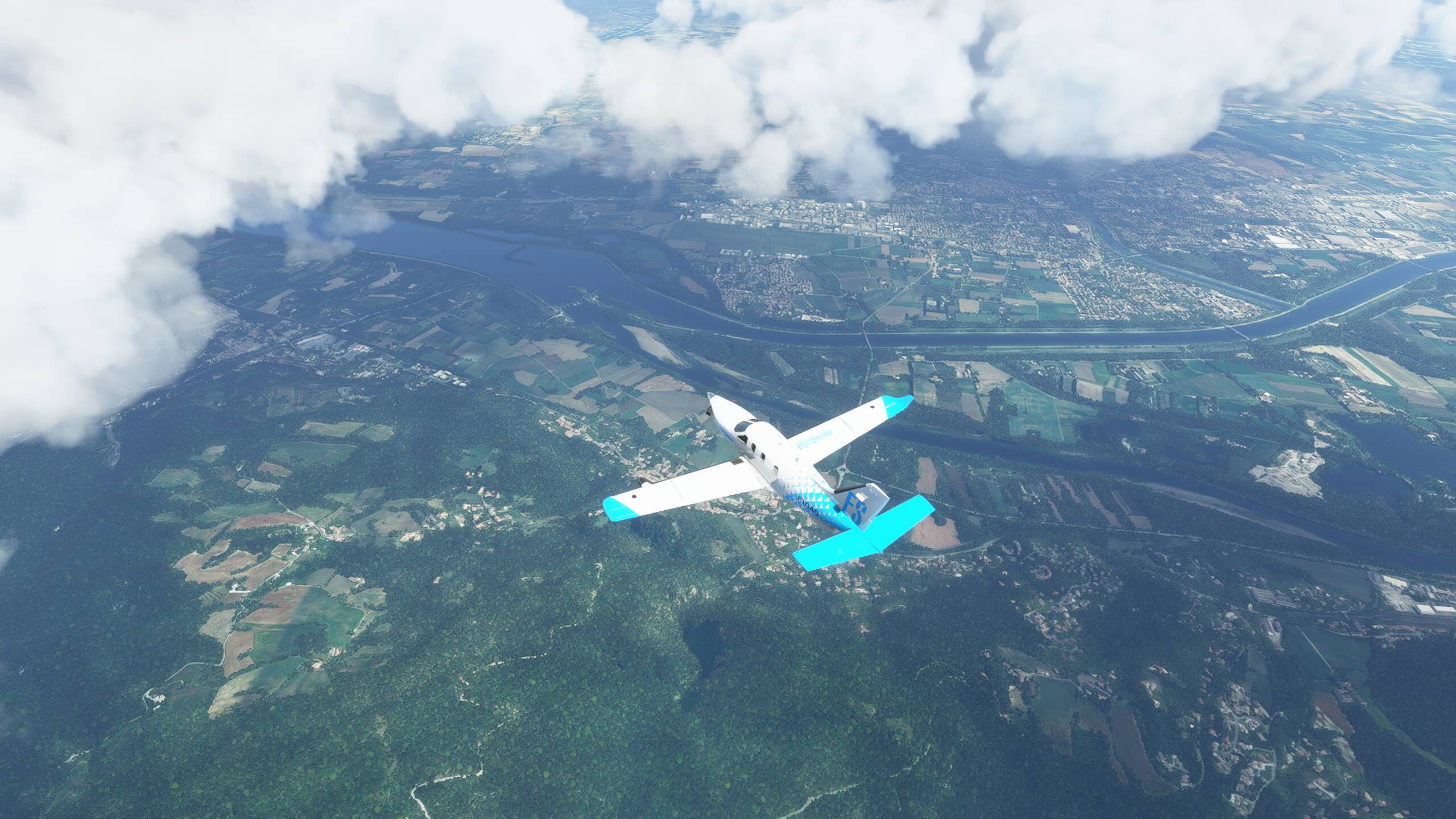
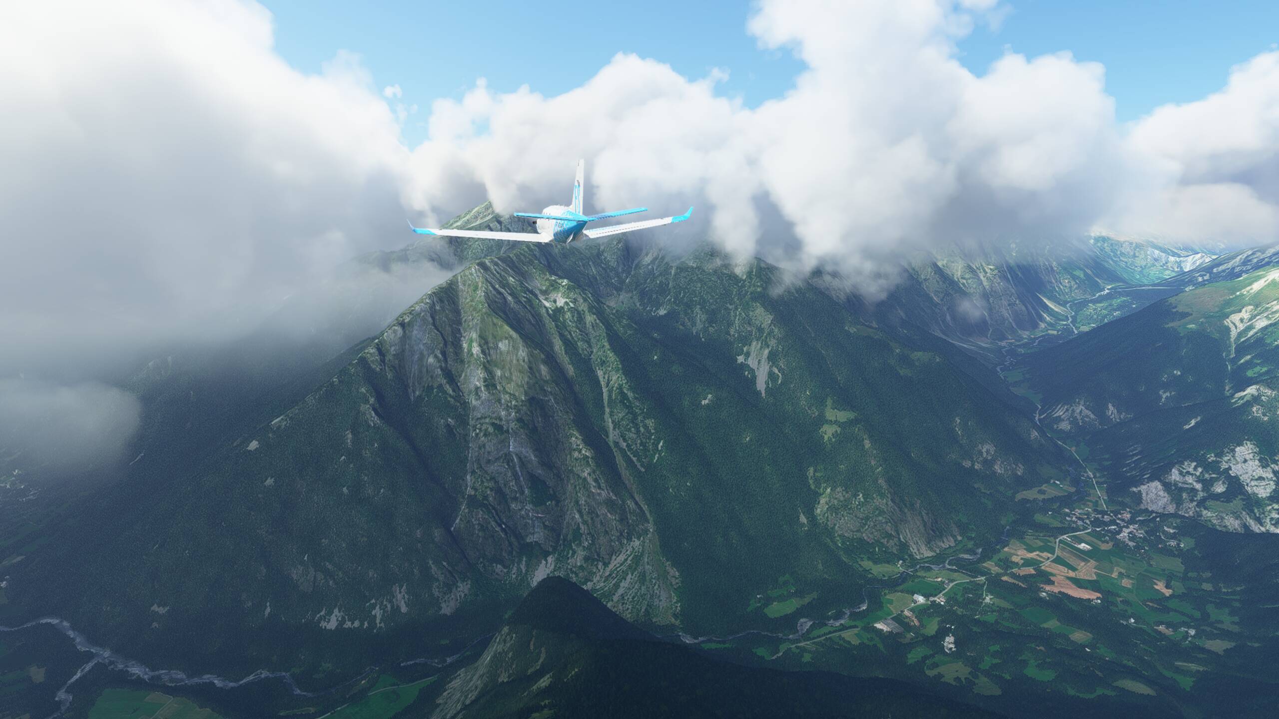
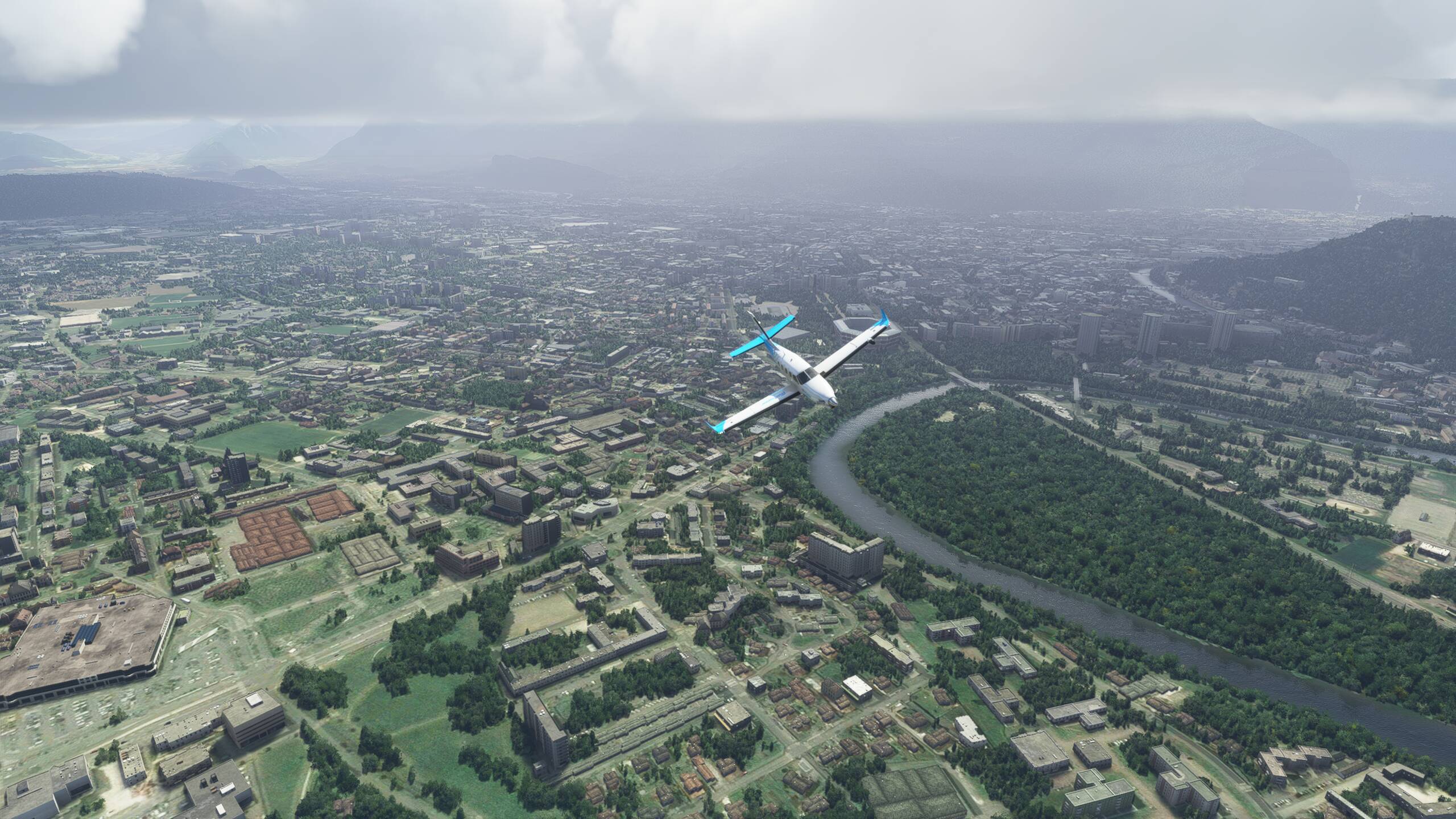
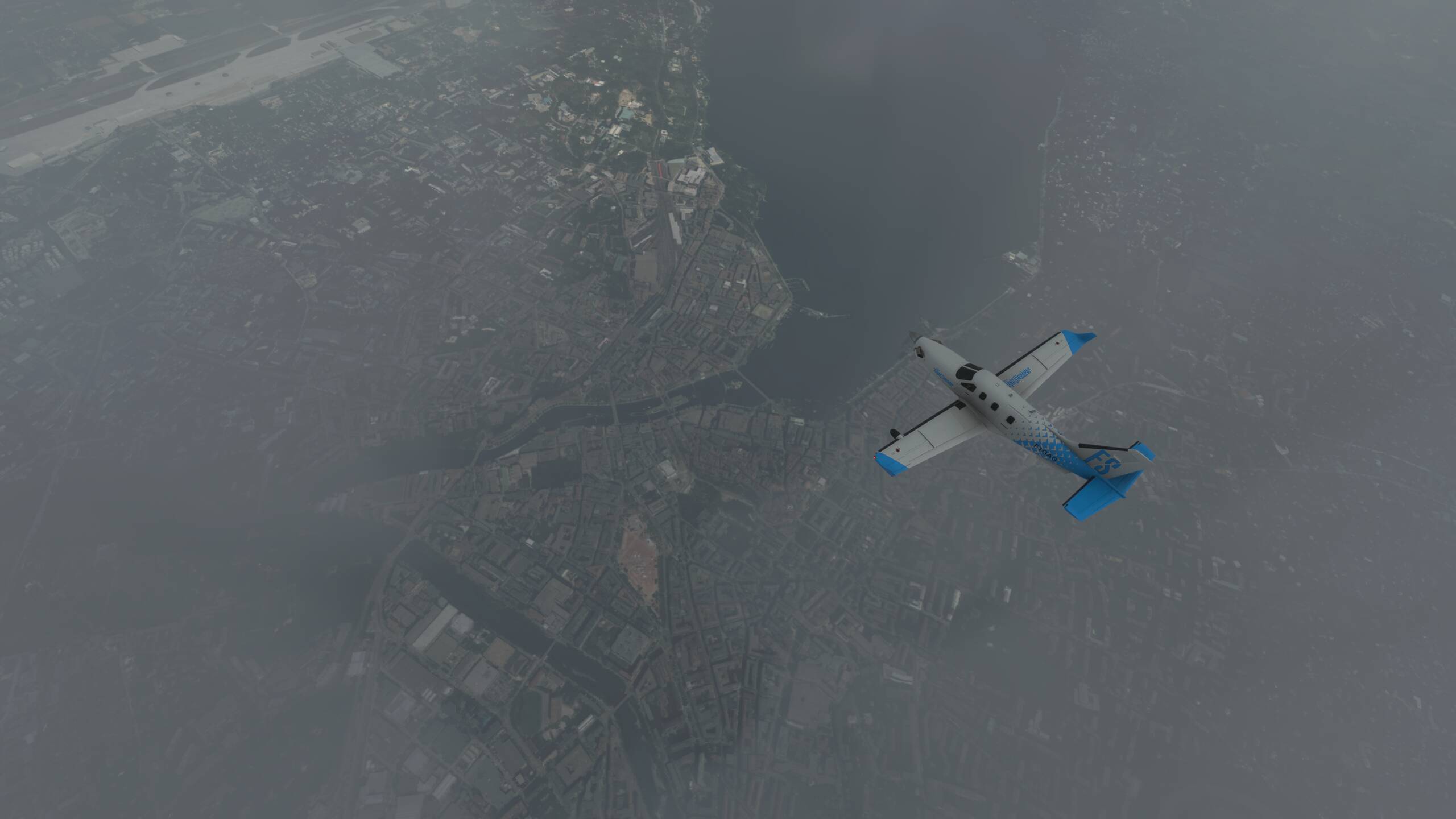
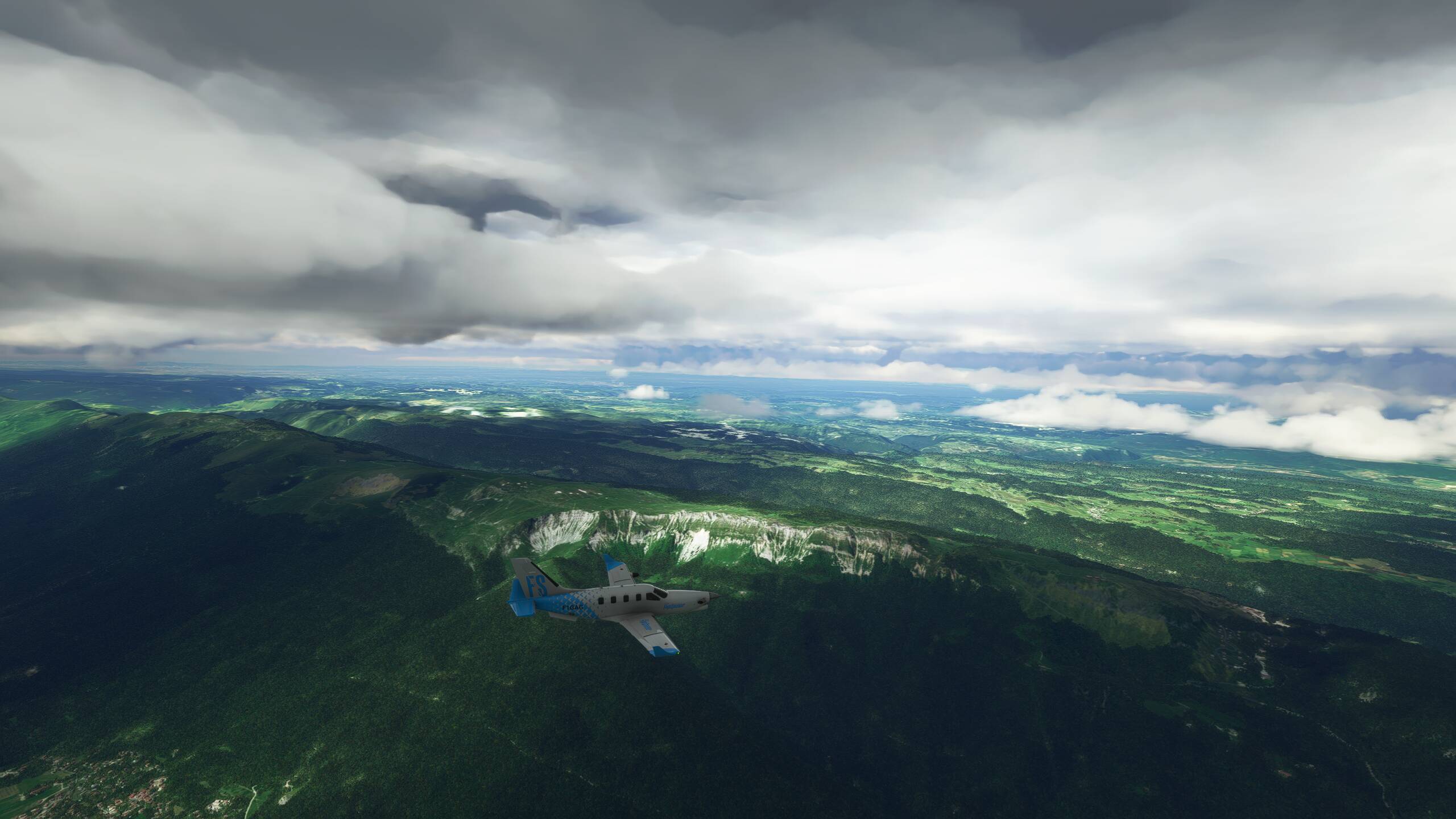
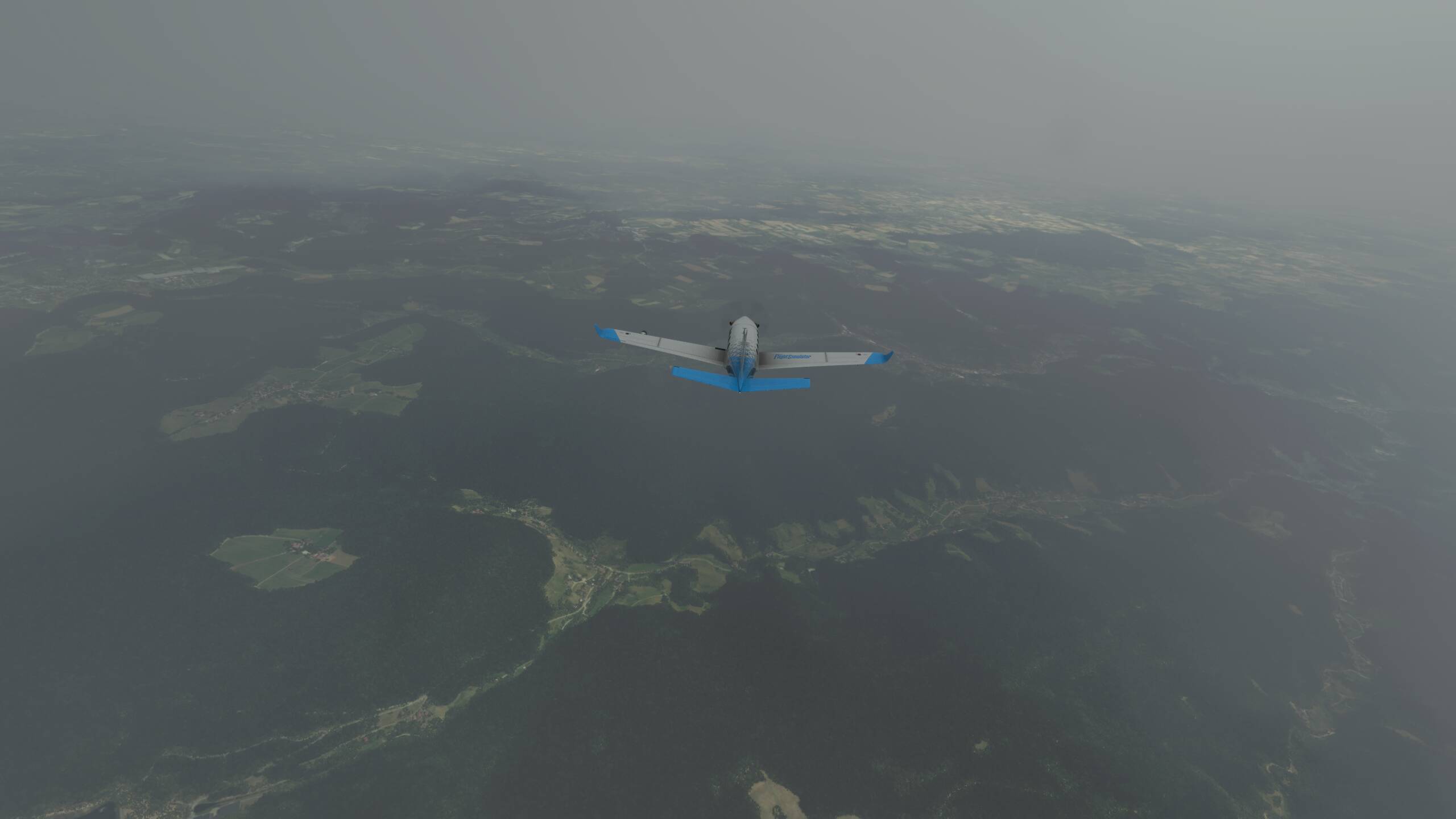
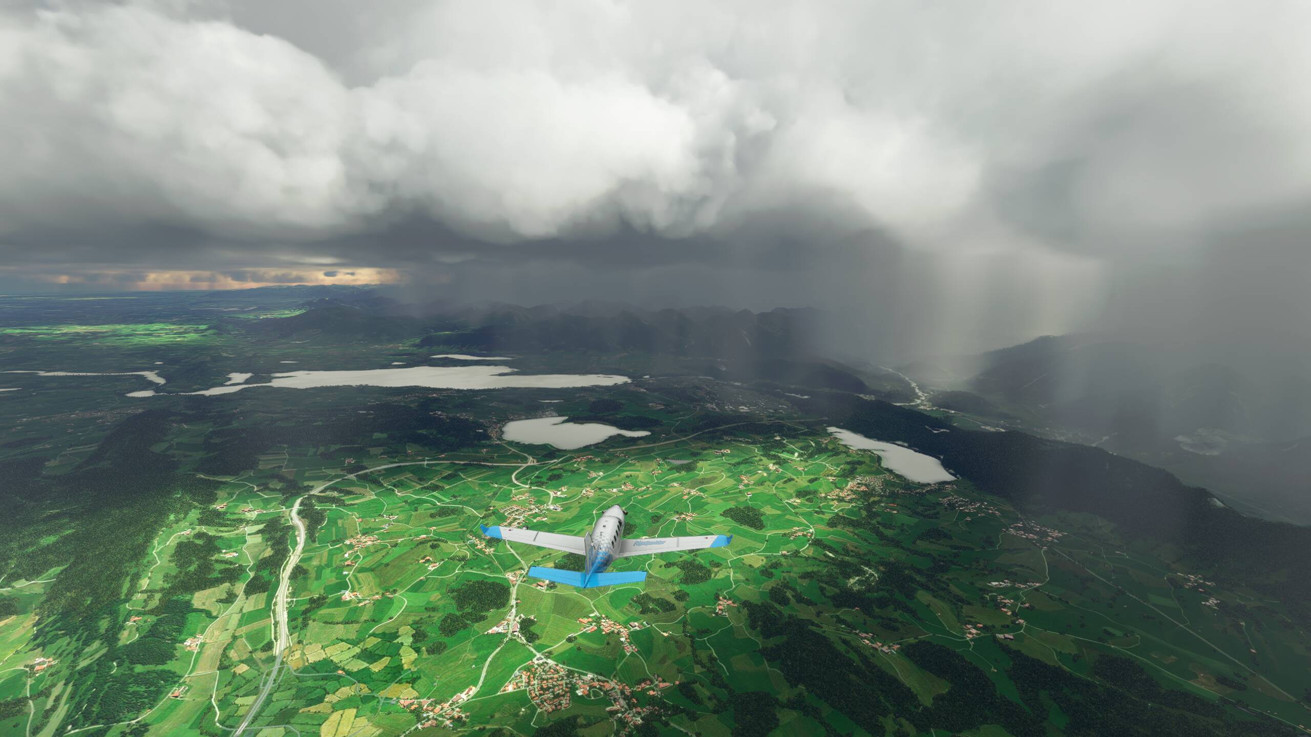
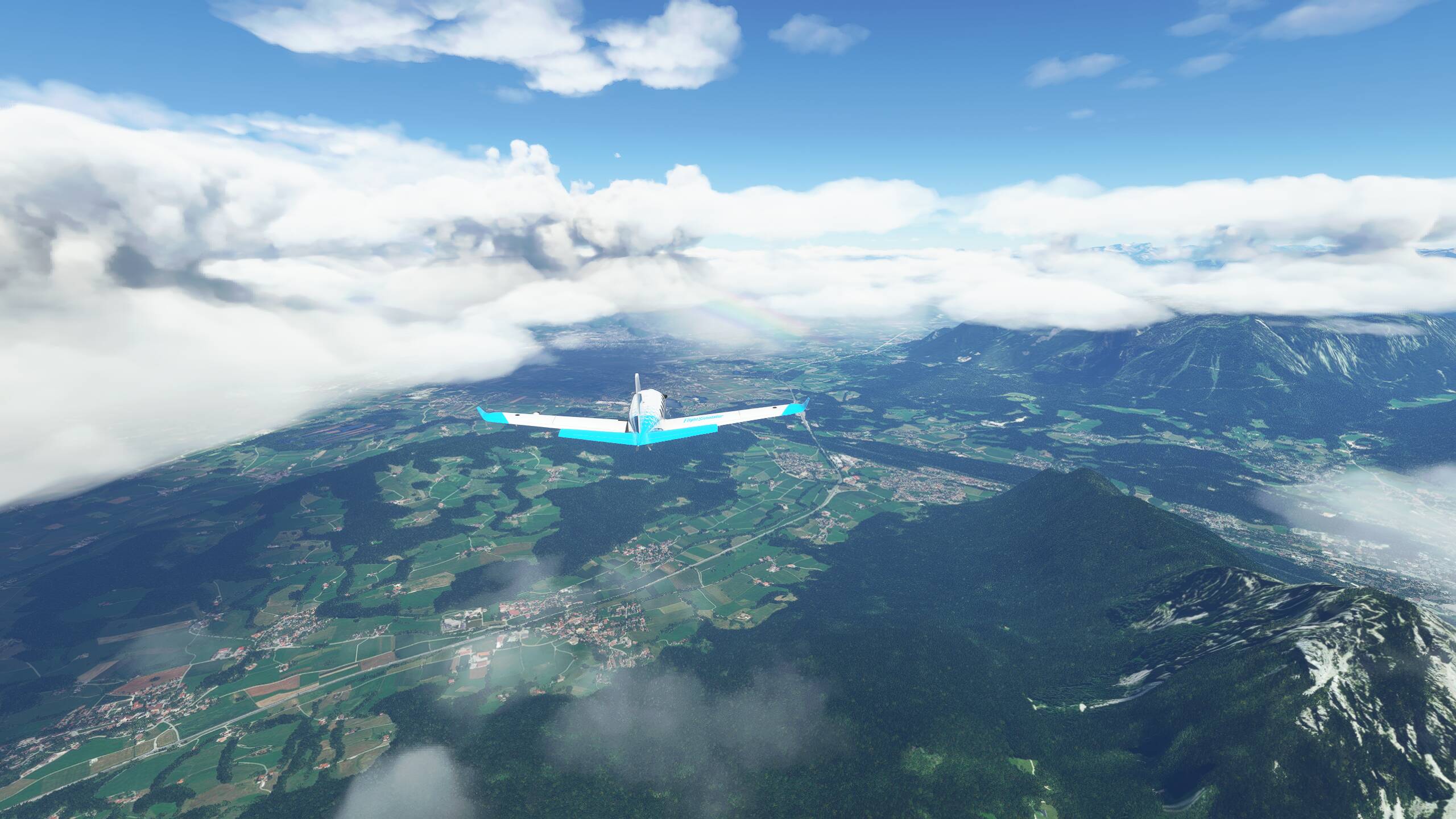
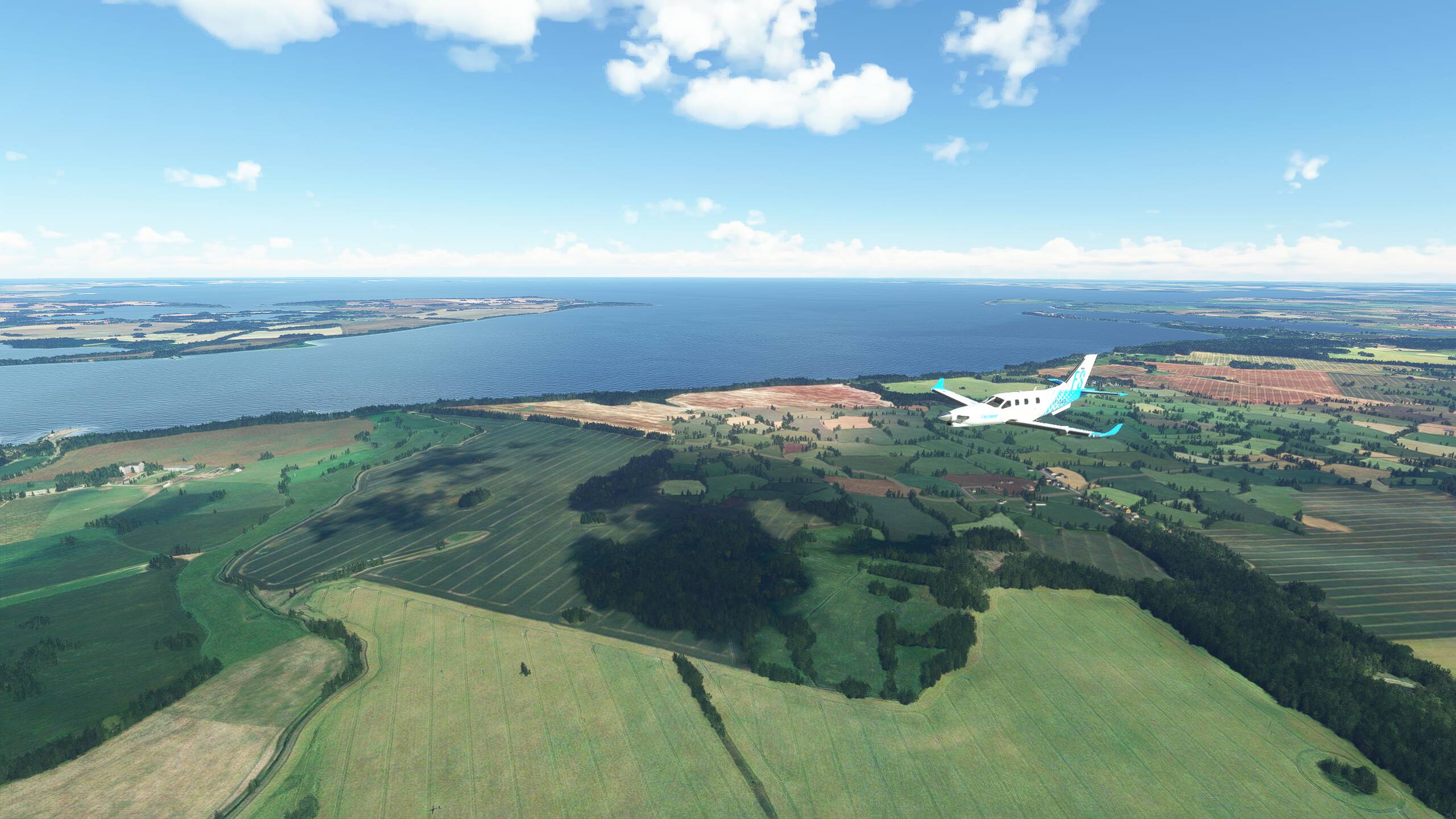
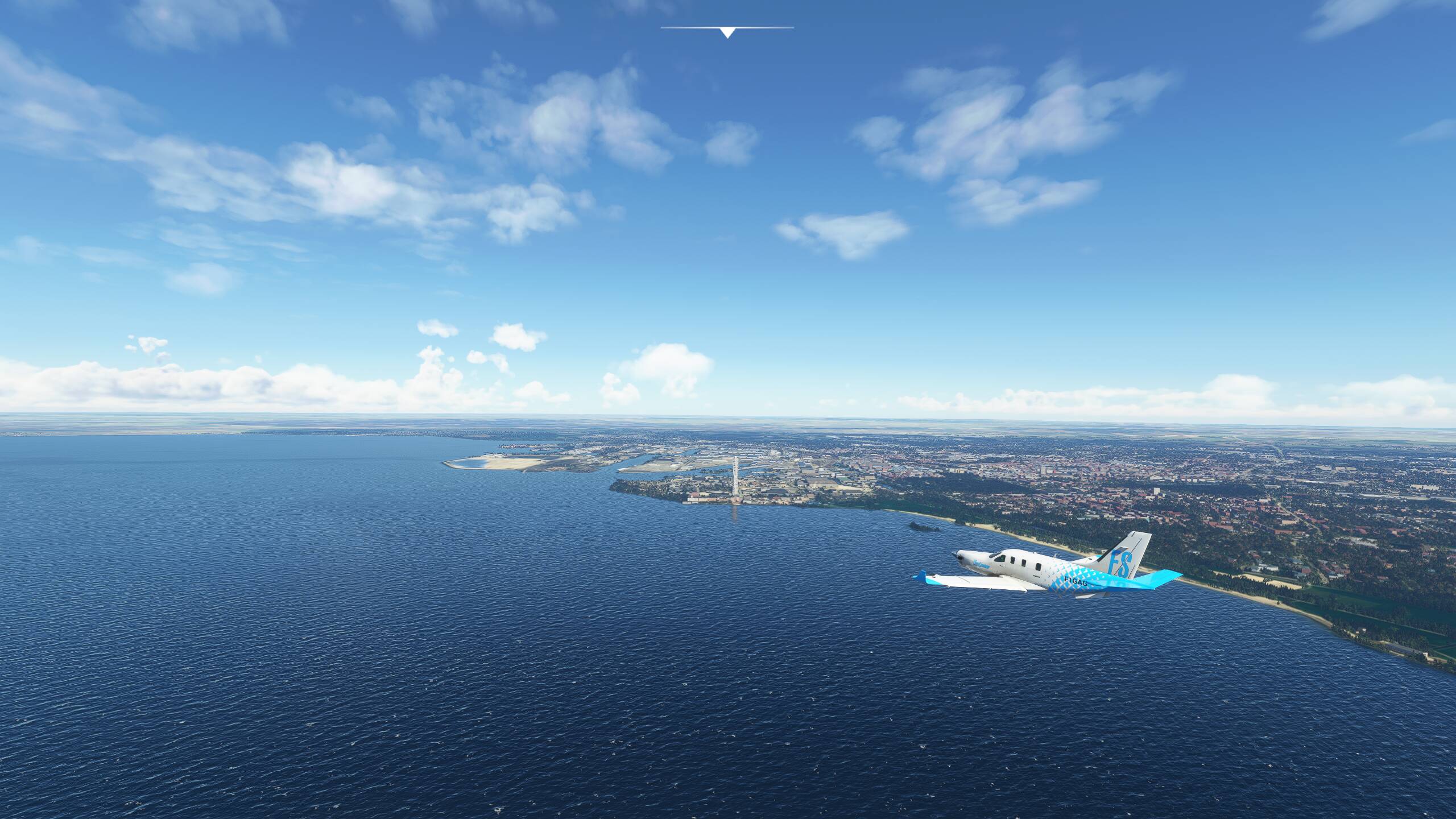
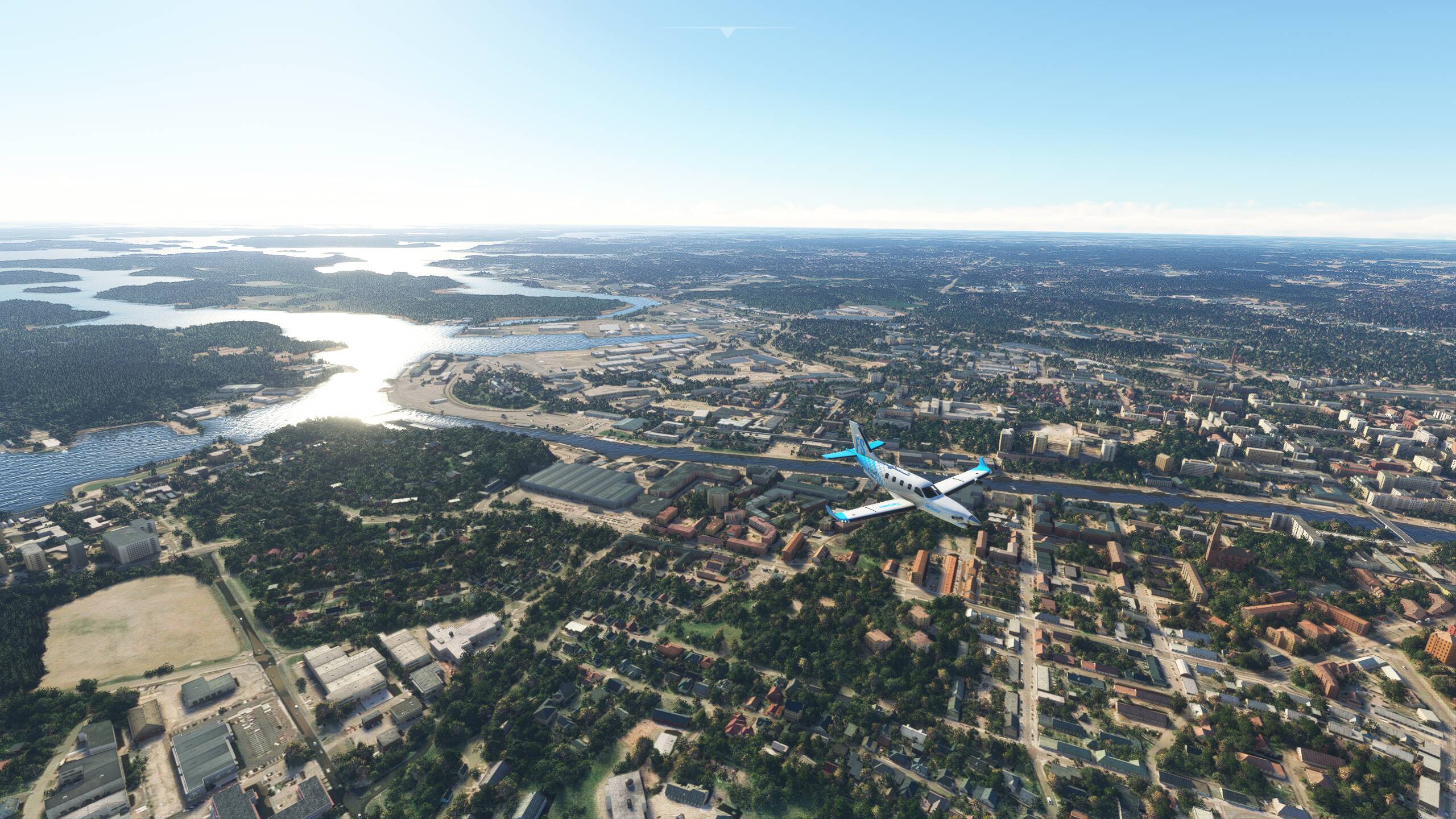
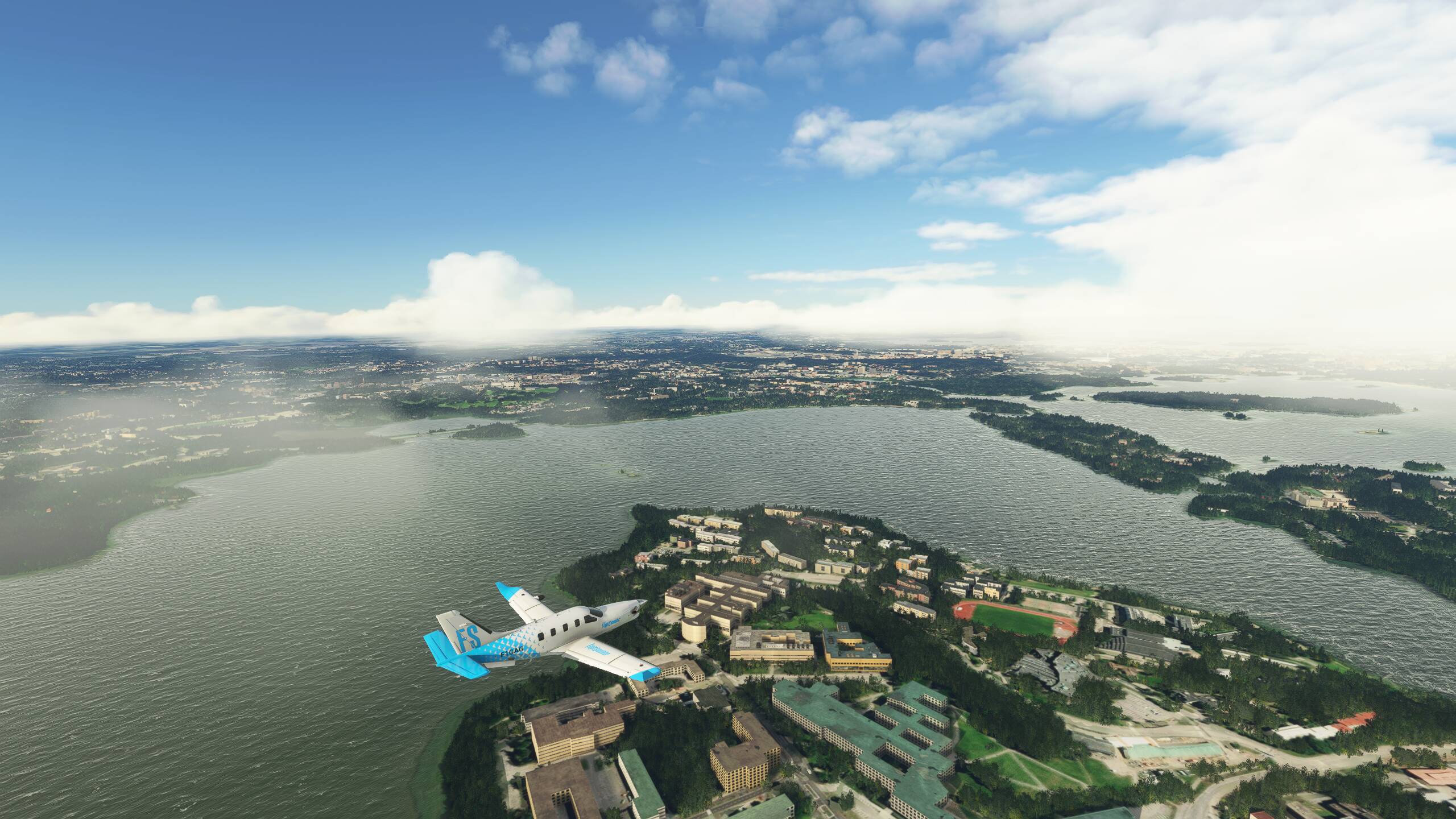
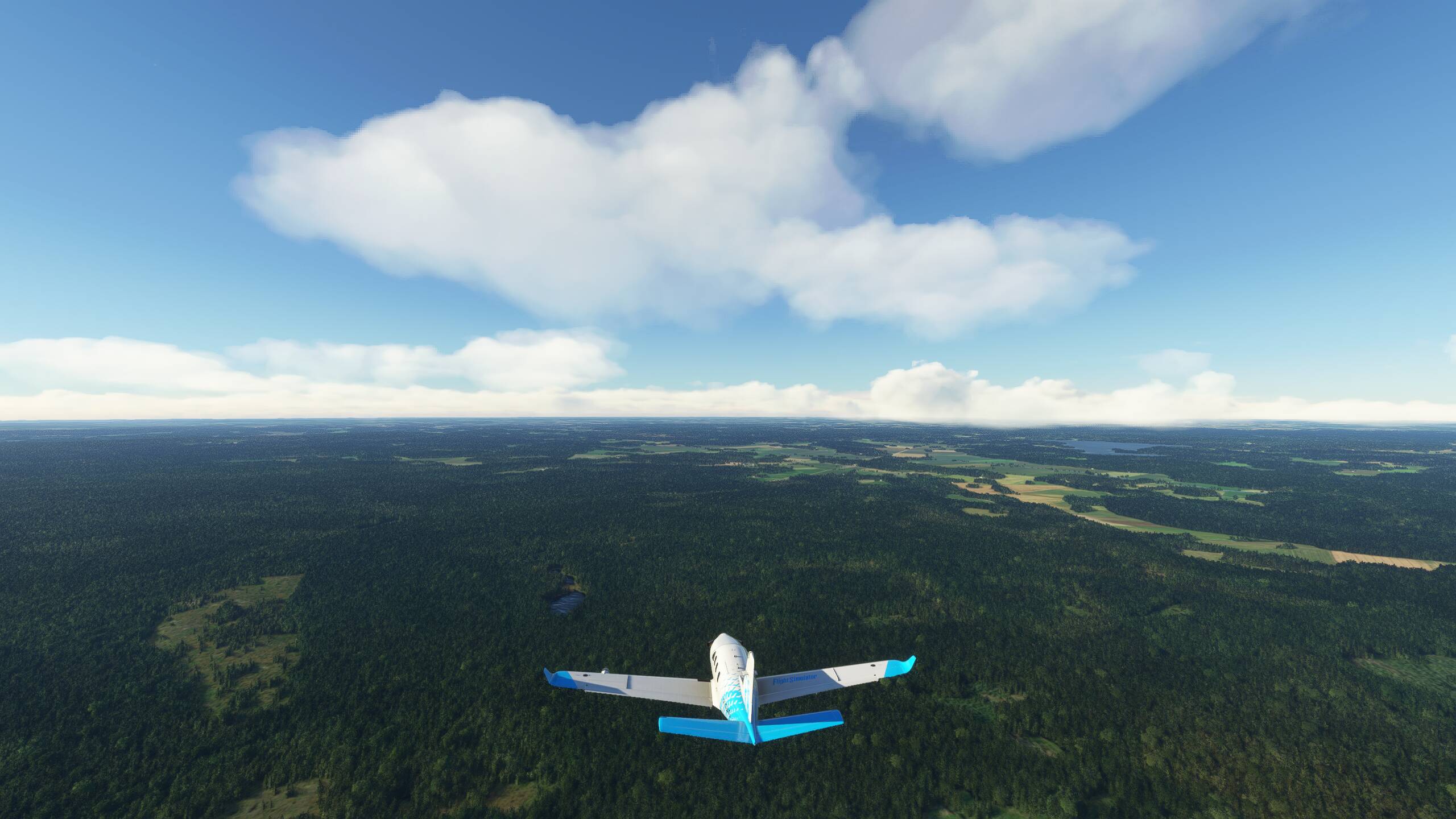
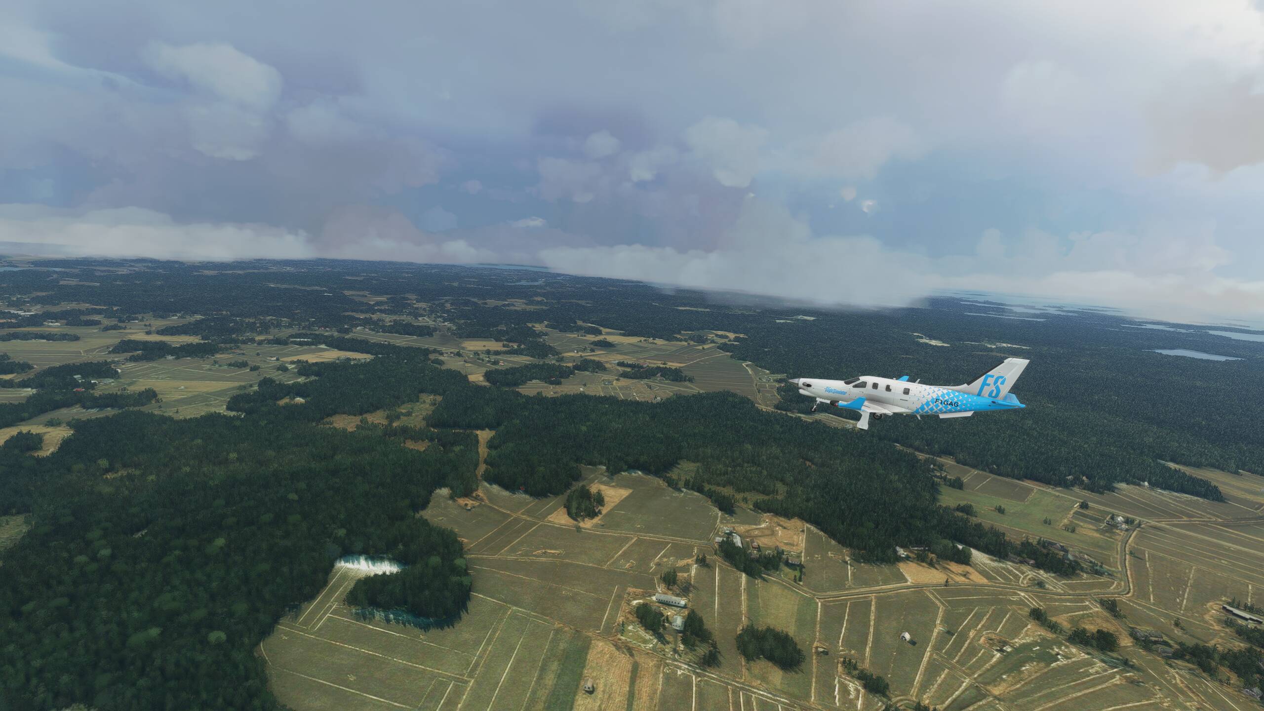
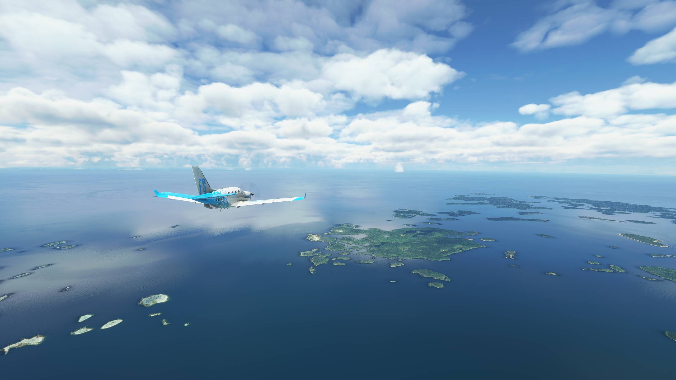
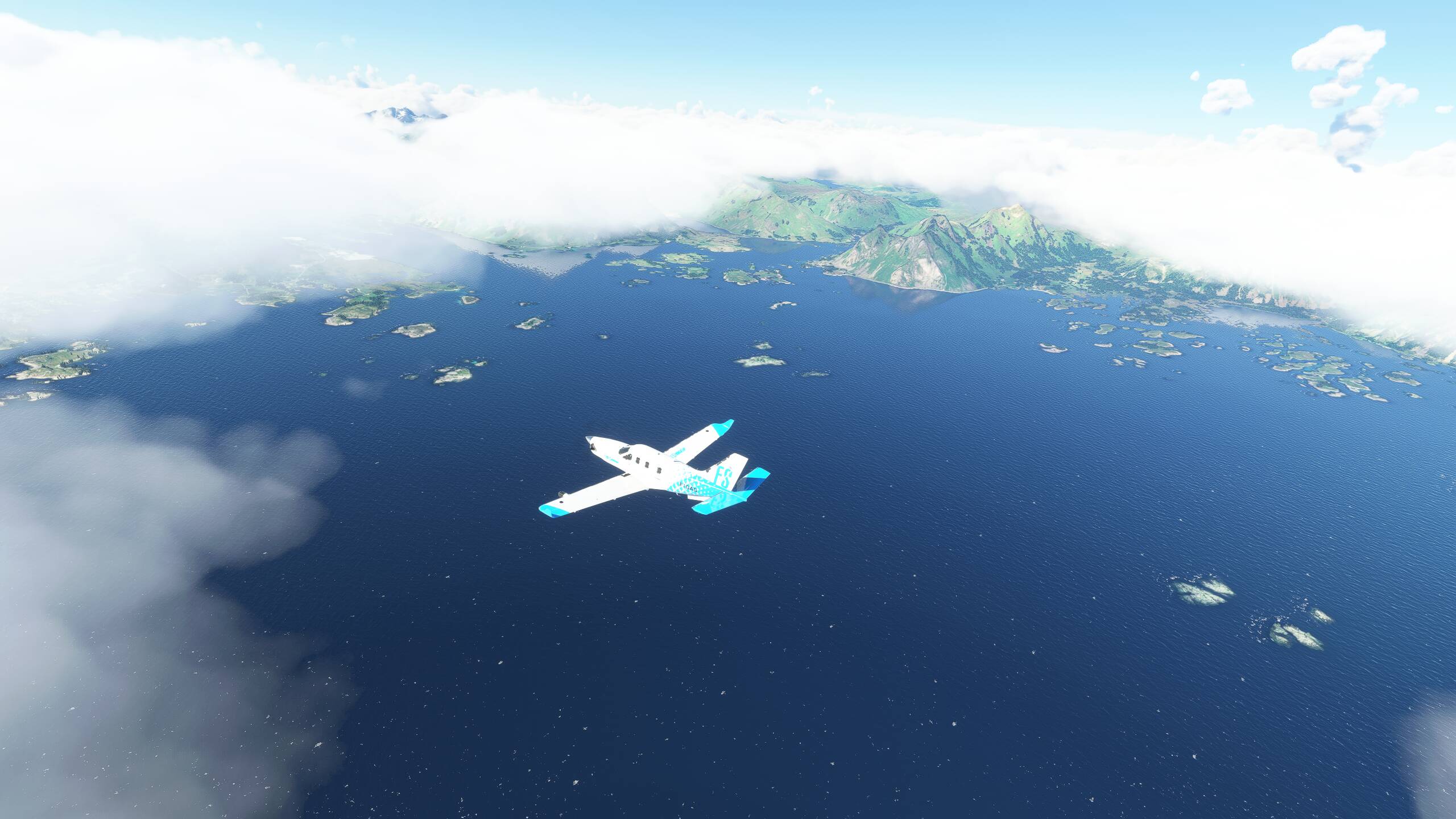
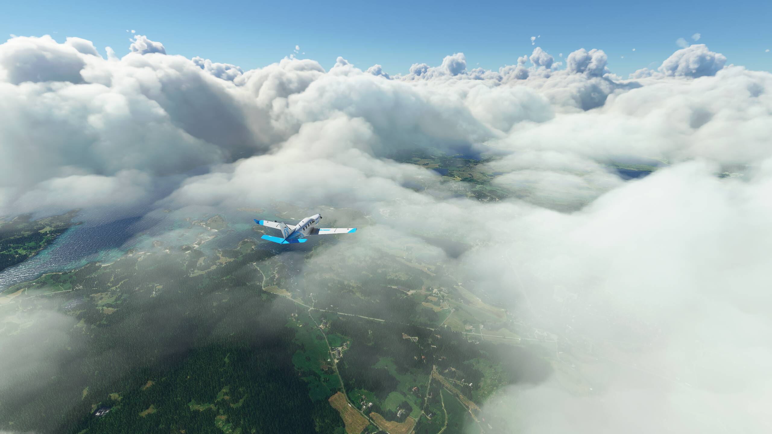
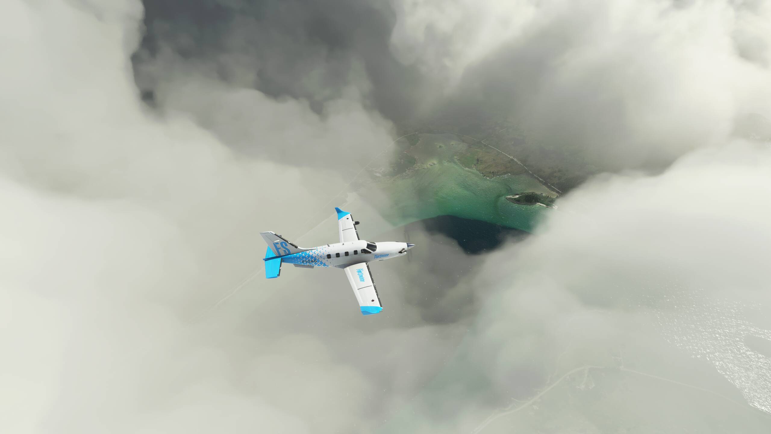
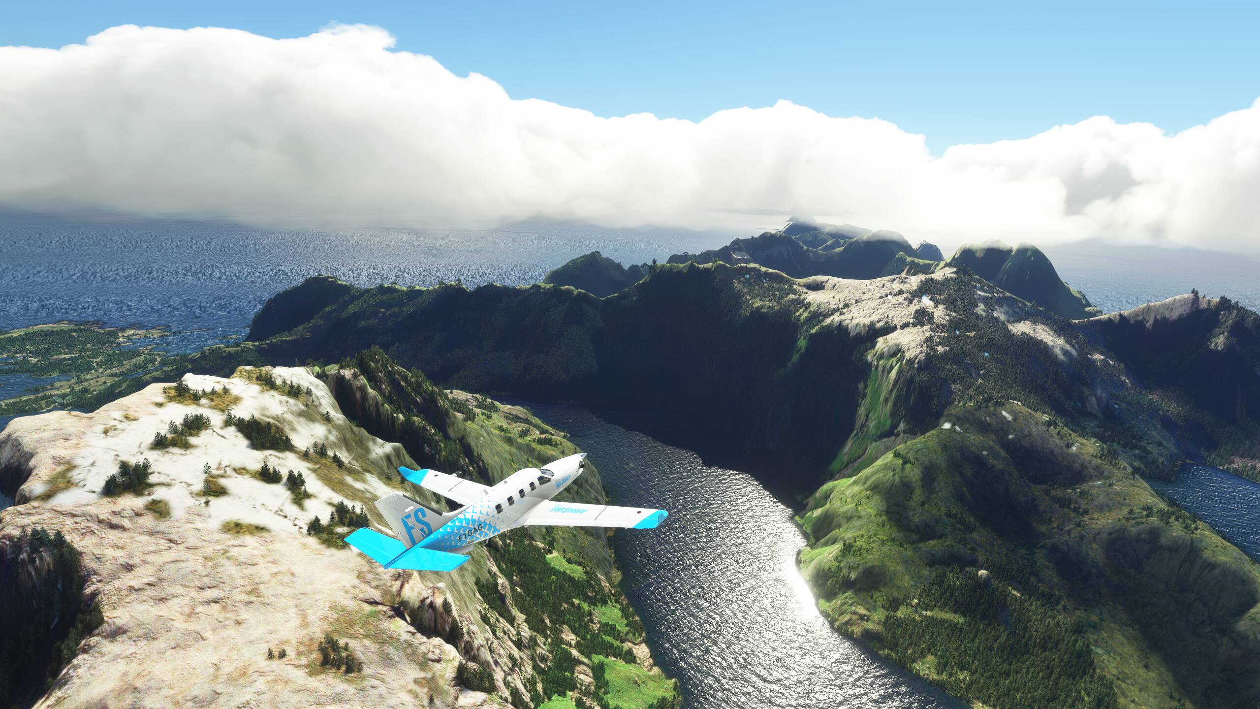
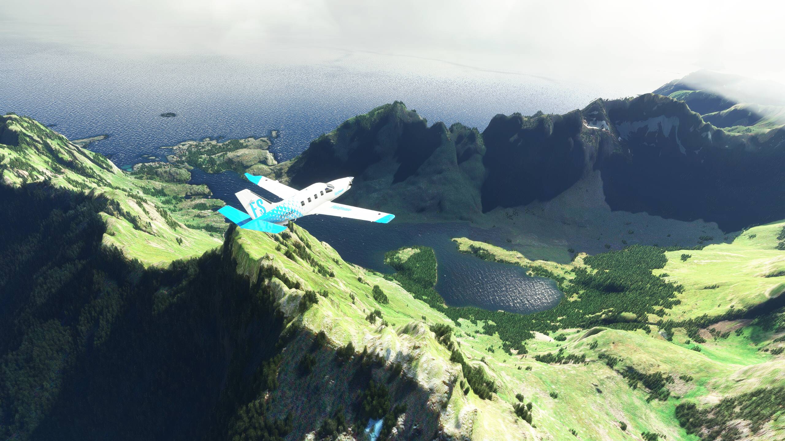
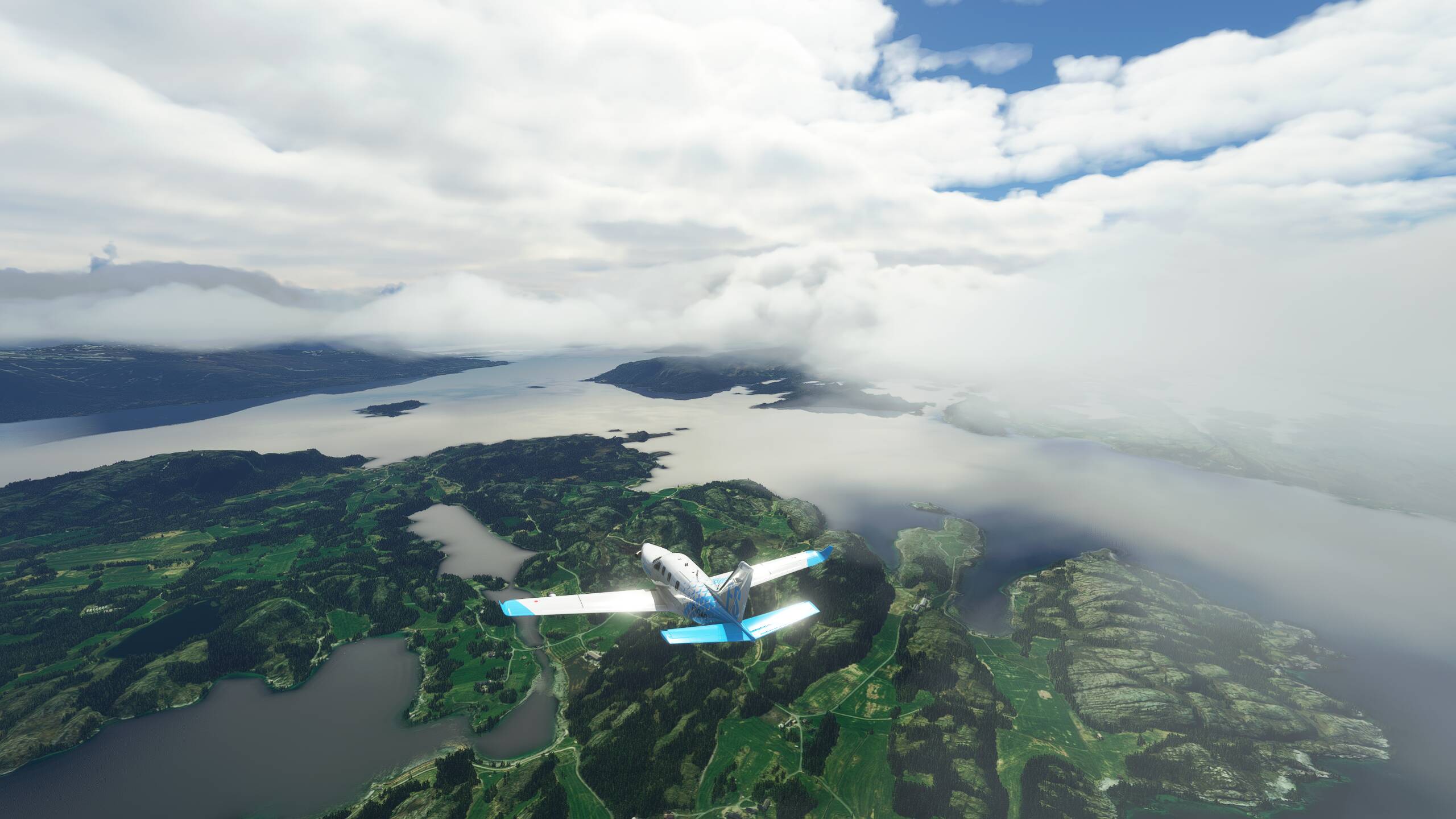
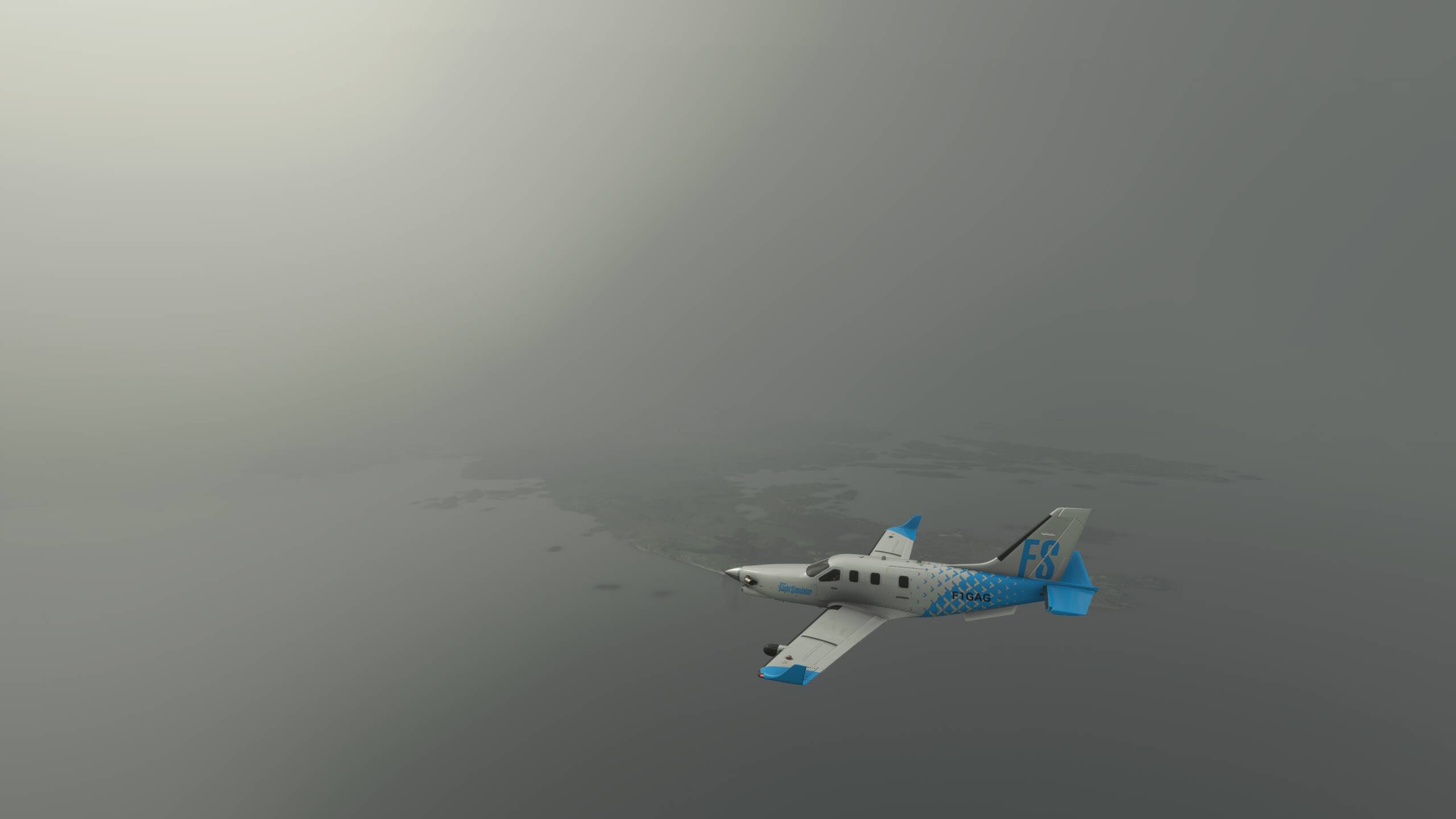
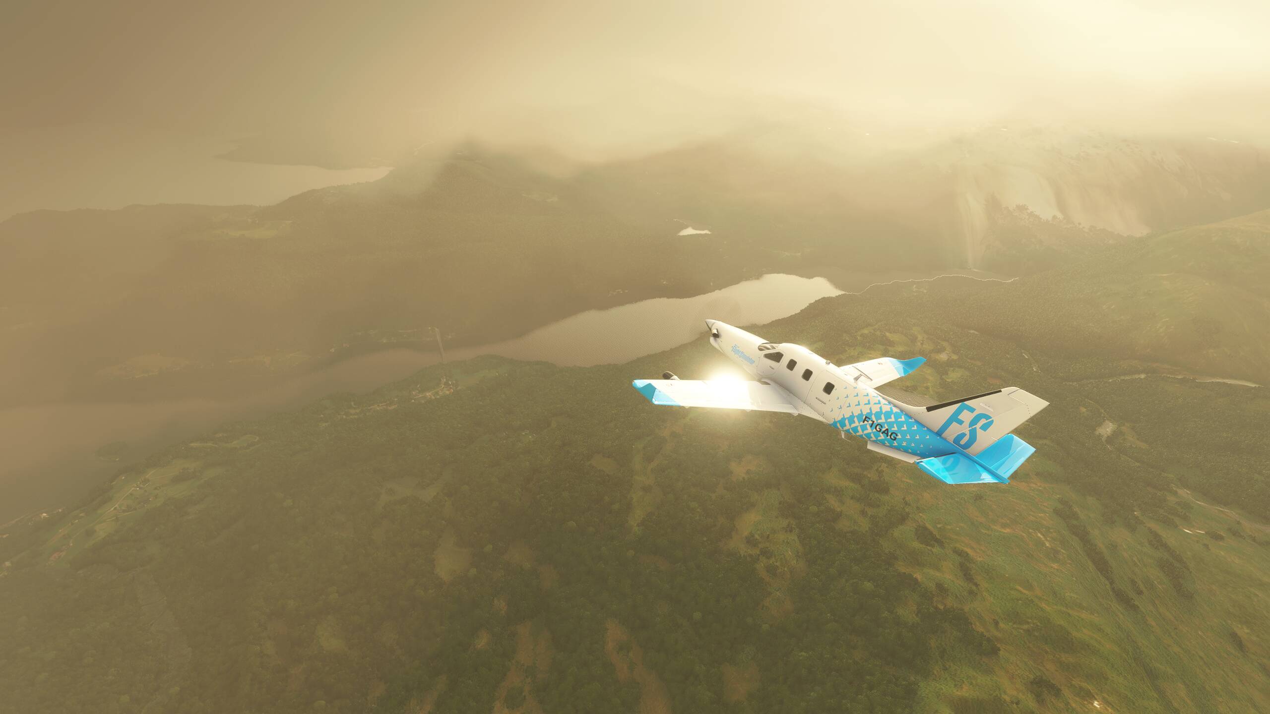
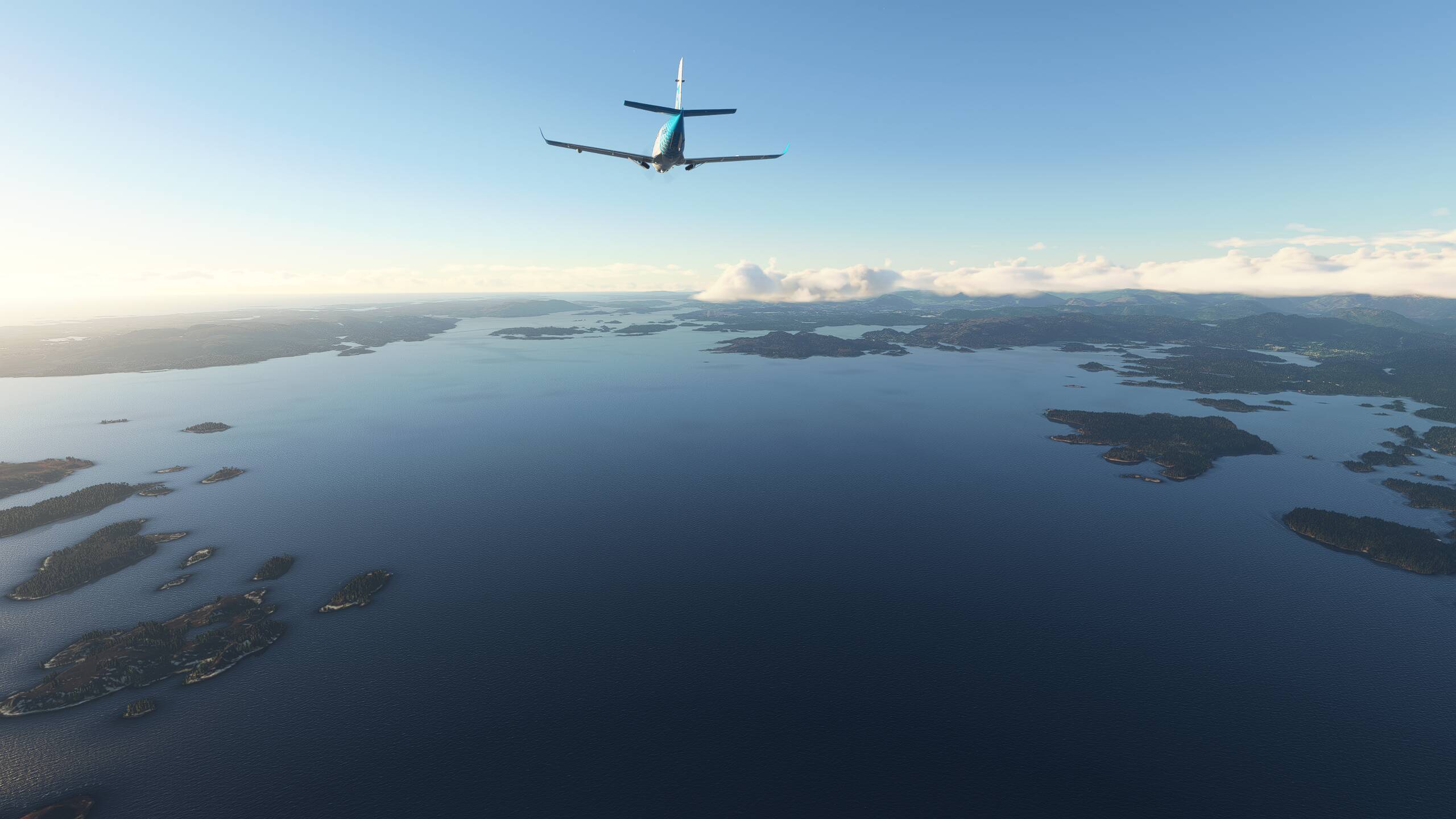
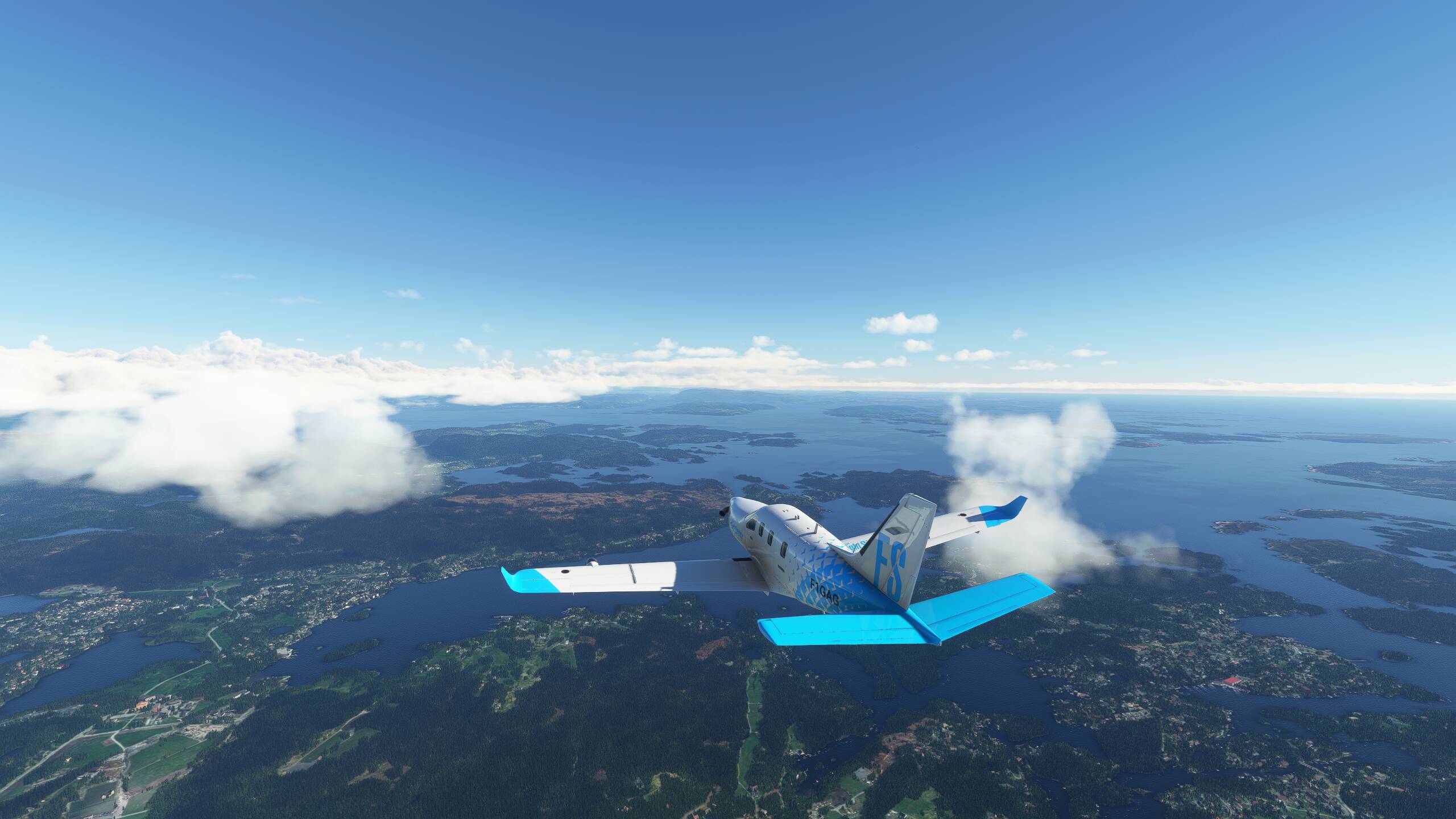
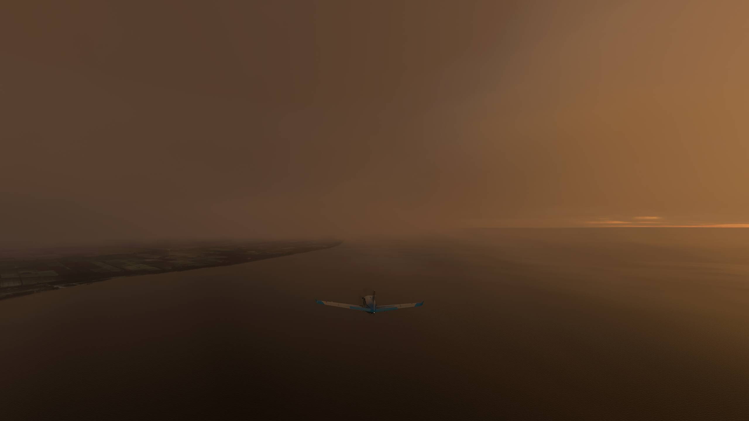
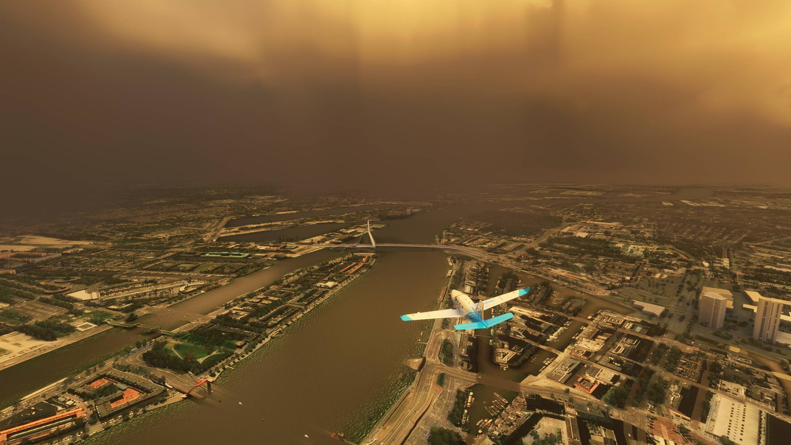
You can just about make out Geneva below us here, but a sudden break in the clouds reveals a stunning Lake Geneva
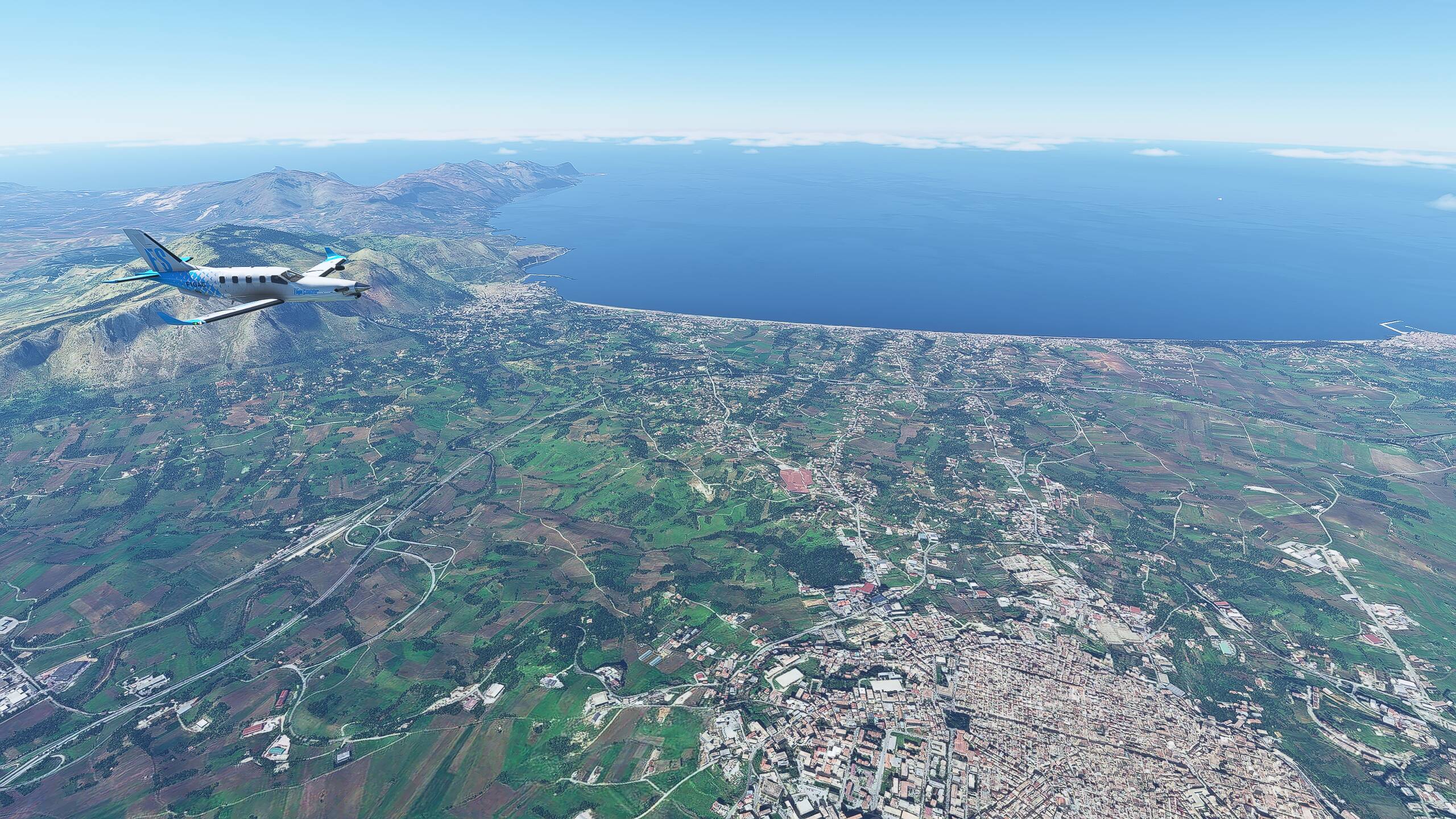
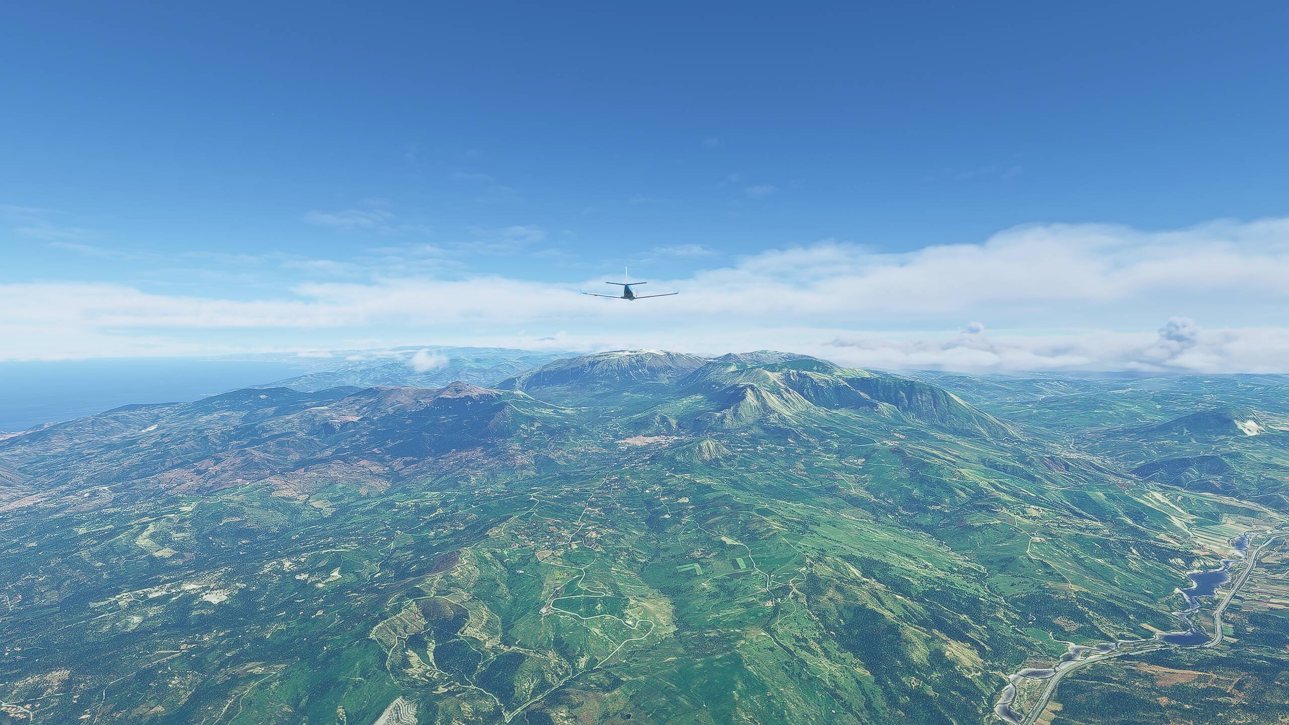
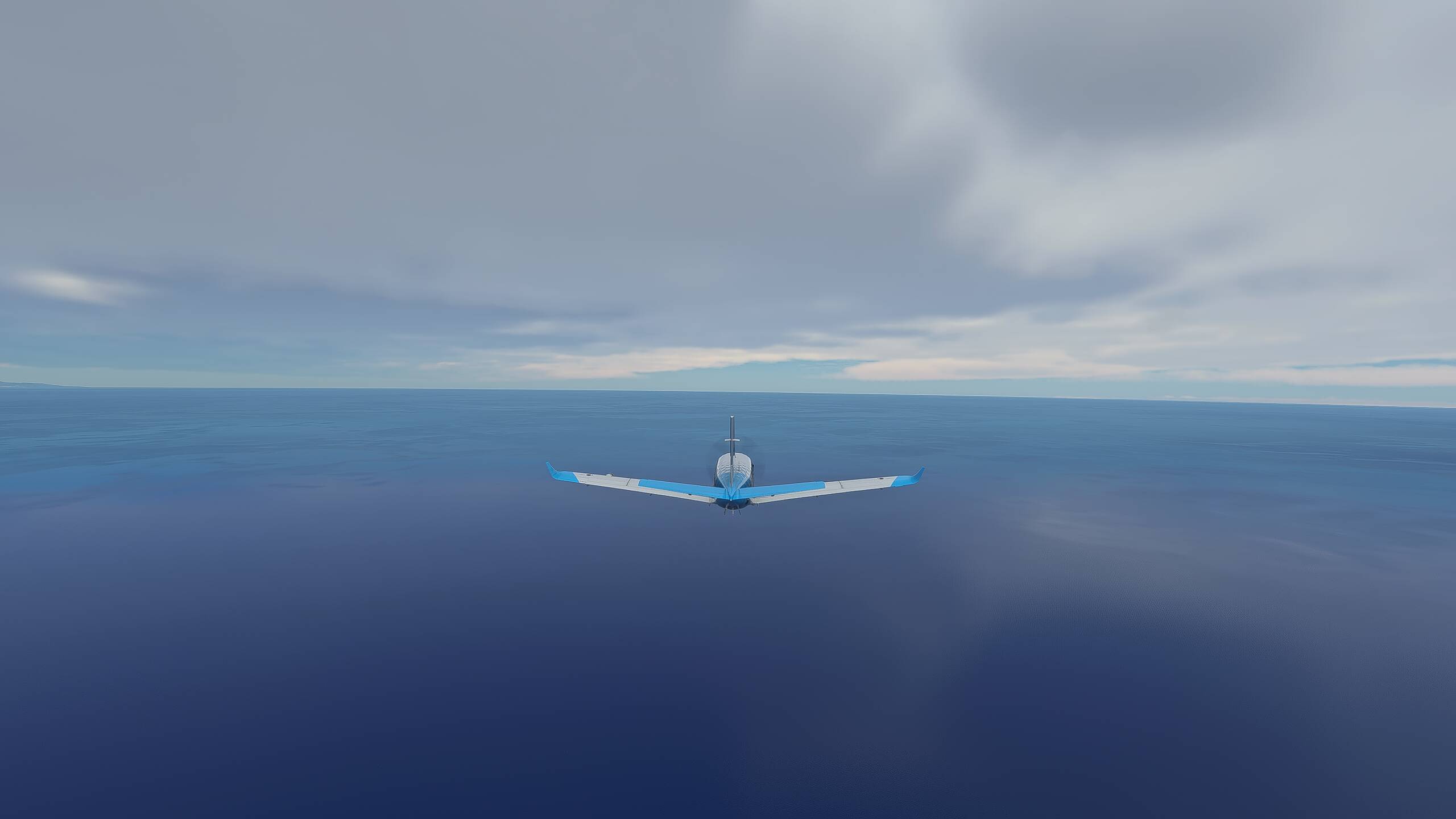
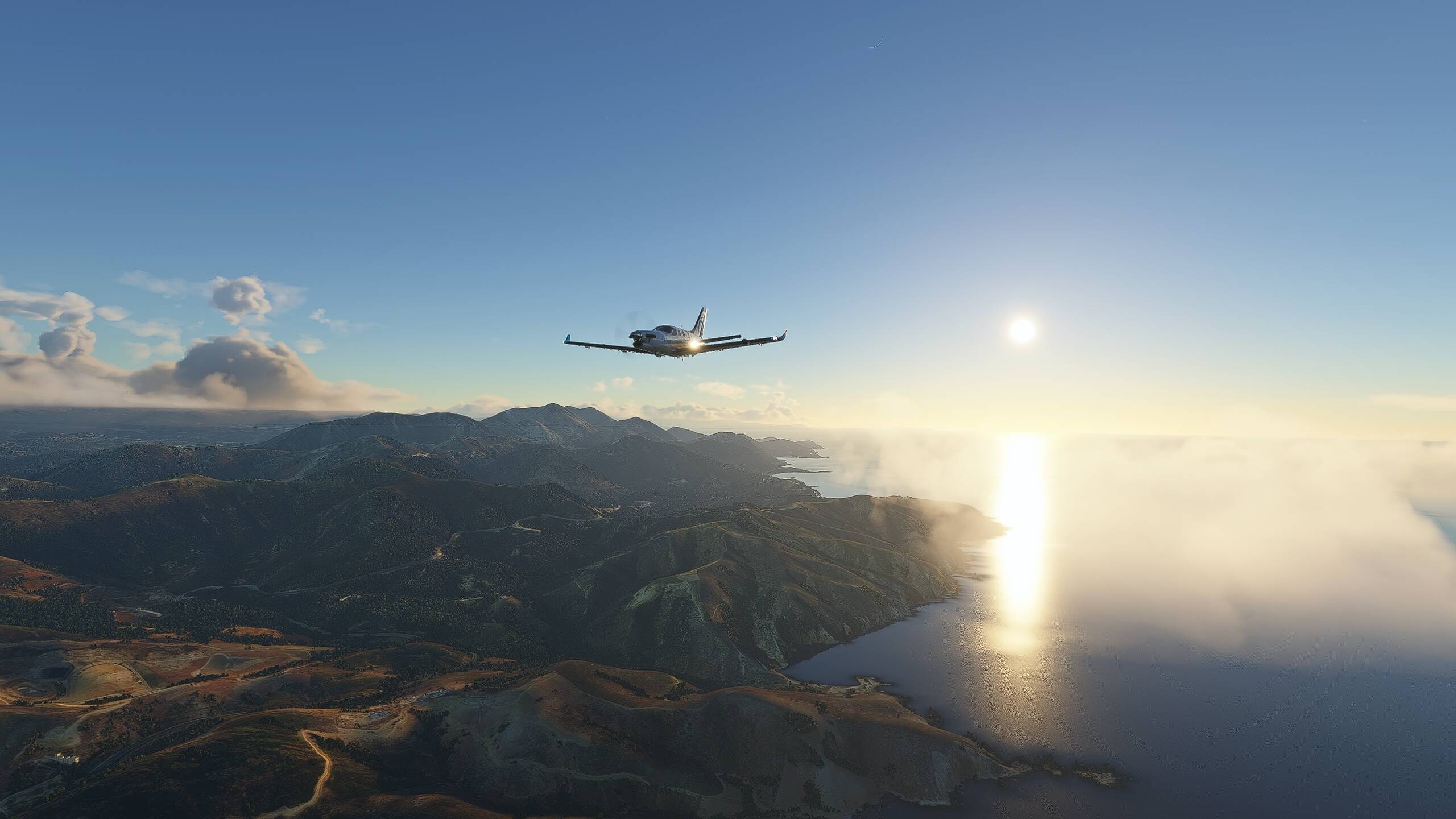
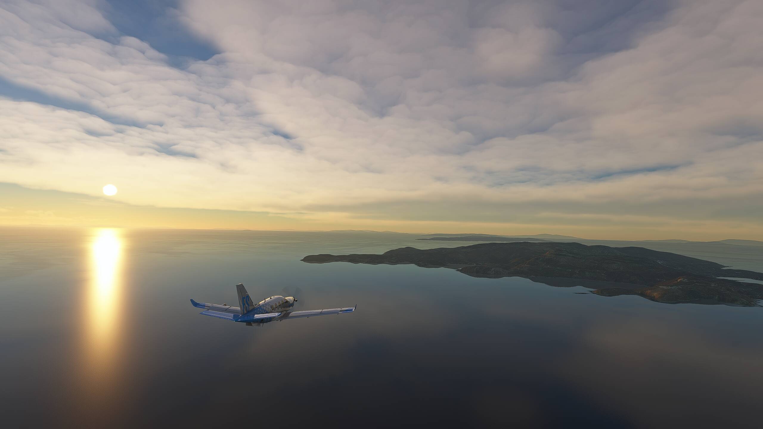
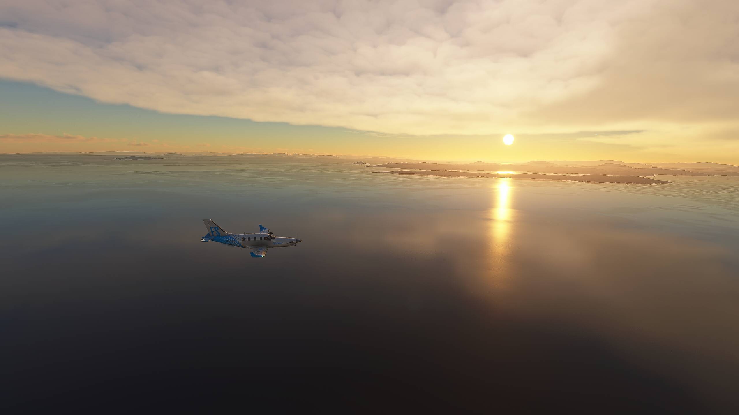
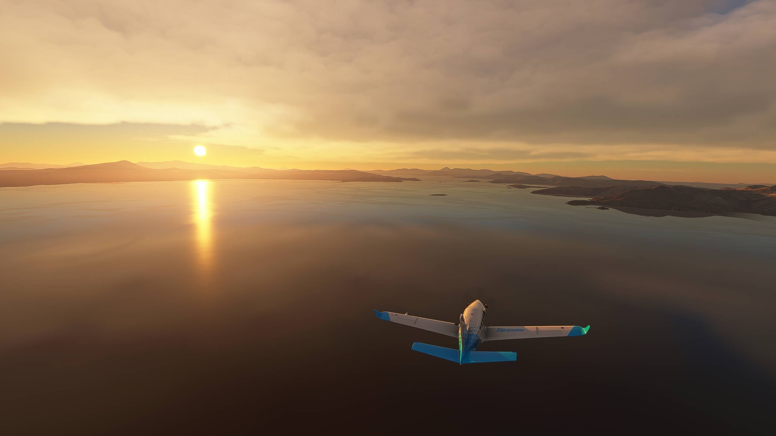
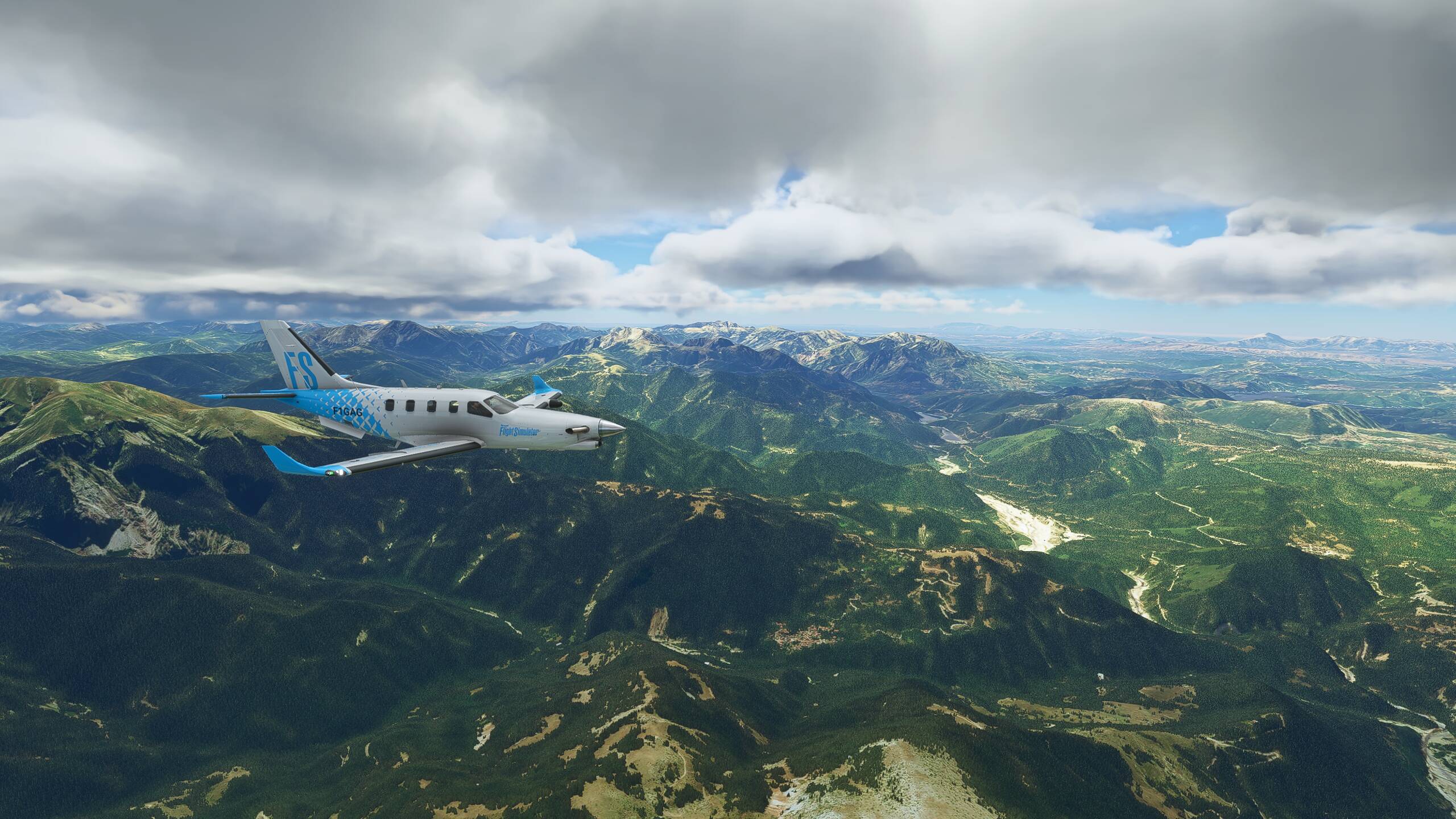
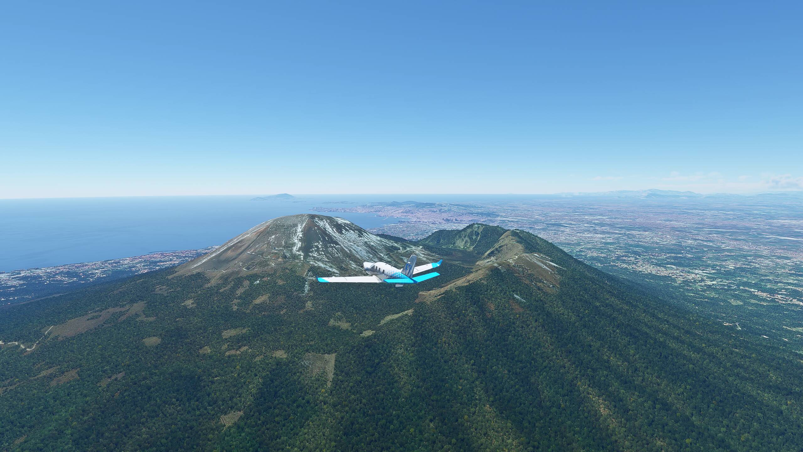
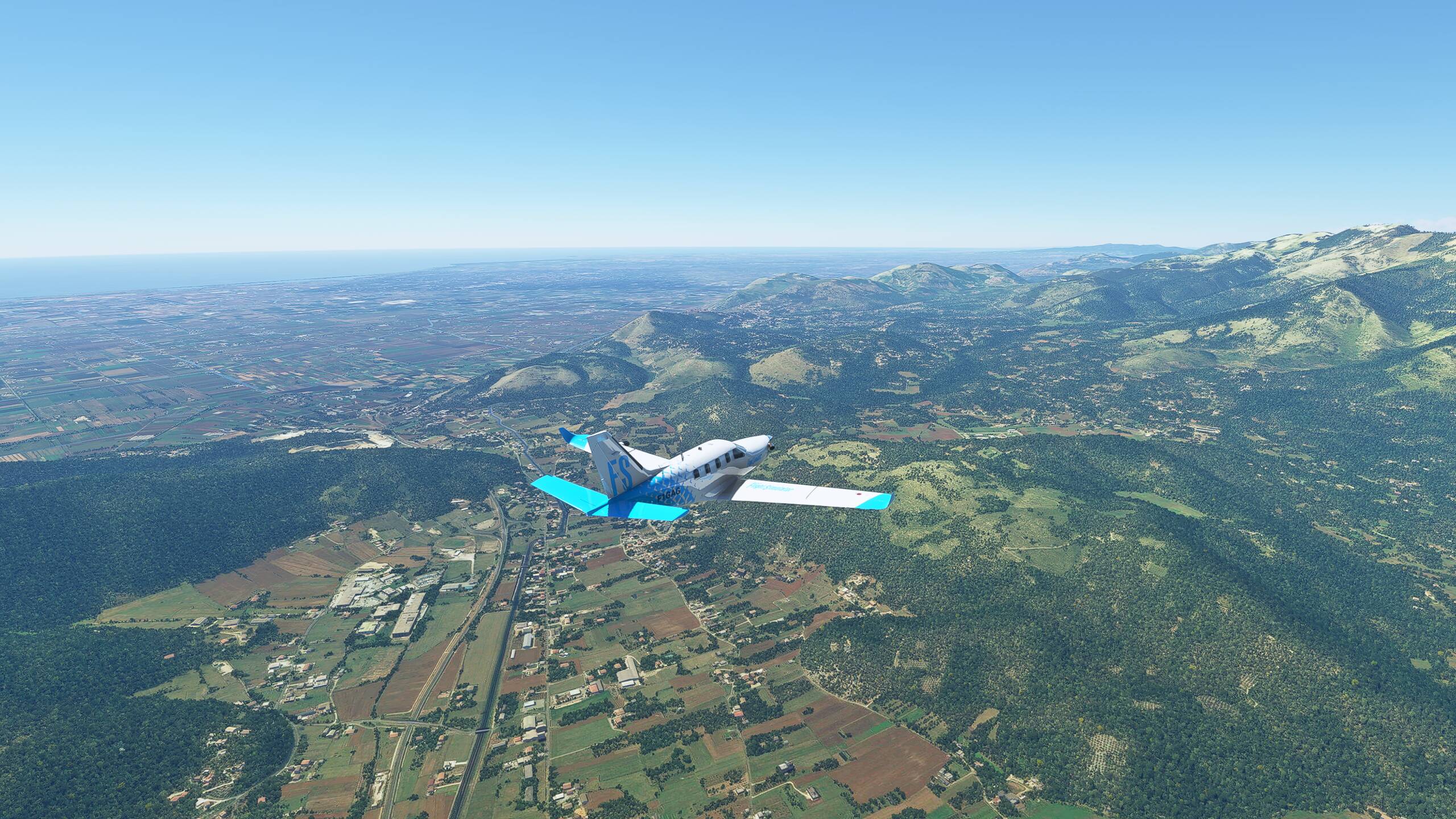
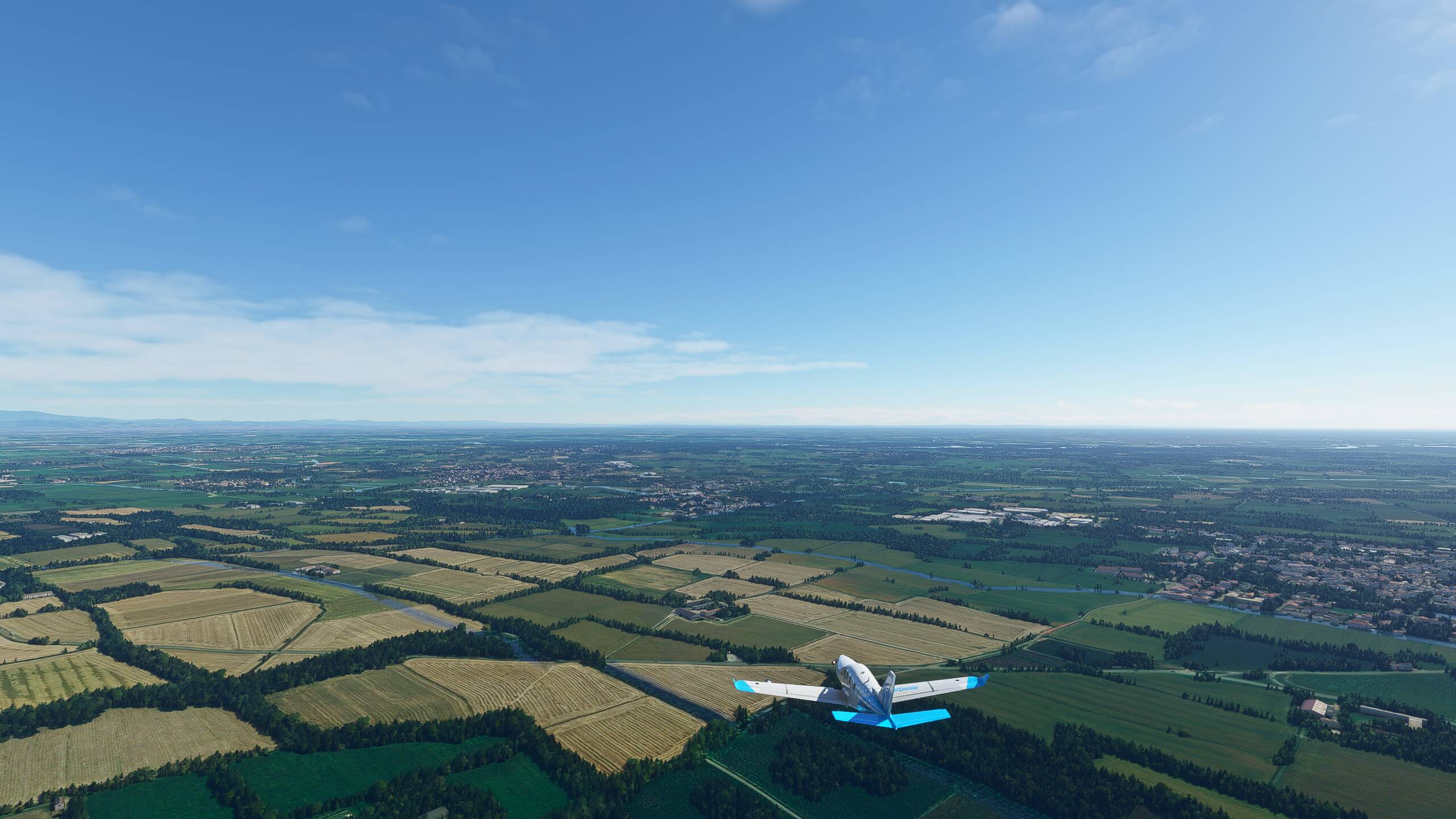
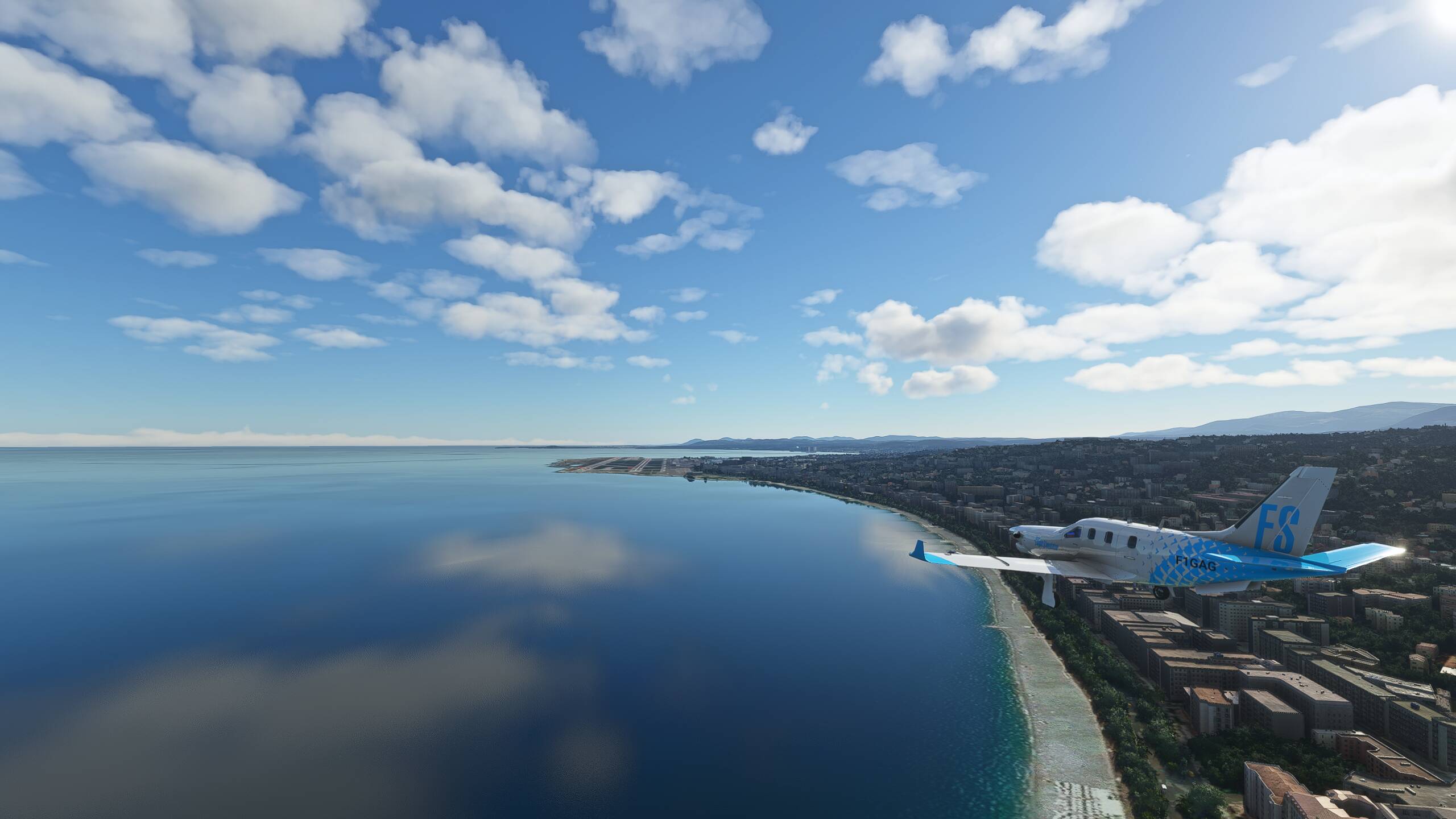
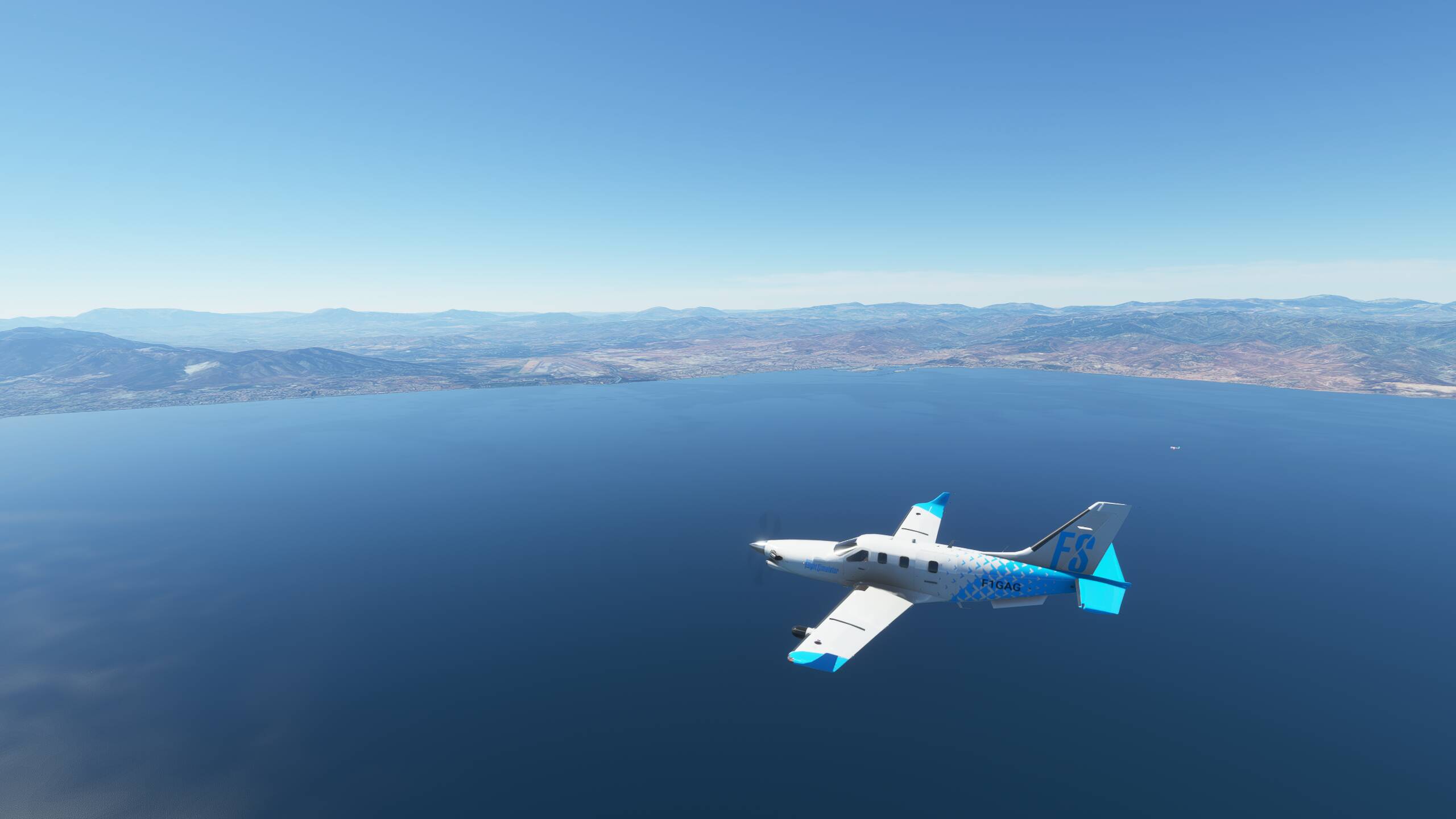
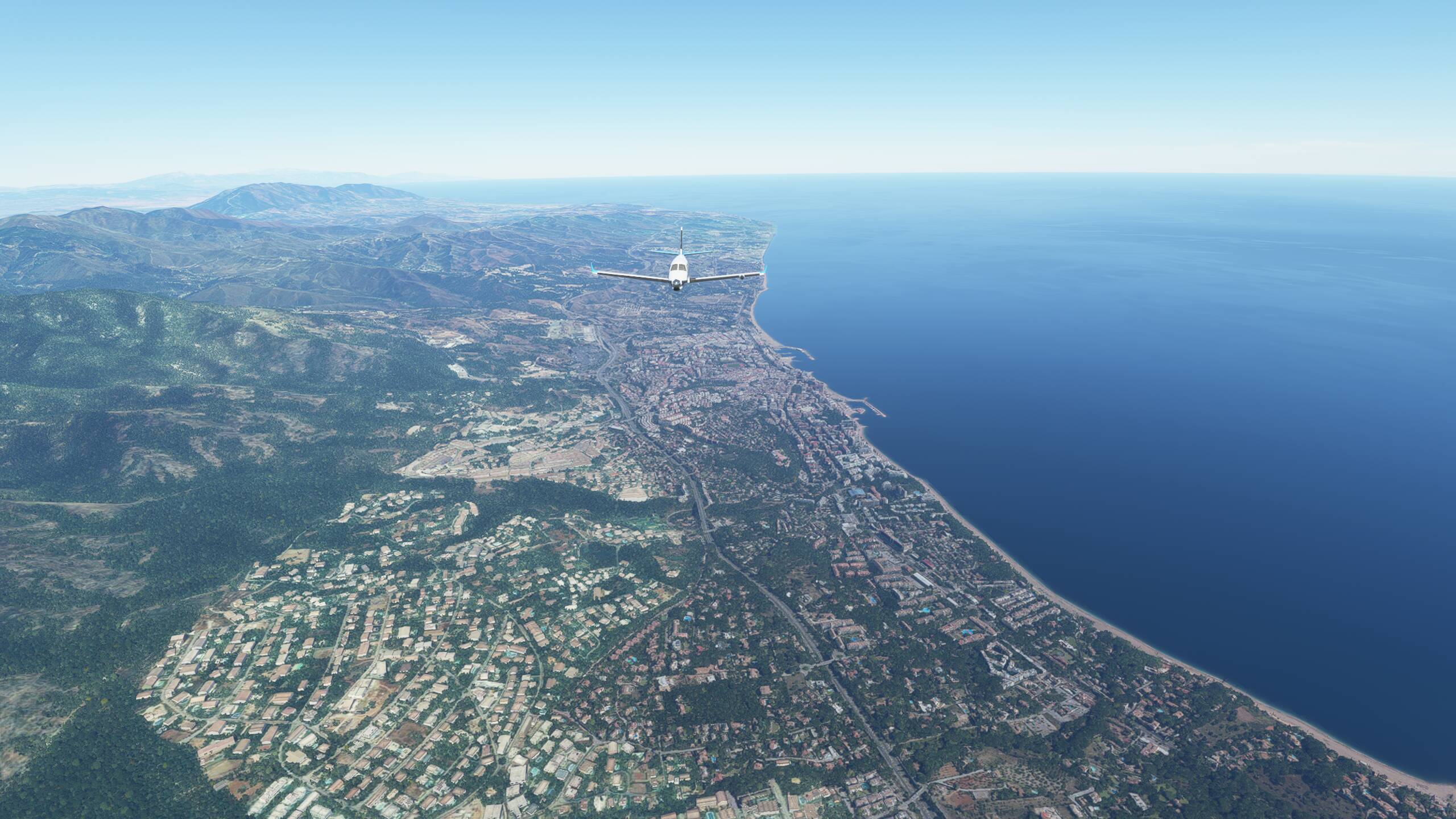
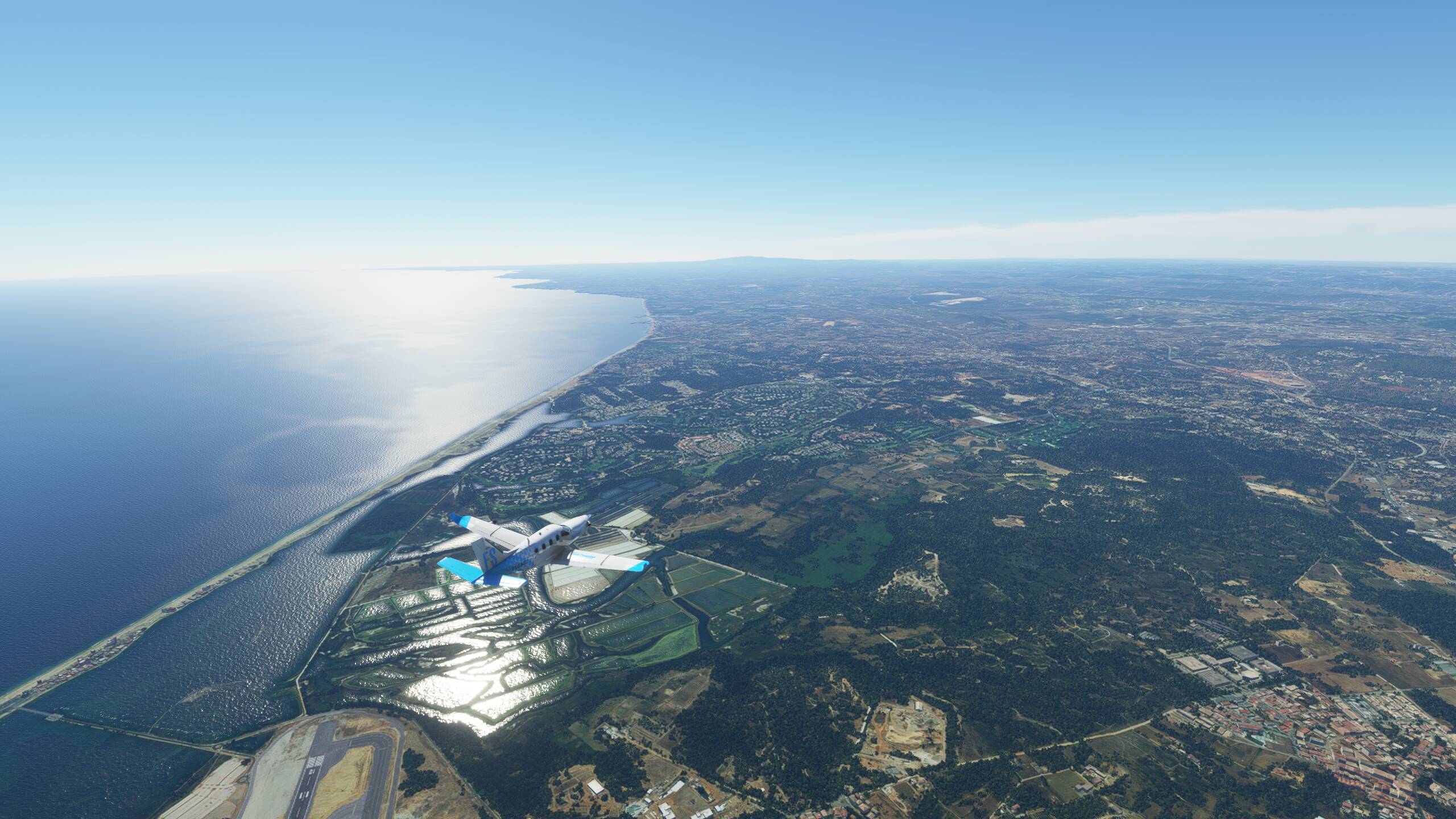
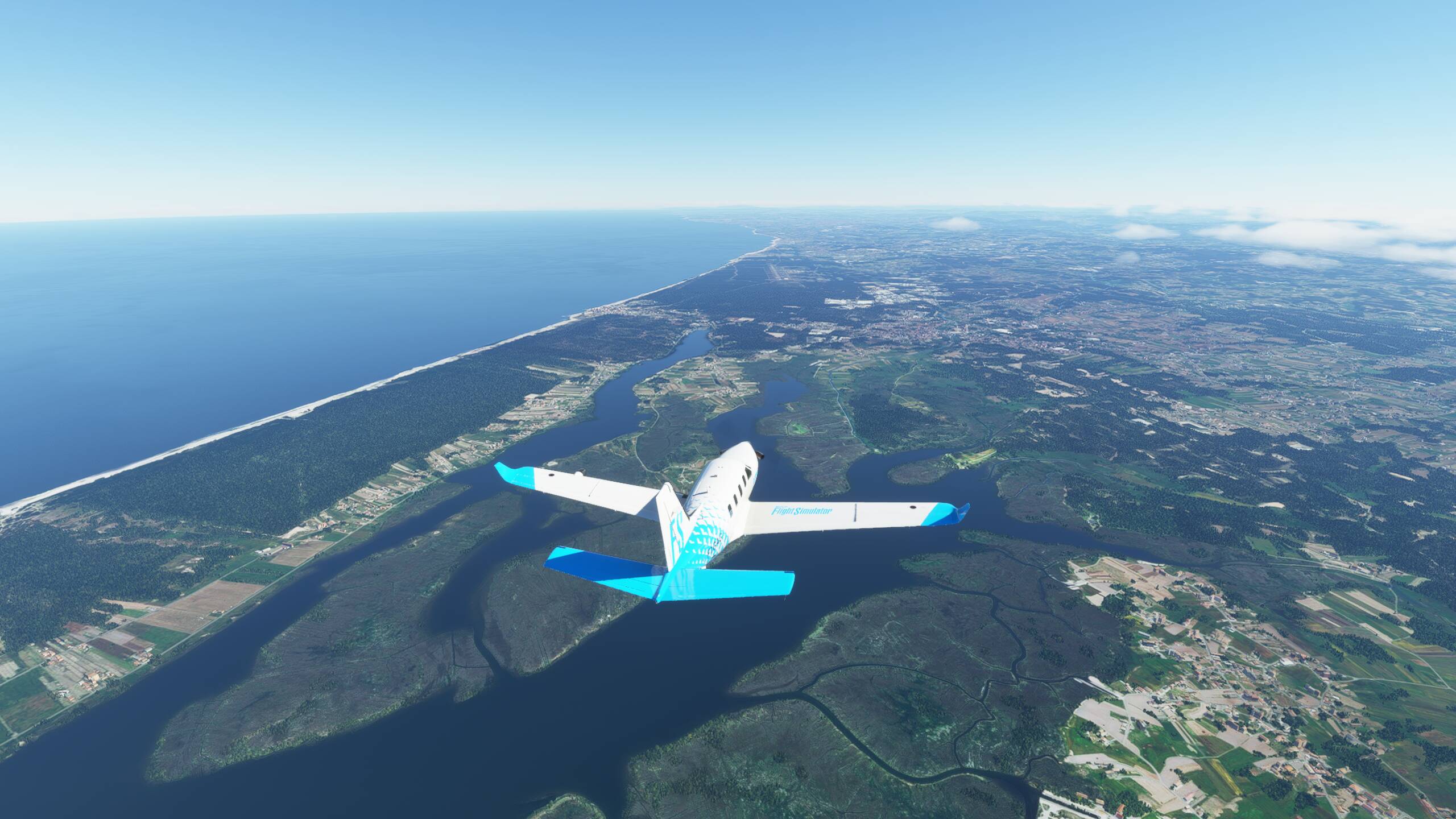
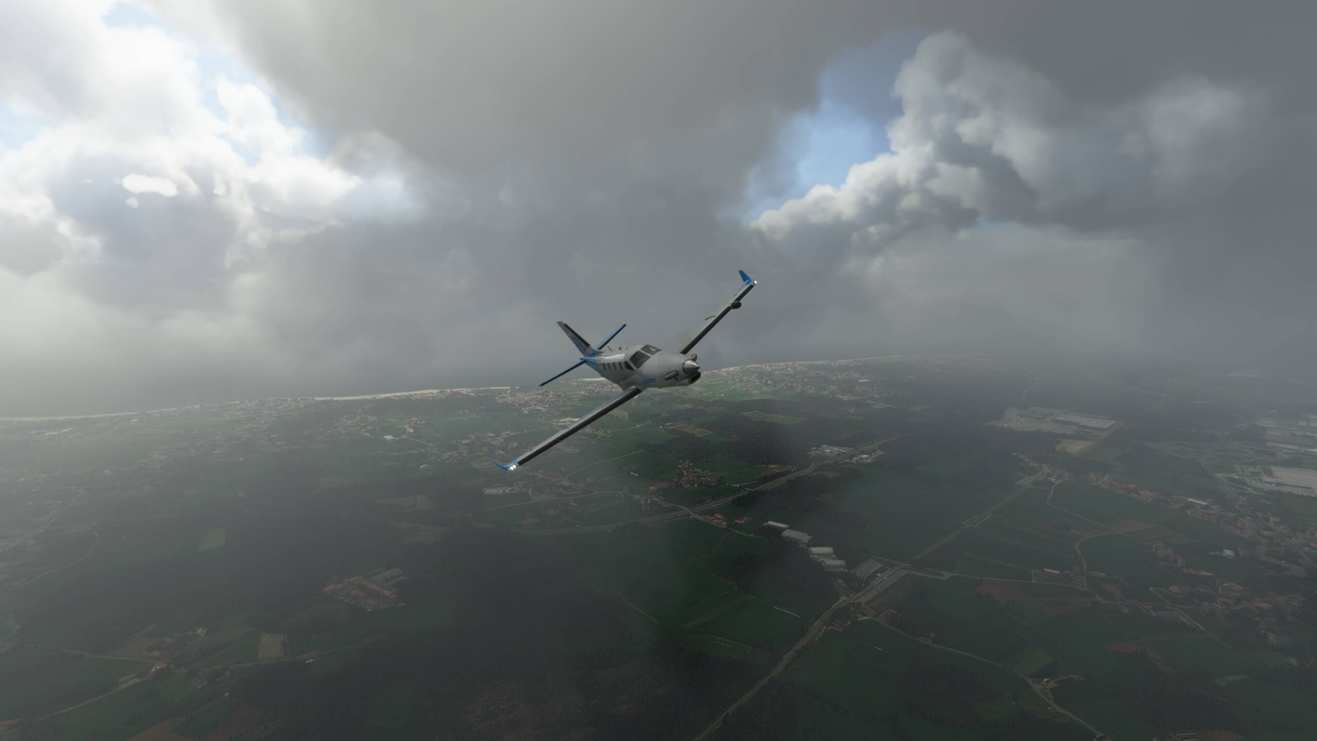
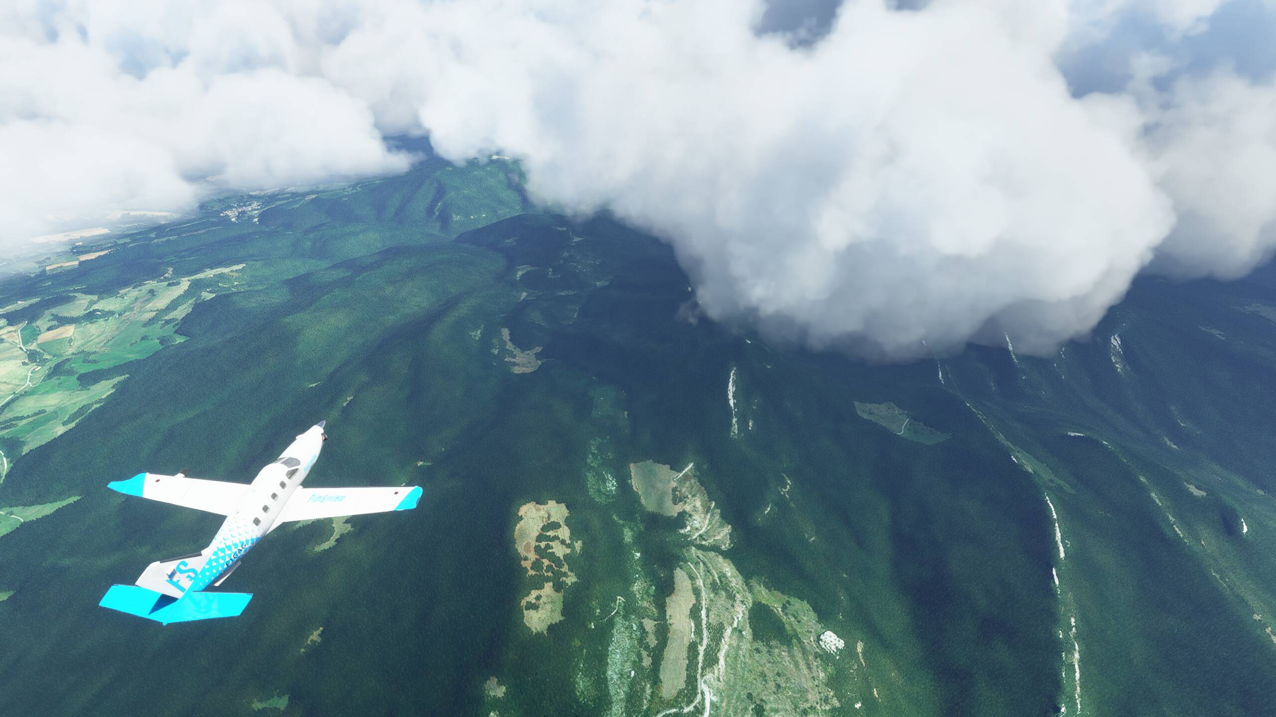
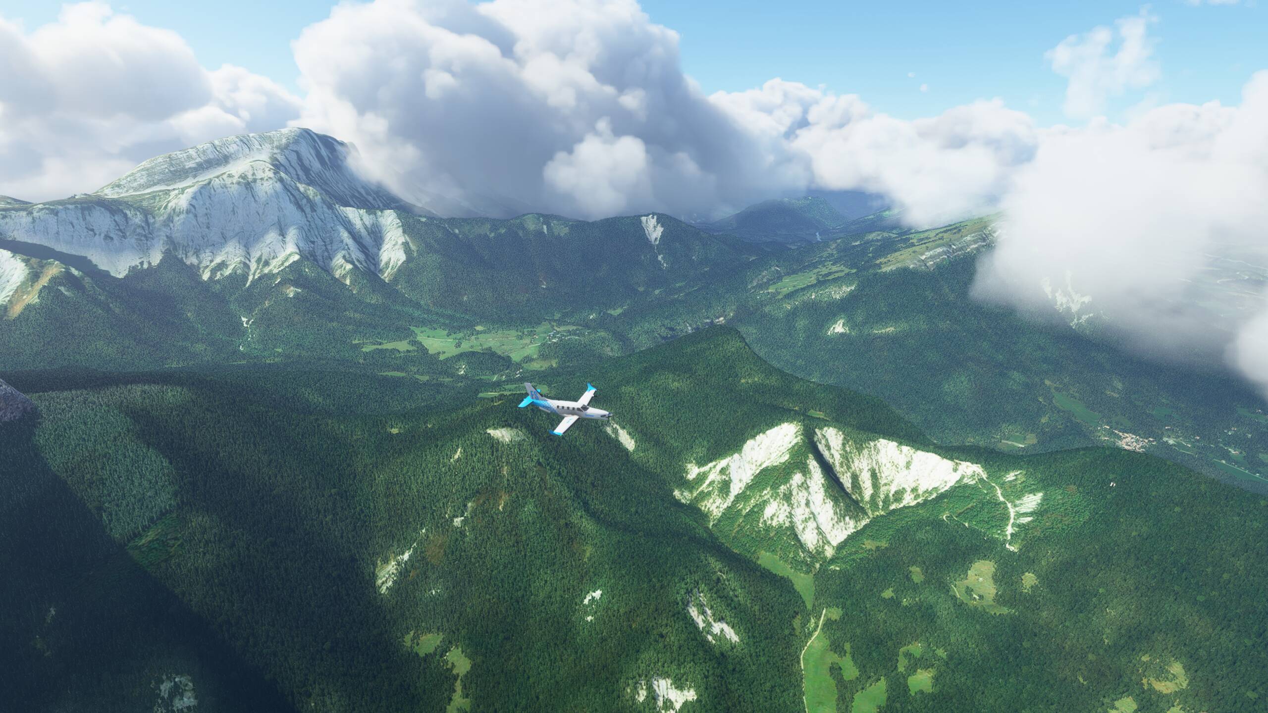
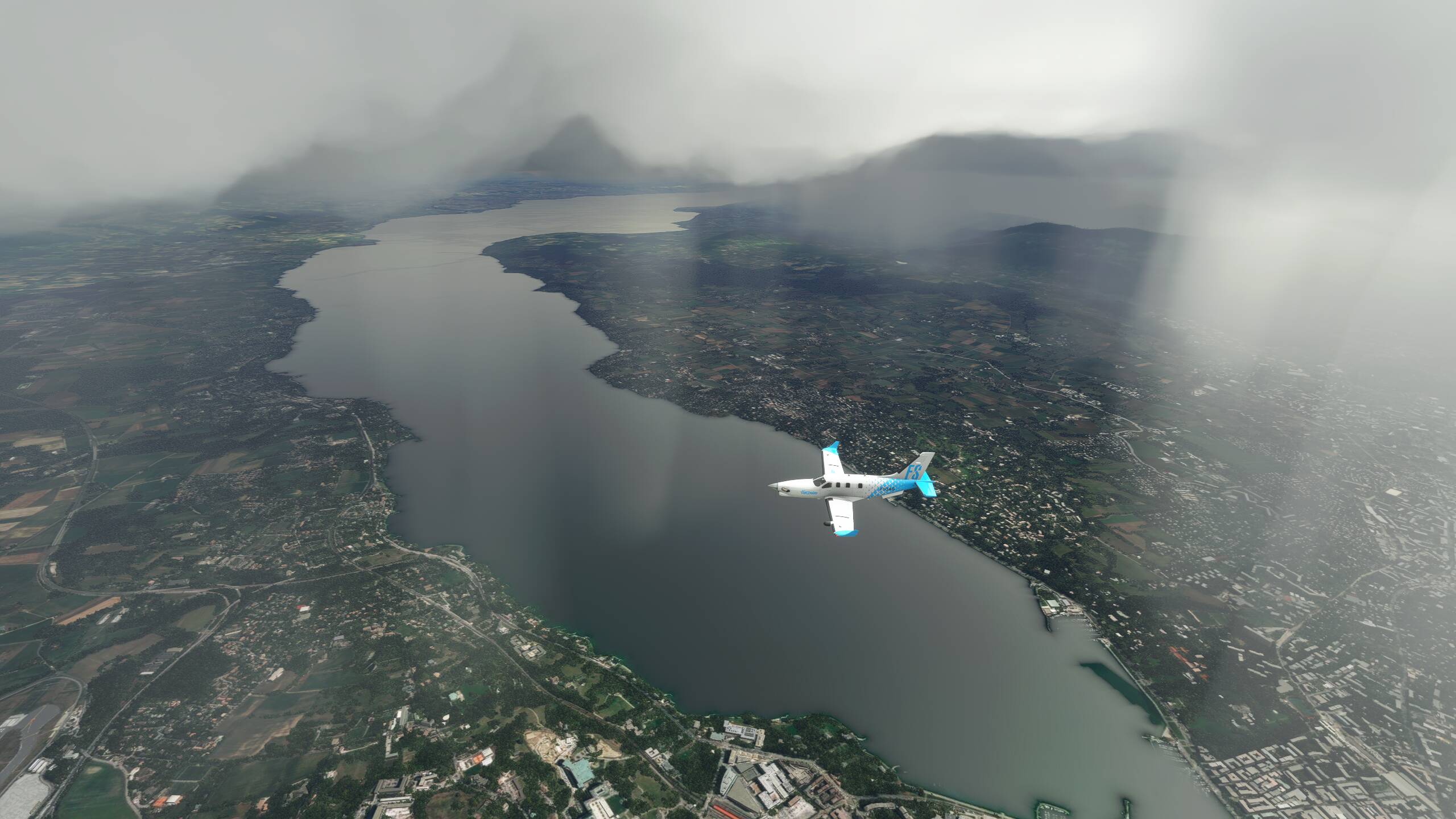
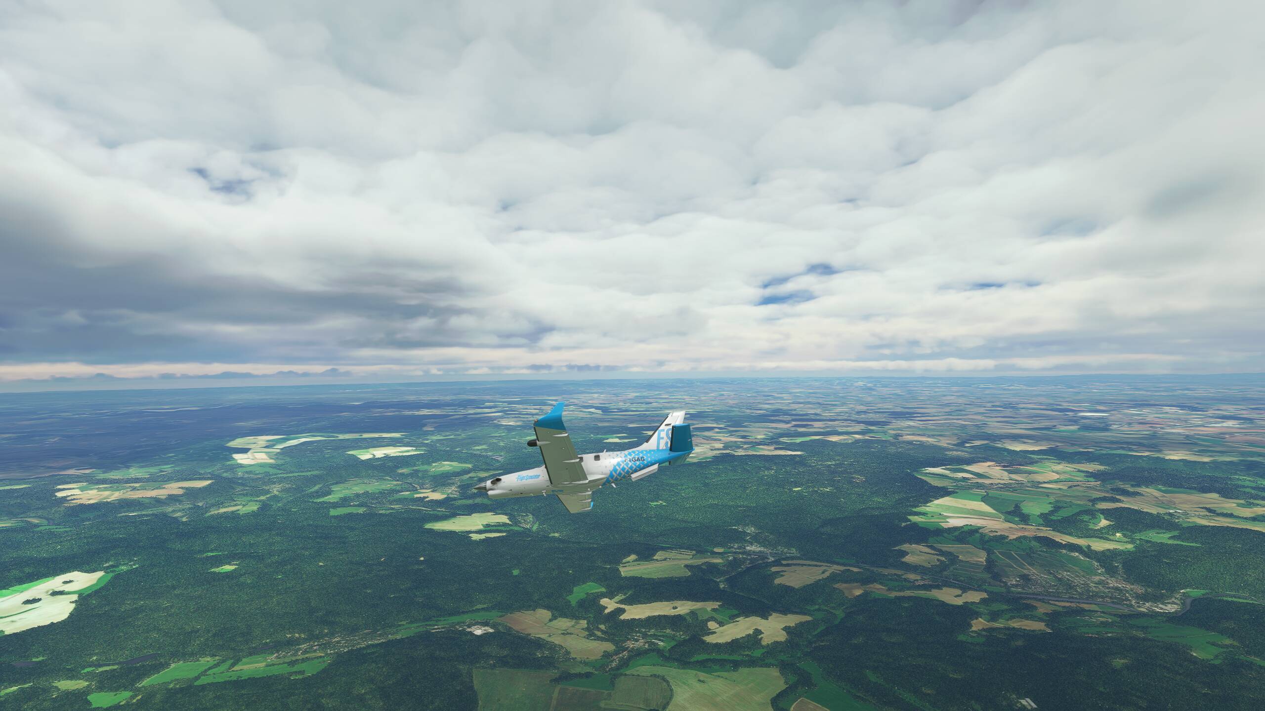
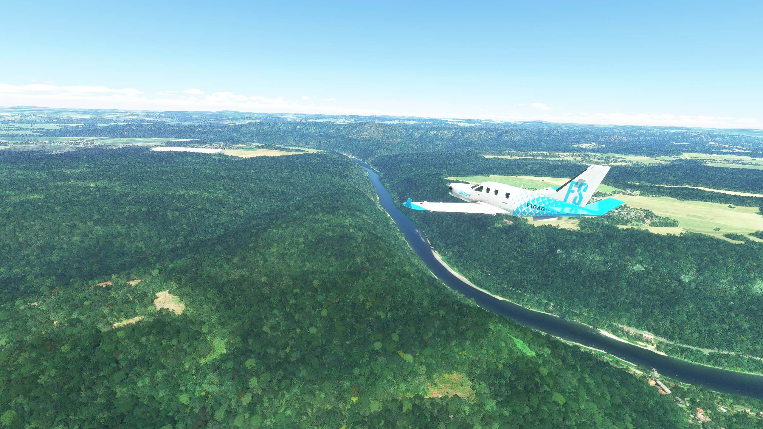
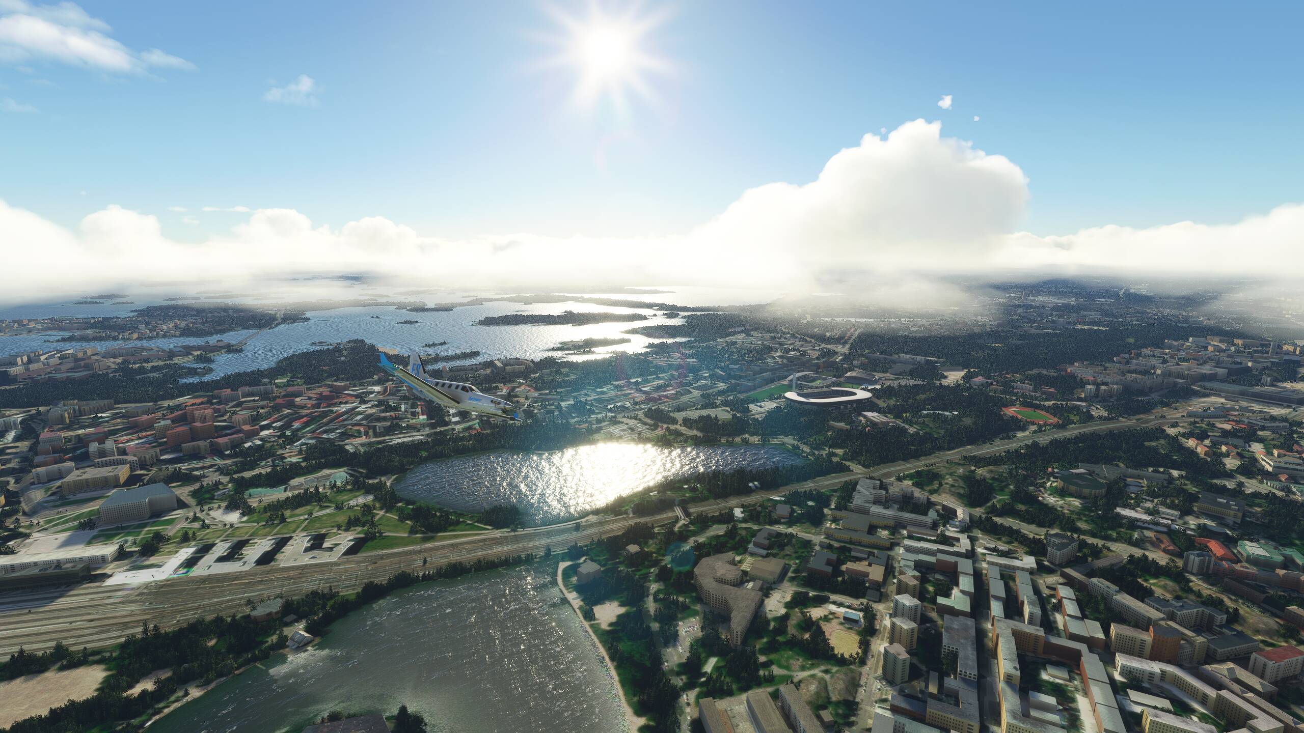
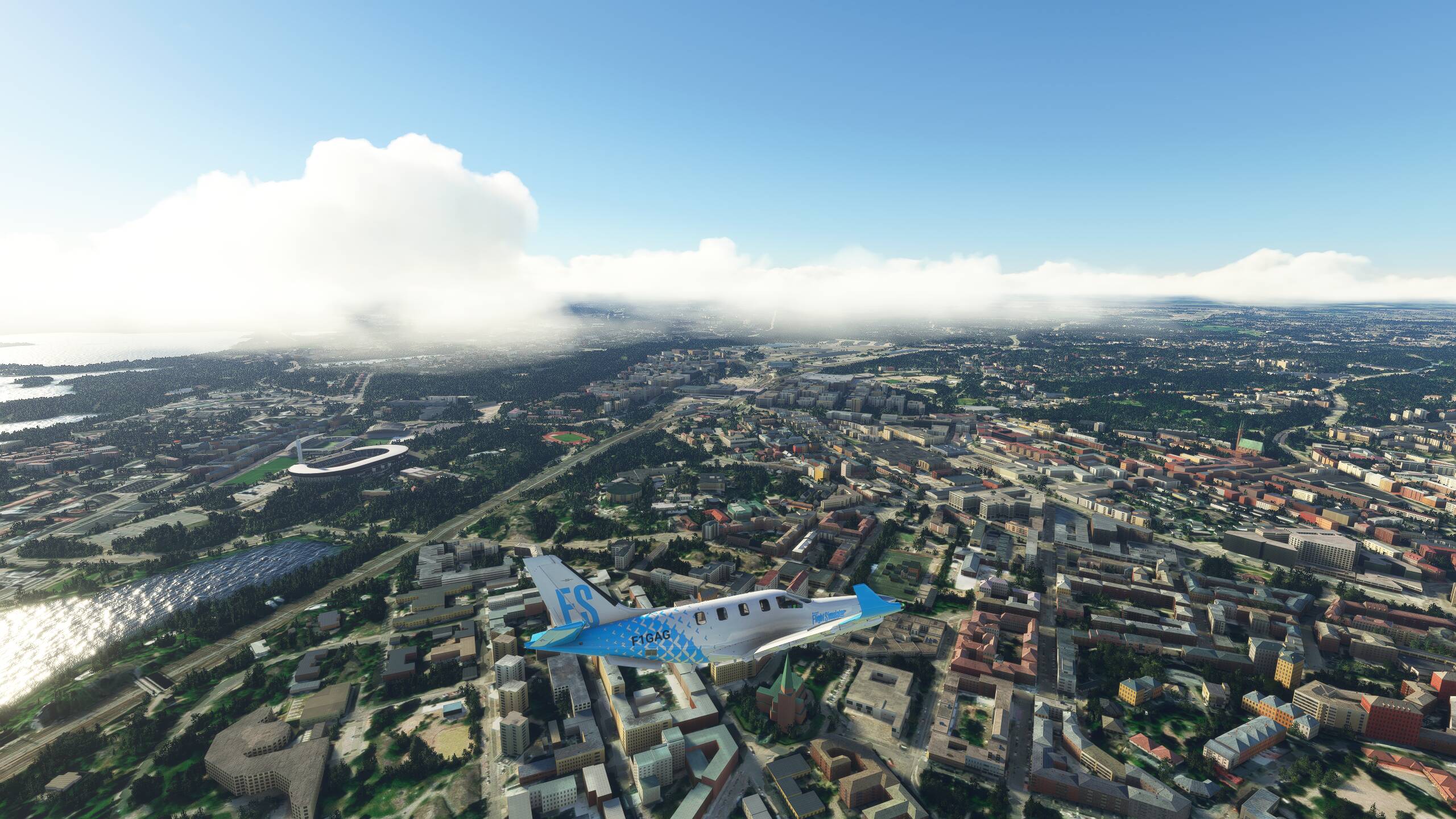
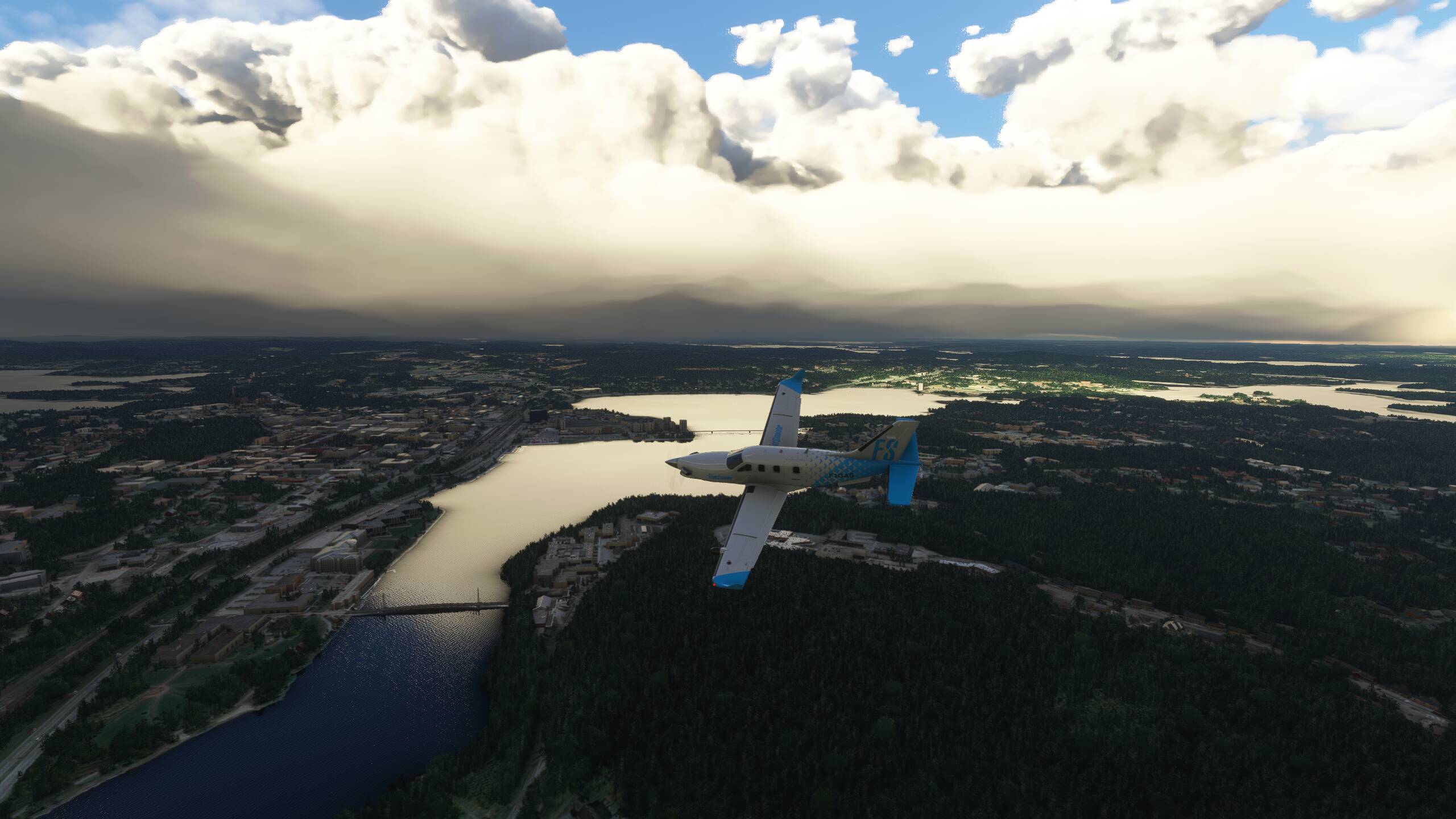
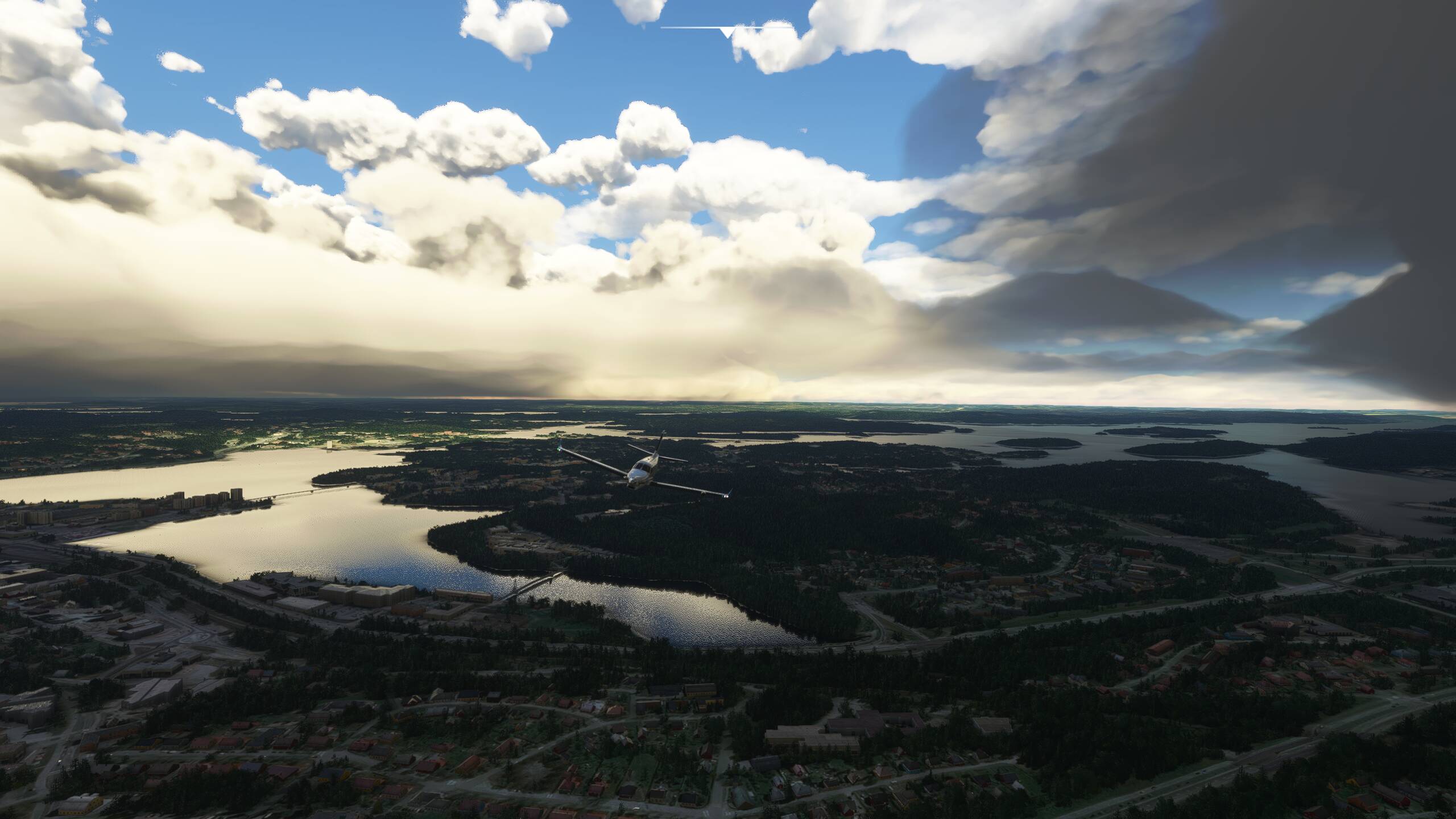
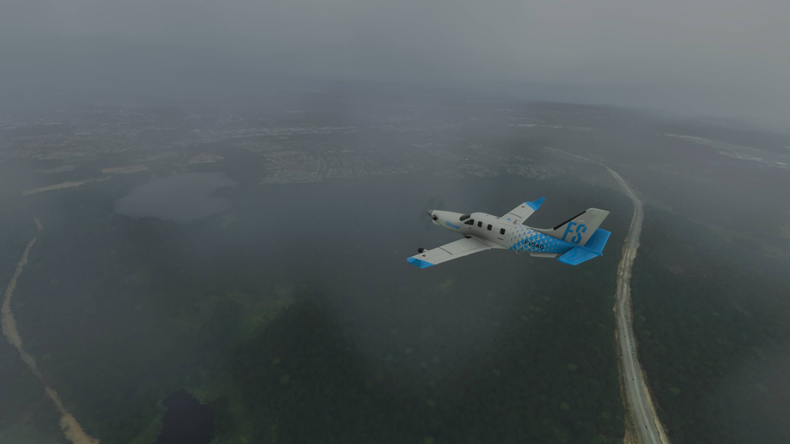
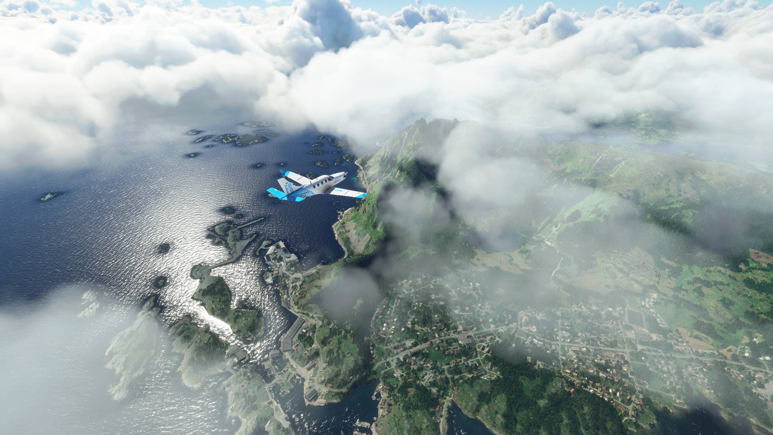
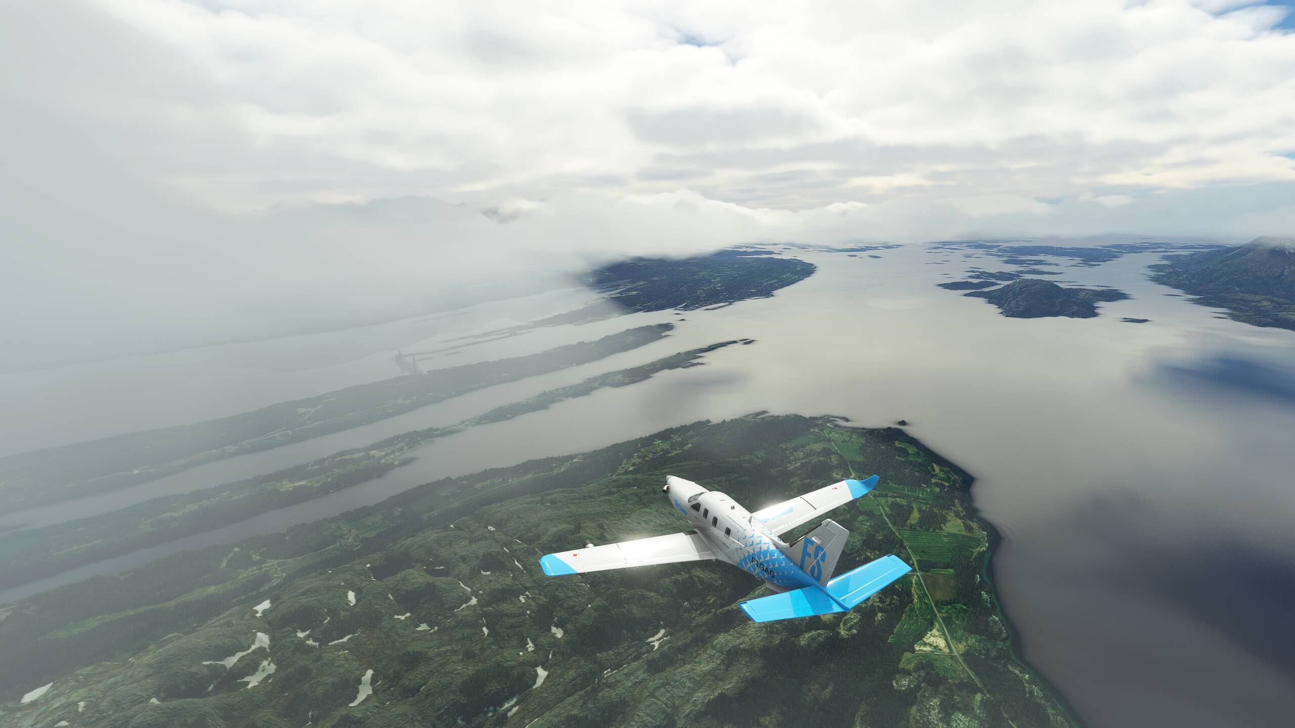
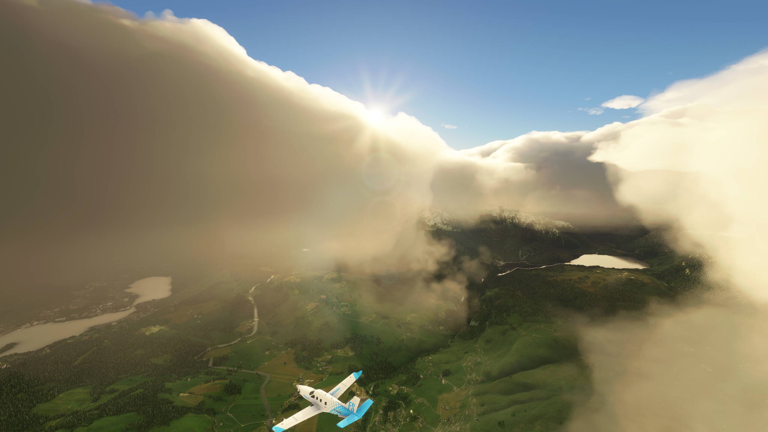
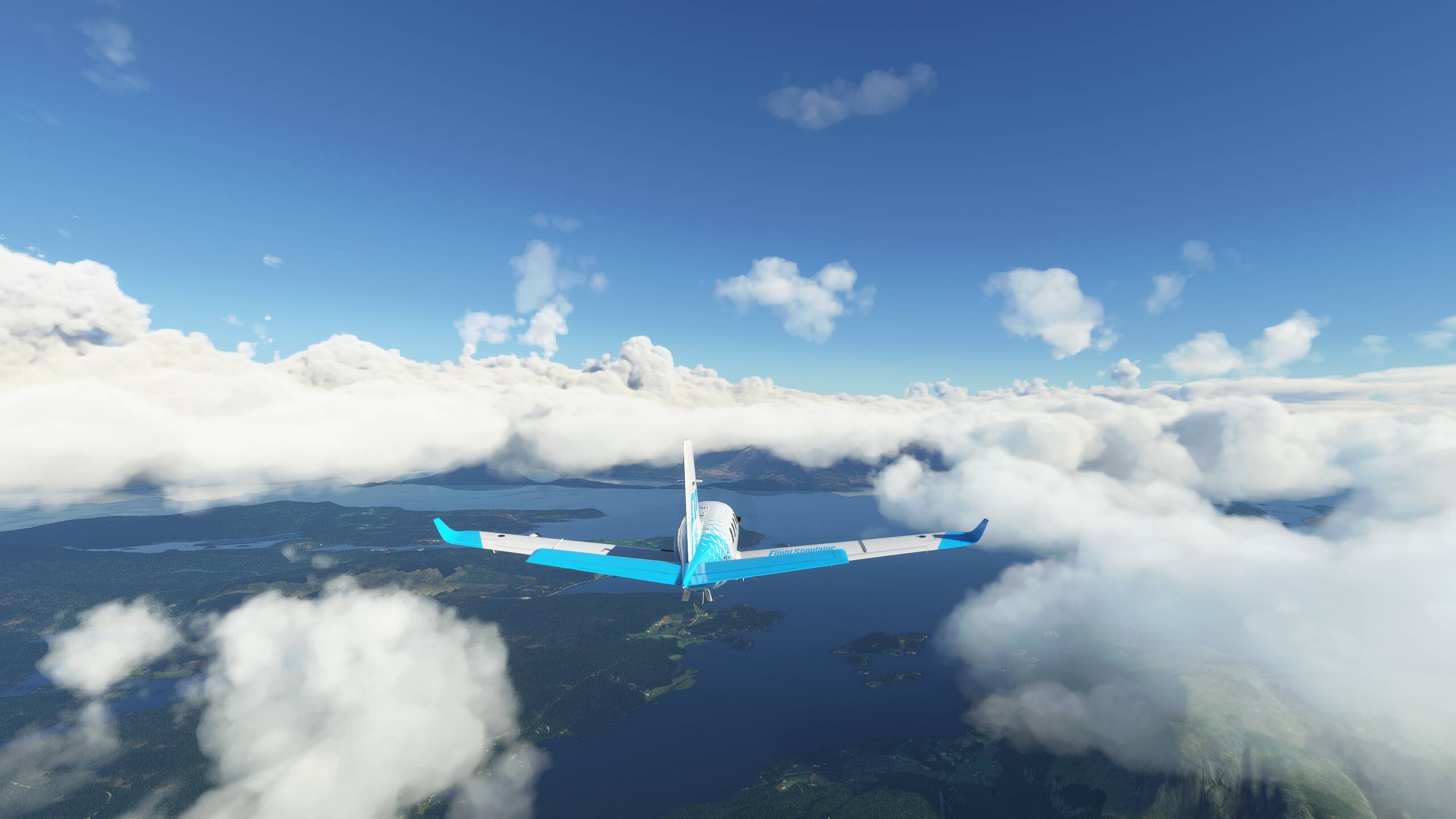
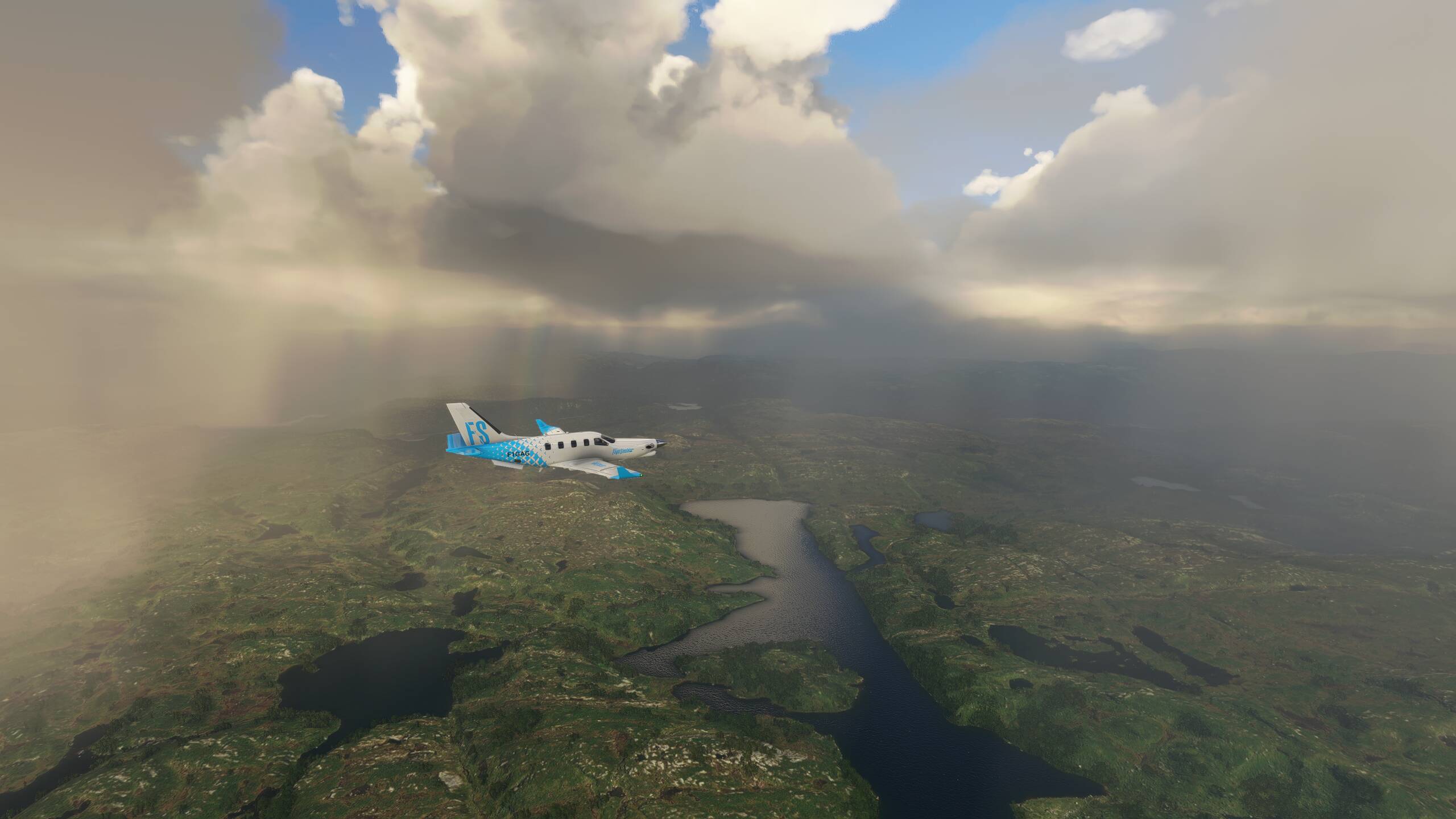
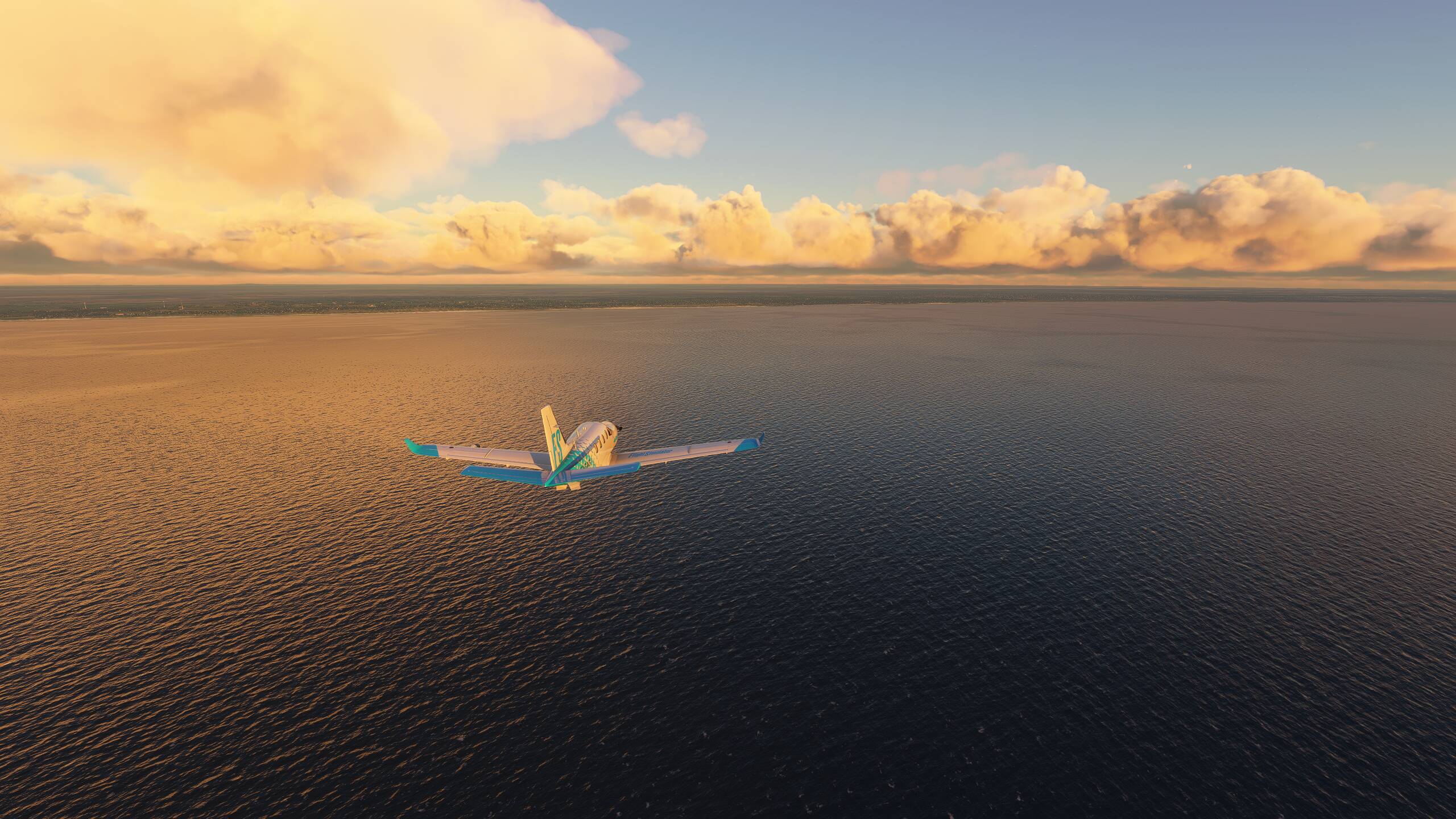
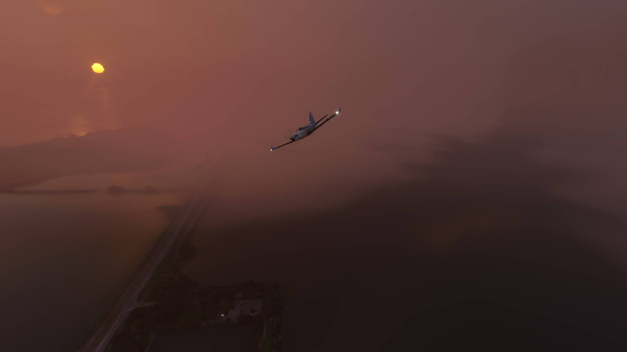
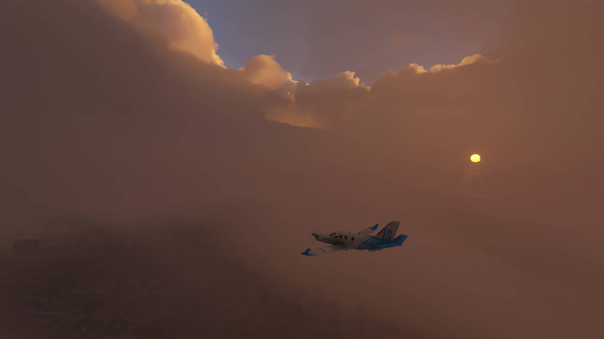
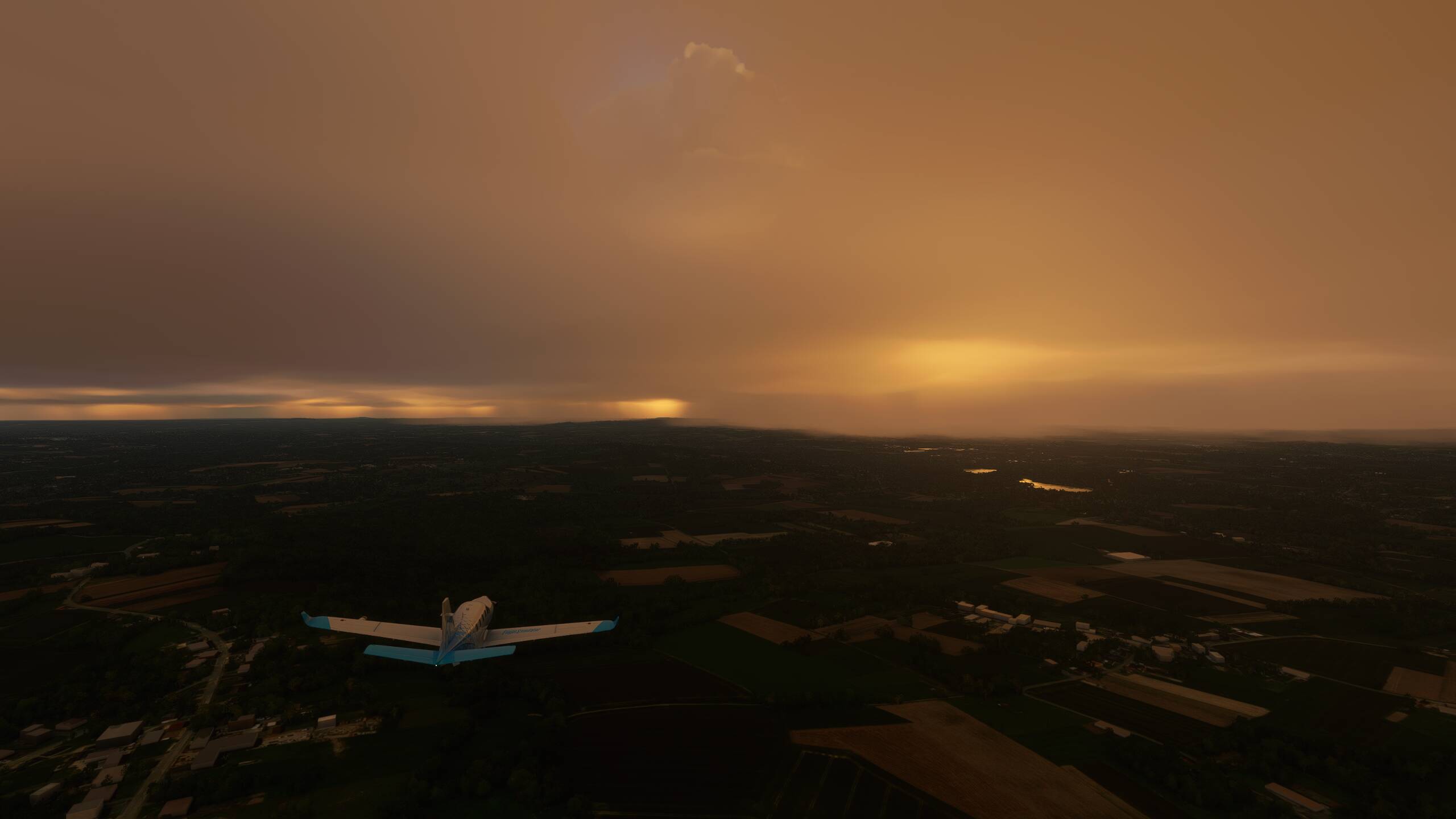
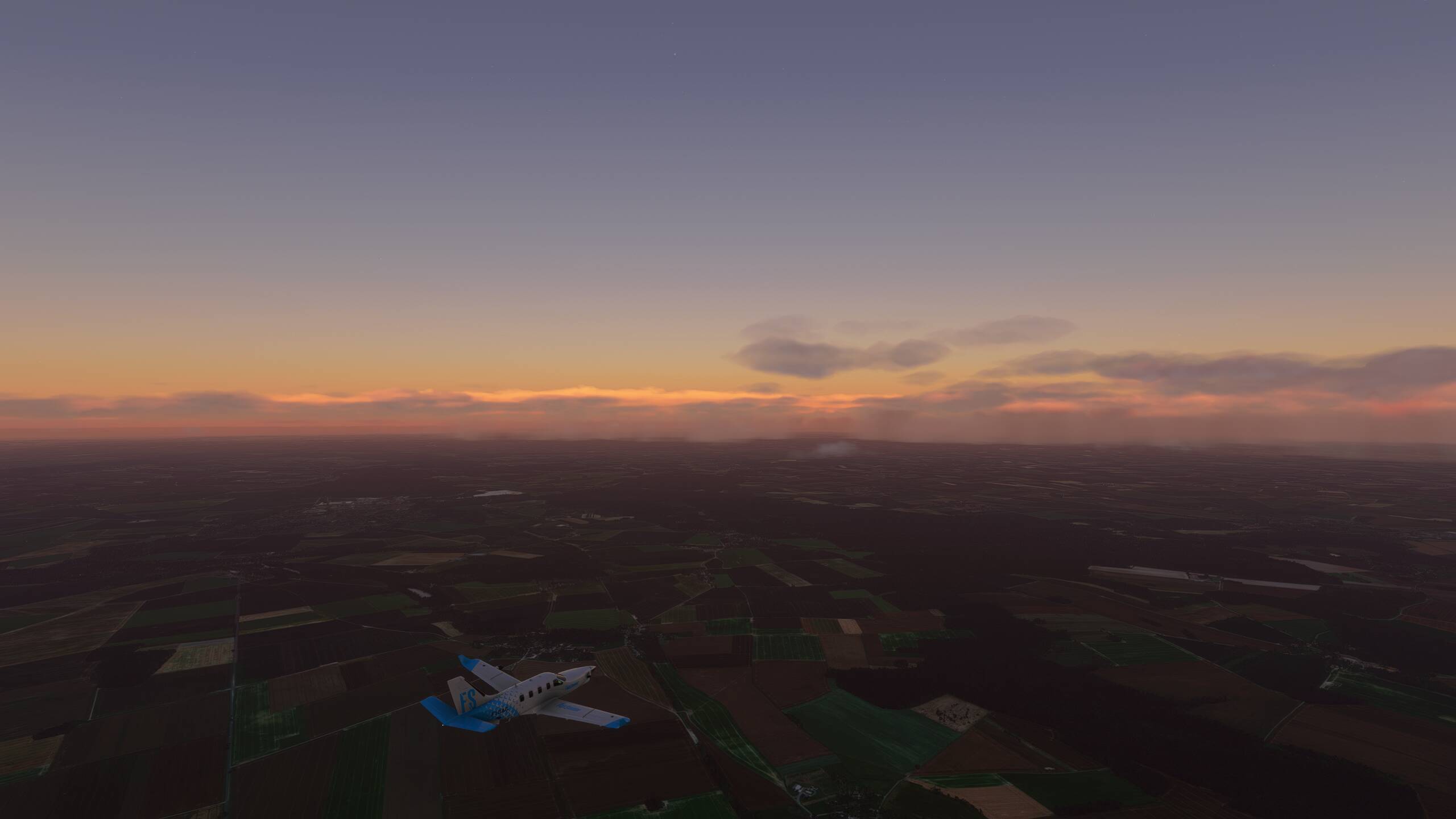
A little glimpse of sunshine maybe as we head North East, but it looks more ominous ahead
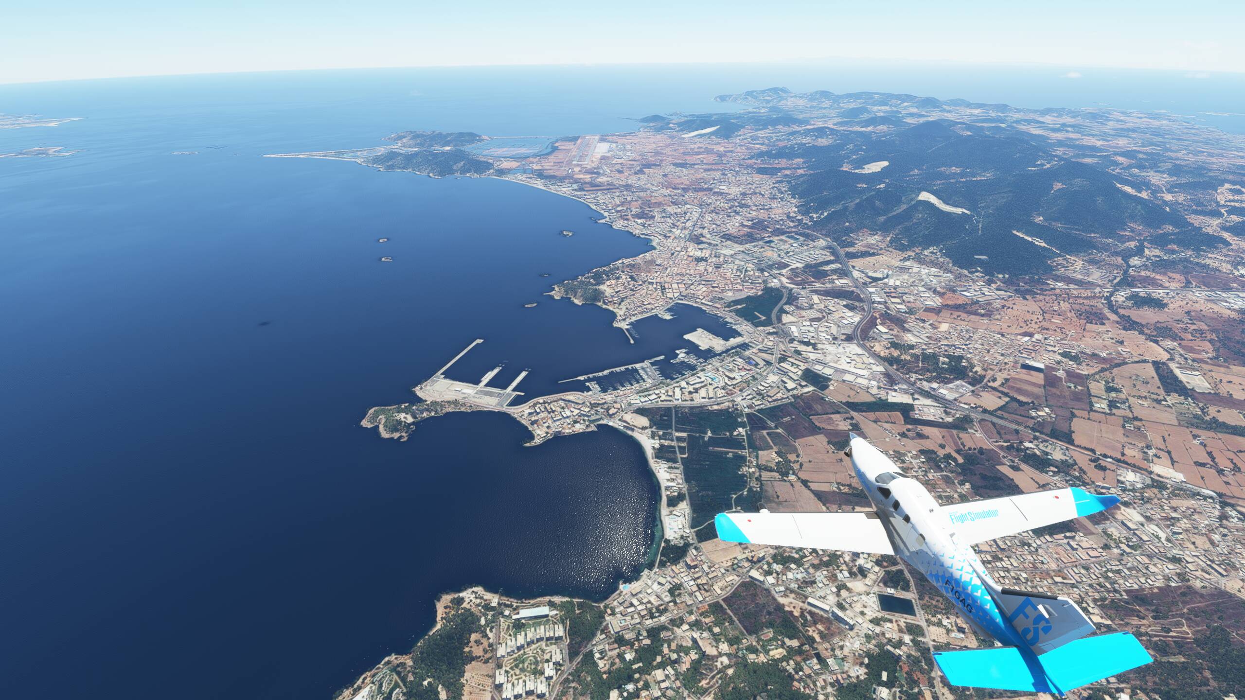
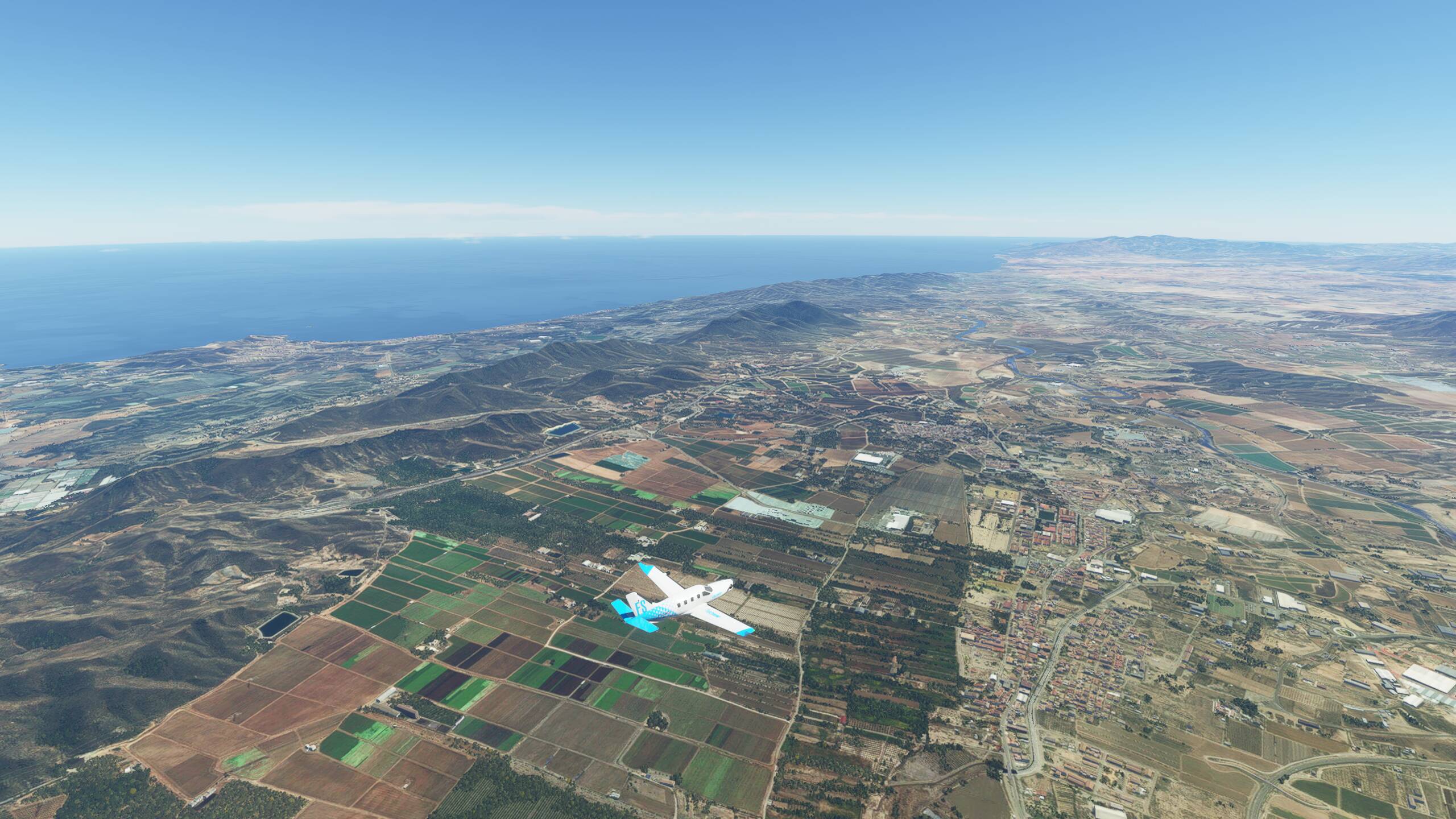
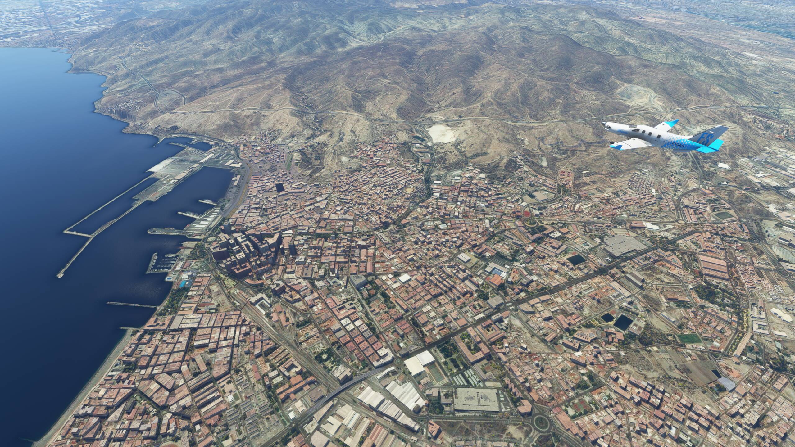
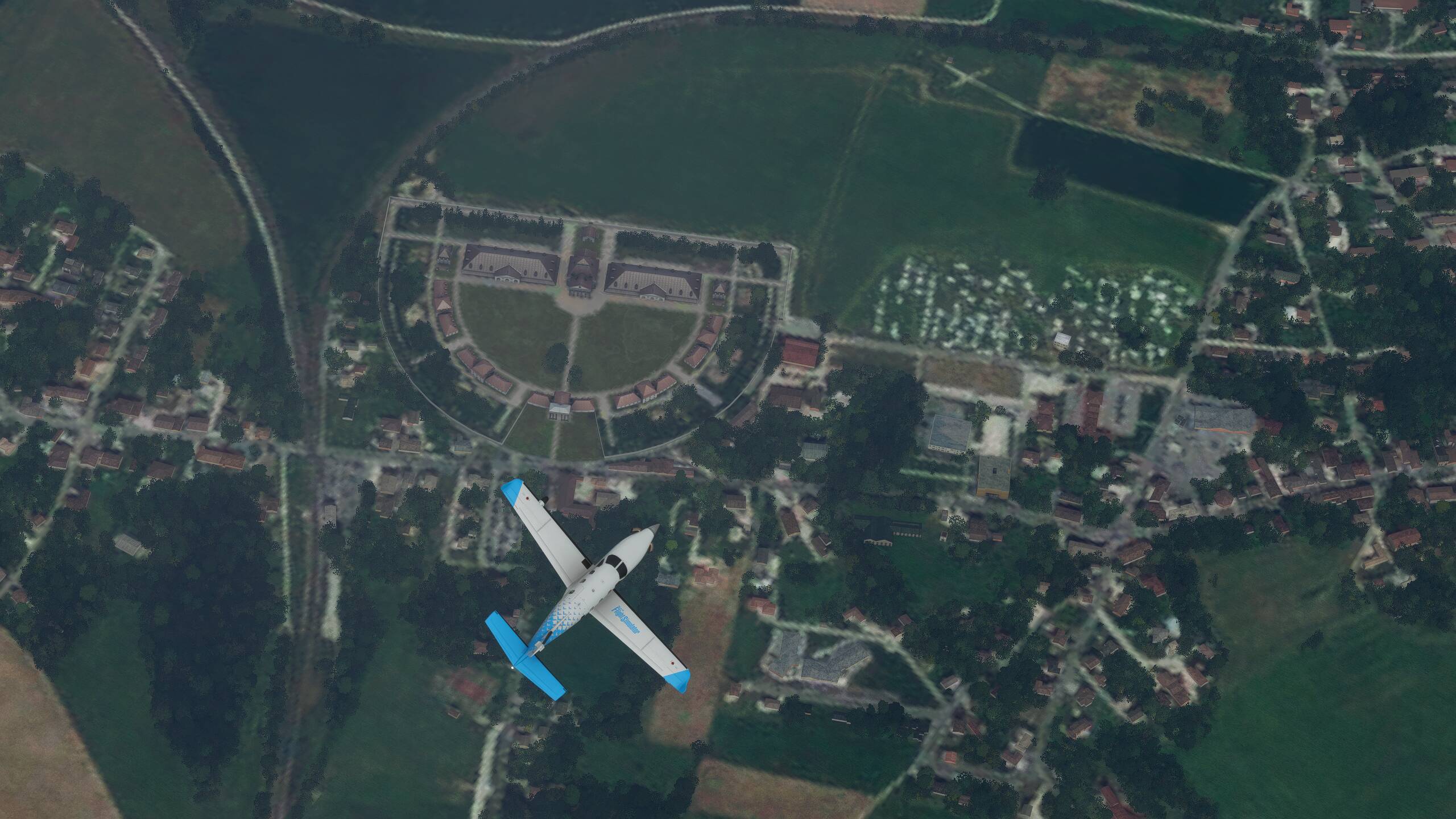
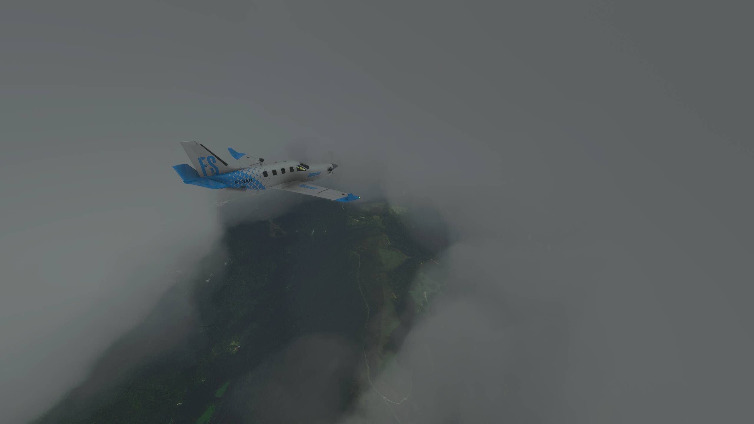
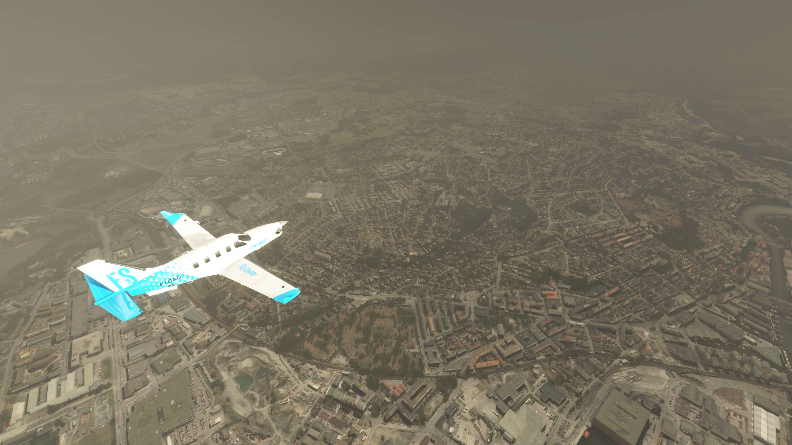
There, below us, is Arc-Et-Senans
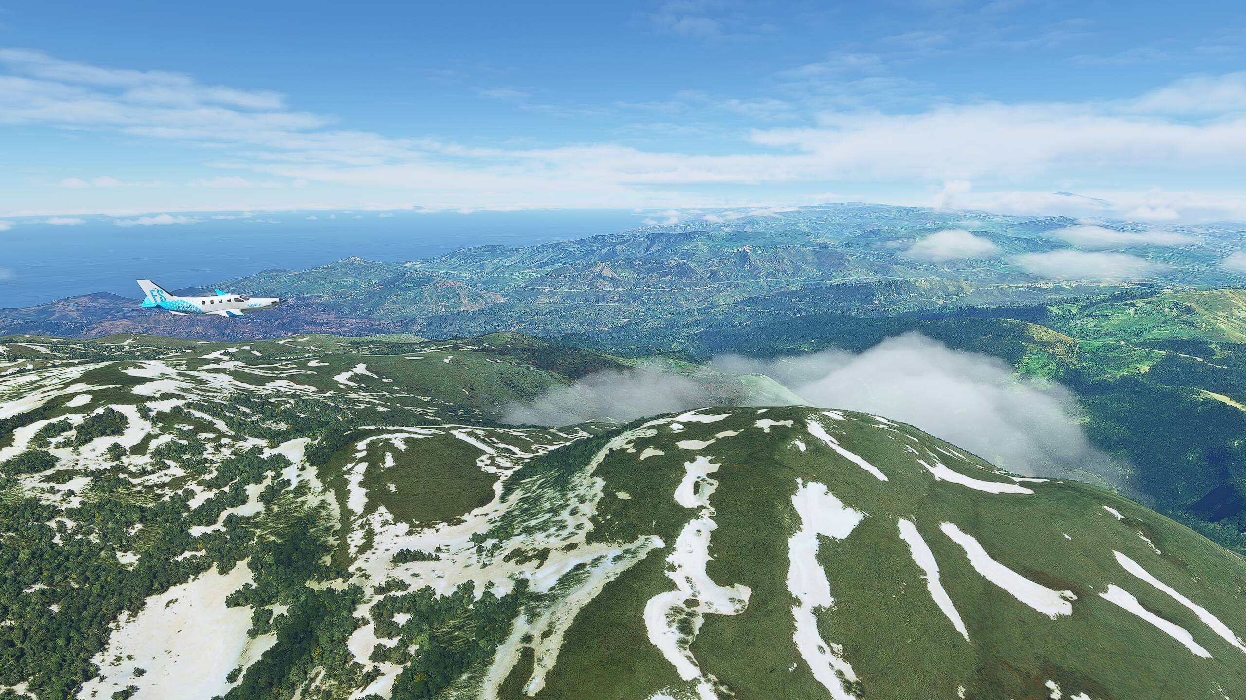
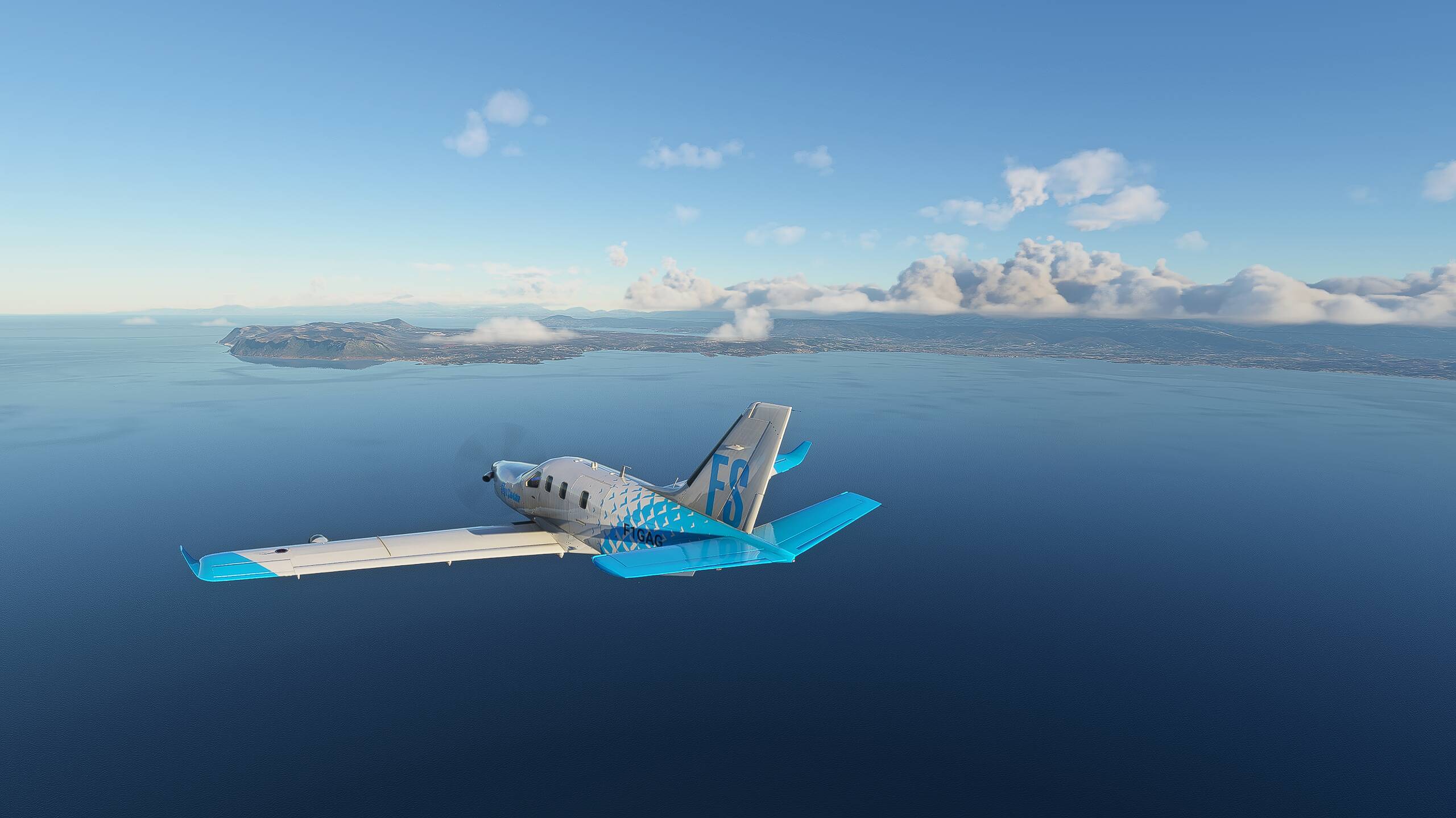
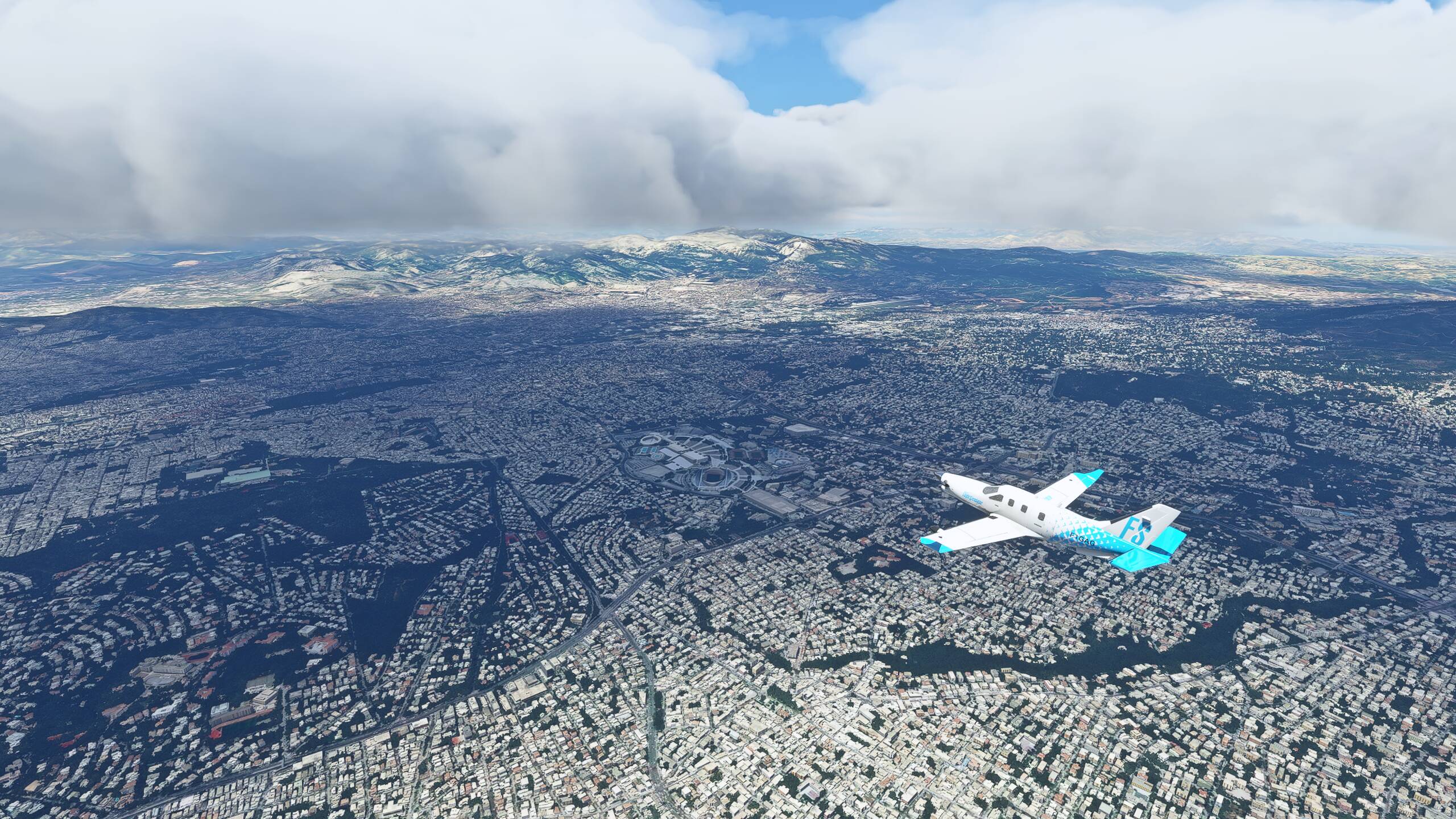
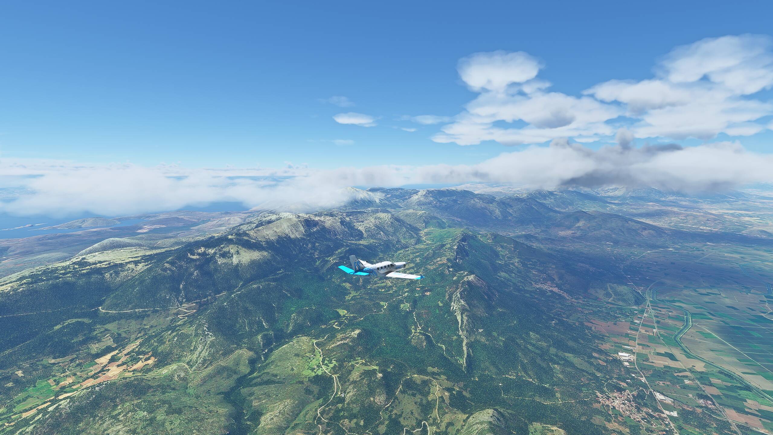
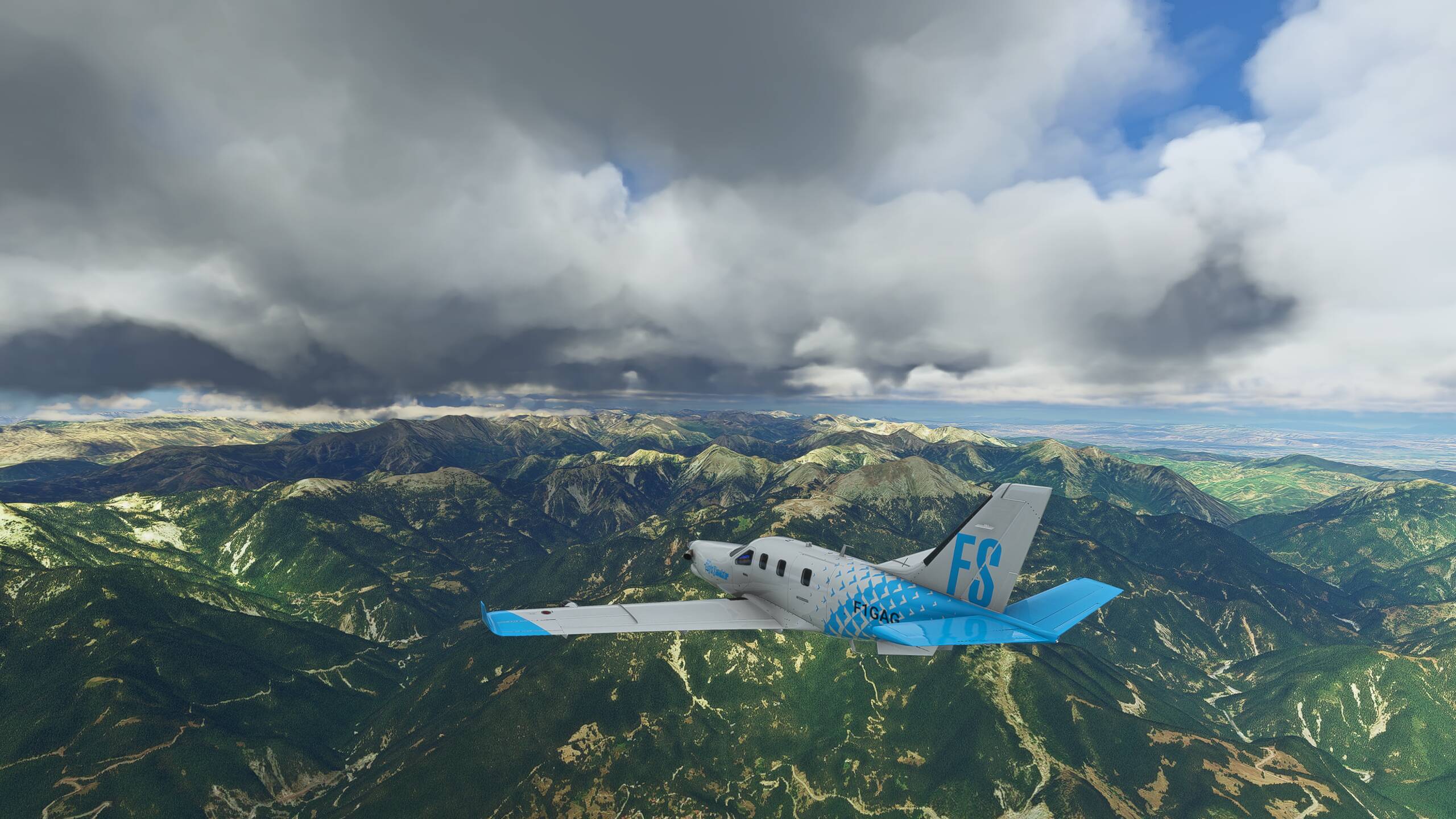
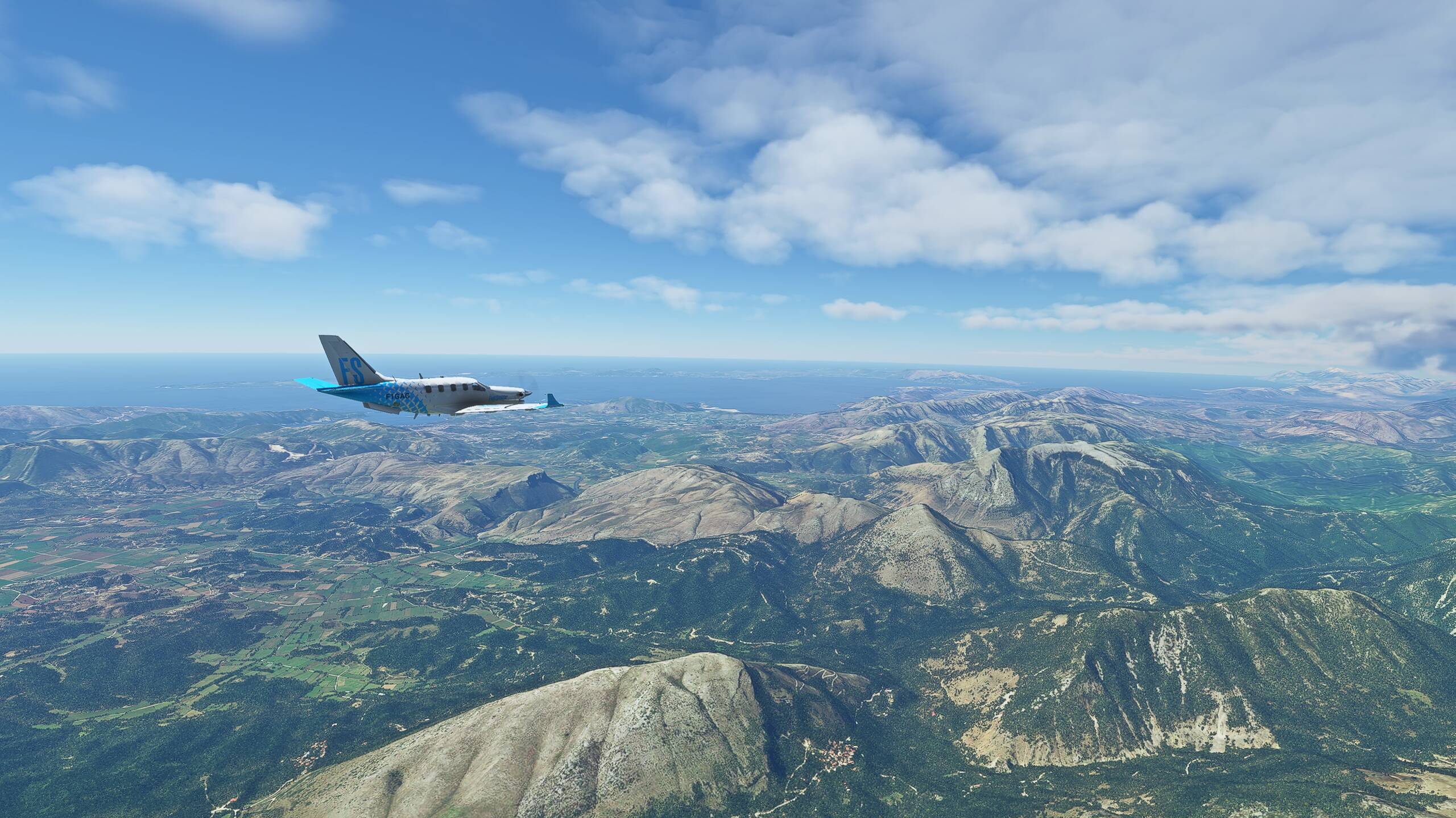
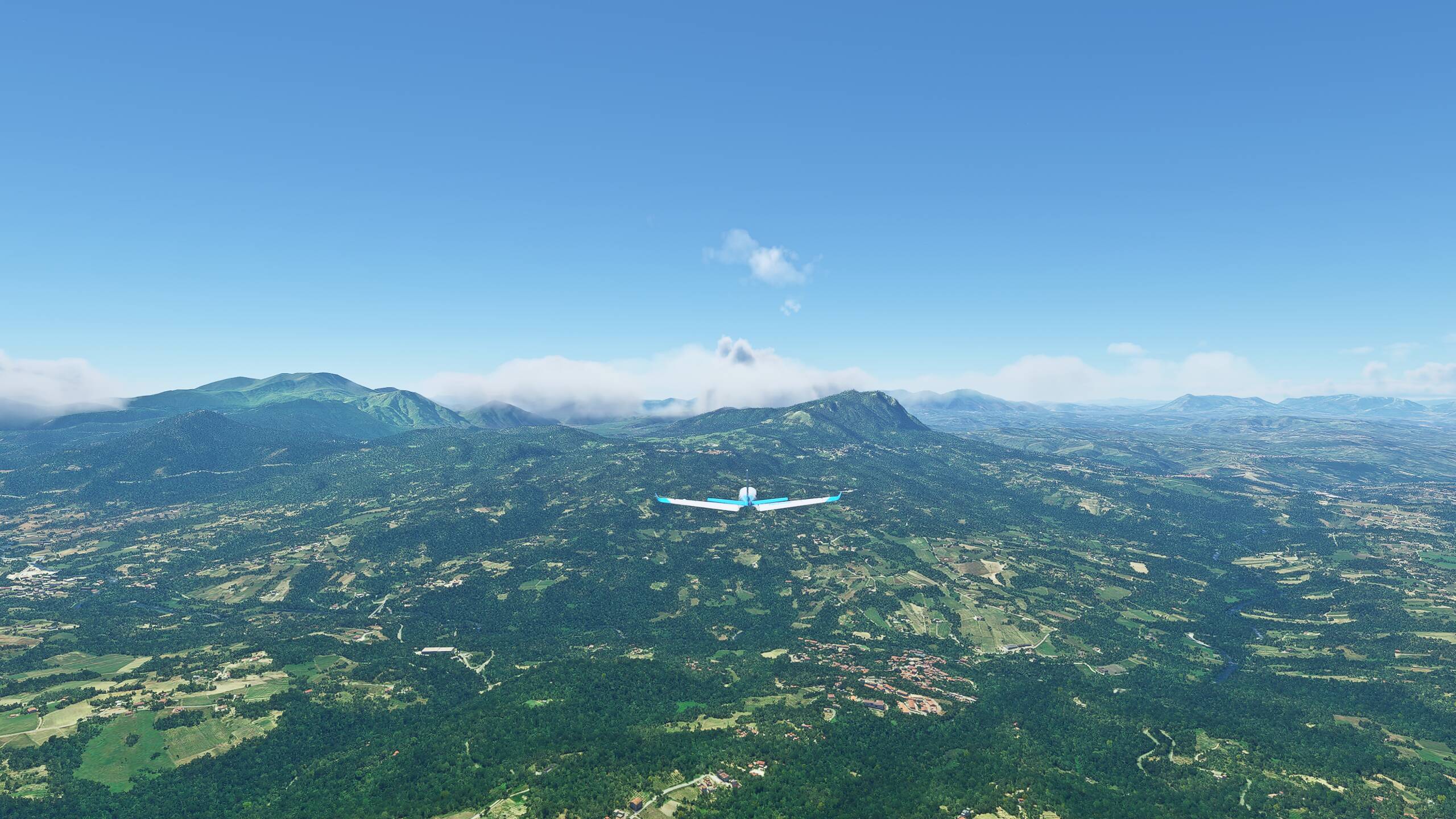
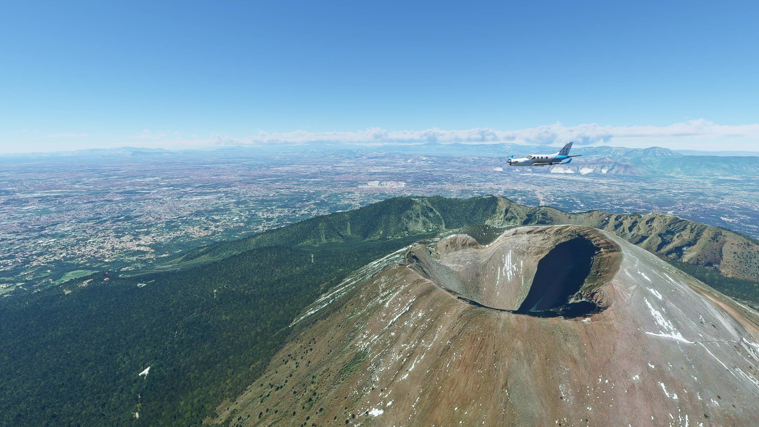
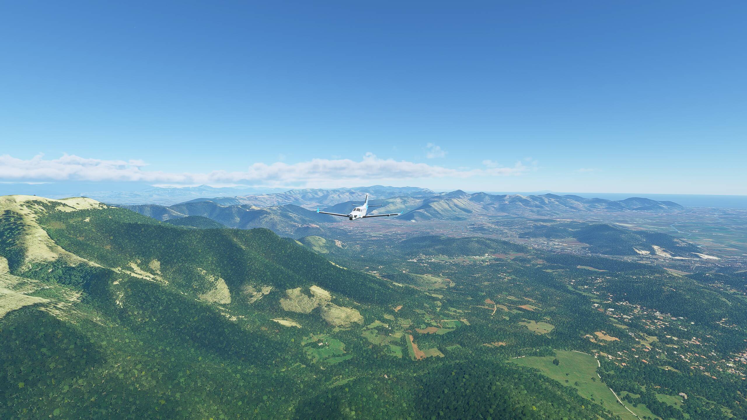
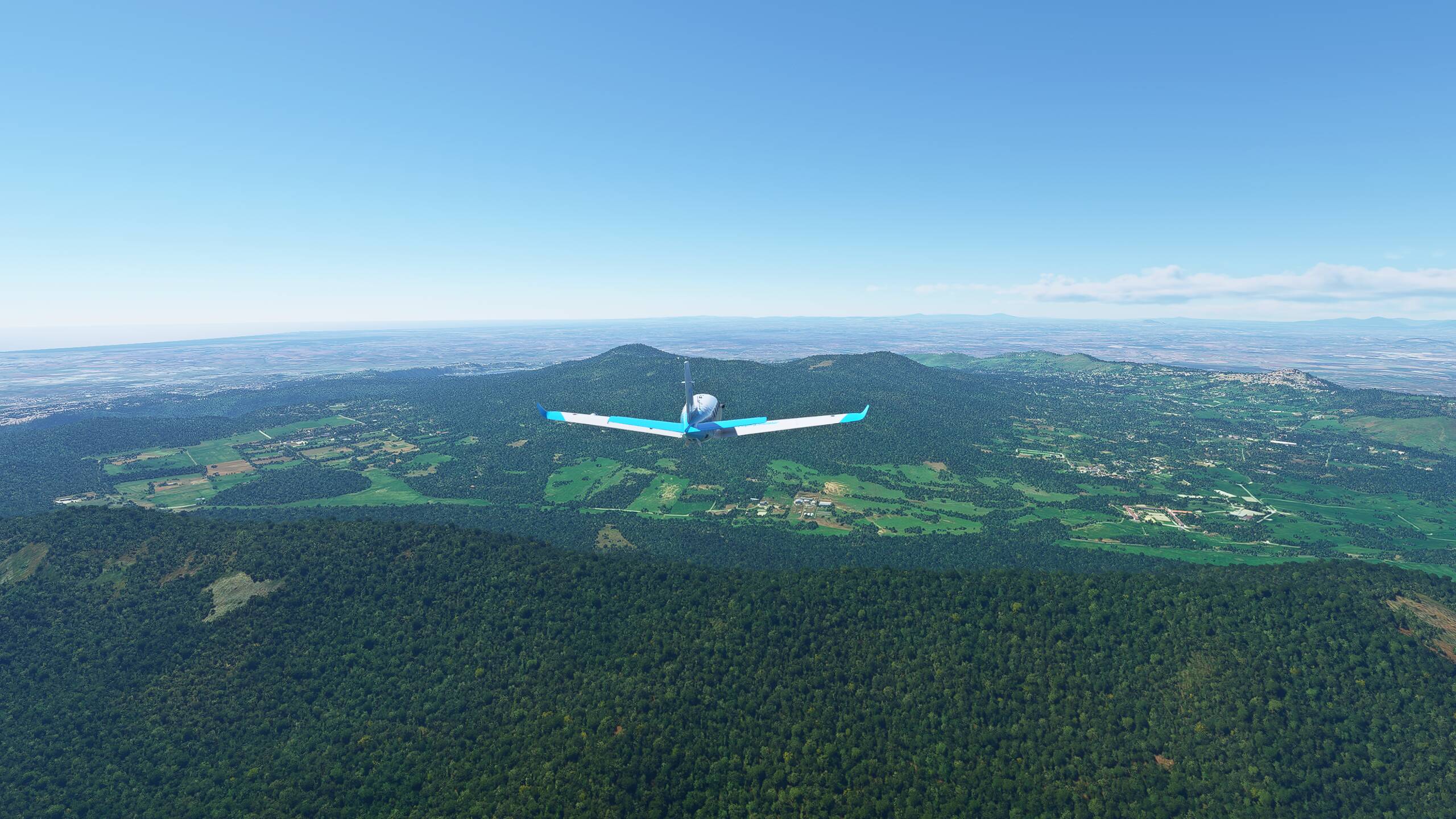
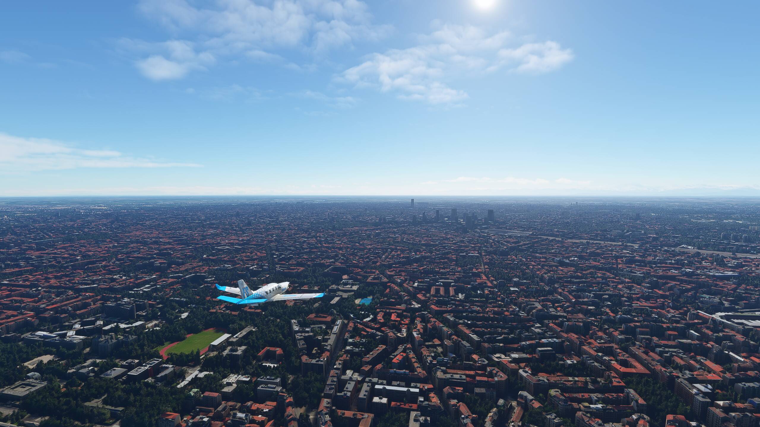
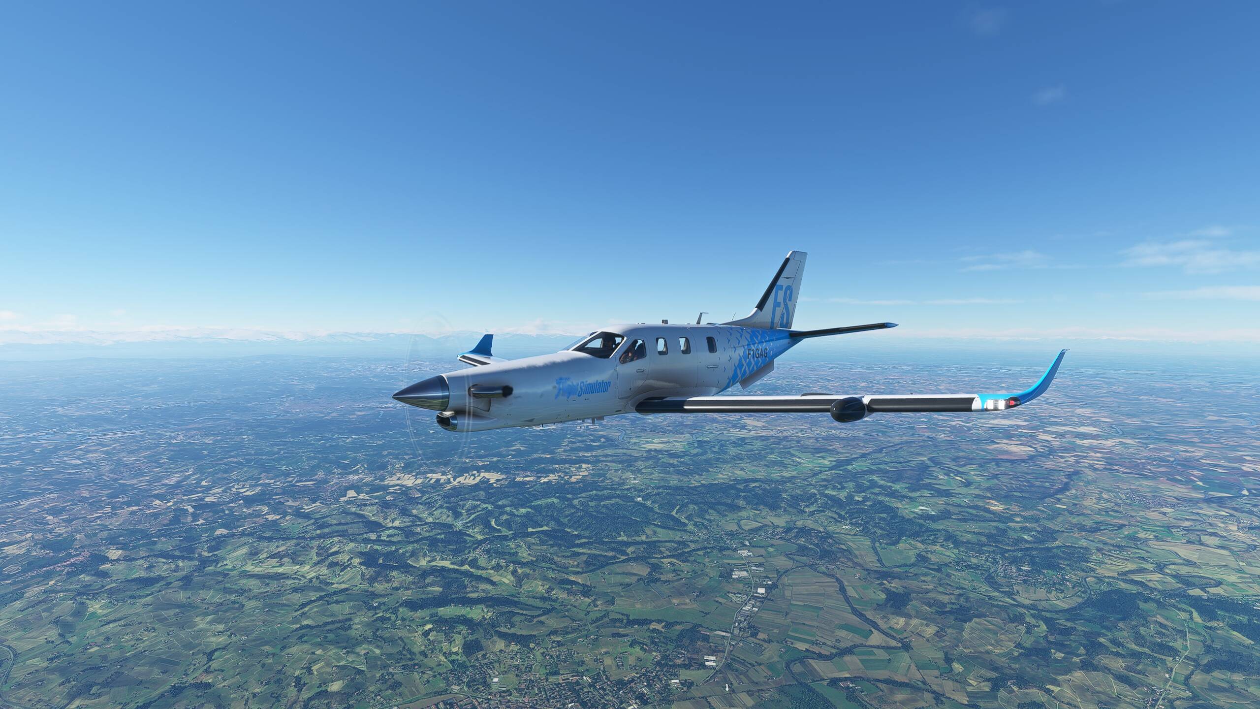
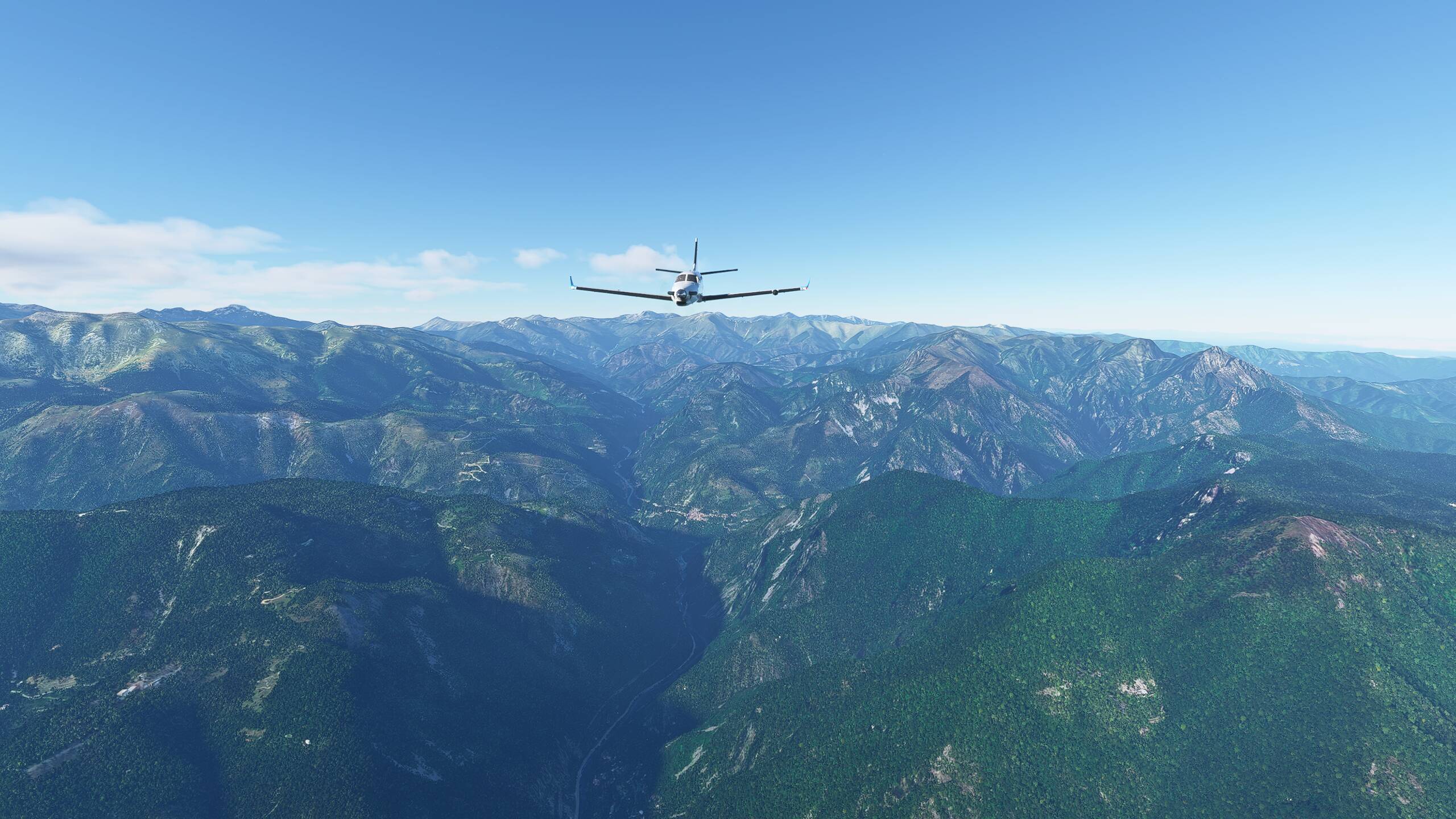
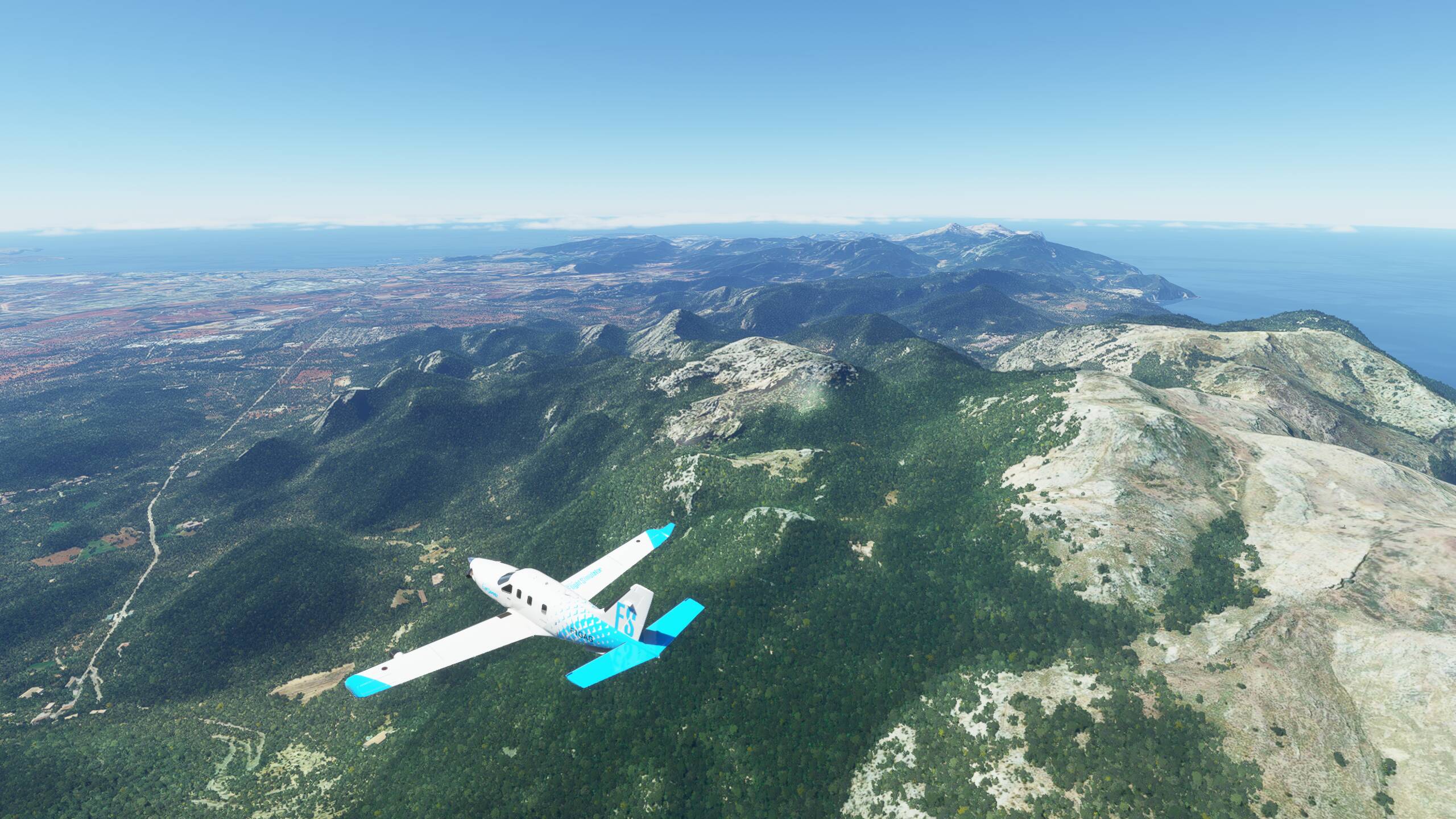
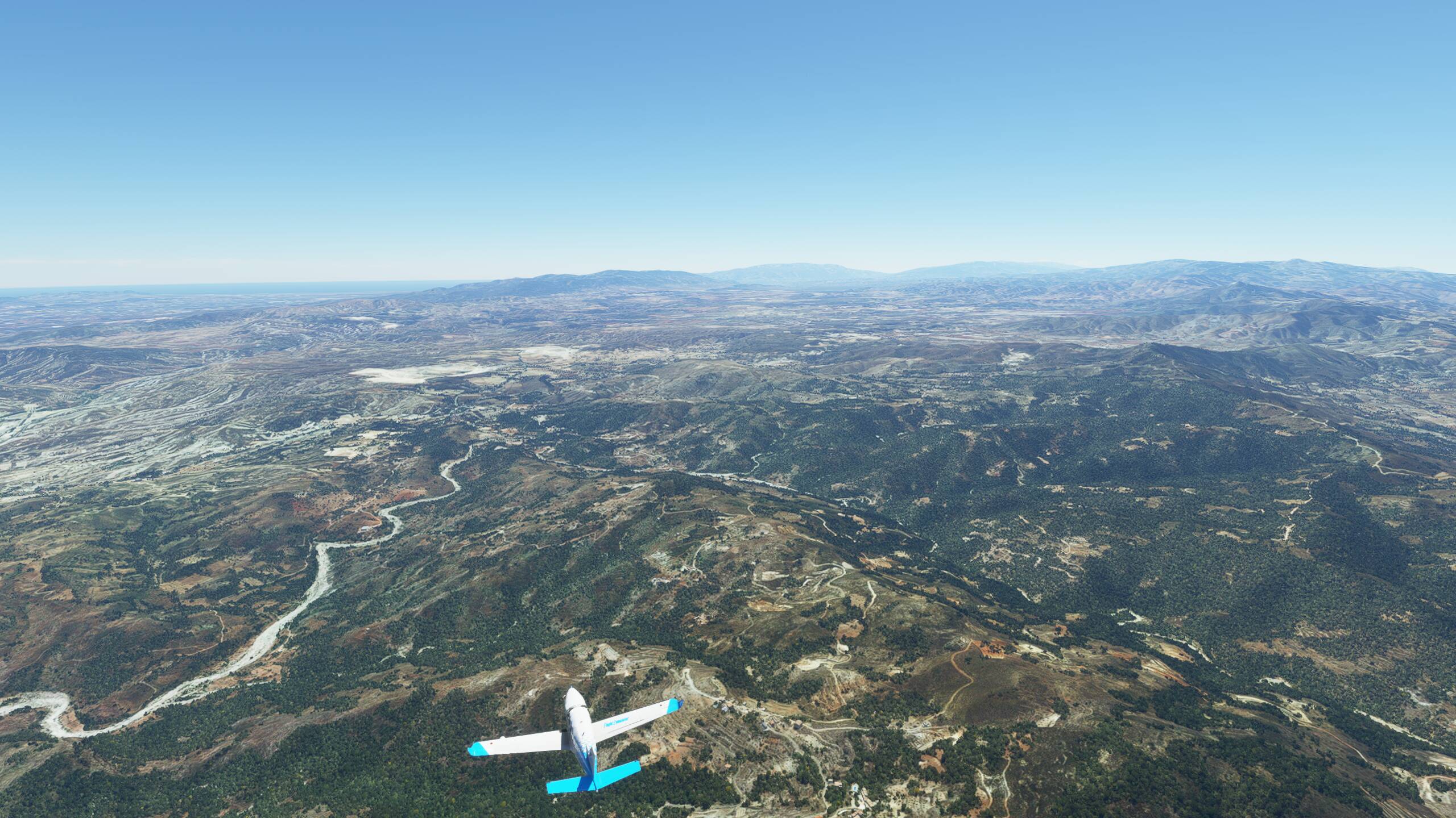
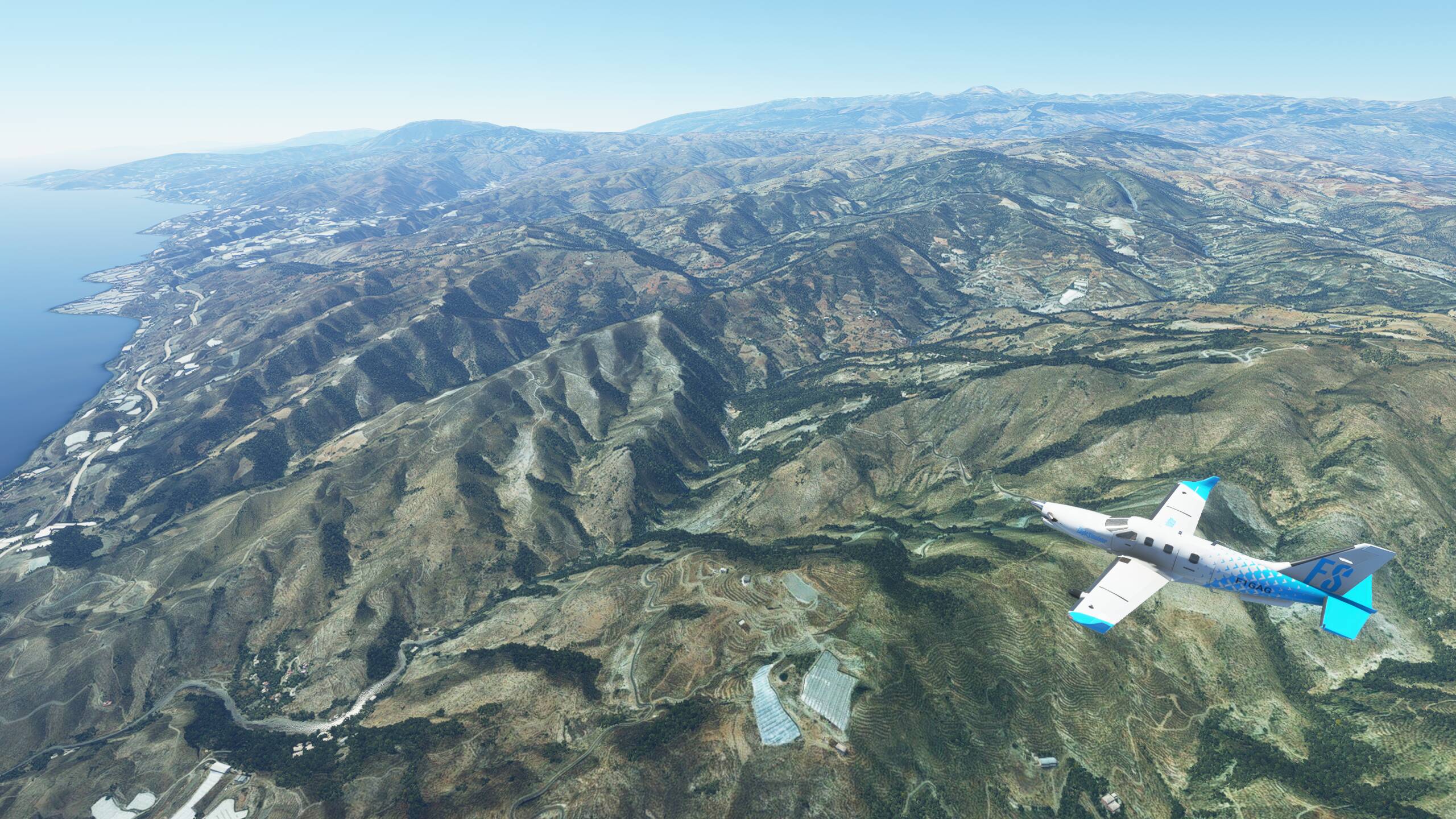
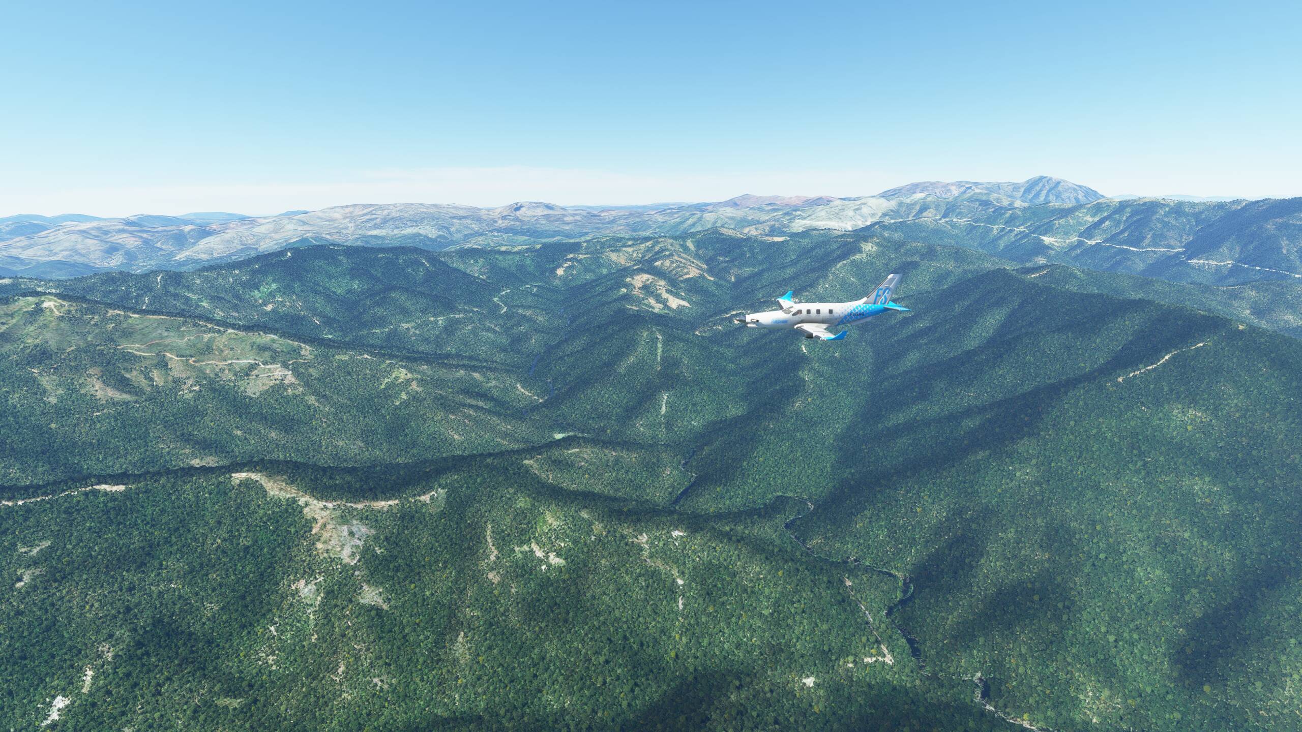
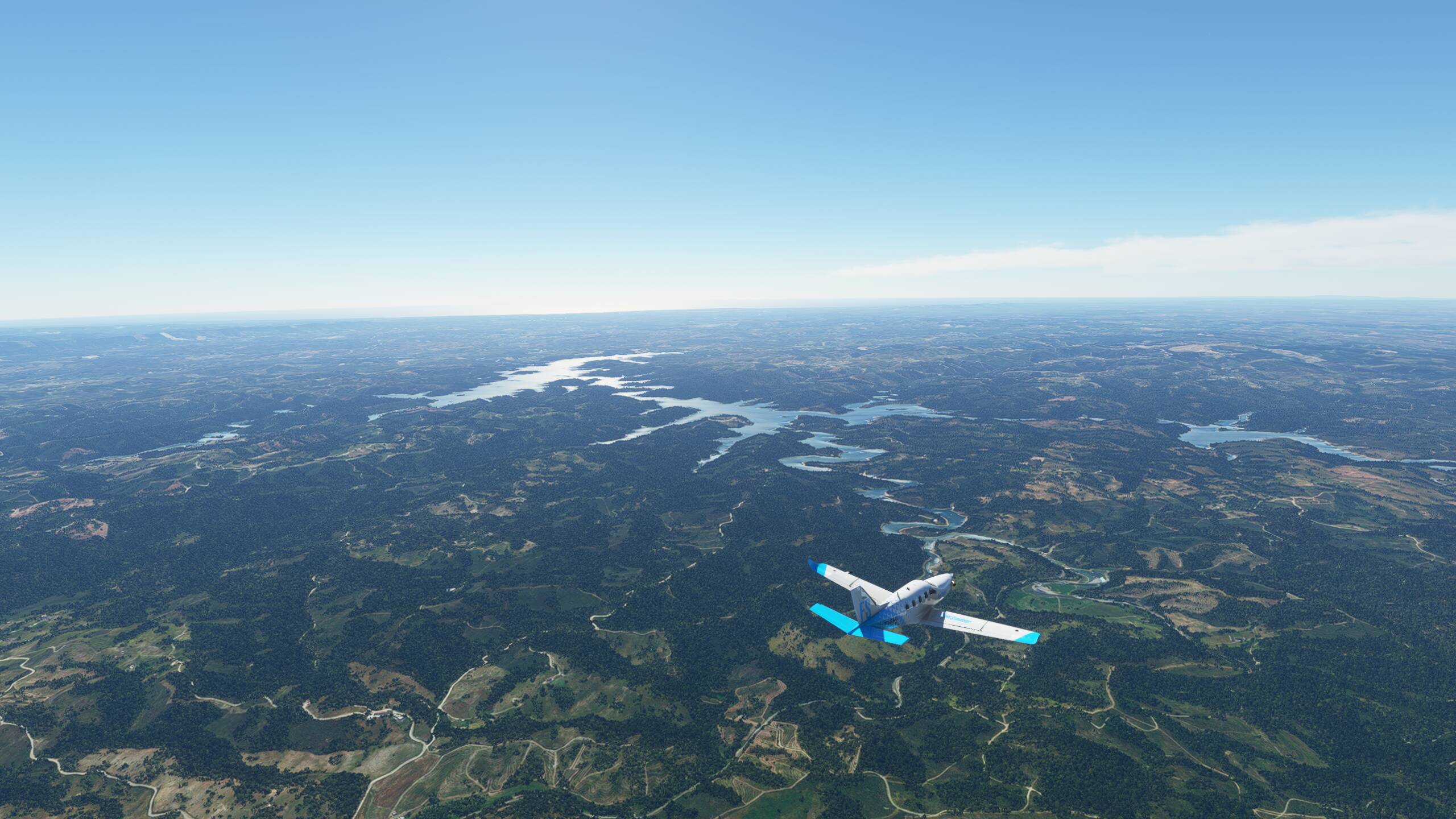
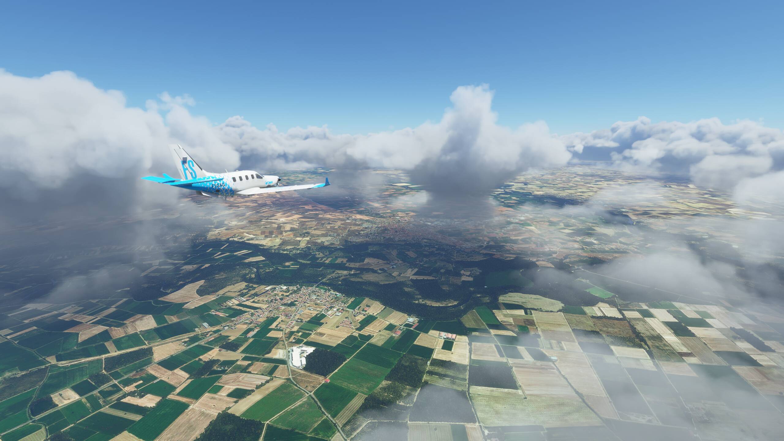
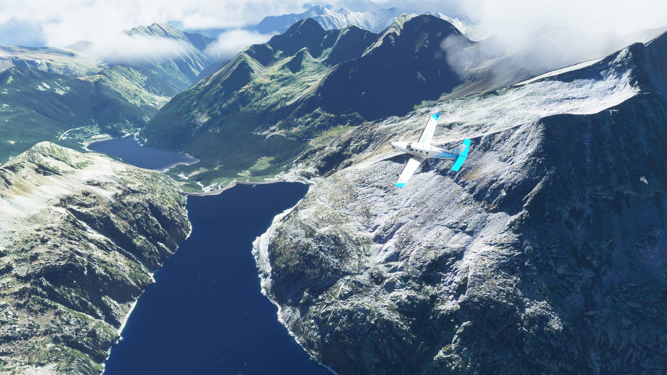
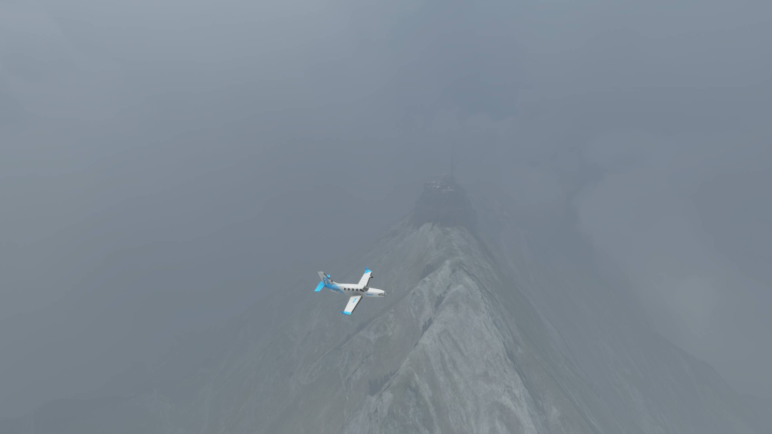
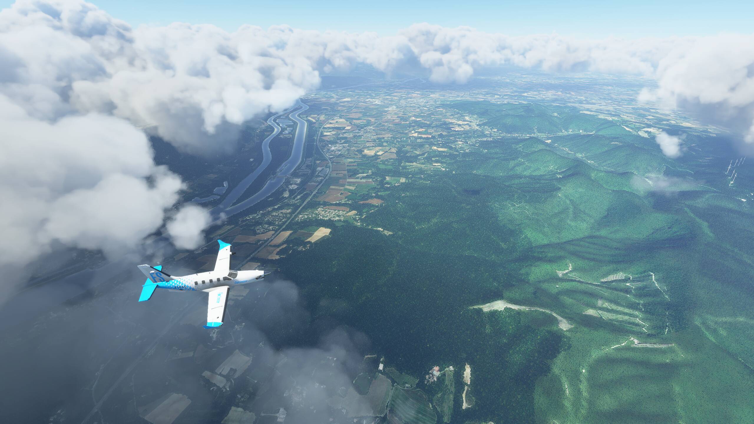
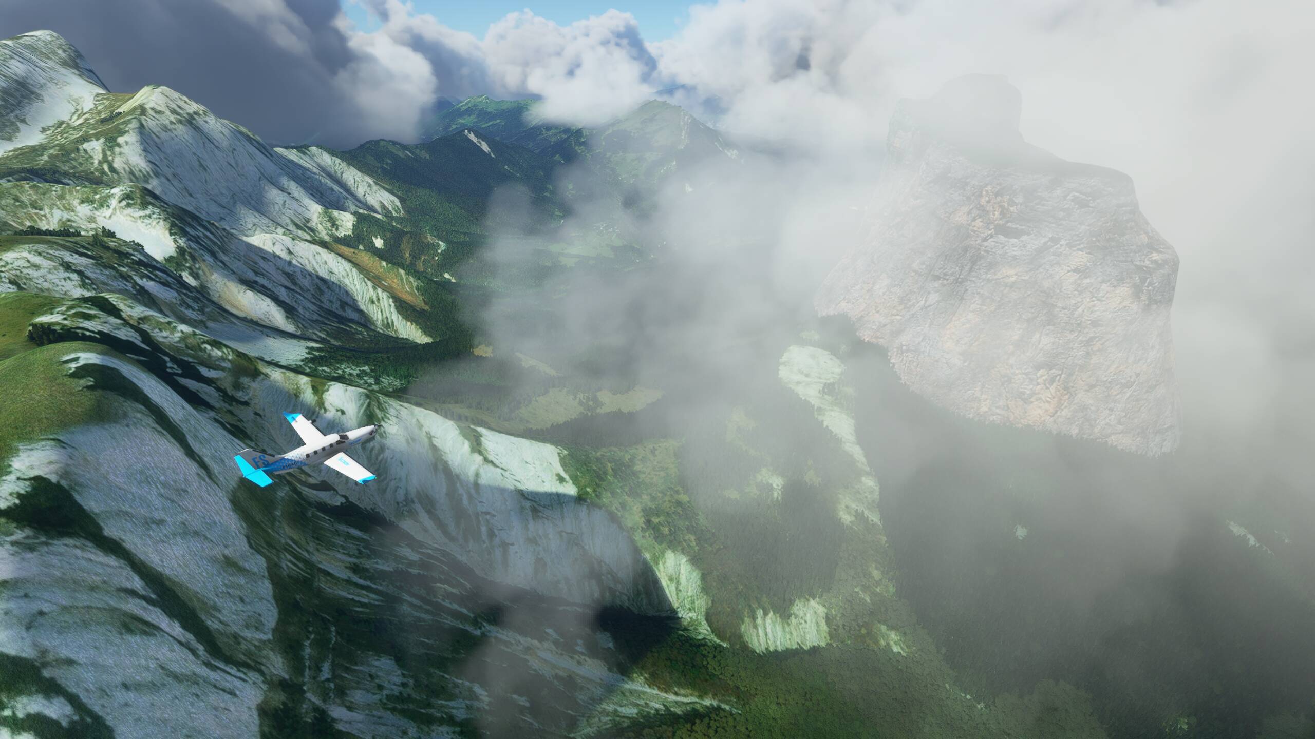
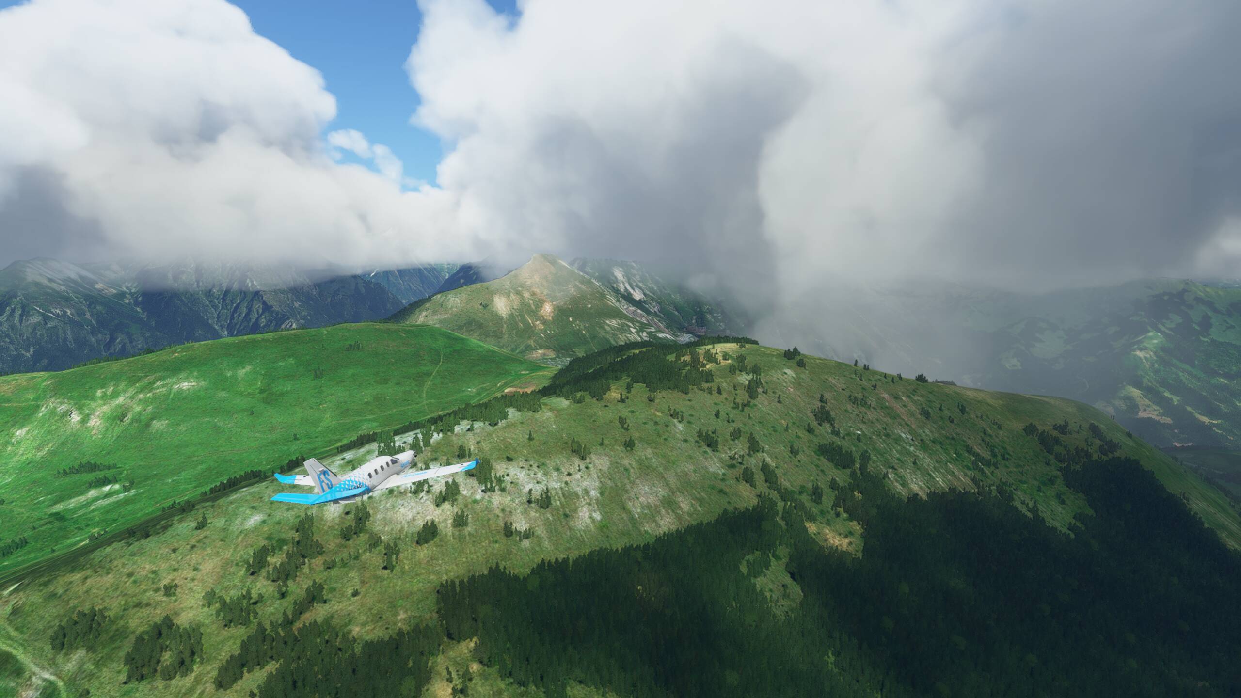
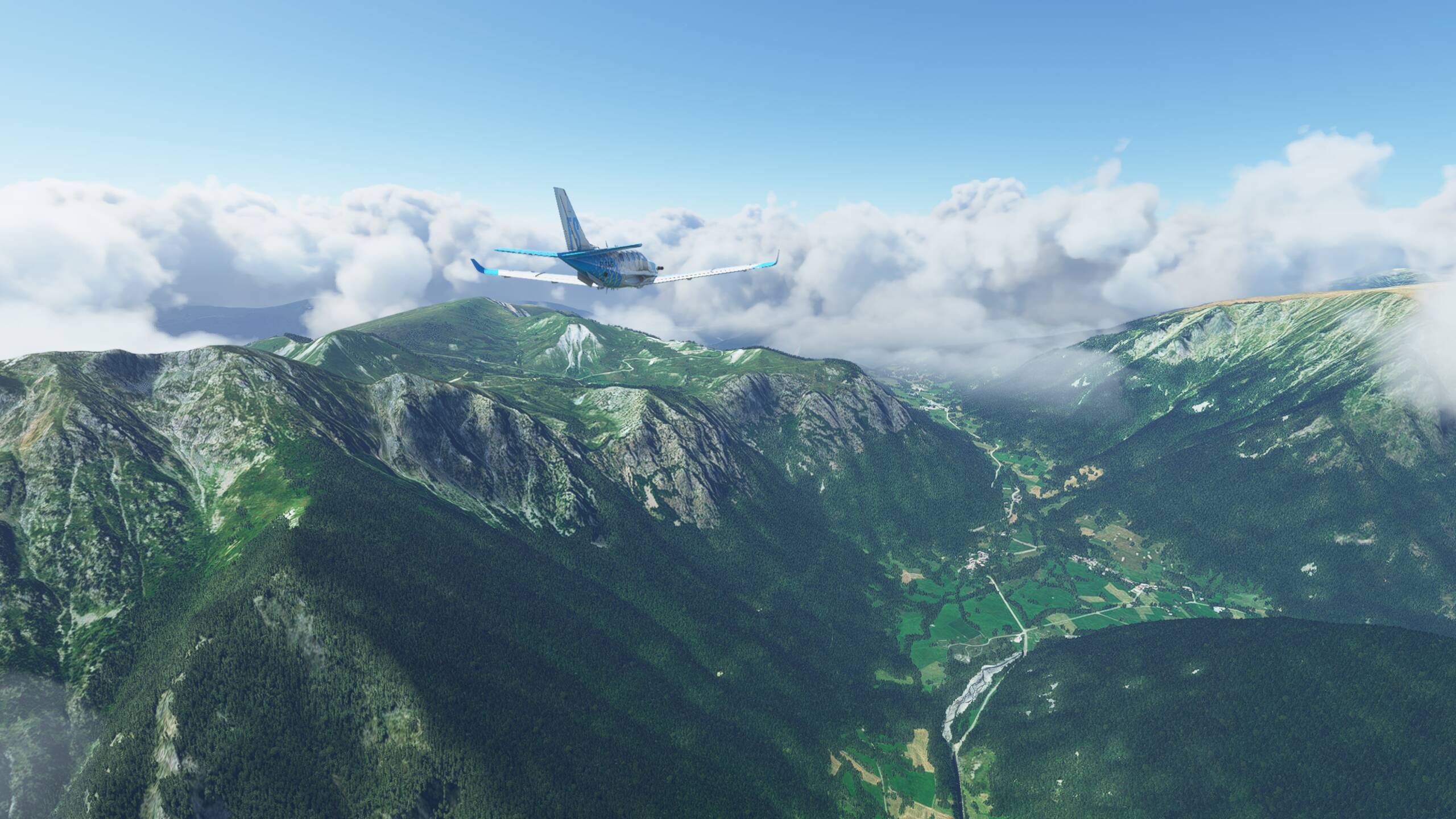
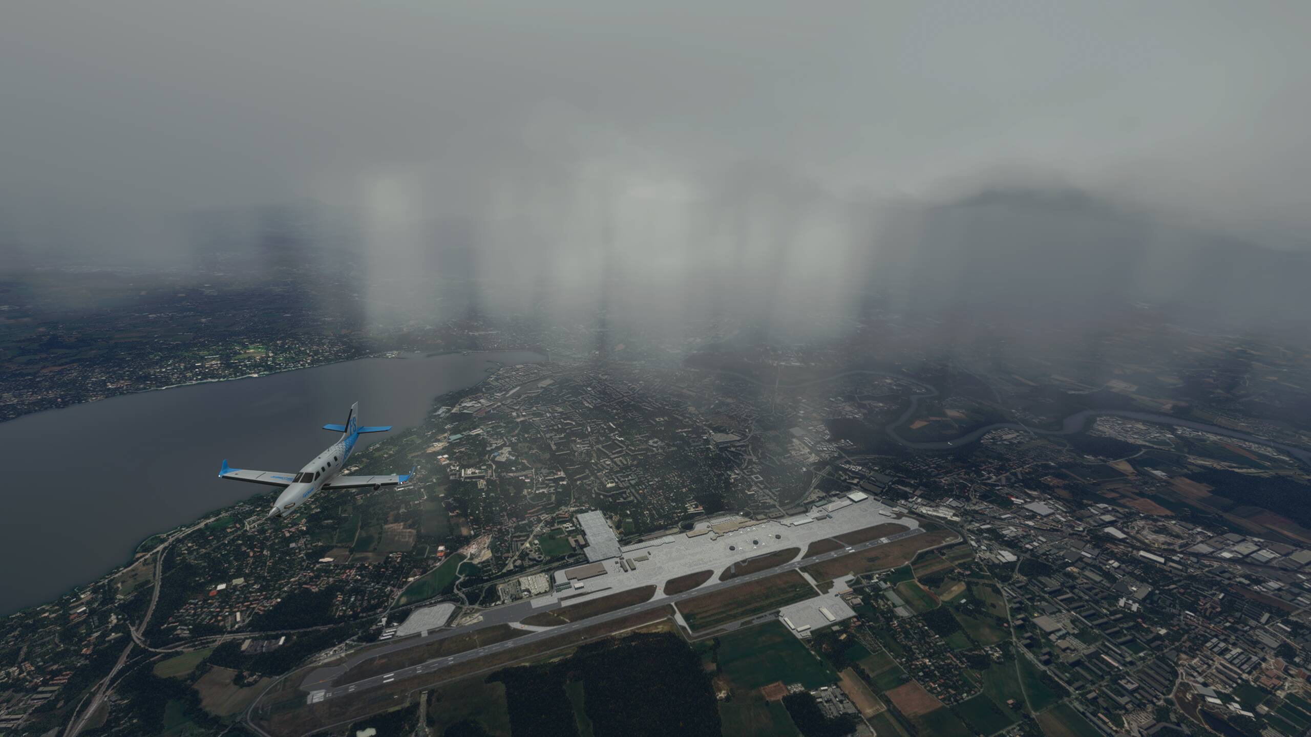
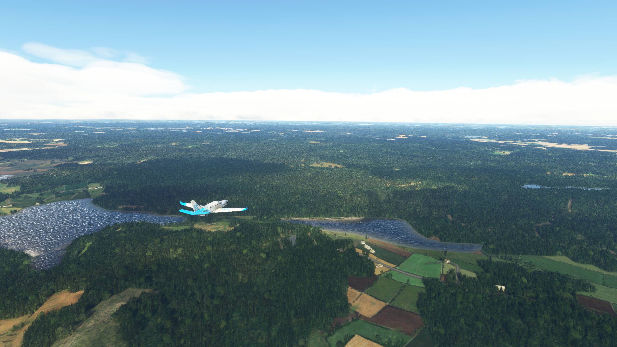
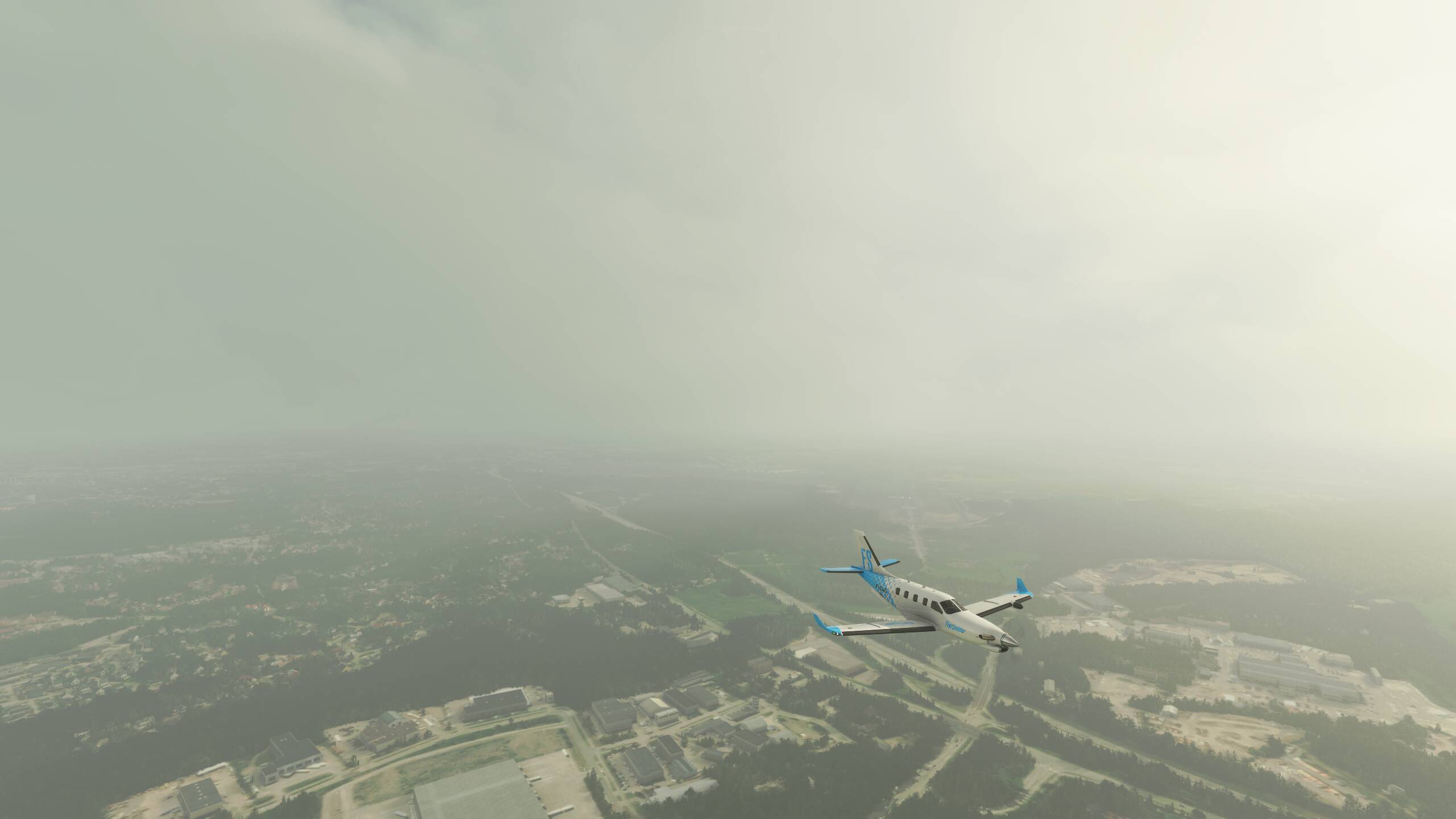
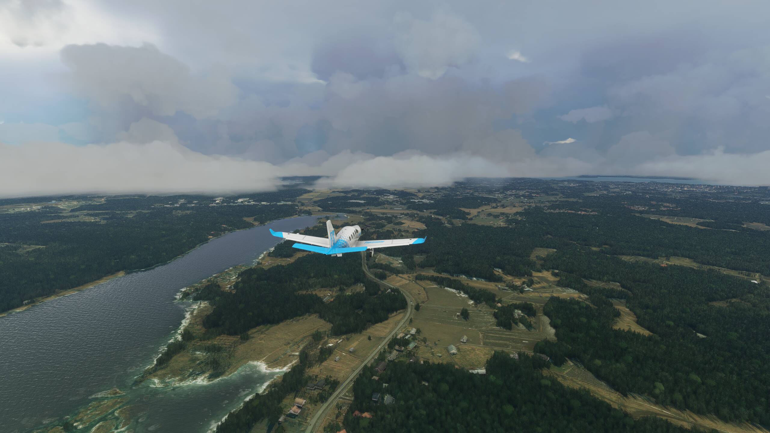
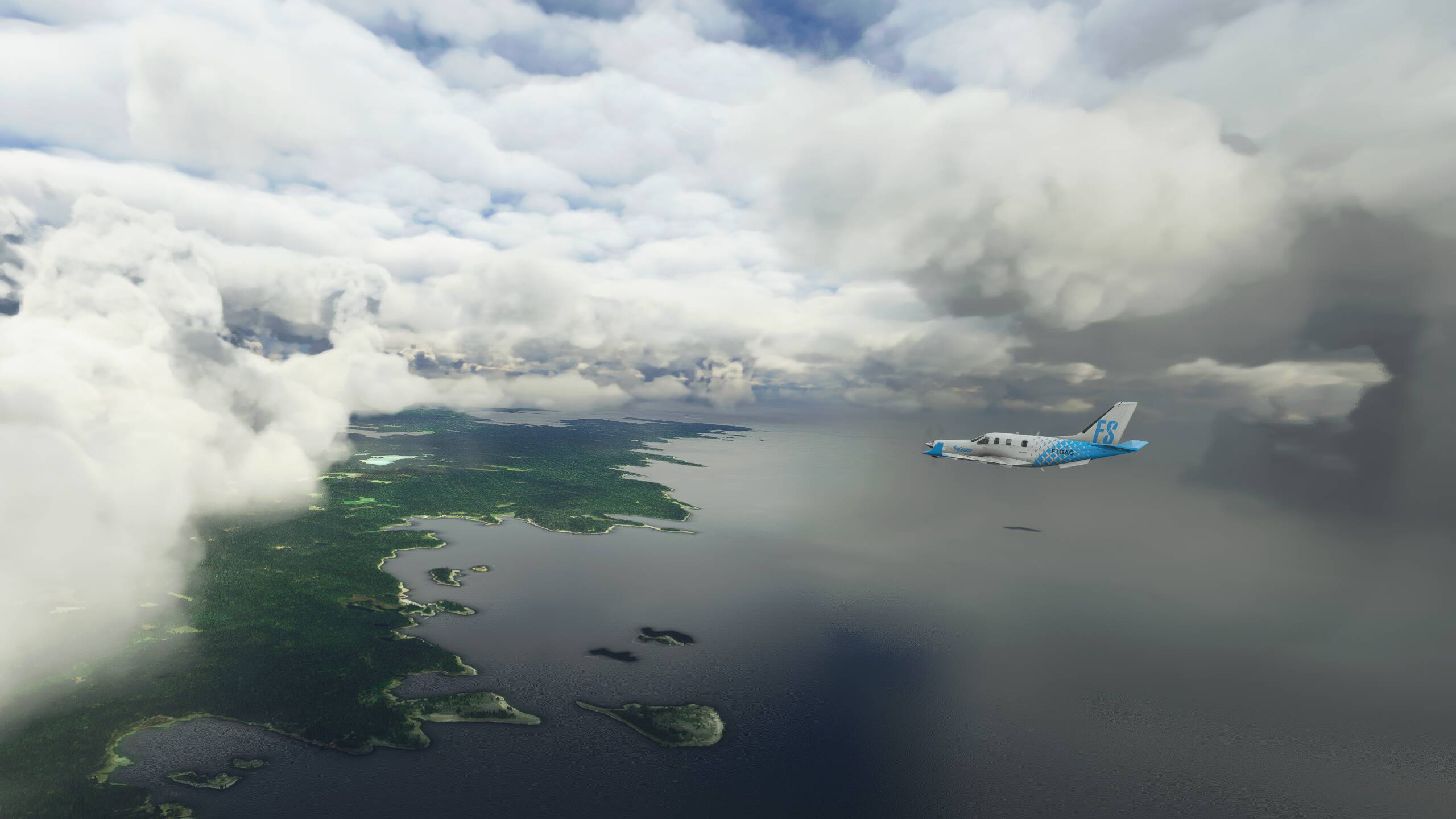
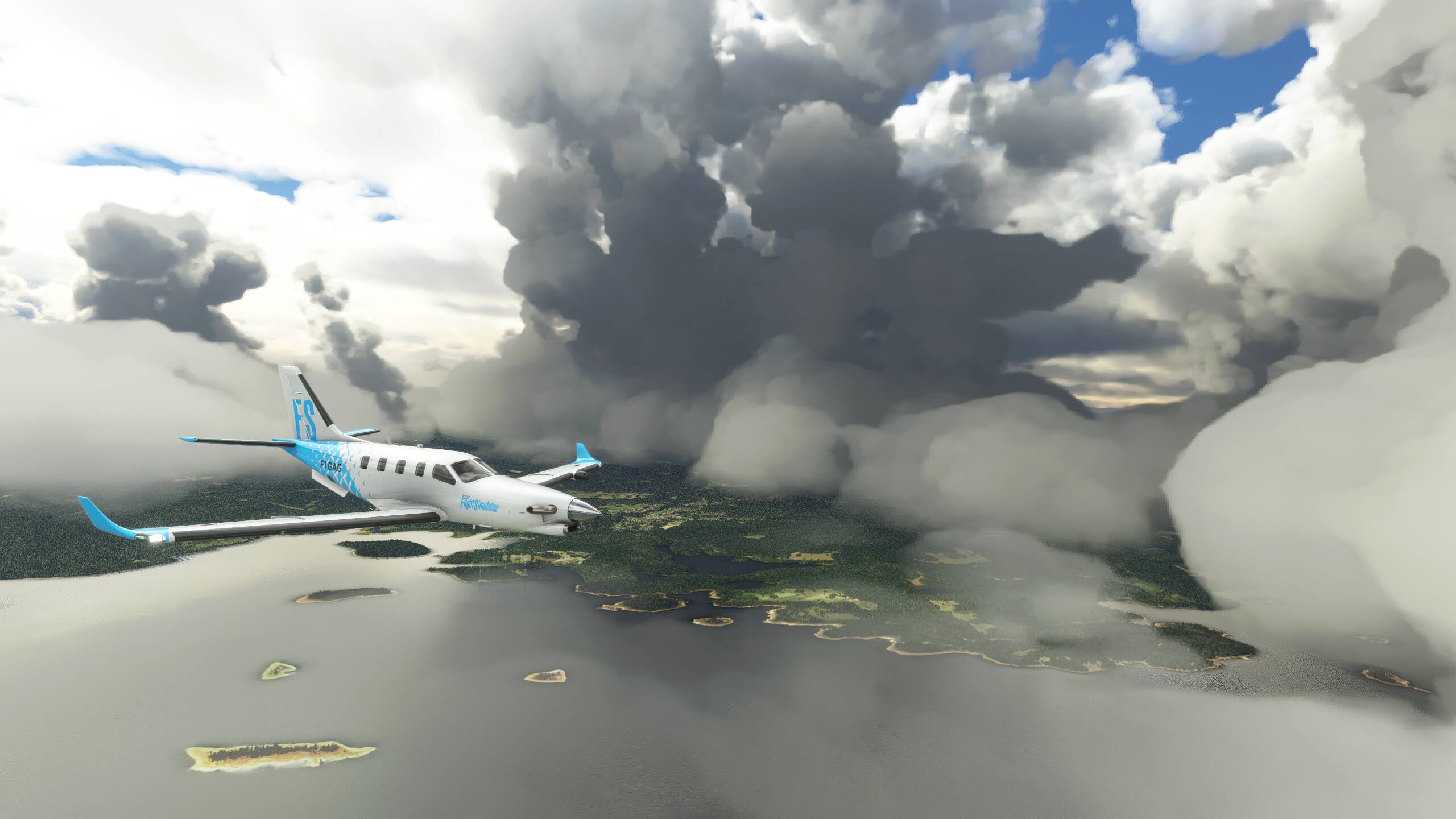
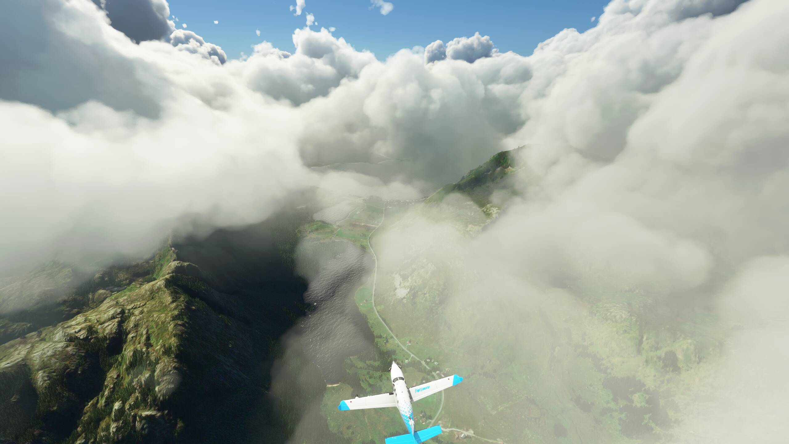
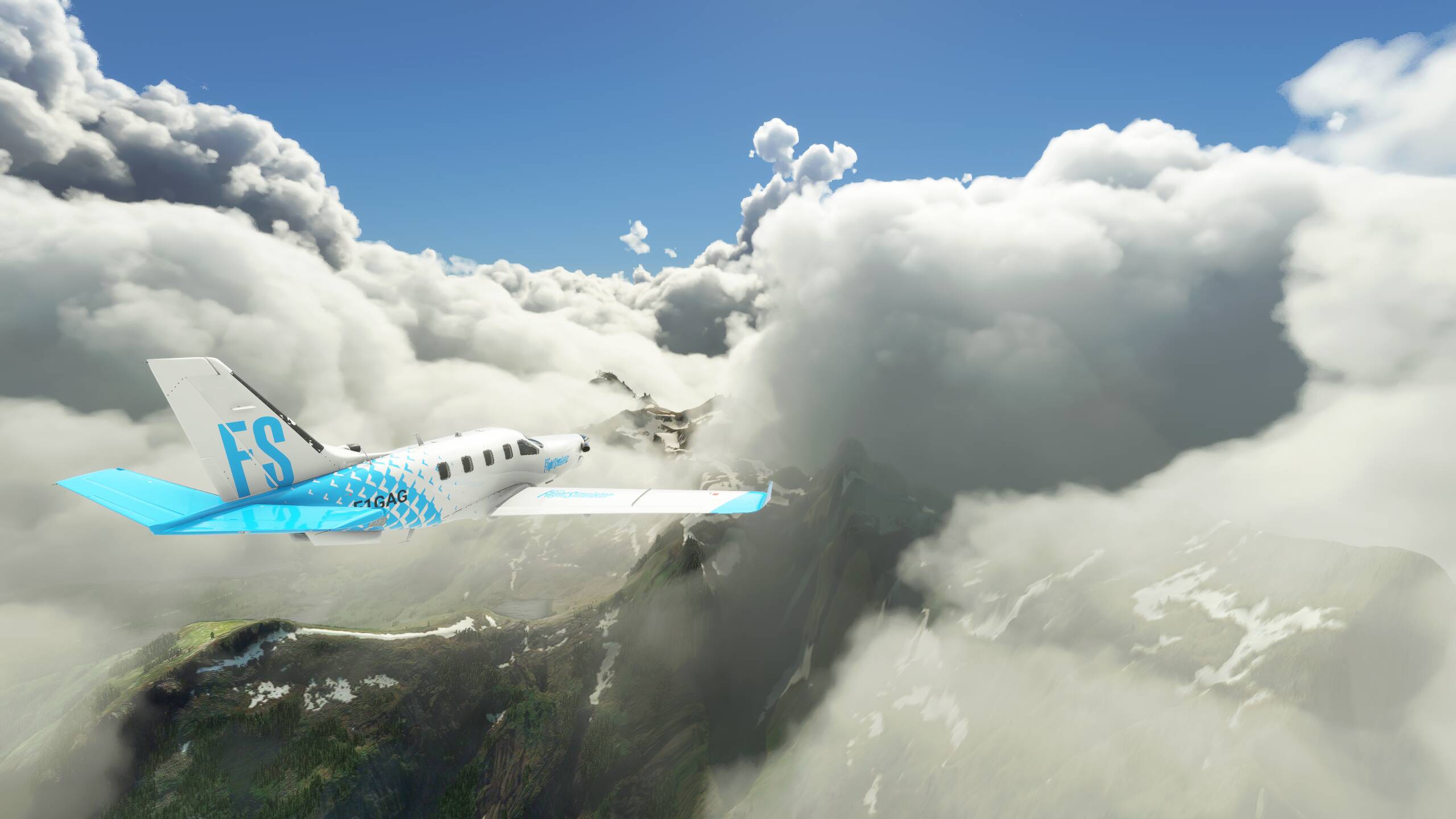
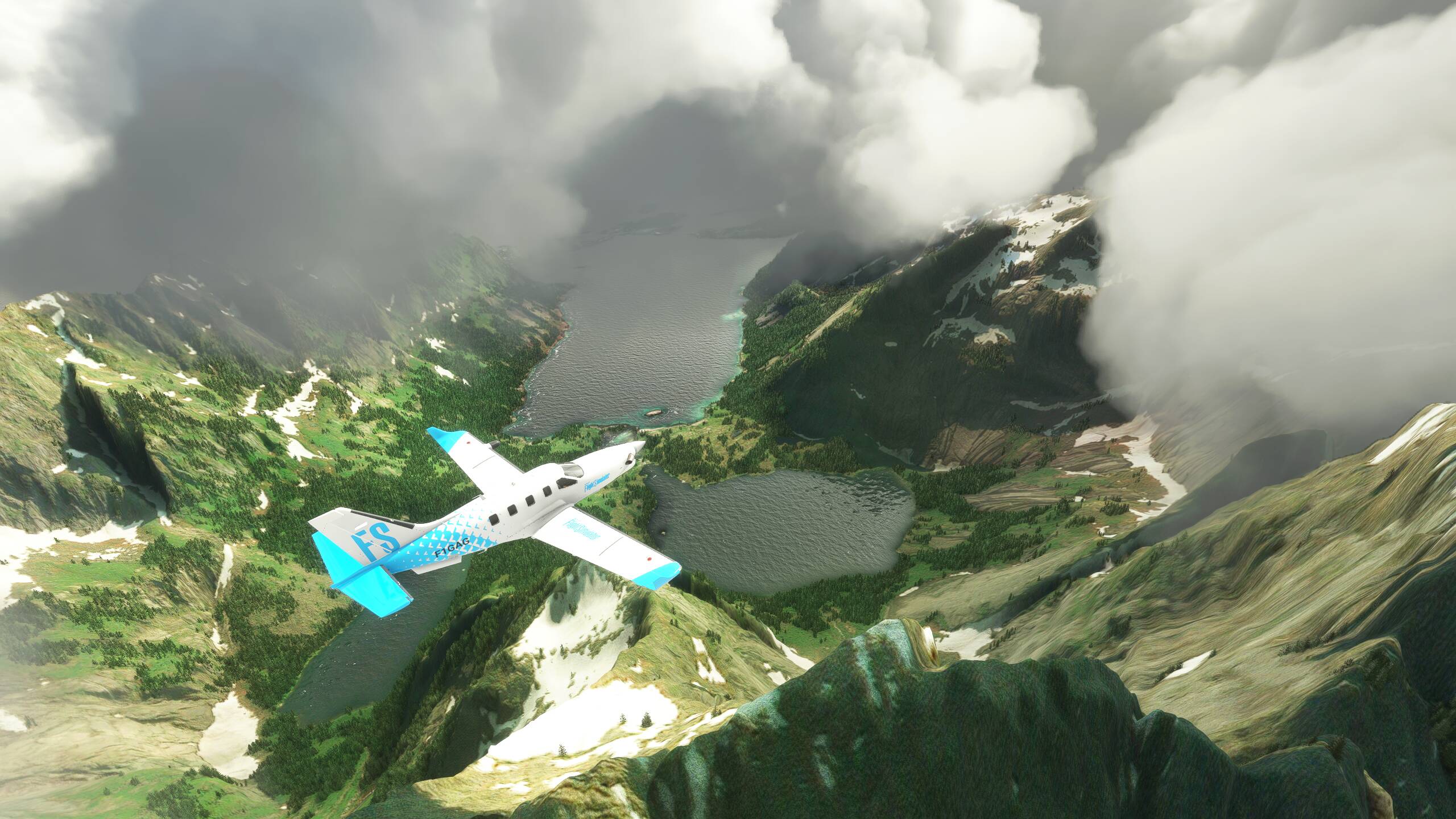
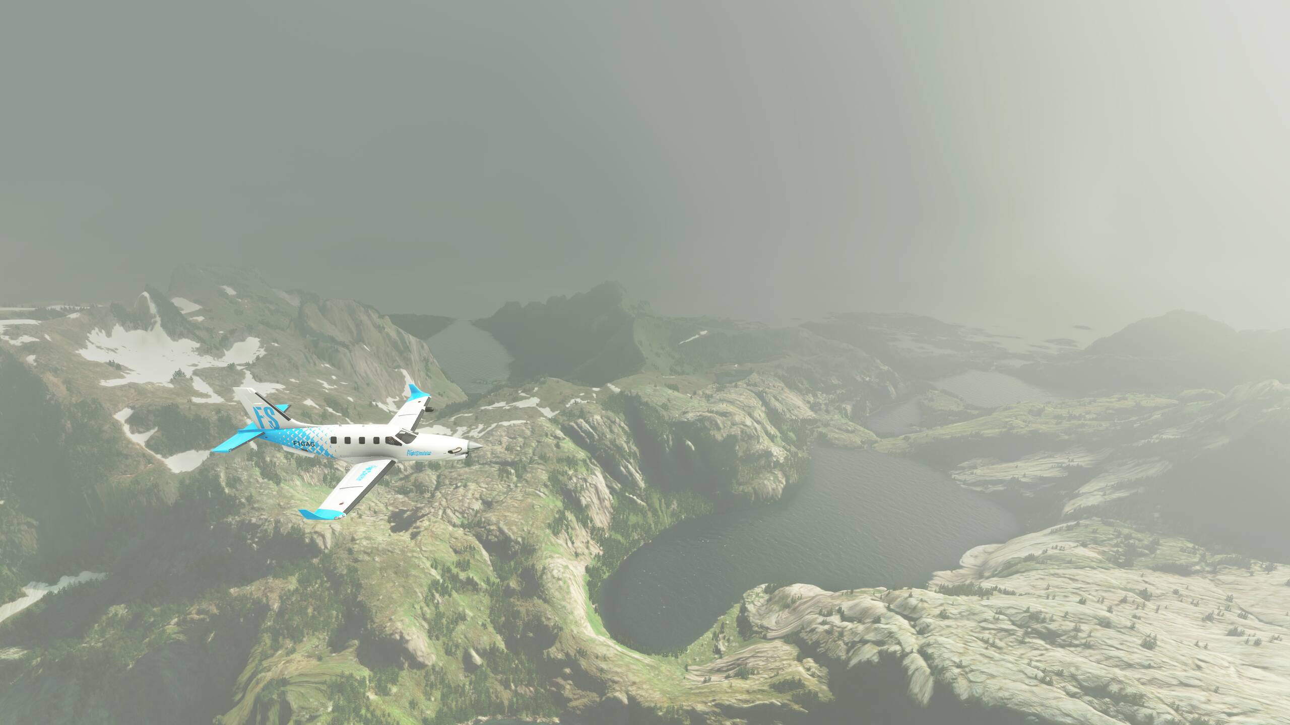
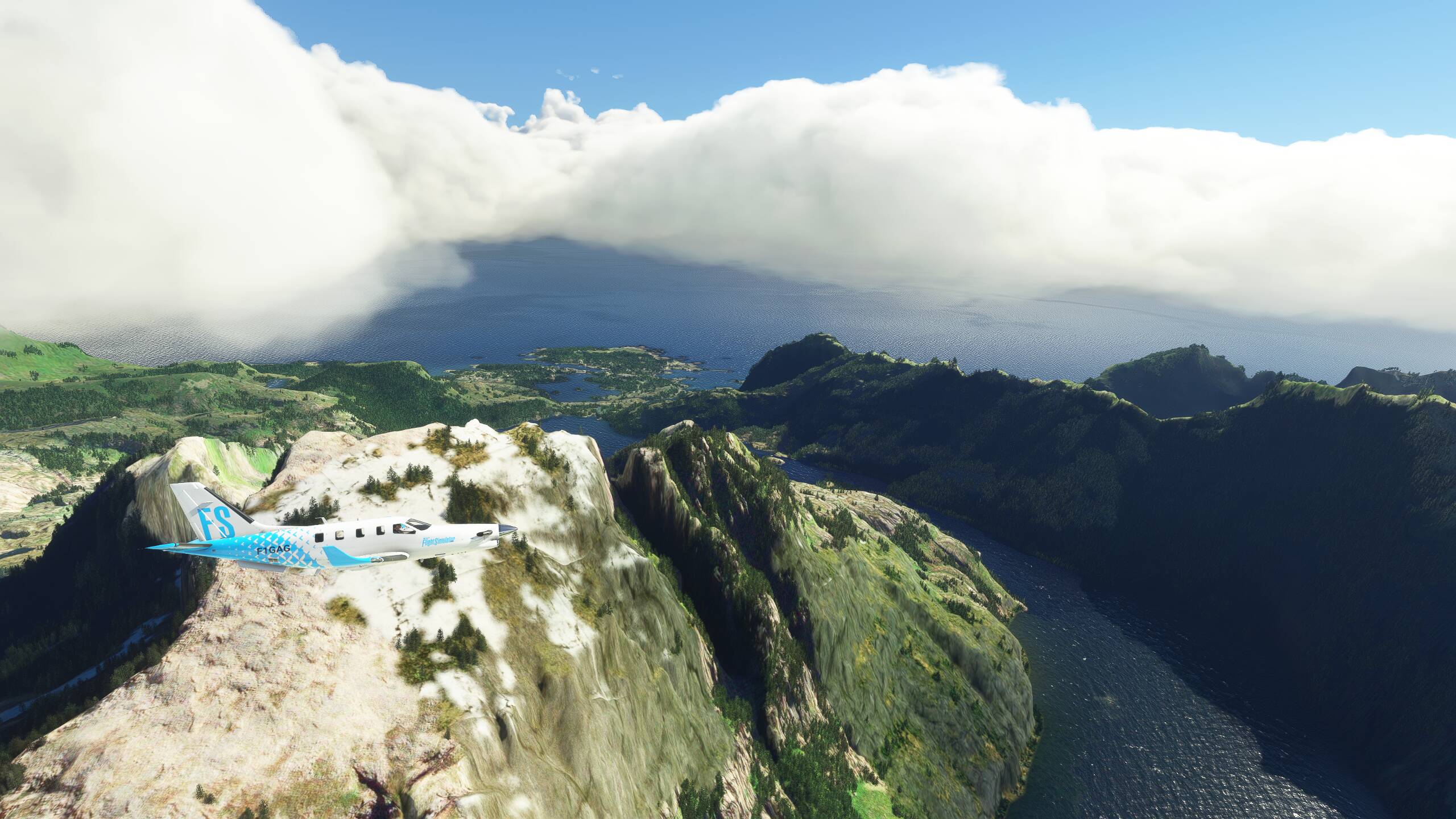
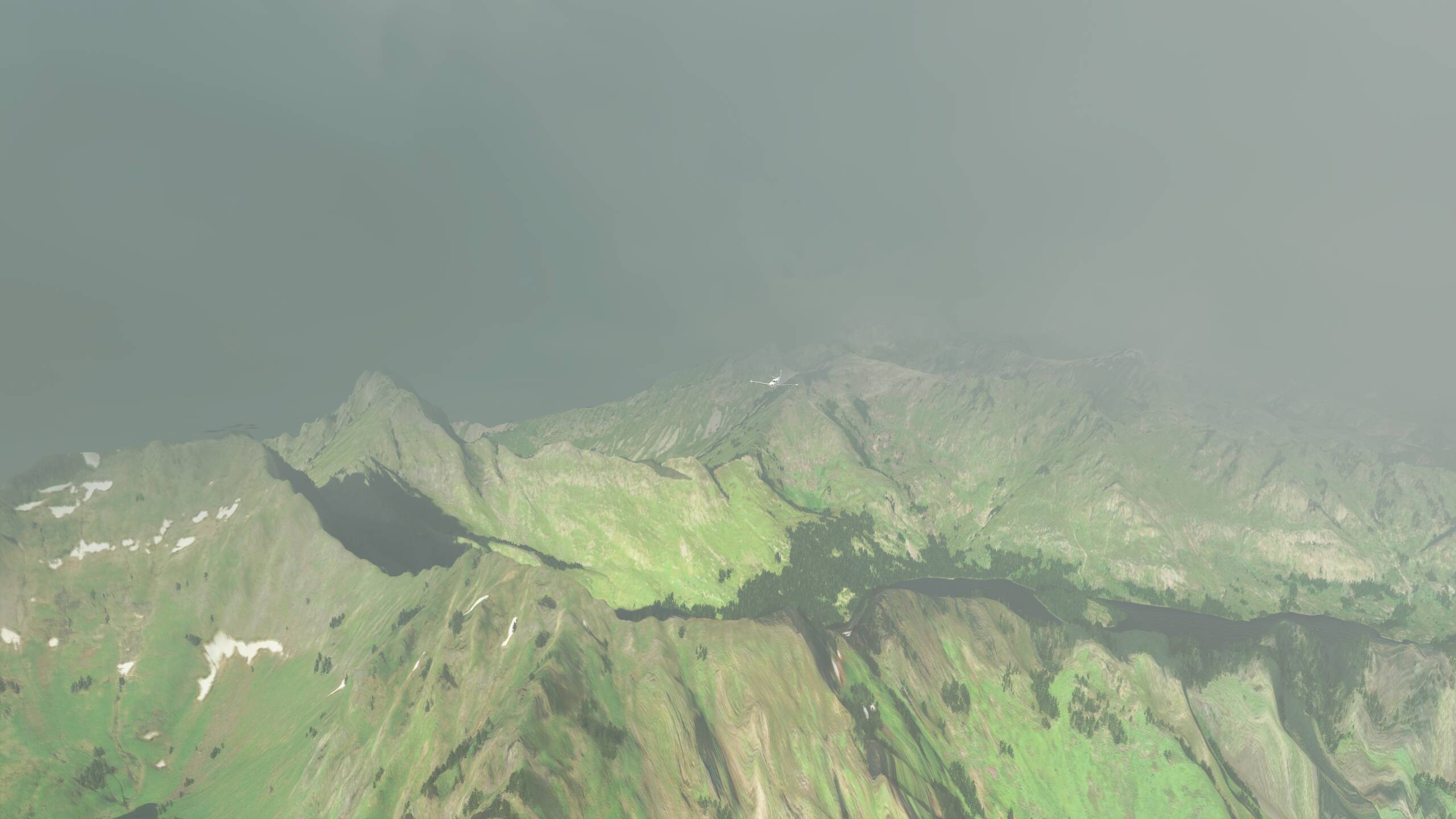
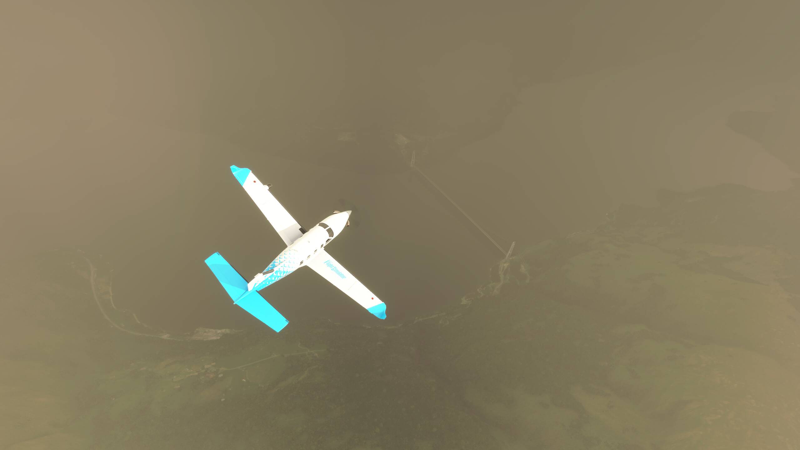
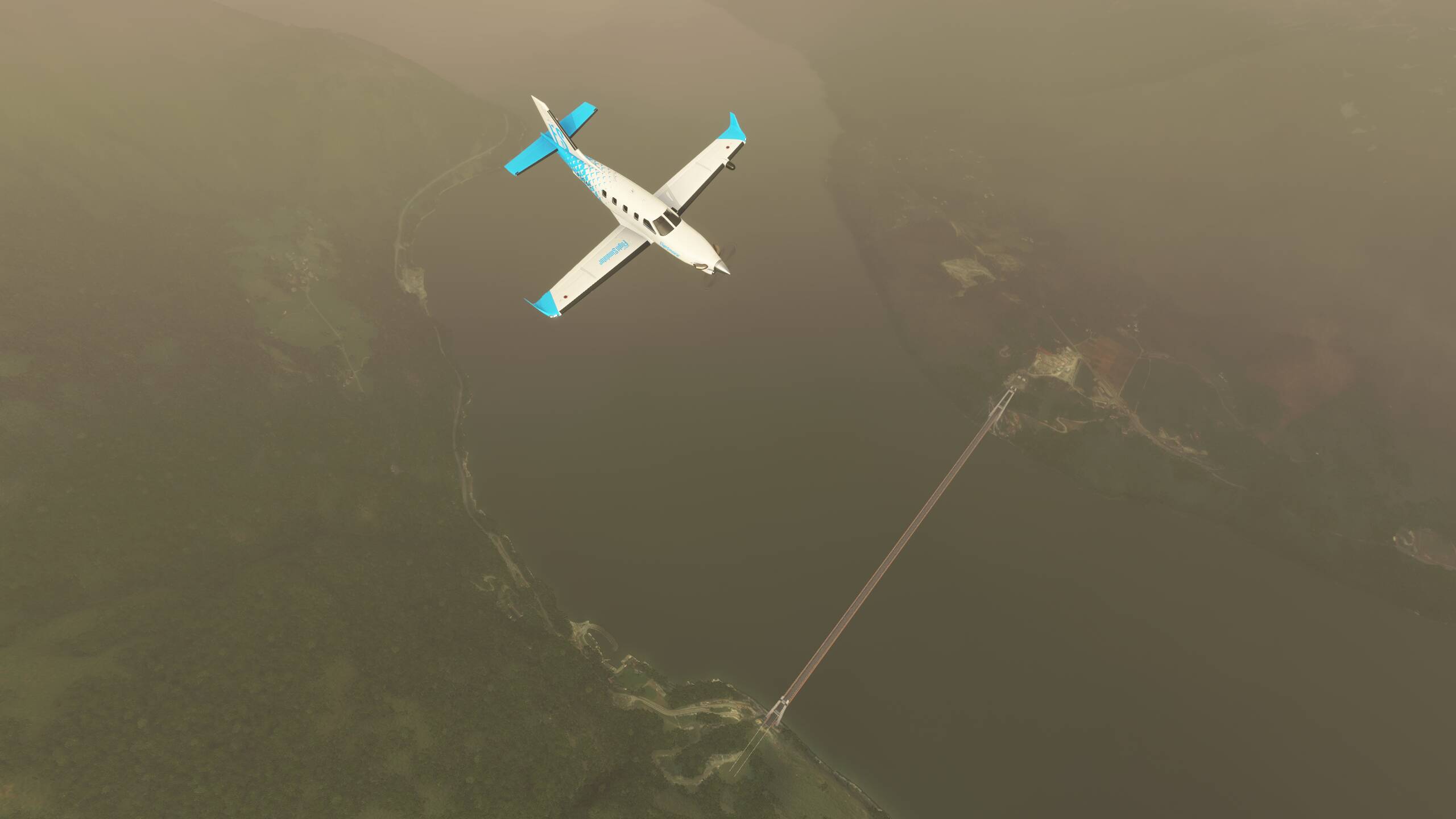
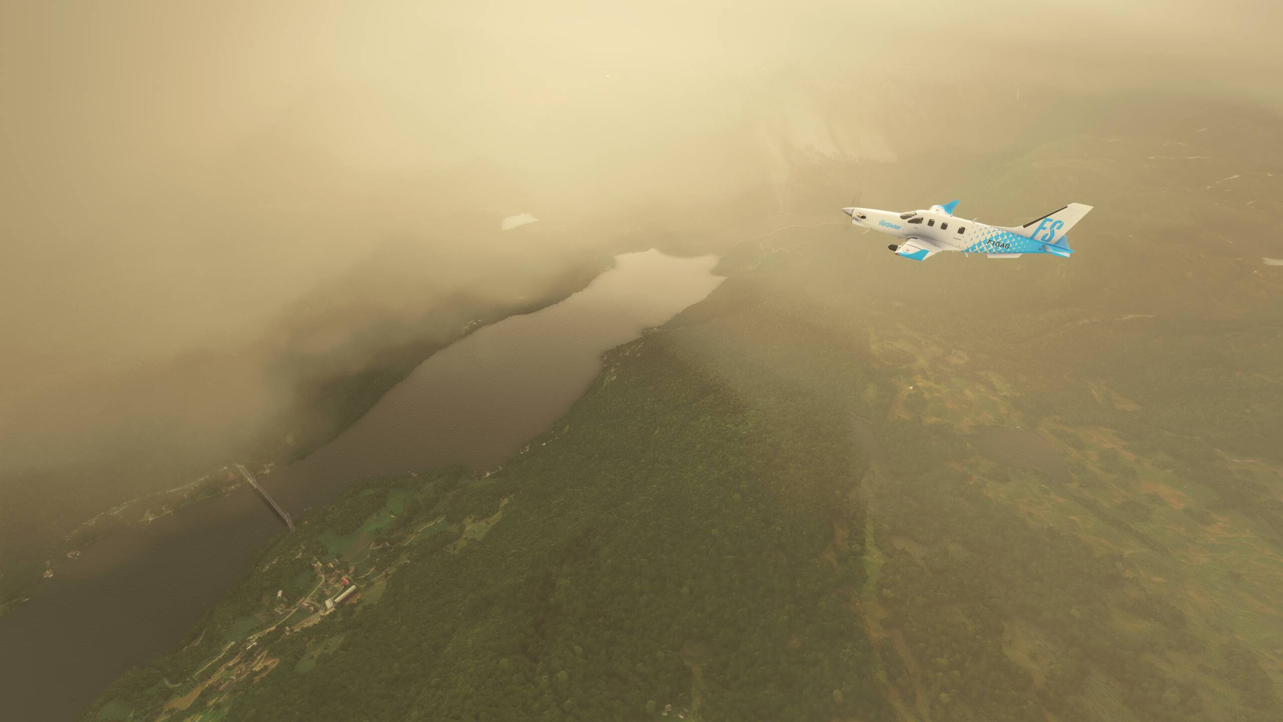
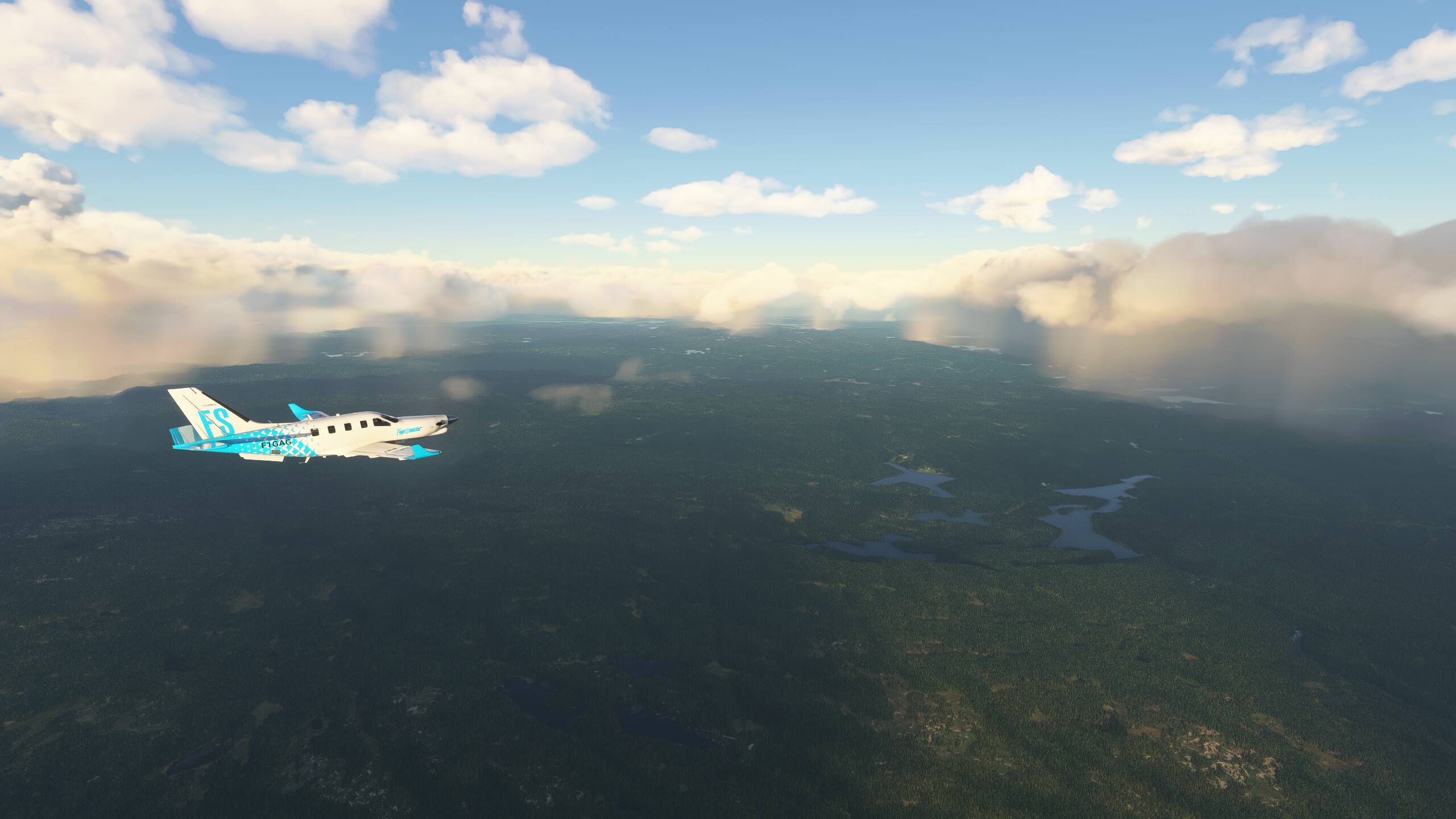
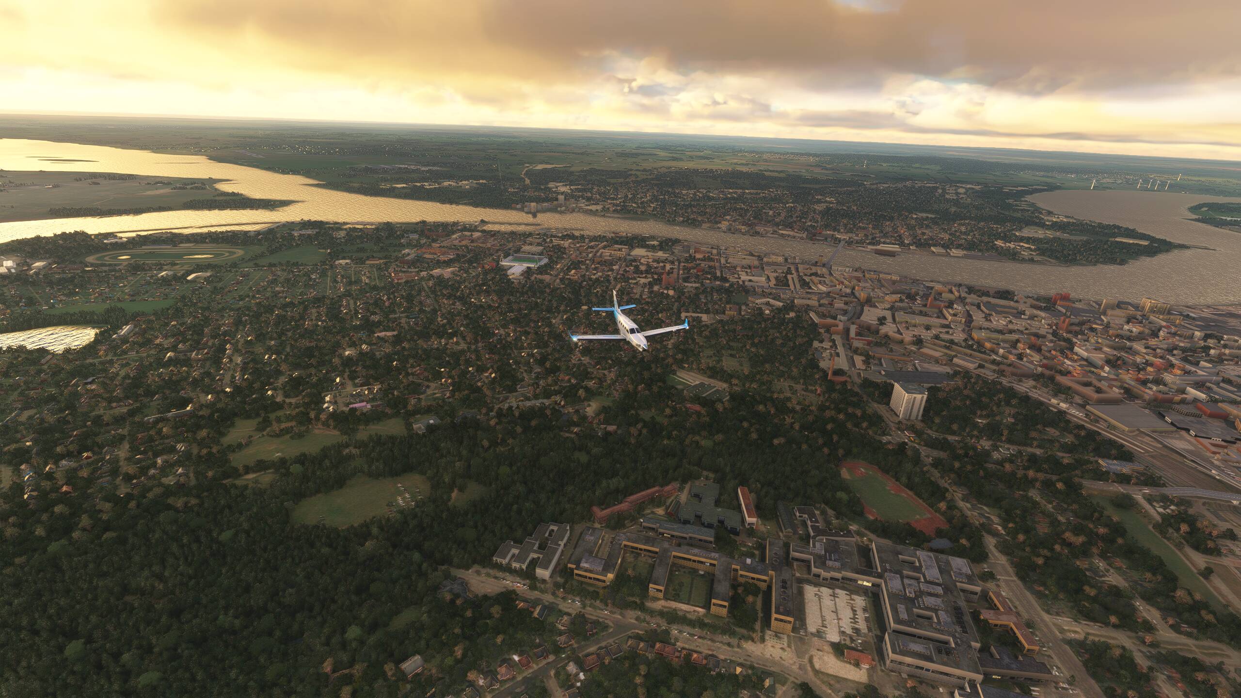
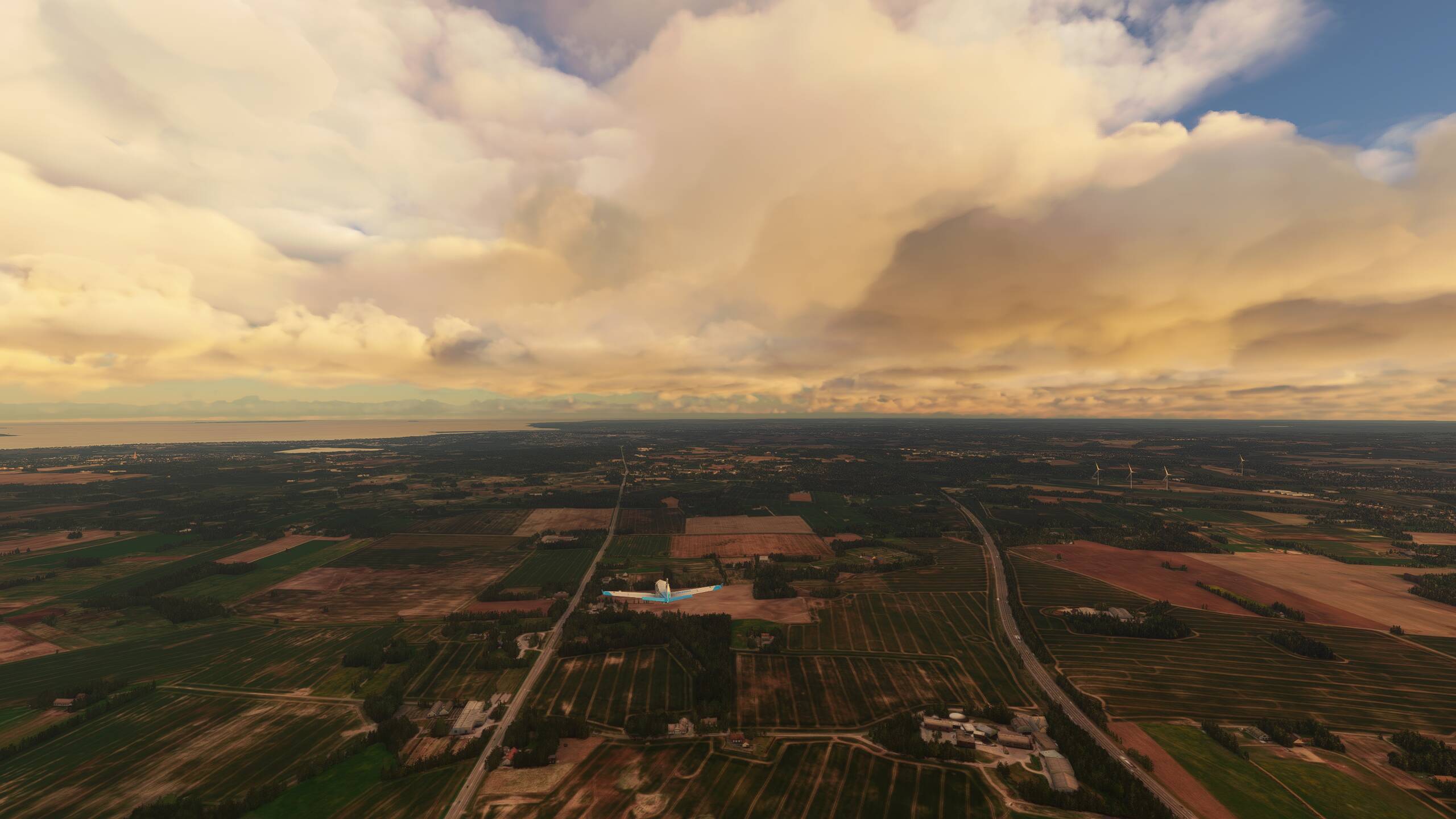
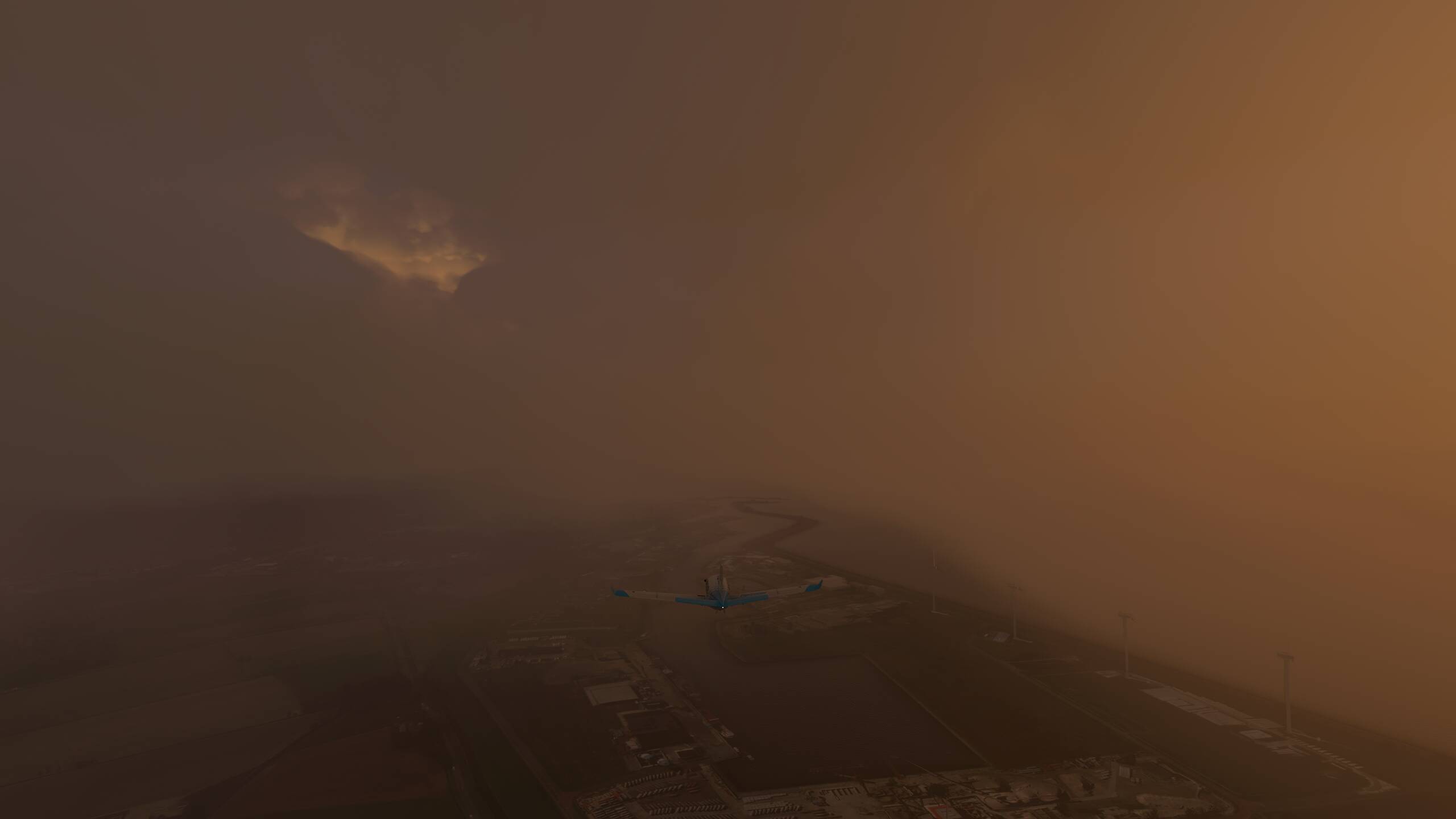
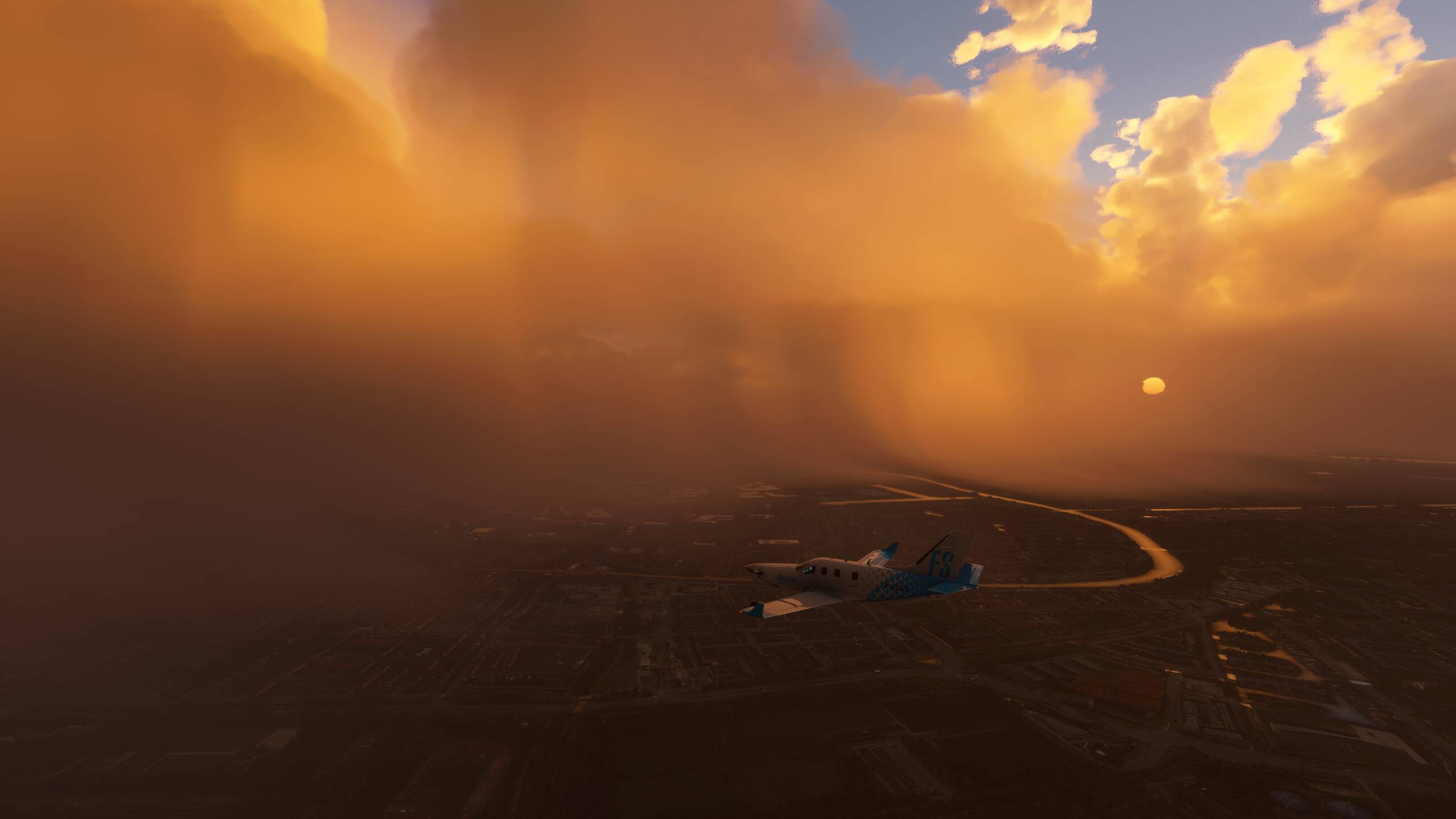
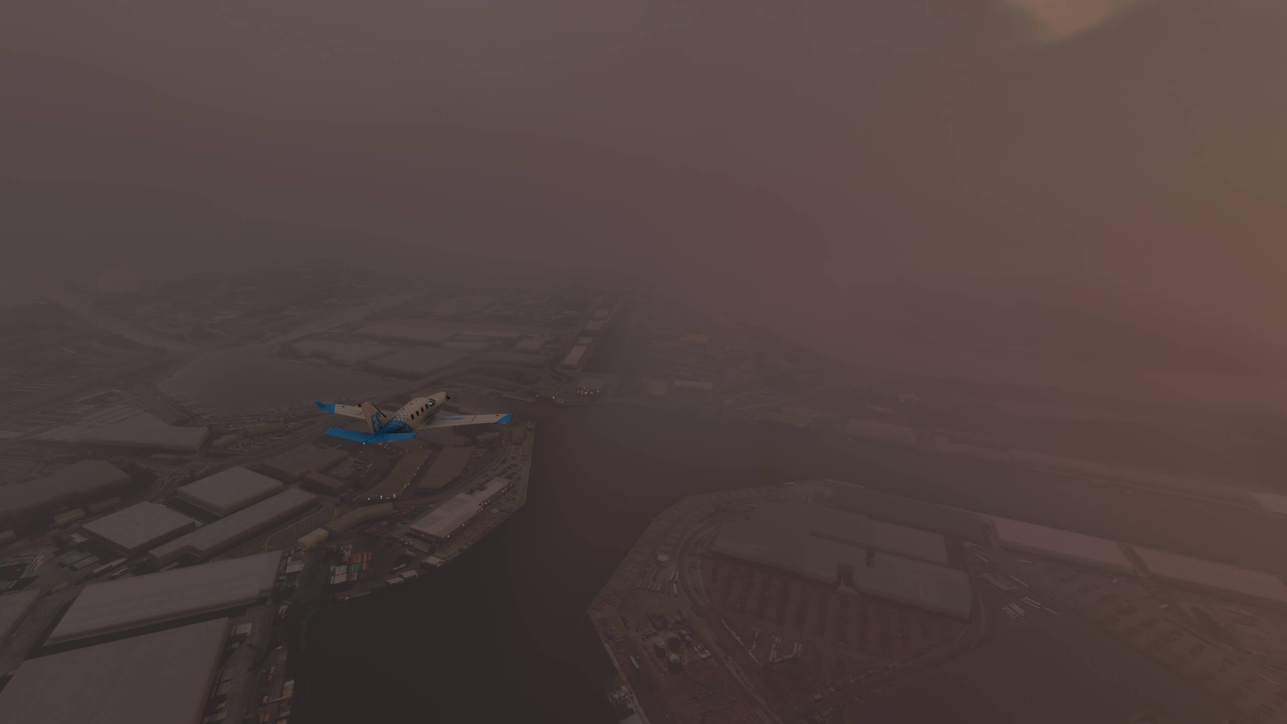
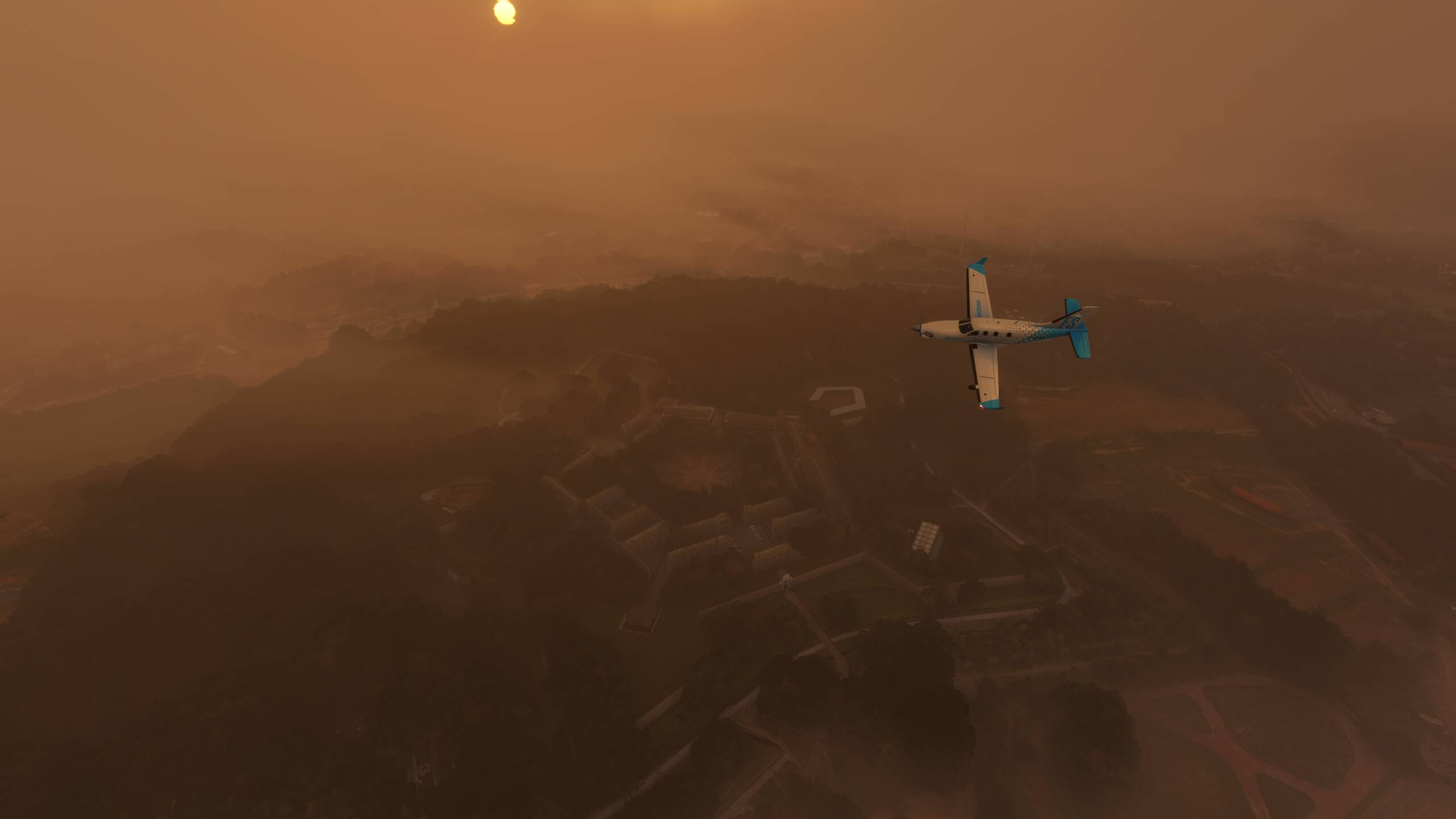
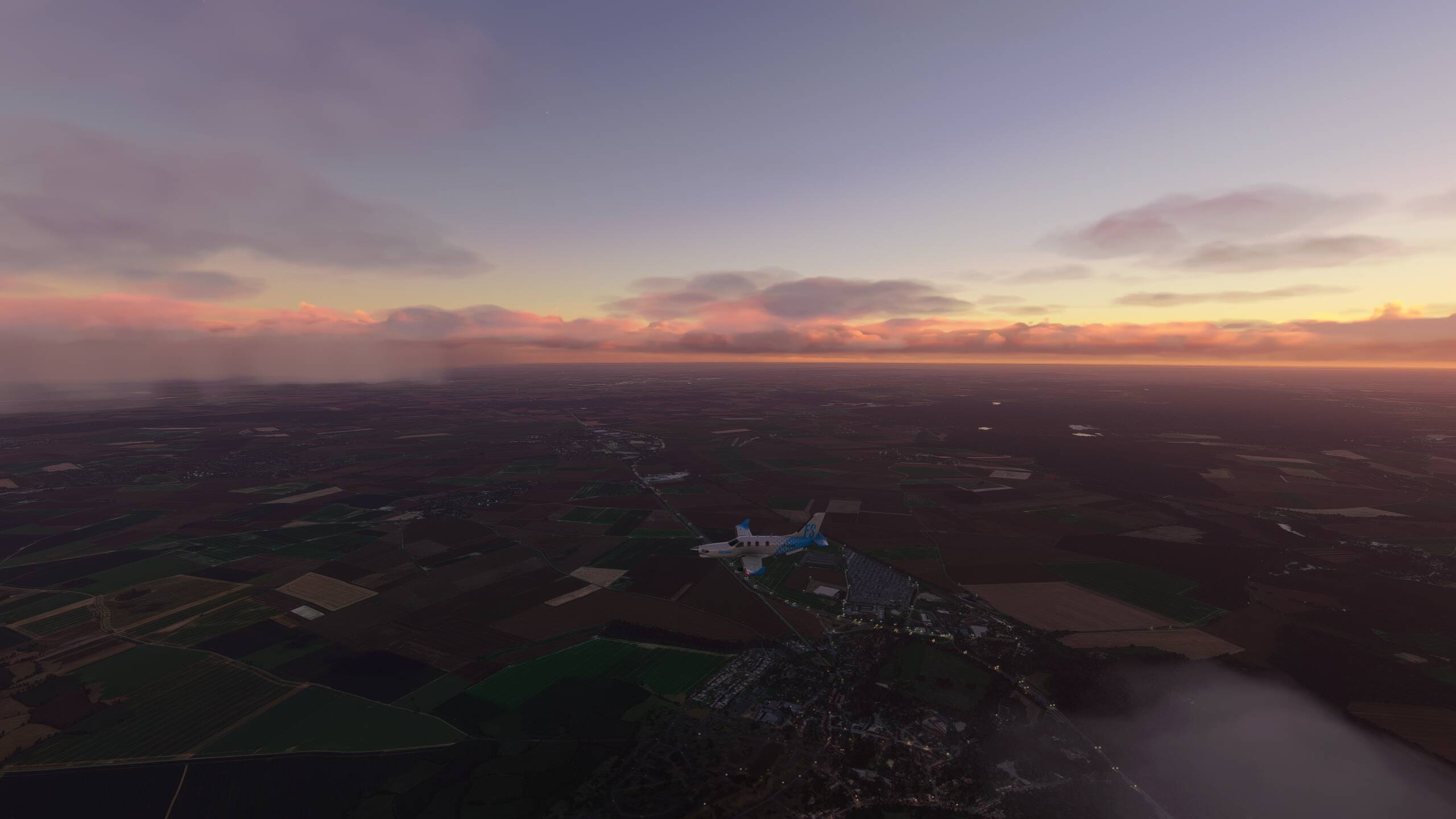
Continuing North East to Chateau du Haut-Koenigsbourg…getting cloudier again!
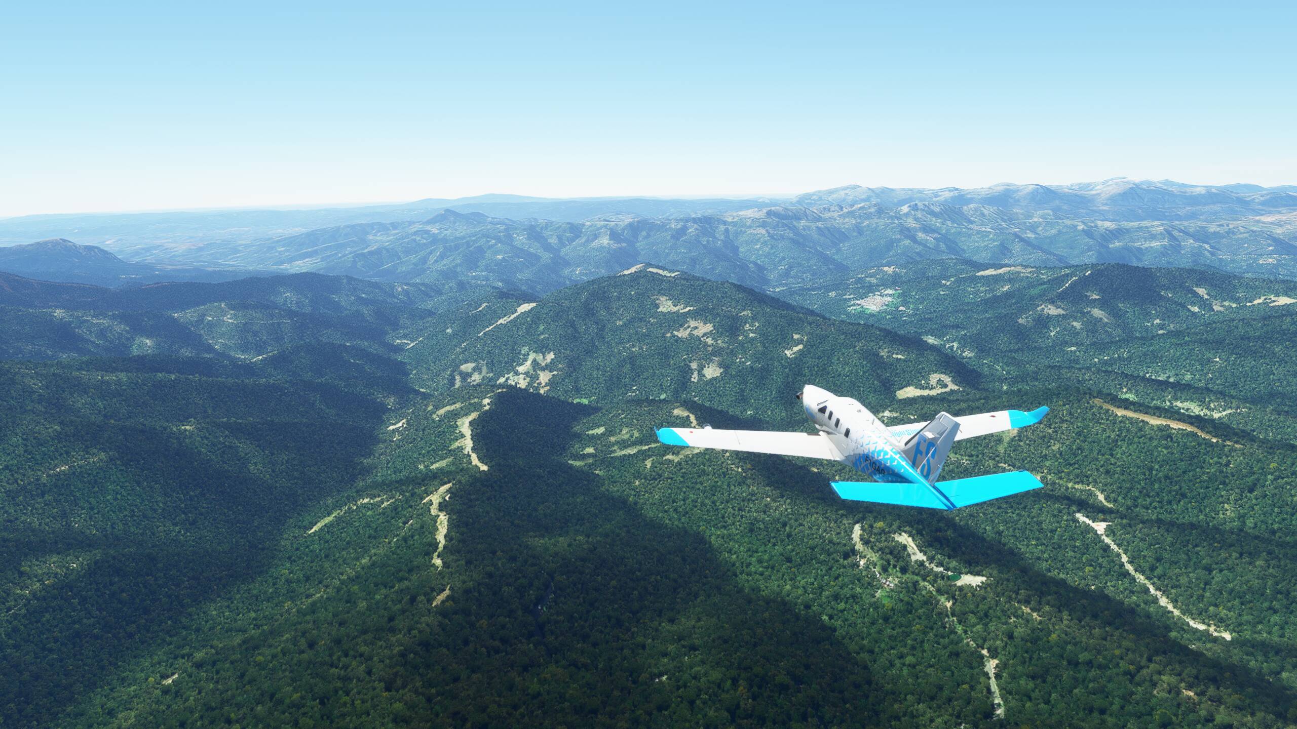
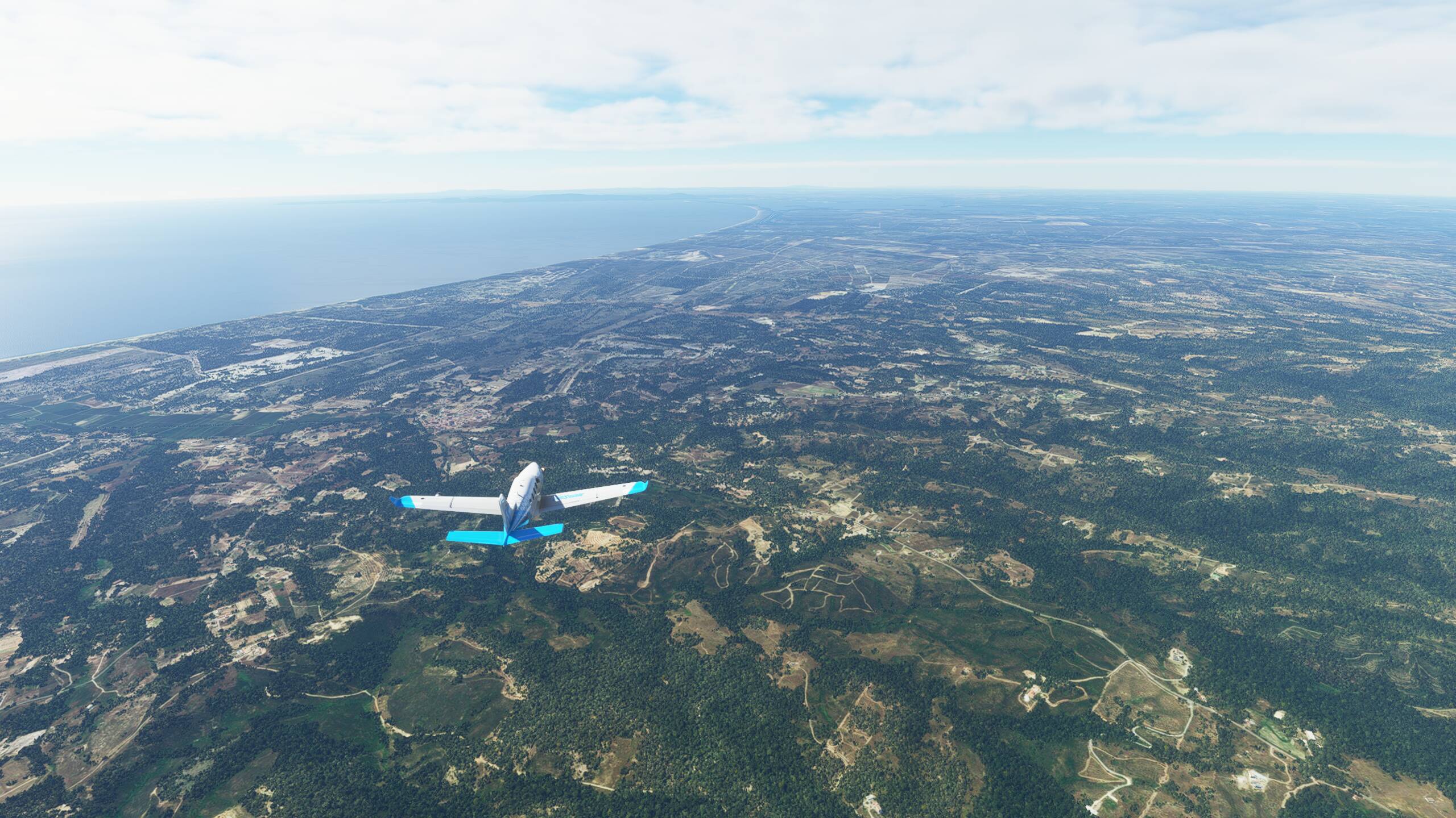
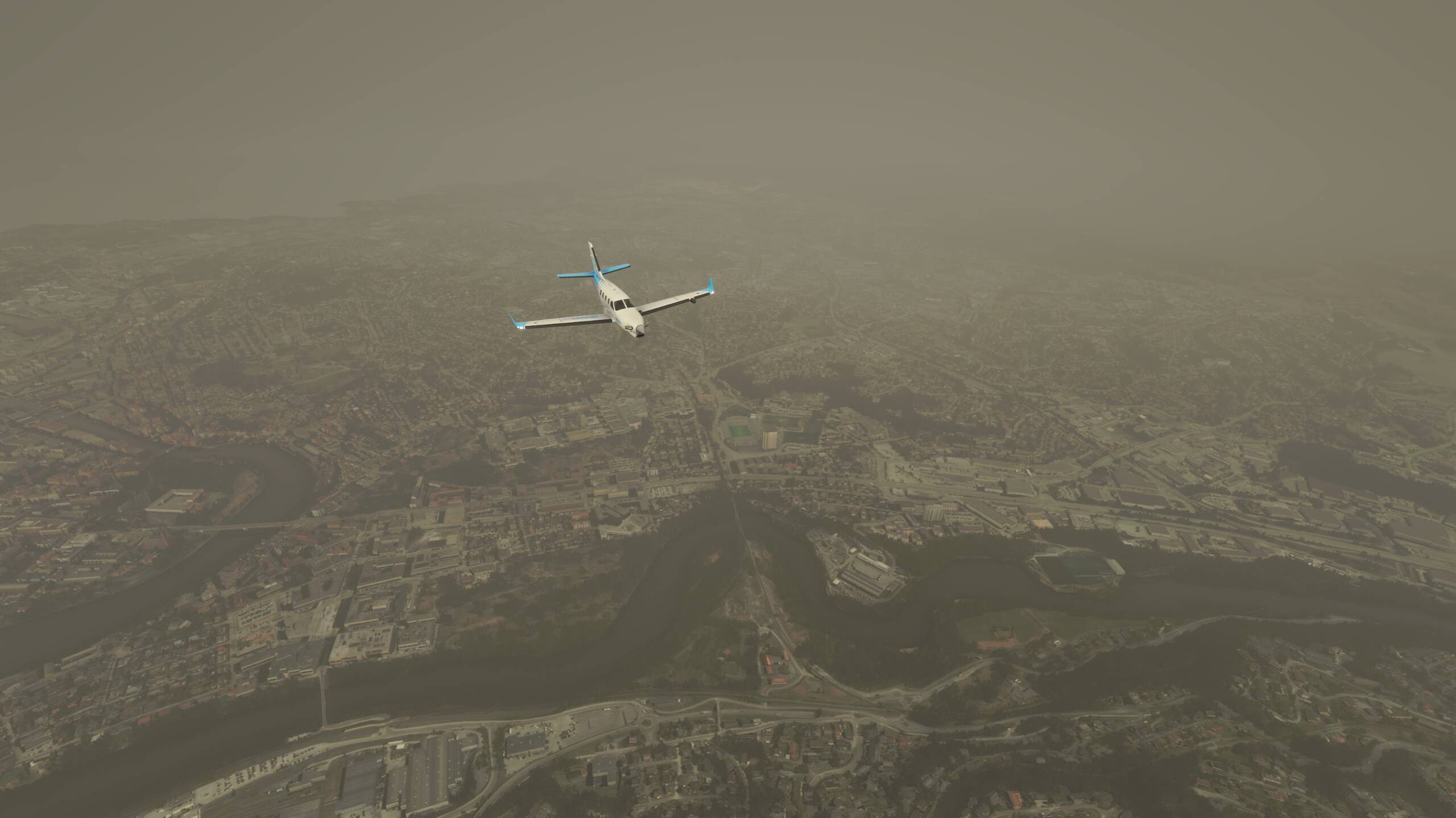
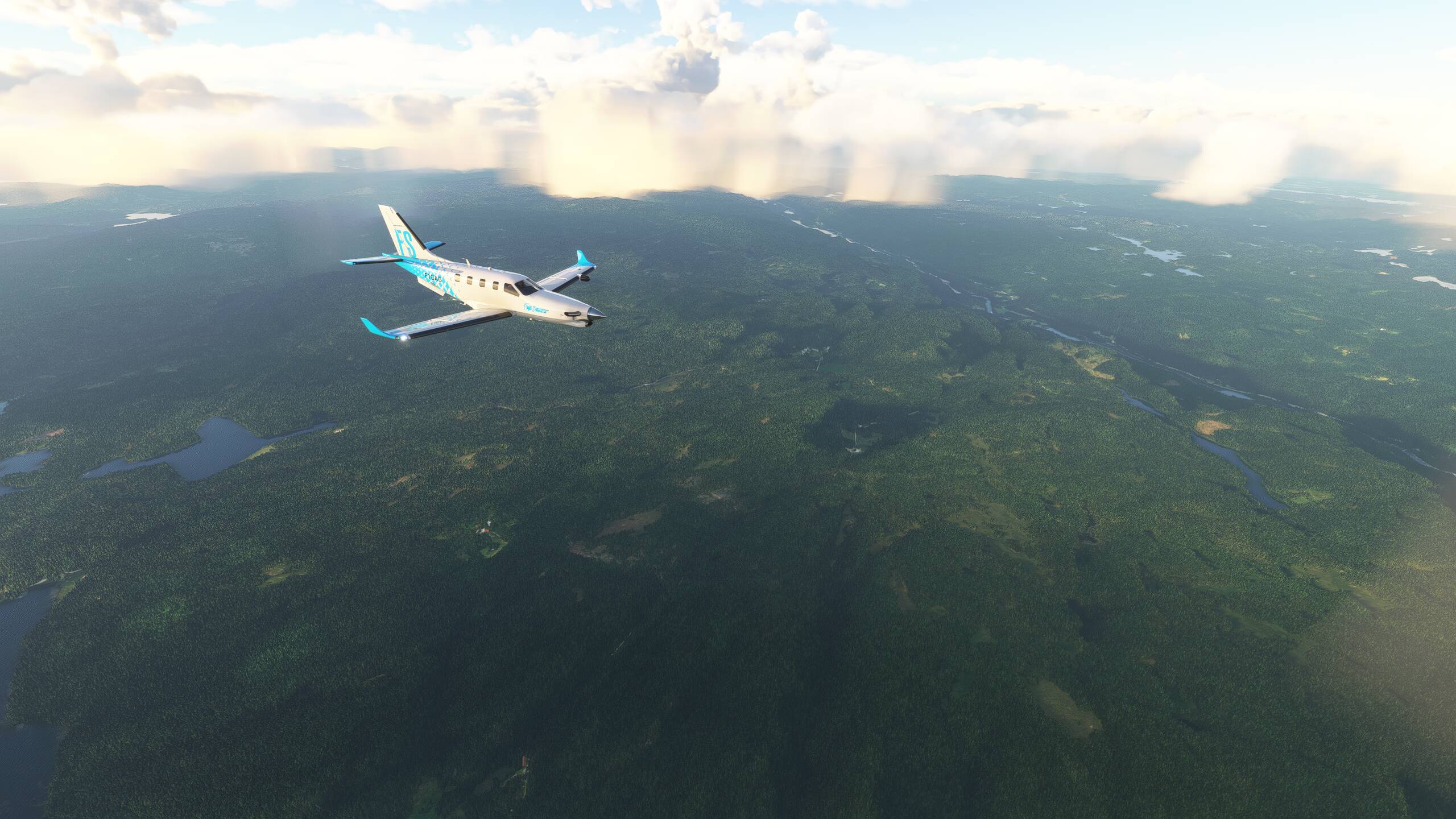
Well, the Chateau is down there somewhere…honest!
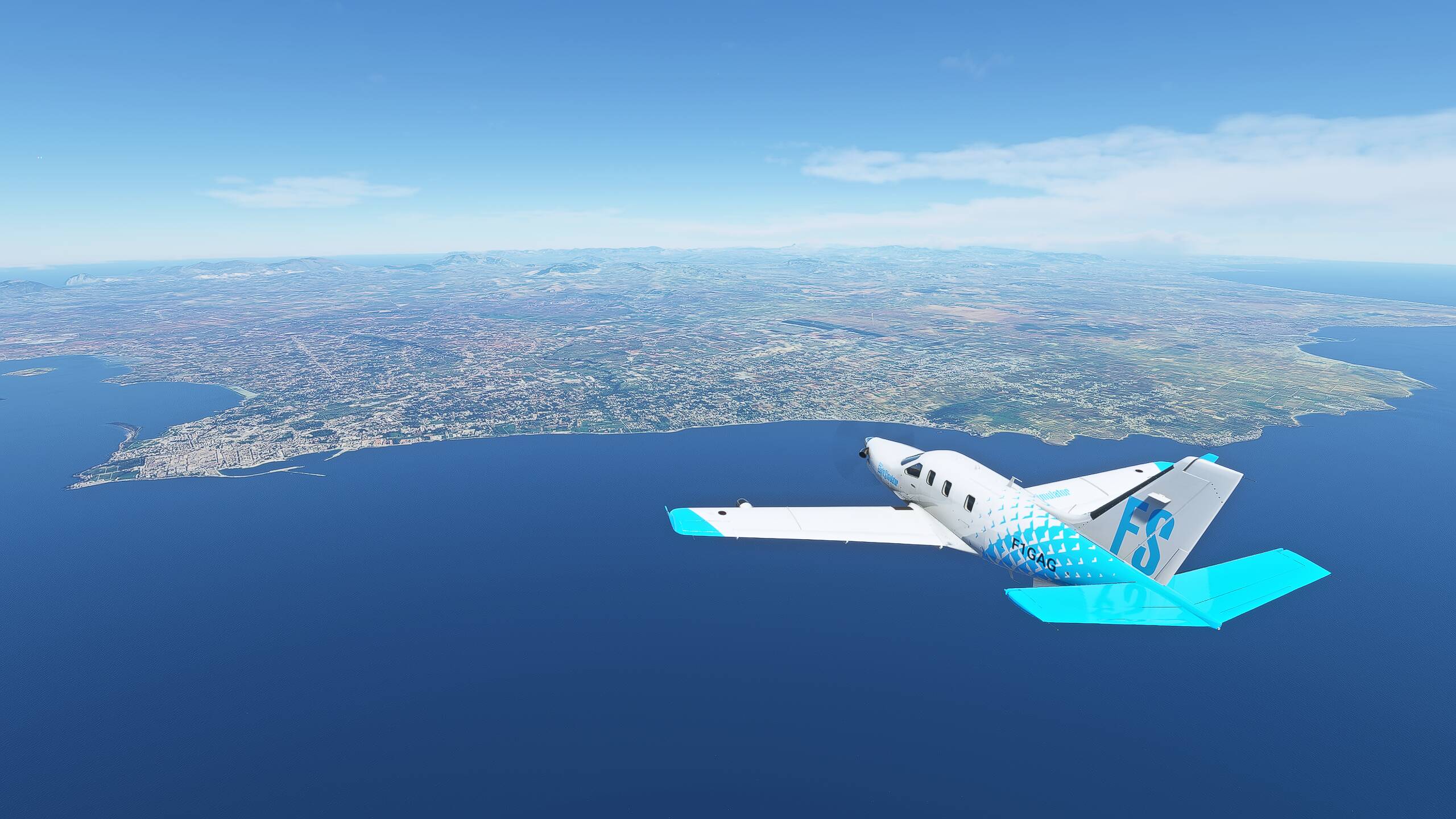
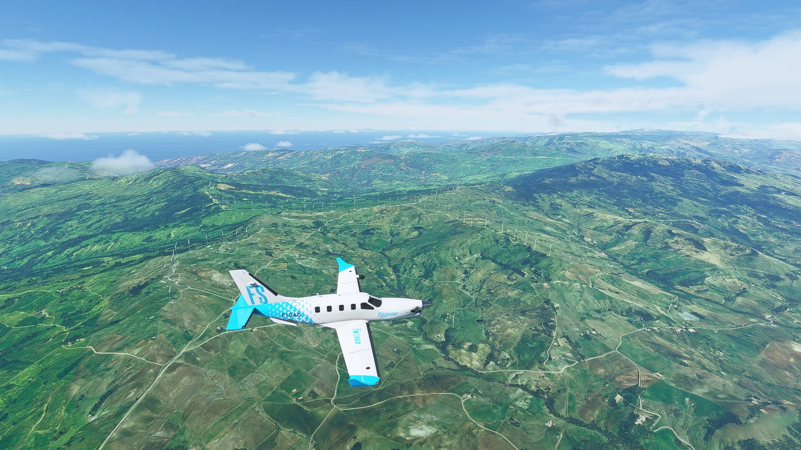
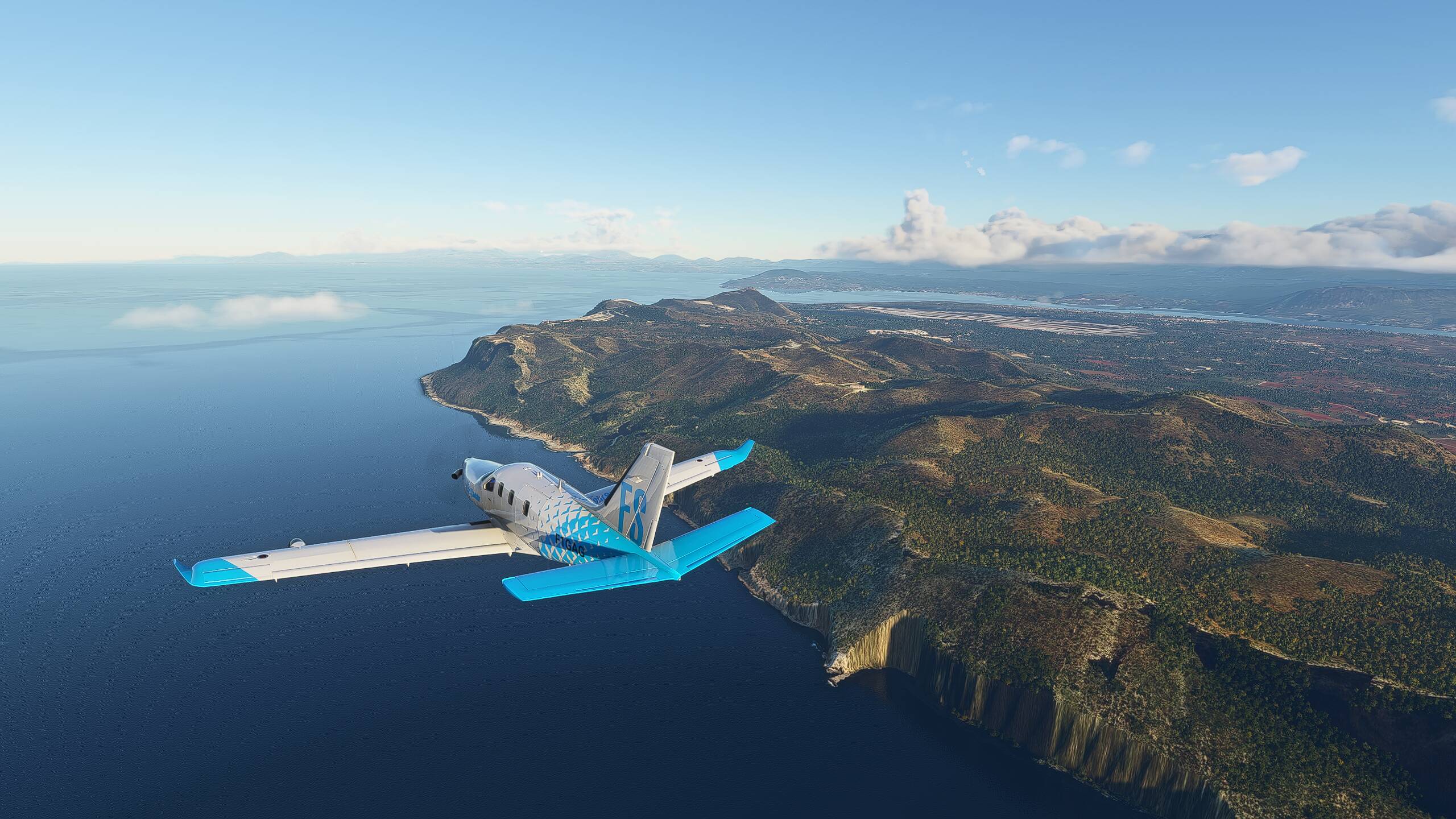
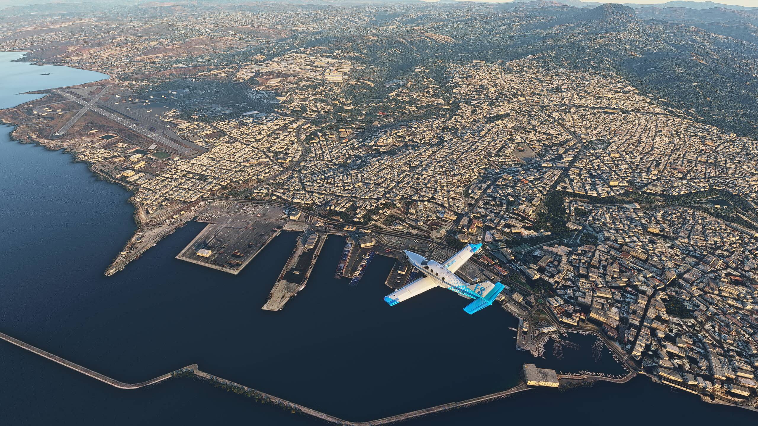
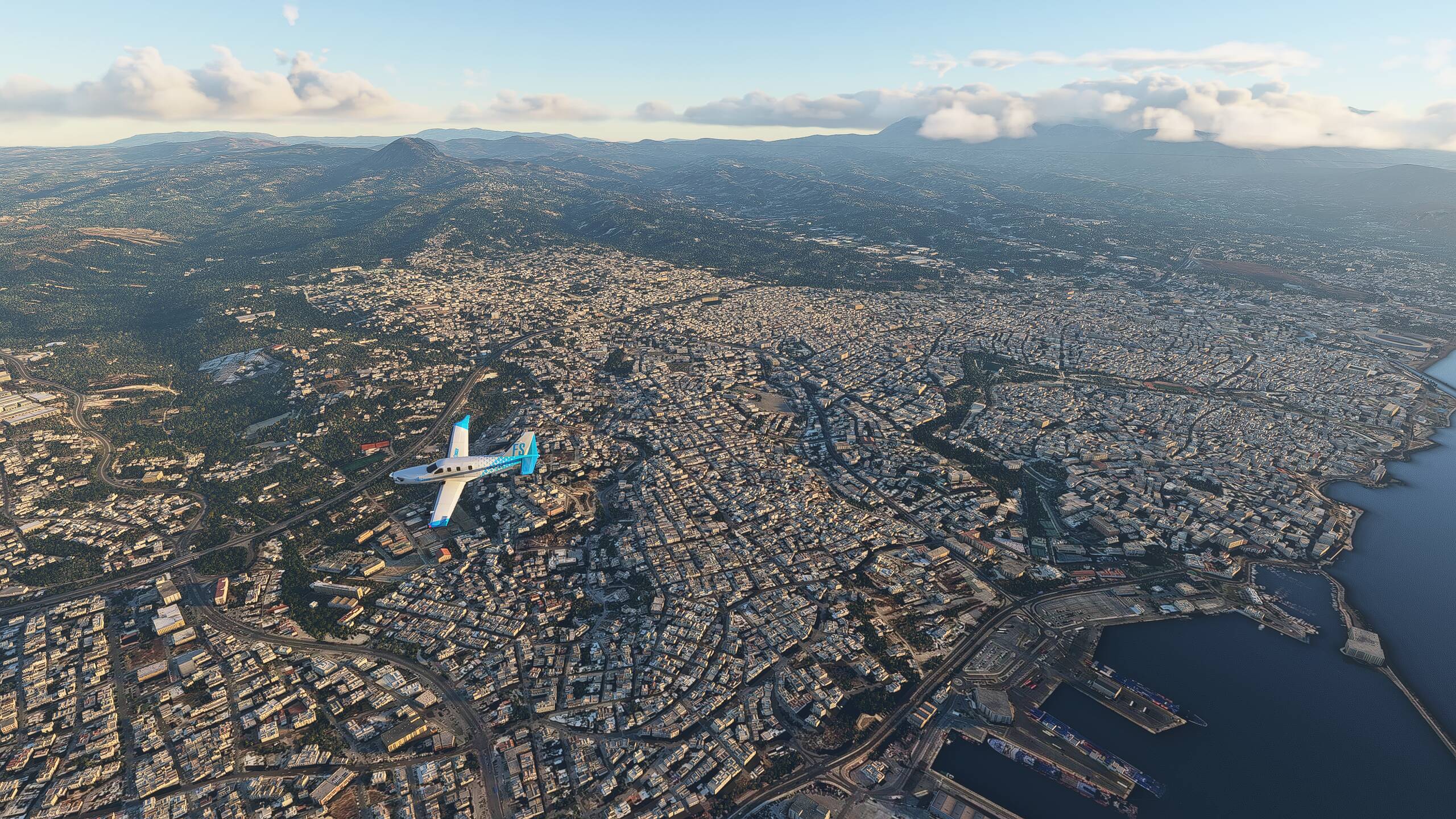
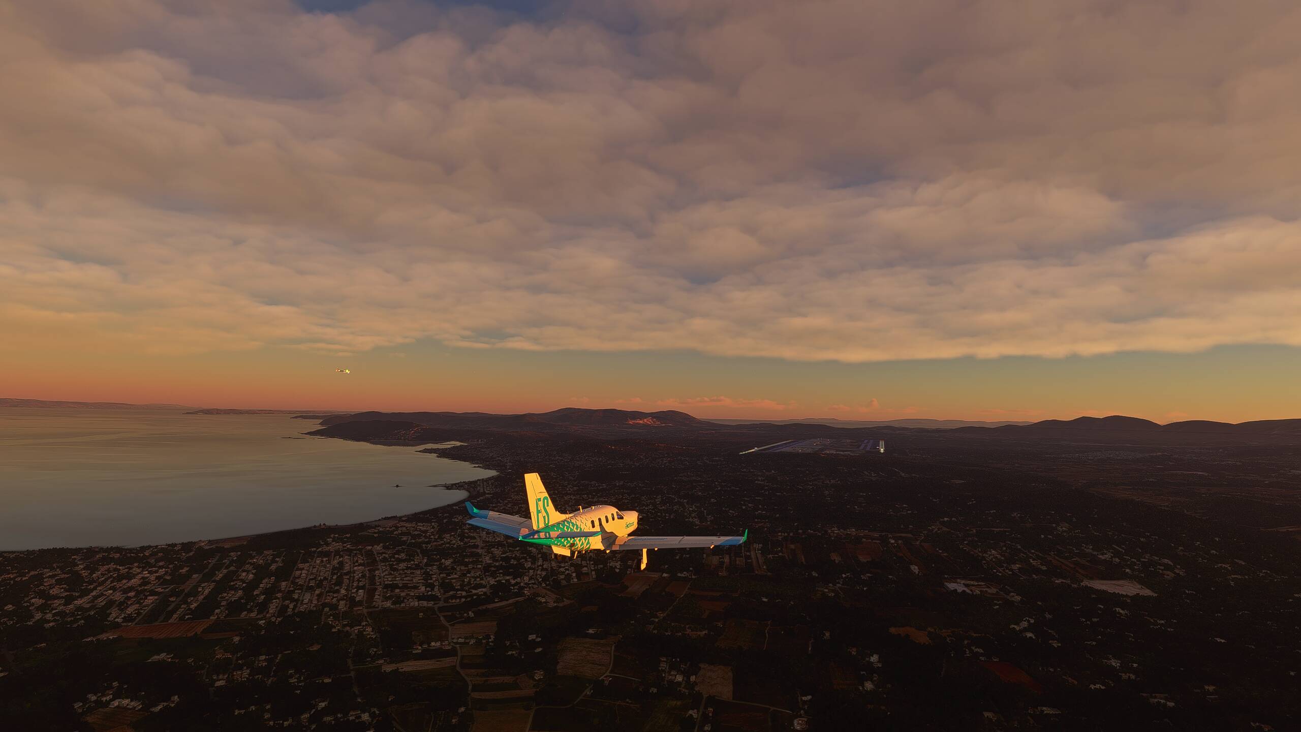
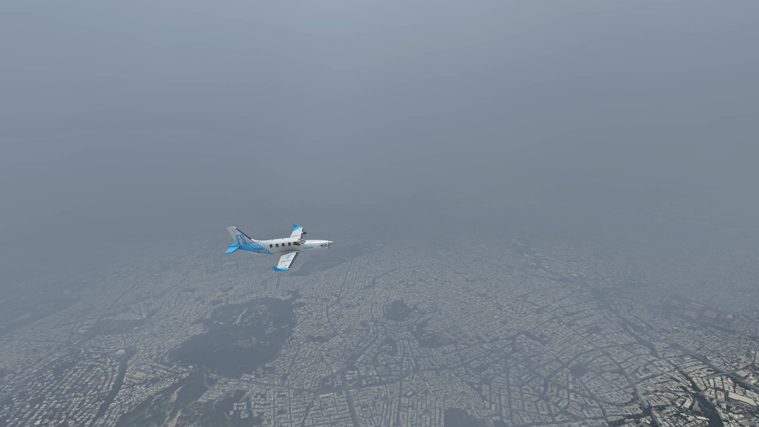
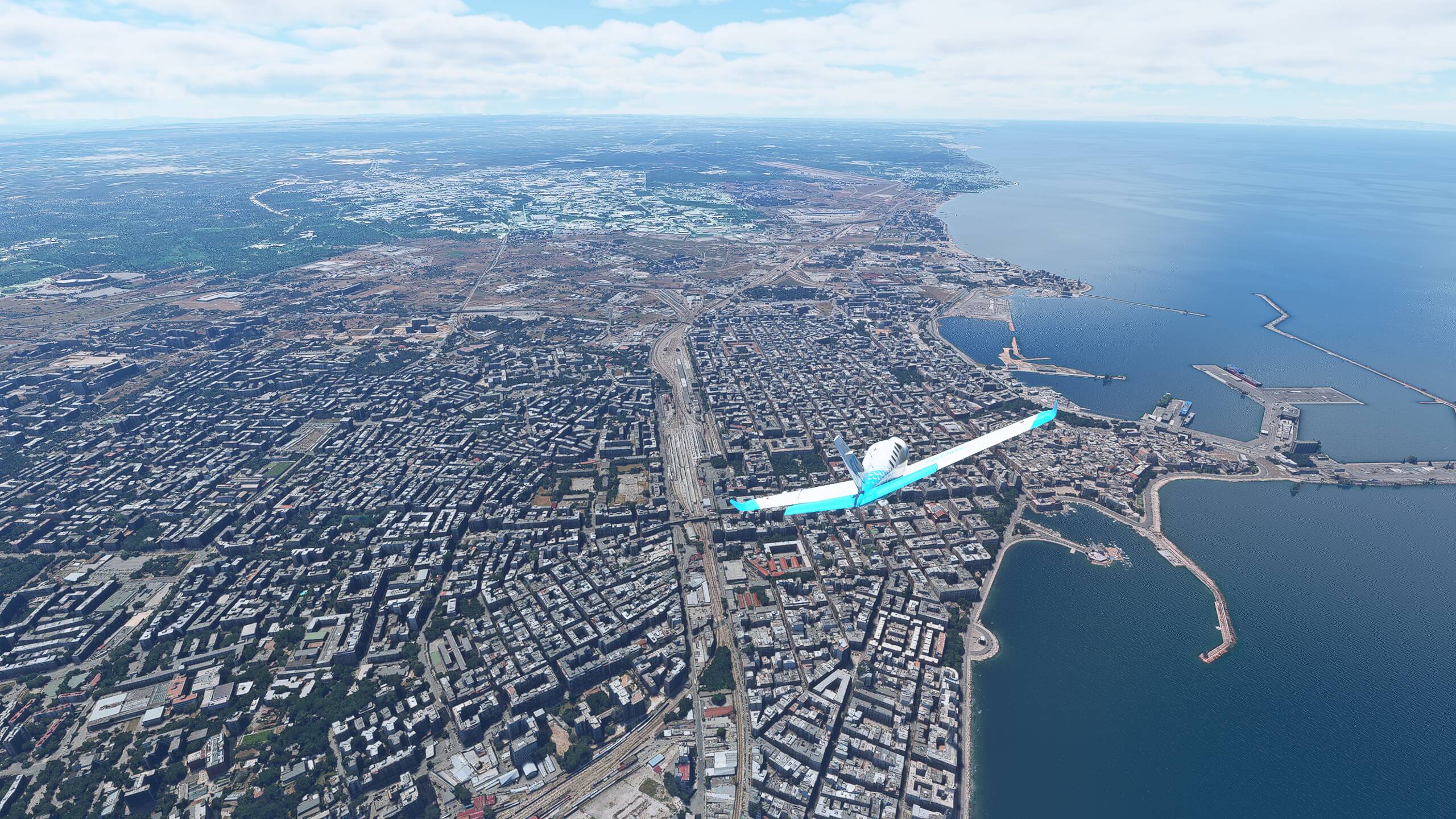
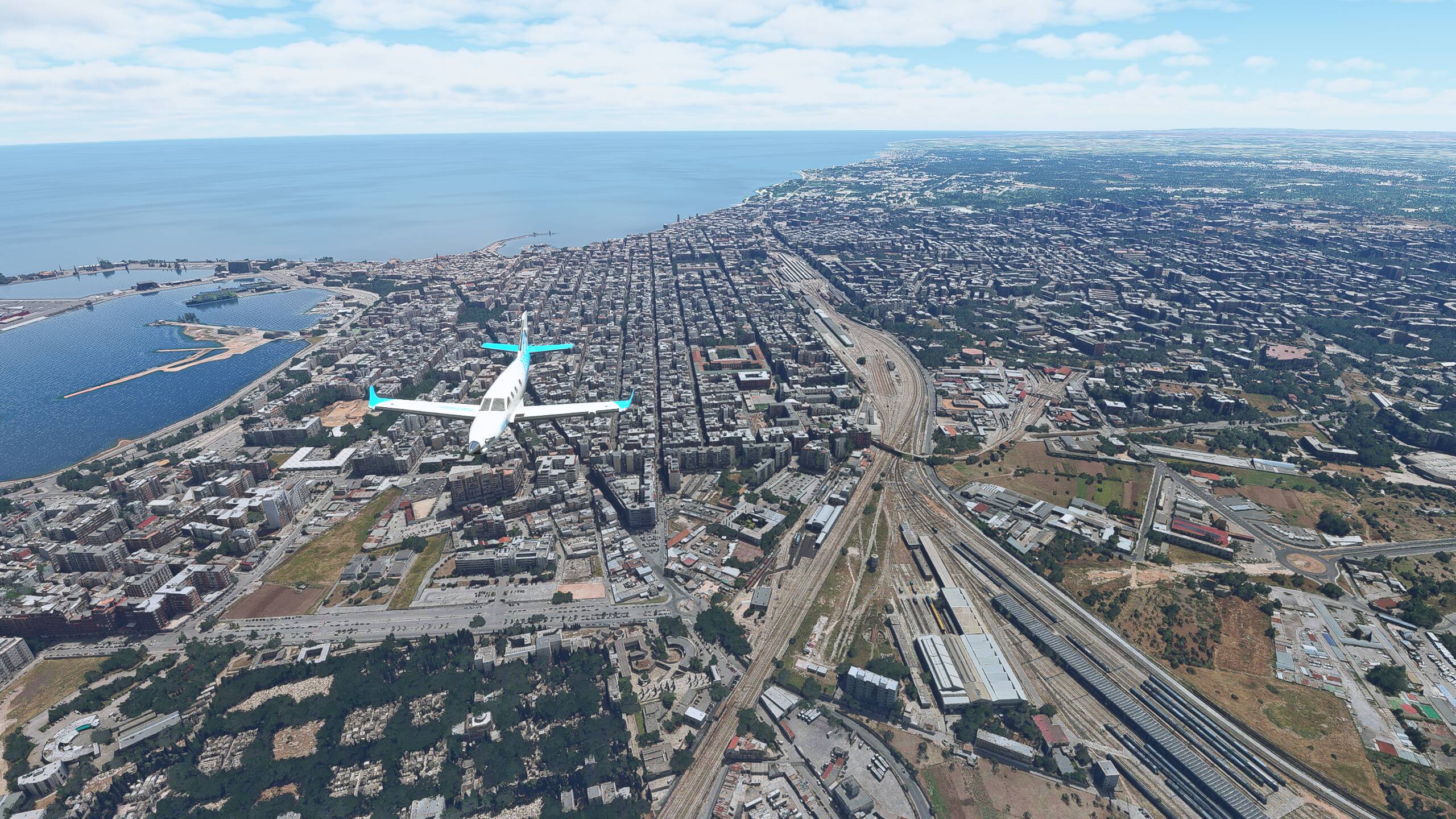
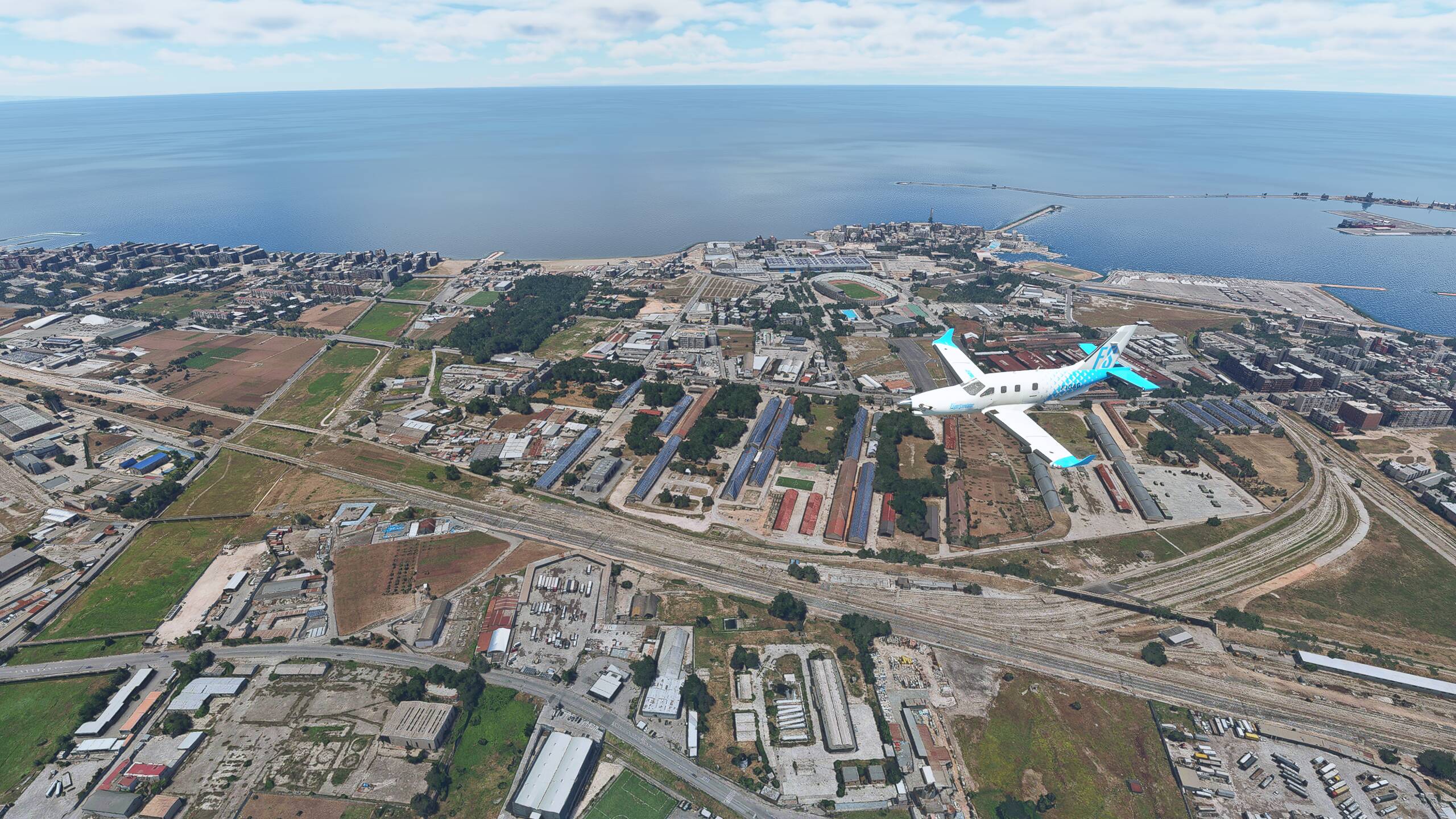
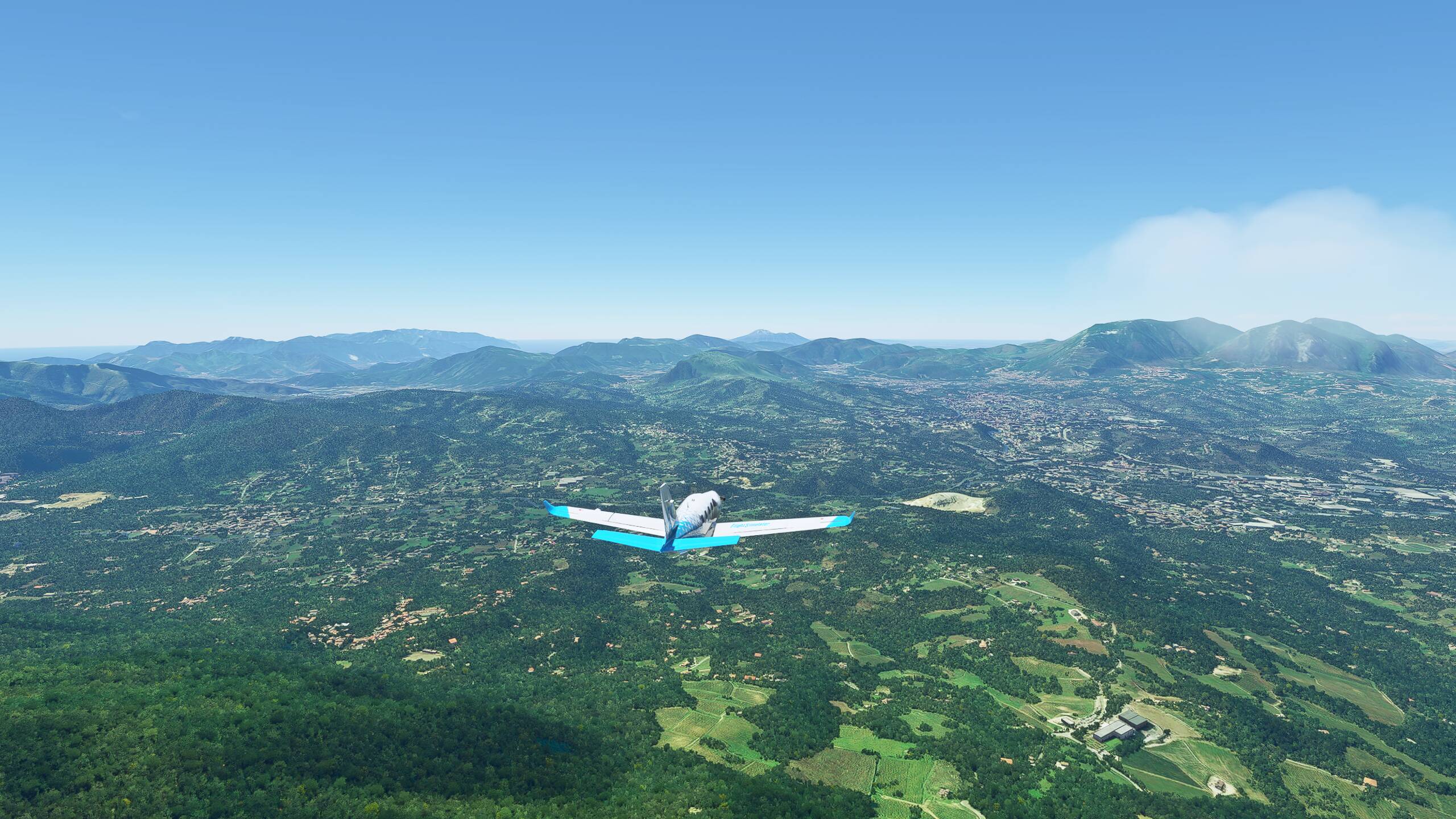
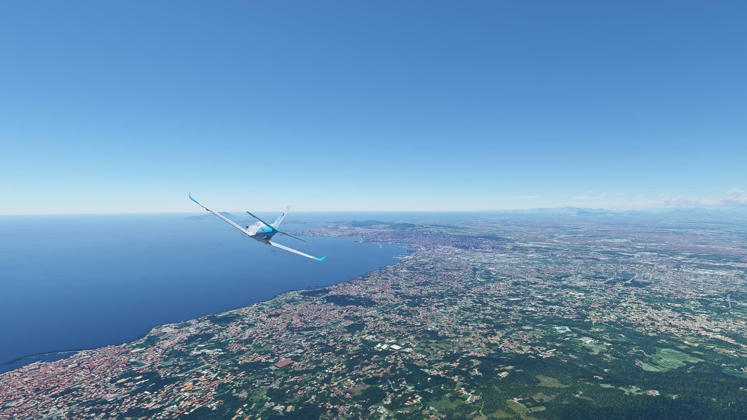
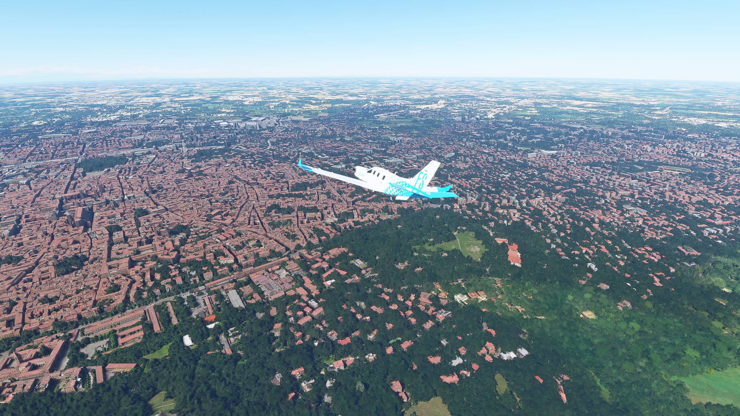
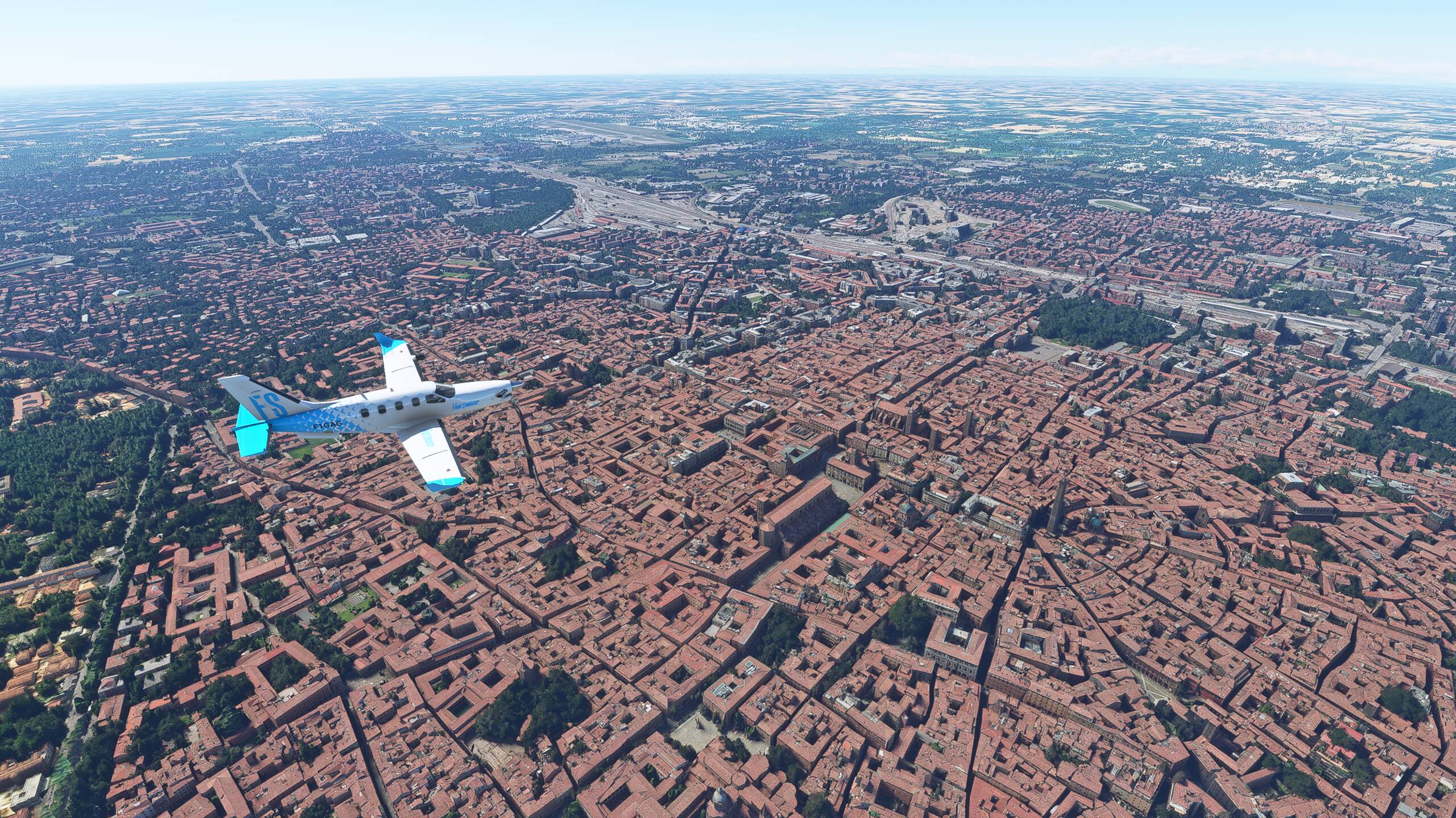
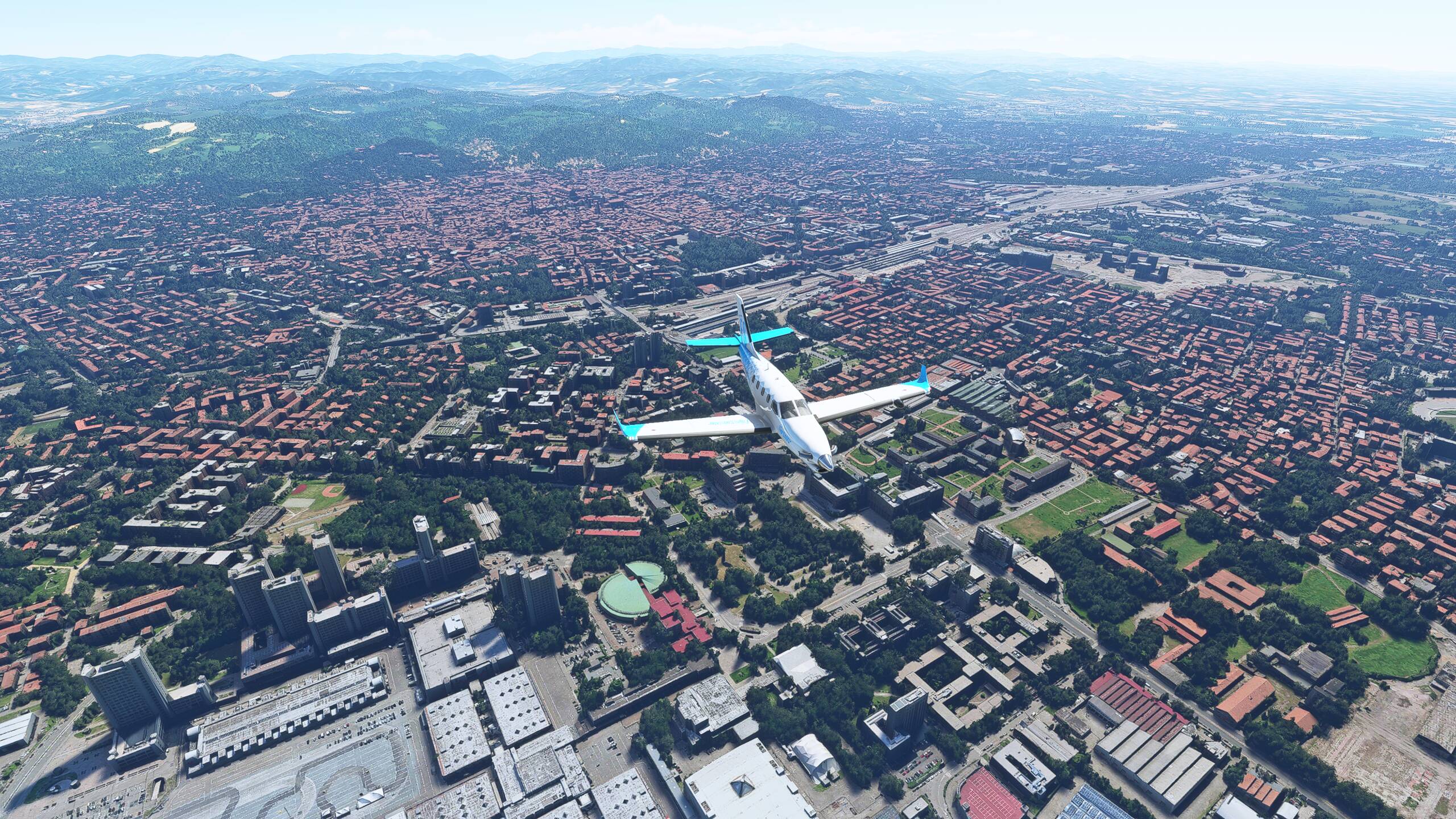
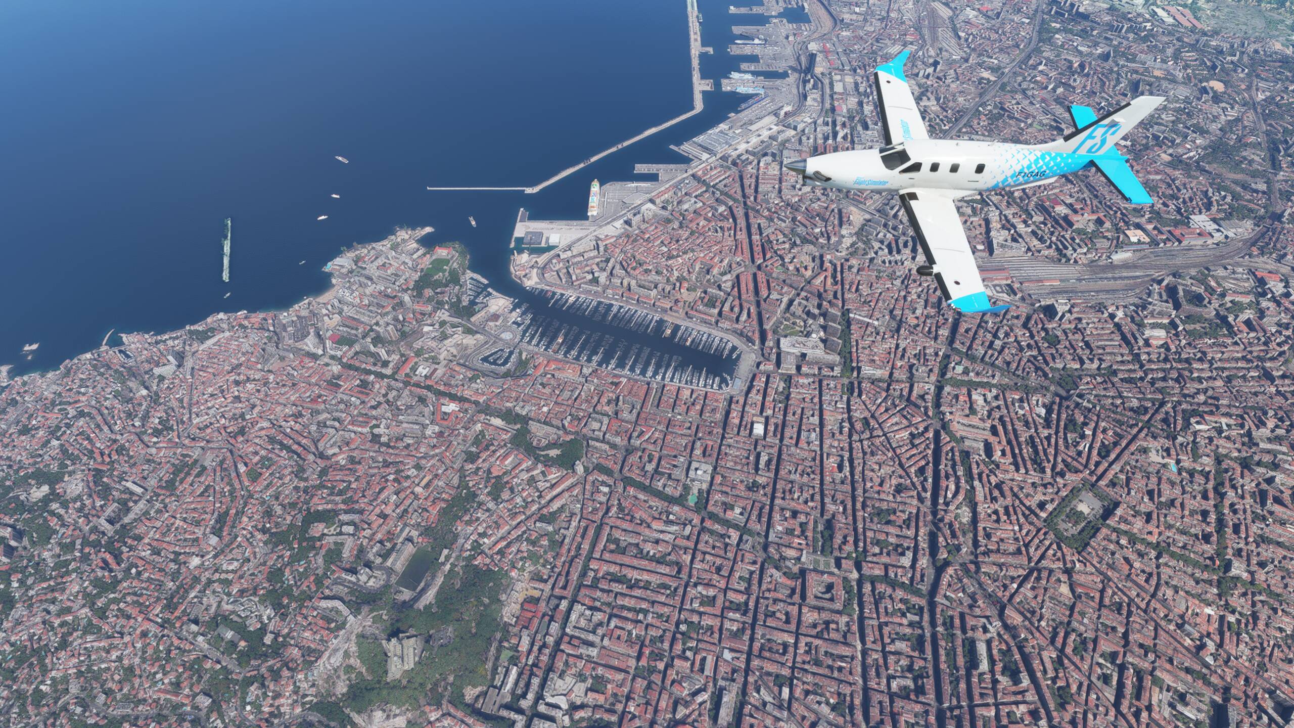
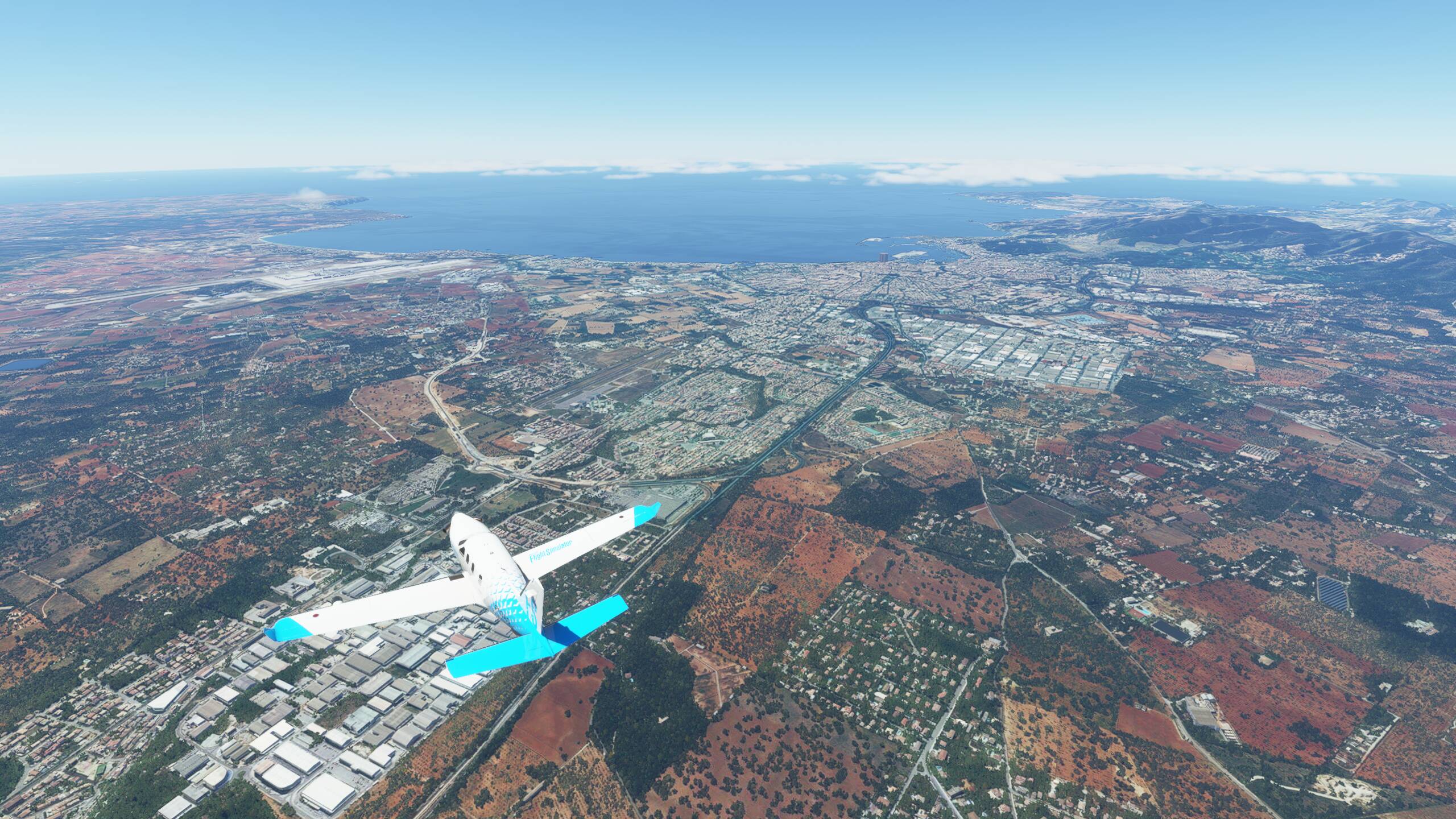
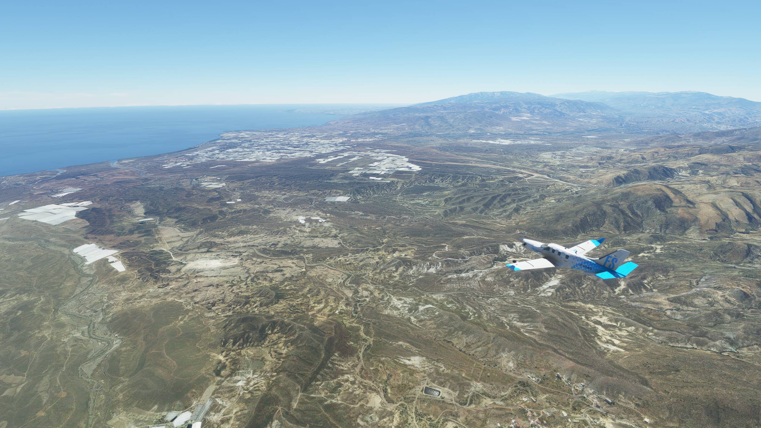
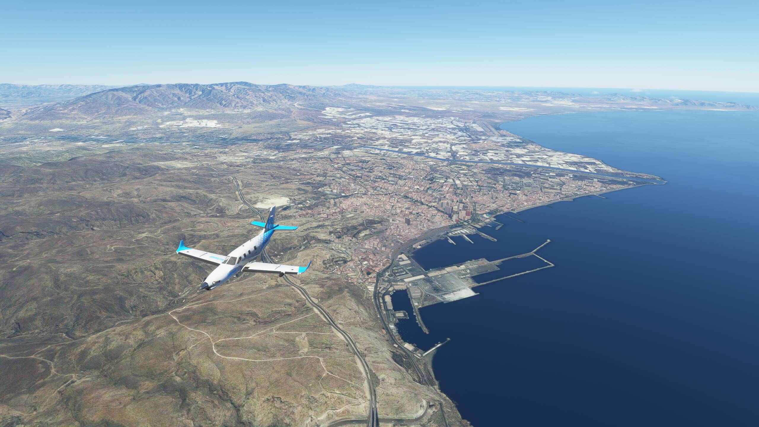
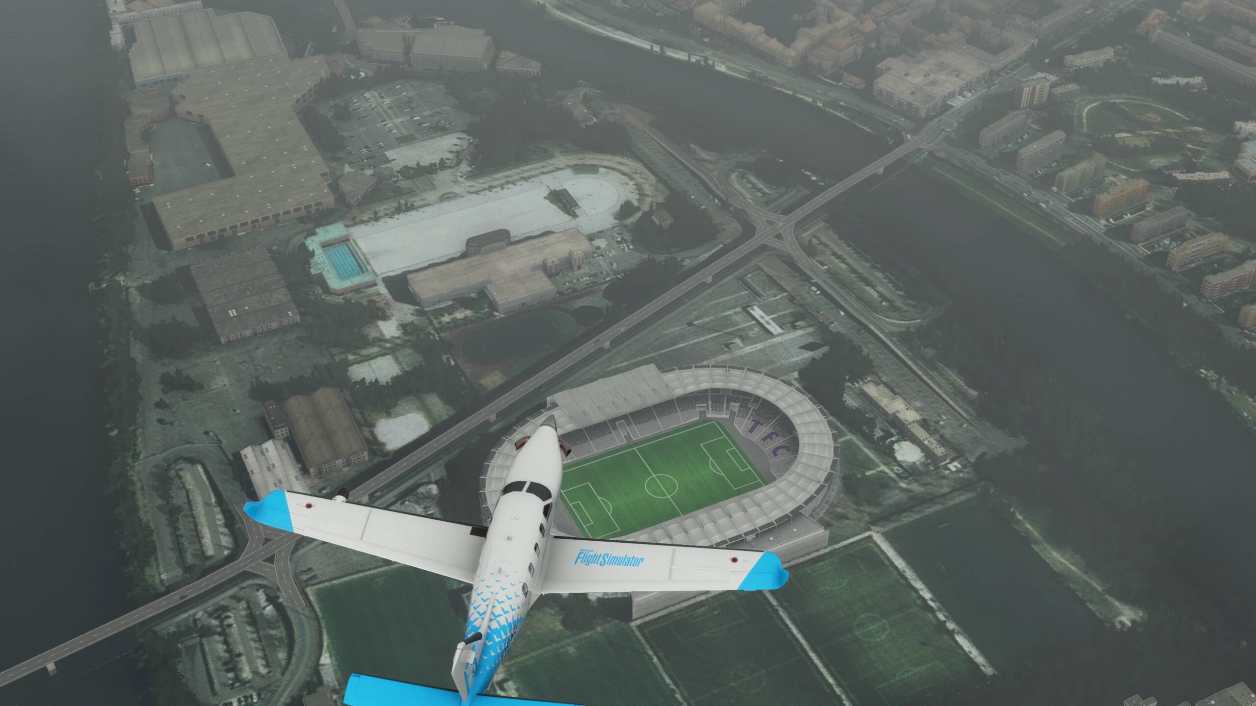
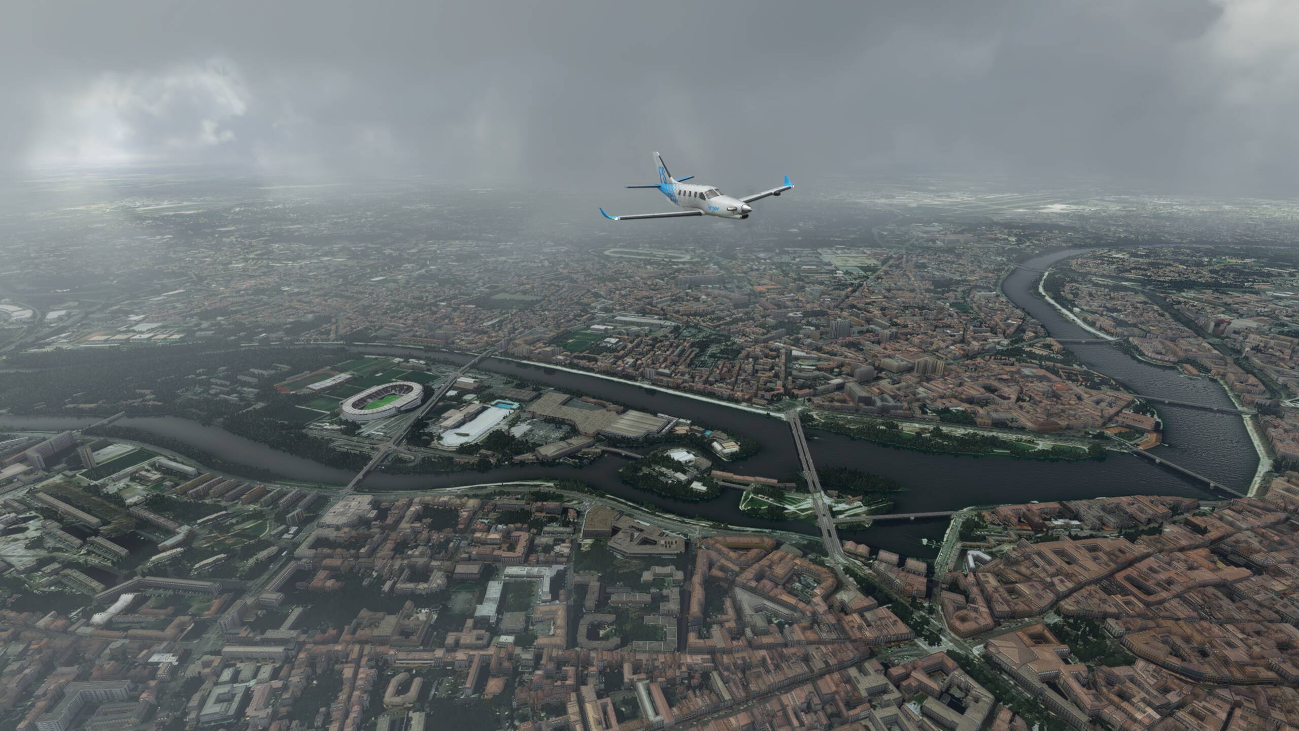
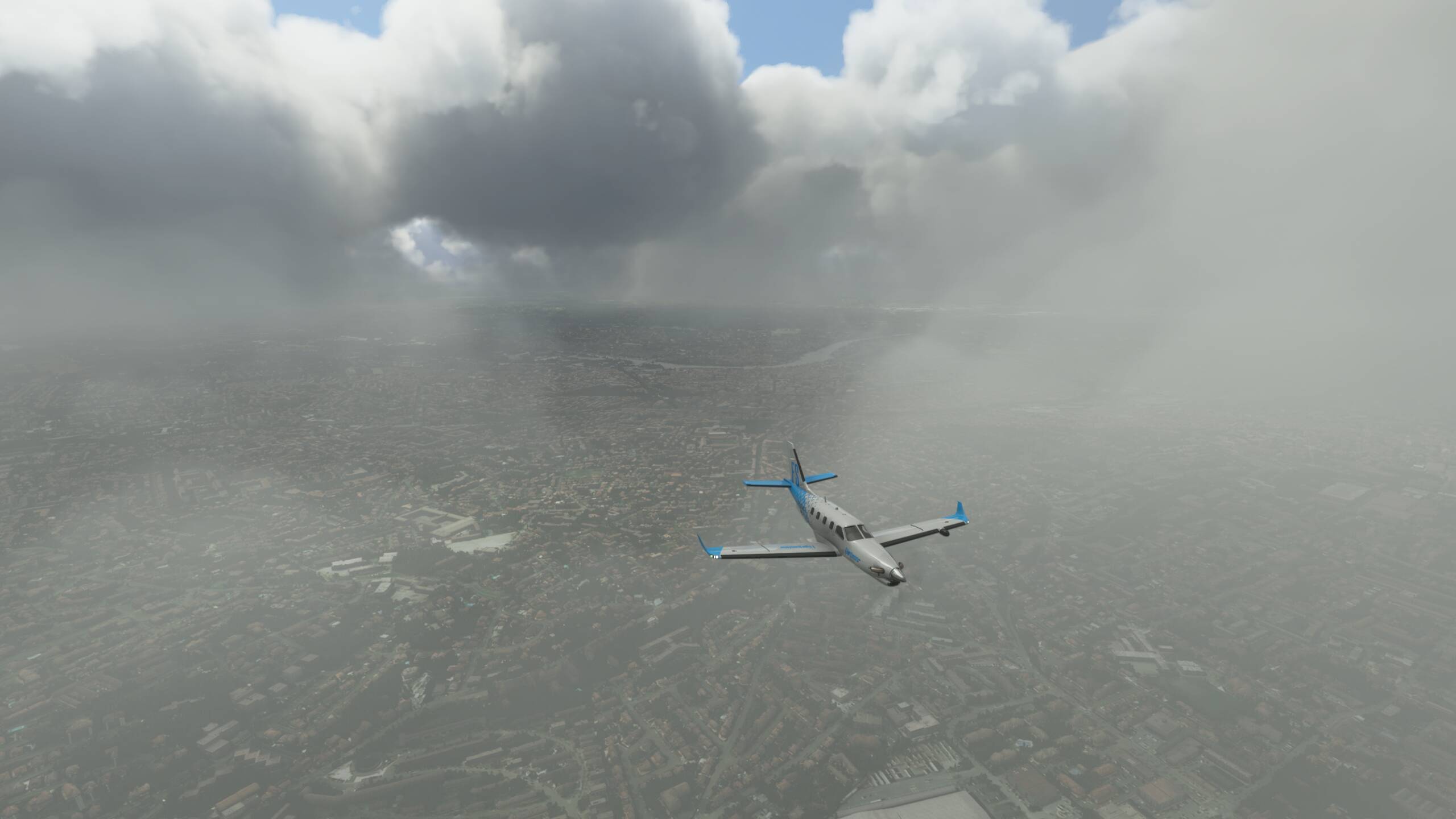
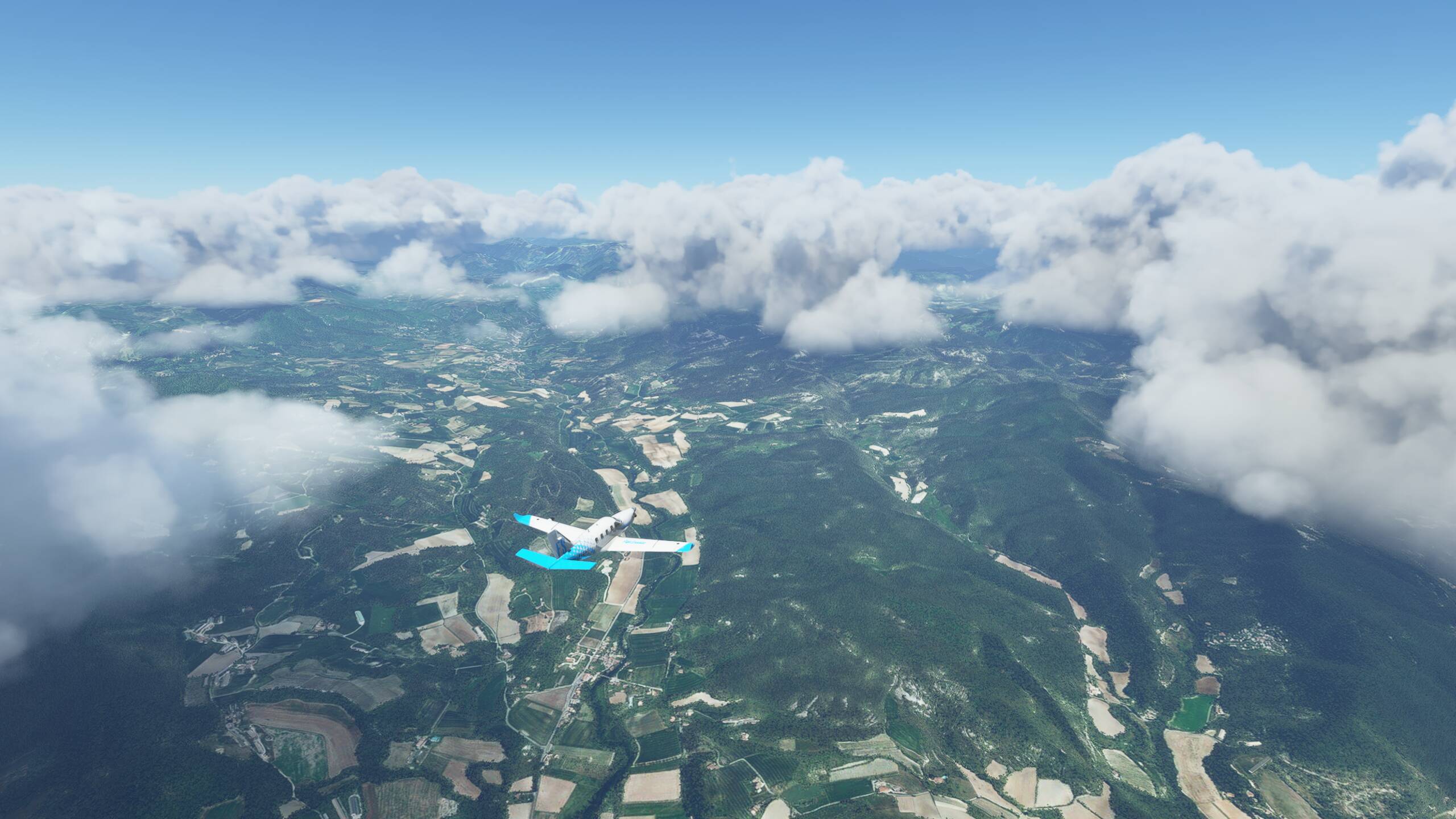
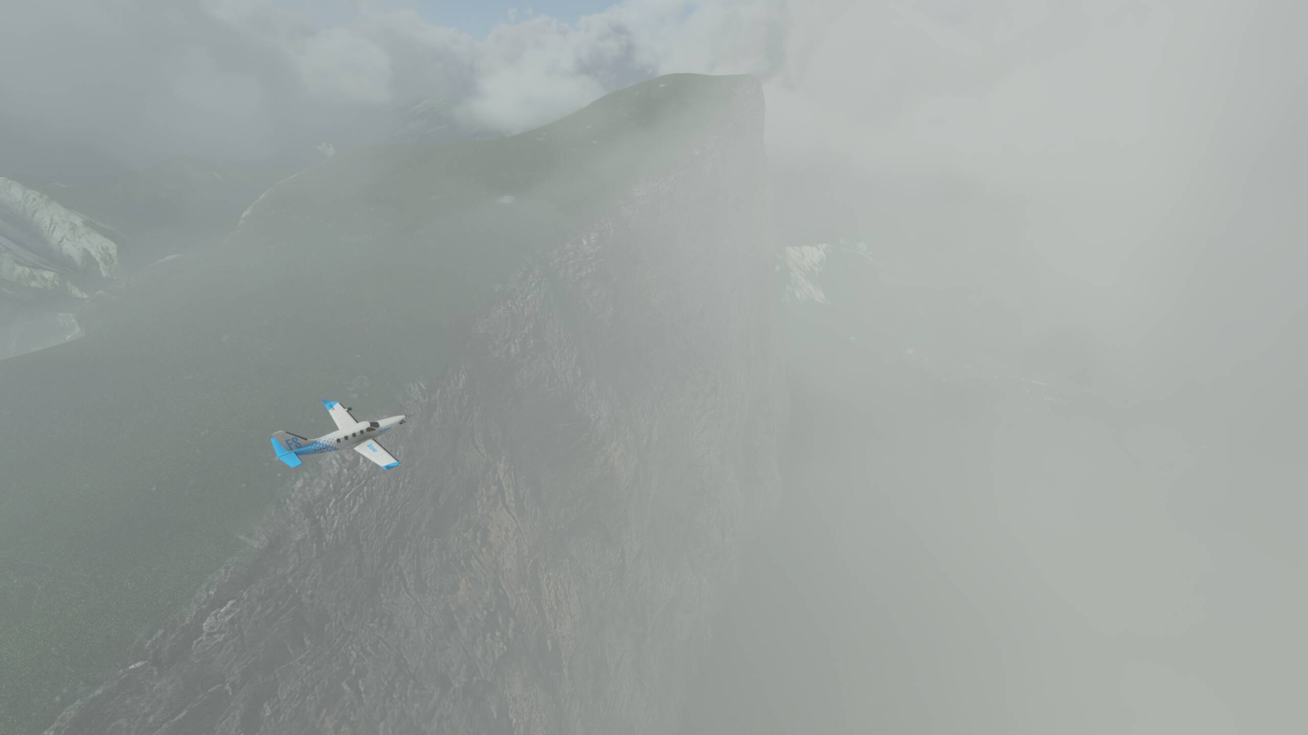
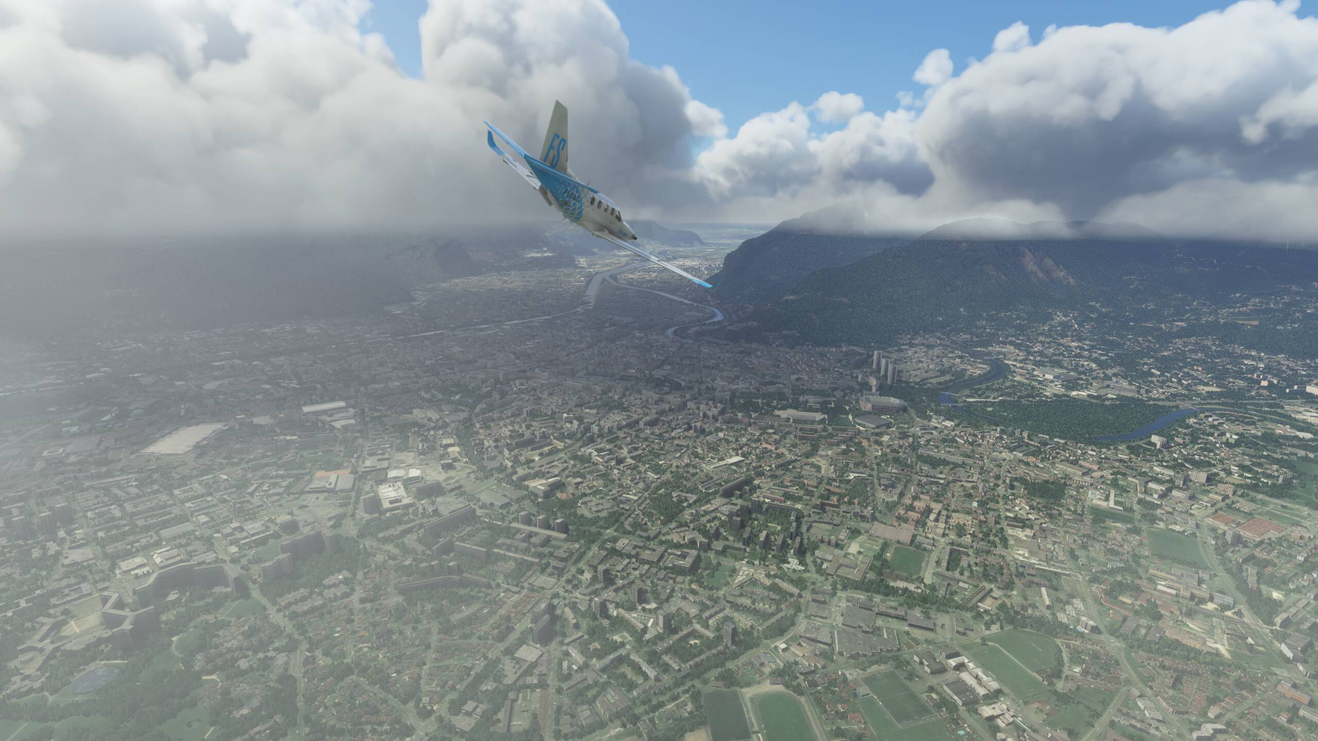
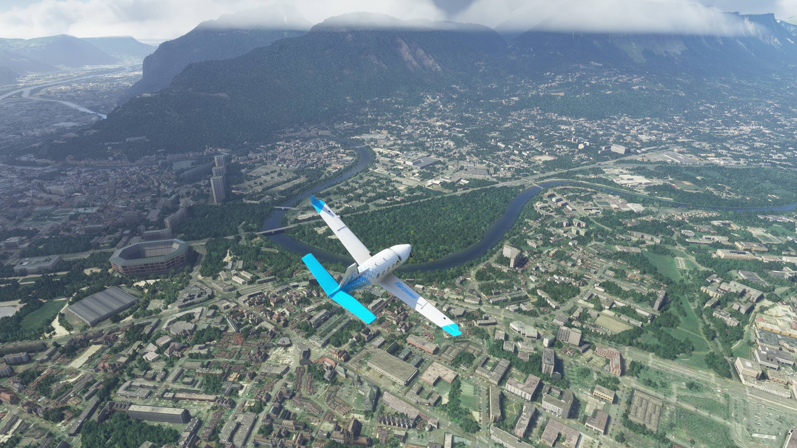
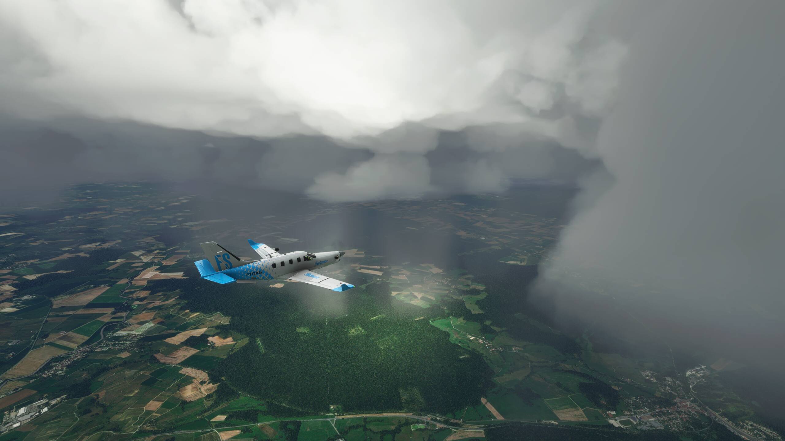
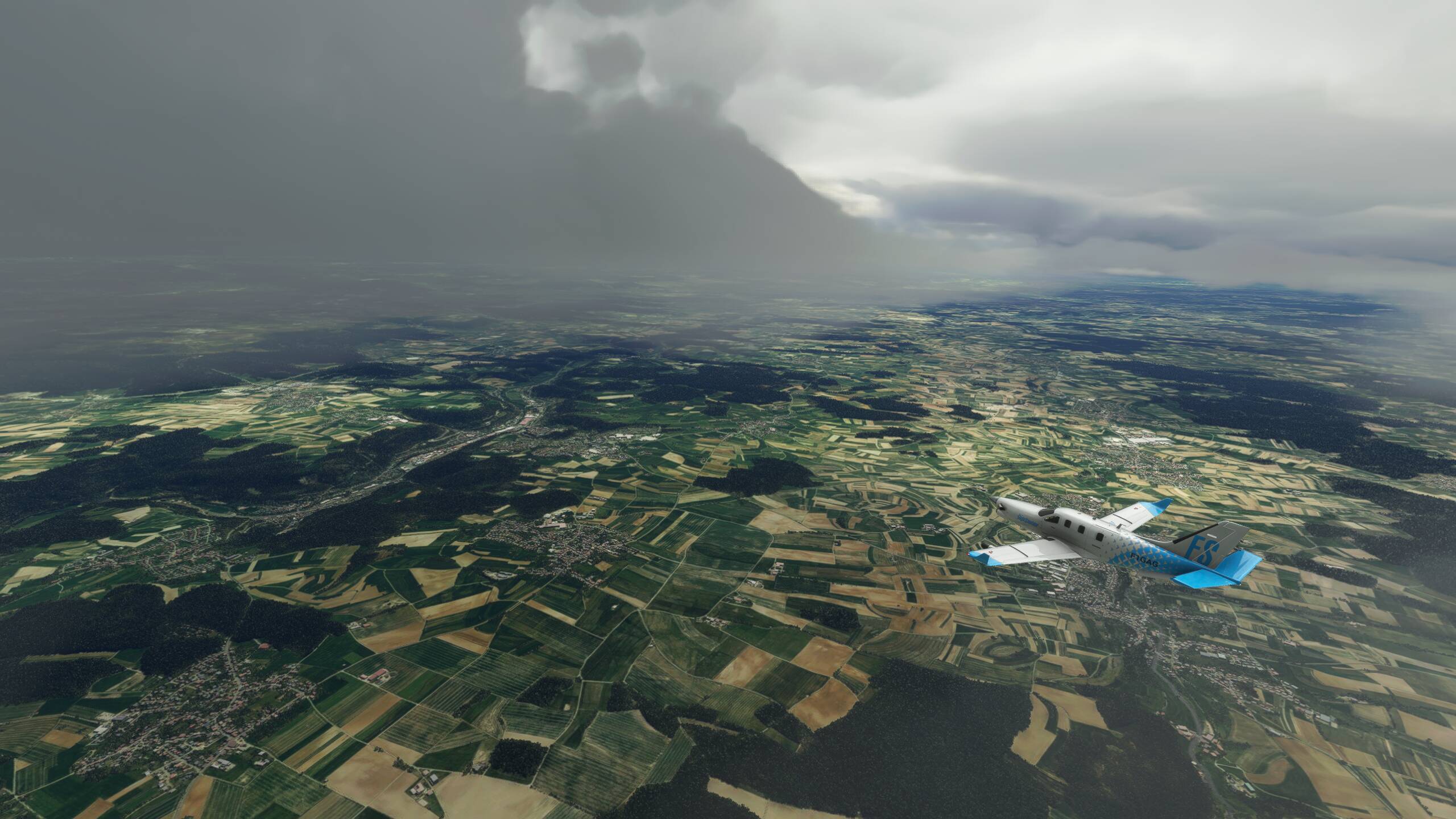
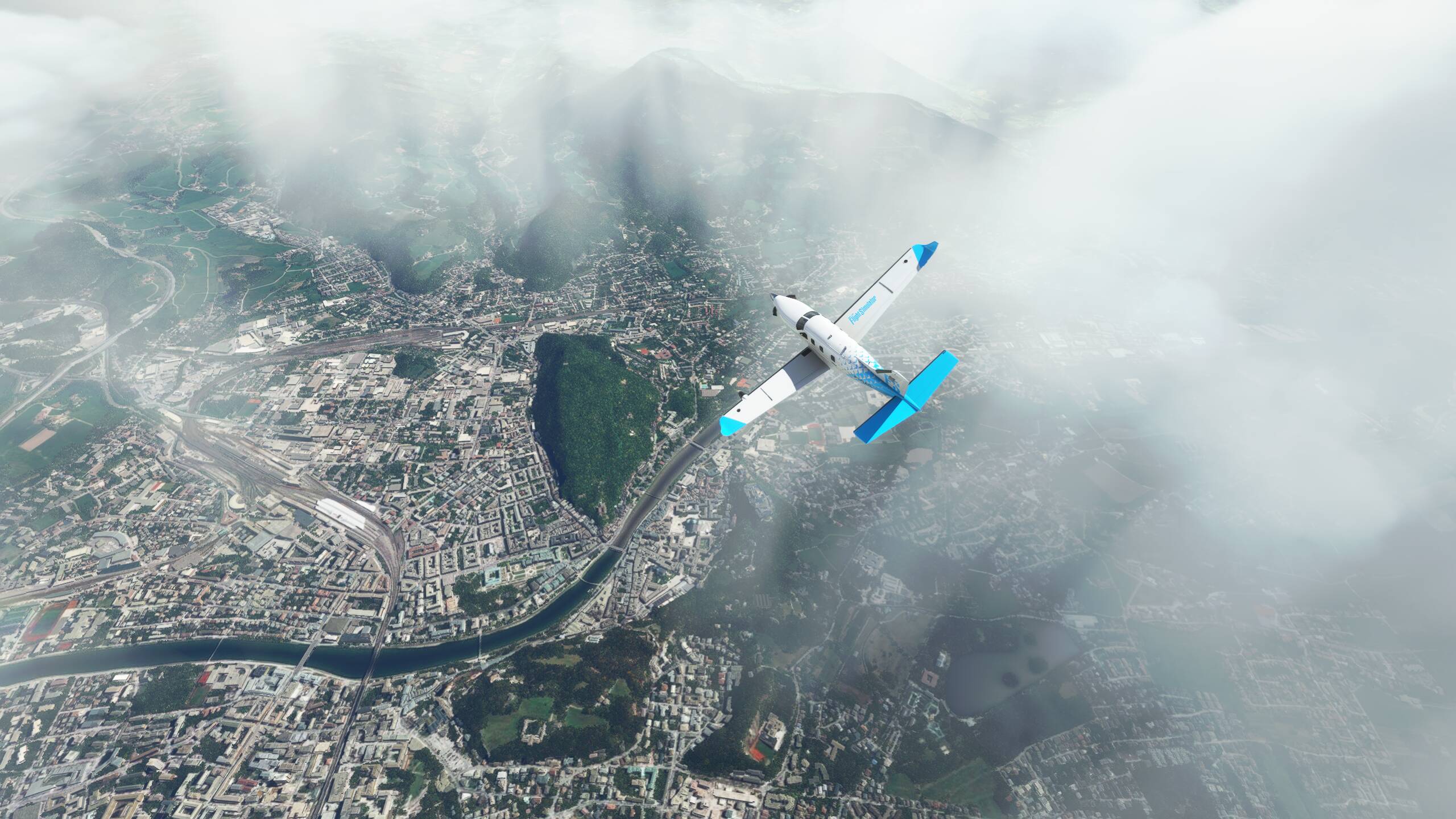
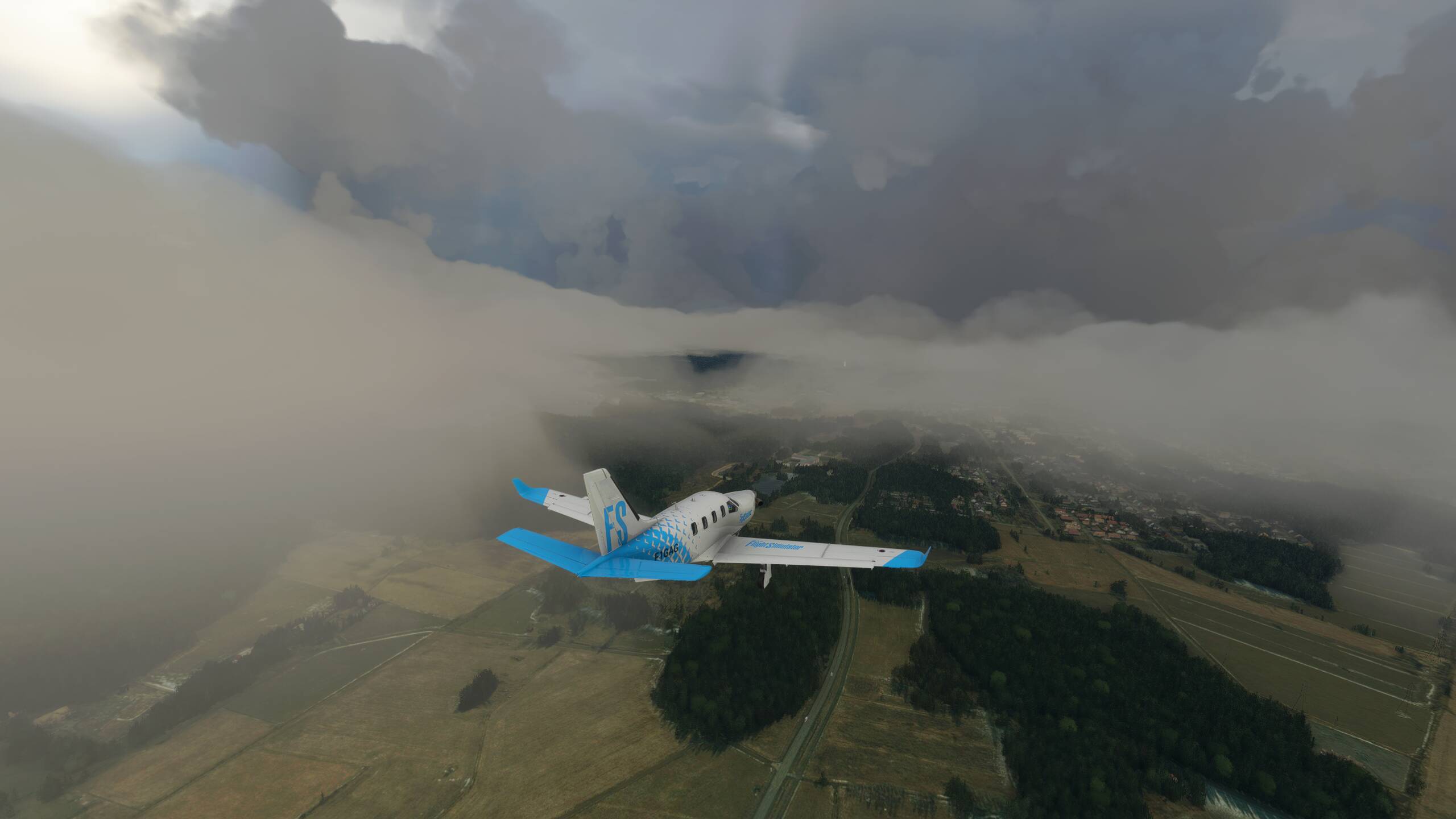
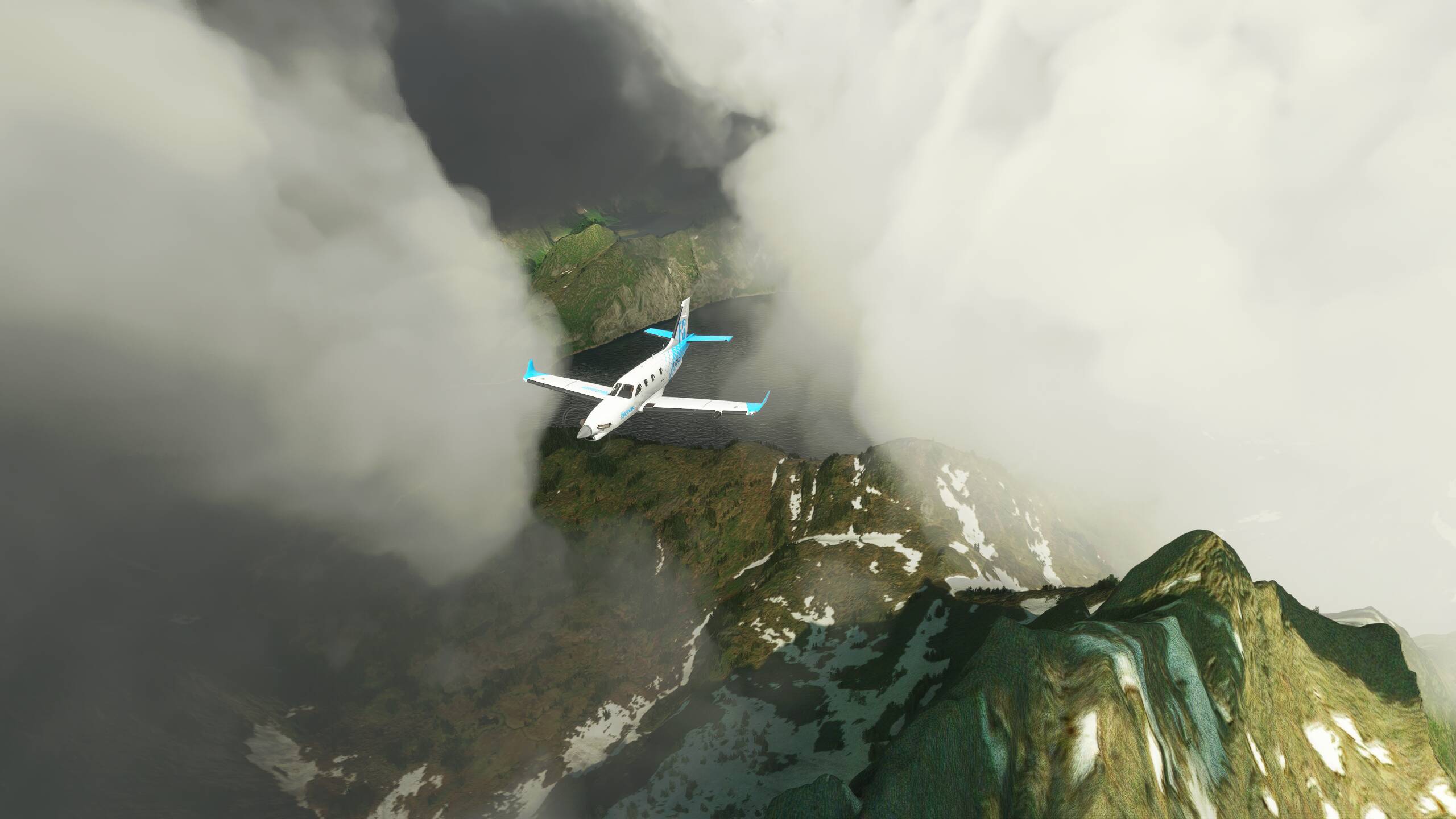
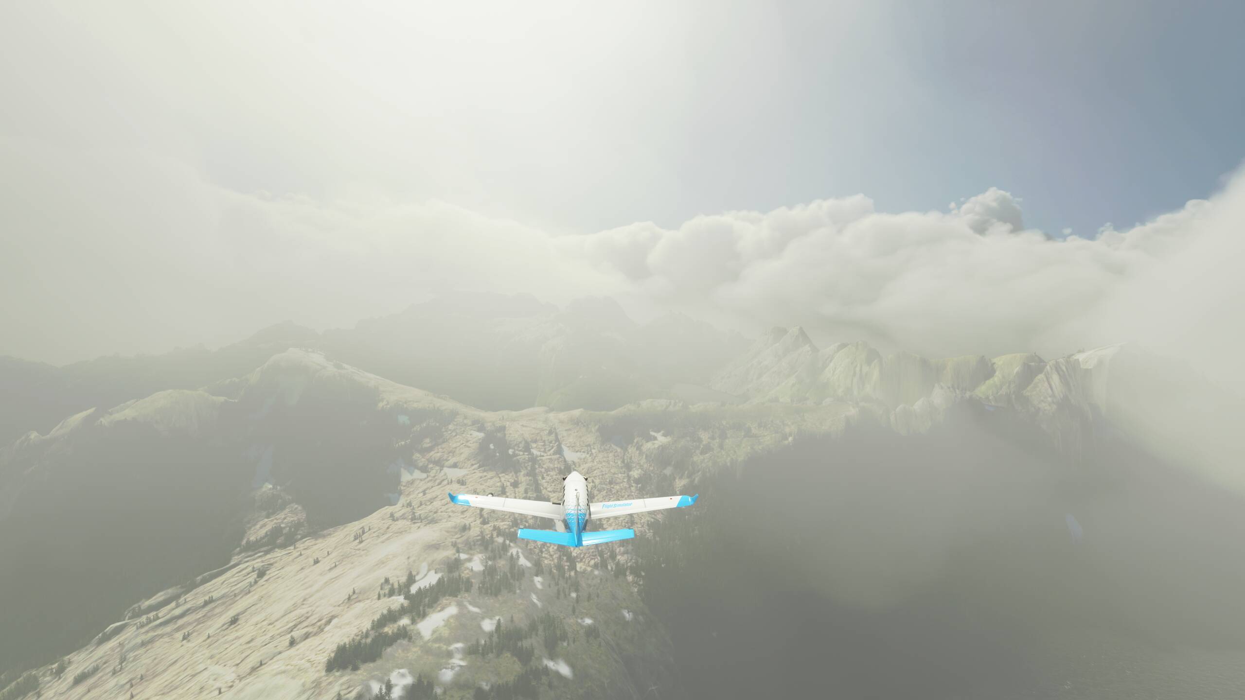
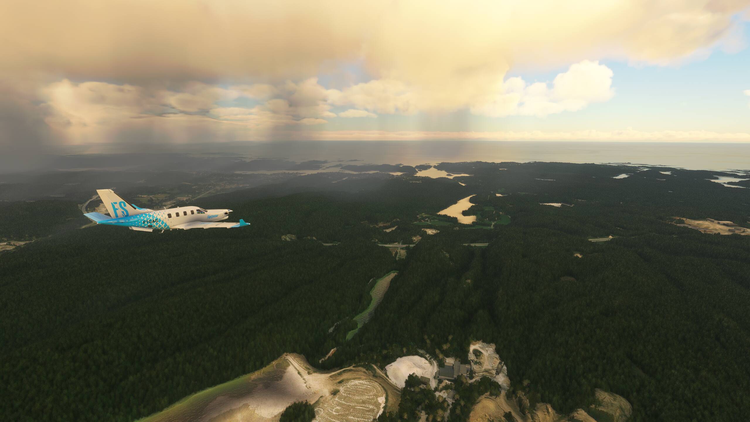
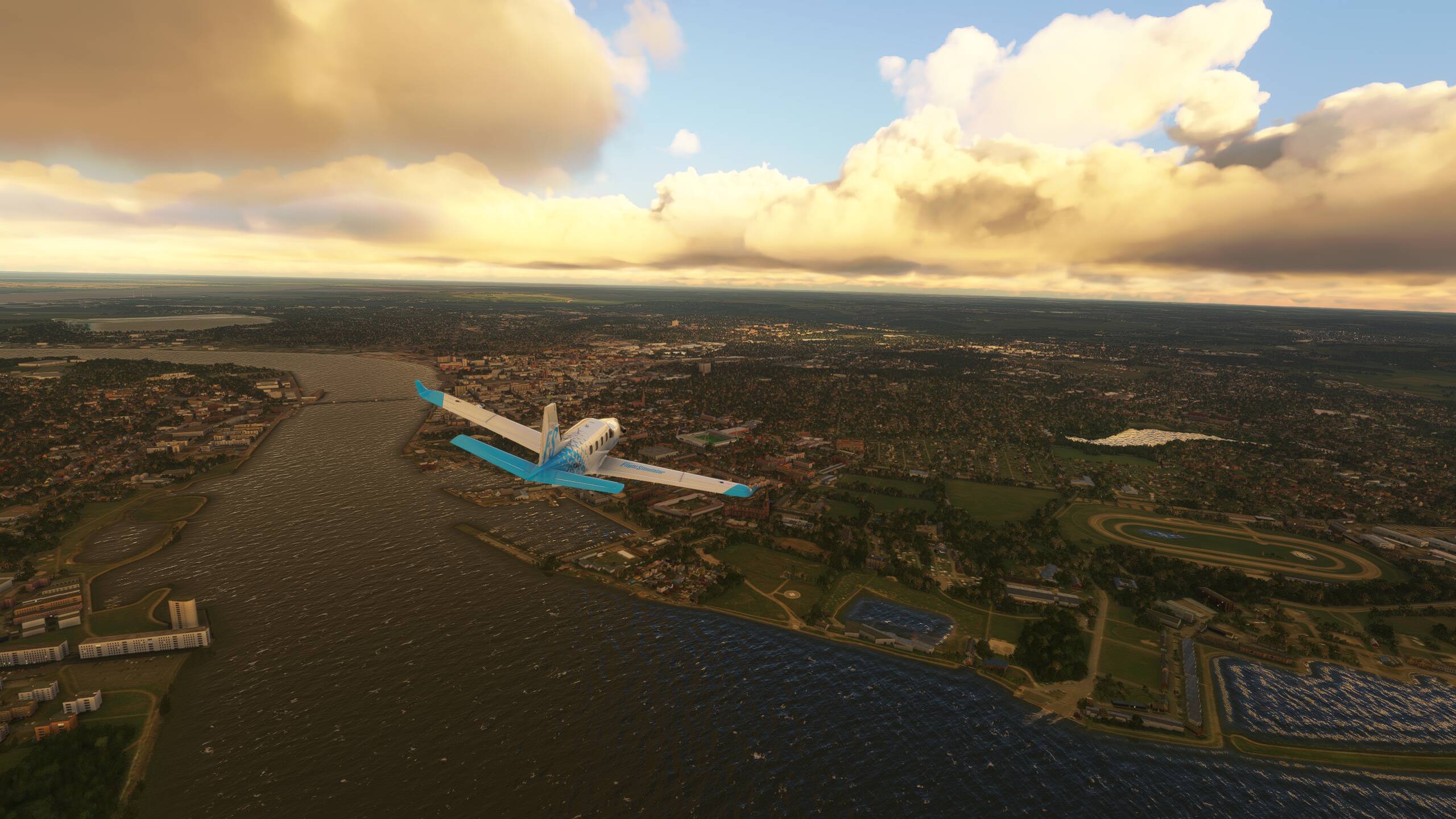
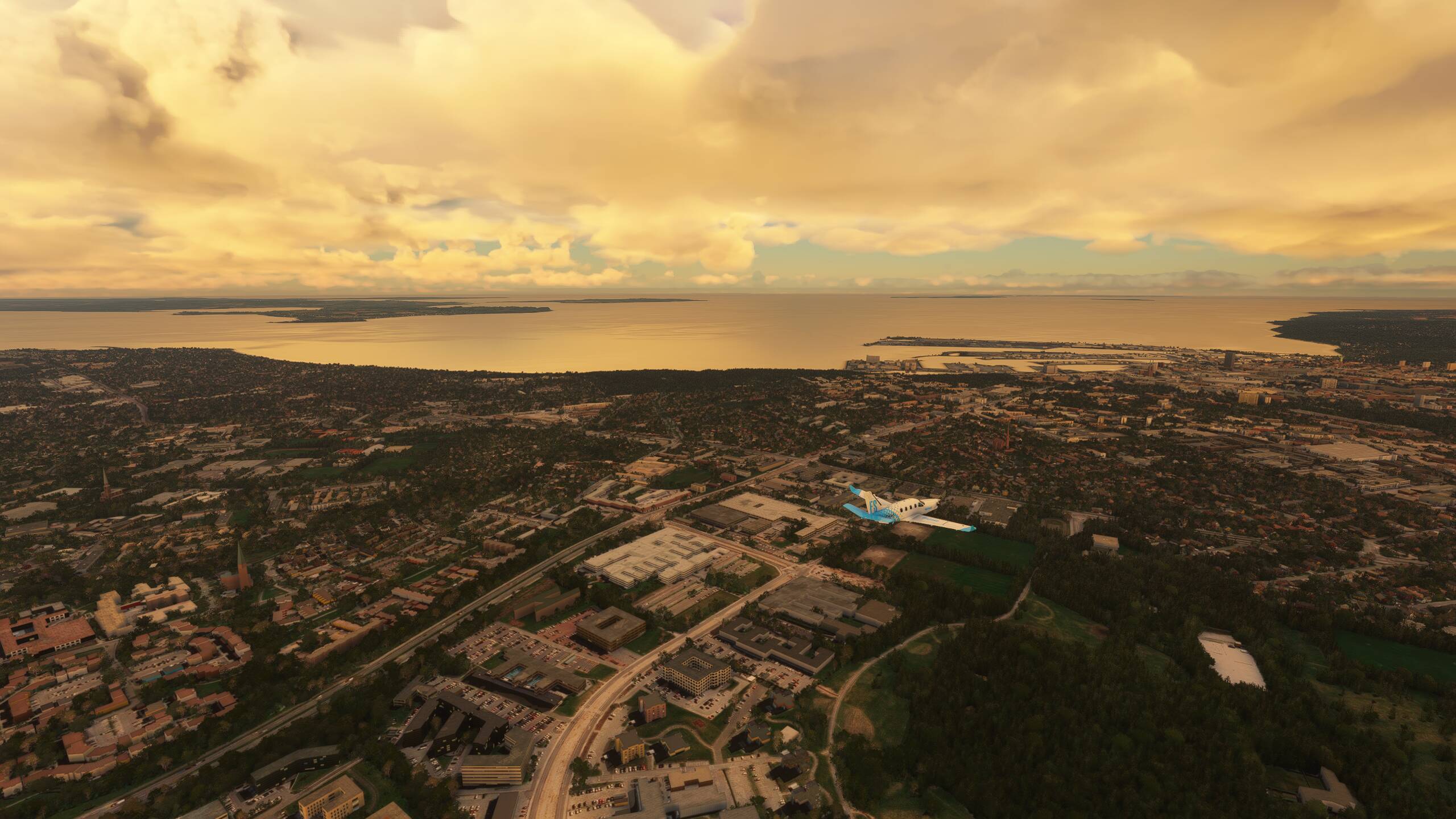
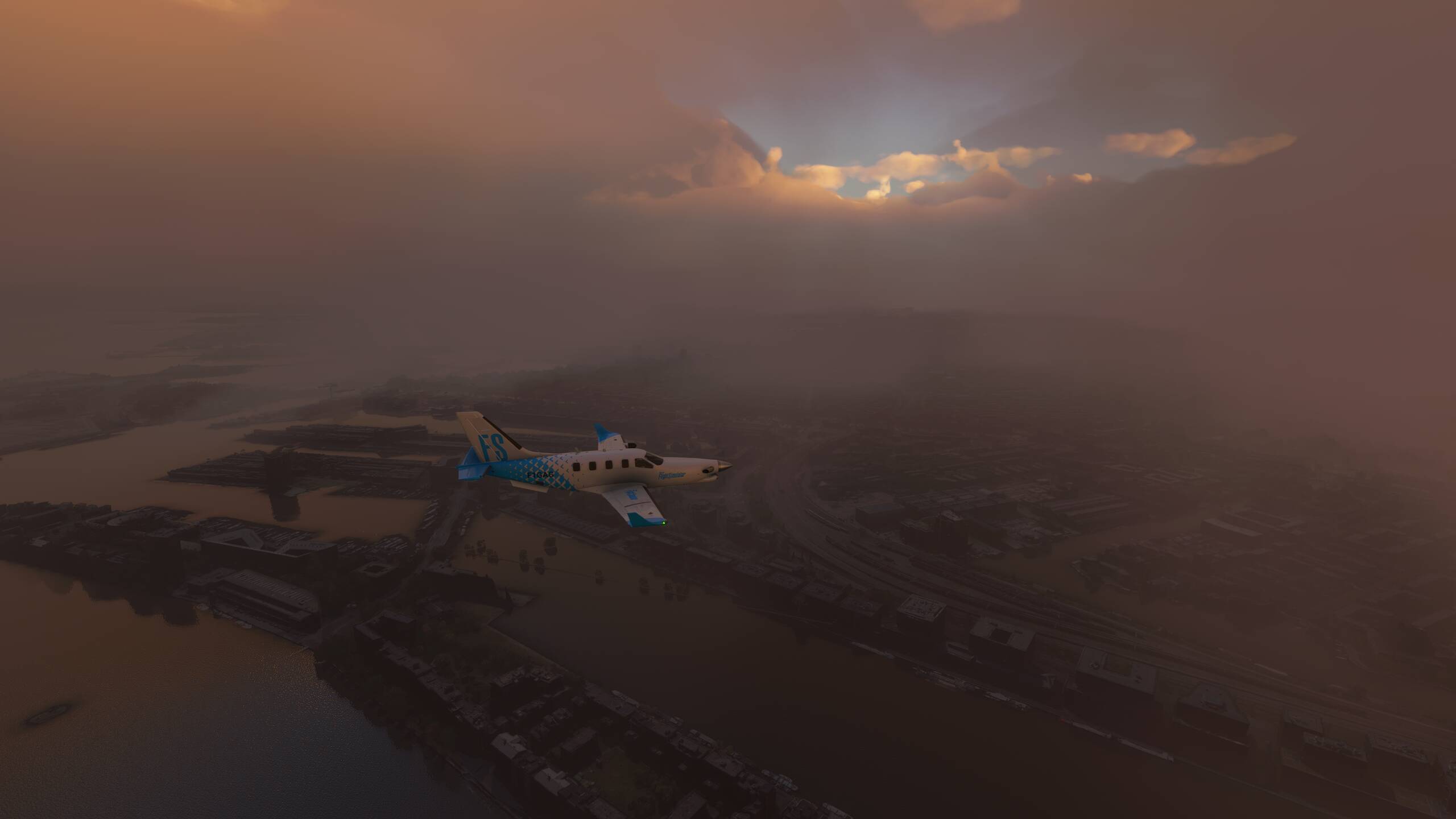
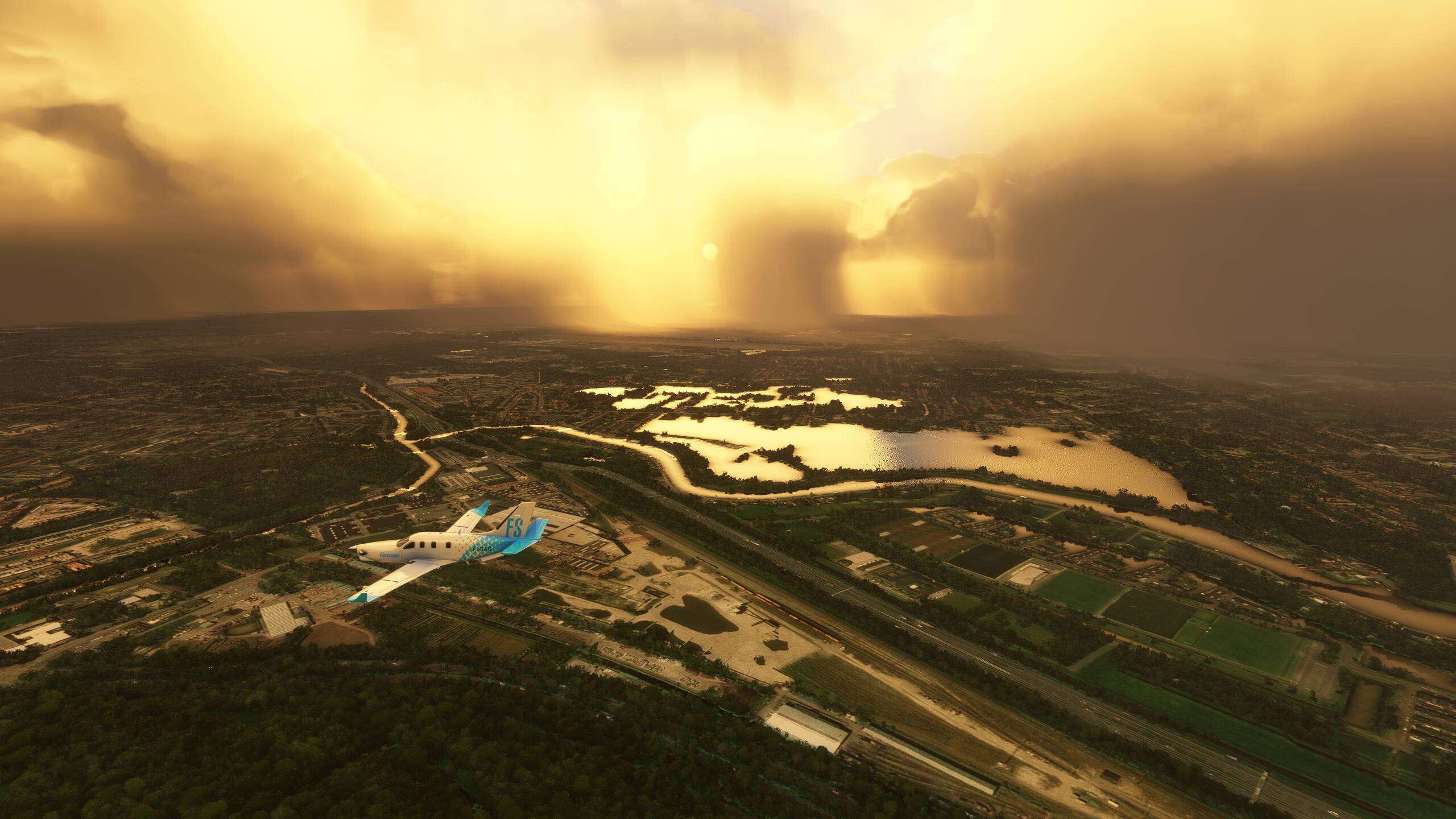
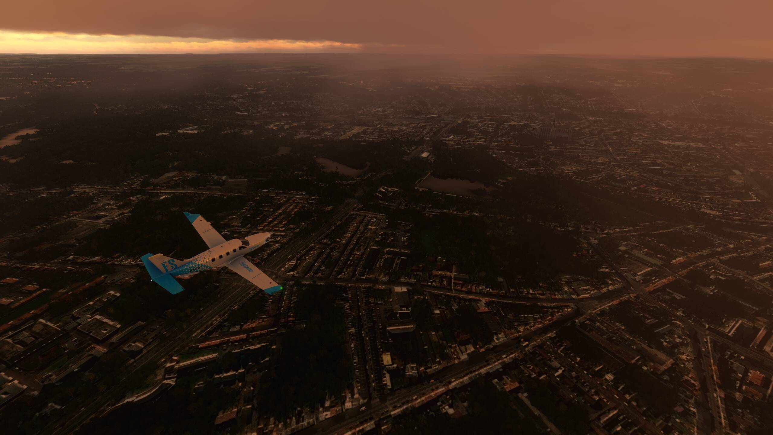
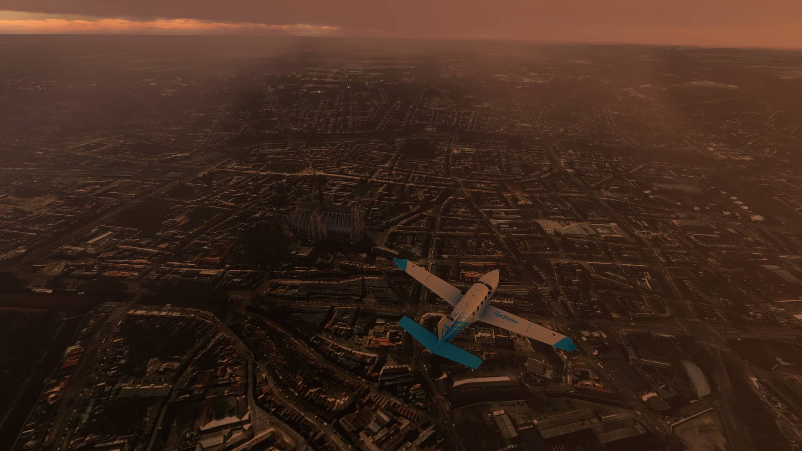
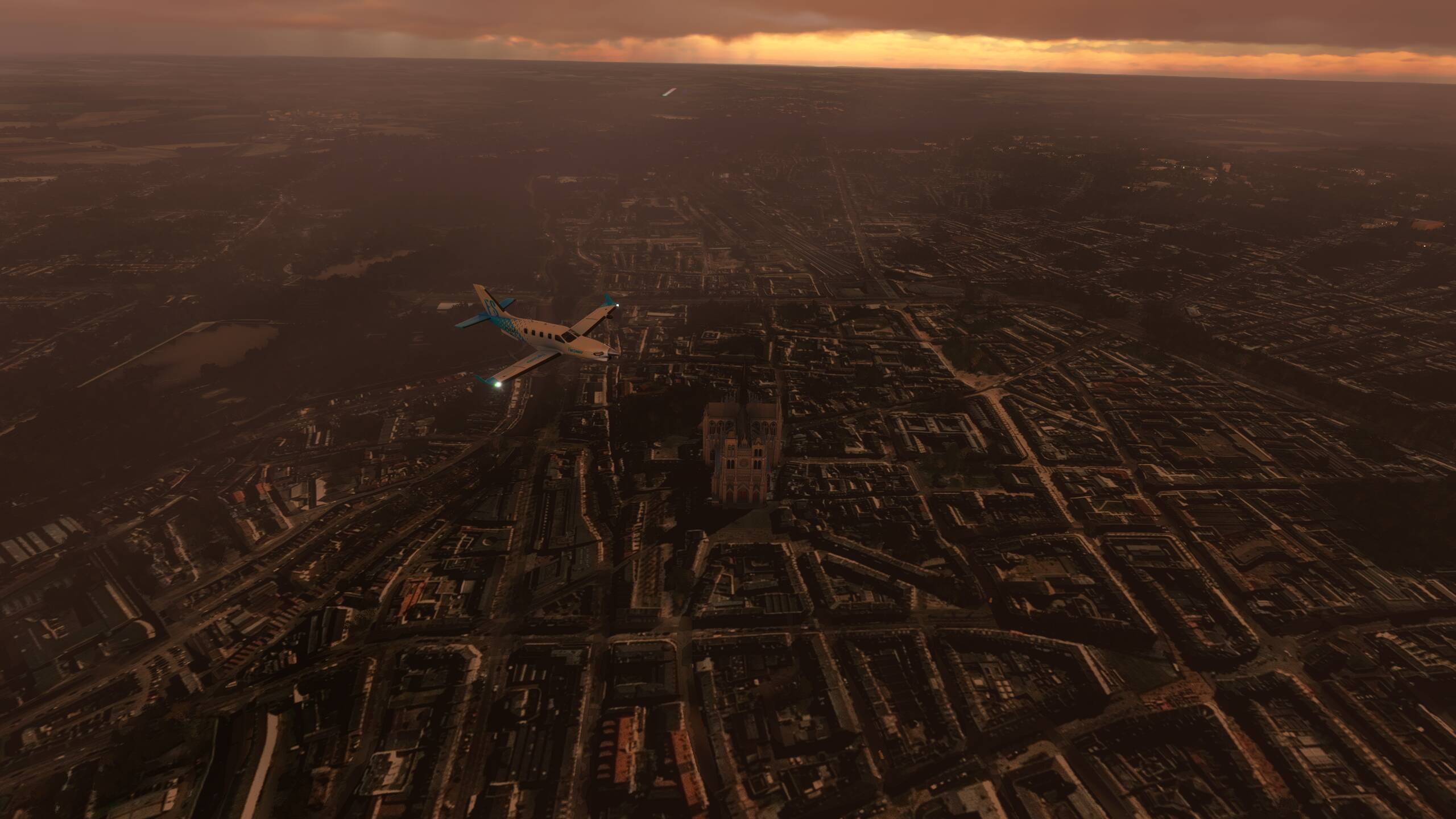
On now to Strasbourg…and unfortunately for us today, the weather is not playing ball. Not had many trips like this so far - let’s just call this one as unlucky. But, for the record, here is Strasbourg
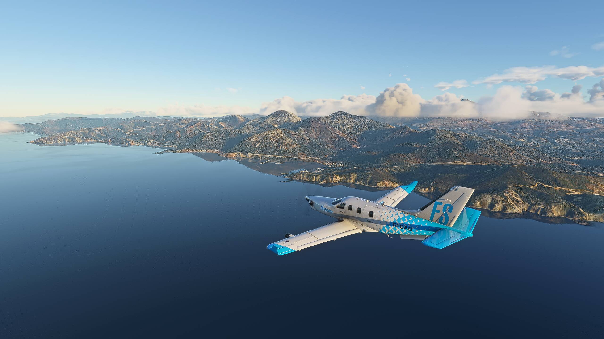
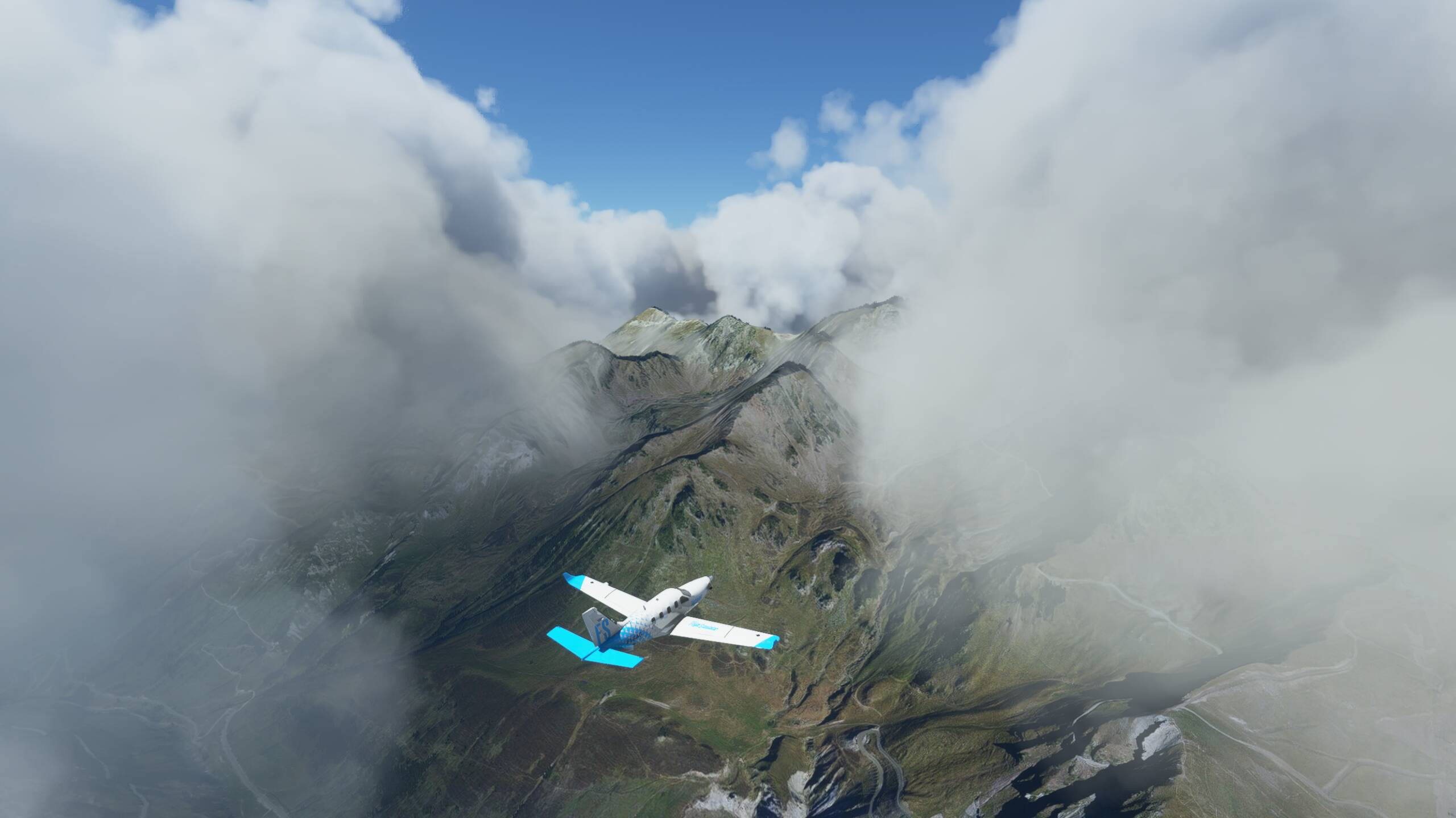
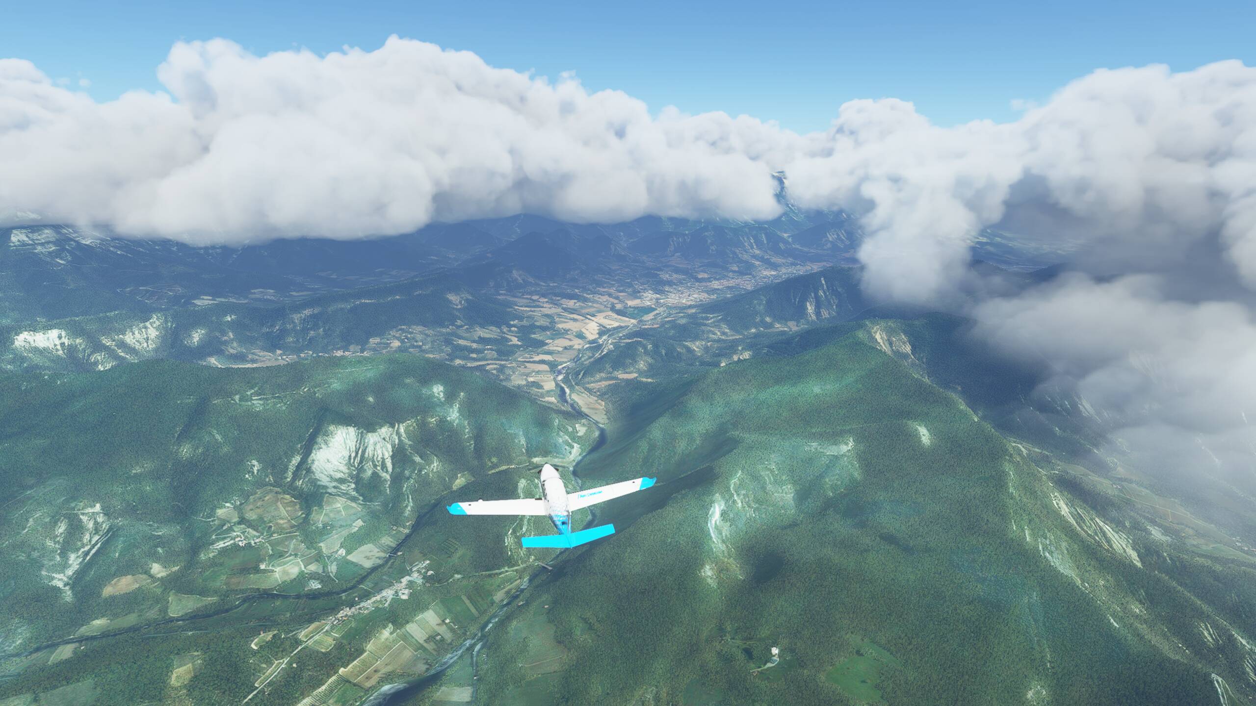
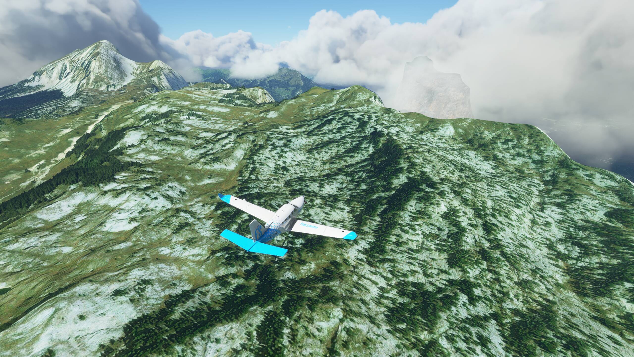
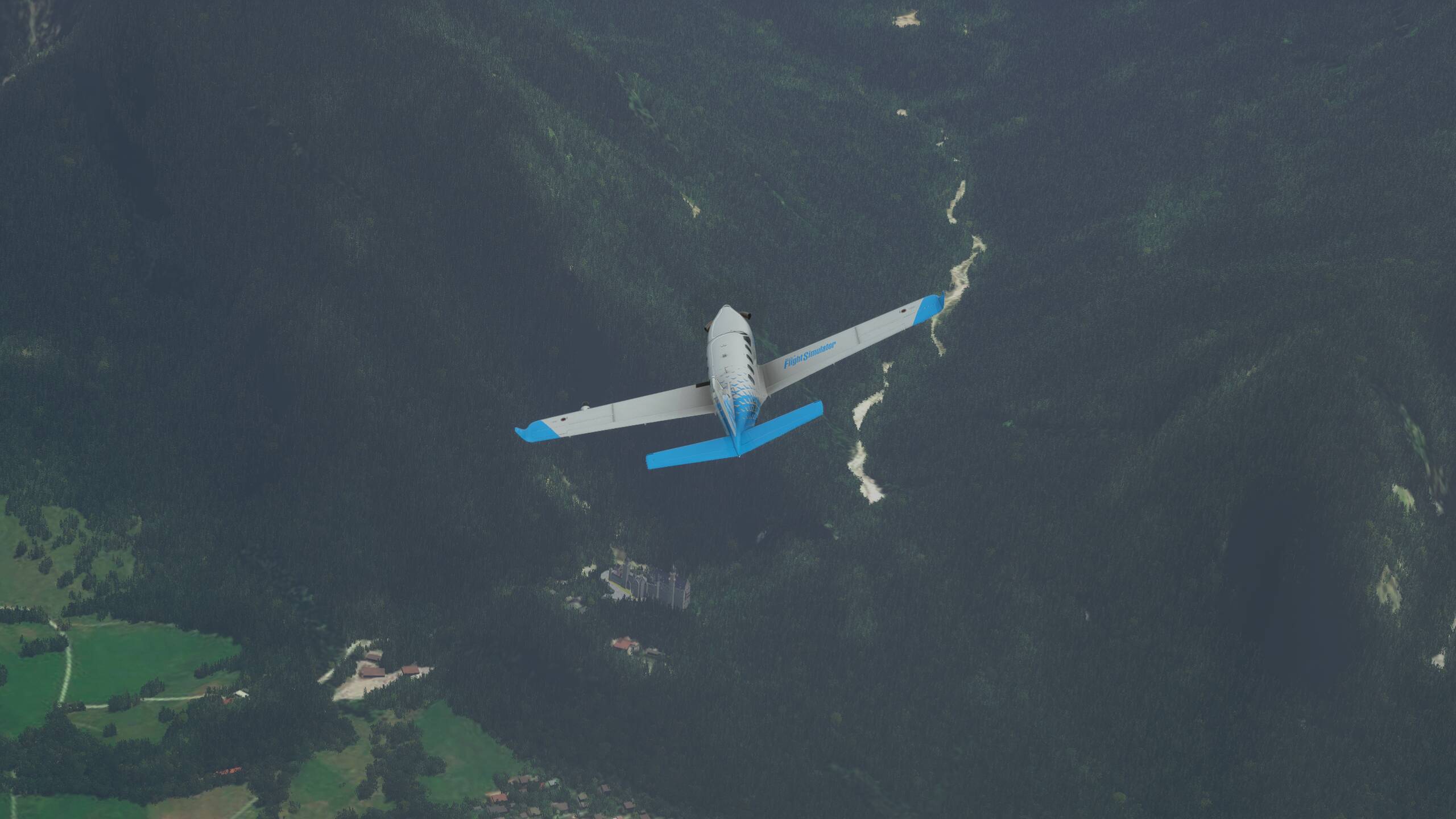
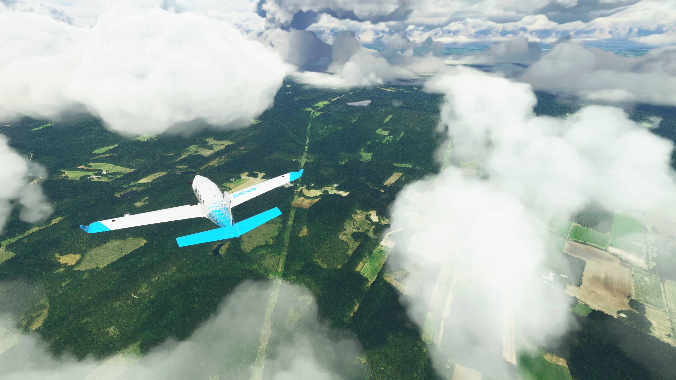
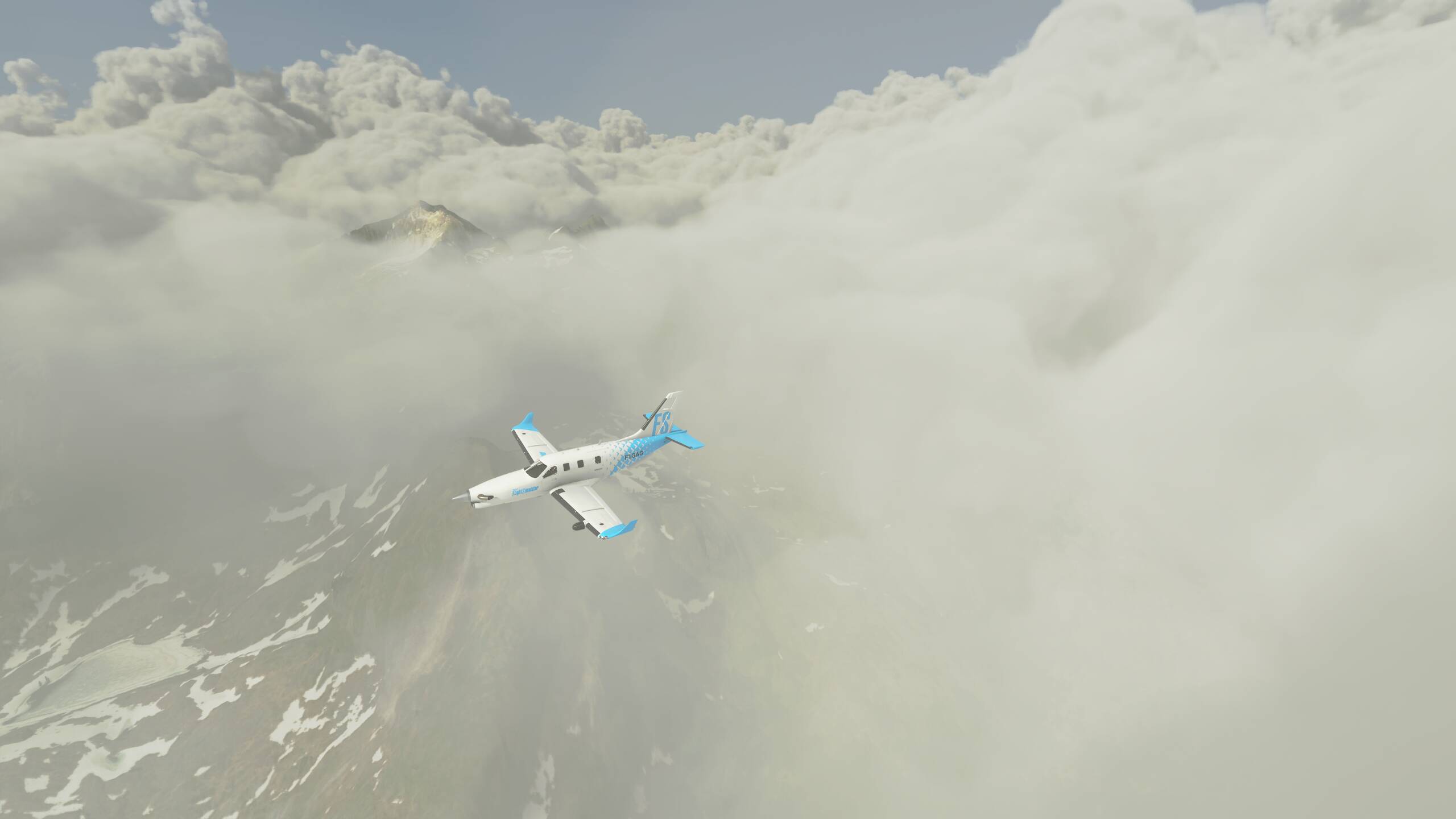
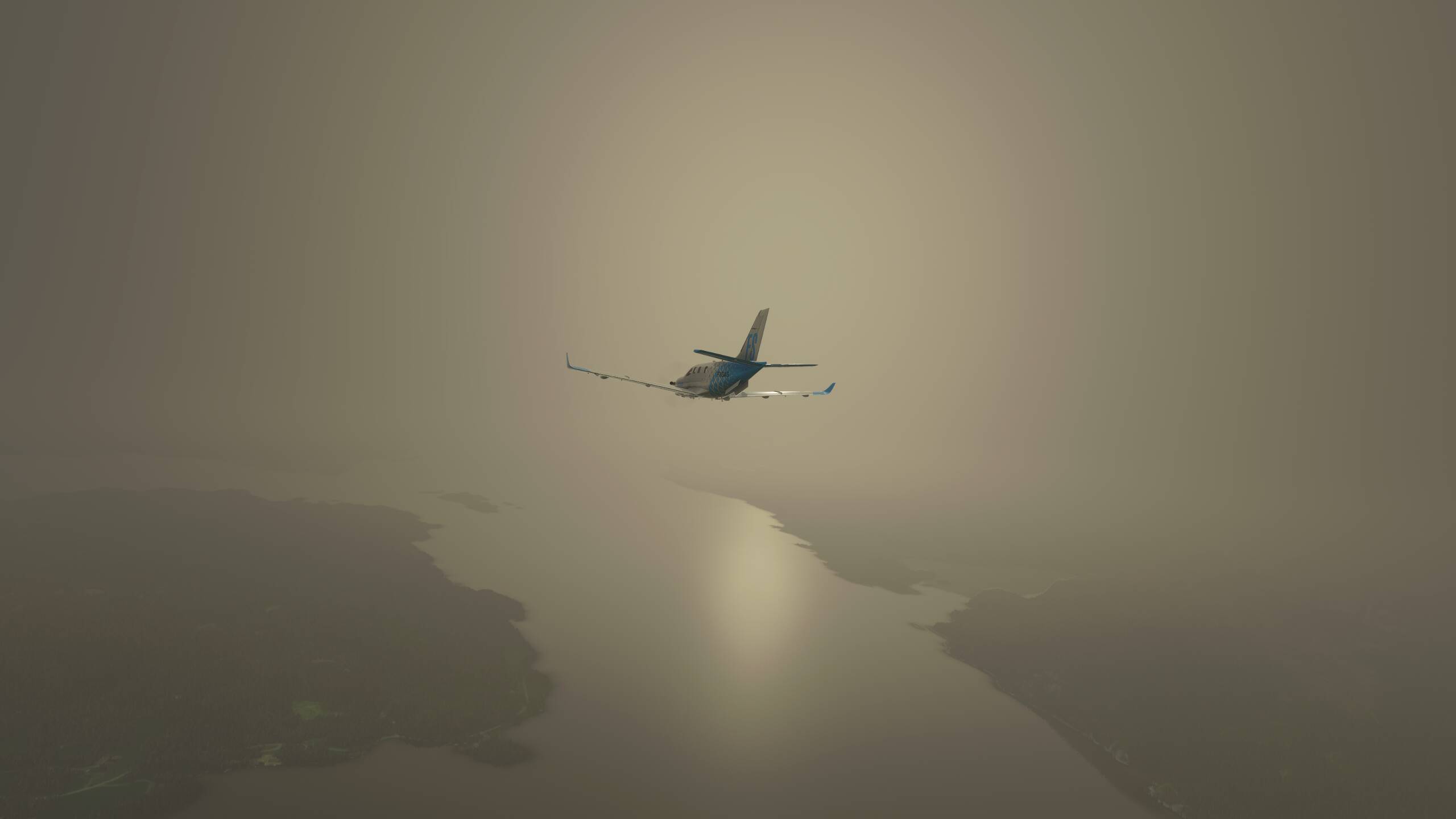
Neuschwanstein Castle is next up, and really hoping the clouds clear a bit before we get there. Maybe we’ll get lucky…or maybe not
There’s the castle, at the foot of the mountains
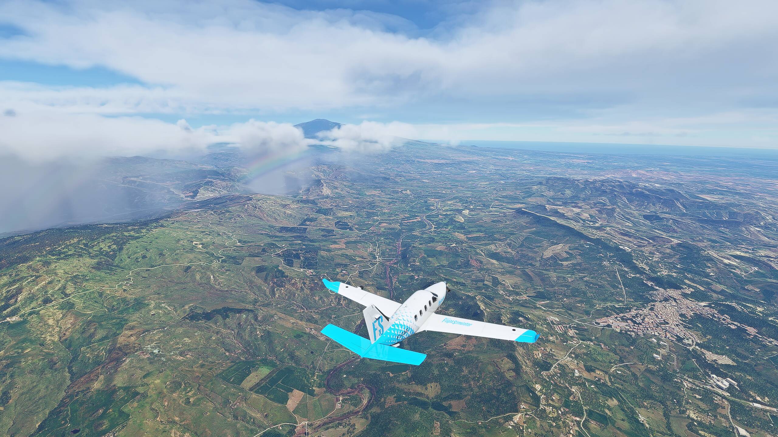
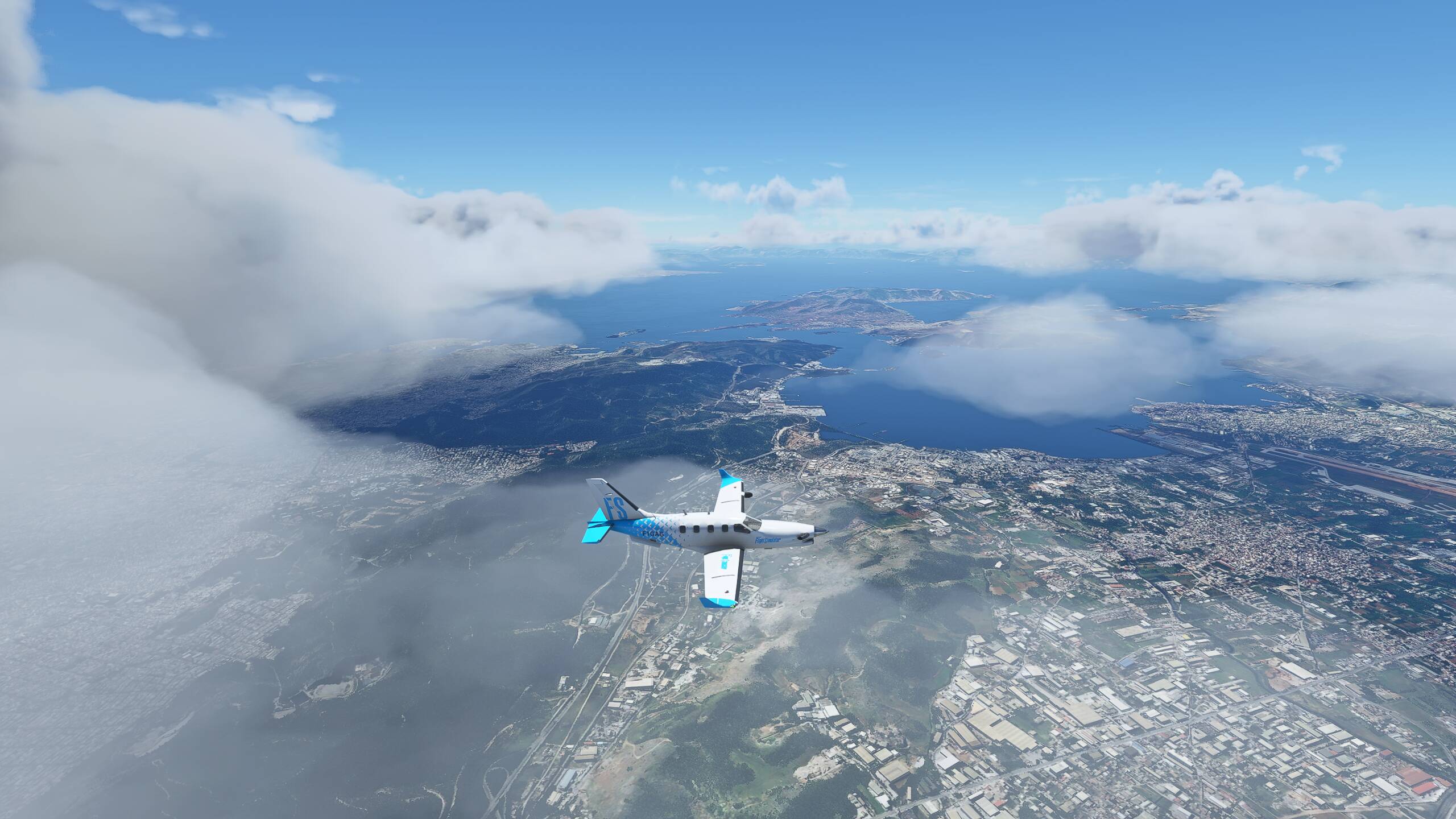
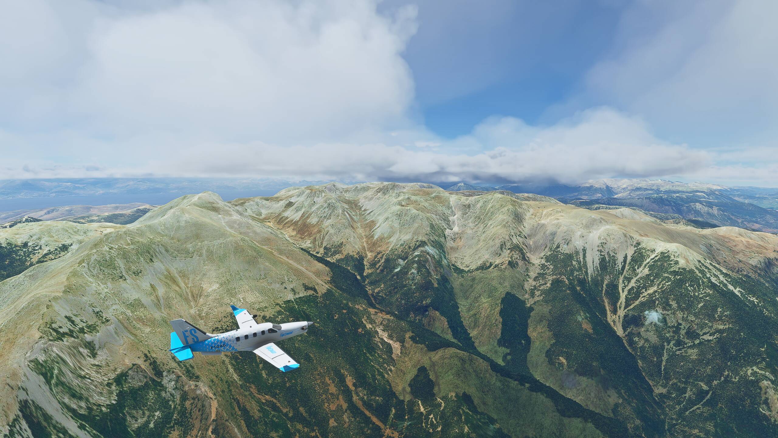
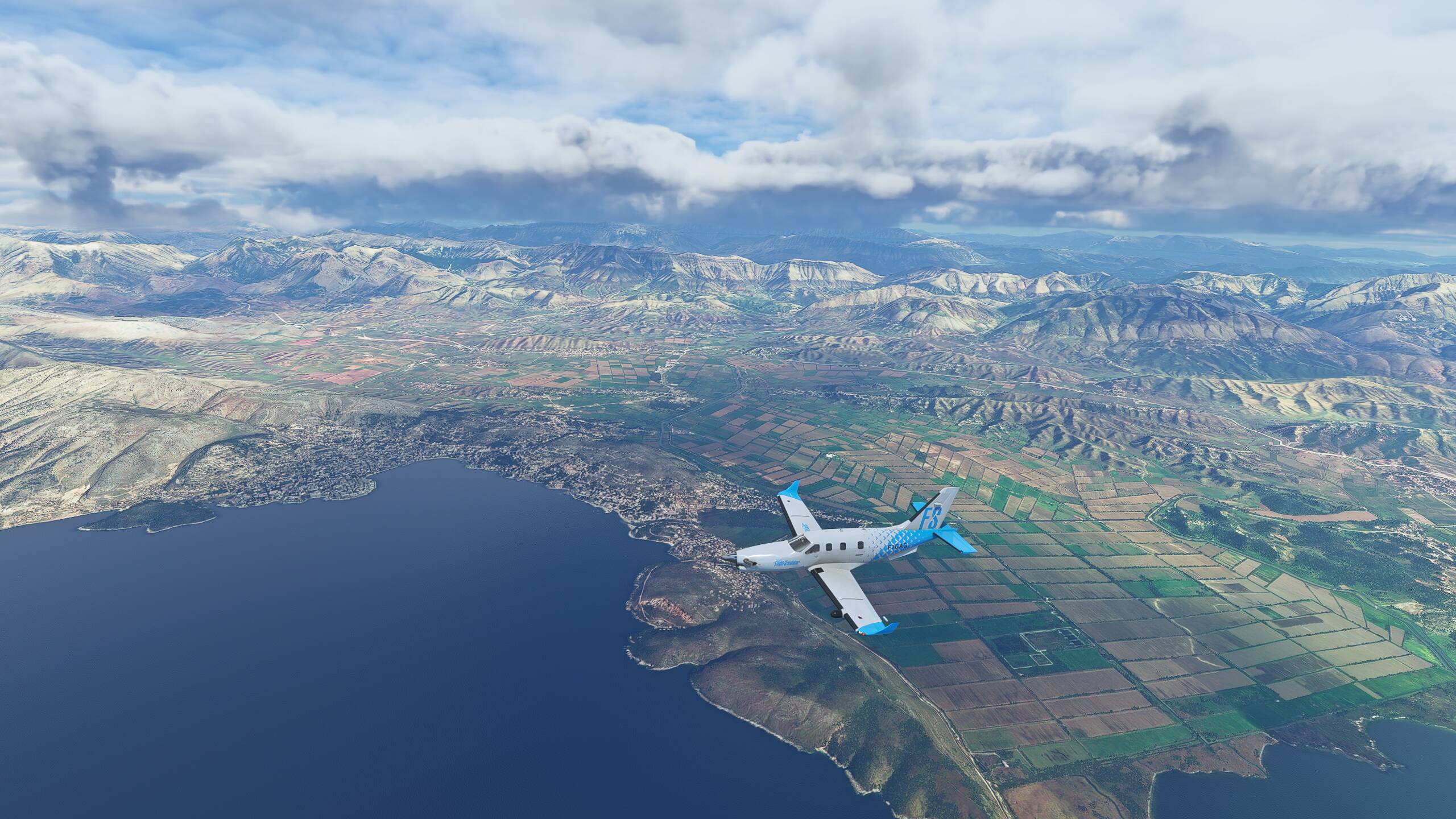
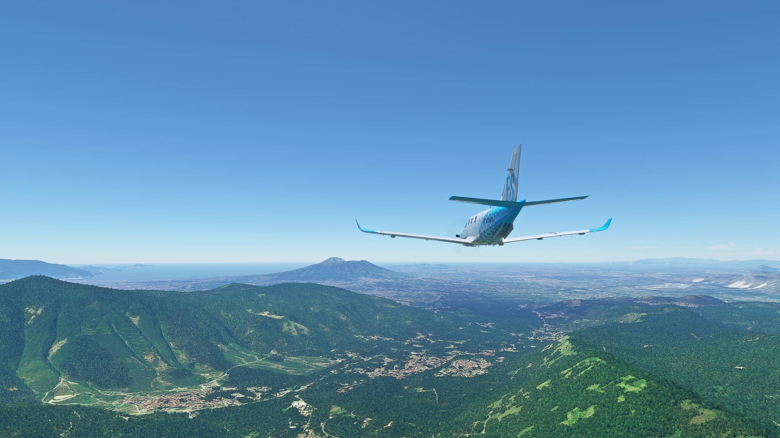
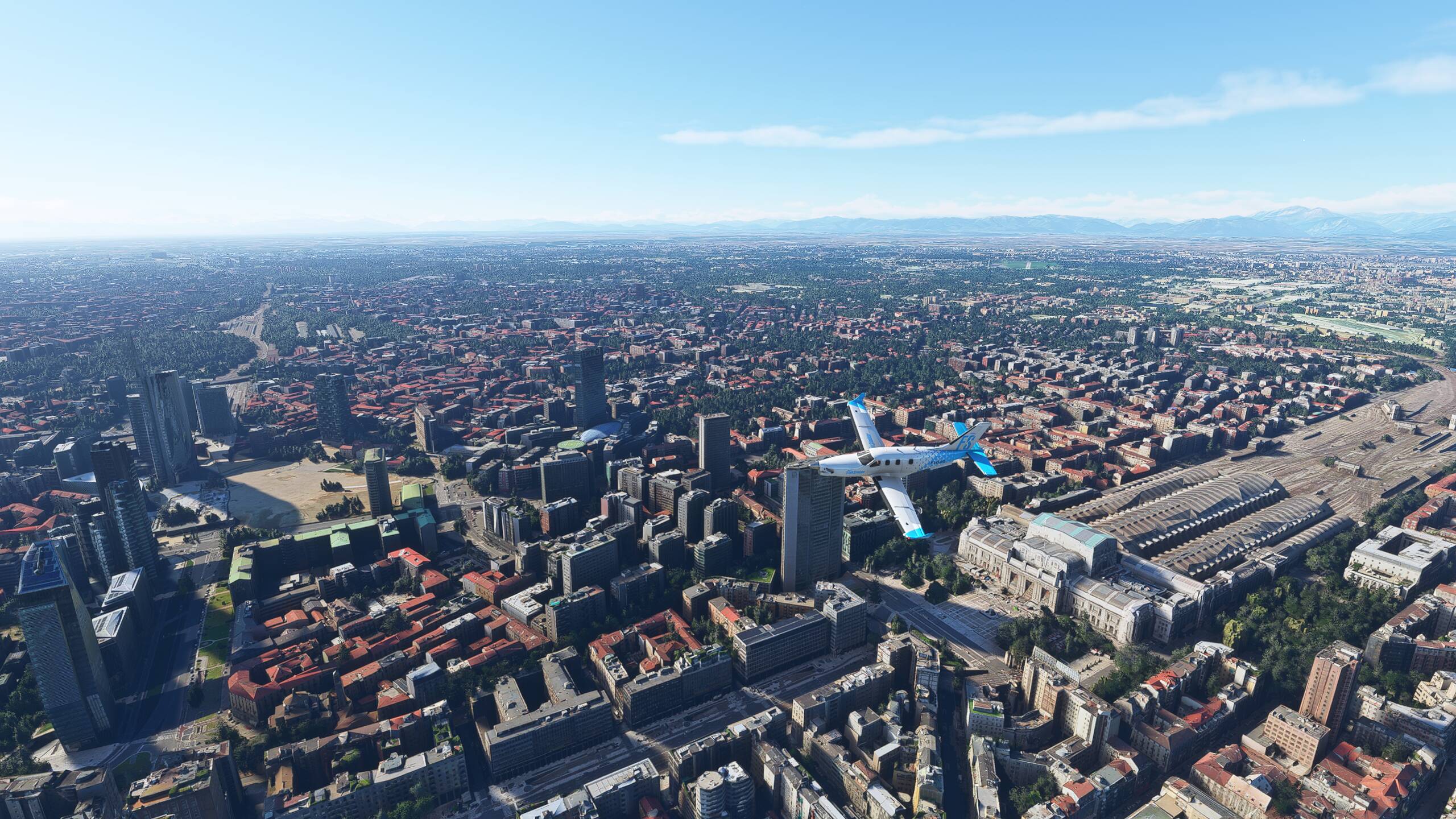
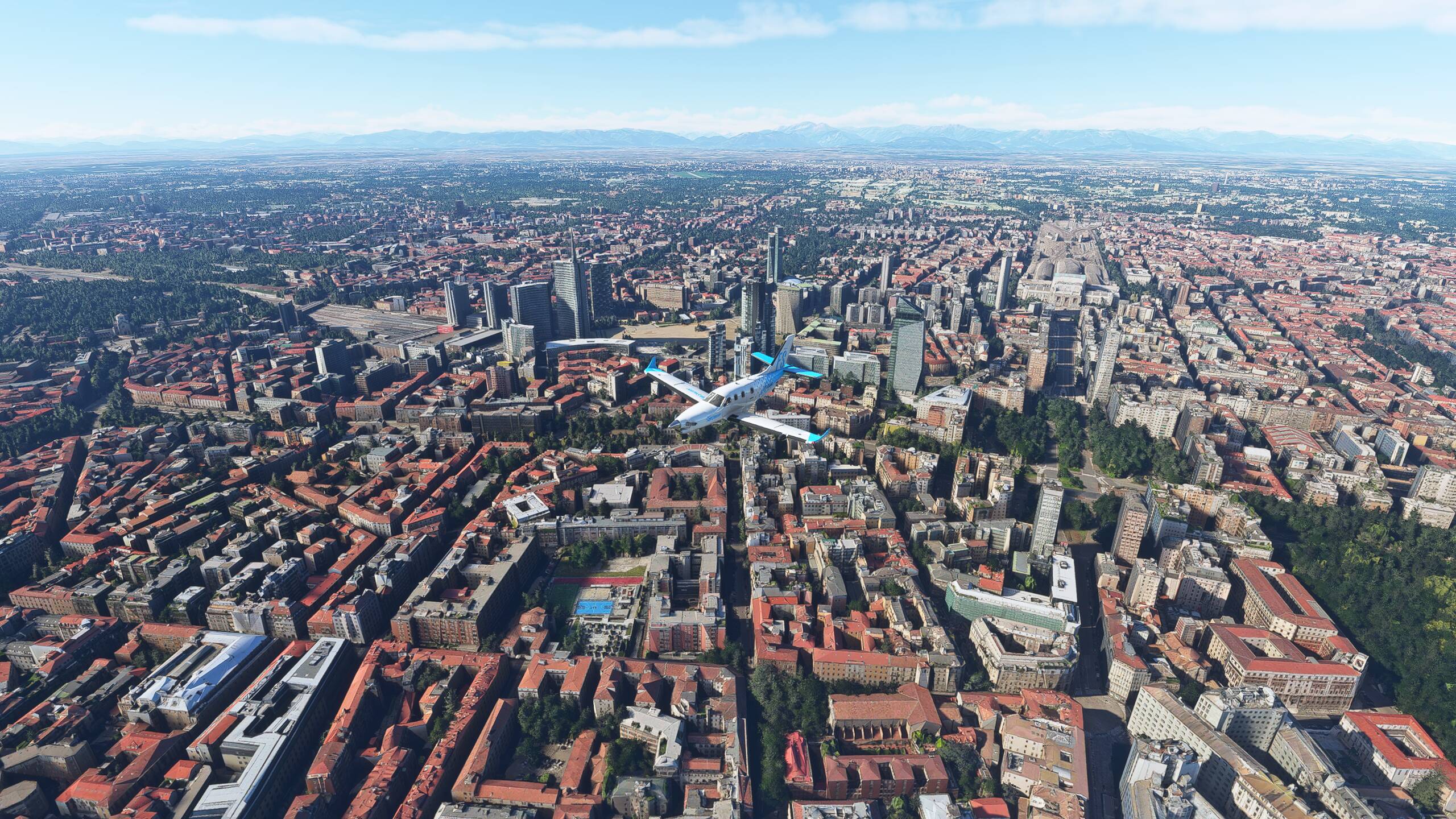
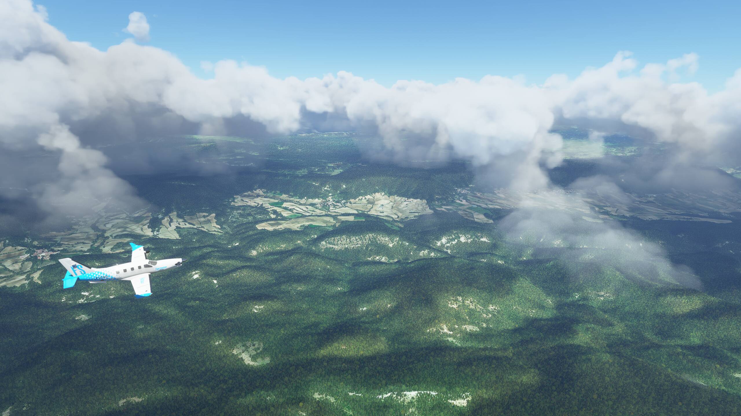
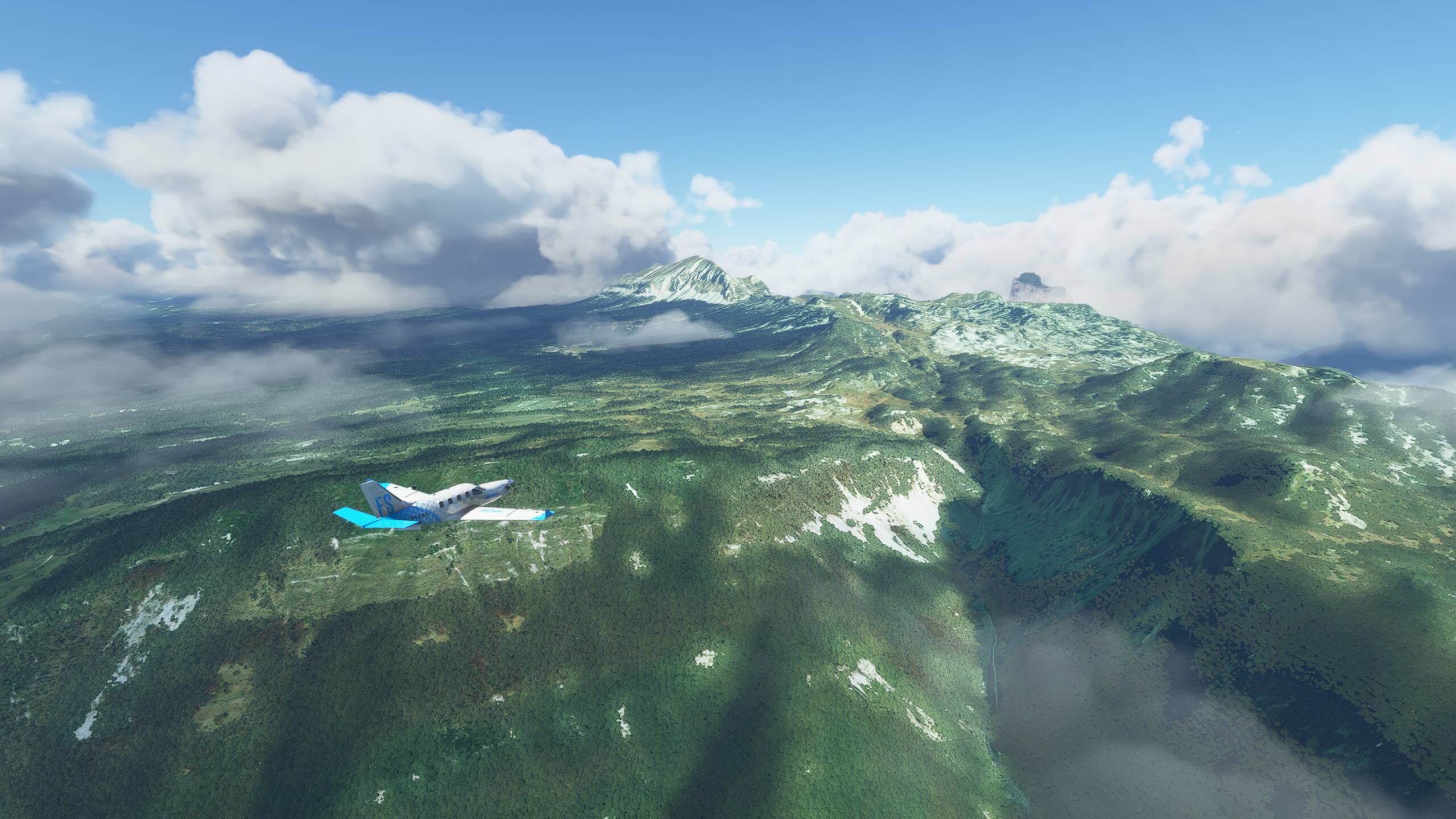
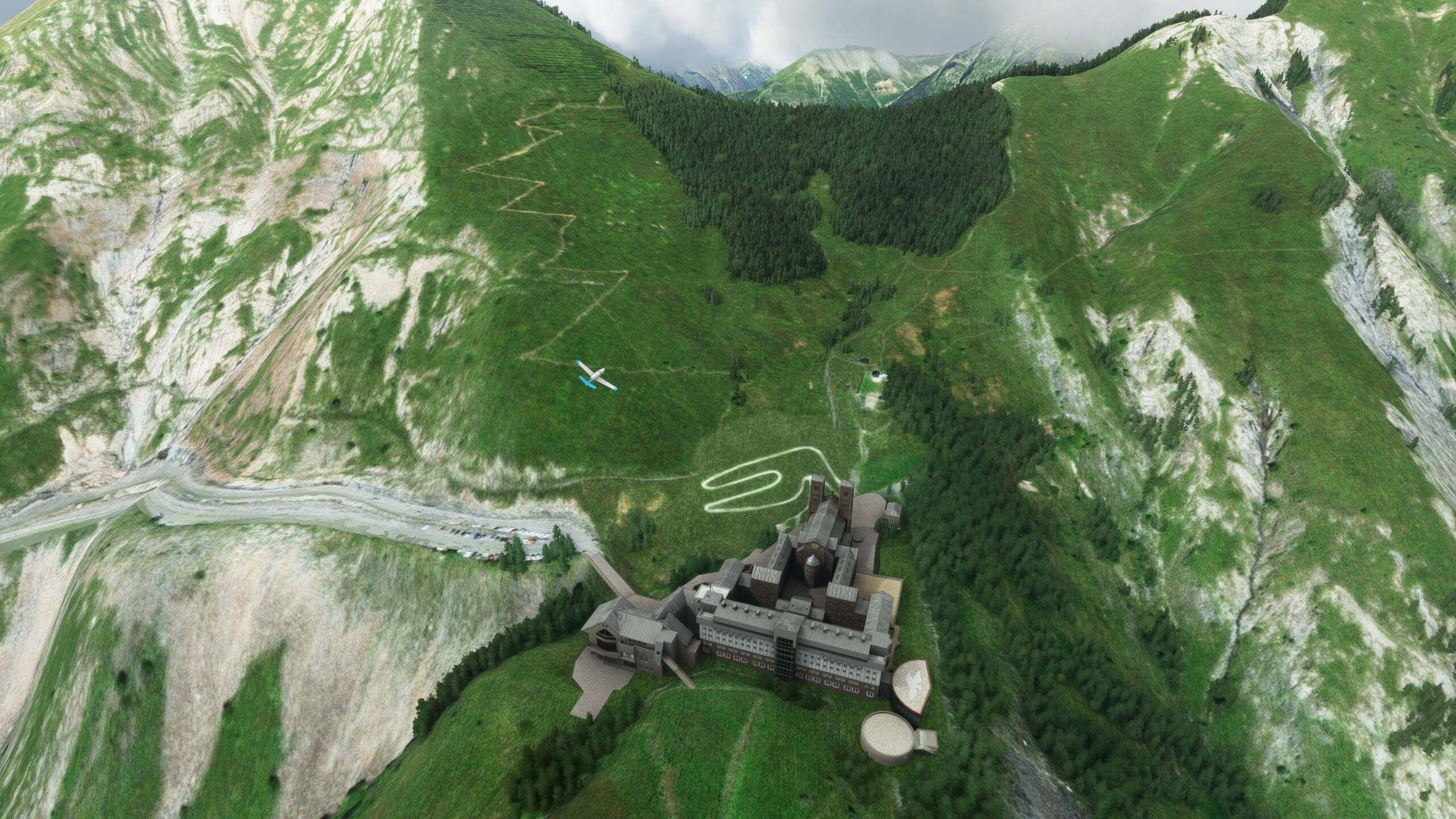
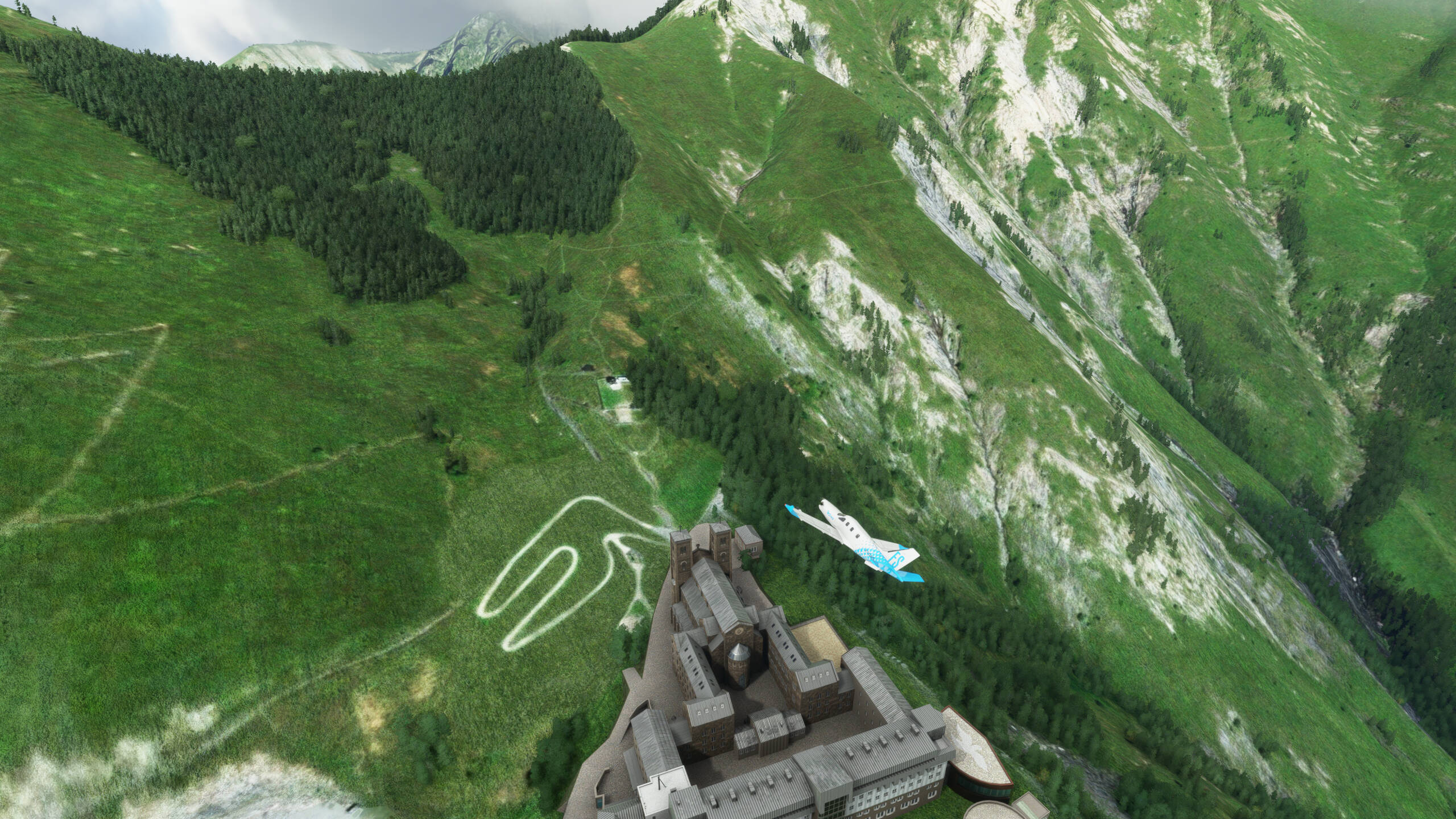
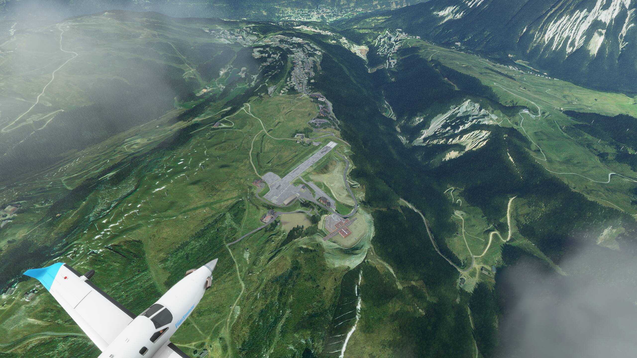
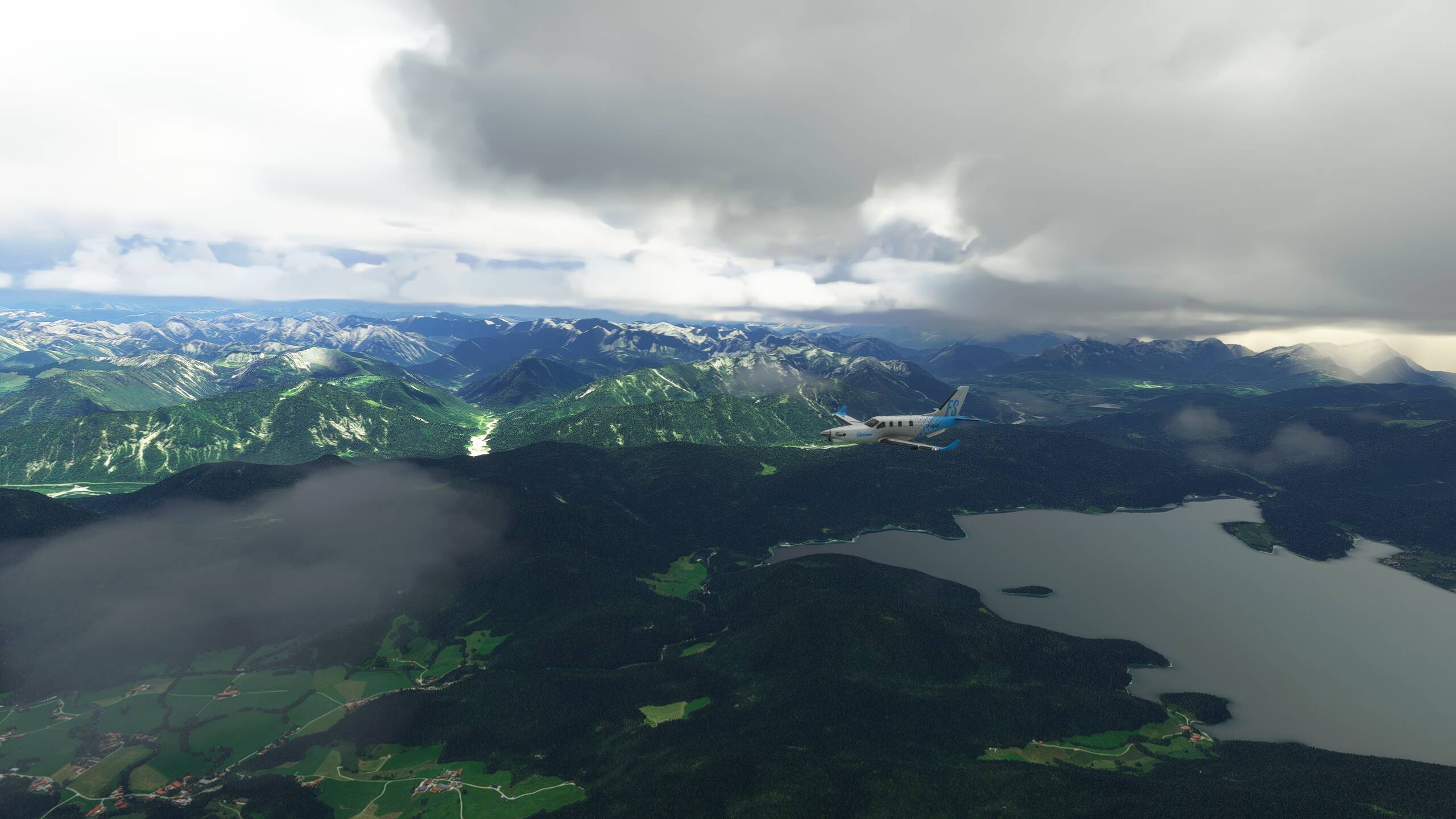
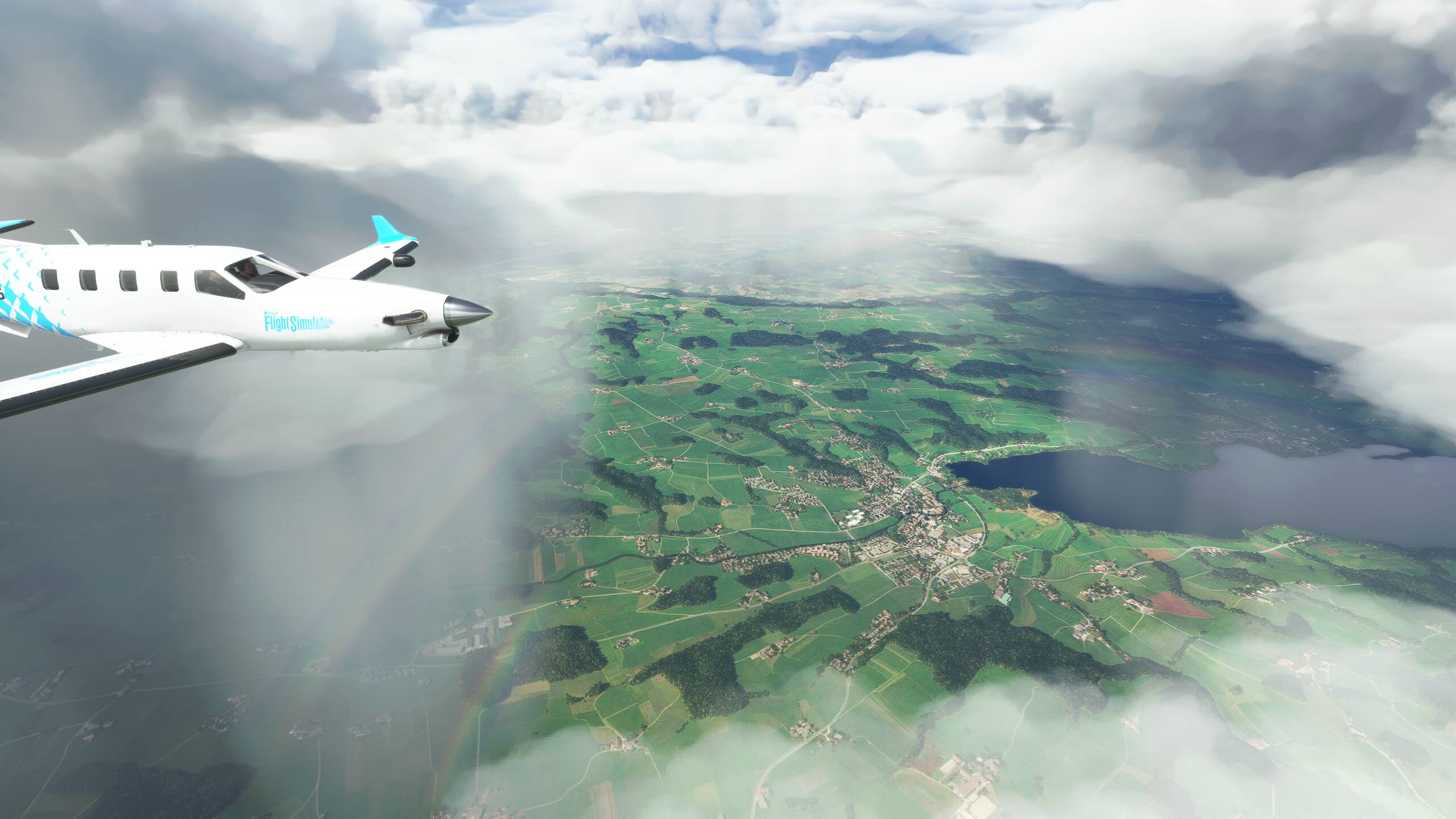
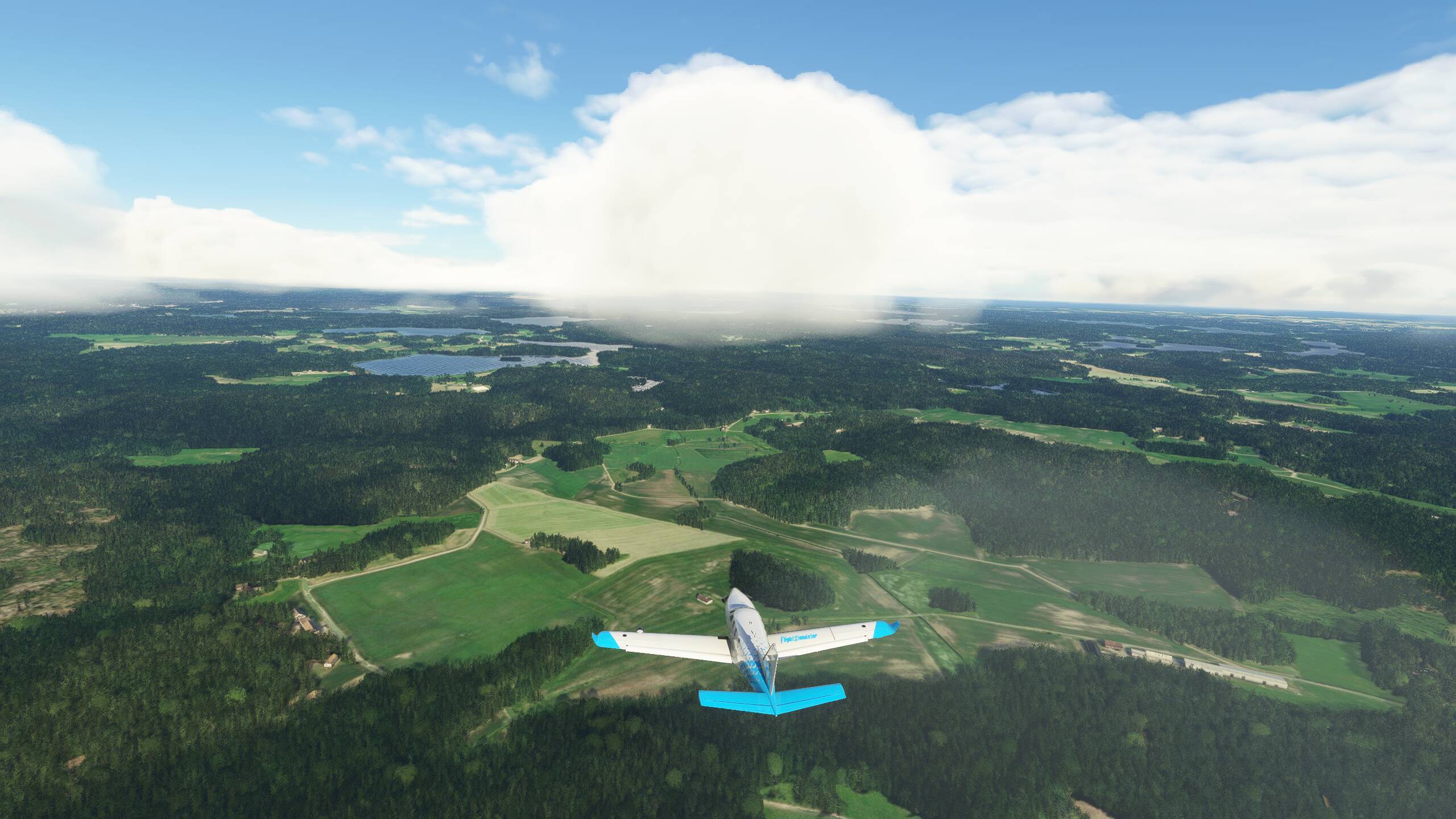
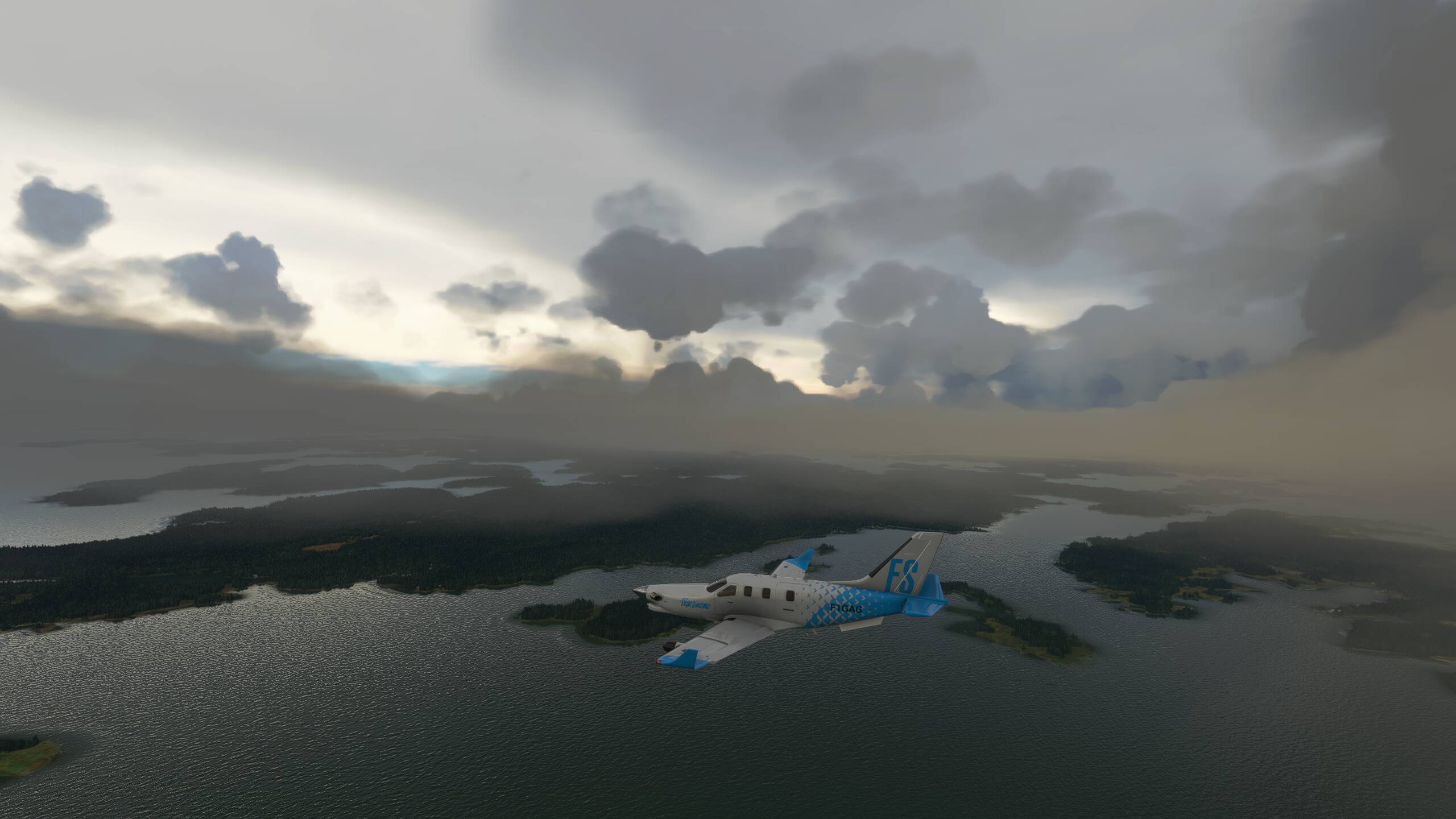
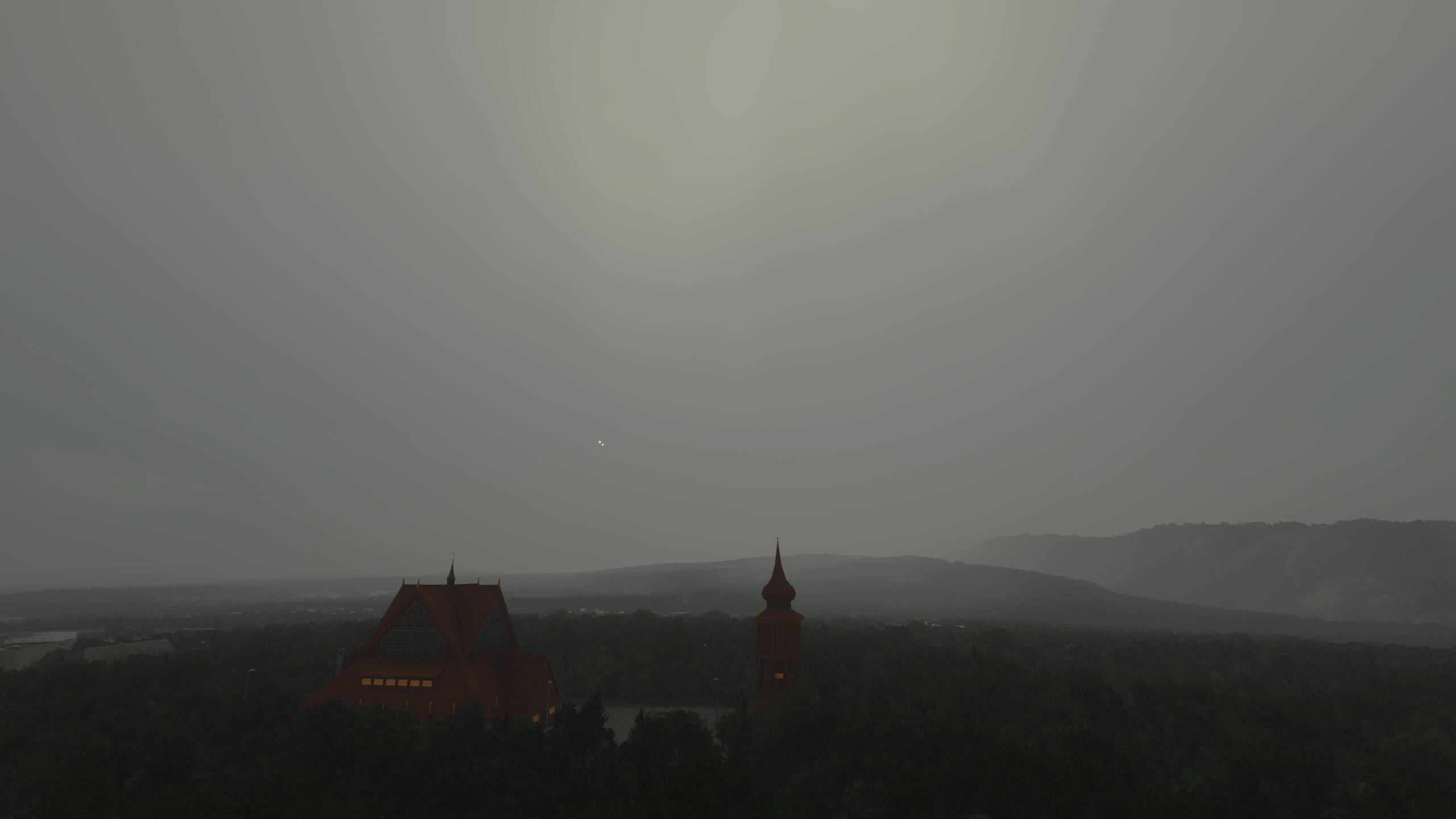
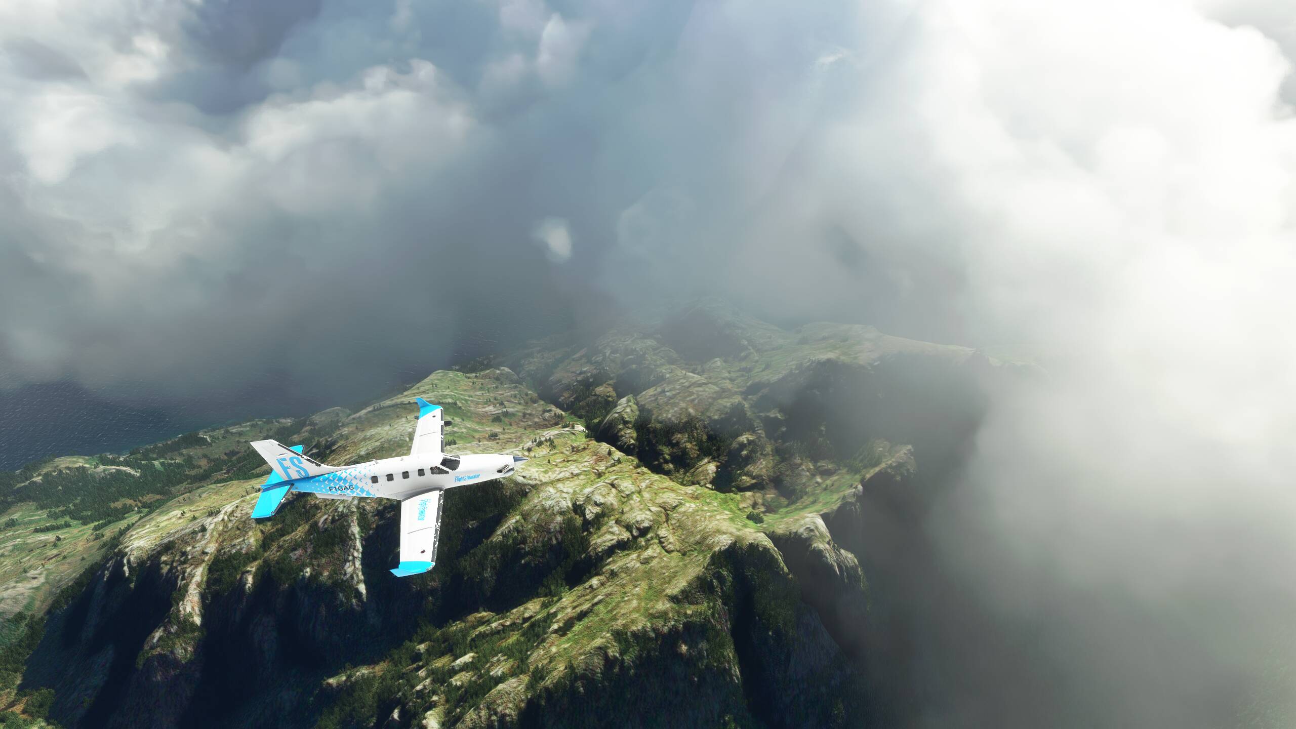
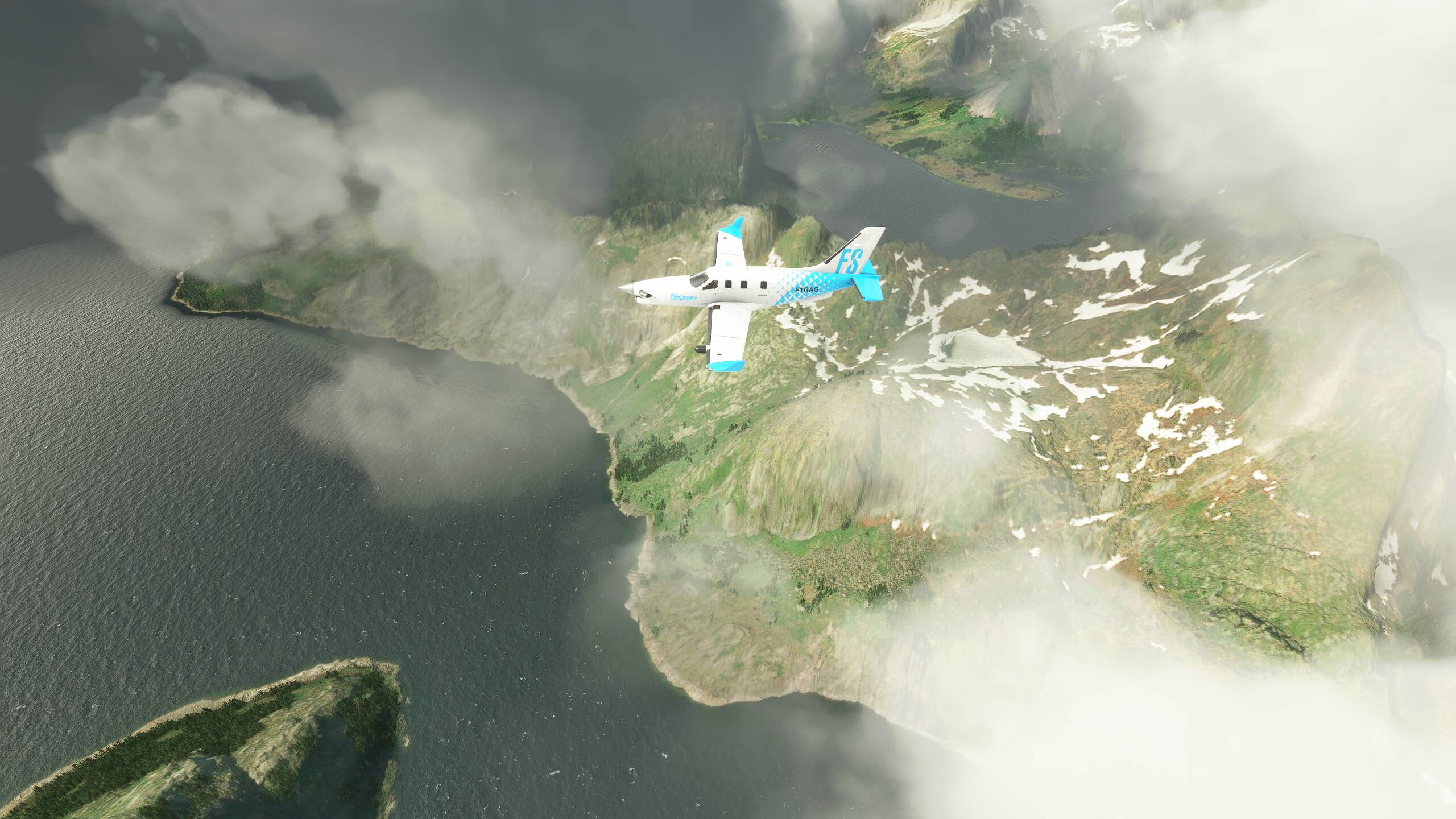
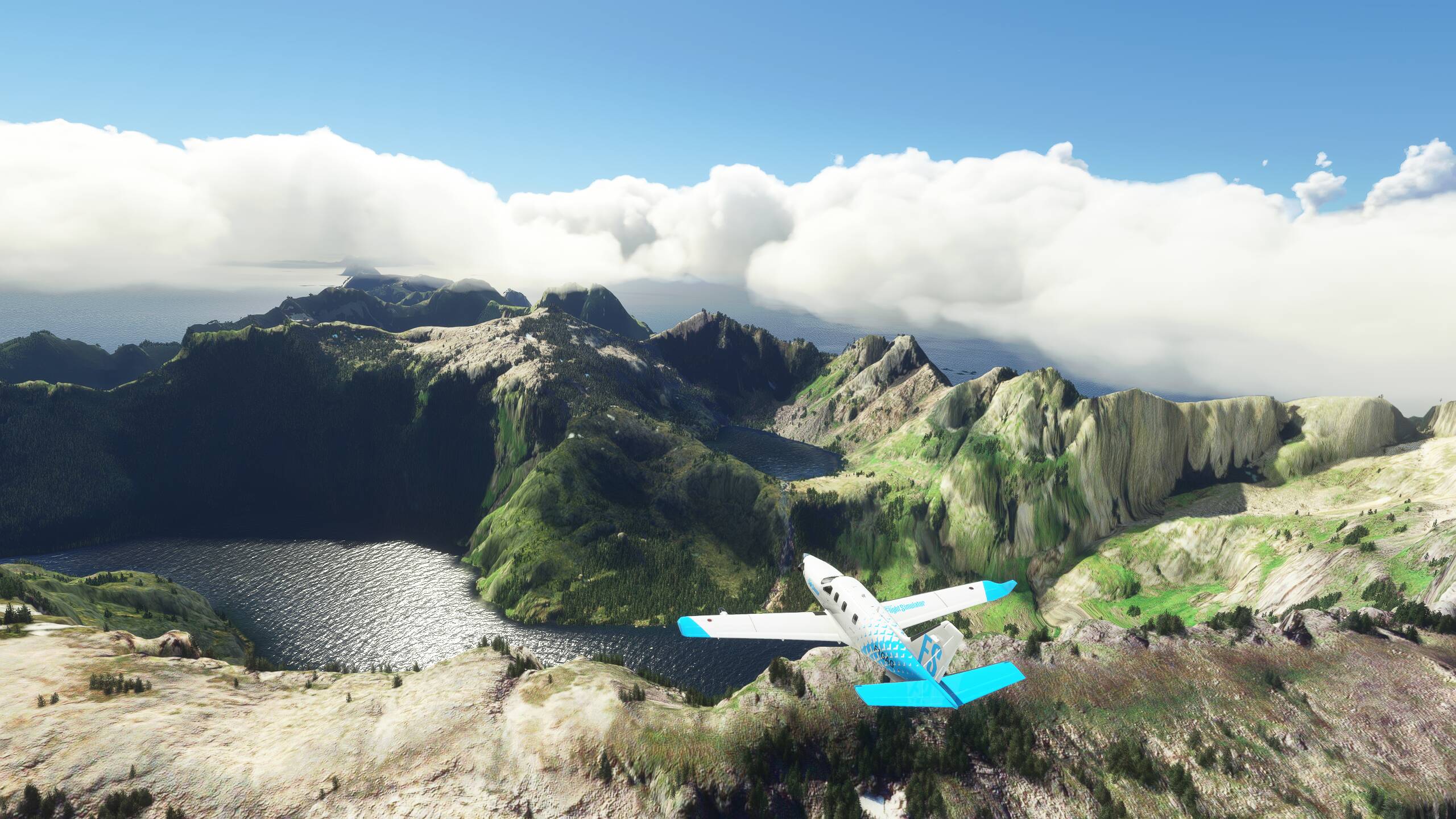
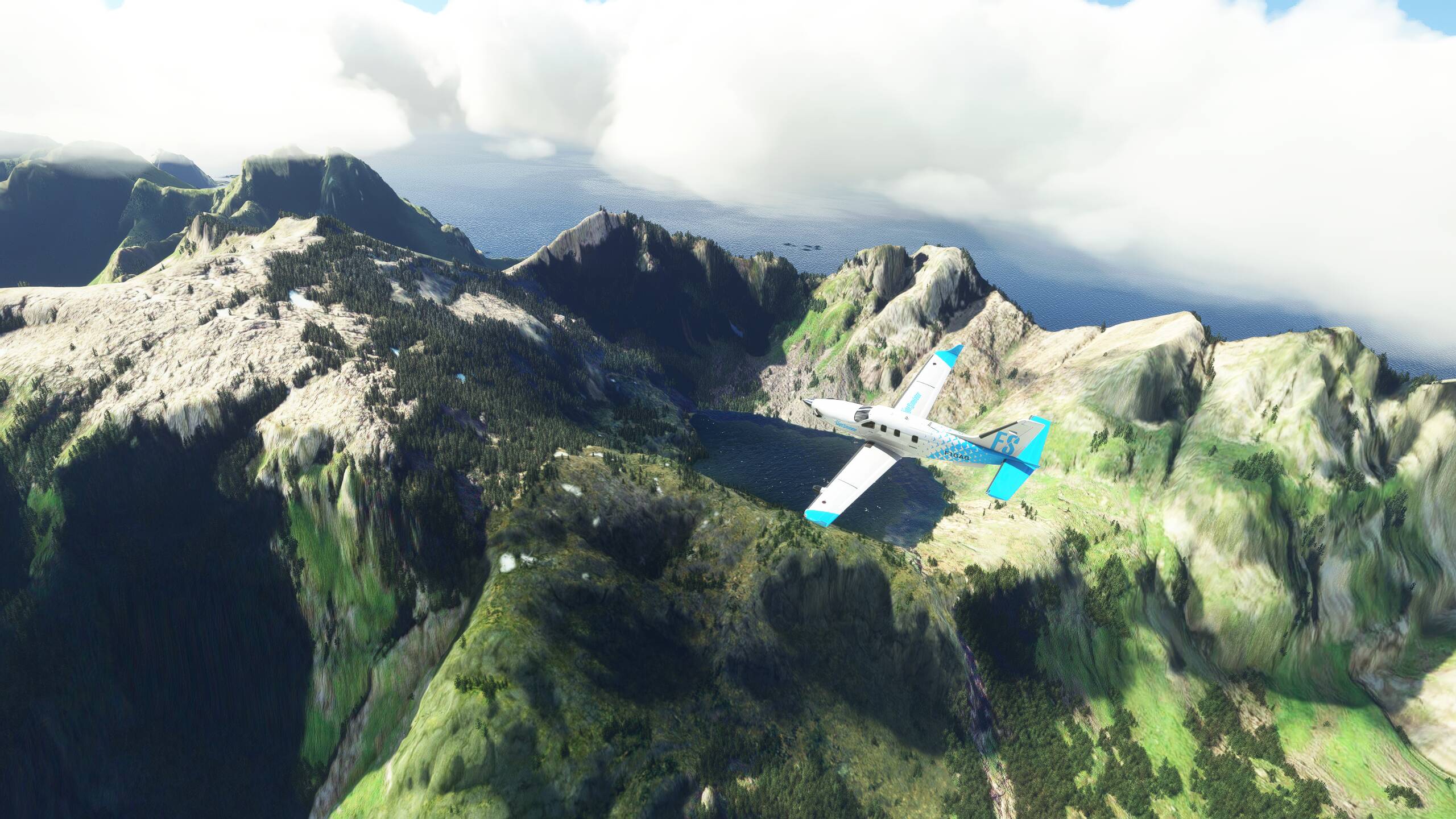
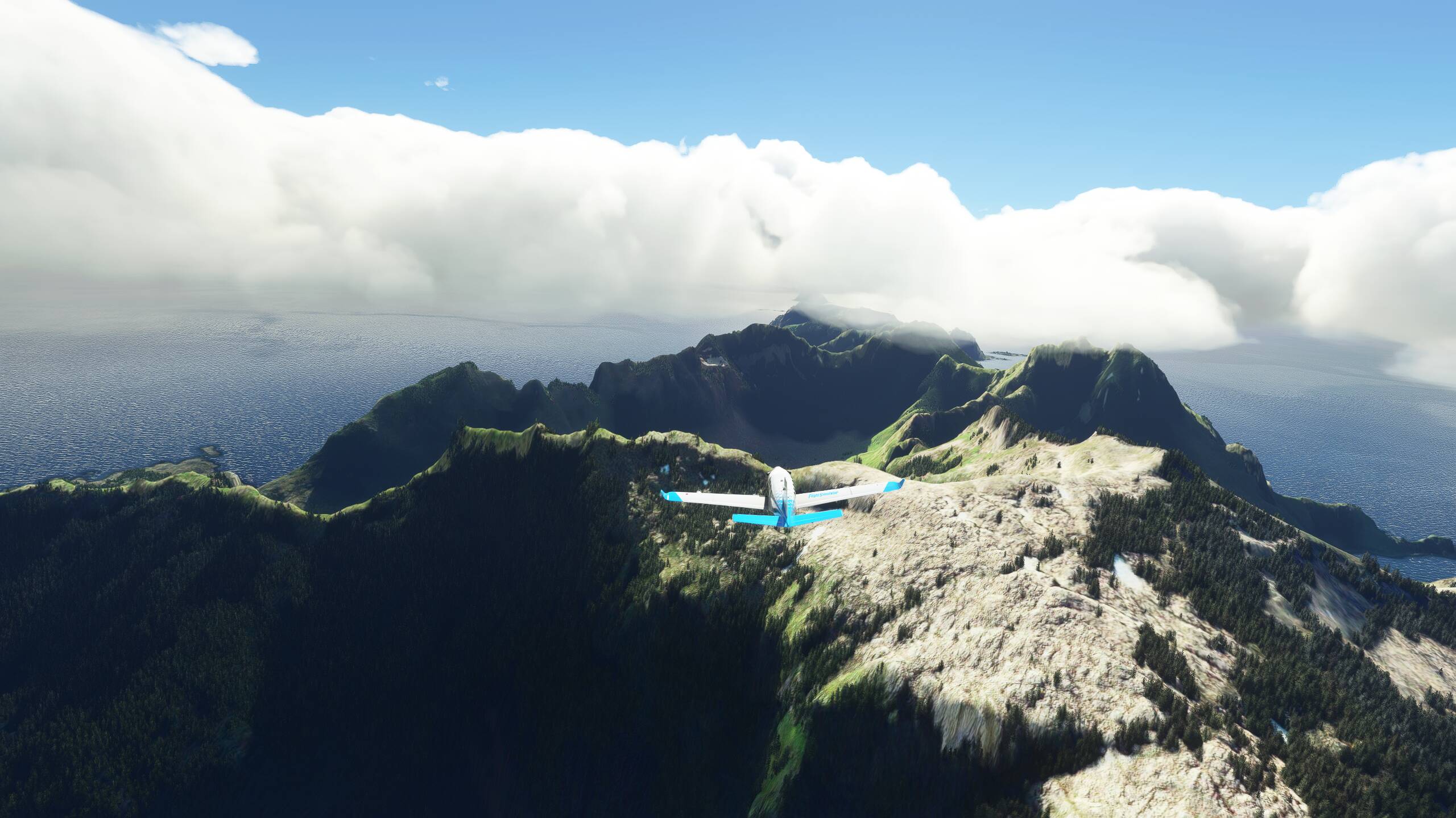
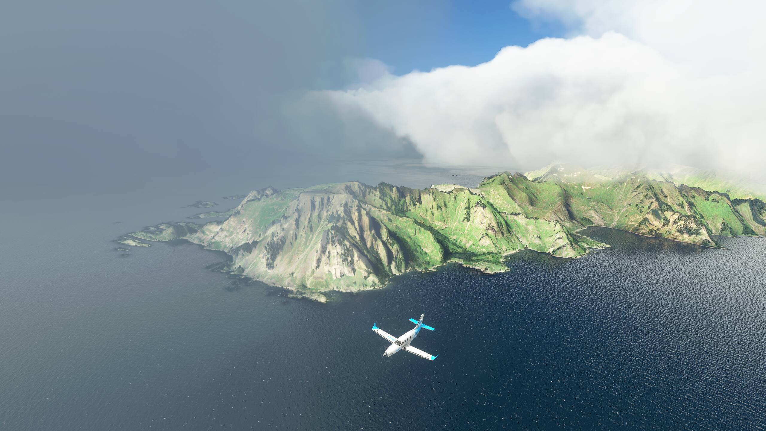
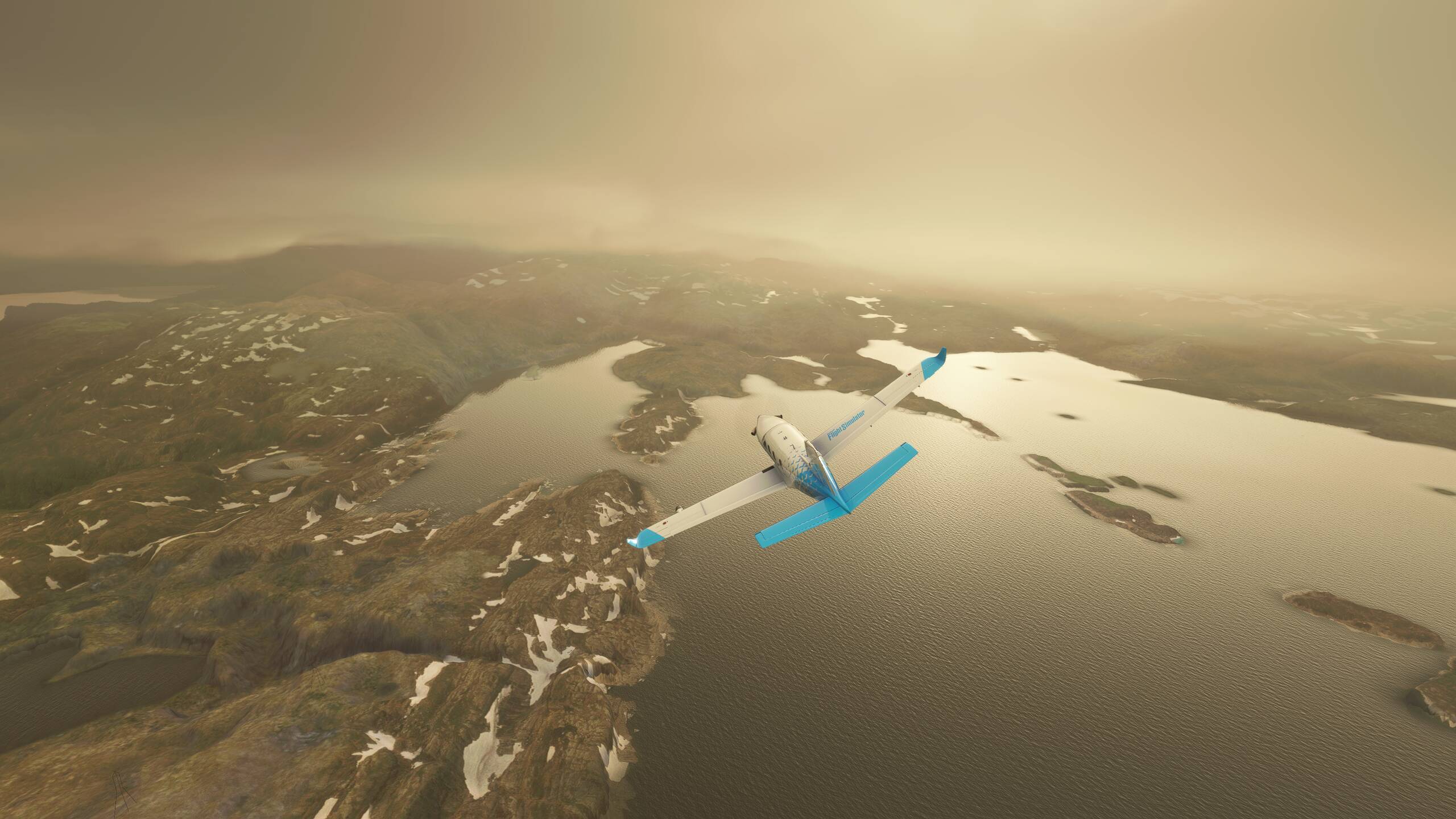
On to our last visit to Hohensalzburg Fortress
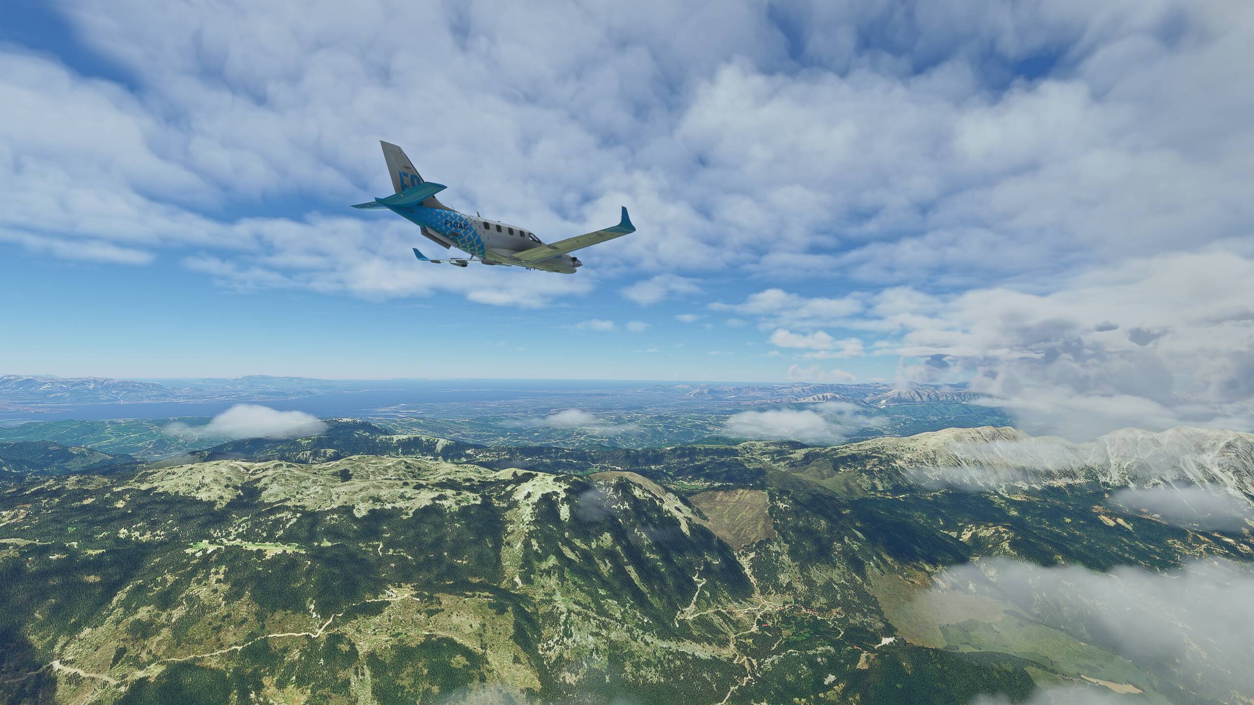
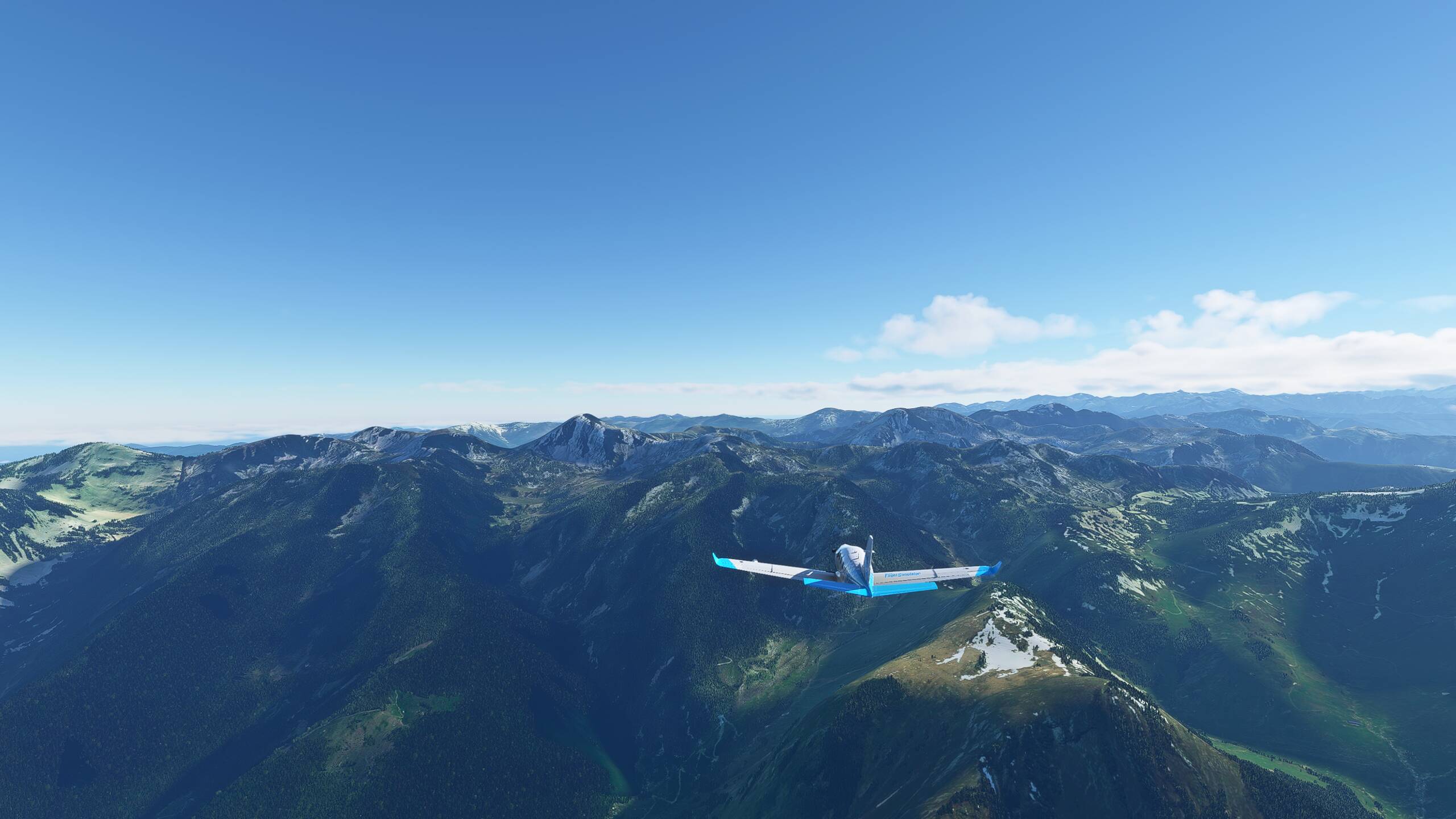
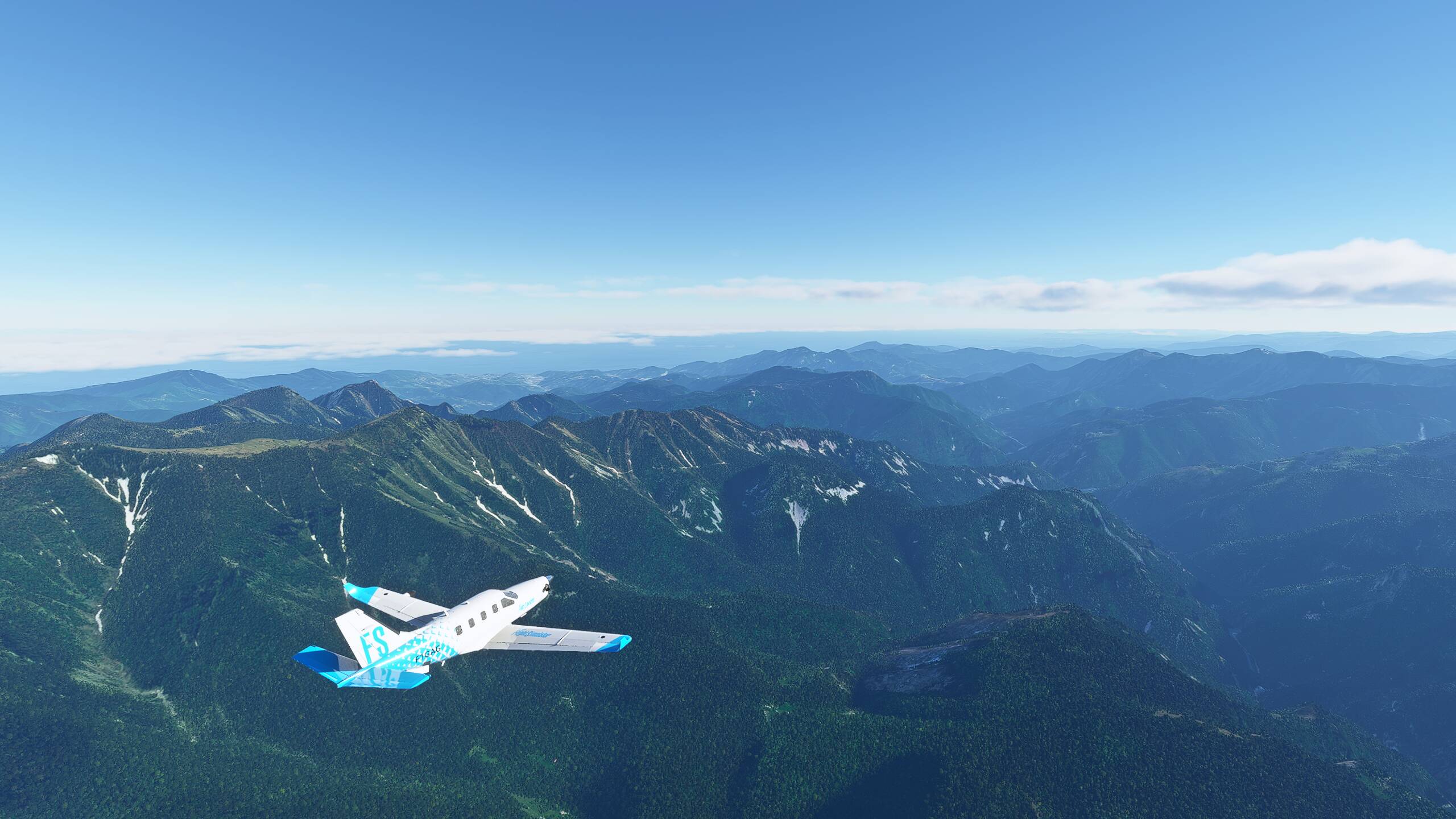
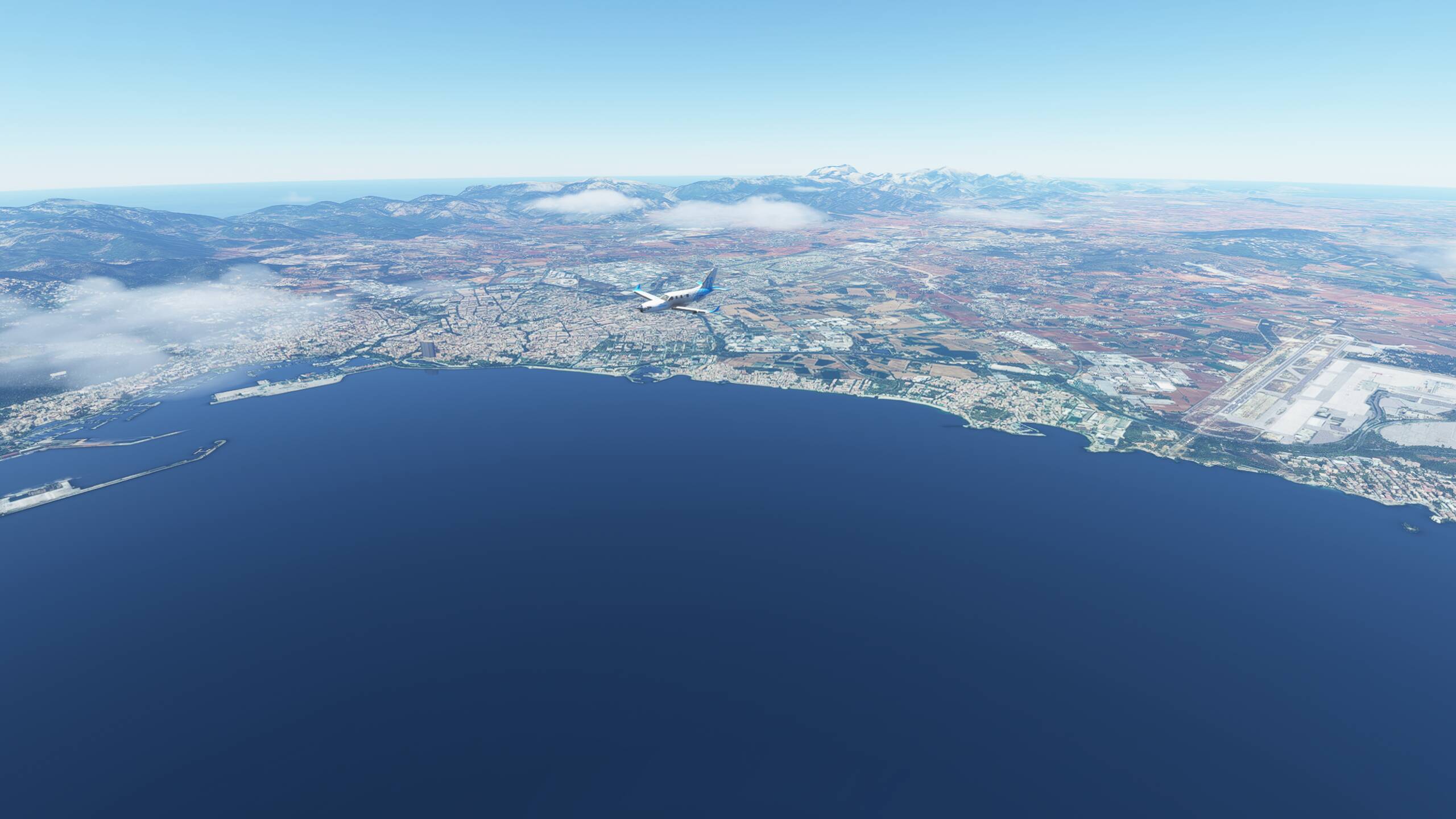
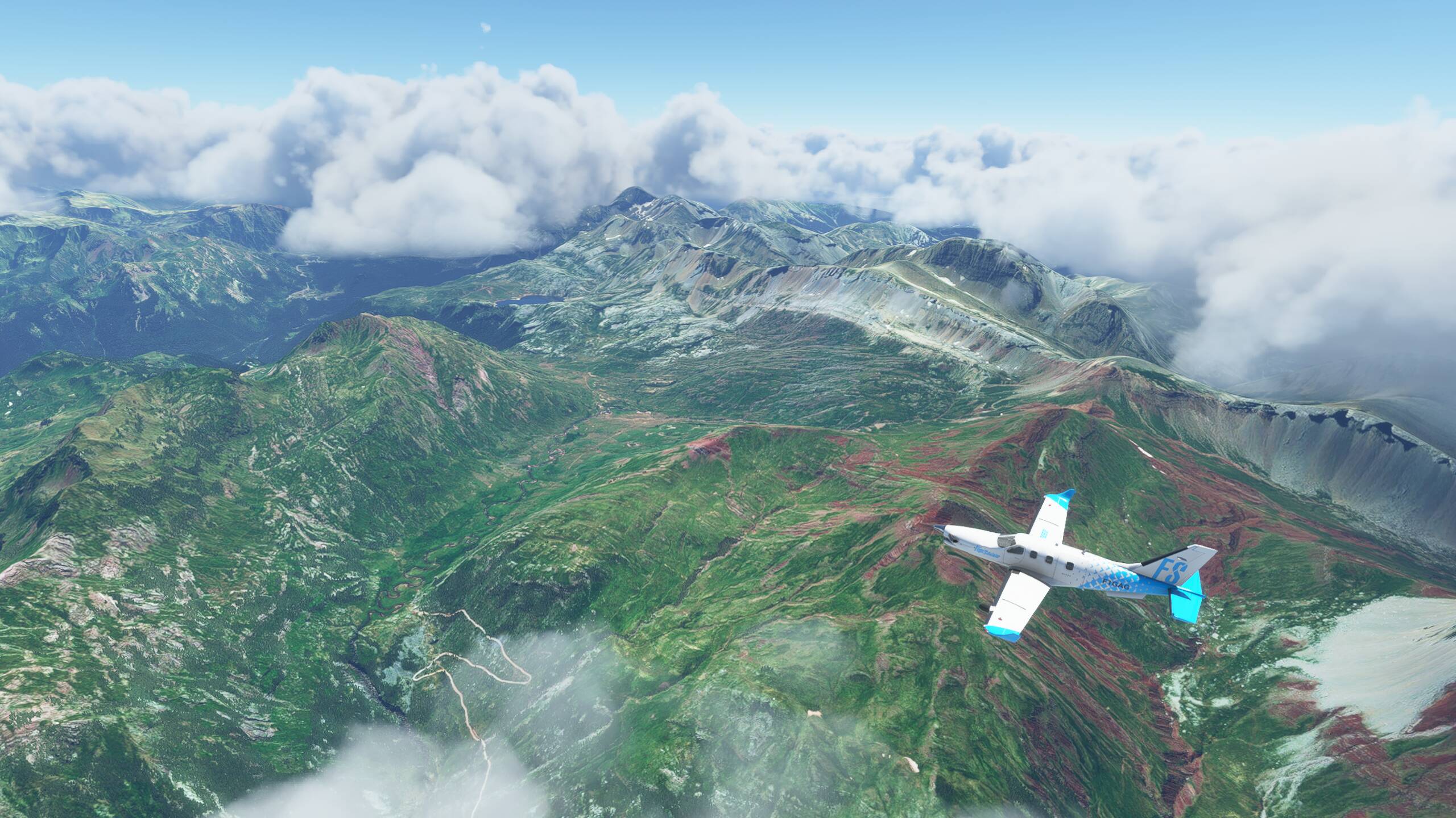
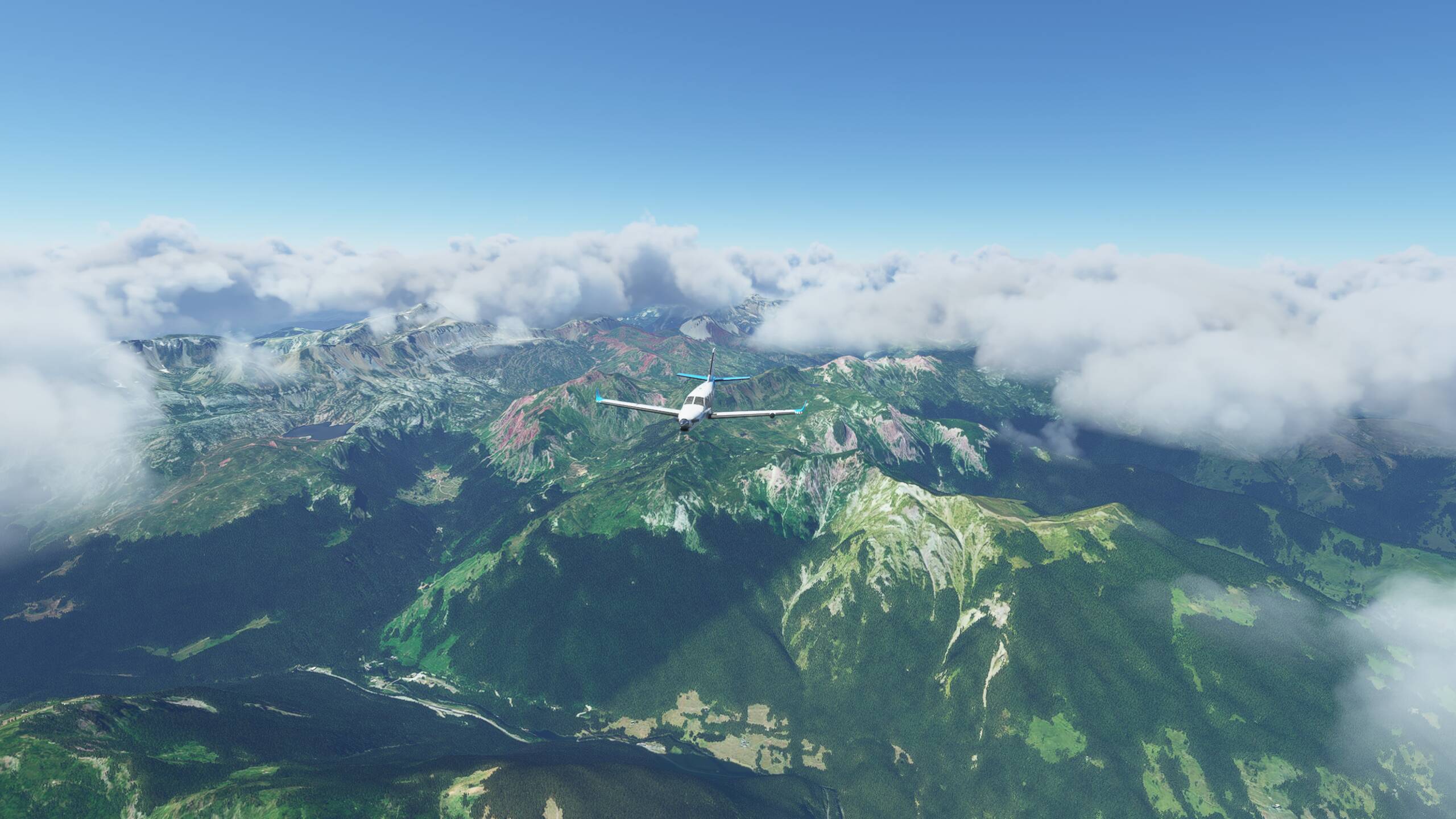
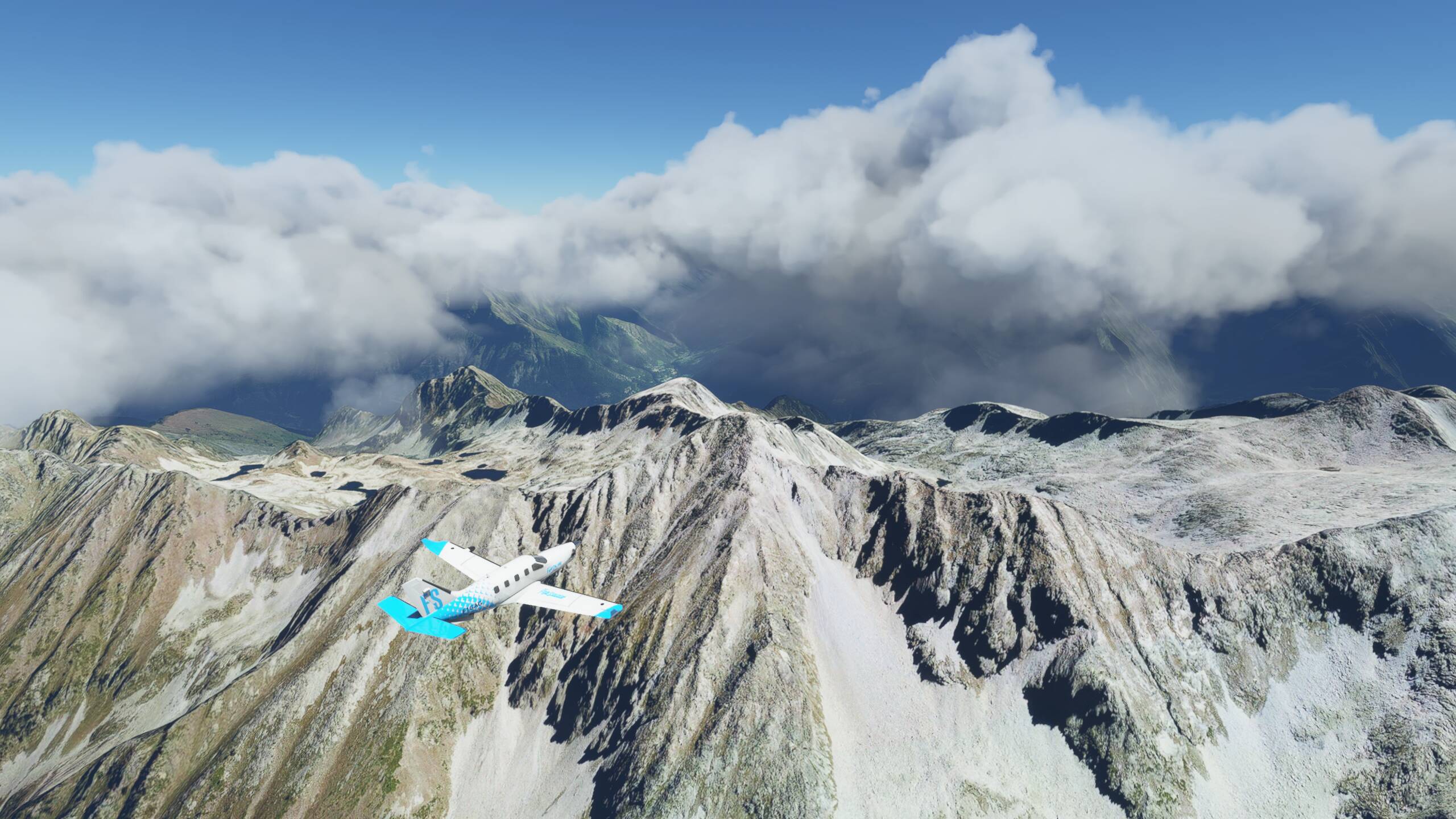
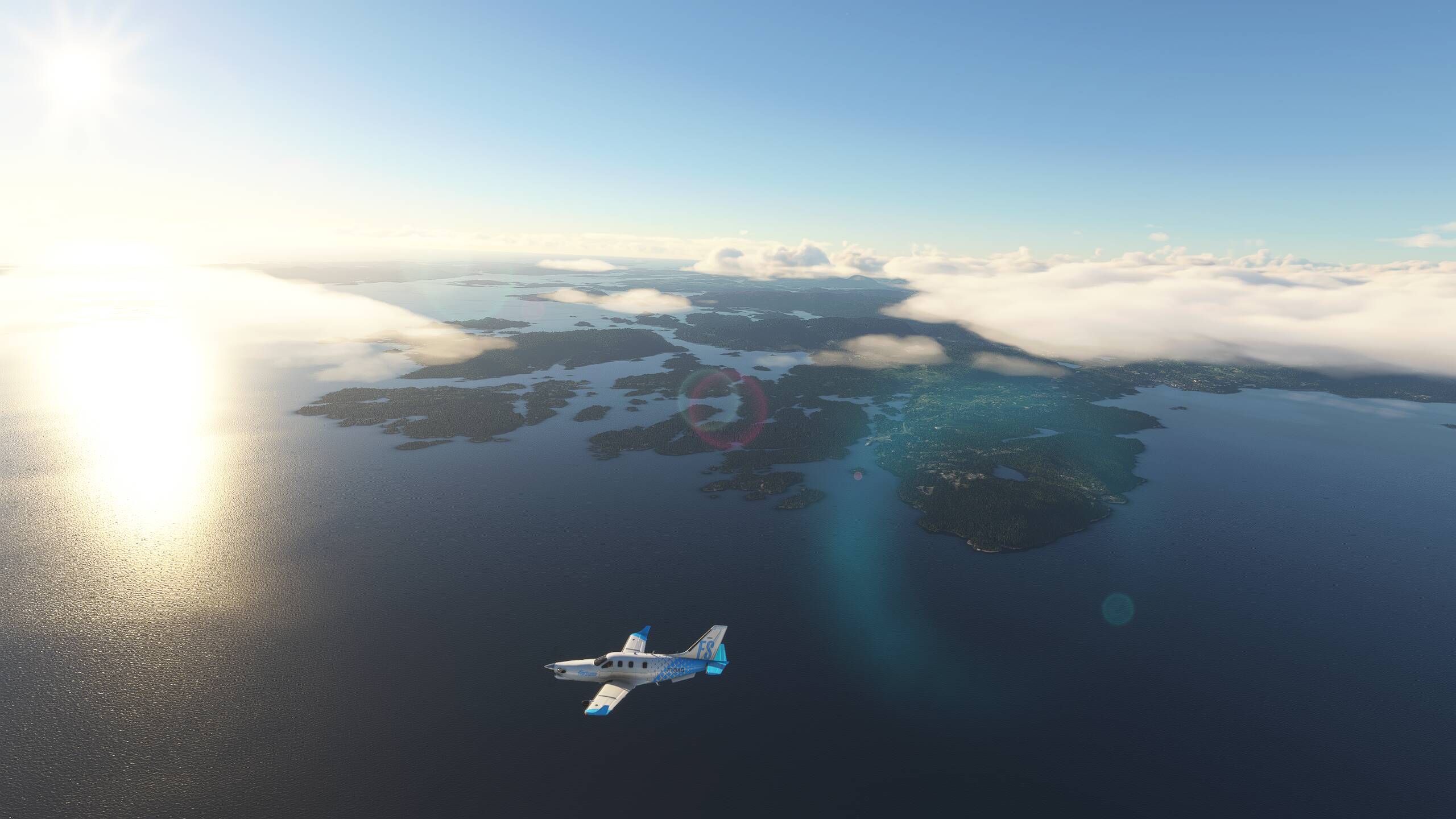
Spectacular views of the Alps and some improving weather too
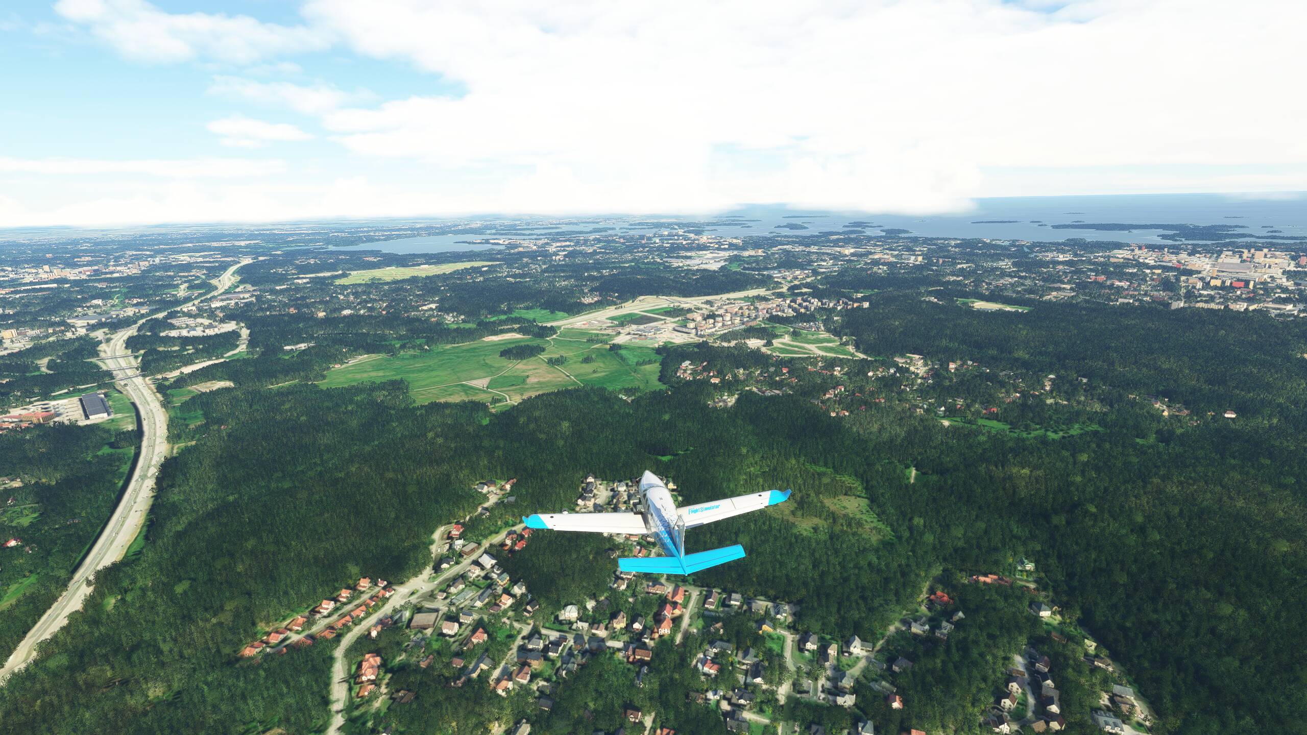
And here is Salzburg and the Hohensalzburg Fortress
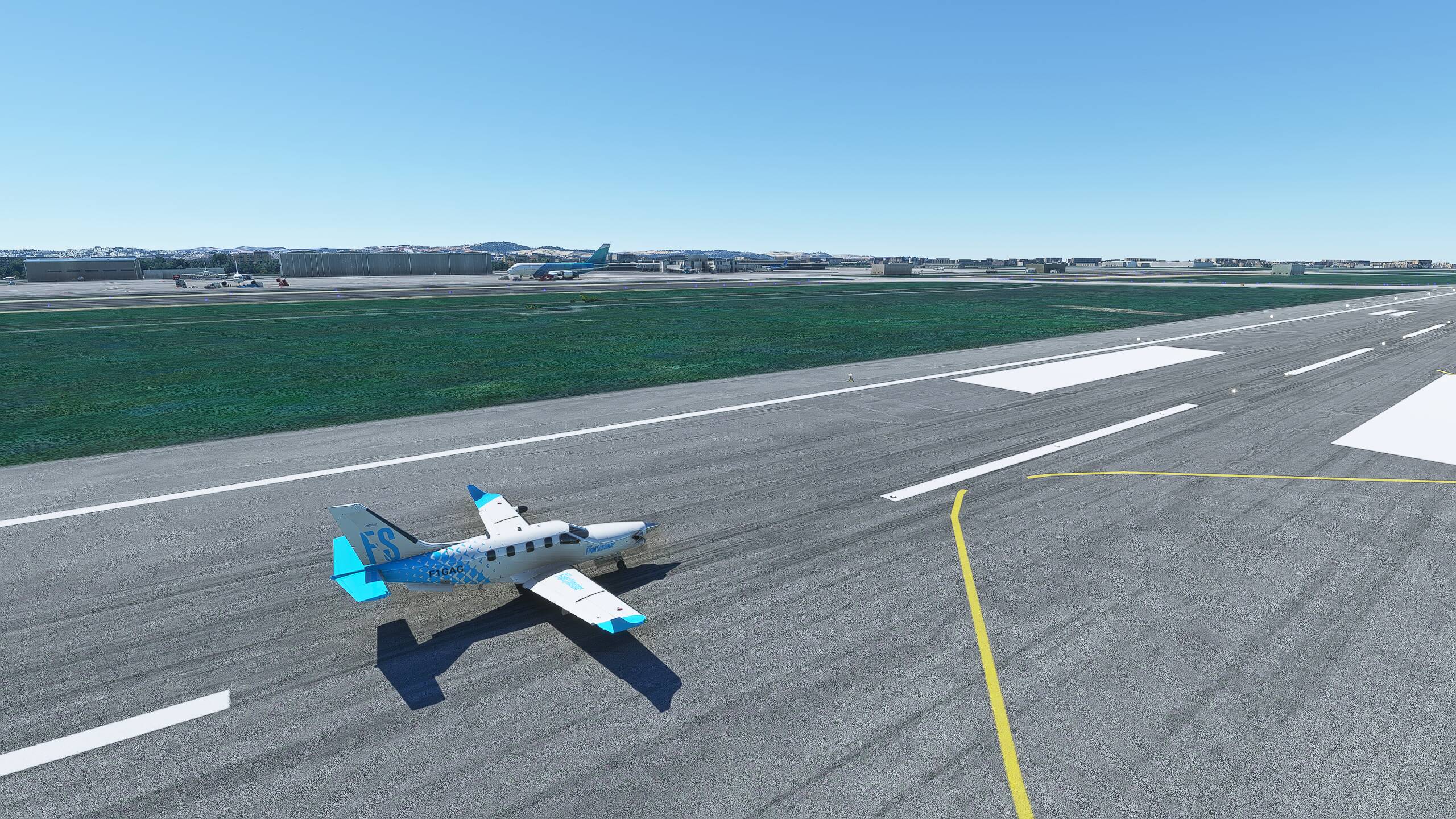
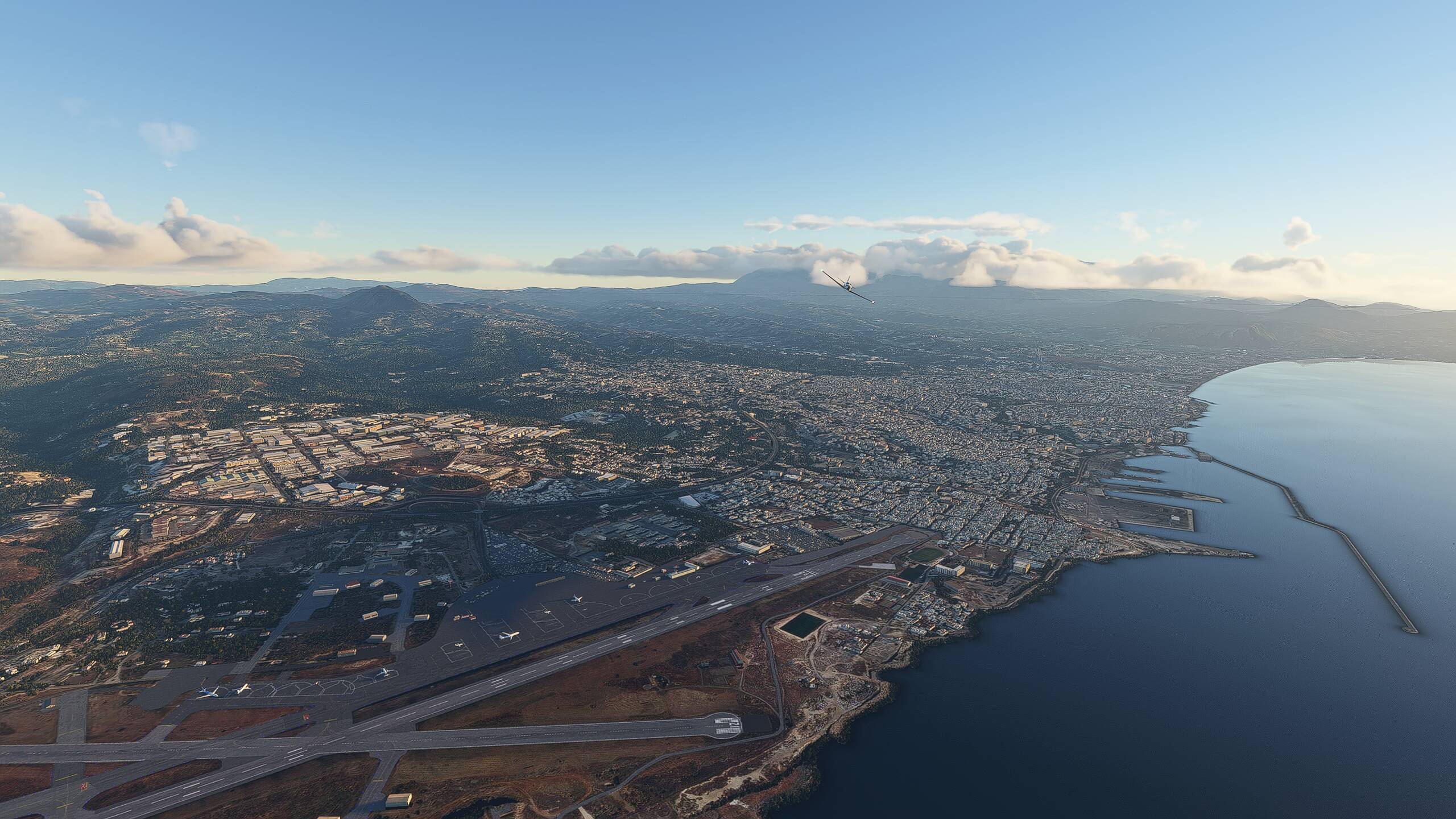
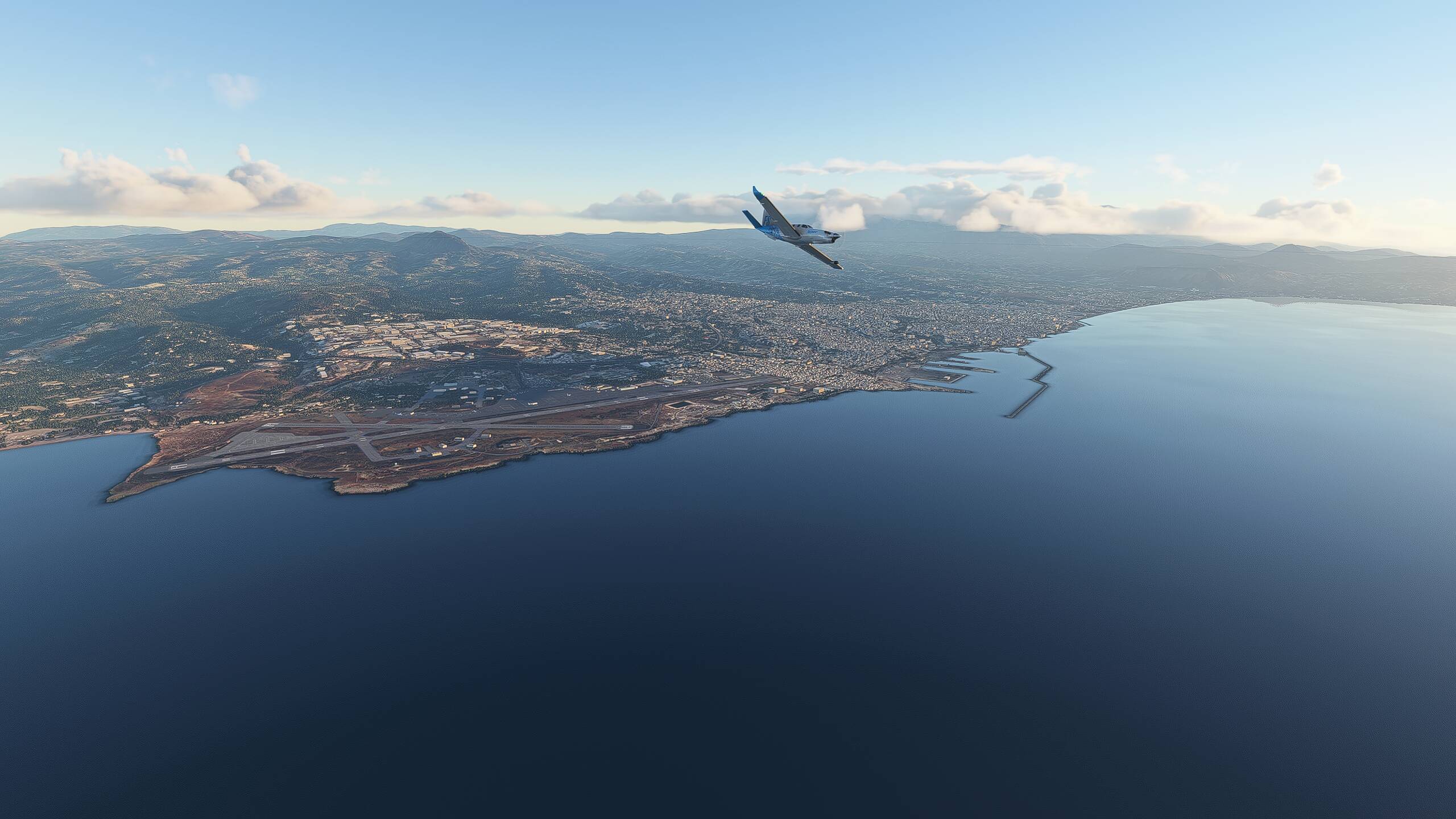
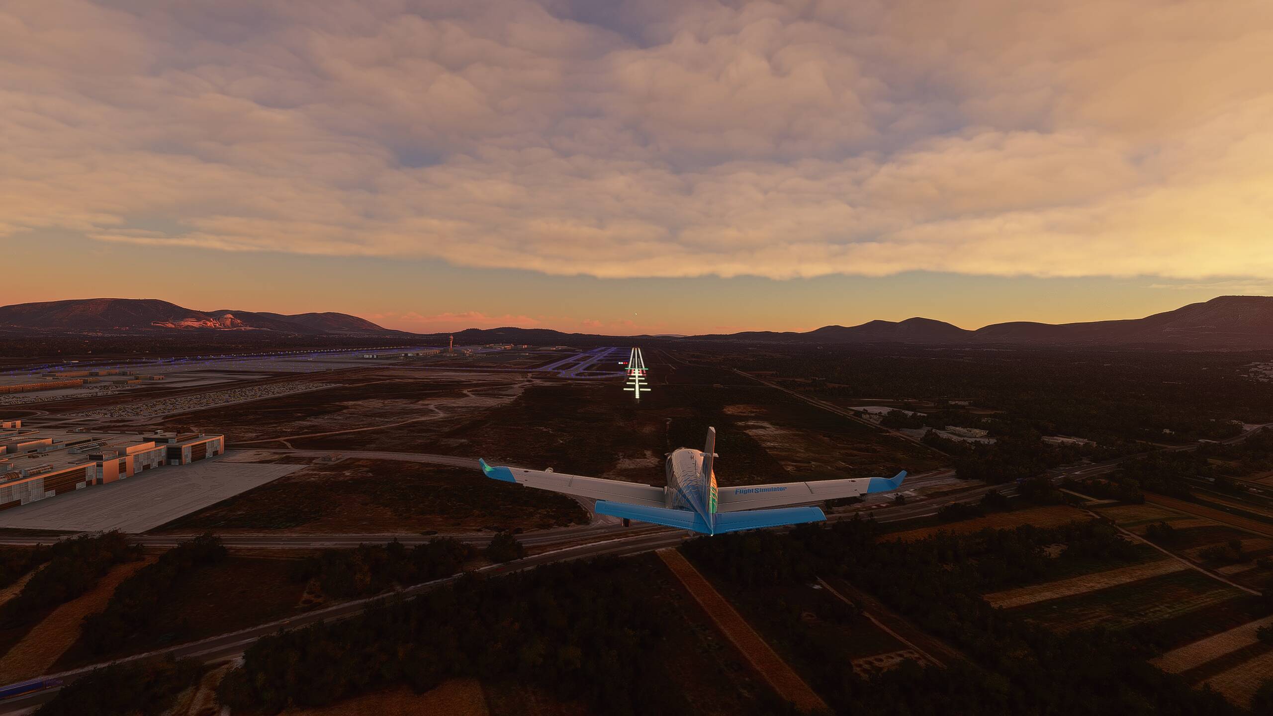
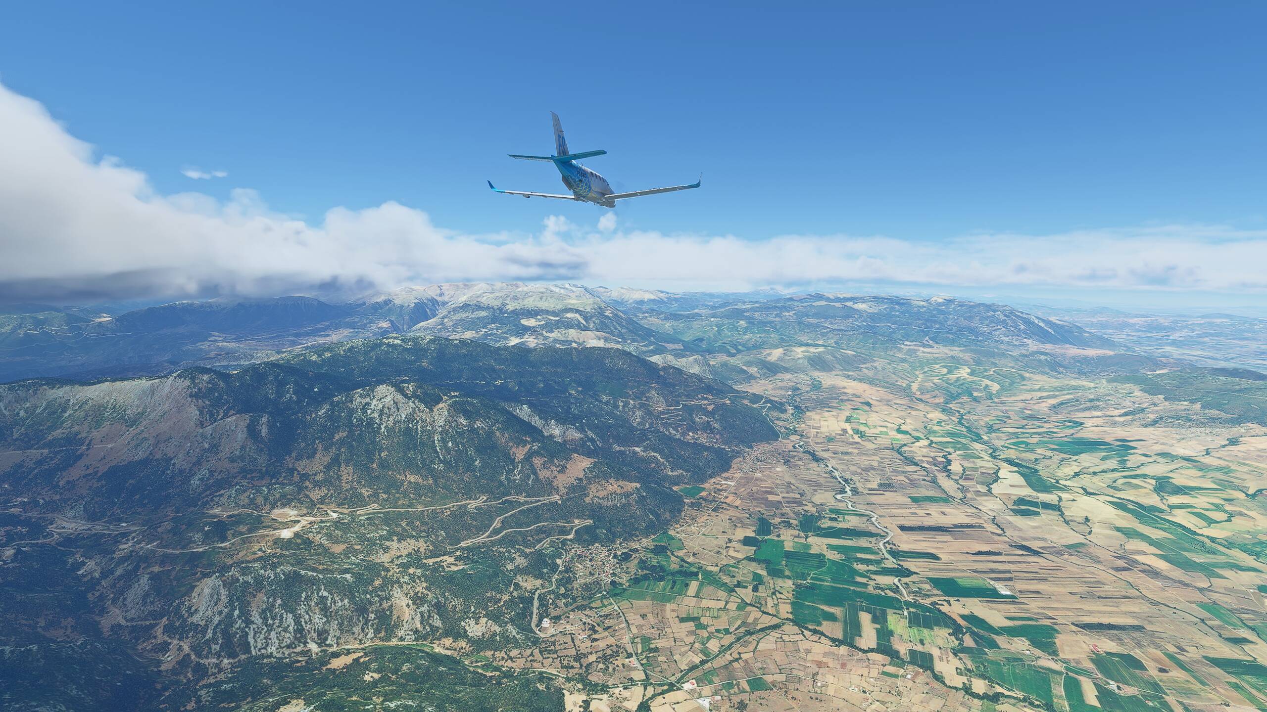
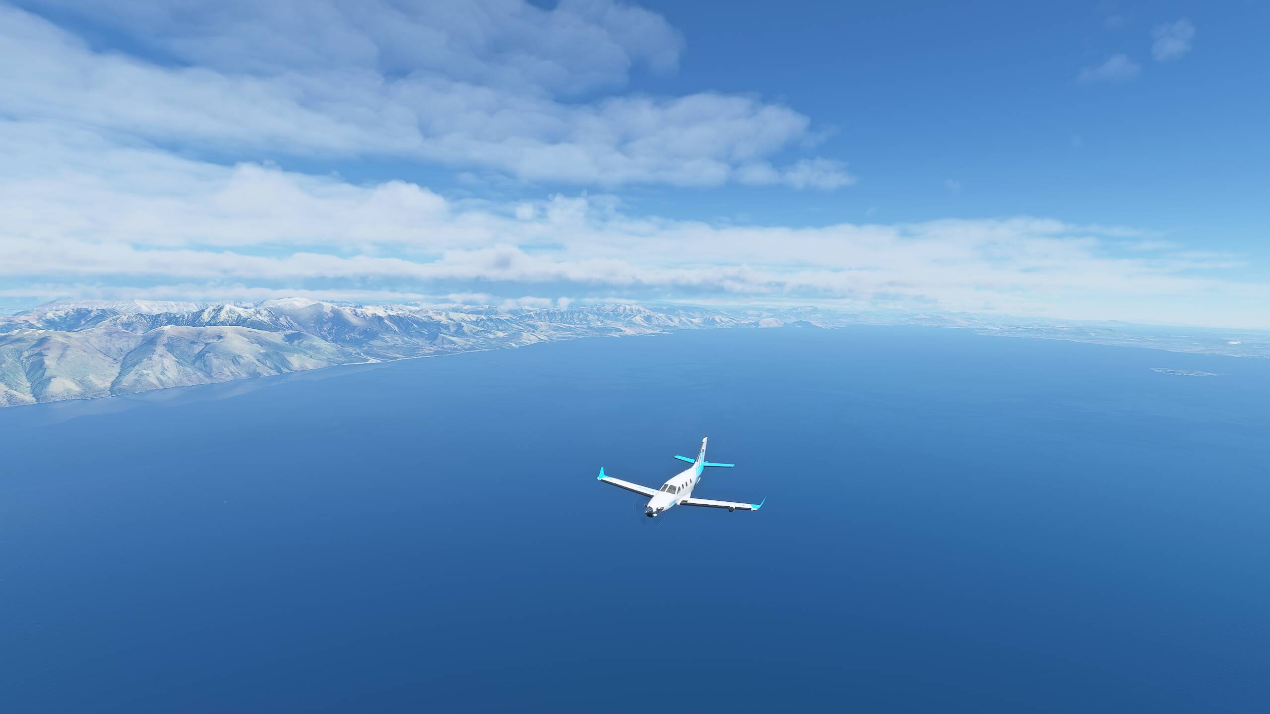
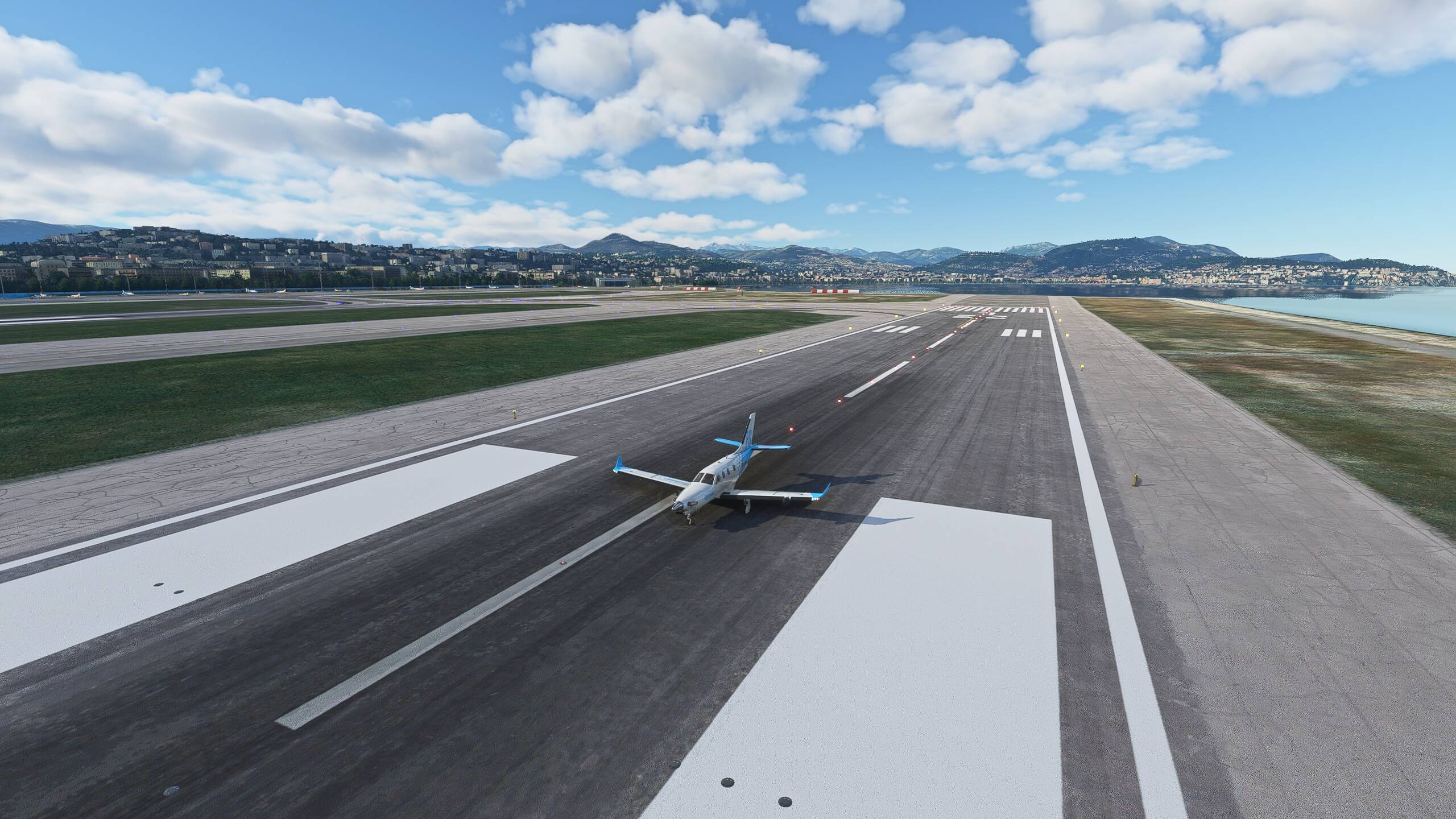
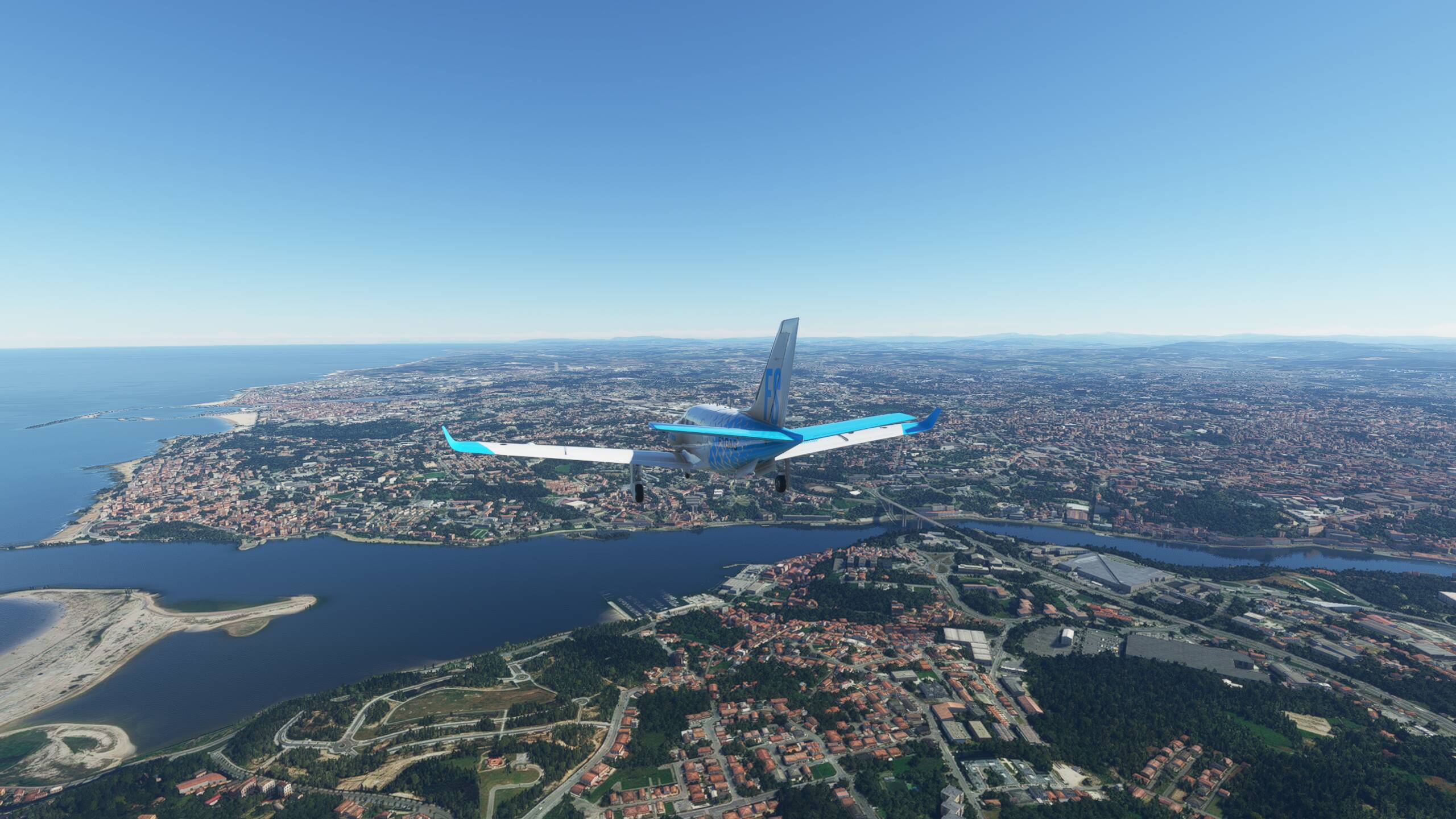
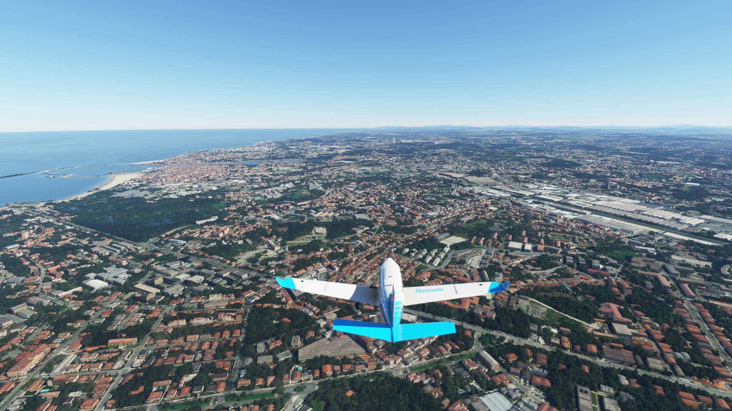
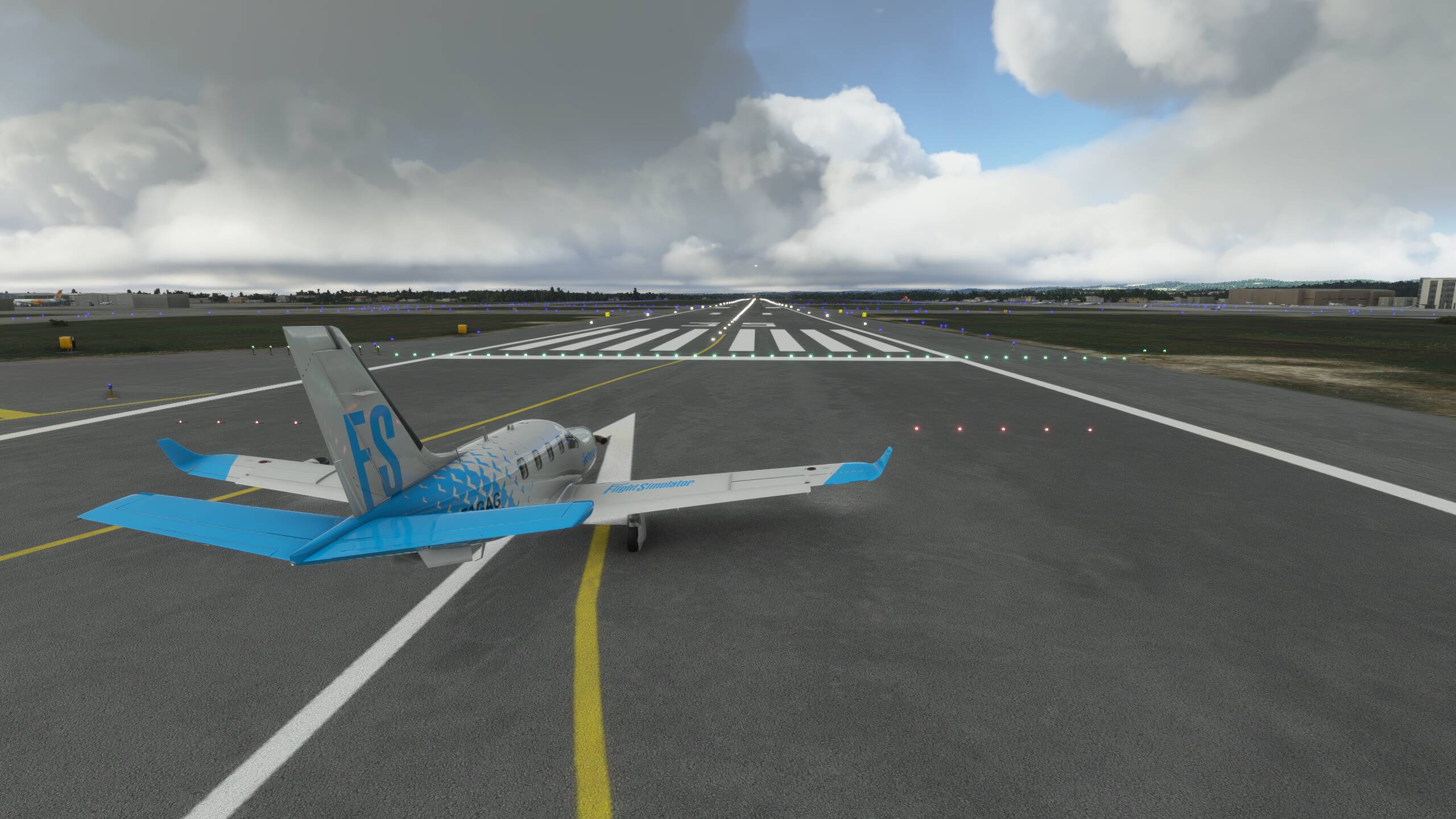
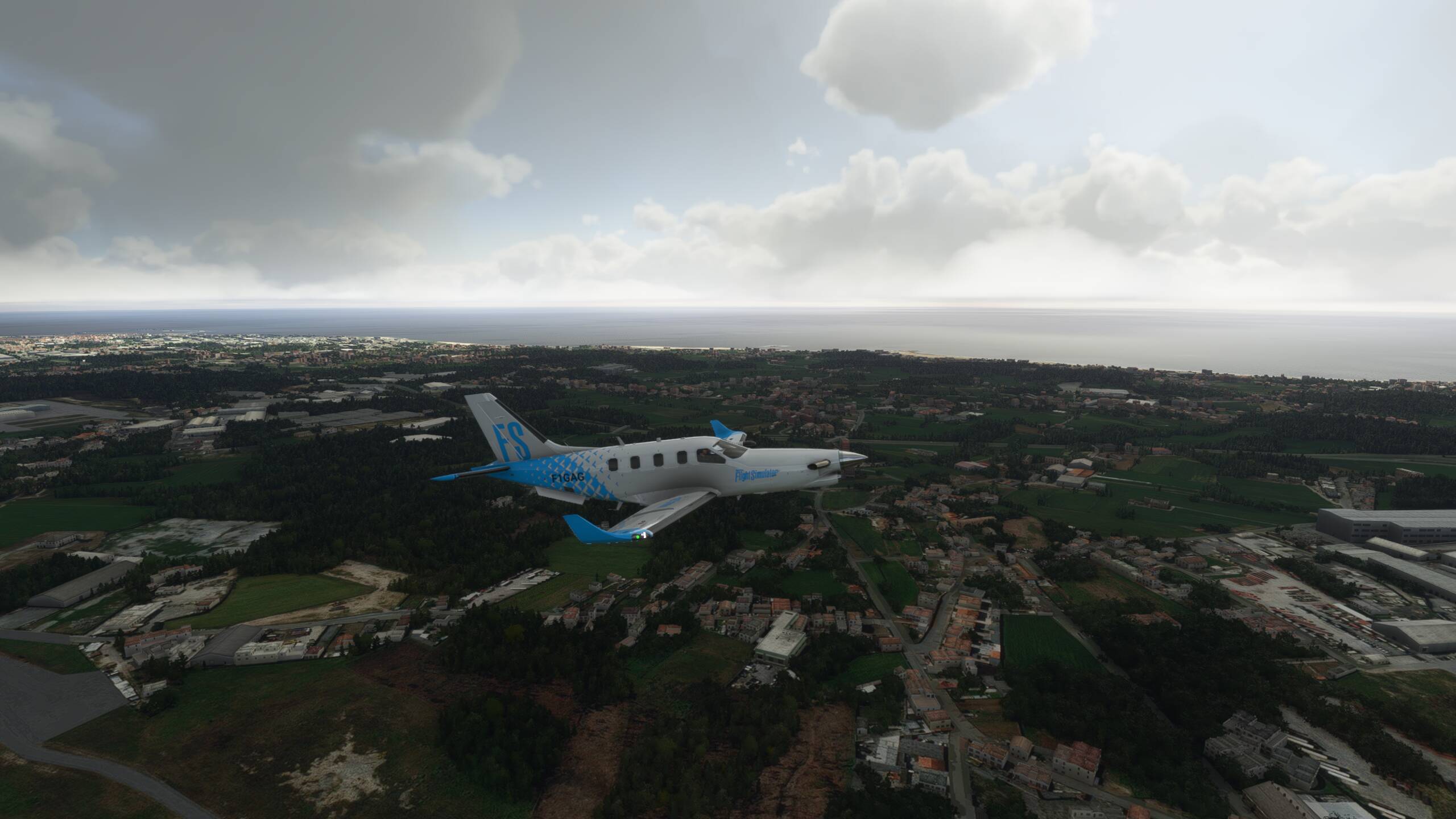
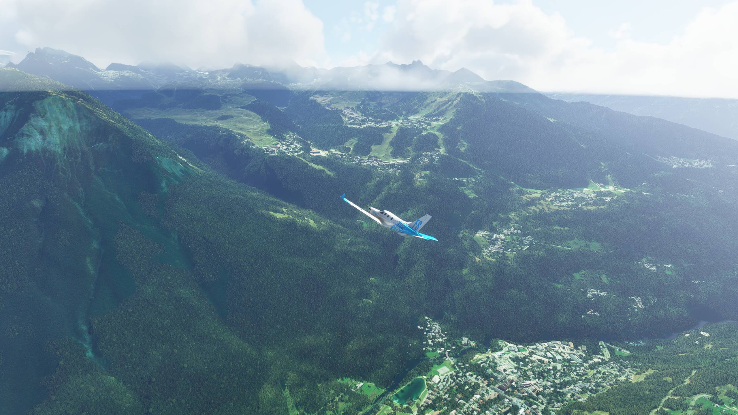
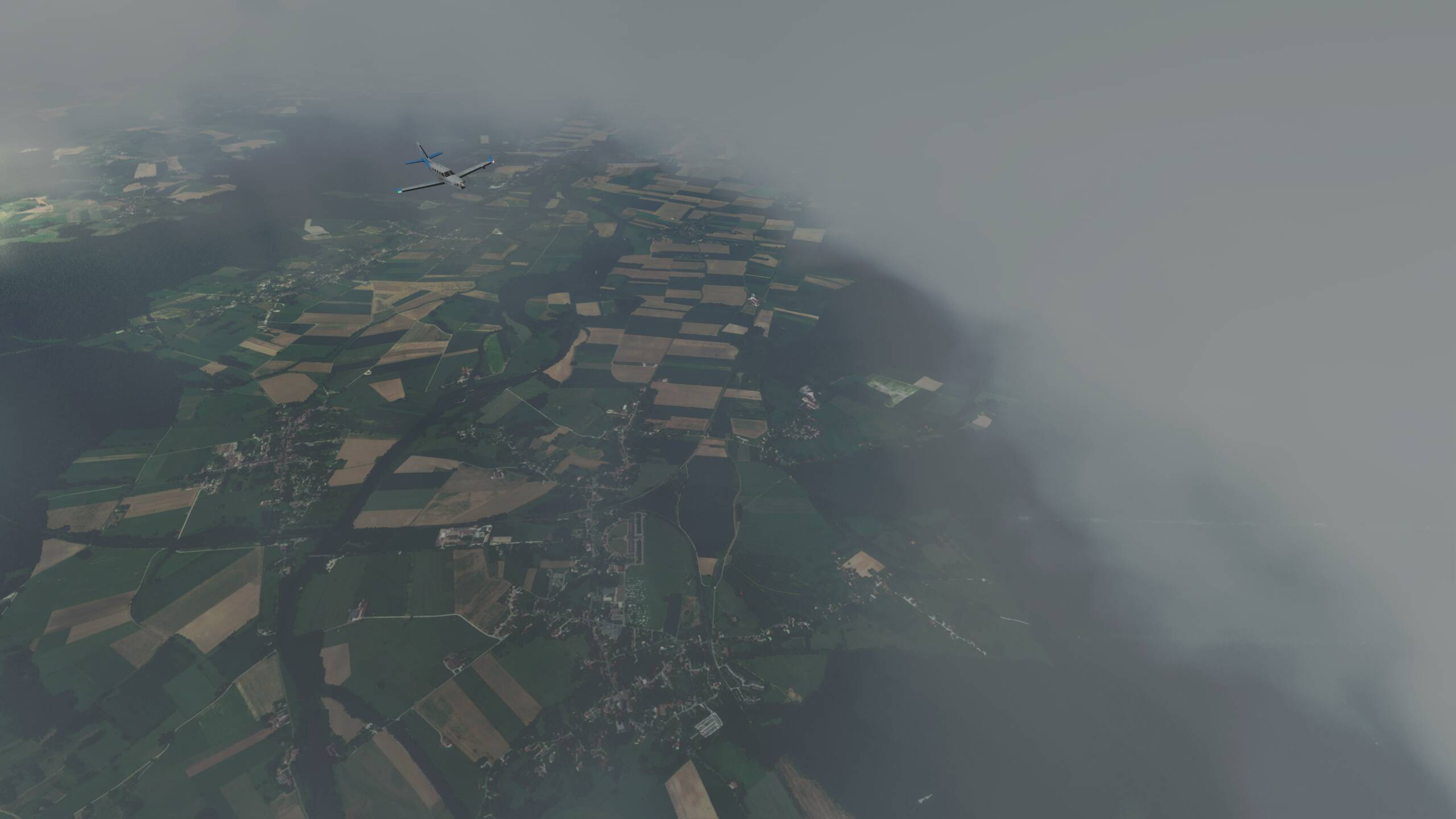
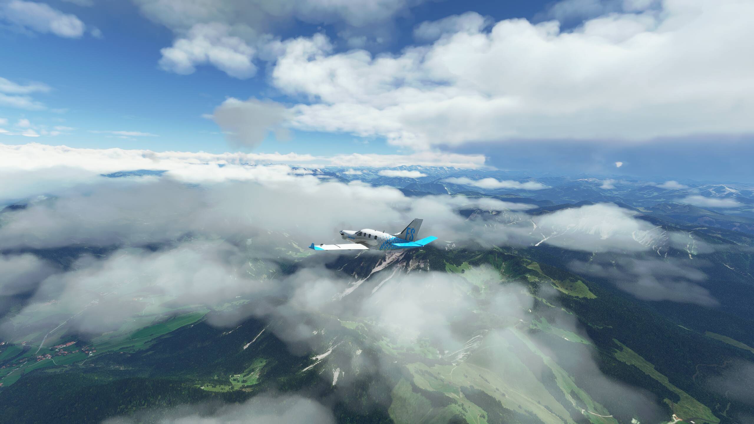
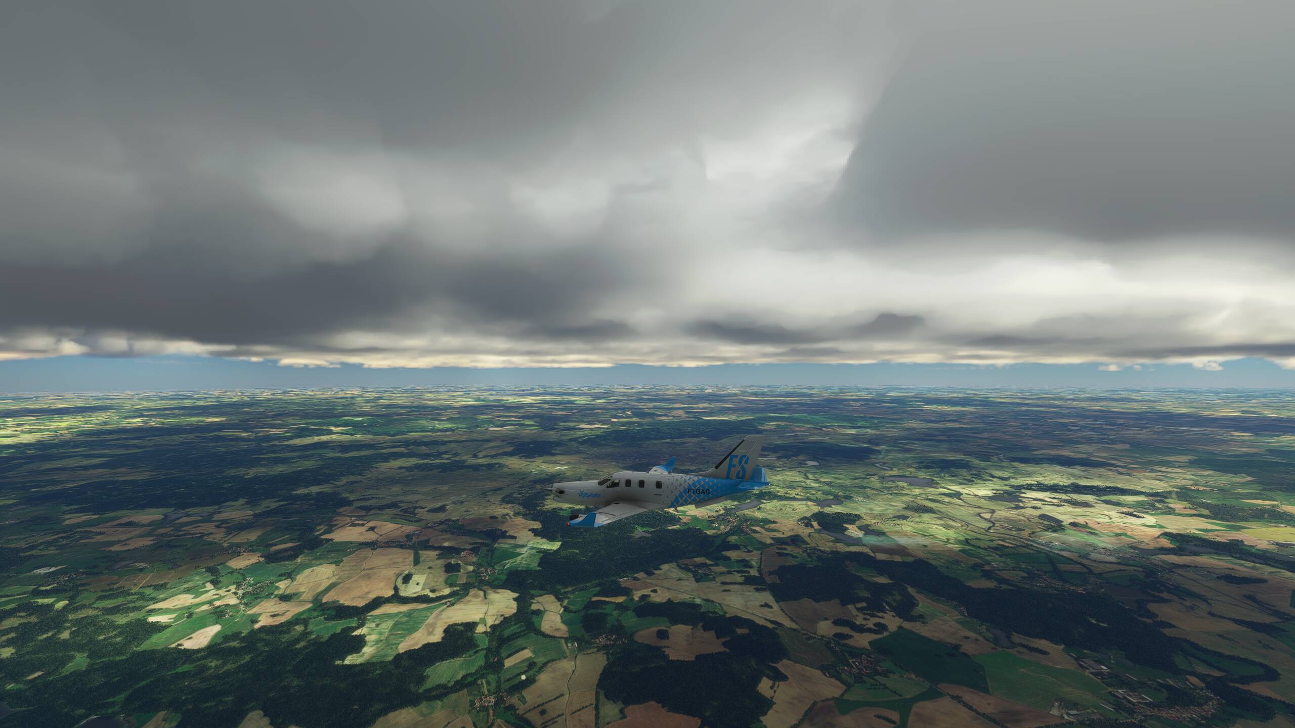
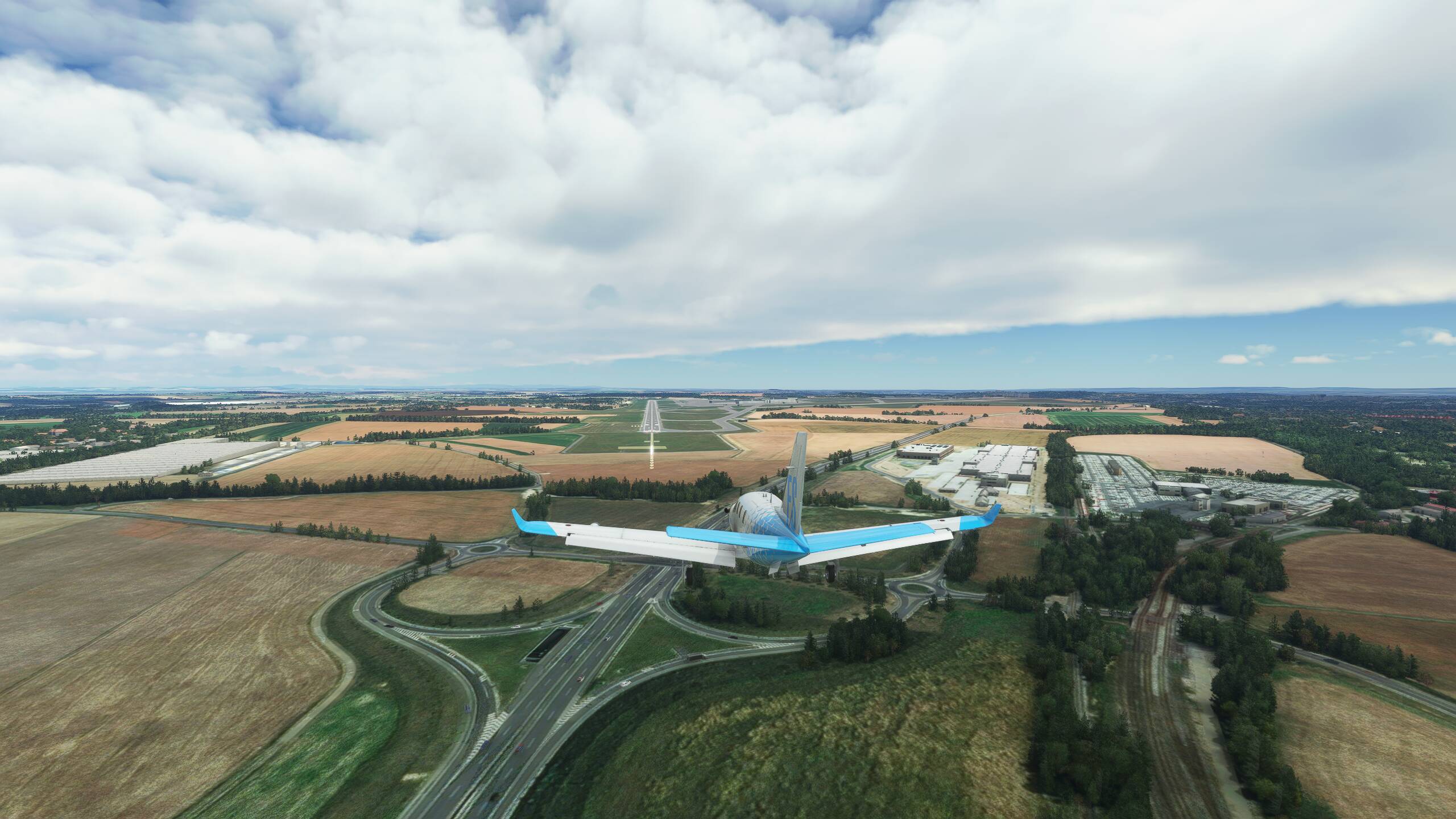
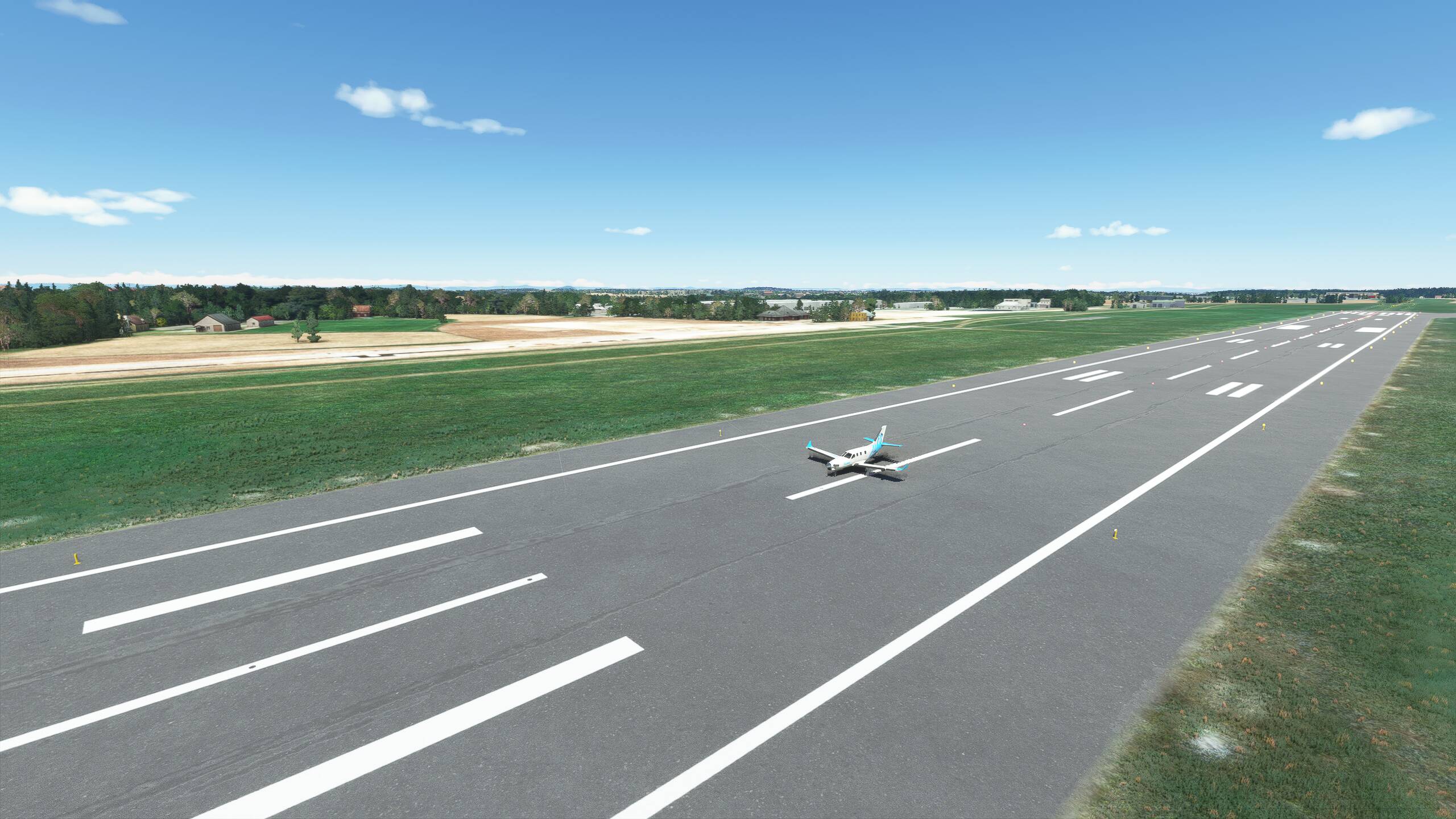
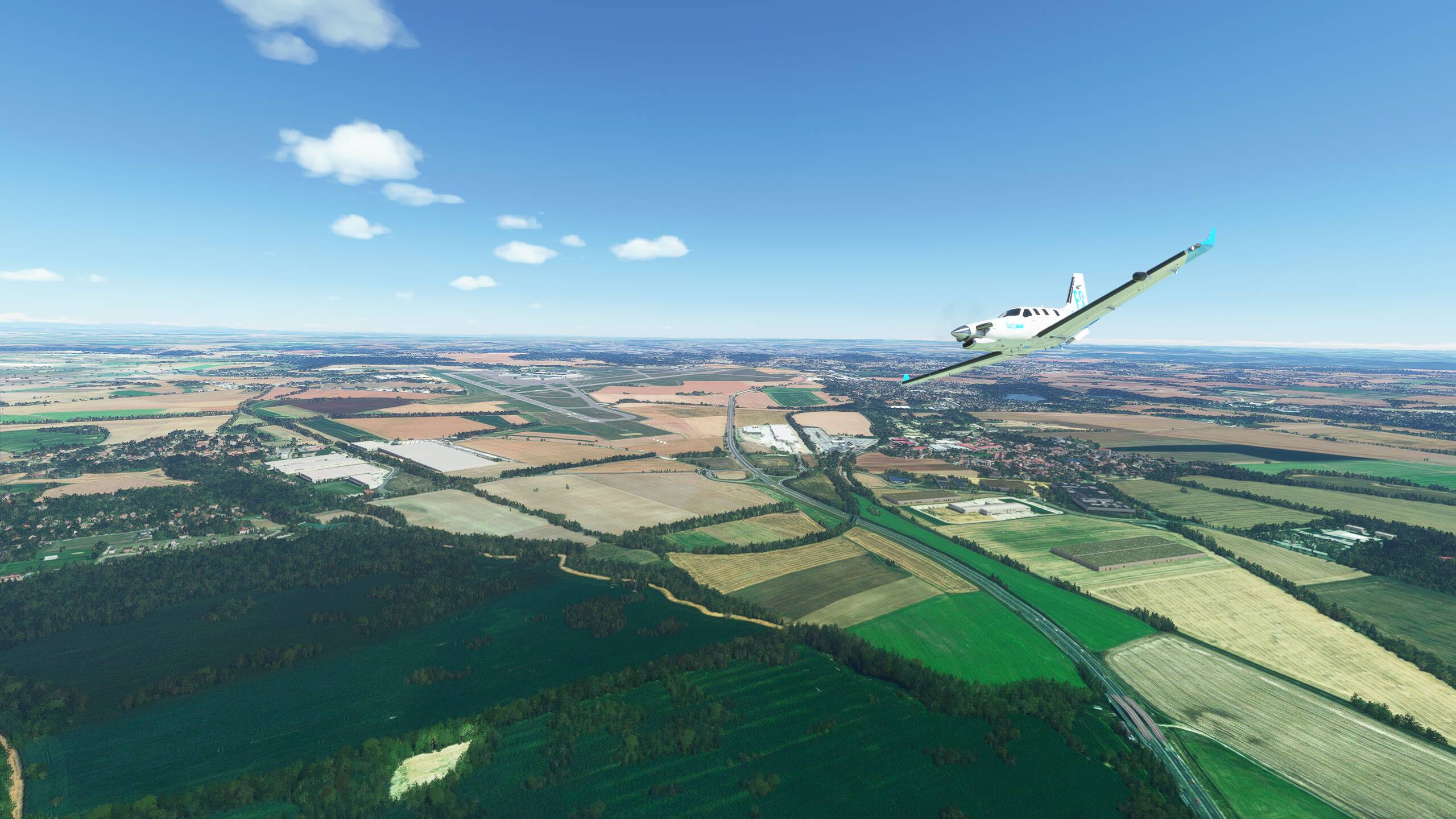
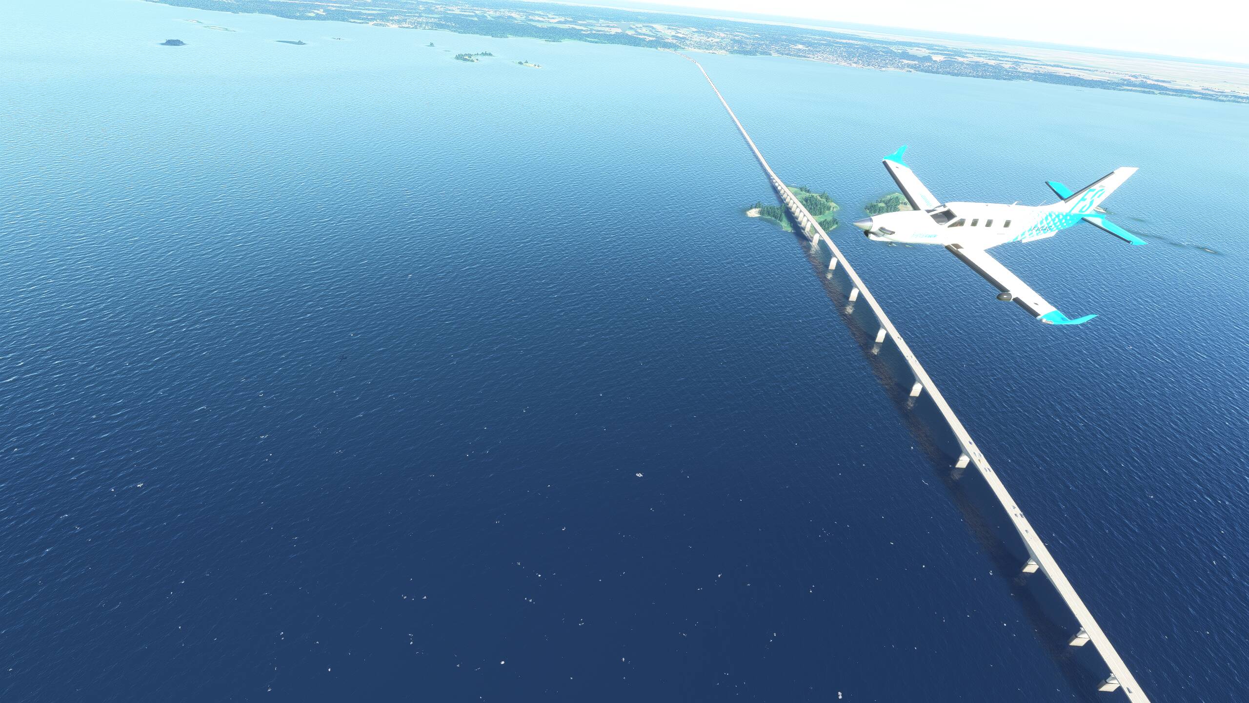
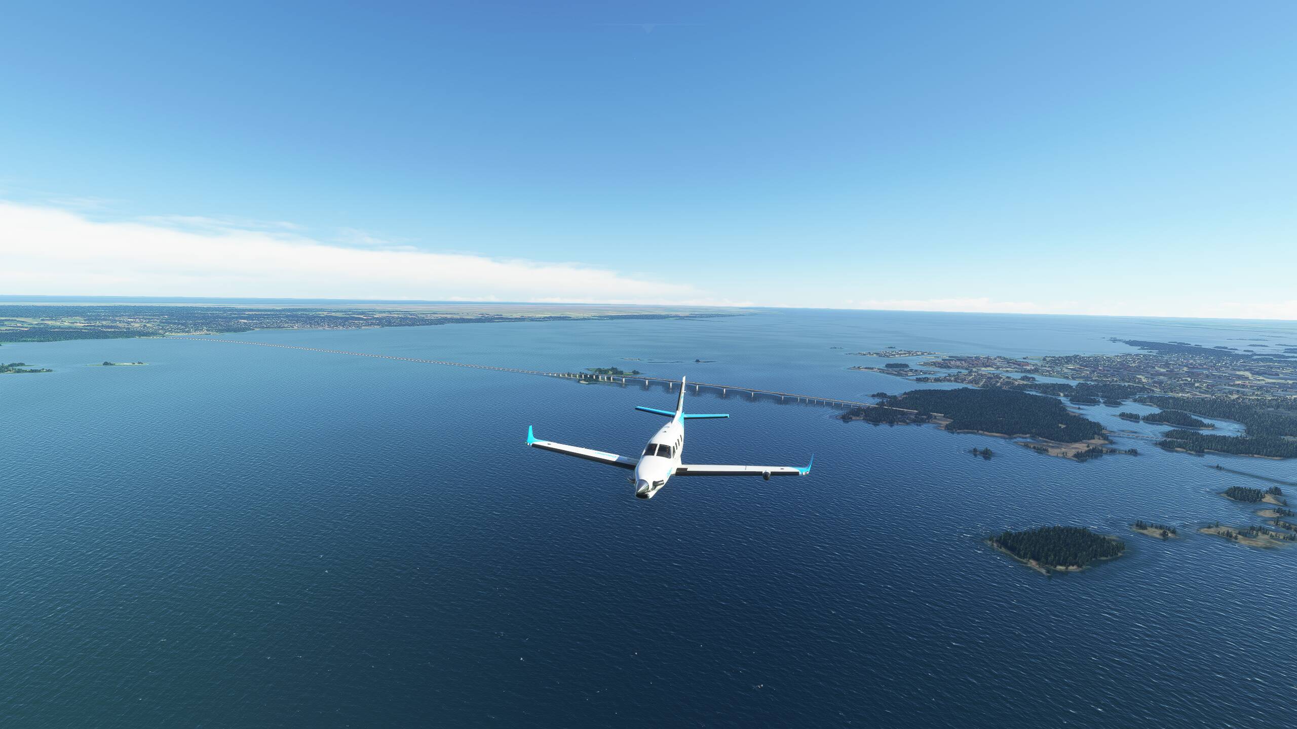
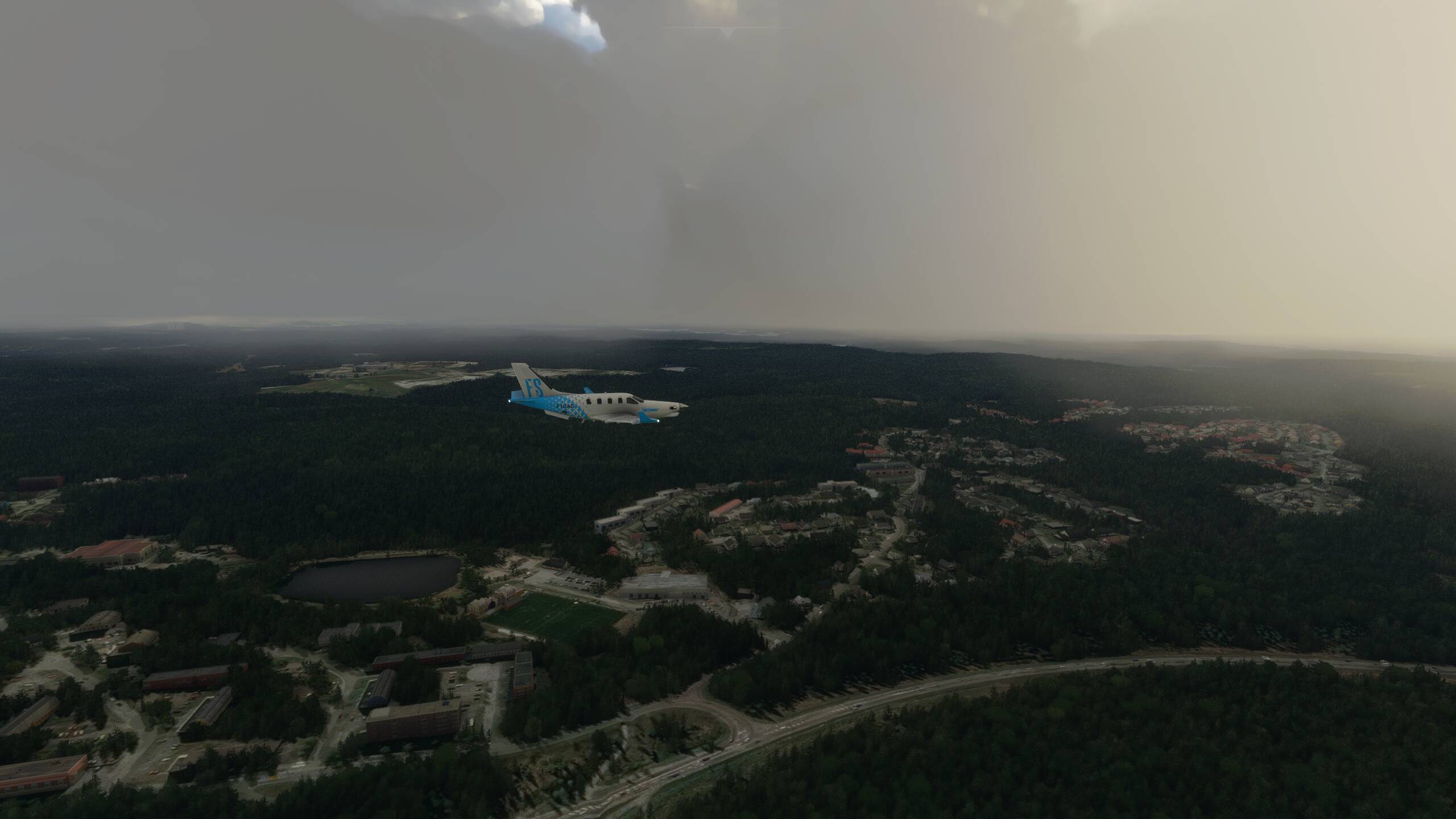
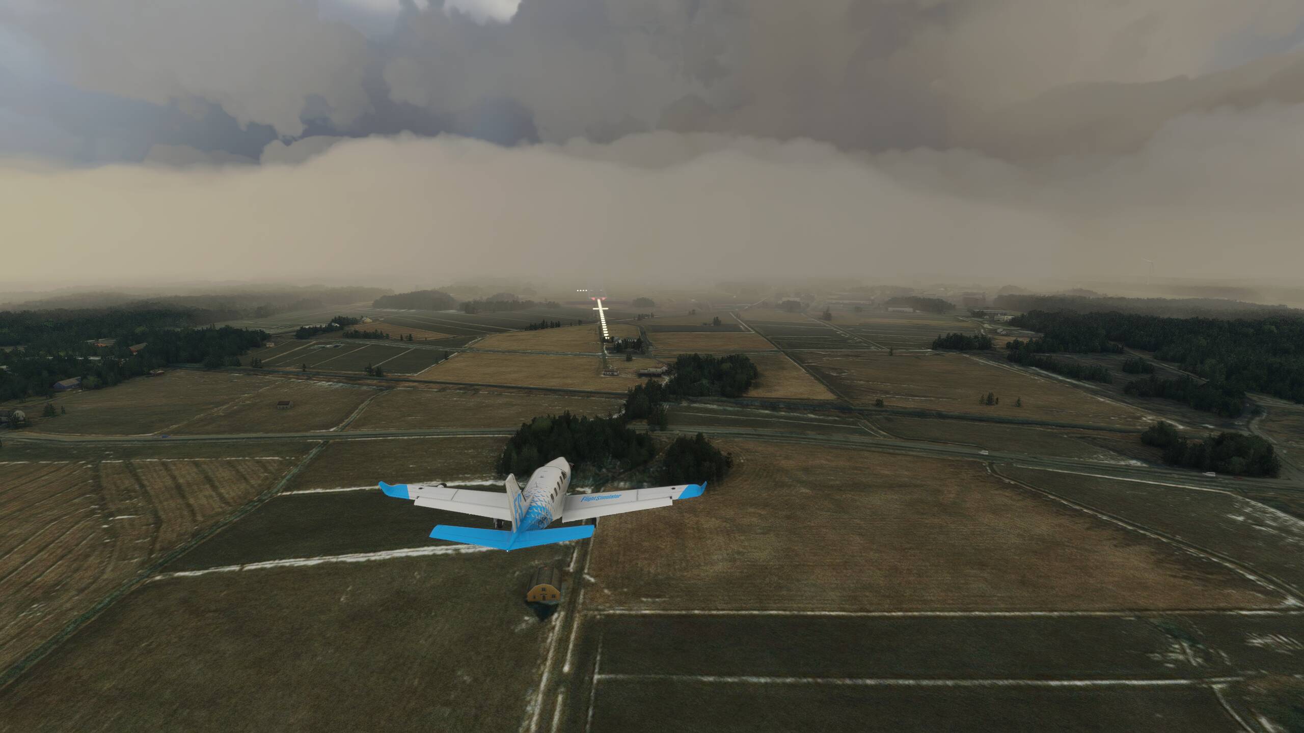
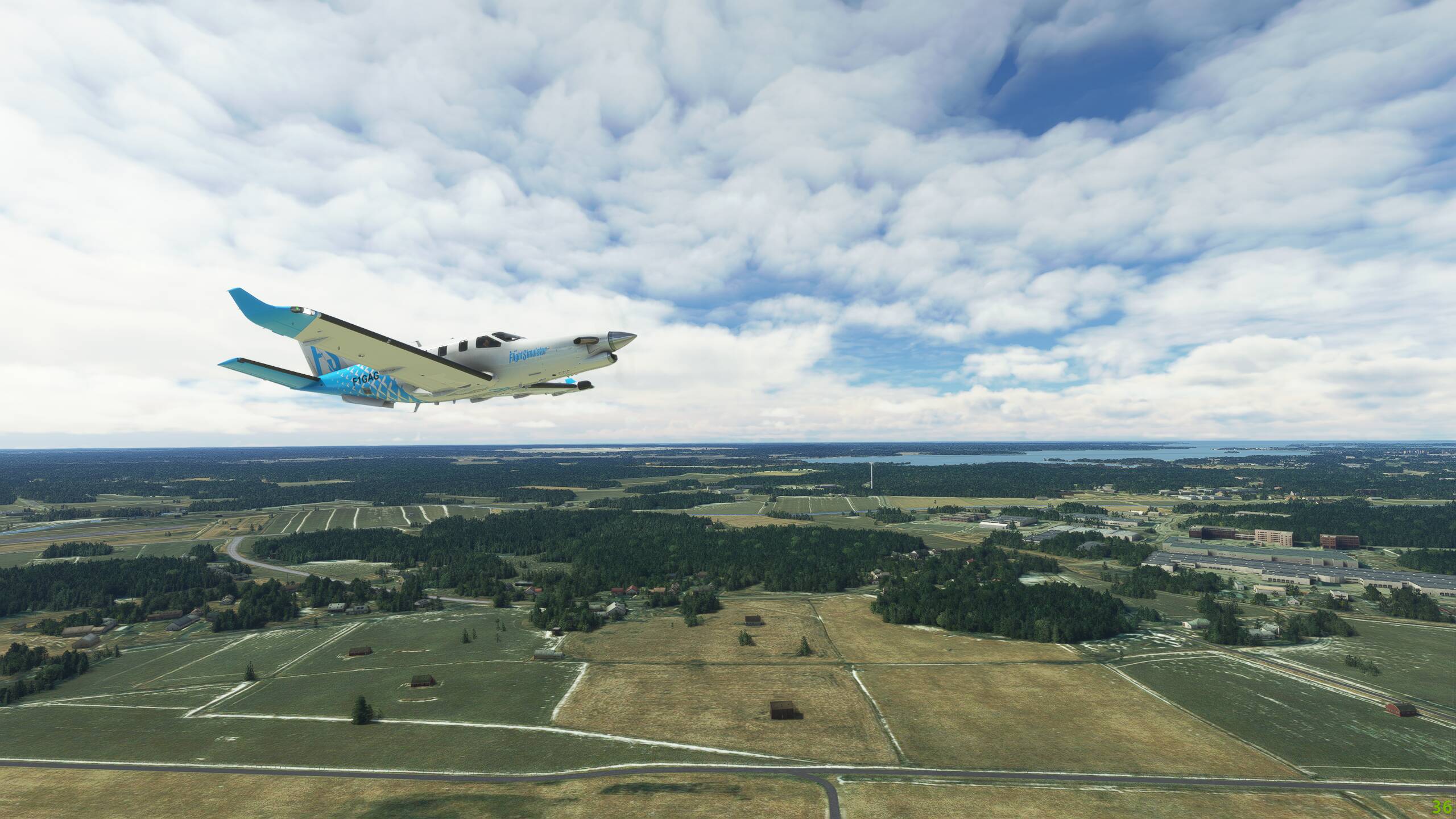
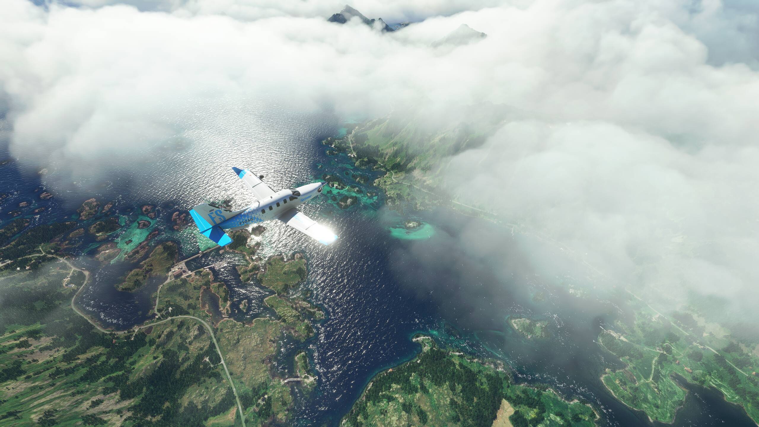
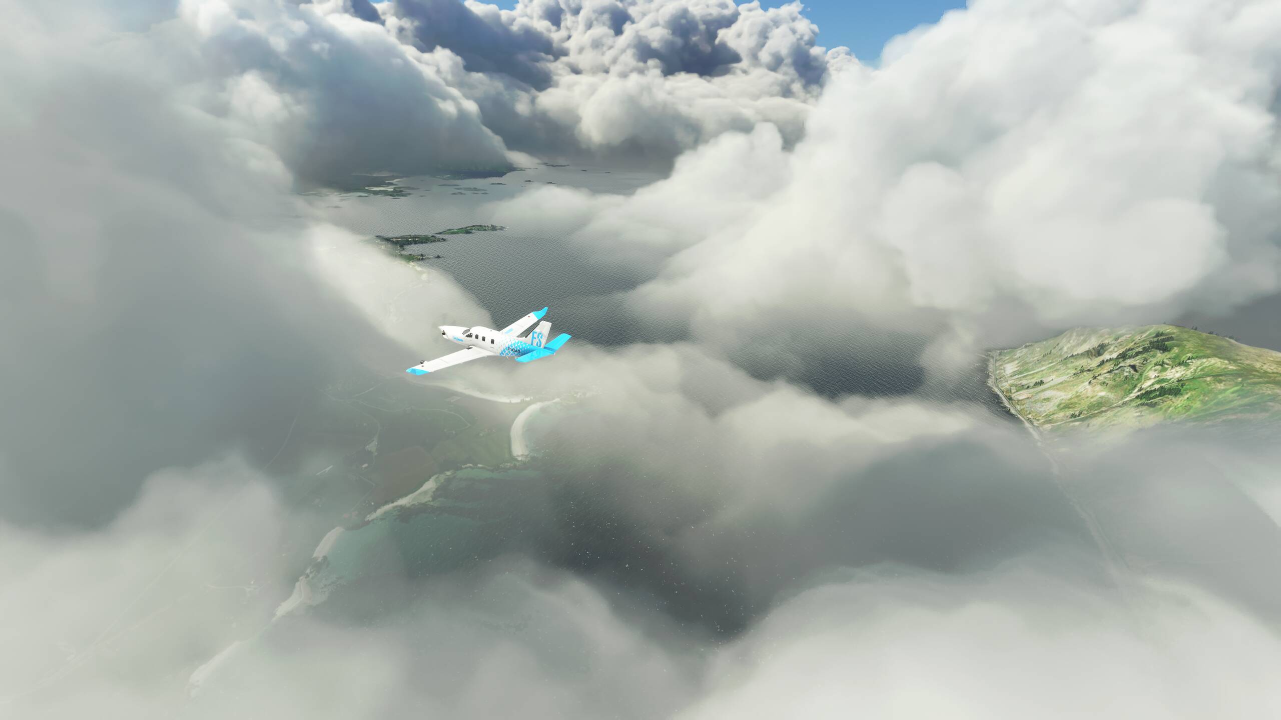
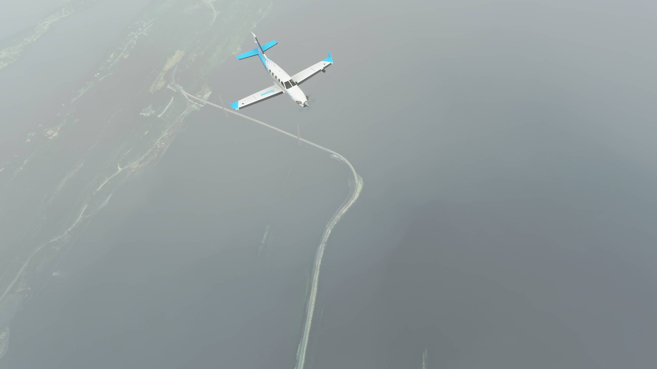
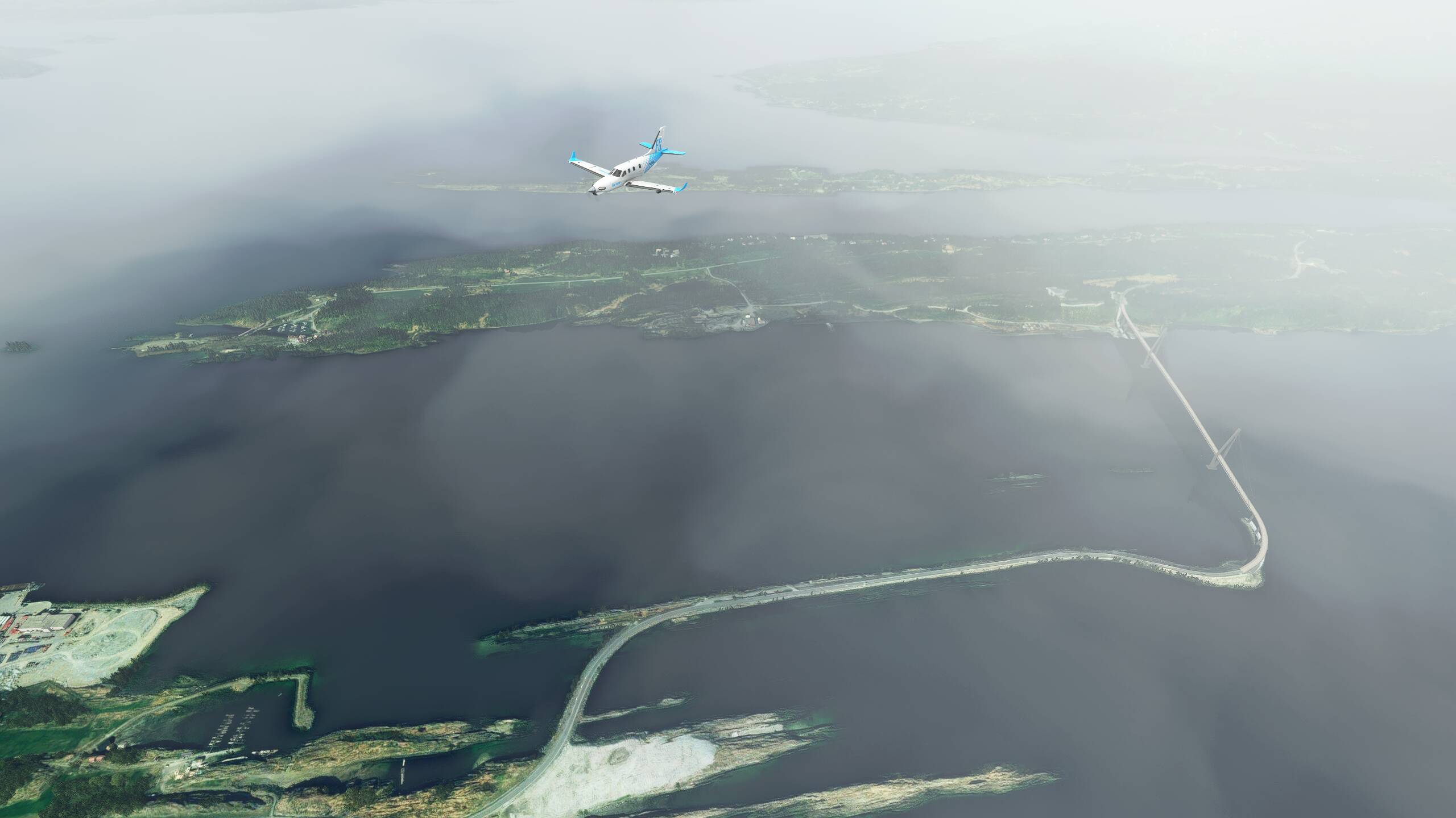
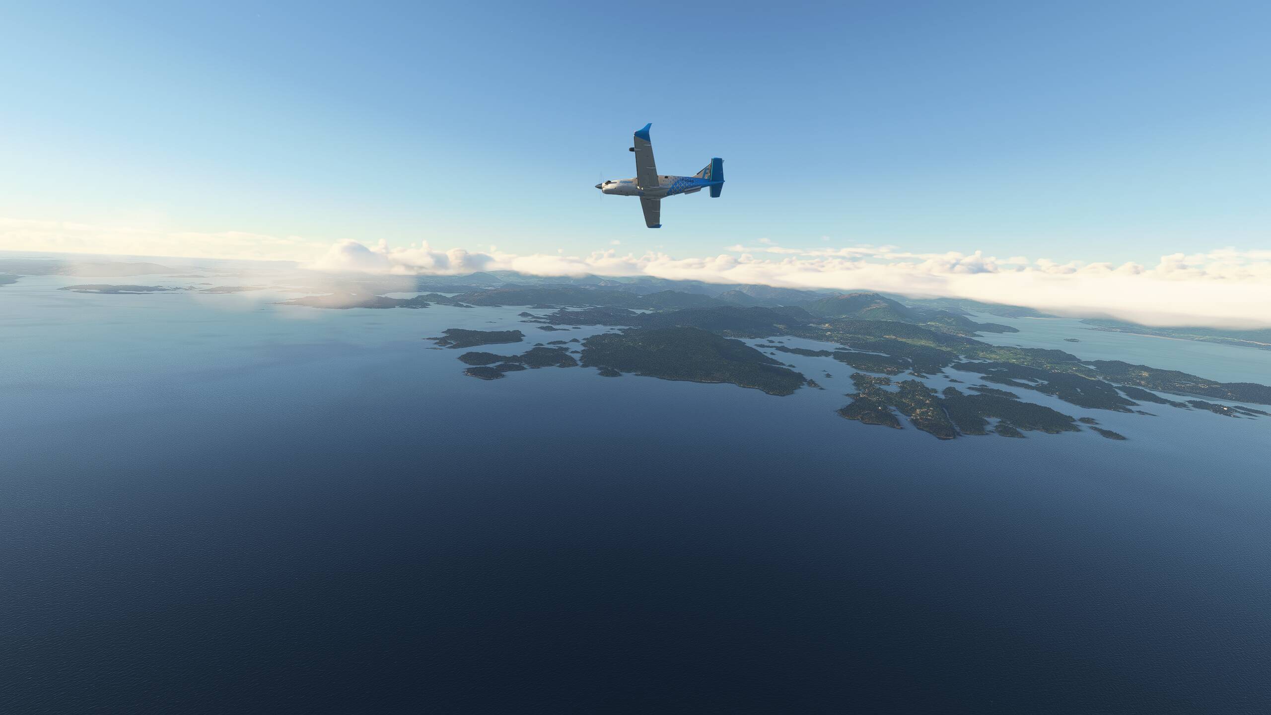
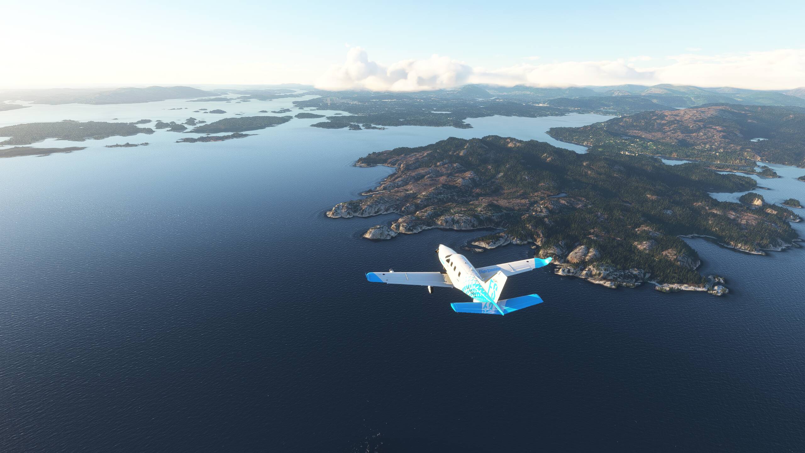
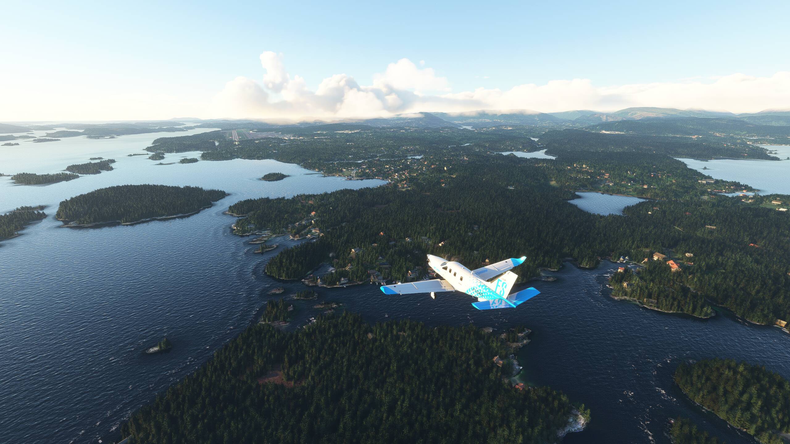
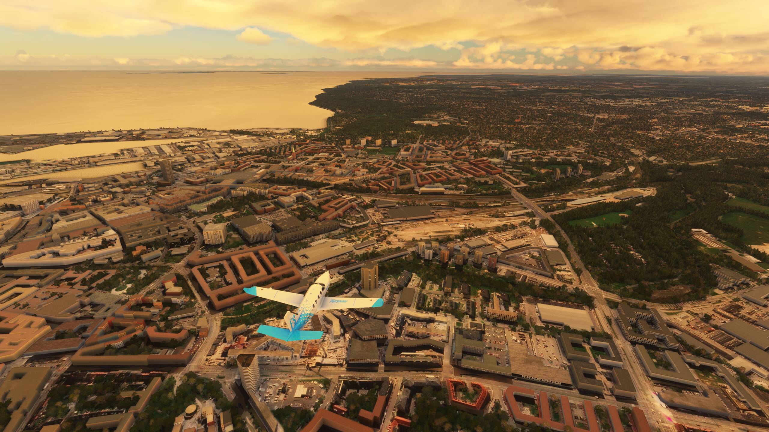
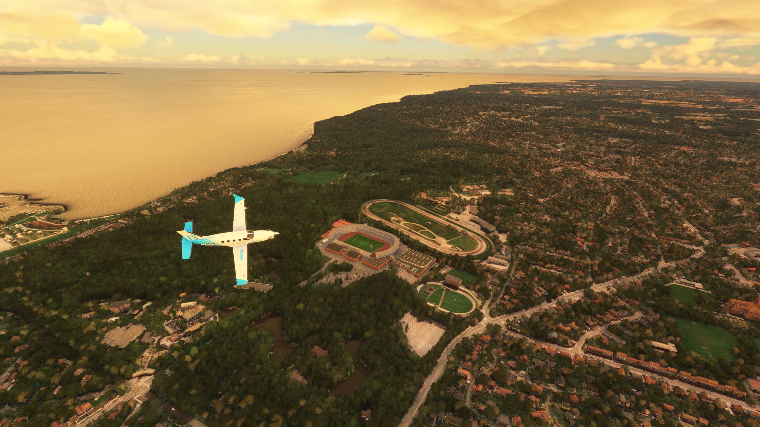
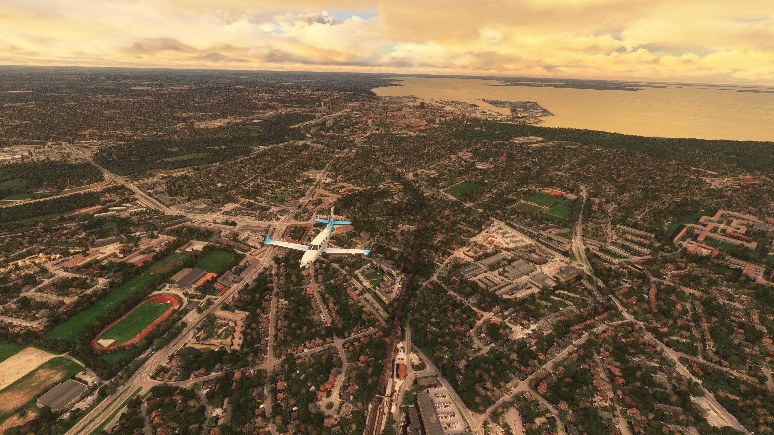
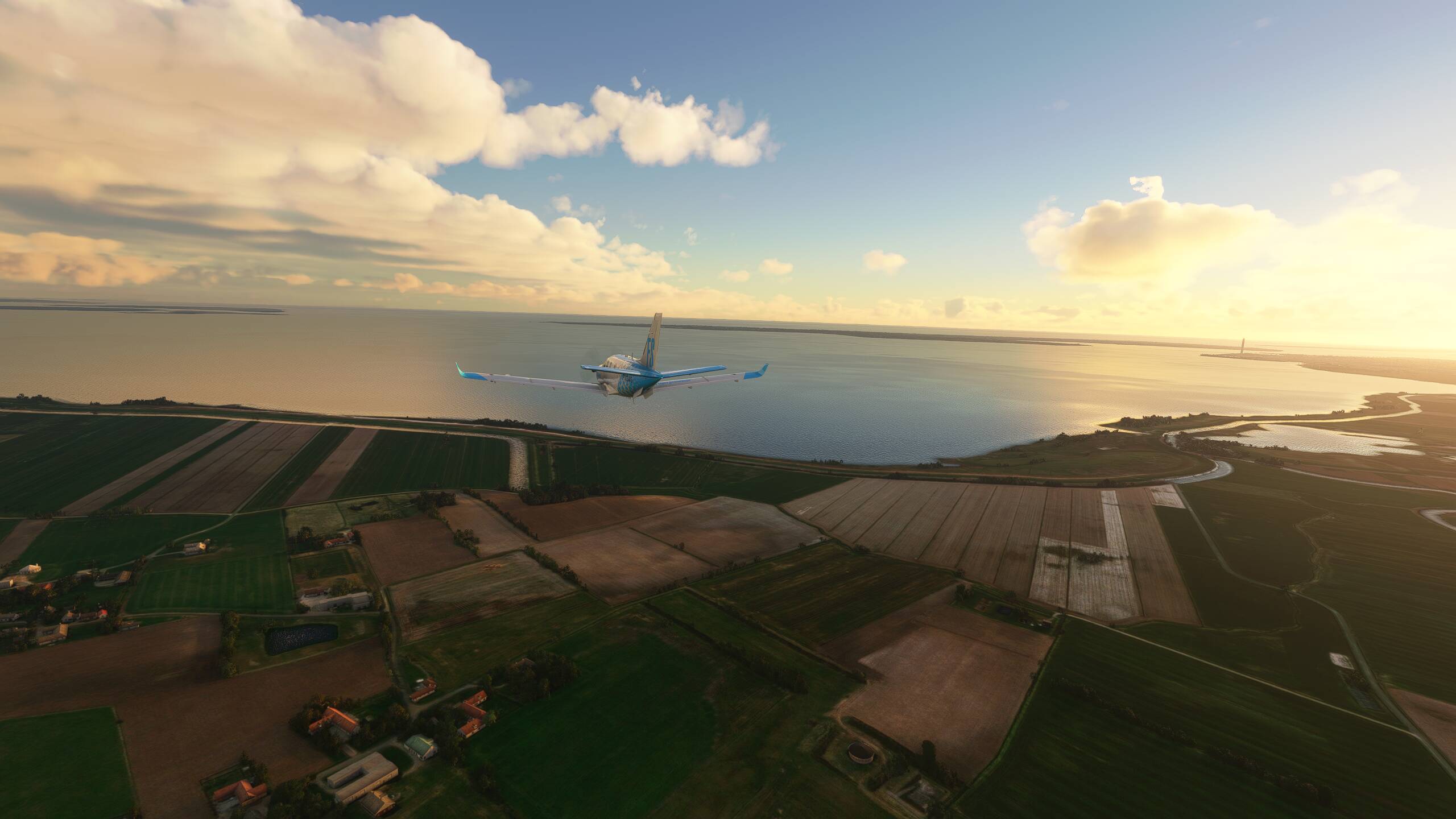
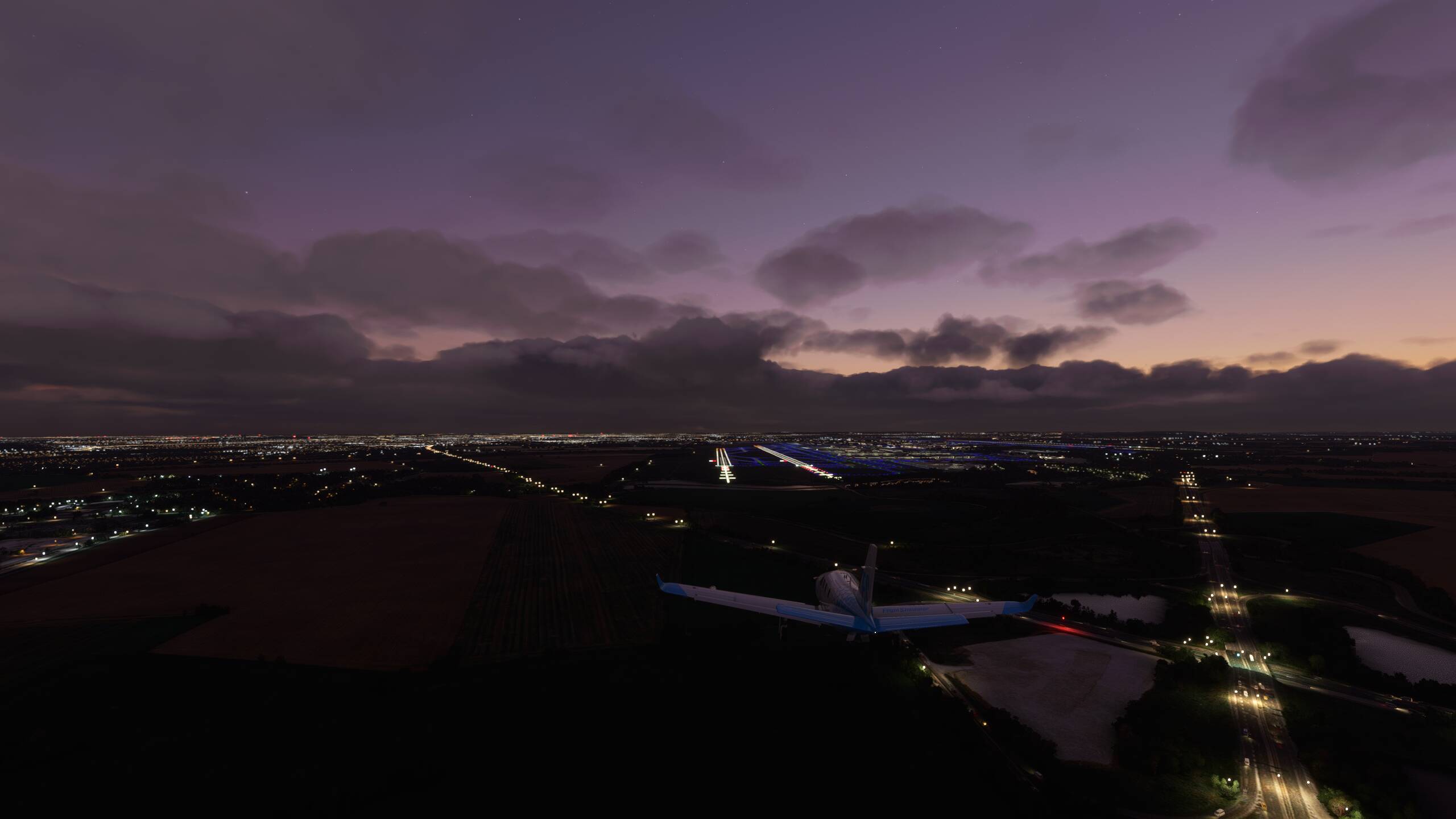
And our final leg towards Prague, scooting under the low cloud
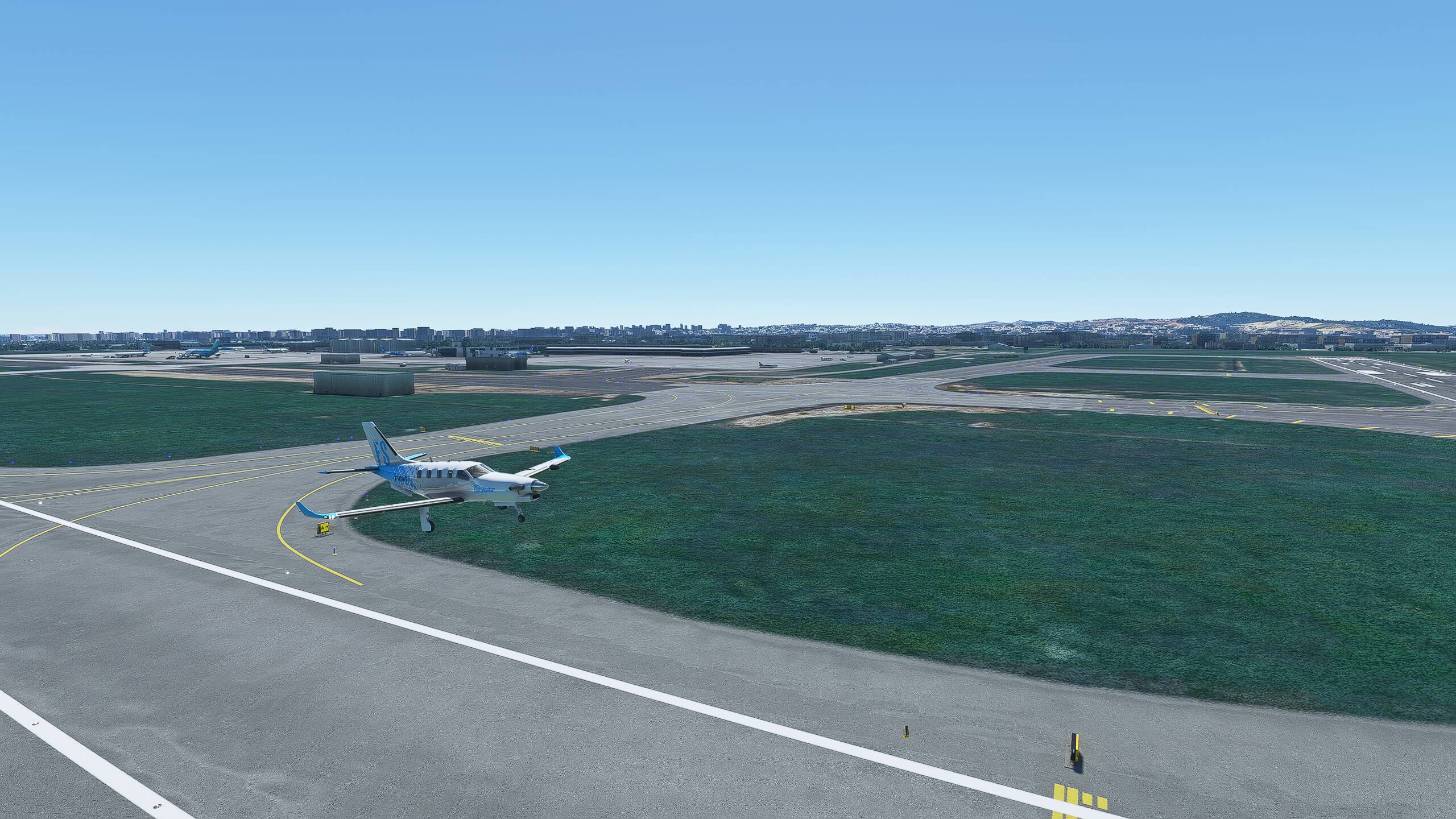
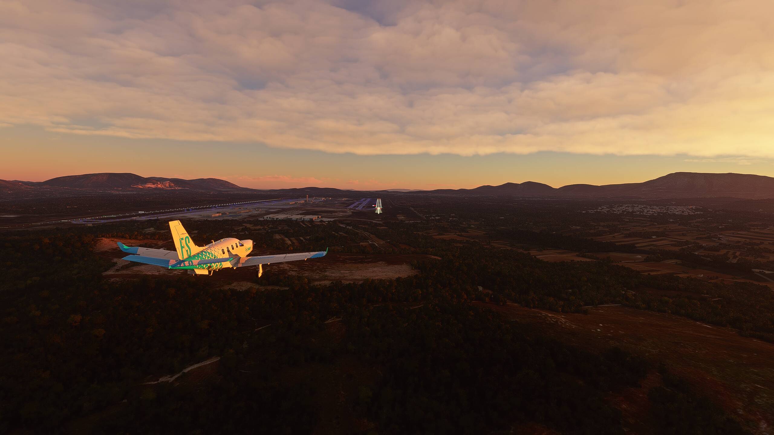
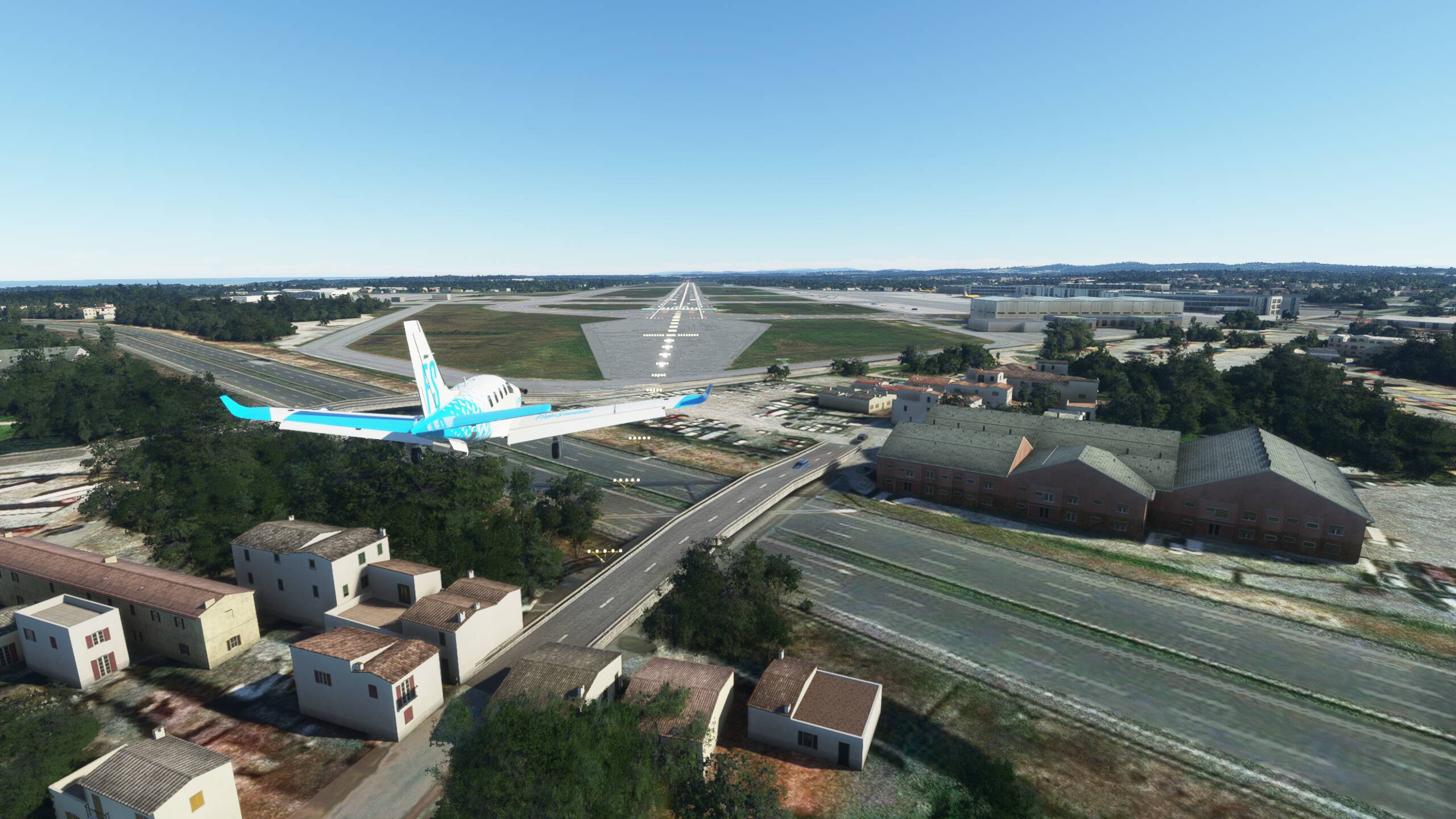
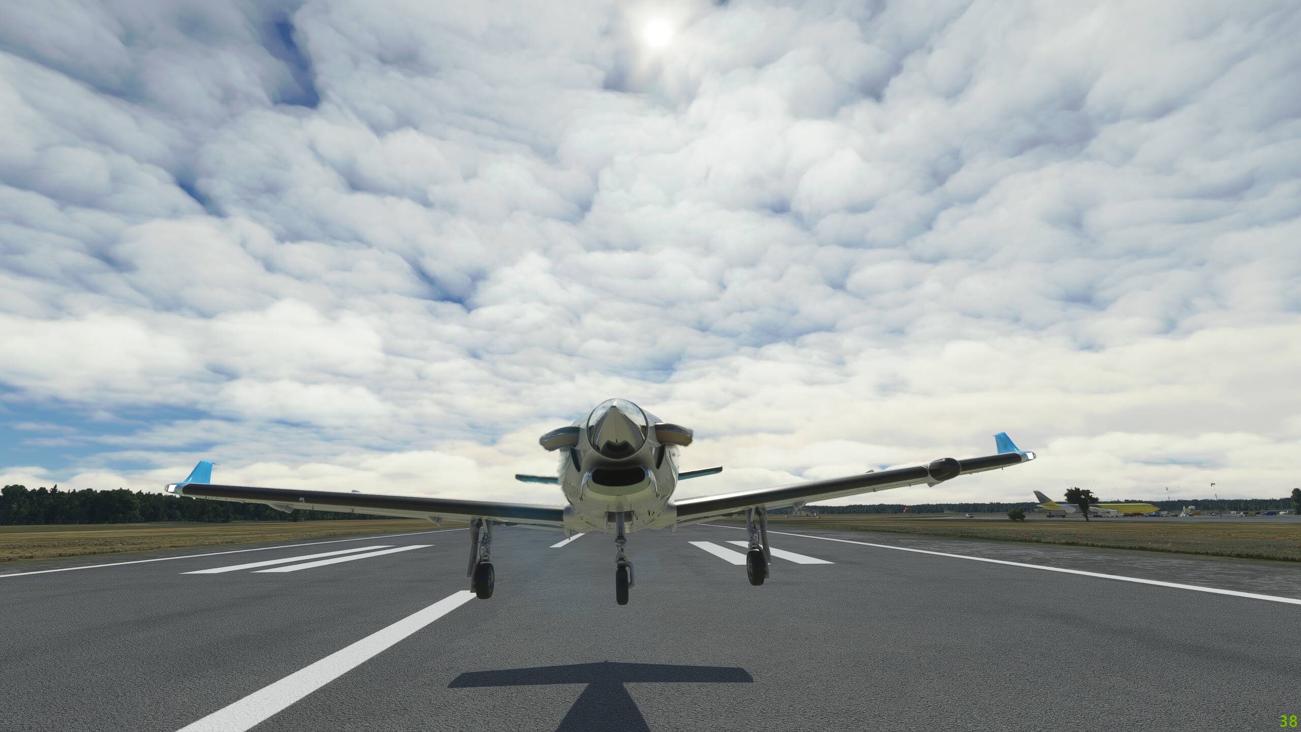
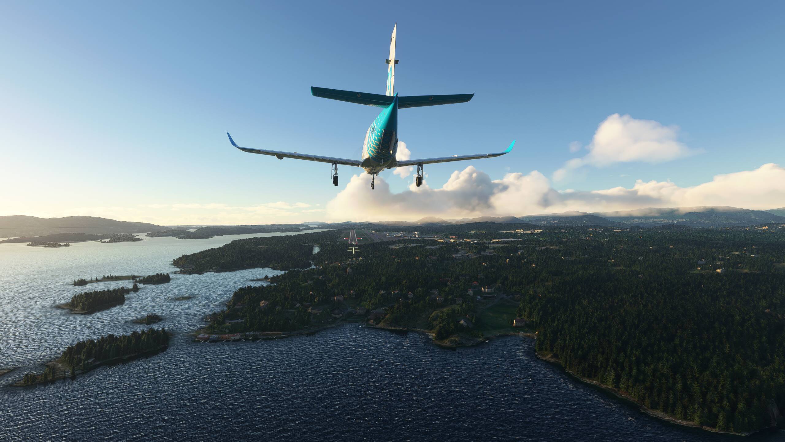
Turning to take up final approach, lining up nicely on the glideslope
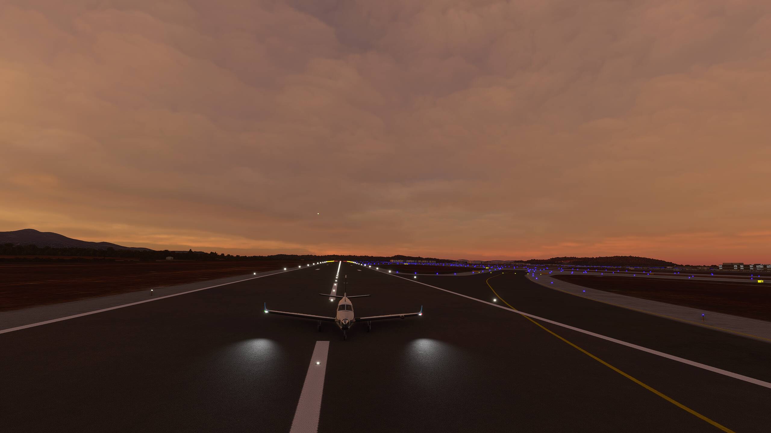
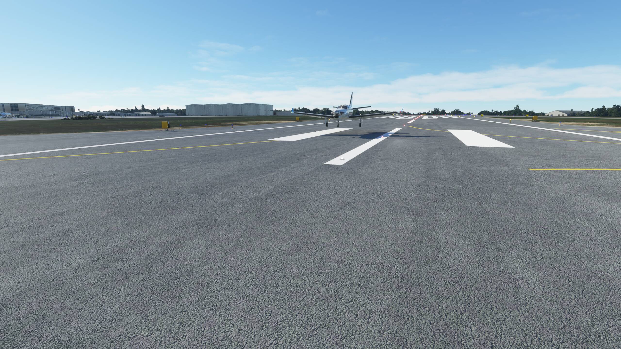
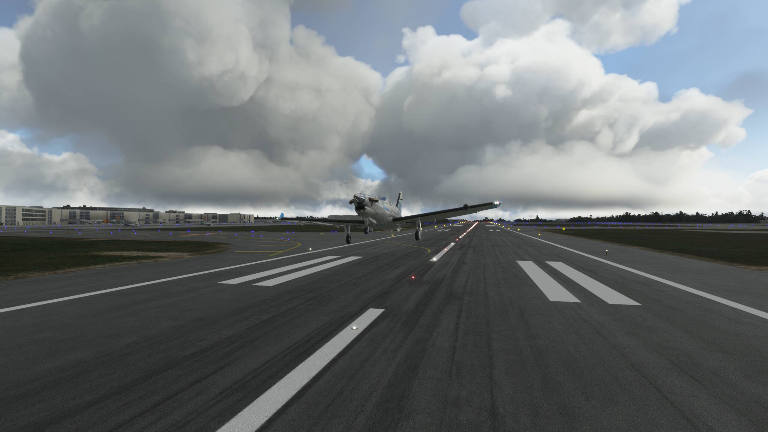
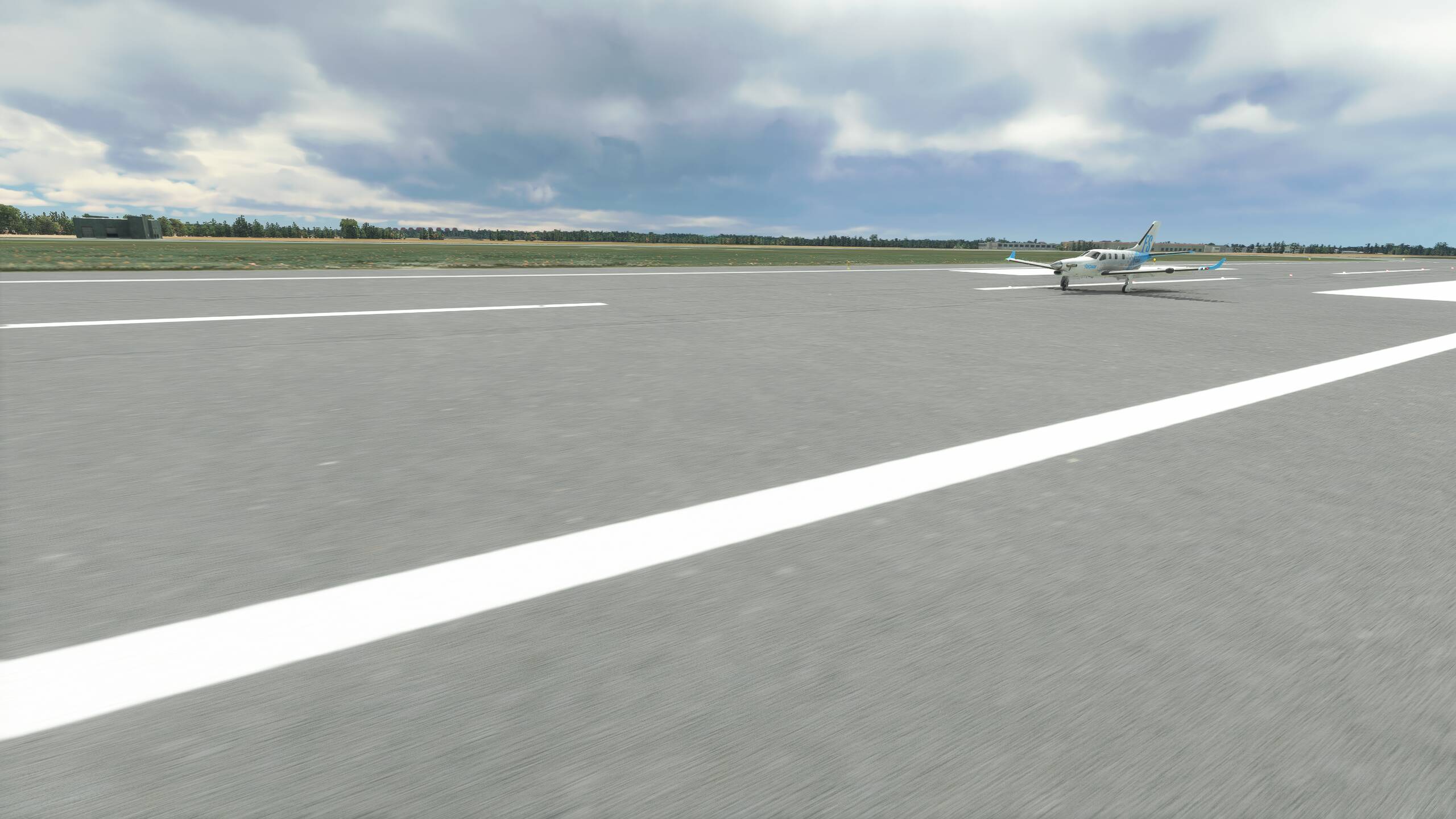
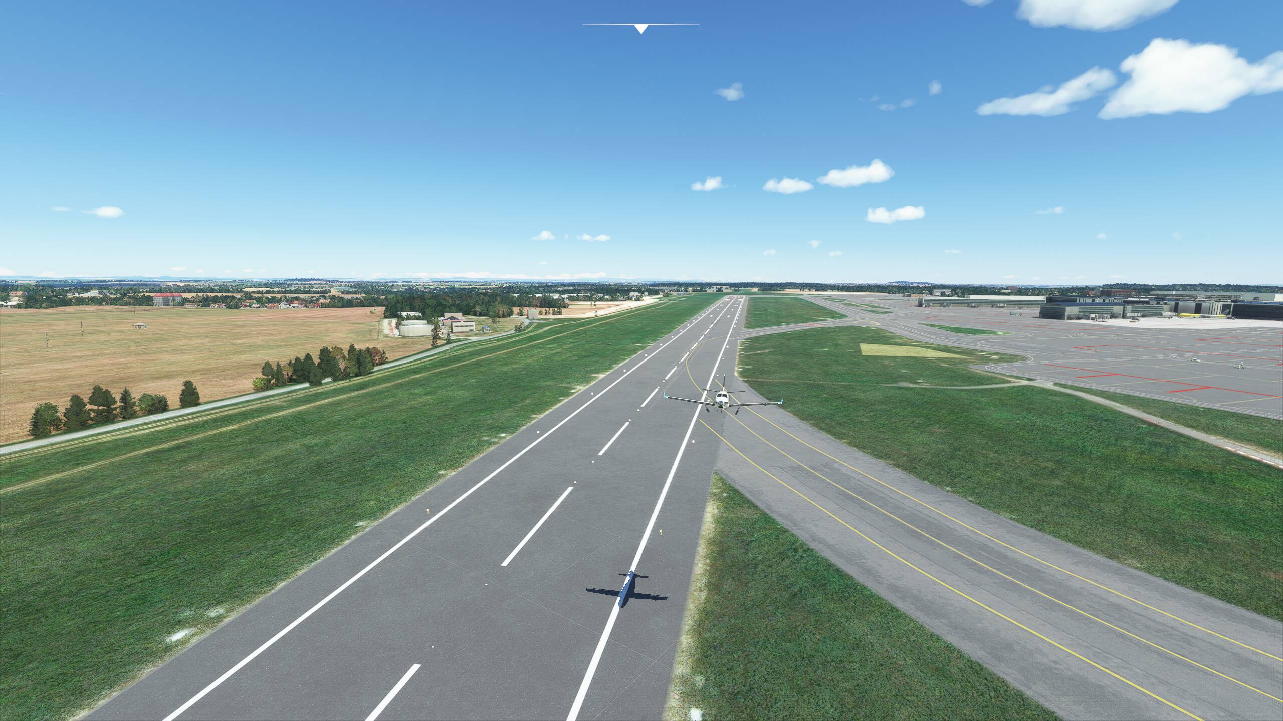
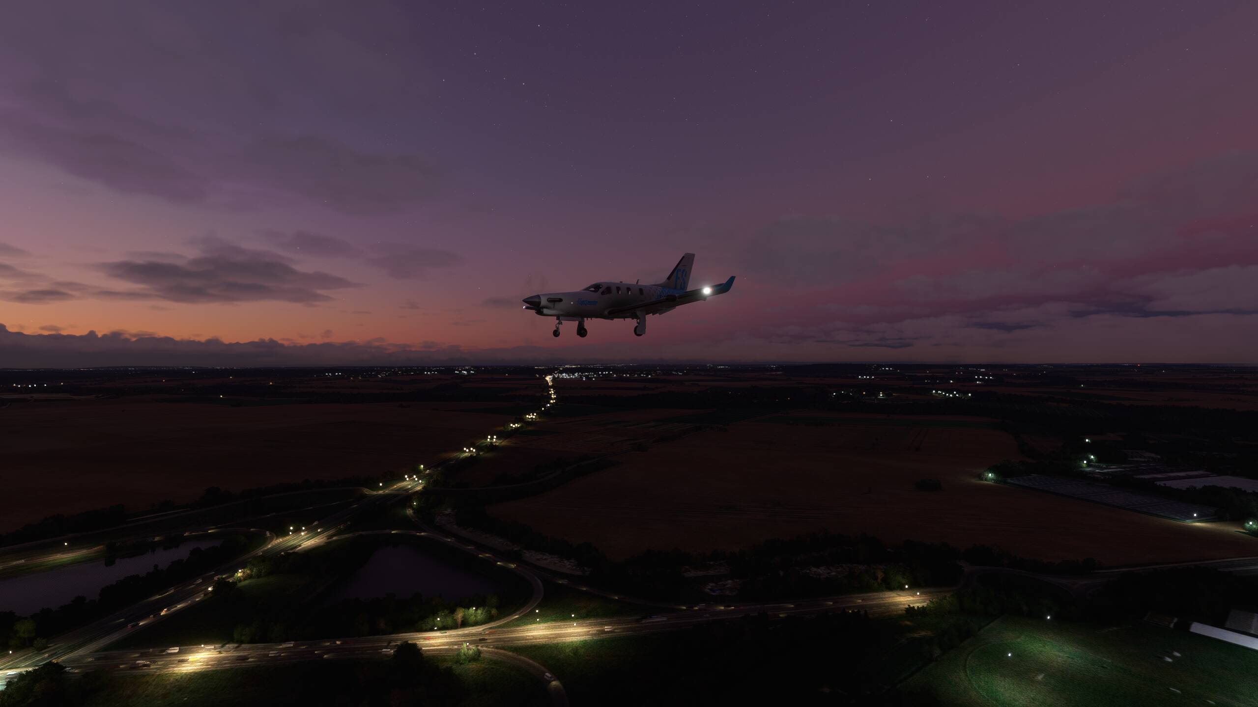
Coming in nicely
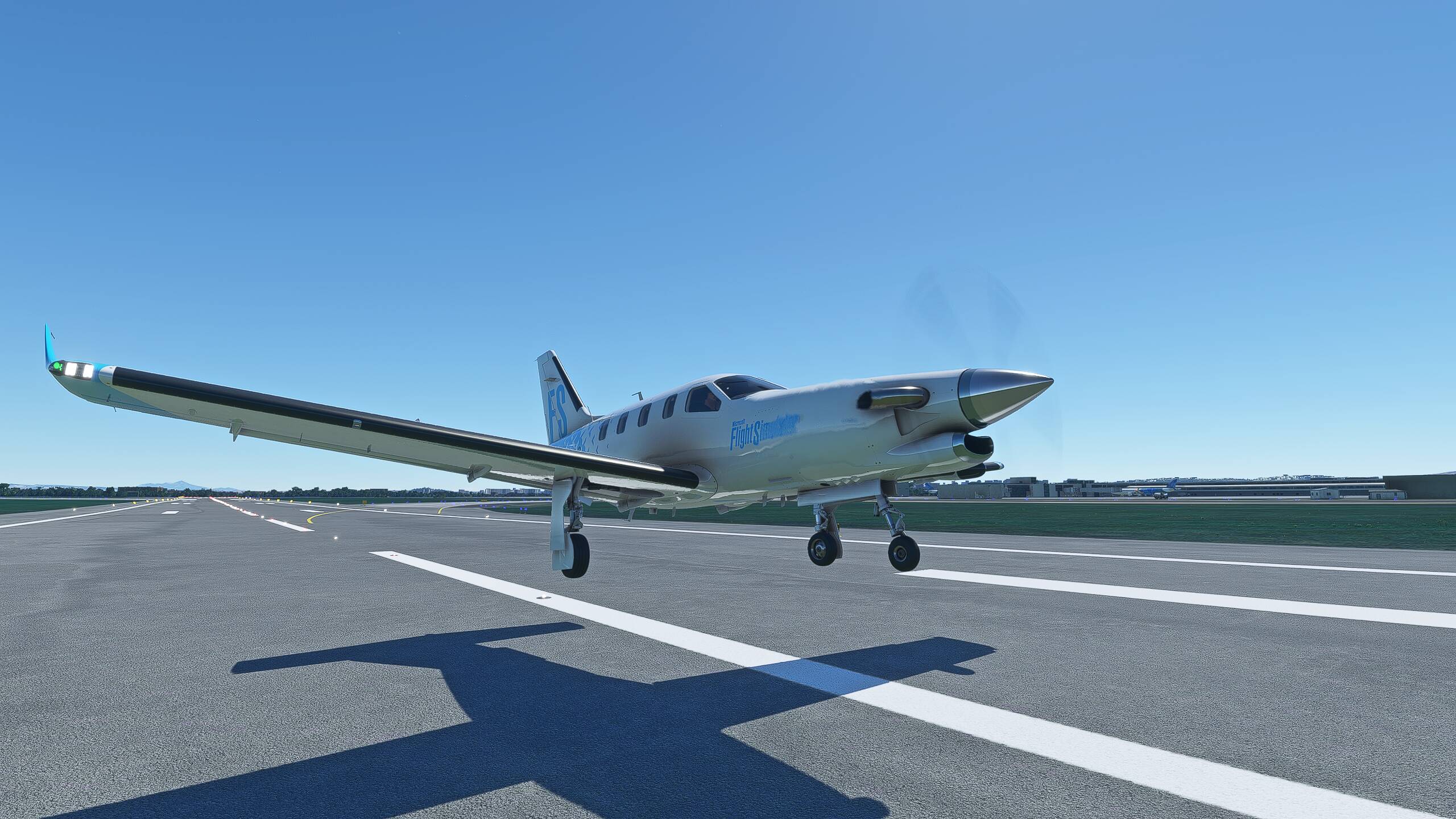
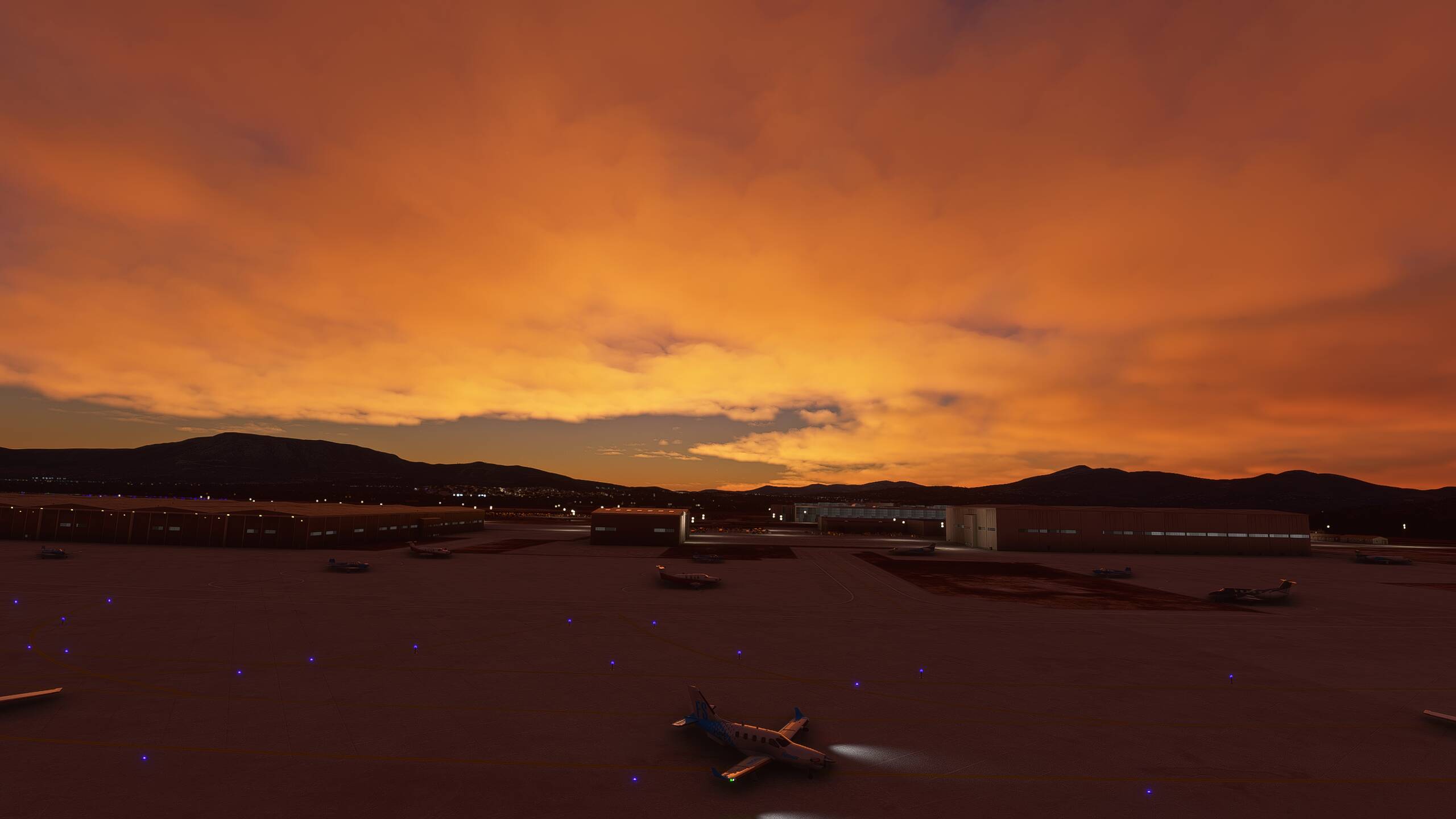
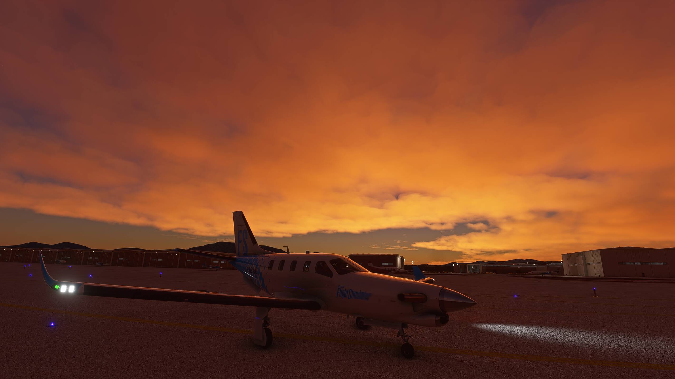
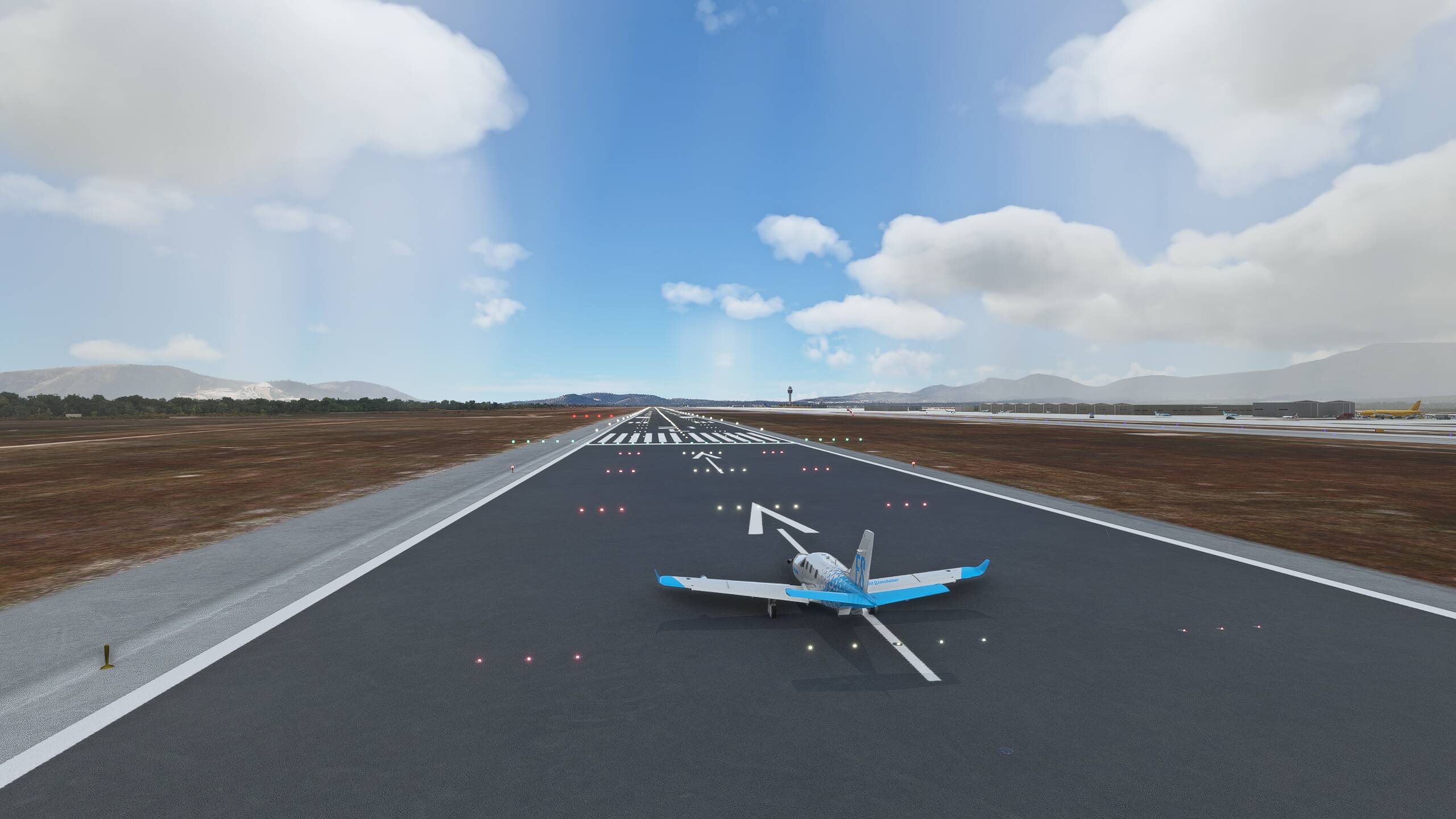
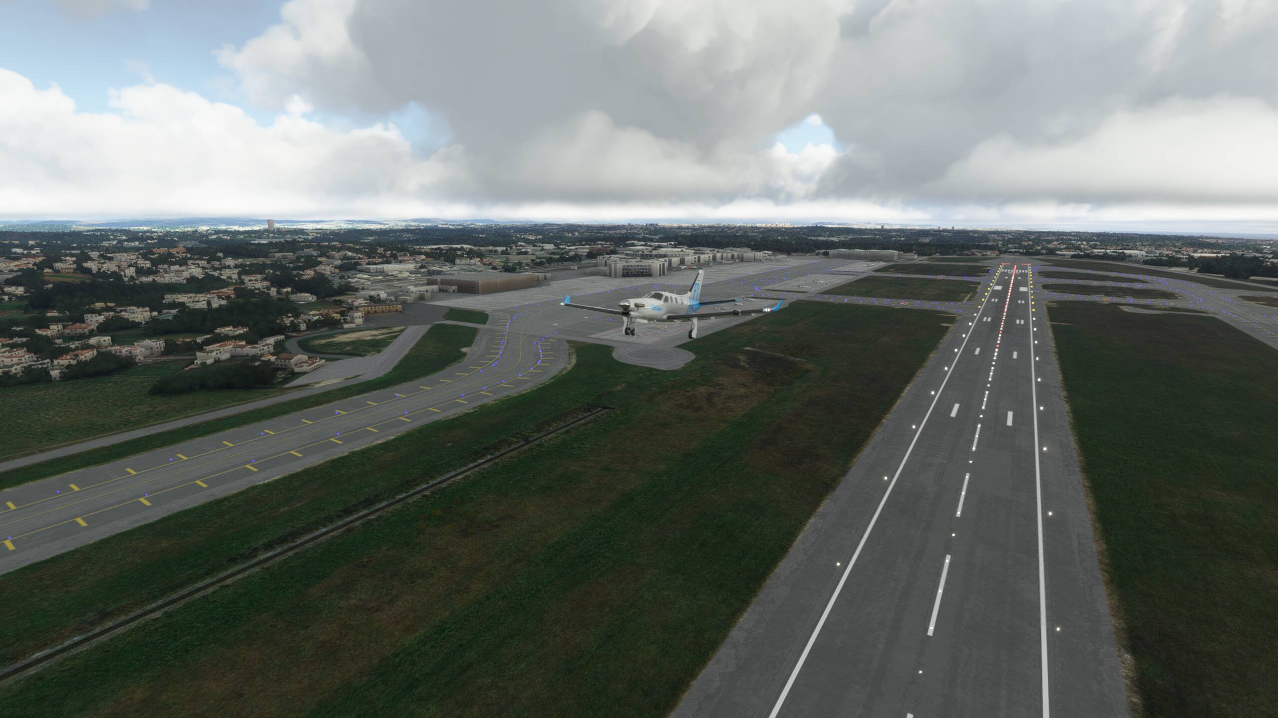
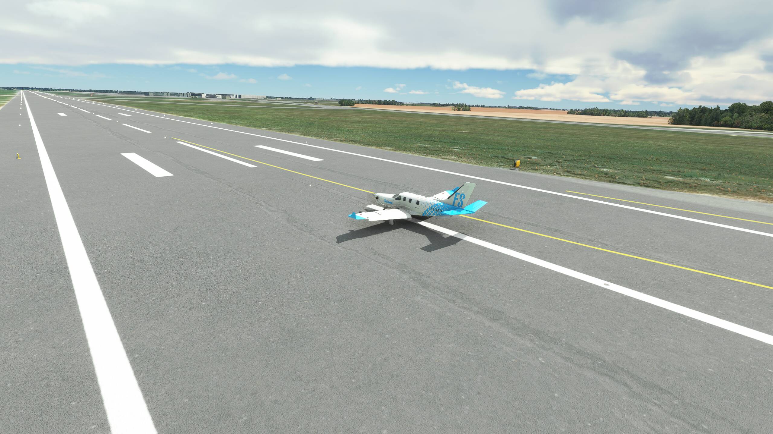
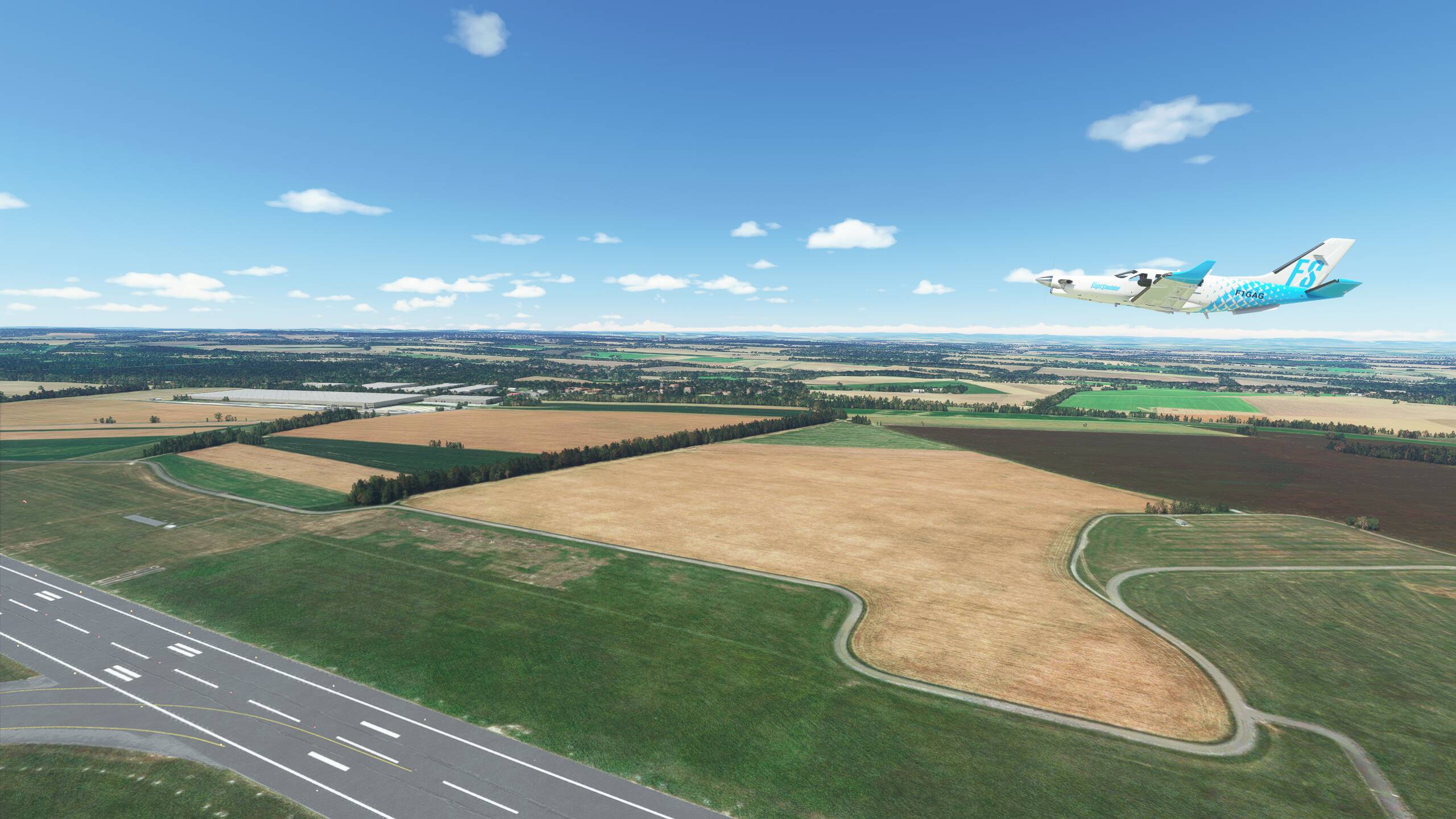
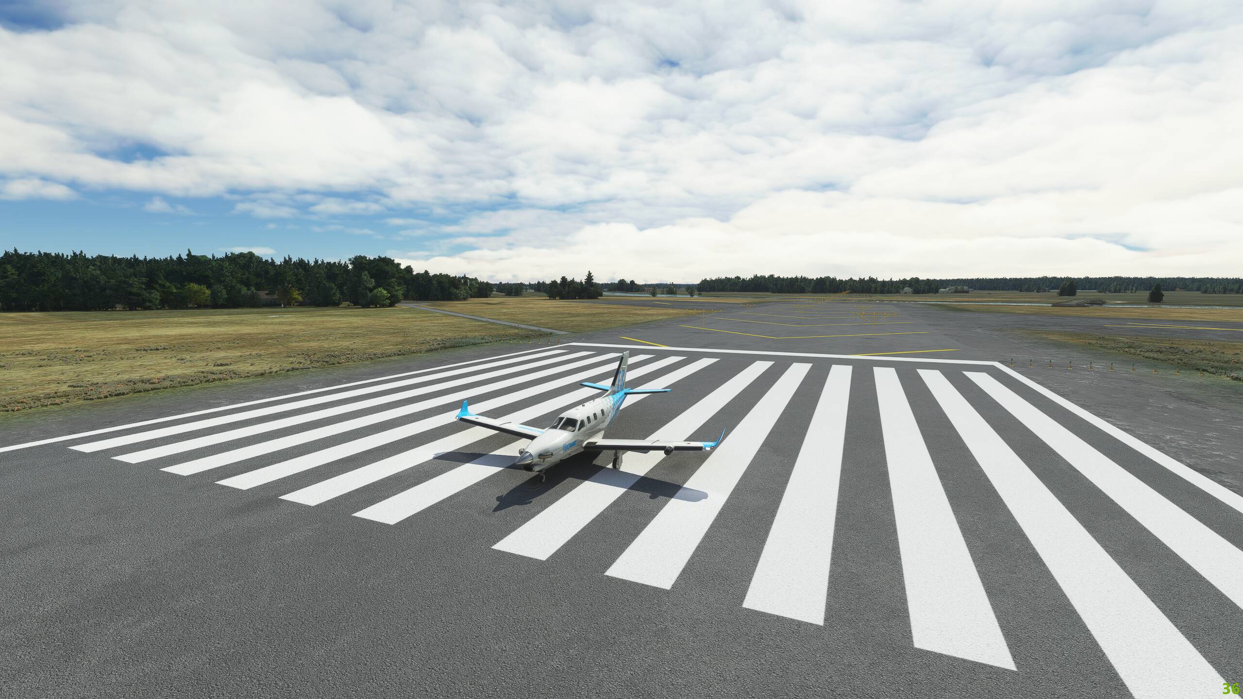
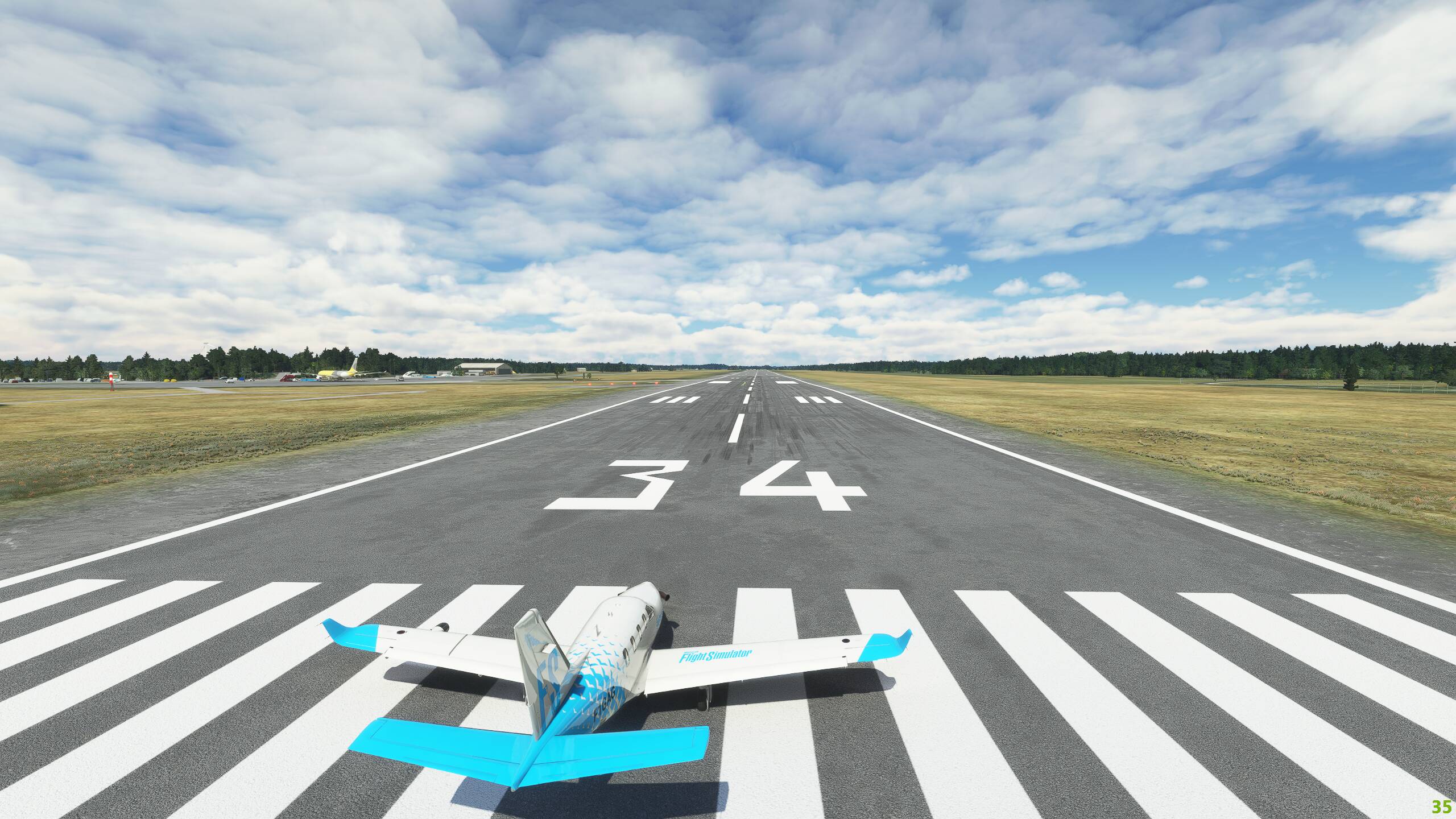
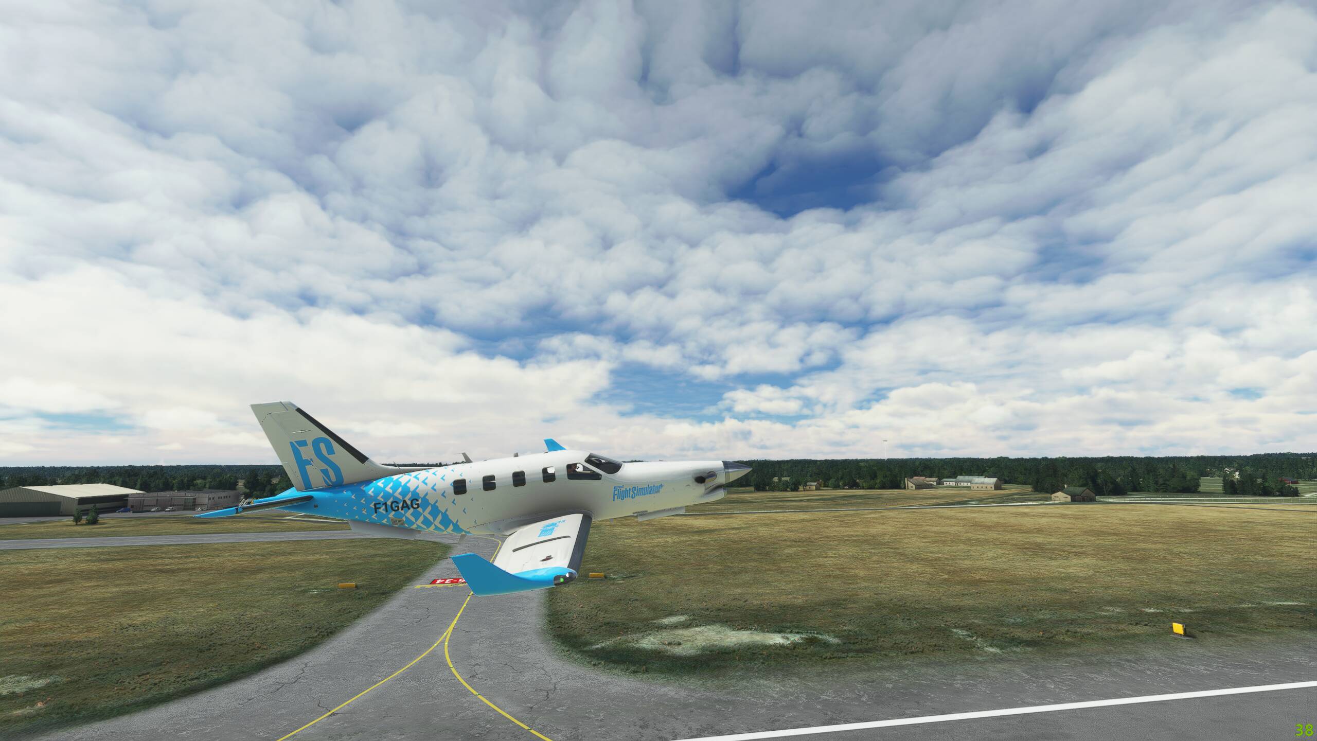
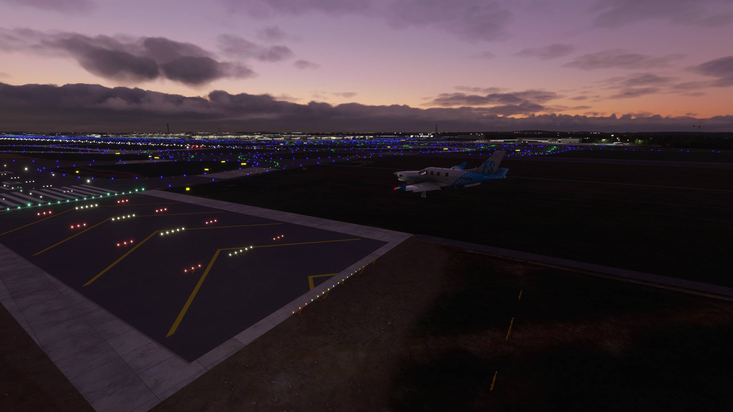
And down
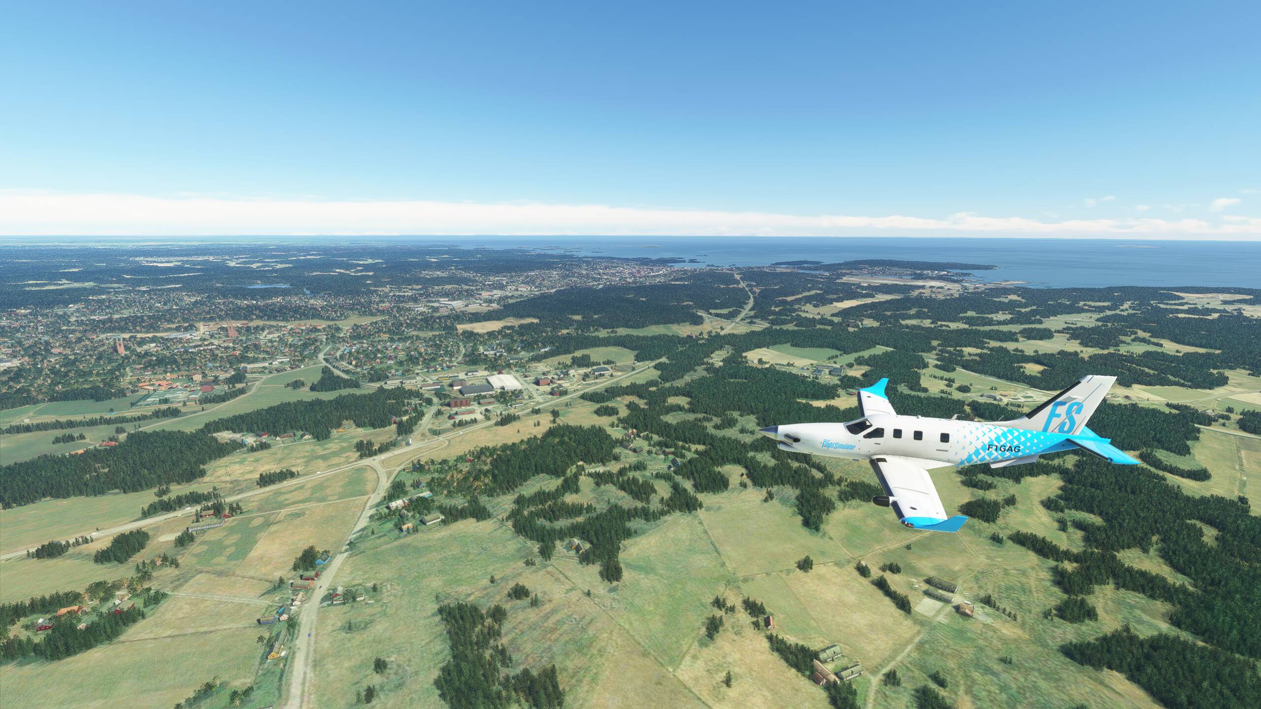
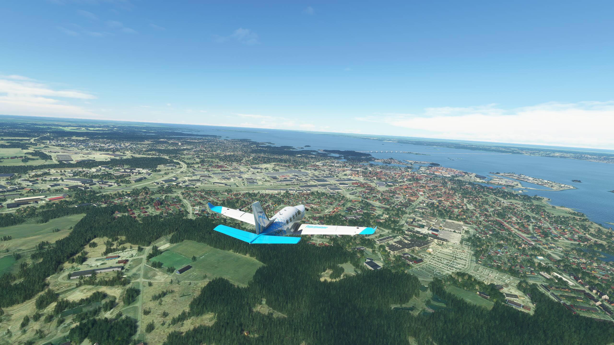
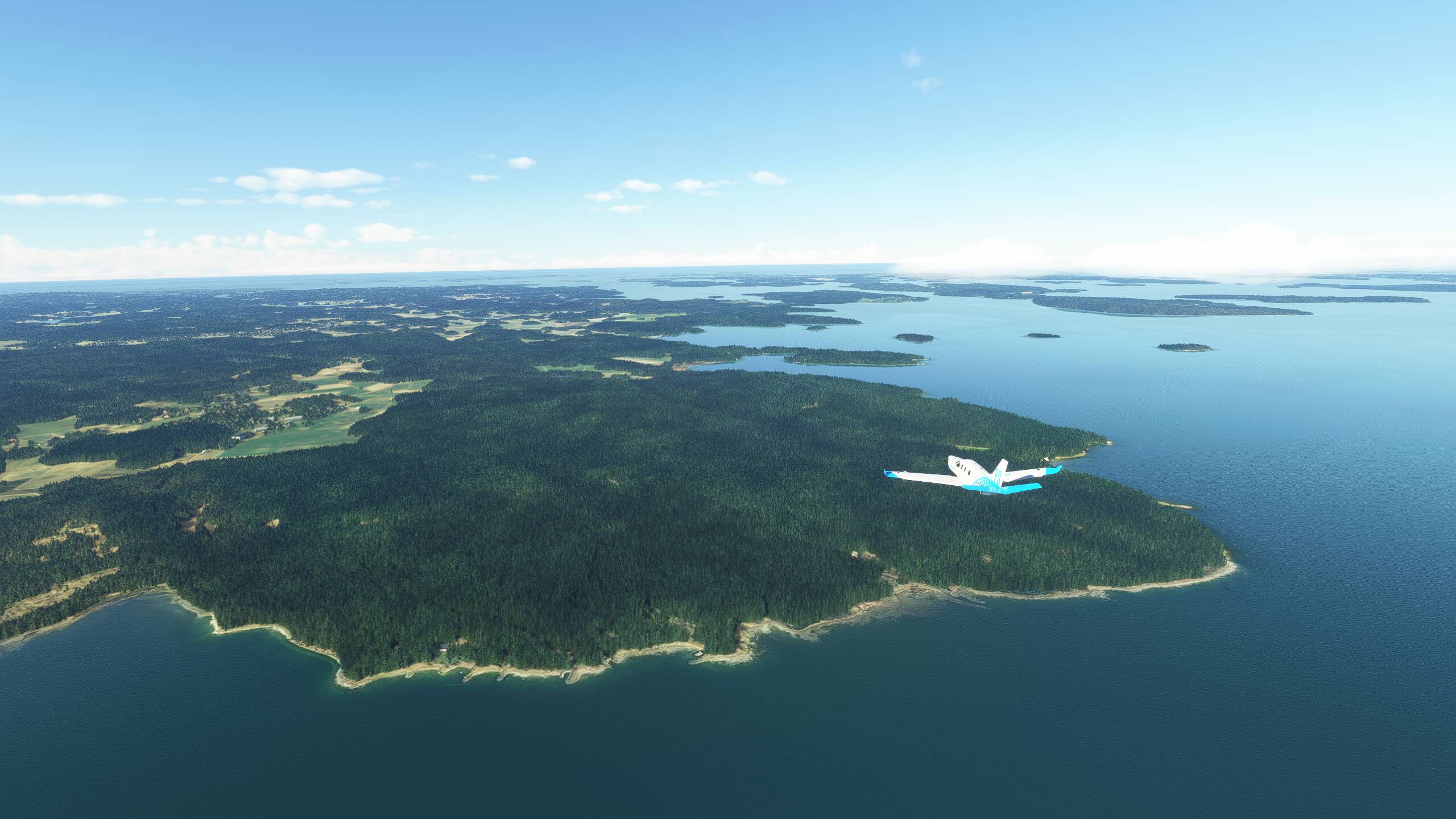
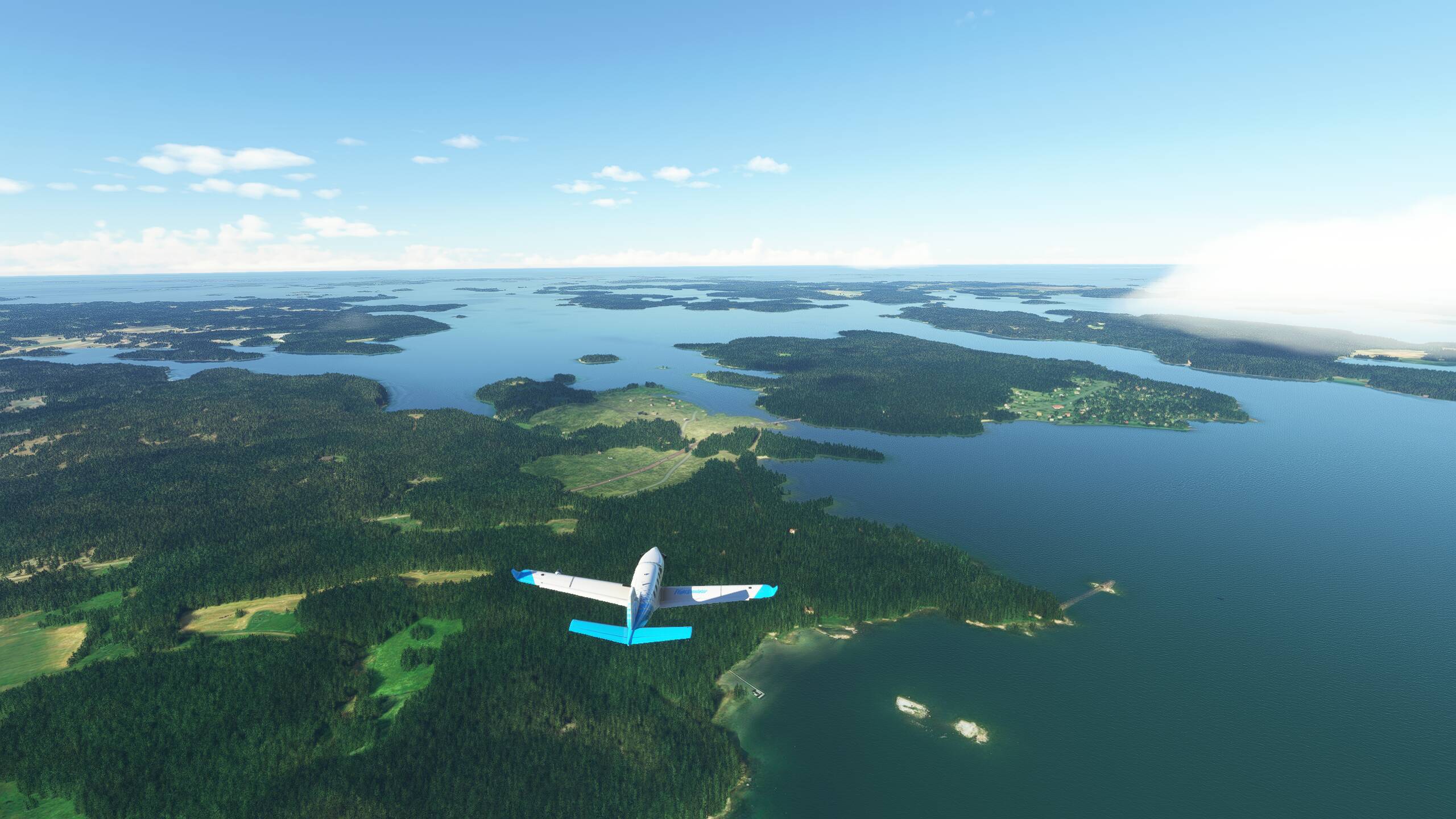
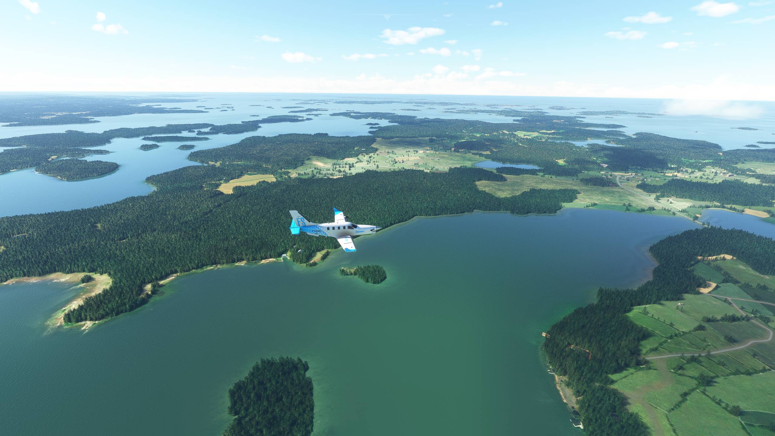
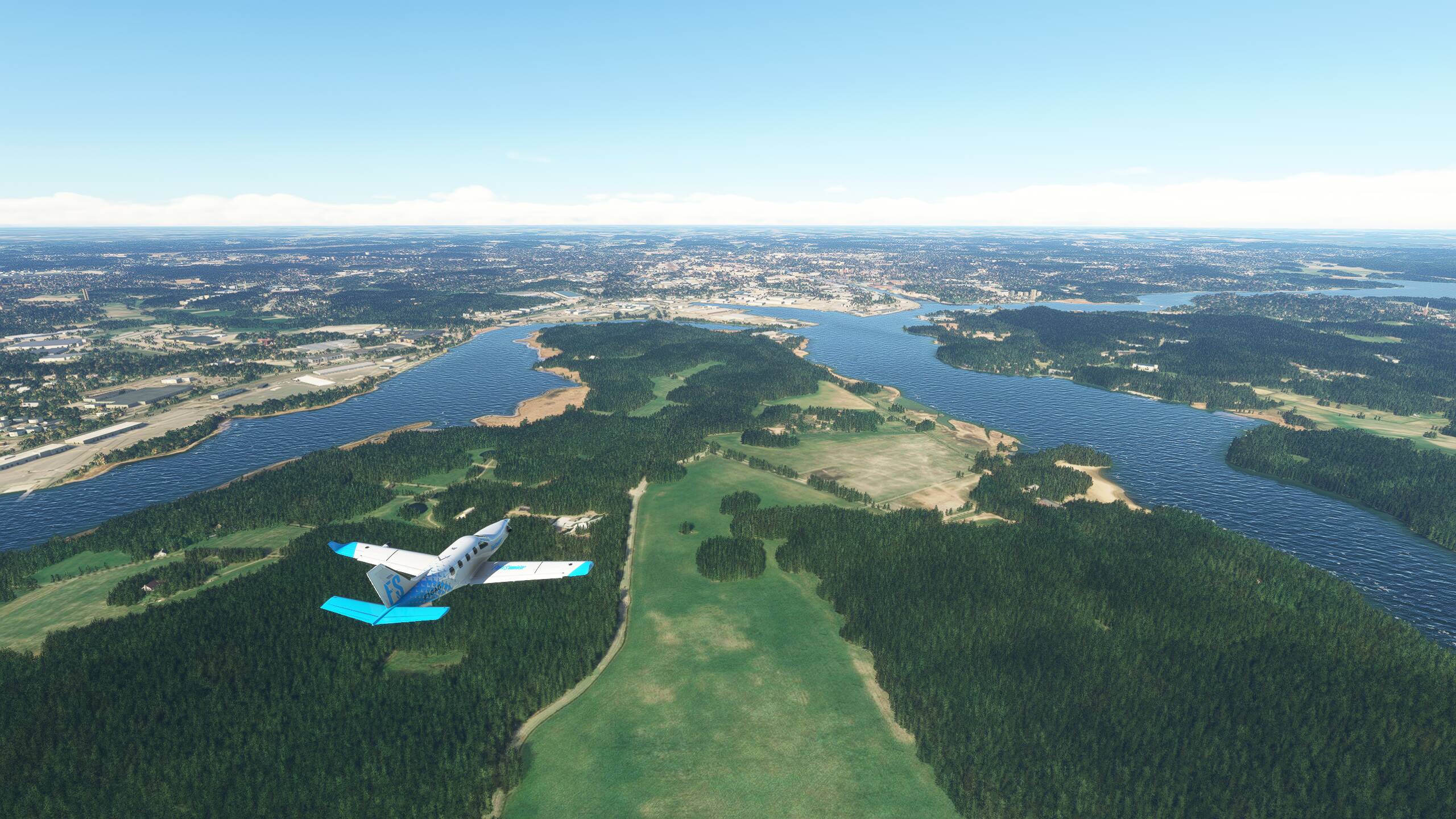
Cool. Next we will be heading North to Scandinavia think