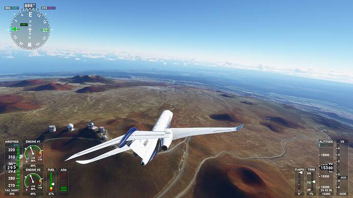
Brief description of the issue:
Doing flights over mountainous terrain, eg. between Innsbruck and Zurich, the mountains are continually popping and changing shape - others have described it as “morphing”. This came into existance after the USA update and has persisted through the UK and now the Nordics update, with the Nordics being the most noticeable and worst. This effect is very off putting as even if you try to ignore it, your eye is drawn to each mountain as it pops into a different shape.
*UPDATE THANKS TO CHAOTICSPLENDID: *
*It appears that these freeware mesh packages (such as this https://flightsim.to/file/14573/austria-10m-dem-high-resolution-terrain-elevation-data-from-lidar-imaging) are using BGL heightmaps instead of CGL, so it’s not placebo. The LOD is handled in a different way in BGL files which is why there is much less morphing compared to the default mesh.
Here are a couple of videos kindly supplied by Chaotic Splendid highlighting exactly the problem and demonstrating that it is nothing to do with data streaming as suggested in the recent Q/A. Data streaming was OFF for these examples as was TAA. The morphing is happening in the polygon rendering.
*
Here is another good example:
The problem also persists along coastlines as shown in this video:
Detail steps to reproduce the issue encountered:
Example: Fly over mountains near LOWI (for example) and observe them change shape before your very eyes!
I’m running everything on ultra apart from trees and grass (high) and render scaling at 150. Tried 100 and 200 and still have popping mountains.
PLEASE NOTE: I am not referring to terrain spikes, which have been widely reported and mostly fixed.

